Stage 6 of our journey takes us through some of the western USA’s best sights. From Montana, you’ll head into Wyoming to see Devil’s Tower before touring around the many sights of the Black Hills of South Dakota. You’ll take a trip though the Colorado Rockies, including a visit to the world famous ski resort of Aspen, before heading south into New Mexico and the final stop for this stage in Albuquerque.
Total Legs: 30 Total Distance: 1425 Total Time(125kts): 11 hours 24 minutes
Leg 1
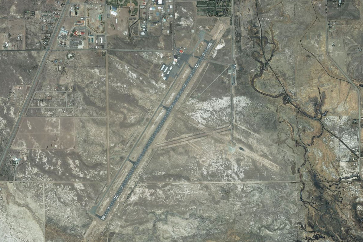
Flying from KBIL
Leg Distance: 38.37 Approximate time at 125kts: 18 minutes.
KBIL(KBIL) to Lockwood(POI1)
Distance: 5.07NM Bearing: 80° 2 minutes
Head east from the airport and cross the Yellowstone river, then follow I-94 to the northeast
Lockwood(POI1) to I-90(POI2)
Distance: 1.78NM Bearing: 42° 1 minutes
After a couple of miles there will be an interchange with I-90, follow it east
I-90(POI2) to I-90(POI3)
Distance: 9.95NM Bearing: 97° 5 minutes
Stay with I-90 as it heads slightly to the southeast
I-90(POI3) to I-90(POI4)
Distance: 9.02NM Bearing: 79° 4 minutes
Continue east along I-90
I-90(POI4) to I-90(POI5)
Distance: 6.12NM Bearing: 100° 3 minutes
Follow the highway along its curves to the southeast
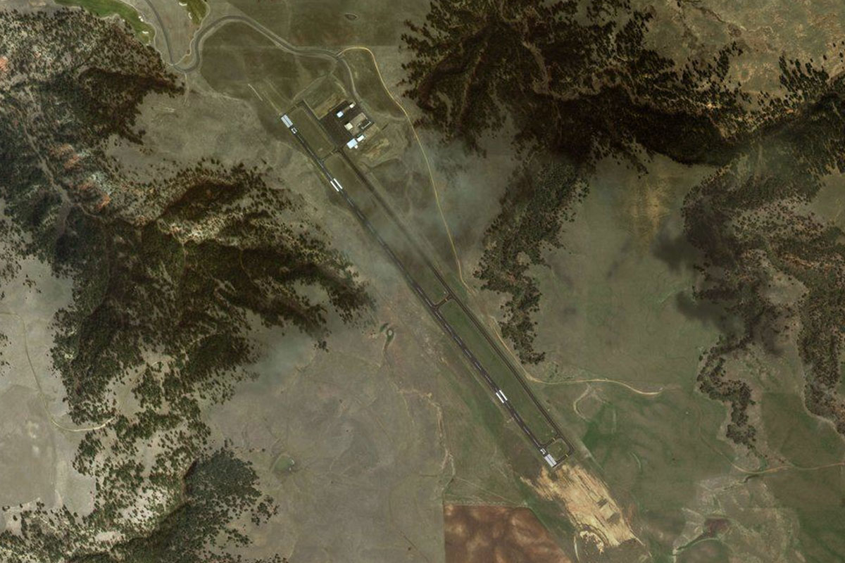
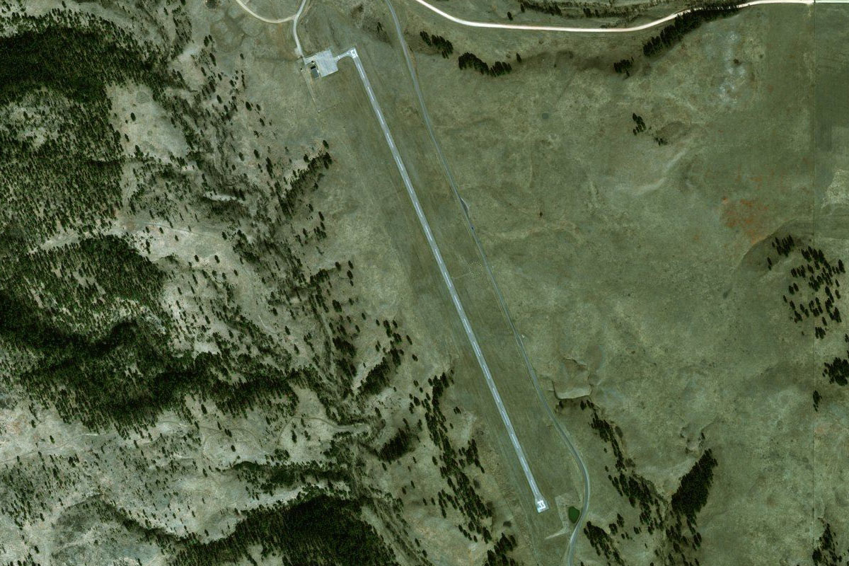
I-90(POI5) to 00U(00U)
Distance: 6.43NM Bearing: 80° 3 minutes
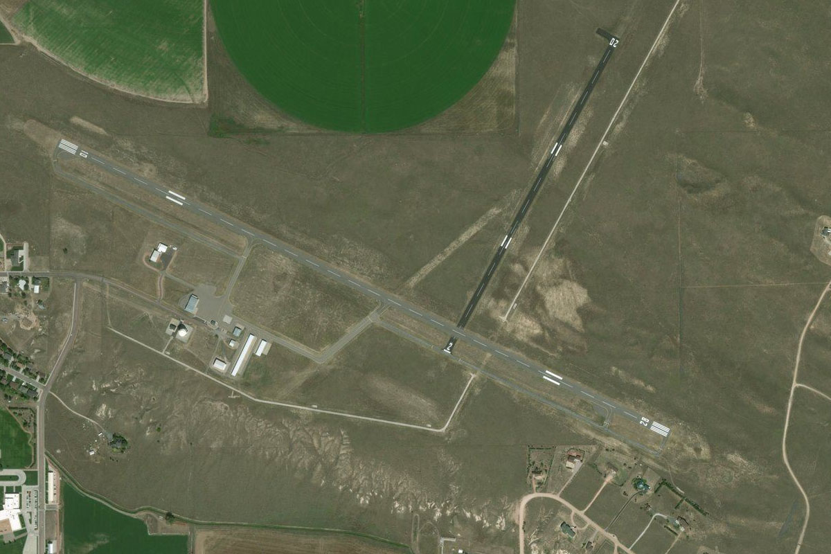
The highway will straighten east again as it heads to the town of Hardin, and the airport which sits at the side of the highway before the town
Leg 2
Flying from 00U
Leg Distance: 64.94 Approximate time at 125kts: 31 minutes.
00U(00U) to Crow Agency(POI6)
Distance: 12.9NM Bearing: 129° 6 minutes
After takeoff, head east over the town and meet back up with the interstate as it turns to the southeast
Crow Agency(POI6) to Little Bighorn(POI7)
Distance: 1.52NM Bearing: 102° 1 minutes
As I-90 turns to the south it will pass through the town of Crow Agency before the large intersection with US highway 212. Turn left and follow US-212 east. Just to the south of the highway is the Little Bighorn Battlefield National Monument
Little Bighorn(POI7) to Busby(POI8)
Distance: 19.34NM Bearing: 89° 9 minutes
Continue following the highway on its journey east
Busby(POI8) to Lame Deer(POI9)
Distance: 11.6NM Bearing: 47° 6 minutes
Keep following the highway past the town of Busby as it turns to the northeast. It will turn back to the east just before the town of Lame Deer
Lame Deer(POI9) to 3U4(3U4)
Distance: 19.58NM Bearing: 86° 9 minutes
Continue along the highway as it cuts its way east through the hills before the small descent into the town of Ashland. The airfield is just to the north of town
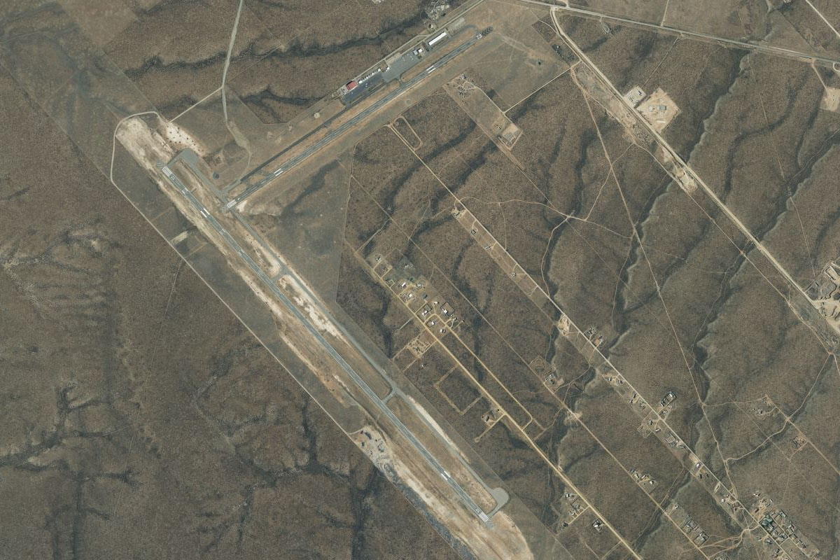
Leg 3
Flying from 3U4
Leg Distance: 35.38 Approximate time at 125kts: 17 minutes.
3U4(3U4) to US-212(POI10)
Distance: 28.85NM Bearing: 96° 14 minutes
After takeoff, head back to the highway and follow its journey east
US-212(POI10) to 00F(00F)
Distance: 6.53NM Bearing: 88° 3 minutes
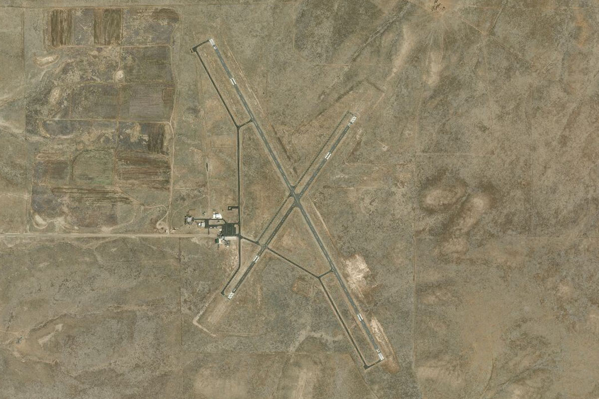
Broadus airport is just before the town on the north side of the highway
Leg 4
Flying from 00F
Leg Distance: 69.77 Approximate time at 125kts: 33 minutes.
00F(00F) to Willow Creek(POI11)
Distance: 41.73NM Bearing: 112° 20 minutes
Head southeast over the town and back along the highway, which will continue mostly in the same southeasterly direction. After about 40 nautical miles the road will intersect Willow Creek. At this point, turn south
Willow Creek(POI11) to WY-112(POI12)
Distance: 17.3NM Bearing: 173° 8 minutes
Flying south to the town of Hulett, you will first cross paths with a small reservoir south of the highway, then the winding Little Missouri River and a smaller road, before meeting up with state road 112 which is also heading south towards Hulett
WY-112(POI12) to WY-112(POI13)
Distance: 6.68NM Bearing: 177° 3 minutes
The road will start winding its way through some hillier country before turning southeast towards Hulett
WY-112(POI13) to W43(W43)
Distance: 4.06NM Bearing: 130° 2 minutes
The airport is just southeast of the town, with a golf course lying in between
Leg 5
Flying from W43
Leg Distance: 50.87 Approximate time at 125kts: 24 minutes.
W43(W43) to Devils Tower(POI14)
Distance: 8.7NM Bearing: 232° 4 minutes
Fly southwest from Hulett Airport and you'll soon see the famous butte of Devils Tower, the USA's first national monument. Fly to its right side and do a left circuit around it for a great view
Devils Tower(POI14) to I-90(POI15)
Distance: 23.31NM Bearing: 92° 11 minutes
Head east from Devils Tower, over the wooded hills, and eventually meeting interstate 90 as it also makes its way east
I-90(POI15) to Spearfish(POI16)
Distance: 14.63NM Bearing: 84° 7 minutes
Follow the highway east as it heads for the town of Spearfish
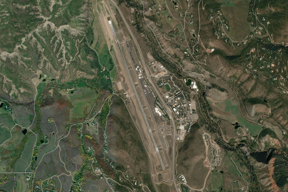
Spearfish(POI16) to KSPF(KSPF)
Distance: 4.23NM Bearing: 117° 2 minutes
As the road turns south to meet the town, you should see the airport to the southeast on the other side of the hills
Leg 6
Flying from KSPF
Leg Distance: 39.39 Approximate time at 125kts: 19 minutes.
KSPF(KSPF) to Spearfish Canyon(POI17)
Distance: 2.77NM Bearing: 258° 1 minutes
Heading back west from the airport, on the other side of the highway you will see a golf course which sits at the mouth of Spearfish Canyon. Head south into the canyon
Spearfish Canyon(POI17) to Spearfish Canyon(POI18)
Distance: 3.99NM Bearing: 194° 2 minutes
Follow the canyon as it winds its way south. Spearfish Creek and US highway 14A will lead the way
Spearfish Canyon(POI18) to Spearfish Canyon(POI19)
Distance: 4.16NM Bearing: 203° 2 minutes
Continue along the canyon southwest. At the point where it reaches some lodging and parking areas, turn and follow the road and creek as they turn to the southeast
Spearfish Canyon(POI19) to Cheyenne Crossing(POI20)
Distance: 4.41NM Bearing: 134° 2 minutes
The highway will come to a T-intersection with US highway 85. Turn left and follow it east
Cheyenne Crossing(POI20) to Rec Springs(POI21)
Distance: 2.19NM Bearing: 86° 1 minutes
Follow the highway as it twists and climbs its way east
Rec Springs(POI21) to Whitetail Summit(POI22)
Distance: 3.01NM Bearing: 20° 1 minutes
Stay with the highway as it heads north past some popular skiing areas
Whitetail Summit(POI22) to Lead(POI23)
Distance: 2.11NM Bearing: 54° 1 minutes
Follow the highway northeast through the town of Lead and past the large Homesake Gold Mine
Lead(POI23) to Deadwood(POI24)
Distance: 2.03NM Bearing: 23° 1 minutes
The road will twist its way north through the famous gold rush town of Deadwood. Mt Moriah Cemetery sits on a hill on the eastern side of town, with its most famous residents being Calamity Jane and Wild Bill Hickock
Deadwood(POI24) to Sturgis(POI25)
Distance: 8.6NM Bearing: 71° 4 minutes
From Deadwood, follow the highway east as it winds its way out of the mountains towards the town of Sturgis – revered by motorcyclists from around the world
Sturgis(POI25) to 49B(49B)
Distance: 6.12NM Bearing: 81° 3 minutes
Follow the highway heading east out of Sturgis and you will be heading directly for the airport
Leg 7
Flying from 49B
Leg Distance: 29.9 Approximate time at 125kts: 14 minutes.
49B(49B) to I-90(POI26)
Distance: 11.87NM Bearing: 172° 6 minutes
Head south from Sturgis airport until you reach Interstate 90 heading southeast
I-90(POI26) to Rapid City(POI27)
Distance: 10.5NM Bearing: 135° 5 minutes
Keep following the highway as it leads you to Rapid City. Head to the center of town for a closer look
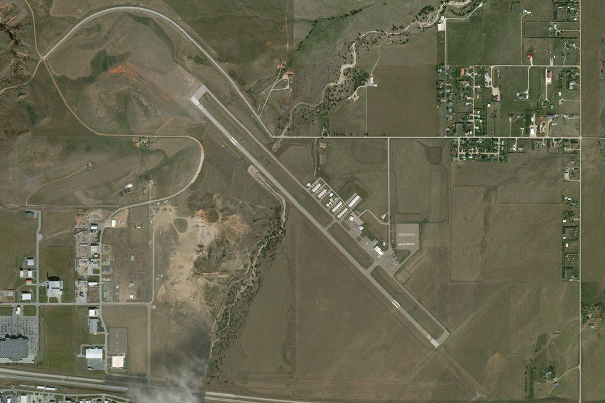
Rapid City(POI27) to KRAP(KRAP)
Distance: 7.53NM Bearing: 100° 4 minutes
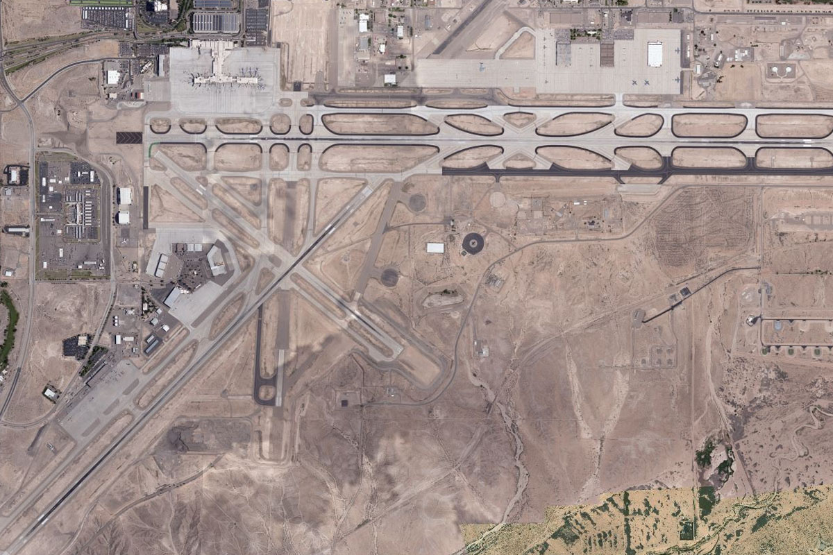
Turn east from Rapid City and you'll soon see the airport a few miles beyond the town's eastern outskirts. Keep an eye out for B-1B Lancers from nearby Ellsworth Air Force Base a few miles north
Leg 8
Flying from KRAP
Leg Distance: 55.55 Approximate time at 125kts: 27 minutes.
KRAP(KRAP) to US-16(POI28)
Distance: 4.73NM Bearing: 264° 2 minutes
Fly west from the airport back towards the southern end of Rapid City and you will see US highway 16 heading southwest towards the hills. Follow the highway
US-16(POI28) to US-16(POI29)
Distance: 14.02NM Bearing: 231° 7 minutes
Follow the highway as it turns into a dual carriageway and heads southwest through the hills
US-16(POI29) to Hill City(POI30)
Distance: 5.79NM Bearing: 267° 3 minutes
After a few miles heading west you will see the highway pass through the town of Hill City, now heading south. Follow the road south
Hill City(POI30) to Crazy Horse Memorial(POI31)
Distance: 7.06NM Bearing: 197° 3 minutes
As the highway curves around a large group of hills, keep an eye out for the Crazy Horse Memorial and Visitor Center to your left. Make a left turn around the monument and head east over the rocky hills
Crazy Horse Memorial(POI31) to Black Elk Wilderness Area(POI32)
Distance: 7.05NM Bearing: 83° 3 minutes
After you cross the rocky, hilly area the land will drop away, turn left and head northeast towards the rocky mountain ahead which is the site of Mount Rushmore
Black Elk Wilderness Area(POI32) to Mount Rushmore(POI33)
Distance: 3.32NM Bearing: 12° 2 minutes
Aim for the large visitor center and car park. From here you will have a great view of Mount Rushmore to your left
Mount Rushmore(POI33) to Keystone(POI34)
Distance: 2.31NM Bearing: 42° 1 minutes
Once you pass the monument, head northwest for a few miles to the town of Keystone
Keystone(POI34) to Custer State Park(POI35)
Distance: 7.35NM Bearing: 170° 4 minutes
After passing Keystone, turn south and head across the hilly terrain. You should cross paths with US164 after a couple of miles as it heads southeast, then again after a few more miles as it loops around the mountains
Custer State Park(POI35) to 3V0(3V0)
Distance: 3.92NM Bearing: 137° 2 minutes
When you see the road for the second time, keep an eye out to the left and you should be lined up for the runway of Custer State Park Airport
Leg 9
Flying from 3V0
Leg Distance: 66.84 Approximate time at 125kts: 32 minutes.
3V0(3V0) to Dry Creek(POI36)
Distance: 10.42NM Bearing: 89° 5 minutes
After takeoff, head east in the direction of a small lake
Dry Creek(POI36) to SD-40(POI37)
Distance: 9.27NM Bearing: 86° 4 minutes
Continue heading east from the lake until you cross paths with state road 40. From here turn to the southeast and head for the Badlands National Park
SD-40(POI37) to Cuny Table(POI38)
Distance: 13.11NM Bearing: 133° 6 minutes
Most of this western section of the badland sits between two grassy plateaus, continue southeast to the large plateau of the other side. Once you're across the plateau, turn to the south
Cuny Table(POI38) to Oglala Lake(POI39)
Distance: 22.25NM Bearing: 173° 11 minutes
Heading south from the plateau, you'll cross over more Badlands territory, the White River, then eventually see Oglala Lake, with US18 running along its north edge. Turn left and follow the road southeast
Oglala Lake(POI39) to US-18(POI40)
Distance: 8.23NM Bearing: 130° 4 minutes
Follow the road southeast towards the town of Pine Ridge
US-18(POI40) to KIEN(KIEN)
Distance: 3.56NM Bearing: 126° 2 minutes
As the road turns south to the town, keep heading southeast and you should see the airport just to the south of the highway
Leg 10
Flying from KIEN
Leg Distance: 29.26 Approximate time at 125kts: 14 minutes.
KIEN(KIEN) to White River(POI41)
Distance: 15.5NM Bearing: 252° 7 minutes
Fly west back past the town, then turn slightly southwest where you will soon meet the White River. Follow it southwest
White River(POI41) to Chadron(POI42)
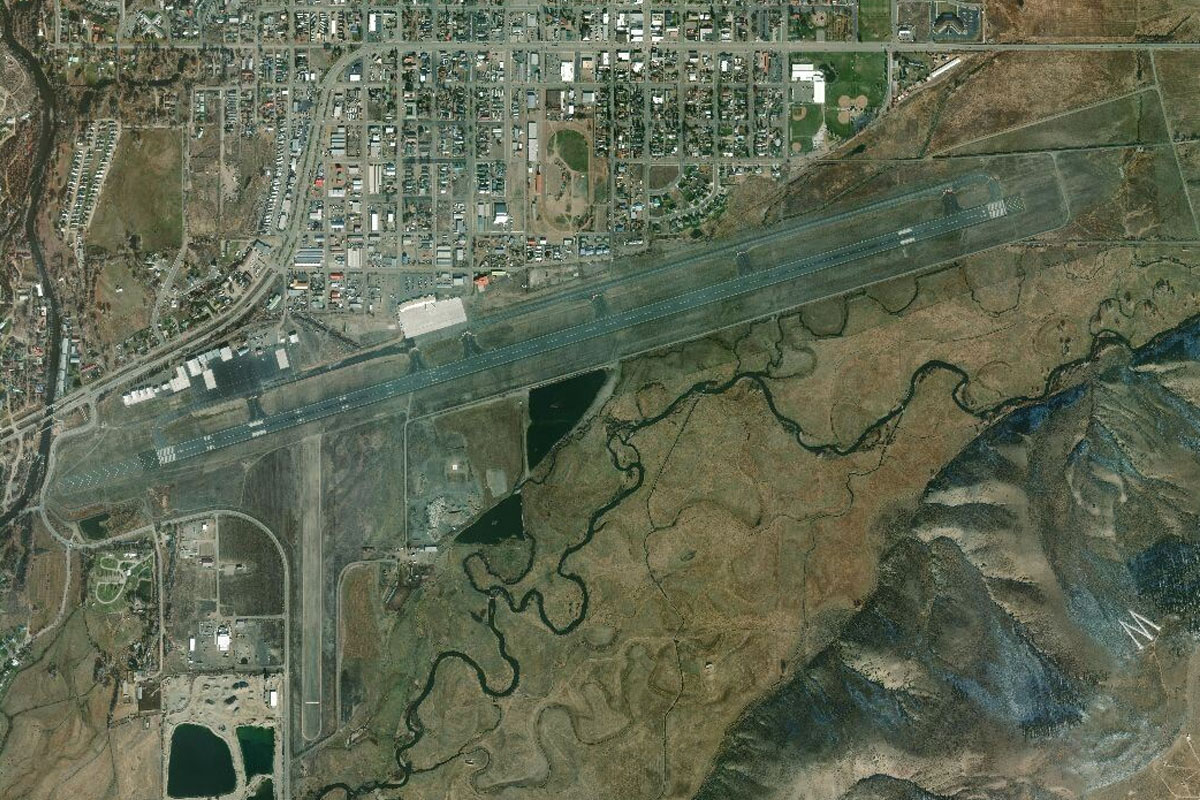
Distance: 9.99NM Bearing: 236° 5 minutes
The river will take you around the northwest side of Chadron and point you to the airport
Chadron(POI42) to KCDR(KCDR)
Distance: 3.77NM Bearing: 202° 2 minutes
The airport sits a few miles west of the town, next to the river
Leg 11
Flying from KCDR
Leg Distance: 49.26 Approximate time at 125kts: 24 minutes.
KCDR(KCDR) to Whitney Lake(POI43)
Distance: 9.75NM Bearing: 245° 5 minutes
Head southwest after takeoff to Whitney Lake, which lies about 10 miles away
Whitney Lake(POI43) to Crawford(POI44)
Distance: 7.78NM Bearing: 211° 4 minutes
Turn slightly left at the lake and head to the town of Crawford. The highway, railway and river all lead towards the town
Crawford(POI44) to White River(POI45)
Distance: 9.11NM Bearing: 233° 4 minutes
Follow the river and highway southwest out of Crawford and stay with the river as the road turns away to the west. When the river also starts to turn to the west, head south
White River(POI45) to Niobrara River(POI46)
Distance: 10.52NM Bearing: 174° 5 minutes
Heading south, you will soon see the Noibrara River running east-west, accompanied by a ribbon of irrigated land. Turn and follow the river west
Niobrara River(POI46) to 11NE(11NE)
Distance: 12.1NM Bearing: 264° 6 minutes
As the river starts turning to the northwest, you should see the large grass strip of Kaan airfield sitting just to the west of the river
Leg 12
Flying from 11NE
Leg Distance: 25.52 Approximate time at 125kts: 12 minutes.
11NE(11NE) to Sheep Creek(POI47)
Distance: 14.27NM Bearing: 202° 7 minutes
Head south/southwest after takeoff in the direction of a group of large pivot (circle) crop fields
Sheep Creek(POI47) to KTOR(KTOR)
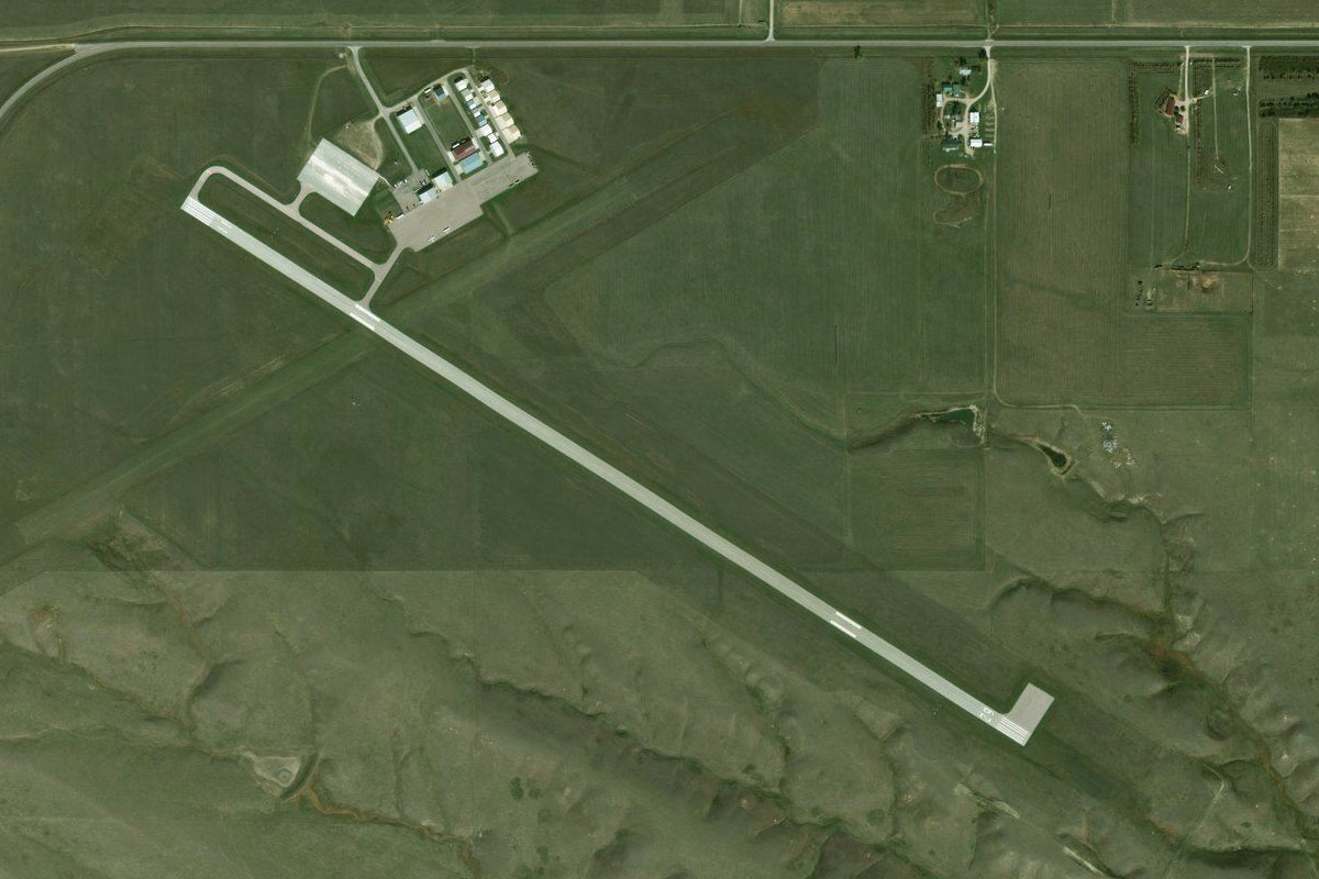
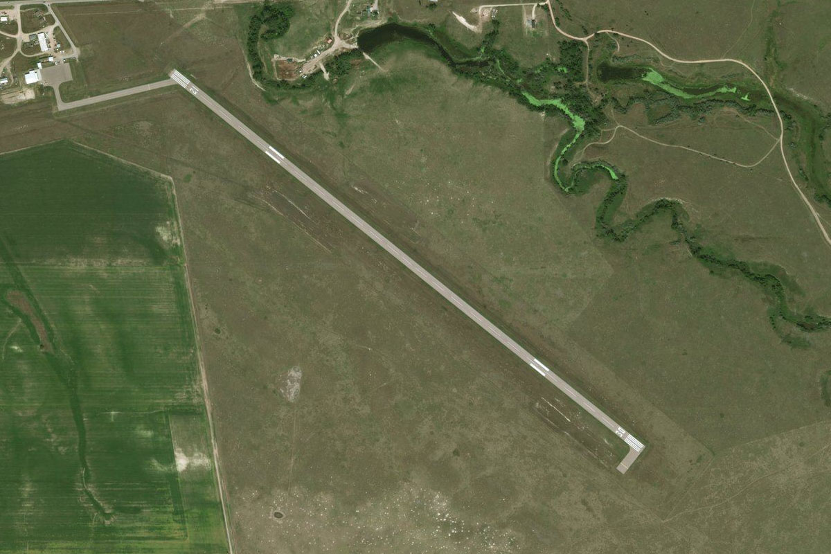
Distance: 11.25NM Bearing: 202° 5 minutes
Continue in the same direction and you will see the town of Torrington ahead. The airport lies at the eastern end of the town
Leg 13
Flying from KTOR
Leg Distance: 61.44 Approximate time at 125kts: 29 minutes.
KTOR(KTOR) to US-85(POI48)
Distance: 9.92NM Bearing: 204° 5 minutes
After takeoff, follow US highway 85, which runs southwest from Torrington
US-85(POI48) to US-85(POI49)
Distance: 29.59NM Bearing: 179° 14 minutes
Stay with the highway as it heads south past a group of lakes before curving around Bear Mountain, then continuing its journey south
US-85(POI49) to US-85(POI50)
Distance: 7.17NM Bearing: 242° 3 minutes
Follow the highway as it turns to the southwest in a straight line. The straight section of road is 16 miles long, but once you're about halfway along (8 miles) turn to the south
US-85(POI50) to Hillsdale(POI51)
Distance: 10.54NM Bearing: 174° 5 minutes
Heading south, you will come to the Union Pacific Railroad running east-west, with a county road running alongside. Turn and follow the railroad west
Hillsdale(POI51) to WY05(WY05)
Distance: 4.22NM Bearing: 264° 2 minutes
As the railway turns away to the left, keep heading west for another mile or so to the airfield
Leg 14
Flying from WY05
Leg Distance: 54.18 Approximate time at 125kts: 26 minutes.
WY05(WY05) to Cheyenne(POI52)
Distance: 11.65NM Bearing: 239° 6 minutes
Follow the railway line southwest to Cheyenne. Head to the downtown area for a closer look
Cheyenne(POI52) to I-25(POI53)
Distance: 24.35NM Bearing: 191° 12 minutes
After passing downtown, follow Interstate Hwy 25 as it heads south
I-25(POI53) to Fort Collins(POI54)
Distance: 10.45NM Bearing: 174° 5 minutes
Continue south along I-25 as it travels past the now disused Downtown Airport and reaches the outskirts of Fort Collins
Fort Collins(POI54) to KFNL(KFNL)
Distance: 7.73NM Bearing: 175° 4 minutes
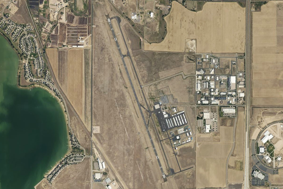
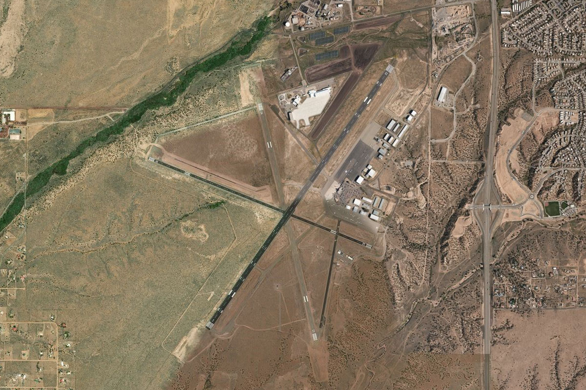
Continue south along the highway to Northern Colorado Regional Airport, which sits between the highway and Boyd Lake
Leg 15
Flying from KFNL
Leg Distance: 44.61 Approximate time at 125kts: 21 minutes.
KFNL(KFNL) to I-25(POI55)
Distance: 6.68NM Bearing: 161° 3 minutes
After takeoff, head back to I-25 and follow it south
I-25(POI55) to E-470 Interchange(POI56)
Distance: 21.69NM Bearing: 173° 10 minutes
Keep following I-25 south until it reaches the large stack interchange with E-470 on the northern outskirts of Denver. Turn left and follow E-470 east
E-470 Interchange(POI56) to KDEN(KDEN)
Distance: 16.24NM Bearing: 109° 8 minutes
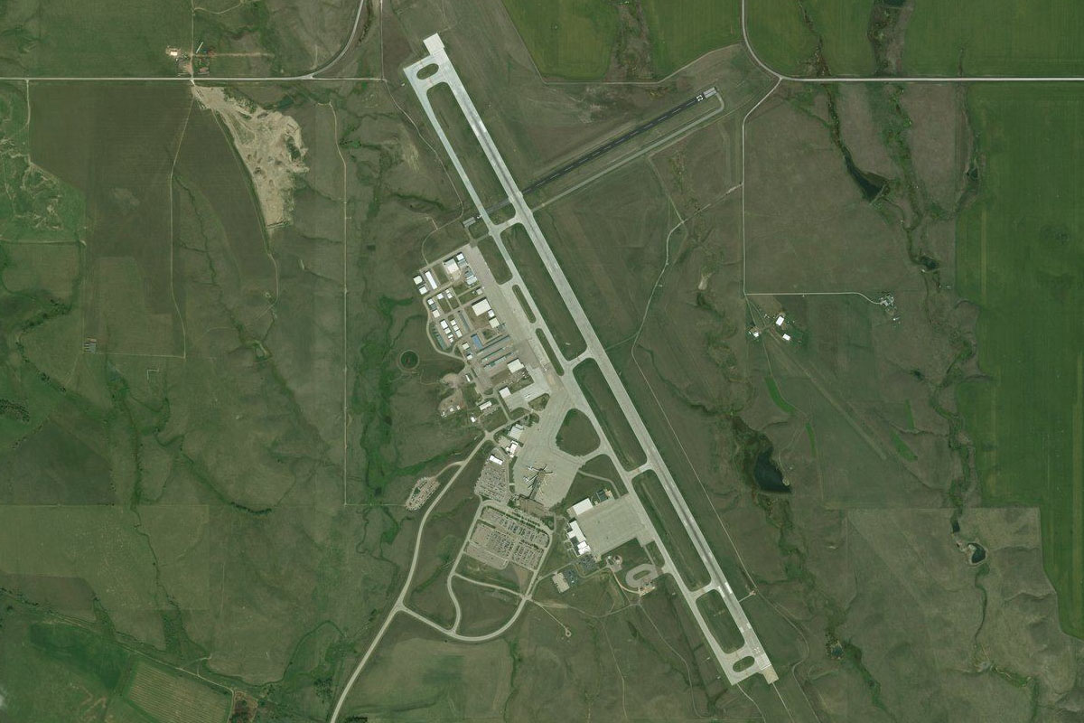
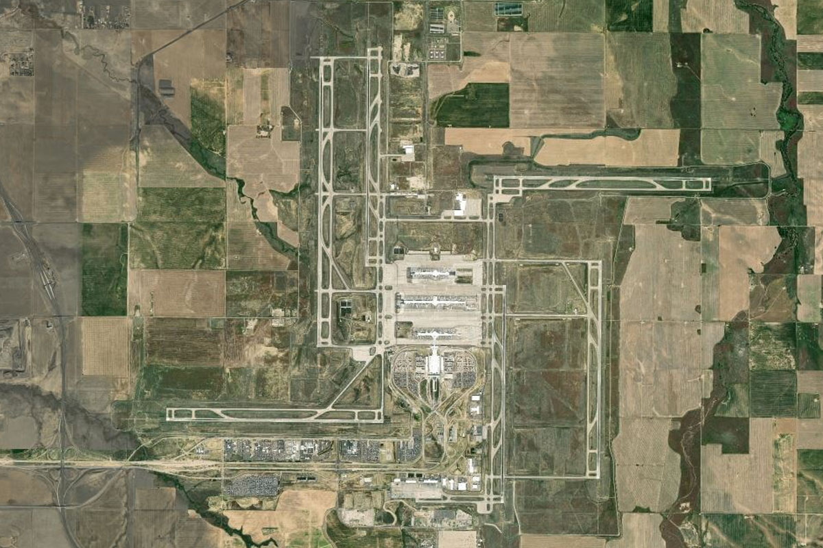
E-470 will gradually turn southeast and point you in the direction of Denver International Airport, which is the largest airport by land area in the USA
Leg 16
Flying from KDEN
Leg Distance: 31.28 Approximate time at 125kts: 15 minutes.
KDEN(KDEN) to Denver(POI57)
Distance: 15.51NM Bearing: 242° 7 minutes
Head west after takeoff, then turn southwest towards downtown Denver when you see the buildings. Aim for the baseball stadium on the north side of town
Denver(POI57) to Elitch Gardens(POI58)
Distance: 1.72NM Bearing: 221° 1 minutes
Continue southwest towards the football stadium, passing the basketball arena and water park. You'll have a great view of downtown to your left
Elitch Gardens(POI58) to I-25(POI59)
Distance: 2.81NM Bearing: 155° 1 minutes
Turn south just before the football stadium and follow I-25
I-25(POI59) to I-25(POI60)
Distance: 3.17NM Bearing: 110° 2 minutes
Keep following the highway as it gradually curves around to the east
I-25(POI60) to Centennial(POI61)
Distance: 6.74NM Bearing: 148° 3 minutes
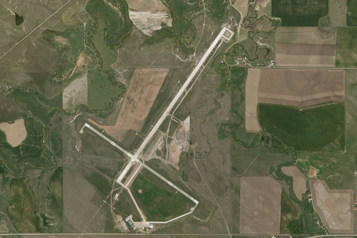
The highway will turn to the southeast and cut a straight line all the way to Centennial
Centennial(POI61) to KAPA(KAPA)
Distance: 1.33NM Bearing: 102° 1 minutes
Once the road curves back to the south, you should see the airport a mile east off the road
Leg 17
Flying from KAPA
Leg Distance: 47.75 Approximate time at 125kts: 23 minutes.
KAPA(KAPA) to Castle Rock(POI62)
Distance: 10.32NM Bearing: 175° 5 minutes
Head south from Centennial, passing Reuter-Hess Reservoir, and meeting back up with I-25 near the town of Castle Rock
Castle Rock(POI62) to Hunt Mountain(POI63)
Distance: 7.94NM Bearing: 185° 4 minutes
Keep following the highway as it makes its way south
Hunt Mountain(POI63) to Monument(POI64)
Distance: 10.82NM Bearing: 164° 5 minutes
The highway will wind its way between the hills on the way to the town of Monument
Monument(POI64) to Austin Bluffs(POI65)
Distance: 12.59NM Bearing: 152° 6 minutes
The highway will lead you past the USAF Academy Airfield before turning south to Colorado Springs. When it turns, keep heading straight for the left side of the hilly areas ahead
Austin Bluffs(POI65) to KCOS(KCOS)
Distance: 6.08NM Bearing: 143° 3 minutes
Once you pass the last group of hills, called Palmer Park, continue southeast to the airport ahead
Leg 18
Flying from KCOS
Leg Distance: 50.58 Approximate time at 125kts: 24 minutes.
KCOS(KCOS) to Colorado Springs(POI66)
Distance: 6.33NM Bearing: 274° 3 minutes
Head west after takeoff, in the direction of the tallest mountain ahead, Pikes Peak. You should soon come across the interstate turning from west to north around the city, and where it passes the power station it intersects with another highway heading northwest into the mountains
Colorado Springs(POI66) to Manitou Springs(POI67)
Distance: 4.32NM Bearing: 289° 2 minutes
Follow US highway 24 northwest into the mountains as you gain altitude
Manitou Springs(POI67) to Pikes Peak(POI68)
Distance: 7.25NM Bearing: 278° 3 minutes
As the road leaves the town of Manitou Springs and into the wilderness, turn west and climb over the ridge on the northern side of Pikes Peak
Pikes Peak(POI68) to Mount Pisgah(POI69)
Distance: 10.79NM Bearing: 213° 5 minutes
As you cross the ridge to the north of Pikes Peak, you should have a great view of the peak and the famous road leading to it – the Pikes Peak Hillclimb. After the land drops away, turn southwest and head for the lone peak of Mount Pisgah ahead
Mount Pisgah(POI69) to Canon City(POI70)
Distance: 15.63NM Bearing: 171° 8 minutes
From Mount Pisgah, turn south and head down into the valley towards the town of Canon City
Canon City(POI70) to 1V6(1V6)
Distance: 6.26NM Bearing: 123° 3 minutes
Once you are over flat land at the south end of the valley, turn to the southeast and head straight for Fremont County Airport
Leg 19
Flying from 1V6
Leg Distance: 51.47 Approximate time at 125kts: 25 minutes.
1V6(1V6) to Arkansas River(POI71)
Distance: 6.99NM Bearing: 266° 3 minutes
Head west from the airport, past the town of Canon City, and towards the gorge
Arkansas River(POI71) to Royal Gorge(POI72)
Distance: 0.83NM Bearing: 252° 0 minutes
Follow the Arkansas River and railway west into Royal Gorge
Royal Gorge(POI72) to Royal Gorge(POI73)
Distance: 2.26NM Bearing: 304° 1 minutes
Follow the gorge northwest
Royal Gorge(POI73) to Parkdale Quarry(POI74)
Distance: 4.33NM Bearing: 288° 2 minutes
Continue along the gorge, passing the Royal Gorge Bridge along the way, before emerging from the gorge near Parkdale
Parkdale Quarry(POI74) to Arkansas River(POI75)
Distance: 5.99NM Bearing: 244° 3 minutes
Follow the river and railway line southwest into another gorge, this time joined by US highway 50
Arkansas River(POI75) to Coaldale(POI76)
Distance: 12.25NM Bearing: 233° 6 minutes
Continue along the river as it cuts its way southwest. Eventually the land will open out into a valley where the river, road and rail will all lead the way northwest
Coaldale(POI76) to Howard(POI77)
Distance: 8.03NM Bearing: 313° 4 minutes
Keep following the river northwest along the valley
Howard(POI77) to Salida(POI78)
Distance: 8.21NM Bearing: 293° 4 minutes
The river will wind its way through some more mountains before passing the town of Salida
Salida(POI78) to KANK(KANK)
Distance: 2.58NM Bearing: 273° 1 minutes
The airport sits a couple of miles west of the town
Leg 20
Flying from KANK
Leg Distance: 65.77 Approximate time at 125kts: 32 minutes.
KANK(KANK) to Central Colorado Regl(POI79)
Distance: 16.82NM Bearing: 341° 8 minutes
Continue north after takeoff, following the highway. Once you reach Central Colorado Regional Airport (KAEJ), turn west towards the mountains
Central Colorado Regl(POI79) to Cottonwood Creek(POI80)
Distance: 5.14NM Bearing: 261° 2 minutes
You should see a road and creek heading towards a valley, which is your entrance into the mountains
Cottonwood Creek(POI80) to Turner Peak(POI81)
Distance: 7.6NM Bearing: 260° 4 minutes
Once you enter the valley it will split in two, take the right fork and follow the road through the valley, climbing as you go
Turner Peak(POI81) to Taylor Park Reservoir(POI82)
Distance: 8.66NM Bearing: 285° 4 minutes
At the end of the valley the road will turn north over a mountain pass, then drop away and lead to the Taylor Park reservoir. Head for the reservoir's northern end
Taylor Park Reservoir(POI82) to Taylor River(POI83)
Distance: 6.4NM Bearing: 323° 3 minutes
From the reservoir, follow the Taylor river and the road northwest
Taylor River(POI83) to Taylor River(POI84)
Distance: 4.8NM Bearing: 294° 2 minutes
Stay with the road and river as they turn slightly left and then along a crescent shaped valley
Taylor River(POI84) to Ashcroft Mountain(POI85)
Distance: 5.14NM Bearing: 299° 2 minutes
Where the valley divides and the road takes the left fork, continue northwest and over the higher land ahead to the next valley
Ashcroft Mountain(POI85) to Castle Creek(POI86)
Distance: 5.05NM Bearing: 327° 2 minutes
Follow the valley as it heads northwest towards Aspen
Castle Creek(POI86) to Aspen(POI87)
Distance: 4.02NM Bearing: 355° 2 minutes
The valley will turn north and open out to the world famous ski resort town of Aspen
Aspen(POI87) to KASE(KASE)
Distance: 2.14NM Bearing: 313° 1 minutes
The airport lies just a couple of miles northwest of the town
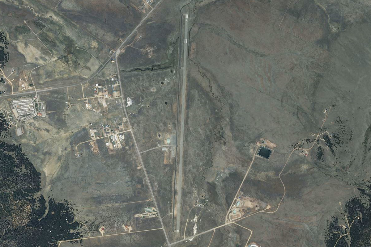
Leg 21
Flying from KASE
Leg Distance: 62.21 Approximate time at 125kts: 30 minutes.
KASE(KASE) to Roaring Fork River(POI88)
Distance: 3.56NM Bearing: 333° 2 minutes
Head northwest after takeoff and follow the Roaring Fork River and the highway into the valley
Roaring Fork River(POI88) to Roaring Fork River(POI89)
Distance: 12.5NM Bearing: 298° 6 minutes
Continue northwest along the river valley
Roaring Fork River(POI89) to Carbondale(POI90)
Distance: 3.6NM Bearing: 262° 2 minutes
Approaching the town of Carbondale, the highway will turn west and meet state road 133, which heads south through the town and into another valley along with the Crystal River. Turn south and follow them
Carbondale(POI90) to McClure Pass(POI91)
Distance: 17.71NM Bearing: 184° 9 minutes
Follow the road and river south through the valley. At the point where the road climbs the McClure Pass and heads west, keep following the valley around to the southeast
McClure Pass(POI91) to Crystal River(POI92)
Distance: 3.48NM Bearing: 129° 2 minutes
Continue southeast along the Crystal River valley
Crystal River(POI92) to Hat Mountain(POI93)
Distance: 3.12NM Bearing: 86° 1 minutes
The river will turn to the east and pass the town of Marble, and Beaver Lake behind it. Follow the Crystal River as it heads into the valley ahead, whose entrance is partially hidden by Hat Mountain
Hat Mountain(POI93) to Crystal River(POI94)
Distance: 1.49NM Bearing: 116° 1 minutes
Follow the river valley as it turns to the southeast
Crystal River(POI94) to Crystal(POI95)
Distance: 1.25NM Bearing: 68° 1 minutes
The river will turn back to the northeast and meet a valley junction at the small town of Crystal. Turn right and follow the valley to the southeast
Crystal(POI95) to South Fork Crystal River(POI96)
Distance: 1.49NM Bearing: 113° 1 minutes
Follow the river valley southeast
South Fork Crystal River(POI96) to Schofield Pass(POI97)
Distance: 2.36NM Bearing: 139° 1 minutes
The valley will climb as it heads southeast and will be met by two other valleys coming in from both sides. Continue southeast over the small mountain pass, and into the next valley
Schofield Pass(POI97) to East River(POI98)
Distance: 2.66NM Bearing: 124° 1 minutes
After flying over Emerald Lake just after the mountain pass, you'll descend into another valley and follow the east river as it heads southeast
East River(POI98) to Snodgrass Mountain(POI99)
Distance: 2.99NM Bearing: 144° 1 minutes
Continue southeast along the river, past the peaks of Gothic Mountain and Snodgrass Mountain to your right
Snodgrass Mountain(POI99) to Crested Butte(POIA0)
Distance: 3.78NM Bearing: 165° 2 minutes
After Snodgrass Mountain, Crested Butte will be the next mountain on your right, with ski runs covering the mountain and a large ski resort at its base. Turn south over the resort towards the town of Crested Butte
Crested Butte(POIA0) to 0CO2(0CO2)
Distance: 2.22NM Bearing: 122° 1 minutes
Turning left around the base of the mountain, you should see the airport a couple of miles southeast of the town
Leg 22
Flying from 0CO2
Leg Distance: 21.07 Approximate time at 125kts: 10 minutes.
0CO2(0CO2) to East River(POIA1)
Distance: 4.38NM Bearing: 136° 2 minutes
After takeoff, head southeast along the East River, which will be joined by state road 135
East River(POIA1) to East River(POIA2)
Distance: 7.74NM Bearing: 162° 4 minutes
Continue along the river/road
East River(POIA2) to KGUC(KGUC)
Distance: 8.95NM Bearing: 199° 4 minutes
The river and road will turn to the southwest and into the town of Gunnison, The airport is on the town's southern edge
Leg 23
Flying from KGUC
Leg Distance: 49.9 Approximate time at 125kts: 24 minutes.
KGUC(KGUC) to Cochetopa Creek(POIA3)
Distance: 9.7NM Bearing: 113° 5 minutes
Head southeast after takeoff. After crossing some forested hills you will meet Cochetopa Creek heading south along with state highway 114. Follow them south
Cochetopa Creek(POIA3) to Cochetopa Creek(POIA4)
Distance: 5.81NM Bearing: 182° 3 minutes
Keep following the creek and highway south
Cochetopa Creek(POIA4) to Razor Creek Dome(POIA5)
Distance: 4.93NM Bearing: 152° 2 minutes
Keep following the creek and road southeast
Razor Creek Dome(POIA5) to Cochetopa Dome(POIA6)
Distance: 6.65NM Bearing: 111° 3 minutes
At the small canyon's end, the road will turn more to the east and lead you past the north side of Cochetopa Dome
Cochetopa Dome(POIA6) to CO-114(POIA7)
Distance: 16.06NM Bearing: 94° 8 minutes
Follow the road as it heads east across the hills
CO-114(POIA7) to 04V(04V)
Distance: 6.75NM Bearing: 117° 3 minutes
As the road exits the hills, it will lead you to Saguache Airport, just before the town
Leg 24
Flying from 04V
Leg Distance: 62.55 Approximate time at 125kts: 30 minutes.
04V(04V) to Sangre De Cristo Mountains(POIA8)
Distance: 23.17NM Bearing: 100° 11 minutes
After takeoff, head east towards the Sangre De Cristo Mountains range
Sangre De Cristo Mountains(POIA8) to Great Sand Dunes(POIA9)
Distance: 14.25NM Bearing: 142° 7 minutes
When you near the mountains, turn southeast and fly along their western edge. You'll soon arrive at the Great Sand Dunes National Park
Great Sand Dunes(POIA9) to KALS(KALS)
Distance: 25.13NM Bearing: 208° 12 minutes
From the sand dunes, turn to the southwest and head for the town of Alamosa. The airport is just to the south of the town
Leg 25
Flying from KALS
Leg Distance: 61.58 Approximate time at 125kts: 30 minutes.
KALS(KALS) to Rio Grande(POIAA)
Distance: 11.53NM Bearing: 137° 6 minutes
Fly southeast from Alamosa until you reach the Rio Grande river heading south, then follow it
Rio Grande(POIAA) to Ute Mountain(POIAB)
Distance: 20.64NM Bearing: 173° 10 minutes
Follow the Rio Grande as it journeys south, passing the extinct volcano of Ute Mountain
Ute Mountain(POIAB) to Rio Grande(POIAC)
Distance: 24.91NM Bearing: 170° 12 minutes
The river will continue south, cutting its way through the landscape
Rio Grande(POIAC) to KSKX(KSKX)
Distance: 4.5NM Bearing: 145° 2 minutes
Keep an eye out for Taos Regional Airport, sitting a couple of miles east of the river
Leg 26
Flying from KSKX
Leg Distance: 18.57 Approximate time at 125kts: 9 minutes.
KSKX(KSKX) to Sangre De Cristo Mountains(POIAD)
Distance: 13.33NM Bearing: 88° 6 minutes
After takeoff, head east over the Sangre De Cristo Mountains
Sangre De Cristo Mountains(POIAD) to KAXX(KAXX)
Distance: 5.24NM Bearing: 87° 3 minutes
On the other side of the range you will see the long runway of Angel Fire in the middle of the valley
Leg 27
Flying from KAXX
Leg Distance: 42.46 Approximate time at 125kts: 20 minutes.
KAXX(KAXX) to Eagle Nest Lake(POIAE)
Distance: 6.84NM Bearing: 9° 3 minutes
Head north after takeoff towards Eagle Nest Lake
Eagle Nest Lake(POIAE) to Cimarron River(POIAF)
Distance: 9.58NM Bearing: 71° 5 minutes
Near the north end of the lake, the Cimarron River and US highway 64 will lead you east through a valley
Cimarron River(POIAF) to Cimarron(POIAG)
Distance: 7.73NM Bearing: 111° 4 minutes
Follow the highway as it leads southeast past the town of Cimarron
Cimarron(POIAG) to Cimarron River(POIAH)
Distance: 7.21NM Bearing: 100° 3 minutes
After the town, leave the road and follow the river east
Cimarron River(POIAH) to Cimarron River(POIAI)
Distance: 6.46NM Bearing: 131° 3 minutes
Stay with the river as it heads southeast
Cimarron River(POIAI) to S42(S42)
Distance: 4.64NM Bearing: 130° 2 minutes
As the river turns towards the town of Springer, head for the airport which lies a couple of miles south of the town, at the side of Interstate 25
Leg 28
Flying from S42
Leg Distance: 49.94 Approximate time at 125kts: 24 minutes.
S42(S42) to I-25(POIAJ)
Distance: 18.88NM Bearing: 185° 9 minutes
Head south after takeoff, following I-25
I-25(POIAJ) to I-25(POIAK)
Distance: 27.23NM Bearing: 218° 13 minutes
Keep following the interstate as it heads southwest
I-25(POIAK) to KLVS(KLVS)
Distance: 3.83NM Bearing: 213° 2 minutes
Just before the town of Las Vegas, the airport will be sitting a couple of miles south of the highway
Leg 29
Flying from KLVS
Leg Distance: 48.63 Approximate time at 125kts: 23 minutes.
KLVS(KLVS) to NM-65(POIAL)
Distance: 9.44NM Bearing: 264° 5 minutes
Head west after takeoff, over Storrie Lake and follow State Road 65 and Gallinas Creek into the mountains
NM-65(POIAL) to Gallinas(POIAM)
Distance: 2.16NM Bearing: 318° 1 minutes
Stay with the road and creek as they turn northwest
Gallinas(POIAM) to Gallinas Creek(POIAN)
Distance: 5.42NM Bearing: 280° 3 minutes
The creek and road will turn west and continue to climb
Gallinas Creek(POIAN) to Santa Fe(POIAO)
Distance: 22.92NM Bearing: 259° 11 minutes
When you have enough altitude, head west across the mountains. Aim for the lower point to cross which should lead you to Santa Fe
Santa Fe(POIAO) to KSAF(KSAF)
Distance: 8.69NM Bearing: 232° 4 minutes
Once over the mountains, turn southwest and descend over the city. The airport is at its southwestern edge
Leg 30
Flying from KSAF
Leg Distance: 45.58 Approximate time at 125kts: 22 minutes.
KSAF(KSAF) to I-25(POIAP)
Distance: 7.84NM Bearing: 216° 4 minutes
Head south after takeoff and meet up with I-25 heading southwest
I-25(POIAP) to Bernalillo(POIAQ)
Distance: 20.58NM Bearing: 226° 10 minutes
Continue along I-25 southwest
Bernalillo(POIAQ) to KABQ(KABQ)
Distance: 17.16NM Bearing: 184° 8 minutes
Follow I-25 through the city to the airport on the southern side of town, just east of the highway