
Stage 25 moves from the capital Santiago in central Chile, through its agricultural heartland to the coastal city of Concepcion. Moving into the southern half of Chile, you’ll travel through some of the country’s most stunning scenery, full of awe-inspiring volcanic peaks and beautiful lakes. The last part of the stage heads across the Gulf of Ancud to Chiloe Island and the final destination for this stage, Quellon.
Total Legs: 21 Total Distance: 928 Total Time(125kts): 7 hours 25 minutes
Leg 1
Flying from SCTB
Leg Distance: 46.56 Approximate time at 125kts: 22 minutes.
SCTB(SCTB) to Buin(POI1)
Distance: 15.53NM Bearing: 214° 7 minutes
After takeoff, head southwest to the southern outskirts of Santiago
Buin(POI1) to Carro Challay(POI2)
Distance: 14.9NM Bearing: 180° 7 minutes
Head south following the highway along the valley
Carro Challay(POI2) to Rancagua(POI3)
Distance: 12.63NM Bearing: 181° 6 minutes
Continue south along the valley as the highway leads to the city of Rancagua
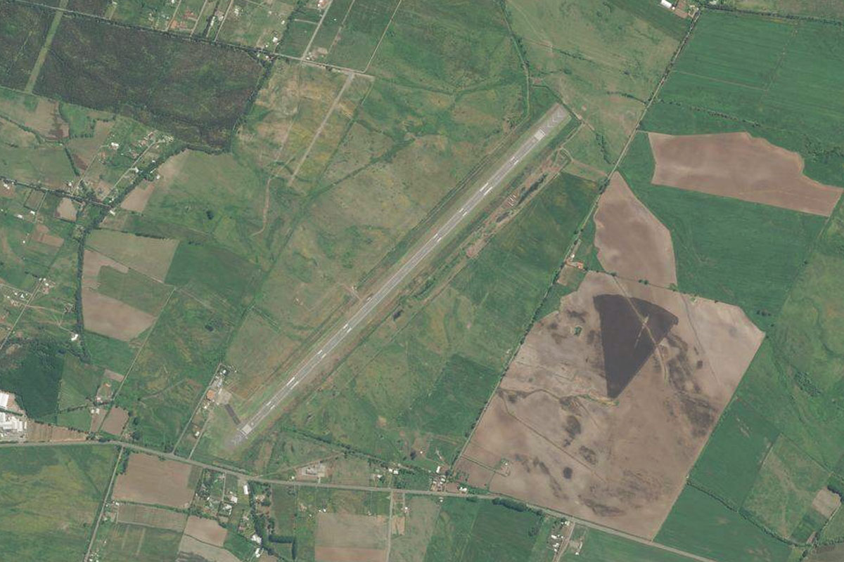
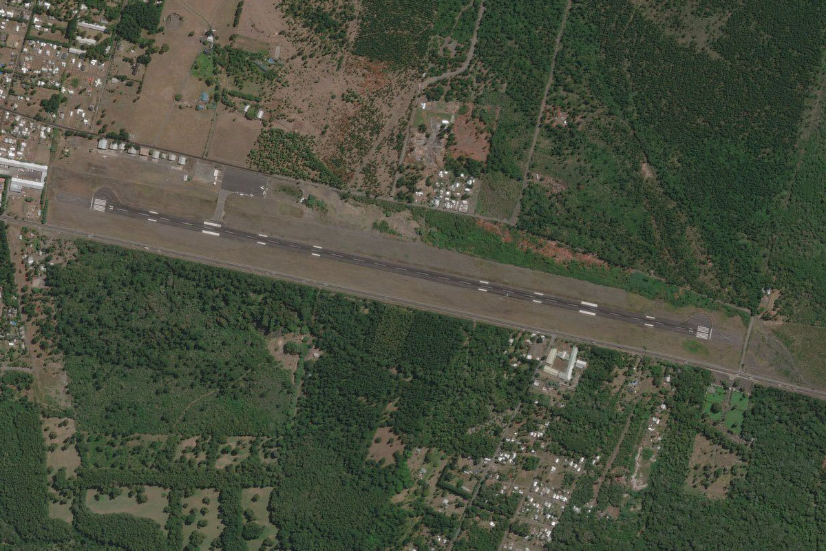
Rancagua(POI3) to SCRG(SCRG)
Distance: 3.5NM Bearing: 220° 2 minutes
The airport is on the western side of town
Leg 2
Flying from SCRG
Leg Distance: 52.68 Approximate time at 125kts: 25 minutes.
SCRG(SCRG) to Rengo(POI4)
Distance: 13.88NM Bearing: 197° 7 minutes
Continue south, following the highway to the town of Rengo
Rengo(POI4) to Embalse Convento Viejo(POI5)
Distance: 26.1NM Bearing: 202° 13 minutes
Keep following the highway south as it passes to the east of a reservoir
Embalse Convento Viejo(POI5) to SCIC(SCIC)
Distance: 12.7NM Bearing: 213° 6 minutes
Stay with the highway as it heads southwest across the river to the city of Curico. The airport is just west of the highway in the northern half of the city
Leg 3
Flying from SCIC
Leg Distance: 26.82 Approximate time at 125kts: 13 minutes.
SCIC(SCIC) to Rio Mataquito(POI6)
Distance: 8.64NM Bearing: 262° 4 minutes
After takeoff, head west to the Mataquito River, then follow it southwest
Rio Mataquito(POI6) to La Huerta(POI7)
Distance: 13.96NM Bearing: 240° 7 minutes
Follow the river southwest until you come to the small town of Villa Prat, which sits at the base of a large hill on the south side of the river
La Huerta(POI7) to SCED(SCED)
Distance: 4.22NM Bearing: 152° 2 minutes
Turn southeast and head along the valley to the small airport next to the road
Leg 4
Flying from SCED
Leg Distance: 39.87 Approximate time at 125kts: 19 minutes.
SCED(SCED) to Talca(POI8)
Distance: 16.23NM Bearing: 184° 8 minutes
After takeoff, head south over the hills to the city of Talca
Talca(POI8) to San Clemente(POI9)
Distance: 10.21NM Bearing: 129° 5 minutes
From Talca head southeast and follow the highway to the next town of San Clemente
San Clemente(POI9) to 115 CH(POI10)
Distance: 7.97NM Bearing: 104° 4 minutes
Follow the highway east to the northern end of the group of hills ahead
115 CH(POI10) to SCSK(SCSK)
Distance: 5.46NM Bearing: 167° 3 minutes
Turn south and fly alongside the eastern edge of the hills to the small airstrip just before the lake
Leg 5
Flying from SCSK
Leg Distance: 66.94 Approximate time at 125kts: 32 minutes.
SCSK(SCSK) to Lago Machicura(POI11)
Distance: 5.44NM Bearing: 230° 3 minutes
After takeoff, head southwest over the hills to the next lake
Lago Machicura(POI11) to Linares(POI12)
Distance: 12.11NM Bearing: 226° 6 minutes
Continue southwest to the town of Linares
Linares(POI12) to Ruta 5(POI13)
Distance: 20.86NM Bearing: 210° 10 minutes
Head southwest from Linares along with the major highway, Route 5 as it heads to the town of Parral
Ruta 5(POI13) to San Carlos(POI14)
Distance: 18.98NM Bearing: 199° 9 minutes
Continue south with the highway to the next major town, San Carlos
San Carlos(POI14) to SCCH(SCCH)
Distance: 9.55NM Bearing: 197° 5 minutes
From San Carlos, follow the highway for a couple more miles before turning south across the river to O'Higgins Airport
Leg 6
Flying from SCCH
Leg Distance: 51.23 Approximate time at 125kts: 25 minutes.
SCCH(SCCH) to Chillan(POI15)
Distance: 4.25NM Bearing: 239° 2 minutes
After takeoff, head southwest over the city
Chillan(POI15) to Ruta 5(POI16)
Distance: 6.34NM Bearing: 244° 3 minutes
Follow the highway southwest from the city to its interchange with highway 152 which heads west to Concepcion
Ruta 5(POI16) to Concepcion(POI17)
Distance: 36.98NM Bearing: 257° 18 minutes
Follow the highway as it heads west to the coastal city of Concepción, one of Chile's major cities
Concepcion(POI17) to SCIE(SCIE)
Distance: 3.66NM Bearing: 245° 2 minutes
The international airport lies just north of the city

Leg 7
Flying from SCIE
Leg Distance: 36.64 Approximate time at 125kts: 18 minutes.
SCIE(SCIE) to Peninsula Tumbes(POI18)
Distance: 6.7NM Bearing: 321° 3 minutes
After takeoff, head northwest over the Tumbes Peninsula
Peninsula Tumbes(POI18) to Peninsula Hualpen(POI19)
Distance: 7.17NM Bearing: 207° 3 minutes
Turn southwest and head across the bay to the Hualpen Peninsula which is also nature sanctuary
Peninsula Hualpen(POI19) to Rio Biobio(POI20)
Distance: 7.09NM Bearing: 104° 3 minutes
Round the peninsula then follow the mouth of the Biobío River towards the city
Rio Biobio(POI20) to Rio Biobio(POI21)
Distance: 9.83NM Bearing: 154° 5 minutes
Follow the river southeast past the city of Chiguayante
Rio Biobio(POI21) to Rio Biobio(POI22)
Distance: 2.72NM Bearing: 97° 1 minutes
The river will turn east towards the town of Hualqui
Rio Biobio(POI22) to SCDK(SCDK)
Distance: 3.13NM Bearing: 205° 2 minutes
Follow the river's U-turn back to the west, then as it turn south head to the dirt airstrip on the western river bank
Leg 8
Flying from SCDK
Leg Distance: 62.55 Approximate time at 125kts: 30 minutes.
SCDK(SCDK) to Santa Juana(POI23)
Distance: 8.87NM Bearing: 160° 4 minutes
After takeoff, continue south along the Biobío River
Santa Juana(POI23) to San Rosendo(POI24)
Distance: 11.55NM Bearing: 117° 6 minutes
Follow the river as it turns southeast. After a series of turns, it will meet the Laja River at the towns of San Rosendo and Laja
San Rosendo(POI24) to Rio Laja(POI25)
Distance: 6.3NM Bearing: 62° 3 minutes
Follow the Laja River northeast
Rio Laja(POI25) to Rio Laja(POI26)
Distance: 10.47NM Bearing: 83° 5 minutes
Keep following the Laja River east. It will gradually become smaller as it crosses under the Panamericana Highway
Rio Laja(POI26) to Cholguan(POI27)
Distance: 14NM Bearing: 77° 7 minutes
Keep following the river east as it narrows in size
Cholguan(POI27) to Huepil(POI28)
Distance: 8.12NM Bearing: 110° 4 minutes
As the river turns southeast, it will point you towards the town of Huepil, and the Sierra Velluda Volcano in the distance. Head for the town
Huepil(POI28) to SCHE(SCHE)
Distance: 3.24NM Bearing: 40° 2 minutes
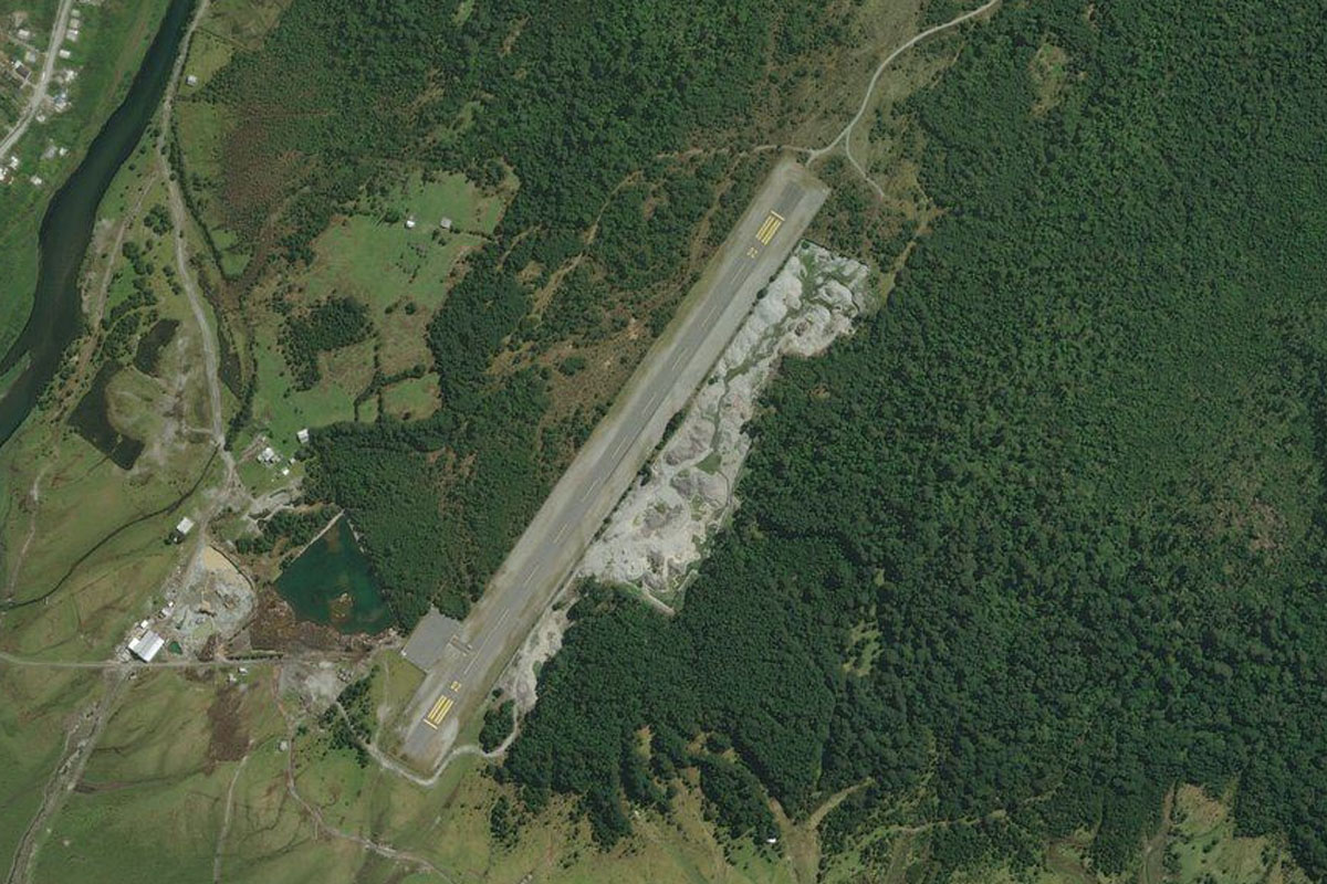
From Huepil, turn northeast towards a small lake. You should see the grass airstrip just before the lake

Leg 9
Flying from SCHE
Leg Distance: 60.39 Approximate time at 125kts: 29 minutes.
SCHE(SCHE) to Rio Laja(POI29)
Distance: 10.32NM Bearing: 129° 5 minutes
Head southwest after takeoff and follow the flat valley heading east
Rio Laja(POI29) to Volcan Antuco(POI30)
Distance: 20.98NM Bearing: 97° 10 minutes
Follow the river east as the valley narrows past the dark ash-colored Antuco Volcano
Volcan Antuco(POI30) to Laguna de la Laja(POI31)
Distance: 4.04NM Bearing: 143° 2 minutes
Turn southeast around the base of the volcano and follow the 2 streams leading away from the lake
Laguna de la Laja(POI31) to Rio Duqueco(POI32)
Distance: 11.65NM Bearing: 228° 6 minutes
As the two rivers turn south and diverge, turn southwest and fly over the mountain into the river valley on the other side
Rio Duqueco(POI32) to Rio Duqueco(POI33)
Distance: 11.17NM Bearing: 271° 5 minutes
Follow the river valley west
Rio Duqueco(POI33) to SCDQ(SCDQ)
Distance: 2.23NM Bearing: 295° 1 minutes
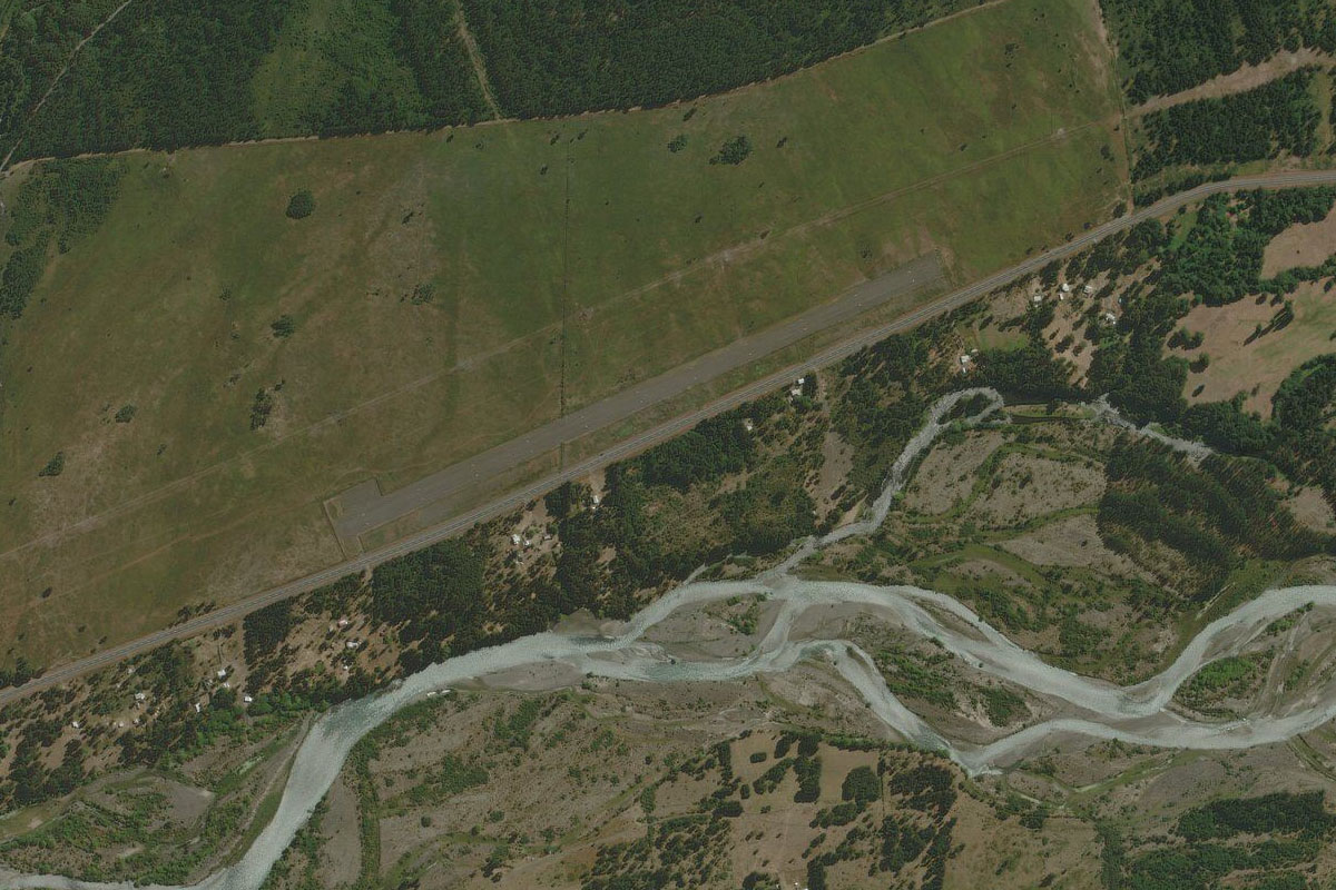
As the mountains start to flatten out, you should see the small airstrip next to the river

Leg 10
Flying from SCDQ
Leg Distance: 51.19 Approximate time at 125kts: 25 minutes.
SCDQ(SCDQ) to Rio Duqueco(POI34)
Distance: 5.06NM Bearing: 278° 2 minutes
After takeoff, head west out of the mountains
Rio Duqueco(POI34) to Embalse Angostura(POI35)
Distance: 11.99NM Bearing: 176° 6 minutes
Head south until you reach the Angostura Reservoir
Embalse Angostura(POI35) to Volcan Callaqui(POI36)
Distance: 18.3NM Bearing: 135° 9 minutes
Follow the reservoir and then the Biobío river southeast
Volcan Callaqui(POI36) to Embalse Ralco(POI37)
Distance: 11.21NM Bearing: 136° 5 minutes
The river will pass by the Callaqui Volcano then continue southeast to another reservoir
Embalse Ralco(POI37) to SCCU(SCCU)
Distance: 4.63NM Bearing: 179° 2 minutes
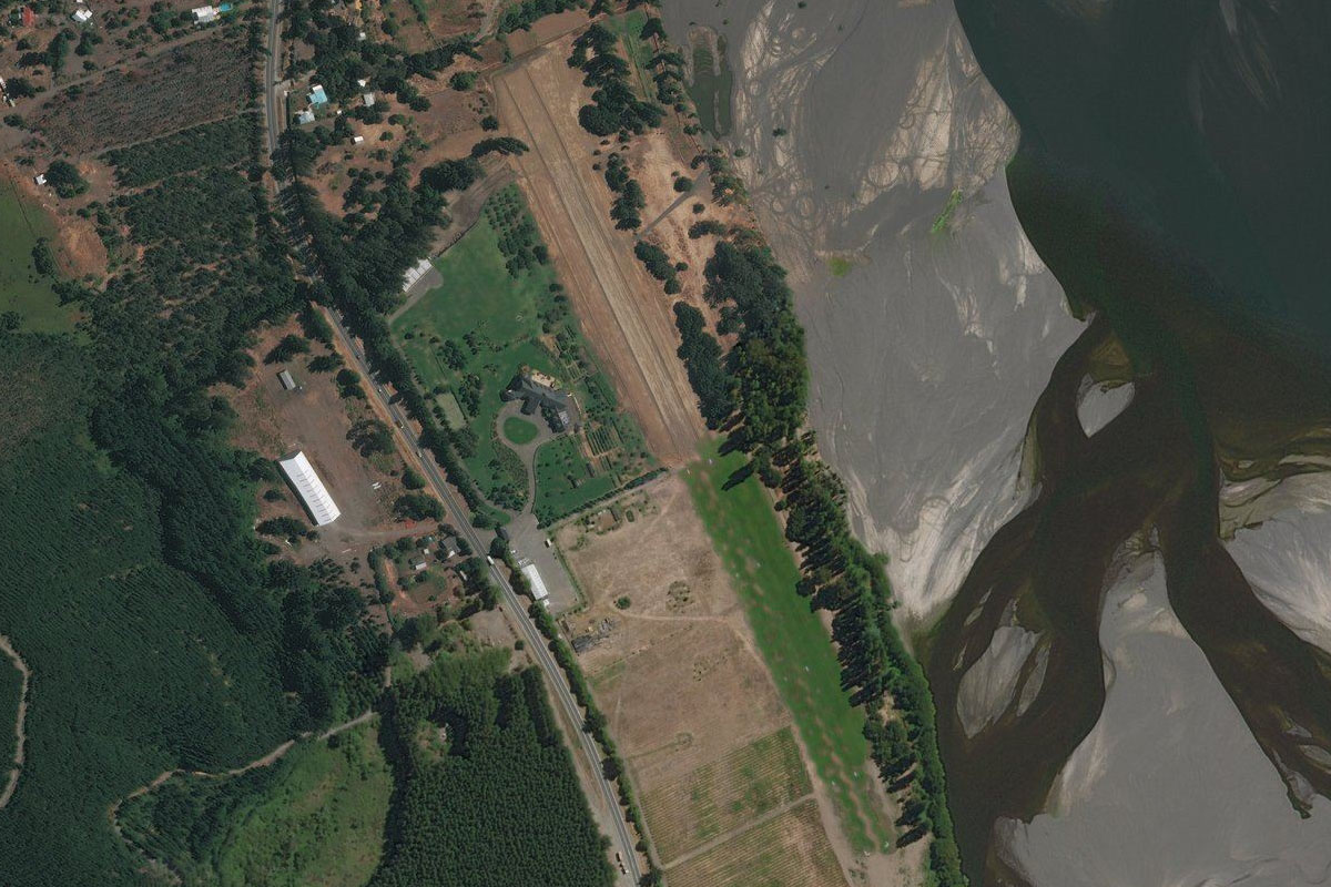
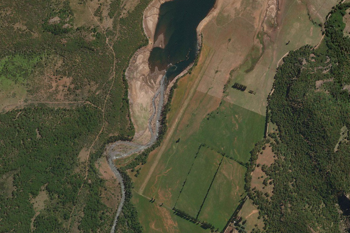
Follow the reservoir around to the south and head to the small airstrip, which sits at the mouth of the Lolco River
Leg 11
Flying from SCCU
Leg Distance: 50 Approximate time at 125kts: 24 minutes.
SCCU(SCCU) to Volcan Lonquimay(POI38)
Distance: 14.99NM Bearing: 199° 7 minutes
After takeoff, follow the valley south towards the Lonquimay Volcano, then fly over the lava flow and its western face
Volcan Lonquimay(POI38) to Lago Conguillo(POI39)
Distance: 15.33NM Bearing: 196° 7 minutes
Continue south past the western face of Sierra Nevada Volcano
Lago Conguillo(POI39) to Melipueco(POI40)
Distance: 12.54NM Bearing: 176° 6 minutes
Fly south past the larger Volcan Llaima, which is one of the largest and most active volcanoes in Chile
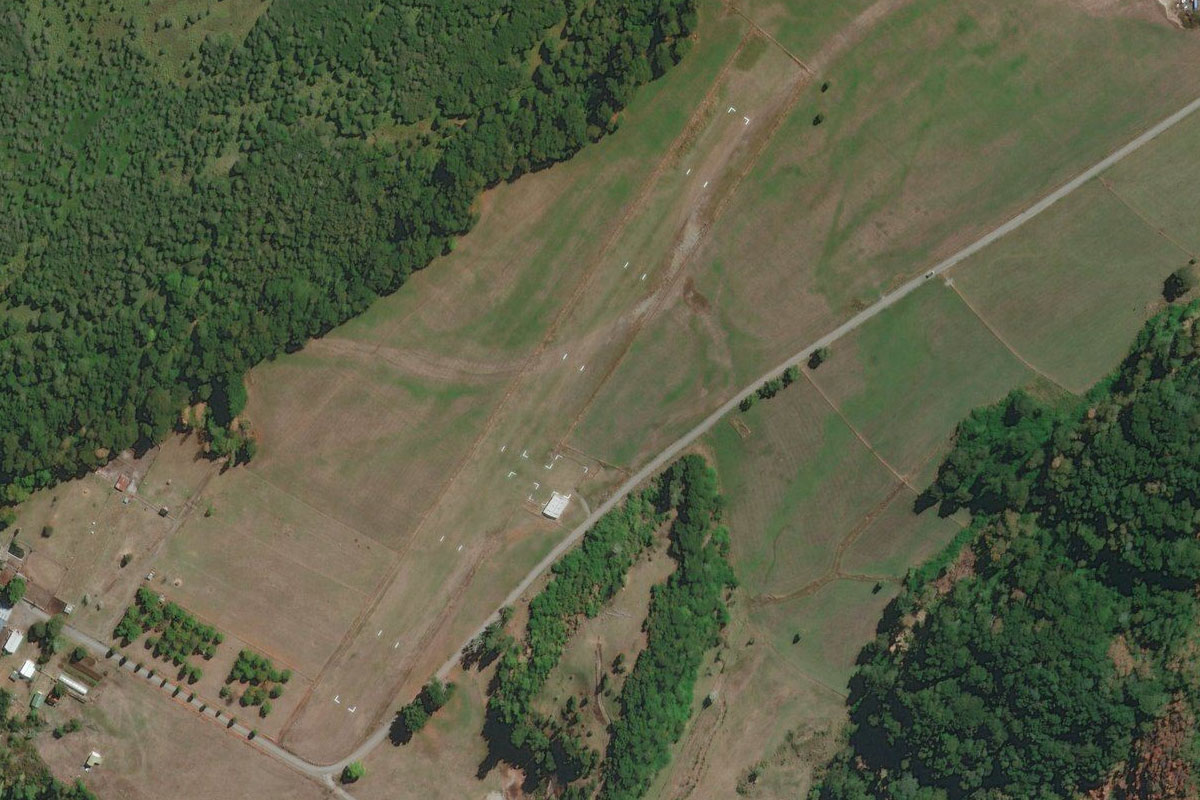
Melipueco(POI40) to SCML(SCML)
Distance: 7.14NM Bearing: 256° 3 minutes
Fly west along the valley at the base of the volcano. Melipueco airstrip is a few miles past the town
Leg 12
Flying from SCML
Leg Distance: 49.19 Approximate time at 125kts: 24 minutes.
SCML(SCML) to Lago Colico(POI41)
Distance: 17.23NM Bearing: 225° 8 minutes
Head southwest along the valley to the western edge of Lake Colico
Lago Colico(POI41) to Lago Colico(POI42)
Distance: 10.23NM Bearing: 104° 5 minutes
Turn and fly to the eastern end of the lake
Lago Colico(POI42) to Cerro Quelembre(POI43)
Distance: 5.34NM Bearing: 58° 3 minutes
Fly northeast along the valley then a right turn around Quelembre Mountain to the next lake
Cerro Quelembre(POI43) to Caburgua(POI44)
Distance: 8.51NM Bearing: 180° 4 minutes
Head south along Lake Caburgua to the large beach at the southern end
Caburgua(POI44) to SCPC(SCPC)
Distance: 7.88NM Bearing: 221° 4 minutes
Head southwest along the valley to Pucon Airport
Leg 13
Flying from SCPC
Leg Distance: 41.91 Approximate time at 125kts: 20 minutes.
SCPC(SCPC) to Lago Calafquen(POI45)
Distance: 16.27NM Bearing: 204° 8 minutes
After takeoff, head south past the western face of Villarica Volcano, another active volcano with the last eruption in 2015
Lago Calafquen(POI45) to Lago Panguipulli(POI46)
Distance: 11.53NM Bearing: 223° 6 minutes
Fly southwest over the small lake to another large lake, Panguipulli
Lago Panguipulli(POI46) to Choshuenco(POI47)
Distance: 12.68NM Bearing: 138° 6 minutes
Head southeast towards the twin volcanoes of Choshuenco and Mocho to the other end of the lake
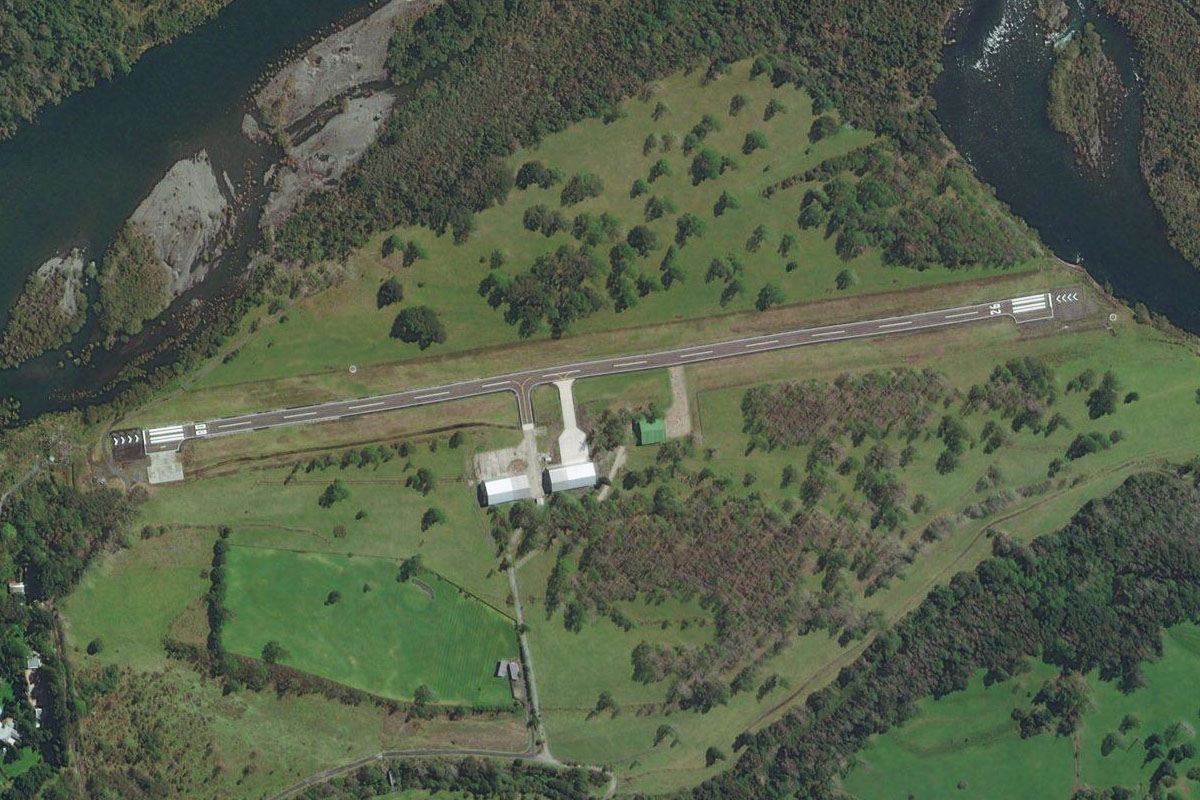
Choshuenco(POI47) to SCCM(SCCM)
Distance: 1.43NM Bearing: 78° 1 minutes
Molco Airport lies at the eastern tip of the lake
Leg 14
Flying from SCCM
Leg Distance: 26.93 Approximate time at 125kts: 13 minutes.
SCCM(SCCM) to Volcan Mocho(POI48)
Distance: 9.88NM Bearing: 124° 5 minutes
Head southwest for a right hand circuit of the volcano
Volcan Mocho(POI48) to Rio Pillanleufu(POI49)
Distance: 5.46NM Bearing: 188° 3 minutes
As you turn to the south around the base of the volcano, head into the valley leading south away from the volcano
Rio Pillanleufu(POI49) to SCAQ(SCAQ)
Distance: 11.59NM Bearing: 195° 6 minutes
Once the southern end of the valley opens out, follow the river to the dirt airstrip to it's west
Leg 15
Flying from SCAQ
Leg Distance: 26.02 Approximate time at 125kts: 12 minutes.
SCAQ(SCAQ) to Lago Ranco(POI50)
Distance: 11.4NM Bearing: 261° 5 minutes
Head west along the picturesque valley to Lake Ranco
Lago Ranco(POI50) to Isla Huapi(POI51)
Distance: 4.88NM Bearing: 248° 2 minutes
Head to the large island in the middle of the lake, Isla Huapi
Isla Huapi(POI51) to Lago Ranco(POI52)
Distance: 5.51NM Bearing: 140° 3 minutes
Turn southeast towards the southern edge of the lake
Lago Ranco(POI52) to SCXR(SCXR)
Distance: 4.23NM Bearing: 96° 2 minutes
Head east to the grass airfield at the end of the lake

Leg 16
Flying from SCXR
Leg Distance: 48.65 Approximate time at 125kts: 23 minutes.
SCXR(SCXR) to Rio Nilahue(POI53)
Distance: 4.96NM Bearing: 94° 2 minutes
Fly east along the valley for a few miles after takeoff
Rio Nilahue(POI53) to Volcan Puyehue(POI54)
Distance: 14.86NM Bearing: 172° 7 minutes
Turn south and gain some altitude for the flyover of the Puyehue Volcano Crater
Volcan Puyehue(POI54) to Rio Negro(POI55)
Distance: 20.07NM Bearing: 161° 10 minutes
From the crater, head south/slightly east towards the large volcano in the distance (Tronador). As you pass a smaller peak on the way, descend into the river valley also heading south
Rio Negro(POI55) to SCPU(SCPU)
Distance: 8.76NM Bearing: 174° 4 minutes
Follow the valley as it twists its way south. At the end of the valley will be the small airstrip of Peulla Airport
Leg 17
Flying from SCPU
Leg Distance: 46.89 Approximate time at 125kts: 23 minutes.
SCPU(SCPU) to Volcan Osorno(POI56)
Distance: 24.16NM Bearing: 248° 12 minutes
After takeoff, head south to the lake, then follow it to it's western end at the base of Osorno Volcano, an iconic symbol of the local region and whose 1835 eruption was witnessed by Charles Darwin
Volcan Osorno(POI56) to Rio Petrohue(POI57)
Distance: 17.2NM Bearing: 137° 8 minutes
From the volcano, turn southeast around the mountain to your left and fly along the valley
Rio Petrohue(POI57) to SCKM(SCKM)
Distance: 5.53NM Bearing: 179° 3 minutes
At the end of the river valley is the fjord of Reloncaví Estuary. Follow it south to the small airport at the town of Cochamo on the eastern bank

Leg 18
Flying from SCKM
Leg Distance: 31.53 Approximate time at 125kts: 15 minutes.
SCKM(SCKM) to Estero Reloncavi(POI58)
Distance: 10.13NM Bearing: 184° 5 minutes
Fly south along the fjord
Estero Reloncavi(POI58) to Isla Marimelli(POI59)
Distance: 4.84NM Bearing: 234° 2 minutes
Follow the fjord southwest
Isla Marimelli(POI59) to Lago Cabrera(POI60)
Distance: 10.6NM Bearing: 178° 5 minutes
When you reach the island in the middle of the channel, turn south and climb past the Hornopirén Volcano
Lago Cabrera(POI60) to SCRN(SCRN)
Distance: 5.96NM Bearing: 168° 3 minutes
Descend south to the town of Hornopirén, and the airport next to the water
Leg 19
Flying from SCRN
Leg Distance: 39.56 Approximate time at 125kts: 19 minutes.
SCRN(SCRN) to Golfo de Ancud(POI61)
Distance: 26.26NM Bearing: 214° 13 minutes
After takeoff, head southwest along the channel and out into the open waters of the Gulf of Ancud
Golfo de Ancud(POI61) to SCIB(SCIB)
Distance: 13.3NM Bearing: 258° 6 minutes
From the western point of the Ayacara Peninsula, turn and head west to the large island in the middle of the gulf. The airport is on the western edge of the island
Leg 20
Flying from SCIB
Leg Distance: 32.06 Approximate time at 125kts: 15 minutes.
SCIB(SCIB) to Tenuan(POI62)
Distance: 9.45NM Bearing: 261° 5 minutes
Head west over the smaller islands to the coast of Chiloe Island, the largest in the region
Tenuan(POI62) to Dalcahue(POI63)
Distance: 13.49NM Bearing: 244° 6 minutes
Follow the coastline southwest to the town of Dalcahue
Dalcahue(POI63) to Llau-Llao(POI64)
Distance: 5.2NM Bearing: 225° 2 minutes
Continue southwest over land to the next waterway
Llau-Llao(POI64) to SCST(SCST)
Distance: 3.92NM Bearing: 193° 2 minutes
Head south to the city of Castro, and the airport at its south

Leg 21
Flying from SCST
Leg Distance: 40.64 Approximate time at 125kts: 20 minutes.
SCST(SCST) to Chonchi(POI65)
Distance: 8.07NM Bearing: 172° 4 minutes
After takeoff, head south to the town of Chonchi at the western edge of the Yal Canal
Chonchi(POI65) to Ruta 5(POI66)
Distance: 13.7NM Bearing: 168° 7 minutes
Continue south across land to meet up with Route 5 at the western tip of Queilen Canal
Ruta 5(POI66) to Quellon(POI67)
Distance: 17.14NM Bearing: 149° 8 minutes
Follow the highway to its southern most point at the town of Quellon
Quellon(POI67) to SCON(SCON)
Distance: 1.73NM Bearing: 218° 1 minutes
The airport, and the end of this stage, is just across the bay southwest of the town
