Welcome to stage 26 of the tour, and a spectacular tour through Patagonia, the southern most region of South America occupied by Chile and Argentina. From Quellon you’ll make your way south along majestic fjords and valleys, over glaciers and snow capped mountain ranges to the world’s southernmost city and gateway to Antarctica, Ushuaia. Mountain highlights include Monte Fitz Roy and the iconic Torres del Paine.
Total Legs: 24 Total Distance: 1122 Total Time(125kts): 8 hours 58 minutes
Leg 1
Flying from SCON
Leg Distance: 49.49 Approximate time at 125kts: 24 minutes.
SCON(SCON) to Punta Piutipoye(POI1)
Distance: 14.98NM Bearing: 179° 7 minutes
After takeoff, head south along the coastline of Chiloé Island
Punta Piutipoye(POI1) to Canal Guamblad(POI2)
Distance: 2.96NM Bearing: 238° 1 minutes
Follow the coast around to the southwest for a few miles, then turn south
Canal Guamblad(POI2) to Ascencion Island(POI3)
Distance: 22.72NM Bearing: 182° 11 minutes
Head south across the open water to Ascención Island
Ascencion Island(POI3) to Melinka(POI4)
Distance: 7.47NM Bearing: 133° 4 minutes
Follow the coast southeast until you see the town of Melinka
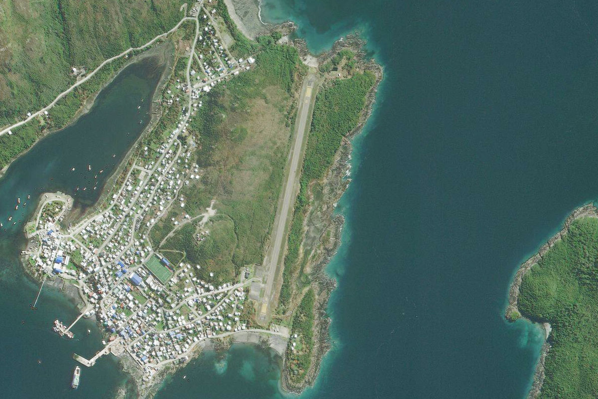
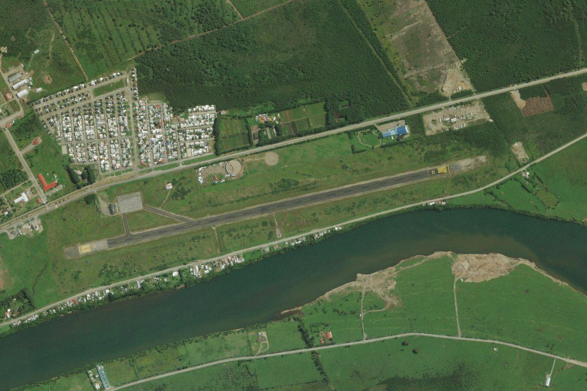
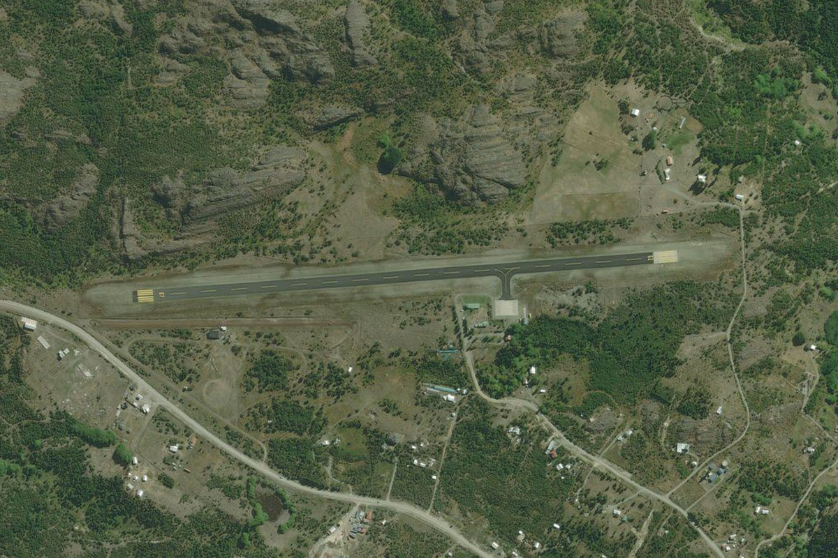
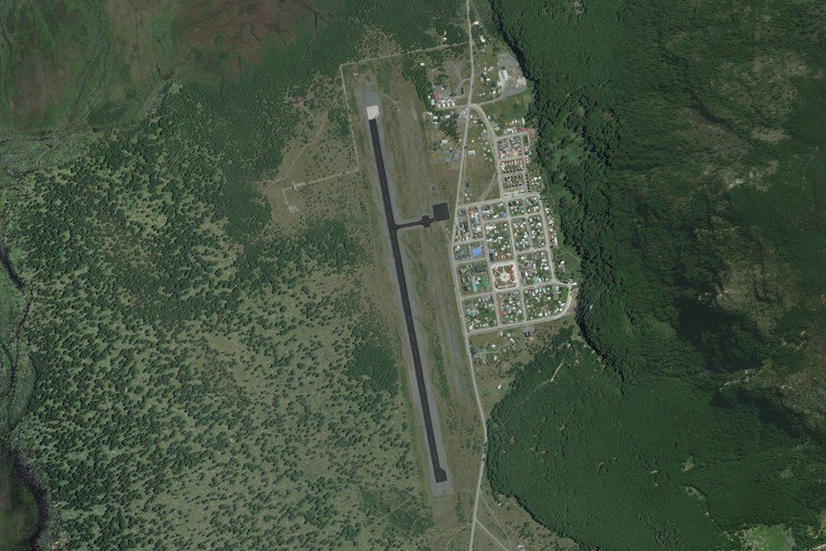
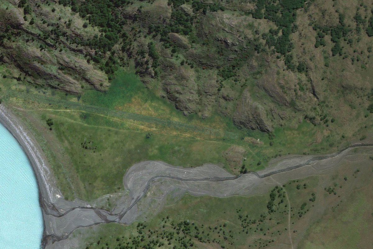
Melinka(POI4) to SCMK(SCMK)
Distance: 1.36NM Bearing: 175° 1 minutes
The airport is on the eastern side of the town, next to the shore
Leg 2
Flying from SCMK
Leg Distance: 32.44 Approximate time at 125kts: 16 minutes.
SCMK(SCMK) to Isla Elvira(POI5)
Distance: 12.59NM Bearing: 125° 6 minutes
After takeoff, head southeast over the water, then continue southeast along the coastlines of the islands. When you reach the small group of islands at the eastern tip of Elvira Island, turn to the east
Isla Elvira(POI5) to Estero Mena(POI6)
Distance: 16.29NM Bearing: 83° 8 minutes
Head east across Moraleda Channel in the direction of the large ice-capped volcano in the distance, Melimoyu, and enter the bay
Estero Mena(POI6) to SCOO(SCOO)
Distance: 3.56NM Bearing: 126° 2 minutes
Once inside the bay, turn southeast and head to Melimoyu Airport at the end of the bay
Leg 3
Flying from SCOO
Leg Distance: 34.8 Approximate time at 125kts: 17 minutes.
SCOO(SCOO) to Laguna Marchant(POI7)
Distance: 15.06NM Bearing: 98° 7 minutes
After takeoff, fly east along the length of the valley
Laguna Marchant(POI7) to Laguna Los Pumas(POI8)
Distance: 9.15NM Bearing: 105° 4 minutes
From the lake, continue east over the mountains at the end of the valley and head for the small mountaintop lake
Laguna Los Pumas(POI8) to Lago Risopatron(POI9)
Distance: 3.12NM Bearing: 134° 1 minutes
Turn southeast and descend to Lake Risopatron which sits in its own steep valley
Lago Risopatron(POI9) to SCPH(SCPH)
Distance: 7.47NM Bearing: 196° 4 minutes
Follow the valley south to the airport which sits on a flat peninsula crossing the channel
Leg 4
Flying from SCPH
Leg Distance: 71.07 Approximate time at 125kts: 34 minutes.
SCPH(SCPH) to Canal Puyuhuan(POI10)
Distance: 16.62NM Bearing: 191° 8 minutes
Fly south along the Puyuhuapi Channel until you see the valley of the Cisnes River and the area's main settlement of Puerto Cisnes to your left
Canal Puyuhuan(POI10) to Laguna Escondida(POI11)
Distance: 14.48NM Bearing: 158° 7 minutes
Fly southwest over Puerto Cisnes Airport towards the lake which will lead you into the valley beyond
Laguna Escondida(POI11) to Lago Copa(POI12)
Distance: 8.96NM Bearing: 101° 4 minutes
Turn east with the valley and fly along the length of Lake Copa. A few miles after the lake you will see a valley with another long lake to the right
Lago Copa(POI12) to Lago Presidente Roosevelt(POI13)
Distance: 7.83NM Bearing: 185° 4 minutes
Fly south along the lake-filled valley
Lago Presidente Roosevelt(POI13) to Rio Pangal(POI14)
Distance: 13.9NM Bearing: 198° 7 minutes
Continue southwest along the valley, following the Pangal River
Rio Pangal(POI14) to Rio Pangal(POI15)
Distance: 5.54NM Bearing: 153° 3 minutes
Follow the valley southeast
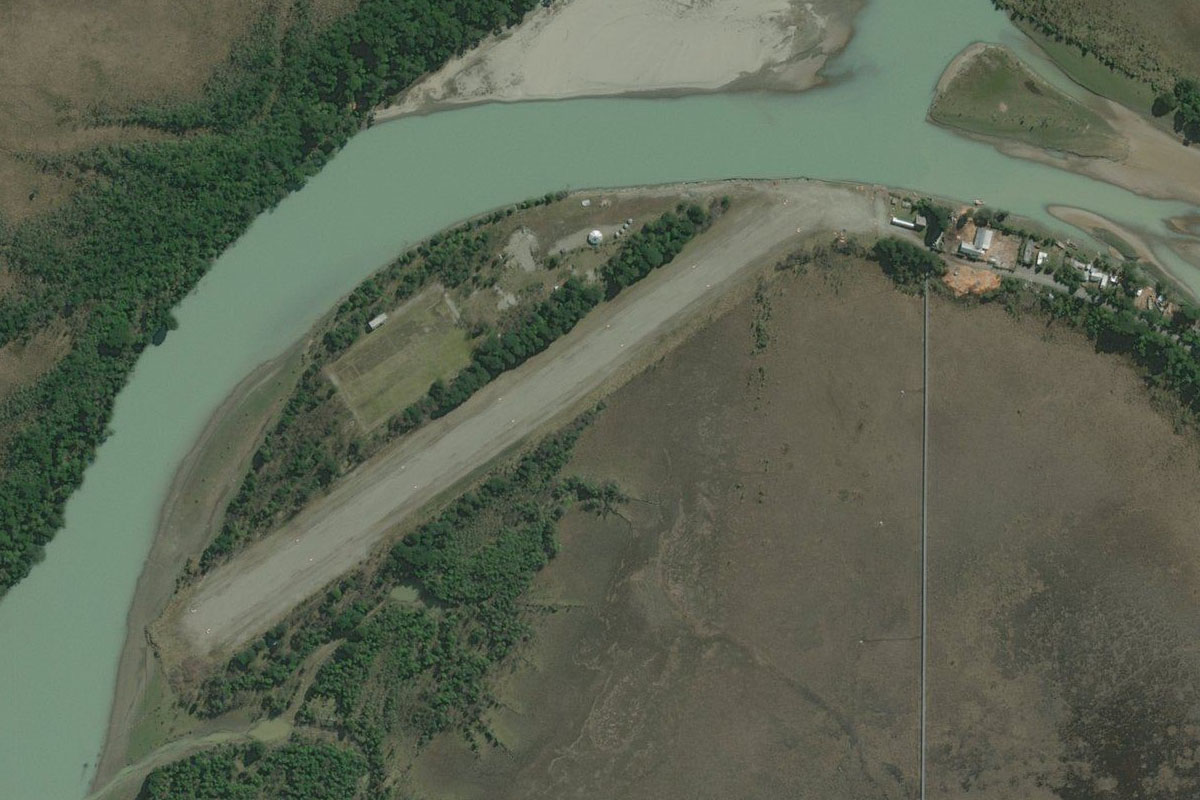
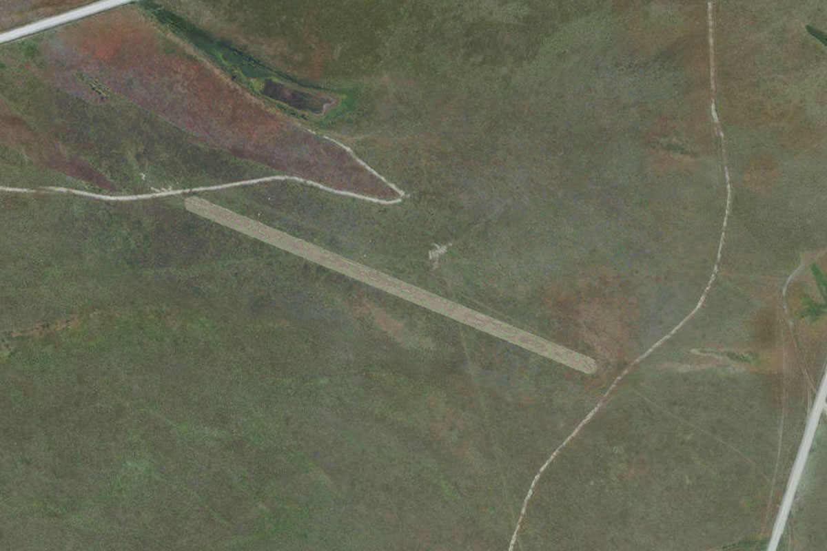
Rio Pangal(POI15) to SCAS(SCAS)
Distance: 3.74NM Bearing: 210° 2 minutes
When you exit the valley, turn southwest to the airport at the town of Puerto Aysen
Leg 5
Flying from SCAS
Leg Distance: 29.51 Approximate time at 125kts: 14 minutes.
SCAS(SCAS) to Aysen Fjord(POI16)
Distance: 10.24NM Bearing: 250° 5 minutes
After takeoff, fly west (runway heading) past the small mountain to the mouth of the river into Aysén Fjord
Aysen Fjord(POI16) to Aysen Fjord(POI17)
Distance: 6.86NM Bearing: 272° 3 minutes
As the fjord turns northwest, head west to meet the southern shore ahead
Aysen Fjord(POI17) to SCQO(SCQO)
Distance: 12.41NM Bearing: 202° 6 minutes
Turn left and head southwest along the large valley. The small grass airstrip is at the far end of the valley next to the river
Leg 6
Flying from SCQO
Leg Distance: 66.94 Approximate time at 125kts: 32 minutes.
SCQO(SCQO) to Estero Quitralco(POI18)
Distance: 20.29NM Bearing: 213° 10 minutes
Fly southwest along the Estero Quitralco fjord until it reaches the waters of Estero Elefantes
Estero Quitralco(POI18) to Estero Elefantes(POI19)
Distance: 6.76NM Bearing: 186° 3 minutes
Fly south along the fjord, passing by the river-delta filled valley to your left, before turning left into the next valley a few miles further south
Estero Elefantes(POI19) to Punta Leucoton(POI20)
Distance: 10.01NM Bearing: 101° 5 minutes
Fly east through the narrow valley to the fjord at the other end
Punta Leucoton(POI20) to Glaciar Erasmo(POI21)
Distance: 7.66NM Bearing: 118° 4 minutes
Fly southeast across the mouth of the large valley and head towards the Erasmo Glacier on the south side
Glaciar Erasmo(POI21) to Glaciar Erasmo(POI22)
Distance: 6.15NM Bearing: 112° 3 minutes
Climb along the glacier to the icefield at the top
Glaciar Erasmo(POI22) to SCEX(SCEX)
Distance: 16.07NM Bearing: 204° 8 minutes
Turning around to the southwest, you should see the Teresa river valley leading away from the mountain. This will lead you to the Exploradores River, and the small airstrip where the rivers meet
Leg 7
Flying from SCEX
Leg Distance: 49.42 Approximate time at 125kts: 24 minutes.
SCEX(SCEX) to Rio Exploradores(POI23)
Distance: 2.41NM Bearing: 111° 1 minutes
After takeoff, head east briefly before following the Exploradores River southeast
Rio Exploradores(POI23) to Glaciar Exploradores(POI24)
Distance: 8.2NM Bearing: 142° 4 minutes
Follow the river southeast until you reach the base of the Exploradores Glacier which runs down from Monte San Valentin, the highest mountain in Patagonia
Glaciar Exploradores(POI24) to Lago Bayo(POI25)
Distance: 4.09NM Bearing: 73° 2 minutes
A the base of the glacier, turn left and head east over Lake Bayo
Lago Bayo(POI25) to Rio Exploradores(POI26)
Distance: 7.8NM Bearing: 106° 4 minutes
Follow the river southeast along the narrow valley
Rio Exploradores(POI26) to Rio Exploradores(POI27)
Distance: 6.99NM Bearing: 135° 3 minutes
Continue southeast along the river valley
Rio Exploradores(POI27) to Lago Tranquilo(POI28)
Distance: 3.24NM Bearing: 45° 2 minutes
Turn with the valley northeast to Lake Tranquilo
Lago Tranquilo(POI28) to Puerto Rio Tranquilo(POI29)
Distance: 3.71NM Bearing: 93° 2 minutes
Head east out of the valley and over the small town of Puerto Rio Tranquilo
Puerto Rio Tranquilo(POI29) to Lago General Carrera(POI30)
Distance: 3.12NM Bearing: 142° 1 minutes
Follow the road southeast across the peninsula
Lago General Carrera(POI30) to SCHH(SCHH)
Distance: 9.86NM Bearing: 212° 5 minutes
Follow the coast around to the southwest and past the mouth of the Leones River, to Punta Baja airstrip on the small peninsula
Leg 8
Flying from SCHH
Leg Distance: 34.76 Approximate time at 125kts: 17 minutes.
SCHH(SCHH) to Lago Bertrand(POI31)
Distance: 5.68NM Bearing: 191° 3 minutes
After takeoff, head south then southwest through the gap in the mountains to Lake Bertrand
Lago Bertrand(POI31) to Lago Bertrand(POI32)
Distance: 6.33NM Bearing: 170° 3 minutes
Head to the south end of the lake to where it narrows to become the Baker River
Lago Bertrand(POI32) to Rio Baker(POI33)
Distance: 8.51NM Bearing: 150° 4 minutes
Follow the Baker River southeast
Rio Baker(POI33) to Rio Baker(POI34)
Distance: 6.65NM Bearing: 86° 3 minutes
Turn east where the river joins the Nef River
Rio Baker(POI34) to Rio Baker(POI35)
Distance: 5.19NM Bearing: 178° 2 minutes
Follow the river as it turns south and runs alongside the imposing wall of Cerro Tamango
Rio Baker(POI35) to SCHR(SCHR)
Distance: 2.4NM Bearing: 119° 1 minutes
Once you reach the south end of the mountain, turn east to the town of Cochrane. The airport is at the town's northwestern edge
Leg 9
Flying from SCHR
Leg Distance: 44.28 Approximate time at 125kts: 21 minutes.
SCHR(SCHR) to Lago Cochrane(POI36)
Distance: 5.11NM Bearing: 66° 2 minutes
After takeoff, head east to lake Cochrane, where you may catch sight of some flamingoes
Lago Cochrane(POI36) to Laguna del Diablo(POI37)
Distance: 5.14NM Bearing: 197° 2 minutes
Turn and head southwest to start following the trail of smaller lakes
Laguna del Diablo(POI37) to Lago Juncal(POI38)
Distance: 8.08NM Bearing: 238° 4 minutes
Head southwest over Laguna Esmerelda to Lago Juncal
Lago Juncal(POI38) to Rio de los Nadis(POI39)
Distance: 14.11NM Bearing: 197° 7 minutes
Continue southwest over Lake Chacabuco and Laguna Larga on your way to the flat valley of the Los Nadis River
Rio de los Nadis(POI39) to Rio de los Nadis(POI40)
Distance: 2.66NM Bearing: 175° 1 minutes
Follow the river briefly south before turning southwest into another valley
Rio de los Nadis(POI40) to SCVS(SCVS)
Distance: 9.18NM Bearing: 228° 4 minutes
Head southwest along the valley, crossing Lake Vargas before arriving at the airport on the other side
Leg 10
Flying from SCVS
Leg Distance: 20.87 Approximate time at 125kts: 10 minutes.
SCVS(SCVS) to Rio Cochrane(POI41)
Distance: 17.16NM Bearing: 231° 8 minutes
Follow the Cochrane River southwest along the valley
Rio Cochrane(POI41) to SCCR(SCCR)
Distance: 3.71NM Bearing: 282° 2 minutes
Keep following the river west as it leads you to a small airfield before it enters the Montalva Channel
Leg 11
Flying from SCCR
Leg Distance: 35.06 Approximate time at 125kts: 17 minutes.
SCCR(SCCR) to Laguna Perla(POI42)
Distance: 8.56NM Bearing: 173° 4 minutes
After takeoff, head south and climb to fly over the mountainous lake topped island
Laguna Perla(POI42) to Isla Faro(POI43)
Distance: 15.61NM Bearing: 164° 7 minutes
Continue south in the direction of the distant glacier and descend to the group of small islands which may offer another look at some birdlife
Isla Faro(POI43) to Canal Baker(POI44)
Distance: 5.2NM Bearing: 60° 2 minutes
Turn northeast and head across the channel
Canal Baker(POI44) to SCTP(SCTP)
Distance: 5.69NM Bearing: 124° 3 minutes
Turning southeast, you should see the mouth of the Pascua River in a wide valley, with the small airport next to the river
Leg 12
Flying from SCTP
Leg Distance: 48.54 Approximate time at 125kts: 23 minutes.
SCTP(SCTP) to Lago Bergues(POI45)
Distance: 15.49NM Bearing: 160° 7 minutes
Head south over Lago Bergues and then climb over the hill to the glacier which will continue climbing as it curves to the southeast
Lago Bergues(POI45) to Cerro Mellizo Sur(POI46)
Distance: 8.55NM Bearing: 114° 4 minutes
As you reach the top of the glacier, turn and fly to the left of the group of tall peaks, passing the sheer peak of Cerro Mellizo Sur
Cerro Mellizo Sur(POI46) to Lago O’Higgins(POI47)
Distance: 11.53NM Bearing: 88° 6 minutes
Once you pass the peak, turn east across the mountains, passing over a deep valley before reaching the long north-south running lake, Lake O'Higgins, which is also the deepest lake in the Americas
Lago O’Higgins(POI47) to Laguna Negra(POI48)
Distance: 9.49NM Bearing: 22° 5 minutes
As you reach the lake, you should see a narrow valley to the northeast filled with a lake. Turn northeast and descend along this valley
Laguna Negra(POI48) to SCOH(SCOH)
Distance: 3.48NM Bearing: 79° 2 minutes
At the end of the valley, turn to the east and head to the airport at the town of O'Higgins. The town, as well as many other places in the region, are named for Bernado O'Higgins – Chilean independence leader and considered a founding father of the nation
Leg 13
Flying from SCOH
Leg Distance: 33.34 Approximate time at 125kts: 16 minutes.
SCOH(SCOH) to Lago O’Higgins(POI49)
Distance: 19.92NM Bearing: 166° 10 minutes
Head south along the lake, which in this stretch forms part of the Chile-Argentine border
Lago O’Higgins(POI49) to Rio Obstaculo(POI50)
Distance: 9.52NM Bearing: 228° 5 minutes
At the south end of the valley, fly southwest across the main body of the lake. You will see two valleys leading south from the lake separated by a ridge – head to the valley on the right side
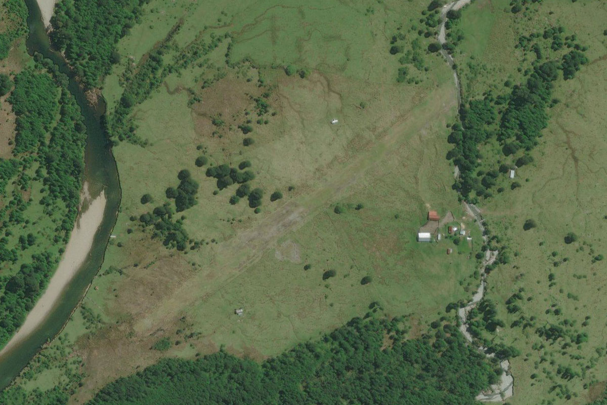
Rio Obstaculo(POI50) to SCIO(SCIO)
Distance: 3.9NM Bearing: 203° 2 minutes
A few miles along the valley you will come to a small airport
Leg 14
Flying from SCIO
Leg Distance: 55.6 Approximate time at 125kts: 27 minutes.
SCIO(SCIO) to Monte Fitz Roy(POI51)
Distance: 16.87NM Bearing: 189° 8 minutes
Fly south along the valley towards the sharp peaks of Mount Fitz Roy, and begin climbing for a closer look
Monte Fitz Roy(POI51) to Monte Fitz Roy(POI52)
Distance: 4.61NM Bearing: 213° 2 minutes
Continue climbing as you head between the peaks
Monte Fitz Roy(POI52) to Glaciar Viedma(POI53)
Distance: 6.06NM Bearing: 232° 3 minutes
As you approach the peak, turn southwest and head to the glacier behind the mountain peaks
Glaciar Viedma(POI53) to Glaciar Viedma(POI54)
Distance: 9.95NM Bearing: 165° 5 minutes
Follow the large Viedma Glacier south
Glaciar Viedma(POI54) to Lago Viedma(POI55)
Distance: 7.89NM Bearing: 105° 4 minutes
Descend with the glacier southeast towards Lake Viedma
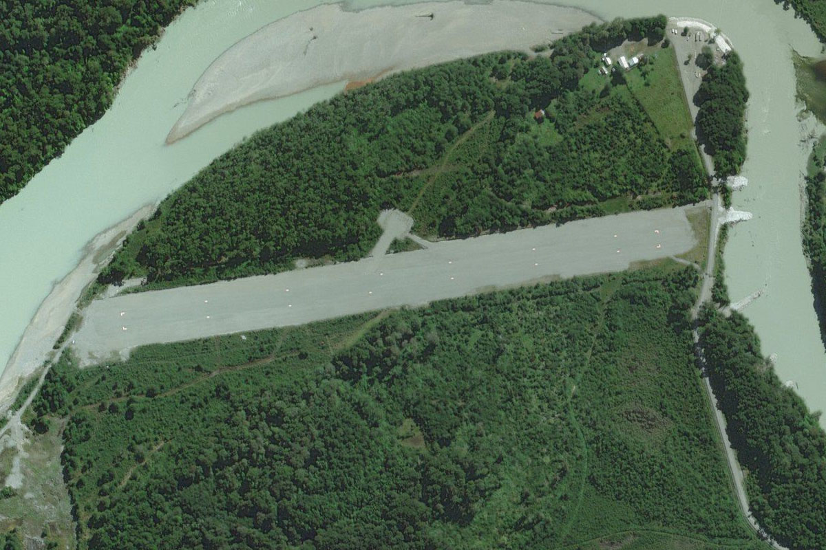
Lago Viedma(POI55) to SCDV(SCDV)
Distance: 10.22NM Bearing: 38° 5 minutes
When you reach the lake, head northeast to the flat plain on the other side and the dirt airstrip a couple of miles south of the mountains
Leg 15
Flying from SCDV
Leg Distance: 65.35 Approximate time at 125kts: 31 minutes.
SCDV(SCDV) to Lago Viedma(POI56)
Distance: 35.25NM Bearing: 118° 17 minutes
Head southeast along Lake Viedma to the small river entrance near the eastern edge of the lake
Lago Viedma(POI56) to Lago Argentino(POI57)
Distance: 23.19NM Bearing: 163° 11 minutes
Head south with the river to Lago Argentino
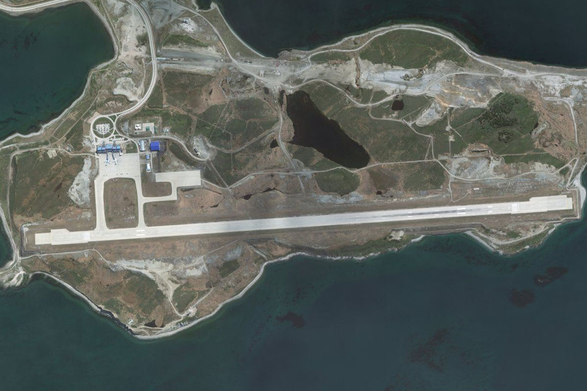
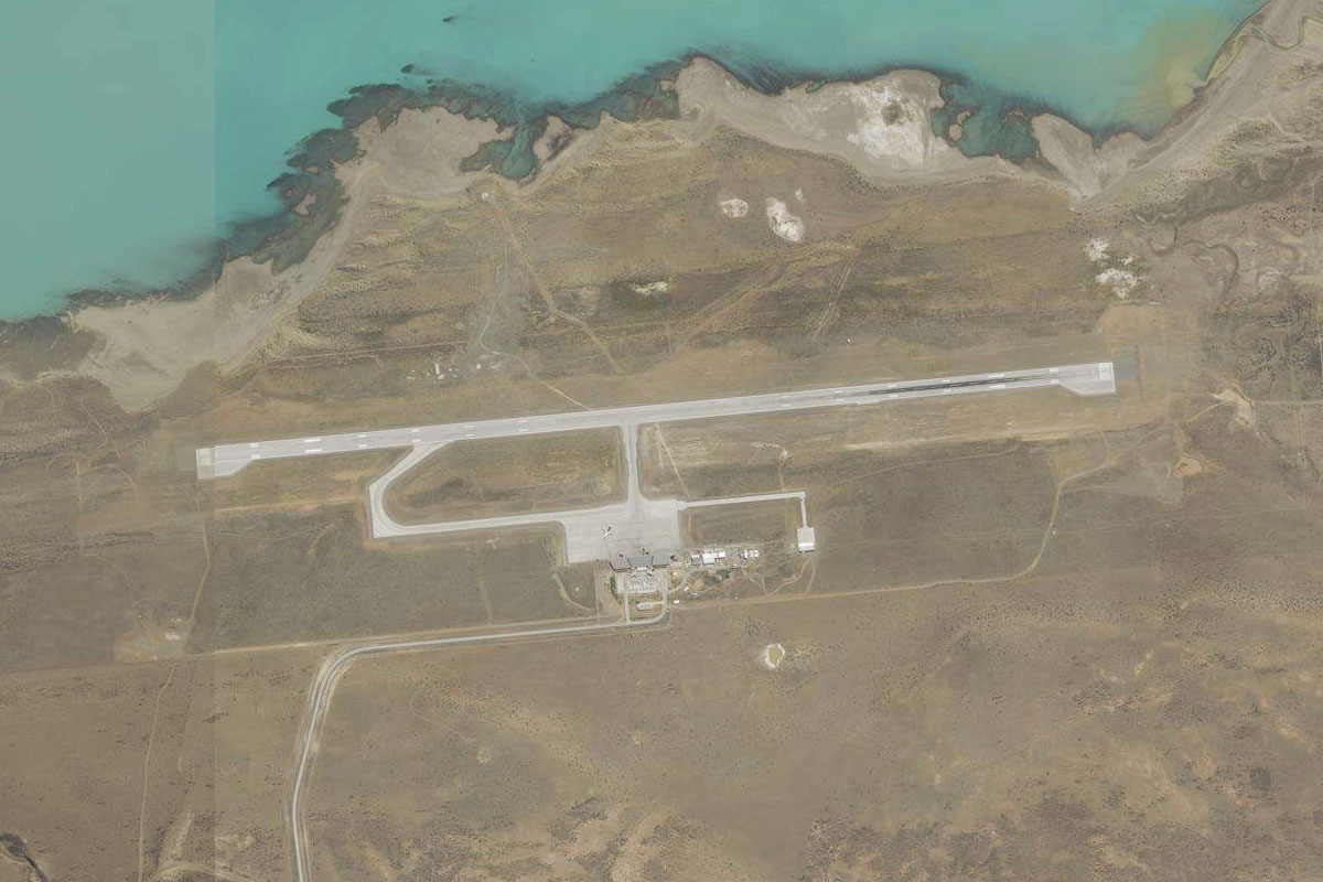
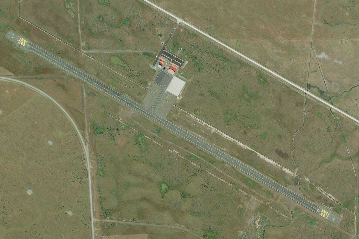
Lago Argentino(POI57) to SAWC(SAWC)
Distance: 6.91NM Bearing: 178° 3 minutes
Fly south across the lake to El Calafate Airport
Leg 16
Flying from SAWC
Leg Distance: 80.9 Approximate time at 125kts: 39 minutes.
SAWC(SAWC) to Lago Argentino(POI58)
Distance: 28.61NM Bearing: 255° 14 minutes
Fly west along the southern shore of the lake
Lago Argentino(POI58) to Canal de los Tempanos(POI59)
Distance: 9.79NM Bearing: 243° 5 minutes
Towards the western end of the lake you see a channel to the southwest (and maybe some flamingoes). Head southwest along the channel
Canal de los Tempanos(POI59) to Glaciar Perito Moreno(POI60)
Distance: 8.1NM Bearing: 169° 4 minutes
Follow the channel south to the Perito Moreno Glacier, one of the major natural attractions in the area
Glaciar Perito Moreno(POI60) to Glaciar Perito Moreno(POI61)
Distance: 6.99NM Bearing: 220° 3 minutes
Climb southwest along the glacier
Glaciar Perito Moreno(POI61) to Glaciar Dickson(POI62)
Distance: 12.46NM Bearing: 172° 6 minutes
Fly south over the icefield to reach Dickson Glacier
Glaciar Dickson(POI62) to Lago Dickson(POI63)
Distance: 3.51NM Bearing: 111° 2 minutes
Follow the glacier east to Lake Dickson
Lago Dickson(POI63) to Lago Dickson(POI64)
Distance: 4.55NM Bearing: 141° 2 minutes
Follow Lake Dickson southeast
Lago Dickson(POI64) to SC2L(SC2L)
Distance: 6.89NM Bearing: 65° 3 minutes
When the mountains open up to the east, turn and head east to Lake Paine. At the eastern end of the lake is a small grass airstrip
Leg 17
Flying from SC2L
Leg Distance: 31.51 Approximate time at 125kts: 15 minutes.
SC2L(SC2L) to Rio Paine(POI65)
Distance: 8.18NM Bearing: 137° 4 minutes
After takeoff, follow the Paine River southeast and start gaining some altitude
Rio Paine(POI65) to Parque Nacional Torres del Paine(POI66)
Distance: 13.98NM Bearing: 226° 7 minutes
Turn and head southwest along Nordenskjöld Lake. As you pass to the south of the iconic peaks of Torres del Paine
Parque Nacional Torres del Paine(POI66) to Lago Grey(POI67)
Distance: 7.07NM Bearing: 137° 3 minutes
Once you pass the mountains and reach Lake Grey, turn southeast and follow the river leading away from the south end of the lake
Lago Grey(POI67) to SC2P(SC2P)
Distance: 2.28NM Bearing: 97° 1 minutes
You will find the grass airstrip a mile east of where the road crosses the river
Leg 18
Flying from SC2P
Leg Distance: 44.09 Approximate time at 125kts: 21 minutes.
SC2P(SC2P) to Lago Brush(POI68)
Distance: 8.9NM Bearing: 187° 4 minutes
Head south towards the group of lakes and the Serrano River valley
Lago Brush(POI68) to Glaciar Serrano(POI69)
Distance: 6.32NM Bearing: 177° 3 minutes
Fly south along the river to the large waterway of Última Esperanza Sound. To your right you will see the first of two popular glaciers in the area, Serrano
Glaciar Serrano(POI69) to Glaciar Balmaceda(POI70)
Distance: 2.71NM Bearing: 214° 1 minutes
A few miles to the southwest will be the second glacier, Balmaceda
Glaciar Balmaceda(POI70) to Seno de Ultima Esperanza(POI71)
Distance: 17.81NM Bearing: 105° 9 minutes
Turn and head southeast along the Última Esperanza Sound
Seno de Ultima Esperanza(POI71) to SCNT(SCNT)
Distance: 8.35NM Bearing: 108° 4 minutes
Continue southeast along the north shore of the lake to the airport which is a few miles northwest of Puerto Natales
Leg 19
Flying from SCNT
Leg Distance: 50.7 Approximate time at 125kts: 24 minutes.
SCNT(SCNT) to Ruta 9(POI72)
Distance: 7.4NM Bearing: 90° 4 minutes
Head east after takeoff to meet Route 9 heading east past the mountain
Ruta 9(POI72) to Ruta 9(POI73)
Distance: 23.7NM Bearing: 132° 11 minutes
Follow the road southeast
Ruta 9(POI73) to SC2M(SC2M)
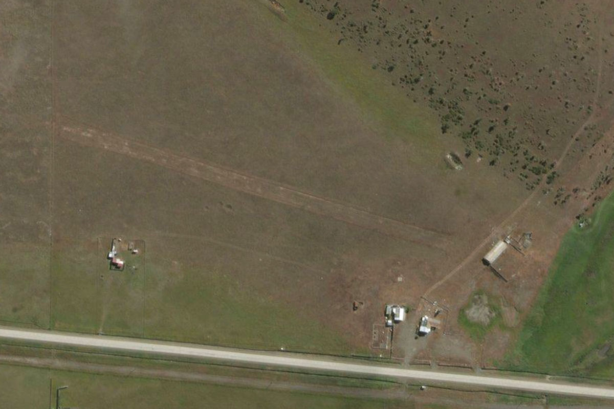
Distance: 19.6NM Bearing: 83° 9 minutes
Keep following the road as it turns east. After a long straight section before the small mountain of Morro Chico Natural Monument, there will be an airstrip on the north side of the road
Leg 20
Flying from SC2M
Leg Distance: 62.71 Approximate time at 125kts: 30 minutes.
SC2M(SC2M) to Ruta 9(POI74)
Distance: 23.34NM Bearing: 163° 11 minutes
Follow the road south
Ruta 9(POI74) to Laguna Cabeza de Mar(POI75)
Distance: 23.34NM Bearing: 131° 11 minutes
Continue along the road southeast where it will meet another highway at Laguna Cabeza de Mar
Laguna Cabeza de Mar(POI75) to SCCI(SCCI)
Distance: 16.03NM Bearing: 147° 8 minutes
Keep following the highway southeast past the oil terminal and wind farm at Cabo Negro, and to the airport a few miles south
Leg 21
Flying from SCCI
Leg Distance: 41.28 Approximate time at 125kts: 20 minutes.
SCCI(SCCI) to Punta Arenas(POI76)
Distance: 11.19NM Bearing: 183° 5 minutes
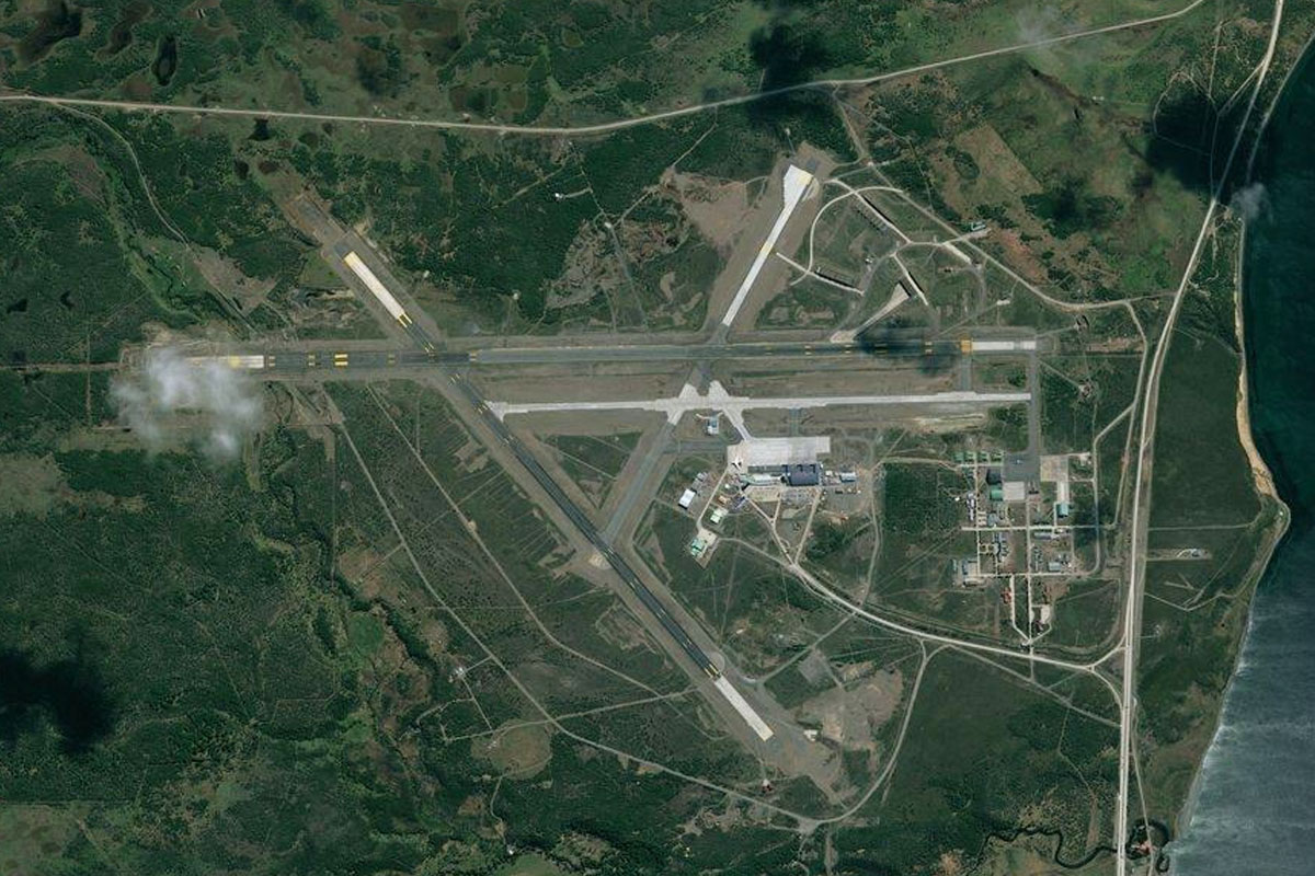
After takeoff, head south over Punta Arenas, one of the largest cities in the world this far south
Punta Arenas(POI76) to SCDW(SCDW)
Distance: 30.09NM Bearing: 134° 14 minutes
Once you pass the city, turn southeast and cross the Strait of Magellan, which links the Pacific and Atlantic Oceans. When you reach the tip of Dawson Island, the airport will be a few miles south
Leg 22
Flying from SCDW
Leg Distance: 50.16 Approximate time at 125kts: 24 minutes.
SCDW(SCDW) to Canal Whiteside(POI77)
Distance: 21.25NM Bearing: 88° 10 minutes
After takeoff, head east across Whiteside Channel
Canal Whiteside(POI77) to Y-851(POI78)
Distance: 20.92NM Bearing: 88° 10 minutes
Continue east across the flat plain to meet the road heading southeast
Y-851(POI78) to SCFN(SCFN)
Distance: 7.99NM Bearing: 109° 4 minutes
Follow the road southeast past the small settlement of Munizaga, then after a few more miles Russfin Airport sitting just south of the road
Leg 23
Flying from SCFN
Leg Distance: 48.73 Approximate time at 125kts: 23 minutes.
SCFN(SCFN) to Canal Whiteside(POI79)
Distance: 32.15NM Bearing: 181° 15 minutes
After takeoff, head south over the mountains to once again meet the Whiteside Channel
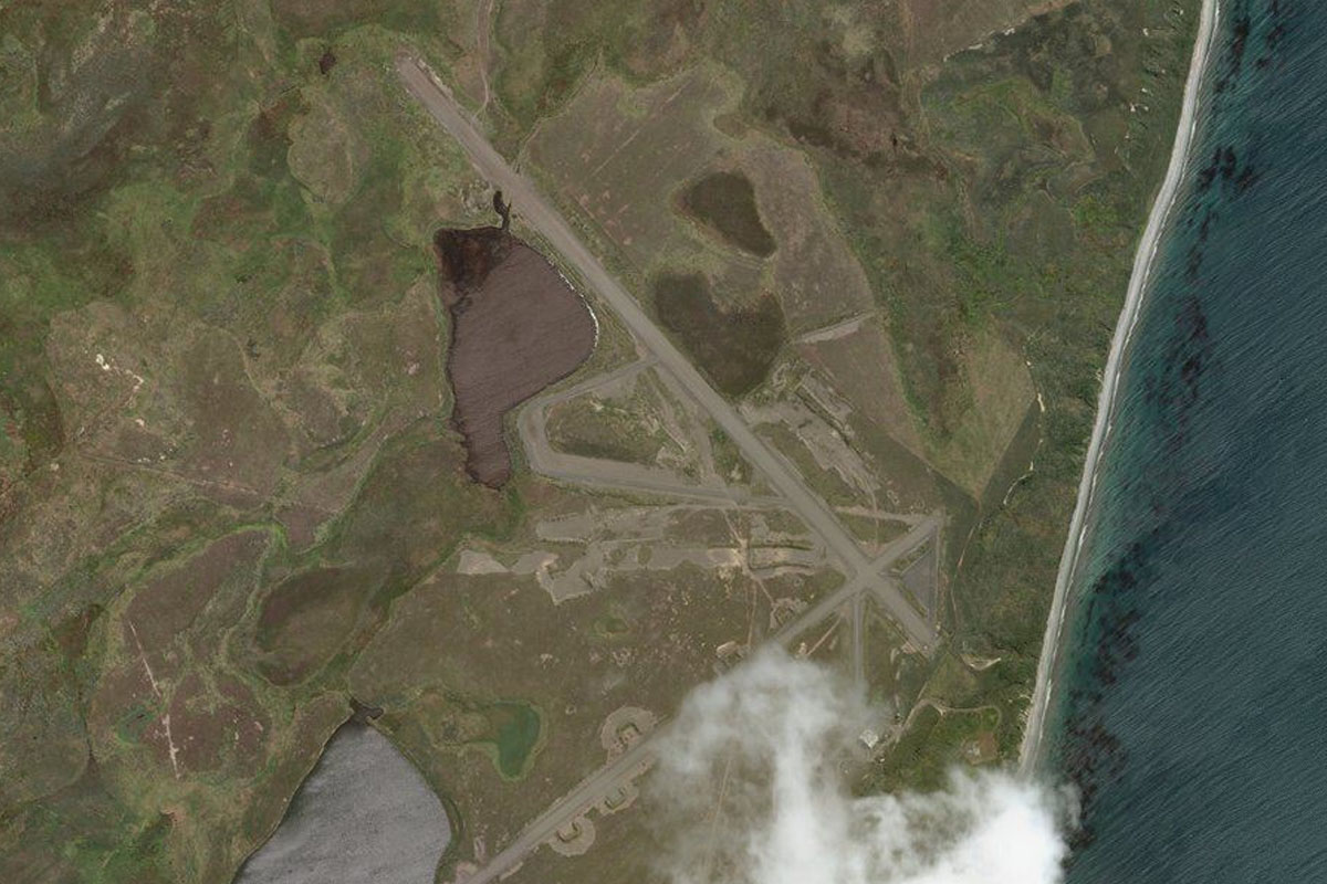
Canal Whiteside(POI79) to SCAZ(SCAZ)
Distance: 16.58NM Bearing: 113° 8 minutes
Fly east along the channel to Azopardo Airport, which is on the south side of the mountain running along the middle of the valley
Leg 24
Flying from SCAZ
Leg Distance: 40.22 Approximate time at 125kts: 19 minutes.
SCAZ(SCAZ) to Bahia Grande(POI80)
Distance: 16.33NM Bearing: 98° 8 minutes
After takeoff, head east along the valley to Lake Fagnano. When you reach the two bays leading to the south, turn south into the second bay
Bahia Grande(POI80) to Rio Pipo(POI81)
Distance: 7.76NM Bearing: 179° 4 minutes
Head south over land and get enough altitude to cross the smaller hills to reach the Pipo River valley
Rio Pipo(POI81) to Rio Pipo(POI82)
Distance: 2.92NM Bearing: 208° 1 minutes
Follow the valley southwest, then on its long turn around to the left
Rio Pipo(POI82) to Rio Pipo(POI83)
Distance: 2.11NM Bearing: 158° 1 minutes
Keep following the valley's turn around to the southeast
Rio Pipo(POI83) to Rio Pipo(POI84)
Distance: 5.79NM Bearing: 115° 3 minutes
Follow the valley southeast
Rio Pipo(POI84) to SAWH(SAWH)
Distance: 5.31NM Bearing: 88° 3 minutes
At the valley exit, turn to the east and head for the destination, Ushuaia International Airport