
Welcome to stage 35, and a mammoth 2700 kilometer journey along the world’s greatest river, the Amazon. This stage explores almost the entire length of the river in Brazil, from Tabatinga on the border with Peru, to the city of Macapa on the Amazon Delta near its mouth at the Atlantic Ocean
Total Legs: 24 Total Distance: 1462 Total Time(125kts): 11 hours 41 minutes
Leg 1
Flying from SBTT
Leg Distance: 94.75 Approximate time at 125kts: 45 minutes.
SBTT(SBTT) to Rio Solimoes / Amazonas(POI1)
Distance: 27.45NM Bearing: 93° 13 minutes
After takeoff, fly east to meet up with the Amazon River, and the start of a 2700 kilometer journey along the world's greatest river. In Brazil, the Amazon River is known as the Solimões River until its confluence with the Rio Negro
Rio Solimoes / Amazonas(POI1) to Rio Solimoes(POI2)
Distance: 43.85NM Bearing: 24° 21 minutes
Follow the river north, passing through the indigenous lands of the Ticuna people
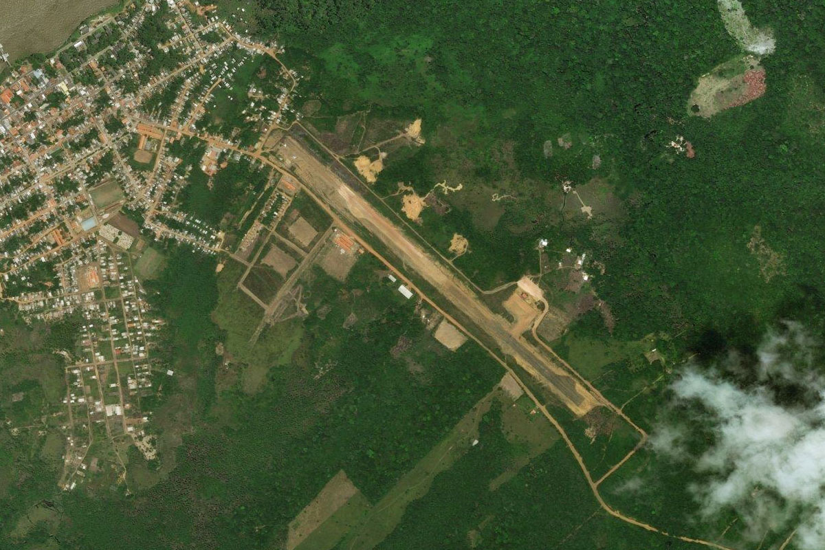
Rio Solimoes(POI2) to SDCG(SDCG)
Distance: 23.45NM Bearing: 100° 11 minutes
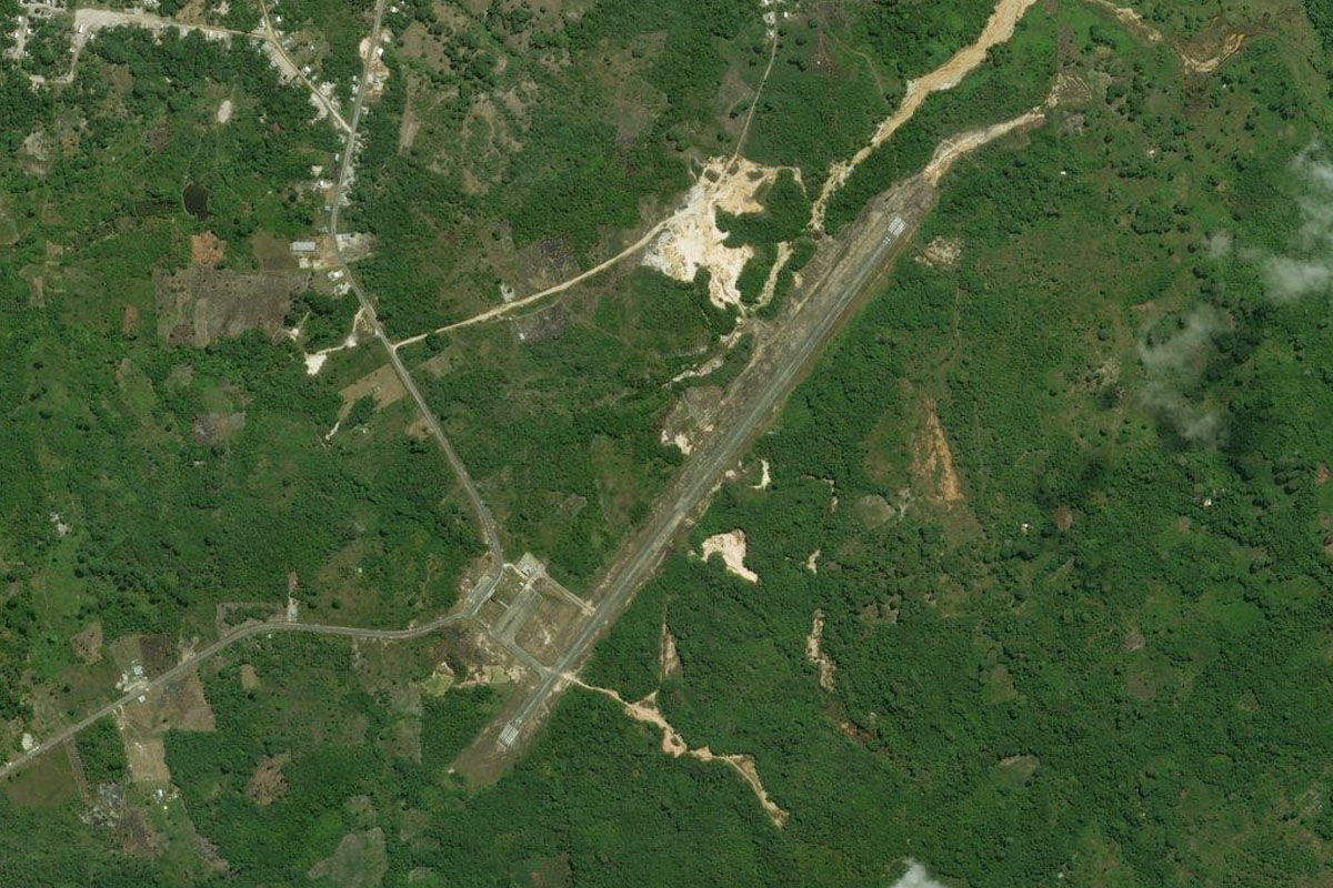
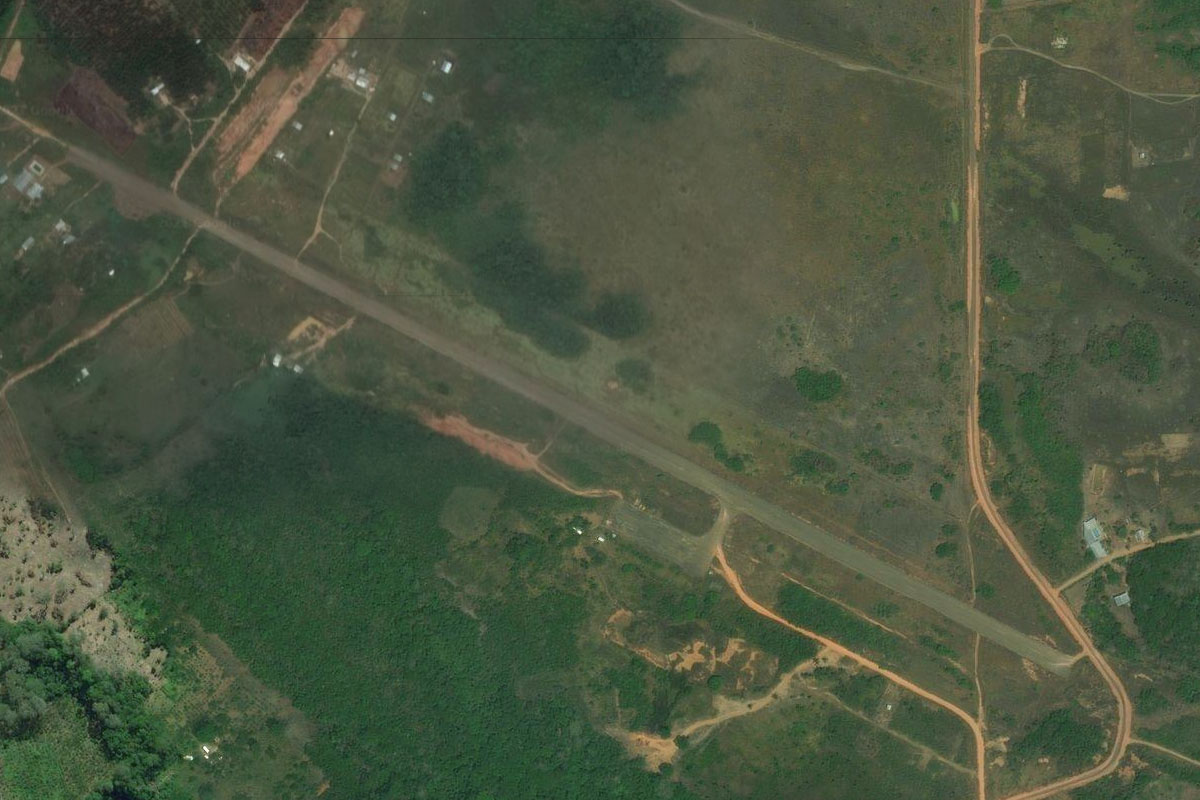
The river will turn to the east, leading you to the town of São Paulo de Olivença on the south bank. The airport is east of the town
Leg 2
Flying from SDCG
Leg Distance: 72.6 Approximate time at 125kts: 35 minutes.
SDCG(SDCG) to Rio Solimoes(POI3)
Distance: 57NM Bearing: 94° 27 minutes
Continue east along the river
Rio Solimoes(POI3) to SBSK(SBSK)
Distance: 15.6NM Bearing: 17° 7 minutes
Follow the river north to the town of Santo Antônio do Içá. The airport is northwest of the town
Leg 3
Flying from SBSK
Leg Distance: 84.99 Approximate time at 125kts: 41 minutes.
SBSK(SBSK) to Rio Solimoes(POI4)
Distance: 47.25NM Bearing: 61° 23 minutes
Follow the river northeast, through the land of the Kokama and Kaixana peoples
Rio Solimoes(POI4) to SB5J(SB5J)
Distance: 37.74NM Bearing: 119° 18 minutes
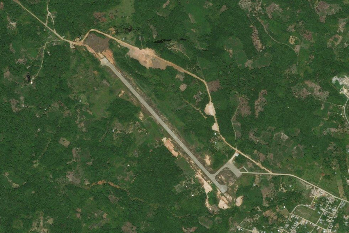
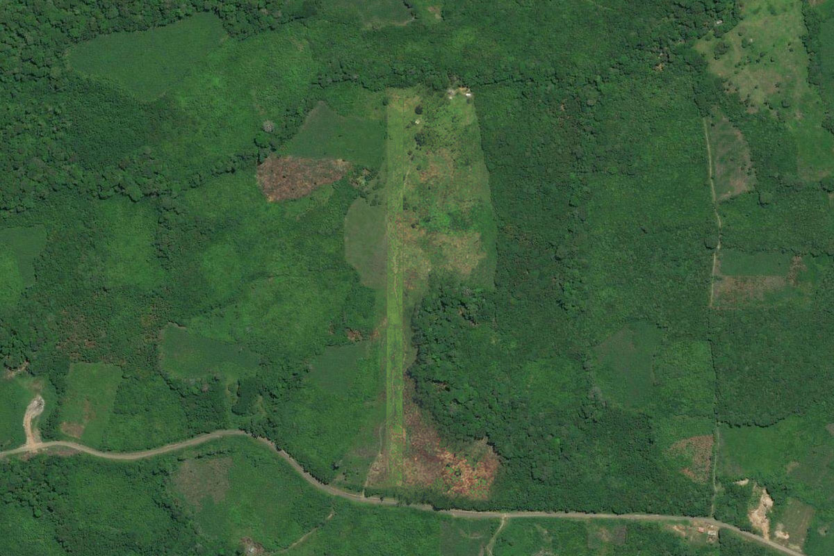
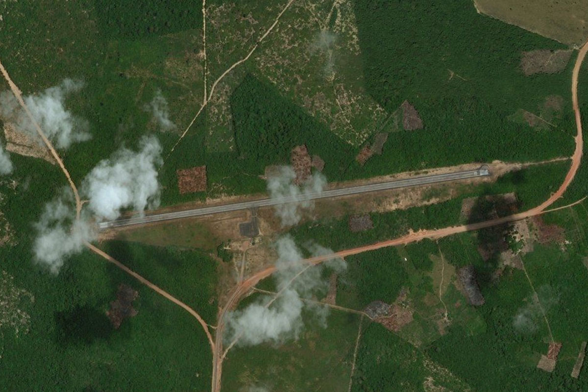
Heading east to the town of Jutai on the south bank, you will see a small grass strip in the cleared land on the southeastern edge of town
Leg 4
Flying from SB5J
Leg Distance: 43.76 Approximate time at 125kts: 21 minutes.
SB5J(SB5J) to Rio Solimoes(POI5)
Distance: 36.54NM Bearing: 79° 18 minutes
After takeoff, continue east along the river
Rio Solimoes(POI5) to SWOB(SWOB)
Distance: 7.22NM Bearing: 115° 3 minutes
Fonte Boa Airport is just south of the town which lies on the south bank of the river
Leg 5
Flying from SWOB
Leg Distance: 66.79 Approximate time at 125kts: 32 minutes.
SWOB(SWOB) to Rio Solimoes(POI6)
Distance: 13.77NM Bearing: 96° 7 minutes
Fly east with the river
Rio Solimoes(POI6) to Rio Solimoes(POI7)
Distance: 16.85NM Bearing: 139° 8 minutes
Follow the river southeast
Rio Solimoes(POI7) to Rio Solimoes(POI8)
Distance: 20.45NM Bearing: 123° 10 minutes
As the river turns to the north, cut across the land southeast
Rio Solimoes(POI8) to Uarini(POI9)
Distance: 12.1NM Bearing: 147° 6 minutes
Once again following the river east, then south, you will see the town of Uarini a couple of miles south of the river. The town is near an area inhabited by the indigenous Miranha and Mura people
Uarini(POI9) to SB5U(SB5U)
Distance: 3.62NM Bearing: 215° 2 minutes
Just west of the town is a small grass airstrip next to the road leading away from the town
Leg 6
Flying from SB5U
Leg Distance: 40.56 Approximate time at 125kts: 19 minutes.
SB5U(SB5U) to Rio Solimoes(POI10)
Distance: 6.38NM Bearing: 108° 3 minutes
Head east back to the river
Rio Solimoes(POI10) to Rio Solimoes(POI11)
Distance: 28.35NM Bearing: 143° 14 minutes
Follow the river southwest, and stay with the south fork
Rio Solimoes(POI11) to SBTF(SBTF)
Distance: 5.83NM Bearing: 203° 3 minutes
Head south across Tefé Lagoon to the city of Tefé, and the airport a couple of miles south of the city
Leg 7
Flying from SBTF
Leg Distance: 63.9 Approximate time at 125kts: 31 minutes.
SBTF(SBTF) to Rio Solimoes(POI12)
Distance: 15.53NM Bearing: 115° 7 minutes
Head east back to the main part of the river
Rio Solimoes(POI12) to Rio Solimoes(POI13)
Distance: 39.78NM Bearing: 140° 19 minutes
Follow the river southeast
Rio Solimoes(POI13) to Rio Solimoes(POI14)
Distance: 7.88NM Bearing: 98° 4 minutes
As the river turns east and splits around a group of islands, take the north fork
Rio Solimoes(POI14) to SB5C(SB5C)
Distance: 0.71NM Bearing: 15° 0 minutes
Halfway along the fork you should see a dirt airstrip cut into the forest
Leg 8
Flying from SB5C
Leg Distance: 52.57 Approximate time at 125kts: 25 minutes.
SB5C(SB5C) to Rio Solimoes(POI15)
Distance: 8.21NM Bearing: 138° 4 minutes
Head southeast back to the river
Rio Solimoes(POI15) to Rio Solimoes(POI16)
Distance: 32.78NM Bearing: 113° 16 minutes
Follow the river east
Rio Solimoes(POI16) to Coari(POI17)
Distance: 8.99NM Bearing: 193° 4 minutes
Continue with the river as it turns south to the town of Coari on the south bank
Coari(POI17) to SWKO(SWKO)
Distance: 2.59NM Bearing: 181° 1 minutes
The airport is in a clearing south of the town
Leg 9
Flying from SWKO
Leg Distance: 104.56 Approximate time at 125kts: 50 minutes.
SWKO(SWKO) to Rio Solimoes(POI18)
Distance: 19.53NM Bearing: 65° 9 minutes
After takeoff, head northeast along with the river
Rio Solimoes(POI18) to Rio Solimoes(POI19)
Distance: 35.84NM Bearing: 91° 17 minutes
Follow the river east
Rio Solimoes(POI19) to Rio Solimoes(POI20)
Distance: 23.85NM Bearing: 127° 11 minutes
The river will turn southeast
Rio Solimoes(POI20) to Rio Solimoes(POI21)
Distance: 18.56NM Bearing: 88° 9 minutes
Follow the river as it turns back to the east
Rio Solimoes(POI21) to SBAO(SBAO)
Distance: 6.78NM Bearing: 360° 3 minutes
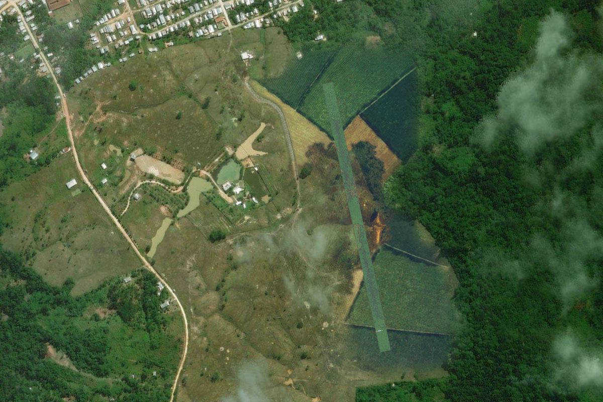
As the river turns northeast, fly north to the town of Anori, and the sealed airstrip north of the town
Leg 10
Flying from SBAO
Leg Distance: 79.49 Approximate time at 125kts: 38 minutes.
SBAO(SBAO) to Rio Solimoes(POI22)
Distance: 19.13NM Bearing: 82° 9 minutes
Fly east to the river and continue east
Rio Solimoes(POI22) to Rio Solimoes(POI23)
Distance: 27.07NM Bearing: 106° 13 minutes
Follow the river east
Rio Solimoes(POI23) to Manacapuru(POI24)
Distance: 24.88NM Bearing: 60° 12 minutes
Follow the river northeast to the large town of Manacapuru on the north shore
Manacapuru(POI24) to SB5M(SB5M)
Distance: 8.41NM Bearing: 342° 4 minutes
Fly northwest along the shore to the airstrip which is next to a road leading northwest from the town

Leg 11
Flying from SB5M
Leg Distance: 55.08 Approximate time at 125kts: 26 minutes.
SB5M(SB5M) to Parque Nacional de Anavilhanas(POI25)
Distance: 13.97NM Bearing: 47° 7 minutes
After takeoff, head northeast to the Rio Negro. This area of the river is also part of the Anavilhanas National Park, popular tourist spot for viewing the famous Amazon River Dolphin
Parque Nacional de Anavilhanas(POI25) to Rio Negro(POI26)
Distance: 8.64NM Bearing: 92° 4 minutes
Fly east to the other side of the river, which at this point is over 15 kilometers wide
Rio Negro(POI26) to Rio Negro(POI27)
Distance: 9.32NM Bearing: 147° 4 minutes
Follow the bank of the river southeast. The Rio Negro is the largest blackwater river in the world
Rio Negro(POI27) to Manaus(POI28)
Distance: 13.31NM Bearing: 108° 6 minutes
Follow the shore east
Manaus(POI28) to SBMN(SBMN)
Distance: 9.84NM Bearing: 142° 5 minutes
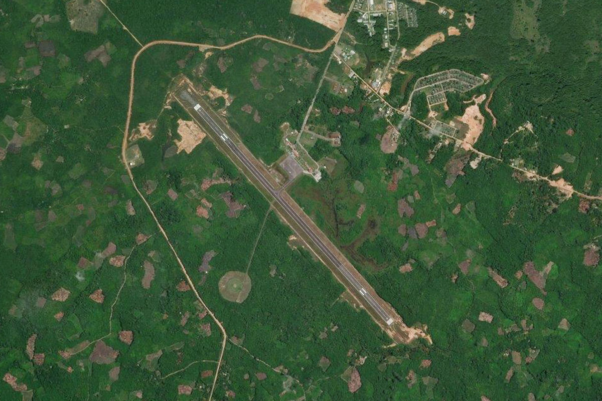
Follow the shore southeast to the city of Manaus, the capital and largest city in the state of Amazonas. The bridge crossing is the only major bridge in the Amazon basin. After a closer look at the city, head to the airport near the port area at the city's south

Leg 12
Flying from SBMN
Leg Distance: 59.46 Approximate time at 125kts: 29 minutes.
SBMN(SBMN) to Rio Amazonas(POI29)
Distance: 29.24NM Bearing: 105° 14 minutes
After takeoff, head east over the confluence of the Rio Negro and Solimões River, creating the main stretch of the Amazon River
Rio Amazonas(POI29) to SB5N(SB5N)
Distance: 30.22NM Bearing: 119° 15 minutes
Follow the north shore of the river east until you reach the town of Novo Remanso. A mile east of the town is a dirt airstrip next to the river

Leg 13
Flying from SB5N
Leg Distance: 36.69 Approximate time at 125kts: 18 minutes.
SB5N(SB5N) to Rio Amazonas(POI30)
Distance: 14.61NM Bearing: 133° 7 minutes
Follow the river southeast
Rio Amazonas(POI30) to SBIC(SBIC)
Distance: 22.08NM Bearing: 73° 11 minutes
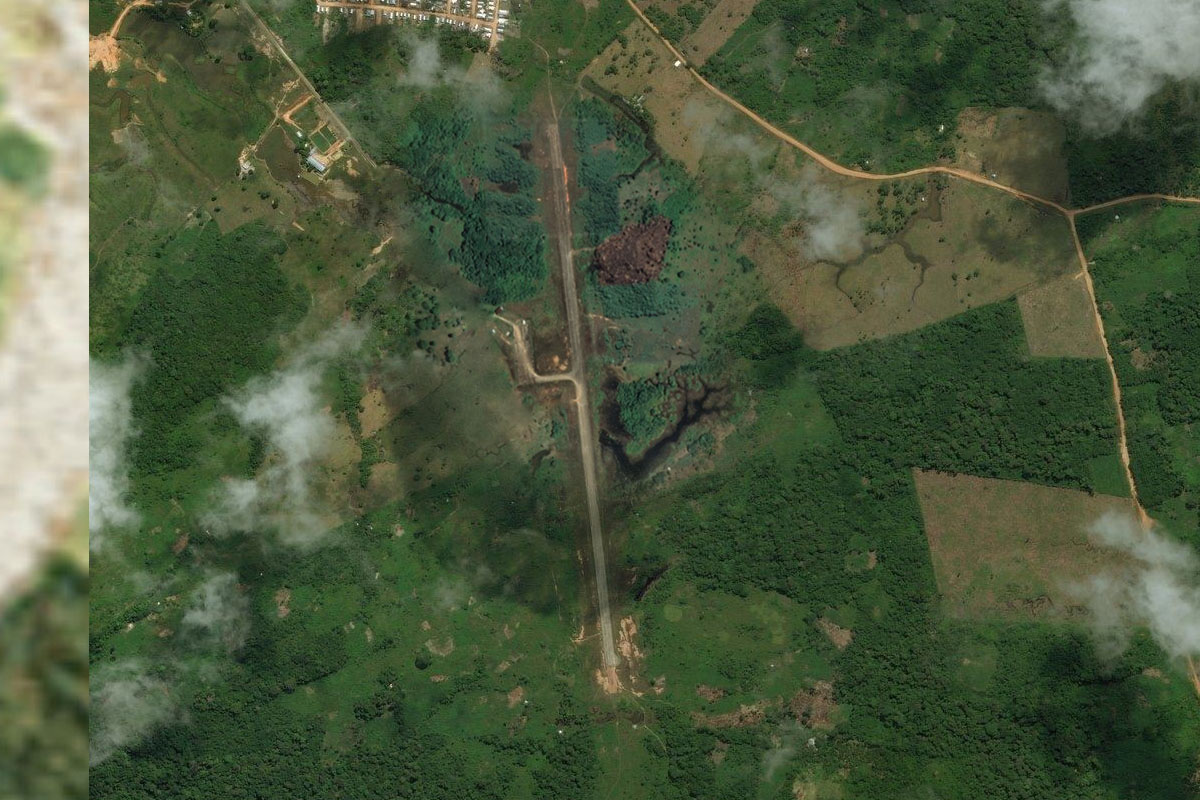
The river will turn northeast and lead to the town of Itacoatiara, with the airport next to the grain terminal west of the town

Leg 14
Flying from SBIC
Leg Distance: 24.93 Approximate time at 125kts: 12 minutes.
SBIC(SBIC) to Lago Canacari(POI31)
Distance: 5.88NM Bearing: 90° 3 minutes
After takeoff, head east past the north of the town to the southern tip of Lake Canaçari
Lago Canacari(POI31) to Silves(POI32)
Distance: 17.87NM Bearing: 53° 9 minutes
Follow the lake northeast to the island of Silves at its northern end
Silves(POI32) to SB5S(SB5S)
Distance: 1.18NM Bearing: 357° 1 minutes
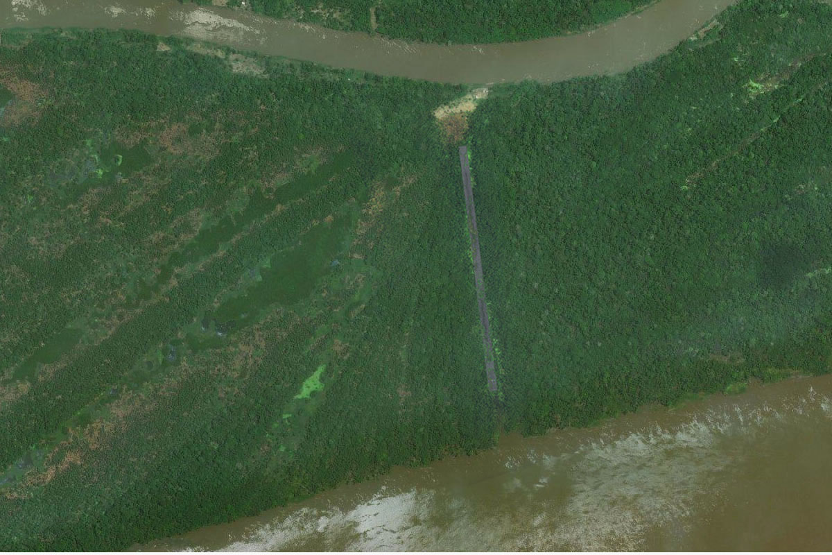
The dirt airstrip runs along the center of the island

Leg 15
Flying from SB5S
Leg Distance: 41.66 Approximate time at 125kts: 20 minutes.
SB5S(SB5S) to Rio Amazonas(POI33)
Distance: 10.99NM Bearing: 96° 5 minutes
After takeoff, head east back to the Amazon River
Rio Amazonas(POI33) to Rio Amazonas(POI34)
Distance: 14.53NM Bearing: 100° 7 minutes
Continue east along the river
Rio Amazonas(POI34) to Rio Amazonas(POI35)
Distance: 6.27NM Bearing: 60° 3 minutes
Follow the river northeast
Rio Amazonas(POI35) to SWWK(SWWK)
Distance: 9.87NM Bearing: 9° 5 minutes
After you pass a group of islands near the left bank as you turn northeast, head north to the town of Urucará, with the airport on the northern edge of town

Leg 16
Flying from SWWK
Leg Distance: 61.42 Approximate time at 125kts: 29 minutes.
SWWK(SWWK) to Rio Amazonas(POI36)
Distance: 27.18NM Bearing: 108° 13 minutes
After takeoff, head east across land to meet the river as it turns back on itself
Rio Amazonas(POI36) to Parintins(POI37)
Distance: 30.51NM Bearing: 118° 15 minutes
Continue east along the river to the large town of Parintins on the south bank
Parintins(POI37) to SWPI(SWPI)
Distance: 3.73NM Bearing: 169° 2 minutes
The airport is southwest of the town

Leg 17
Flying from SWPI
Leg Distance: 50.94 Approximate time at 125kts: 24 minutes.
SWPI(SWPI) to Rio Amazonas(POI38)
Distance: 33.84NM Bearing: 66° 16 minutes
Head back to the river and follow it northeast
Rio Amazonas(POI38) to SJOH(SJOH)
Distance: 17.1NM Bearing: 88° 8 minutes
Continue east along the river to the town of Juruti on the south bank. The airfield is a mile south of the town

Leg 18
Flying from SJOH
Leg Distance: 41.82 Approximate time at 125kts: 20 minutes.
SJOH(SJOH) to Rio Amazonas(POI39)
Distance: 10.05NM Bearing: 46° 5 minutes
Fly back to the river and follow it northeast
Rio Amazonas(POI39) to Obidos(POI40)
Distance: 28.67NM Bearing: 92° 14 minutes
Follow the river east to the town of Óbidos on the north bank
Obidos(POI40) to SNTI(SNTI)
Distance: 3.1NM Bearing: 69° 1 minutes
The airport is north of the town
Leg 19
Flying from SNTI
Leg Distance: 64.4 Approximate time at 125kts: 31 minutes.
SNTI(SNTI) to Rio Amazonas(POI41)
Distance: 19.2NM Bearing: 161° 9 minutes
After takeoff, head southeast along the river
Rio Amazonas(POI41) to Rio Amazonas(POI42)
Distance: 29.73NM Bearing: 115° 14 minutes
In an area surrounded by large lakes, follow the main channel of the river east
Rio Amazonas(POI42) to SBSN(SBSN)
Distance: 15.47NM Bearing: 190° 7 minutes
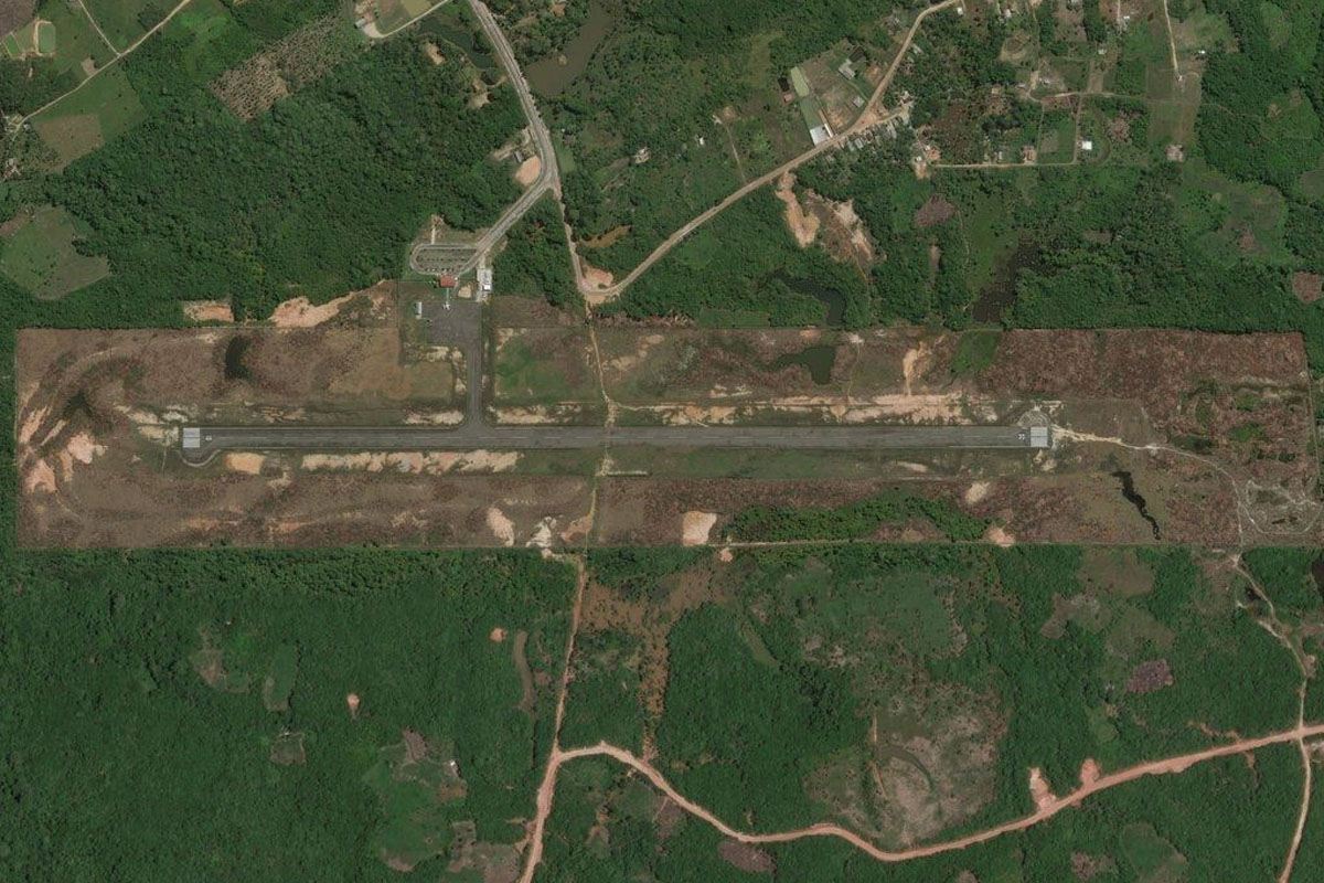
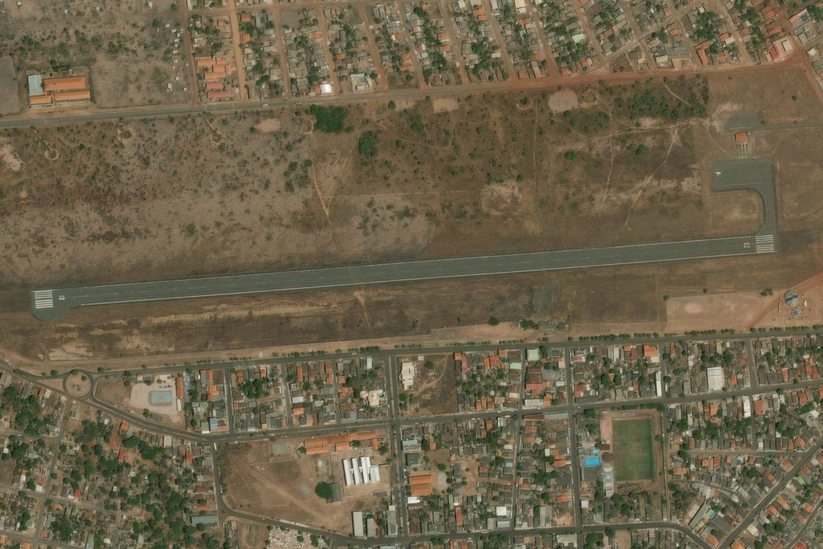
Continue south along the main channel of the river to the port city of Santarém. The airport is a couple of miles west of the city

Leg 20
Flying from SBSN
Leg Distance: 64.09 Approximate time at 125kts: 31 minutes.
SBSN(SBSN) to Rio Amazonas(POI43)
Distance: 39.68NM Bearing: 105° 19 minutes
After takeoff, head east over the city and continue east along the river
Rio Amazonas(POI43) to Monte Alegre(POI44)
Distance: 21.51NM Bearing: 33° 10 minutes
Follow the river northeast to the town of Monte Alegre on the north bank
Monte Alegre(POI44) to SNMA(SNMA)
Distance: 2.9NM Bearing: 335° 1 minutes
The airport is in the center of the town
Leg 21
Flying from SNMA
Leg Distance: 38.77 Approximate time at 125kts: 19 minutes.
SNMA(SNMA) to Praiha(POI45)
Distance: 36.8NM Bearing: 92° 18 minutes
Follow the river east to the next town on the north bank, Praiha
Praiha(POI45) to SNIN(SNIN)
Distance: 1.97NM Bearing: 13° 1 minutes
The airfield is on the north side of town

Leg 22
Flying from SNIN
Leg Distance: 61.25 Approximate time at 125kts: 29 minutes.
SNIN(SNIN) to Rio Amazonas(POI46)
Distance: 56.24NM Bearing: 96° 27 minutes
Continue east along the river to the next town on the northern bank, Almerim
Rio Amazonas(POI46) to SNYA(SNYA)
Distance: 5.01NM Bearing: 20° 2 minutes
The dirt airstrip is a couple of miles north of the town, on one of the few hills near the river
Leg 23
Flying from SNYA
Leg Distance: 59.14 Approximate time at 125kts: 28 minutes.
SNYA(SNYA) to Rio Amazonas(POI47)
Distance: 36.04NM Bearing: 106° 17 minutes
Head east to where the river splits in two, marking the beginning of the Amazon River delta (which is not strictly a delta), with the Marajó Archipelago the largest river archipelago on earth
Rio Amazonas(POI47) to Rio Amazonas(POI48)
Distance: 8.91NM Bearing: 138° 4 minutes
Turn right and head southwest into the south fork of the river
Rio Amazonas(POI48) to SNGU(SNGU)
Distance: 14.19NM Bearing: 85° 7 minutes
Head east to the town of Gurupá on the south bank. The airport is southeast of the town
Leg 24
Flying from SNGU
Leg Distance: 98.49 Approximate time at 125kts: 47 minutes.
SNGU(SNGU) to Rio Amazonas(POI49)
Distance: 34NM Bearing: 64° 16 minutes
Fly northeast along the left side of the river
Rio Amazonas(POI49) to Equator(POI50)
Distance: 61.25NM Bearing: 30° 29 minutes
Stay with the left side of the river as you head northeast to the city of Macapá, which lies on the Equator and near the mouth of the Amazon River
Equator(POI50) to SBMQ(SBMQ)
Distance: 3.24NM Bearing: 360° 2 minutes
Macapá International Airport lies in the northern part of the city and marks the end of this stage
