Welcome to stage 5 of our around the world sightseeing adventure. First you’ll check out the city of Calgary, before heading south into the USA and some of the world’s greatest national parks – Glacier, Yellowstone and Grand Teton. You’ll finish this stage of the journey in Billings, Montana.
Total Legs: 19 Total Distance: 974 Total Time(125kts): 7 hours 47 minutes
Leg 1
Flying from CYYC
Leg Distance: 38.17 Approximate time at 125kts: 18 minutes.
CYYC(CYYC) to Calgary(POI1)
Distance: 5.18NM Bearing: 203° 2 minutes
After takeoff, head southwest to the far side of the downtown area. A left hand circuit will give a good view of the city
Calgary(POI1) to Stampede(POI2)
Distance: 3.42NM Bearing: 106° 2 minutes
Keep the city to your left as you turn and head east towards the stadium complex, and then the large rail yard beyond.
Stampede(POI2) to Industrial(POI3)
Distance: 3.5NM Bearing: 145° 2 minutes
Follow the railway and the small canal southeast until they intersect with the freeway next to the oil terminal, then follow the freeway south
Industrial(POI3) to Interchange(POI4)
Distance: 4.06NM Bearing: 163° 2 minutes
Keep following the freeway south and beyond the large interchange.
Interchange(POI4) to Highway 2(POI5)
Distance: 4.98NM Bearing: 172° 2 minutes
Keep following the freeway as it curves around to the right and ends when it meets the main highway. From here we'll leave the road and head south west.
Highway 2(POI5) to Sheep River(POI6)
Distance: 8.84NM Bearing: 223° 4 minutes
Head southwest across the farmland until you see a small river, then follow it
Sheep River(POI6) to Black Diamond(POI7)
Distance: 4.43NM Bearing: 202° 2 minutes
The river will soon pass the town of Black Diamond. When you pass the golf course and the small lake, you'll be nearly lined up with the runway to your right.
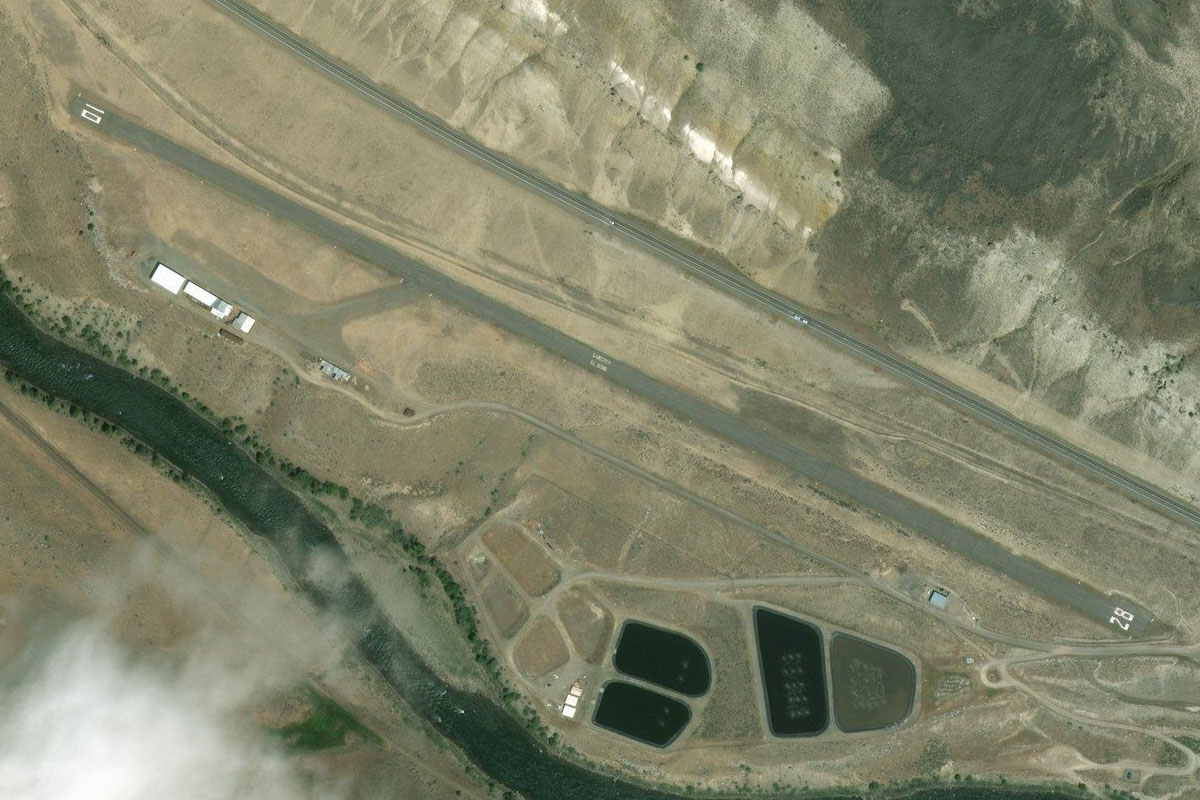
Black Diamond(POI7) to FY6(FY6)
Distance: 3.76NM Bearing: 237° 2 minutes
The airfield is just on the north side of the river
Leg 2
Flying from FY6
Leg Distance: 70.22 Approximate time at 125kts: 34 minutes.
FY6(FY6) to Longview(POI8)
Distance: 8.47NM Bearing: 137° 4 minutes
After takeoff, head south east until you meet highway 22 leading south to a small town
Longview(POI8) to Chain Lakes Reservoir(POI9)
Distance: 14.53NM Bearing: 166° 7 minutes
Follow the road south as it heads through a shallow valley and to the long Chain Lakes Reservoir
Chain Lakes Reservoir(POI9) to Highway 22(POI10)
Distance: 9.99NM Bearing: 156° 5 minutes
Keep following the reservoir and the road south
Highway 22(POI10) to Highway 22(POI11)
Distance: 10.2NM Bearing: 155° 5 minutes
The road will continue south through the valley
Highway 22(POI11) to Oldman River(POI12)
Distance: 16.48NM Bearing: 160° 8 minutes
The valley will soon open up and the road will meet the Oldman river. Follow the river as it heads south
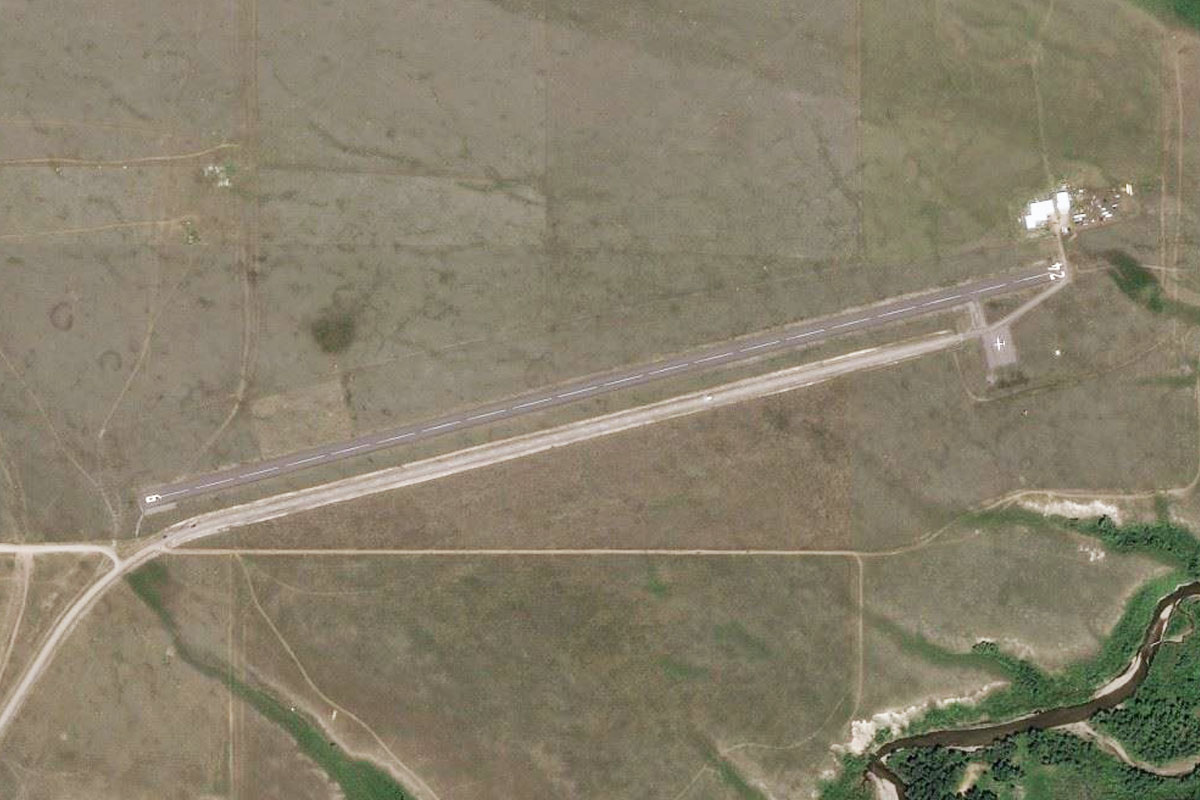
Oldman River(POI12) to CZPC(CZPC)
Distance: 10.55NM Bearing: 148° 5 minutes
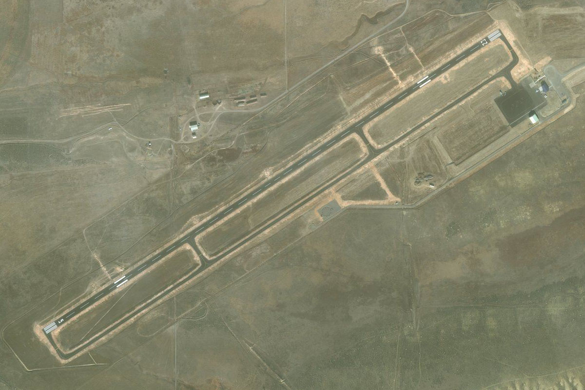
The river will lead to a reservoir. At the end of the southern arm of the reservoir sits Pincher Creek airstrip, just northwest of the town
Leg 3
Flying from CZPC
Leg Distance: 40.77 Approximate time at 125kts: 20 minutes.
CZPC(CZPC) to St. Mary Reservoir(POI13)
Distance: 29.55NM Bearing: 99° 14 minutes
Head southeast after taking off, in the direction of the distant mountain. You'll eventually see the large St Mary reservoir. Just before the reservoir is a highway that heads directly south to the town of Cardston
St. Mary Reservoir(POI13) to Cardston(POI14)
Distance: 8.14NM Bearing: 168° 4 minutes
Follow the highway south to the town, then turn to the south east
Cardston(POI14) to CEA6(CEA6)
Distance: 3.08NM Bearing: 119° 1 minutes
After heading south east for a couple of miles, you'll see the airfield sitting half way between the highway and the river
Leg 4
Flying from CEA6
Leg Distance: 34.66 Approximate time at 125kts: 17 minutes.
CEA6(CEA6) to Duck Lake Road(POI15)
Distance: 18.11NM Bearing: 164° 9 minutes
Head south from the airport. After about 9 miles you'll cross into the USA, then in another 9 miles you will come across a road winding its way south through the hills
Duck Lake Road(POI15) to Duck Lake Road(POI16)
Distance: 10.55NM Bearing: 144° 5 minutes
Keep following the road as it heads southeast towards the town of Browning. The road will have two river crossings, turn right at the second one and the airport will be ahead to the south
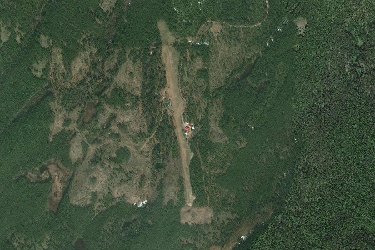
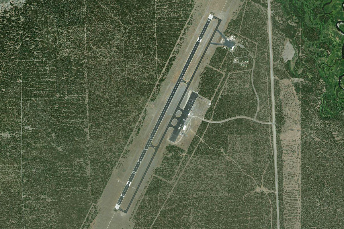
Duck Lake Road(POI16) to 8S0(8S0)
Distance: 6NM Bearing: 168° 3 minutes
Starr-Browning airport will be ahead, on the north side of the river
Leg 5
Flying from 8S0
Leg Distance: 46.52 Approximate time at 125kts: 22 minutes.
8S0(8S0) to Saint Mary Lake(POI17)
Distance: 15.53NM Bearing: 283° 7 minutes
Head west towards the mountains. Soon you will come to the long crescent shape of Saint Mary Lake
Saint Mary Lake(POI17) to Saint Mary Lake(POI18)
Distance: 6.18NM Bearing: 231° 3 minutes
Follow the lake southwest through the valley
Saint Mary Lake(POI18) to Logan Pass(POI19)
Distance: 5.04NM Bearing: 280° 2 minutes
After the lake, the valley will fork into two. Turn to the right and take the valley heading west. The lowest crossing point is Logan Pass, where you'll see the road heading to, with its visitor center and parking lot
Logan Pass(POI19) to McDonald Creek(POI20)
Distance: 2.12NM Bearing: 302° 1 minutes
After the pass, keep turning around the left to head southwest into the next valley
McDonald Creek(POI20) to McDonald Creek(POI21)
Distance: 2.64NM Bearing: 218° 1 minutes
Continue the gradual left turn through the valley which will soon reveal another lake ahead
McDonald Creek(POI21) to Lake Macdonald(POI22)
Distance: 11.97NM Bearing: 201° 6 minutes
Follow the lake southwest all the way to the southern end
Lake Macdonald(POI22) to 2MT1(2MT1)
Distance: 3.04NM Bearing: 151° 1 minutes
Turning southeast around the mountain base, you'll see Ryan Field a few miles ahead on top of a wooded hill, just south of the river
Leg 6
Flying from 2MT1
Leg Distance: 26.43 Approximate time at 125kts: 13 minutes.
2MT1(2MT1) to Hungry Horse(POI23)
Distance: 6.82NM Bearing: 200° 3 minutes
Head southwest after takeoff and you'll see US highway 2 and the Flathead River leading you west through a gap in the mountains
Hungry Horse(POI23) to Columbia Falls(POI24)
Distance: 4.91NM Bearing: 252° 2 minutes
Follow the river to the town of Columbia Falls ahead. From there, follow the river south
Columbia Falls(POI24) to Flathead River Bridge(POI25)
Distance: 9.8NM Bearing: 182° 5 minutes
Following the river south, you'll pass Glacier Park International Airport which lies to your right, and eventually come to a bridge crossing the river. this is State Hwy 35 and will take you into Kalispell
Flathead River Bridge(POI25) to Kalispell(POI26)
Distance: 3.29NM Bearing: 236° 2 minutes
Follow the road to the centre of town then the Kalispell City Airport will be off to your left
Kalispell(POI26) to S27(S27)
Distance: 1.61NM Bearing: 151° 1 minutes
The runway is pointing southeast alongside the highway
Leg 7
Flying from S27
Leg Distance: 52.77 Approximate time at 125kts: 25 minutes.
S27(S27) to Flathead Lake(POI27)
Distance: 7.59NM Bearing: 132° 4 minutes
Head south to the large lake – Flathead Lake
Flathead Lake(POI27) to Flathead Lake(POI28)
Distance: 22.79NM Bearing: 159° 11 minutes
Follow the lake south along its entire length. You'll see a golf course and a highway heading south at the other end
Flathead Lake(POI28) to 52S(52S)
Distance: 22.39NM Bearing: 164° 11 minutes
Keep following the highway south where it will pass between two lakes and onto the town of St Ignatius. The airfield is off to the left just before the town
Leg 8
Flying from 52S
Leg Distance: 43.74 Approximate time at 125kts: 21 minutes.
52S(52S) to National Bison Range(POI29)
Distance: 8.79NM Bearing: 279° 4 minutes
Head northwest back past the town and follow the creek that runs alongside the hills which are within the National Bison Range. The creek will turn south and meet up with the Flathead River
National Bison Range(POI29) to Dixon(POI30)
Distance: 3.89NM Bearing: 183° 2 minutes
Follow the river and its companion road south for just a few miles. When the river turns off to the west, we will turn left and follow the road heading east
Dixon(POI30) to US-93(POI31)
Distance: 5.64NM Bearing: 103° 3 minutes
Follow the road through the valley until it meets up with US Highway 93 heading southeast
US-93(POI31) to Arlee(POI32)
Distance: 10.05NM Bearing: 132° 5 minutes
Follow the road south east along the valley
Arlee(POI32) to I-90(POI33)
Distance: 11.56NM Bearing: 191° 6 minutes
Keep following the road south along the valley, where it will eventually cut through some hills and meet up with Interstate 90 that runs into Missoula
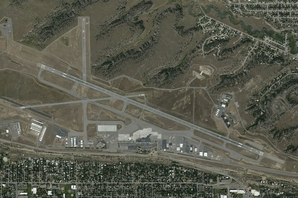
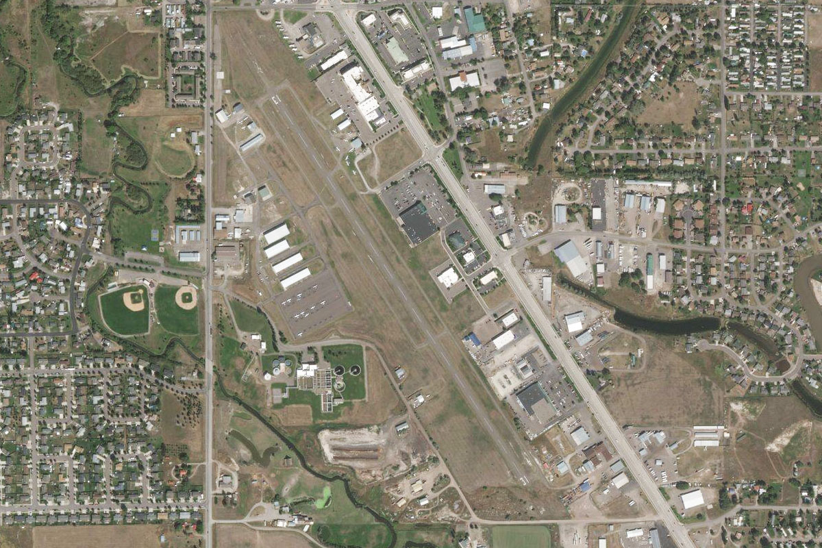
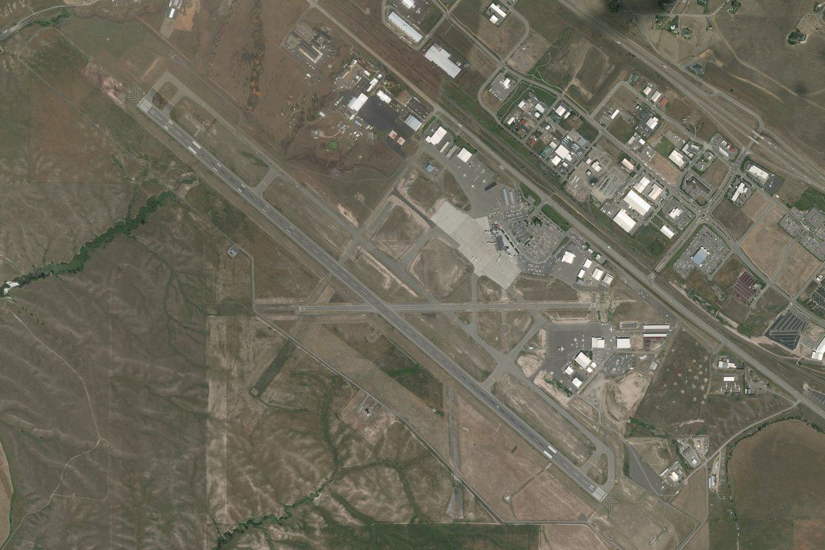
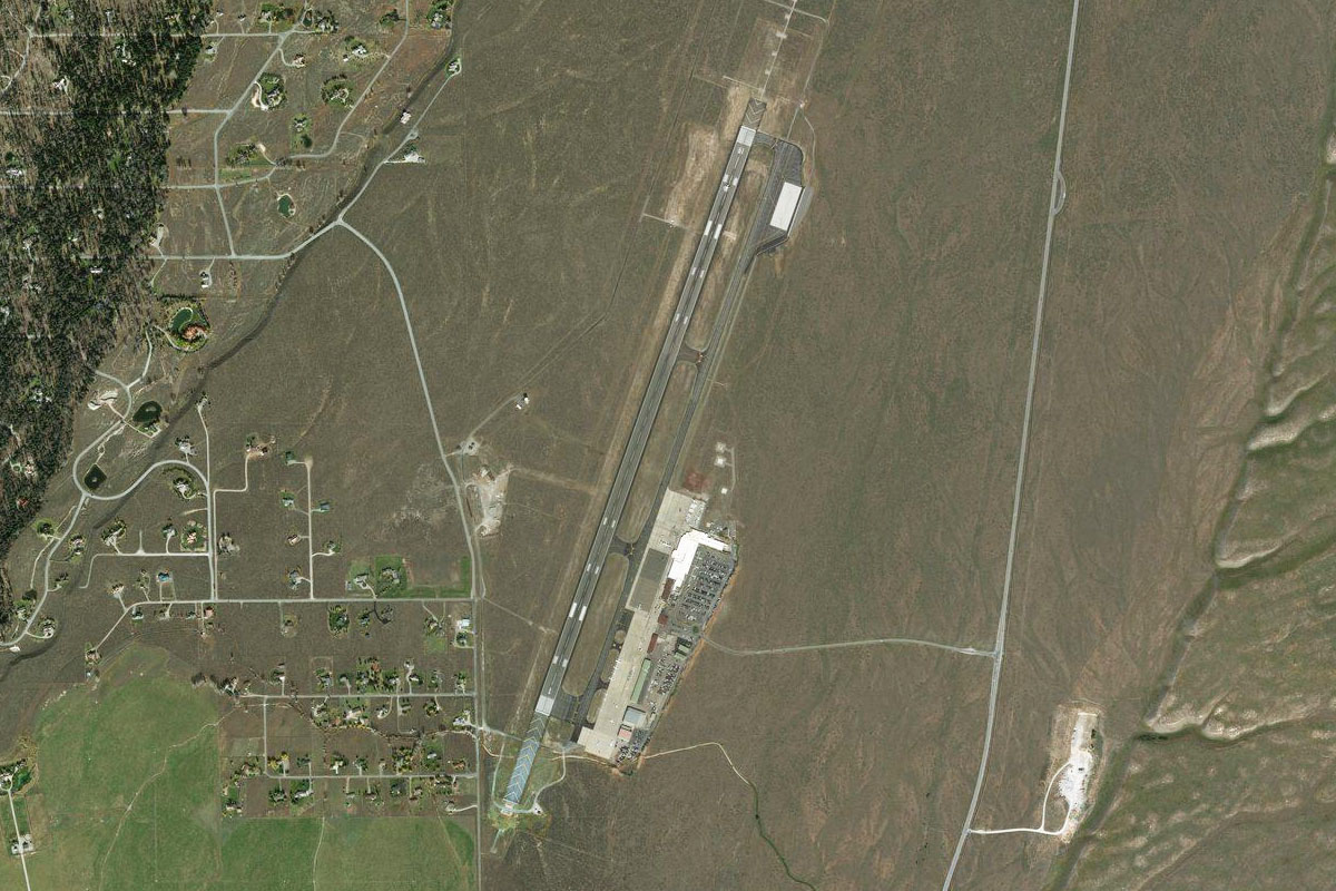
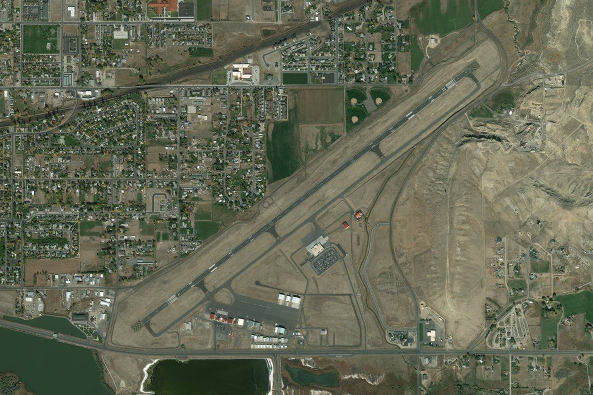
I-90(POI33) to KMSO(KMSO)
Distance: 3.81NM Bearing: 125° 2 minutes
Turn left at the interstate and you'll see Missoula Intl ahead
Leg 9
Flying from KMSO
Leg Distance: 61.78 Approximate time at 125kts: 30 minutes.
KMSO(KMSO) to Missoula(POI34)
Distance: 5.98NM Bearing: 109° 3 minutes
After takeoff, continue southeast along I-90 where it will curve its way into a valley
Missoula(POI34) to Canyon River GC(POI35)
Distance: 3.14NM Bearing: 65° 2 minutes
Continue following the interstate. It will pass a golf course and once again turn to the south east
Canyon River GC(POI35) to Clinton(POI36)
Distance: 9.03NM Bearing: 116° 4 minutes
Keep following I-90 south east
Clinton(POI36) to Rock Creek Confluence(POI37)
Distance: 3.44NM Bearing: 149° 2 minutes
Stay with I-90 as it turns sharply east around a mountain.
Rock Creek Confluence(POI37) to Clark Fork(POI38)
Distance: 14.83NM Bearing: 82° 7 minutes
Stay along the interstate until it clears the valley near a large rest area. From here we will leave the road and turn southeast
Clark Fork(POI38) to MT-1(POI39)
Distance: 9.46NM Bearing: 134° 5 minutes
Head southeast over the hills and then across the farmland to meet up with state highway 1 running south along the eastern side of the farmland
MT-1(POI39) to U05(U05)
Distance: 15.9NM Bearing: 182° 8 minutes
Follow the road south as it heads through a shallow valley to the town of Philipsburg, then the airfield is just beyond, to the left of the road
Leg 10
Flying from U05
Leg Distance: 44.67 Approximate time at 125kts: 21 minutes.
U05(U05) to Georgetown Lake(POI40)
Distance: 7.97NM Bearing: 156° 4 minutes
Head southeast from the town for about 8 miles and you will come to a large lake. From there follow the road heading east
Georgetown Lake(POI40) to Anaconda(POI41)
Distance: 15.8NM Bearing: 91° 8 minutes
Follow the road east as it curves between the hills towards the town of Anaconda
Anaconda(POI41) to I-90(POI42)
Distance: 10.54NM Bearing: 119° 5 minutes
Keep following the road as it merges with I-90 heading south east
I-90(POI42) to Butte(POI43)
Distance: 6.87NM Bearing: 81° 3 minutes
Follow the interstate east to the city of Butte
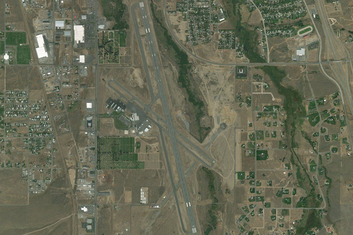
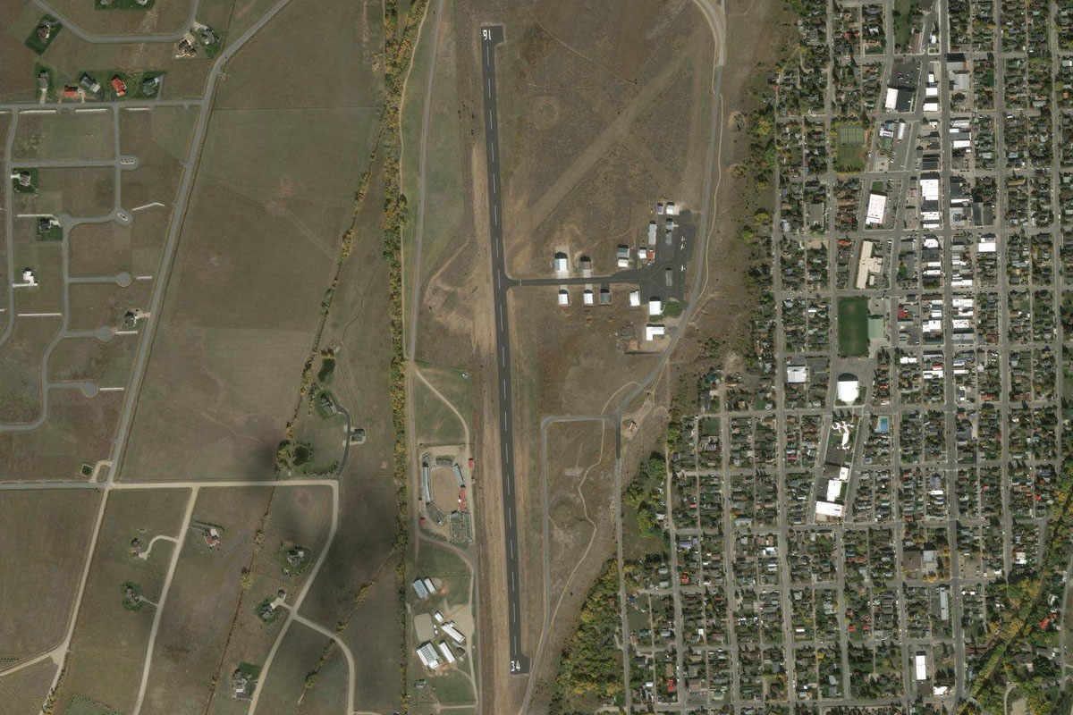
Butte(POI43) to KBTM(KBTM)
Distance: 3.49NM Bearing: 135° 2 minutes
The airport is a couple of miles south of the town
Leg 11
Flying from KBTM
Leg Distance: 67.88 Approximate time at 125kts: 33 minutes.
KBTM(KBTM) to Pipestone(POI44)
Distance: 9.73NM Bearing: 94° 5 minutes
Once airborne, track east to the interstate and follow it as it winds its way east through the hills
Pipestone(POI44) to Twin Bridges(POI45)
Distance: 20.55NM Bearing: 174° 10 minutes
After crossing the mountains, turn south and meet up with the river as it also makes its way south. The irrigated land will eventually split near the small town of twin bridges where we will turn left and follow the green path to the south east
Twin Bridges(POI45) to Adler(POI46)
Distance: 17.8NM Bearing: 135° 9 minutes
Near the end of this wide valley is the town of Adler, where the road turns to the east. Follow the road east over the hills
Adler(POI46) to Ennis(POI47)
Distance: 14.76NM Bearing: 77° 7 minutes
The road will take us just south of the town of Ennis. From here we turn to the south east towards the airport
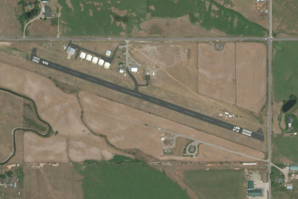
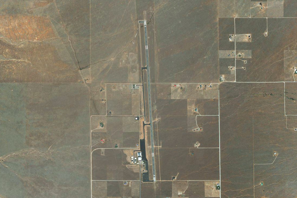
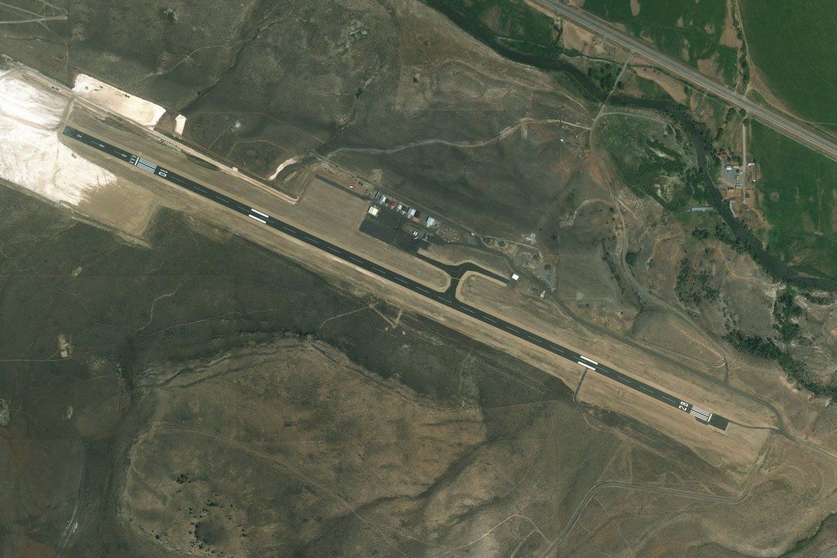
Ennis(POI47) to KEKS(KEKS)
Distance: 5.04NM Bearing: 116° 2 minutes
After crossing the Madison River, you'll find the airport slightly to the south near the base of the mountains
Leg 12
Flying from KEKS
Leg Distance: 45.82 Approximate time at 125kts: 22 minutes.
KEKS(KEKS) to Bear Creek(POI48)
Distance: 7.74NM Bearing: 144° 4 minutes
Head southeast towards the mountains and a group of circular crop fields
Bear Creek(POI48) to Sphinx Mountain(POI49)
Distance: 6.14NM Bearing: 92° 3 minutes
Turn to the east and head into the mountains, keeping the large peak of Sphinx Mountain to your left. Once you pass the peak, keep heading east and down to a valley that curves around to the southeast
Sphinx Mountain(POI49) to Nine Quarter Circle Ranch(POI50)
Distance: 7.71NM Bearing: 113° 4 minutes
As the valley opens out to a larger valley you'll come to a road heading east past the small airfield at Nine Quarter Circle Ranch
Nine Quarter Circle Ranch(POI50) to US-191(POI51)
Distance: 3.78NM Bearing: 72° 2 minutes
The road will continue east through a small valley and meet up with US Highway 191. Turn southeast and follow this highway
US-191(POI51) to US-191(POI52)
Distance: 5.86NM Bearing: 115° 3 minutes
Follow this road south east for 6 miles until it turns south at the intersection of Gallatin river and Specimen creek. From here, turn east towards the prominent Electric Peak in the distance
US-191(POI52) to Electric Peak(POI53)
Distance: 10.49NM Bearing: 74° 5 minutes
Maintain your altitude to cross the valley, you might need to turn slightly to the left to avoid the mountain ahead. Aim to pass by its northern face
Electric Peak(POI53) to 29S(29S)
Distance: 4.1NM Bearing: 60° 2 minutes
Once clear of the mountains, you'll need to drop quickly down into the valley leading to Gardiner Airport, which is just beside the river north of the town
Leg 13
Flying from 29S
Leg Distance: 59.59 Approximate time at 125kts: 29 minutes.
29S(29S) to Yellowstone River(POI54)
Distance: 4.67NM Bearing: 96° 2 minutes
After takeoff, follow the river southeast, passing the town of Gardiner and cutting into the valley ahead
Yellowstone River(POI54) to Junction Butte(POI55)
Distance: 11.57NM Bearing: 109° 6 minutes
Keep following the river as it winds through the mountains. Eventually the landscape will open up and the river will meet the Lamar river just north of a bridge crossing
Junction Butte(POI55) to Yellowstone River(POI56)
Distance: 8.65NM Bearing: 155° 4 minutes
Follow the river south as it enters the canyons of Yellowstone National Park
Yellowstone River(POI56) to Yellowstone River(POI57)
Distance: 4.53NM Bearing: 212° 2 minutes
Keep following the river as it curves around to the southwest
Yellowstone River(POI57) to Lower Yellowstone Falls(POI58)
Distance: 3.24NM Bearing: 241° 2 minutes
The valley will eventually shallow out and lead to the stunning Lower Falls of Yellowstone
Lower Yellowstone Falls(POI58) to Norris Geyser Basin(POI59)
Distance: 9.17NM Bearing: 266° 4 minutes
Heading west from the falls, you'll soon see a road leading past a small lake to another Yellowstone attraction, the Norris Geyser Basin
Norris Geyser Basin(POI59) to West Yellowstone(POI60)
Distance: 12.03NM Bearing: 256° 6 minutes
Heading west, the land will flatten out and the town of West Yellowstone should be to the southwest
West Yellowstone(POI60) to KWYS(KWYS)
Distance: 5.73NM Bearing: 237° 3 minutes
Yellowstone airport sits to the north of the town, near the southeastern tip of Hebgen Lake
Leg 14
Flying from KWYS
Leg Distance: 72.24 Approximate time at 125kts: 35 minutes.
KWYS(KWYS) to Grand Prismatic Spring(POI61)
Distance: 15.07NM Bearing: 114° 7 minutes
From Yellowstone airport, head southeast for about 15 miles and you'll reach a bare patch of landscape full of hot springs. At the south end of this area is the beautiful multicolored Grand Prismatic Spring
Grand Prismatic Spring(POI61) to Jackson Lake(POI62)
Distance: 33.41NM Bearing: 159° 16 minutes
Head south and you'll see the Grand Teton mountain range in the distance. Head to the left side of the mountains and you'll arrive at Jackson Lake
Jackson Lake(POI62) to Jackson Lake(POI63)
Distance: 11.51NM Bearing: 164° 6 minutes
Fly the length of Jackson Lake and continue south towards the Snake River
Jackson Lake(POI63) to KJAC(KJAC)
Distance: 12.25NM Bearing: 184° 6 minutes
Follow the river south and it will lead you straight to Jackson Hole airport
Leg 15
Flying from KJAC
Leg Distance: 50.14 Approximate time at 125kts: 24 minutes.
KJAC(KJAC) to Lower Slide Lake(POI64)
Distance: 10.26NM Bearing: 70° 5 minutes
Heading east from Jackson Hole, meet up with the Gros Ventre river and follow it through the hills towards Lower Slide Lake
Lower Slide Lake(POI64) to Upper Slide Lake(POI65)
Distance: 12.38NM Bearing: 103° 6 minutes
Keep following the Gros Ventre River as it heads southeast. Crystal creek will fork off to the south, but stay with the main river heading southeast through another shallow valley
Upper Slide Lake(POI65) to Fish Creek(POI66)
Distance: 3.85NM Bearing: 57° 2 minutes
As the valley widens out, another river will branch off and curve north east around a small mountain. Keep the mountain to your left and follow the river for a few miles until it splits into two.
Fish Creek(POI66) to Wind River(POI67)
Distance: 10.73NM Bearing: 52° 5 minutes
Don't take either fork, but fly northeast over the hills, passing to the south of the orange tinted Lava Mountain. From here the Wind River valley should be ahead, with the river and highway leading you southeast
Wind River(POI67) to KDUB(KDUB)
Distance: 12.92NM Bearing: 110° 6 minutes
As you follow the highway southeast, you'll soon see Dubois airport up ahead, just to the right of the road
Leg 16
Flying from KDUB
Leg Distance: 59.08 Approximate time at 125kts: 28 minutes.
KDUB(KDUB) to Black Mountain(POI68)
Distance: 23.05NM Bearing: 86° 11 minutes
Heading east from Dubois, you'll notice the large dome shape of Black Mountain dominating the landscape ahead. Pass to it's south as you turn slightly to the northeast around it
Black Mountain(POI68) to Owl Creek Mountains(POI69)
Distance: 23.73NM Bearing: 63° 11 minutes
After Black Mountain you'll see a large oval shaped rock formation on the ground ahead. Fly over this and northeast towards the mountains beyond
Owl Creek Mountains(POI69) to KHSG(KHSG)
Distance: 12.3NM Bearing: 52° 6 minutes
Once over the mountains and the lower hills beyond, continue northeast to the flat land, and the irrigated strip of land heading east. A long ridge runs along to the north of the river, and Hot Springs County Airport is at the eastern edge of the ridge
Leg 17
Flying from KHSG
Leg Distance: 56.45 Approximate time at 125kts: 27 minutes.
KHSG(KHSG) to Meeteetse(POI70)
Distance: 33.81NM Bearing: 313° 16 minutes
Head northwest and follow State Highway 120, which will wind its way northwest over the landscape, leading to the town of Meeteetse and beyond
Meeteetse(POI70) to KCOD(KCOD)
Distance: 22.64NM Bearing: 333° 11 minutes
Keep heading northwest along Highway 120 and it will take you directly to the Yellowstone Regional Airport at Cody
Leg 18
Flying from KCOD
Leg Distance: 54.56 Approximate time at 125kts: 26 minutes.
KCOD(KCOD) to WY-120(POI71)
Distance: 15.23NM Bearing: 316° 7 minutes
Leaving Cody, we head north west along Highway 120 as it passes in between the mountains of the Absaroka Wilderness to the west, and Heart Mountain to the east
WY-120(POI71) to Canyon Road(POI72)
Distance: 10NM Bearing: 344° 5 minutes
After passing Heart Mountain, head north until you cross the West Fork Yellowstone River, which will disappear into a valley to the west. Start turning northwest to the next valley, then head west along that valley
Canyon Road(POI72) to Deep Lake(POI73)
Distance: 7.91NM Bearing: 260° 4 minutes
Heading west and climbing through the canyon, you'll soon pass Deep Lake which sits high at the western end of the valley. The lake will point you northwest across the top of the mountains
Deep Lake(POI73) to Beartooth Highway(POI74)
Distance: 4.69NM Bearing: 326° 2 minutes
Heading northwest across the top of the mountains you'll soon come across Highway 212 – Beartooth Highway, before dropping down into the valley below
Beartooth Highway(POI74) to Beartooth Highway(POI75)
Distance: 8.07NM Bearing: 22° 4 minutes
As you follow the valley north east, you'll see the Beartooth Highway's spectacular descent down the eastern side of the valley
Beartooth Highway(POI75) to Beartooth Highway(POI76)
Distance: 2.2NM Bearing: 73° 1 minutes
Continue along the valley as it turns east
Beartooth Highway(POI76) to KRED(KRED)
Distance: 6.46NM Bearing: 15° 3 minutes
The valley will turn north and open out to the town of Red Lodge. The airport sits to the west of the town
Leg 19
Flying from KRED
Leg Distance: 48.58 Approximate time at 125kts: 23 minutes.
KRED(KRED) to HWY-212(POI77)
Distance: 19.14NM Bearing: 16° 9 minutes
Follow the highway and Rock Creek north as they gradually curve around to the northeast
HWY-212(POI77) to Laurel(POI78)
Distance: 16.91NM Bearing: 37° 8 minutes
Turn northeast as the highway makes its way to the town of Laurel, and the interchange with Interstate 90
Laurel(POI78) to KBIL(KBIL)
Distance: 12.53NM Bearing: 35° 6 minutes
I-90 will lead you northeast the city of Billings. The airport sits atop a plateau called the Rimrocks on the northern edge of the city