Stage 9 of the tour continues the journey through the natural beauty of the western USA and takes us back up to Canada, exploring the stunning Idaho wilderness and the beautiful Columbia River valley on the way to the famous volcanic peaks of Mount Hood, Mount St Helens and Mount Rainier. The final part of the stage will feature a look at the city of Seattle and a trip along the Fraser River in British Columbia, before finishing in Vancouver.
Total Legs: 24 Total Distance: 1216 Total Time(125kts): 9 hours 43 minutes
Leg 1
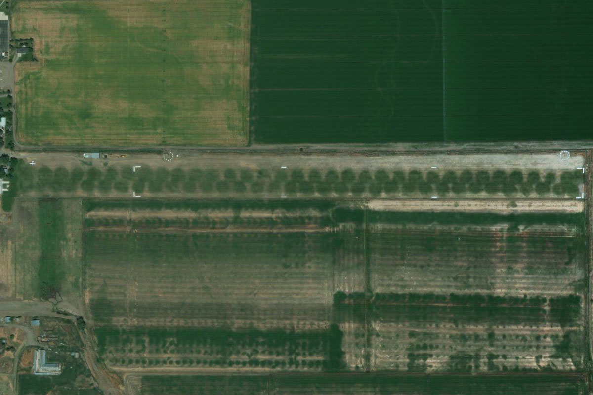
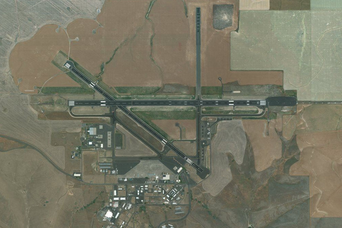
Flying from KSLC
Leg Distance: 55.5 Approximate time at 125kts: 27 minutes.
KSLC(KSLC) to Great Salt Lake(POI1)
Distance: 30.92NM Bearing: 321° 15 minutes
Head northwest over the Great Salt Lake, passing Antelope Island on the way
Great Salt Lake(POI1) to Willard Bay(POI2)
Distance: 14.95NM Bearing: 40° 7 minutes
After passing the smaller Fremont Island, turn northwest towards the Wasatch Mountain range. When you reach the large freshwater Willard Bay Reservoir, turn north
Willard Bay(POI2) to KBMC(KBMC)
Distance: 9.63NM Bearing: 344° 5 minutes
Brigham City lies next to interstate 15, at the foot of the tall and narrow Wellsville Mountains
Leg 2
Flying from KBMC
Leg Distance: 55.83 Approximate time at 125kts: 27 minutes.
KBMC(KBMC) to Plymouth(POI3)
Distance: 19.54NM Bearing: 335° 9 minutes
Head north after takeoff, past the Wellsville mountains, then turning slightly west to meet up with I-15 as it heads north
Plymouth(POI3) to Malad(POI4)
Distance: 19.82NM Bearing: 339° 10 minutes
Follow I-15 north past the town of Malad
Malad(POI4) to I-15(POI5)
Distance: 11.68NM Bearing: 358° 6 minutes
Keep following the highway as it passes through the hills
I-15(POI5) to U58(U58)
Distance: 4.79NM Bearing: 51° 2 minutes
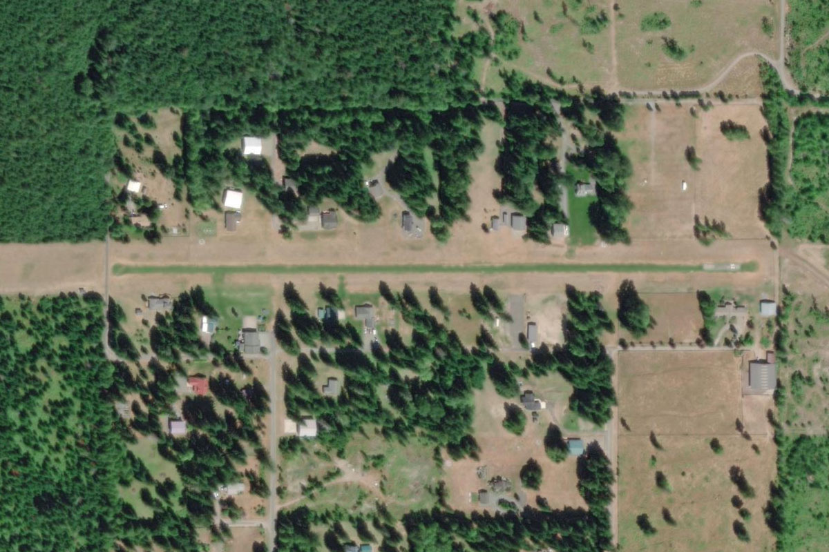
After passing the hills, head northeast to the airfield on the east side of the town of Downey
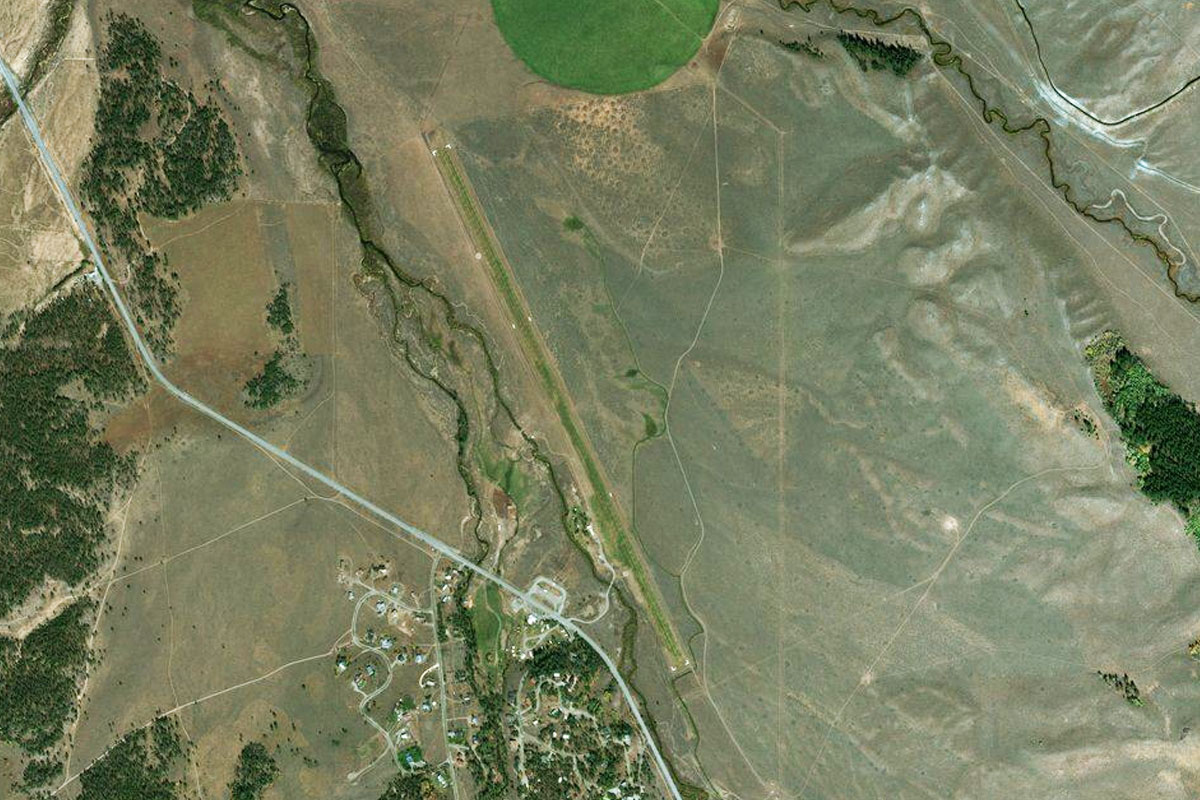
Leg 3
Flying from U58
Leg Distance: 53.75 Approximate time at 125kts: 26 minutes.
U58(U58) to Inkom(POI6)
Distance: 22.57NM Bearing: 334° 11 minutes
Follow I-15 northwest along the valley. At the end of the valley it will turn west
Inkom(POI6) to I-15(POI7)
Distance: 5.57NM Bearing: 265° 3 minutes
Follow the highway west through the hills
I-15(POI7) to Pocatello(POI8)
Distance: 9.45NM Bearing: 305° 5 minutes
The highway will turn northwest and pass to the east of Pocatello. Stay with the railway line through the western side of town
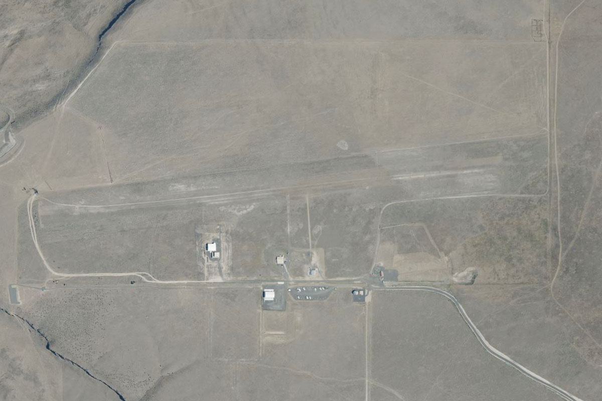
Pocatello(POI8) to U36(U36)
Distance: 16.16NM Bearing: 261° 8 minutes
Once the railway rounds the mountain, head west across the reservoir to Aberdeen airport 4 miles past the western shore.
Leg 4
Flying from U36
Leg Distance: 65.86 Approximate time at 125kts: 32 minutes.
U36(U36) to Water Tank Road(POI9)
Distance: 9.84NM Bearing: 258° 5 minutes
After takeoff, head west following the "crop grid" to the last irrigated field before bare land, then turn northwest
Water Tank Road(POI9) to Lava Field(POI10)
Distance: 27.65NM Bearing: 317° 13 minutes
Head northwest over the Craters of the Moon lava flow. You should be heading in the direction of the tallest peak in the distant mountains.
Lava Field(POI10) to Craters of the Moon(POI11)
Distance: 10.51NM Bearing: 311° 5 minutes
Still heading northwest, travel along the cinder cones of the Craters of the Moon National Monument, as they mark a path towards the base of the mountains.
Craters of the Moon(POI11) to US-93(POI12)
Distance: 15.12NM Bearing: 230° 7 minutes
Turn and follow US highway 93 southwest along the base of the mountains
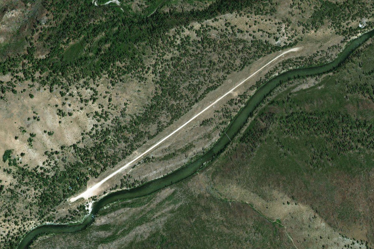
US-93(POI12) to U65(U65)
Distance: 2.74NM Bearing: 223° 1 minutes
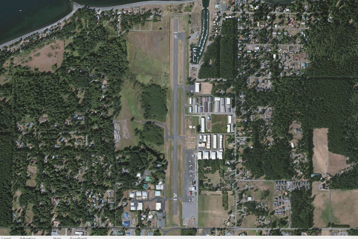
The highway will lead to the town of Carey, with the grass airstrip on the town's eastern edge
Leg 5
Flying from U65
Leg Distance: 59.43 Approximate time at 125kts: 29 minutes.
U65(U65) to US-20(POI13)
Distance: 3.43NM Bearing: 238° 2 minutes
Follow US highway 20 southwest from Carey as it cuts through the mountains
US-20(POI13) to ID-75(POI14)
Distance: 12.53NM Bearing: 295° 6 minutes
Turn northwest and fly along the base of the hills until you reach the highway, then follow it northwest into the Wood River valley
ID-75(POI14) to ID-75(POI15)
Distance: 24.2NM Bearing: 329° 12 minutes
Continue following the highway northwest. After passing the ski resort towns of Ketchum and Sun Valley, the road will start to climb into the Boulder Mountains
ID-75(POI15) to Cathedral Pines(POI16)
Distance: 4.09NM Bearing: 244° 2 minutes
Keep following the road as it turns southwest
Cathedral Pines(POI16) to Galena(POI17)
Distance: 8.15NM Bearing: 301° 4 minutes
The road will turn back to the northwest to the end of the valley at Galena
Galena(POI17) to Galena Summit(POI18)
Distance: 4.86NM Bearing: 267° 2 minutes
Turn west to follow the highway as it descends into the Sawtooth Valley from Galena Summit
Galena Summit(POI18) to U87(U87)
Distance: 2.17NM Bearing: 310° 1 minutes
A couple of miles into the valley is Smiley Creek airfield, next to the highway
Leg 6
Flying from U87
Leg Distance: 53.27 Approximate time at 125kts: 26 minutes.
U87(U87) to Redfish Lake(POI19)
Distance: 14.79NM Bearing: 327° 7 minutes
Fly northwest along the valley, past Redfish Lake
Redfish Lake(POI19) to Cape Horn Mountain(POI20)
Distance: 18.46NM Bearing: 312° 9 minutes
Continue northwest along the valley, following state highway 21
Cape Horn Mountain(POI20) to Bear Creek(POI21)
Distance: 4.07NM Bearing: 30° 2 minutes
At a junction of valleys where the highway turns away to the southwest, turn northeast and follow a smaller road climbing through another valley. After a few miles there will be a fork – take the right fork (northeast)
Bear Creek(POI21) to Beaver Creek(POI22)
Distance: 2.95NM Bearing: 61° 1 minutes
After just a mile or so, take the first valley to the left and head northeast
Beaver Creek(POI22) to Beaver Creek(POI23)
Distance: 1.91NM Bearing: 24° 1 minutes
Again, after just a couple of miles, there will be another junction where the small road turns north. Take the right valley to the northeast
Beaver Creek(POI23) to Trail Creek(POI24)
Distance: 2.57NM Bearing: 44° 1 minutes
A short leg continuing northeast will take you to a small mountain pass, and then down into another valley
Trail Creek(POI24) to Trail Creek(POI25)
Distance: 2.01NM Bearing: 17° 1 minutes
Head north down the new valley to where it will turn east. Pinyon Peak dominates the skyline ahead
Trail Creek(POI25) to Diamond D Ranch(POI26)
Distance: 3.38NM Bearing: 69° 2 minutes
Head east while descending along the valley to another valley junction at Diamond D Ranch
Diamond D Ranch(POI26) to U72(U72)
Distance: 3.13NM Bearing: 14° 2 minutes
Heading north from the ranch, you should see the airstrip a few miles ahead along the right hand curve of the valley
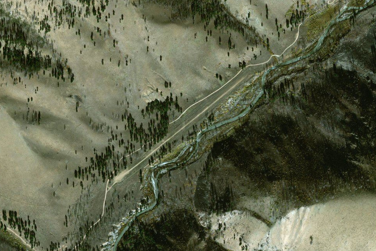
Leg 7
Flying from U72
Leg Distance: 16.21 Approximate time at 125kts: 8 minutes.
U72(U72) to Loon Creek(POI27)
Distance: 4.1NM Bearing: 41° 2 minutes
Head northeast along the valley, following Loon Creek
Loon Creek(POI27) to Loon Creek(POI28)
Distance: 2.37NM Bearing: 357° 1 minutes
Continue north along the valley
Loon Creek(POI28) to Loon Creek(POI29)
Distance: 5.38NM Bearing: 308° 3 minutes
Follow the valley around to the northwest, overflying the small Falconberry Landing Strip along the way
Loon Creek(POI29) to Loon Creek(POI30)
Distance: 3.46NM Bearing: 3° 2 minutes
Stay with the creek and valley as it turns to the north. The next airfield is just around the corner at the end of this valley so you will need to be low and slow
Loon Creek(POI30) to C53(C53)
Distance: 0.9NM Bearing: 316° 0 minutes
A turn northwest around a large hill will reveal the airfield ahead. Beware of the short 1200ft runway
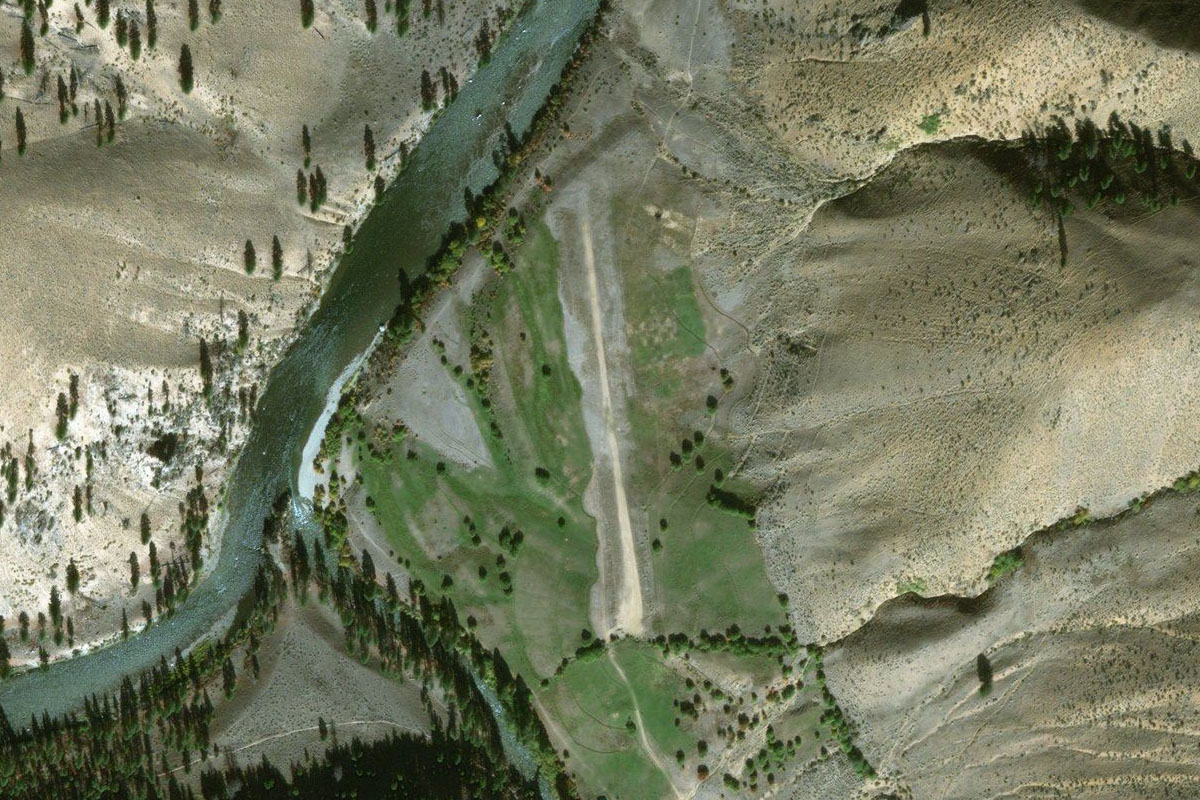
Leg 8
Flying from C53
Leg Distance: 16.11 Approximate time at 125kts: 8 minutes.
C53(C53) to Salmon River(POI31)
Distance: 7.84NM Bearing: 217° 4 minutes
The first leg of this flight is to the southwest, along the middle fork of the Salmon River, but you may need to first fly northeast to have enough room to turn around in the valley
Salmon River(POI31) to Salmon River(POI32)
Distance: 2.47NM Bearing: 251° 1 minutes
After overflying a dirt airstrip, follow the valley around to the west where you will pass another dirt strip before a sharp turn north
Salmon River(POI32) to Salmon River(POI33)
Distance: 2.29NM Bearing: 310° 1 minutes
Fly northwest over the river's switchbacks before it continues in a more orderly fashion along the valley
Salmon River(POI33) to Salmon River(POI34)
Distance: 2.42NM Bearing: 291° 1 minutes
Keep following the river valley northwest. The next airstrip is around the next corner so watch your speed and altitude
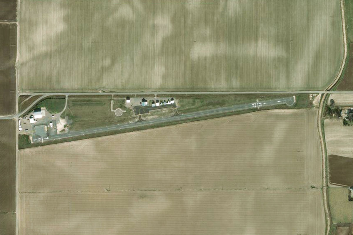
Salmon River(POI34) to S81(S81)
Distance: 1.09NM Bearing: 222° 1 minutes
A tight turn to the southwest will point you to the US Forest Service's Indian Creek airstrip
Leg 9
Flying from S81
Leg Distance: 16.43 Approximate time at 125kts: 8 minutes.
S81(S81) to Pistol Creek Ranch(POI35)
Distance: 2.62NM Bearing: 212° 1 minutes
Head southwest along the valley, past another landing strip next to the river
Pistol Creek Ranch(POI35) to Greyhound Campsite(POI36)
Distance: 4.87NM Bearing: 175° 2 minutes
Turn south after the landing strip and continue following the Salmon River
Greyhound Campsite(POI36) to Big Bend Campsite(POI37)
Distance: 5.36NM Bearing: 231° 3 minutes
At the next junction, follow the Salmon River to the southwest. Gain some altitude so you can cut the river's many corners
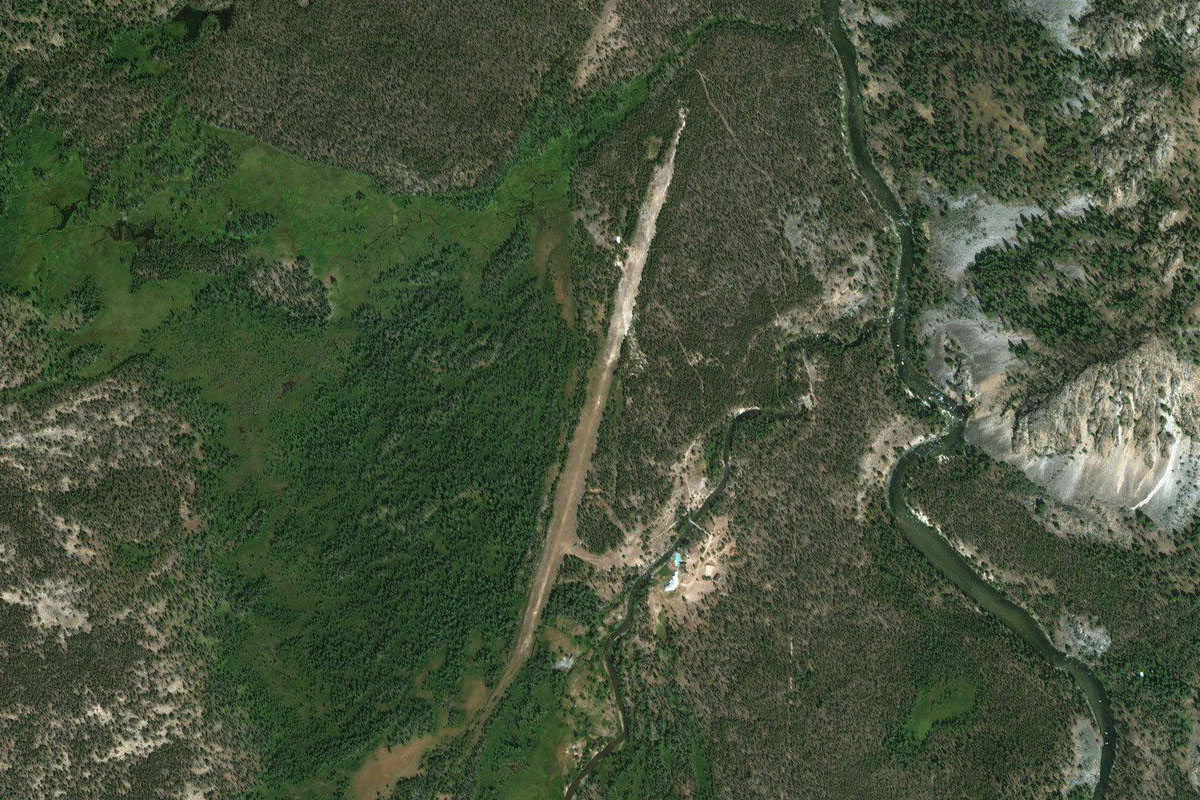
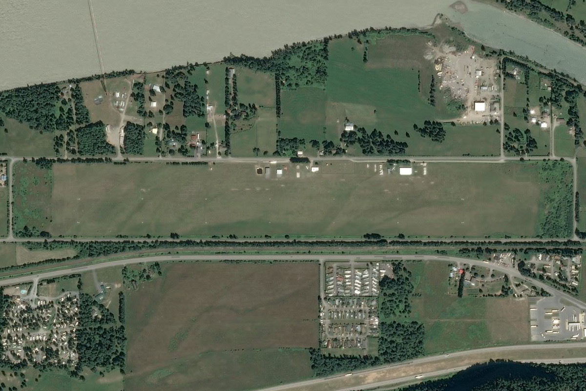
Big Bend Campsite(POI37) to 02ID(02ID)
Distance: 3.58NM Bearing: 186° 2 minutes
The river will turn south and lead you to Morgan Ranch airfield
Leg 10
Flying from 02ID
Leg Distance: 47.05 Approximate time at 125kts: 23 minutes.
02ID(02ID) to Sulphur Creek(POI38)
Distance: 6.27NM Bearing: 255° 3 minutes
After takeoff head west along the valley, climbing along the way so you can leave the valleys and head directly west over the mountains
Sulphur Creek(POI38) to Cascade Reservoir(POI39)
Distance: 27.94NM Bearing: 273° 13 minutes
Head west over the mountains until you meet the eastern shore of the large Cascade Reservoir, then turn north
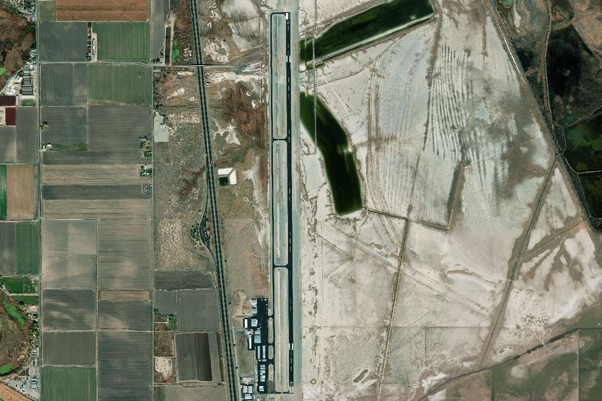
Cascade Reservoir(POI39) to KMYL(KMYL)
Distance: 12.84NM Bearing: 343° 6 minutes
When you meet state highway 55 on the northern side of the reservoir, follow it to the town of McCall, and the airport at the town's southern edge
Leg 11
Flying from KMYL
Leg Distance: 73.46 Approximate time at 125kts: 35 minutes.
KMYL(KMYL) to Wallowa Mountains(POI40)
Distance: 48.75NM Bearing: 273° 23 minutes
Head directly west after takeoff. This long leg will take you over the Snake River and to the southern area of the Wallowa Mountains. A large valley along the south of the range will lead you into the mountains. You'll be crossing over the higher parts of the range at about 8000 feet
Wallowa Mountains(POI40) to Minam River(POI41)
Distance: 8.49NM Bearing: 278° 4 minutes
Passing by some of the taller peaks in the area, continue west over some higher terrain into another large valley which is heading northwest
Minam River(POI41) to Minam River(POI42)
Distance: 7.33NM Bearing: 297° 4 minutes
Follow the Minam River Valley and descend as it heads northwest
Minam River(POI42) to Minam River(POI43)
Distance: 6.52NM Bearing: 325° 3 minutes
Continue along the valley northwest
Minam River(POI43) to 7OR0(7OR0)
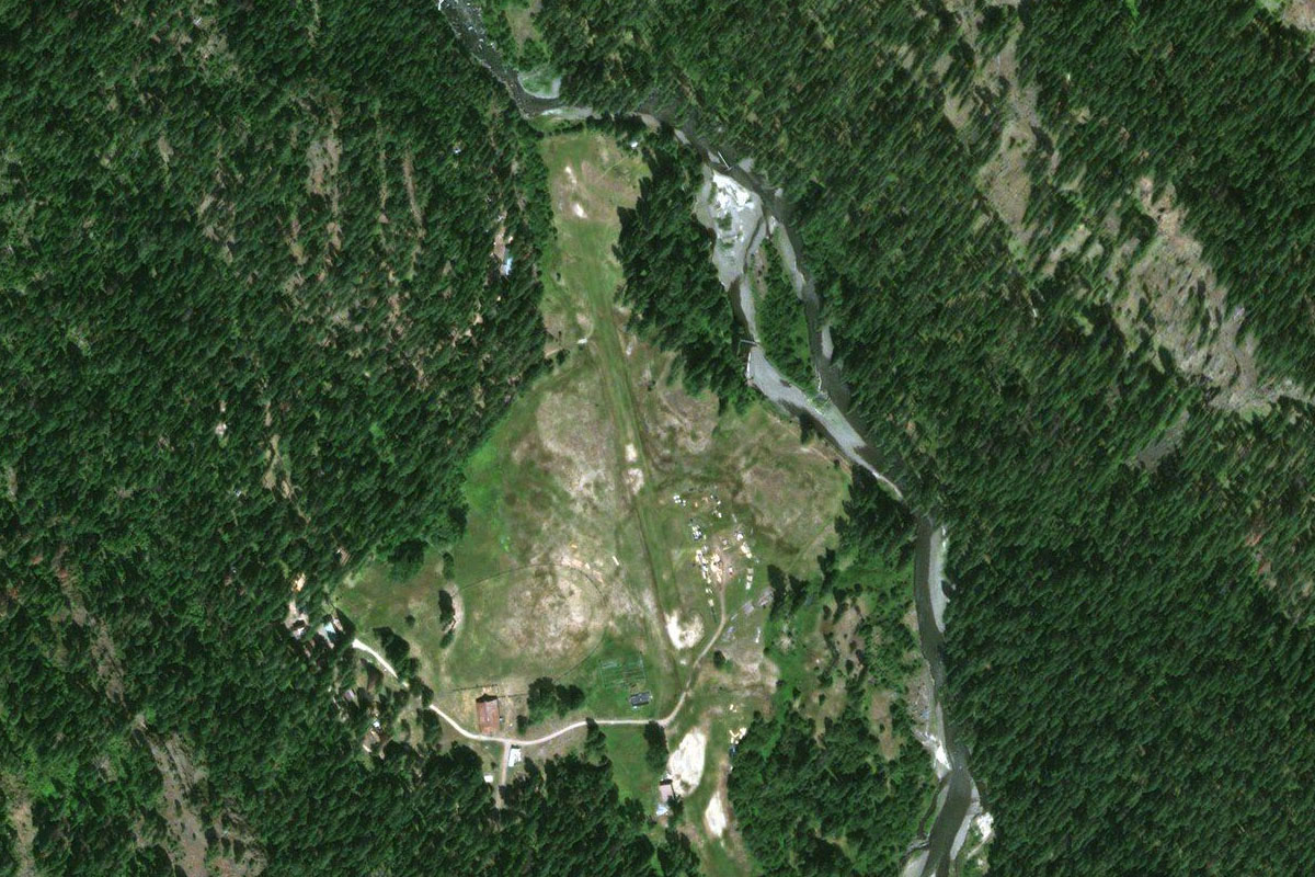
Distance: 2.37NM Bearing: 288° 1 minutes
At a left-right kink in the valley, you'll see two airfields. Land at the second one where the river turns north (Minam Lodge)
Leg 12
Flying from 7OR0
Leg Distance: 57.54 Approximate time at 125kts: 28 minutes.
7OR0(7OR0) to Minam River(POI44)
Distance: 7.17NM Bearing: 325° 3 minutes
After takeoff, head north along the valley, gaining enough altitude to turn to the west out of the valley
Minam River(POI44) to I-84(POI45)
Distance: 33.11NM Bearing: 270° 16 minutes
When you are able to, turn west and head out of the valley. You will cross the Grande Ronde River before crossing the Blue Mountains where you will meet Interstate highway 84 heading west to Pendleton. Follow the highway
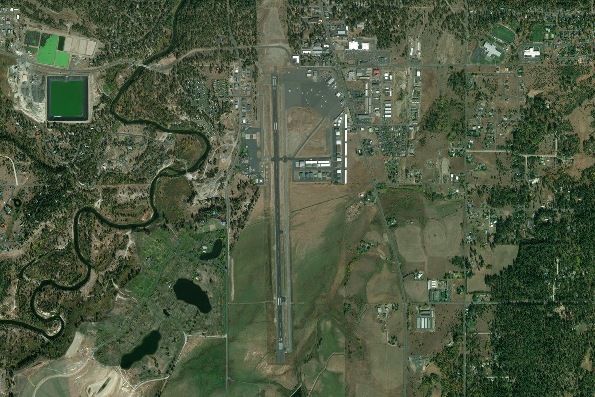
I-84(POI45) to KPDT(KPDT)
Distance: 17.26NM Bearing: 278° 8 minutes
The airport lies northwest of the town
Leg 13
Flying from KPDT
Leg Distance: 59.18 Approximate time at 125kts: 28 minutes.
KPDT(KPDT) to Columbia River(POI46)
Distance: 36.85NM Bearing: 271° 18 minutes
Head west after takeoff to meet up with the interstate, then follow it west to the mighty Columbia River
Columbia River(POI46) to Columbia River(POI47)
Distance: 18.55NM Bearing: 242° 9 minutes
Follow the Columbia River southwest
Columbia River(POI47) to 1S8(1S8)
Distance: 3.78NM Bearing: 200° 2 minutes
Once you reach the large wind farm on the south side of the river, look for the small town of Arlington with the airport at its eastern edge
Leg 14
Flying from 1S8
Leg Distance: 46.74 Approximate time at 125kts: 22 minutes.
1S8(1S8) to Columbia River(POI48)
Distance: 13.09NM Bearing: 248° 6 minutes
Continue southwest along the river
Columbia River(POI48) to Miller Island(POI49)
Distance: 17.87NM Bearing: 248° 9 minutes
Keep following the river southwest, past the wider section of Lake Celilo and Miller Island
Miller Island(POI49) to The Dalles(POI50)
Distance: 11.9NM Bearing: 247° 6 minutes
Continue southwest and overfly the Columbia River Regional Airport, which sits inside a large curve in the river. One of Oregon's most recognized landmarks, the stratovolcano of Mount Hood, is in the distance
The Dalles(POI50) to 6OR2(6OR2)
Distance: 3.88NM Bearing: 246° 2 minutes
Keep heading southwest over the airport towards a small valley ahead, which is across the river and tucked behind a hill. The airpark is next to the road in the valley
Leg 15
Flying from 6OR2
Leg Distance: 59.93 Approximate time at 125kts: 29 minutes.
6OR2(6OR2) to Columbia River(POI51)
Distance: 6.92NM Bearing: 300° 3 minutes
After takeoff, head northwest back to the river
Columbia River(POI51) to Columbia River Gorge(POI52)
Distance: 18.12NM Bearing: 258° 9 minutes
Follow the river west along the Columbia River Gorge
Columbia River Gorge(POI52) to Columbia River Gorge(POI53)
Distance: 18.73NM Bearing: 226° 9 minutes
Continue along the river as it turns southwest and passes the Bonneville Lock and Dam complex. Further along you will pass the picturesque and popular Multnomah Falls, best viewed from the ground
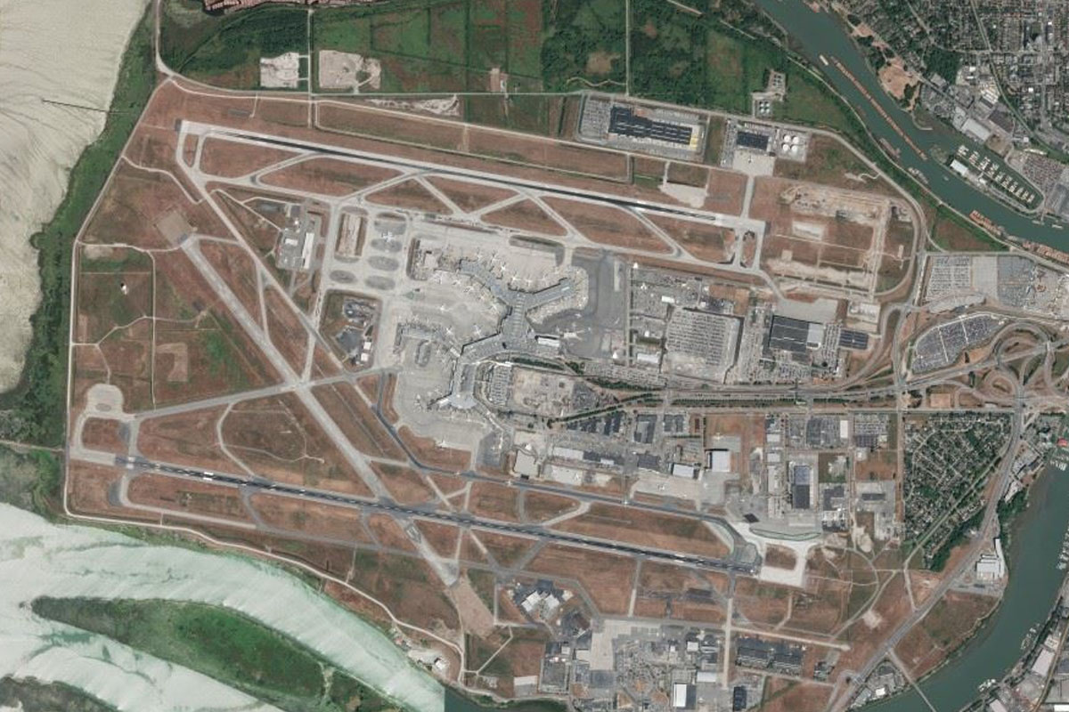
Columbia River Gorge(POI53) to KPDX(KPDX)
Distance: 16.16NM Bearing: 264° 8 minutes
Continue west along the river to Oregon's major airport, Portland International
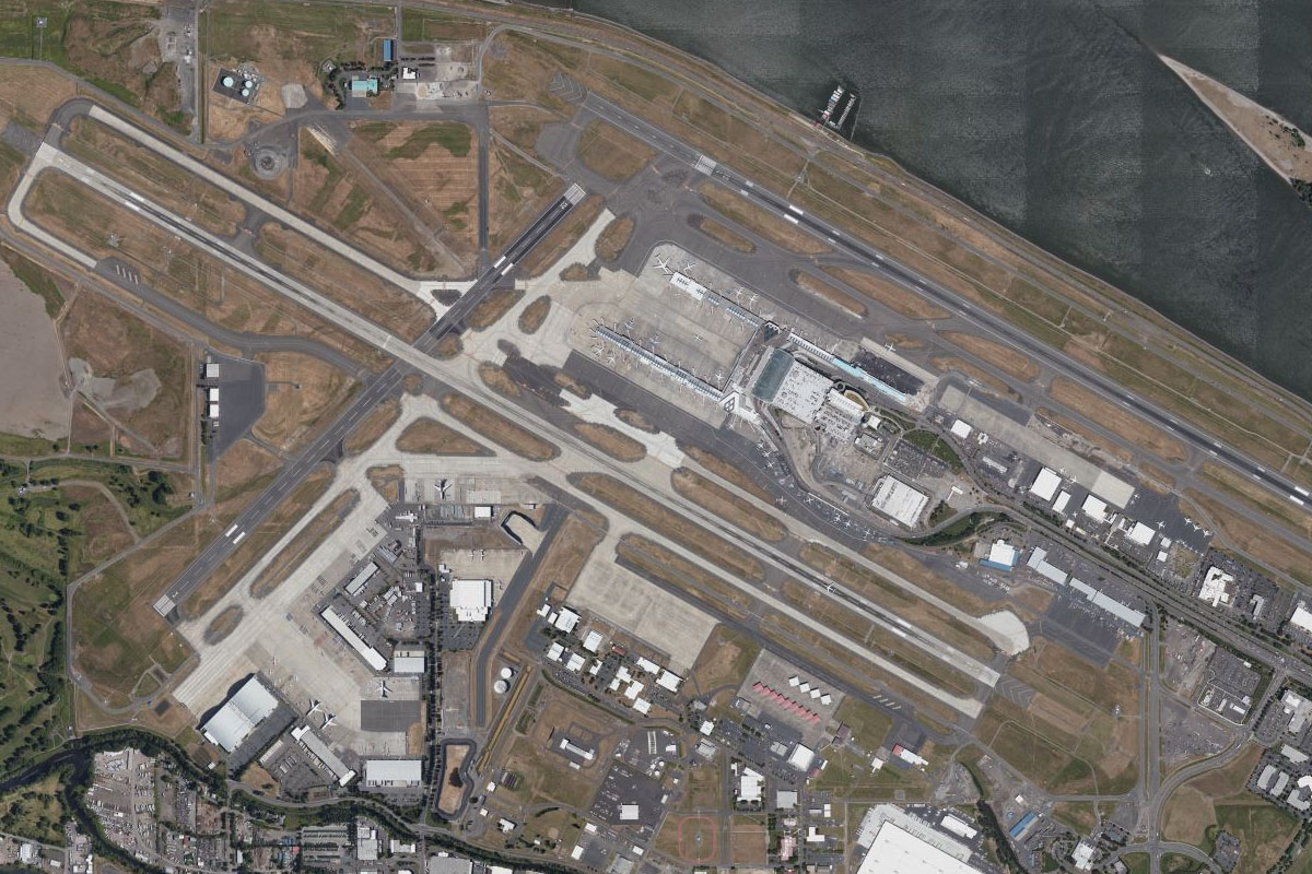
Leg 16
Flying from KPDX
Leg Distance: 60.66 Approximate time at 125kts: 29 minutes.
KPDX(KPDX) to Mount St Helens(POI54)
Distance: 40.49NM Bearing: 10° 19 minutes
After takeoff, turn north and head for Mount St Helens, famous for its major eruption in 1980 which reduced the summit height by 400 feet
Mount St Helens(POI54) to WN55(WN55)
Distance: 20.17NM Bearing: 7° 10 minutes
From the mountain peak, continue north over spirit lake then use the valleys ahead to descend into the Cowlitz River valley. The airfield sits just to the north of the river
Leg 17
Flying from WN55
Leg Distance: 52.85 Approximate time at 125kts: 25 minutes.
WN55(WN55) to Mount Rainier(POI55)
Distance: 23.56NM Bearing: 16° 11 minutes
After takeoff, head north to another famous peak, Mount Rainier. Along with Seattle, it serves as a symbol of Washington State. Aim for the secondary peak on the mountain's eastern side, Little Tahoma, which is just over 11000 feet in elevation
Mount Rainier(POI55) to Mount Rainier(POI56)
Distance: 2.78NM Bearing: 302° 1 minutes
Make a left circuit around the mountain
Mount Rainier(POI56) to Alder Lake(POI57)
Distance: 20.69NM Bearing: 237° 10 minutes
Head southwest from the mountain to Alder Lake in the distance
Alder Lake(POI57) to 2W3(2W3)
Distance: 5.82NM Bearing: 337° 3 minutes
North of the lake is the town of Eatonville, with the airport on the eastern edge of town
Leg 18
Flying from 2W3
Leg Distance: 31.14 Approximate time at 125kts: 15 minutes.
2W3(2W3) to Lake Kapowsin(POI58)
Distance: 6.31NM Bearing: 349° 3 minutes
Head north to a group of lakes, then turn northwest
Lake Kapowsin(POI58) to Tacoma(POI59)
Distance: 19.18NM Bearing: 321° 9 minutes
Head northwest to the city of Tacoma. A flyover of the industrial area at the mouth of the canal should give a good view of the Tacoma Dome and downtown
Tacoma(POI59) to KTIW(KTIW)
Distance: 5.65NM Bearing: 255° 3 minutes
After passing the city, turn west and head to the Tacoma Narrows Bridge, which is just a mile east of the airport
Leg 19
Flying from KTIW
Leg Distance: 39.86 Approximate time at 125kts: 19 minutes.
KTIW(KTIW) to WA-16(POI60)
Distance: 12.83NM Bearing: 336° 6 minutes
After takeoff, head north to meet state highway 16, then follow as it heads north
WA-16(POI60) to Bremerton(POI61)
Distance: 4.57NM Bearing: 341° 2 minutes
When the highway turns back to the northwest, head straight for the city of Bremerton and the Puget Sound Naval Shipyard
Bremerton(POI61) to Seattle Yacht Club(POI62)
Distance: 11.06NM Bearing: 51° 5 minutes
After a look at the shipyard, turn northeast and head for the large marina of the Seattle Yacht Club, which is just north of Seattle
Seattle Yacht Club(POI62) to Seattle(POI63)
Distance: 2.32NM Bearing: 126° 1 minutes
Turn southwest and follow the shore past Seattle. To the left you'll get a great view of the Space Needle and the downtown area. Some of the buildings behind the Space Needle house the corporate offices and HQ of giant online retailer Amazon
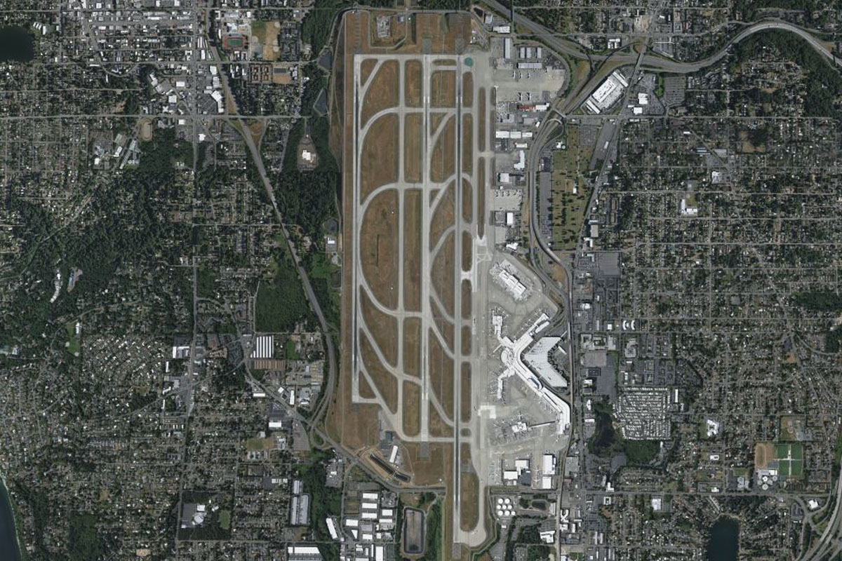
Seattle(POI63) to KSEA(KSEA)
Distance: 9.08NM Bearing: 155° 4 minutes
Turning south towards Seattle-Tacoma International Airport, there'll be more great views of the city and major stadiums as you fly over the container terminal
Leg 20
Flying from KSEA
Leg Distance: 33.09 Approximate time at 125kts: 16 minutes.
KSEA(KSEA) to Renton(POI64)
Distance: 4.81NM Bearing: 41° 2 minutes
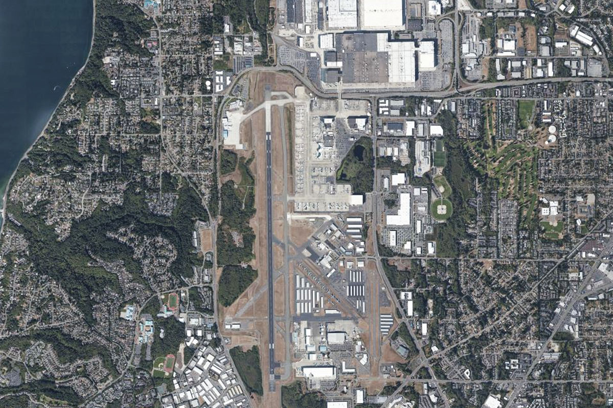
Head northeast after takeoff, and over Renton Airport for a quick look at the Boeing Factory, the main manufacturing facility for the 737
Renton(POI64) to Bellevue(POI65)
Distance: 8.24NM Bearing: 352° 4 minutes
Head north from Renton and follow the I-405 freeway to the city of Belleview. Just north of the city is an interchange with state highway 520. Turn and follow it east
Bellevue(POI65) to WA-520(POI66)
Distance: 1.48NM Bearing: 76° 1 minutes
Follow the freeway as it heads east, then curves around to the north
WA-520(POI66) to Microsoft(POI67)
Distance: 1.07NM Bearing: 24° 1 minutes
The freeway will head north through a large technology park belonging to Microsoft, with their corporate HQ here in Redmond
Microsoft(POI67) to Kirkland(POI68)
Distance: 3.11NM Bearing: 306° 1 minutes
After passing the Microsoft business park, turn northwest and back over to the I-405, then follow it north
Kirkland(POI68) to Bothell(POI69)
Distance: 4.51NM Bearing: 343° 2 minutes
Follow I-405 north to the interchange at Bothell
Bothell(POI69) to Lynnwood(POI70)
Distance: 5.35NM Bearing: 309° 3 minutes
Continue following I-405 northwest to Lynnwood
Lynnwood(POI70) to KPAE(KPAE)
Distance: 4.52NM Bearing: 337° 2 minutes
From the large interchange with Interstate 5, head north to Paine Field which is home to the Boeing Everett Factory – the largest building in the world by volume
Leg 21
Flying from KPAE
Leg Distance: 55.42 Approximate time at 125kts: 27 minutes.
KPAE(KPAE) to Hat Island(POI71)
Distance: 6.62NM Bearing: 330° 3 minutes
Head north to the small island, Hat Island, after takeoff
Hat Island(POI71) to Camano Island(POI72)
Distance: 12.61NM Bearing: 316° 6 minutes
From Hat Island, continue northwest along the length of Camano Island
Camano Island(POI72) to Deception Pass(POI73)
Distance: 14.16NM Bearing: 320° 7 minutes
Continue northwest to the northern end of Whidbey Island, passing by the Naval Air Station
Deception Pass(POI73) to Decatur Island(POI74)
Distance: 9.05NM Bearing: 294° 4 minutes
Turn more to the west and head for Decatur Island
Decatur Island(POI74) to KORS(KORS)
Distance: 12.98NM Bearing: 325° 6 minutes
Turn back to the northwest and pass to the west side of Blakely Island and along the large inlet of East Sound, at the end of which lies the airport
Leg 22
Flying from KORS
Leg Distance: 68.89 Approximate time at 125kts: 33 minutes.
KORS(KORS) to Sandy Point(POI75)
Distance: 9.37NM Bearing: 44° 4 minutes
Head northeast across the Strait of Georgia to Sandy Point
Sandy Point(POI75) to Chilliwack(POI76)
Distance: 35.82NM Bearing: 39° 17 minutes
Continue northeast across land and into the wide, flat valley ahead
Chilliwack(POI76) to Fraser River(POI77)
Distance: 20.3NM Bearing: 32° 10 minutes
Meet up with the Fraser River heading northeast into the narrowing valley
Fraser River(POI77) to CYHE(CYHE)
Distance: 3.4NM Bearing: 65° 2 minutes
A right turn in the valley will lead you to the town of Hope and the grass airstrip to its west
Leg 23
Flying from CYHE
Leg Distance: 76.38 Approximate time at 125kts: 37 minutes.
CYHE(CYHE) to Hope(POI78)
Distance: 3.39NM Bearing: 36° 2 minutes
Head northeast along the river past the town to your right
Hope(POI78) to Hell’s Gate(POI79)
Distance: 22.64NM Bearing: 343° 11 minutes
Fly north along the Fraser Canyon to Hell's Gate, a narrow section of the river and popular tourist attraction
Hell’s Gate(POI79) to Fraser Canyon(POI80)
Distance: 12.33NM Bearing: 335° 6 minutes
Continue north along the canyon as it gradually turns to the northwest and opens up. Another valley will soon open up to the west. Head down this valley
Fraser Canyon(POI80) to Hannah Lake(POI81)
Distance: 7.32NM Bearing: 268° 4 minutes
Now heading west following the Nahatlatch River, you'll come to a chain of lakes where it turns southwest
Hannah Lake(POI81) to Nahatlatch River(POI82)
Distance: 12.82NM Bearing: 229° 6 minutes
Follow the river as it heads southwest
Nahatlatch River(POI82) to Mount Widdess(POI83)
Distance: 2.48NM Bearing: 224° 1 minutes
As the river makes a southern detour around Mount Widdess, you will come to another valley junction. Turn left and follow the smaller river southwest
Mount Widdess(POI83) to Big Bend Peak(POI84)
Distance: 1.95NM Bearing: 219° 1 minutes
Follow the river as it curves around to the right
Big Bend Peak(POI84) to Big Bend Peak(POI85)
Distance: 3.02NM Bearing: 282° 1 minutes
Climb with the valley as it heads west to a dead end. Just before the end you will see an opening to the left leading to another valley
Big Bend Peak(POI85) to Douglas Creek(POI86)
Distance: 1.06NM Bearing: 206° 1 minutes
Head south into the next valley, then follow it southeast
Douglas Creek(POI86) to Douglas Creek(POI87)
Distance: 5.37NM Bearing: 148° 3 minutes
Follow the valley as it descends southeast
Douglas Creek(POI87) to CBB7(CBB7)
Distance: 4NM Bearing: 183° 2 minutes
Follow the valley as it turns south before opening out at the mouth of the river. Tipella airstrip is on the other side running along the base of the mountain
Leg 24
Flying from CBB7
Leg Distance: 61.59 Approximate time at 125kts: 30 minutes.
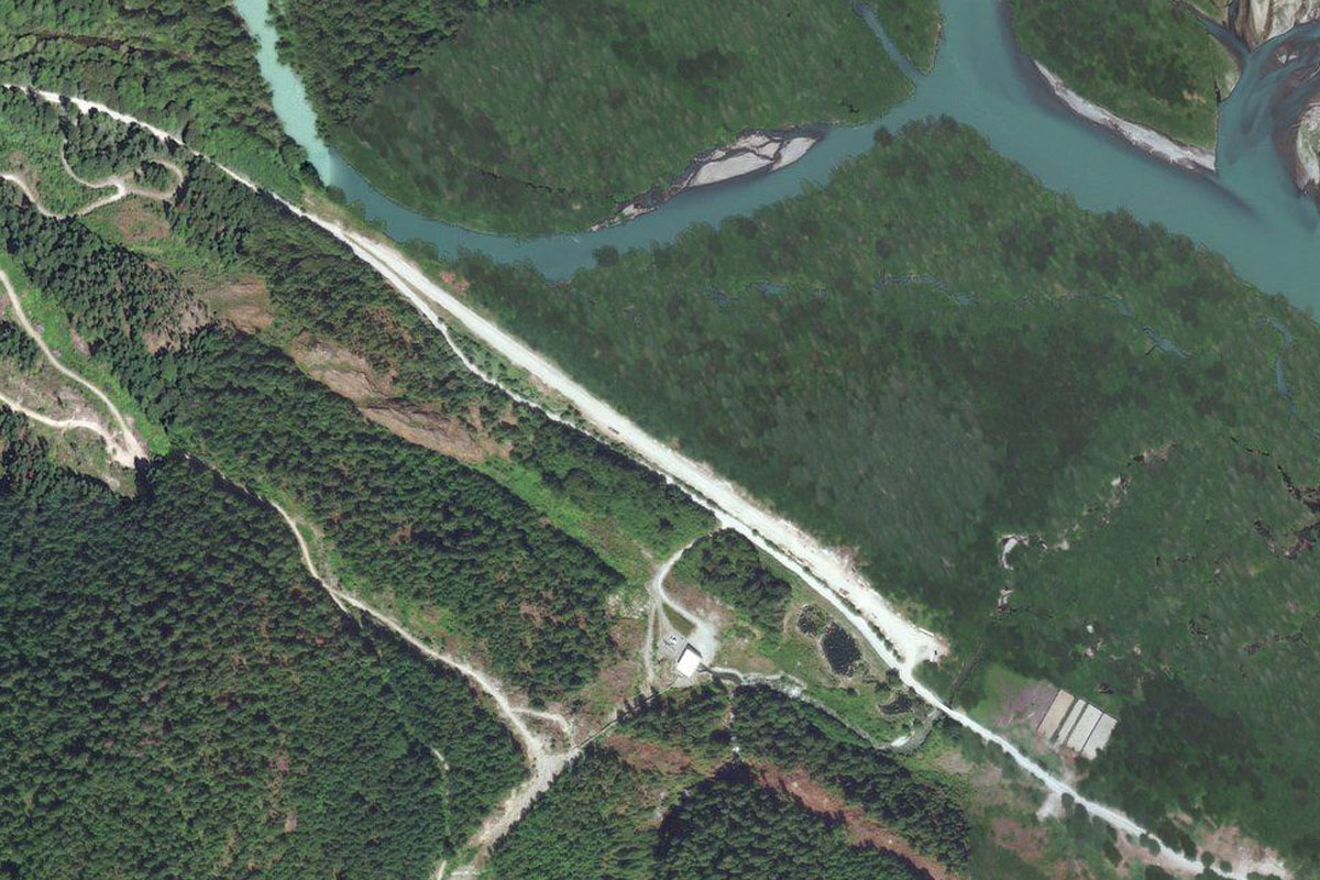
CBB7(CBB7) to Lillooet River(POI88)
Distance: 1.79NM Bearing: 280° 1 minutes
Head west after takeoff, then turn southwest down the first valley available
Lillooet River(POI88) to Sloquet Creek(POI89)
Distance: 5.76NM Bearing: 235° 3 minutes
Follow Sloquet Creek southwest along the valley
Sloquet Creek(POI89) to Sloquet Creek(POI90)
Distance: 7.21NM Bearing: 193° 3 minutes
Follow the creek as it turns south, over a small mountain pass and into the Stave River valley
Sloquet Creek(POI90) to Stave River(POI91)
Distance: 3.05NM Bearing: 136° 1 minutes
Follow the Stave River southeast for a few miles. Where it turns away to the east, turn right into a smaller valley south
Stave River(POI91) to Thomas Lake(POI92)
Distance: 1.53NM Bearing: 195° 1 minutes
Follow the valley as it curves around to the left
Thomas Lake(POI92) to Osprey Mountain(POI93)
Distance: 3.88NM Bearing: 174° 2 minutes
Heading south, there will be a large valley opening out to the left (east). Ignore it and continue south into the higher, smaller V-shaped valley ahead
Osprey Mountain(POI93) to Osprey Creek(POI94)
Distance: 1.38NM Bearing: 198° 1 minutes
Follow the valley as it turns slightly southwest
Osprey Creek(POI94) to Pitt Lake(POI95)
Distance: 2.69NM Bearing: 243° 1 minutes
The valley will continue its turn to the southwest and down to Pitt Lake
Pitt Lake(POI95) to Pitt River(POI96)
Distance: 7.46NM Bearing: 190° 4 minutes
Fly south along the lake to the head of the Pitt River
Pitt River(POI96) to Fraser River(POI97)
Distance: 9.7NM Bearing: 206° 5 minutes
Follow the Pitt River southwest to its meeting with the Fraser River
Fraser River(POI97) to Annacis Island(POI98)
Distance: 8.51NM Bearing: 232° 4 minutes
Follow the Fraser River southwest through the greater Vancouver area until you reach Annacis Island
Annacis Island(POI98) to CYVR(CYVR)
Distance: 8.63NM Bearing: 262° 4 minutes
A right turn to the west will have you lining up for an approach into Vancouver International Airport, and the end of this stage