Welcome to stage 10 of the tour, starting in beautiful British Columbia and the city of Vancouver. Explore the area around the Strait of Georgia before heading south to the coastal Pacific Northwest. You’ll see the natural beauty of Crater Lake in Oregon and Mount Shasta in northern California. The final part of this stage will take you further inland past the Lassen Volcanic Wilderness and the Plumas National Forest, and onto the City of Reno, the ‘Biggest Little City in the World’ and home of the famous Reno Air Race, which you’ll explore in the next stage.
Total Legs: 22 Total Distance: 1131 Total Time(125kts): 9 hours 2 minutes
Leg 1
Flying from CYVR
Leg Distance: 44.01 Approximate time at 125kts: 21 minutes.
CYVR(CYVR) to Vancouver Harbour(POI1)
Distance: 6.89NM Bearing: 21° 3 minutes
Head northeast to Vancouver Harbour, at the eastern end of the city
Vancouver Harbour(POI1) to Lions Gate Bridge(POI2)
Distance: 3.29NM Bearing: 293° 2 minutes
Fly west past the city and the distinctive sails of Canada Place, then northwest over Stanley Park and the Lions Gate Bridge
Lions Gate Bridge(POI2) to Point Atkinson(POI3)
Distance: 4.88NM Bearing: 263° 2 minutes
Follow the north shore of the bay westwards to Point Atkinson
Point Atkinson(POI3) to Queen Charlotte Channel(POI4)
Distance: 2.98NM Bearing: 324° 1 minutes
Follow the coast around to the northwest
Queen Charlotte Channel(POI4) to Squamish Harbour(POI5)
Distance: 17.11NM Bearing: 353° 8 minutes
Turn north and head along the wide channel into Squamish Harbour
Squamish Harbour(POI5) to Squamish(POI6)
Distance: 4.19NM Bearing: 36° 2 minutes
Follow the harbour's waters northeast to the town of Squamish
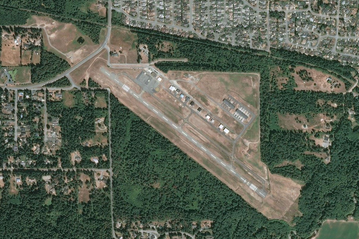
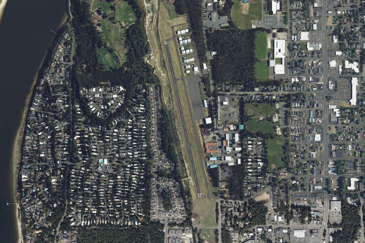
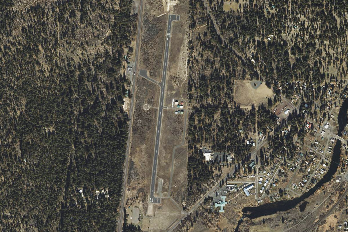
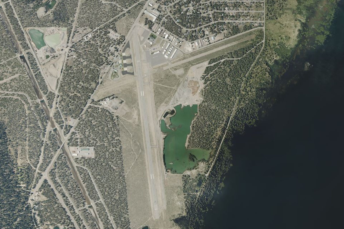
Squamish(POI6) to CYSE(CYSE)
Distance: 4.67NM Bearing: 337° 2 minutes
Follow the Squamish River for a few miles north of the town to the airport
Leg 2
Flying from CYSE
Leg Distance: 53.64 Approximate time at 125kts: 26 minutes.
CYSE(CYSE) to Ashlu Canyon(POI7)
Distance: 8.97NM Bearing: 307° 4 minutes
Head northwest along the valley after takeoff. When you come to a fork in the river, continue northwest through the smaller Ashlu Canyon
Ashlu Canyon(POI7) to Ashlu Creek(POI8)
Distance: 3.99NM Bearing: 287° 2 minutes
Follow Ashlu Creek along the valley for a few miles, then as the creek turns more to the west you will see a valley entrance to the left which will take us southwest
Ashlu Creek(POI8) to Pokosha-Clowhom Pass(POI9)
Distance: 2.83NM Bearing: 206° 1 minutes
Climb along the valley as it heads southwest past Coin Lake and Mount Jimmy Jimmy. When you reach the mountain pass, turn south into another valley
Pokosha-Clowhom Pass(POI9) to Clowhorn River(POI10)
Distance: 3.02NM Bearing: 153° 1 minutes
Follow the valley southeast towards the Clowhorn River
Clowhorn River(POI10) to Clowhorn River(POI11)
Distance: 2.09NM Bearing: 131° 1 minutes
Follow the Clowhorn River southeast along the valley
Clowhorn River(POI11) to Clowhorn River(POI12)
Distance: 2.22NM Bearing: 179° 1 minutes
Continue along the river as it turns south
Clowhorn River(POI12) to Clowhorn Lake(POI13)
Distance: 2.98NM Bearing: 208° 1 minutes
The river will open out to Clowhorn Lake and start turning to the southwest
Clowhorn Lake(POI13) to Clowhorn Lake(POI14)
Distance: 2.6NM Bearing: 241° 1 minutes
Follow the lake southwest
Clowhorn Lake(POI14) to Salmon Inlet(POI15)
Distance: 3.9NM Bearing: 179° 2 minutes
The lake will turn south and lead to the larger Salmon Inlet
Salmon Inlet(POI15) to Salmon Inlet(POI16)
Distance: 10.87NM Bearing: 233° 5 minutes
Follow Salmon Inlet southwest
Salmon Inlet(POI16) to Sechelt Inlet(POI17)
Distance: 8.51NM Bearing: 149° 4 minutes
Turn left and head southeast along Sechelt Inlet
Sechelt Inlet(POI17) to CAP3(CAP3)
Distance: 1.66NM Bearing: 108° 1 minutes
The town of Sechelt lies at the southern end of the inlet, with the airport just to the southeast
Leg 3
Flying from CAP3
Leg Distance: 54.18 Approximate time at 125kts: 26 minutes.
CAP3(CAP3) to Thormanby Island(POI18)
Distance: 9.54NM Bearing: 256° 5 minutes
Head west after takeoff, following the coast, then passing two islands – Merry Island and the larger Thormanby Island
Thormanby Island(POI18) to Texada Island(POI19)
Distance: 7.18NM Bearing: 264° 3 minutes
Heading west from Thormanby Island will take you to the southern tip of the large Texada Island, which runs northwest creating the Malaspina Strait
Texada Island(POI19) to Gilles Bay(POI20)
Distance: 19.61NM Bearing: 293° 9 minutes
Follow the western coast of Texada Island as you head northwest, until you reach the large limestone quarry at Gilles Bay, then turn west
Gilles Bay(POI20) to Comox(POI21)
Distance: 13.54NM Bearing: 260° 6 minutes
Head west over the Strait of Georgia towards Comox Airport
Comox(POI21) to CAH3(CAH3)
Distance: 4.31NM Bearing: 225° 2 minutes
From Comox, the smaller Courtenay airport is a few miles southwest, at the mouth of the Courtenay River
Leg 4
Flying from CAH3
Leg Distance: 47.32 Approximate time at 125kts: 23 minutes.
CAH3(CAH3) to Comox Lake(POI22)
Distance: 8.69NM Bearing: 226° 4 minutes
Fly southwest after takeoff towards Comox Lake
Comox Lake(POI22) to Beaufort Range(POI23)
Distance: 19.34NM Bearing: 127° 9 minutes
Follow the lake around to the south, then fly southeast along the western side of the Beaufort Mountain Range
Beaufort Range(POI23) to Horne Lake(POI24)
Distance: 7.99NM Bearing: 86° 4 minutes
As you reach the southern end of the mountain range, turn east past the picturesque Horne Lake. This area is also home to MacMillan Provincial Park and the popular Cathedral Grove of ancient Douglas Fir trees
Horne Lake(POI24) to CAT4(CAT4)
Distance: 11.3NM Bearing: 71° 5 minutes
After you pass the lake, turn northeast to Qualicum Beach, and the airport which sits just east of the golf course
Leg 5
Flying from CAT4
Leg Distance: 79.72 Approximate time at 125kts: 38 minutes.
CAT4(CAT4) to Nanaimo(POI25)
Distance: 19.81NM Bearing: 103° 10 minutes
From Qualicum, follow the coast southeast
Nanaimo(POI25) to Gabriola Island(POI26)
Distance: 9.62NM Bearing: 89° 5 minutes
When you reach the large town of Nanaimo, turn east and head across Gabriola Island
Gabriola Island(POI26) to Galiano Island(POI27)
Distance: 14.02NM Bearing: 128° 7 minutes
Turn southeast from Gabriola Island and fly along the long, thin Valdes and Galiano Islands
Galiano Island(POI27) to Active Pass(POI28)
Distance: 9.11NM Bearing: 109° 4 minutes
Continue along Galiano Island to Active Pass, a scenic point between Galiano and Mayne Island, and a busy channel for marine craft between Victoria and Vancouver
Active Pass(POI28) to Saturna Island(POI29)
Distance: 10NM Bearing: 105° 5 minutes
Continue along the outer islands of Mayne Island an Saturna Island. When you reach the end of Saturna Island, turn south
Saturna Island(POI29) to San Juan Island(POI30)
Distance: 9.52NM Bearing: 177° 5 minutes
Head south to the second largest of the islands, San Juan Island
San Juan Island(POI30) to KFHR(KFHR)
Distance: 7.64NM Bearing: 124° 4 minutes
From Roche Harbour at the north end of the island, head southeast to Friday Harbour, the main town on the San Juan Islands. The airport is just south of the town
Leg 6
Flying from KFHR
Leg Distance: 36.97 Approximate time at 125kts: 18 minutes.
KFHR(KFHR) to Victoria(POI31)
Distance: 16.56NM Bearing: 237° 8 minutes
Head southwest from Friday Harbour, across San Juan Island and Haro Strait to the beautiful city of Victoria, the capital of British Columbia
Victoria(POI31) to Bentinck Island(POI32)
Distance: 8.96NM Bearing: 197° 4 minutes
From Victoria Harbour, follow the coast southwest to the southern point of Bentinck Island
Bentinck Island(POI32) to KNOW(KNOW)
Distance: 11.45NM Bearing: 138° 5 minutes
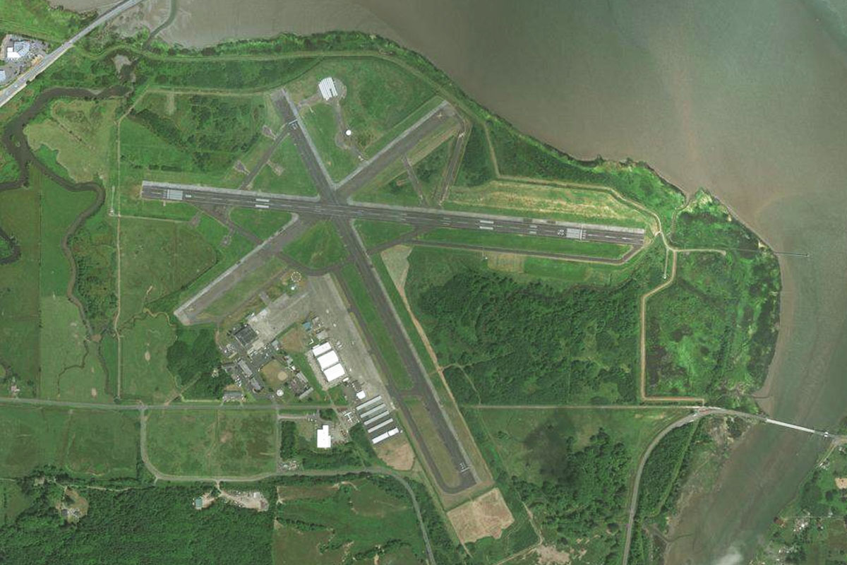
Head southeast across the Salish Sea, back to the USA and the US Coast Guard Air Station, which sits at the end of the Ediz Hook peninsula near Port Angeles
Leg 7
Flying from KNOW
Leg Distance: 47.59 Approximate time at 125kts: 23 minutes.
KNOW(KNOW) to US-101(POI33)
Distance: 7.98NM Bearing: 220° 4 minutes
Head southwest after takeoff, over the town and its International Airport. Follow US highway 101 between the hills before turning west along a valley
US-101(POI33) to Lake Crescent(POI34)
Distance: 7.17NM Bearing: 263° 3 minutes
Follow the highway west over Lake Sutherland, then the larger Lake Crescent
Lake Crescent(POI34) to Lake Crescent(POI35)
Distance: 2.69NM Bearing: 219° 1 minutes
Turn and follow the lake southwest
Lake Crescent(POI35) to US-101(POI36)
Distance: 6.51NM Bearing: 263° 3 minutes
Fly to the western end of the lake then continue west along the highway
US-101(POI36) to Lake Pleasant(POI37)
Distance: 14.3NM Bearing: 253° 7 minutes
Follow the highway west along the foothills of the Olympic Mountains
Lake Pleasant(POI37) to US-101(POI38)
Distance: 3.34NM Bearing: 214° 2 minutes
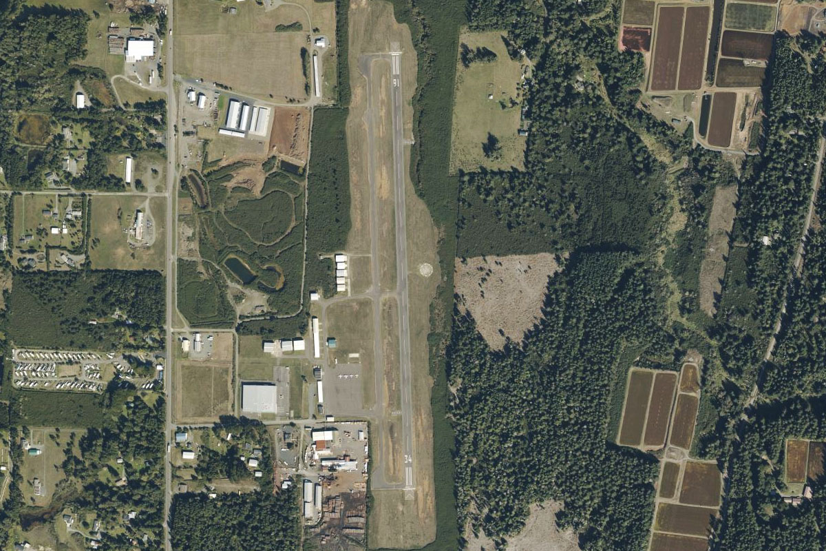
The highway will turn southwest from the lake, then south to the town of Forks
US-101(POI38) to S18(S18)
Distance: 5.6NM Bearing: 167° 3 minutes
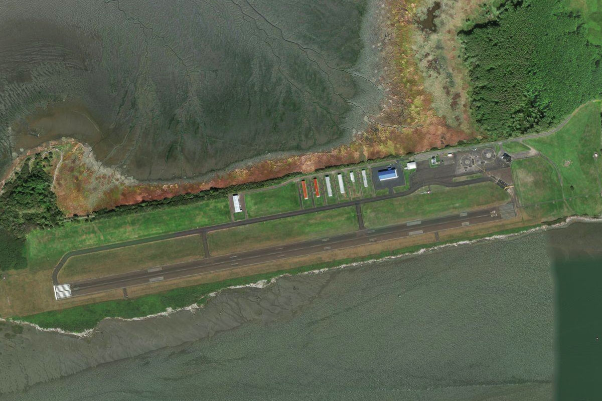
Head south to Forks, and you'll find the airport on the southern edge of the town
Leg 8
Flying from S18
Leg Distance: 80.19 Approximate time at 125kts: 38 minutes.
S18(S18) to La Push(POI39)
Distance: 10.38NM Bearing: 245° 5 minutes
After takeoff, follow the Quillayute River southwest to the Pacific Coast near La Push beach and the Quillayute Needles sea stacks
La Push(POI39) to Ruby Beach(POI40)
Distance: 15.38NM Bearing: 127° 7 minutes
Follow the coast southeast. Highway 101 will meet back up with the coast at Ruby Beach
Ruby Beach(POI40) to Ocean Shores(POI41)
Distance: 45.05NM Bearing: 151° 22 minutes
Continue along the coast southeast. When you reach the large inlet of Grays Harbour, turn east
Ocean Shores(POI41) to KHQM(KHQM)
Distance: 9.38NM Bearing: 76° 5 minutes
Bowerman Airport is on a small peninsula at the eastern end of the bay before the towns of Hoquiam and Aberdeen
Leg 9
Flying from KHQM
Leg Distance: 51.9 Approximate time at 125kts: 25 minutes.
KHQM(KHQM) to Leadbetter Point(POI42)
Distance: 18.73NM Bearing: 179° 9 minutes
Head south from Bowerman, over the forested hills and then across the entrance of Willapa Bay, before reaching Leadbetter Point, the sandy northern end of the Long Beach Peninsula
Leadbetter Point(POI42) to Long Beach Peninsula(POI43)
Distance: 19.19NM Bearing: 163° 9 minutes
Follow the thin strip of land south towards the large bay, which is the mouth of the Columbia River
Long Beach Peninsula(POI43) to Astoria Bridge(POI44)
Distance: 9.23NM Bearing: 121° 4 minutes
Follow the north shore of the bay around to the iconic Astoria Bridge
Astoria Bridge(POI44) to KAST(KAST)
Distance: 4.75NM Bearing: 165° 2 minutes
Follow the bridge across the river to the town of Astoria, then turn southwest to the airport
Leg 10
Flying from KAST
Leg Distance: 47.02 Approximate time at 125kts: 23 minutes.
KAST(KAST) to Ecola State Park(POI45)
Distance: 14.31NM Bearing: 182° 7 minutes
Head south the hilly outcrop on the coast which is Ecola State Park, then follow the coast south
Ecola State Park(POI45) to Tillamook Bay(POI46)
Distance: 23.37NM Bearing: 162° 11 minutes
Heading south from Ecola State Park, you'll pass the notable Haystack Rock just off Cannon Beach, all shooting locations for the popular 80s movie "The Goonies". Continue down the coast until you reach Tillamook Bay, then head into the bay
Tillamook Bay(POI46) to KTMK(KTMK)
Distance: 9.34NM Bearing: 128° 4 minutes
Fly southeast along the bay, past the town of Tillamook and to the airport just southeast of the town
Leg 11
Flying from KTMK
Leg Distance: 53.09 Approximate time at 125kts: 25 minutes.
KTMK(KTMK) to Nestucca River(POI47)
Distance: 11.18NM Bearing: 176° 5 minutes
Head south after takeoff, until you reach US101 heading along the Nestucca River
Nestucca River(POI47) to Nestucca Bay(POI48)
Distance: 6.24NM Bearing: 215° 3 minutes
When the river meets the coast at Nestucca Bay, turn and follow the coast south
Nestucca Bay(POI48) to Depoe Bay(POI49)
Distance: 22.06NM Bearing: 175° 11 minutes
Follow the coast south, as it switches between sandy beaches and forested rocky outcrops
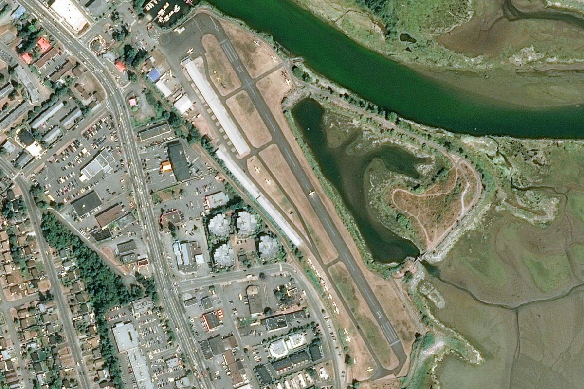
Depoe Bay(POI49) to KONP(KONP)
Distance: 13.61NM Bearing: 163° 7 minutes
Continue along the coast to the town of Newport. The airport is to the south of town next to the highway
Leg 12
Flying from KONP
Leg Distance: 36.36 Approximate time at 125kts: 17 minutes.
KONP(KONP) to Neptune State Scenic Viewpoint(POI50)
Distance: 18.09NM Bearing: 174° 9 minutes
Continue following the coast south, past the town of Yachats
Neptune State Scenic Viewpoint(POI50) to Florence(POI51)
Distance: 14.39NM Bearing: 169° 7 minutes
Follow the coast south, passing the picturesque Heceta Head Lighthouse which sits on one of the many outcrops along the coast
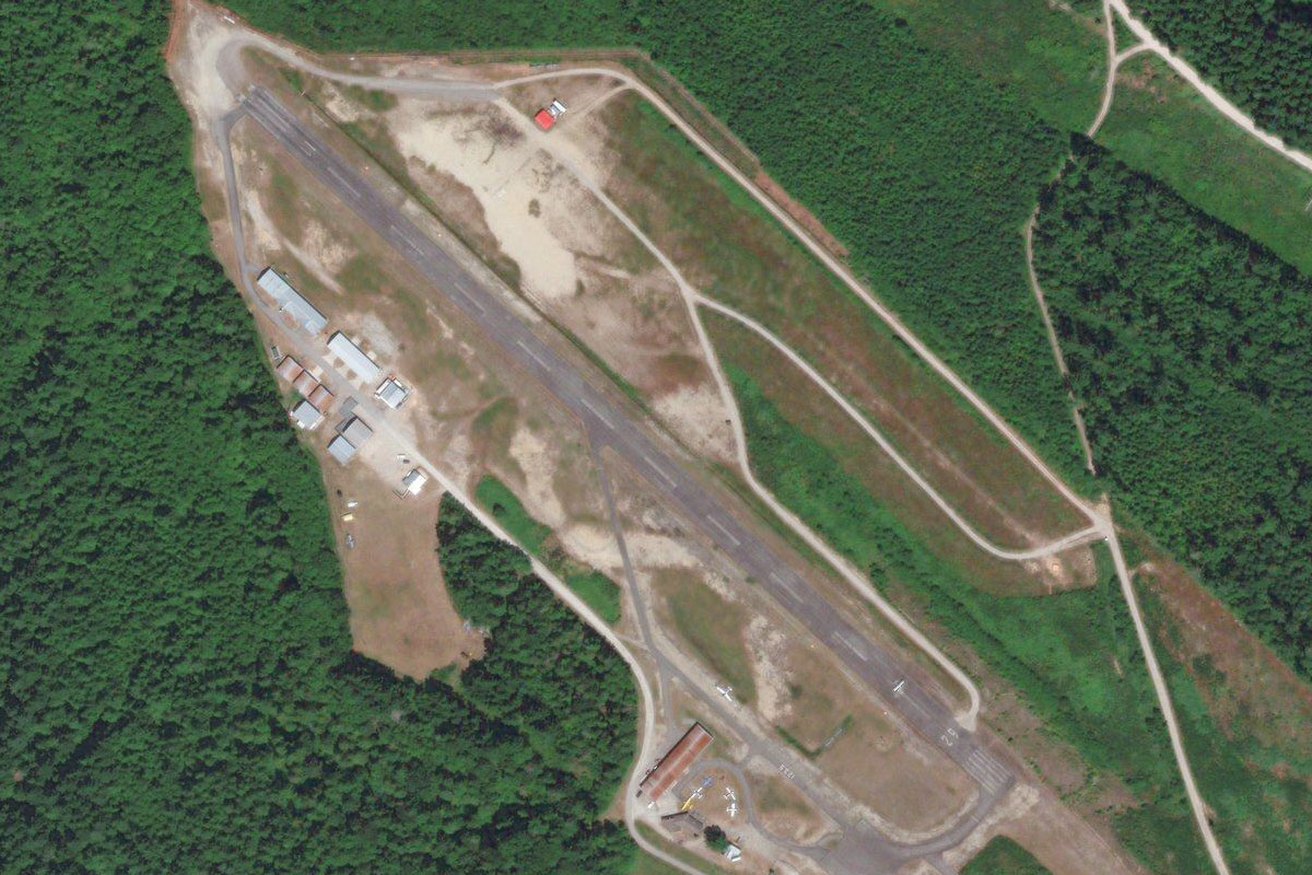
Florence(POI51) to 6S2(6S2)
Distance: 3.88NM Bearing: 145° 2 minutes
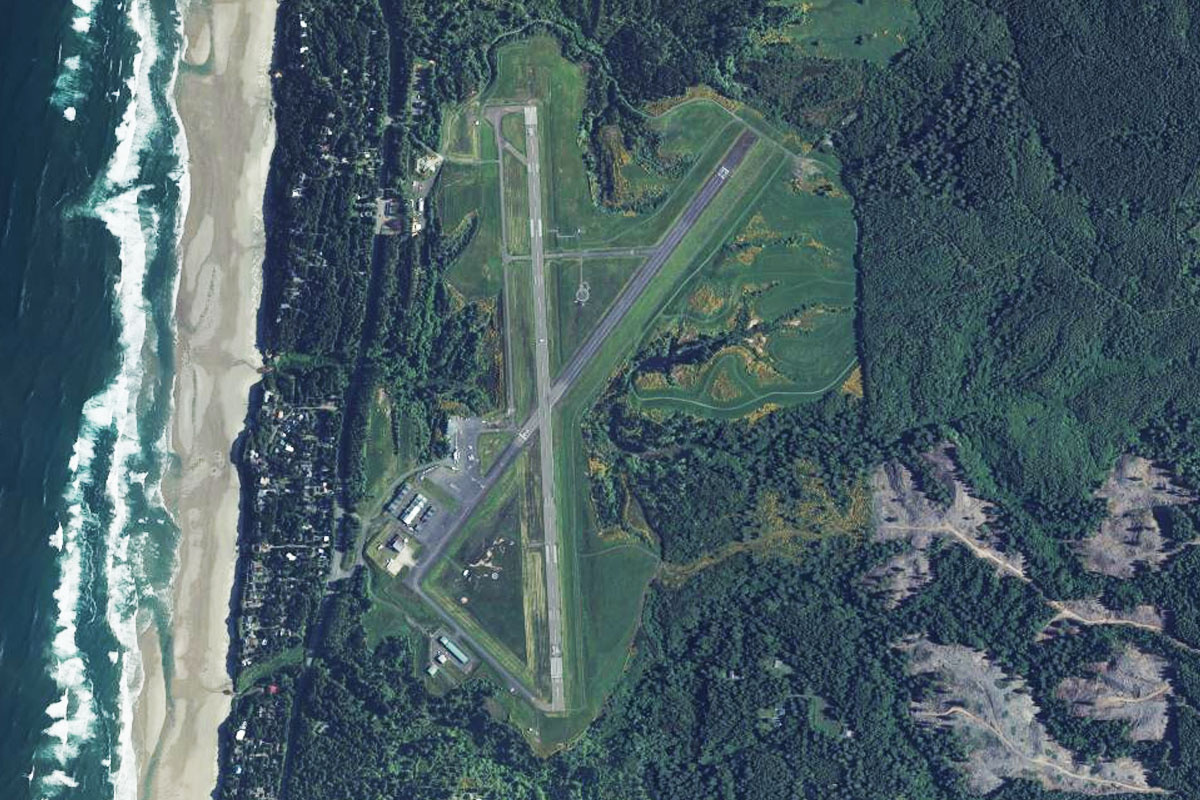
When you see the large sand dunes behind Heceta Beach, turn towards Florence Airport, which sits in between the town and the Suislaw River
Leg 13
Flying from 6S2
Leg Distance: 55.72 Approximate time at 125kts: 27 minutes.
6S2(6S2) to Woahink Lake(POI52)
Distance: 5.18NM Bearing: 171° 2 minutes
Head south past the sand dunes and Woahink Lake before following the coast south
Woahink Lake(POI52) to Cape Arago(POI53)
Distance: 36.6NM Bearing: 184° 18 minutes
Continue south along the coast, passing Coos Bay and Cape Arago
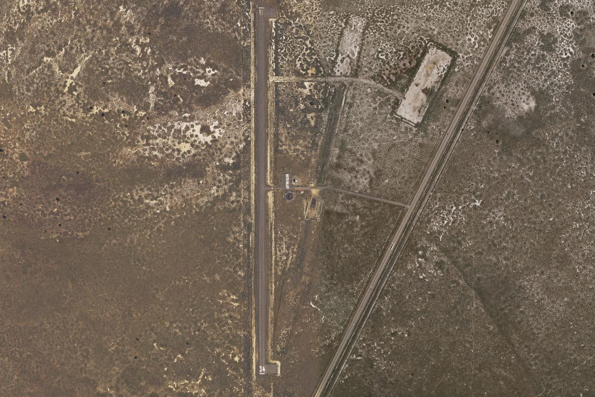
Cape Arago(POI53) to S05(S05)
Distance: 13.94NM Bearing: 169° 7 minutes
Follow the coast south to the town of Bandon, where the airport is just south of the town which sits at the mouth of the Coquille River
Leg 14
Flying from S05
Leg Distance: 53.37 Approximate time at 125kts: 26 minutes.
S05(S05) to Kenyon Mountain(POI54)
Distance: 22.58NM Bearing: 87° 11 minutes
After takeoff, head east over the hills. You will soon cross a river valley and then follow state road 42 as it heads east through the mountains
Kenyon Mountain(POI54) to Winston(POI55)
Distance: 22.07NM Bearing: 59° 11 minutes
Keep following the road as it curves around the south of Kenyon Mountain before turning northeast, where it will meet the town of Winston and Interstate 5 heading north
Winston(POI55) to Roseburg(POI56)
Distance: 6.38NM Bearing: 14° 3 minutes
Follow I-5 a few miles north towards the town of Roseburg, then follow the South Umpqua River as it takes a sharp turn west
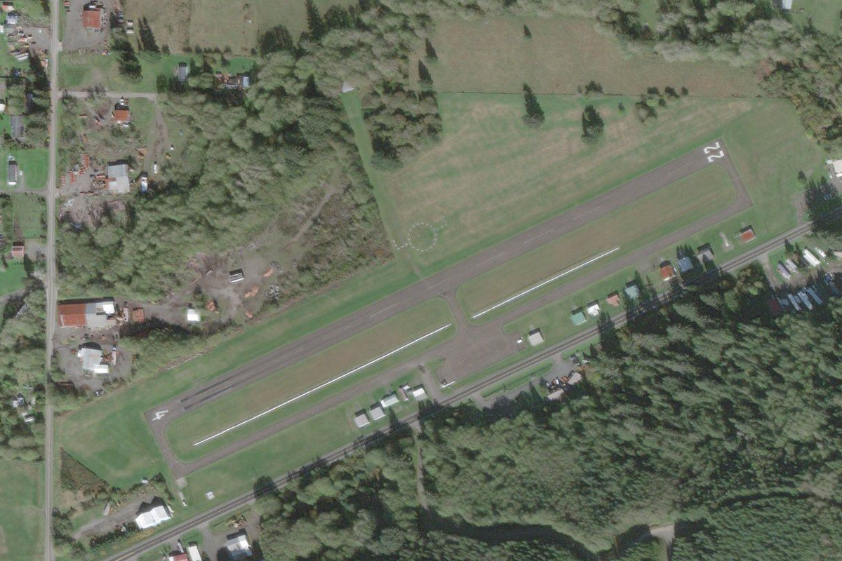
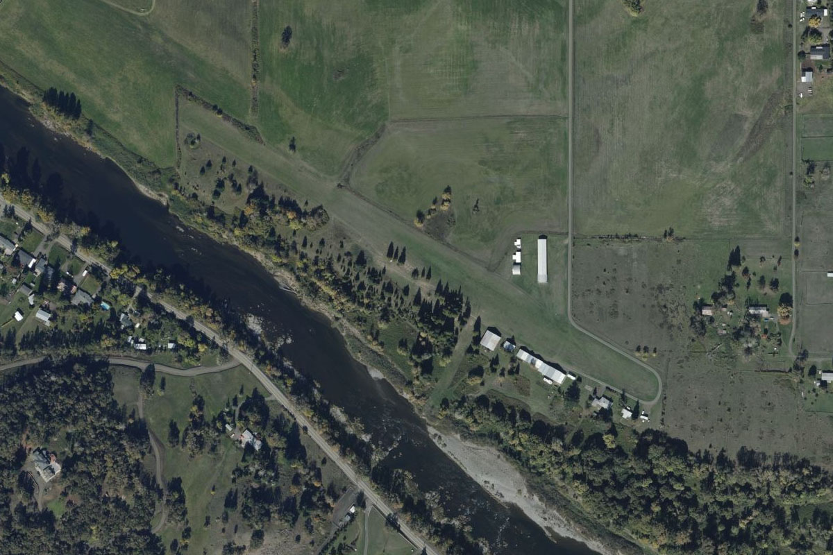
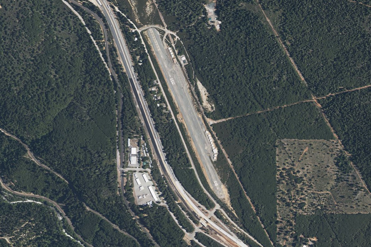
Roseburg(POI56) to 5S1(5S1)
Distance: 2.34NM Bearing: 262° 1 minutes
Just 2 miles west of the interstate, on the north bank of the river, is the small grass airstrip of Felt
Leg 15
Flying from 5S1
Leg Distance: 46.22 Approximate time at 125kts: 22 minutes.
5S1(5S1) to OR-138(POI57)
Distance: 18.28NM Bearing: 55° 9 minutes
Head northeast from Roseburg and follow state road 138 as it winds through the mountains
OR-138(POI57) to OR-138(POI58)
Distance: 21.29NM Bearing: 79° 10 minutes
Keep following the road east (generally) as it follows the North Umpqua River
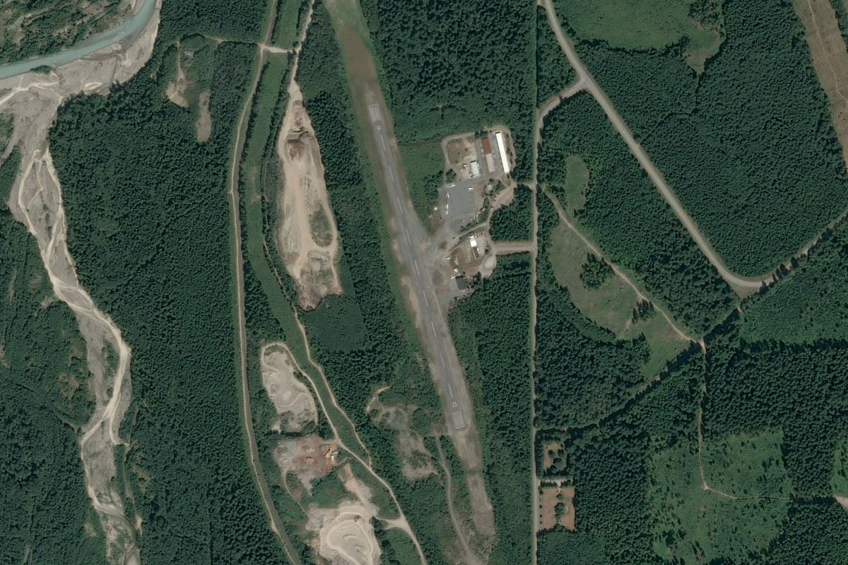
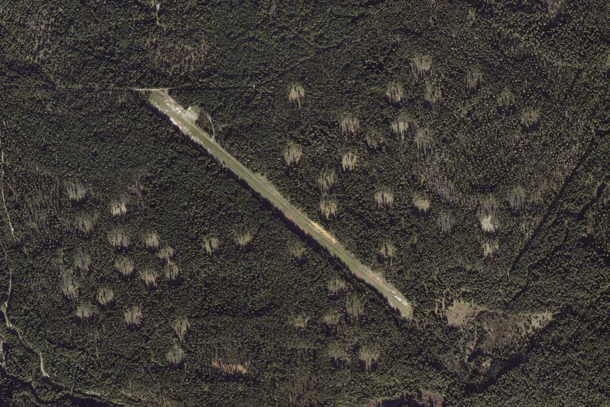
OR-138(POI58) to 3S6(3S6)
Distance: 6.65NM Bearing: 122° 3 minutes
Keep an eye out on the right for Toketee State airfield, which sits in its own large clearing in the forest
Leg 16
Flying from 3S6
Leg Distance: 51.72 Approximate time at 125kts: 25 minutes.
3S6(3S6) to Crater Lake(POI59)
Distance: 19.24NM Bearing: 126° 9 minutes
After takeoff, head southeast directly towards Crater Lake.
Crater Lake(POI59) to Crater Lake(POI60)
Distance: 6.54NM Bearing: 145° 3 minutes
Cross Crater Lake heading southeast. The lake is the deepest in the USA and the island at the western end of the lake is Wizard Island
Crater Lake(POI60) to US-97(POI61)
Distance: 11.74NM Bearing: 95° 6 minutes
Head east from Crater Lake to meet up with US highway 97 heading south
US-97(POI61) to 2S7(2S7)
Distance: 14.2NM Bearing: 174° 7 minutes
Follow the highway south to Chiloquin State Airport, which sits at the highway's edge
Leg 17
Flying from 2S7
Leg Distance: 43.46 Approximate time at 125kts: 21 minutes.
2S7(2S7) to Klamath Falls(POI62)
Distance: 21.53NM Bearing: 156° 10 minutes
After takeoff, head south to Klamath Lake and fly to Klamath Falls, which sits at the southern end of the lake
Klamath Falls(POI62) to A32(A32)
Distance: 21.93NM Bearing: 188° 11 minutes
Turn to the south and head in the direction of Mount Shasta, a 14000ft volcano and symbol of Northern California. You'll see US highway 97 heading in the same direction, with Butte Valley airfield sitting to the right side of the highway
Leg 18
Flying from A32
Leg Distance: 41.12 Approximate time at 125kts: 20 minutes.
A32(A32) to Mount Shasta(POI63)
Distance: 31.9NM Bearing: 192° 15 minutes
Continue south towards Mount Shasta, and aim to pass it on its right side
Mount Shasta(POI63) to Mount Shasta(POI64)
Distance: 5.57NM Bearing: 181° 3 minutes
Turn around the mountain towards the south and head for the town of Mount Shasta
Mount Shasta(POI64) to 1O6(1O6)
Distance: 3.65NM Bearing: 139° 2 minutes
The airport is a few miles southeast of the town, just beside the highway
Leg 19
Flying from 1O6
Leg Distance: 44.89 Approximate time at 125kts: 22 minutes.
1O6(1O6) to I-5(POI65)
Distance: 20.17NM Bearing: 188° 10 minutes
After takeoff, head south along Interstate 5
I-5(POI65) to Lake Shasta(POI66)
Distance: 12.12NM Bearing: 139° 6 minutes
Keep following I-5 as it turns southeast towards Lake Shasta
Lake Shasta(POI66) to Redding(POI67)
Distance: 8.88NM Bearing: 184° 4 minutes
The highway will head south to the city of Redding
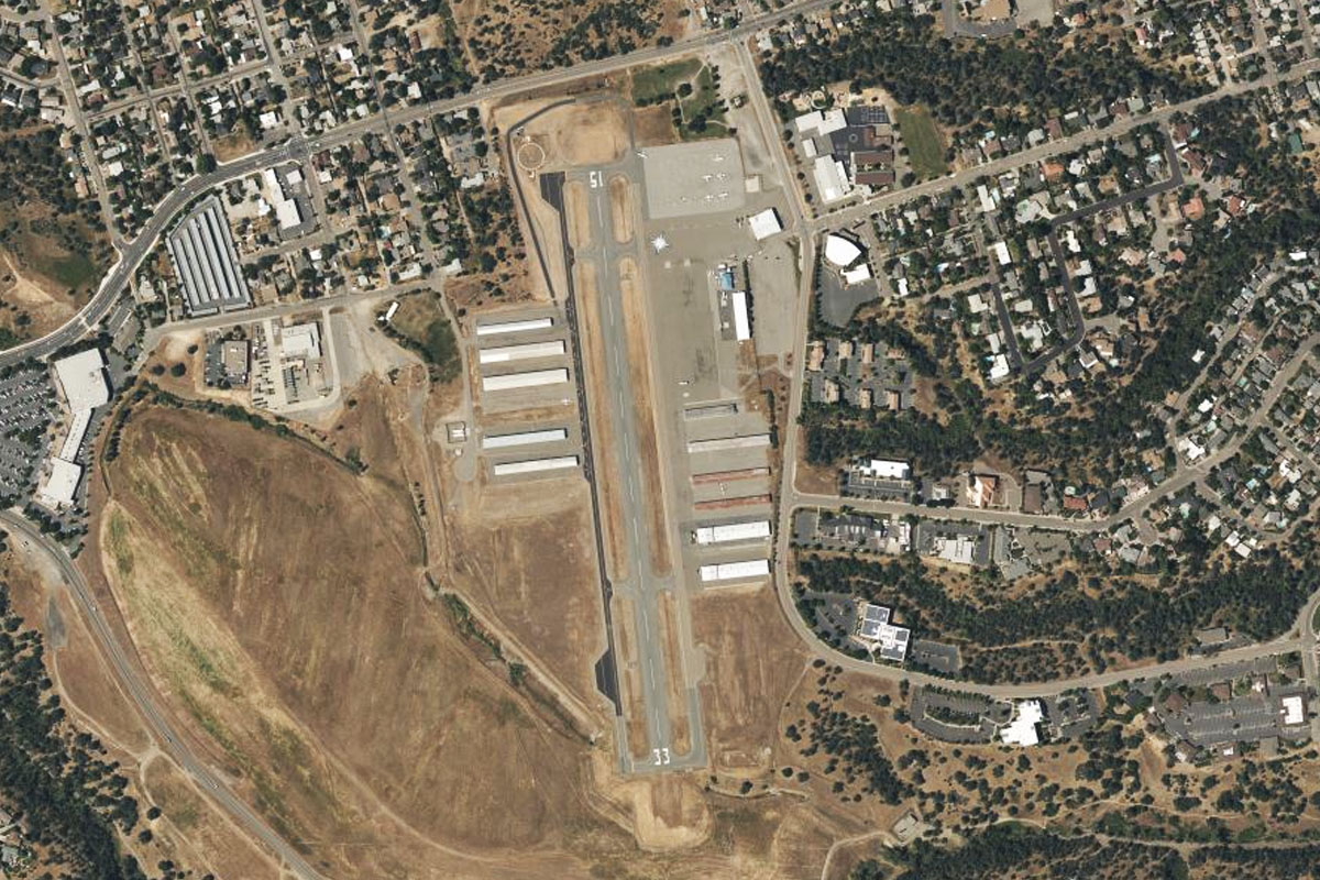
Redding(POI67) to O85(O85)
Distance: 3.72NM Bearing: 194° 2 minutes
At the north end of town, a highway will branch off from the interstate and head directly for the town. This also points you to Benton Airpark on the southwestern side of the city
Leg 20
Flying from O85
Leg Distance: 56.78 Approximate time at 125kts: 27 minutes.
O85(O85) to CA-44(POI68)
Distance: 10.24NM Bearing: 88° 5 minutes
After takeoff, head east across town, then follow state road 44 as it heads east to Mount Lassen
CA-44(POI68) to Lassen Peak(POI69)
Distance: 30.48NM Bearing: 89° 15 minutes
Head east towards Lassen Peak. As the road turns to pass the north side of the mountain, keep heading east and pass the mountain to its south side
Lassen Peak(POI69) to O05(O05)
Distance: 16.06NM Bearing: 109° 8 minutes
After passing the mountain, head southeast towards the town of Chester. The airfield sits between the town and the lake
Leg 21
Flying from O05
Leg Distance: 49.51 Approximate time at 125kts: 24 minutes.
O05(O05) to Antelope Lake(POI70)
Distance: 30.24NM Bearing: 88° 15 minutes
After takeoff, head east over Lake Almanor. You'll then pass over some mountain terrain before coming to Antelope Lake
Antelope Lake(POI70) to Honey Lake(POI71)
Distance: 15.98NM Bearing: 88° 8 minutes
From Antelope Lake, continue east over the mountains to the southern end of Honey Lake on the flat plain ahead
Honey Lake(POI71) to H37(H37)
Distance: 3.29NM Bearing: 73° 2 minutes
At the south end of the lake a road will branch off from highway 395 towards the town of Herlong. The airstrip is beside the road just before the town
Leg 22
Flying from H37
Leg Distance: 56.5 Approximate time at 125kts: 27 minutes.
H37(H37) to Pyramid Lake(POI72)
Distance: 22.9NM Bearing: 85° 11 minutes
Head east to Pyramid Lake after takeoff. You'll pass the large Sierra Army Depot on the left as you depart
Pyramid Lake(POI72) to Pyramid Lake(POI73)
Distance: 12.22NM Bearing: 133° 6 minutes
Turn southeast and head along the west bank of the lake, then turn right and head southwest through the gap in the mountains about three quarters of the way down the lake
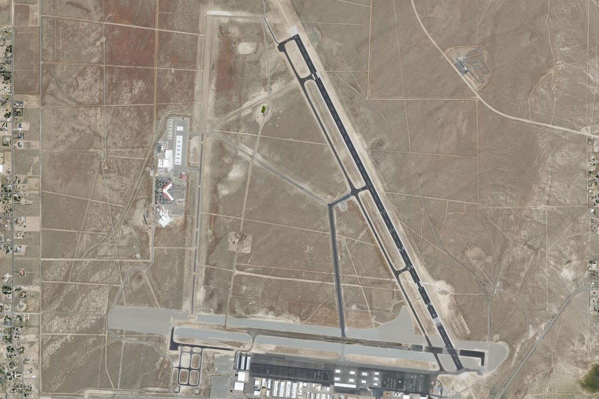
Pyramid Lake(POI73) to KRTS(KRTS)
Distance: 21.38NM Bearing: 214° 10 minutes
Head southwest to Reno/Stead airport, which sits on the northwestern outskirts of the city of Reno, near the base of Peavine Peak