Stage 12 takes us through the desert landscapes of southern California, the Baja peninsula in northwestern Mexico, and Arizona back in the USA. Highlights include the beautiful Santa Catalina Island and the city of San Diego in California, the Baja Peninsula, Gulf of California and the volcanic landscape of the Pinacate Peaks in Mexico, and the desert and mountain regions around Phoexix and Tucson in Arizona.
Total Legs: 12 Total Distance: 686 Total Time(125kts): 5 hours 29 minutes
Leg 1
Flying from KLAX
Leg Distance: 39.25 Approximate time at 125kts: 19 minutes.
KLAX(KLAX) to Jack Northrop Field(POI1)
Distance: 3.97NM Bearing: 98° 2 minutes
After takeoff, head east over the airport that sits just a few miles from LAX. Hawthorne Municipal Airport sits just south of the 105 freeway and is also an aerospace hub and home of SpaceX
Jack Northrop Field(POI1) to Blimp Base(POI2)
Distance: 4.87NM Bearing: 133° 2 minutes
Head southeast from Hawthorne to the double interchanges of the 405, 110 and 91 freeways, and you'll find the home base of the Goodyear Blimp. The "airport" is the large round concrete pad next to Victoria Golf Course
Blimp Base(POI2) to Los Angeles Harbour(POI3)
Distance: 6.68NM Bearing: 154° 3 minutes
Head southeast to the adjoining port facilities of the Port of Los Angeles and the Port of Long Beach, which are the two busiest container ports in the USA. The city of Long Beach is at the eastern edge of the port. Once you reach the ocean, turn south
Los Angeles Harbour(POI3) to Catalina Island(POI4)
Distance: 18.62NM Bearing: 182° 9 minutes
Heading south to Santa Catalina Island, aim for the tallest peak of the southern half of the island
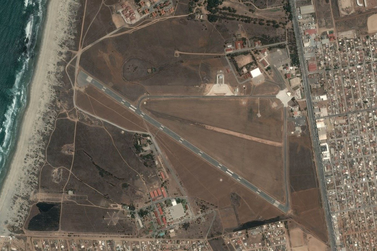
Catalina Island(POI4) to KAVX(KAVX)
Distance: 5.11NM Bearing: 231° 2 minutes
As you approach the island, you should see the airport sitting on high ground just north of the island's highest peak, Mount Orizaba
Leg 2
Flying from KAVX
Leg Distance: 60.16 Approximate time at 125kts: 29 minutes.
KAVX(KAVX) to Avalon(POI5)
Distance: 6.25NM Bearing: 119° 3 minutes
Fly southeast along the island and over the town of Avalon, then turn east
Avalon(POI5) to Carlsbad(POI6)
Distance: 49.34NM Bearing: 91° 24 minutes
Head east to the mainland, where you should meet the coast near Oceanside or Carlsbad, then follow the coast southeast
Carlsbad(POI6) to KCRQ(KCRQ)
Distance: 4.57NM Bearing: 108° 2 minutes
Once you spot the Agua Hedionda lagoon just south of Carlsbad, turn east to Palomar Airport
Leg 3
Flying from KCRQ
Leg Distance: 29.29 Approximate time at 125kts: 14 minutes.
KCRQ(KCRQ) to I-5(POI7)
Distance: 14.23NM Bearing: 157° 7 minutes
Head south after takeoff and meet up with Interstate 5 as it follows the coast, before turning inland as it nears Torrey Pines Golf Course which overlooks the Pacific Ocean
I-5(POI7) to Miramar(POI8)
Distance: 4.43NM Bearing: 98° 2 minutes
As the interstate turns southeast, you should see Miramar Marina Corps Air Station, the former home of TOPGUN. Do a flyover of the airfield, and feel free to "Buzz the Tower"
Miramar(POI8) to San Diego(POI9)
Distance: 8.84NM Bearing: 175° 4 minutes
Head south from Miramar towards downtown San Diego
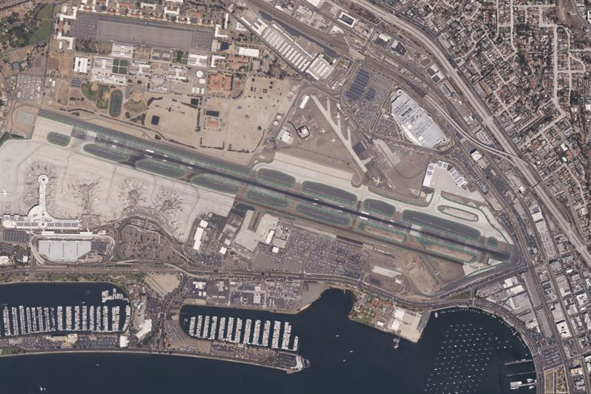
San Diego(POI9) to KSAN(KSAN)
Distance: 1.79NM Bearing: 274° 1 minutes
As you approach the downtown area, the airport will line up to your right
Leg 4
Flying from KSAN
Leg Distance: 65.55 Approximate time at 125kts: 31 minutes.
KSAN(KSAN) to Coronado(POI10)
Distance: 3.18NM Bearing: 141° 2 minutes
Fly southeast after takeoff and head along the harbor past downtown San Diego and towards the Coronado Bridge
Coronado(POI10) to MEX-1D(POI11)
Distance: 12.05NM Bearing: 160° 6 minutes
From the bridge, head south to the coast and follow it. On the coast east of the bridge is the historical red roofed Hotel Del Coronado. Just after crossing the border in to Mexico, you'll meet up with the 1D highway heading south along the coast
MEX-1D(POI11) to Punta El Descanso(POI12)
Distance: 14.02NM Bearing: 149° 7 minutes
Continue southeast along the coast
Punta El Descanso(POI12) to Baja Mar(POI13)
Distance: 17.9NM Bearing: 142° 9 minutes
From Punta El Descanso, cut across the bay southeast to Baja Mar
Baja Mar(POI13) to MMES(MMES)
Distance: 18.4NM Bearing: 122° 9 minutes
From Baja Mar, head southeast across the bay to Ensenada Airport, which is just south of the city
Leg 5
Flying from MMES
Leg Distance: 60.86 Approximate time at 125kts: 29 minutes.
MMES(MMES) to La Bufadora(POI14)
Distance: 7.76NM Bearing: 223° 4 minutes
After takeoff, head southwest over the Punta Banda Peninsula, which features a popular tourist attraction, La Bufadora, a marine blowhole
La Bufadora(POI14) to Punta Santo Tomas(POI15)
Distance: 10.02NM Bearing: 158° 5 minutes
Turn southeast and head down the coast to Punta Santo Tomas
Punta Santo Tomas(POI15) to San Antonio Del Mar(POI16)
Distance: 30.55NM Bearing: 131° 15 minutes
Continue southeast along the coast
San Antonio Del Mar(POI16) to MMLB(MMLB)
Distance: 12.53NM Bearing: 151° 6 minutes
Where the coast turns to the south in a straight line, cut across the land towards the bay at the south end of Punta Colonet, and you will find the airstrip a couple of miles southeast of the bay
Leg 6
Flying from MMLB
Leg Distance: 74.63 Approximate time at 125kts: 36 minutes.
MMLB(MMLB) to Sierra de San Pedro Martir(POI17)
Distance: 48.08NM Bearing: 87° 23 minutes
After takeoff, head east over the mountains of San Pedro Mártir, passing Picacho del Diablo, the highest peak on the Baja peninsula
Sierra de San Pedro Martir(POI17) to MMSF(MMSF)
Distance: 26.55NM Bearing: 70° 13 minutes
After crossing the mountains, head for the coast. San Felipe airport is 8 miles south of the town, on the plain a couple of miles inland
Leg 7
Flying from MMSF
Leg Distance: 84.69 Approximate time at 125kts: 41 minutes.
MMSF(MMSF) to Gulf of California(POI18)
Distance: 51.78NM Bearing: 49° 25 minutes
After takeoff, head northeast across the Gulf of California, in the direction of the distant volcanic peaks of Picos del Pinacate
Gulf of California(POI18) to Puerto Penasco(POI19)
Distance: 15.42NM Bearing: 87° 7 minutes
Once you are closer to land, head east for the town of Puerto Penasco
Puerto Penasco(POI19) to MMPE(MMPE)
Distance: 17.49NM Bearing: 79° 8 minutes
Continue east past the town to Mar de Cortés International Airport
Leg 8
Flying from MMPE
Leg Distance: 76.87 Approximate time at 125kts: 37 minutes.
MMPE(MMPE) to Crater el Elegante(POI20)
Distance: 30.08NM Bearing: 345° 14 minutes
Head north after takeoff to the dark, volcanic biosphere reserve of El Pinacate. The distinct Crater el Elegante is a few miles northwest of the Pinacate Peaks
Crater el Elegante(POI20) to USA Border(POI21)
Distance: 14.64NM Bearing: 33° 7 minutes
From the crater, turn northeast to another volcanic crater, Cerro Colorado, then continue northwest back into the USA and the small mountain range just over the border
USA Border(POI21) to Scarface Mountain(POI22)
Distance: 16.76NM Bearing: 43° 8 minutes
Head northeast between the two mountain ranges in the distance, past the prominent peak of Scarface Mountain
Scarface Mountain(POI22) to Ajo(POI23)
Distance: 10.47NM Bearing: 0° 5 minutes
After passing Scarface Mountain, head north over the large open-pit New Cornelia copper mine and the town of Ajo
Ajo(POI23) to P01(P01)
Distance: 4.92NM Bearing: 356° 2 minutes
Ajo airport is 5 miles north of the town
Leg 9
Flying from P01
Leg Distance: 47.38 Approximate time at 125kts: 23 minutes.
P01(P01) to I-8(POI24)
Distance: 28.23NM Bearing: 349° 14 minutes
After takeoff, head north in the direction of the tallest peak in the distance, Woolsey Peak. About two-thirds of the way there, you should meet irrigated land and Interstate 8 heading east to Gila Bend
I-8(POI24) to Gila Bend(POI25)
Distance: 9.67NM Bearing: 69° 5 minutes
Follow the highway east to the town of Gila Bend, then the smaller state highway 85 north from the town
Gila Bend(POI25) to AZ05(AZ05)
Distance: 9.48NM Bearing: 358° 5 minutes
Following the highway north, you will see two small lakes of Lakeside Ski village, with the airstrip at their eastern edge about a mile west of the highway
Leg 10
Flying from AZ05
Leg Distance: 45.56 Approximate time at 125kts: 22 minutes.
AZ05(AZ05) to AZ-85(POI26)
Distance: 5.1NM Bearing: 357° 2 minutes
After takeoff, continue following the highway north
AZ-85(POI26) to Estrella Mountains(POI27)
Distance: 17.53NM Bearing: 49° 8 minutes
Where the highway makes a slight turn right near the large correctional facility, head northeast to the Sierra Estrella mountains ahead
Estrella Mountains(POI27) to I-10(POI28)
Distance: 6.85NM Bearing: 2° 3 minutes
After reaching the western end of the mountain range, head north to meet Interstate 10
I-10(POI28) to Phoenix(POI29)
Distance: 12.97NM Bearing: 79° 6 minutes
Follow the highway east to downtown Phoenix
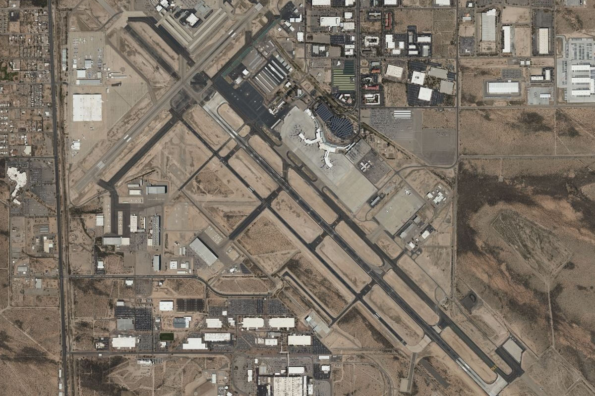
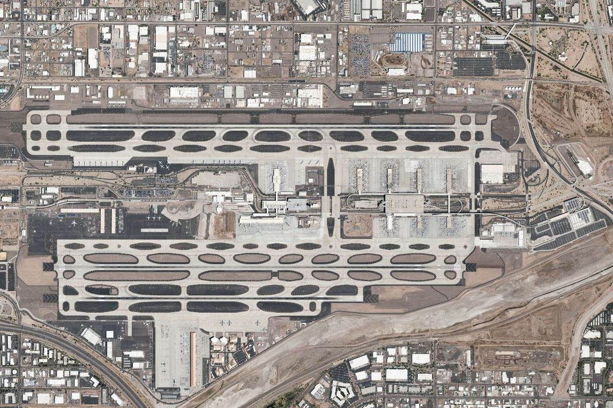
Phoenix(POI29) to KPHX(KPHX)
Distance: 3.11NM Bearing: 113° 1 minutes
After a close look a the city, head to the international airport a few miles to the city's southeast
Leg 11
Flying from KPHX
Leg Distance: 46.49 Approximate time at 125kts: 22 minutes.
KPHX(KPHX) to I-10(POI30)
Distance: 9.02NM Bearing: 158° 4 minutes
After takeoff, follow interstate 10 as it heads south past the eastern edge of South Mountain
I-10(POI30) to I-10(POI31)
Distance: 26.43NM Bearing: 137° 13 minutes
Stay with I-10 as it turns northeast
I-10(POI31) to I-8 Interchange(POI32)
Distance: 6.05NM Bearing: 170° 3 minutes
Follow the highway as it turns south and meets up with Interstate 8 heading southeast
I-8 Interchange(POI32) to E60(E60)
Distance: 4.99NM Bearing: 88° 2 minutes
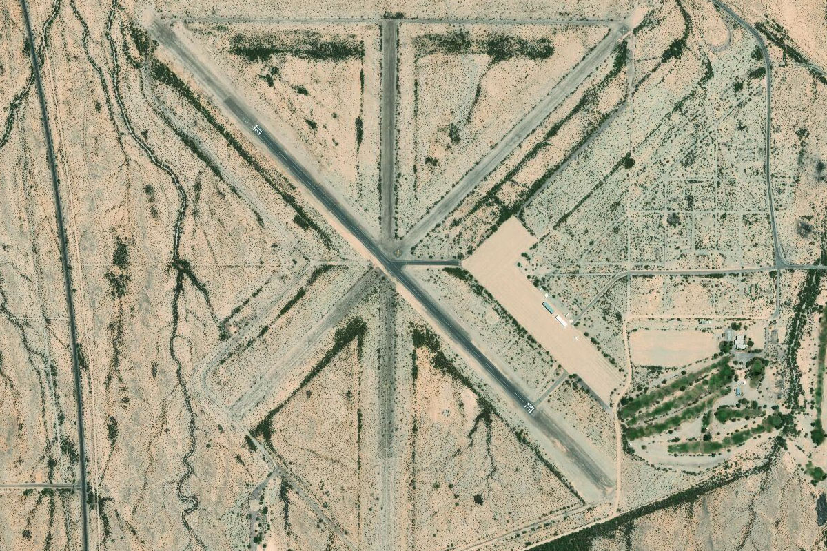
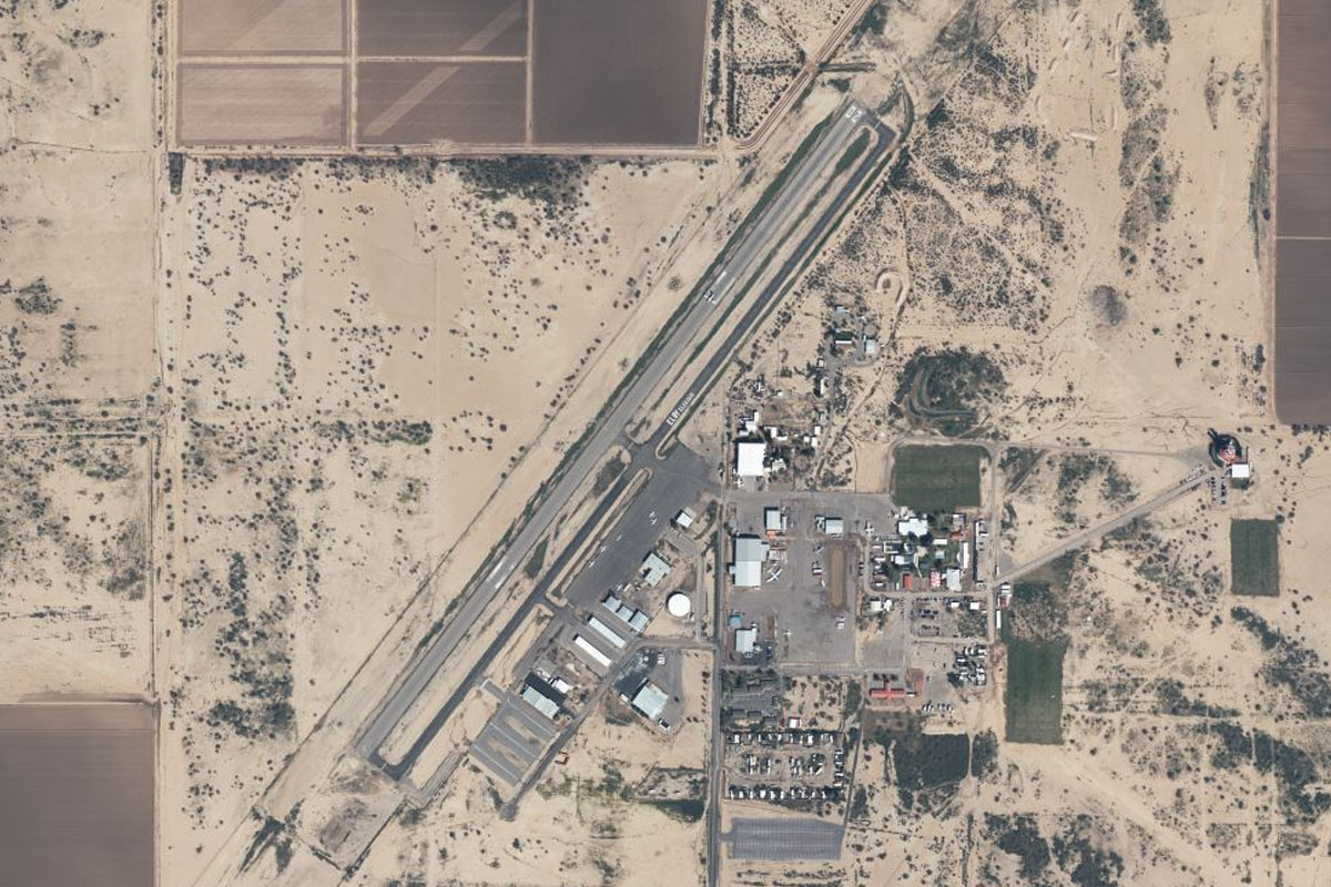
Head east from the interchange, over the large gated community and Eloy Municipal Airport a few miles beyond
Leg 12
Flying from E60
Leg Distance: 55.18 Approximate time at 125kts: 26 minutes.
E60(E60) to Picacho Peak(POI33)
Distance: 14.92NM Bearing: 124° 7 minutes
After takeoff, head southeast and follow I-10 between the two mountains of Newman Peak and Picacho Peak
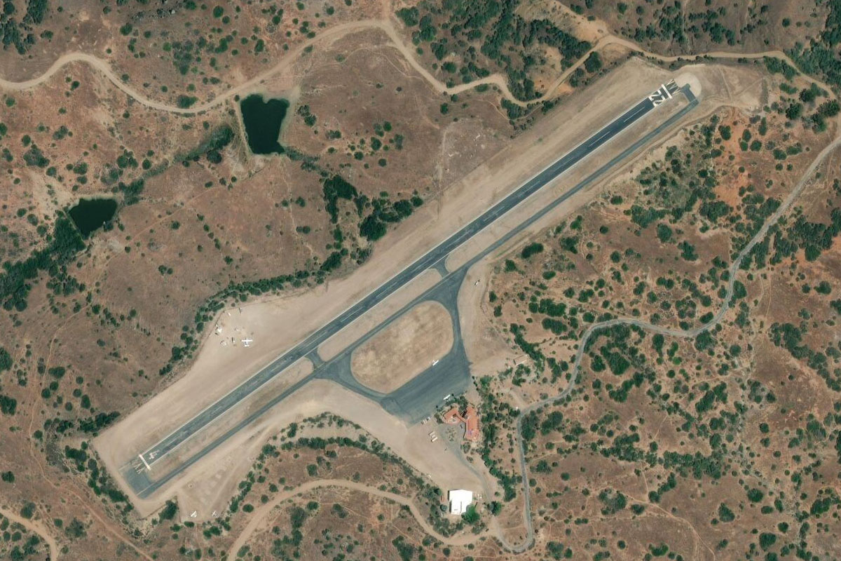
Picacho Peak(POI33) to Pinal Airpark(POI34)
Distance: 8.03NM Bearing: 154° 4 minutes
After passing Picacho Peak, head south and overfly the aircraft "boneyard" at Pinal Airpark
Pinal Airpark(POI34) to Saguaro National Park(POI35)
Distance: 15.93NM Bearing: 150° 8 minutes
After passing the airport, turn southeast and head towards the western side of the Tucson Mountains
Saguaro National Park(POI35) to Tucson Mountains(POI36)
Distance: 8.32NM Bearing: 117° 4 minutes
Fly southeast along the western edge of the Tucson Mountains, and the prominent peak of Golden Gate Mountain near the southern end of the range
Tucson Mountains(POI36) to KTUS(KTUS)
Distance: 7.98NM Bearing: 108° 4 minutes
From the southern end of the range, Tucson airport should come into view just to the left, on the city's southern outskirts