Stage 13 of the tour starts with a flyover of the giant aircraft boneyard at Davis Monthan Air Base, before you head east into New Mexico and a look at the White Sands Missile Range and former nuclear testing facility. Moving southeast into Texas, you’ll journey along the mighty Rio Grande River which forms part of the the USA/Mexico border, before heading east to one of the jewels of the Lone Star state, the city of San Antonio.
Total Legs: 23 Total Distance: 1152 Total Time(125kts): 9 hours 12 minutes
Leg 1
Flying from KTUS
Leg Distance: 53.39 Approximate time at 125kts: 26 minutes.
KTUS(KTUS) to Boneyard(POI1)
Distance: 5.05NM Bearing: 48° 2 minutes
After takeoff, head northeast to Davis Monthan Air Force Base, and the gigantic aircraft graveyard to its east
Boneyard(POI1) to I-10(POI2)
Distance: 12.72NM Bearing: 128° 6 minutes
After the boneyard, head south to meet Interstate Highway 10, then follow it southeast
I-10(POI2) to Mescal(POI3)
Distance: 16.17NM Bearing: 91° 8 minutes
Follow the highway east, past the town of Mescal, then turn south
Mescal(POI3) to Whetstone Mountains(POI4)
Distance: 16.31NM Bearing: 167° 8 minutes
Head south along the eastern edge of the Whetstone Mountains. You'll also meet highway 90 heading south towards the distant Huachuca Mountains
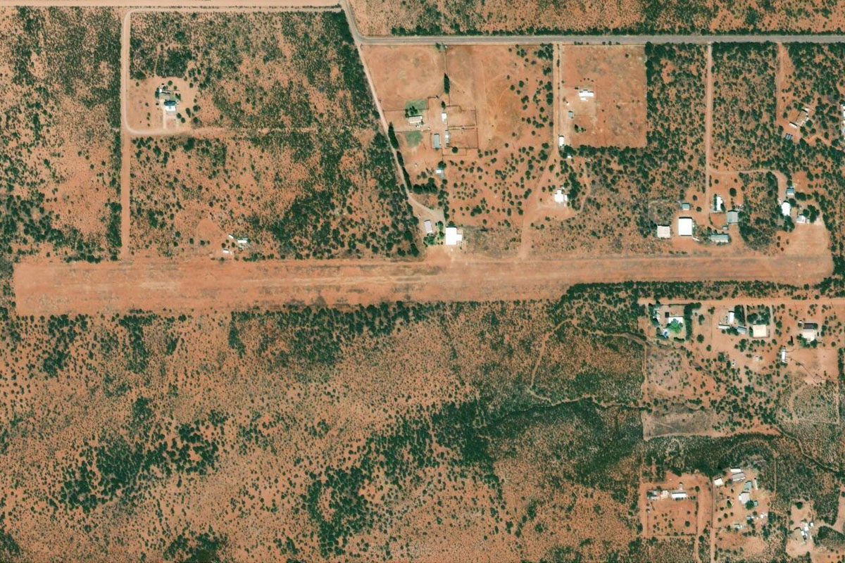
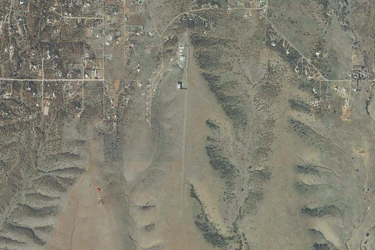
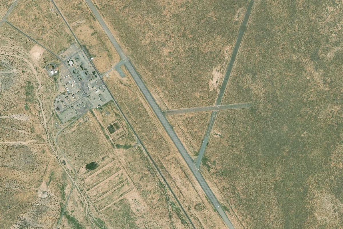
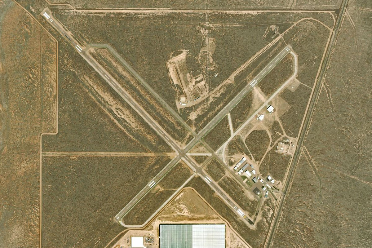
Whetstone Mountains(POI4) to 11AZ(11AZ)
Distance: 3.14NM Bearing: 90° 2 minutes
The highway will meet a T-junction with highway 82 in the town of Whetstone. From here turn east, and the dirt airstrip is a couple of miles ahead, just south of the highway
Leg 2
Flying from 11AZ
Leg Distance: 34.64 Approximate time at 125kts: 17 minutes.
11AZ(11AZ) to South Charleston Road(POI5)
Distance: 8.76NM Bearing: 86° 4 minutes
After takeoff, head east across two (usually) dry riverbeds before meeting South Charleston Road as it heads northeast through a group of hills
South Charleston Road(POI5) to Tombstone(POI6)
Distance: 3.78NM Bearing: 36° 2 minutes
Follow the road to the town of Tombstone, one of the most famous towns in Americas "Wild West" folklore. The site of the O.K Corral shootout is in the center of town, and Boot Hill Cemetery is just to the north of town
Tombstone(POI6) to Hay Mountain(POI7)
Distance: 10.23NM Bearing: 106° 5 minutes
The main street of Tombstone will point to east to the lone peak of Hay Mountain, 10 miles away
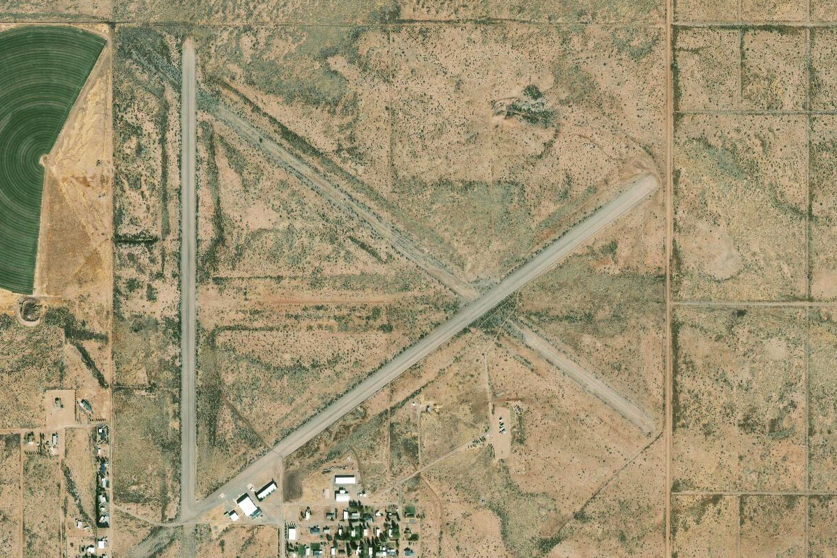
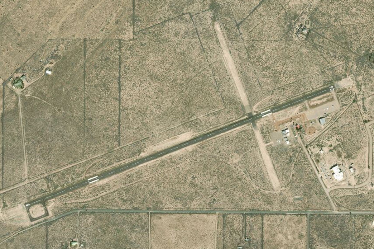
Hay Mountain(POI7) to 2AZ9(2AZ9)
Distance: 11.87NM Bearing: 92° 6 minutes
Head east from the mountain, towards the large circular crop fields, and the small town of McNeal beyond. The airfield is at the town's eastern edge
Leg 3
Flying from 2AZ9
Leg Distance: 37.45 Approximate time at 125kts: 18 minutes.
2AZ9(2AZ9) to Chiricahua Peak(POI8)
Distance: 24.05NM Bearing: 48° 12 minutes
Head northeast over the Swisshelm Mountain range, then to the larger Chiricahua Mountains. Aim just to the right of the tallest peak, Chiricahua.
Chiricahua Peak(POI8) to Portal(POI9)
Distance: 8.37NM Bearing: 44° 4 minutes
From the peaks, you should see a valley heading northeast out of the mountains. Descend along the valley to the small town of Portal at the eastern edge of the mountains
Portal(POI9) to NM70(NM70)
Distance: 5.03NM Bearing: 56° 2 minutes
Head northeast across the plain towards the hills in the distance. Halfway across the plain you will come the large dirt airstrip of Rodeo Airport
Leg 4
Flying from NM70
Leg Distance: 69.29 Approximate time at 125kts: 33 minutes.
NM70(NM70) to Peloncillo Mountains(POI10)
Distance: 10.69NM Bearing: 46° 5 minutes
After takeoff, fly northeast over the nearby Peloncillo Mountains, meeting up with state road 338 heading north on the other side
Peloncillo Mountains(POI10) to I-10(POI11)
Distance: 13.75NM Bearing: 351° 7 minutes
Follow the road north until it meets Interstate 10 heading northeast
I-10(POI11) to Lordsburg(POI12)
Distance: 9.56NM Bearing: 56° 5 minutes
Follow I-10 northeast to the town of Lordsburg
Lordsburg(POI12) to Burro Peak(POI13)
Distance: 19.91NM Bearing: 37° 10 minutes
From Lordsburg, head northeast to the dark peaks of the Burro Mountains
Burro Peak(POI13) to Mine(POI14)
Distance: 5.01NM Bearing: 31° 2 minutes
Continue northeast over the mountain to the large copper and gold mine beyond
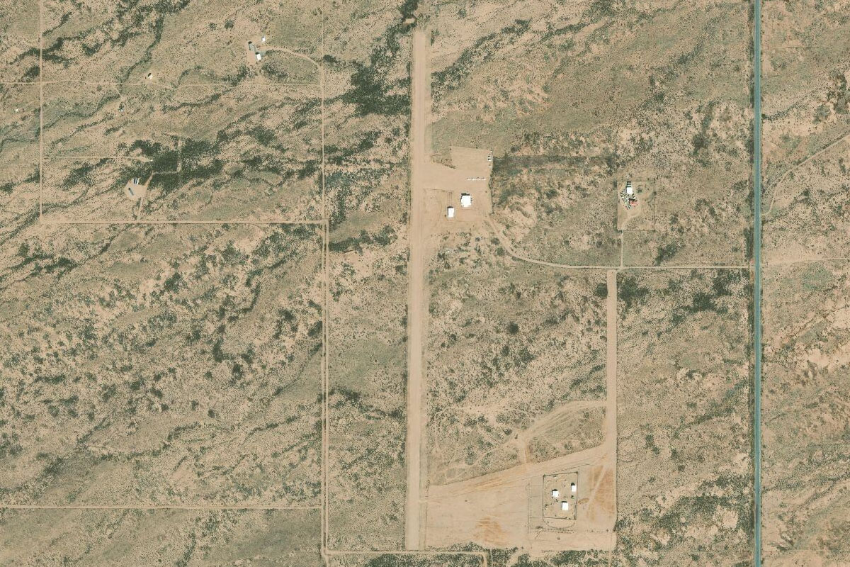
Mine(POI14) to 94E(94E)
Distance: 10.37NM Bearing: 42° 5 minutes
From the mine, continue northeast in the direction of another large mine in the distance. About half way there you should see Whiskey Creek airfield to your left
Leg 5
Flying from 94E
Leg Distance: 56.07 Approximate time at 125kts: 27 minutes.
94E(94E) to Kneeling Nun(POI15)
Distance: 8.23NM Bearing: 67° 4 minutes
After takeoff, head northeast towards the large copper mine. Below the rock bluff that juts into the south side of the mine is the rock formation called the Kneeling Nun
Kneeling Nun(POI15) to Mimbres River(POI16)
Distance: 7.51NM Bearing: 91° 4 minutes
Head east from the Kneeling Nun until you reach the Mimbres River and highway 61 heading southeast
Mimbres River(POI16) to Mimbres River(POI17)
Distance: 6.77NM Bearing: 142° 3 minutes
Follow the river and highway southeast. When the river turns away to the south, turn left and head east
Mimbres River(POI17) to Nutt Mountain(POI18)
Distance: 19.99NM Bearing: 90° 10 minutes
The land will soon flatten out. Keep heading east and fly between the two small peaks
Nutt Mountain(POI18) to NM-26(POI19)
Distance: 7.56NM Bearing: 91° 4 minutes
Continue east until you reach state highway 26 leading northeast
NM-26(POI19) to E05(E05)
Distance: 6.01NM Bearing: 53° 3 minutes
Following the highway northeast, you will find Hatch Municipal airport on the north side of the road a couple of miles before you reach the town
Leg 6
Flying from E05
Leg Distance: 52.36 Approximate time at 125kts: 25 minutes.
E05(E05) to Rio Grande(POI20)
Distance: 6.88NM Bearing: 85° 3 minutes
Head east over the town, then follow the Rio Grande River southeast
Rio Grande(POI20) to Las Cruces(POI21)
Distance: 24.39NM Bearing: 141° 12 minutes
The river will lead you to the western side of Las Cruces
Las Cruces(POI21) to Organ Mountains(POI22)
Distance: 14.83NM Bearing: 87° 7 minutes
Once you reach the center of Las Cruces, head east across town towards the Organ Mountains. Fly through the low point in the southern half of the mountains
Organ Mountains(POI22) to KWSD(KWSD)
Distance: 6.26NM Bearing: 57° 3 minutes
After passing over the mountain range, turn northeast to Condron Army Airfield, which sits within the White Sands Missile Range
Leg 7
Flying from KWSD
Leg Distance: 36.58 Approximate time at 125kts: 18 minutes.
KWSD(KWSD) to Black Mountain(POI23)
Distance: 11.35NM Bearing: 347° 5 minutes
After takeoff, head north and fly along the eastern side of the Organ Mountains
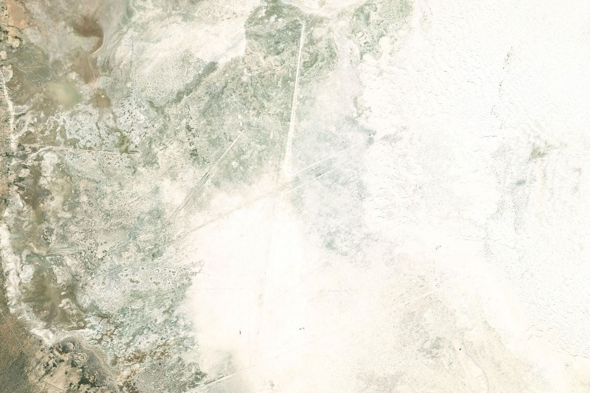
Black Mountain(POI23) to White Sands National Park(POI24)
Distance: 16.85NM Bearing: 352° 8 minutes
Continue north to the bleached landscape of White Sands National Park, which is within the White Sands Missile Range
White Sands National Park(POI24) to KHOL(KHOL)
Distance: 8.38NM Bearing: 356° 4 minutes
Continue to the northern region of the white plain, to the White Sands Space Harbour. Test your skill landing on one of the 35000ft runways, a backup landing strip for the space shuttle program
Leg 8
Flying from KHOL
Leg Distance: 58.38 Approximate time at 125kts: 28 minutes.
KHOL(KHOL) to Oscura Mountains(POI25)
Distance: 35.55NM Bearing: 359° 17 minutes
Head north after takeoff until you reach the ridgeline of the Oscura Mountains running northwest, with a road also heading northwest between the mountain ranges
Oscura Mountains(POI25) to Trinity Site(POI26)
Distance: 10.99NM Bearing: 315° 5 minutes
Follow the road northwest and it will lead you to the Trinity Site, the site of the world's first nuclear explosion in 1945
Trinity Site(POI26) to 95E(95E)
Distance: 11.84NM Bearing: 307° 6 minutes
12 miles northwest of the Trinity Site, just near a group of low, dark hills, is the Stallion Army Airfield
Leg 9
Flying from 95E
Leg Distance: 42.05 Approximate time at 125kts: 20 minutes.
95E(95E) to Valley of Fires(POI27)
Distance: 36.14NM Bearing: 90° 17 minutes
Head east after takeoff. When you reach the black landscape of the Valley of Fires, turn south
Valley of Fires(POI27) to US-380(POI28)
Distance: 2.56NM Bearing: 180° 1 minutes
Follow the lava bed south until you reach highway 380, cutting southeast through the landscape
US-380(POI28) to F37(F37)
Distance: 3.35NM Bearing: 140° 2 minutes
The highway will lead to the town of Carrizozo, with the airport just west of the town
Leg 10
Flying from F37
Leg Distance: 44.04 Approximate time at 125kts: 21 minutes.
F37(F37) to Sacramento Mountains(POI29)
Distance: 13.83NM Bearing: 205° 7 minutes
After takeoff, head south along the western edge of the Sacramento Mountains
Sacramento Mountains(POI29) to Tularosa(POI30)
Distance: 22.94NM Bearing: 169° 11 minutes
Keep heading down the western side of the mountain range, where you will meet up with highway 54 heading south to the town of Tularosa
Tularosa(POI30) to 72NM(72NM)
Distance: 7.27NM Bearing: 153° 3 minutes
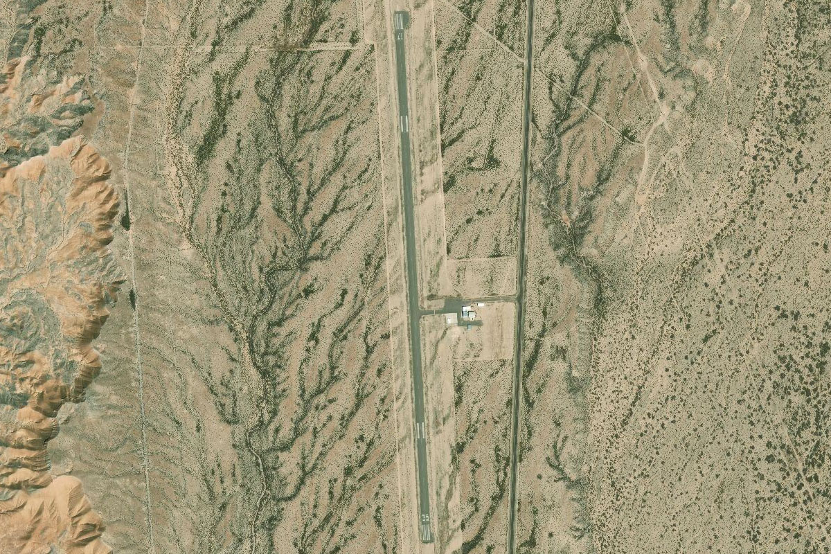
Follow the highway southeast from Tularosa towards Alamogordo. The large dirt strip of Otero Mill is just to the left of the highway on the northern edge of town
Leg 11
Flying from 72NM
Leg Distance: 24.89 Approximate time at 125kts: 12 minutes.
72NM(72NM) to Alamogordo(POI31)
Distance: 4.77NM Bearing: 165° 2 minutes
Fly south over the town of Alamogordo, then turn southeast towards the mountains
Alamogordo(POI31) to Sacramento Peak(POI32)
Distance: 9.13NM Bearing: 121° 4 minutes
Heading southeast from the town, climb over the western foothills of the mountains until you reach a highway winding its way southeast
Sacramento Peak(POI32) to E02(E02)
Distance: 10.99NM Bearing: 139° 5 minutes
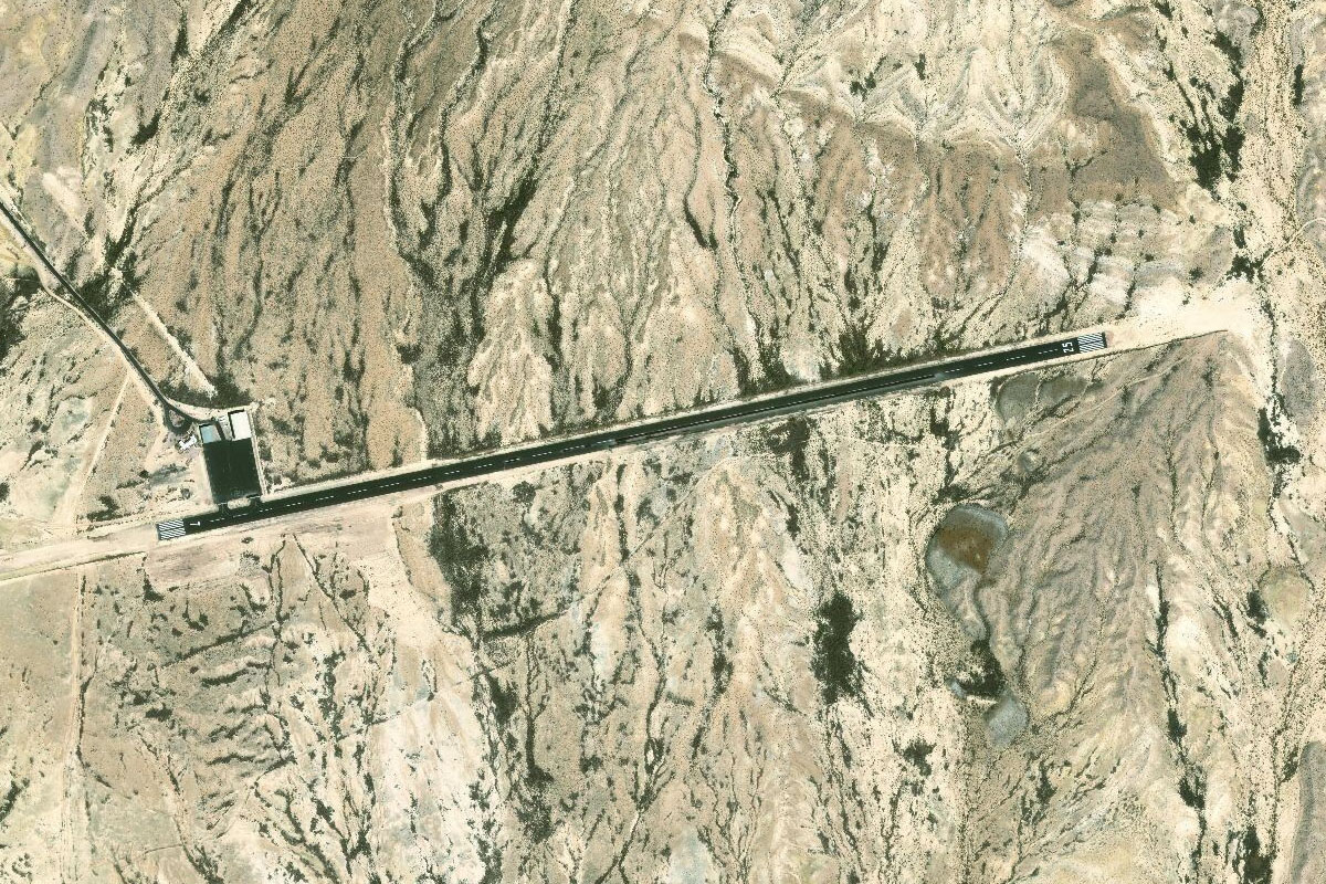
The road will lead you directly to Timberon airfield, in a lower region of the mountains
Leg 12
Flying from E02
Leg Distance: 48.7 Approximate time at 125kts: 23 minutes.
E02(E02) to Brokeoff Mountains(POI33)
Distance: 33.04NM Bearing: 136° 16 minutes
Head southeast down to flat land, and fly along the western edge of the hills as they point you in the direction of Guadalupe Peak in the distance, and the state of Texas
Brokeoff Mountains(POI33) to 2E5(2E5)
Distance: 15.66NM Bearing: 153° 8 minutes
When you see farmland to your south, turn and head to the town of Dell City and its airport, which are surrounded by a group of circular crop fields

Leg 13
Flying from 2E5
Leg Distance: 66.09 Approximate time at 125kts: 32 minutes.
2E5(2E5) to Guadalupe Peak(POI34)
Distance: 18.19NM Bearing: 105° 9 minutes
Head east from Dell City to Guadalupe Peak at the southern tip of the Guadalupe Mountains, which also house the massive Carlsbad Caverns cave system
Guadalupe Peak(POI34) to TX-54(POI35)
Distance: 29.9NM Bearing: 170° 14 minutes
From the southern tip of the mountains, head south along with state highway 54
TX-54(POI35) to Baylor Mountains(POI36)
Distance: 7.68NM Bearing: 189° 4 minutes
Keep following the road south as it passes between Diablo Mountains and Baylor Mountains
Baylor Mountains(POI36) to KVHN(KVHN)
Distance: 10.32NM Bearing: 149° 5 minutes
The highway will make a left then right turn to pass between the Baylor and Beach Mountain ranges, before heading south to the town of Van Horn. He airport is a couple of miles east of the town

Leg 14
Flying from KVHN
Leg Distance: 63.66 Approximate time at 125kts: 31 minutes.
KVHN(KVHN) to US-90(POI37)
Distance: 9.02NM Bearing: 180° 4 minutes
After takeoff, head south and meet up with US highway 90 which will lead you southeast
US-90(POI37) to Ryan Flat(POI38)
Distance: 43.35NM Bearing: 131° 21 minutes
Follow the highway southeast along its arrow straight traverse of Ryan Flat
Ryan Flat(POI38) to KMRF(KMRF)
Distance: 11.29NM Bearing: 86° 5 minutes
As the highway turns towards the town of Marfa, head east to the airport just north of the town
Leg 15
Flying from KMRF
Leg Distance: 48.46 Approximate time at 125kts: 23 minutes.
KMRF(KMRF) to US-67(POI39)
Distance: 12.1NM Bearing: 189° 6 minutes
After takeoff, head south over the town. US highway 67 will lead you south from there
US-67(POI39) to Chinati Mountains(POI40)
Distance: 28.27NM Bearing: 204° 14 minutes
Follow the highway as it heads south and through the lower foothills of the Chinati Mountains
Chinati Mountains(POI40) to KPRS(KPRS)
Distance: 8.09NM Bearing: 178° 4 minutes
The highway will lead straight past Presidio Airport, a few miles north of the town which sits on the USA/Mexico border
Leg 16
Flying from KPRS
Leg Distance: 46.11 Approximate time at 125kts: 22 minutes.
KPRS(KPRS) to Presidio(POI41)
Distance: 5.32NM Bearing: 176° 3 minutes
Head south to the town, then follow the Rio Grande River east
Presidio(POI41) to Rio Grande(POI42)
Distance: 25.33NM Bearing: 120° 12 minutes
Follow the Rio Grande River as it carves its way southeast. It forms part of the border between the USA and Mexico and is known as the Rio Bravo in Mexico
Rio Grande(POI42) to Latijas(POI43)
Distance: 10.53NM Bearing: 96° 5 minutes
Continue east along the river until it turns south at the small town of Latijas
Latijas(POI43) to T89(T89)
Distance: 4.93NM Bearing: 71° 2 minutes
Head east over the small town and you should see the airfield on the flat land a few miles ahead
Leg 17
Flying from T89
Leg Distance: 52.87 Approximate time at 125kts: 25 minutes.
T89(T89) to Rio Grande(POI44)
Distance: 5.07NM Bearing: 244° 2 minutes
After takeoff, head west back to the town of Latijas
Rio Grande(POI44) to Rio Grande(POI45)
Distance: 5.07NM Bearing: 137° 2 minutes
Follow the river southeast as the valley tightens into Santa Elena Canyon
Rio Grande(POI45) to Santa Elena Canyon(POI46)
Distance: 5.94NM Bearing: 94° 3 minutes
Follow the river east as it heads through Santa Elena Canyon
Santa Elena Canyon(POI46) to Chisos Mountains(POI47)
Distance: 15.44NM Bearing: 82° 7 minutes
After the river leaves the canyon, head east to the Chisos Mountains, which lie within Big Bend National Park. Aim to be a few miles south of the tallest point, Emory Peak
Chisos Mountains(POI47) to Rio Grande(POI48)
Distance: 16.31NM Bearing: 89° 8 minutes
From the Chisos Mountains, head east between the two smaller mountains and back to the Rio Grande River
Rio Grande(POI48) to KSAH(KSAH)
Distance: 5.04NM Bearing: 66° 2 minutes
Follow the river northeast to the small town of Boquillas del Carmen. The dirt airstrip is a couple of miles southeast of the town

Leg 18
Flying from KSAH
Leg Distance: 16.96 Approximate time at 125kts: 8 minutes.
KSAH(KSAH) to Rio Grande(POI49)
Distance: 10.35NM Bearing: 4° 5 minutes
After takeoff, follow the river north as is flows through another canyon
Rio Grande(POI49) to 1XS7(1XS7)
Distance: 6.61NM Bearing: 16° 3 minutes
Stay with the river as it turns east then north again. Just west of the Mexican border town of La Linda is the dirt airstrip at Heath Canyon

Leg 19
Flying from 1XS7
Leg Distance: 58.24 Approximate time at 125kts: 28 minutes.
1XS7(1XS7) to Rio Grande(POI50)
Distance: 19.51NM Bearing: 20° 9 minutes
After takeoff, continue following the river north
Rio Grande(POI50) to Rio Grande(POI51)
Distance: 14.84NM Bearing: 79° 7 minutes
The river will cut through deeper canyons as it heads east
Rio Grande(POI51) to Rio Grande(POI52)
Distance: 7.61NM Bearing: 23° 4 minutes
Keep following the river at it turns back towards the north.
Rio Grande(POI52) to US-90(POI53)
Distance: 10.9NM Bearing: 356° 5 minutes
Where the river turns away to the east and the canyons become shallower, turn and head north across the flatter terrain where you will soon meet highway 90
US-90(POI53) to 6R6(6R6)
Distance: 5.38NM Bearing: 94° 3 minutes
Follow highway 90 east to the Terrell County airfield, which sits adjacent to the road

Leg 20
Flying from 6R6
Leg Distance: 49.55 Approximate time at 125kts: 24 minutes.
6R6(6R6) to Langtry(POI54)
Distance: 36.9NM Bearing: 107° 18 minutes
Follow the highway east across the flat Texas landscape. You will eventually reach the town of Langtry on the bank of the Rio Grande River
Langtry(POI54) to XA49(XA49)
Distance: 12.65NM Bearing: 351° 6 minutes
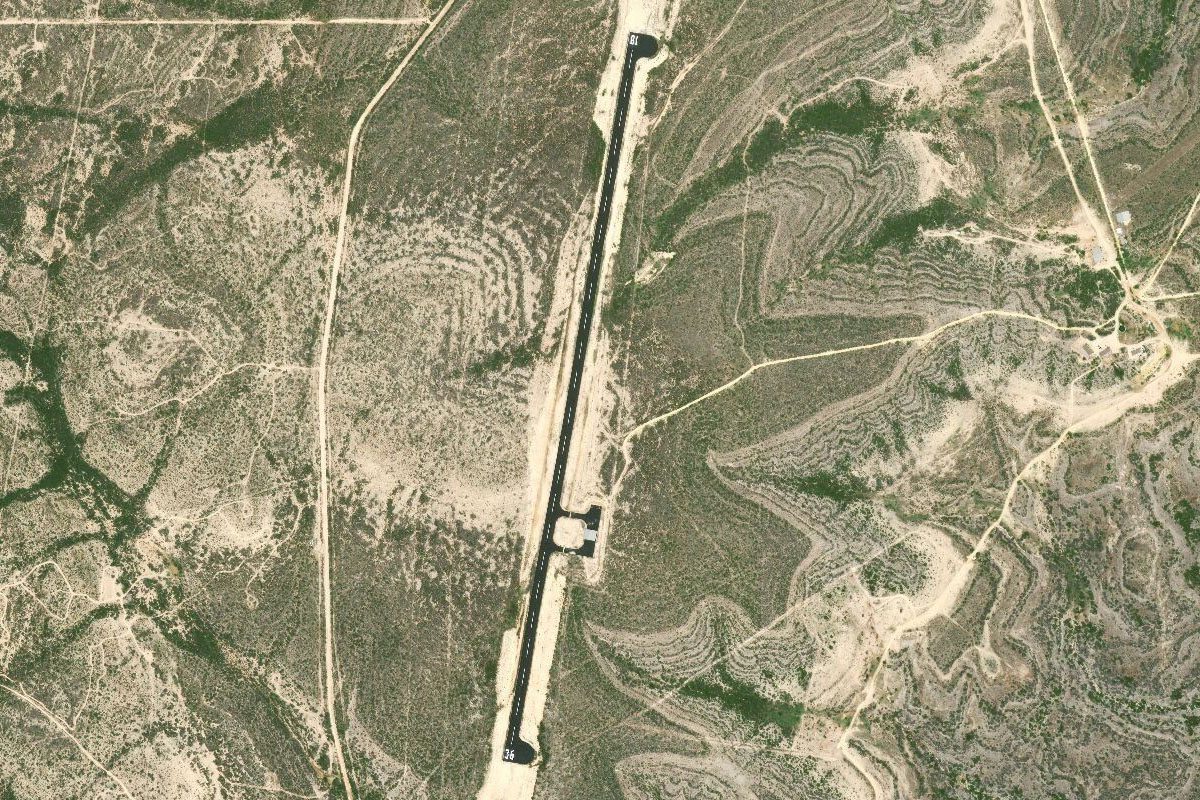
Head north from Langtry. A dirt road will lead the way to Oso Canyon airstrip
Leg 21
Flying from XA49
Leg Distance: 53.63 Approximate time at 125kts: 26 minutes.
XA49(XA49) to Amistad Reservoir(POI55)
Distance: 32.91NM Bearing: 145° 16 minutes
After takeoff, head southeast and follow the Rio Grand once again. It will eventually lead you to the large Amistad Reservoir
Amistad Reservoir(POI55) to Governor’s Landing Bridge(POI56)
Distance: 12.28NM Bearing: 104° 6 minutes
Head east along the reservoir. Once you read the road and rail bridge crossing a narrow section of the reservoir, turn southeast towards the large town of Del Rio
Governor’s Landing Bridge(POI56) to KDRT(KDRT)
Distance: 8.44NM Bearing: 135° 4 minutes
Del Rio International Airport sits on the western edge of the town
Leg 22
Flying from KDRT
Leg Distance: 58.55 Approximate time at 125kts: 28 minutes.
KDRT(KDRT) to US-90(POI57)
Distance: 19.89NM Bearing: 91° 10 minutes
Fly east over the town of Del Rio, then Laughlin Air Force Base, the largest pilot training base in the USAF. You will eventually meet up with US highway 90 heading east
US-90(POI57) to Anacacho Mountains(POI58)
Distance: 22.93NM Bearing: 101° 11 minutes
The landscape will start to turn greener as the highway runs east past the Anacacho Mountains wind farm, and onto the farmlands of Southern Texas
Anacacho Mountains(POI58) to 2XS8(2XS8)
Distance: 15.73NM Bearing: 88° 8 minutes
The highway will pass through the town of Uvalde, with the small Benson airstrip in farmland just west of the town

Leg 23
Flying from 2XS8
Leg Distance: 80.38 Approximate time at 125kts: 39 minutes.
2XS8(2XS8) to US-90(POI59)
Distance: 15.91NM Bearing: 66° 8 minutes
Head east after takeoff, and meet back up with US-90 on the other side of Uvalde as it heads northeast
US-90(POI59) to Castroville(POI60)
Distance: 37.45NM Bearing: 82° 18 minutes
Follow the highway east, passing the towns of Sabinal, Hondo and Castroville
Castroville(POI60) to Kelly Field(POI61)
Distance: 12.77NM Bearing: 73° 6 minutes
Keep following the highway as it enters the outskirts of San Antonio, passing Kelly Field, a former Air Force Base
Kelly Field(POI61) to I-37 Interchange(POI62)
Distance: 5.9NM Bearing: 94° 3 minutes
The highway will take you to the south side of San Antonio. Turn north at the interchange with I-37 and follow it to the east side of the city
I-37 Interchange(POI62) to KSAT(KSAT)
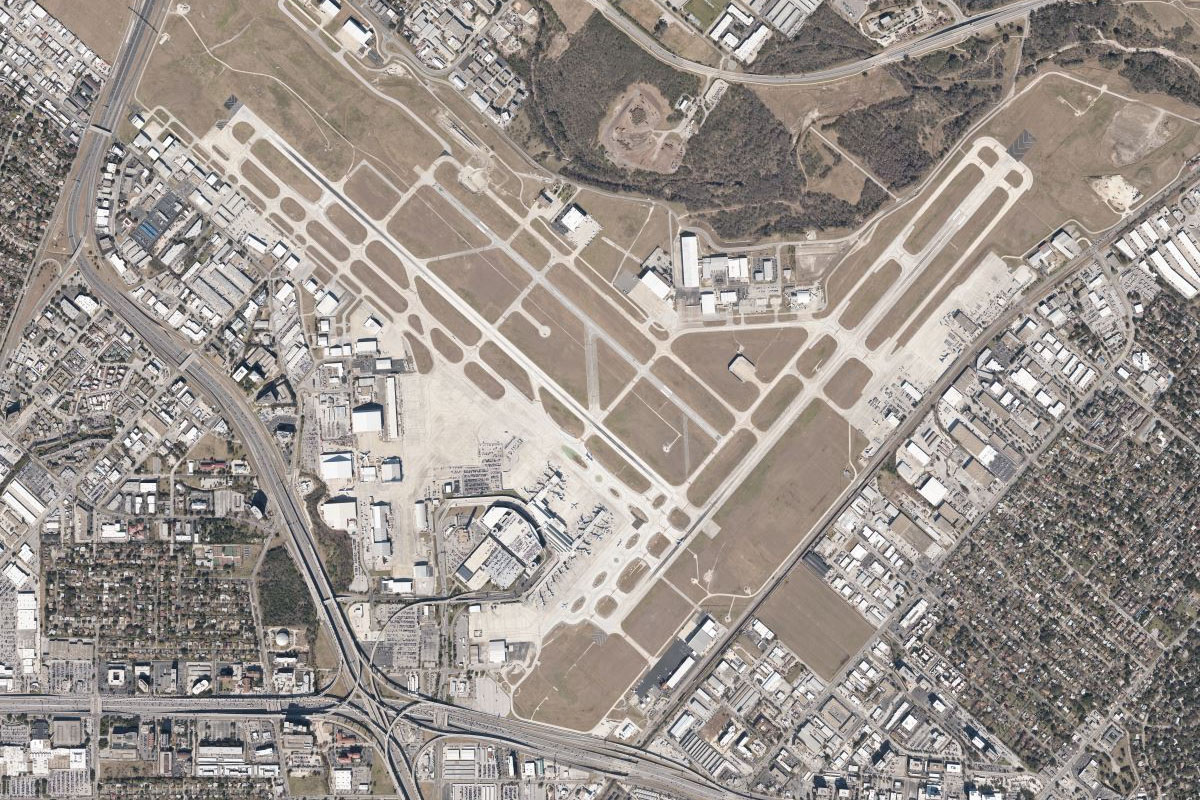
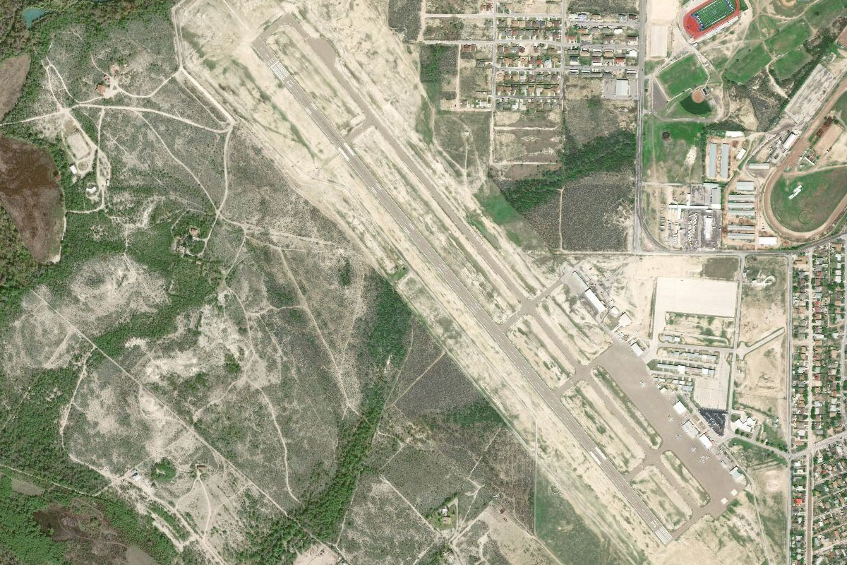
Distance: 8.35NM Bearing: 0° 4 minutes
Heading north past the city, the most visible landmarks will be the Alamodome sporting arena and the Tower of the Americas. The legendary Alamo fort and museum sits in the eastern part of downtown. Continue north to San Antonio International