Kicking off stage 14 of our world tour in San Antonio, Texas, you’ll head through Austin and Houston and make your way to the Gulf coast via the Houston Shipping Channel. The last major US city for this part of the tour will be Corpus Christi, before you head into Mexico. The Sierra Madre Oriental mountain range will be the backdrop for the rest of this stage, as you make your way from Monterrey in the north to Mexico City in the south, the largest Spanish speaking city in the world, and also home to the amazing ancient city of Teotihuacan.
Total Legs: 22 Total Distance: 1224 Total Time(125kts): 9 hours 47 minutes
Leg 1
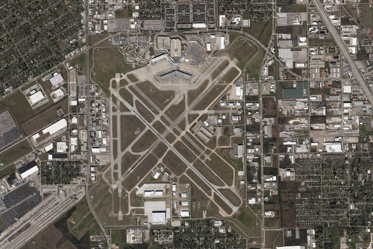
Flying from KSAT
Leg Distance: 41.27 Approximate time at 125kts: 20 minutes.
KSAT(KSAT) to I-35(POI1)
Distance: 5.19NM Bearing: 79° 2 minutes
After takeoff, head east to meet Interstate 35
I-35(POI1) to New Braunfels(POI2)
Distance: 19.66NM Bearing: 50° 9 minutes
Follow I-35 northeast to the city of New Braunfels. Once you pass the eastern end of the city and have the airport to your right, turn north
New Braunfels(POI2) to Blanco River(POI3)
Distance: 14.97NM Bearing: 0° 7 minutes
Fly north to Blanco River
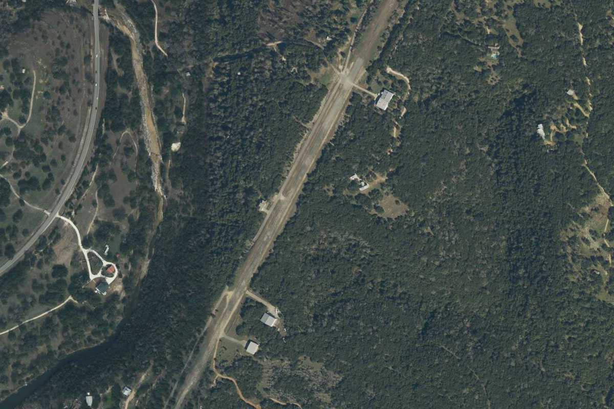
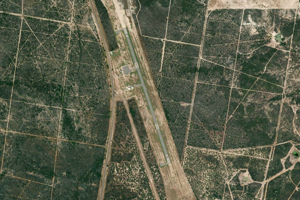
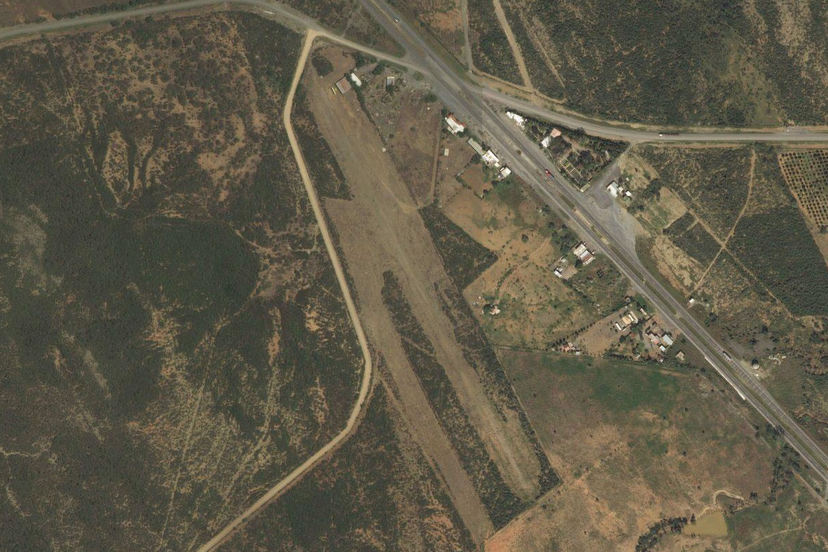
Blanco River(POI3) to 3TS1(3TS1)
Distance: 1.45NM Bearing: 15° 1 minutes
Once you reach the river, the airport is on a small hill less than 2 miles north of the river
Leg 2
Flying from 3TS1
Leg Distance: 42.49 Approximate time at 125kts: 20 minutes.
3TS1(3TS1) to Austin(POI4)
Distance: 19.34NM Bearing: 47° 9 minutes
Fly northeast to the south of Austin and meet up with I-35 heading north
Austin(POI4) to US-290 Interchange(POI5)
Distance: 6.77NM Bearing: 18° 3 minutes
Flying along the eastern edge of downtown Austin you'll get a great view of the Texas Capitol building before continuing north to the interchange with highway 290
US-290 Interchange(POI5) to Manor(POI6)
Distance: 8.08NM Bearing: 75° 4 minutes
Follow highway 290 northeast
Manor(POI6) to Elm Creek(POI7)
Distance: 6.51NM Bearing: 85° 3 minutes
Continue east along US-290 past the town of Manor. Before you reach Elgin, there will be a residential estate on the south side of the highway. From here, turn north
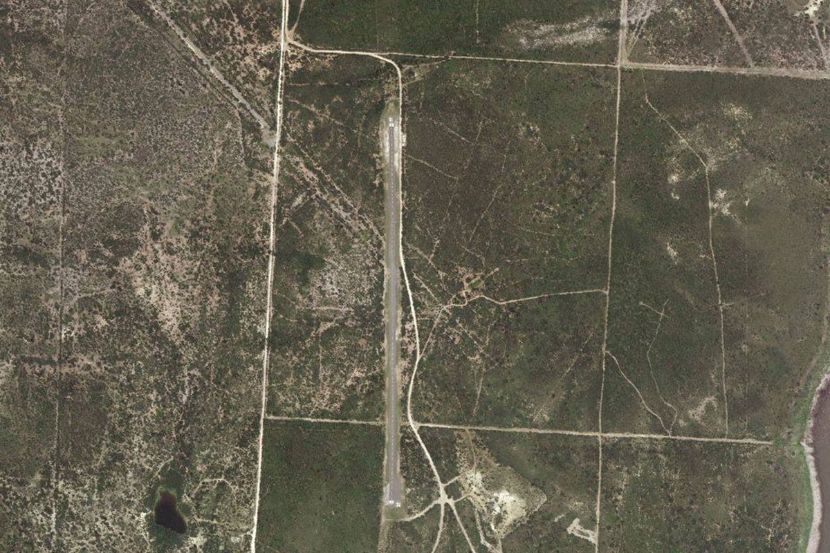
Elm Creek(POI7) to 1XS2(1XS2)
Distance: 1.79NM Bearing: 3° 1 minutes
Skye Dance airfield is less than 2 miles north of the highway
Leg 3
Flying from 1XS2
Leg Distance: 60.31 Approximate time at 125kts: 29 minutes.
1XS2(1XS2) to Paige(POI8)
Distance: 17.97NM Bearing: 122° 9 minutes
After takeoff, head southeast over the town of Elgin, and back to US-290 as it heads southeast
Paige(POI8) to Ledbetter(POI9)
Distance: 20.36NM Bearing: 99° 10 minutes
Continue along highway 290 past the towns of Giddings and Ledbetter
Ledbetter(POI9) to Brenham(POI10)
Distance: 18.63NM Bearing: 82° 9 minutes
The highway will turn east and lead to the larger town of Brenham
Brenham(POI10) to 11R(11R)
Distance: 3.35NM Bearing: 20° 2 minutes
From Brenham, turn northeast to the municipal airport 3 miles from town
Leg 4
Flying from 11R
Leg Distance: 72.49 Approximate time at 125kts: 35 minutes.
11R(11R) to US-290(POI11)
Distance: 7.21NM Bearing: 130° 3 minutes
Fly southeast until you reach highway 290, and follow it east
US-290(POI11) to Fairfield(POI12)
Distance: 27.44NM Bearing: 105° 13 minutes
Follow the highway as it heads east past the town of Hempstead, and the college campus at Prairie View
Fairfield(POI12) to Houston(POI13)
Distance: 24.85NM Bearing: 122° 12 minutes
Continue southeast towards Houston. The railway running alongside highway 290 will lead you directly to the city
Houston(POI13) to Astrodome(POI14)
Distance: 5.24NM Bearing: 205° 3 minutes
Fly along the western edge of the downtown area as you head southwest towards the multi high-rise Texas Medical Center and the stadiums beyond
Astrodome(POI14) to KHOU(KHOU)
Distance: 7.75NM Bearing: 108° 4 minutes
From the Astrodome and the football stadium, turn east and head for Houston Hobby airport
Leg 5
Flying from KHOU
Leg Distance: 54.4 Approximate time at 125kts: 26 minutes.
KHOU(KHOU) to Houston Shipping Channel(POI15)
Distance: 7.16NM Bearing: 34° 3 minutes
Head northeast to the waters of the Houston Shipping Channel, one of the busiest waterways in the world
Houston Shipping Channel(POI15) to San Jacinto Monument(POI16)
Distance: 6.55NM Bearing: 79° 3 minutes
Follow the shipping channel east to the San Jacinto Battleground Monument
San Jacinto Monument(POI16) to Morgan’s Point(POI17)
Distance: 6.77NM Bearing: 132° 3 minutes
Turn and follow the channel southeast past the Fred Hartman Bridge and Morgan's Point container terminal
Morgan’s Point(POI17) to Seabrook(POI18)
Distance: 7.79NM Bearing: 192° 4 minutes
Head south over the Bayport container terminal, to the Clear Lake opening at Seabrook
Seabrook(POI18) to Houston Space Center(POI19)
Distance: 3.7NM Bearing: 268° 2 minutes
Head west along the lake and just past the small marina on the western shore lies the NASA Johnson Space Center, which was Mission Control for the Apollo 11 moon landing
Houston Space Center(POI19) to South Gulf Freeway(POI20)
Distance: 5.2NM Bearing: 182° 2 minutes
Head south from the Space Center to I-45, the South Gulf Freeway
South Gulf Freeway(POI20) to KGLS(KGLS)
Distance: 17.23NM Bearing: 133° 8 minutes
Follow I-45 southeast until it crosses the Galveston Causeway, from there the airport will be just south of the highway
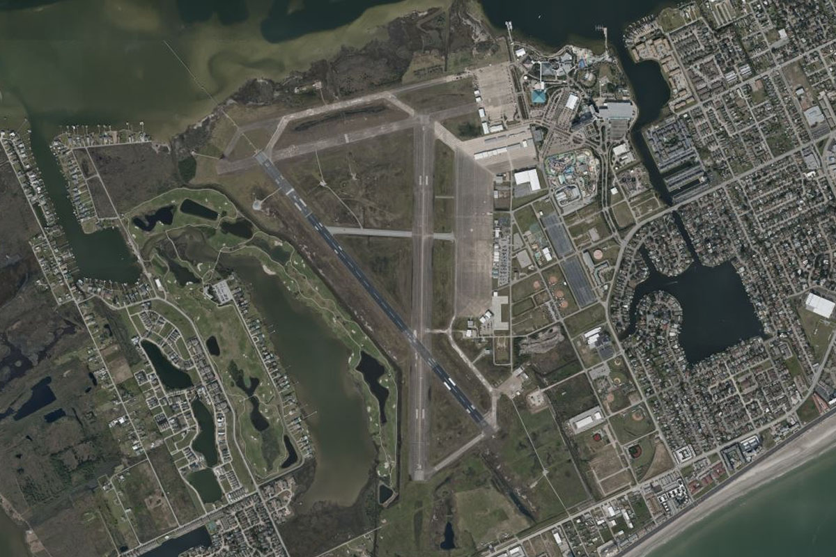
Leg 6
Flying from KGLS
Leg Distance: 45.32 Approximate time at 125kts: 22 minutes.
KGLS(KGLS) to Surfside(POI21)
Distance: 30.28NM Bearing: 229° 15 minutes
Fly southwest along the coast to the beachside town of Surfside, which lies at the opening of Freeport Harbour Channel
Surfside(POI21) to Freeport(POI22)
Distance: 4.85NM Bearing: 295° 2 minutes
Fly northwest past Freeport, to the large Dow chemical plant. Turn west when you reach the plant
Freeport(POI22) to 2TE0(2TE0)
Distance: 10.19NM Bearing: 270° 5 minutes
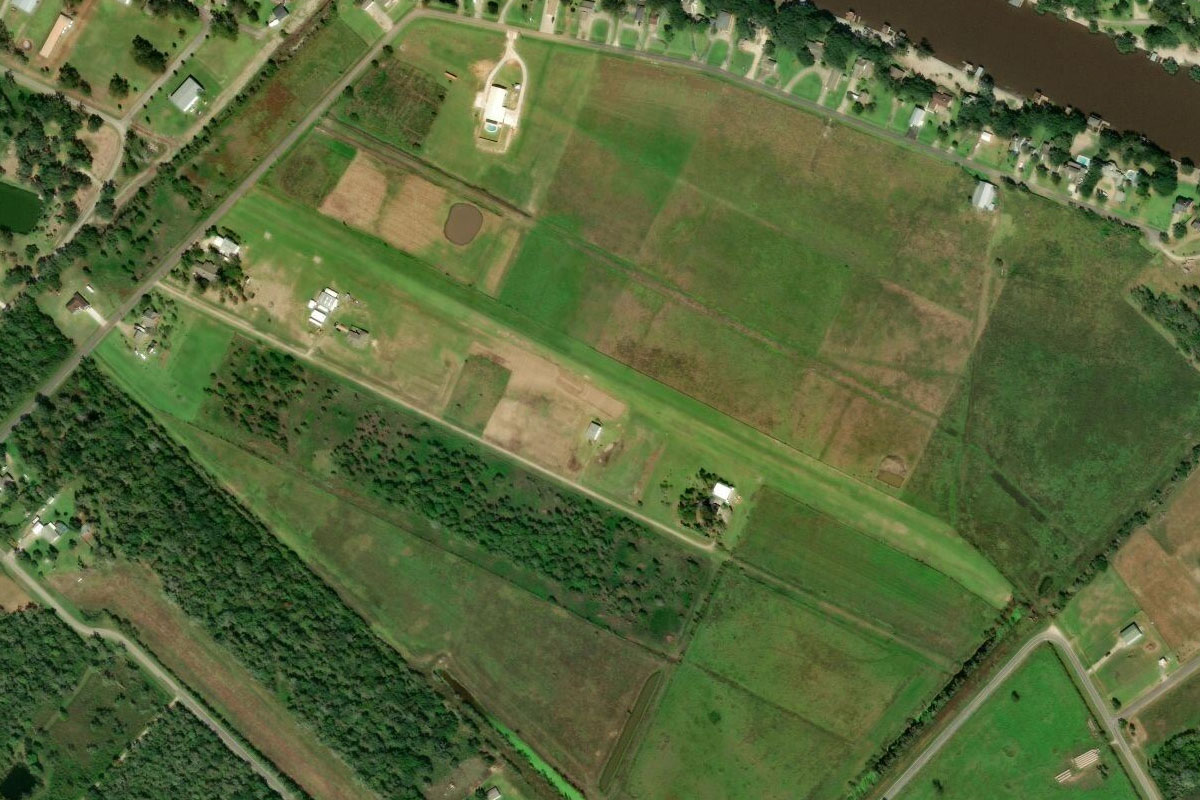
Heading west, you'll cross the Brazos River and some farmland before meeting the San Bernard river near another chemical plant. Just south of the river is the grass strip of Eagle Air Park
Leg 7
Flying from 2TE0
Leg Distance: 39.35 Approximate time at 125kts: 19 minutes.
2TE0(2TE0) to Matagorda Peninsula(POI23)
Distance: 31.17NM Bearing: 221° 15 minutes
After takeoff, head southwest to the coast, crossing East Matagorda Bay
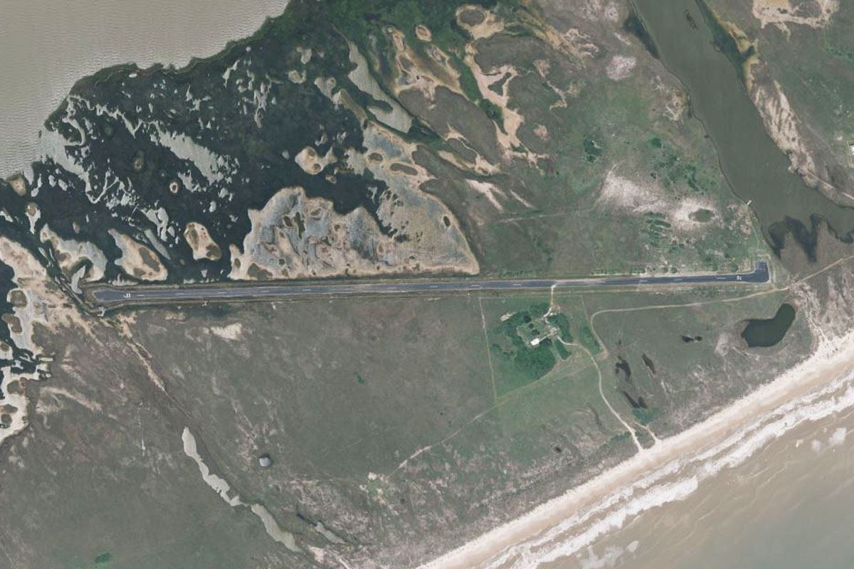
Matagorda Peninsula(POI23) to KPAA(KPAA)
Distance: 8.18NM Bearing: 244° 4 minutes
Fly southwest along the narrow peninsula to Matagorda Peninsula Airport
Leg 8
Flying from KPAA
Leg Distance: 57.58 Approximate time at 125kts: 28 minutes.
KPAA(KPAA) to Matagorda Island(POI24)
Distance: 20.39NM Bearing: 231° 10 minutes
Continue southwest along the peninsula
Matagorda Island(POI24) to San Jose Island(POI25)
Distance: 27.53NM Bearing: 234° 13 minutes
Fly southwest along the coast to San Jose Island, Then fly west across Aransas Bay towards the Copano Bay road causeway
San Jose Island(POI25) to KRKP(KRKP)
Distance: 9.66NM Bearing: 268° 5 minutes
Aransas County Airport sits on the peninsula a couple of miles south of the causeway
Leg 9
Flying from KRKP
Leg Distance: 33.59 Approximate time at 125kts: 16 minutes.
KRKP(KRKP) to Aransas Pass(POI26)
Distance: 11.63NM Bearing: 209° 6 minutes
Head southwest after takeoff and follow state highway 35
Aransas Pass(POI26) to Corpus Christi(POI27)
Distance: 13.99NM Bearing: 238° 7 minutes
The highway will head over Nueces Bay Causeway before heading to downtown Corpus Christi
Corpus Christi(POI27) to Corpus Christi(POI28)
Distance: 1.97NM Bearing: 178° 1 minutes
Fly south over the downtown area
Corpus Christi(POI28) to KCRP(KCRP)
Distance: 6NM Bearing: 263° 3 minutes
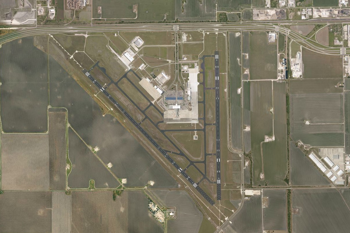
After passing downtown, fly west to Corpus Christi International Airport
Leg 10
Flying from KCRP
Leg Distance: 57.76 Approximate time at 125kts: 28 minutes.
KCRP(KCRP) to Alazan Bay(POI29)
Distance: 26.81NM Bearing: 183° 13 minutes
Fly south until you reach Alazan Bay
Alazan Bay(POI29) to Laguna Salada(POI30)
Distance: 13.79NM Bearing: 254° 7 minutes
Turn right and fly along the bay to its western extremity at Laguna Salada
Laguna Salada(POI30) to KBKS(KBKS)
Distance: 17.16NM Bearing: 254° 8 minutes
Continue west, following state highway 285 as it leads to the town of Falfurrias. The airport is just before town a mile south of the highway
Leg 11
Flying from KBKS
Leg Distance: 45.95 Approximate time at 125kts: 22 minutes.
KBKS(KBKS) to US-281(POI31)
Distance: 26.04NM Bearing: 174° 12 minutes
Fly south from Falfurrias, following US highway 281
US-281(POI31) to KEBG(KEBG)
Distance: 19.91NM Bearing: 181° 10 minutes
Continue south along the highway towards the town of Edinburg. The airport is 8 miles north of town on the left side of the highway
Leg 12
Flying from KEBG
Leg Distance: 53.84 Approximate time at 125kts: 26 minutes.
KEBG(KEBG) to McAllen(POI32)
Distance: 14.72NM Bearing: 189° 7 minutes
After takeoff, head south to the large border town of McAllen
McAllen(POI32) to US-83(POI33)
Distance: 17.78NM Bearing: 276° 9 minutes
From McAllen, turn west and follow highway 83 out of town
US-83(POI33) to Rio Grande City(POI34)
Distance: 18.3NM Bearing: 292° 9 minutes
Follow the highway as it heads west to Rio Grande City
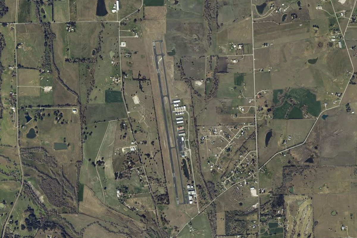
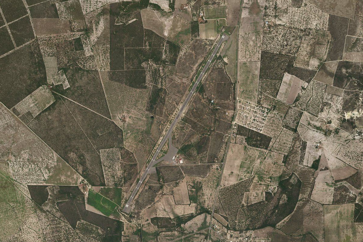
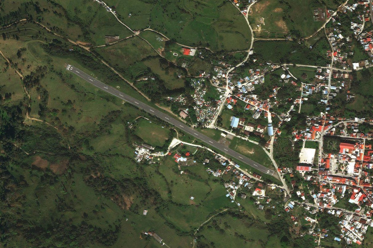
Rio Grande City(POI34) to 67R(67R)
Distance: 3.04NM Bearing: 322° 1 minutes
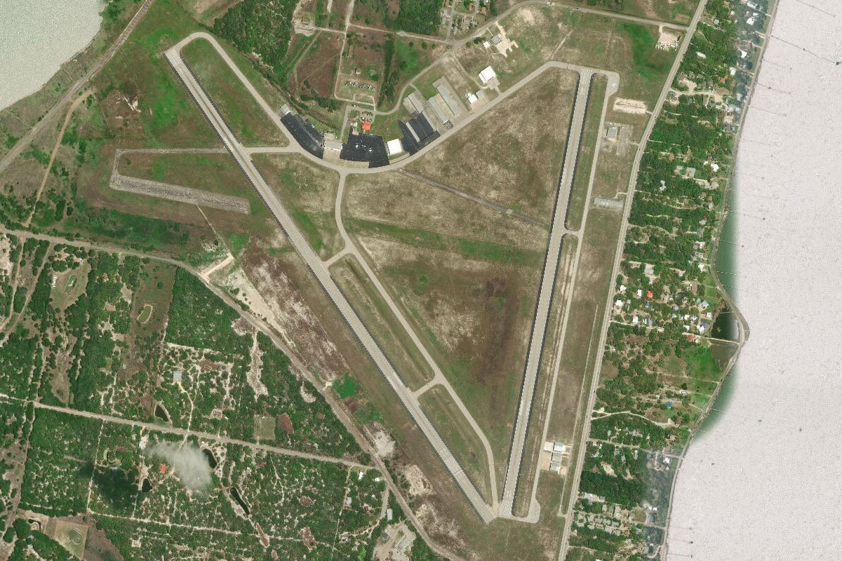
Rio Grande City Municipal Airport is 3 miles northwest of the town, and the last stop in the western USA for the tour
Leg 13
Flying from 67R
Leg Distance: 39.38 Approximate time at 125kts: 19 minutes.
67R(67R) to Rio Grande(POI35)
Distance: 4.22NM Bearing: 227° 2 minutes
After takeoff, head southwest to the Rio Grande River
Rio Grande(POI35) to Miguel Aleman(POI36)
Distance: 6.46NM Bearing: 278° 3 minutes
Follow the river west to the town of Miguel Aleman
Miguel Aleman(POI36) to Presa Las Blancas(POI37)
Distance: 11.35NM Bearing: 269° 5 minutes
From Miguel Aleman, head west to the Las Blancas Reservoir
Presa Las Blancas(POI37) to Presa Las Blancas(POI38)
Distance: 3.49NM Bearing: 233° 2 minutes
Fly southwest to the main western arm of the reservoir
Presa Las Blancas(POI38) to MMAL(MMAL)
Distance: 13.86NM Bearing: 255° 7 minutes
The first section of the river heading away from the reservoir will point you to the town of Agualeguas. The airport is just north of the town
Leg 14
Flying from MMAL
Leg Distance: 46.76 Approximate time at 125kts: 22 minutes.
MMAL(MMAL) to Sierra de Picachos(POI39)
Distance: 30.7NM Bearing: 229° 15 minutes
After takeoff, head southwest over the nearby Picachos Mountains
Sierra de Picachos(POI39) to MMMY(MMMY)
Distance: 16.06NM Bearing: 197° 8 minutes
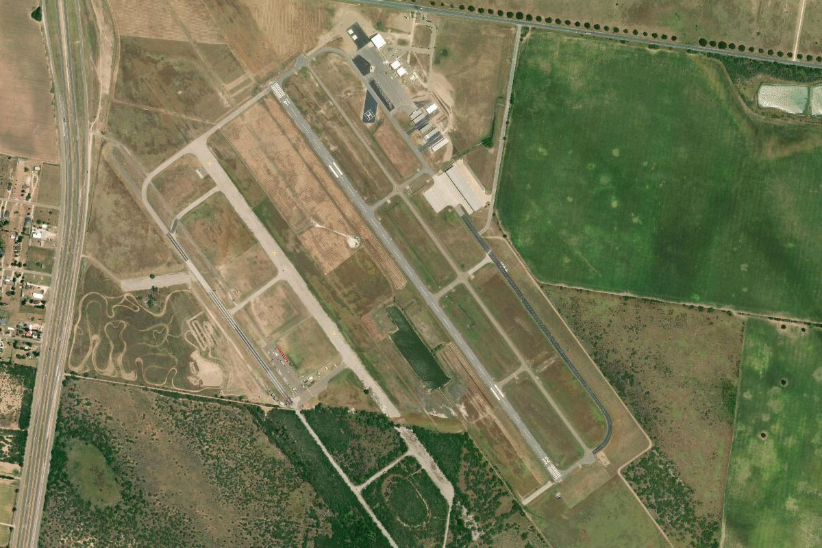
After crossing the mountains, you'll see the large city of Monterrey ringed by mountains. Head south to the eastern edge of the city where the international airport lies
Leg 15
Flying from MMMY
Leg Distance: 49.77 Approximate time at 125kts: 24 minutes.
MMMY(MMMY) to Monterrey(POI40)
Distance: 12.74NM Bearing: 233° 6 minutes
After takeoff, head southwest to the downtown area
Monterrey(POI40) to Cerro de las Mitras(POI41)
Distance: 16.09NM Bearing: 274° 8 minutes
Head west from the city center and follow the main highway 40 through the large valley, passing the natural protected mountain ridge of Sierra de las Mitras to your right
Cerro de las Mitras(POI41) to Gregorio(POI42)
Distance: 15.73NM Bearing: 245° 8 minutes
Continue climbing with the highway as it turns towards the southwest
Gregorio(POI42) to MMIO(MMIO)
Distance: 5.21NM Bearing: 213° 3 minutes
The highway will emerge from the valley and head southwest to the large town of Ramos Arizpe, with the airport at the eastern edge of town
Leg 16
Flying from MMIO
Leg Distance: 67.34 Approximate time at 125kts: 32 minutes.
MMIO(MMIO) to Arteaga(POI43)
Distance: 8.22NM Bearing: 129° 4 minutes
Head southeast after takeoff to the town of Arteaga, which lies at the head of several valleys
Arteaga(POI43) to Cerro La Copetona(POI44)
Distance: 8.12NM Bearing: 76° 4 minutes
The main highway will head south through a small valley, but turn left and climb east along the larger valley
Cerro La Copetona(POI44) to El Tarillal(POI45)
Distance: 11.62NM Bearing: 94° 6 minutes
Continue the climb east along the valley, which will soon come to a pass at El Tarillal, then start descending
El Tarillal(POI45) to El Alamo(POI46)
Distance: 8.77NM Bearing: 111° 4 minutes
Continue along the valley as it gradually curves to the right
El Alamo(POI46) to Laguna de Sanchez(POI47)
Distance: 4.34NM Bearing: 120° 2 minutes
Continue the turn to the southwest across the flat area near Laguna de Sanchez
Laguna de Sanchez(POI47) to Sierra El Muerto(POI48)
Distance: 3.71NM Bearing: 120° 2 minutes
At the end of the flat area of land lies the large Sierra El Muerto. Pass to the left of this mountain then continue southeast
Sierra El Muerto(POI48) to Las Adjuntas(POI49)
Distance: 2.7NM Bearing: 79° 1 minutes
Fly through the opening to the east into the next valley, and continue descending
Las Adjuntas(POI49) to Rio Adjuntas(POI50)
Distance: 5.99NM Bearing: 134° 3 minutes
Descend southeast along the valley along with the Adjuntas River
Rio Adjuntas(POI50) to MEX-85(POI51)
Distance: 7.93NM Bearing: 91° 4 minutes
Follow the river out of the mountains and head east to meet highway 85
MEX-85(POI51) to MMRF(MMRF)
Distance: 5.94NM Bearing: 130° 3 minutes
The highway will head southeast past the town of Montemorelos. The small airfield sits on the right side of the highway
Leg 17
Flying from MMRF
Leg Distance: 93.56 Approximate time at 125kts: 45 minutes.
MMRF(MMRF) to Linares(POI52)
Distance: 22.9NM Bearing: 134° 11 minutes
Follow the highway southeast to the town of Linares
Linares(POI52) to Sierra Chiquita(POI53)
Distance: 28.19NM Bearing: 120° 14 minutes
From Linares, head southeast to the Chiquita Mountain range in the distance
Sierra Chiquita(POI53) to Presa Vicente Guerrero(POI54)
Distance: 36.03NM Bearing: 147° 17 minutes
From the mountain range, head southeast between the two small mountains to the large Vicente Guerrero reservoir
Presa Vicente Guerrero(POI54) to MM17(MM17)
Distance: 6.44NM Bearing: 184° 3 minutes
Fly south along the western bank of the reservoir to the airstrip at La Retama
Leg 18
Flying from MM17
Leg Distance: 75.98 Approximate time at 125kts: 36 minutes.
MM17(MM17) to Tres Mesas Wind Farm(POI55)
Distance: 10.76NM Bearing: 181° 5 minutes
After takeoff, head south over the tree covered mesa at the southwest corner of the reservoir. this is the first of the three mesas which form part of the Tres Mesas Wind Farm
Tres Mesas Wind Farm(POI55) to Tres Mesas Wind Farm(POI56)
Distance: 20.61NM Bearing: 180° 10 minutes
After crossing the mesa, continue south to the next wind turbine covered mesa
Tres Mesas Wind Farm(POI56) to El Cielo Biosphere Reserve(POI57)
Distance: 17.89NM Bearing: 222° 9 minutes
From the wind farm, head southwest to the foot of the mountains, then follow them south past the El Cielo Biosphere Reserve
El Cielo Biosphere Reserve(POI57) to Canyon de la Servilleta(POI58)
Distance: 23.02NM Bearing: 178° 11 minutes
As you approach the southern end of the mountain range, a thin stretch of mountain will continue south. When you reach the river canyon cutting through the mountain, cross over to the other side
Canyon de la Servilleta(POI58) to MMHH(MMHH)
Distance: 3.7NM Bearing: 193° 2 minutes
As you cross southwest over the sliver of mountain range, you should see the grass strip of El Palmar Ranch just to the south
Leg 19
Flying from MMHH
Leg Distance: 54.68 Approximate time at 125kts: 26 minutes.
MMHH(MMHH) to Presa La Lajilla(POI59)
Distance: 31.9NM Bearing: 163° 15 minutes
Head south along the wide, shallow valley; flying in between the two rows of low mountains
Presa La Lajilla(POI59) to Ciudad Valles(POI60)
Distance: 17.48NM Bearing: 175° 8 minutes
Continue south to Ciudad Valles, the second largest city in the state of San Luis Potosi
Ciudad Valles(POI60) to MMCX(MMCX)
Distance: 5.3NM Bearing: 144° 3 minutes
From the city, head southeast to the small airstrip at Covadonga, which sits near the highway interchange
Leg 20
Flying from MMCX
Leg Distance: 73.6 Approximate time at 125kts: 35 minutes.
MMCX(MMCX) to La Escalera(POI61)
Distance: 23.98NM Bearing: 183° 12 minutes
Fly south after takeoff and head to the small river valley on the eastern side of the mountains
La Escalera(POI61) to Matlapa(POI62)
Distance: 13.54NM Bearing: 131° 6 minutes
Follow the valley as it turns to the southeast
Matlapa(POI62) to Tamazunchale(POI63)
Distance: 6.56NM Bearing: 151° 3 minutes
Continue southeast past the end of the valley to the town of Tamazunchale, which is also at the junction of the Moctezuma and Amajac Rivers
Tamazunchale(POI63) to Cerro del Agua Fria(POI64)
Distance: 27.25NM Bearing: 175° 13 minutes
From Tamazunchale, head south in the direction of the tall mountain peak in the distance, Cerro del Agua Fria
Cerro del Agua Fria(POI64) to MGO1(MGO1)
Distance: 2.27NM Bearing: 114° 1 minutes
Just before you reach the mountain peak, there will be a small lake and mountain town of Molango to the left. The airstrip is on the western side of town
Leg 21
Flying from MGO1
Leg Distance: 54.83 Approximate time at 125kts: 26 minutes.
MGO1(MGO1) to Lago Metztitlan(POI65)
Distance: 9.26NM Bearing: 233° 4 minutes
After takeoff, head southeast to the right of the mountain towards the lake
Lago Metztitlan(POI65) to Venados(POI66)
Distance: 18.55NM Bearing: 138° 9 minutes
From the lake, head southeast along the farmlands of the Venados River valley
Venados(POI66) to MEX-105(POI67)
Distance: 15.4NM Bearing: 169° 7 minutes
When the river turns slightly towards the south, follow it , then continue in that direction across the tableland until you meet highway 105, then follow it south
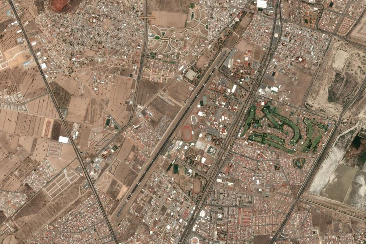
MEX-105(POI67) to Pachuca(POI68)
Distance: 7.23NM Bearing: 217° 3 minutes
Follow the highway as it winds through the mountains to the city of Pachuca
Pachuca(POI68) to MMPC(MMPC)
Distance: 4.39NM Bearing: 234° 2 minutes
Pachuca's airport is southwest of the city, near the golf course
Leg 22
Flying from MMPC
Leg Distance: 63.8 Approximate time at 125kts: 31 minutes.
MMPC(MMPC) to Cerro Gordo(POI69)
Distance: 19.56NM Bearing: 183° 9 minutes
Head south after takeoff, to the large hill named Cerro Gordo
Cerro Gordo(POI69) to Teotihuacan(POI70)
Distance: 3.92NM Bearing: 197° 2 minutes
Directly over the hill, you'll see the ancient Mesoamerican city of Teotihuacan. The most distinct monuments are the Pyramids of the Sun and Moon
Teotihuacan(POI70) to Teholote Grande(POI71)
Distance: 16.97NM Bearing: 180° 8 minutes
Head south from Teotihuacan, passing the large population center of Texcoco. Adjust your course to fly over the "saddle" between the hills of Teholote Grange and Volcan El Pino
Teholote Grande(POI71) to Xico(POI72)
Distance: 10.04NM Bearing: 203° 5 minutes
Continue southwest to the perfectly round Xico volcanic crater
Xico(POI72) to La Caldera(POI73)
Distance: 5.03NM Bearing: 339° 2 minutes
Turn northwest to the double volcanic crater of La Caldera
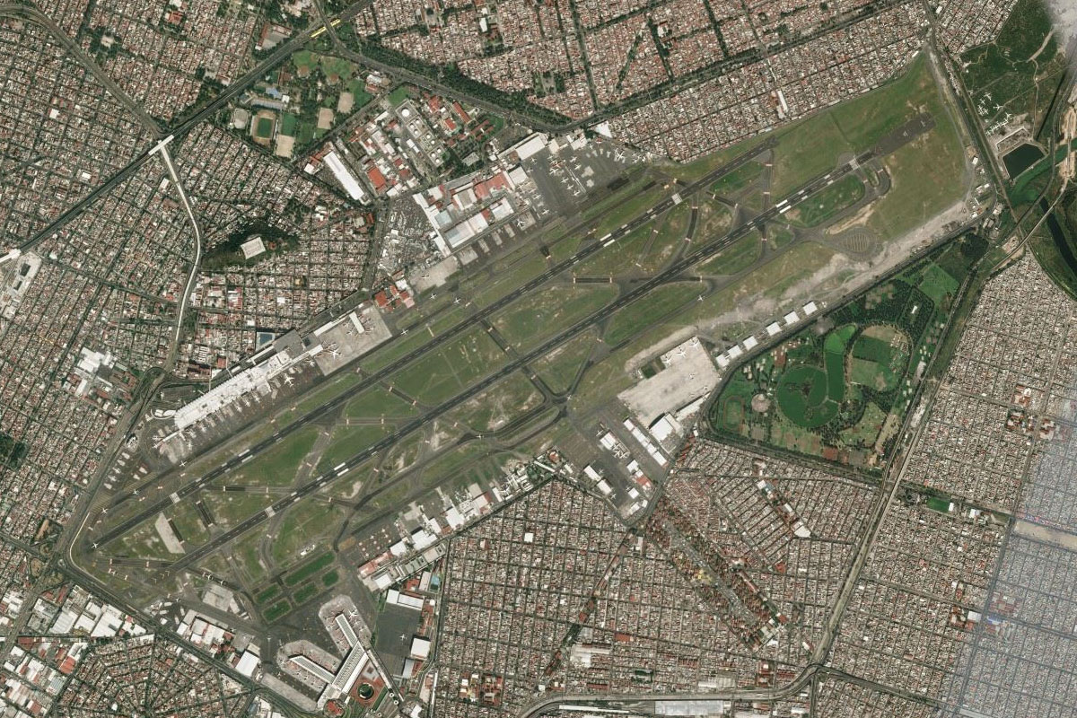
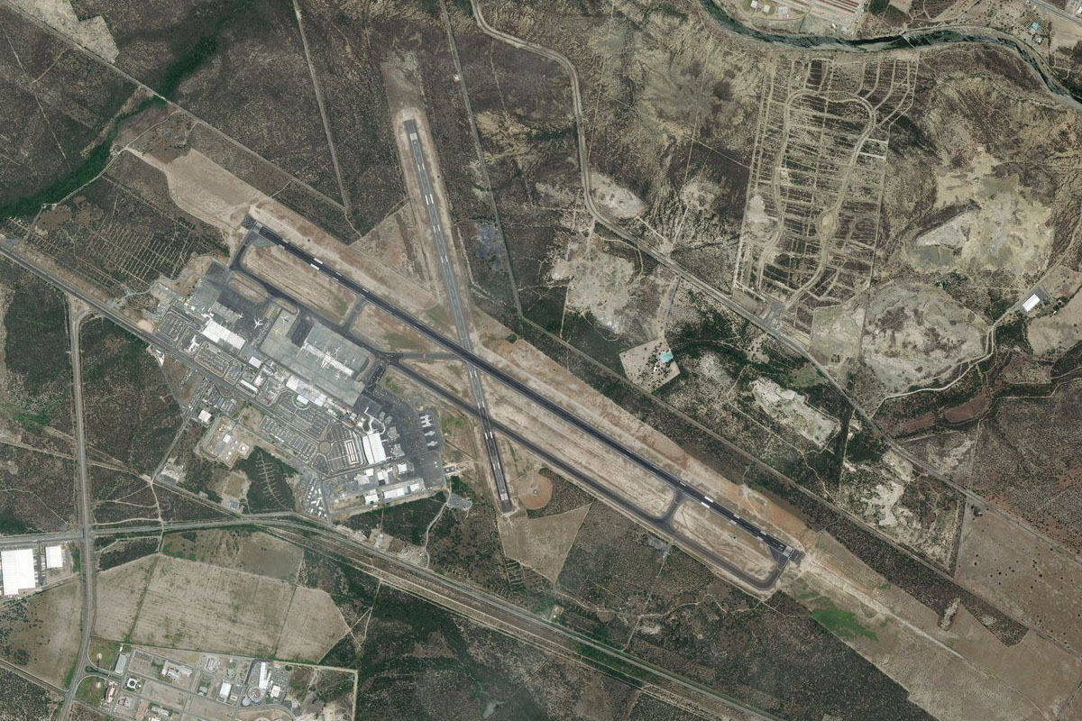
La Caldera(POI73) to MMMX(MMMX)
Distance: 8.28NM Bearing: 311° 4 minutes
From La Caldera, a short trip northwest will take you to Mexico's busiest airport, Benito Juárez International Airport