World Tour 015-Mexico City to Oaxaca – Mexico
Stage 15 takes you through central and south Mexico, dominated by volcanic mountain ranges and sun drenched beach resorts. Starting with a tour of the amazing metropolis of Mexico City – the largest Spanish speaking city in the world, you’ll get a close up look at the spectacular Paracutin and Colima Volcanoes on the way to the Pacific Coast. A journey down the Pacific Coast will make up the second half of this trip, with the highlight being the famous city of Acapulco. There’s plenty of rugged coastline and beachside towns to see before you head north to the destination, the state capital of Oaxaca.
Total Legs: 17 Total Distance: 991 Total Time(125kts): 7 hours 55 minutes
Leg 1
Flying from MMMX
Leg Distance: 36.37 Approximate time at 125kts: 17 minutes.
MMMX(MMMX) to Basilica(POI1)
Distance: 4.24NM Bearing: 320° 2 minutes
After takeoff, head northwest to the first group of small hills 4 miles from the airport. At the base of the south hill lies the iconic Basilica de Guadalupe
Basilica(POI1) to Avenida Insurgentes Norte(POI2)
Distance: 3.03NM Bearing: 217° 1 minutes
Turn left around the Basilica and fly southwest along the wide tree lined Avenida Insurgentes Norte
Avenida Insurgentes Norte(POI2) to Avenida Paseo de la Reforma(POI3)
Distance: 1.53NM Bearing: 194° 1 minutes
Continue past the A-shaped Insignia Tower and follow the road south to another wide tree lined thoroughfare, Avenida Paseo de la Reforma
Avenida Paseo de la Reforma(POI3) to Industrias Militares de Sedena(POI4)
Distance: 5.04NM Bearing: 239° 2 minutes
Fly southwest along the tree and building lined Avenida Paseo de la Reforma, over the large parkland containing Chapultepec Castle, and continuing along the main highway as it climbs southwest
Industrias Militares de Sedena(POI4) to La Marquesa(POI5)
Distance: 8.57NM Bearing: 224° 4 minutes
Keep following the highway southwest as it climbs through the hills
La Marquesa(POI5) to San Mateo Atenco(POI6)
Distance: 9.81NM Bearing: 261° 5 minutes
The highway will turn west and descend towards the city of Toluca
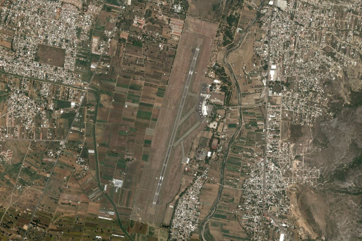
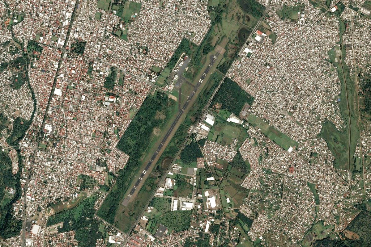
San Mateo Atenco(POI6) to MMTO(MMTO)
Distance: 4.15NM Bearing: 320° 2 minutes
As you reach the outskirts of the city, Toluca airport will be a couple of miles north of the highway
Leg 2
Flying from MMTO
Leg Distance: 32.19 Approximate time at 125kts: 15 minutes.
MMTO(MMTO) to Toluca(POI7)
Distance: 7.36NM Bearing: 230° 4 minutes
After takeoff, head southwest to the main center of Toluca which lies to the south of the hill of Piedra La Campana
Toluca(POI7) to Meson Viejo(POI8)
Distance: 13.05NM Bearing: 239° 6 minutes
Head southwest from Toluca, following highway 134 past the northeast face of the 1500 foot stratovolcano, Nevado de Toluca
Meson Viejo(POI8) to Los Saucos(POI9)
Distance: 7.66NM Bearing: 271° 4 minutes
As the highway starts to wind its way down to lower ground, turn and head west towards the Valle de Bravo reservoir
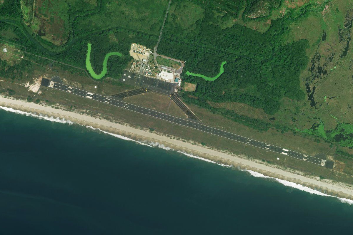
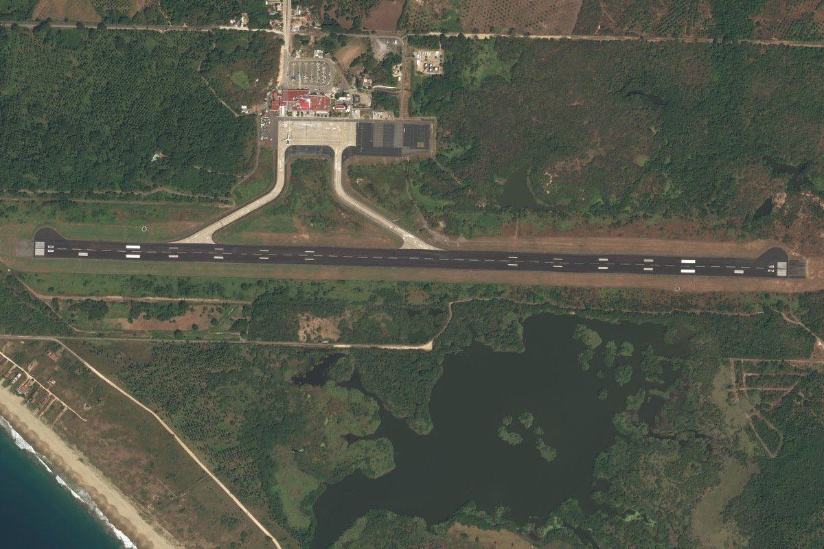
Los Saucos(POI9) to MMDY(MMDY)
Distance: 4.12NM Bearing: 236° 2 minutes
As you get closer to the reservoir, look for the airstrip in a field a couple of miles southeast of the waters edge
Leg 3
Flying from MMDY
Leg Distance: 76.57 Approximate time at 125kts: 37 minutes.
MMDY(MMDY) to Presa Valle de Bravo(POI10)
Distance: 6.02NM Bearing: 301° 3 minutes
Head northwest over the picturesque lake
Presa Valle de Bravo(POI10) to Presa del Bosque(POI11)
Distance: 19.65NM Bearing: 304° 9 minutes
Continue northwest over the hills to another reservoir
Presa del Bosque(POI11) to Rio Taximaroa(POI12)
Distance: 12.54NM Bearing: 347° 6 minutes
After passing the reservoir, head north and follow the Taximaroa River through a shallow valley
Rio Taximaroa(POI12) to Ciudad Hidalgo(POI13)
Distance: 6.57NM Bearing: 308° 3 minutes
The river and highway will turn northwest to Ciudad Hidalgo
Ciudad Hidalgo(POI13) to Lago de Cuitzeo(POI14)
Distance: 21.49NM Bearing: 303° 10 minutes
From the city, fly northwest, passing San Andres peak to your right, then eventually reaching the eastern edge of Lago de Cuitzeo
Lago de Cuitzeo(POI14) to MMMM(MMMM)
Distance: 10.3NM Bearing: 246° 5 minutes
Turn left at the lake and follow the southern shore towards the airport
Leg 4
Flying from MMMM
Leg Distance: 69.28 Approximate time at 125kts: 33 minutes.
MMMM(MMMM) to Morelia(POI15)
Distance: 12.82NM Bearing: 223° 6 minutes
After Takeoff, head southwest to the city of Morelia
Morelia(POI15) to Lago de Patzcuaro(POI16)
Distance: 24.56NM Bearing: 258° 12 minutes
Follow highway 15 west out of the city until it turns southwest, then continue west to Lago de Patzcuaro
Lago de Patzcuaro(POI16) to MEX-14D(POI17)
Distance: 9.23NM Bearing: 194° 4 minutes
Follow the lake around to the south before meeting up with highway 14D just south of the lake
MEX-14D(POI17) to Lago de Zirahuen(POI18)
Distance: 6.11NM Bearing: 221° 3 minutes
Follow the highway southwest as it passes in between Lago de Zirahuen and the forested peak of Cumburinos
Lago de Zirahuen(POI18) to Uruapan(POI19)
Distance: 13.89NM Bearing: 261° 7 minutes
Continue following the highway west to the city of Uruapan
Uruapan(POI19) to MMPN(MMPN)
Distance: 2.67NM Bearing: 234° 1 minutes
Uruapan's airport is at the southeast edge of the city
Leg 5
Flying from MMPN
Leg Distance: 50.51 Approximate time at 125kts: 24 minutes.
MMPN(MMPN) to Paricutin(POI20)
Distance: 13.85NM Bearing: 285° 7 minutes
Head west in the direction of the large 12600 foot volcanic mountain of Tancitaro. Aim a couple of miles north of the peak for a closeup view of the much smaller but perfect volcanic cone of Paricutin
Paricutin(POI20) to Chilatan(POI21)
Distance: 29.59NM Bearing: 244° 14 minutes
Turn southwest around the mountain, and head across the landscape dotted with smaller volcanic peaks to the reservoir at Chilatan
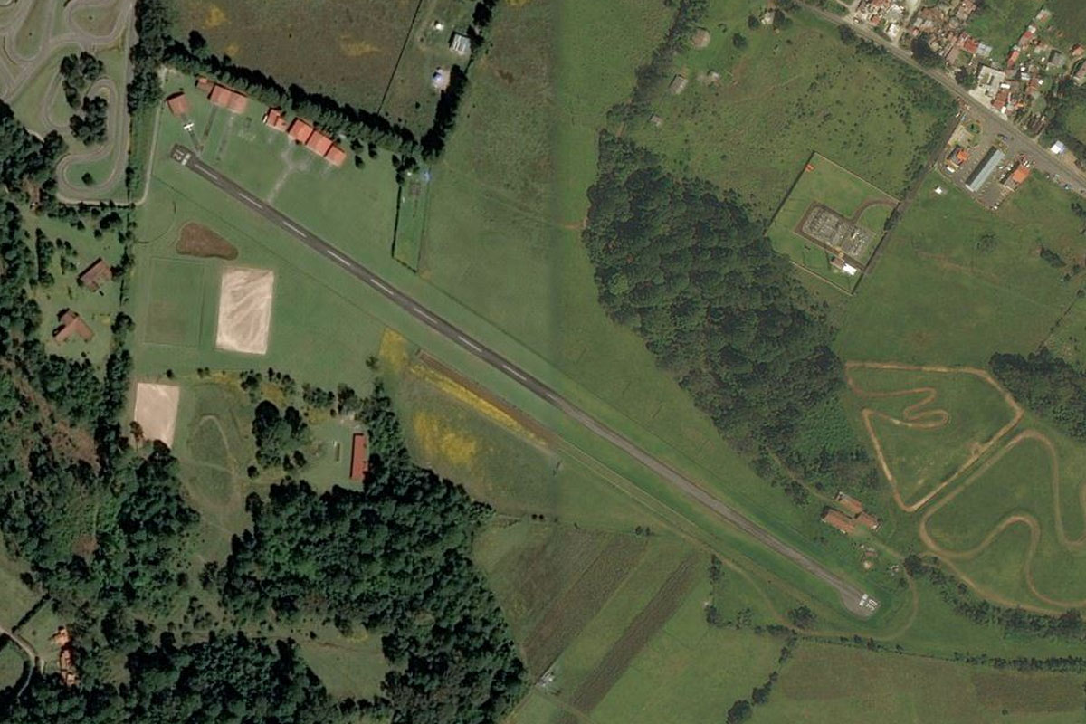
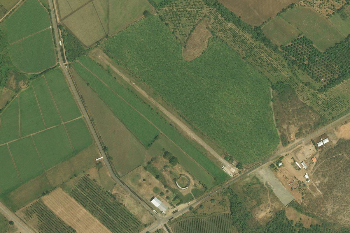
Chilatan(POI21) to MMUI(MMUI)
Distance: 7.07NM Bearing: 211° 3 minutes
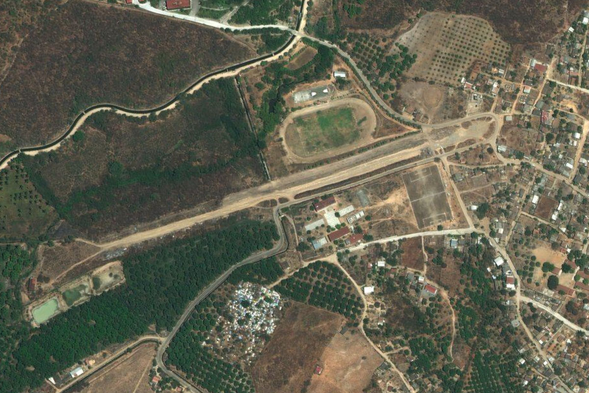
Head southwest from the reservoir to the town of Tepalcatepec. Just northeast of the town there are 3 airstrips within 1 square mile. Silva airport is the easternmost of the landing strips, next to a small bull ring
Leg 6
Flying from MMUI
Leg Distance: 59.02 Approximate time at 125kts: 28 minutes.
MMUI(MMUI) to Ahuijullo(POI22)
Distance: 9.14NM Bearing: 242° 4 minutes
After takeoff, head west past the town, then southwest to a shallow river valley
Ahuijullo(POI22) to El Guayabo(POI23)
Distance: 24.08NM Bearing: 239° 12 minutes
Continue southwest along the valley until you reach another reservoir
El Guayabo(POI23) to Estapilla(POI24)
Distance: 7.34NM Bearing: 268° 4 minutes
Fly through the steep canyon at the western end of the reservoir
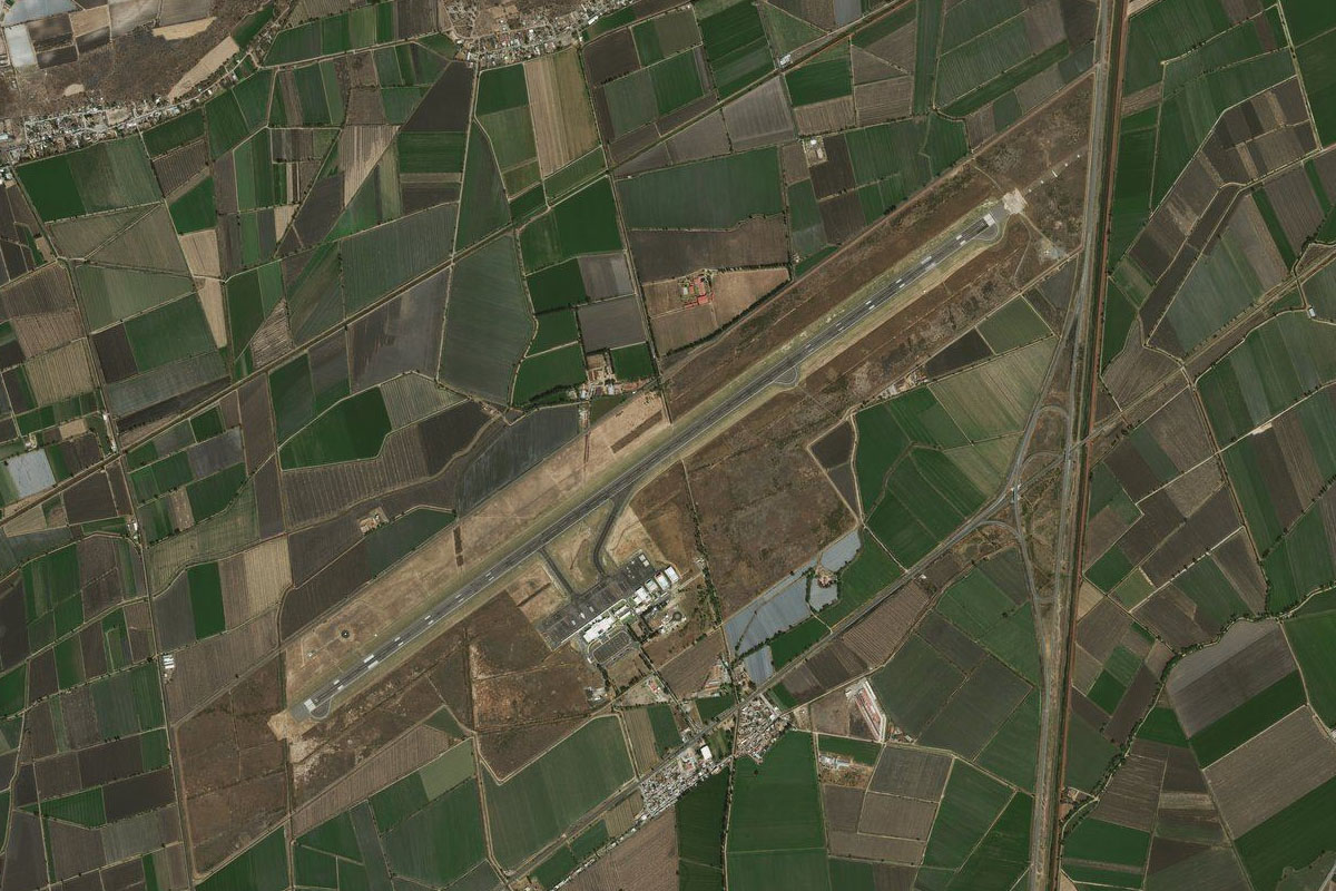
Estapilla(POI24) to MMIA(MMIA)
Distance: 18.46NM Bearing: 339° 9 minutes
After passing through the canyon, turn north and head towards the 13000ft Colima Volcano
Leg 7
Flying from MMIA
Leg Distance: 23.51 Approximate time at 125kts: 11 minutes.
MMIA(MMIA) to Volcan de Colima(POI25)
Distance: 14.27NM Bearing: 353° 7 minutes
After takeoff, head north towards the volcano where you will be doing a left hand circuit around the peak. Climb to the tree line at around 10000ft
Volcan de Colima(POI25) to Nevado de Colima(POI26)
Distance: 2.26NM Bearing: 306° 1 minutes
Turn left and climb to over 11000ft to pass between the two volcanic peaks
Nevado de Colima(POI26) to Volcan de Colima(POI27)
Distance: 2.8NM Bearing: 228° 1 minutes
Start descending as you turn southwest around the mountain
Volcan de Colima(POI27) to MMTF(MMTF)
Distance: 4.18NM Bearing: 200° 2 minutes
A few miles southwest of the volcano is the large grass strip of El Jabali Airport
Leg 8
Flying from MMTF
Leg Distance: 58.39 Approximate time at 125kts: 28 minutes.
MMTF(MMTF) to Juluapan(POI28)
Distance: 11.75NM Bearing: 219° 6 minutes
After takeoff, head southwest to the end of a river valley that heads west into the mountains
Juluapan(POI28) to La Playa(POI29)
Distance: 17.08NM Bearing: 268° 8 minutes
Follow the valley while it heads west, then keep heading west over the mountains to where you'll see another river heading west
La Playa(POI29) to Cihuatlan(POI30)
Distance: 23.46NM Bearing: 253° 11 minutes
Follow the river west towards the coast. Just before the coast it will pass through the town of Cihuatlán
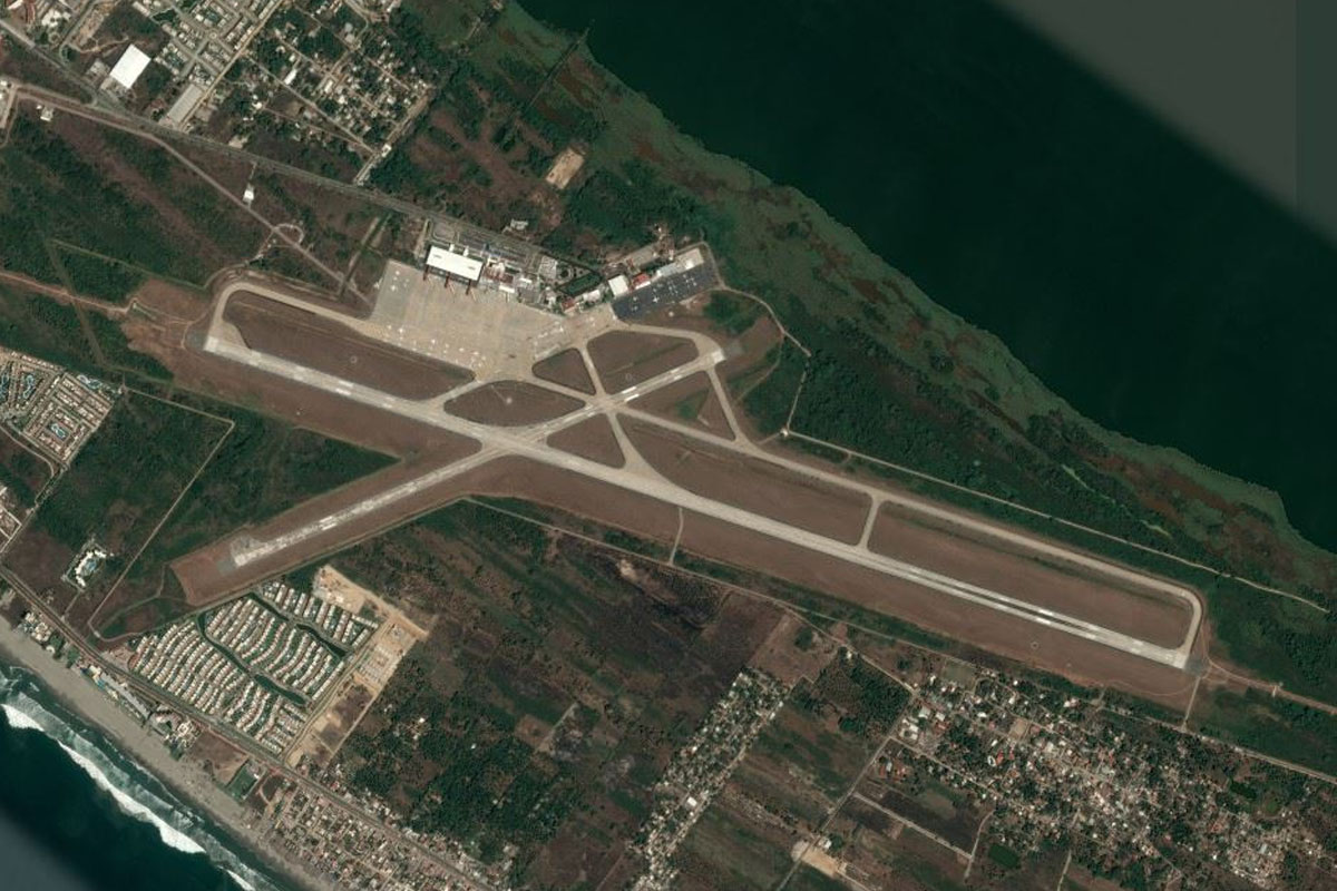
Cihuatlan(POI30) to MMZO(MMZO)
Distance: 6.1NM Bearing: 187° 3 minutes
From the town, turn south to the airport which runs alongside the beach
Leg 9
Flying from MMZO
Leg Distance: 50.4 Approximate time at 125kts: 24 minutes.
MMZO(MMZO) to Manzanillo(POI31)
Distance: 12.04NM Bearing: 99° 6 minutes
After takeoff, follow the coast east to the double bays at the city of Manzanillo
Manzanillo(POI31) to Cuyutlan(POI32)
Distance: 18.55NM Bearing: 117° 9 minutes
Turn to the southeast to cross the lake system on the way back to the coast
Cuyutlan(POI32) to Tecoman(POI33)
Distance: 16.8NM Bearing: 118° 8 minutes
Continue following the coast southeast. Once you pass the aquaculture farm, keep an eye out for the airstrip to your left
Tecoman(POI33) to MMKM(MMKM)
Distance: 3.01NM Bearing: 57° 1 minutes
The airstrip is 3 miles from the shore, on the northern side of the highway
Leg 10
Flying from MMKM
Leg Distance: 78.1 Approximate time at 125kts: 37 minutes.
MMKM(MMKM) to San Juan de Alima(POI34)
Distance: 13.37NM Bearing: 151° 6 minutes
Head southeast back to the coast, and the outcrop of land at San Juan de Alima
San Juan de Alima(POI34) to Faro De Bucerias(POI35)
Distance: 17.97NM Bearing: 139° 9 minutes
Follow the coast southeast
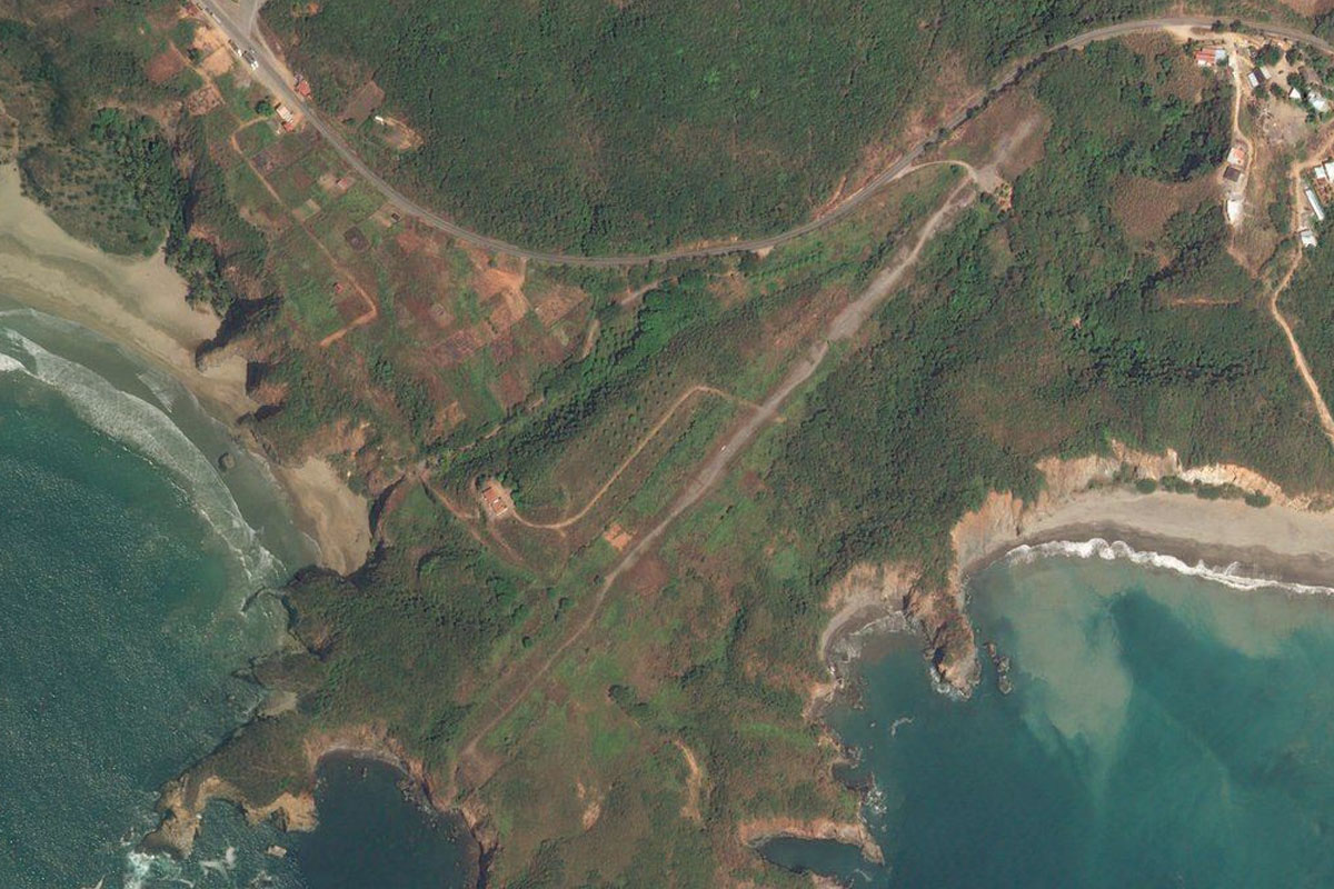
Faro De Bucerias(POI35) to MCDC(MCDC)
Distance: 46.76NM Bearing: 105° 22 minutes
Keep following the rugged coast at it turns more to the east. At the beachside town of Caleta de Campos, you'll find the grass airstrip on the eastern side of the bay
Leg 11
Flying from MCDC
Leg Distance: 32.14 Approximate time at 125kts: 15 minutes.
MCDC(MCDC) to Lazaro Cardenas(POI36)
Distance: 28.57NM Bearing: 99° 14 minutes
After takeoff, continue east along the coast to the port city of Lázaro Cárdenas
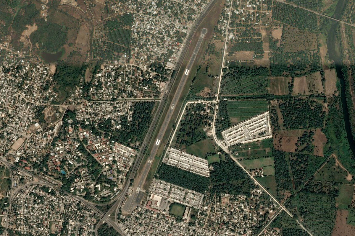
Lazaro Cardenas(POI36) to MMLC(MMLC)
Distance: 3.57NM Bearing: 31° 2 minutes
The airport sits in the northwestern part of the city
Leg 12
Flying from MMLC
Leg Distance: 52.16 Approximate time at 125kts: 25 minutes.
MMLC(MMLC) to El Zapote(POI37)
Distance: 25.14NM Bearing: 101° 12 minutes
Head east across the bay and follow the coast as it turns southeast
El Zapote(POI37) to Zihuatanejo(POI38)
Distance: 21.8NM Bearing: 135° 10 minutes
Continue southeast along the coast to the bays and beaches of the city of Zihuatanejo
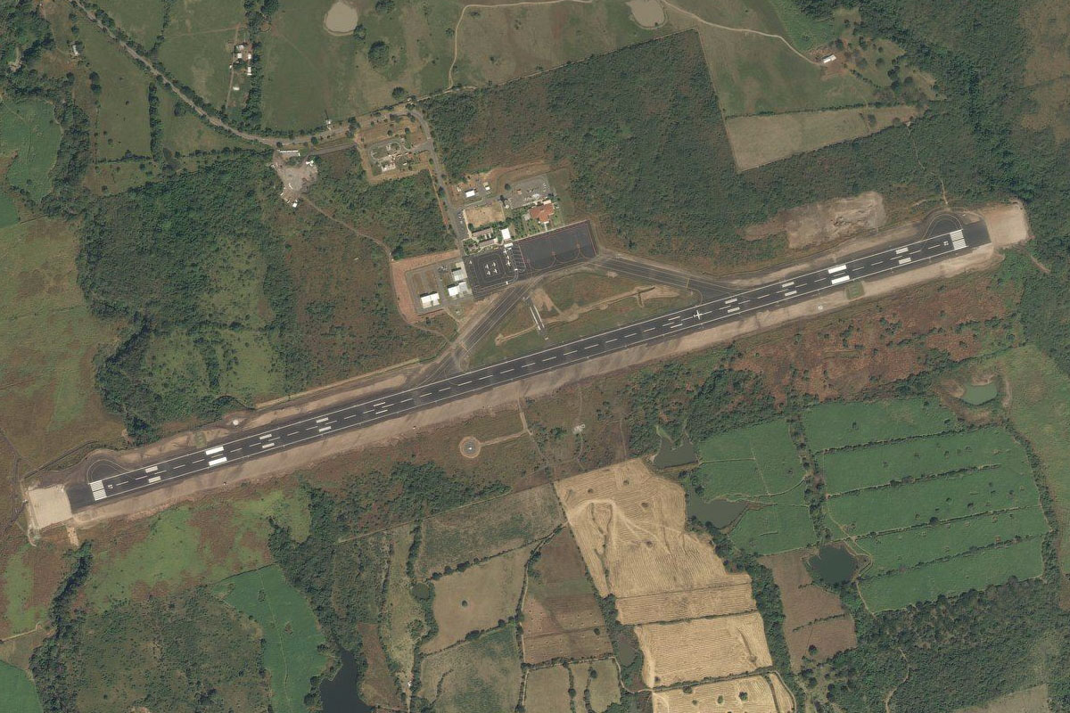
Zihuatanejo(POI38) to MMZH(MMZH)
Distance: 5.22NM Bearing: 89° 3 minutes
Just past the town, halfway along Playa Larga (long beach), lies the international airport
Leg 13
Flying from MMZH
Leg Distance: 67.9 Approximate time at 125kts: 33 minutes.
MMZH(MMZH) to Puerto Vicente Guerrero(POI39)
Distance: 31.15NM Bearing: 125° 15 minutes
After takeoff, follow the coast southeast
Puerto Vicente Guerrero(POI39) to Playa Michigan(POI40)
Distance: 24.63NM Bearing: 105° 12 minutes
Continue along the coast until reach the river and small lagoon at Michigan Beach, the turn northeast
Playa Michigan(POI40) to MMEY(MMEY)
Distance: 12.12NM Bearing: 59° 6 minutes
Head northeast past the hills to Atoyac Airstrip just west of the town
Leg 14
Flying from MMEY
Leg Distance: 52.51 Approximate time at 125kts: 25 minutes.
MMEY(MMEY) to Laguna de Mitla(POI41)
Distance: 18.38NM Bearing: 133° 9 minutes
After takeoff, head southeast over Mitla Lagoon to the coast
Laguna de Mitla(POI41) to La Quebrada(POI42)
Distance: 20.17NM Bearing: 112° 10 minutes
Continue southwest along the coast to the famous seaside city of Acapulco. On the rocky western side of the bay is the legendary cliff diving spot of La Quebrada
La Quebrada(POI42) to Acapulco(POI43)
Distance: 2.46NM Bearing: 64° 1 minutes
Cross into the bay then follow the curve of Acapulco Beach clockwise. The star shaped fort on the western side of the bay is the 17th century built San Diego Fort
Acapulco(POI43) to Acapulco(POI44)
Distance: 1.65NM Bearing: 135° 1 minutes
Continue along the beach
Acapulco(POI44) to Punta Bruja(POI45)
Distance: 1.82NM Bearing: 212° 1 minutes
Continue southwest past Punta Bruja
Punta Bruja(POI45) to MMAA(MMAA)
Distance: 8.03NM Bearing: 111° 4 minutes
After leaving the bay, head east further along the coast to the airport
Leg 15
Flying from MMAA
Leg Distance: 80.16 Approximate time at 125kts: 38 minutes.
MMAA(MMAA) to Rio Papagayo(POI46)
Distance: 19.78NM Bearing: 102° 9 minutes
Head east after takeoff, over the Papagayo River and back to the coast
Rio Papagayo(POI46) to Barra de Tecoanapa(POI47)
Distance: 40.16NM Bearing: 99° 19 minutes
Continue east along the coast. After crossing the bay near Marquelia, continue east over the Ometepec River and head inland
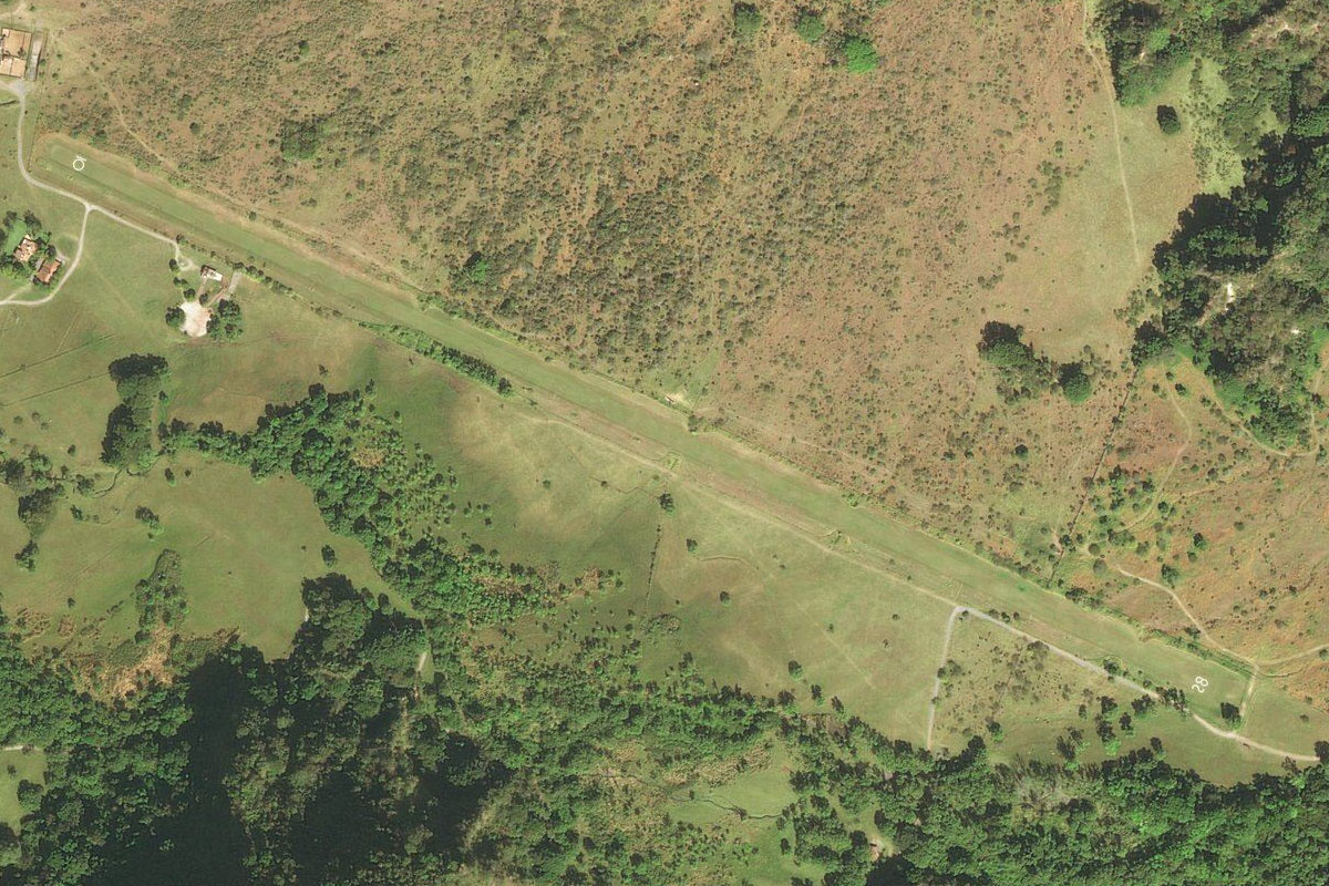
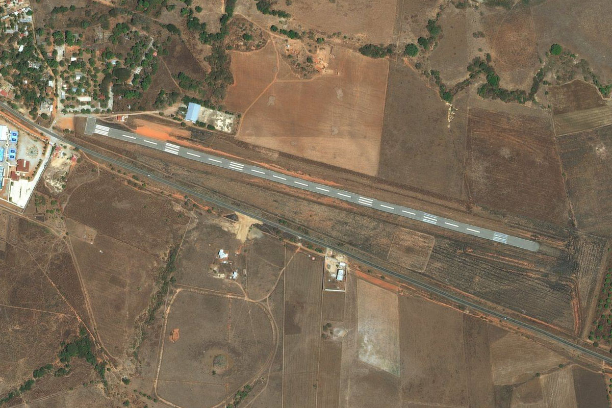
Barra de Tecoanapa(POI47) to MM29(MM29)
Distance: 20.22NM Bearing: 95° 10 minutes
Head to the town of Cuajinicuilapa, and the airstrip at the town's eastern end
Leg 16
Flying from MM29
Leg Distance: 86.66 Approximate time at 125kts: 42 minutes.
MM29(MM29) to Corralero(POI48)
Distance: 21.82NM Bearing: 134° 10 minutes
After takeoff, head southeast to the coast, crossing Corralero Lagoon
Corralero(POI48) to Rio Verde(POI49)
Distance: 24.85NM Bearing: 117° 12 minutes
Continue southeast along the coast
Rio Verde(POI49) to El Cacalote(POI50)
Distance: 28.25NM Bearing: 92° 14 minutes
Stay with the coast as it turns east
El Cacalote(POI50) to MMPS(MMPS)
Distance: 11.74NM Bearing: 105° 6 minutes
As the coast curves past Laguna Manialtepec, Puerto Escondido Airport will come into view just before the town
Leg 17
Flying from MMPS
Leg Distance: 85.39 Approximate time at 125kts: 41 minutes.
MMPS(MMPS) to Rio Colotepec(POI51)
Distance: 19.33NM Bearing: 70° 9 minutes
After takeoff, follow the Colotepec River northeast into the mountains
Rio Colotepec(POI51) to Rio Colotepec(POI52)
Distance: 10.24NM Bearing: 42° 5 minutes
Keep climbing with the river as it heads northeast
Rio Colotepec(POI52) to Santa Lucia Miahuatlan(POI53)
Distance: 6.49NM Bearing: 15° 3 minutes
Cross over the mountains at the low point housing the town of Santa Lucía Miahuatlán
Santa Lucia Miahuatlan(POI53) to Ejutla(POI54)
Distance: 26.52NM Bearing: 342° 13 minutes
Once you reach the highlands of the Oaxaca Valley, head northwest to the left of the mountain ridge ahead
Ejutla(POI54) to MMOX(MMOX)
Distance: 22.81NM Bearing: 357° 11 minutes
Heading north to the city of Oaxaca, you will reach the airport a few miles south of the city