Stage 19 of the tour, and the first in South America, will take you through northern Colombia and Venezuela with a side trip to the southern Caribbean Sea. The first part of the stage will head along the northwestern coast of Colombia to its fourth largest city, Barranquilla, before rounding the picturesque mountain national park of Sierra Nevada de Santa Marta en route to Venezuela. Heading north to the Caribbean, you’ll journey through the ‘ABC’ Islands of Aruba, Bonaire, and Curaçao as well as Gran Roque and La Tortuga before heading back to mainland Venezuela, and the capital city of Caracas
Total Legs: 21 Total Distance: 1134 Total Time(125kts): 9 hours 4 minutes
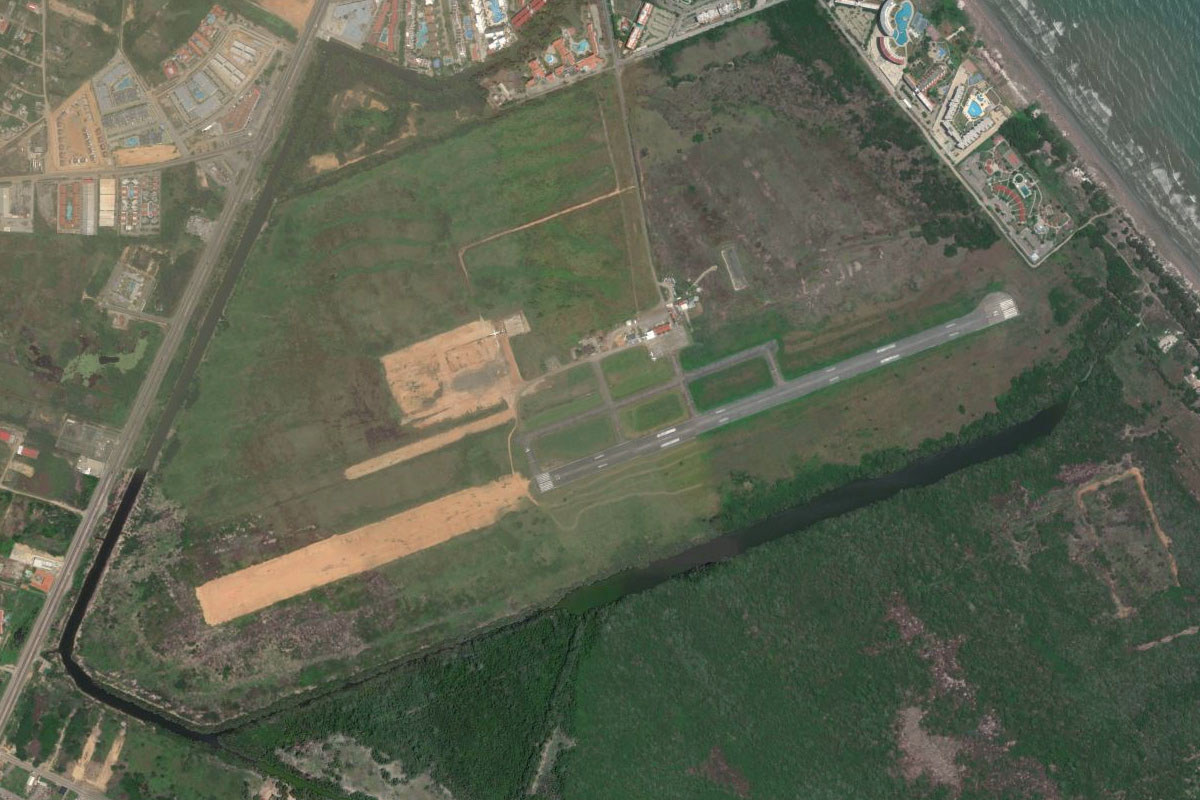
Leg 1
Flying from SKUQ
Leg Distance: 35.65 Approximate time at 125kts: 17 minutes.
SKUQ(SKUQ) to Rio Atrato(POI1)
Distance: 14.45NM Bearing: 51° 7 minutes
Head northeast after takeoff to the mouth of the Atrato River
Rio Atrato(POI1) to Gulf of Uraba(POI2)
Distance: 10.24NM Bearing: 73° 5 minutes
Head northeast across the Gulf of Urabá
Gulf of Uraba(POI2) to Necocli(POI3)
Distance: 8.27NM Bearing: 10° 4 minutes
Follow the coastline north towards the town of Necoclí
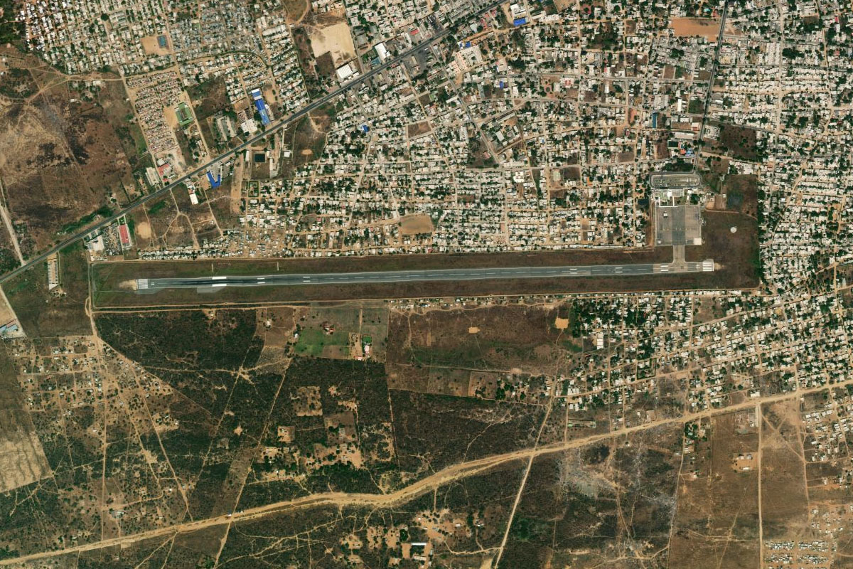
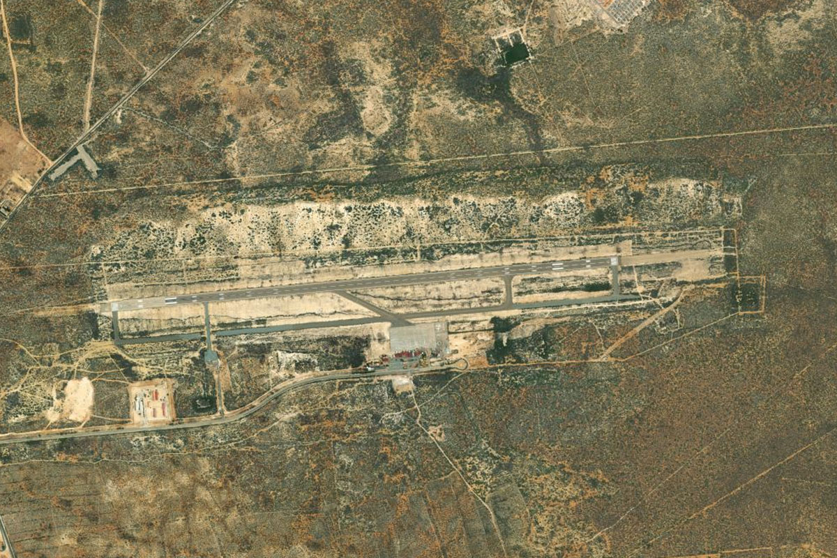
Necocli(POI3) to SKNC(SKNC)
Distance: 2.69NM Bearing: 342° 1 minutes
Necocli Airport sits a few miles north of the town
Leg 2
Flying from SKNC
Leg Distance: 33.86 Approximate time at 125kts: 16 minutes.
SKNC(SKNC) to San Juan de Uraba(POI4)
Distance: 25.05NM Bearing: 46° 12 minutes
Head northeast to meet the coast at the town of San Juan de Urabá
San Juan de Uraba(POI4) to Arboletes(POI5)
Distance: 7NM Bearing: 57° 3 minutes
Follow the coast northeast to the town of Arboletes
Arboletes(POI5) to SKM1(SKM1)
Distance: 1.81NM Bearing: 32° 1 minutes
The small grass airstrip is a couple of miles northeast of Arboletes, just next to the highway
Leg 3
Flying from SKM1
Leg Distance: 57.48 Approximate time at 125kts: 28 minutes.
SKM1(SKM1) to Puerto Escondido(POI6)
Distance: 11.25NM Bearing: 59° 5 minutes
After takeoff, continue northeast along the coast
Puerto Escondido(POI6) to Monitos(POI7)
Distance: 16.23NM Bearing: 33° 8 minutes
Keep following the coast past the town of Moñitos
Monitos(POI7) to Rio Sinu(POI8)
Distance: 16.35NM Bearing: 60° 8 minutes
Continue northeast along the coast to the mouth of the Sinu River
Rio Sinu(POI8) to SKCV(SKCV)
Distance: 13.65NM Bearing: 99° 7 minutes
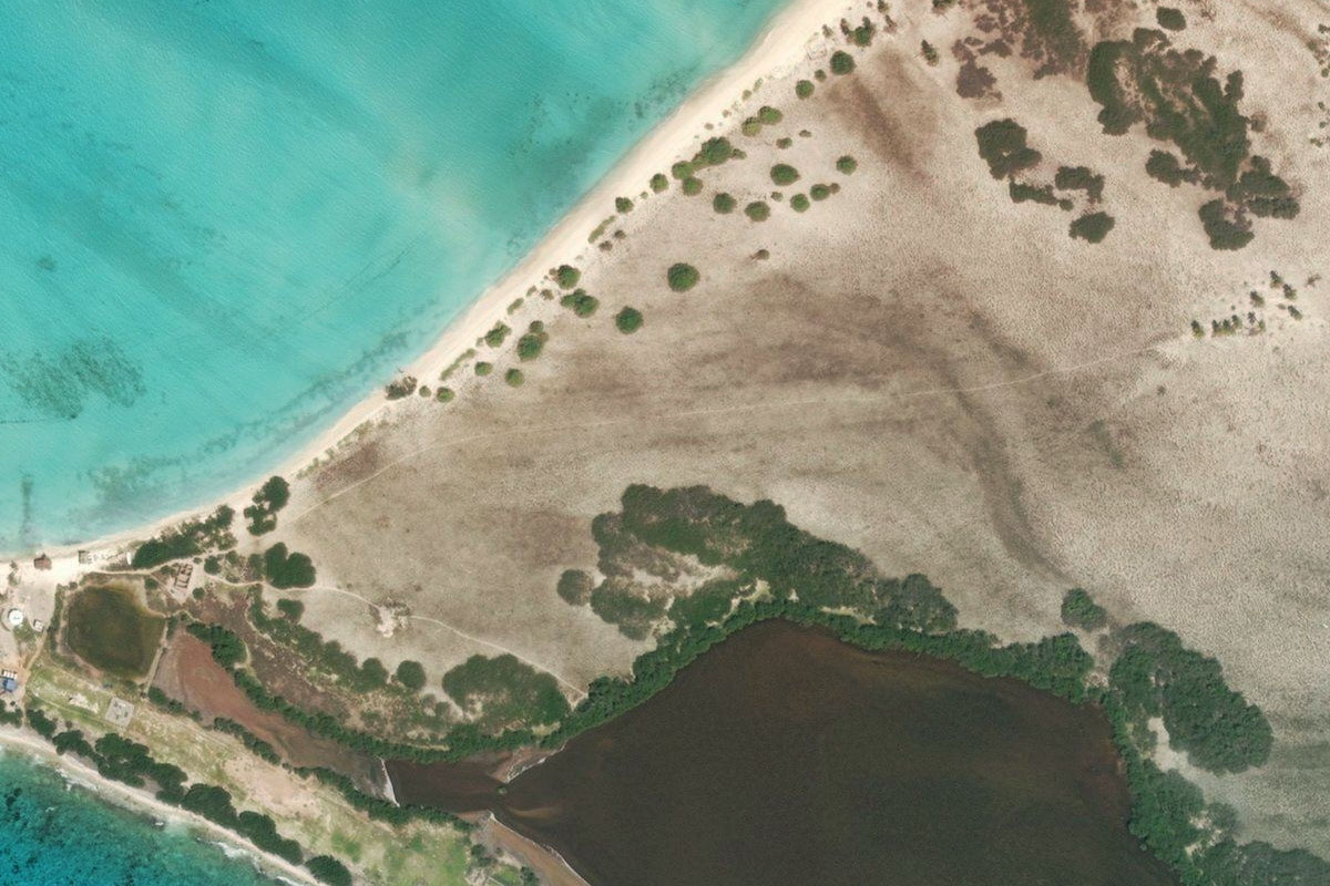
Head east over the ciénega (wetlands) to the port town of Covenas. The airport is next to the oil terminal
Leg 4
Flying from SKCV
Leg Distance: 67.86 Approximate time at 125kts: 33 minutes.
SKCV(SKCV) to Punta San Bernado(POI9)
Distance: 17.98NM Bearing: 6° 9 minutes
After takeoff, head north across the bay
Punta San Bernado(POI9) to Punta Comisario(POI10)
Distance: 19.29NM Bearing: 30° 9 minutes
Follow the coast north
Punta Comisario(POI10) to Bahia Barbacoas(POI11)
Distance: 14.5NM Bearing: 19° 7 minutes
Continue along the coast to the northern end of Barbacoas Bay
Bahia Barbacoas(POI11) to Cartagena(POI12)
Distance: 8.31NM Bearing: 16° 4 minutes
Head north across the land of Isla Baru, then over the next bay, Cartagena Bay
Cartagena(POI12) to Castillo Grande(POI13)
Distance: 3.13NM Bearing: 302° 2 minutes
From the container terminal at the north end of the bay, turn west towards the tourist area of Castillo Grande
Castillo Grande(POI13) to Cartegena Walls(POI14)
Distance: 1.94NM Bearing: 23° 1 minutes
Follow the coast north past the historic part of Cartagena, which is protected by a 16th century wall
Cartegena Walls(POI14) to SKCG(SKCG)
Distance: 2.71NM Bearing: 76° 1 minutes
The coast will turn northeast and lead you to the airport
Leg 5
Flying from SKCG
Leg Distance: 56.22 Approximate time at 125kts: 27 minutes.
SKCG(SKCG) to Punta Santa Rita(POI15)
Distance: 25.59NM Bearing: 44° 12 minutes
After takeoff, follow the coast northeast
Punta Santa Rita(POI15) to Cano Dulce(POI16)
Distance: 15.32NM Bearing: 66° 7 minutes
Continue northeast along the coast
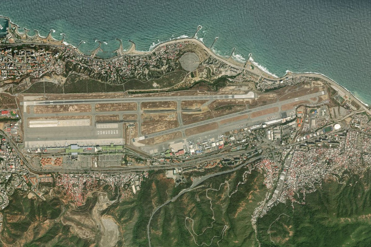
Cano Dulce(POI16) to SKBQ(SKBQ)
Distance: 15.31NM Bearing: 106° 7 minutes
Turn northeast and head towards the mountain peak in the distance. This will bring you to the southern end of Barranquilla, and the international airport
Leg 6
Flying from SKBQ
Leg Distance: 41.91 Approximate time at 125kts: 20 minutes.
SKBQ(SKBQ) to Playa Linda(POI17)
Distance: 11.8NM Bearing: 59° 6 minutes
Head northeast to meet the coast
Playa Linda(POI17) to Cienaga Grande de Santa Marta(POI18)
Distance: 10.17NM Bearing: 114° 5 minutes
Follow the coast east towards the marshland of Ciénaga Grande de Santa Marta Biosphere Reserve
Cienaga Grande de Santa Marta(POI18) to Puebloviejo(POI19)
Distance: 10.43NM Bearing: 93° 5 minutes
Follow the highway east along the small strip of land between the lake and the sea
Puebloviejo(POI19) to Cienaga(POI20)
Distance: 6.28NM Bearing: 50° 3 minutes
Head northeast past the large town of Cienaga
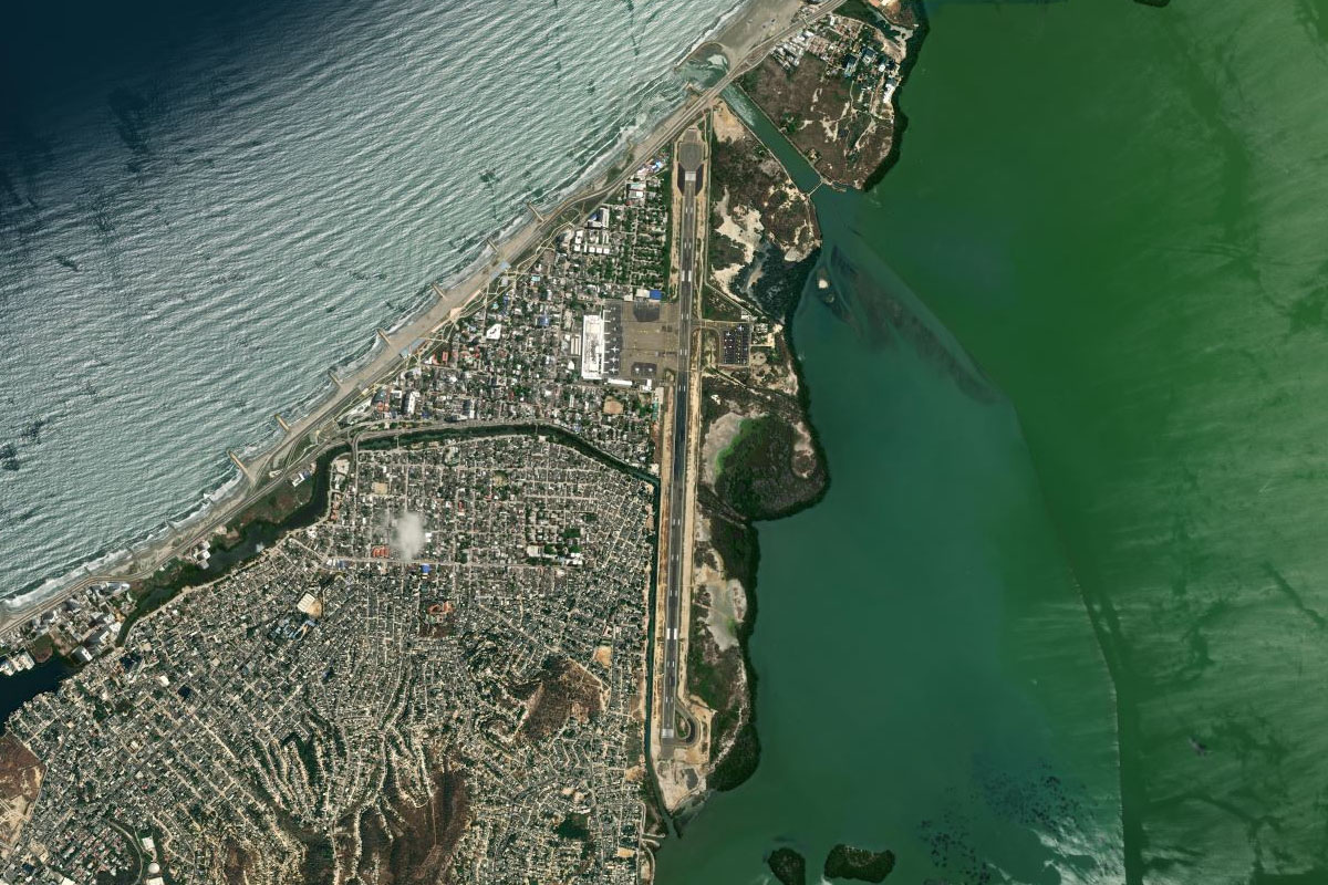
Cienaga(POI20) to SKSM(SKSM)
Distance: 3.23NM Bearing: 353° 2 minutes
Santa Marta's Simon Bolivar airport sits next to the shore just north of Cienaga
Leg 7
Flying from SKSM
Leg Distance: 42.78 Approximate time at 125kts: 21 minutes.
SKSM(SKSM) to Rodadero – Cruce Alcatraces(POI21)
Distance: 3.3NM Bearing: 10° 2 minutes
After takeoff, follow the highway north along the coast
Rodadero – Cruce Alcatraces(POI21) to Calle 30(POI22)
Distance: 3.44NM Bearing: 55° 2 minutes
Follow the highway as it turns northeast inland
Calle 30(POI22) to Santa Marta(POI23)
Distance: 2.48NM Bearing: 327° 1 minutes
Head northwest over the city of Santa Marta
Santa Marta(POI23) to Isla de la Aguja(POI24)
Distance: 4.04NM Bearing: 29° 2 minutes
Follow the coastline northeast
Isla de la Aguja(POI24) to Punta Placelito(POI25)
Distance: 9.93NM Bearing: 85° 5 minutes
Continue following the rugged coastline east
Punta Placelito(POI25) to Parque Nacional Natural Tayrona(POI26)
Distance: 10.97NM Bearing: 125° 5 minutes
Continue east along the coast of Tayrona National Park, with its beaches and forested coves
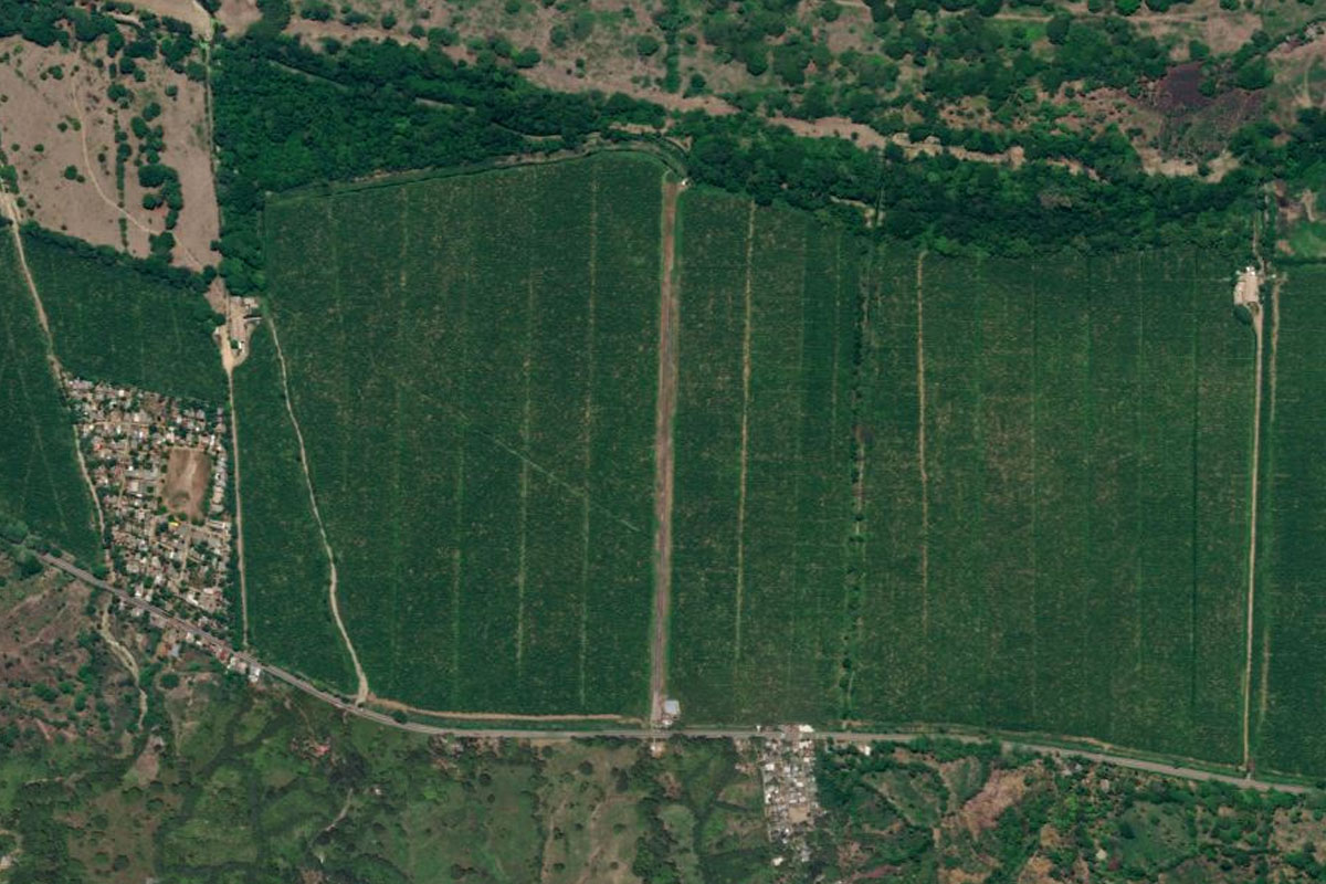
Parque Nacional Natural Tayrona(POI26) to SKDU(SKDU)
Distance: 8.62NM Bearing: 109° 4 minutes
After the national park, follow highway 90 east past banana plantations, and the small dirt airstrip in the middle of them
Leg 8
Flying from SKDU
Leg Distance: 51.34 Approximate time at 125kts: 25 minutes.
SKDU(SKDU) to Dibulla(POI27)
Distance: 23.98NM Bearing: 95° 12 minutes
After takeoff, turn to the east and follow the coast. The Sierra Nevada de Santa Marta lies to the south
Dibulla(POI27) to Riohacha(POI28)
Distance: 23.8NM Bearing: 63° 11 minutes
Continue along the coast as it turns northeast to the town of Riohacha
Riohacha(POI28) to SKRH(SKRH)
Distance: 3.56NM Bearing: 85° 2 minutes
The airport is at the southwestern edge of the town
Leg 9
Flying from SKRH
Leg Distance: 41.49 Approximate time at 125kts: 20 minutes.
SKRH(SKRH) to Via Riohacha – Malcao(POI29)
Distance: 5.68NM Bearing: 104° 3 minutes
Head east after takeoff and meet up with highway 90 heading in the same direction
Via Riohacha – Malcao(POI29) to Malcao(POI30)
Distance: 33.98NM Bearing: 114° 16 minutes
Follow the highway east across the flat plain to the town of Malcao
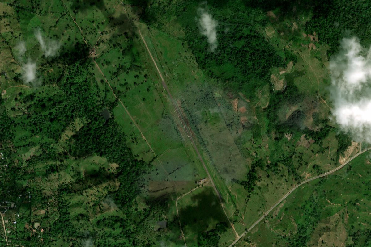
Malcao(POI30) to SKMJ(SKMJ)
Distance: 1.83NM Bearing: 90° 1 minutes
The dirt airstrip is at the northern edge of the town
Leg 10
Flying from SKMJ
Leg Distance: 62.98 Approximate time at 125kts: 30 minutes.
SKMJ(SKMJ) to Gulf of Venezuela(POI31)
Distance: 24.46NM Bearing: 134° 12 minutes
From Malcao, head southeast towards the perfect curve of the Gulf of Venezuela
Gulf of Venezuela(POI31) to Rio Limon(POI32)
Distance: 11.74NM Bearing: 157° 6 minutes
Follow the highway southeast to the mouth of the Limon River
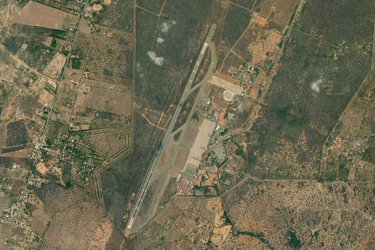
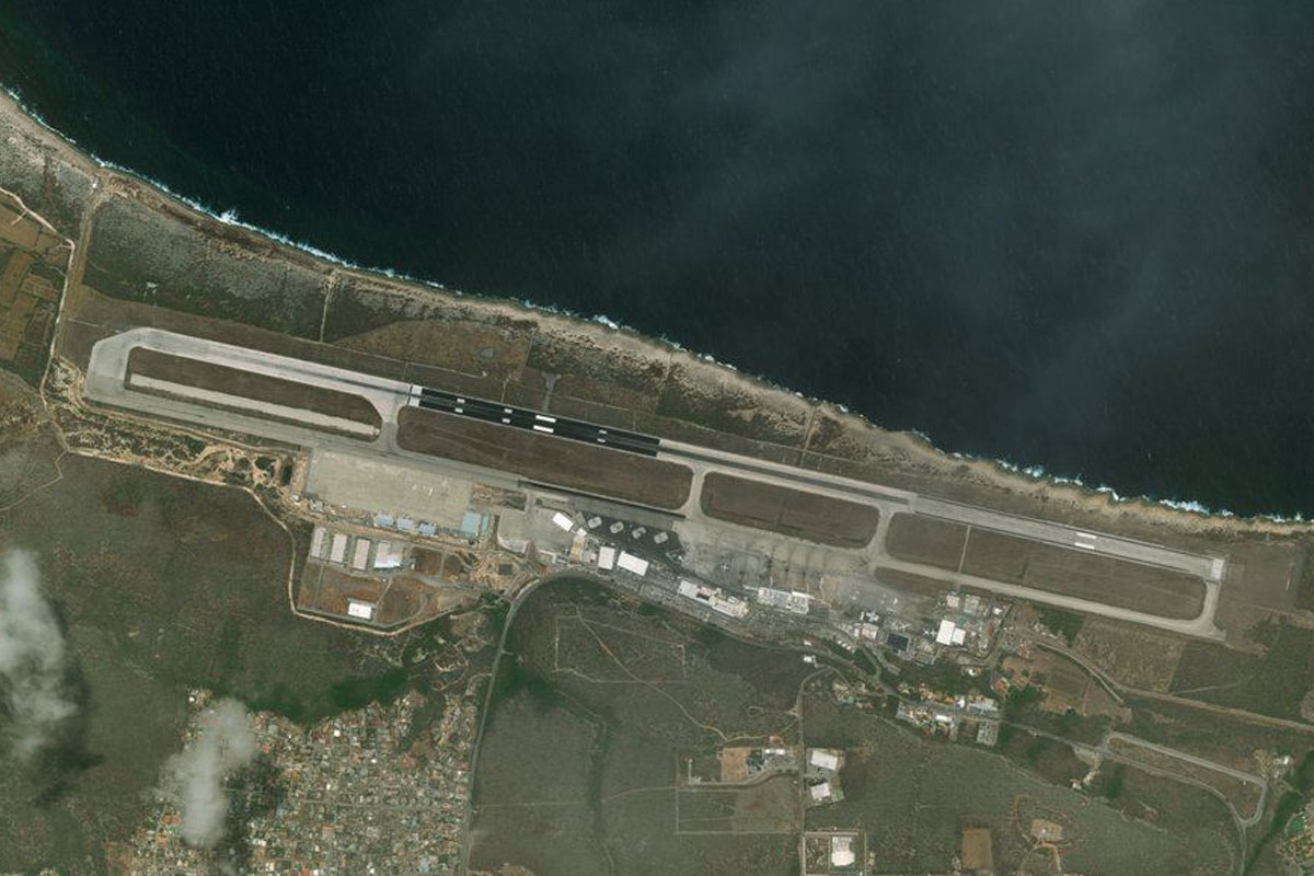
Rio Limon(POI32) to SVMC(SVMC)
Distance: 26.78NM Bearing: 184° 13 minutes
Head south past the city of Maracaibo, and the airport at its southwestern edge
Leg 11
Flying from SVMC
Leg Distance: 72.52 Approximate time at 125kts: 35 minutes.
SVMC(SVMC) to Maracaibo(POI33)
Distance: 17.2NM Bearing: 94° 8 minutes
Head east after takeoff and follow the General Rafael Urdaneta Bridge across the Tablazo Strait
Maracaibo(POI33) to Carratera Falcon-Zulia(POI34)
Distance: 6.88NM Bearing: 40° 3 minutes
Follow the main highway as it turns to the northeast
Carratera Falcon-Zulia(POI34) to La Prigamosa(POI35)
Distance: 18.07NM Bearing: 101° 9 minutes
Keep following the highway as it heads east
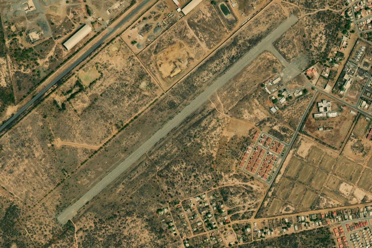
La Prigamosa(POI35) to SVDU(SVDU)
Distance: 30.37NM Bearing: 59° 15 minutes
Follow the highway on its long journey northeast to the town of Dabajuro. The airport is wedged between the highway and the town
Leg 12
Flying from SVDU
Leg Distance: 58.21 Approximate time at 125kts: 28 minutes.
SVDU(SVDU) to Zazarida(POI36)
Distance: 20.83NM Bearing: 54° 10 minutes
After takeoff, head northeast to the coast. The distant mountain peak (Cerro Santa Ana) will lead the way
Zazarida(POI36) to Paraguana Peninsula(POI37)
Distance: 27.5NM Bearing: 54° 13 minutes
Still heading towards the distant mountain, cross the waters of the Coro Gulf to the Paraguaná Peninsula
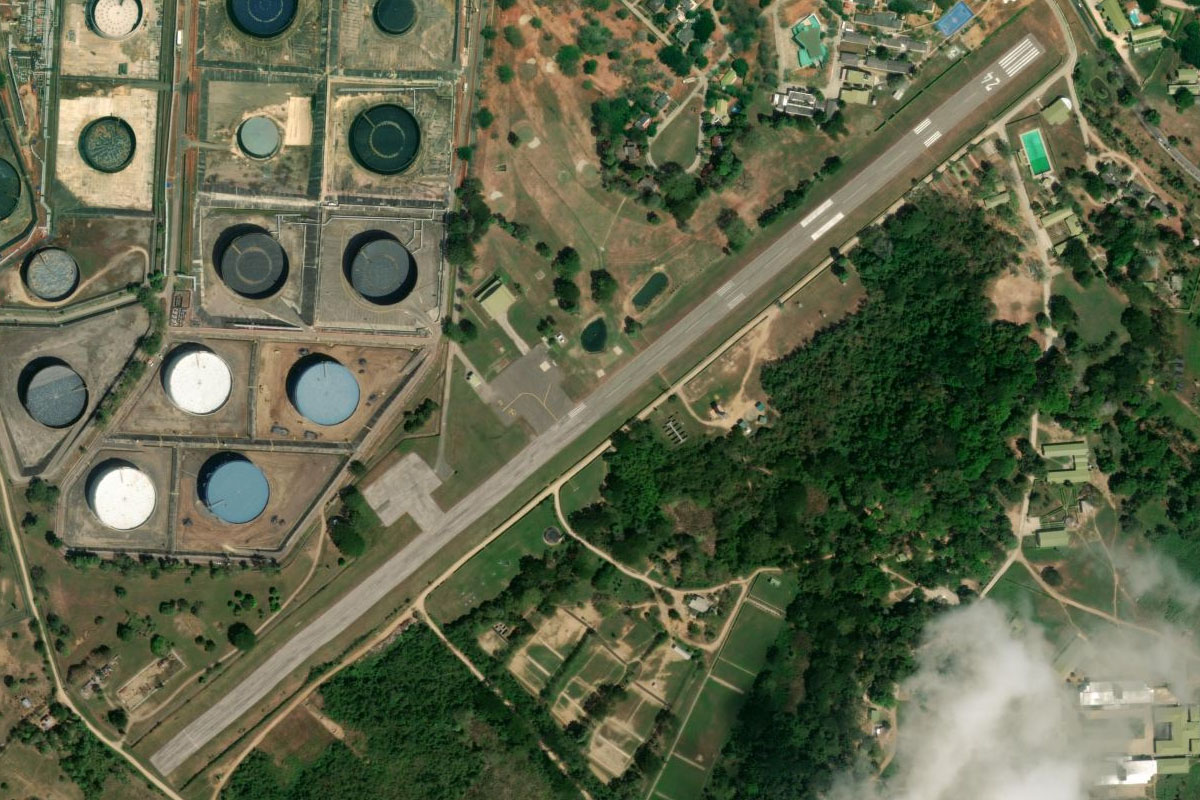
Paraguana Peninsula(POI37) to SVJC(SVJC)
Distance: 9.88NM Bearing: 5° 5 minutes
When you reach the coast, turn north past the town of Punto Fijo, to the airport northeast of the refinery
Leg 13
Flying from SVJC
Leg Distance: 45.82 Approximate time at 125kts: 22 minutes.
SVJC(SVJC) to Paraguana Peninsula(POI38)
Distance: 25.97NM Bearing: 36° 12 minutes
Head northeast to the northern end of the peninsula
Paraguana Peninsula(POI38) to Aruba(POI39)
Distance: 19.17NM Bearing: 3° 9 minutes
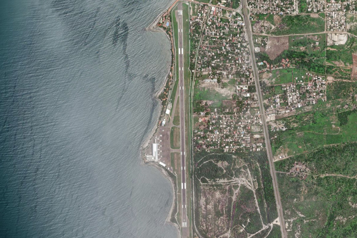
Fly north to the island of Aruba
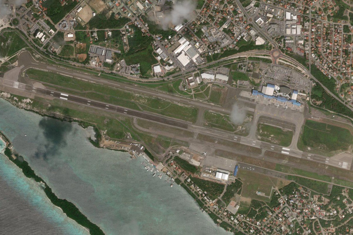
Aruba(POI39) to TNCA(TNCA)
Distance: 0.68NM Bearing: 29° 0 minutes
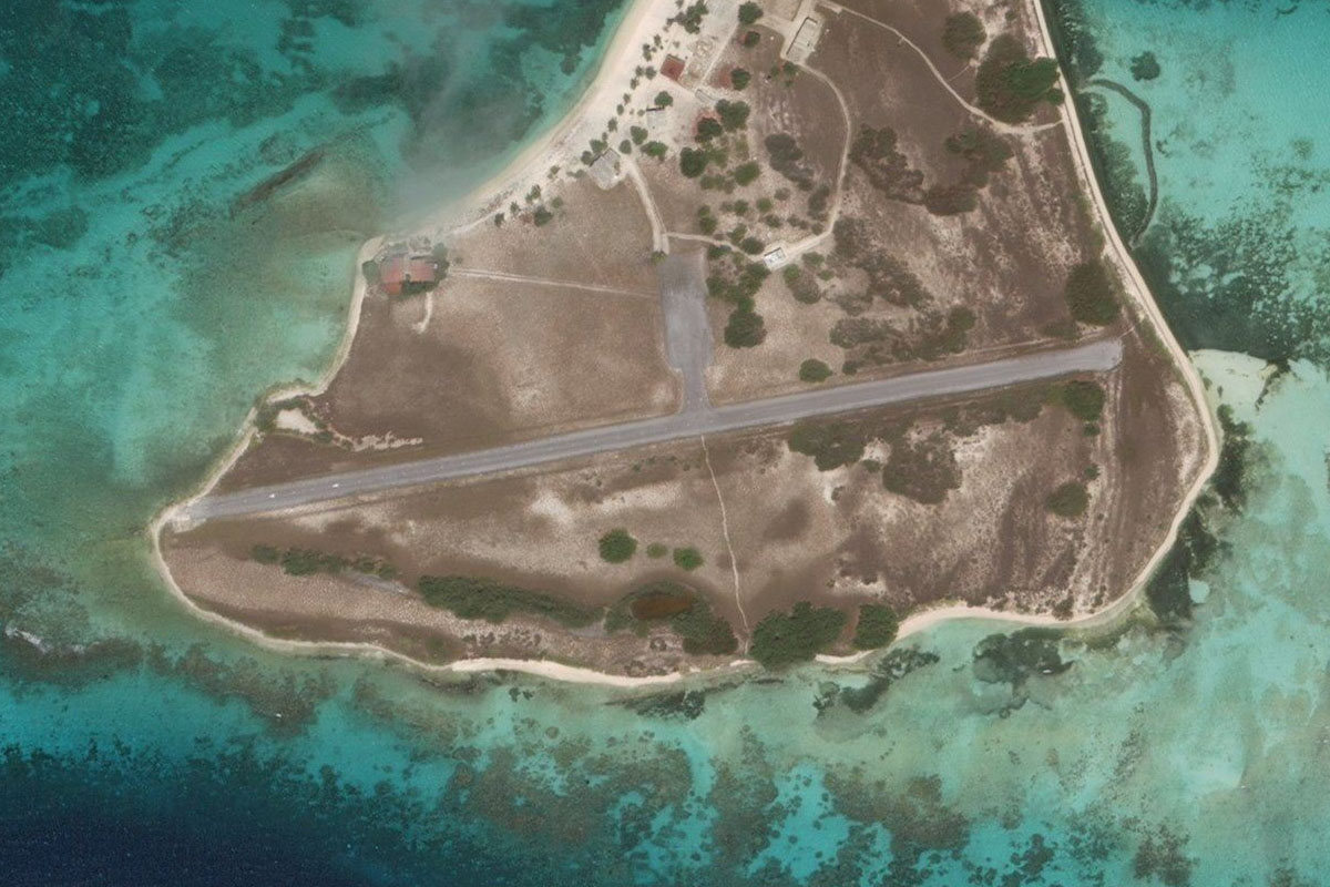
Beatrix International Airport will be easy to spot with its runway extending out into the ocean
Leg 14
Flying from TNCA
Leg Distance: 69.16 Approximate time at 125kts: 33 minutes.
TNCA(TNCA) to Punta Basora(POI40)
Distance: 10.07NM Bearing: 131° 5 minutes
After takeoff, head to the southeastern end of the island
Punta Basora(POI40) to Curacao(POI41)
Distance: 41.83NM Bearing: 104° 20 minutes
Head east across the Caribbean to the island nation of Curaçao
Curacao(POI41) to Christoffel National Park(POI42)
Distance: 13.31NM Bearing: 157° 6 minutes
Flying southeast along the length of the island, you'll cross over the mountains of the Christoffel National Park before heading towards the capital, Willemstad
Christoffel National Park(POI42) to TNCC(TNCC)
Distance: 3.95NM Bearing: 121° 2 minutes
Hato Intl is on the northern coast, halfway along the island
Leg 15
Flying from TNCC
Leg Distance: 44.73 Approximate time at 125kts: 21 minutes.
TNCC(TNCC) to Willemstad(POI43)
Distance: 4.8NM Bearing: 167° 2 minutes
Head southeast to the city of Willemstad
Willemstad(POI43) to Oostpunt(POI44)
Distance: 11.72NM Bearing: 124° 6 minutes
Continue southeast to the eastern tip of the island
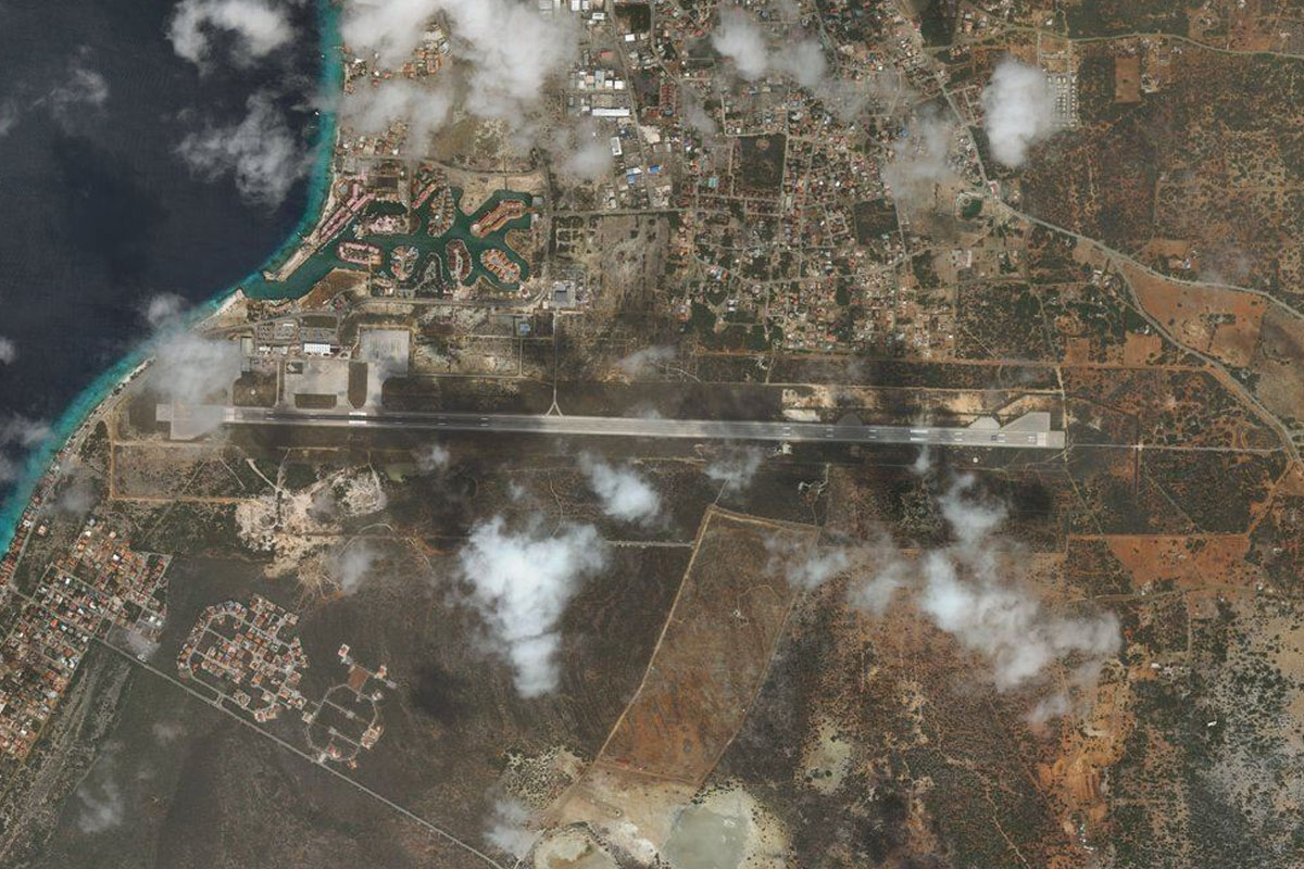
Oostpunt(POI44) to TNCB(TNCB)
Distance: 28.21NM Bearing: 91° 14 minutes
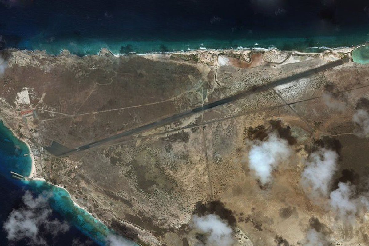
Head east over the Caribbean, this time to the island of Bonaire. The airport sits on the west coast just south of the capital, Kralendijk
Leg 16
Flying from TNCB
Leg Distance: 40.38 Approximate time at 125kts: 19 minutes.
TNCB(TNCB) to Flamingo Sanctuary(POI45)
Distance: 6.43NM Bearing: 183° 3 minutes
Head south from the airport and over the salt flats which form the major industry of the island. There is also a flamingo sanctuary at the island's southern end
Flamingo Sanctuary(POI45) to SVL1(SVL1)
Distance: 33.95NM Bearing: 106° 16 minutes
Head east from Bonaire to the small atoll island of Isla Larga, part of the Las Aves archipelago. There is a small dirt airstrip across the northern part of the island
Leg 17
Flying from SVL1
Leg Distance: 49.53 Approximate time at 125kts: 24 minutes.
SVL1(SVL1) to Isla Oeste(POI46)
Distance: 11.35NM Bearing: 108° 5 minutes
Continue east to the next island in the group, Isla Oeste
Isla Oeste(POI46) to Isla Sur(POI47)
Distance: 3.19NM Bearing: 131° 2 minutes
A short hop to the southwest will take you to Isla Sur
Isla Sur(POI47) to Selesqui(POI48)
Distance: 29.18NM Bearing: 110° 14 minutes
Turn back towards the east and head for the next group of islands, Los Roques
Selesqui(POI48) to SVDM(SVDM)
Distance: 5.81NM Bearing: 165° 3 minutes
There is a paved runway on Mosquises, one of the archipelago's western islands
Leg 18
Flying from SVDM
Leg Distance: 51.64 Approximate time at 125kts: 25 minutes.
SVDM(SVDM) to Gran Roque(POI49)
Distance: 15.79NM Bearing: 67° 8 minutes
After takeoff, explore the islands to the northeast, including the most developed, Gran Roque
Gran Roque(POI49) to Punta Sebastopol(POI50)
Distance: 11.82NM Bearing: 167° 6 minutes
Follow the chain of islands around to the south to the lighthouse at Point Sebastopol
Punta Sebastopol(POI50) to SVLO(SVLO)
Distance: 24.03NM Bearing: 98° 12 minutes
Turning east and heading back over the sea, you'll soon arrive at Orchilla Island, and the airport at its western point
Leg 19
Flying from SVLO
Leg Distance: 77.07 Approximate time at 125kts: 37 minutes.
SVLO(SVLO) to Isla La Tortuga(POI51)
Distance: 70.72NM Bearing: 149° 34 minutes
Heading southeast across the sea, this time towards the distant Turimiquire Mountains of mainland Venezuela, you'll meet the island of La Tortuga
Isla La Tortuga(POI51) to SVDA(SVDA)
Distance: 6.35NM Bearing: 117° 3 minutes
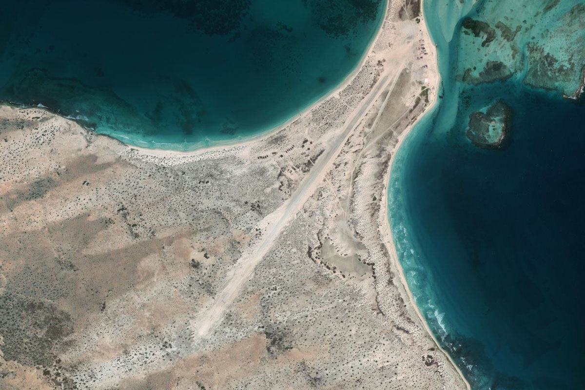
The small airport is at the eastern end of the island
Leg 20
Flying from SVDA
Leg Distance: 75.16 Approximate time at 125kts: 36 minutes.
SVDA(SVDA) to Punta Arena(POI52)
Distance: 11.55NM Bearing: 277° 6 minutes
After takeoff, head to the western end of the island
Punta Arena(POI52) to Laguna De Tacarigla(POI53)
Distance: 45.2NM Bearing: 226° 22 minutes
Heading southwest across the Caribbean will take you back to the mainland
Laguna De Tacarigla(POI53) to SVHG(SVHG)
Distance: 18.41NM Bearing: 318° 9 minutes
Turn right and follow the coast northwest to Higuerote Airport, just before the town
Leg 21
Flying from SVHG
Leg Distance: 57.96 Approximate time at 125kts: 28 minutes.
SVHG(SVHG) to Guatire(POI54)
Distance: 25.47NM Bearing: 283° 12 minutes
After takeoff, head west and run along the southern side of the coastal mountain range
Guatire(POI54) to Caracas(POI55)
Distance: 23.35NM Bearing: 290° 11 minutes
Follow the valley and highway west to Venezuela's capital and largest city, Caracas
Caracas(POI55) to L-02(POI56)
Distance: 5.86NM Bearing: 309° 3 minutes
Continue west and follow the highway as it turns northwest and descends to the coast
L-02(POI56) to SVMI(SVMI)
Distance: 3.28NM Bearing: 29° 2 minutes
The highway will lead north to the coast, and Simon Bolivar International Airport, the final destination of this stage of the tour