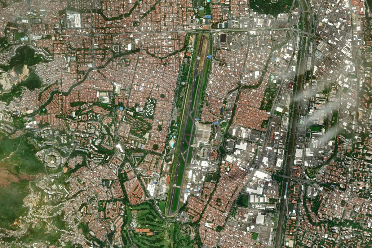
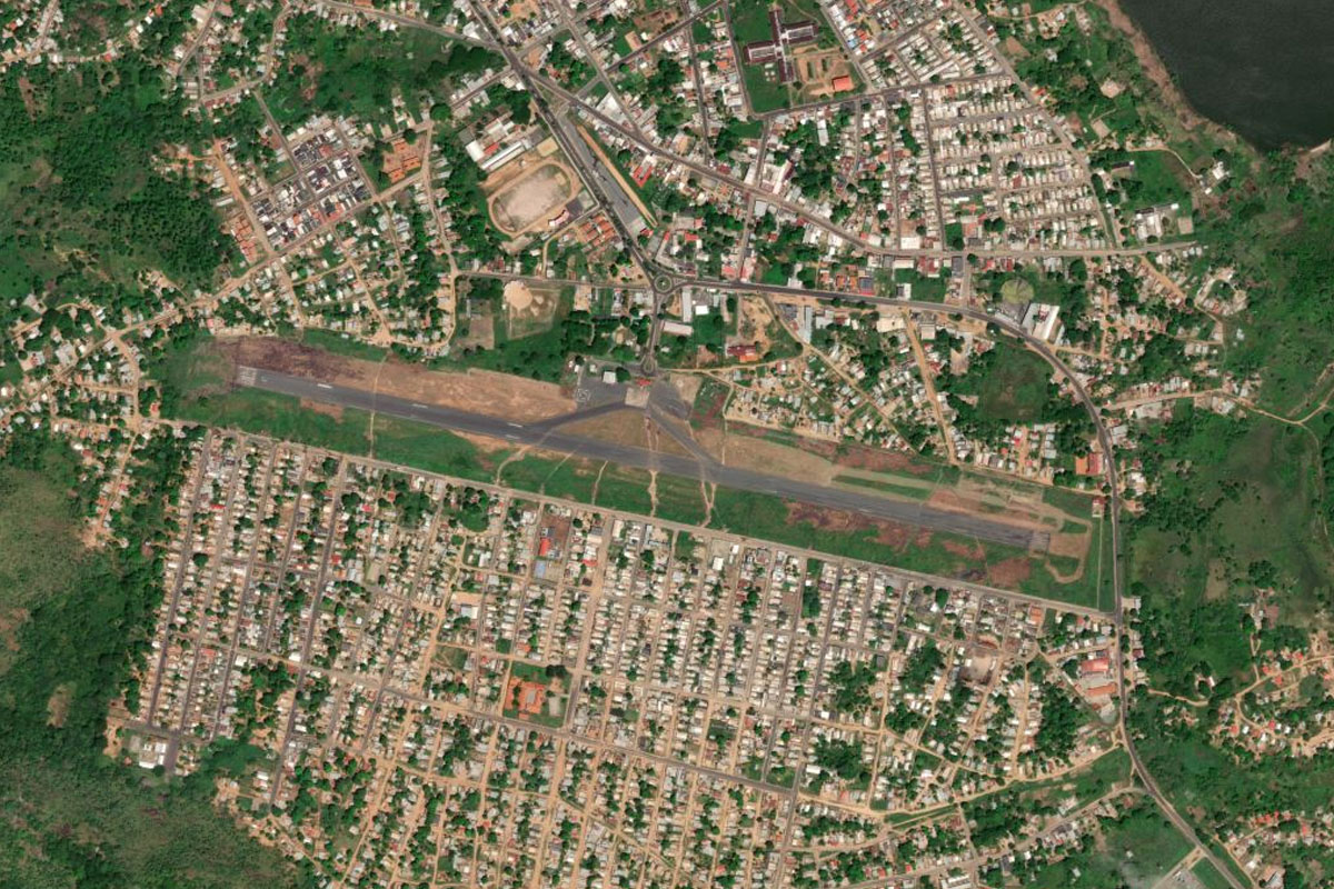
Stage 20 of the tour continues our exploration of the South American countries of Venezuela and Colombia. Leaving Caracas, you’ll head south across the Llanos (plains) of Venezuela to the mighty Orinoco River, where you’ll journey upstream to the western edge of the Guayana Natural Region, an area famous for it’s large mesa-like mountains (Tepui). You’ll then make your way west across the Llanos to one of the northern branches of the Andes Mountains, the Cordillera Oriental. You’ll cross this range and the next, the Cordillera Central, before a visit to the major tourist attraction of Peñol-Guatapé and the end of the stage in Colombia’s second largest city, Medellin.
Total Legs: 22 Total Distance: 1067 Total Time(125kts): 8 hours 32 minutes
Leg 1
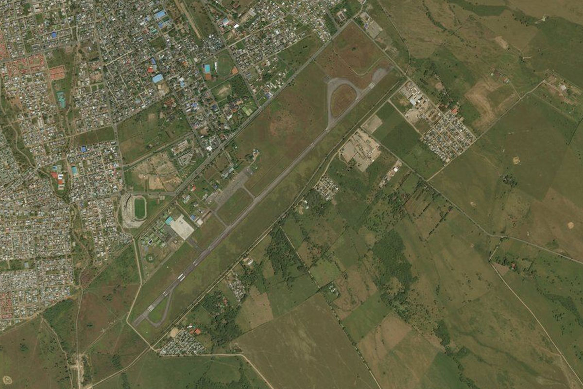
Flying from SVMI
Leg Distance: 51.91 Approximate time at 125kts: 25 minutes.
SVMI(SVMI) to L-02(POI1)
Distance: 3.52NM Bearing: 203° 2 minutes
After takeoff, follow the highway south through the mountains
L-02(POI1) to Caracas(POI2)
Distance: 5.22NM Bearing: 126° 3 minutes
Stay with the highway as it climbs southeast to Caracas
Caracas(POI2) to Charallave(POI3)
Distance: 16.57NM Bearing: 180° 8 minutes
From downtown Caracas, turn south and head over the mountains to the town of Charallave
Charallave(POI3) to Cerro Curucuti(POI4)
Distance: 15.04NM Bearing: 186° 7 minutes
Continue south and pass to the left of the group of taller mountains ahead, which form part of the northern end of the Andes Mountain Range
Cerro Curucuti(POI4) to SVCC(SVCC)
Distance: 11.56NM Bearing: 213° 6 minutes
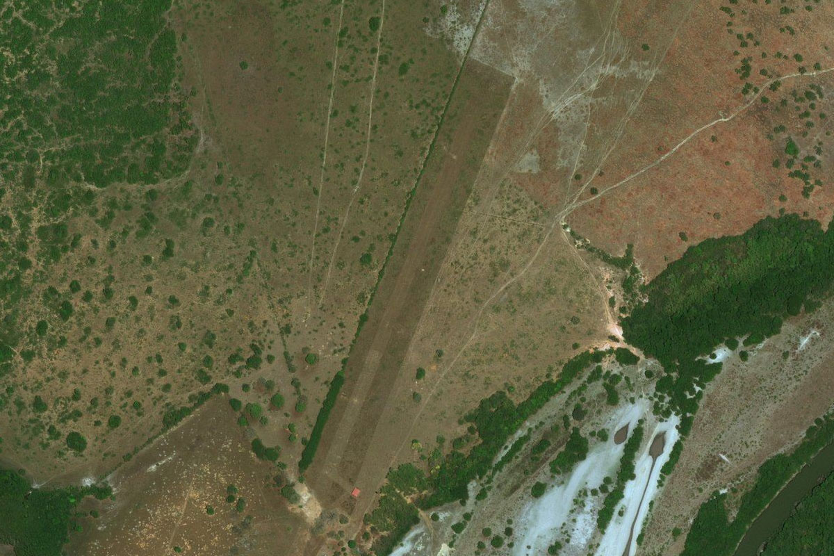
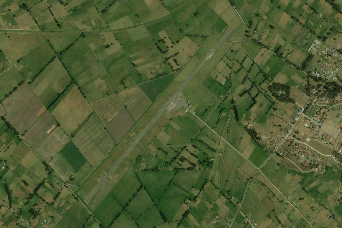
After passing the taller peaks, turn to the southwest and head to the town of Camatagua, a few miles east of the Camatagua Reservoir. The airfield is just northwest of the town
Leg 2
Flying from SVCC
Leg Distance: 54.62 Approximate time at 125kts: 26 minutes.
SVCC(SVCC) to Rio Guarico(POI5)
Distance: 12.57NM Bearing: 179° 6 minutes
After takeoff, head south and follow the Guarico River to the small town of San Francisco de Cara where it will also meet a small highway
Rio Guarico(POI5) to Powerlines(POI6)
Distance: 26.03NM Bearing: 136° 12 minutes
Just after the town, where the river and highway turn away to the southwest, turn southeast and follow the power line clearing and powerlines in a straight line until they cross the (unfinished) major road construction
Powerlines(POI6) to Powerlines(POI7)
Distance: 2.97NM Bearing: 136° 1 minutes
After crossing the unfinished highway, continue following the powerlines southeast for a few more miles before turning south
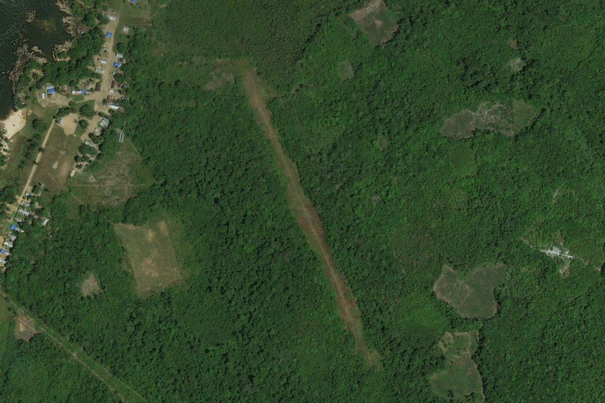
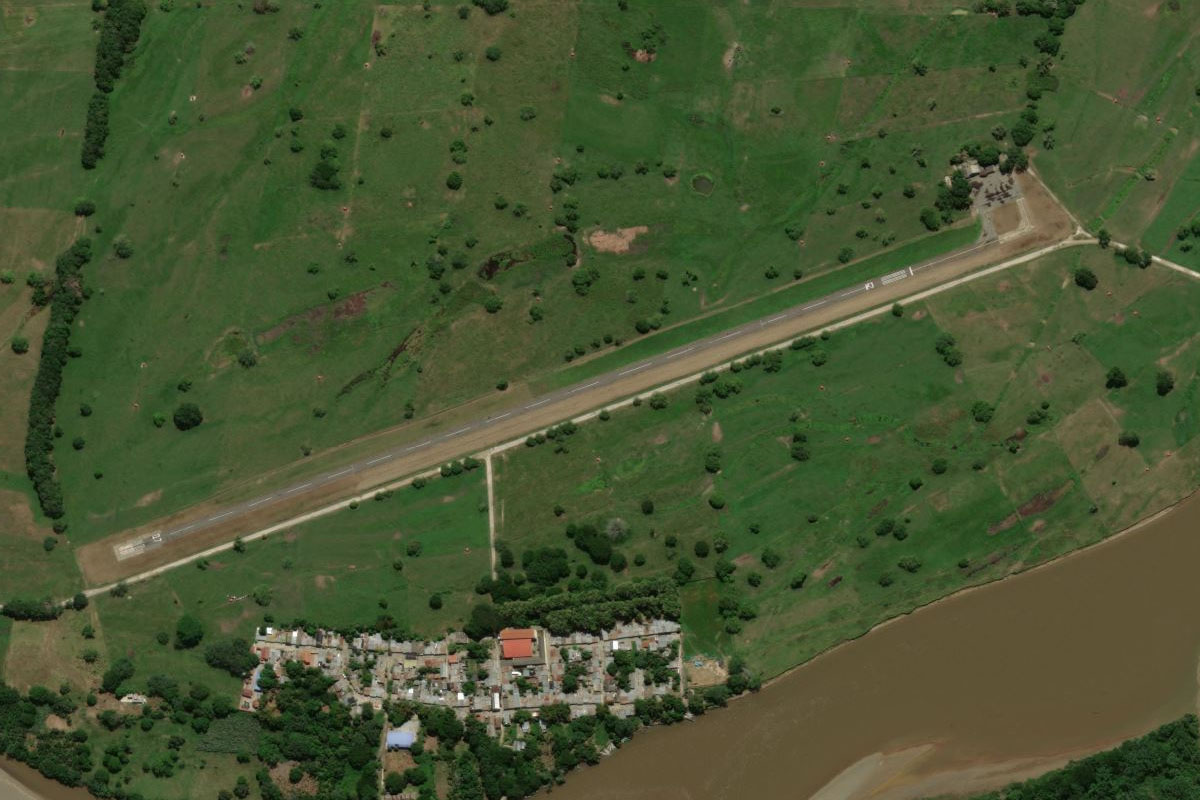
Powerlines(POI7) to SVTY(SVTY)
Distance: 13.05NM Bearing: 182° 6 minutes
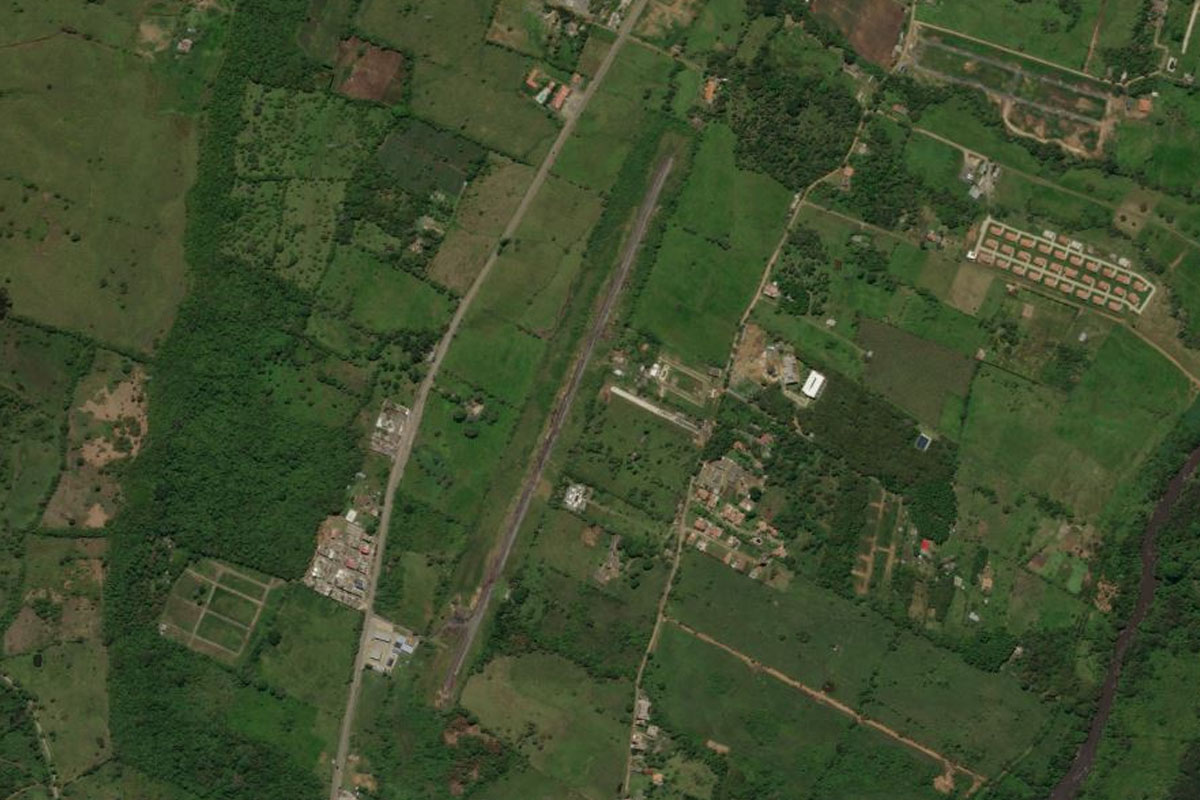
Heading south for the town of Las Mercedes del Llano, you will reach the small grass strip just north of the town
Leg 3
Flying from SVTY
Leg Distance: 49.51 Approximate time at 125kts: 24 minutes.
SVTY(SVTY) to T-12(POI8)
Distance: 8.33NM Bearing: 197° 4 minutes
Head south over the town and follow the highway south from there
T-12(POI8) to T-12(POI9)
Distance: 17.74NM Bearing: 213° 9 minutes
Keep following the highway as it turns to the southwest
T-12(POI9) to T-12(POI10)
Distance: 21.72NM Bearing: 163° 10 minutes
Keep following the highway as it turns back to the southeast
T-12(POI10) to SVX1(SVX1)
Distance: 1.72NM Bearing: 208° 1 minutes
An unfinished road construction will be running alongside the highway, with a temporary landing point just after the new road base crosses to the west side of the highway
Leg 4
Flying from SVX1
Leg Distance: 49.17 Approximate time at 125kts: 24 minutes.
SVX1(SVX1) to T-12(POI11)
Distance: 20.68NM Bearing: 179° 10 minutes
After takeoff, continue following the road south
T-12(POI11) to Cabruta(POI12)
Distance: 23.52NM Bearing: 195° 11 minutes
Keep following the road all the way to the town of Cabruta, on the Orinoco River, one of South America's longest rivers
Cabruta(POI12) to SVCD(SVCD)
Distance: 4.97NM Bearing: 127° 2 minutes
Head east across the river to the airport at Caicara del Orinoco
Leg 5
Flying from SVCD
Leg Distance: 54.77 Approximate time at 125kts: 26 minutes.
SVCD(SVCD) to Rio Orinoco(POI13)
Distance: 52.64NM Bearing: 252° 25 minutes
Begin the upstream journey along the Orinoco River by heading west from the town
Rio Orinoco(POI13) to SVX2(SVX2)
Distance: 2.13NM Bearing: 192° 1 minutes
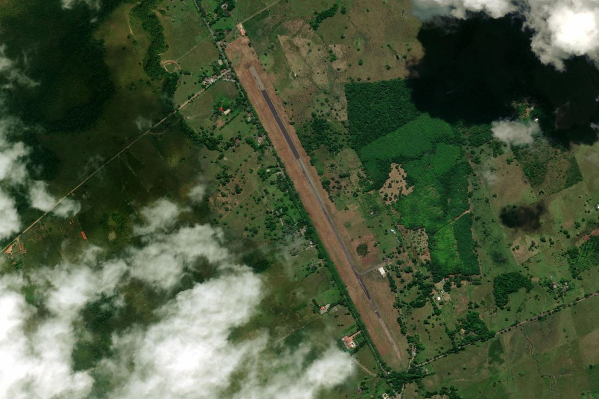
On the south bank of the river is the small town of La Urbana, which also lies at the base of some hills. The dirt airstrip is on the southeastern edge of town
Leg 6
Flying from SVX2
Leg Distance: 71.48 Approximate time at 125kts: 34 minutes.
SVX2(SVX2) to Rio Orinoco(POI14)
Distance: 11.12NM Bearing: 249° 5 minutes
Head southwest to rejoin the river
Rio Orinoco(POI14) to Rio Orinoco(POI15)
Distance: 34.04NM Bearing: 200° 16 minutes
Continue following the river south
Rio Orinoco(POI15) to Puerto Paez(POI16)
Distance: 20.61NM Bearing: 242° 10 minutes
Keep following the river as it heads southwest
Puerto Paez(POI16) to SKPC(SKPC)
Distance: 5.71NM Bearing: 248° 3 minutes
The river will meet with the Meta River at the town of Puerto Carreño, which lies on the Colombian side of the river. The airport is in the center of town
Leg 7
Flying from SKPC
Leg Distance: 40.82 Approximate time at 125kts: 20 minutes.
SKPC(SKPC) to Rio Orinoco(POI17)
Distance: 12.49NM Bearing: 170° 6 minutes
After takeoff, head back to the river and follow it southeast
Rio Orinoco(POI17) to Rio Orinoco(POI18)
Distance: 17.22NM Bearing: 238° 8 minutes
Stay with the river as it turns to the southwest
Rio Orinoco(POI18) to Puerto Ayacucho(POI19)
Distance: 8.8NM Bearing: 200° 4 minutes
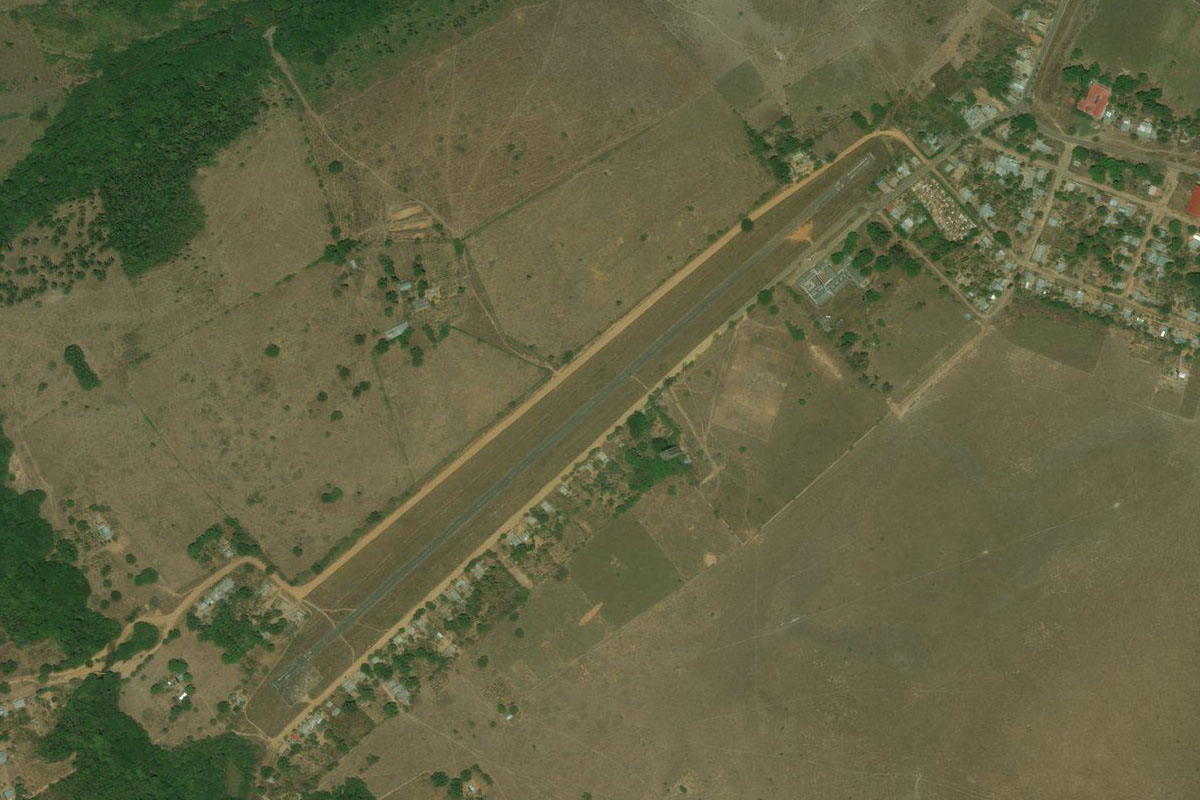
Follow the river south to the large town of Puerto Ayacucho, the capital of Amazonas State
Puerto Ayacucho(POI19) to SVPA(SVPA)
Distance: 2.31NM Bearing: 143° 1 minutes
The airport lies south of the town, a couple of miles east of the river
Leg 8
Flying from SVPA
Leg Distance: 57.23 Approximate time at 125kts: 27 minutes.
SVPA(SVPA) to Rio Orinoco(POI20)
Distance: 9.62NM Bearing: 201° 5 minutes
After takeoff, head back to the river and follow it south
Rio Orinoco(POI20) to Rio Orinoco(POI21)
Distance: 16.12NM Bearing: 248° 8 minutes
Follow the river southwest
Rio Orinoco(POI21) to Isla Raton(POI22)
Distance: 10.48NM Bearing: 172° 5 minutes
The river will again turn to the south and pass the hilly Isla Camejo and Maypure Rapids section of the river filled with many small islands. When you reach the largest island, Isla Raton, turn east
Isla Raton(POI22) to Rio Cuao(POI23)
Distance: 15.98NM Bearing: 108° 8 minutes
Head east towards the northern end of the mountain range in the distance. Just before the mountain range, you will reach the Cuao River. Follow it south
Rio Cuao(POI23) to SVQL(SVQL)
Distance: 5.03NM Bearing: 214° 2 minutes
The small town of La Danta and its airstrip sit on the eastern edge of the Cuao River
Leg 9
Flying from SVQL
Leg Distance: 48 Approximate time at 125kts: 23 minutes.
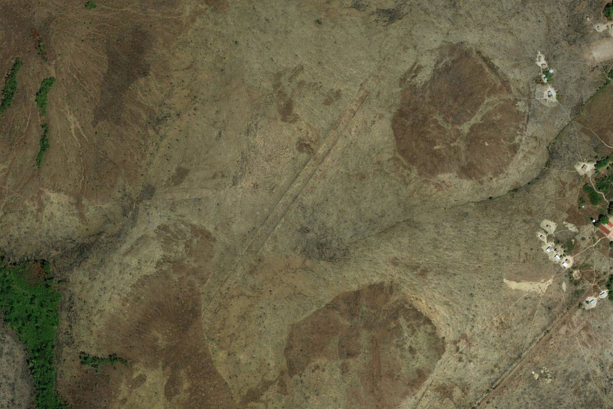
SVQL(SVQL) to Cerro Autana(POI24)
Distance: 11.88NM Bearing: 163° 6 minutes
After takeoff, head south over the first group of hills towards the main mountain attraction in the area, Cerro Autana, one of the famous "tepui" mesa-like mountains of South America
Cerro Autana(POI24) to Cerro del Indio(POI25)
Distance: 3.69NM Bearing: 230° 2 minutes
From Cerro Autana, turn southwest to the smaller peaks of Cerro del Indio
Cerro del Indio(POI25) to Rio Orinoco(POI26)
Distance: 19.91NM Bearing: 286° 10 minutes
Head west back to the Orinoco River, passing over the Autana and Sipapo Rivers on the way
Rio Orinoco(POI26) to Cerro Buena Vista(POI27)
Distance: 10.59NM Bearing: 14° 5 minutes
Follow the river north to where it passes between two groups of hills, then turn northeast
Cerro Buena Vista(POI27) to SVX3(SVX3)
Distance: 1.93NM Bearing: 64° 1 minutes
The dirt landing strip lies just between the small hill and the settlement on the riverbank
Leg 10
Flying from SVX3
Leg Distance: 62.95 Approximate time at 125kts: 30 minutes.
SVX3(SVX3) to Rio Tuparro(POI28)
Distance: 18.52NM Bearing: 318° 9 minutes
After takeoff, head northwest back into Colombia and to the junction of two rivers, Rio Tuparro and Caño Tuparrito
Rio Tuparro(POI28) to Rio Tomo(POI29)
Distance: 31.84NM Bearing: 319° 15 minutes
Continue northwest to the Tomo River and follow it west
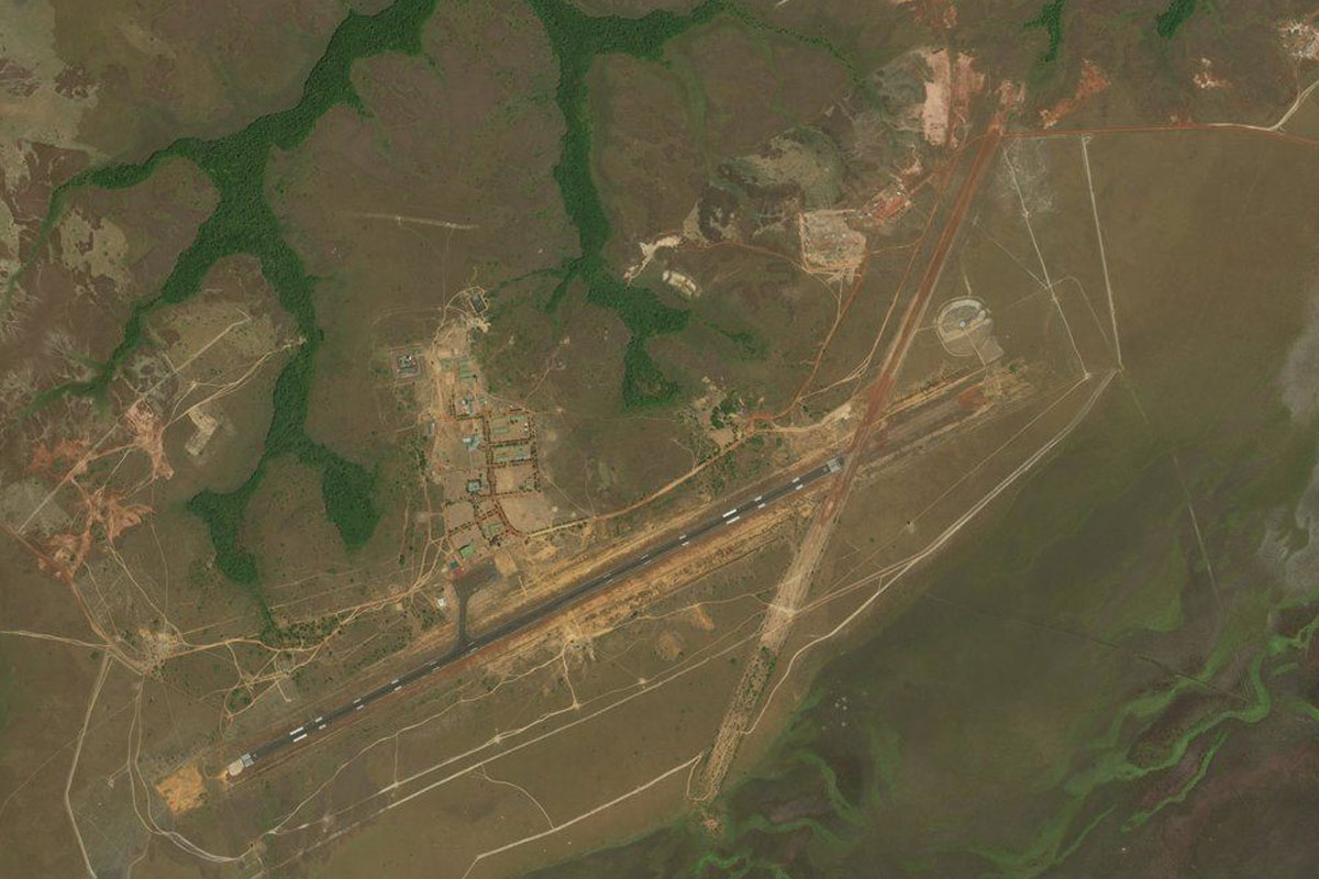
Rio Tomo(POI29) to SKUA(SKUA)
Distance: 12.59NM Bearing: 280° 6 minutes
As you follow the winding river west, look out for Marandúa Air Base a couple of miles north of the river
Leg 11
Flying from SKUA
Leg Distance: 42.19 Approximate time at 125kts: 20 minutes.
SKUA(SKUA) to Rio Bita(POI30)
Distance: 24.85NM Bearing: 317° 12 minutes
Head northwest over the vast tropical grass plains known as "llanos" to the Bita River
Rio Bita(POI30) to SKIJ(SKIJ)
Distance: 17.34NM Bearing: 319° 8 minutes
Continue northwest over the Llanos to the small settlement at El Cimarrón Airport, which sits 8 miles south of the Meta River
Leg 12
Flying from SKIJ
Leg Distance: 55.25 Approximate time at 125kts: 27 minutes.
SKIJ(SKIJ) to Rio Meta(POI31)
Distance: 43.35NM Bearing: 273° 21 minutes
After takeoff, head west to meet with the Meta River
Rio Meta(POI31) to Rio Meta(POI32)
Distance: 9.52NM Bearing: 228° 5 minutes
Follow the Meta River southwest
Rio Meta(POI32) to SVX4(SVX4)
Distance: 2.38NM Bearing: 275° 1 minutes
When you enter the area of the river filled with sandbars, look out for the landing strip with its accompanying buildings a couple of miles west of the river
Leg 13
Flying from SVX4
Leg Distance: 57.92 Approximate time at 125kts: 28 minutes.
SVX4(SVX4) to Rio Meta(POI33)
Distance: 8.05NM Bearing: 234° 4 minutes
Head southwest back to the river
Rio Meta(POI33) to La Primavera(POI34)
Distance: 15.8NM Bearing: 265° 8 minutes
Follow the river southwest past the town of La Primavera, which sits just south of the river
La Primavera(POI34) to Santa Rosalia(POI35)
Distance: 31.57NM Bearing: 238° 15 minutes
Continue along the river southwest to the town of Santa Rosalia
Santa Rosalia(POI35) to SKSL(SKSL)
Distance: 2.5NM Bearing: 226° 1 minutes
The airstrip is just south of the town
Leg 14
Flying from SKSL
Leg Distance: 52.56 Approximate time at 125kts: 25 minutes.
SKSL(SKSL) to Rio Pauto(POI36)
Distance: 7.29NM Bearing: 309° 3 minutes
After takeoff, head over to the other side of the river and follow the smaller Pauto River northwest
Rio Pauto(POI36) to Rio Pauto(POI37)
Distance: 21.9NM Bearing: 290° 11 minutes
Keep following the Pauto River west
Rio Pauto(POI37) to Trinidad(POI38)
Distance: 21.23NM Bearing: 305° 10 minutes
Stay with the river to the town of Trinidad
Trinidad(POI38) to SKTD(SKTD)
Distance: 2.14NM Bearing: 10° 1 minutes
Trinidad Airport is just north of the town
Leg 15
Flying from SKTD
Leg Distance: 33.78 Approximate time at 125kts: 16 minutes.
SKTD(SKTD) to Rio Pauto(POI39)
Distance: 16.76NM Bearing: 304° 8 minutes
After takeoff, continue following the river northwest
Rio Pauto(POI39) to Rio Pauto(POI40)
Distance: 3.13NM Bearing: 292° 2 minutes
At the junction with a smaller river, keep following the Rio Pauto to the west
Rio Pauto(POI40) to Rio Pauto(POI41)
Distance: 10.23NM Bearing: 320° 5 minutes
Follow the river northwest into the foothills of the Andes Mountains
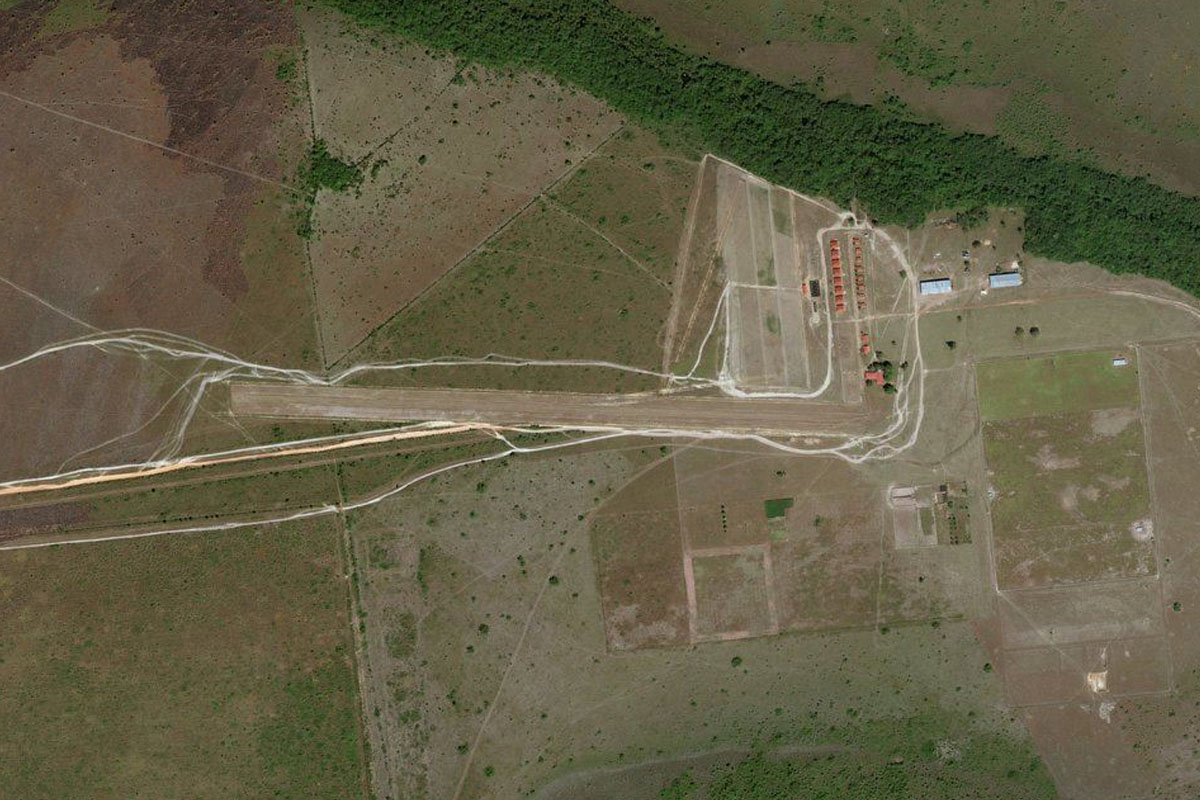
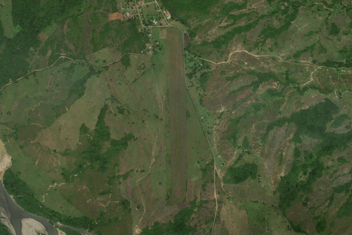
Rio Pauto(POI41) to SQUJ(SQUJ)
Distance: 3.66NM Bearing: 8° 2 minutes
Follow the river as it turns north and starts its journey into the mountains. The airstrip is on the hill just to the right side of the river as it turns back to the west
Leg 16
Flying from SQUJ
Leg Distance: 31.73 Approximate time at 125kts: 15 minutes.
SQUJ(SQUJ) to Nunchia(POI42)
Distance: 5.4NM Bearing: 248° 3 minutes
After takeoff, head southwest back over the river and along the valley to the town of Nunchia
Nunchia(POI42) to Rio Nunchia(POI43)
Distance: 13.43NM Bearing: 227° 6 minutes
Follow the Nunchia River southwest along the valley
Rio Nunchia(POI43) to Yopal(POI44)
Distance: 8.2NM Bearing: 193° 4 minutes
When the river turns away to the west, head south out of the valley to the town of Yopal
Yopal(POI44) to SKYP(SKYP)
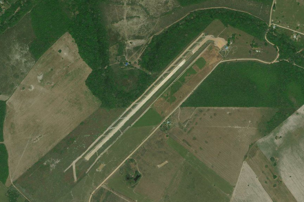
Distance: 4.7NM Bearing: 244° 2 minutes
Yopal Airport is at the southwestern edge of the city
Leg 17
Flying from SKYP
Leg Distance: 51.03 Approximate time at 125kts: 24 minutes.
SKYP(SKYP) to Rio Cravo Sur(POI45)
Distance: 18.03NM Bearing: 329° 9 minutes
Head northeast over Yopal and follow the Cravo Sur River into the Cordillera Oriental – the eastern branch of the Andes mountains in Colombia
Rio Cravo Sur(POI45) to Rio Cravo Sur(POI46)
Distance: 11.89NM Bearing: 351° 6 minutes
At the river junction near the town of Labrazagrande, turn north and continue climbing with the Cravo Sur River
Rio Cravo Sur(POI46) to Mongua(POI47)
Distance: 7.42NM Bearing: 294° 4 minutes
Further upstream at another fork in the river, take the left valley where you should see a dirt road winding its way up the mountain to the left, climb out of the valley with the road
Mongua(POI47) to Sogamoso(POI48)
Distance: 10.37NM Bearing: 262° 5 minutes
As you reach the higher plateau, fly west to the valley then turn to the southwest and head for the city of Sogamoso
Sogamoso(POI48) to SKSO(SKSO)
Distance: 3.32NM Bearing: 236° 2 minutes
The airport is in the valley south of the city
Leg 18
Flying from SKSO
Leg Distance: 44.25 Approximate time at 125kts: 21 minutes.
SKSO(SKSO) to Alto Chuscal(POI49)
Distance: 24.4NM Bearing: 285° 12 minutes
After takeoff, head west to the gap in the distant mountain range
Alto Chuscal(POI49) to Arcabuco(POI50)
Distance: 4.27NM Bearing: 309° 2 minutes
Follow the highway northwest through the valley to the town of Arcabuco
Arcabuco(POI50) to Moniquira(POI51)
Distance: 10.53NM Bearing: 321° 5 minutes
Keep following the road northwest through the next valley to the town of Moniquirá
Moniquira(POI51) to SKET(SKET)
Distance: 5.05NM Bearing: 340° 2 minutes
Continue northwest to the town of Barbosa, and the airport north of the town
Leg 19
Flying from SKET
Leg Distance: 41.74 Approximate time at 125kts: 20 minutes.
SKET(SKET) to Guespa(POI52)
Distance: 5.12NM Bearing: 35° 2 minutes
After takeoff, fly northeast (runway heading) to the nearby town of Guespa which sits on a hillside above a small valley
Guespa(POI52) to La Paz(POI53)
Distance: 9.3NM Bearing: 4° 4 minutes
From Guespa, head north to the small town of La Paz, which sits high on the mountain range
La Paz(POI53) to Landazuri(POI54)
Distance: 14.02NM Bearing: 288° 7 minutes
From La Paz, turn west over the lower land, passing over a ridge with a road running along the top, then to the town of Landazuri which sits on the next ridge
Landazuri(POI54) to Cimitarra(POI55)
Distance: 9.9NM Bearing: 315° 5 minutes
From Landazuri turn northwest and descend with the river to the town of Cimitarra, which is in the large Magdalena River valley between the Cordillera Oriental and Cordillera Central branches of the Andes mountains
Cimitarra(POI55) to SKCM(SKCM)
Distance: 3.4NM Bearing: 348° 2 minutes
The airport is north of the town, next to the highway
Leg 20
Flying from SKCM
Leg Distance: 39.39 Approximate time at 125kts: 19 minutes.
SKCM(SKCM) to Rio Magdalena(POI56)
Distance: 29.88NM Bearing: 272° 14 minutes
Head west across the wide valley to the Magdalena River
Rio Magdalena(POI56) to La Sierra(POI57)
Distance: 7.99NM Bearing: 237° 4 minutes
Follow the river southwest to the narrow section between the towns of La Sierra and Puerto Serviez
La Sierra(POI57) to SKPN(SKPN)
Distance: 1.52NM Bearing: 249° 1 minutes
The airport is at the junction of the Magdalena and Nare Rivers
Leg 21
Flying from SKPN
Leg Distance: 53.55 Approximate time at 125kts: 26 minutes.
SKPN(SKPN) to Rio Nare(POI58)
Distance: 7.85NM Bearing: 318° 4 minutes
Follow the Nare River northwest into the valley
Rio Nare(POI58) to Embalse Playas(POI59)
Distance: 14.87NM Bearing: 278° 7 minutes
When the river turns around to the south, head west out of the valley across to the Playas Reservoir
Embalse Playas(POI59) to San Rafael(POI60)
Distance: 7.47NM Bearing: 279° 4 minutes
Continue west and follow the Guatapé River past the town of San Rafael
San Rafael(POI60) to Penol-Guatape(POI61)
Distance: 5.53NM Bearing: 258° 3 minutes
Follow the Guatapé River southwest to the vast Peñol-Guatapé Reservoir
Penol-Guatape(POI61) to Piedra del Penol(POI62)
Distance: 3.03NM Bearing: 223° 1 minutes
Head southwest past the resort town of Guatapé, to the popular tourist attraction of Piedra del Peñol, a giant granite rock southwest of the town
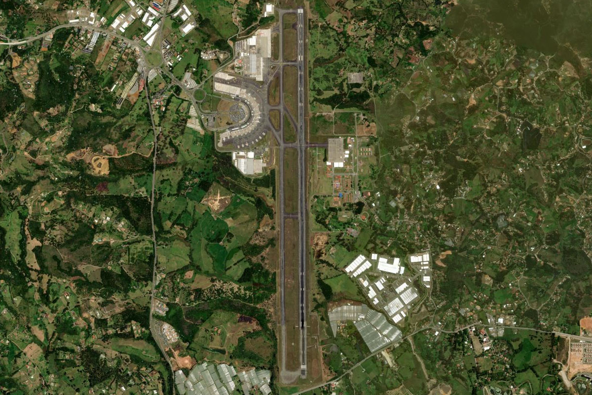
Piedra del Penol(POI62) to SKRG(SKRG)
Distance: 14.8NM Bearing: 264° 7 minutes
Head west past the town of Rionegro, to the large airport northwest of the town
Leg 22
Flying from SKRG
Leg Distance: 23.12 Approximate time at 125kts: 11 minutes.
SKRG(SKRG) to Autopista Medellin-Bogota(POI63)
Distance: 5.4NM Bearing: 2° 3 minutes
Fly north to the main highway that links the two largest cities in Colombia, Medellin and Bogota
Autopista Medellin-Bogota(POI63) to Copacabana(POI64)
Distance: 7.39NM Bearing: 335° 4 minutes
Follow the highway northwest to the Medellin River valley
Copacabana(POI64) to Medellin(POI65)
Distance: 3.99NM Bearing: 244° 2 minutes
Follow the valley southwest to Medellin, the second largest city in Colombia
Medellin(POI65) to SKMD(SKMD)
Distance: 6.34NM Bearing: 206° 3 minutes
Continue southwest to the airport, and the end of this stage of the tour