Stage 22 makes a leisurely start south from the port city of Guayaquil before heading back into the Andes Mountains, and a spectacular journey along the Marañón River through ‘The Grand Canyon of the Amazon’ to one of the most dangerous airport approaches in the world at Chagual Airport. In the second half of the stage you’ll cross the Andes back to the west before heading south along the desert coast of Peru to the capital, Lima, and then the final stop at Ica
Total Legs: 19 Total Distance: 1067 Total Time(125kts): 8 hours 32 minutes
Leg 1
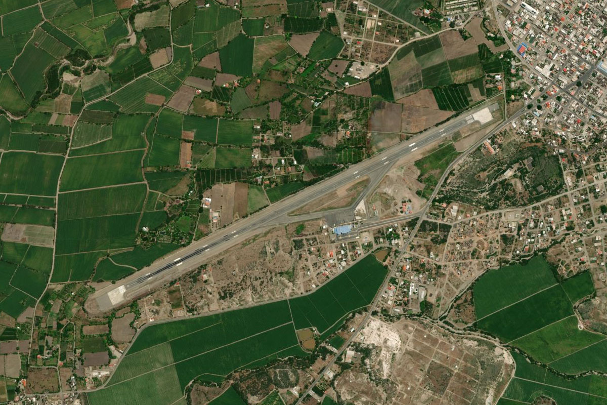
Flying from SEGU
Leg Distance: 40.85 Approximate time at 125kts: 20 minutes.
SEGU(SEGU) to Guayaquil(POI1)
Distance: 5.84NM Bearing: 183° 3 minutes
After takeoff, head south over Guayaquil
Guayaquil(POI1) to Estero el Salado(POI2)
Distance: 10.56NM Bearing: 233° 5 minutes
Turn southwest and follow the waterway
Estero el Salado(POI2) to Estero el Salado(POI3)
Distance: 20.38NM Bearing: 221° 10 minutes
Continue following the estuary southwest towards the ocean
Estero el Salado(POI3) to SEPO(SEPO)
Distance: 4.07NM Bearing: 226° 2 minutes
Just northwest of Posorja, the town at the mouth of the estuary, is the small airfield
Leg 2
Flying from SEPO
Leg Distance: 22.16 Approximate time at 125kts: 11 minutes.
SEPO(SEPO) to Isla Puna(POI4)
Distance: 5.42NM Bearing: 135° 3 minutes
After takeoff, fly southeast over Posorja to Puna Island
Isla Puna(POI4) to Isla Puna(POI5)
Distance: 12.83NM Bearing: 139° 6 minutes
Continue southeast to the other side of the island
Isla Puna(POI5) to SE03(SE03)
Distance: 3.91NM Bearing: 225° 2 minutes
Turn right and follow the coast southwest to the small airport at Las Penas, just south of the river mouth
Leg 3
Flying from SE03
Leg Distance: 35.36 Approximate time at 125kts: 17 minutes.
SE03(SE03) to Jambeli Channel(POI6)
Distance: 15.99NM Bearing: 137° 8 minutes
After takeoff, head southeast over the channel
Jambeli Channel(POI6) to Machala(POI7)
Distance: 8.41NM Bearing: 212° 4 minutes
Turn and follow the coast south to the city of Machala, which lies at the estuary mouth
Machala(POI7) to SERO(SERO)
Distance: 10.96NM Bearing: 186° 5 minutes
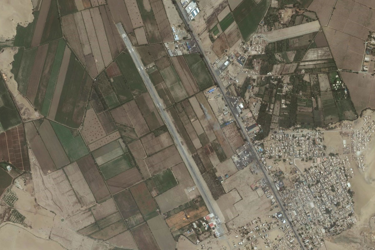
From Machala, head south to Santa Rosa Airport, which sits just west of the town
Leg 4
Flying from SERO
Leg Distance: 56.7 Approximate time at 125kts: 27 minutes.
SERO(SERO) to Represa Tahuin(POI8)
Distance: 11.59NM Bearing: 183° 6 minutes
Head south over the hills to the Tahuin Reservoir
Represa Tahuin(POI8) to Rio Naranjo(POI9)
Distance: 14.96NM Bearing: 99° 7 minutes
Head east from the reservoir, climbing with the river along the valley into the mountains
Rio Naranjo(POI9) to Pinas(POI10)
Distance: 3.55NM Bearing: 117° 2 minutes
Continue southeast over the mountain to the town of Piñas which sits in a small valley
Pinas(POI10) to Catamayo(POI11)
Distance: 23.06NM Bearing: 137° 11 minutes
From Piñas, head southeast over the large open valley and cross the mountains on the other side before descending to the large town of Catamayo, which sits in another valley
Catamayo(POI11) to SECA(SECA)
Distance: 3.54NM Bearing: 154° 2 minutes
The airport is at the western side of the town
Leg 5
Flying from SECA
Leg Distance: 53.07 Approximate time at 125kts: 25 minutes.
SECA(SECA) to Rio Catamayo(POI12)
Distance: 8.51NM Bearing: 260° 4 minutes
Head through the gap in the mountains and follow the Catamayo River
Rio Catamayo(POI12) to Rio Catamayo(POI13)
Distance: 10.35NM Bearing: 217° 5 minutes
Continue following the river southwest as it enters a wider valley
Rio Catamayo(POI13) to Rio Catamayo(POI14)
Distance: 13.29NM Bearing: 288° 6 minutes
At the river junction near the southern end of the valley, follow the river west through another valley
Rio Catamayo(POI14) to Cordillera de Guallinimi(POI15)
Distance: 17.67NM Bearing: 219° 8 minutes
The river will join with the Playas River as it turns south. Follow it south past the Guallinimi mountain range, then when the river turns away, continue south over the hill and follow the valley
Cordillera de Guallinimi(POI15) to SEMA(SEMA)
Distance: 3.25NM Bearing: 117° 2 minutes
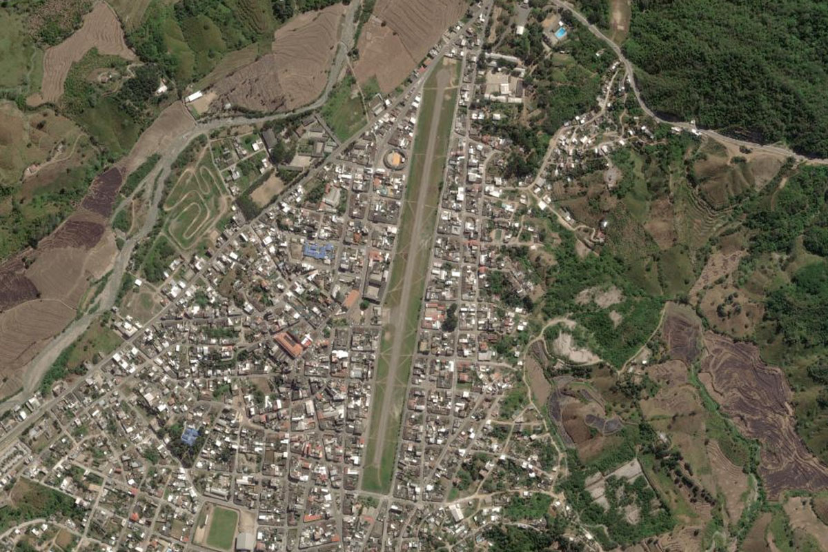
The land south will open out to a large valley with the town of Macara a few miles to the east. The airport is in the center of town
Leg 6
Flying from SEMA
Leg Distance: 75.71 Approximate time at 125kts: 36 minutes.
SEMA(SEMA) to Frias(POI16)
Distance: 29.56NM Bearing: 188° 14 minutes
After takeoff, head south into Peru, and aim for the right side of the large mountain ahead.
Frias(POI16) to Cerro Huamingas(POI17)
Distance: 14.79NM Bearing: 135° 7 minutes
Fly southeast alongside the edge of the plateau
Cerro Huamingas(POI17) to Laguna Shimbe(POI18)
Distance: 18.72NM Bearing: 95° 9 minutes
As you reach the southern end of the plateau, head east across the valley, to a group of mountaintop lakes on the other side
Laguna Shimbe(POI18) to Huancabamba(POI19)
Distance: 10.16NM Bearing: 173° 5 minutes
Turn south and descend into the valley to the small town of Huancabamba
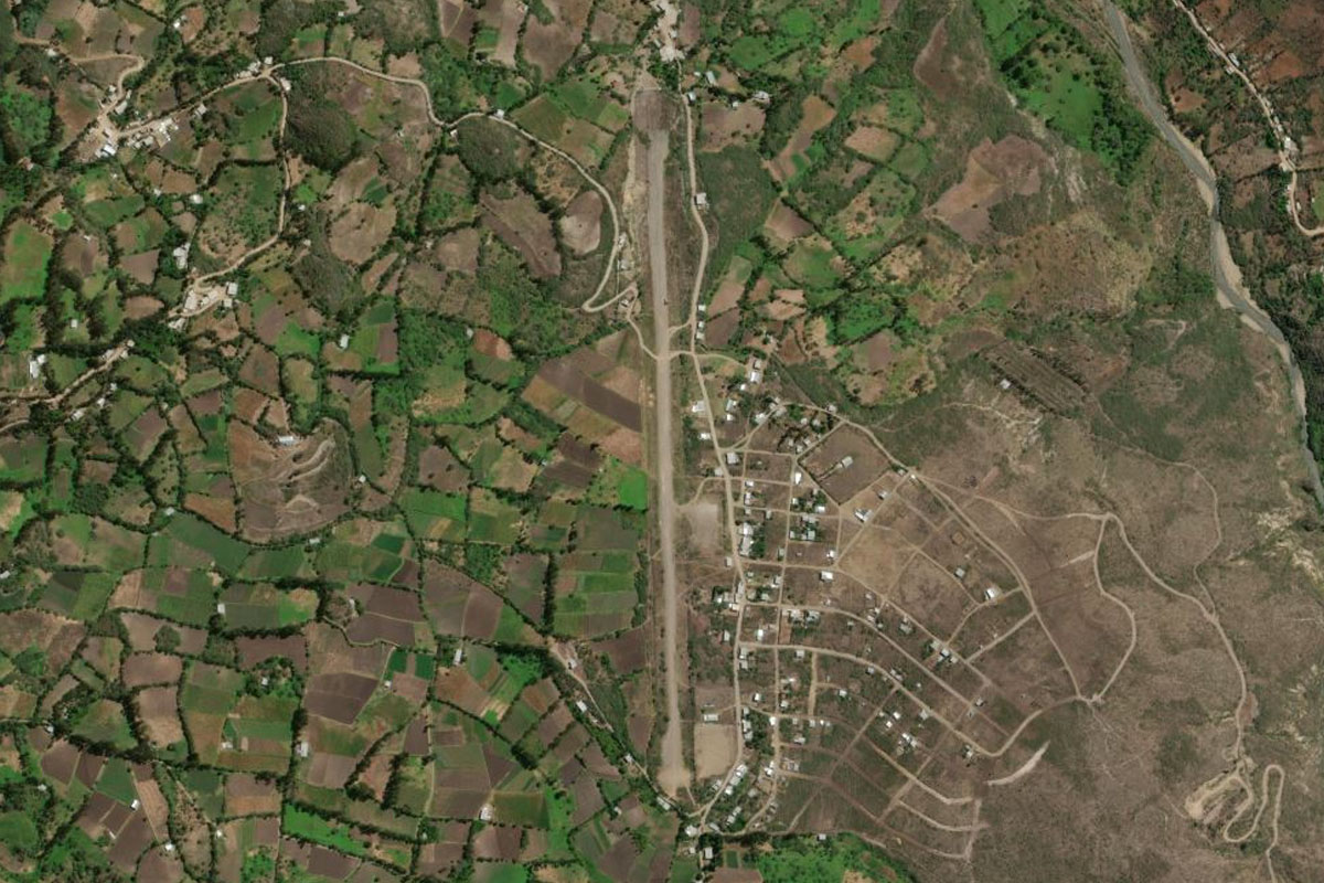
Huancabamba(POI19) to SPAB(SPAB)
Distance: 2.48NM Bearing: 162° 1 minutes
The airport is just south of the town
Leg 7
Flying from SPAB
Leg Distance: 56.37 Approximate time at 125kts: 27 minutes.
SPAB(SPAB) to Rio Huancabamba(POI20)
Distance: 7.88NM Bearing: 167° 4 minutes
Follow the river south along the valley until the farmland gives way to the barren, rocky area
Rio Huancabamba(POI20) to PE-02B(POI21)
Distance: 5.24NM Bearing: 67° 3 minutes
Turn to the east and you'll see two valleys leading to a mountain range. Climb northeast along the northernmost valley to the mountain pass
PE-02B(POI21) to Tamborada(POI22)
Distance: 10.28NM Bearing: 77° 5 minutes
From the mountain pass, continue east along the next valley
Tamborada(POI22) to Huahuaya(POI23)
Distance: 11.26NM Bearing: 149° 5 minutes
The valley will turn to the southeast at the town of Tamborada – follow it southeast
Huahuaya(POI23) to Tamborapa(POI24)
Distance: 13.47NM Bearing: 98° 6 minutes
Follow the valley east to less mountainous terrain. Keep some altitude to spot the airport to the south as you leave the mountains
Tamborapa(POI24) to SPJE(SPJE)
Distance: 8.24NM Bearing: 158° 4 minutes
Once you are out of the mountains, turn to the south and follow the main road to Jaén Airport
Leg 8
Flying from SPJE
Leg Distance: 74.35 Approximate time at 125kts: 36 minutes.
SPJE(SPJE) to Rio Maranon(POI25)
Distance: 14.38NM Bearing: 169° 7 minutes
After takeoff, head southeast to meet up with the Marañón River, one of the main sources of the Amazon River, as it leads south into the valley
Rio Maranon(POI25) to Rio Maranon(POI26)
Distance: 16.81NM Bearing: 158° 8 minutes
Follow the river southeast along the valley
Rio Maranon(POI26) to Rio Maranon(POI27)
Distance: 4.57NM Bearing: 92° 2 minutes
Follow the valley as it turns east
Rio Maranon(POI27) to Rio Maranon(POI28)
Distance: 19.83NM Bearing: 151° 10 minutes
The river will turn back to the southeast, ignore the Silaco River heading south
Rio Maranon(POI28) to Rio Maranon(POI29)
Distance: 14.24NM Bearing: 134° 7 minutes
Continue southeast along the river, which is now in a deep canyon – often referred to as 'The Grand Canyon of the Amazon'
Rio Maranon(POI29) to SPX1(SPX1)
Distance: 4.52NM Bearing: 164° 2 minutes
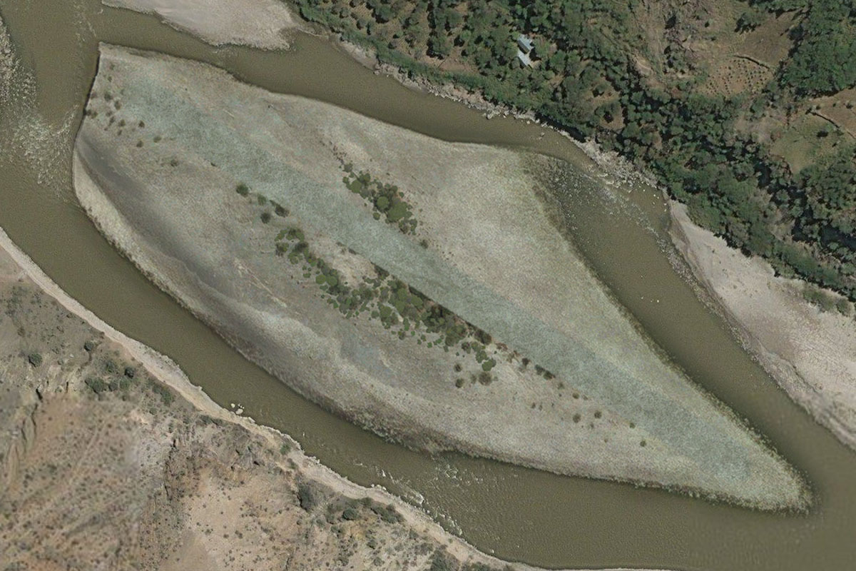
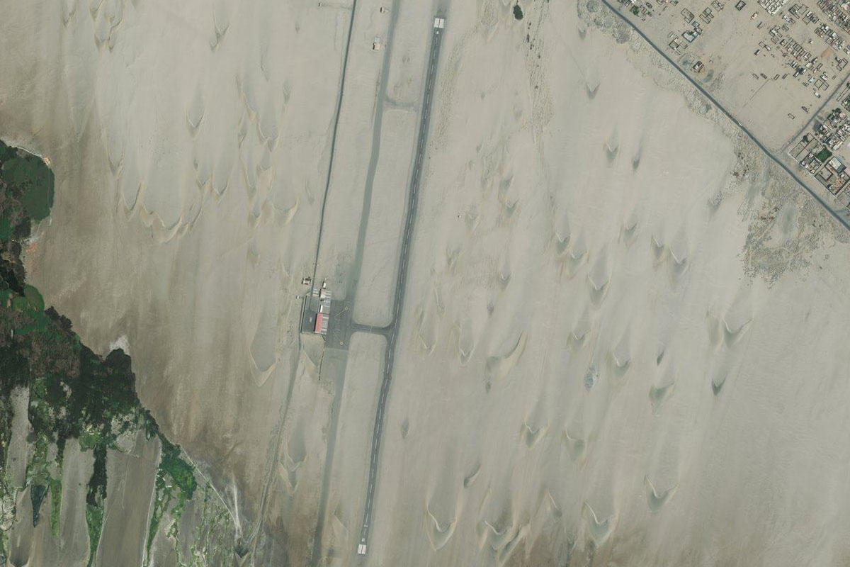
As the river passes through a more desolate area near the small village of Mendan, a large gravel river bar on the left bank will provide a suitable landing area to end this leg
Leg 9
Flying from SPX1
Leg Distance: 81.1 Approximate time at 125kts: 39 minutes.
SPX1(SPX1) to Rio Maranon(POI30)
Distance: 4.26NM Bearing: 171° 2 minutes
After takeoff, continue south along the valley
Rio Maranon(POI30) to Rio Maranon(POI31)
Distance: 4.64NM Bearing: 131° 2 minutes
Follow the valley southeast
Rio Maranon(POI31) to Balsas(POI32)
Distance: 9.32NM Bearing: 172° 4 minutes
Continue south to one of the few towns along the valley, Balsas
Balsas(POI32) to Rio Maranon(POI33)
Distance: 8.92NM Bearing: 179° 4 minutes
Keep following the river south
Rio Maranon(POI33) to Rio Maranon(POI34)
Distance: 10.81NM Bearing: 160° 5 minutes
Follow the river valley southeast
Rio Maranon(POI34) to Rio Maranon(POI35)
Distance: 6.51NM Bearing: 143° 3 minutes
Continue southeast along the valley
Rio Maranon(POI35) to Rio Maranon(POI36)
Distance: 7.06NM Bearing: 174° 3 minutes
Head south to the junction with the Crisnejas river
Rio Maranon(POI36) to Rio Maranon(POI37)
Distance: 7.44NM Bearing: 142° 4 minutes
Keep following the Marañón River southeast
Rio Maranon(POI37) to Rio Maranon(POI38)
Distance: 8.02NM Bearing: 161° 4 minutes
Follow the valley southeast
Rio Maranon(POI38) to SPGL(SPGL)
Distance: 14.12NM Bearing: 173° 7 minutes
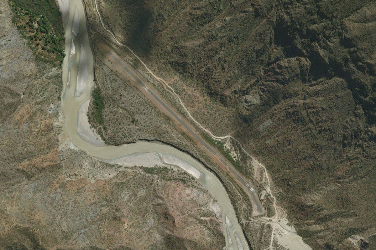
Continue south along the valley past the town of Valle de Vijus. You will also see more roads leading up the mountain sides. Keep an eye out for Chagual Airport on the left bank of the river
Leg 10
Flying from SPGL
Leg Distance: 53.04 Approximate time at 125kts: 25 minutes.
SPGL(SPGL) to Rio Maranon(POI39)
Distance: 0.45NM Bearing: 325° 0 minutes
After takeoff, turn and head back to the north
Rio Maranon(POI39) to Calemar(POI40)
Distance: 19.51NM Bearing: 348° 9 minutes
Head north back along the valley until you reach the junction with the Sholca river, just north of the small town of Calemar, where you will see the road enter the valley to the west
Calemar(POI40) to Fundo Pucarita(POI41)
Distance: 7.13NM Bearing: 252° 3 minutes
Follow the smaller Sholca Stream and the road west along the valley
Fundo Pucarita(POI41) to Quebrada Sholca(POI42)
Distance: 5.48NM Bearing: 188° 3 minutes
Follow the valley as it turns south
Quebrada Sholca(POI42) to Quebrada Sholca(POI43)
Distance: 2.42NM Bearing: 144° 1 minutes
Follow the valley as it kinks left then right
Quebrada Sholca(POI43) to Yanasara(POI44)
Distance: 10.44NM Bearing: 208° 5 minutes
Continue south along the valley as it climbs to the town of Yanasara
Yanasara(POI44) to Laguna Sausacocha(POI45)
Distance: 4.73NM Bearing: 284° 2 minutes
At the valley junction, climb west with the highway to the lake on top of the plateau
Laguna Sausacocha(POI45) to SPUC(SPUC)
Distance: 2.88NM Bearing: 238° 1 minutes
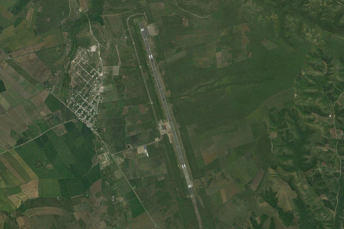
From the lake, head southwest to Huamachuco Airport which is on the northwestern edge of the town
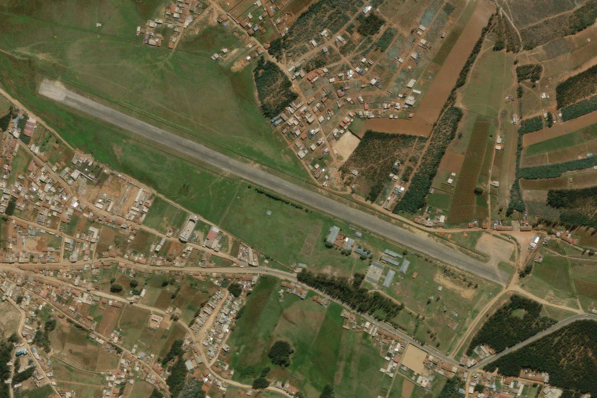
Leg 11
Flying from SPUC
Leg Distance: 89.95 Approximate time at 125kts: 43 minutes.
SPUC(SPUC) to Huamachuco(POI46)
Distance: 3.9NM Bearing: 263° 2 minutes
After takeoff, head southwest over the town and into the small valley leading south
Huamachuco(POI46) to La Arena(POI47)
Distance: 4.61NM Bearing: 200° 2 minutes
Head south along the valley past the large silver mine
La Arena(POI47) to San Simon(POI48)
Distance: 3.18NM Bearing: 171° 2 minutes
Continue south along the river to an even larger mine
San Simon(POI48) to Cachicadan(POI49)
Distance: 9.54NM Bearing: 206° 5 minutes
Just before reaching the mine, turn southwest and head over the lower hills into the valley beyond, which will lead to the small town of Cachicadan, and the long downhill ride out of the mountains
Cachicadan(POI49) to Rio Huaychaca(POI50)
Distance: 6.86NM Bearing: 159° 3 minutes
Follow the Huaychaca River valley southeast, which will eventually lead to the western side of the Andes
Rio Huaychaca(POI50) to Rio Huaychaca(POI51)
Distance: 6.62NM Bearing: 185° 3 minutes
Follow the river as it carves its way south and meets the Tablachaca River. You will be joined by the highway also heading out of the mountains
Rio Huaychaca(POI51) to Rio Tablachaca(POI52)
Distance: 1.49NM Bearing: 154° 1 minutes
Follow the river valley southeast
Rio Tablachaca(POI52) to Rio Tablachaca(POI53)
Distance: 2.72NM Bearing: 226° 1 minutes
Keep following the valley southwest
Rio Tablachaca(POI53) to Rio Tablachaca(POI54)
Distance: 8.05NM Bearing: 197° 4 minutes
Keep following the river south, where it will meet another river and road junction
Rio Tablachaca(POI54) to Rio Tablachaca(POI55)
Distance: 2.82NM Bearing: 234° 1 minutes
Continue southwest along the valley
Rio Tablachaca(POI55) to Rio Tablachaca(POI56)
Distance: 5.75NM Bearing: 180° 3 minutes
Keep following the river south
Rio Tablachaca(POI56) to Rio Santa(POI57)
Distance: 20.21NM Bearing: 251° 10 minutes
Follow the river southwest, where it will join with the Santa River and continue out of the mountains
Rio Santa(POI57) to Panamericana(POI58)
Distance: 8.92NM Bearing: 320° 4 minutes
When the river turns away to the south at the small town of Tanguche, which sits on the north side of the river, head northwest across the hills to meet up with the Panamericana highway
Panamericana(POI58) to SPX2(SPX2)
Distance: 5.28NM Bearing: 320° 3 minutes
Follow the highway through the farmland, where it will pass to the right of a small airfield
Leg 12
Flying from SPX2
Leg Distance: 51.95 Approximate time at 125kts: 25 minutes.
SPX2(SPX2) to Playa el Encanto(POI59)
Distance: 5.1NM Bearing: 235° 2 minutes
After takeoff, head southwest to the coast
Playa el Encanto(POI59) to Pacific Coast(POI60)
Distance: 8.01NM Bearing: 187° 4 minutes
Follow the coast south
Pacific Coast(POI60) to Guadalupito(POI61)
Distance: 11.77NM Bearing: 149° 6 minutes
Keep following the coast southeast
Guadalupito(POI61) to Chimbote(POI62)
Distance: 9.34NM Bearing: 177° 4 minutes
Continue southeast along the coast, passing the mountains overlooking the city of Chimbote
Chimbote(POI62) to Isla Blanca(POI63)
Distance: 5.41NM Bearing: 176° 3 minutes
Continue south past the guano bleached Isla Blanca and Chimbote Bay
Isla Blanca(POI63) to Bahia de Samanco(POI64)
Distance: 6.2NM Bearing: 140° 3 minutes
Fly southeast past the coastal mountains to Samanco Bay
Bahia de Samanco(POI64) to SPEO(SPEO)
Distance: 6.12NM Bearing: 17° 3 minutes
A left turn around the mountains will point you towards the airport
Leg 13
Flying from SPEO
Leg Distance: 59.23 Approximate time at 125kts: 28 minutes.
SPEO(SPEO) to Playa Mar Brava(POI65)
Distance: 8.56NM Bearing: 174° 4 minutes
After takeoff, head south across the bay
Playa Mar Brava(POI65) to SPX5(SPX5)
Distance: 50.67NM Bearing: 160° 24 minutes
Follow the coast southeast to the town of Huarmey. There is a grass landing area between the town and the coast
Leg 14
Flying from SPX5
Leg Distance: 41.84 Approximate time at 125kts: 20 minutes.
SPX5(SPX5) to Bahia Gramadal(POI66)
Distance: 22.98NM Bearing: 159° 11 minutes
Follow the coast southeast
Bahia Gramadal(POI66) to SPPG(SPPG)
Distance: 18.86NM Bearing: 149° 9 minutes
Continue southeast along the coast to the town of Paramonga, and the small airstrip next to the beach
Leg 15
Flying from SPPG
Leg Distance: 32.45 Approximate time at 125kts: 16 minutes.
SPPG(SPPG) to Huacho(POI67)
Distance: 28.68NM Bearing: 157° 14 minutes
Head southeast along the coast to the town of Huacho
Huacho(POI67) to SPX3(SPX3)
Distance: 3.77NM Bearing: 95° 2 minutes
The small airfield at Huacho sits on the south side of the road heading east 3 miles from the center of town
Leg 16
Flying from SPX3
Leg Distance: 64.56 Approximate time at 125kts: 31 minutes.
SPX3(SPX3) to Las Salinas de Huacho(POI68)
Distance: 14.26NM Bearing: 183° 7 minutes
Head south back to the coast
Las Salinas de Huacho(POI68) to Chancay(POI69)
Distance: 28.38NM Bearing: 135° 14 minutes
Continue southeast along the coast
Chancay(POI69) to SPJC(SPJC)
Distance: 21.92NM Bearing: 171° 11 minutes
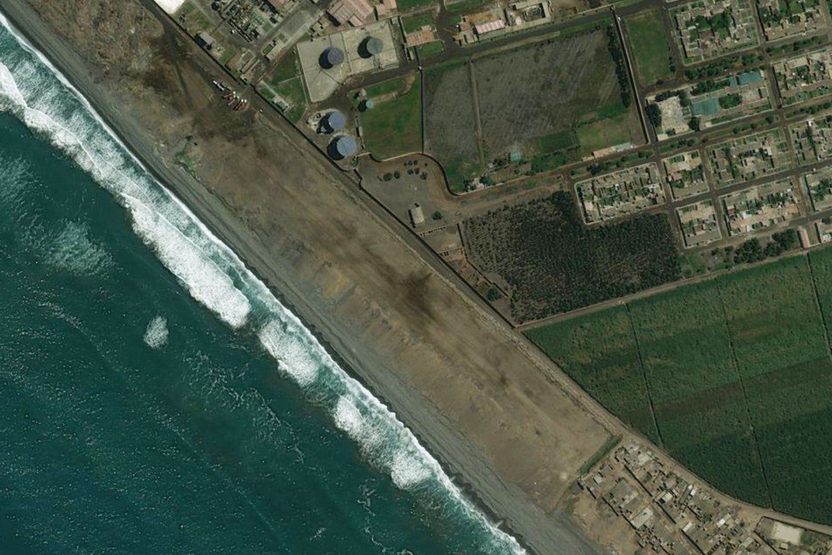
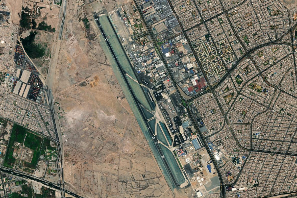
Continue south along the coast to Jorge Chavez Intl, west of Peru's capital city, Lima
Leg 17
Flying from SPJC
Leg Distance: 33.05 Approximate time at 125kts: 16 minutes.
SPJC(SPJC) to Lima(POI70)
Distance: 5.94NM Bearing: 127° 3 minutes
Head southeast for a closer look at Peru's capital city, Lima
Lima(POI70) to Cerro Marcavilca(POI71)
Distance: 7.96NM Bearing: 181° 4 minutes
Head south to the coast
Cerro Marcavilca(POI71) to Punta Hermosa(POI72)
Distance: 12.26NM Bearing: 123° 6 minutes
Continue southeast along the coast
Punta Hermosa(POI72) to SPLX(SPLX)
Distance: 6.89NM Bearing: 136° 3 minutes
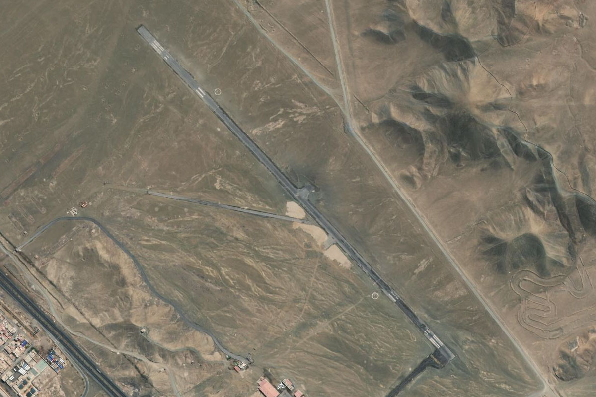
Follow the highway southeast to the airport, which lies just near where the mountains reach the coast
Leg 18
Flying from SPLX
Leg Distance: 67.4 Approximate time at 125kts: 32 minutes.
SPLX(SPLX) to Las Salinas(POI73)
Distance: 11.05NM Bearing: 172° 5 minutes
After takeoff, follow the highway south through the hills and back to the coast
Las Salinas(POI73) to Cerro Azul(POI74)
Distance: 30.95NM Bearing: 156° 15 minutes
Follow the coast southeast
Cerro Azul(POI74) to Jaguay(POI75)
Distance: 22.56NM Bearing: 146° 11 minutes
Continue southeast along the coast
Jaguay(POI75) to SPX4(SPX4)
Distance: 2.84NM Bearing: 94° 1 minutes
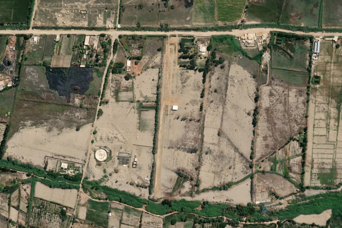
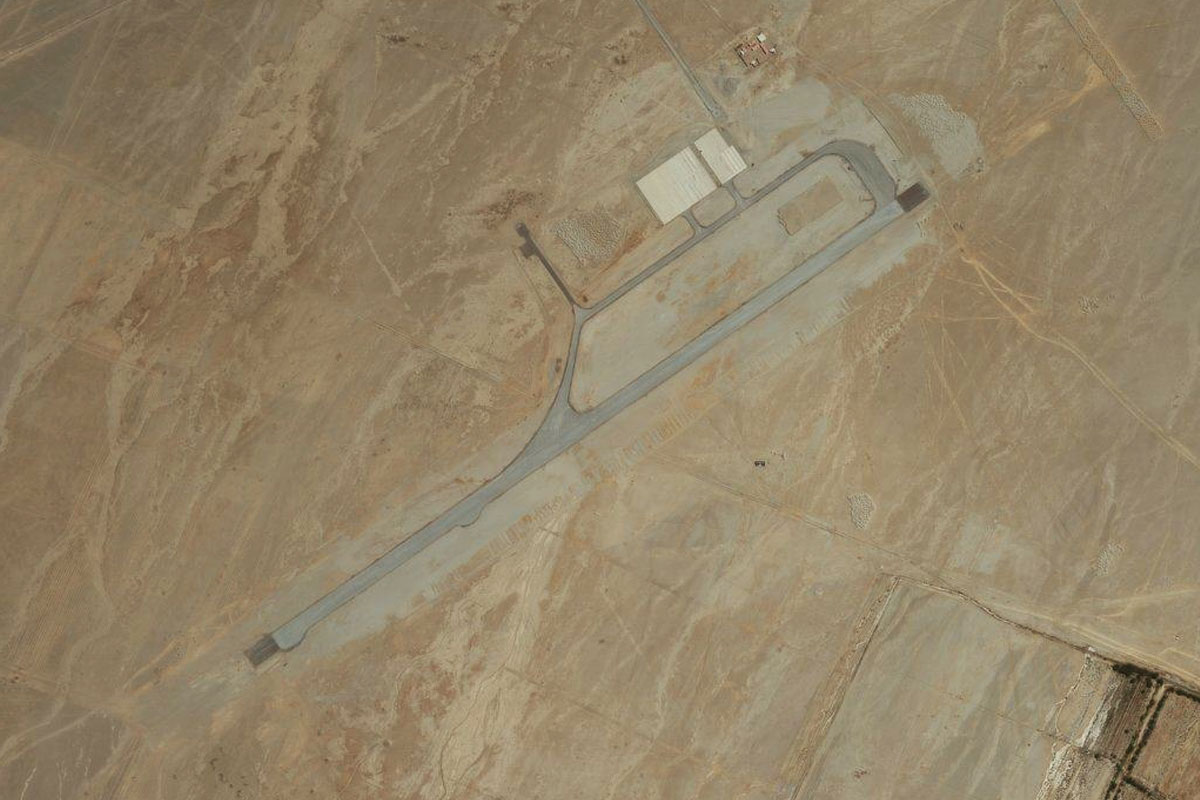
Just after the highway descends to the bottom of the sea cliffs and before you reach the green farmland north of Pueblo Nuevo, turn east and head to the gravel airstrip 2 miles inland from the coast
Leg 19
Flying from SPX4
Leg Distance: 77.51 Approximate time at 125kts: 37 minutes.
SPX4(SPX4) to Chincha Alta(POI76)
Distance: 5.93NM Bearing: 181° 3 minutes
After takeoff, head south back to the coast
Chincha Alta(POI76) to Camacho(POI77)
Distance: 9.66NM Bearing: 183° 5 minutes
Continue south along the coast
Camacho(POI77) to Pisco(POI78)
Distance: 9.36NM Bearing: 198° 4 minutes
Follow the coast to the town of Pisco
Pisco(POI78) to Peninsula de Paracas(POI79)
Distance: 11.87NM Bearing: 237° 6 minutes
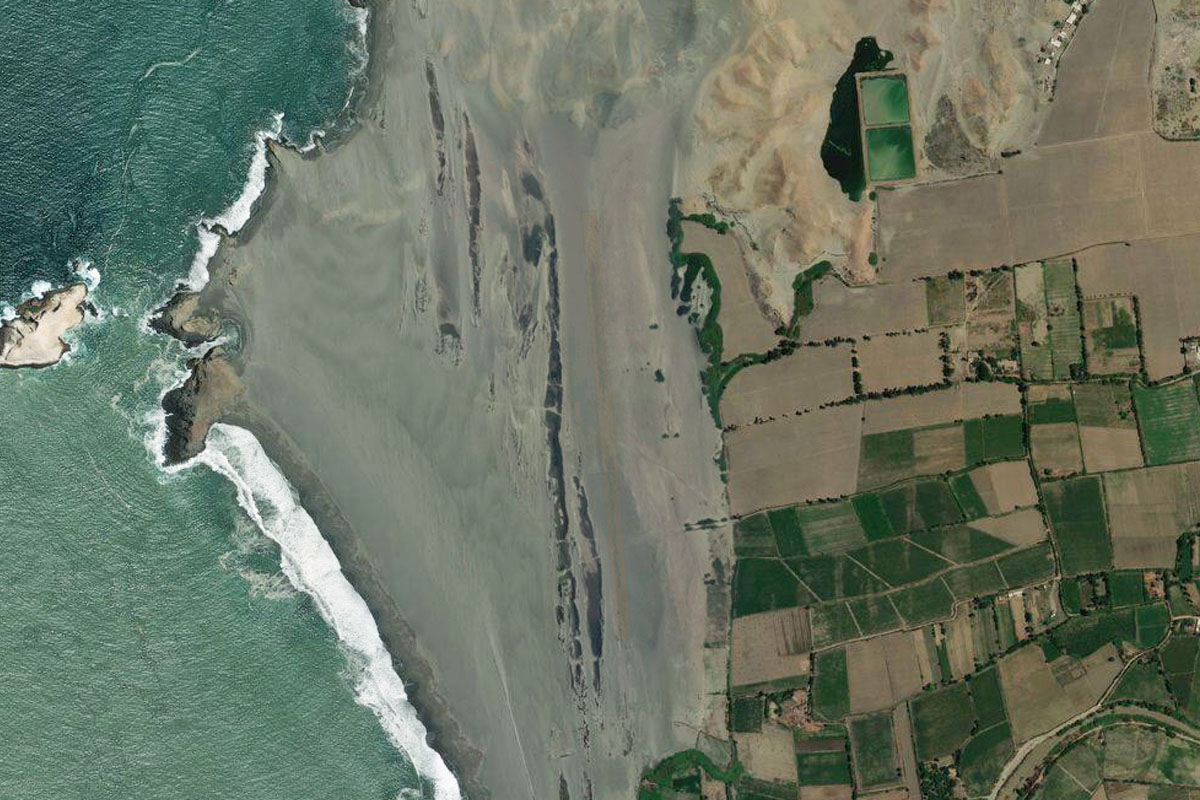
From Pisco, turn southwest and head to the national preserve of Península de Paracas. You might catch sight of the giant candelabra carved on the northern mountainside of the peninsula
Peninsula de Paracas(POI79) to Salinas de Otuma(POI80)
Distance: 12.1NM Bearing: 140° 6 minutes
From the desert peninsula, head southeast to one of the few lakes in the region, which is also home to a salt mining operation
Salinas de Otuma(POI80) to SPLH(SPLH)
Distance: 28.59NM Bearing: 98° 14 minutes
Head east to the final stop on this stage of the tour, the city of Ica. The airport is at the northern end of the city