This stage will mark the southernmost point of the world tour before heading north along Argentina’s South Atlantic coast. The mountains and glaciers of western Patagonia give way to the flat landscape of the east, as you journey through coastal national parks, marine and biosphere reserves, and an area popular for viewing sea life including whales, orcas, seals and penguins, on the way to the coastal city of Bahía Blanca
Total Legs: 29 Total Distance: 1424 Total Time(125kts): 11 hours 23 minutes
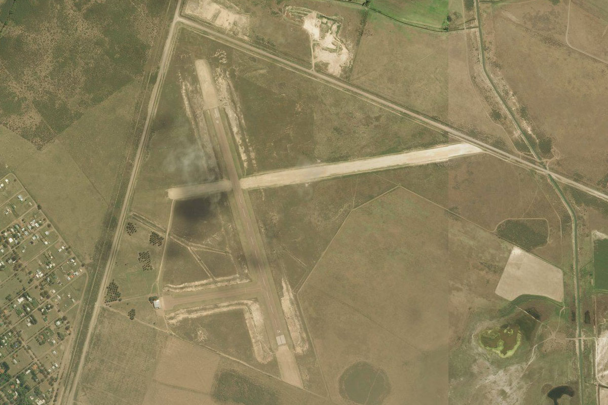
Leg 1
Flying from SAWH
Leg Distance: 23.81 Approximate time at 125kts: 11 minutes.
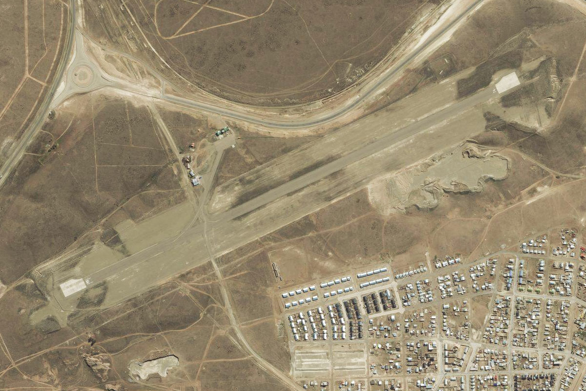
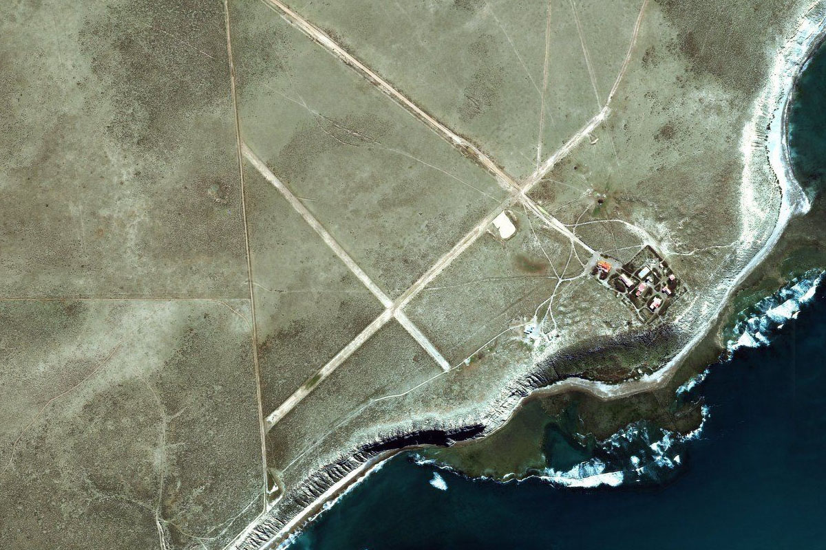
SAWH(SAWH) to Canal Beagle(POI1)
Distance: 16.07NM Bearing: 88° 8 minutes
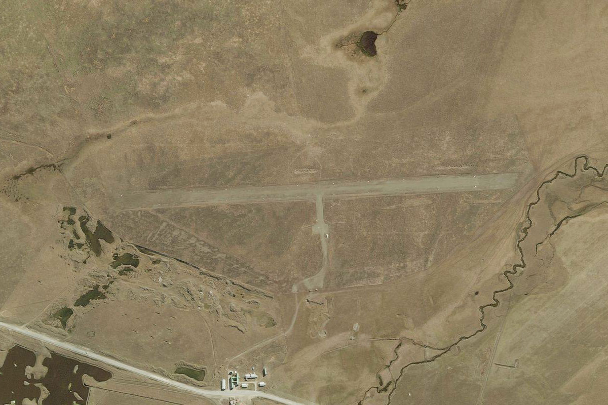
After takeoff, head east along the Beagle Channel for the short flight to Zañartu Airport
Canal Beagle(POI1) to SCGZ(SCGZ)
Distance: 7.74NM Bearing: 99° 4 minutes
The airport is on the south (Chilean) side of the channel, just west of the town of Puerto Williams
Leg 2
Flying from SCGZ
Leg Distance: 44.28 Approximate time at 125kts: 21 minutes.
SCGZ(SCGZ) to Fogones Almanza(POI2)
Distance: 6.21NM Bearing: 36° 3 minutes
After takeoff, head northeast across the channel back into Argentina
Fogones Almanza(POI2) to Lago Fagnano(POI3)
Distance: 17.25NM Bearing: 358° 8 minutes
Fly north over the mountains to Lake Fagnano
Lago Fagnano(POI3) to Cerro Shelnosh(POI4)
Distance: 14.93NM Bearing: 308° 7 minutes
Fly northwest to the group of hills in between the two lakes
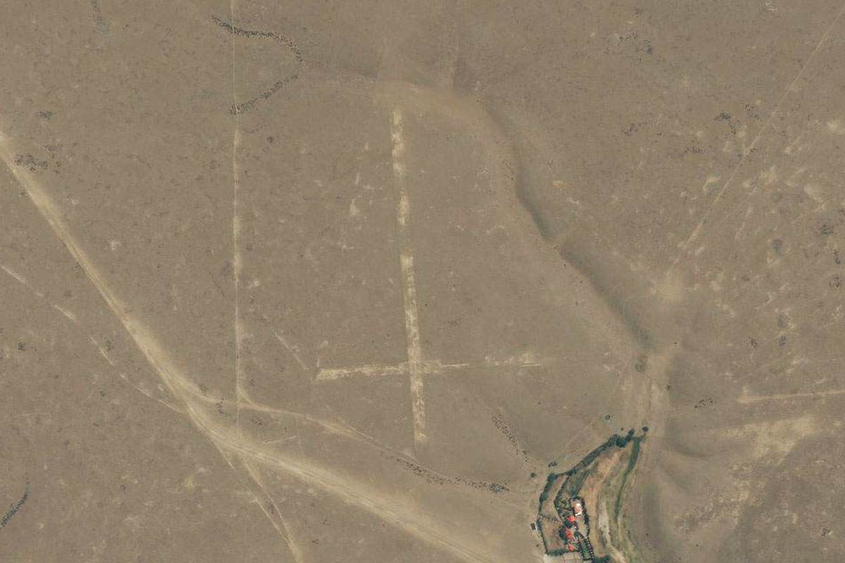
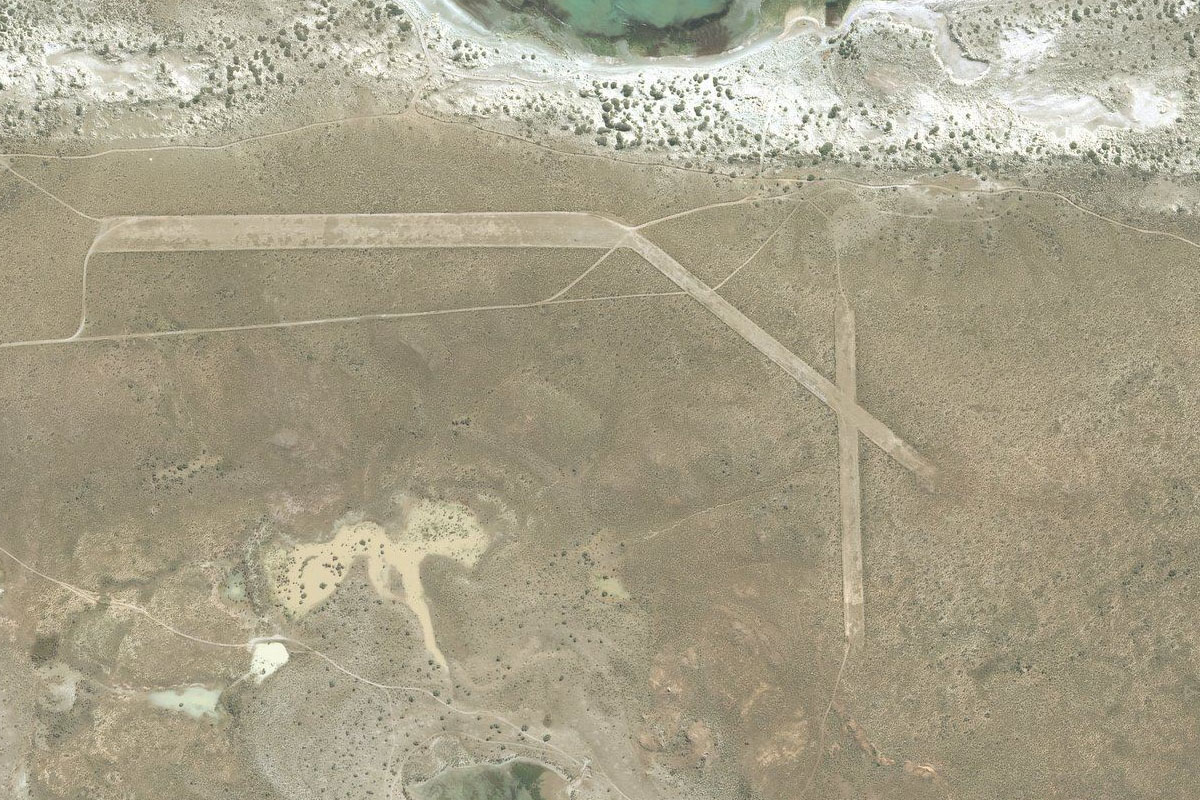
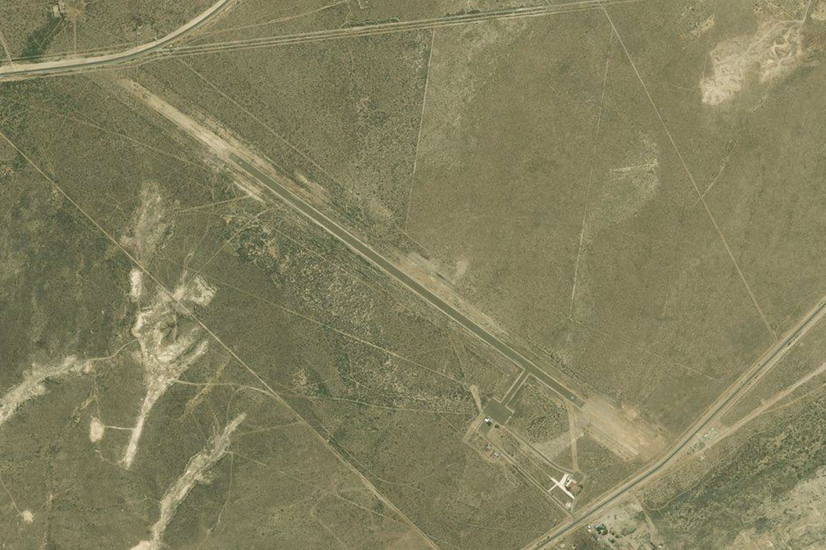
Cerro Shelnosh(POI4) to Z00T(Z00T)
Distance: 5.89NM Bearing: 288° 3 minutes
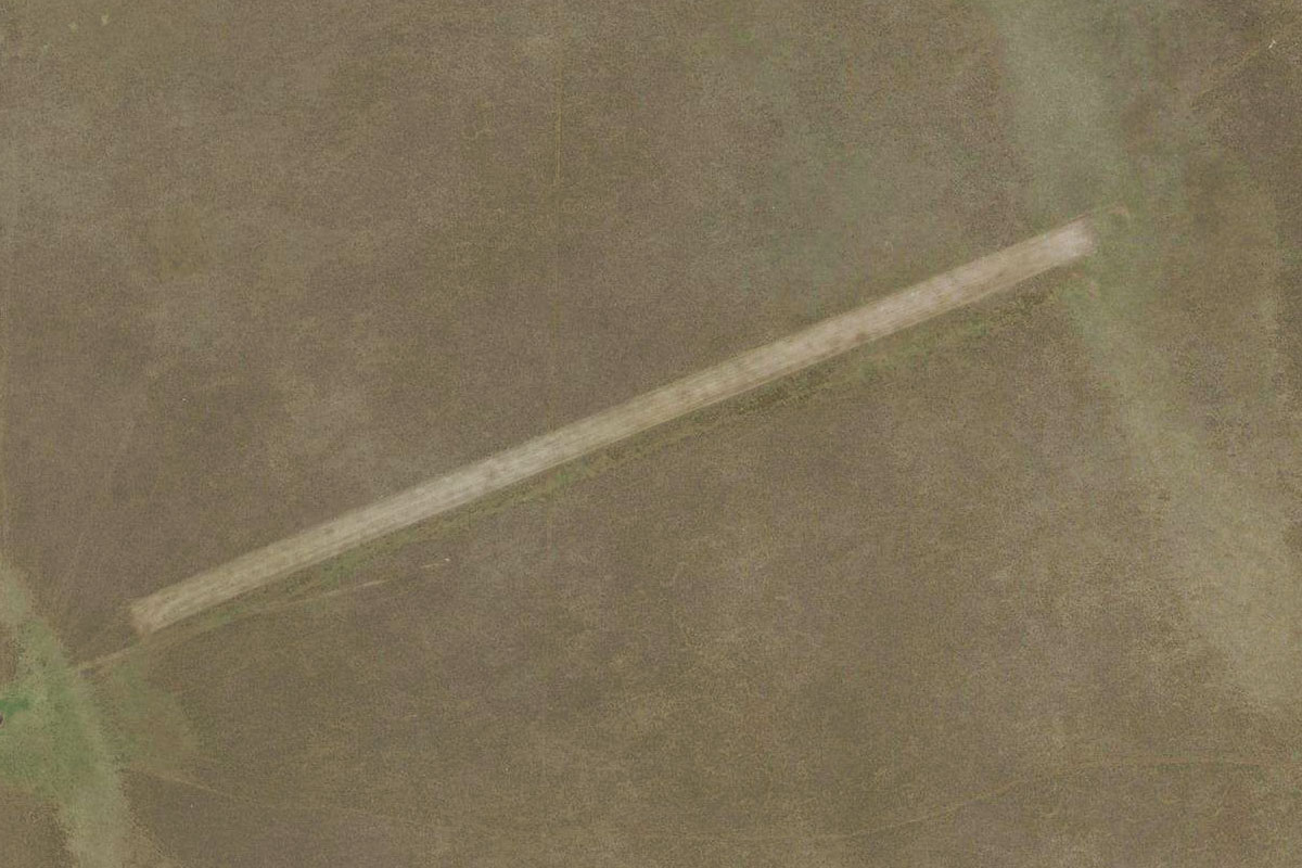
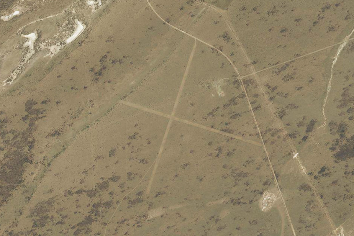
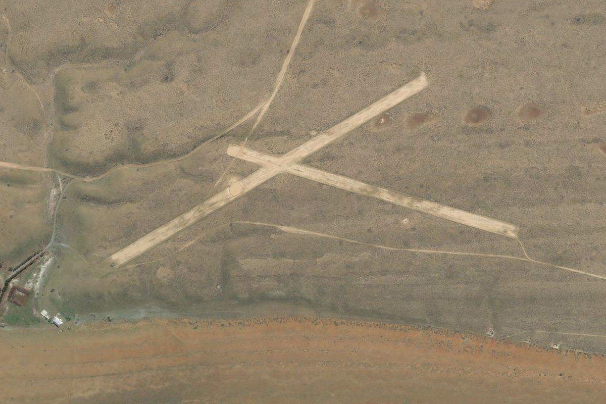
Los Cerros airstrip is a mile northwest of the lake
Leg 3
Flying from Z00T
Leg Distance: 34.94 Approximate time at 125kts: 17 minutes.
Z00T(Z00T) to Rio Grande(POI5)
Distance: 29.54NM Bearing: 359° 14 minutes
Head north all the way to the Atlantic Coast, and the city of Rio Grande
Rio Grande(POI5) to SAWE(SAWE)
Distance: 5.4NM Bearing: 324° 3 minutes
The airport is on the western side of the city
Leg 4
Flying from SAWE
Leg Distance: 45.57 Approximate time at 125kts: 22 minutes.
SAWE(SAWE) to RN3(POI6)
Distance: 19.8NM Bearing: 315° 10 minutes
Follow the coast northwest along with National Highway 3
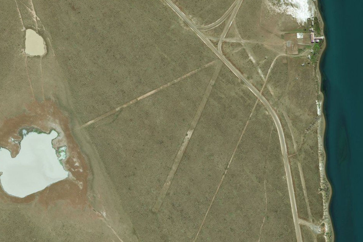
RN3(POI6) to Bahia San Sebastian(POI7)
Distance: 18.34NM Bearing: 300° 9 minutes
Follow the highway northwest as it cuts across land to San Sebastian Bay
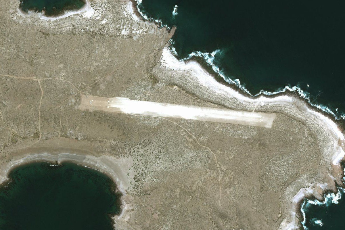
Bahia San Sebastian(POI7) to SCSS(SCSS)
Distance: 7.43NM Bearing: 254° 4 minutes
When the highway meets the bay, head west to the small airport which sits on the north side of the road
Leg 5
Flying from SCSS
Leg Distance: 45.9 Approximate time at 125kts: 22 minutes.
SCSS(SCSS) to Rio Side(POI8)
Distance: 32.74NM Bearing: 302° 16 minutes
Fly northwest over the flat land until you reach a shallow river valley
Rio Side(POI8) to Cerro Sombrero(POI9)
Distance: 10.08NM Bearing: 355° 5 minutes
Follow the river north to the small town of Cerro Sombrero
Cerro Sombrero(POI9) to SCSB(SCSB)
Distance: 3.08NM Bearing: 314° 1 minutes
The dirt airstrip is just northwest of the town
Leg 6
Flying from SCSB
Leg Distance: 38.35 Approximate time at 125kts: 18 minutes.
SCSB(SCSB) to Estrecho de Magallanes(POI10)
Distance: 17.03NM Bearing: 338° 8 minutes
Fly to the north end of the peninsula at the Strait of Magellan
Estrecho de Magallanes(POI10) to Estrecho de Magallanes(POI11)
Distance: 12.76NM Bearing: 357° 6 minutes
Cross the strait north
Estrecho de Magallanes(POI11) to SAKY(SAKY)
Distance: 8.56NM Bearing: 315° 4 minutes
Once you cross the strait, head northwest to the small airfield on the right side of the road
Leg 7
Flying from SAKY
Leg Distance: 30.28 Approximate time at 125kts: 15 minutes.
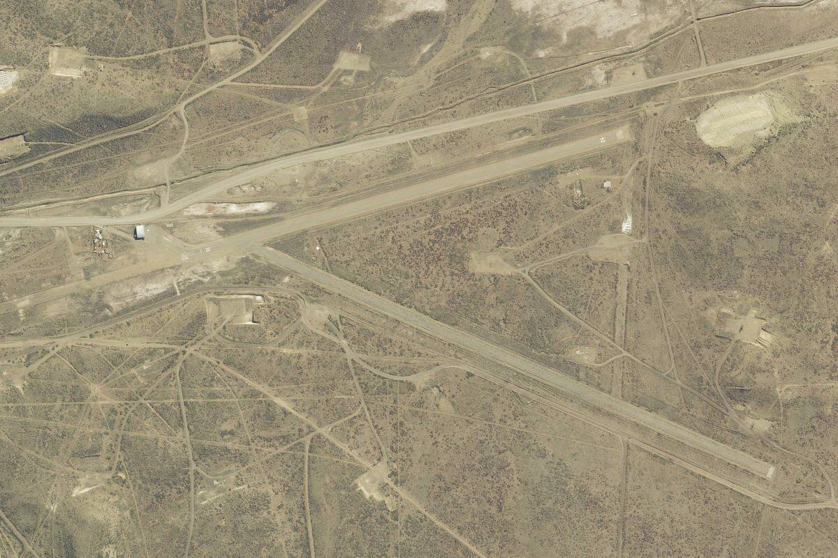
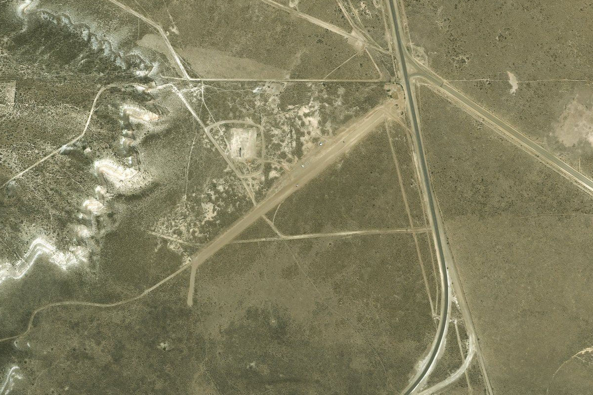
SAKY(SAKY) to RN3(POI12)
Distance: 12.45NM Bearing: 346° 6 minutes
After takeoff, follow the highway north
RN3(POI12) to SARJ(SARJ)
Distance: 17.83NM Bearing: 22° 9 minutes
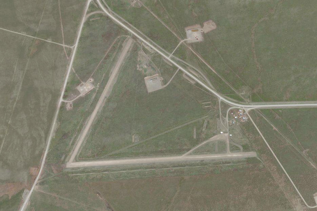
Continue along the highway northeast to the town of Rio Gallegos. The airport is on the left side of the highway just before you reach the town
Leg 8
Flying from SARJ
Leg Distance: 33.82 Approximate time at 125kts: 16 minutes.
SARJ(SARJ) to Rio Gallegos(POI13)
Distance: 5.19NM Bearing: 351° 2 minutes
Head north over the town to the Gallegos River
Rio Gallegos(POI13) to RN3(POI14)
Distance: 17.73NM Bearing: 314° 9 minutes
Head northwest over the river and between the large dry lakes to the north before meeting back up with Highway 3 heading north
RN3(POI14) to SAXW(SAXW)
Distance: 10.9NM Bearing: 359° 5 minutes
Follow the highway north to the small airfield on the south side of the Coyle River, a mile east of the highway
Leg 9
Flying from SAXW
Leg Distance: 76.72 Approximate time at 125kts: 37 minutes.
SAXW(SAXW) to Rio Coyle(POI15)
Distance: 19.67NM Bearing: 32° 9 minutes
After takeoff, fly northeast to the mouth of the Coyle River
Rio Coyle(POI15) to Parque Nacional Monte Leon(POI16)
Distance: 35.15NM Bearing: 5° 17 minutes
Follow the coast north to the small peninsula which lies in the Monte León National Park
Parque Nacional Monte Leon(POI16) to RN3(POI17)
Distance: 12.5NM Bearing: 350° 6 minutes
Head north over the hills to meet the highway
RN3(POI17) to SA33(SA33)
Distance: 9.4NM Bearing: 338° 5 minutes
Follow the highway north over the Santa Cruz River. The airport is on the western side of the bridge
Leg 10
Flying from SA33
Leg Distance: 65.96 Approximate time at 125kts: 32 minutes.
SA33(SA33) to Rio Santa Cruz(POI18)
Distance: 15.12NM Bearing: 71° 7 minutes
After takeoff, head east along the Santa Cruz River
Rio Santa Cruz(POI18) to RN3(POI19)
Distance: 10.41NM Bearing: 1° 5 minutes
At the river junction, head north to meet the highway
RN3(POI19) to Bahia San Julian(POI20)
Distance: 35.82NM Bearing: 40° 17 minutes
Follow the highway northeast
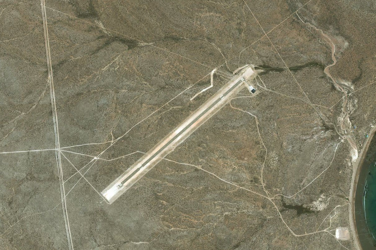
Bahia San Julian(POI20) to SAWJ(SAWJ)
Distance: 4.61NM Bearing: 6° 2 minutes
Keep following the highway north towards the town of Puerto San Julian, the airport will be on the left side of the road
Leg 11
Flying from SAWJ
Leg Distance: 81.05 Approximate time at 125kts: 39 minutes.
SAWJ(SAWJ) to Cerro Redondo(POI21)
Distance: 24.41NM Bearing: 23° 12 minutes
Fly northeast to the coast
Cerro Redondo(POI21) to Bahia Laura(POI22)
Distance: 53.28NM Bearing: 42° 26 minutes
Follow the coast northeast to the curved Natural Reserve of Laura Bay
Bahia Laura(POI22) to SAPK(SAPK)
Distance: 3.36NM Bearing: 34° 2 minutes
The dirt airfield is on the north side of the bay
Leg 12
Flying from SAPK
Leg Distance: 44.66 Approximate time at 125kts: 21 minutes.
SAPK(SAPK) to Bahia de los Nodales(POI23)
Distance: 30.31NM Bearing: 39° 15 minutes
Continue northeast along the coast to Nodales Bay. This area of the coast is also a marine reserve with a large variety of wildlife
Bahia de los Nodales(POI23) to SAWD(SAWD)
Distance: 14.35NM Bearing: 351° 7 minutes
Head north to Puerto Deseado, with the airport on the northern edge of the town
Leg 13
Flying from SAWD
Leg Distance: 51.29 Approximate time at 125kts: 25 minutes.
SAWD(SAWD) to RN281(POI24)
Distance: 8.52NM Bearing: 310° 4 minutes
After takeoff head northwest to the highway
RN281(POI24) to RN281(POI25)
Distance: 30.92NM Bearing: 290° 15 minutes
Follow the 30 mile straight of the highway west
RN281(POI25) to SA61(SA61)
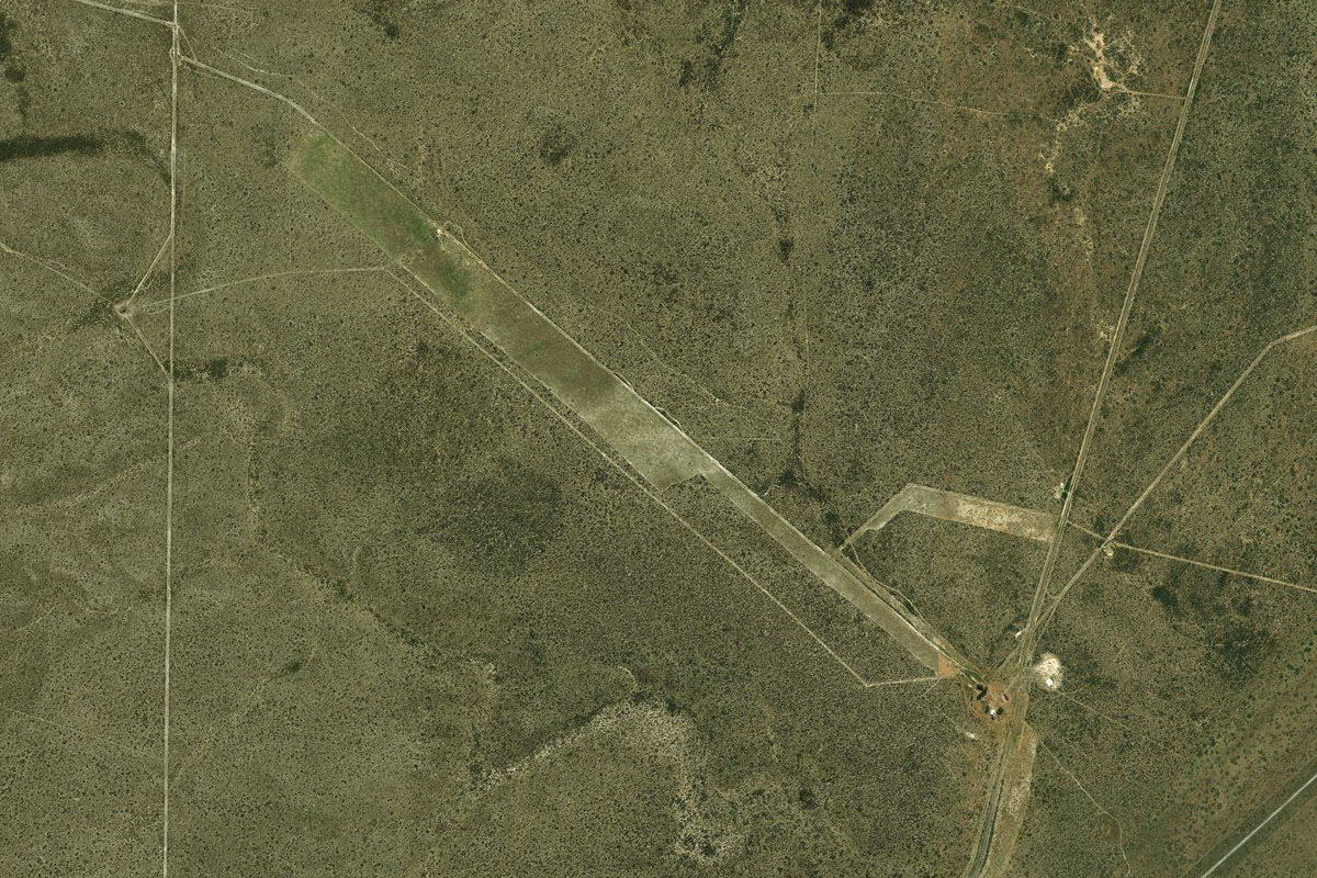
Distance: 11.85NM Bearing: 2° 6 minutes
At the turn in the highway there is a junction with a smaller road – follow it north to the small airstrip north of the dry lake
Leg 14
Flying from SA61
Leg Distance: 58.89 Approximate time at 125kts: 28 minutes.
SA61(SA61) to Bahia Mazarredo(POI26)
Distance: 10.54NM Bearing: 352° 5 minutes
Fly north to the coast
Bahia Mazarredo(POI26) to Bahia Langara(POI27)
Distance: 29.15NM Bearing: 312° 14 minutes
Follow the coast northwest. Much of this stretch of coast is part of the Barco Hundido Provincial Reserve
Bahia Langara(POI27) to RN3(POI28)
Distance: 14.96NM Bearing: 305° 7 minutes
Continue northwest along the coast.
RN3(POI28) to CDS(CDS)
Distance: 4.24NM Bearing: 244° 2 minutes
A few miles south of the city of Caleta Olivia, turn inland and follow the road to the airport
Leg 15
Flying from CDS
Leg Distance: 47.04 Approximate time at 125kts: 23 minutes.
CDS(CDS) to Bahia del Fondo(POI29)
Distance: 29.04NM Bearing: 349° 14 minutes
After takeoff, head north past the city and continue north along the coast
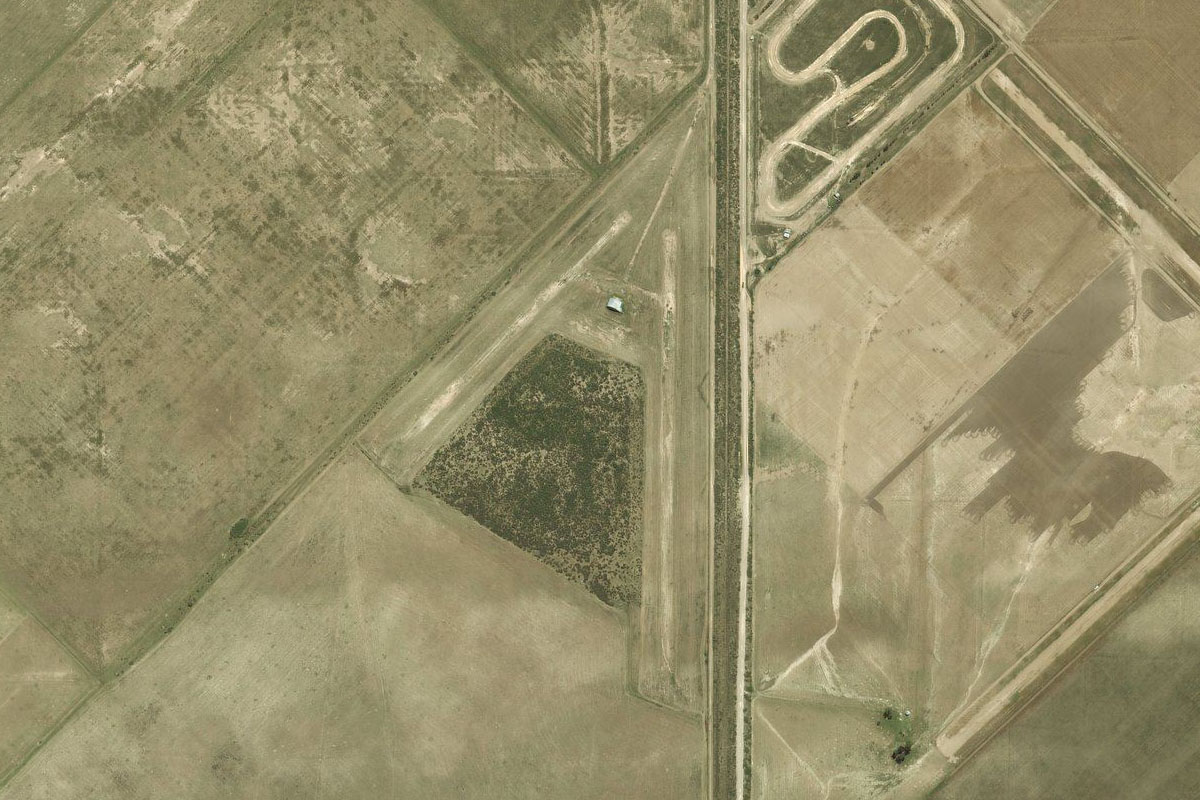
Bahia del Fondo(POI29) to Comodoro Rivadavia(POI30)
Distance: 13.42NM Bearing: 23° 6 minutes
Follow the coast northeast to the important regional city of Comodoro Rivadavia. You will also pass the General San Martin motor racing circuit along the way
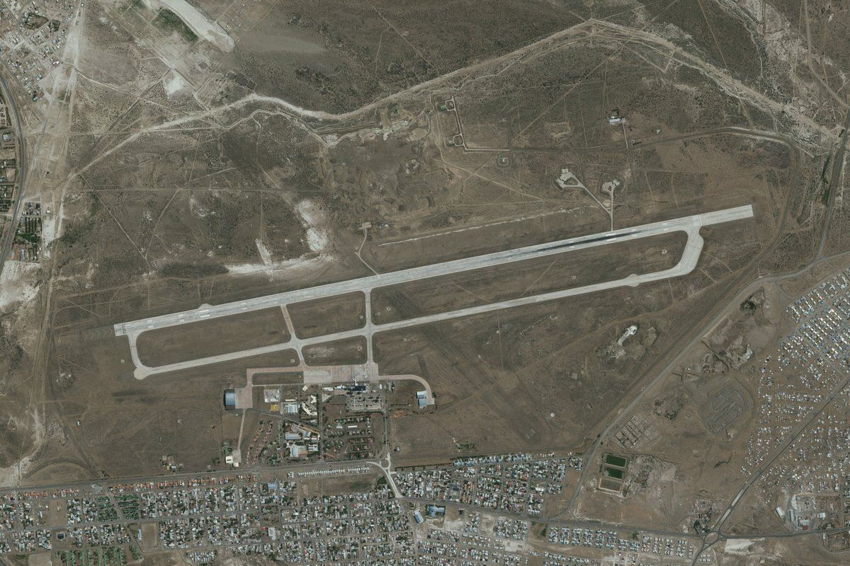
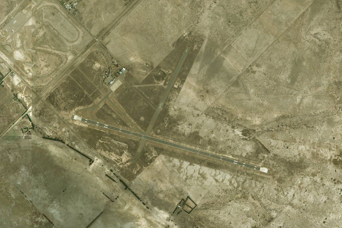
Comodoro Rivadavia(POI30) to SAVC(SAVC)
Distance: 4.58NM Bearing: 356° 2 minutes
The city's airport lies a few miles to the north
Leg 16
Flying from SAVC
Leg Distance: 58.53 Approximate time at 125kts: 28 minutes.
SAVC(SAVC) to Cerro Cono(POI31)
Distance: 37.95NM Bearing: 30° 18 minutes
Follow the coast northeast
Cerro Cono(POI31) to Caleta Malaspina(POI32)
Distance: 16.8NM Bearing: 61° 8 minutes
Continue northeast along the coast
Caleta Malaspina(POI32) to SA1U(SA1U)
Distance: 3.78NM Bearing: 84° 2 minutes
Head east to the dirt airstrip on the Gravina Peninsula
Leg 17
Flying from SA1U
Leg Distance: 60.23 Approximate time at 125kts: 29 minutes.
SA1U(SA1U) to Punta Tafor(POI33)
Distance: 10.63NM Bearing: 52° 5 minutes
Fly northeast across Bustamante Bay, part of another large marine reserve
Punta Tafor(POI33) to Bahia Bustamante(POI34)
Distance: 9.36NM Bearing: 66° 4 minutes
Continue northeast across the bay to the small river mouth
Bahia Bustamante(POI34) to Camarones(POI35)
Distance: 19.68NM Bearing: 48° 9 minutes
Fly northeast over the peninsula to the small coastal town of Camerones
Camarones(POI35) to Punta Fabian(POI36)
Distance: 10.68NM Bearing: 29° 5 minutes
Continue northeast along the coast
Punta Fabian(POI36) to SAKG(SAKG)
Distance: 9.88NM Bearing: 60° 5 minutes
Keep flying northeast along the coast to the dirt airfield at Punta Roja
Leg 18
Flying from SAKG
Leg Distance: 83.6 Approximate time at 125kts: 40 minutes.
SAKG(SAKG) to Cabo Raso(POI37)
Distance: 14.07NM Bearing: 21° 7 minutes
After takeoff, head northeast along the coast
Cabo Raso(POI37) to Punta Tombo(POI38)
Distance: 19.15NM Bearing: 1° 9 minutes
Head north to the small peninsula of Punta Tombo, a nature reserve home to the largest colony of Magellanic Penguins in Argentina
Punta Tombo(POI38) to Bahia Janssen(POI39)
Distance: 24.75NM Bearing: 347° 12 minutes
Continue north along the coast
Bahia Janssen(POI39) to SAVT(SAVT)
Distance: 25.63NM Bearing: 3° 12 minutes
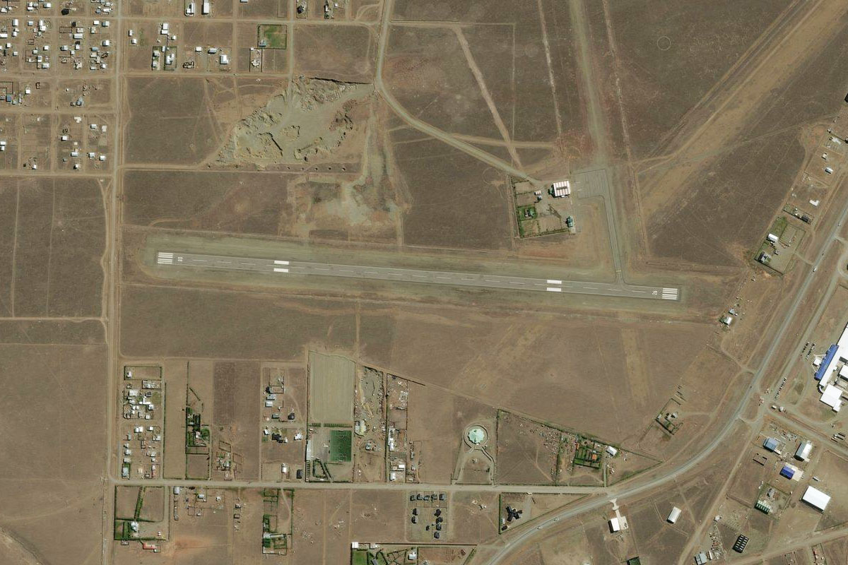
Head north to the town of Trelew which sits about 10 miles from the coast. The airport is north of the town
Leg 19
Flying from SAVT
Leg Distance: 44.97 Approximate time at 125kts: 22 minutes.
SAVT(SAVT) to Bahia Engano(POI40)
Distance: 15.92NM Bearing: 89° 8 minutes
Head east to the coast of Engano Bay
Bahia Engano(POI40) to Punta Ninfas(POI41)
Distance: 26.95NM Bearing: 62° 13 minutes
Fly northeast along the coast
Punta Ninfas(POI41) to SA1N(SA1N)
Distance: 2.1NM Bearing: 6° 1 minutes
Head north to the airfield which sits in the middle of the peninsula
Leg 20
Flying from SA1N
Leg Distance: 34.14 Approximate time at 125kts: 16 minutes.
SA1N(SA1N) to Morro Nuevo(POI42)
Distance: 11.48NM Bearing: 58° 6 minutes
Head northeast across the gulf to the Valdes Peninsula
Morro Nuevo(POI42) to Pico Lobo(POI43)
Distance: 17.86NM Bearing: 77° 9 minutes
Head east along the coast of the peninsula, which is a UNESCO world heritage site. The large salt lake to the north is one of the lowest points in Argentina at 40m below sea level
Pico Lobo(POI43) to SAPO(SAPO)
Distance: 4.8NM Bearing: 55° 2 minutes
Continue northeast along the coast to the dirt airfield at Punta Delgada
Leg 21
Flying from SAPO
Leg Distance: 18.95 Approximate time at 125kts: 9 minutes.
SAPO(SAPO) to Valdes Peninsula Natural Reserve(POI44)
Distance: 9.67NM Bearing: 15° 5 minutes
Fly north along the coast. This is also an area where killer whales beach themselves to catch seals
Valdes Peninsula Natural Reserve(POI44) to SAPM(SAPM)
Distance: 9.28NM Bearing: 352° 4 minutes
Continue north to the airfield, which sits near a road intersection just west of the narrow band of land
Leg 22
Flying from SAPM
Leg Distance: 30.53 Approximate time at 125kts: 15 minutes.
SAPM(SAPM) to El Salitral(POI45)
Distance: 14.31NM Bearing: 271° 7 minutes
Head west after takeoff, to the southern edge of the large salt lake
El Salitral(POI45) to Puerto Piramides(POI46)
Distance: 12.66NM Bearing: 241° 6 minutes
Turn southwest and head for the only town on the peninsula, Puerto Piramides
Puerto Piramides(POI46) to SAPT(SAPT)
Distance: 3.56NM Bearing: 273° 2 minutes
The dirt airstrip is just north of the town near the road intersection
Leg 23
Flying from SAPT
Leg Distance: 58.84 Approximate time at 125kts: 28 minutes.
SAPT(SAPT) to Golfo San Jose(POI47)
Distance: 28.95NM Bearing: 314° 14 minutes
Head northwest over San Jose Gulf to the coast of the larger San Matias Gulf
Golfo San Jose(POI47) to Golfo San Matias(POI48)
Distance: 18.14NM Bearing: 306° 9 minutes
Continue along the coast northwest
Golfo San Matias(POI48) to SATT(SATT)
Distance: 11.75NM Bearing: 357° 6 minutes
Follow the coast north to the airport at Dorada Bay
Leg 24
Flying from SATT
Leg Distance: 67.1 Approximate time at 125kts: 32 minutes.
SATT(SATT) to Islote Lobos National Park(POI49)
Distance: 24.15NM Bearing: 3° 12 minutes
Continue north along the coast to Argentina's newest national park, Islote Lobos
Islote Lobos National Park(POI49) to Golfo San Matias(POI50)
Distance: 25.06NM Bearing: 346° 12 minutes
Follow the coast of the bay north
Golfo San Matias(POI50) to SAVN(SAVN)
Distance: 17.89NM Bearing: 20° 9 minutes
Continue along the coast past the town of Las Grutas, to the airport just north of the town
Leg 25
Flying from SAVN
Leg Distance: 41.31 Approximate time at 125kts: 20 minutes.
SAVN(SAVN) to Bahia Ballenas(POI51)
Distance: 14.15NM Bearing: 108° 7 minutes
After takeoff, head east over the bay and continue along the coast
Bahia Ballenas(POI51) to SA92(SA92)
Distance: 27.16NM Bearing: 111° 13 minutes
Keep following the coast east to the coastal inlet at Caleta de Los Loros. The large landing area is just west of the inlet
Leg 26
Flying from SA92
Leg Distance: 56.03 Approximate time at 125kts: 27 minutes.
SA92(SA92) to Laguna Buey Muerto(POI52)
Distance: 42.57NM Bearing: 93° 20 minutes
Head east over the area of sand dunes before eventually meeting up with Provincial Highway 51
Laguna Buey Muerto(POI52) to SAVV(SAVV)
Distance: 13.46NM Bearing: 56° 6 minutes
Follow the highway northeast to the airport just south of the town of Viedma
Leg 27
Flying from SAVV
Leg Distance: 45.11 Approximate time at 125kts: 22 minutes.
SAVV(SAVV) to Viedma(POI53)
Distance: 4.67NM Bearing: 13° 2 minutes
Head to the north of the town to meet with National Highway 3
Viedma(POI53) to RN3(POI54)
Distance: 6.58NM Bearing: 49° 3 minutes
Follow the highway northeast away from the town
RN3(POI54) to RN3(POI55)
Distance: 24.79NM Bearing: 14° 12 minutes
Continue north along the highway
RN3(POI55) to SAFD(SAFD)
Distance: 9.07NM Bearing: 49° 4 minutes
Follow the highway northeast where it will point you to the small airport south of the town of Stroeder
Leg 28
Flying from SAFD
Leg Distance: 45.72 Approximate time at 125kts: 22 minutes.
SAFD(SAFD) to Villalonga(POI56)
Distance: 31.34NM Bearing: 3° 15 minutes
After takeoff, follow the disused railway line north
Villalonga(POI56) to Pedro Luro(POI57)
Distance: 10.98NM Bearing: 347° 5 minutes
The line will turn northwest to the town of Pedro Luro
Pedro Luro(POI57) to SANK(SANK)
Distance: 3.4NM Bearing: 8° 2 minutes
The airport is a couple of miles north of the town
Leg 29
Flying from SANK
Leg Distance: 56.26 Approximate time at 125kts: 27 minutes.
SANK(SANK) to Bahia Blanca(POI58)
Distance: 39.07NM Bearing: 17° 19 minutes
Follow the highway (or railway) north to the tidal flats of Bahia Blanca
Bahia Blanca(POI58) to Bahia Blanca(POI59)
Distance: 11.93NM Bearing: 62° 6 minutes
Fly northeast across the bay to the city of Bahia Blanca, known as the gateway to Patagonia
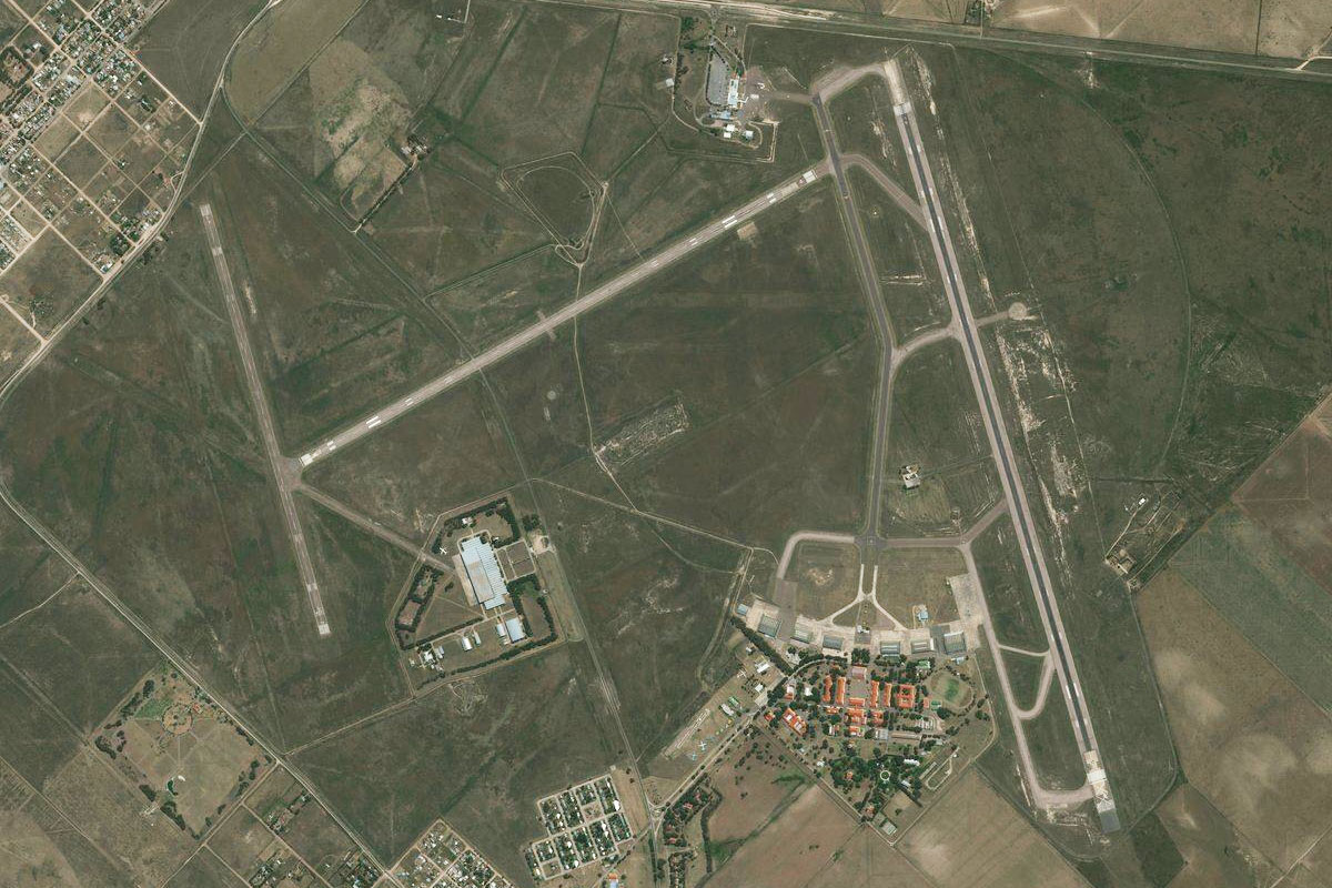
Bahia Blanca(POI59) to SAZB(SAZB)
Distance: 5.26NM Bearing: 102° 3 minutes
The airport is just east of the city, and ends this stage of the journey