In a mostly flat Stage 28, you’ll explore the interior of Argentina. Starting with a journey across the Pampas, the fertile lowlands that cover more than a million square kilometers of the southern part of South America, you’ll head to the country’s second largest city, Córdoba. You’ll then journey back to the east and a tour of one of the world’s great cities – Buenos Aires
Total Legs: 22 Total Distance: 1045 Total Time(125kts): 8 hours 21 minutes
Leg 1
Flying from SAZB
Leg Distance: 40.16 Approximate time at 125kts: 19 minutes.
SAZB(SAZB) to RN33(POI1)
Distance: 12.6NM Bearing: 333° 6 minutes
Fly northwest to meet the railway line which will soon run alongside the highway heading north
RN33(POI1) to Tornquist(POI2)
Distance: 24.93NM Bearing: 6° 12 minutes
Follow the highway north. After passing a large wind farm, you should soon see the town of Tornquist a couple of miles east of the highway ahead
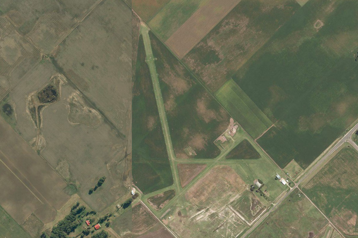
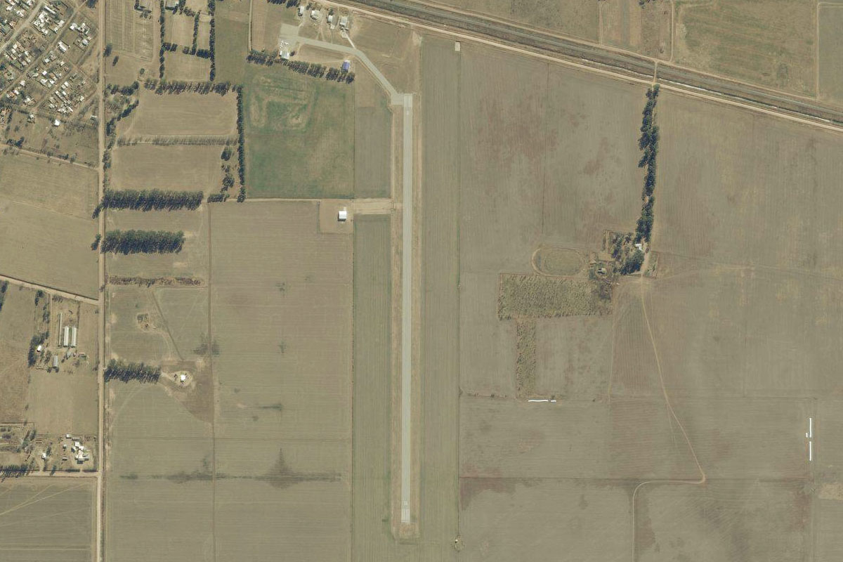
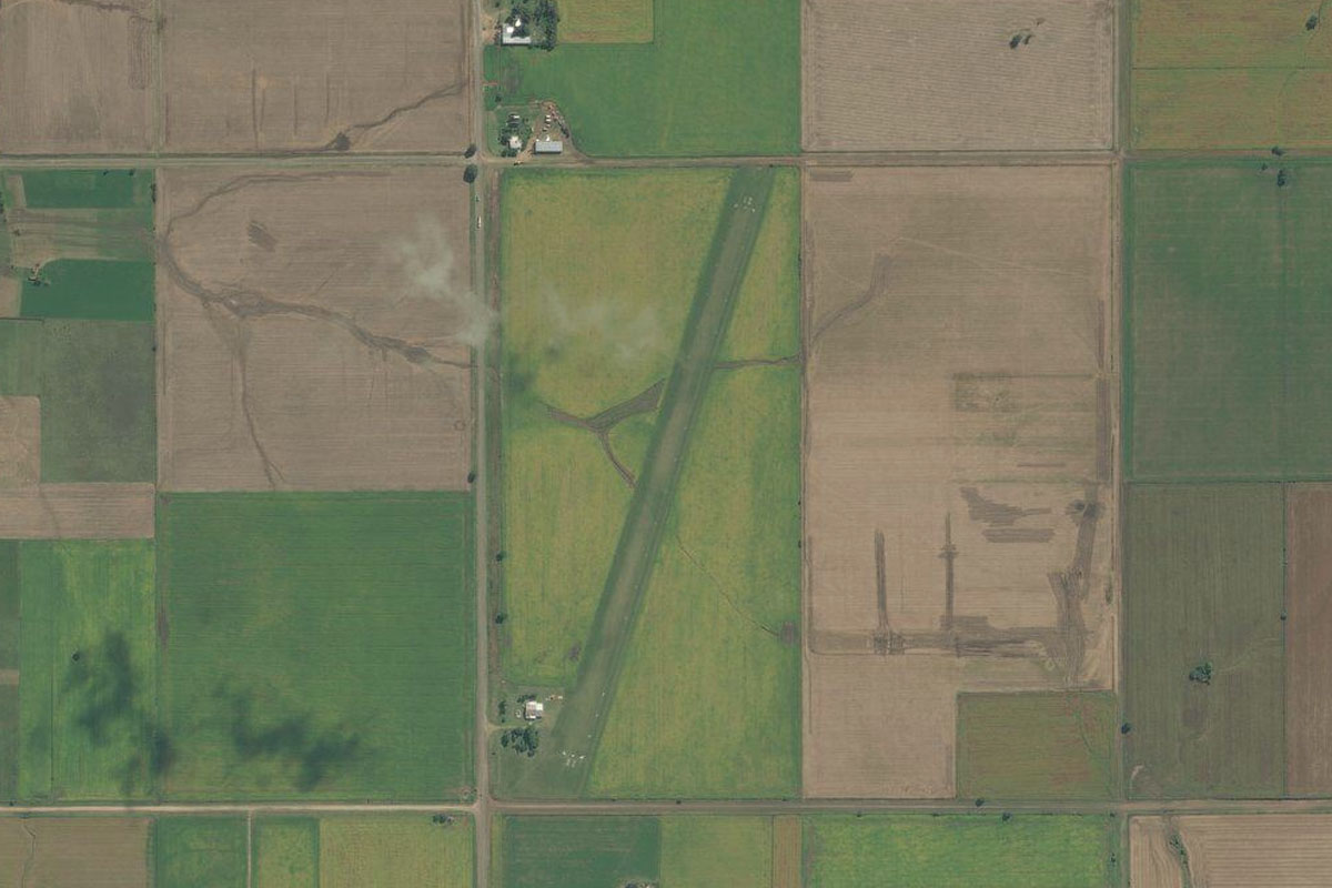
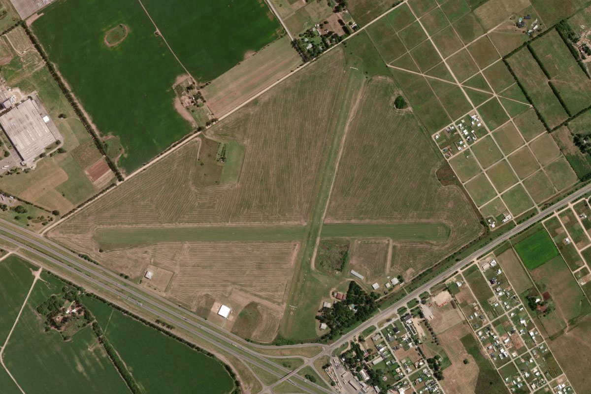
Tornquist(POI2) to SATZ(SATZ)
Distance: 2.63NM Bearing: 33° 1 minutes
The airport is half way between the town and the highway
Leg 2
Flying from SATZ
Leg Distance: 43.2 Approximate time at 125kts: 21 minutes.
SATZ(SATZ) to Sierra de la Ventana(POI3)
Distance: 12.33NM Bearing: 44° 6 minutes
After takeoff, head northeast to Sierra de la Ventana, one of only two mountain ranges in the vast plains known as the Pampas
Sierra de la Ventana(POI3) to Sierra de la Ventana(POI4)
Distance: 17.2NM Bearing: 336° 8 minutes
Fly along the mountain range's central valley as it gradually curves around to the northwest
Sierra de la Ventana(POI4) to Pigue(POI5)
Distance: 8.83NM Bearing: 312° 4 minutes
The mountains will point you towards the town of Pigüé
Pigue(POI5) to SAPB(SAPB)
Distance: 4.84NM Bearing: 338° 2 minutes
Follow the highway northwest from the town to the small airfield a few miles north
Leg 3
Flying from SAPB
Leg Distance: 33.25 Approximate time at 125kts: 16 minutes.
SAPB(SAPB) to Guamini(POI6)
Distance: 30.64NM Bearing: 8° 15 minutes
Follow the highway north to the town of Guamini, on the shore of Laguna del Monte
Guamini(POI6) to SAKL(SAKL)
Distance: 2.61NM Bearing: 342° 1 minutes
Just north of the town is a small island with a grass airstrip
Leg 4
Flying from SAKL
Leg Distance: 44.36 Approximate time at 125kts: 21 minutes.
SAKL(SAKL) to Laguna Alsina(POI7)
Distance: 29.36NM Bearing: 73° 14 minutes
Fly northeast along the length of the lagoon
Laguna Alsina(POI7) to RP65(POI8)
Distance: 9.11NM Bearing: 1° 4 minutes
Turn and head north to the highway
RP65(POI8) to SAKB(SAKB)
Distance: 5.89NM Bearing: 62° 3 minutes
Follow the highway northeast to the town of Daireaux. The airport is on the left side of the highway, northwest of the town
Leg 5
Flying from SAKB
Leg Distance: 44.39 Approximate time at 125kts: 21 minutes.
SAKB(SAKB) to Henderson(POI9)
Distance: 16.37NM Bearing: 4° 8 minutes
After takeoff, head north across the Pampas, passing the town of Henderson
Henderson(POI9) to SAZP(SAZP)
Distance: 28.02NM Bearing: 360° 13 minutes
Continue north to the large town of Pehuajó. The airport is just southeast of the town
Leg 6
Flying from SAZP
Leg Distance: 40.2 Approximate time at 125kts: 19 minutes.
SAZP(SAZP) to Pehuajo(POI10)
Distance: 3.32NM Bearing: 290° 2 minutes
After takeoff, head west past the southern end of the town to meet up with highway 226 which leads northwest
Pehuajo(POI10) to Carlos Tejedor(POI11)
Distance: 34.29NM Bearing: 322° 16 minutes
Follow the highway northwest to the small town of Carlos Tejedor
Carlos Tejedor(POI11) to SACX(SACX)
Distance: 2.59NM Bearing: 272° 1 minutes
Just before you reach the town, is the small grass airport about a mile west of the highway
Leg 7
Flying from SACX
Leg Distance: 37.87 Approximate time at 125kts: 18 minutes.
SACX(SACX) to Florentino Ameghino(POI12)
Distance: 34.64NM Bearing: 5° 17 minutes
Head north across the farmland to the small town of Florentino Ameghino
Florentino Ameghino(POI12) to SAFW(SAFW)
Distance: 3.23NM Bearing: 321° 2 minutes
Head to the grass airstrip a few miles northwest of the town
Leg 8
Flying from SAFW
Leg Distance: 58.28 Approximate time at 125kts: 28 minutes.
SAFW(SAFW) to Santa Eleodora(POI13)
Distance: 11.12NM Bearing: 317° 5 minutes
Head northwest to the small town of Santa Eleodora
Santa Eleodora(POI13) to Canada Seca(POI14)
Distance: 21.04NM Bearing: 327° 10 minutes
Continue northwest to the next town, Cañada Seca
Canada Seca(POI14) to SAOL(SAOL)
Distance: 26.12NM Bearing: 316° 13 minutes
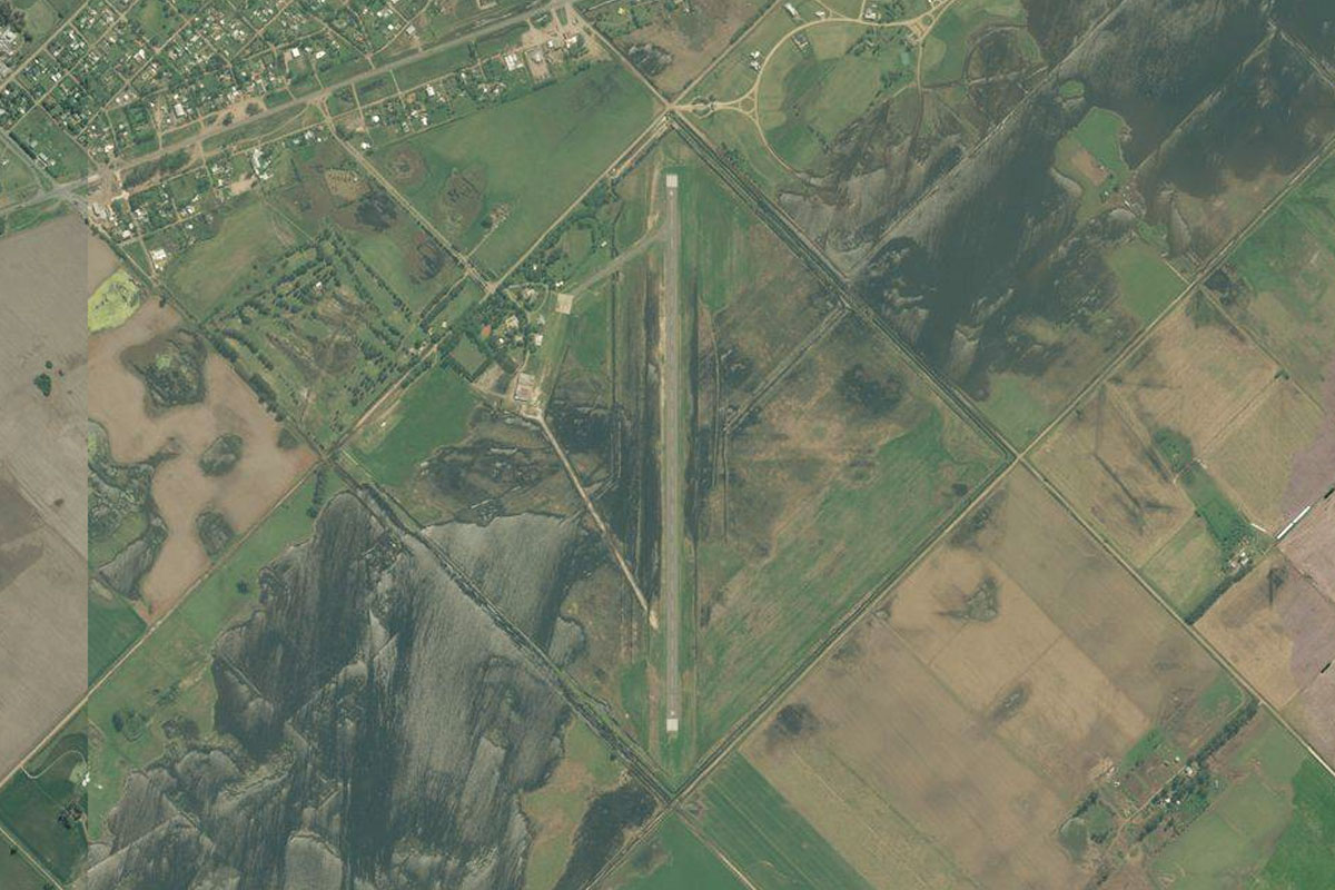
Continue northwest to the larger town of Laboulaye. The airport is on the eastern edge of the town
Leg 9
Flying from SAOL
Leg Distance: 62.77 Approximate time at 125kts: 30 minutes.
SAOL(SAOL) to General Levalle(POI15)
Distance: 28.46NM Bearing: 290° 14 minutes
Follow the road and railway west to the medium sized town of General Levalle
General Levalle(POI15) to Ruta Provincial 10(POI16)
Distance: 9.05NM Bearing: 4° 4 minutes
From the town head north and look out for the small guitar shaped group of trees to the left
Ruta Provincial 10(POI16) to Estancia la Guitarra(POI17)
Distance: 3.27NM Bearing: 278° 2 minutes
Head west to the 'great guitar of the Pampa'
Estancia la Guitarra(POI17) to La Cautiva(POI18)
Distance: 8.52NM Bearing: 228° 4 minutes
From the guitar, head southwest to meet the railway at the small town of La Cautiva
La Cautiva(POI18) to SAVK(SAVK)
Distance: 13.47NM Bearing: 283° 6 minutes
Follow the railway to the next town of Vicuña Mackenna, and the grass airstrip on the southeastern edge of the town – one of 5 different airstrips on the south side of the town
Leg 10
Flying from SAVK
Leg Distance: 55.59 Approximate time at 125kts: 27 minutes.
SAVK(SAVK) to Vicuna Mackenna(POI19)
Distance: 4.31NM Bearing: 325° 2 minutes
Fly northwest over the town to meet the highway heading north
Vicuna Mackenna(POI19) to Santa Catalina(POI20)
Distance: 41.05NM Bearing: 6° 20 minutes
Follow the highway north to its intersection with Highway 8, a few miles southwest of Rio Cuarto
Santa Catalina(POI20) to SAOC(SAOC)
Distance: 10.23NM Bearing: 54° 5 minutes
Head northeast over the city of Rio Cuarto to the airport east of the city
Leg 11
Flying from SAOC
Leg Distance: 56.31 Approximate time at 125kts: 27 minutes.
SAOC(SAOC) to Alcira(POI21)
Distance: 20.03NM Bearing: 358° 10 minutes
After takeoff, head north to the town of Alcira
Alcira(POI21) to Berrotaran(POI22)
Distance: 22.11NM Bearing: 360° 11 minutes
Follow the highway north past the town of Elena, then the larger town of Berrotaran
Berrotaran(POI22) to Embalse Ministro Juan Pistarini(POI23)
Distance: 11.46NM Bearing: 344° 6 minutes
Just after Berrotaran, leave the highway and follow the edge of the farmland northwest to the reservoir
Embalse Ministro Juan Pistarini(POI23) to SAXA(SAXA)
Distance: 2.71NM Bearing: 327° 1 minutes
Fly northwest across the reservoir to the airport on the western edge of the town
Leg 12
Flying from SAXA
Leg Distance: 62.02 Approximate time at 125kts: 30 minutes.
SAXA(SAXA) to Villa General Belgrano(POI24)
Distance: 12.79NM Bearing: 349° 6 minutes
After takeoff, follow the highway north along the base of the hills
Villa General Belgrano(POI24) to Embalse Los Molinos(POI25)
Distance: 10.27NM Bearing: 17° 5 minutes
Head north to the reservoir
Embalse Los Molinos(POI25) to Alta Gracia(POI26)
Distance: 10.88NM Bearing: 37° 5 minutes
From the northern end of the reservoir, fly northeast over the city of Alta Gracia, the childhood home of revolutionary figure Ernesto 'Che' Guevara
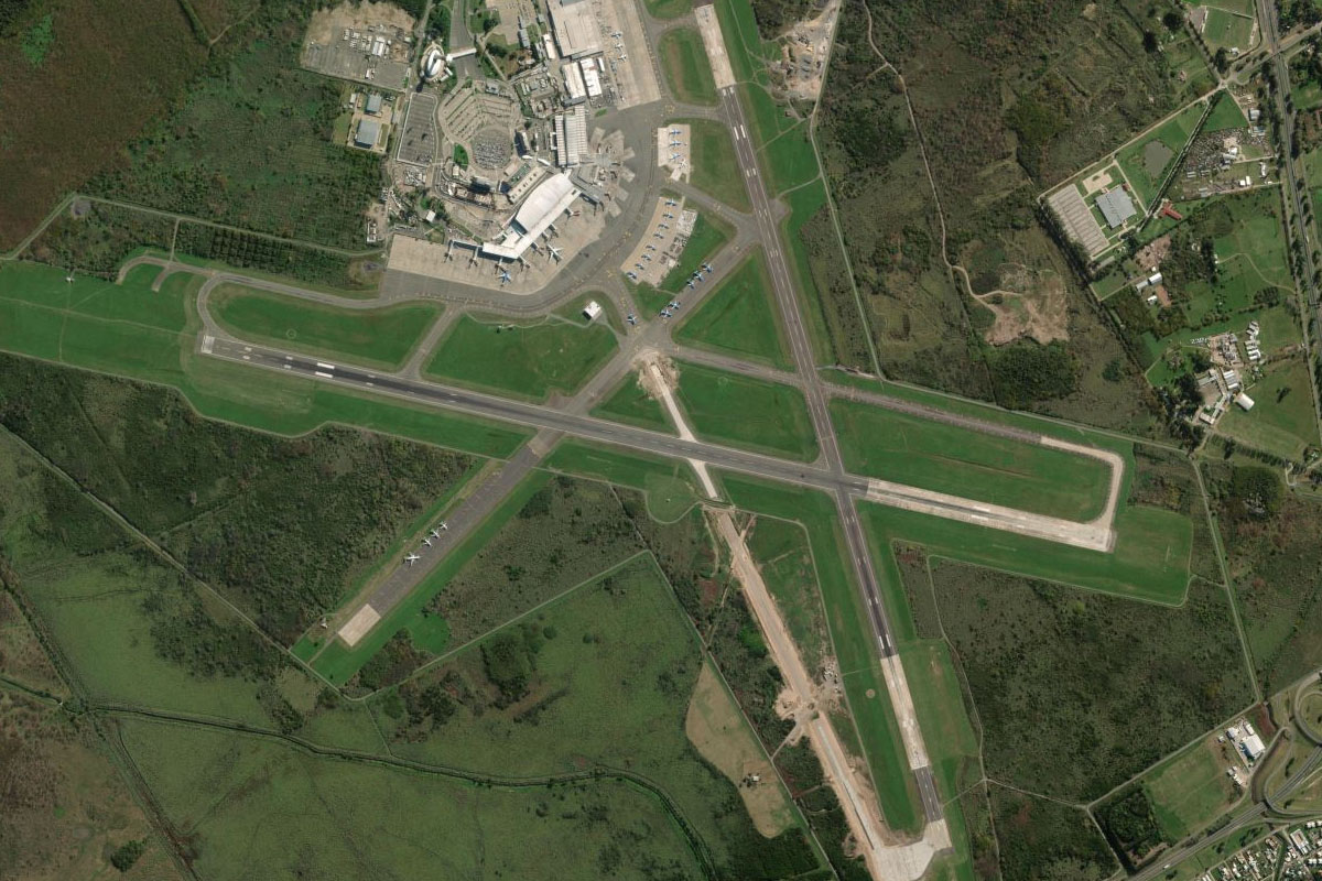
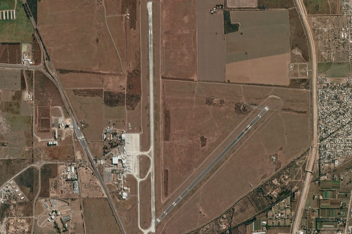
Alta Gracia(POI26) to Cordoba(POI27)
Distance: 19.15NM Bearing: 48° 9 minutes
Continue northeast to the center of Córdoba, Argentina's second largest city after Buenos Aires
Cordoba(POI27) to Estadio Mario Alberto Kempes(POI28)
Distance: 4.8NM Bearing: 313° 2 minutes
Follow the Primero river northwest to the city's main stadium
Estadio Mario Alberto Kempes(POI28) to SACO(SACO)
Distance: 4.13NM Bearing: 35° 2 minutes
Head northeast to the international airport
Leg 13
Flying from SACO
Leg Distance: 64.06 Approximate time at 125kts: 31 minutes.
SACO(SACO) to Monte Cristo(POI29)
Distance: 13.95NM Bearing: 105° 7 minutes
After takeoff, head east to meet the highway at the town of Monte Cristo
Monte Cristo(POI29) to Piquillin(POI30)
Distance: 12.27NM Bearing: 82° 6 minutes
Follow the highway east
Piquillin(POI30) to Rio Primero(POI31)
Distance: 8.74NM Bearing: 129° 4 minutes
Continue along the highway southeast
Rio Primero(POI31) to Arroyito(POI32)
Distance: 23.27NM Bearing: 109° 11 minutes
Keep following the highway as it turns back to the east
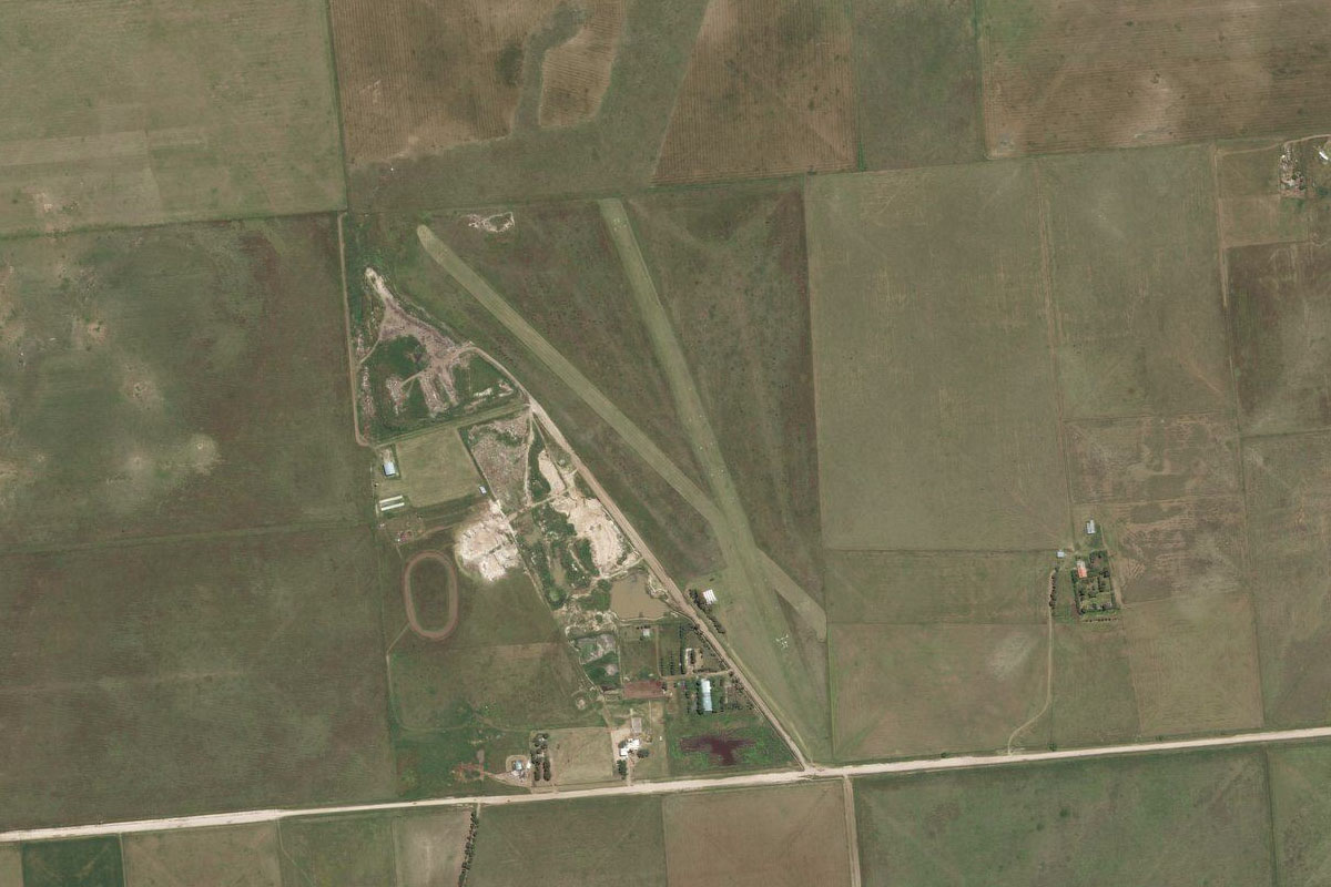
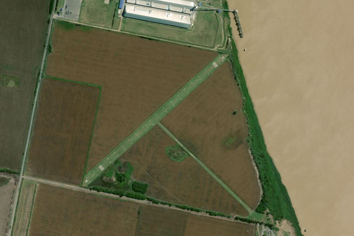
Arroyito(POI32) to SAAH(SAAH)
Distance: 5.83NM Bearing: 88° 3 minutes
Just past the large town of Arroyito is the grass airfield
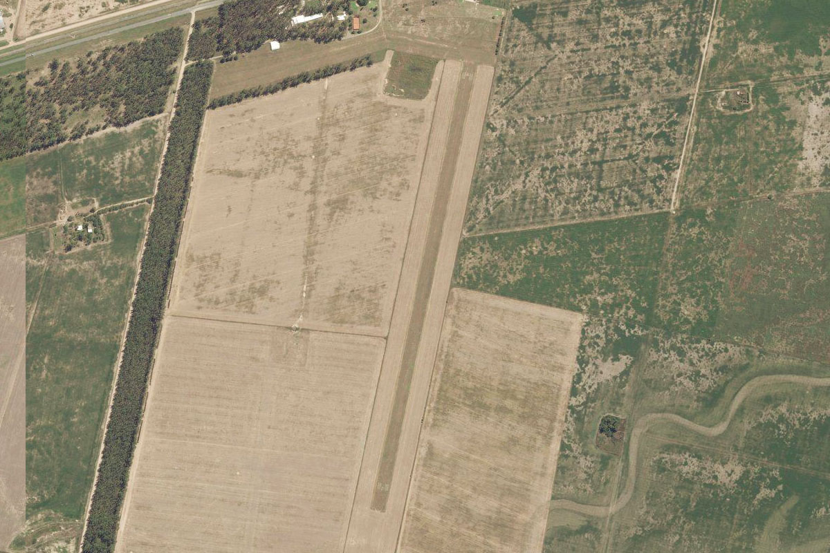
Leg 14
Flying from SAAH
Leg Distance: 44.72 Approximate time at 125kts: 21 minutes.
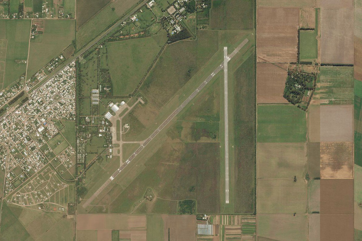
SAAH(SAAH) to San Francisco(POI33)
Distance: 40.13NM Bearing: 97° 19 minutes
Follow the highway all the way to the large town of San Francisco
San Francisco(POI33) to SATH(SATH)
Distance: 4.59NM Bearing: 105° 2 minutes
The grass airstrip is just before you reach the town, on the western side
Leg 15
Flying from SATH
Leg Distance: 71.6 Approximate time at 125kts: 34 minutes.
SATH(SATH) to Santo Tome(POI34)
Distance: 68.55NM Bearing: 112° 33 minutes
After takeoff, head east over the town and follow the highway heading east across the Pampas
Santo Tome(POI34) to SAAV(SAAV)
Distance: 3.05NM Bearing: 176° 1 minutes
As you reach the western outskirts of Santo Tomé, turn south to the airport near the banks of the Coronda River
Leg 16
Flying from SAAV
Leg Distance: 38 Approximate time at 125kts: 18 minutes.
SAAV(SAAV) to Santa Fe(POI35)
Distance: 7.67NM Bearing: 66° 4 minutes
Head northeast to the center of the provincial capital of Santa Fe
Santa Fe(POI35) to Rio Santa Fe(POI36)
Distance: 2.97NM Bearing: 101° 1 minutes
Follow the highway east over the Santa Fe River
Rio Santa Fe(POI36) to Parana(POI37)
Distance: 9.44NM Bearing: 144° 5 minutes
Head southeast to the nearby city of Paraná
Parana(POI37) to Oro Verde(POI38)
Distance: 5.11NM Bearing: 201° 2 minutes
Head to the small town just south of Paraná, Oro Verde
Oro Verde(POI38) to Colonia Ensayo(POI39)
Distance: 3.67NM Bearing: 248° 2 minutes
Follow the highway southwest
Colonia Ensayo(POI39) to Valle Maria(POI40)
Distance: 7.53NM Bearing: 194° 4 minutes
Keep following the highway south to the town of Valle Maria
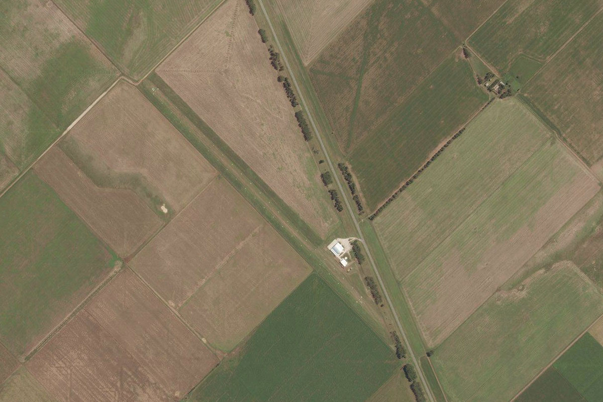
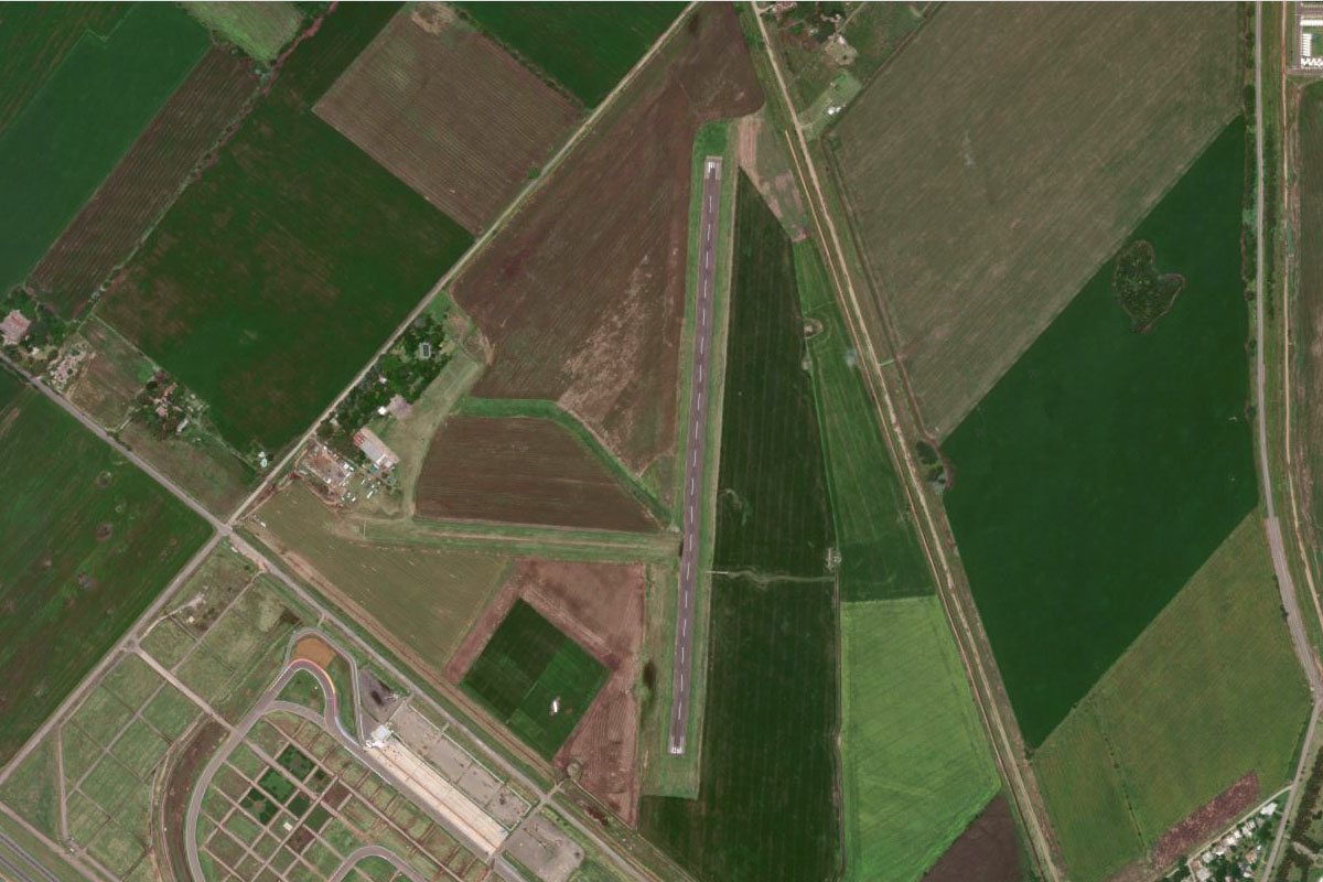
Valle Maria(POI40) to SAEG(SAEG)
Distance: 1.61NM Bearing: 186° 1 minutes
Just south of the town next to the highway is the grass airstrip of Diamante Airport
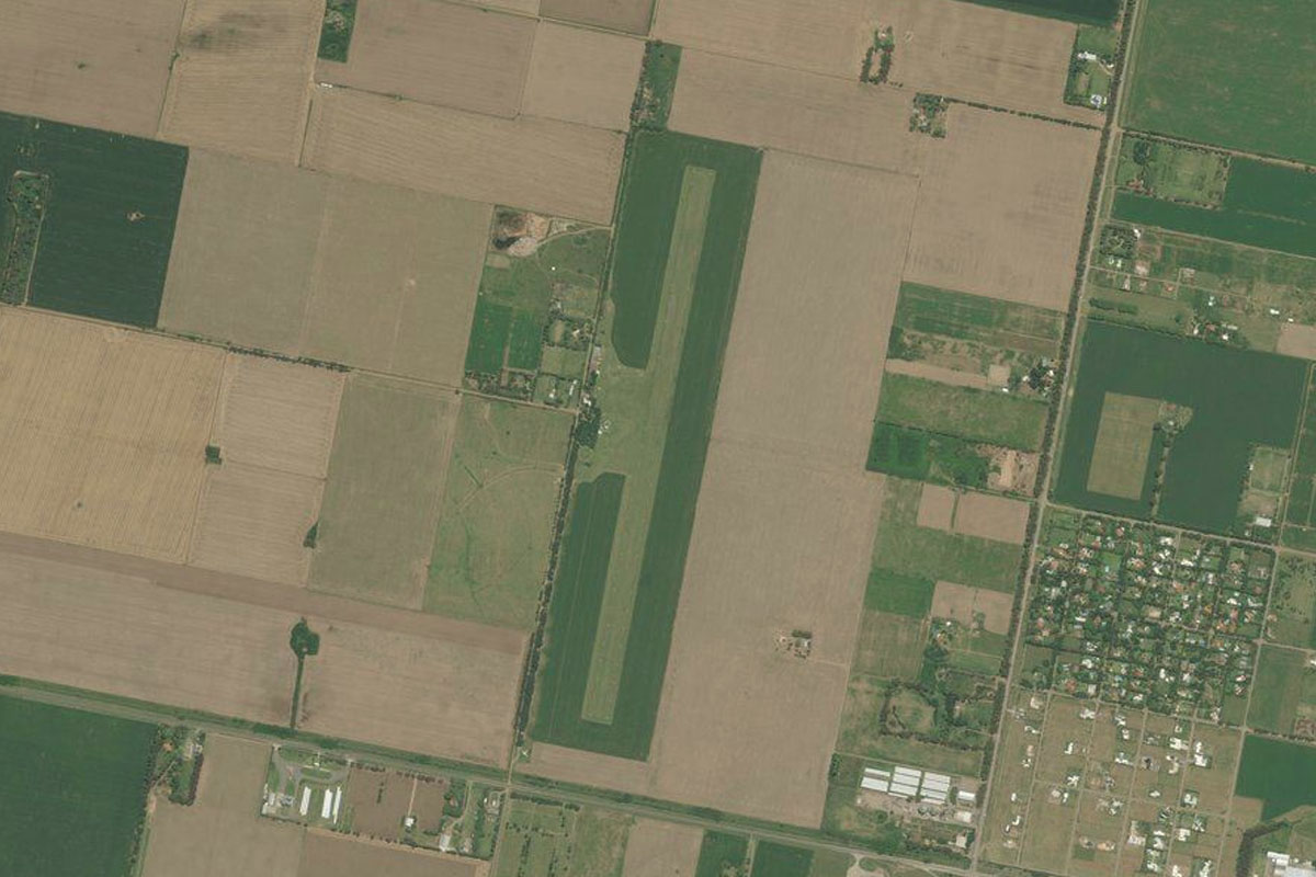
Leg 17
Flying from SAEG
Leg Distance: 40.69 Approximate time at 125kts: 20 minutes.
SAEG(SAEG) to Rio Parana(POI41)
Distance: 9.35NM Bearing: 229° 4 minutes
Fly southwest to the Paraná River, South America's second longest river after the Amazon
Rio Parana(POI41) to Rio Parana(POI42)
Distance: 23.77NM Bearing: 202° 11 minutes
Follow the river as it heads south
Rio Parana(POI42) to SASW(SASW)
Distance: 7.57NM Bearing: 170° 4 minutes
Continue south along the western bank of the river through the San Lorenzo-Puerto General San Martín Port Complex, an important area for agricultural exports. There is also a small airport next to the river
Leg 18
Flying from SASW
Leg Distance: 55.22 Approximate time at 125kts: 27 minutes.
SASW(SASW) to Rosario(POI43)
Distance: 18.97NM Bearing: 172° 9 minutes
Head south along the river to the city of Rosario
Rosario(POI43) to San Nicolas de los Arroyos(POI44)
Distance: 32.54NM Bearing: 145° 16 minutes
Keep following the river as it turns southeast and leads to the city of San Nicolás de los Arroyos
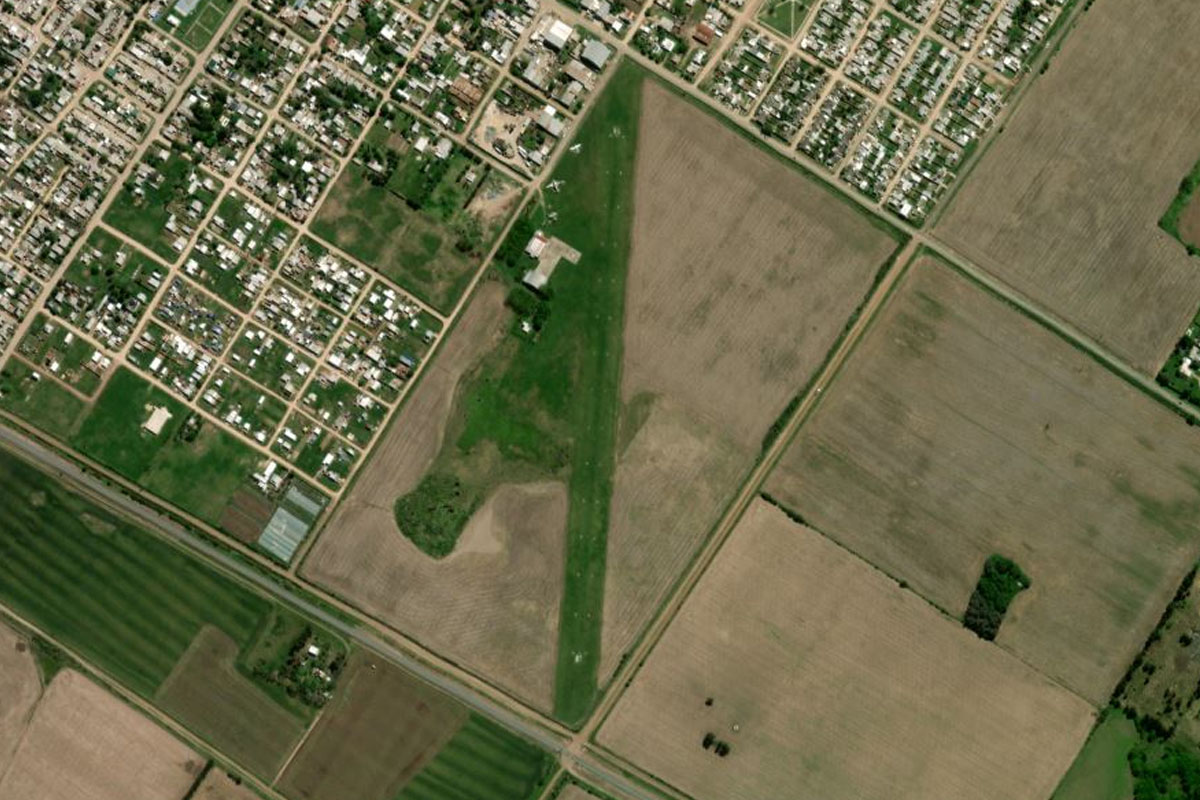
San Nicolas de los Arroyos(POI44) to SNY(SNY)
Distance: 3.71NM Bearing: 195° 2 minutes
Head to the airport south of the city
Leg 19
Flying from SNY
Leg Distance: 44.27 Approximate time at 125kts: 21 minutes.
SNY(SNY) to Ramallo(POI45)
Distance: 8.64NM Bearing: 122° 4 minutes
Head southeast back to the river
Ramallo(POI45) to San Pedro(POI46)
Distance: 25NM Bearing: 134° 12 minutes
Follow the river southeast to San Pedro
San Pedro(POI46) to SABD(SABD)
Distance: 10.63NM Bearing: 151° 5 minutes
Continue southeast from San Pedro to the town of Baradero. The airport is on the southeastern edge of town
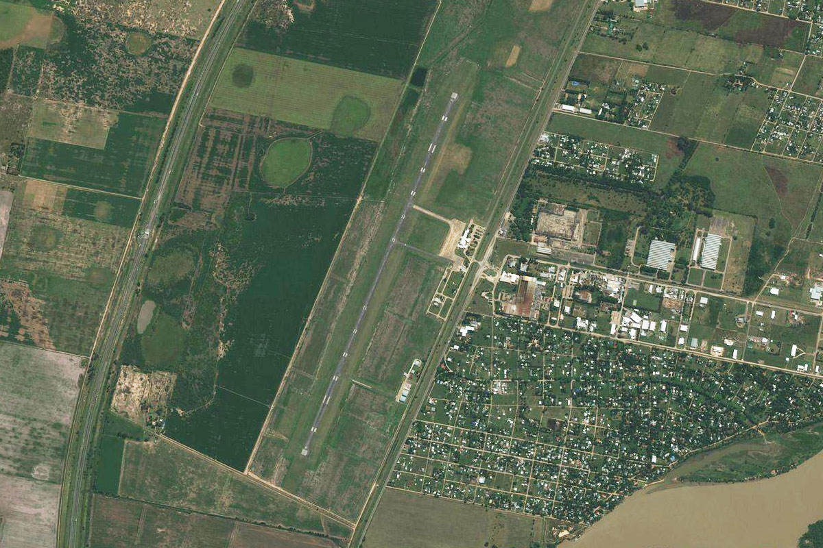
Leg 20
Flying from SABD
Leg Distance: 31.46 Approximate time at 125kts: 15 minutes.
SABD(SABD) to Rio Parana(POI47)
Distance: 13.98NM Bearing: 132° 7 minutes
After takeoff, head southeast back to the Paraná River
Rio Parana(POI47) to Zarate(POI48)
Distance: 13.43NM Bearing: 133° 6 minutes
Follow the river southeast to the large town of Zarate
Zarate(POI48) to SAZC(SAZC)
Distance: 4.05NM Bearing: 231° 2 minutes
The airport is west of the town
Leg 21
Flying from SAZC
Leg Distance: 43.71 Approximate time at 125kts: 21 minutes.
SAZC(SAZC) to Campana(POI49)
Distance: 7.29NM Bearing: 133° 3 minutes
Head southeast to the nearby town of Campana
Campana(POI49) to El Triangulo(POI50)
Distance: 21.85NM Bearing: 151° 10 minutes
Follow the highway southeast to the northern suburbs of Buenos Aires
El Triangulo(POI50) to Acceso Norte(POI51)
Distance: 6.38NM Bearing: 113° 3 minutes
The highway will merge with highway 9 and head east
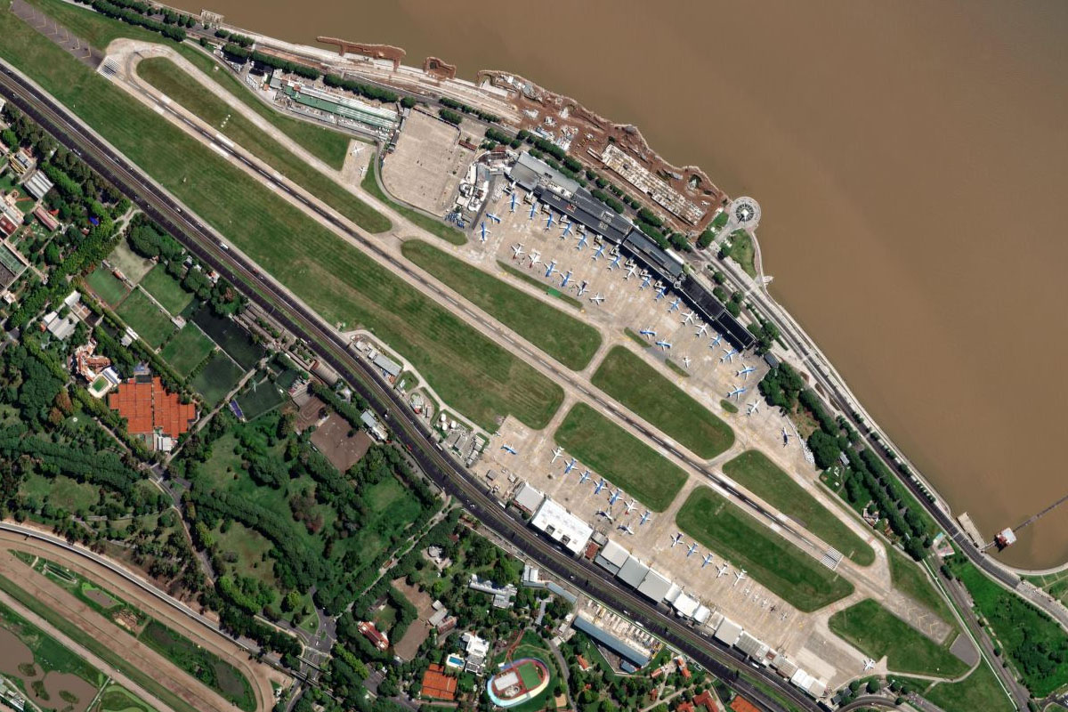
Acceso Norte(POI51) to SABE(SABE)
Distance: 8.19NM Bearing: 130° 4 minutes
As the highway turns southeast it will point you to the coast, and the Jorge Newbery Airport, which is the main airport for domestic flights in Buenos Aires. Just before the airport, to your right will be the River Plate Stadium, famous sporting and concert venue
Leg 22
Flying from SABE
Leg Distance: 33.19 Approximate time at 125kts: 16 minutes.
SABE(SABE) to Autopista Arturo Illia(POI52)
Distance: 2.15NM Bearing: 140° 1 minutes
The last leg of this stage is a tour of Buenos Aires. After takeoff, head southwest along the large expressway to the northern edge of the city
Autopista Arturo Illia(POI52) to 9 de Julio Avenue(POI53)
Distance: 2.45NM Bearing: 189° 1 minutes
Head south along the major road, July 9 Avenue, through the center of Buenos Aires. Sights will include the national historic Obelisk, and the Teatro Colón, one of the world's great opera houses
9 de Julio Avenue(POI53) to La Boca(POI54)
Distance: 1.93NM Bearing: 177° 1 minutes
Continue south along the avenue, which runs in between the stadiums of two of the city's five Primera Division football teams, Boca Juniors and Huracán
La Boca(POI54) to Riachuelo(POI55)
Distance: 2.53NM Bearing: 271° 1 minutes
Once you reach the Matanza River, also known as Riachuelo, follow it west. At the turn of the river, you may also see another major stadium to the right, which is the home of the San Lorenzo team
Riachuelo(POI55) to Autodromo Juan y Oscar Galvez(POI56)
Distance: 3.21NM Bearing: 226° 2 minutes
Follow the river southwest until you reach the green parkland area containing the Autódromo Juan y Oscar Gálvez, a former Formula 1 circuit
Autodromo Juan y Oscar Galvez(POI56) to Avenida General Paz(POI57)
Distance: 4.47NM Bearing: 322° 2 minutes
Turn right at the racing circuit and follow the General Paz freeway northwest
Avenida General Paz(POI57) to Liniers(POI58)
Distance: 0.91NM Bearing: 5° 0 minutes
The freeway will turn north and cross the main railway line at Liniers. There is also another major football stadium to the right, the home of Vélez Sarsfield
Liniers(POI58) to Moron(POI59)
Distance: 4.15NM Bearing: 273° 2 minutes
Turn left and follow the railway and road corridor west to the large rail yard near the city of Morón
Moron(POI59) to Aeroclub Argentino(POI60)
Distance: 5.16NM Bearing: 183° 2 minutes
Turn south for an overfly of the grass airstrip of Aeroclub Argentino
Aeroclub Argentino(POI60) to SAEZ(SAEZ)
Distance: 6.23NM Bearing: 159° 3 minutes
Turn southeast and head to Ezeiza International Airport, the destination for this stage