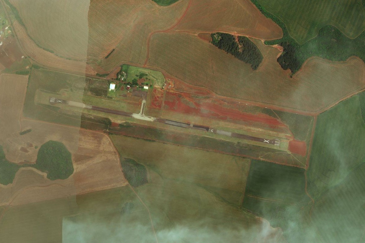
Stage 29 will continue the exploration of South America, with first time visits to both Uruguay and Brazil. Starting in Buenos Aires, you’ll cross the border to Uruguay’s capital Montevideo, before heading east along the coast. Turning northeast, you’ll make your way to Brazil, and the city of Porto Alegre before turning northwest across Brazil’s main wine-growing region in the state of Rio Grande Do Sul, to the Argentinian border city of Posadas on the Paraná River
Total Legs: 23 Total Distance: 1135 Total Time(125kts): 9 hours 4 minutes
Leg 1
Flying from SAEZ
Leg Distance: 39.71 Approximate time at 125kts: 19 minutes.
SAEZ(SAEZ) to Quilmes(POI1)
Distance: 15.21NM Bearing: 73° 7 minutes
After takeoff, head northeast to the highway running along the coast
Quilmes(POI1) to La Plata(POI2)
Distance: 18.65NM Bearing: 136° 9 minutes
Follow the highway southeast to the city of La Plata, the provincial capital
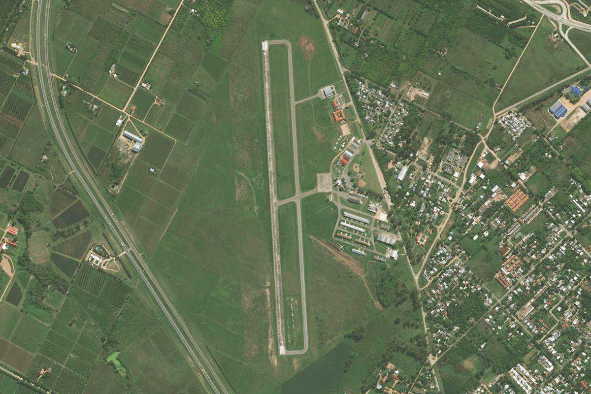
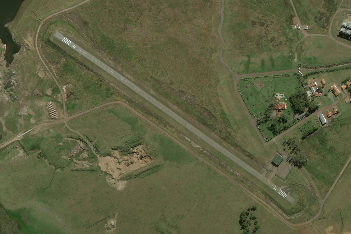
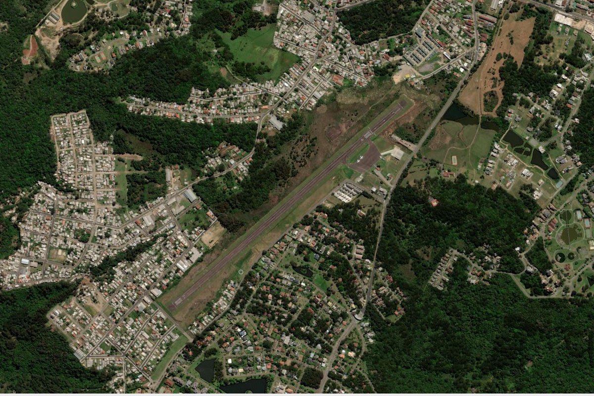
La Plata(POI2) to SADL(SADL)
Distance: 5.85NM Bearing: 159° 3 minutes
The airport is southeast of the city
Leg 2
Flying from SADL
Leg Distance: 34.01 Approximate time at 125kts: 16 minutes.
SADL(SADL) to Isla Santiago(POI3)
Distance: 8.41NM Bearing: 15° 4 minutes
Head north to the entrance of the shipping channel
Isla Santiago(POI3) to Rio de la Plata(POI4)
Distance: 21.69NM Bearing: 14° 10 minutes
Head north over the wide mouth of the River Plate, into Uruguay and the historic city of Colonia del Sacramento
Rio de la Plata(POI4) to SUCA(SUCA)
Distance: 3.91NM Bearing: 89° 2 minutes
A few miles along the coast east of the city is the airport
Leg 3
Flying from SUCA
Leg Distance: 52.56 Approximate time at 125kts: 25 minutes.
SUCA(SUCA) to Juan Lacaze(POI5)
Distance: 16.48NM Bearing: 95° 8 minutes
After takeoff, head east along the coast
Juan Lacaze(POI5) to Boca del Cufre(POI6)
Distance: 14.59NM Bearing: 104° 7 minutes
Continue east along the coast. When it turns away to the southeast, turn northeast
Boca del Cufre(POI6) to Ecilda Paullier(POI7)
Distance: 6.72NM Bearing: 56° 3 minutes
Fly northeast inland to the town of Ecilda Paullier
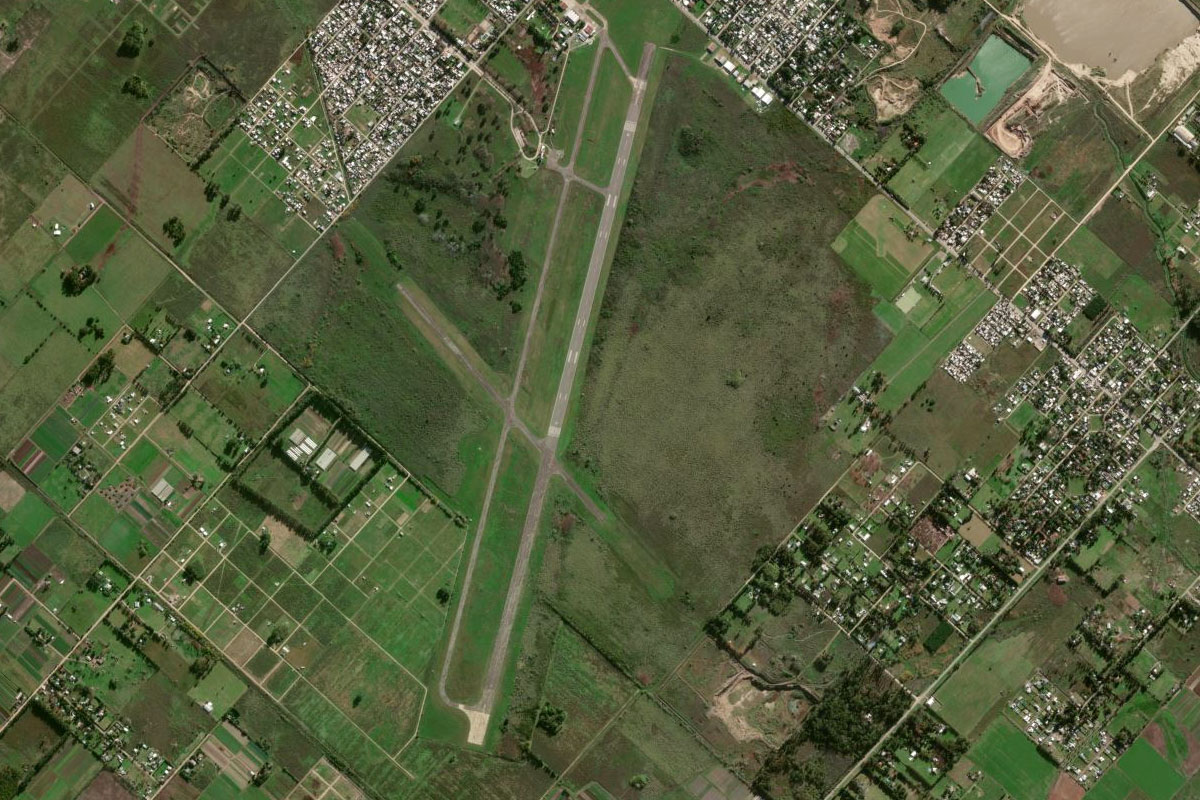
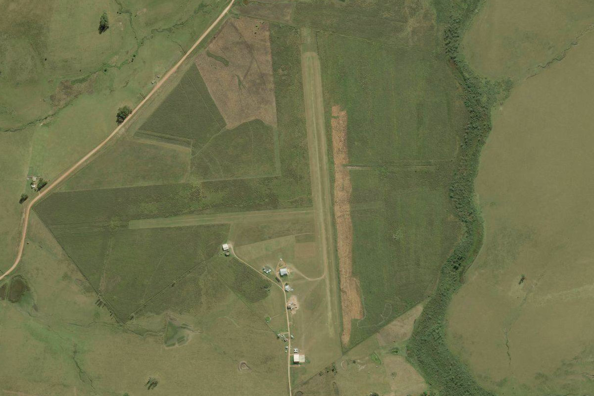
Ecilda Paullier(POI7) to SUSJ(SUSJ)
Distance: 14.77NM Bearing: 99° 7 minutes
Turn east towards the larger town of San Jose. The airfield is just west of the town
Leg 4
Flying from SUSJ
Leg Distance: 39.09 Approximate time at 125kts: 19 minutes.
SUSJ(SUSJ) to Rio San Jose(POI8)
Distance: 2.99NM Bearing: 94° 1 minutes
Head east to meet the San Jose river on the other side of town
Rio San Jose(POI8) to Rio San Jose(POI9)
Distance: 7.54NM Bearing: 177° 4 minutes
Follow the river south
Rio San Jose(POI9) to Rio Santa Lucia(POI10)
Distance: 10.9NM Bearing: 146° 5 minutes
Follow the river southeast where it will join the Santa Lucia River
Rio Santa Lucia(POI10) to Santiago Vazquez(POI11)
Distance: 13.65NM Bearing: 159° 7 minutes
Follow the river southeast to its mouth at the town of Santiago Vazquez
Santiago Vazquez(POI11) to SUAA(SUAA)
Distance: 4.01NM Bearing: 107° 2 minutes
A few miles east of the bridges, on the other side of the highway, is the airport
Leg 5
Flying from SUAA
Leg Distance: 20.44 Approximate time at 125kts: 10 minutes.
SUAA(SUAA) to Bahia de Montevideo(POI12)
Distance: 5.43NM Bearing: 180° 3 minutes
FOllow the highway south to the bay
Bahia de Montevideo(POI12) to Ciudad Viejo(POI13)
Distance: 2.49NM Bearing: 158° 1 minutes
Head southeast across the bay to the historic area of Ciudad Viejo
Ciudad Viejo(POI13) to Punta Carretas(POI14)
Distance: 3.1NM Bearing: 127° 1 minutes
Follow the shore southeast to Point Carretas
Punta Carretas(POI14) to Parque Batlle(POI15)
Distance: 2.49NM Bearing: 23° 1 minutes
As you round the point, fly north to the sporting precinct, and the home of the Centenario Stadium
Parque Batlle(POI15) to SUMU(SUMU)
Distance: 6.93NM Bearing: 70° 3 minutes
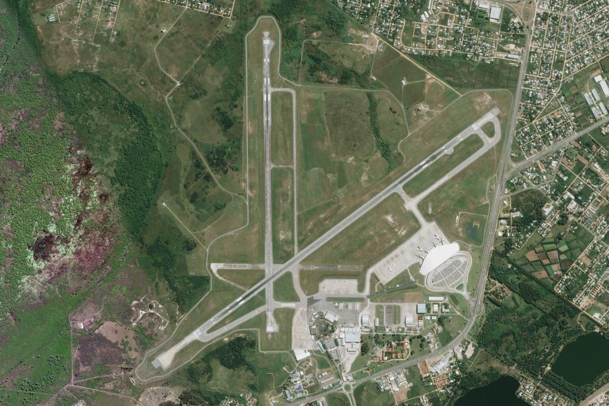
Head northeast to Montevideo's International Airport
Leg 6
Flying from SUMU
Leg Distance: 49.03 Approximate time at 125kts: 24 minutes.
SUMU(SUMU) to Marindia(POI16)
Distance: 12.05NM Bearing: 85° 6 minutes
After takeoff, head east and follow the coast
Marindia(POI16) to Solis(POI17)
Distance: 20.49NM Bearing: 107° 10 minutes
Continue east along the coast
Solis(POI17) to Punta Colorada(POI18)
Distance: 9.07NM Bearing: 143° 4 minutes
Follow the coast as it turns southeast to Point Colorada
Punta Colorada(POI18) to SULS(SULS)
Distance: 7.42NM Bearing: 83° 4 minutes
Follow the coast back to the east, where you will shortly see the airport a mile north of the shore
Leg 7
Flying from SULS
Leg Distance: 54.21 Approximate time at 125kts: 26 minutes.
SULS(SULS) to Laguna de Jose Ignacio(POI19)
Distance: 20.28NM Bearing: 99° 10 minutes
Head east past the city of Maldonado until you meet the coast
Laguna de Jose Ignacio(POI19) to Laguna Rocha(POI20)
Distance: 23.17NM Bearing: 76° 11 minutes
Keep following the coast east to the large Rocha Lagoon
Laguna Rocha(POI20) to SURO(SURO)
Distance: 10.76NM Bearing: 10° 5 minutes
Fly north from the lagoon to the town of Rocha, and the airfield to the east
Leg 8
Flying from SURO
Leg Distance: 45.55 Approximate time at 125kts: 22 minutes.
SURO(SURO) to Represa India Muerta(POI21)
Distance: 30.85NM Bearing: 12° 15 minutes
Head north to the large reservoir north of the small town of Velazquez
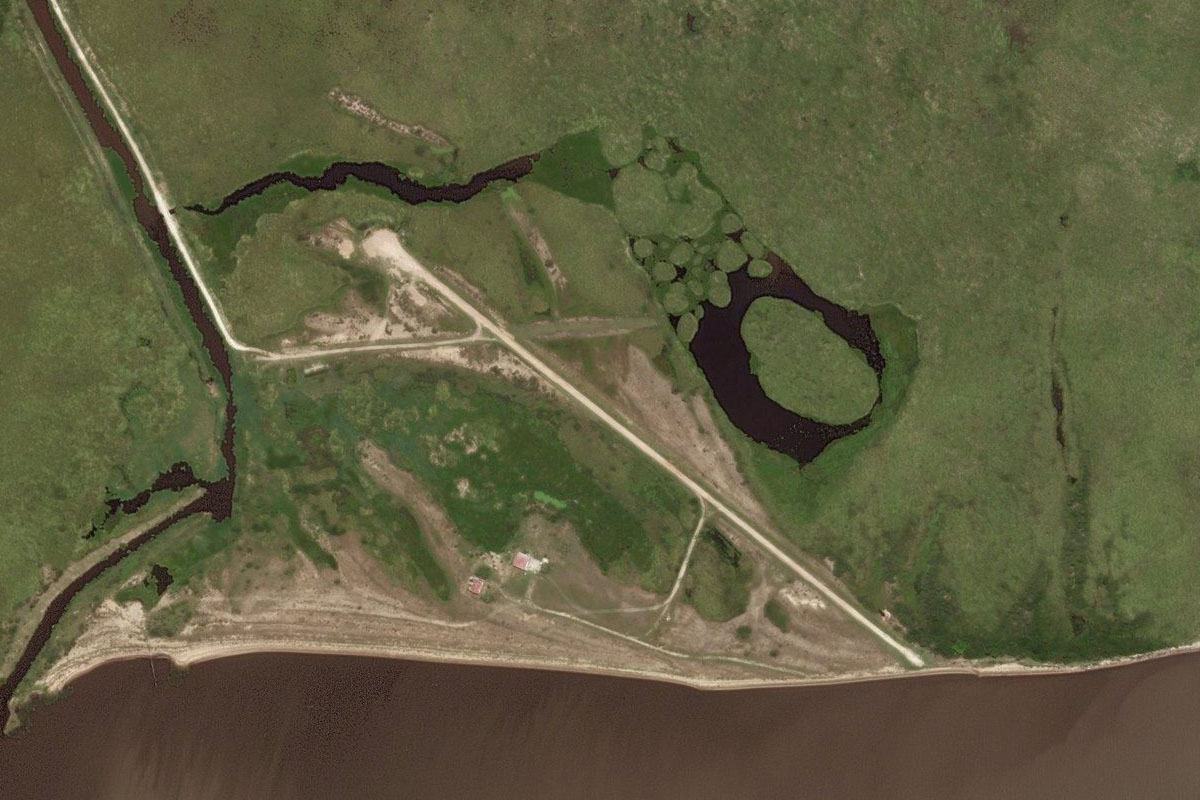
Represa India Muerta(POI21) to SULA(SULA)
Distance: 14.7NM Bearing: 45° 7 minutes
Head northeast to another reservoir, and the airport at its eastern edge
Leg 9
Flying from SULA
Leg Distance: 35.42 Approximate time at 125kts: 17 minutes.
SULA(SULA) to Lascano(POI22)
Distance: 5.8NM Bearing: 341° 3 minutes
Fly northwest to the nearby town of Lascano
Lascano(POI22) to Treinta y Tres(POI23)
Distance: 26.98NM Bearing: 359° 13 minutes
Head north to the larger town of Treinta y Tres
Treinta y Tres(POI23) to SUTR(SUTR)
Distance: 2.64NM Bearing: 14° 1 minutes
The airfield is northeast of the town
Leg 10
Flying from SUTR
Leg Distance: 63.21 Approximate time at 125kts: 30 minutes.
SUTR(SUTR) to Ruta 17(POI24)
Distance: 4.78NM Bearing: 92° 2 minutes
After takeoff, head east to meet the highway
Ruta 17(POI24) to Vergara(POI25)
Distance: 21.69NM Bearing: 62° 10 minutes
Follow the highway northeast past the town of Vergara
Vergara(POI25) to Rio Branco(POI26)
Distance: 31.24NM Bearing: 62° 15 minutes
Keep following the highway northeast until it meets highway 26 a few miles west of the town of Rio Branco
Rio Branco(POI26) to SSJR(SSJR)
Distance: 5.5NM Bearing: 78° 3 minutes
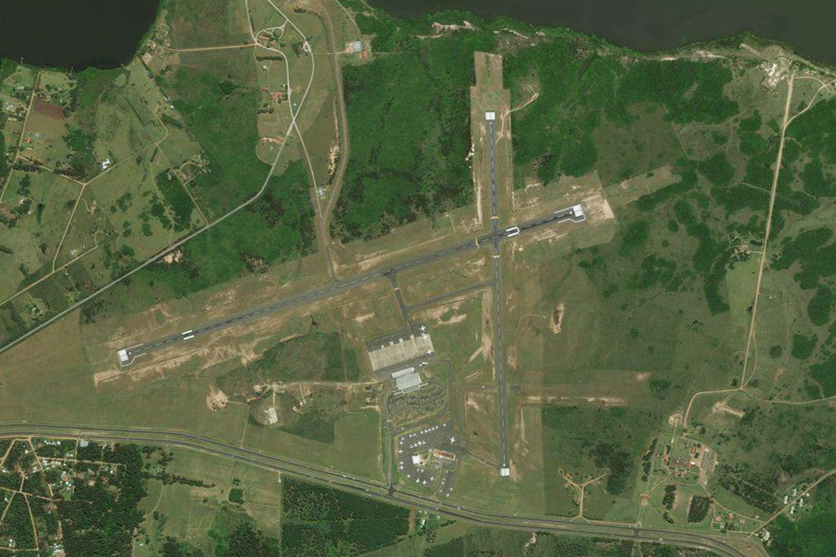
Head to the town just north of Rio Branco on the Brazilian side of the river, Jaguarao, and the airfield north of the town
Leg 11
Flying from SSJR
Leg Distance: 66.6 Approximate time at 125kts: 32 minutes.
SSJR(SSJR) to Arroio Grande(POI27)
Distance: 24.15NM Bearing: 57° 12 minutes
Head to the highway east of the airfield, then follow it northeast past the town of Arroio Grande
Arroio Grande(POI27) to Lagoa Formosa(POI28)
Distance: 24.41NM Bearing: 57° 12 minutes
Continue northeast along the highway
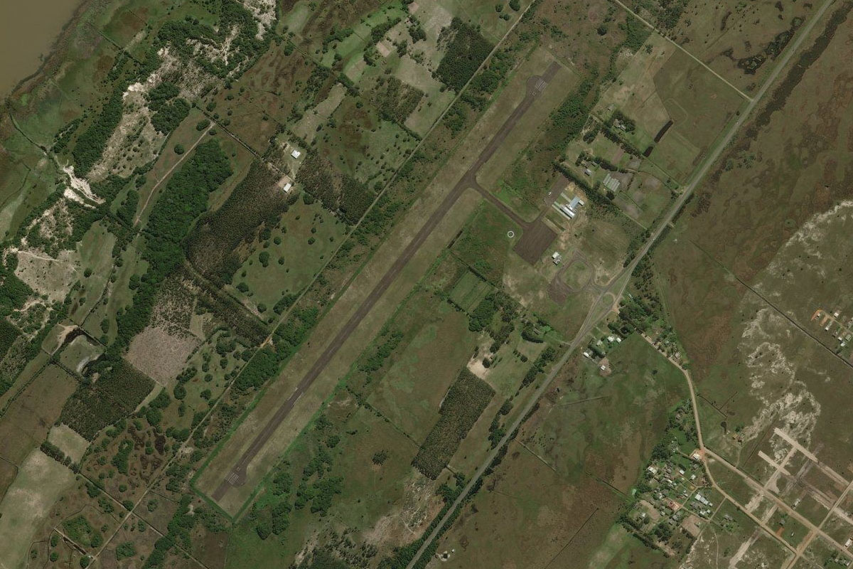
Lagoa Formosa(POI28) to SSCO(SSCO)
Distance: 18.04NM Bearing: 73° 9 minutes
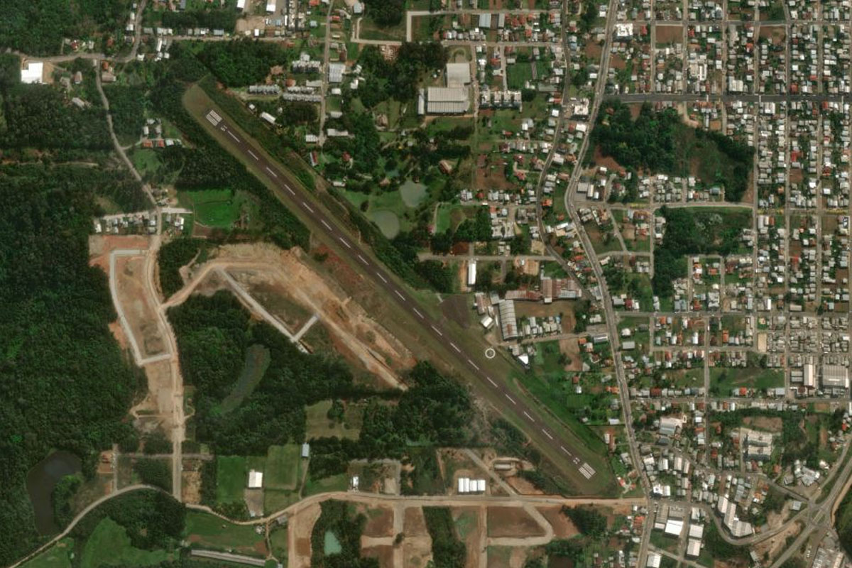
Keep following the highway northeast as it turns towards the city of Pelotas. There is a grass airfield a few miles west of the city, next to the highway
Leg 12
Flying from SSCO
Leg Distance: 64.05 Approximate time at 125kts: 31 minutes.
SSCO(SSCO) to Lagoa dos Patos(POI29)
Distance: 24.86NM Bearing: 83° 12 minutes
After takeoff, head northeast over the city to the Lagoa dos Patos, the largest lagoon in Brazil covering over 10,000 square kilometres
Lagoa dos Patos(POI29) to Sao Lourenco do Su(POI30)
Distance: 14.8NM Bearing: 25° 7 minutes
Follow the western shore of the lagoon north
Sao Lourenco do Su(POI30) to SJGX(SJGX)
Distance: 24.39NM Bearing: 70° 12 minutes
Head northeast along the shore. Cut across the peninsula to the small airfield on the northern side of the large bay
Leg 13
Flying from SJGX
Leg Distance: 61.53 Approximate time at 125kts: 30 minutes.
SJGX(SJGX) to Saco de Tapes(POI31)
Distance: 31.61NM Bearing: 39° 15 minutes
Continue northeast along the shore
Saco de Tapes(POI31) to Lago Guaiba(POI32)
Distance: 21.38NM Bearing: 47° 10 minutes
Keep following the shore northeast until you reach Lake Guaíba, which is an extension of Lagoa dos Patos
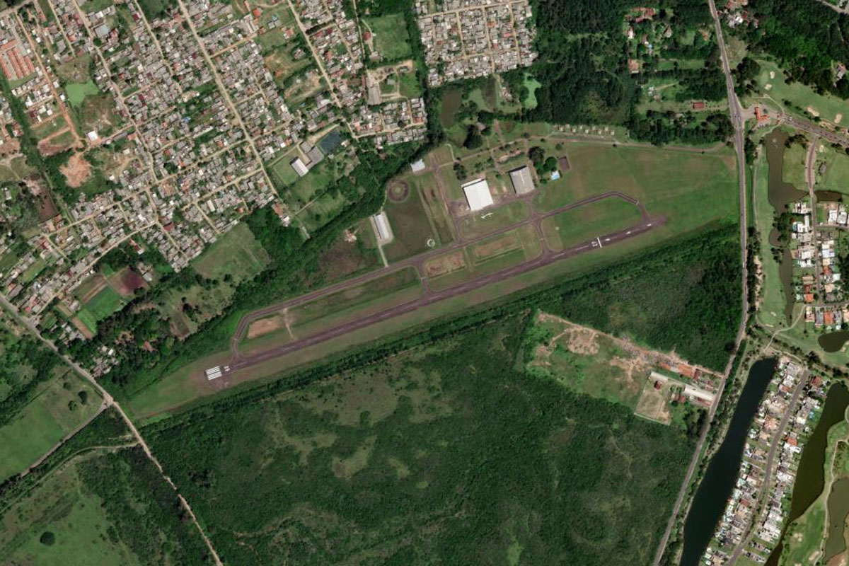
Lago Guaiba(POI32) to SSBN(SSBN)
Distance: 8.54NM Bearing: 5° 4 minutes
Head north to the airport on the other side of the lake
Leg 14
Flying from SSBN
Leg Distance: 64.37 Approximate time at 125kts: 31 minutes.
SSBN(SSBN) to Cristal(POI33)
Distance: 6.72NM Bearing: 350° 3 minutes
after takeoff, head northwest between the hills to the southern suburbs of Porto Alegre
Cristal(POI33) to Porto Alegre(POI34)
Distance: 6.87NM Bearing: 30° 3 minutes
Head north past the city of Porto Alegre, the center of Brazil's fifth largest metropolitan area
Porto Alegre(POI34) to Gravitai(POI35)
Distance: 12.83NM Bearing: 102° 6 minutes
Follow the main highway that runs east between the two airports at the northern end of the city
Gravitai(POI35) to Lagoa dos Barros(POI36)
Distance: 28.85NM Bearing: 98° 14 minutes
Continue east along the highway to the large lagoon near the coast
Lagoa dos Barros(POI36) to SSOS(SSOS)
Distance: 9.1NM Bearing: 118° 4 minutes
On the eastern side of the lagoon is the town of Osorio, with the airport on the southern edge of town
Leg 15
Flying from SSOS
Leg Distance: 38.21 Approximate time at 125kts: 18 minutes.
SSOS(SSOS) to Terra de Areia(POI37)
Distance: 21.83NM Bearing: 45° 10 minutes
Fly northeast along the foothills of the Serra Geral mountains
Terra de Areia(POI37) to SBTR(SBTR)
Distance: 16.38NM Bearing: 72° 8 minutes
Head northeast along Itapeva Lagoon. Torres airport is at the northern end between the lagoon and the ocean
Leg 16
Flying from SBTR
Leg Distance: 62.73 Approximate time at 125kts: 30 minutes.
SBTR(SBTR) to Praia Grande(POI38)
Distance: 14.67NM Bearing: 351° 7 minutes
Head north to the town of Praia Grande at the base of the mountains
Praia Grande(POI38) to Parque Nacional de Aparados da Serra(POI39)
Distance: 13.85NM Bearing: 272° 7 minutes
Head west along the valley, then climb over the cliffs of the Aparados da Serra National Park to the Serra Gaucha highlands, an important wine making region
Parque Nacional de Aparados da Serra(POI39) to Barragem do Blang(POI40)
Distance: 21.06NM Bearing: 274° 10 minutes
Continue west to the reservoir of Blang Dam
Barragem do Blang(POI40) to SSCN(SSCN)
Distance: 13.15NM Bearing: 283° 6 minutes
Keep heading west over the valley to the town of Canela. The airport is at the southwestern edge of the town
Leg 17
Flying from SSCN
Leg Distance: 41.32 Approximate time at 125kts: 20 minutes.
SSCN(SSCN) to Caixas do Sul(POI41)
Distance: 21.95NM Bearing: 322° 11 minutes
Head northwest over the hilly terrain to the city of Caixas do Sul
Caixas do Sul(POI41) to Farroupilha(POI42)
Distance: 8.81NM Bearing: 267° 4 minutes
Head west to the next city, Farroupilha
Farroupilha(POI42) to SSGA(SSGA)
Distance: 10.56NM Bearing: 273° 5 minutes
Continue west to the town of Garibaldi, and the airport southwest of the town
Leg 18
Flying from SSGA
Leg Distance: 68.47 Approximate time at 125kts: 33 minutes.
SSGA(SSGA) to Rio Taquari(POI43)
Distance: 13.08NM Bearing: 318° 6 minutes
After takeoff, head northwest to the picturesque Taquari River valley
Rio Taquari(POI43) to Guapore(POI44)
Distance: 19.96NM Bearing: 356° 10 minutes
Head north to the large town of Guapore
Guapore(POI44) to Arvorezinha(POI45)
Distance: 15.44NM Bearing: 283° 7 minutes
Fly west across the Guapore River to the town of Arvorezinha
Arvorezinha(POI45) to Soledade(POI46)
Distance: 16.75NM Bearing: 297° 8 minutes
Head west to the town of Soledade
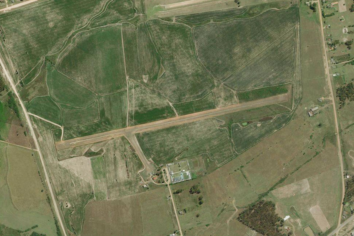
Soledade(POI46) to SSSD(SSSD)
Distance: 3.24NM Bearing: 246° 2 minutes
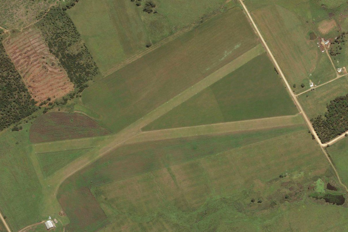
The grass airfield is southwest of the town
Leg 19
Flying from SSSD
Leg Distance: 60.51 Approximate time at 125kts: 29 minutes.
SSSD(SSSD) to Barragem de Passo Real(POI47)
Distance: 31.17NM Bearing: 282° 15 minutes
After takeoff, fly west to the large reservoir
Barragem de Passo Real(POI47) to SSAK(SSAK)
Distance: 29.34NM Bearing: 318° 14 minutes
Head northwest to the city of Cruz Alta. The airport is in the southern part of town
Leg 20
Flying from SSAK
Leg Distance: 37.41 Approximate time at 125kts: 18 minutes.
SSAK(SSAK) to Ijui(POI48)
Distance: 22.34NM Bearing: 330° 11 minutes
Head northwest and follow the main road to the large town of Ijuí
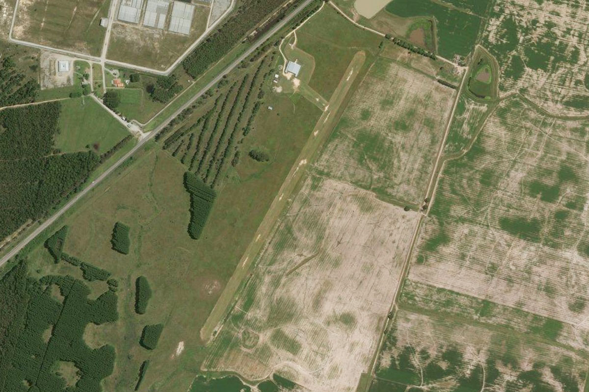
Ijui(POI48) to SBNM(SBNM)
Distance: 15.07NM Bearing: 315° 7 minutes
Continue northwest from Ijuí to Santo Angelo airport, which lies a few miles east of the town
Leg 21
Flying from SBNM
Leg Distance: 53.93 Approximate time at 125kts: 26 minutes.
SBNM(SBNM) to Entre Ijuis(POI49)
Distance: 7.3NM Bearing: 244° 4 minutes
After takeoff, head southwest over the river to the small town of Entre Ijuís
Entre Ijuis(POI49) to Sao Miguel das Missoes(POI50)
Distance: 18.37NM Bearing: 250° 9 minutes
Continue southwest to the small town of São Miguel das Missões – the power line clearing will point the way. The town is the site of important Spanish Jesuit mission ruins
Sao Miguel das Missoes(POI50) to BR-285(POI51)
Distance: 14.99NM Bearing: 318° 7 minutes
Head northwest to meet the highway heading west
BR-285(POI51) to SSLG(SSLG)
Distance: 13.27NM Bearing: 297° 6 minutes
Follow the highway west to the town of São Luiz Gonzaga. The airport is just northwest of the town
Leg 22
Flying from SSLG
Leg Distance: 48.11 Approximate time at 125kts: 23 minutes.
SSLG(SSLG) to Sao Nicolau(POI52)
Distance: 16.58NM Bearing: 330° 8 minutes
Head northwest to the town of São Nicolau
Sao Nicolau(POI52) to Rio Uruguay(POI53)
Distance: 11.02NM Bearing: 316° 5 minutes
Keep flying northwest to meet the Uruguay River
Rio Uruguay(POI53) to APO(APO)
Distance: 20.51NM Bearing: 319° 10 minutes
Continue northwest, back into Argentina and the town of Apostoles. The airport is on the northwestern edge of town

Leg 23
Flying from APO
Leg Distance: 34.58 Approximate time at 125kts: 17 minutes.
APO(APO) to San Jose(POI54)
Distance: 8.37NM Bearing: 11° 4 minutes
Follow the highway north to the small town of San José
San Jose(POI54) to Posadas(POI55)
Distance: 19.16NM Bearing: 2° 9 minutes
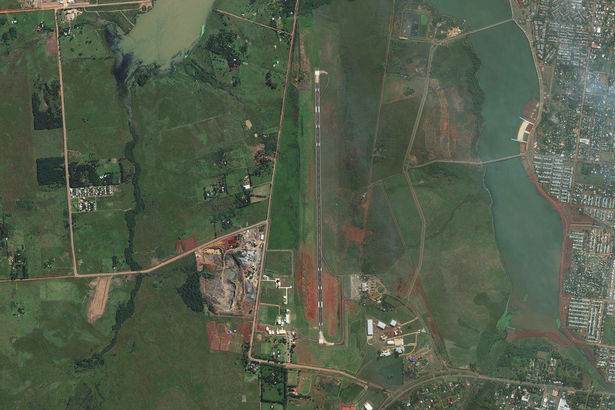
Keep following the highway north to the southern outskirts of Posadas, a city of the Paraná River. On the other side of the river is Paraguay, and the city of Encarnación
Posadas(POI55) to SARP(SARP)
Distance: 7.05NM Bearing: 321° 3 minutes
Fly northwest along the southern edge of the city to the airport on its western side, and the destination for this stage