Stage 30 takes you through Paraguay to the nation’s capital Asunción, before journeying east to the Brazilian coast via the spectacular world famous Iguazú Falls. The trip along the Brazilian coast will visit the Southern Hemisphere’s most populous city, São Paulo, before heading to the iconic city of Rio de Janeiro with its world famous beaches, mountain landmarks and of course the Christ Redeemer statue, one of the wonders of the world.
Total Legs: 28 Total Distance: 1348 Total Time(125kts): 10 hours 47 minutes
Leg 1
Flying from SARP
Leg Distance: 48.5 Approximate time at 125kts: 23 minutes.
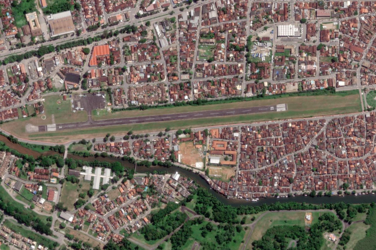
SARP(SARP) to Rio Parana(POI1)
Distance: 20.94NM Bearing: 94° 10 minutes
After takeoff, fly east over the city and cross the Paraná River into Paraguay
Rio Parana(POI1) to San Ignacio(POI2)
Distance: 4.64NM Bearing: 55° 2 minutes
When you once again reach the river, fly northeast to the town of San Ignacio. Near the center of town lie the ruins of the 17th century Jesuit mission San Ignacio Miní
San Ignacio(POI2) to Rio Parana(POI3)
Distance: 5.69NM Bearing: 321° 3 minutes
Head northwest back to the Paraná River
Rio Parana(POI3) to Rio Capiibari(POI4)
Distance: 3.82NM Bearing: 15° 2 minutes
Fly north along the Paraná River and into the mouth of the Capiibari River
Rio Capiibari(POI4) to Trinidad(POI5)
Distance: 4.42NM Bearing: 293° 2 minutes
The river will turn west and point you towards the small town of Trinidad, another site of Jesuit mission ruins, La Santisima Trinidad de Paraná, which you will see as you approach the town from the east
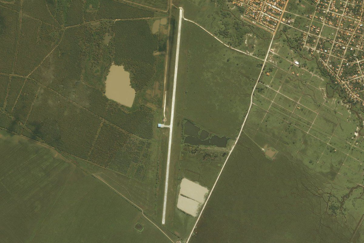
Trinidad(POI5) to SGEN(SGEN)
Distance: 8.99NM Bearing: 248° 4 minutes
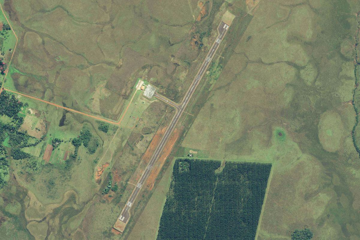
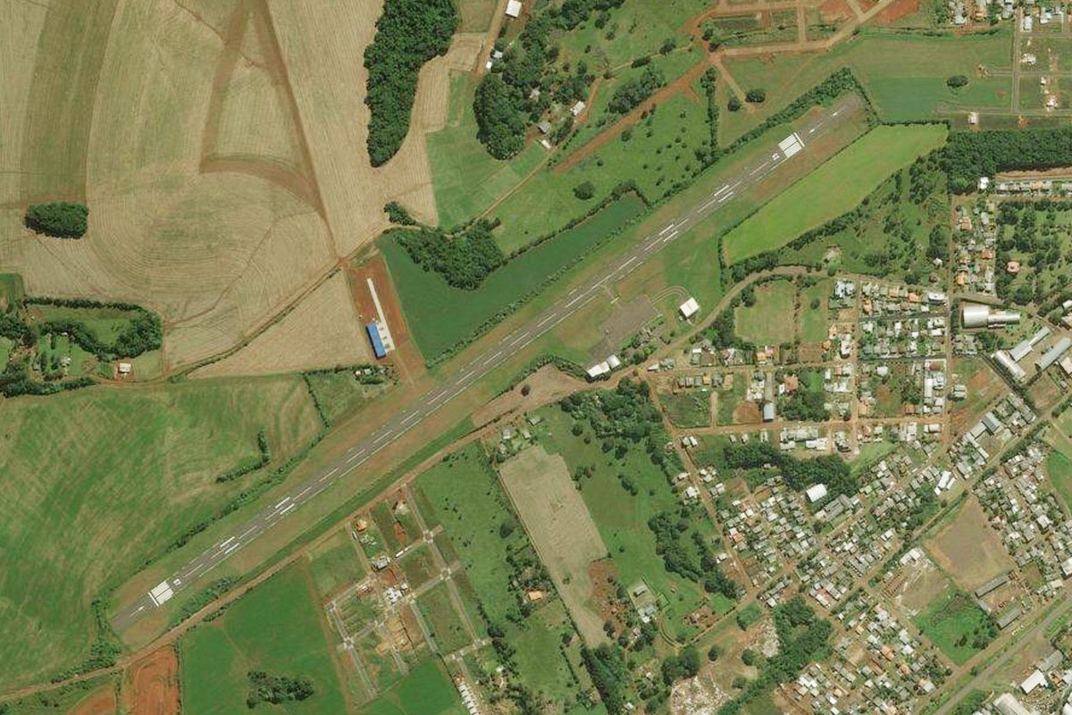
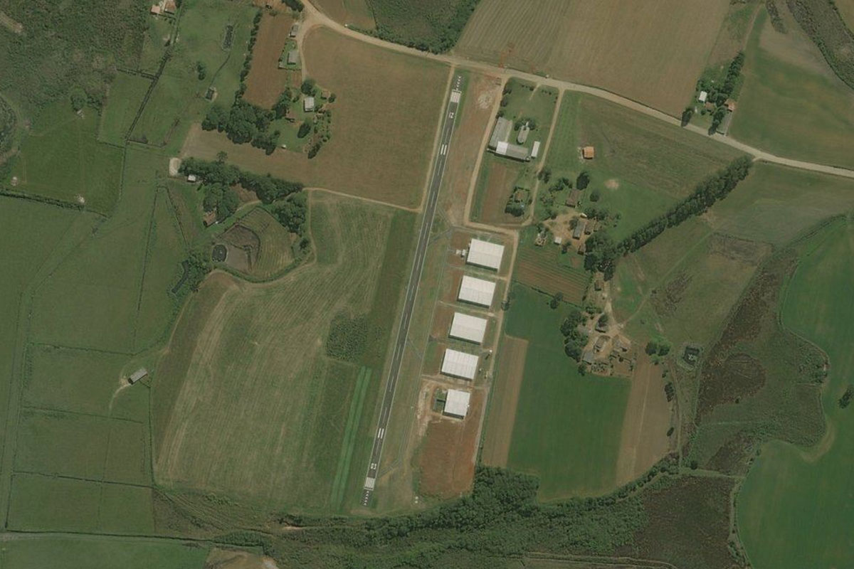
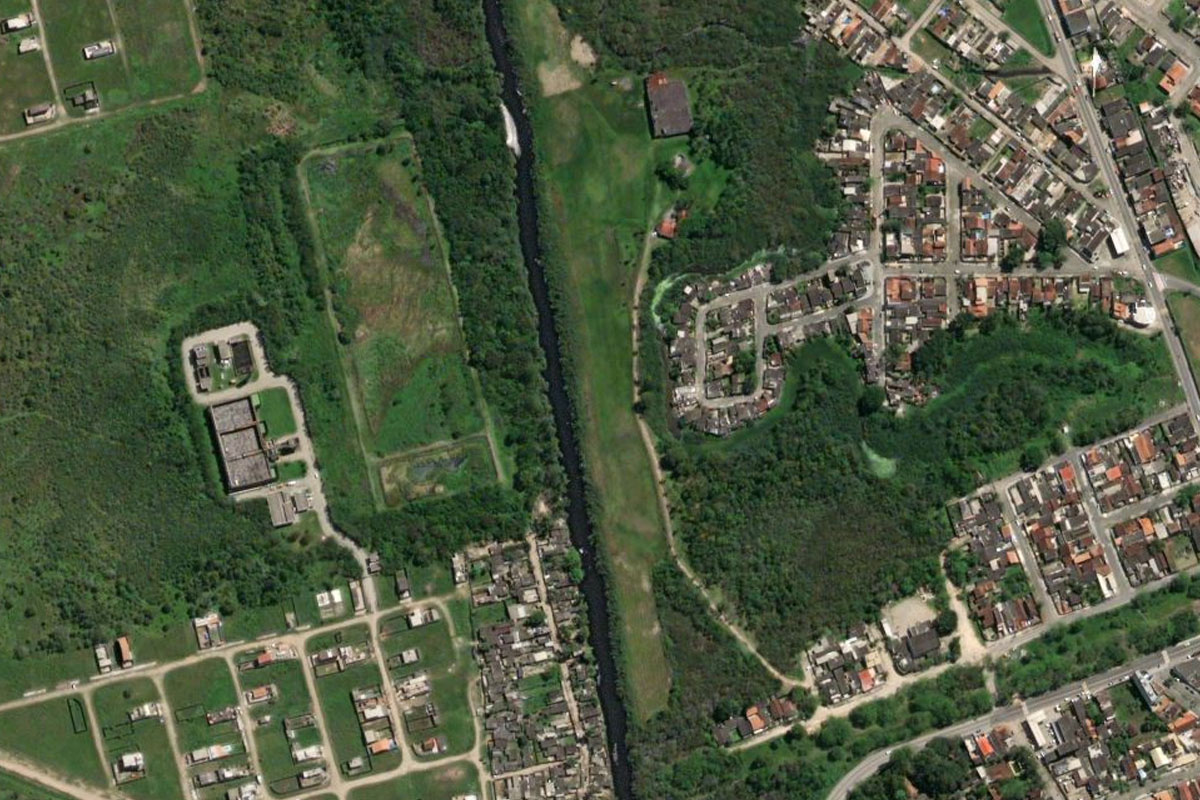
From Trinidad, fly southwest towards the city of Encarnacion. The airport sits a mile to the west of the small town of Capitán Miranda
Leg 2
Flying from SGEN
Leg Distance: 55.4 Approximate time at 125kts: 27 minutes.
SGEN(SGEN) to Rio Parana(POI6)
Distance: 14.67NM Bearing: 269° 7 minutes
After takeoff, head west back to the Paraná River
Rio Parana(POI6) to Rio Parana(POI7)
Distance: 28.36NM Bearing: 275° 14 minutes
Fly west along the north bank of the river
Rio Parana(POI7) to SGAY(SGAY)
Distance: 12.37NM Bearing: 288° 6 minutes
Continue west along the northern channel of the river, to the town of Ayolas. The airport is just past the town
Leg 3
Flying from SGAY
Leg Distance: 42.97 Approximate time at 125kts: 21 minutes.
SGAY(SGAY) to Rio Parana(POI8)
Distance: 3.67NM Bearing: 249° 2 minutes
Head southwest back to the river
Rio Parana(POI8) to Cerrito(POI9)
Distance: 33.9NM Bearing: 288° 16 minutes
Follow the river west towards the town of Cerrito on the north bank
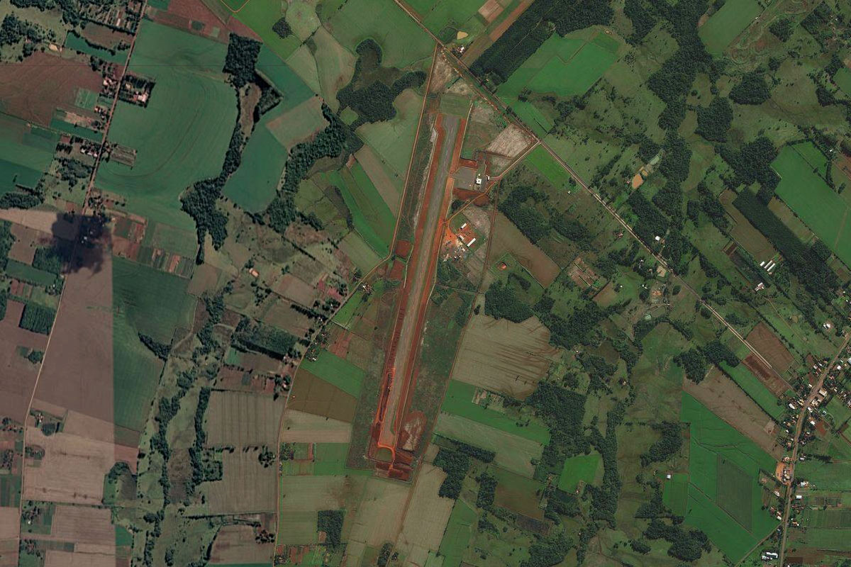
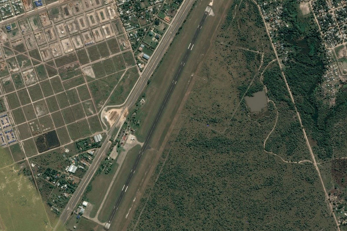
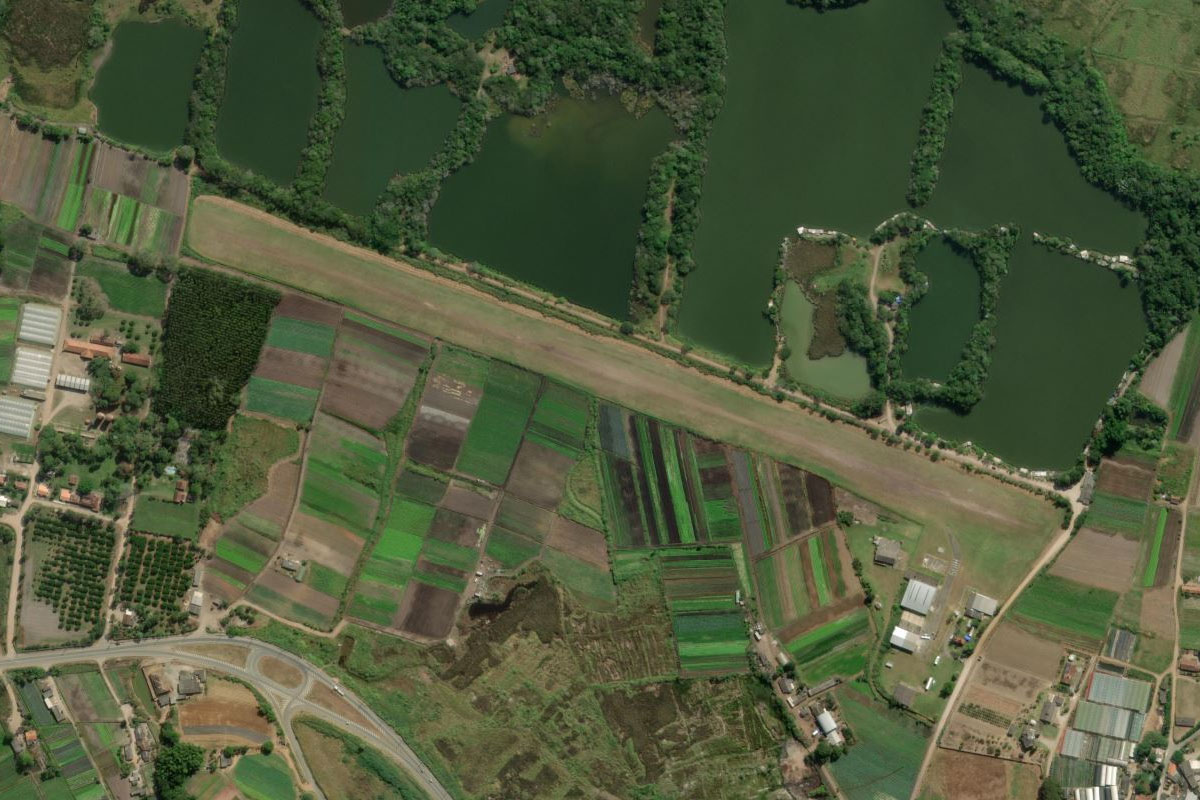
Cerrito(POI9) to SGCE(SGCE)
Distance: 5.4NM Bearing: 282° 3 minutes
The grass airstrip is opposite the town on the south bank
Leg 4
Flying from SGCE
Leg Distance: 55.35 Approximate time at 125kts: 27 minutes.
SGCE(SGCE) to Itati(POI10)
Distance: 32.55NM Bearing: 298° 16 minutes
Follow the river west until you reach the town of Itatí on the south bank
Itati(POI10) to SGPI(SGPI)
Distance: 22.8NM Bearing: 3° 11 minutes
Turn north and head to the town of Pilar. The airport is on the southwestern edge of the town
Leg 5
Flying from SGPI
Leg Distance: 42.61 Approximate time at 125kts: 20 minutes.
SGPI(SGPI) to Rio Paraguay(POI11)
Distance: 37.96NM Bearing: 27° 18 minutes
Head north from Pilar, now following the Paraguay River, to the city of Formosa which is the provincial capital
Rio Paraguay(POI11) to SARF(SARF)
Distance: 4.65NM Bearing: 326° 2 minutes
The airport is at the southern edge of the city
Leg 6
Flying from SARF
Leg Distance: 75.06 Approximate time at 125kts: 36 minutes.
SARF(SARF) to Rio Paraguay(POI12)
Distance: 52.94NM Bearing: 56° 25 minutes
After takeoff, head back to the river and follow it northeast
Rio Paraguay(POI12) to Asuncion(POI13)
Distance: 15.53NM Bearing: 7° 7 minutes
The river will lead you to Paraguay's capital and largest city, Asunción. Head to the downtown area in the western side of the city, home of the main landmarks of López Palace and the Metropolitan Cathedral
Asuncion(POI13) to SGAS(SGAS)
Distance: 6.59NM Bearing: 77° 3 minutes
The international airport is in the north of the city
Leg 7
Flying from SGAS
Leg Distance: 32.48 Approximate time at 125kts: 16 minutes.
SGAS(SGAS) to Lago Ypacarai(POI14)
Distance: 9.29NM Bearing: 112° 4 minutes
After takeoff, head east to Lake Ypacaraí
Lago Ypacarai(POI14) to Ypacarai(POI15)
Distance: 7.29NM Bearing: 170° 3 minutes
Fly to the southern end of the lake
Ypacarai(POI15) to Pirayu(POI16)
Distance: 7.94NM Bearing: 165° 4 minutes
Follow the small river south to the town of Pirayu
Pirayu(POI16) to Z23Z(Z23Z)
Distance: 7.96NM Bearing: 170° 4 minutes
Continue south the town of Paraguarí. The grass airstrip is left of the road leading to the town
Leg 8
Flying from Z23Z
Leg Distance: 47.57 Approximate time at 125kts: 23 minutes.
Z23Z(Z23Z) to General Bernadino Caballero(POI17)
Distance: 17.19NM Bearing: 124° 8 minutes
After takeoff, head southeast and follow the highway running along the south side of the hills
General Bernadino Caballero(POI17) to Coronel Oviedo(POI18)
Distance: 25.3NM Bearing: 71° 12 minutes
Once you pass the town at the eastern end of the hills, turn northeast and head to the city of Coronel Oviedo
Coronel Oviedo(POI18) to SGCN(SGCN)
Distance: 5.08NM Bearing: 156° 2 minutes
The airport is a few miles southeast of the city
Leg 9
Flying from SGCN
Leg Distance: 86.21 Approximate time at 125kts: 41 minutes.
SGCN(SGCN) to Caaguazu(POI19)
Distance: 21.34NM Bearing: 97° 10 minutes
Head east and meet up with the highway heading to the city of Caaguazú
Caaguazu(POI19) to Doctor Juan Eulogio Estigarribia(POI20)
Distance: 17.76NM Bearing: 89° 9 minutes
Follow the highway east to the next town
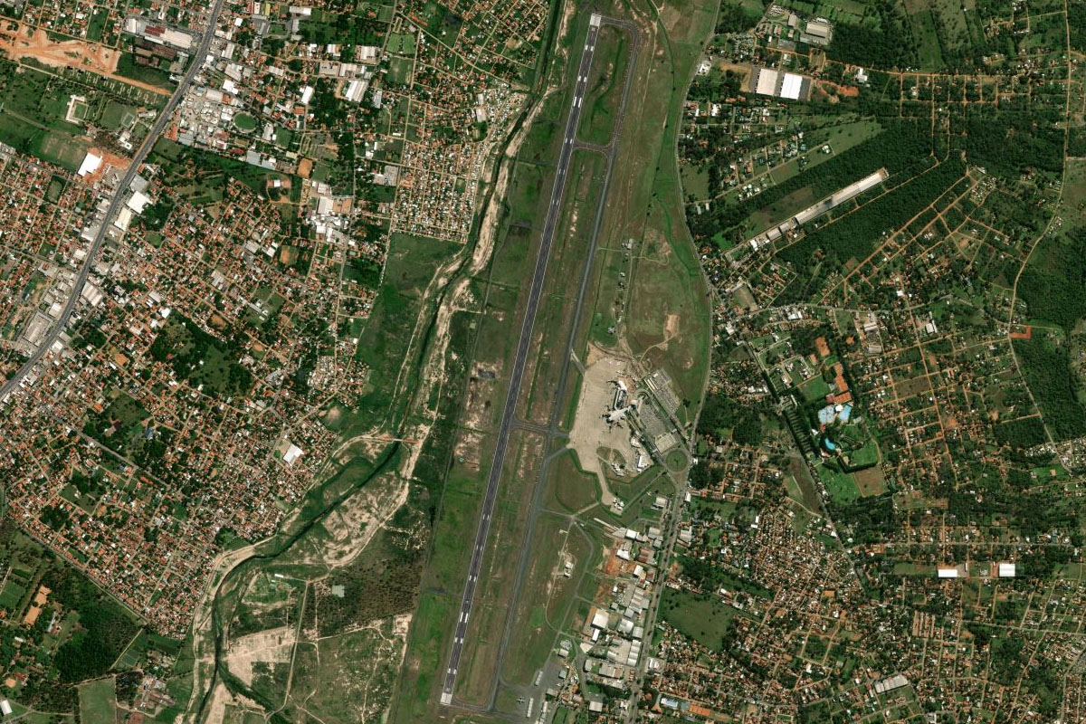
Doctor Juan Eulogio Estigarribia(POI20) to SGES(SGES)
Distance: 47.11NM Bearing: 113° 23 minutes
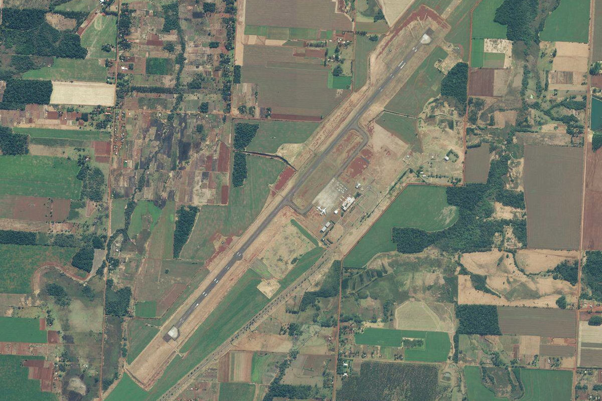
Stay with the highway as it heads east past the Yguazú River Lake. Just north of the highway after you pass the lake is Guarani International Airport
Leg 10
Flying from SGES
Leg Distance: 32.89 Approximate time at 125kts: 16 minutes.
SGES(SGES) to Rio Parana(POI21)
Distance: 13.36NM Bearing: 121° 6 minutes
After takeoff, head southeast to the Paraná River, which runs between the cities of Ciudad del Este in Paraguay and Foz do Iguaçu in Brazil
Rio Parana(POI21) to Rio Iguacu(POI22)
Distance: 4.97NM Bearing: 192° 2 minutes
Follow the river south a few miles to its junction with the Iguazu River. This marks the three-way border between Argentina, Brazil and Paraguay
Rio Iguacu(POI22) to Rio Iguacu(POI23)
Distance: 5.27NM Bearing: 122° 3 minutes
Follow the Rio Iguaçu as it winds its way east
Rio Iguacu(POI23) to Cataratas del Iguazu(POI24)
Distance: 6.08NM Bearing: 162° 3 minutes
Follow the river southeast to the majestic Iguazú Falls, the largest waterfalls in the world (by width)
Cataratas del Iguazu(POI24) to SARI(SARI)
Distance: 3.21NM Bearing: 238° 2 minutes
Once you've viewed the falls, head southwest to the airport
Leg 11
Flying from SARI
Leg Distance: 63.91 Approximate time at 125kts: 31 minutes.
SARI(SARI) to Comandante Andresito(POI25)
Distance: 23.04NM Bearing: 96° 11 minutes
Head east across the forest to the town of Comandante Andresito
Comandante Andresito(POI25) to Rio Iguacu(POI26)
Distance: 26.16NM Bearing: 95° 13 minutes
Continue east alongside the Iguazu River. The forested area north of the river is protected as a national park. When you reach the highway's river crossing, turn to the south
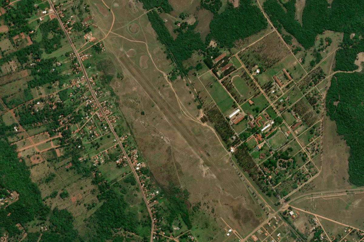
Rio Iguacu(POI26) to SSRE(SSRE)
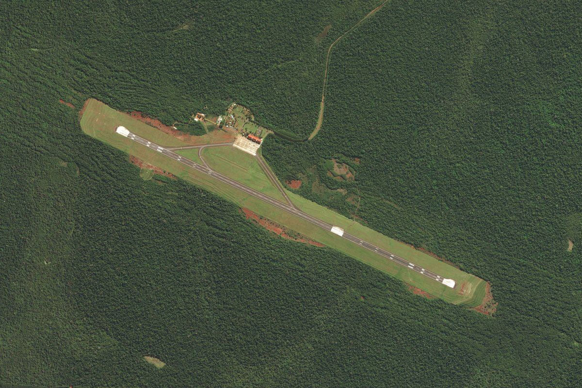
Distance: 14.71NM Bearing: 183° 7 minutes
Fly south to the town of Realeza, and the airport just south of the town
Leg 12
Flying from SSRE
Leg Distance: 50.74 Approximate time at 125kts: 24 minutes.
SSRE(SSRE) to Francisco Beltrao(POI27)
Distance: 28.35NM Bearing: 138° 14 minutes
Fly southeast to the town of Francisco Beltrão
Francisco Beltrao(POI27) to SSPB(SSPB)
Distance: 22.39NM Bearing: 137° 11 minutes
Continue southeast to Pato Branco. The airport is just west of the town
Leg 13
Flying from SSPB
Leg Distance: 42.86 Approximate time at 125kts: 21 minutes.
SSPB(SSPB) to Clevelandia(POI28)
Distance: 21.72NM Bearing: 141° 10 minutes
After takeoff, head southeast to the town of Clevelândia
Clevelandia(POI28) to Palmas(POI29)
Distance: 18.73NM Bearing: 122° 9 minutes
Follow the highway southeast to the next major town, Palmas
Palmas(POI29) to SSPS(SSPS)
Distance: 2.41NM Bearing: 86° 1 minutes
Palmas airport is on the northeastern edge of the town
Leg 14
Flying from SSPS
Leg Distance: 54.64 Approximate time at 125kts: 26 minutes.
SSPS(SSPS) to Barragem Curucaca(POI30)
Distance: 31.45NM Bearing: 100° 15 minutes
Head east across several rivers before reaching the small reservoir of Curucaca Dam
Barragem Curucaca(POI30) to General Carneiro(POI31)
Distance: 5.35NM Bearing: 127° 3 minutes
Turn southeast to the nearby town of General Carneiro
General Carneiro(POI31) to BR-153(POI32)
Distance: 12.75NM Bearing: 56° 6 minutes
From the town, follow the Transbrasiliana Highway northeast
BR-153(POI32) to SSUV(SSUV)
Distance: 5.09NM Bearing: 97° 2 minutes
When you see the city of Porto União east of the highway, fly over it to the airport on the eastern side of the Iguazu River
Leg 15
Flying from SSUV
Leg Distance: 42.26 Approximate time at 125kts: 20 minutes.
SSUV(SSUV) to Rio Iguacu(POI33)
Distance: 18.74NM Bearing: 112° 9 minutes
Follow the river as it twists its way east
Rio Iguacu(POI33) to Canoinhas(POI34)
Distance: 18.24NM Bearing: 98° 9 minutes
When the river turns away to the north, head east to the large town of Canoinhas
Canoinhas(POI34) to SSTB(SSTB)
Distance: 5.28NM Bearing: 74° 3 minutes
The airport is northeast of the town, next to the smaller town of Tres Barras
Leg 16
Flying from SSTB
Leg Distance: 64.5 Approximate time at 125kts: 31 minutes.
SSTB(SSTB) to Mafra(POI35)
Distance: 27.54NM Bearing: 107° 13 minutes
After takeoff, head east to the next large town of Mafra
Mafra(POI35) to Rio da Varzea(POI36)
Distance: 9.64NM Bearing: 5° 5 minutes
From Mafra, head north until you reach the small Varzea River
Rio da Varzea(POI36) to Lapa(POI37)
Distance: 13.08NM Bearing: 51° 6 minutes
Fly northeast to the town of Lapa
Lapa(POI37) to Balsa Nova(POI38)
Distance: 10.77NM Bearing: 47° 5 minutes
Continue northeast to the group of ponds and sand mining area south of the town of Balsa Nova
Balsa Nova(POI38) to SBDP(SBDP)
Distance: 3.47NM Bearing: 8° 2 minutes
The airport is a few miles north of the town
Leg 17
Flying from SBDP
Leg Distance: 24.4 Approximate time at 125kts: 12 minutes.
SBDP(SBDP) to Represa do Rio Verde(POI39)
Distance: 6.5NM Bearing: 99° 3 minutes
Fly east to the Rio Verde Reservoir
Represa do Rio Verde(POI39) to Represa do Rio Verde(POI40)
Distance: 4.11NM Bearing: 71° 2 minutes
Head to the northeastern tip of the reservoir
Represa do Rio Verde(POI40) to Represa Passauna(POI41)
Distance: 4.8NM Bearing: 92° 2 minutes
Fly east to the large reservoir on the edge of Curitiba
Represa Passauna(POI41) to Curitiba(POI42)
Distance: 6.39NM Bearing: 96° 3 minutes
Head east to the downtown area of Curitiba, the largest city in southern Brazil
Curitiba(POI42) to SBBI(SBBI)
Distance: 2.6NM Bearing: 68° 1 minutes
Bacacheri Airport is just northwest of the downtown area
Leg 18
Flying from SBBI
Leg Distance: 46.8 Approximate time at 125kts: 22 minutes.
SBBI(SBBI) to Parque Estadual Pico Parana(POI43)
Distance: 24NM Bearing: 91° 12 minutes
After takeoff, head east to the granite peaks of the Pico Paraná State Park. The tallest – Pico Paraná, is the highest mountain in southern Brazil – head in its direction
Parque Estadual Pico Parana(POI43) to Antonina(POI44)
Distance: 9.07NM Bearing: 171° 4 minutes
After a flyby of the peak, turn south and descend to the town of Antonina, where several rivers empty into Paranaguá Bay
Antonina(POI44) to SSPG(SSPG)
Distance: 13.73NM Bearing: 148° 7 minutes
Head southeast along the bay to the port city of Paranaguá, and the airport on the town's south edge
Leg 19
Flying from SSPG
Leg Distance: 75.24 Approximate time at 125kts: 36 minutes.
SSPG(SSPG) to Paranagua Bay(POI45)
Distance: 9.72NM Bearing: 66° 5 minutes
Fly northeast (runway heading) into the northern arm of the bay
Paranagua Bay(POI45) to Guaraquecaba(POI46)
Distance: 8.65NM Bearing: 46° 4 minutes
Head northeast along the bay past the town of Guaraqueçaba
Guaraquecaba(POI46) to Jacupiranga(POI47)
Distance: 16.46NM Bearing: 59° 8 minutes
Head northeast between the mountain ranges
Jacupiranga(POI47) to Serra do Itapitangui(POI48)
Distance: 14.08NM Bearing: 70° 7 minutes
Continue northeast and follow the road alongside the Itapitangui mountain range
Serra do Itapitangui(POI48) to BR-478(POI49)
Distance: 6.19NM Bearing: 56° 3 minutes
After you pass the mountain range, keep following the road northeast towards another group of mountains
BR-478(POI49) to BR-116(POI50)
Distance: 11.58NM Bearing: 11° 6 minutes
When the road turns to the north, head north past the town of Pariquera-Açu to meet the major highway, federal highway116, which runs the length of southeastern Brazil
BR-116(POI50) to SBWS(SBWS)
Distance: 8.56NM Bearing: 54° 4 minutes
Follow the highway to the airport just south of the large town of Registro
Leg 20
Flying from SBWS
Leg Distance: 52.06 Approximate time at 125kts: 25 minutes.
SBWS(SBWS) to Registro(POI51)
Distance: 4.5NM Bearing: 38° 2 minutes
Head north over the town to meet up with the highway
Registro(POI51) to Juquia(POI52)
Distance: 12.41NM Bearing: 72° 6 minutes
Follow the highway northeast
Juquia(POI52) to Miracatu(POI53)
Distance: 15.31NM Bearing: 95° 7 minutes
Continue east along the wide valley with the highway
Miracatu(POI53) to Itariri(POI54)
Distance: 11.48NM Bearing: 121° 6 minutes
Just after the town of Miracatu, the highway will intersect with another highway and turn north. Follow the smaller highway southeast along the valley towards the coast
Itariri(POI54) to SSMW(SSMW)
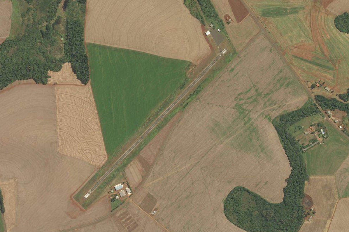
Distance: 8.36NM Bearing: 121° 4 minutes
Continue southeast to the coastal town of Peruíbe. The small grass airstrip is next to the small river at the west of the town
Leg 21
Flying from SSMW
Leg Distance: 54.18 Approximate time at 125kts: 26 minutes.
SSMW(SSMW) to Itanhaem(POI55)
Distance: 14.38NM Bearing: 77° 7 minutes
Follow the coast northeast until you meet the Itanhaém River mouth at the town of Itanhaém
Itanhaem(POI55) to Rio Itanhaem(POI56)
Distance: 6.07NM Bearing: 13° 3 minutes
Follow the river north towards the mountains, known as the great escarpment
Rio Itanhaem(POI56) to Rio Itanhaem(POI57)
Distance: 10.19NM Bearing: 84° 5 minutes
Before it reaches the mountains, the river will turn northeast through a valley
Rio Itanhaem(POI57) to Rio Capivari(POI58)
Distance: 2.45NM Bearing: 9° 1 minutes
At the river junction towards the eastern end of the valley, follow the Capivari River north to the top of the escarpment
Rio Capivari(POI58) to Represa Billings(POI59)
Distance: 10.23NM Bearing: 36° 5 minutes
Fly northeast to Billings Reservoir, the largest reservoir in São Paulo
Represa Billings(POI59) to Represa Billings(POI60)
Distance: 6.52NM Bearing: 356° 3 minutes
Head to the northern tip of the reservoir, where you should see the Interlagos formula 1 circuit to the left
Represa Billings(POI60) to SBSP(SBSP)
Distance: 4.34NM Bearing: 29° 2 minutes
Head northeast to Congonhas International Airport, which lies a few miles south of the center of São Paulo, and is the second busiest airport in Brazil after Guarulhos Airport, also in São Paulo
Leg 22
Flying from SBSP
Leg Distance: 40.25 Approximate time at 125kts: 19 minutes.
SBSP(SBSP) to Estadio do Pacaembu(POI61)
Distance: 4.93NM Bearing: 4° 2 minutes
Head north after takeoff, passing Ibirapuera Park, then Pacaembu Stadium, a popular sporting and concert venue
Estadio do Pacaembu(POI61) to Sao Paulo(POI62)
Distance: 6.64NM Bearing: 99° 3 minutes
Turn right and head east past downtown São Paulo, the financial center of Brazil and most populous city in the Southern Hemisphere
Sao Paulo(POI62) to Represa de Taiacupeba(POI63)
Distance: 17.06NM Bearing: 131° 8 minutes
After passing the city, turn southeast and head to the reservoir in the outer suburbs
Represa de Taiacupeba(POI63) to SDIH(SDIH)
Distance: 11.62NM Bearing: 97° 6 minutes
Fly east, passing to the north of two more reservoirs. The airport is 2 miles north of the second one, next to the highway
Leg 23
Flying from SDIH
Leg Distance: 58.78 Approximate time at 125kts: 28 minutes.
SDIH(SDIH) to Caraguatatuba(POI64)
Distance: 36.15NM Bearing: 120° 17 minutes
After takeoff, head southeast over the nearby reservoir and make your way to the large bay and coastal city of Caraguatatuba
Caraguatatuba(POI64) to Ubatuba(POI65)
Distance: 20.79NM Bearing: 78° 10 minutes
Fly northeast along the beaches and coastal towns to the town of Ubatuba
Ubatuba(POI65) to SDUB(SDUB)
Distance: 1.84NM Bearing: 93° 1 minutes
The airport is near the center of town, between the hills and the beach
Leg 24
Flying from SDUB
Leg Distance: 36.83 Approximate time at 125kts: 18 minutes.
SDUB(SDUB) to Laranjeiras(POI66)
Distance: 22.4NM Bearing: 99° 11 minutes
Follow the coast east to the exclusive golf suburb of Laranjeiras
Laranjeiras(POI66) to Saco do Mamangua(POI67)
Distance: 8.27NM Bearing: 52° 4 minutes
Head northeast along the narrow bay
Saco do Mamangua(POI67) to SDTK(SDTK)
Distance: 6.16NM Bearing: 296° 3 minutes
Turn and head west to the town of Paraty, and the airport
Leg 25
Flying from SDTK
Leg Distance: 32.62 Approximate time at 125kts: 16 minutes.
SDTK(SDTK) to Baia de Ilha Grande(POI68)
Distance: 9.19NM Bearing: 44° 4 minutes
Follow the coast northeast
Baia de Ilha Grande(POI68) to Angra Dos Reis(POI69)
Distance: 18.74NM Bearing: 94° 9 minutes
Follow the coast east and across the bay to the town of Angra Dos Reis
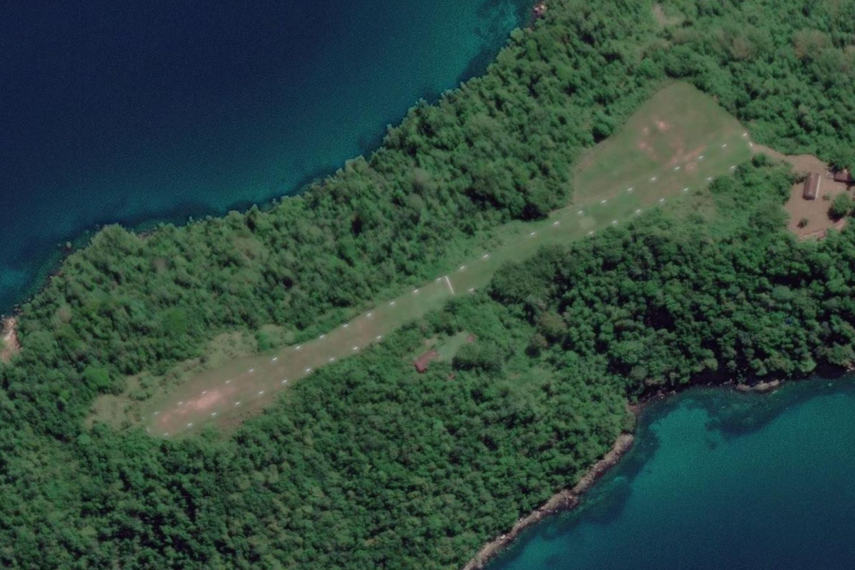
Angra Dos Reis(POI69) to SILI(SILI)
Distance: 4.69NM Bearing: 188° 2 minutes
As you near the town, head south over the mountain to the small island a few miles south, which is dominated by a grass airstrip
Leg 26
Flying from SILI
Leg Distance: 32.13 Approximate time at 125kts: 15 minutes.
SILI(SILI) to Ilha Grande(POI70)
Distance: 9.41NM Bearing: 184° 5 minutes
After takeoff, head south to the main island in the bay, Ilha Grande. A former leper colony and prison, the island is now a UNESCO World Heritage site
Ilha Grande(POI70) to Pico da Marambaia(POI71)
Distance: 16.75NM Bearing: 89° 8 minutes
Fly east along the south side of Ilha Grande, then continue east to the mountainous tip of Marambaia Island
Pico da Marambaia(POI71) to SDMR(SDMR)
Distance: 5.97NM Bearing: 95° 3 minutes
The grass airfield on Marambaia Island is next to the curved bay on the flat part of the island
Leg 27
Flying from SDMR
Leg Distance: 29.94 Approximate time at 125kts: 14 minutes.
SDMR(SDMR) to Grumari(POI72)
Distance: 18.86NM Bearing: 112° 9 minutes
Follow the beach east
Grumari(POI72) to Lagoa Marapendi(POI73)
Distance: 9.61NM Bearing: 96° 5 minutes
Follow the coast and the long Marapendi Lagoon east
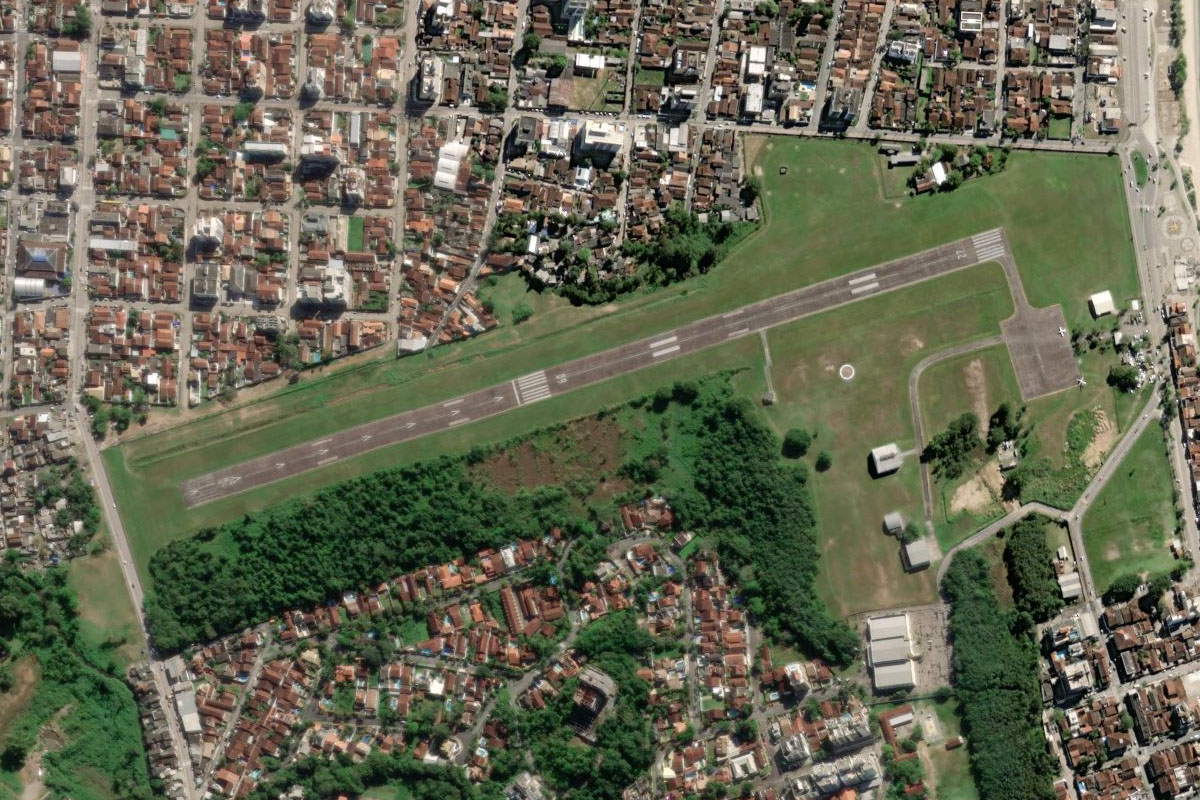
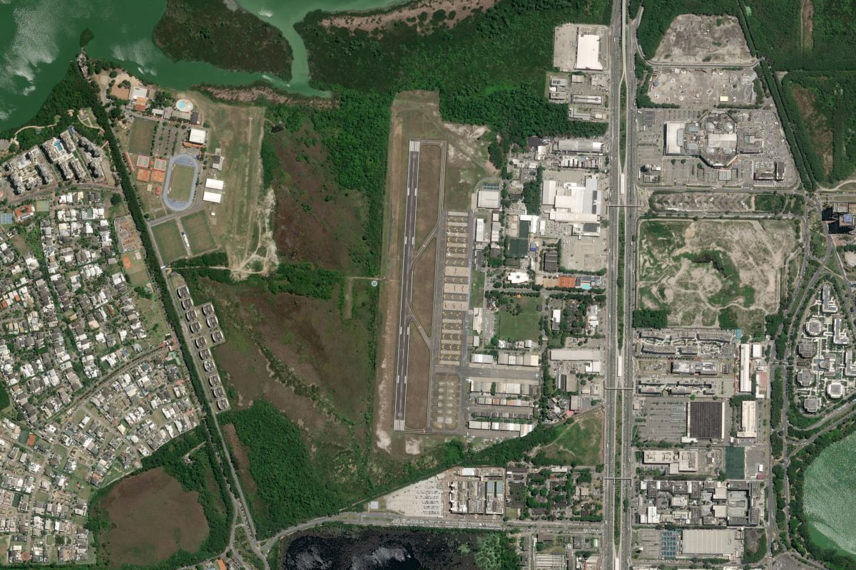
Lagoa Marapendi(POI73) to SBJR(SBJR)
Distance: 1.47NM Bearing: 28° 1 minutes
Keep a lookout for Jacarepagua Airport, just north of the lagoon's eastern end
Leg 28
Flying from SBJR
Leg Distance: 26.62 Approximate time at 125kts: 13 minutes.
SBJR(SBJR) to Pedra da Gavea(POI74)
Distance: 4.94NM Bearing: 131° 2 minutes
After takeoff, head southeast to the coast to pass the mountain peak of Pedra da Gávea
Pedra da Gavea(POI74) to Ipanema(POI75)
Distance: 5.9NM Bearing: 98° 3 minutes
Follow the coast east past the rock formation of Two Brothers Mountain and the famous Ipanema beach
Ipanema(POI75) to Pao de Acucar(POI76)
Distance: 3.28NM Bearing: 61° 2 minutes
Continue northeast, past another famous beach, Copacabana, on the way to Sugarloaf Mountain at the entrance of Guanabara Bay
Pao de Acucar(POI76) to Guanabara Bay(POI77)
Distance: 0.71NM Bearing: 327° 0 minutes
As you enter the bay, turn left around Sugarloaf Mountain
Guanabara Bay(POI77) to Cristo Redentor(POI78)
Distance: 3.81NM Bearing: 263° 2 minutes
Head west to the tall Corcovado Mountain, topped with the Christ Redeemer Statue – the iconic symbol of Rio and Brazil, and one of the New7Wonders of the World
Cristo Redentor(POI78) to Maracana(POI79)
Distance: 3.54NM Bearing: 10° 2 minutes
From the statue, head north over the mountain to another famous landmark, the Maracana Stadium
Maracana(POI79) to Gamboa(POI80)
Distance: 2.44NM Bearing: 83° 1 minutes
Turn east and head for the bay, and the northern end of downtown Rio de Janeiro, the second most populous city in Brazil and host city for the 2016 Summer Olympic Games
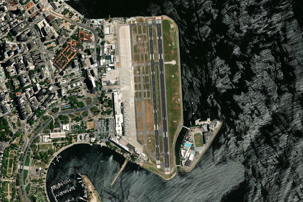
Gamboa(POI80) to SBRJ(SBRJ)
Distance: 2NM Bearing: 148° 1 minutes
Continue a right circuit around the city to Santos Dumont Airport, the destination for this stage of the tour