Stage 32 takes you on a 1000 mile journey west across the heart of South America. Starting from Brasilia, you’ll make your way across the Brazilian highlands and the Cerrado – the vast tropical savanna and the second largest of Brazil’s major habitat types after the Amazon, before continuing west over the world’s largest tropical wetland – the Pantanal. From there, you’ll cross into Paraguay and head to the country’s largest city, Santa Cruz de la Sierra, which sits near the foothills of the Andes Mountains.
Total Legs: 20 Total Distance: 1017 Total Time(125kts): 8 hours 8 minutes
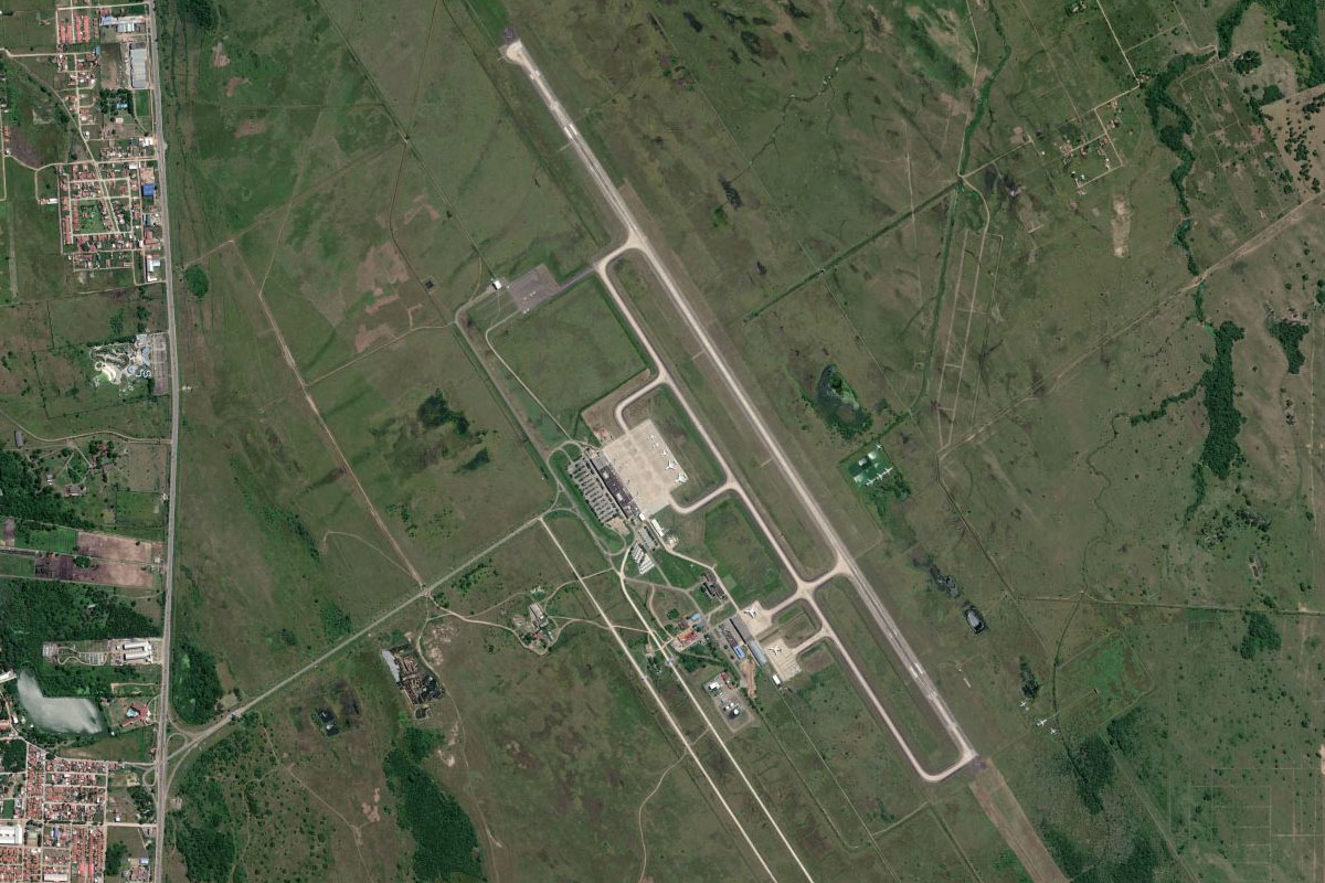
Leg 1
Flying from SBBR
Leg Distance: 37.29 Approximate time at 125kts: 18 minutes.
SBBR(SBBR) to BR-060(POI1)
Distance: 14.32NM Bearing: 282° 7 minutes
After takeoff, fly west and follow the highway also heading west
BR-060(POI1) to Santo Antonio do Descoberto(POI2)
Distance: 6.41NM Bearing: 271° 3 minutes
After the highway turns away to the south, continue west to the group of large towns
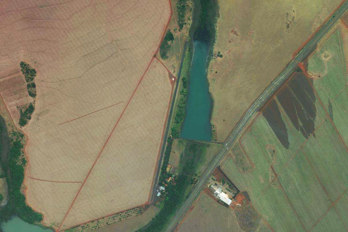
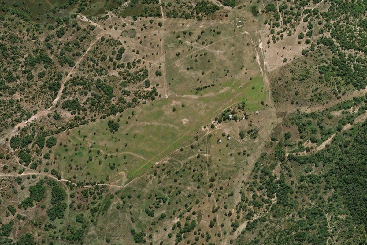
Santo Antonio do Descoberto(POI2) to SBAB(SBAB)
Distance: 16.56NM Bearing: 268° 8 minutes
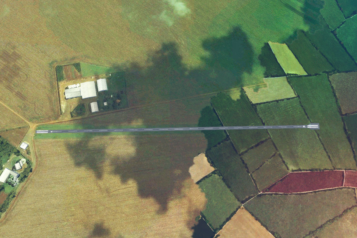
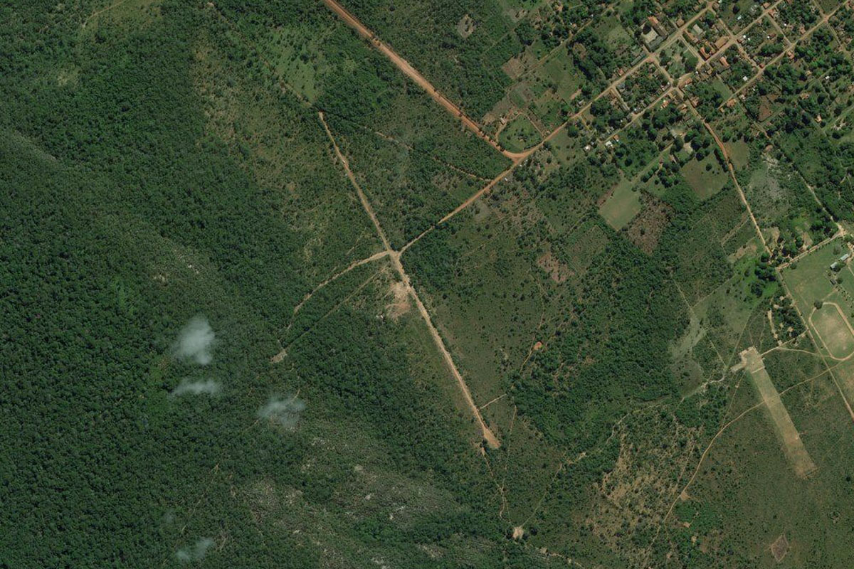
Keep flying west to the town of Alexânia. The airport is northwest of the town
Leg 2
Flying from SBAB
Leg Distance: 62.42 Approximate time at 125kts: 30 minutes.
SBAB(SBAB) to Abadiania(POI3)
Distance: 13.16NM Bearing: 254° 6 minutes
After takeoff, fly southwest to meet the highway and follow it to the next town of Abadiânia
Abadiania(POI3) to Anapolis(POI4)
Distance: 15.77NM Bearing: 255° 8 minutes
Keep following the highway southwest to the larger city of Anápolis
Anapolis(POI4) to Goiania(POI5)
Distance: 27.23NM Bearing: 246° 13 minutes
Continue southwest with the highway to Goiânia, the capital city of Goiás state. The downtown area is a few miles past the main airport
Goiania(POI5) to SWNV(SWNV)
Distance: 6.26NM Bearing: 323° 3 minutes
From downtown, turn northwest and head to the smaller airport near the city's outer suburbs
Leg 3
Flying from SWNV
Leg Distance: 33.04 Approximate time at 125kts: 16 minutes.
SWNV(SWNV) to Trinidade(POI6)
Distance: 8.25NM Bearing: 279° 4 minutes
Fly west to the nearby large town of Trinidade
Trinidade(POI6) to Campestre de Goias(POI7)
Distance: 13.32NM Bearing: 262° 6 minutes
From Trinidade, follow the minor highway southwest to Campestre de Goiás
Campestre de Goias(POI7) to SWGP(SWGP)
Distance: 11.47NM Bearing: 272° 6 minutes
Continue southwest with the highway to the airport which lies just east the town of Palmeiras de Goiás
Leg 4
Flying from SWGP
Leg Distance: 45.82 Approximate time at 125kts: 22 minutes.
SWGP(SWGP) to Serra de Ponte Nova(POI8)
Distance: 8.94NM Bearing: 246° 4 minutes
After takeoff, fly southwest to the nearby group of hills
Serra de Ponte Nova(POI8) to Jandaia(POI9)
Distance: 11.52NM Bearing: 255° 6 minutes
Continue southwest to the town of Jandaia in the centre of the next group of hills
Jandaia(POI9) to BR-060(POI10)
Distance: 9.82NM Bearing: 191° 5 minutes
Turn south and head to the highway
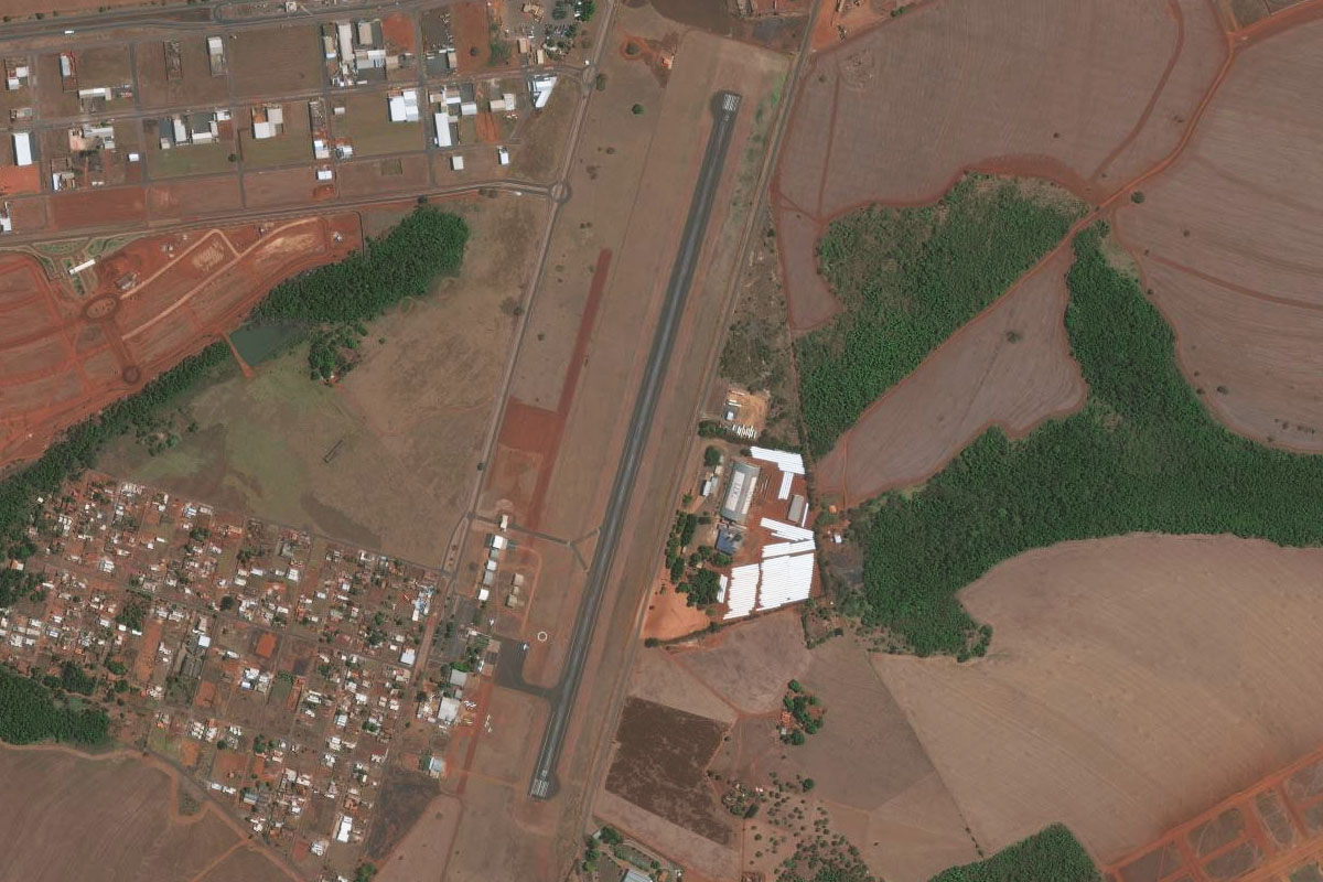
BR-060(POI10) to SJER(SJER)
Distance: 15.54NM Bearing: 255° 7 minutes
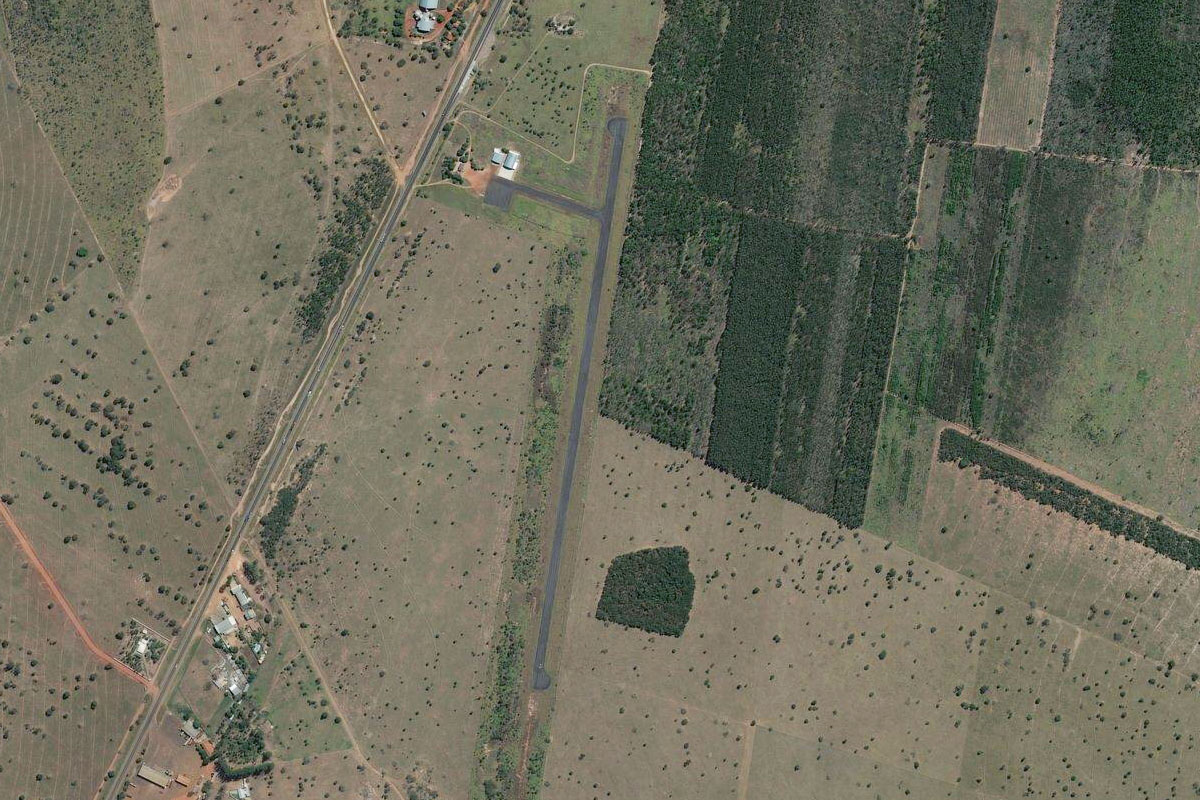
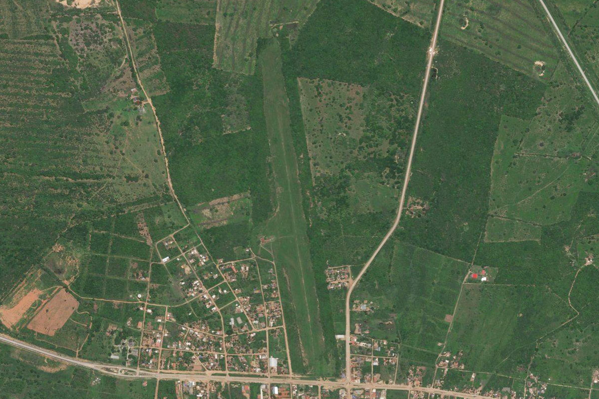
Follow the highway southwest towards the town of Acreúna. The airport is just before the town on the north side of the highway
Leg 5
Flying from SJER
Leg Distance: 45.42 Approximate time at 125kts: 22 minutes.
SJER(SJER) to Santo Antonio da Barra(POI11)
Distance: 19.11NM Bearing: 255° 9 minutes
After takeoff, fly over the town and follow the highway southwest to the next town, Santo Antônio da Barra
Santo Antonio da Barra(POI11) to Rio Verde(POI12)
Distance: 22.56NM Bearing: 252° 11 minutes
Continue southwest to the large town of Rio Verde
Rio Verde(POI12) to SWLC(SWLC)
Distance: 3.75NM Bearing: 242° 2 minutes
Head to the airport south of the town
Leg 6
Flying from SWLC
Leg Distance: 49.03 Approximate time at 125kts: 24 minutes.
SWLC(SWLC) to Jatai(POI13)
Distance: 44.53NM Bearing: 286° 21 minutes
Follow the highway west to the next major town, Jataí
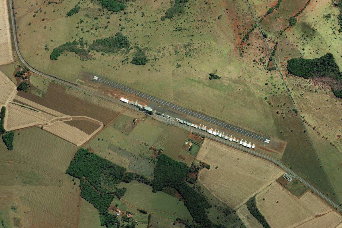
Jatai(POI13) to SWJW(SWJW)
Distance: 4.5NM Bearing: 348° 2 minutes
Jataí airport is next to the road leading northwest from the town
Leg 7
Flying from SWJW
Leg Distance: 49.39 Approximate time at 125kts: 24 minutes.
SWJW(SWJW) to BR-364(POI14)
Distance: 6.68NM Bearing: 272° 3 minutes
After takeoff, head west over the river before meeting up with a minor highway heading northwest
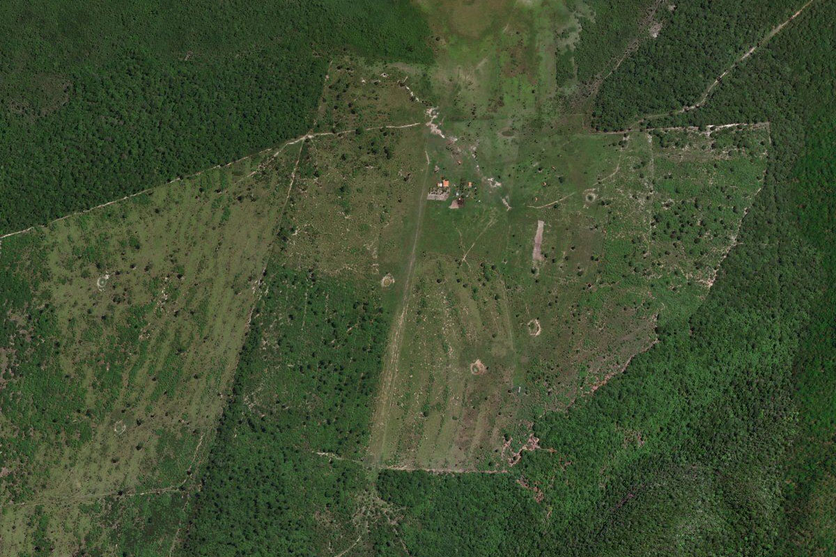
BR-364(POI14) to SWME(SWME)
Distance: 42.71NM Bearing: 317° 21 minutes
Follow the highway northwest to the large town of Mineiros, and the airport in the northern part of the town
Leg 8
Flying from SWME
Leg Distance: 36.45 Approximate time at 125kts: 17 minutes.
SWME(SWME) to Parque Nacional das Emas(POI15)
Distance: 24.58NM Bearing: 242° 12 minutes
After takeoff, head southwest across the farmland until you reach the darker area of land, which is the savanna of Emas National Park, a World Heritage site and home to giant anteaters, maned wolves, giant armadillos, pampas deer, grey rhea and a small population of jaguars
Parque Nacional das Emas(POI15) to Parque Nacional das Emas(POI16)
Distance: 9.71NM Bearing: 273° 5 minutes
Fly west along the northern edge of the national park
Parque Nacional das Emas(POI16) to SW1X(SW1X)
Distance: 2.16NM Bearing: 323° 1 minutes
A couple of miles northwest from the corner of the national park is a small farm airstrip
Leg 9
Flying from SW1X
Leg Distance: 50.65 Approximate time at 125kts: 24 minutes.
SW1X(SW1X) to Rio Furna(POI17)
Distance: 20.07NM Bearing: 264° 10 minutes
After takeoff, head west to the shallow valley and the small mesa-like mountain at it's western entrance
Rio Furna(POI17) to Parque Natural Municipal Templo dos Pilares(POI18)
Distance: 20.54NM Bearing: 269° 10 minutes
Continue west to another mesa-like mountain
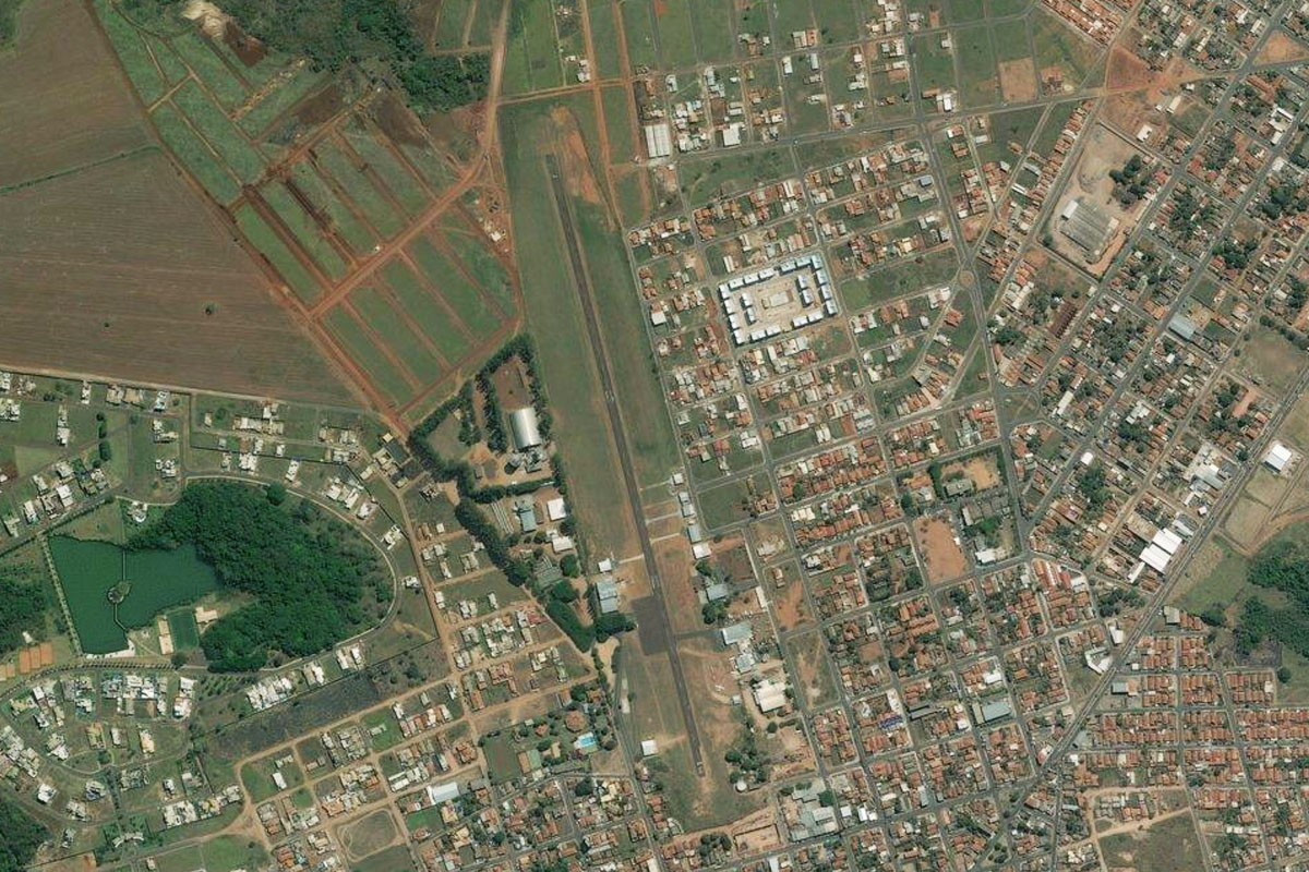
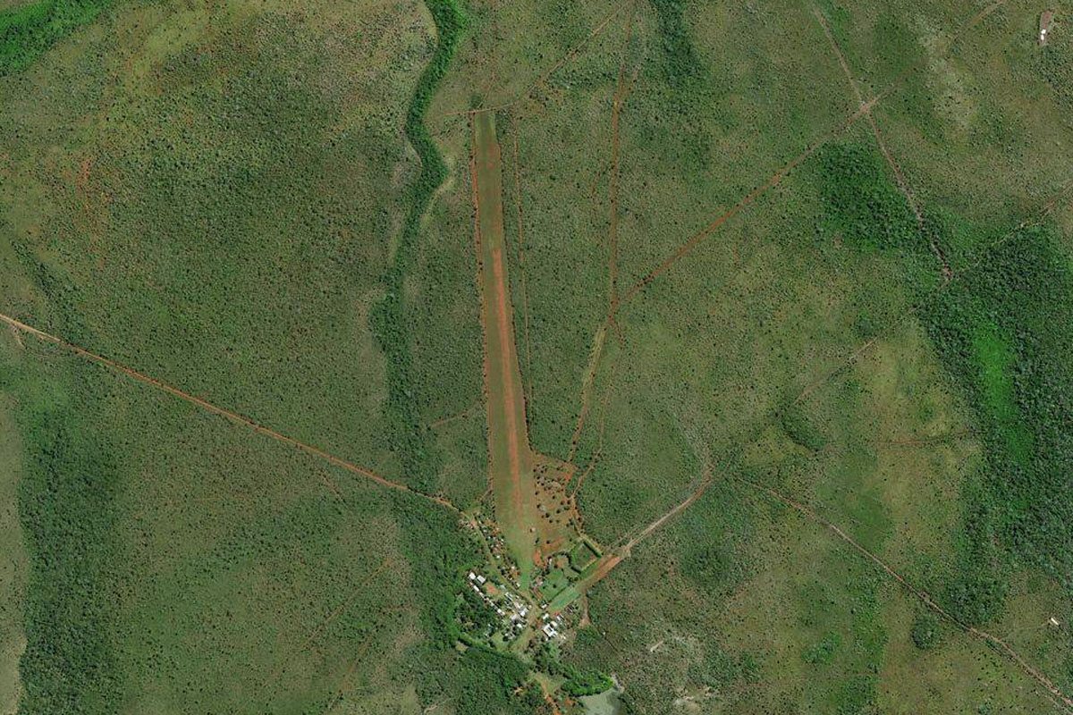
Parque Natural Municipal Templo dos Pilares(POI18) to SWHM(SWHM)
Distance: 10.04NM Bearing: 190° 5 minutes
From the mountain, turn south and head towards the airstrip a couple of miles east of the town of Alcinópolis.
Leg 10
Flying from SWHM
Leg Distance: 65.78 Approximate time at 125kts: 32 minutes.
SWHM(SWHM) to Alcinopolis(POI19)
Distance: 8.31NM Bearing: 277° 4 minutes
Fly west over the town then follow the highway west from there
Alcinopolis(POI19) to BR-359(POI20)
Distance: 12.22NM Bearing: 318° 6 minutes
Follow the highway northwest
BR-359(POI20) to BR-359(POI21)
Distance: 22.39NM Bearing: 277° 11 minutes
Keep following the highway west
BR-359(POI21) to Coxim(POI22)
Distance: 18.51NM Bearing: 254° 9 minutes
Follow the highway southwest until you near the river town of Coxim
Coxim(POI22) to SSCI(SSCI)
Distance: 4.35NM Bearing: 306° 2 minutes
The airport is just northeast of the town
Leg 11
Flying from SSCI
Leg Distance: 47.81 Approximate time at 125kts: 23 minutes.
SSCI(SSCI) to Rio Taquari(POI23)
Distance: 2.53NM Bearing: 277° 1 minutes
After takeoff, head west to meet the Taquari River which will lead you into the world's largest tropical wetland, the Pantanal
Rio Taquari(POI23) to Rio Taquari(POI24)
Distance: 26NM Bearing: 325° 12 minutes
Follow the river northwest
Rio Taquari(POI24) to SSDV(SSDV)
Distance: 19.28NM Bearing: 292° 9 minutes
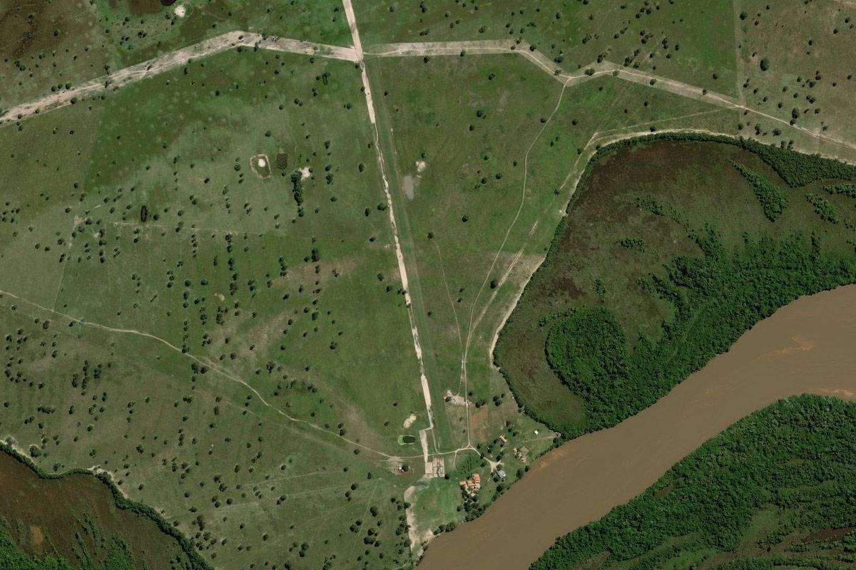
Keep following the river as it turns to the west, where you will soon reach the landing strip on the river's north bank
Leg 12
Flying from SSDV
Leg Distance: 76.33 Approximate time at 125kts: 37 minutes.
SSDV(SSDV) to Rio Taquari(POI25)
Distance: 21.47NM Bearing: 288° 10 minutes
After takeoff, continue west along the river
Rio Taquari(POI25) to Rio Taquari(POI26)
Distance: 48.19NM Bearing: 271° 23 minutes
Continue west with the river. When you eventually come to an area with a couple of small settlements and a small lake next to the river, turn west
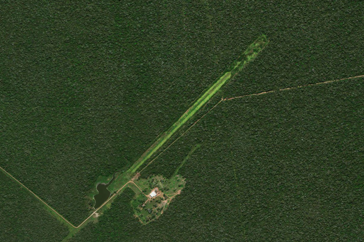
Rio Taquari(POI26) to SJZO(SJZO)
Distance: 6.67NM Bearing: 288° 3 minutes
Head west to the farm airstrip, which sits in a clearing 6 miles west of the river
Leg 13
Flying from SJZO
Leg Distance: 51.04 Approximate time at 125kts: 24 minutes.
SJZO(SJZO) to Paraguay River(POI27)
Distance: 34.4NM Bearing: 296° 17 minutes
Fly northwest across the wetlands until you reach the Paraguay River
Paraguay River(POI27) to Baia Vermelha(POI28)
Distance: 11.45NM Bearing: 300° 5 minutes
Continue to the northwestern edge of the lake
Baia Vermelha(POI28) to SITN(SITN)
Distance: 5.19NM Bearing: 18° 2 minutes
Turning north and crossing a small mountain ridge will bring you to another farm airstrip on the southern shore of Lake Mandioré
Leg 14
Flying from SITN
Leg Distance: 46.75 Approximate time at 125kts: 22 minutes.
SITN(SITN) to Laguna Mandiore(POI29)
Distance: 12.69NM Bearing: 4° 6 minutes
After takeoff, head north into Bolivia and to the northern end of the lake
Laguna Mandiore(POI29) to Area Natural de Manejo Integrado San Matias(POI30)
Distance: 30.71NM Bearing: 274° 15 minutes
Turn and head west over the group of small mountains, then over the flat land beyond
Area Natural de Manejo Integrado San Matias(POI30) to SLRX(SLRX)
Distance: 3.35NM Bearing: 234° 2 minutes
As you approach a wide shallow hill, look for the small settlement and grass airstrip to your south
Leg 15
Flying from SLRX
Leg Distance: 38.23 Approximate time at 125kts: 18 minutes.
SLRX(SLRX) to El Retiro(POI31)
Distance: 14.48NM Bearing: 273° 7 minutes
After takeoff, head west and cross over the narrow mountain ridge
El Retiro(POI31) to Cerro San Juan(POI32)
Distance: 11.23NM Bearing: 228° 5 minutes
After crossing the ridge, turn southwest and cross the next group of mountains
Cerro San Juan(POI32) to SL1X(SL1X)
Distance: 12.52NM Bearing: 275° 6 minutes
Once you cross the mountains, you should be near a small lake. Turn west and head to the large dirt airstrip cut into the forest
Leg 16
Flying from SL1X
Leg Distance: 52.43 Approximate time at 125kts: 25 minutes.
SL1X(SL1X) to Serrania de Santiago(POI33)
Distance: 19.16NM Bearing: 273° 9 minutes
After takeoff, head west until you reach the mountain ridge
Serrania de Santiago(POI33) to Santiago de Chiquitos(POI34)
Distance: 29.74NM Bearing: 309° 14 minutes
Follow the mountain ridge northwest until you reach the town of Santiago de Chiquitos on the south side of the ridge
Santiago de Chiquitos(POI34) to SLSQ(SLSQ)
Distance: 3.53NM Bearing: 281° 2 minutes
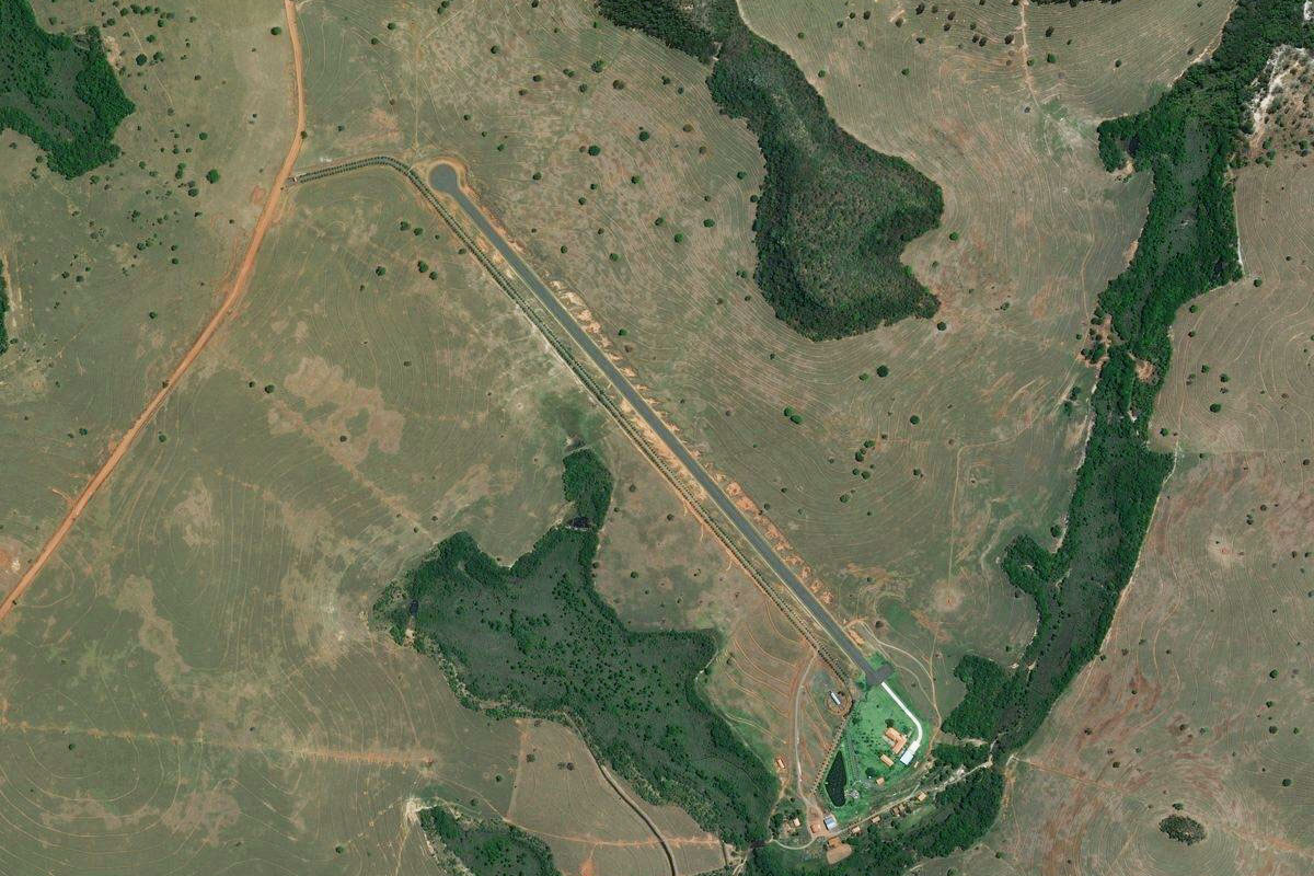
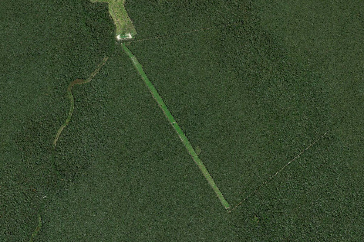
The dirt airstrip is in a forest clearing on the southern edge of the town
Leg 17
Flying from SLSQ
Leg Distance: 74.06 Approximate time at 125kts: 36 minutes.
SLSQ(SLSQ) to Robore(POI35)
Distance: 10.13NM Bearing: 294° 5 minutes
Fly west over the town of Robore to meet up with the highway heading northwest
Robore(POI35) to Chochis(POI36)
Distance: 23.2NM Bearing: 325° 11 minutes
Follow the highway northwest past the town of Chochis where it heads down a mountain pass to lower land
Chochis(POI36) to San Juan de Taperas(POI37)
Distance: 21.14NM Bearing: 319° 10 minutes
Continue northwest with the highway
San Juan de Taperas(POI37) to SLJE(SLJE)
Distance: 19.59NM Bearing: 295° 9 minutes
The highway will run west alongside the mountains to the town of San José de Chiquitos. The airport is on the north side of town
Leg 18
Flying from SLJE
Leg Distance: 46.99 Approximate time at 125kts: 23 minutes.
SLJE(SLJE) to Quimome(POI38)
Distance: 25.83NM Bearing: 302° 12 minutes
After takeoff, head back to the highway and follow it northwest
Quimome(POI38) to Serrania El Picacho(POI39)
Distance: 2.91NM Bearing: 271° 1 minutes
At the town of Quimome, the highway will turn west between the hills
Serrania El Picacho(POI39) to El Cerro(POI40)
Distance: 16.82NM Bearing: 316° 8 minutes
Fly northwest and follow the dirt road along the base of the hills
El Cerro(POI40) to SL2X(SL2X)
Distance: 1.43NM Bearing: 270° 1 minutes
Keep an eye our for the large grass airstrip cut into the forest just south of the hills
Leg 19
Flying from SL2X
Leg Distance: 51.39 Approximate time at 125kts: 25 minutes.
SL2X(SL2X) to Tunas Nuevo(POI41)
Distance: 14.85NM Bearing: 275° 7 minutes
Fly west back to the highway
Tunas Nuevo(POI41) to SLNL(SLNL)
Distance: 36.54NM Bearing: 287° 18 minutes
Follow the highway west past the endless crop fields until you reach the grass airstrip half a mile south of the road
Leg 20
Flying from SLNL
Leg Distance: 56.5 Approximate time at 125kts: 27 minutes.
SLNL(SLNL) to Nueva Belen(POI42)
Distance: 15.97NM Bearing: 286° 8 minutes
Continue west along the highway until it intersects with highway F4 near the town of Nueva Belen
Nueva Belen(POI42) to Pailon(POI43)
Distance: 5.1NM Bearing: 228° 2 minutes
Follow the highway southwest to the next town, Pailon, where it will turn west and cross the river
Pailon(POI43) to Santa Cruz de la Sierra(POI44)
Distance: 26.89NM Bearing: 268° 13 minutes
Head west across the Rio Grande and to the center of Bolivia's largest city, Santa Cruz de la Sierra
Santa Cruz de la Sierra(POI44) to SLVR(SLVR)
Distance: 8.54NM Bearing: 29° 4 minutes
Head north to the city's international airport, and the destination for this stage