This stage of the journey takes you alongside the Andes Mountains in Bolivia, through important biosphere reserves and national parks such as Beni and Madidi, before crossing into Peru and Manu National Park. The last part of the journey will take you south into the Andes Mountains to one of the New Seven Wonders of the World, the Incan citadel of Machu Picchu, before heading to the ancient Incan capital of Cusco, a modern day tourist hotspot
Total Legs: 14 Total Distance: 927 Total Time(125kts): 7 hours 24 minutes
Leg 1
Flying from SLVR
Leg Distance: 78.9 Approximate time at 125kts: 38 minutes.
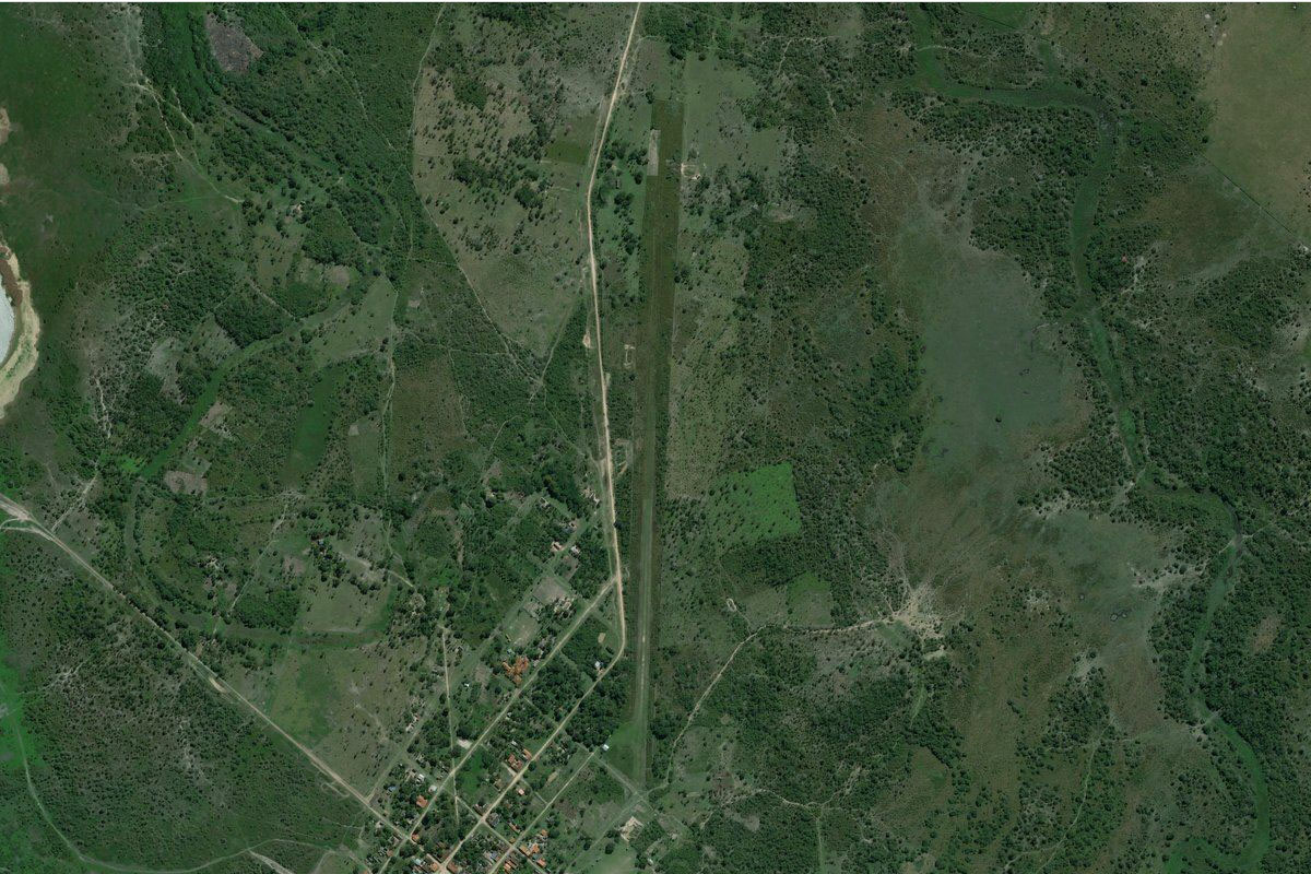
SLVR(SLVR) to Rio Surutu(POI1)
Distance: 25.78NM Bearing: 283° 12 minutes
After takeoff, head west towards the distant Andes mountains, crossing over a few rivers along the way. A few miles before you reach the foothills, join the Surutú River heading northwest
Rio Surutu(POI1) to Rio Surutu(POI2)
Distance: 10.95NM Bearing: 342° 5 minutes
Follow the Surutú River northwest
Rio Surutu(POI2) to Yapacani(POI3)
Distance: 9.56NM Bearing: 315° 5 minutes
Keep following the river northwest as it turns to the town of Yapacaní
Yapacani(POI3) to Yapacani(POI4)
Distance: 4.34NM Bearing: 284° 2 minutes
Head west over the town and follow the highway leading west
Yapacani(POI4) to Puerto Avaroa(POI5)
Distance: 18.1NM Bearing: 305° 9 minutes
Keep following the highway as it continues northwest
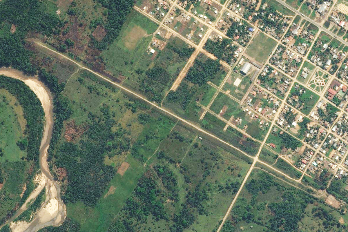
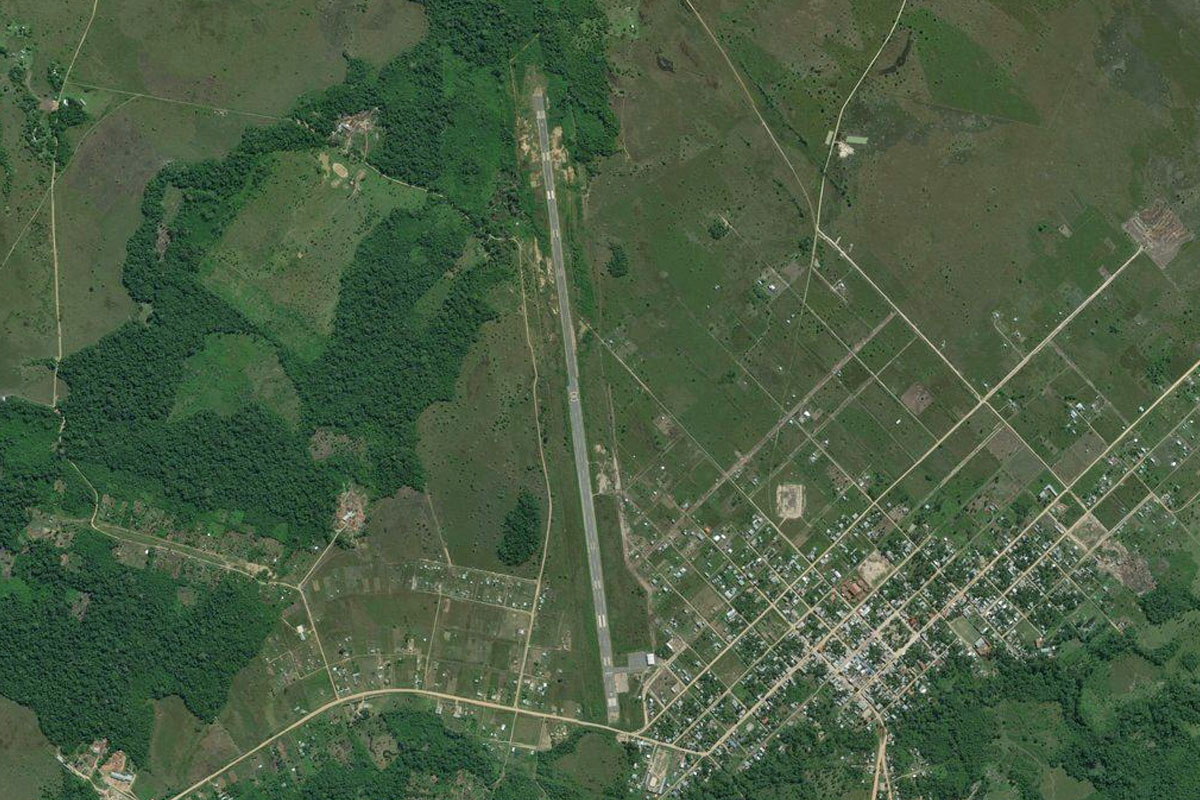
Puerto Avaroa(POI5) to SLBB(SLBB)
Distance: 10.17NM Bearing: 294° 5 minutes
The highway will meet the river at the town of Bulo Bulo, with the airport on the southern edge of town
Leg 2
Flying from SLBB
Leg Distance: 48.38 Approximate time at 125kts: 23 minutes.
SLBB(SLBB) to Entre Rios(POI6)
Distance: 10.16NM Bearing: 301° 5 minutes
After takeoff, continue following the highway northwest to the town of Entre Ríos
Entre Rios(POI6) to Rio Sajta(POI7)
Distance: 16.55NM Bearing: 304° 8 minutes
The highway will continue northwest, crossing the Sajta River
Rio Sajta(POI7) to Ivirgarzama(POI8)
Distance: 5.54NM Bearing: 332° 3 minutes
Keep following the highway as it turns northwest to the larger town of Ivirgarzama
Ivirgarzama(POI8) to SLHI(SLHI)
Distance: 16.13NM Bearing: 294° 8 minutes
The highway will turn west, leading you to the town of Chimoré on the Chimoré River. The airport is between the river and the town
Leg 3
Flying from SLHI
Leg Distance: 45.52 Approximate time at 125kts: 22 minutes.
SLHI(SLHI) to Puerto Aurora(POI9)
Distance: 8.23NM Bearing: 354° 4 minutes
Fly north (runway heading) until you reach the small town of Puerto Aurora on the Chapare River
Puerto Aurora(POI9) to Rio Chipiri(POI10)
Distance: 15.02NM Bearing: 355° 7 minutes
Keep heading in the same northerly direction until you reach the larger Chipiri River
Rio Chipiri(POI10) to Rio Chipiri(POI11)
Distance: 18.32NM Bearing: 19° 9 minutes
Follow the river's many twists and turns as it heads north to eventually meet the Isiboro River
Rio Chipiri(POI11) to Rio Isiboro(POI12)
Distance: 2.4NM Bearing: 48° 1 minutes
Follow the Isiboro River northeast for a couple of miles to its junction with a smaller river
Rio Isiboro(POI12) to SLCQ(SLCQ)
Distance: 1.55NM Bearing: 86° 1 minutes
Just east over the river junction is Isibore airfield
Leg 4
Flying from SLCQ
Leg Distance: 53.5 Approximate time at 125kts: 26 minutes.
SLCQ(SLCQ) to Rio Isiboro(POI13)
Distance: 29.67NM Bearing: 9° 14 minutes
After takeoff, head north and follow the twisting Isiboro River
Rio Isiboro(POI13) to Rio Secure(POI14)
Distance: 10.03NM Bearing: 318° 5 minutes
After the river circles its way around a small lake, turn northwest
Rio Secure(POI14) to SLLZ(SLLZ)
Distance: 13.8NM Bearing: 314° 7 minutes
After crossing the Sécure River, continue northwest to the small town of San Lorenzo. The airfield is at the northern end of town which sits east of a semi-dry lake
Leg 5
Flying from SLLZ
Leg Distance: 35.58 Approximate time at 125kts: 17 minutes.
SLLZ(SLLZ) to Rio Tijamuchi(POI15)
Distance: 8.02NM Bearing: 1° 4 minutes
After takeoff head north, briefly alongside the Tijamuchi River until it turns away to the northeast
Rio Tijamuchi(POI15) to San Ignacio de Moxos(POI16)
Distance: 25.33NM Bearing: 3° 12 minutes
Continue north until you reach the town of San Ignacio de Moxos, which lies on the eastern edge of Isirere Lagoon
San Ignacio de Moxos(POI16) to SLSM(SLSM)
Distance: 2.23NM Bearing: 27° 1 minutes
The airport is just north of the town
Leg 6
Flying from SLSM
Leg Distance: 66.49 Approximate time at 125kts: 32 minutes.
SLSM(SLSM) to F3(POI17)
Distance: 12.07NM Bearing: 279° 6 minutes
After takeoff, head west past the lagoon to meet the highway heading northwest
F3(POI17) to F3(POI18)
Distance: 19.71NM Bearing: 309° 9 minutes
Follow the highway northwest
F3(POI18) to San Borja(POI19)
Distance: 31.32NM Bearing: 278° 15 minutes
The highway will turn back to the west and lead to the town of San Borja. North of the highway lies the Beni Biological Station Biosphere Reserve, home to more than 500 bird species
San Borja(POI19) to SLSB(SLSB)
Distance: 3.39NM Bearing: 286° 2 minutes
The airport lies in the eastern part of the town
Leg 7
Flying from SLSB
Leg Distance: 59.54 Approximate time at 125kts: 29 minutes.
SLSB(SLSB) to Villa Aroma(POI20)
Distance: 21.67NM Bearing: 274° 10 minutes
Fly west towards the mountains. A few miles east of the foothills, you will meet a highway heading northwest alongside the mountains
Villa Aroma(POI20) to Nueva Esperanza(POI21)
Distance: 27.78NM Bearing: 341° 13 minutes
Follow the highway northwest along the base of the Andes Mountains
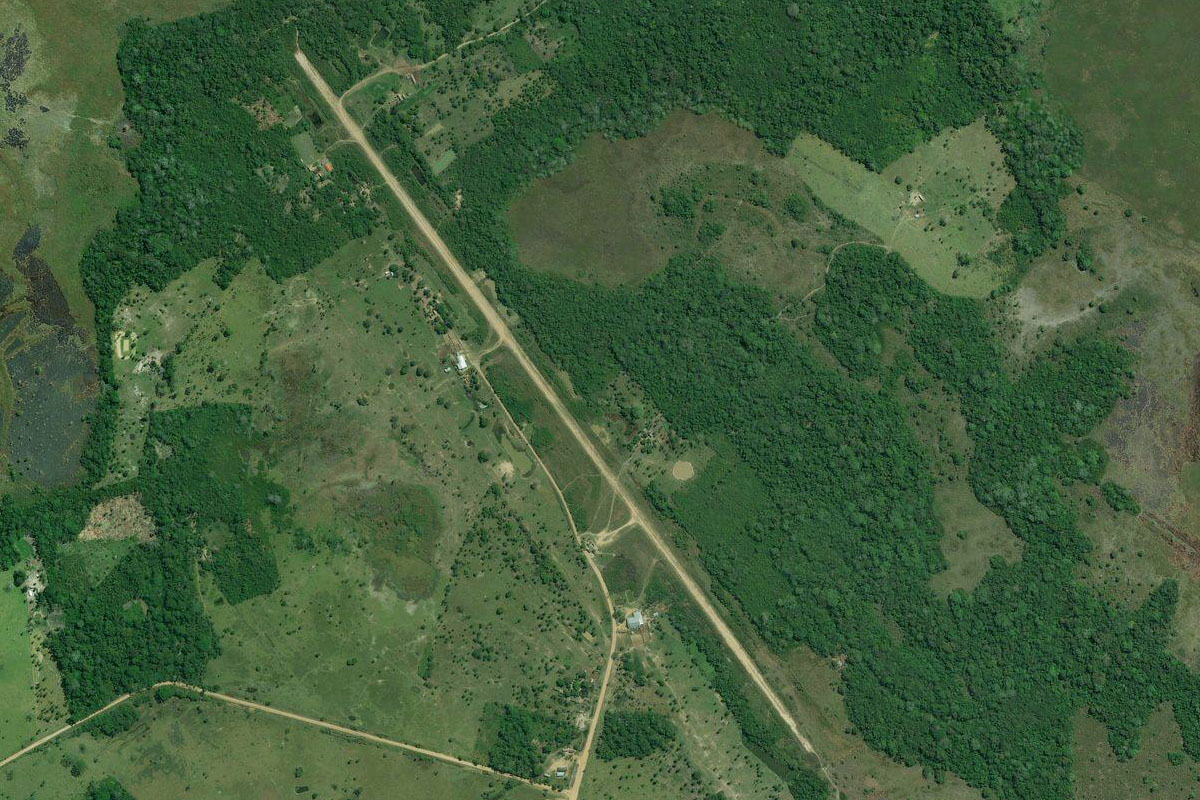
Nueva Esperanza(POI21) to SLRU(SLRU)
Distance: 10.09NM Bearing: 307° 5 minutes
Keep following the highway as it turns northwest to the town of Rurrenabaque, known locally as 'Rurre' and is the gateway to the Madidi National Park and the Yungas eco region
Leg 8
Flying from SLRU
Leg Distance: 56.34 Approximate time at 125kts: 27 minutes.
SLRU(SLRU) to San Isidro(POI22)
Distance: 8.03NM Bearing: 295° 4 minutes
After takeoff, fly west over the Beni River and follow the road heading west along the base of the mountains
San Isidro(POI22) to Tumupasa(POI23)
Distance: 20.66NM Bearing: 328° 10 minutes
Continue northwest along the foot of the mountains
Tumupasa(POI23) to Nueva Eden(POI24)
Distance: 20.43NM Bearing: 333° 10 minutes
Continue northwest with the road
Nueva Eden(POI24) to SLIX(SLIX)
Distance: 7.22NM Bearing: 345° 3 minutes
When the road turns west to cross the Enapurera River, continue northwest to the town of Ixiamas, and the airport on its western side
Leg 9
Flying from SLIX
Leg Distance: 93.85 Approximate time at 125kts: 45 minutes.
SLIX(SLIX) to Rio Undumo(POI25)
Distance: 13.05NM Bearing: 328° 6 minutes
After takeoff, fly northwest across the jungle to the Undumo River, the first of many river crossings
Rio Undumo(POI25) to Rio Claro(POI26)
Distance: 17.06NM Bearing: 328° 8 minutes
Continue northwest crossing two more rivers, mostly hidden beneath the trees
Rio Claro(POI26) to Rio Madidi(POI27)
Distance: 7.28NM Bearing: 328° 3 minutes
Not long after the Claro River, you'll cross the Madidi River as you head into the northern region of Madidi National Park
Rio Madidi(POI27) to Rio Heath(POI28)
Distance: 26.47NM Bearing: 328° 13 minutes
The next river crossing will be the Heath River, which will take you into Peru
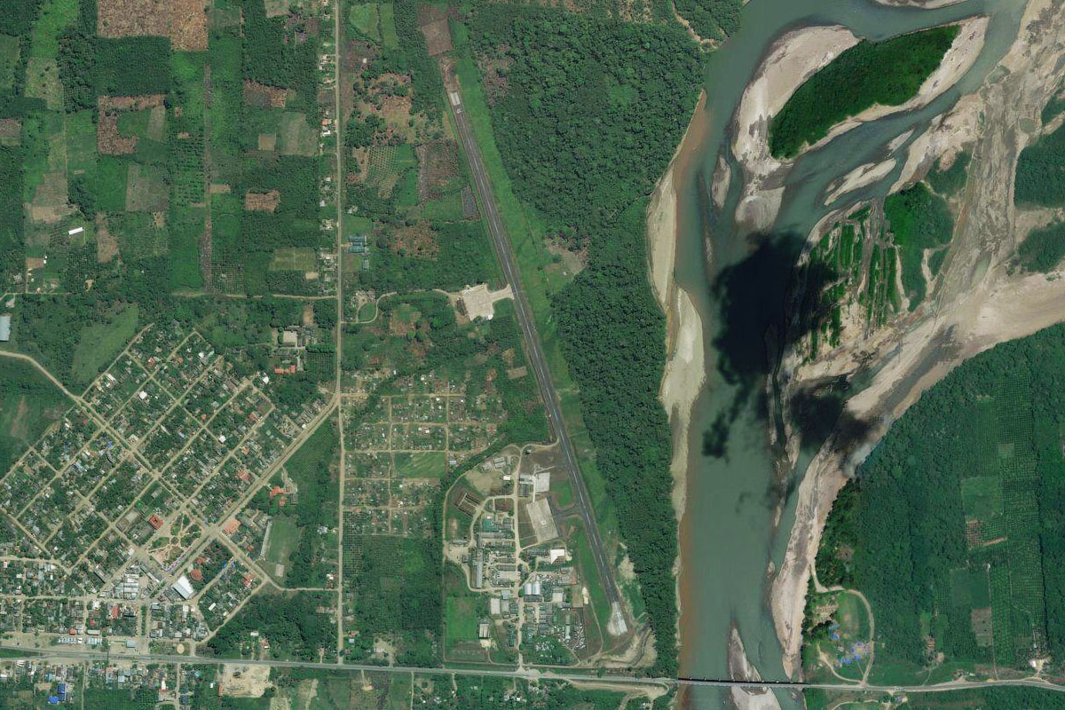
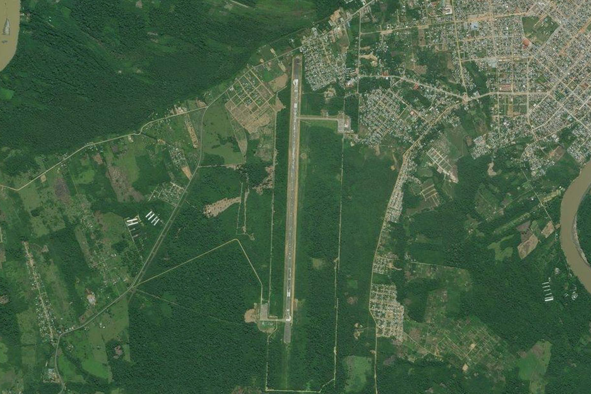
Rio Heath(POI28) to SPTU(SPTU)
Distance: 29.99NM Bearing: 326° 14 minutes
Continue northwest over the Tambopata National Reserve, to the city of Puerto Maldonado on the Madre de Dios River, which eventually runs into the Amazon River. The airport is on the southwest side of the city
Leg 10
Flying from SPTU
Leg Distance: 38.16 Approximate time at 125kts: 18 minutes.
SPTU(SPTU) to Rio Madre de Dios(POI29)
Distance: 15.63NM Bearing: 274° 8 minutes
After takeoff, head west with the Madre de Dios River
Rio Madre de Dios(POI29) to Lagarto Nuevo(POI30)
Distance: 15.1NM Bearing: 262° 7 minutes
At the junction with the Inambari River, follow the Madre de Dios River northwest
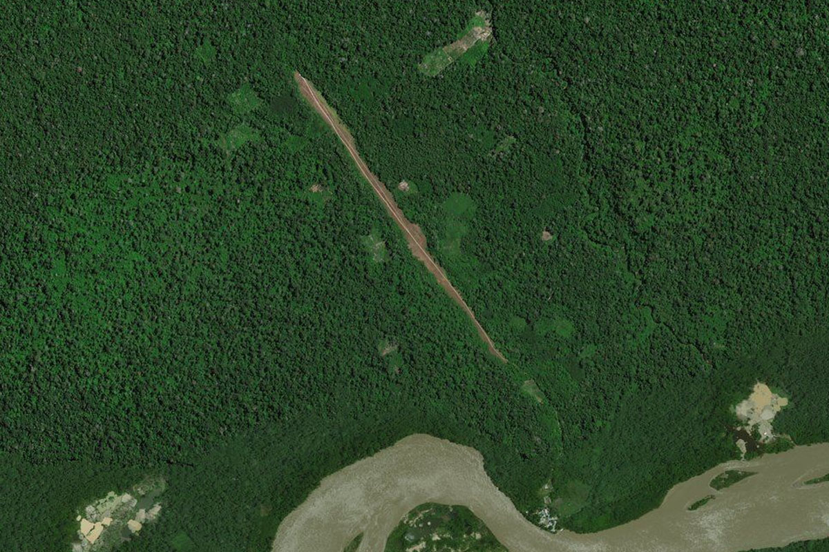
Lagarto Nuevo(POI30) to SP2A(SP2A)
Distance: 7.43NM Bearing: 318° 4 minutes
After a few turns, you should see the airfield cut into the forest north of the river, near the small village of Lagarto Nuevo
Leg 11
Flying from SP2A
Leg Distance: 68.47 Approximate time at 125kts: 33 minutes.
SP2A(SP2A) to Boca Colorado(POI31)
Distance: 33.07NM Bearing: 283° 16 minutes
Head back to the river and continue west
Boca Colorado(POI31) to Rio Madre de Dios(POI32)
Distance: 29.45NM Bearing: 318° 14 minutes
At the river junction, take the northwest fork
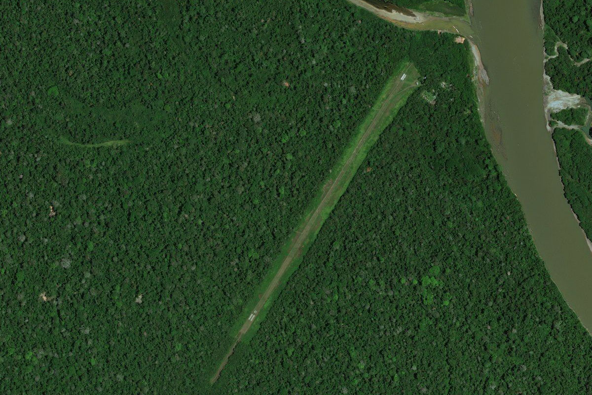
Rio Madre de Dios(POI32) to SPNU(SPNU)
Distance: 5.95NM Bearing: 280° 3 minutes
As the river turns west to the small town of Boca Manu, you should see the airport on the south bank. Be sure to check your fuel for the next leg, which is a longer one
Leg 12
Flying from SPNU
Leg Distance: 129.04 Approximate time at 125kts: 62 minutes.
SPNU(SPNU) to Parque Nacional del Manu(POI33)
Distance: 35.29NM Bearing: 274° 17 minutes
After takeoff, head west over the jungle of the Manu National Park and Biosphere Reserve until you reach the foothills of the mountains
Parque Nacional del Manu(POI33) to Parque Nacional del Manu(POI34)
Distance: 22.85NM Bearing: 313° 11 minutes
Fly northwest along the foothills of the mountains
Parque Nacional del Manu(POI34) to Parque Nacional del Manu(POI35)
Distance: 17.5NM Bearing: 308° 8 minutes
Keep flying northwest along the foothills, following a series of parallel ridges also heading northwest
Parque Nacional del Manu(POI35) to Rio Camisea(POI36)
Distance: 22.27NM Bearing: 295° 11 minutes
As the foothills curve slightly around to the west, stay south of the northernmost ridge, and you will soon meet the Camisea River, also heading west
Rio Camisea(POI36) to Rio Camisea(POI37)
Distance: 27.55NM Bearing: 282° 13 minutes
Follow the river west until it nears the larger Urubamba River
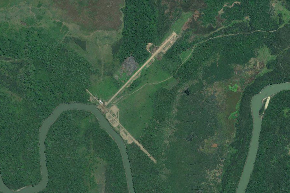
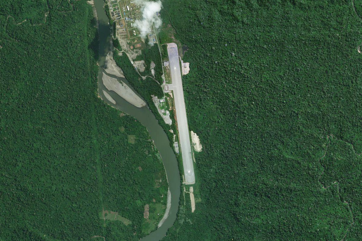
Rio Camisea(POI37) to SPWT(SPWT)
Distance: 3.58NM Bearing: 234° 2 minutes
Following the River south will lead you to an airport serving a nearby natural gas facility
Leg 13
Flying from SPWT
Leg Distance: 56.78 Approximate time at 125kts: 27 minutes.
SPWT(SPWT) to Timpia(POI38)
Distance: 15.04NM Bearing: 162° 7 minutes
After takeoff, follow the Urubamba River south towards the mountains
Timpia(POI38) to Rio Urubamba(POI39)
Distance: 9.9NM Bearing: 184° 5 minutes
Keep following the river as it passes south through a gap in the mountains
Rio Urubamba(POI39) to Pachiri(POI40)
Distance: 12.46NM Bearing: 211° 6 minutes
Follow the river as it cuts its way southwest through the mountains
Pachiri(POI40) to Ivochote(POI41)
Distance: 8.32NM Bearing: 241° 4 minutes
Keep following the river southwest
Ivochote(POI41) to Rio Kepashiato(POI42)
Distance: 7.87NM Bearing: 215° 4 minutes
The river will make a sharp left and right turn before continuing southwest to a junction with the smaller Kepashiato River
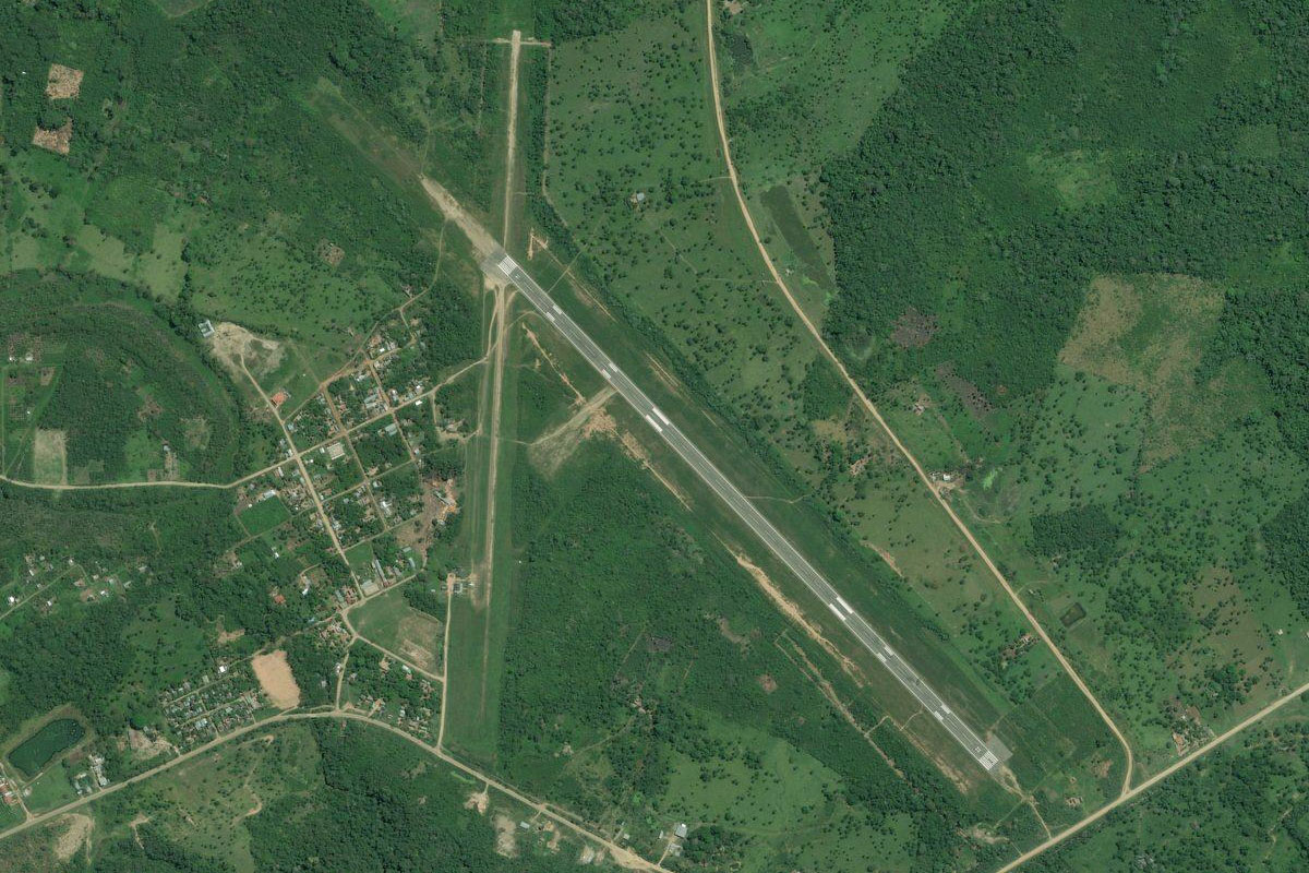
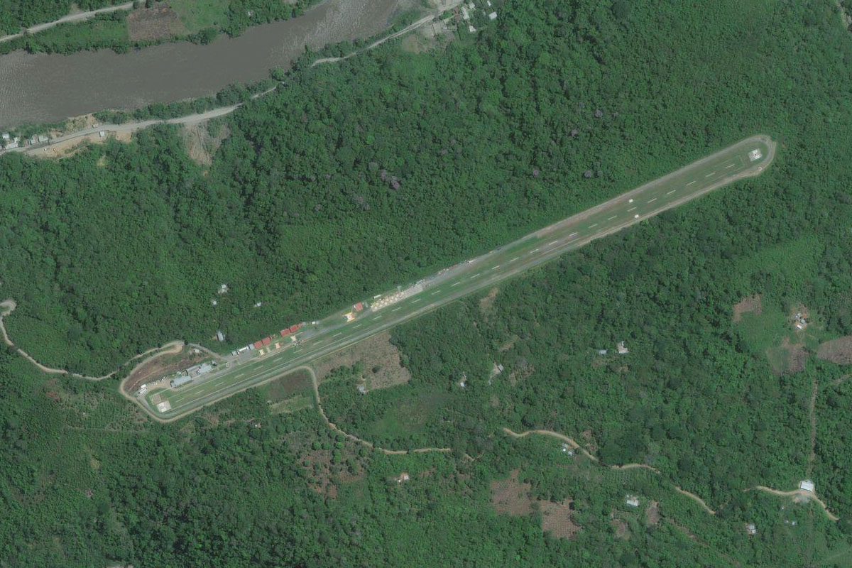
Rio Kepashiato(POI42) to SPKI(SPKI)
Distance: 3.19NM Bearing: 115° 2 minutes
At the junction, turn around to the east to the town of Kiteni, and the airport high on the right side of the valley
Leg 14
Flying from SPKI
Leg Distance: 95.99 Approximate time at 125kts: 46 minutes.
SPKI(SPKI) to Rio Urabamba(POI43)
Distance: 5.34NM Bearing: 69° 3 minutes
After takeoff, follow the valley northeast for a few miles, then turn right at the first valley junction you meet
Rio Urabamba(POI43) to Quillabamba(POI44)
Distance: 21.44NM Bearing: 142° 10 minutes
Follow the river briefly southeast, then continue in that direction over the mountains before reaching the town of Quillabamba in a deep valley
Quillabamba(POI44) to Santa Teresa(POI45)
Distance: 17.33NM Bearing: 166° 8 minutes
From Quillabamba, follow the valley south in the direction of the tallest peak in the distance, Salcantay. When you reach a large 4-way valley junction, continue south
Santa Teresa(POI45) to Machu Picchu(POI46)
Distance: 3.37NM Bearing: 133° 2 minutes
When you reach another river junction at the small town of Santa Teresa, turn south east and fly over the mountain ridge, revealing the ancient wonder of Machu Picchu of the next ridge
Machu Picchu(POI46) to Kente(POI47)
Distance: 8.04NM Bearing: 125° 4 minutes
From Machu Picchu, continue southwest following the Urabamba through the deep valley
Kente(POI47) to Palomar(POI48)
Distance: 4.23NM Bearing: 88° 2 minutes
Head east along the valley as it starts to widen, which allows some farming activity
Palomar(POI48) to Pachar(POI49)
Distance: 8.61NM Bearing: 120° 4 minutes
Continue southeast along the valley. As you see the valley open out ahead, look out for a narrow canyon to your right, and make the sharp turn south into the canyon
Pachar(POI49) to Soqma(POI50)
Distance: 2.46NM Bearing: 213° 1 minutes
Follow the canyon southwest
Soqma(POI50) to Huaracondo(POI51)
Distance: 6.24NM Bearing: 172° 3 minutes
Keep following the canyon south to the town of Huaracondo at its southern end
Huaracondo(POI51) to Markju(POI52)
Distance: 2.54NM Bearing: 182° 1 minutes
After the town, continue south for a few miles to pass the mountain to your left, then turn east
Markju(POI52) to Anta(POI53)
Distance: 6.93NM Bearing: 107° 3 minutes
Follow the roads heading east into a shallow valley
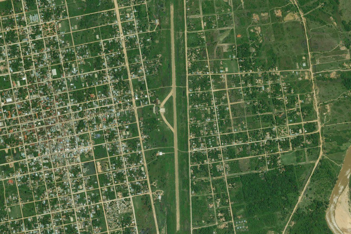
Anta(POI53) to SPZO(SPZO)
Distance: 9.46NM Bearing: 120° 5 minutes
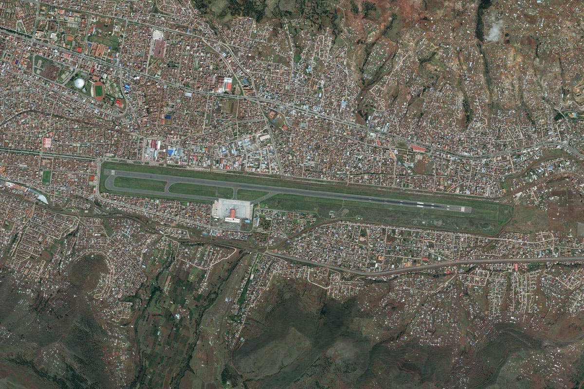
Continue south to the city of Cuzco. This ancient Incan capital and world heritage listed city is also a major tourist destination. The airport is easy to spot in the center of the valley