
Stage 38 explores the Caribbean’s three largest islands – Cuba, Hispaniola and Jamaica. Starting in the Dominican Republic, you will make your way west into Haiti, the most mountainous island in the Caribbean, before continuing west into the island nation of Jamaica – a small nation with a large cultural influence thanks to music legend Bob Marley, and sporting superstar Usain Bolt. You will then head north to Cuba, for a journey along the length of the largest island in the Caribbean to it’s capital city, Havana
Total Legs: 33 Total Distance: 1705 Total Time(125kts): 13 hours 38 minutes
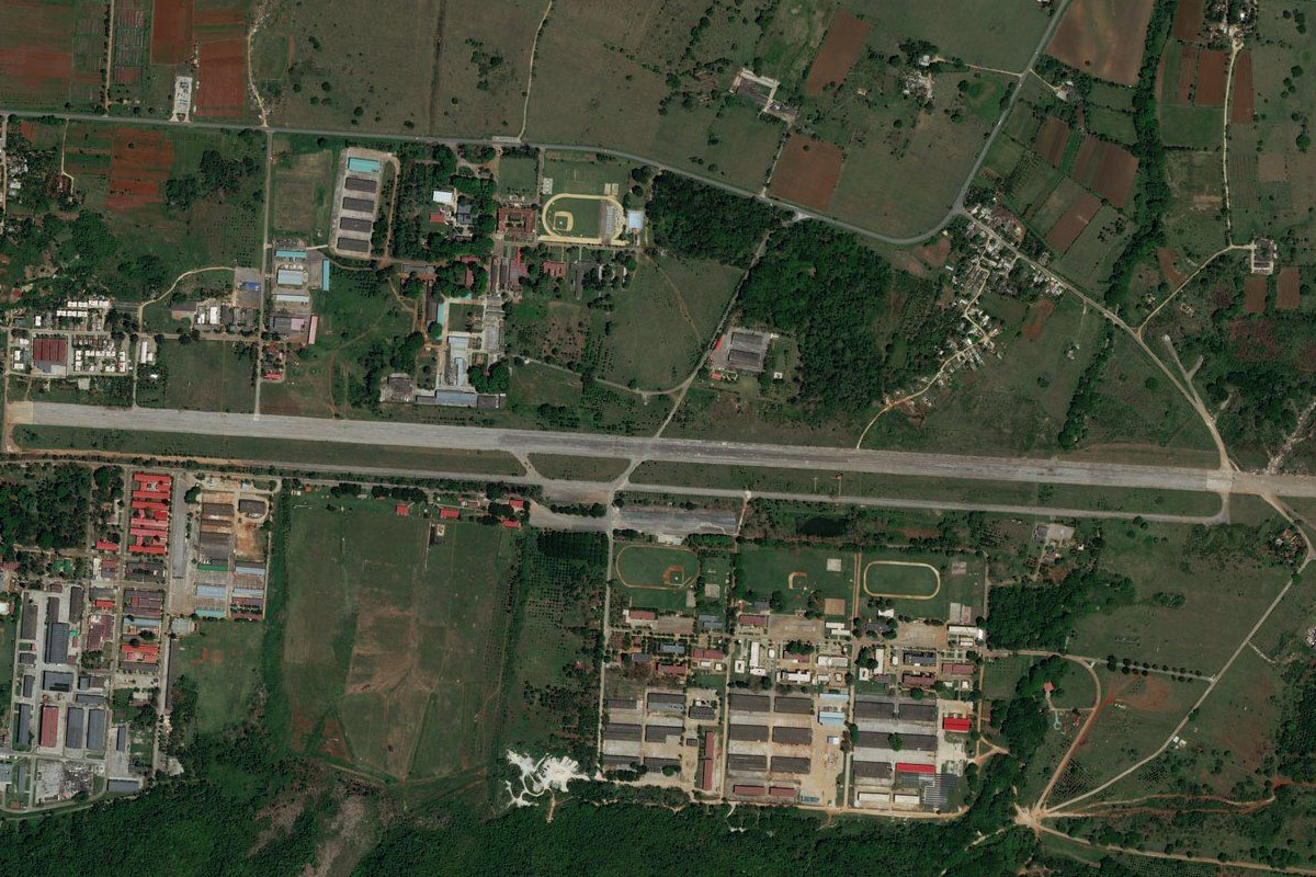
Leg 1
Flying from MDSD
Leg Distance: 71.97 Approximate time at 125kts: 35 minutes.
MDSD(MDSD) to Santo Domingo(POI1)
Distance: 15.27NM Bearing: 292° 7 minutes
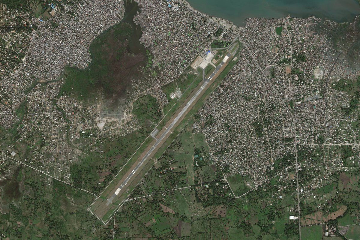
After takeoff, head west to the city of Santo Domingo, capital of the Dominican Republic and one of the oldest cities in the Caribbean. The Colonial Zone near the river mouth houses the Ozama Fortress, a castle more than 500 years old
Santo Domingo(POI1) to Guananito(POI2)
Distance: 21.75NM Bearing: 322° 10 minutes
From the city, head northwest and follow the highway northwest through the Haina River valley
Guananito(POI2) to Bonao(POI3)
Distance: 17.13NM Bearing: 334° 8 minutes
Continue northwest to the city of Bonao, which lays on a flat plain at the foot of the Cordillera Central mountain range
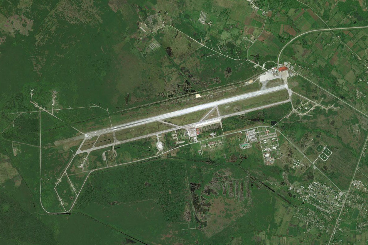
Bonao(POI3) to MDCZ(MDCZ)
Distance: 17.82NM Bearing: 277° 9 minutes
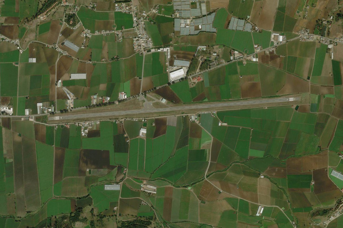
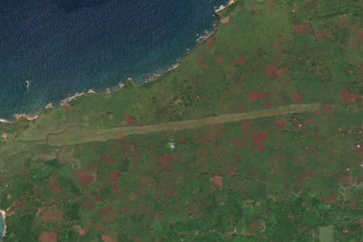
Head west over the mountains to the town of Constanza, and the airport to its east
Leg 2
Flying from MDCZ
Leg Distance: 50.58 Approximate time at 125kts: 24 minutes.
MDCZ(MDCZ) to Rio Grande(POI4)
Distance: 6.61NM Bearing: 278° 3 minutes
After takeoff, head west over the mountain ahead, then briefly follow the Rio Grande west
Rio Grande(POI4) to Embalse de Sabana Yegua(POI5)
Distance: 15.08NM Bearing: 237° 7 minutes
Turn southwest where the river will lead to a reservoir
Embalse de Sabana Yegua(POI5) to Parque Nacional Sierra Martin Garcia(POI6)
Distance: 21.49NM Bearing: 204° 10 minutes
From the reservoir, head south towards the western end of the coastal mountain range, the Sierra Martin Garcia National Park
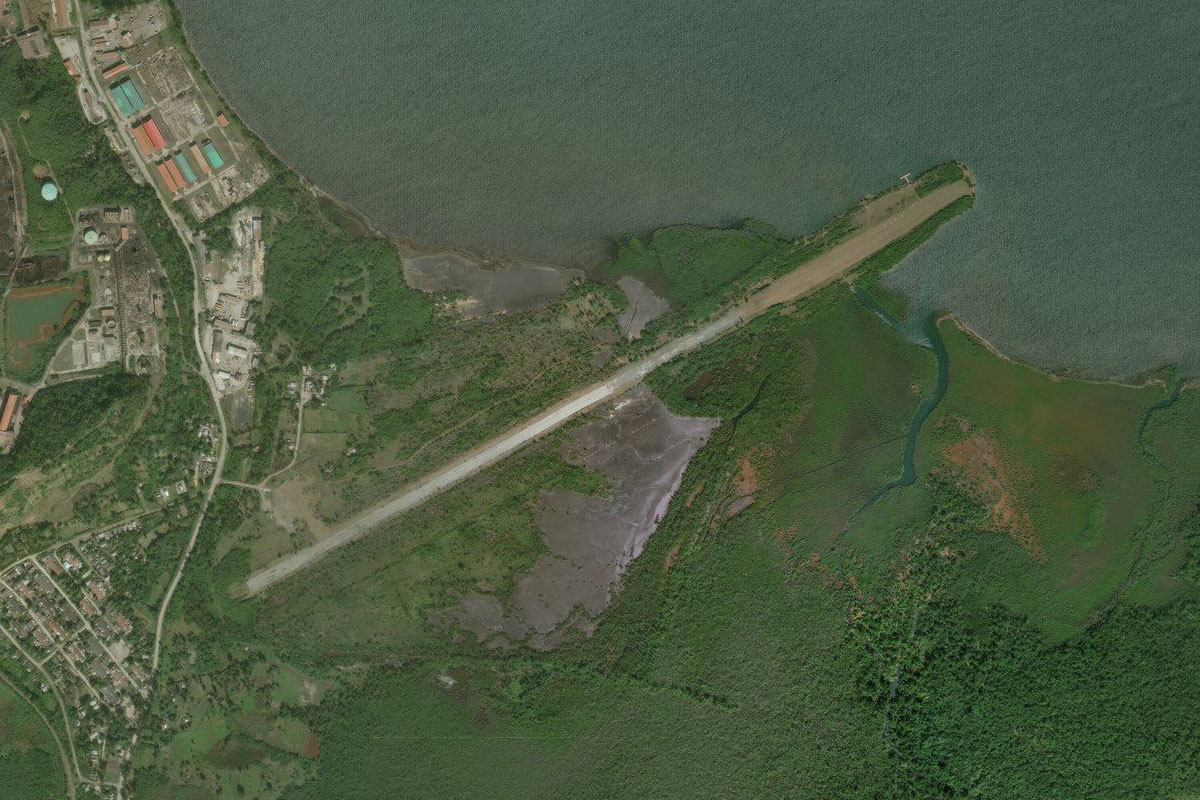
Parque Nacional Sierra Martin Garcia(POI6) to MDBH(MDBH)
Distance: 7.4NM Bearing: 196° 4 minutes
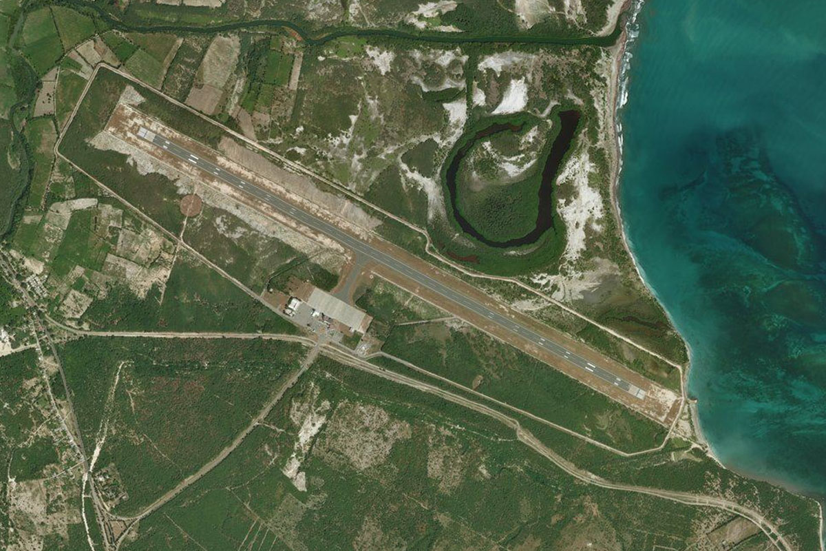
Continue south towards the city of Barahona, where you will meet Maria Montez airport to the north of the city
Leg 3
Flying from MDBH
Leg Distance: 70.57 Approximate time at 125kts: 34 minutes.
MDBH(MDBH) to Lago Enriquillo(POI7)
Distance: 37.41NM Bearing: 305° 18 minutes
After takeoff, head northwest along the wide lowland between the mountain ranges to Lake Enriquillo, the lowest point on the island of Hispaniola at 150 feet below sea level
Lago Enriquillo(POI7) to Etang Saumatre(POI8)
Distance: 17.53NM Bearing: 297° 8 minutes
Continue northwest over the border into Haiti, and Lake Azuéi, which is home to many species of wildlife such as crocodiles and flamingos
Etang Saumatre(POI8) to MTPP(MTPP)
Distance: 15.63NM Bearing: 281° 8 minutes
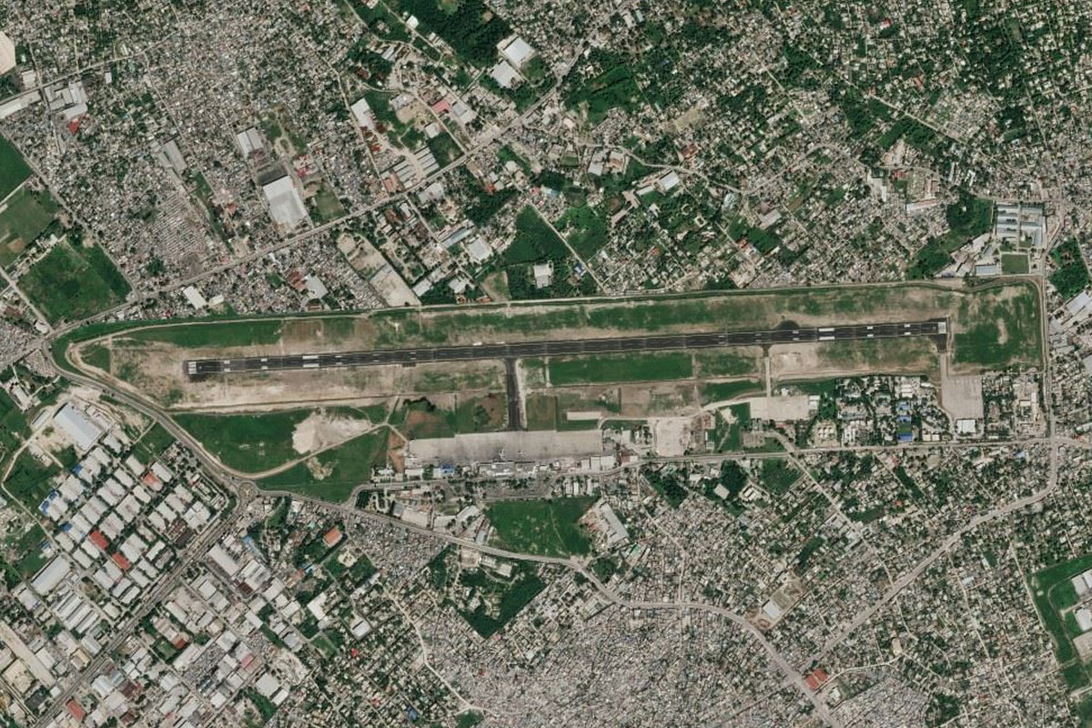
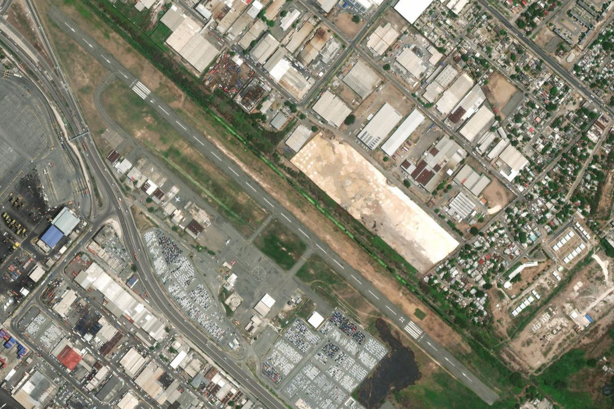
Head west to the city of Port-au-Prince, which suffered catastrophic damage in the 2010 earthquake. The airport is near the city, a couple of miles from the bay
Leg 4
Flying from MTPP
Leg Distance: 43.77 Approximate time at 125kts: 21 minutes.
MTPP(MTPP) to Titanyen(POI9)
Distance: 8.49NM Bearing: 360° 4 minutes
Head north past the edge of the bay until you reach a small highway heading northwest towards the mountains
Titanyen(POI9) to Saut d’Eau(POI10)
Distance: 8.82NM Bearing: 61° 4 minutes
Follow the highway as it turns northeast over the hills to where it reaches an open valley
Saut d’Eau(POI10) to Lac de Peligre(POI11)
Distance: 13.3NM Bearing: 72° 6 minutes
Head northeast to Lake Péligre, which was formed with the construction of Péligre Hydroelectric Dam. The lake sits partly hidden behind a mountain ridge
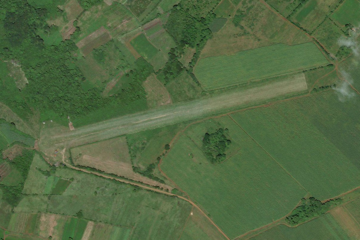
Lac de Peligre(POI11) to MTHI(MTHI)
Distance: 13.16NM Bearing: 6° 6 minutes
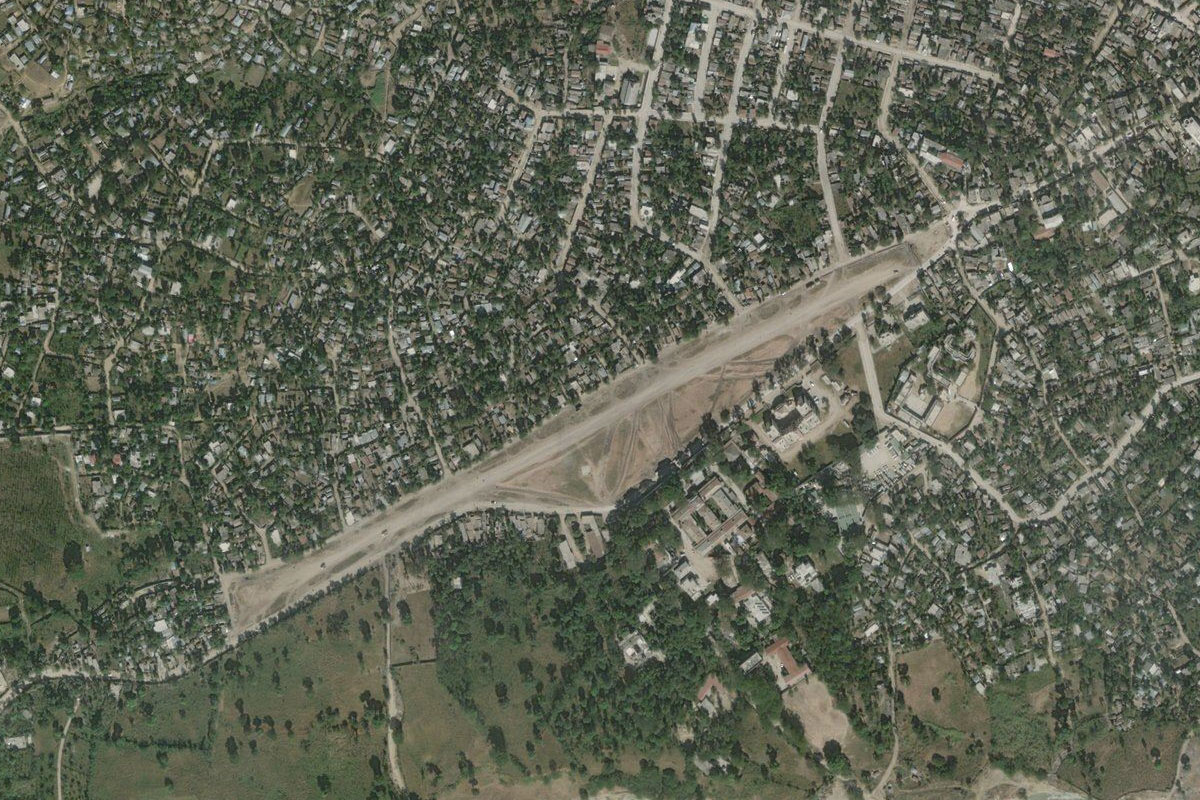
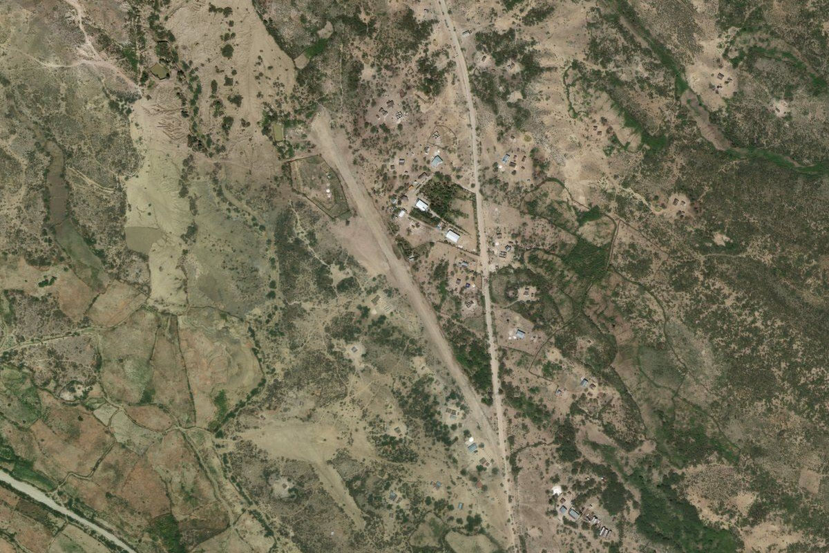
Head north from the lake to the town of Hinche. The dirt runway is near the center of town
Leg 5
Flying from MTHI
Leg Distance: 40.29 Approximate time at 125kts: 19 minutes.
MTHI(MTHI) to Colladere(POI12)
Distance: 7.54NM Bearing: 4° 4 minutes
Fly north, following the road towards the mountains
Colladere(POI12) to Pignon(POI13)
Distance: 6.97NM Bearing: 322° 3 minutes
The road will turn northwest and run alongside the hills to the town of Pignon
Pignon(POI13) to Saint-Raphael(POI14)
Distance: 7.87NM Bearing: 337° 4 minutes
Keep heading northwest across a flat plain towards the mouth of the valley near the town of Saint-Raphael
Saint-Raphael(POI14) to Dondon(POI15)
Distance: 5.14NM Bearing: 346° 2 minutes
Follow the highway north between the hills to the next town of Dondon, which is surrounded by hills
Dondon(POI15) to Citadelle Laferriere(POI16)
Distance: 7.5NM Bearing: 28° 4 minutes
From Dondon, fly northeast alongside the 2 taller mountain peaks. On the first peak you will pass Citadelle Laferrière, a large 19th Century fortress and UNESCO World Heritage Site
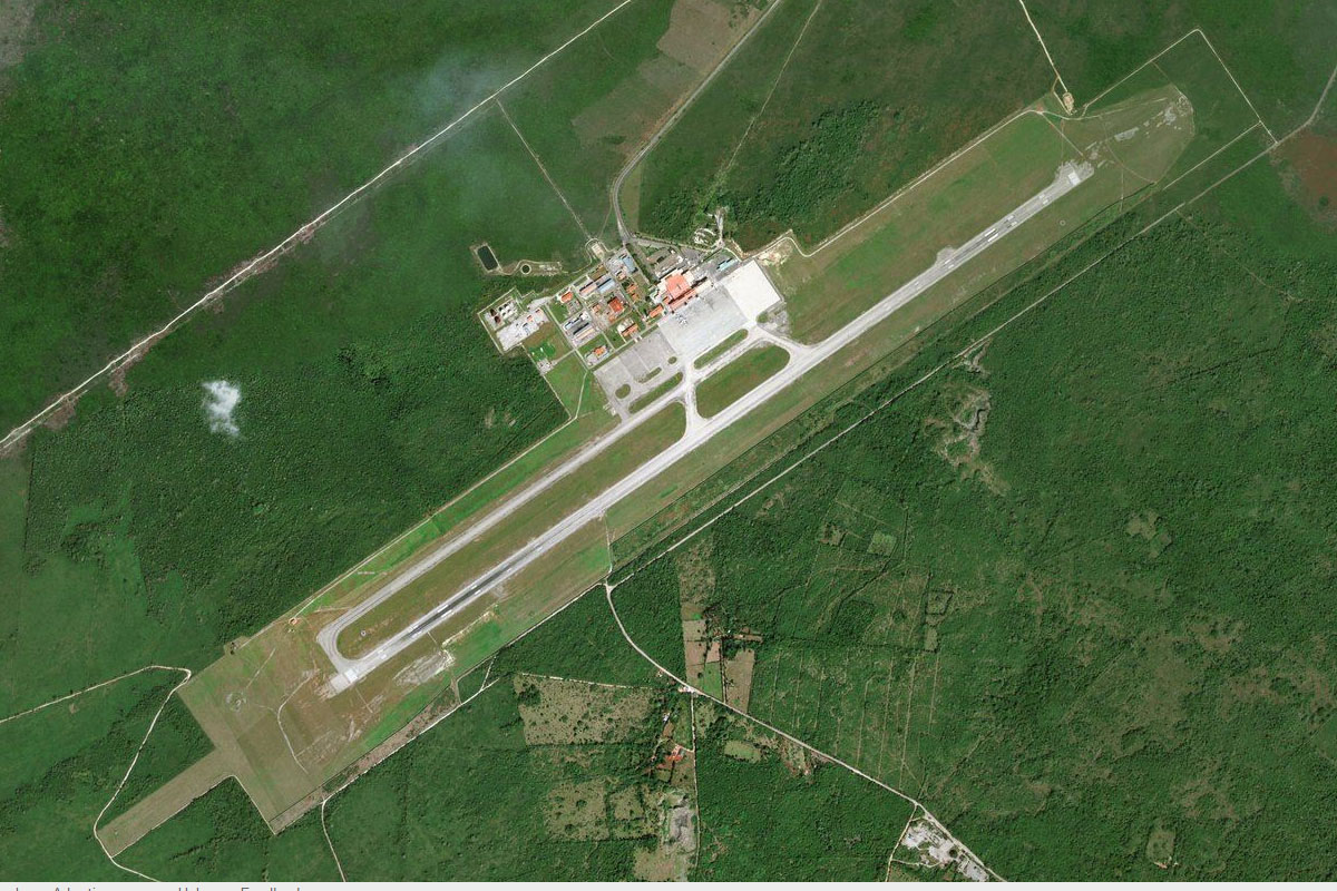
Citadelle Laferriere(POI16) to MTCH(MTCH)
Distance: 5.27NM Bearing: 14° 3 minutes
After clearing the mountains, head north to the city of Cap-Haïtien, and the international airport near the city center
Leg 6
Flying from MTCH
Leg Distance: 62.43 Approximate time at 125kts: 30 minutes.
MTCH(MTCH) to Acul Bay(POI17)
Distance: 7.31NM Bearing: 288° 4 minutes
After takeoff, head west to Acul Bay on the western side of the mountain
Acul Bay(POI17) to Riviere des Barres(POI18)
Distance: 23.57NM Bearing: 308° 11 minutes
Follow the coast northwest to the river mouth just before you reach the town of Saint-Louis-du-Nord
Riviere des Barres(POI18) to Pendu(POI19)
Distance: 8.75NM Bearing: 206° 4 minutes
Follow the river south into the mountains, then continue over the lowest point to the southern side of the range
Pendu(POI19) to Morne Piton(POI20)
Distance: 9.46NM Bearing: 228° 5 minutes
Turn southwest and head to the left of the taller part of the coastal mountain range
Morne Piton(POI20) to MTAS(MTAS)
Distance: 13.34NM Bearing: 282° 6 minutes
Once clear of the mountains, head west to the north side of a group of low coastal hills, and the small airstrip a couple of miles northwest of the coastal town of Anse-Rouge
Leg 7
Flying from MTAS
Leg Distance: 51.97 Approximate time at 125kts: 25 minutes.
MTAS(MTAS) to Ile de la Gonave(POI21)
Distance: 49.59NM Bearing: 180° 24 minutes
After takeoff, head south across the bay to the large Gonave Island
Ile de la Gonave(POI21) to MTAN(MTAN)
Distance: 2.38NM Bearing: 118° 1 minutes
Follow the north shore of the island east to the small airport near the town of Anse-a-Galets
Leg 8
Flying from MTAN
Leg Distance: 71.76 Approximate time at 125kts: 34 minutes.
MTAN(MTAN) to Picmi(POI22)
Distance: 7.09NM Bearing: 182° 3 minutes
Fly to the southern side of the island
Picmi(POI22) to Miragoane(POI23)
Distance: 21.1NM Bearing: 229° 10 minutes
Fly southwest across the Gonave Gulf to the town of Miragoâne on the north coast of the Tiburon Peninsula
Miragoane(POI23) to Aquin(POI24)
Distance: 19.3NM Bearing: 246° 9 minutes
Continue southwest to the south coast of the peninsula
Aquin(POI24) to Les Cayes(POI25)
Distance: 16.88NM Bearing: 272° 8 minutes
Follow the coast and its many bays west along the peninsula
Les Cayes(POI25) to MTCA(MTCA)
Distance: 7.39NM Bearing: 300° 4 minutes
As the coast turns southwest to the town of Les Cayes, head northwest to the airport a few miles inland
Leg 9
Flying from MTCA
Leg Distance: 56.45 Approximate time at 125kts: 27 minutes.
MTCA(MTCA) to Ravine du Sud(POI26)
Distance: 7.59NM Bearing: 327° 4 minutes
After takeoff, head northwest to meet the ravine river
Ravine du Sud(POI26) to Parc National Pic Macaya(POI27)
Distance: 8.55NM Bearing: 283° 4 minutes
The river will turn west and climb through a valley to the twin mountain peaks in Pic Macaya National Park
Parc National Pic Macaya(POI27) to Tiburon(POI28)
Distance: 21.07NM Bearing: 273° 10 minutes
From the peaks, descend and follow the Tiburon River west to the coast
Tiburon(POI28) to Baie de Bigie(POI29)
Distance: 7.13NM Bearing: 330° 3 minutes
Follow the coast northwest
Baie de Bigie(POI29) to MTDA(MTDA)
Distance: 12.11NM Bearing: 25° 6 minutes
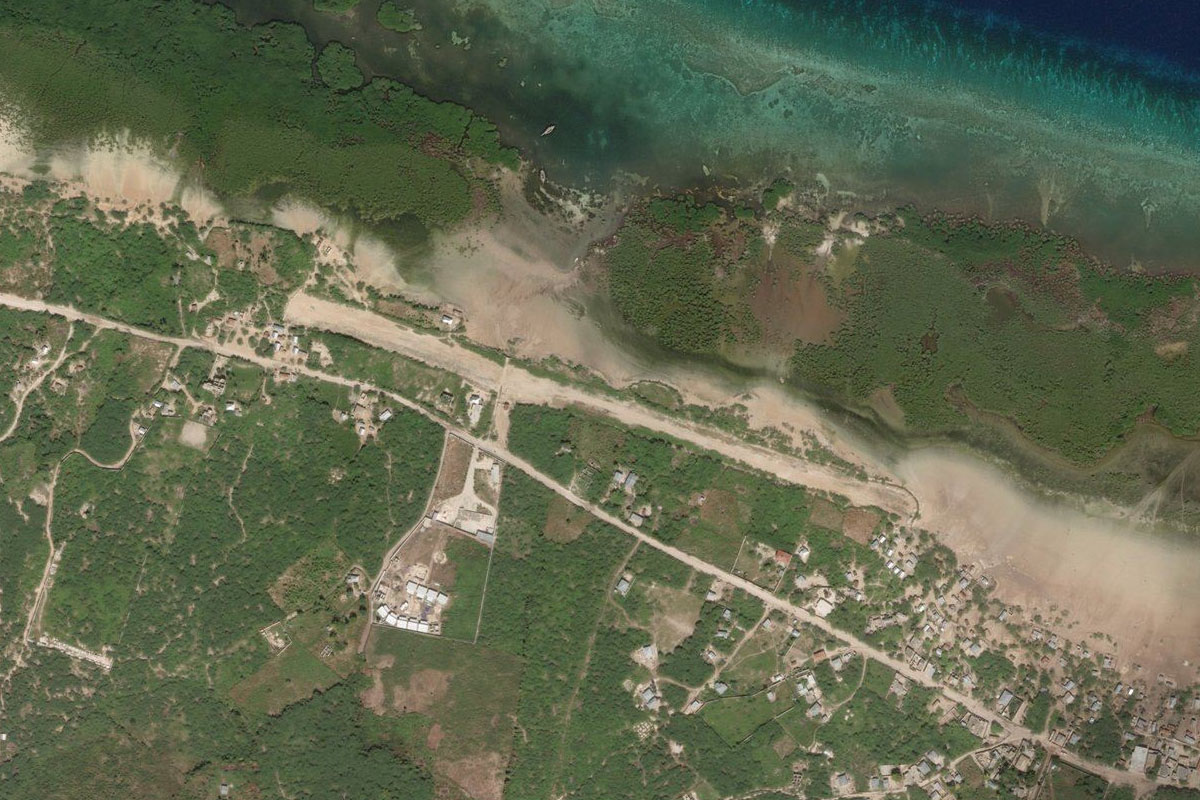
Follow the coast northeast past the large town of Dame-Marie, to the airstrip on the northwestern corner of the peninsula
Leg 10
Flying from MTDA
Leg Distance: 127.36 Approximate time at 125kts: 61 minutes.
MTDA(MTDA) to l’ile de la Navasse(POI30)
Distance: 36.18NM Bearing: 259° 17 minutes
After takeoff, head west to the small uninhabited Navassa Island
l’ile de la Navasse(POI30) to Jamaica(POI31)
Distance: 76.04NM Bearing: 266° 36 minutes
Fly west towards the distant mountains and the east coast of Jamaica
Jamaica(POI31) to Kings Point(POI32)
Distance: 4.68NM Bearing: 331° 2 minutes
Follow the coast northwest
Kings Point(POI32) to Blue Lagoon(POI33)
Distance: 6.75NM Bearing: 296° 3 minutes
Continue west along the coast past a number of picturesque small bays, one being the popular local attraction of the Blue Lagoon
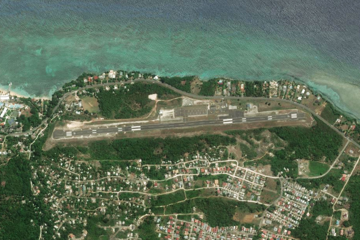
Blue Lagoon(POI33) to MKKJ(MKKJ)
Distance: 3.71NM Bearing: 281° 2 minutes
Fly west across the headland to the small airport next to the shore

Leg 11
Flying from MKKJ
Leg Distance: 38.83 Approximate time at 125kts: 19 minutes.
MKKJ(MKKJ) to Buff Bay(POI34)
Distance: 7.33NM Bearing: 296° 4 minutes
Fly west along the coast to the town of Buff Bay, where two rivers meet the sea
Buff Bay(POI34) to Buff Bay River(POI35)
Distance: 5.95NM Bearing: 222° 3 minutes
From Buff Bay turn southwest and follow the left river into the mountains
Buff Bay River(POI35) to Blue and John Crow Mountains National Park(POI36)
Distance: 3.09NM Bearing: 185° 1 minutes
Follow the river valley south through the national park
Blue and John Crow Mountains National Park(POI36) to Silver Hill Gap(POI37)
Distance: 1.64NM Bearing: 125° 1 minutes
Take the left valley fork and keep climbing southeast to the pass at Silver Hill Gap
Silver Hill Gap(POI37) to Ramble(POI38)
Distance: 7.71NM Bearing: 158° 4 minutes
Descend with the valley southeast down the southern side of the mountains
Ramble(POI38) to Bull Bay(POI39)
Distance: 3.77NM Bearing: 241° 2 minutes
As the terrain falls away to the south, head southwest to the coast
Bull Bay(POI39) to Kingston(POI40)
Distance: 6.58NM Bearing: 291° 3 minutes
Follow the coast west to the capital city, Kingston
Kingston(POI40) to MKTP(MKTP)
Distance: 2.76NM Bearing: 310° 1 minutes
Head northwest to Tinson Pen Aerodrome, which is just north of the city's main port area
Leg 12
Flying from MKTP
Leg Distance: 42.77 Approximate time at 125kts: 21 minutes.
MKTP(MKTP) to Port Royal(POI41)
Distance: 3.28NM Bearing: 206° 2 minutes
After takeoff, fly south to the village of Port Royal, at the harbour entrance. The original town, famous for it's relation to Pirate lore, was mostly destroyed by an earthquake and tsunami, and now lies as an underwater ruin
Port Royal(POI41) to Hellshire(POI42)
Distance: 12.09NM Bearing: 269° 6 minutes
Head west across the low lying Hellshire Hills
Hellshire(POI42) to May Pen(POI43)
Distance: 18.12NM Bearing: 292° 9 minutes
Fly west across the northern end of the bay, then continue west along the highway as it passes to the south of May Pen, before continuing west towards a large open valley
May Pen(POI43) to MKWI(MKWI)
Distance: 9.28NM Bearing: 320° 4 minutes
Head northwest along the shallow valley, where you will reach Kirkvine airstrip sitting next to water treatment facility near the southern end of a large hill
Leg 13
Flying from MKWI
Leg Distance: 36.97 Approximate time at 125kts: 18 minutes.
MKWI(MKWI) to Balaclava(POI44)
Distance: 11.08NM Bearing: 315° 5 minutes
After takeoff, head to the left of the large hill north of the airport, then continue northwest along the valley
Balaclava(POI44) to Cockpit Country(POI45)
Distance: 17.51NM Bearing: 315° 8 minutes
Continue northwest over a region of hilly rainforest known as Cockpit Country
Cockpit Country(POI45) to MKJS(MKJS)
Distance: 8.38NM Bearing: 353° 4 minutes
When you catch sight of the city of Montego Bay on the north coast, head to Sangster Intl airport on the north side of the city
Leg 14
Flying from MKJS
Leg Distance: 54.18 Approximate time at 125kts: 26 minutes.
MKJS(MKJS) to Falmouth(POI46)
Distance: 14.45NM Bearing: 100° 7 minutes
After takeoff, head east along Jamaica's north coast
Falmouth(POI46) to Ocho Rios(POI47)
Distance: 31.43NM Bearing: 107° 15 minutes
Continue east along the coast past the resort town and cruise terminal at Ocho Rios
Ocho Rios(POI47) to MKBS(MKBS)
Distance: 8.3NM Bearing: 102° 4 minutes
Continuing east, you will soon see Boscobel airport next to the shore
Leg 15
Flying from MKBS
Leg Distance: 95.82 Approximate time at 125kts: 46 minutes.
MKBS(MKBS) to Goldeneye(POI48)
Distance: 1.78NM Bearing: 85° 1 minutes
After takeoff, fly east over the bay. On the eastern side of the bay is James Bond Beach, filming site of the famous beach from the James Bond movie, Dr. No. A little further east is the former home of Bond author, Ian Fleming, which is now a resort
Goldeneye(POI48) to Pico Turquino(POI49)
Distance: 91.28NM Bearing: 12° 44 minutes
Turn and head north for the 90 mile crossing across the Caribbean Sea to Cuba. Head for Pico Turquino, Cuba's tallest point, as it comes into view
Pico Turquino(POI49) to MUBT(MUBT)
Distance: 2.76NM Bearing: 87° 1 minutes
When you reach the coast at the base of Pico Turquino, head east to the small airstrip beside the road
Leg 16
Flying from MUBT
Leg Distance: 54.09 Approximate time at 125kts: 26 minutes.
MUBT(MUBT) to Sierra Maestra(POI50)
Distance: 29.21NM Bearing: 93° 14 minutes
Follow the coast east along the base of the Sierra Maestra mountain range
Sierra Maestra(POI50) to Sierra Maestra(POI51)
Distance: 18.88NM Bearing: 103° 9 minutes
Continue east along the coast, where the mountains will soon give way to the city of Santiago de Cuba
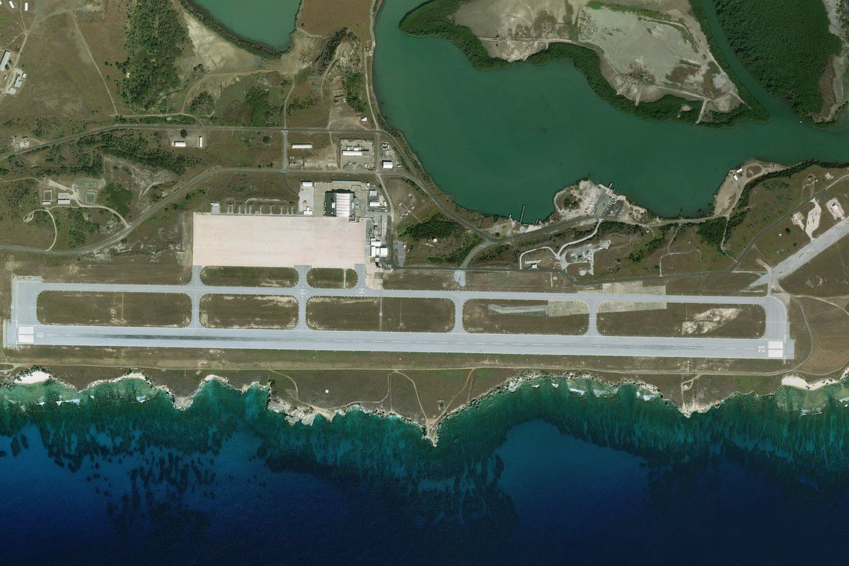
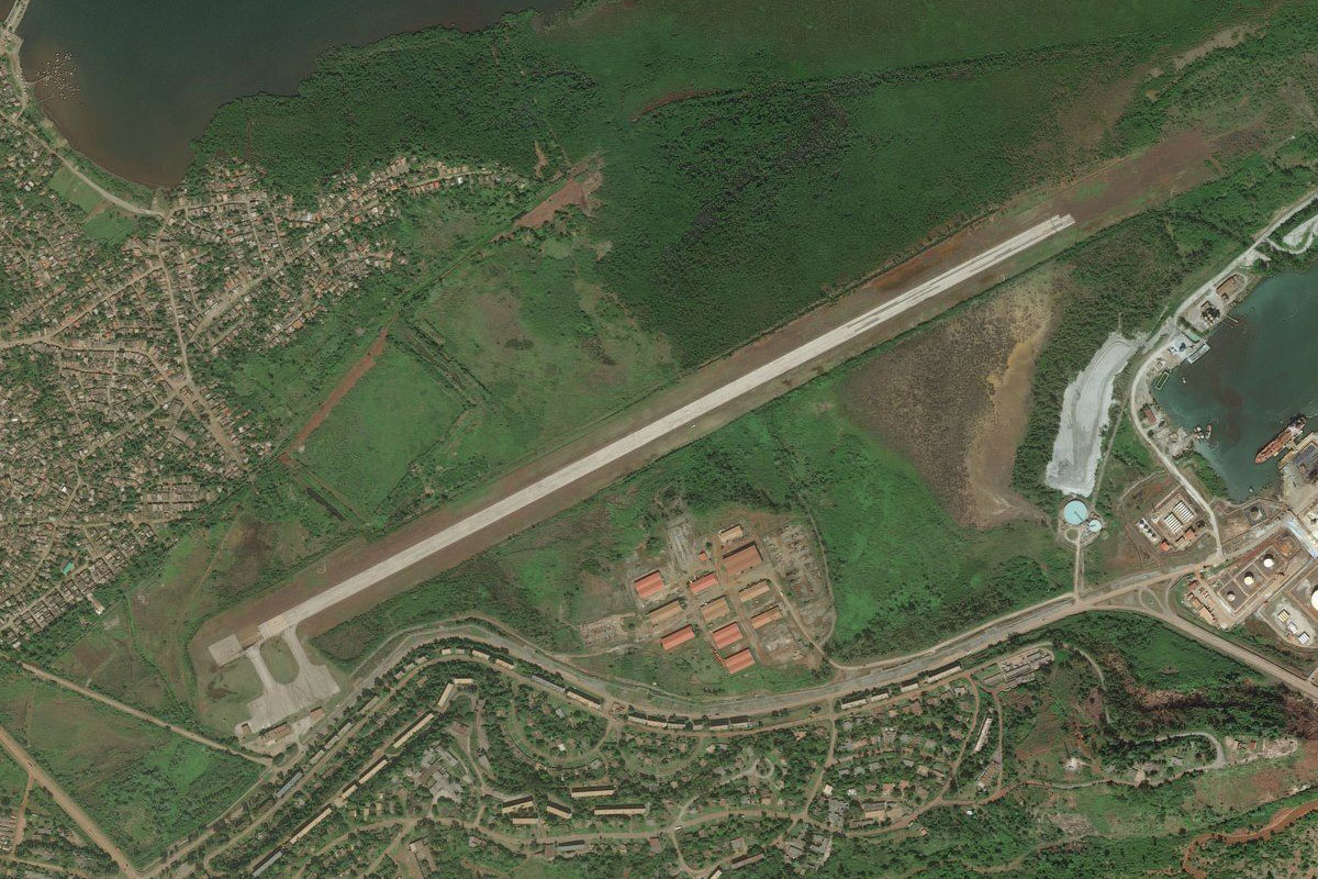
Sierra Maestra(POI51) to MUCU(MUCU)
Distance: 6NM Bearing: 93° 3 minutes
Continue east to the airport, which is on the coast south of the city

Leg 17
Flying from MUCU
Leg Distance: 36.24 Approximate time at 125kts: 17 minutes.
MUCU(MUCU) to Siboney(POI52)
Distance: 7.33NM Bearing: 99° 4 minutes
After takeoff, continue east along the coast
Siboney(POI52) to Gran Laguna Baconao(POI53)
Distance: 15.12NM Bearing: 117° 7 minutes
Follow the coastline southeast to the large lagoon at Baconao
Gran Laguna Baconao(POI53) to MUGM(MUGM)
Distance: 13.79NM Bearing: 96° 7 minutes
Continue east to the airport at the entrance to Guantanamo Bay, the site of a US naval base on land leased from Cuba
Leg 18
Flying from MUGM
Leg Distance: 53.4 Approximate time at 125kts: 26 minutes.
MUGM(MUGM) to Centro de detencion de Guantanamo(POI54)
Distance: 6.11NM Bearing: 101° 3 minutes
Flying east (runway heading) across the bay will take you to Guantanamo Bay Detention Camp, used as a military prison since January 2002 after the attacks of September 11, 2001
Centro de detencion de Guantanamo(POI54) to Bahia de Guantanamo(POI55)
Distance: 9.52NM Bearing: 6° 5 minutes
Fly to the northern end of the bay
Bahia de Guantanamo(POI55) to Pico El Toldo(POI56)
Distance: 28.59NM Bearing: 32° 14 minutes
Head northeast to the taller western end of the distant mountain range
Pico El Toldo(POI56) to MUMO(MUMO)
Distance: 9.18NM Bearing: 7° 4 minutes
Fly north and descend to the town of Moa on the north coast. The airport is at the town's eastern edge
Leg 19
Flying from MUMO
Leg Distance: 34.83 Approximate time at 125kts: 17 minutes.
MUMO(MUMO) to Bahia de Sagua de Tanamo(POI57)
Distance: 22.95NM Bearing: 289° 11 minutes
After takeoff, fly west along the coast
Bahia de Sagua de Tanamo(POI57) to Bahia de Levisa(POI58)
Distance: 9.44NM Bearing: 276° 5 minutes
Continue west to Levisa Bay, one of the large bays along this section of coast
Bahia de Levisa(POI58) to MUNC(MUNC)
Distance: 2.44NM Bearing: 256° 1 minutes
Nicaro airport is on the southern shore of the bay
Leg 20
Flying from MUNC
Leg Distance: 46.8 Approximate time at 125kts: 22 minutes.
MUNC(MUNC) to Mayari(POI59)
Distance: 8.52NM Bearing: 267° 4 minutes
Fly west to the nearby town of Mayarí
Mayari(POI59) to Loma del Burro(POI60)
Distance: 22.64NM Bearing: 306° 11 minutes
The road leading northwest from Mayarí will briefly point you in the direction of a distant group of forested hills
Loma del Burro(POI60) to MUHG(MUHG)
Distance: 15.64NM Bearing: 270° 8 minutes
From the hills, turn west and head to Frank País Airport, serving the city of Holguín a few miles to the north
Leg 21
Flying from MUHG
Leg Distance: 40.48 Approximate time at 125kts: 19 minutes.
MUHG(MUHG) to Cruce San Andres(POI61)
Distance: 8.11NM Bearing: 316° 4 minutes
Head northwest to meet the main highway heading west
Cruce San Andres(POI61) to Las Casimbas(POI62)
Distance: 9.04NM Bearing: 270° 4 minutes
Follow the highway west
Las Casimbas(POI62) to Las Tunas(POI63)
Distance: 21.14NM Bearing: 297° 10 minutes
Keep following the highway northwest to the city of Las Tunas
Las Tunas(POI63) to MUVT(MUVT)
Distance: 2.19NM Bearing: 27° 1 minutes
The airport is north of the city

Leg 22
Flying from MUVT
Leg Distance: 38.73 Approximate time at 125kts: 19 minutes.
MUVT(MUVT) to Guaimaro(POI64)
Distance: 23.14NM Bearing: 288° 11 minutes
After takeoff, head west to meet the highway, then follow it west across the flat countryside to the town of Guáimaro
Guaimaro(POI64) to Marti(POI65)
Distance: 8.19NM Bearing: 325° 4 minutes
Keep following the highway northwest to the small town of Martí
Marti(POI65) to Hatuey(POI66)
Distance: 6.09NM Bearing: 302° 3 minutes
From Martí, turn left and follow the railway northwest to the next town of Hatuey
Hatuey(POI66) to MUSI(MUSI)
Distance: 1.31NM Bearing: 258° 1 minutes
Hatuey Airport sits a mile southwest of the town

Leg 23
Flying from MUSI
Leg Distance: 53.52 Approximate time at 125kts: 26 minutes.
MUSI(MUSI) to Camaguey(POI67)
Distance: 22.58NM Bearing: 311° 11 minutes
After takeoff, head northwest and follow either the highway or the railway to Cuba's third largest city, Camagüey
Camaguey(POI67) to Embalse de Caonao(POI68)
Distance: 14NM Bearing: 330° 7 minutes
From Camagüey, head northwest to Caonao Reservoir
Embalse de Caonao(POI68) to Embalse Porvenir(POI69)
Distance: 9.49NM Bearing: 360° 5 minutes
Head north to another reservoir, Porvenir
Embalse Porvenir(POI69) to MUES(MUES)
Distance: 7.45NM Bearing: 343° 4 minutes
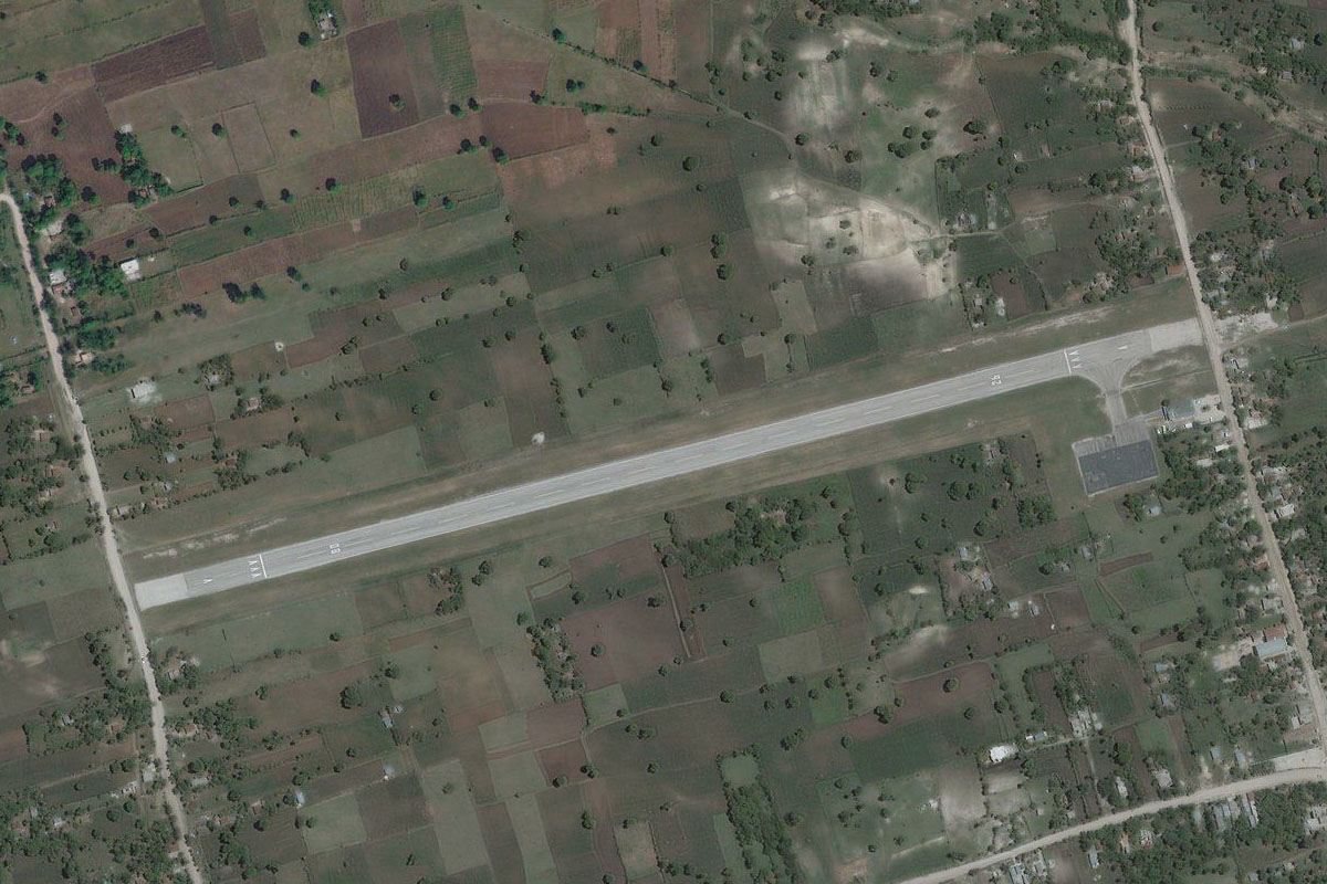
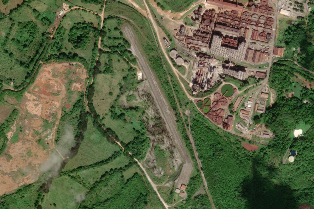
From the reservoir, follow the small river canal heading northwest from the center of the dam wall, to the small airstrip just south of the town of Esmeralda

Leg 24
Flying from MUES
Leg Distance: 40.14 Approximate time at 125kts: 19 minutes.
MUES(MUES) to Bahia de Perros(POI70)
Distance: 28.03NM Bearing: 1° 13 minutes
After takeoff, fly north over Perros Bay to Jardines Del Rey, a chain of islands along Cuba's north coast
Bahia de Perros(POI70) to MUCC(MUCC)
Distance: 12.11NM Bearing: 333° 6 minutes
Once you reach the islands, head northwest to the airport on the large island of Cayo Coco
Leg 25
Flying from MUCC
Leg Distance: 48.14 Approximate time at 125kts: 23 minutes.
MUCC(MUCC) to Cayo Botella(POI71)
Distance: 21.38NM Bearing: 293° 10 minutes
After takeoff, head to the western end of the island
Cayo Botella(POI71) to Jardines del Rey(POI72)
Distance: 15.94NM Bearing: 270° 8 minutes
Fly west along the group of low lying cays and islands
Jardines del Rey(POI72) to MUBR(MUBR)
Distance: 10.82NM Bearing: 312° 5 minutes
Fly northwest to Las Brujas Airport on the island of Cayo Santa Maria
Leg 26
Flying from MUBR
Leg Distance: 46.6 Approximate time at 125kts: 22 minutes.
MUBR(MUBR) to Causeway(POI73)
Distance: 6.99NM Bearing: 235° 3 minutes
Follow the road causeway southwest
Causeway(POI73) to Caibarien(POI74)
Distance: 10.75NM Bearing: 260° 5 minutes
Keep following the causeway to the mainland, just south of the town of Caibarién
Caibarien(POI74) to Camajuani(POI75)
Distance: 16.56NM Bearing: 272° 8 minutes
Fly west and you will meet up with a road heading west to the town of Camajuaní
Camajuani(POI75) to MUSC(MUSC)
Distance: 12.3NM Bearing: 284° 6 minutes
As the road leads you west towards the city of Santa Clara, you should see the airport a few miles north of the city
Leg 27
Flying from MUSC
Leg Distance: 35.78 Approximate time at 125kts: 17 minutes.
MUSC(MUSC) to Santa Clara(POI76)
Distance: 5.41NM Bearing: 203° 3 minutes
Head south to the city of Santa Clara, capital of the Villa Clara province, and resting place of revolutionary figure Che Guevara
Santa Clara(POI76) to A1-1(POI77)
Distance: 3.91NM Bearing: 246° 2 minutes
From the city, head southwest to meet the major highway heading west
A1-1(POI77) to Embalse El Salto(POI78)
Distance: 17.18NM Bearing: 287° 8 minutes
Follow the highway west until you reach the small reservoir on the south side of the highway, a couple of miles west of the town of Lajas
Embalse El Salto(POI78) to MURD(MURD)
Distance: 9.28NM Bearing: 265° 4 minutes
From the reservoir, head west to the grass airstrip 10 miles away
Leg 28
Flying from MURD
Leg Distance: 40.44 Approximate time at 125kts: 19 minutes.
MURD(MURD) to Embalse Damuji(POI79)
Distance: 6.66NM Bearing: 211° 3 minutes
After takeoff, head southwest to the reservoir next to the town of Abreus
Embalse Damuji(POI79) to Embalse Galindo(POI80)
Distance: 7.8NM Bearing: 261° 4 minutes
Head west to another nearby reservoir
Embalse Galindo(POI80) to Cienaga de Zapata(POI81)
Distance: 16.43NM Bearing: 226° 8 minutes
Fly southwest to the coast, crossing the eastern end of the Zapata Swamp, a large wetland and biosphere reserve
Cienaga de Zapata(POI81) to MUAG(MUAG)
Distance: 9.55NM Bearing: 288° 5 minutes
Follow the coast west to the small village of Playa Girón, and the airport west of the town

Leg 29
Flying from MUAG
Leg Distance: 68.7 Approximate time at 125kts: 33 minutes.
MUAG(MUAG) to Bahia de los Cochinos(POI82)
Distance: 15.63NM Bearing: 328° 8 minutes
Follow the coastline north into the narrow Bay of Pigs, known for the unsuccessful military invasion of 1961
Bahia de los Cochinos(POI82) to Cienaga de Zapata(POI83)
Distance: 29.62NM Bearing: 312° 14 minutes
Fly northwest over the main area of the Zapata Swamp National Park to the large bay which is part of the Gulf of Batabano
Cienaga de Zapata(POI83) to Ensenada de la Broa(POI84)
Distance: 14.31NM Bearing: 303° 7 minutes
Continue northwest along the north coast of the bay
Ensenada de la Broa(POI84) to MUGU(MUGU)
Distance: 9.14NM Bearing: 281° 4 minutes
Continue west along the coast, keeping a look out for the airport a couple of miles north

Leg 30
Flying from MUGU
Leg Distance: 44.55 Approximate time at 125kts: 21 minutes.
MUGU(MUGU) to Guines(POI85)
Distance: 8.75NM Bearing: 11° 4 minutes
After takeoff, head north to the large town of Güines
Guines(POI85) to Embalse Caunavaco(POI86)
Distance: 20.86NM Bearing: 63° 10 minutes
Fly northeast towards the tallest hill in the distance, where you will reach a reservoir at its base
Embalse Caunavaco(POI86) to MUVR(MUVR)
Distance: 14.94NM Bearing: 93° 7 minutes
Head east past the bay city of Matanzas, to its airport a few miles further east
Leg 31
Flying from MUVR
Leg Distance: 32.56 Approximate time at 125kts: 16 minutes.
MUVR(MUVR) to Peninsula de Hicacos(POI87)
Distance: 19.92NM Bearing: 68° 10 minutes
Fly northeast to the Bay of Cárdenas, and along the south side of the Hicacos Peninsula
Peninsula de Hicacos(POI87) to Peninsula de Hicacos(POI88)
Distance: 2.14NM Bearing: 324° 1 minutes
Make a left circuit at the end of the peninsula to the ocean side
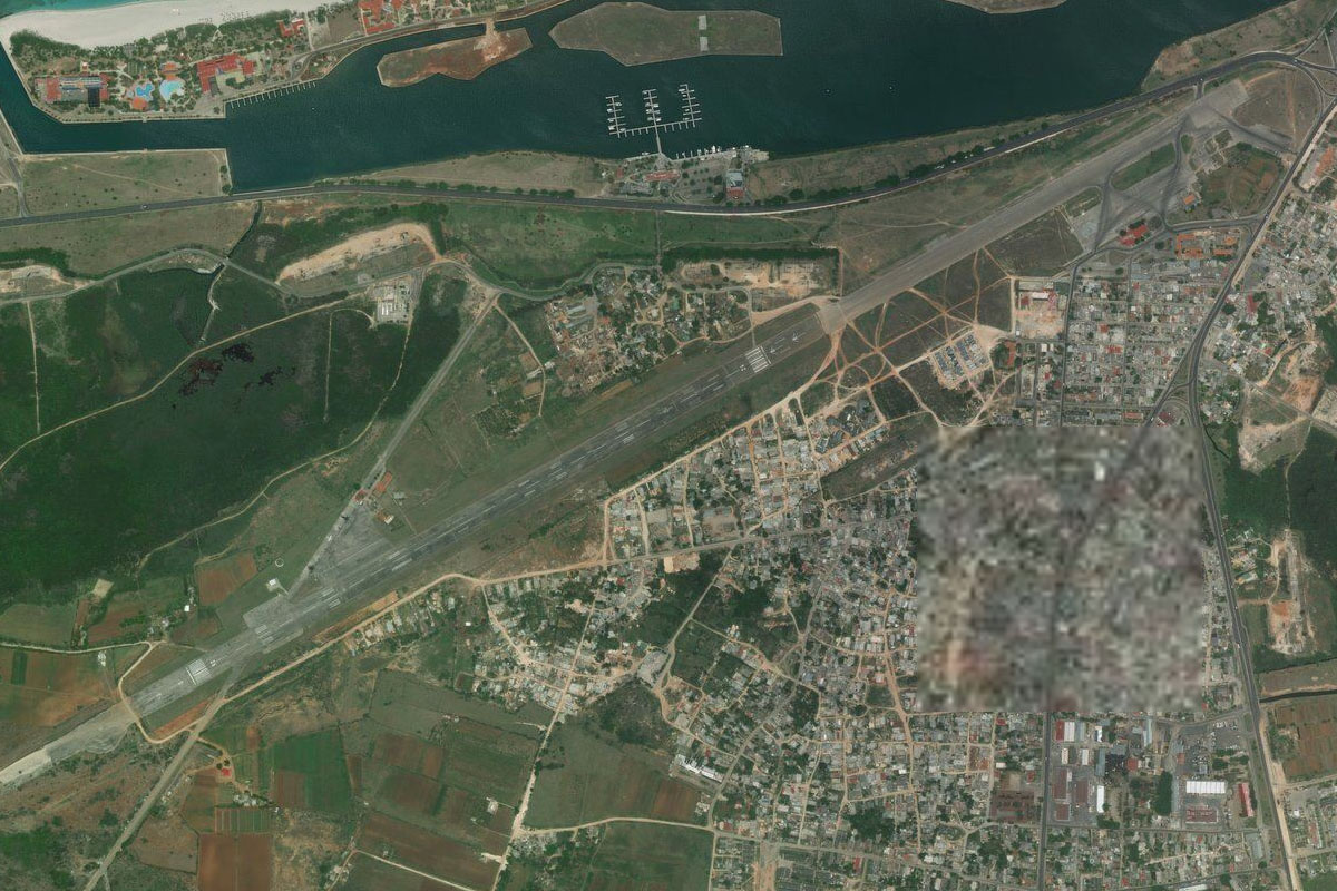
Peninsula de Hicacos(POI88) to MUKW(MUKW)
Distance: 10.5NM Bearing: 244° 5 minutes
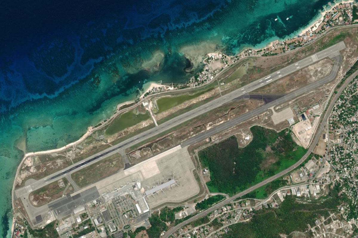
Fly southwest along the peninsula past the resort area of Varadero to the airport at the peninsula's western end
Leg 32
Flying from MUKW
Leg Distance: 56.75 Approximate time at 125kts: 27 minutes.
MUKW(MUKW) to Matanzas(POI89)
Distance: 13.18NM Bearing: 261° 6 minutes
Fly along the coast west to the bay and city of Matanzas. One of Cuba's oldest tourist attractions is nearby, Bellamar Caves
Matanzas(POI89) to Embalse Jaruco(POI90)
Distance: 26.73NM Bearing: 279° 13 minutes
Fly west over Canasi Reservoir, then continue east until you reach Jaruco Dam
Embalse Jaruco(POI90) to San Jose de las Lajas(POI91)
Distance: 10.35NM Bearing: 234° 5 minutes
Head southwest over the hills to the large town of San José de las Lajas
San Jose de las Lajas(POI91) to MUMG(MUMG)
Distance: 6.49NM Bearing: 276° 3 minutes
Fly west along the foothills to Managua Airport
Leg 33
Flying from MUMG
Leg Distance: 17.59 Approximate time at 125kts: 8 minutes.
MUMG(MUMG) to Havana Harbor(POI92)
Distance: 10.53NM Bearing: 345° 5 minutes
Fly north towards the large harbour on the eastern side of the country's capital city, Havana
Havana Harbor(POI92) to Castillo de San Salvador de la Punta(POI93)
Distance: 1.22NM Bearing: 321° 1 minutes
Head northwest to the harbour entrance, which has a 14th century stone fortress on its southern shore
Castillo de San Salvador de la Punta(POI93) to Le Habana(POI94)
Distance: 4.03NM Bearing: 228° 2 minutes
Fly southwest over Cuba's capital, Havana, with the centerpiece being the large Revolution Square and the José Martí Memorial
Le Habana(POI94) to MULB(MULB)
Distance: 1.81NM Bearing: 267° 1 minutes
When you reach the river, head southwest to Ciudad Libertad Airport, the destination for this stage
