Welcome to stage 40, and a journey back to mainland USA. Starting in South Caicos, you will travel northwest from the Turks and Caicos islands along the beautiful chain of islands that make up the Bahamas, a popular tourist and cruise ship destination. When you reach the US mainland you will tour south Florida via the famous Everglades tropical wetland and head north along the gulf coast, before visiting the major tourist theme park destination of central Florida on your way to Orlando International Airport
Total Legs: 25 Total Distance: 1196 Total Time(125kts): 9 hours 34 minutes
Leg 1
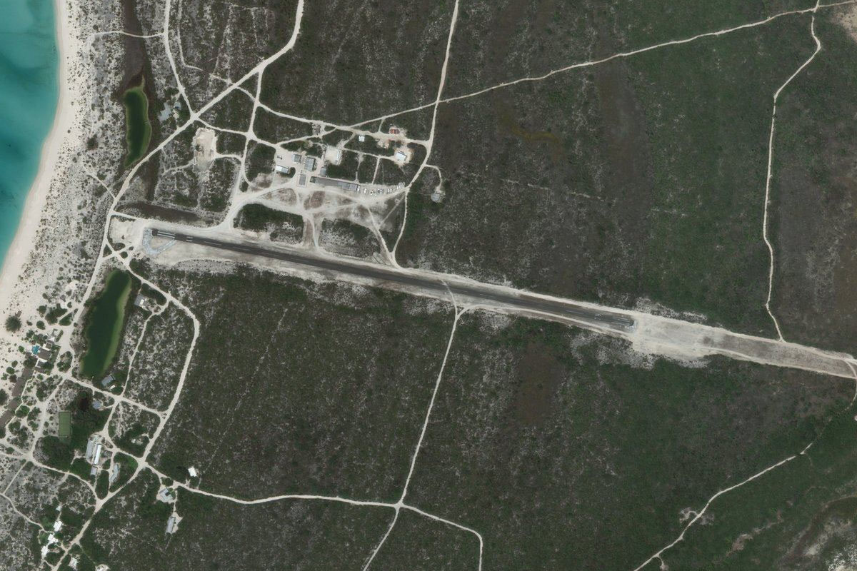
Flying from MBSC
Leg Distance: 44.42 Approximate time at 125kts: 21 minutes.
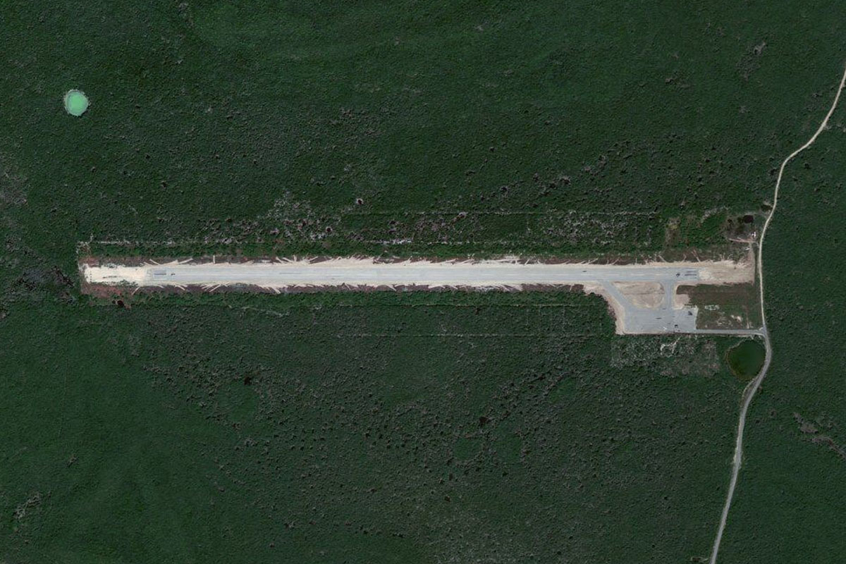
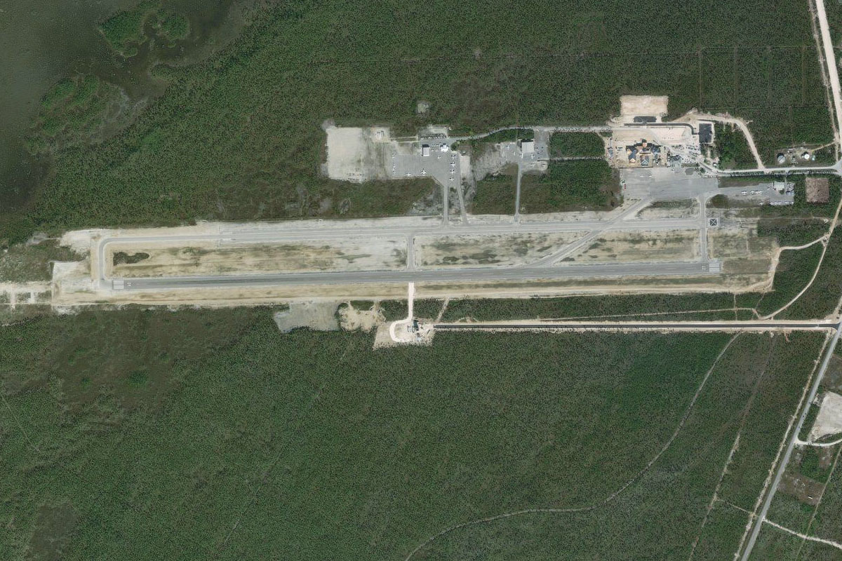
MBSC(MBSC) to East Caicos(POI1)
Distance: 13.11NM Bearing: 360° 6 minutes
After takeoff, head north to the island of East Caicos
East Caicos(POI1) to North Caicos(POI2)
Distance: 24.74NM Bearing: 305° 12 minutes
Fly northwest along the chain of islands
North Caicos(POI2) to MBPI(MBPI)
Distance: 6.57NM Bearing: 285° 3 minutes
When you pass North Caicos airport, head west to the smaller Pine Cay airport which stretches across the width of the small island
Leg 2
Flying from MBPI
Leg Distance: 59.45 Approximate time at 125kts: 29 minutes.
MBPI(MBPI) to Mayaguana(POI3)
Distance: 44.16NM Bearing: 317° 21 minutes
Fly northwest back into The Bahamas, and to Mayaguana Island
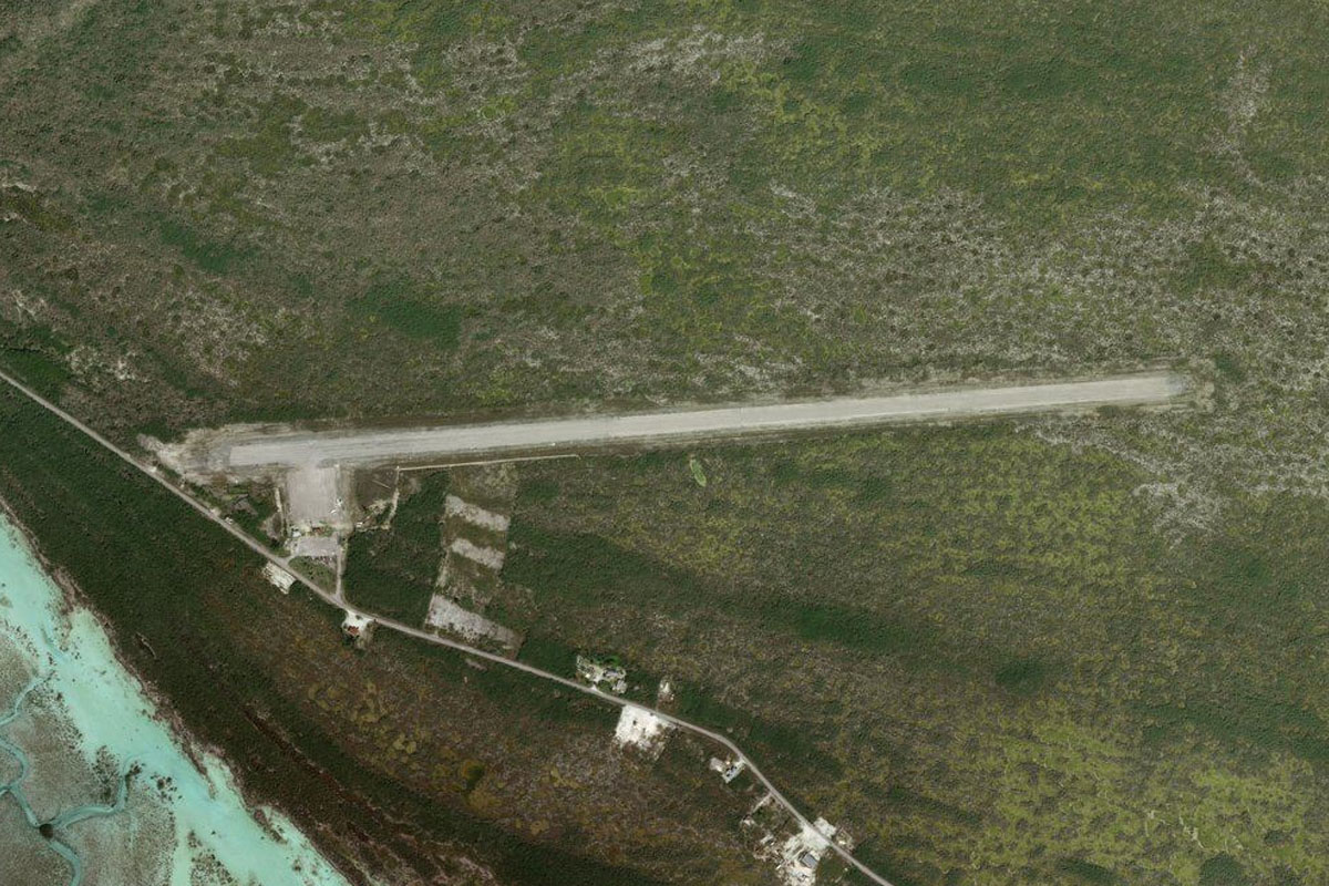
Mayaguana(POI3) to MYMM(MYMM)
Distance: 15.29NM Bearing: 292° 7 minutes
Head west along the island to Mayaguana Airfield, which was a stop on the previous bush trip
Leg 3
Flying from MYMM
Leg Distance: 69.9 Approximate time at 125kts: 34 minutes.
MYMM(MYMM) to Plana Cays(POI4)
Distance: 31.35NM Bearing: 307° 15 minutes
After takeoff, continue northwest to a group of two small islands named Plana Cays
Plana Cays(POI4) to Acklins Island(POI5)
Distance: 19.01NM Bearing: 280° 9 minutes
Fly west to Acklins Island
Acklins Island(POI5) to MYCI(MYCI)
Distance: 19.54NM Bearing: 306° 9 minutes
Head northwest to Colonel Hill Airport, on the north side of the next island, Crooked Island
Leg 4
Flying from MYCI
Leg Distance: 67.43 Approximate time at 125kts: 32 minutes.
MYCI(MYCI) to Crooked Island(POI6)
Distance: 8.72NM Bearing: 319° 4 minutes
Head to the northwestern point of the island
Crooked Island(POI6) to Rum Cay(POI7)
Distance: 56.1NM Bearing: 341° 27 minutes
Fly northwest on the overwater journey to Rum Cay, site of the HMS Conqueror shipwreck which is now a popular dive site
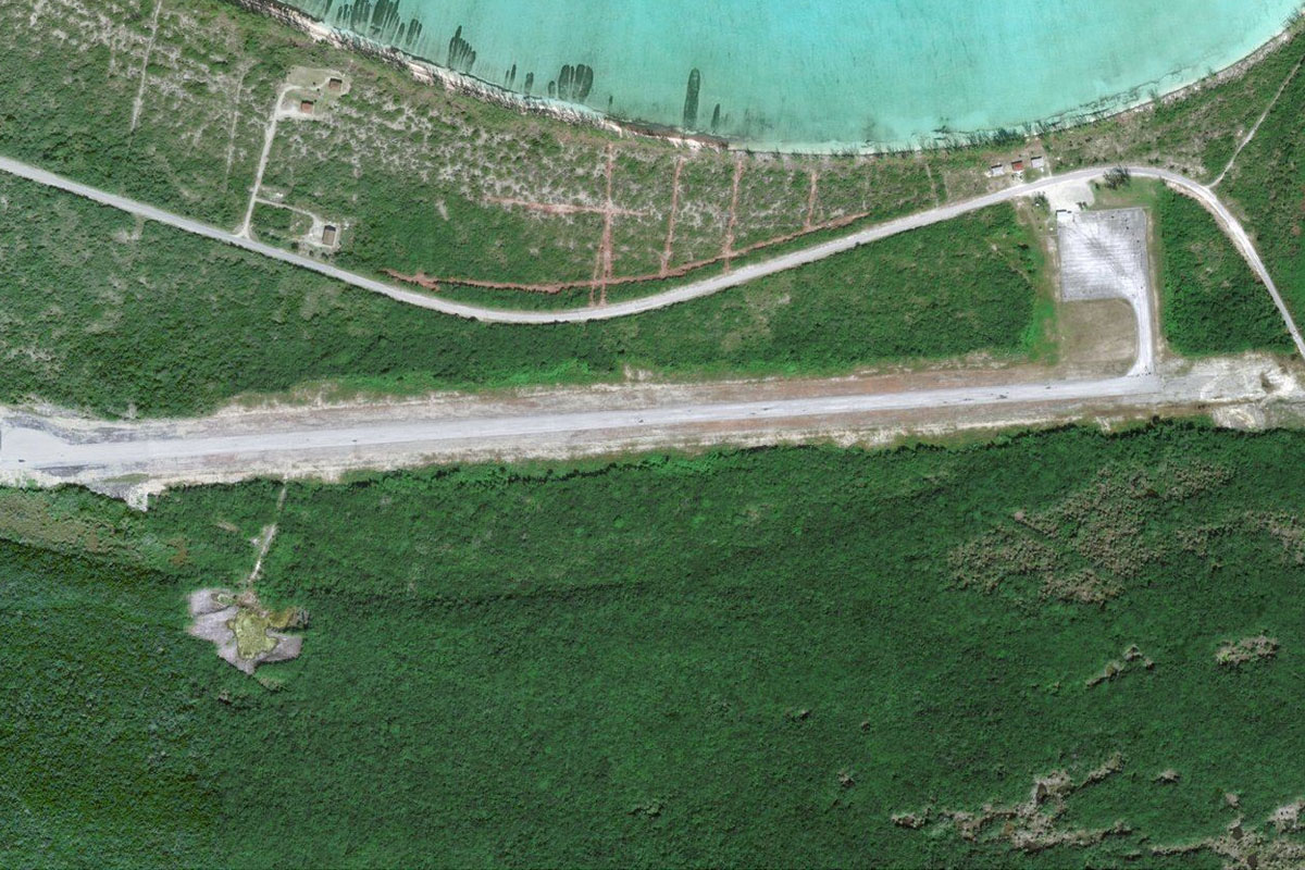
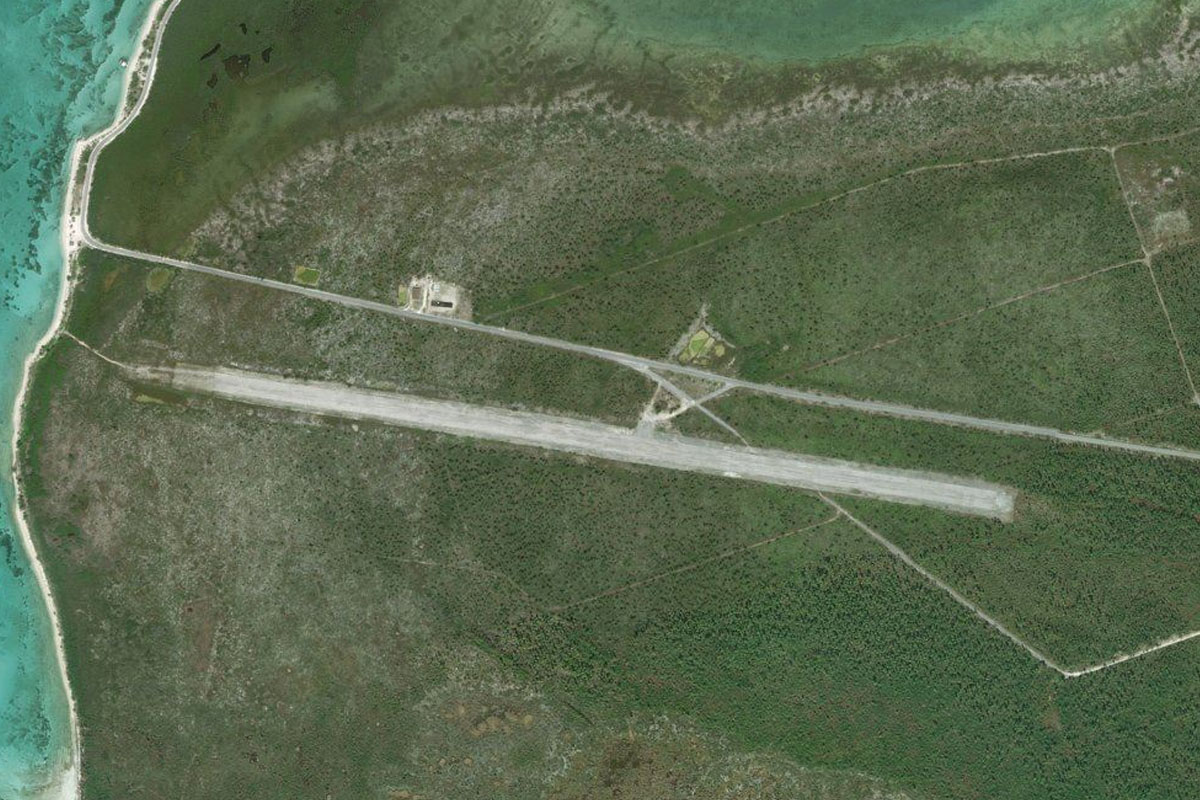
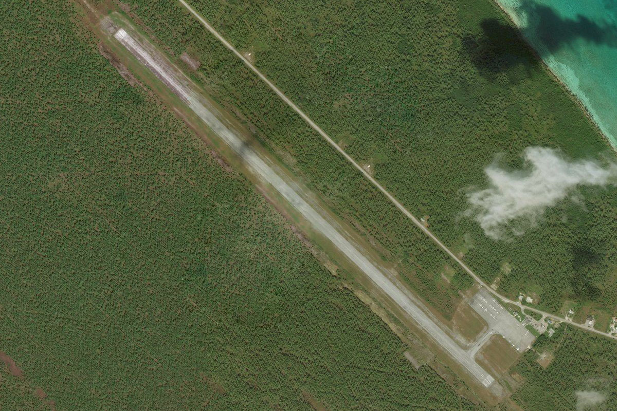
Rum Cay(POI7) to MYRP(MYRP)
Distance: 2.61NM Bearing: 334° 1 minutes
The airport is in the center of the island
Leg 5
Flying from MYRP
Leg Distance: 53.95 Approximate time at 125kts: 26 minutes.
MYRP(MYRP) to Conception Island(POI8)
Distance: 17.77NM Bearing: 312° 9 minutes
After takeoff, fly northwest to Conception Island, which is a National Park and sanctuary for green sea turtles
Conception Island(POI8) to Cat Island(POI9)
Distance: 25.05NM Bearing: 324° 12 minutes
Continue northwest to Cat Island, which has the highest point in The Bahamas, Mount Alverina, at 206 feet
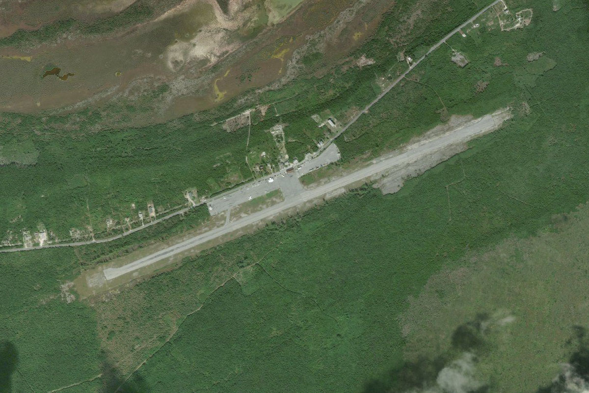
Cat Island(POI9) to MYCB(MYCB)
Distance: 11.13NM Bearing: 6° 5 minutes
Head north across the large circular bay to New Bight Airport
Leg 6
Flying from MYCB
Leg Distance: 54.35 Approximate time at 125kts: 26 minutes.
MYCB(MYCB) to Arthur’s Town(POI10)
Distance: 25.9NM Bearing: 336° 12 minutes
After takeoff, fly to the northern point of the island, near the small settlement of Arthur's Town
Arthur’s Town(POI10) to Eleuthera Island(POI11)
Distance: 25.25NM Bearing: 305° 12 minutes
Continue northwest to the long, thin Eleuthera Island, known for its pink sand beaches
Eleuthera Island(POI11) to MYER(MYER)
Distance: 3.2NM Bearing: 322° 2 minutes
Rock Sound Airport sits in the southern part of the island, on the north shore of a bay

Leg 7
Flying from MYER
Leg Distance: 48.02 Approximate time at 125kts: 23 minutes.
MYER(MYER) to Governor’s Harbor(POI12)
Distance: 17.71NM Bearing: 1° 9 minutes
Fly north along the long, thin island
Governor’s Harbor(POI12) to MYEH(MYEH)
Distance: 30.31NM Bearing: 315° 15 minutes
Follow the island as it turns to the northwest. North Eleuthera Airport is near the center of the larger northern part of the island
Leg 8
Flying from MYEH
Leg Distance: 50.08 Approximate time at 125kts: 24 minutes.
MYEH(MYEH) to Great Abaco(POI13)
Distance: 36.47NM Bearing: 317° 18 minutes
After takeoff, fly northwest to the southern tip of Great Abaco Island, which suffered catastrophic damage from Hurricane Dorian in 2019
Great Abaco(POI13) to MYAS(MYAS)
Distance: 13.61NM Bearing: 323° 7 minutes
Follow the southern coast of the island to Sandy Point Airport
Leg 9
Flying from MYAS
Leg Distance: 35.22 Approximate time at 125kts: 17 minutes.
MYAS(MYAS) to Great Abaco(POI14)
Distance: 15.89NM Bearing: 49° 8 minutes
Fly northeast to the northern part of the island
Great Abaco(POI14) to MYAM(MYAM)
Distance: 19.33NM Bearing: 28° 9 minutes
Fly northeast along the center of the island to Marsh Harbor Airport. This was the site of a tragic crash of a Cessna 402 in 2001 which took the life of US singer and actress Aaliyah, along with 8 other people
Leg 10
Flying from MYAM
Leg Distance: 34.95 Approximate time at 125kts: 17 minutes.
MYAM(MYAM) to Elbow Cay(POI15)
Distance: 6.14NM Bearing: 94° 3 minutes
After takeoff, head east to Elbow Cay, originally populated by British loyalists fleeing the newly independent United States of America in 1785
Elbow Cay(POI15) to North End(POI16)
Distance: 2.4NM Bearing: 23° 1 minutes
Head to the north end of the island, passing over Hope Town and its iconic lighthouse
North End(POI16) to Great Guana Cay(POI17)
Distance: 13.92NM Bearing: 317° 7 minutes
Head northwest and follow the chain of islands to the golf course at the northern end of Great Guana Cay
Great Guana Cay(POI17) to Whale Cay(POI18)
Distance: 3.69NM Bearing: 285° 2 minutes
Head west over the nearby Whale Cay
Whale Cay(POI18) to MYAT(MYAT)
Distance: 8.8NM Bearing: 294° 4 minutes
Continue west back to the main island, then fly northwest to Treasure Cay Airport
Leg 11
Flying from MYAT
Leg Distance: 70.9 Approximate time at 125kts: 34 minutes.
MYAT(MYAT) to Grand Bahama Island(POI19)
Distance: 27.5NM Bearing: 272° 13 minutes
After takeoff, head west to Grand Bahama Island, which also suffered extensive damage from Hurricane Dorian in 2019
Grand Bahama Island(POI19) to MYGF(MYGF)
Distance: 43.4NM Bearing: 268° 21 minutes
Fly west along the length of the island to the city of Freeport, with Grand Bahama Airport on the north side of the city
Leg 12
Flying from MYGF
Leg Distance: 80.99 Approximate time at 125kts: 39 minutes.
MYGF(MYGF) to West End(POI20)
Distance: 18.13NM Bearing: 306° 9 minutes
Head northwest to the western tip of the island
West End(POI20) to South Palm Beach(POI21)
Distance: 56.31NM Bearing: 271° 27 minutes
Heading west from Grand Bahama will take you back to the United States, near the beach community of South Palm Beach
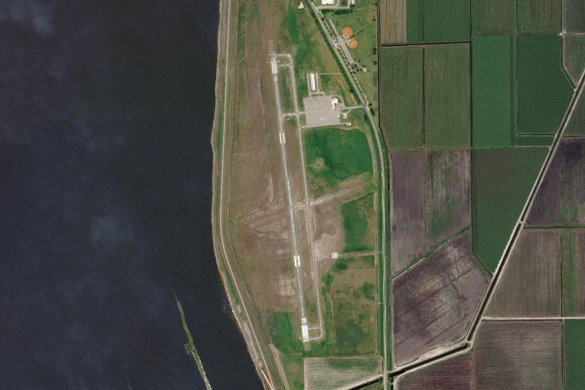
South Palm Beach(POI21) to KPBI(KPBI)
Distance: 6.55NM Bearing: 338° 3 minutes
Head north along the coast until you see Palm Beach International Airport a couple of miles inland
Leg 13
Flying from KPBI
Leg Distance: 35.57 Approximate time at 125kts: 17 minutes.
KPBI(KPBI) to Twentymile Bend(POI22)
Distance: 15.89NM Bearing: 278° 8 minutes
After takeoff, follow Southern Boulevard west. Southern Blvd is the large highway running along the south side of the airport, accompanied by the West Palm Beach Canal
Twentymile Bend(POI22) to West Palm Beach Canal(POI23)
Distance: 11.95NM Bearing: 317° 6 minutes
When the highway and canal turn northwest, follow the canal northwest for 12 miles until it reaches a smaller canal
West Palm Beach Canal(POI23) to Pahokee(POI24)
Distance: 5.49NM Bearing: 277° 3 minutes
The small canal will point you west towards the town of Pahokee, on the shore of Lake Okeechobee
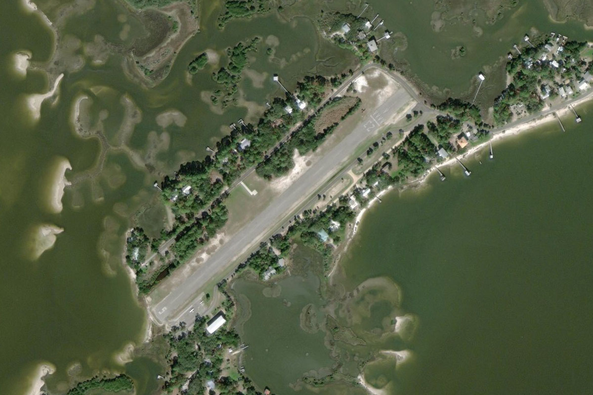
Pahokee(POI24) to KPHK(KPHK)
Distance: 2.24NM Bearing: 228° 1 minutes
Turn southwest to the small airfield on the lake shore
Leg 14
Flying from KPHK
Leg Distance: 39.78 Approximate time at 125kts: 19 minutes.
KPHK(KPHK) to Clewiston(POI25)
Distance: 12.81NM Bearing: 269° 6 minutes
Fly west over Lake Okeechobee to the town of Clewiston on the western shore
Clewiston(POI25) to Clewiston Golf Course(POI26)
Distance: 1.5NM Bearing: 251° 1 minutes
Head to the golf course next to the disused airfield on the western side of the town
Clewiston Golf Course(POI26) to L-2 Canal(POI27)
Distance: 4.52NM Bearing: 184° 2 minutes
Head south from the golf course to meet up with the L-2 Canal heading south, one of many canals in Florida
L-2 Canal(POI27) to L-3 Canal(POI28)
Distance: 15.73NM Bearing: 186° 8 minutes
Follow the canal south until it makes a turn to the southeast
L-3 Canal(POI28) to 59FD(59FD)
Distance: 5.22NM Bearing: 212° 3 minutes
Head southwest to the nearby town and airport of Big Cypress
Leg 15
Flying from 59FD
Leg Distance: 30.2 Approximate time at 125kts: 14 minutes.
59FD(59FD) to L-28 Canal(POI29)
Distance: 16.02NM Bearing: 158° 8 minutes
After takeoff head southeast, following the L-28 Canal which runs past the eastern side of the airfield
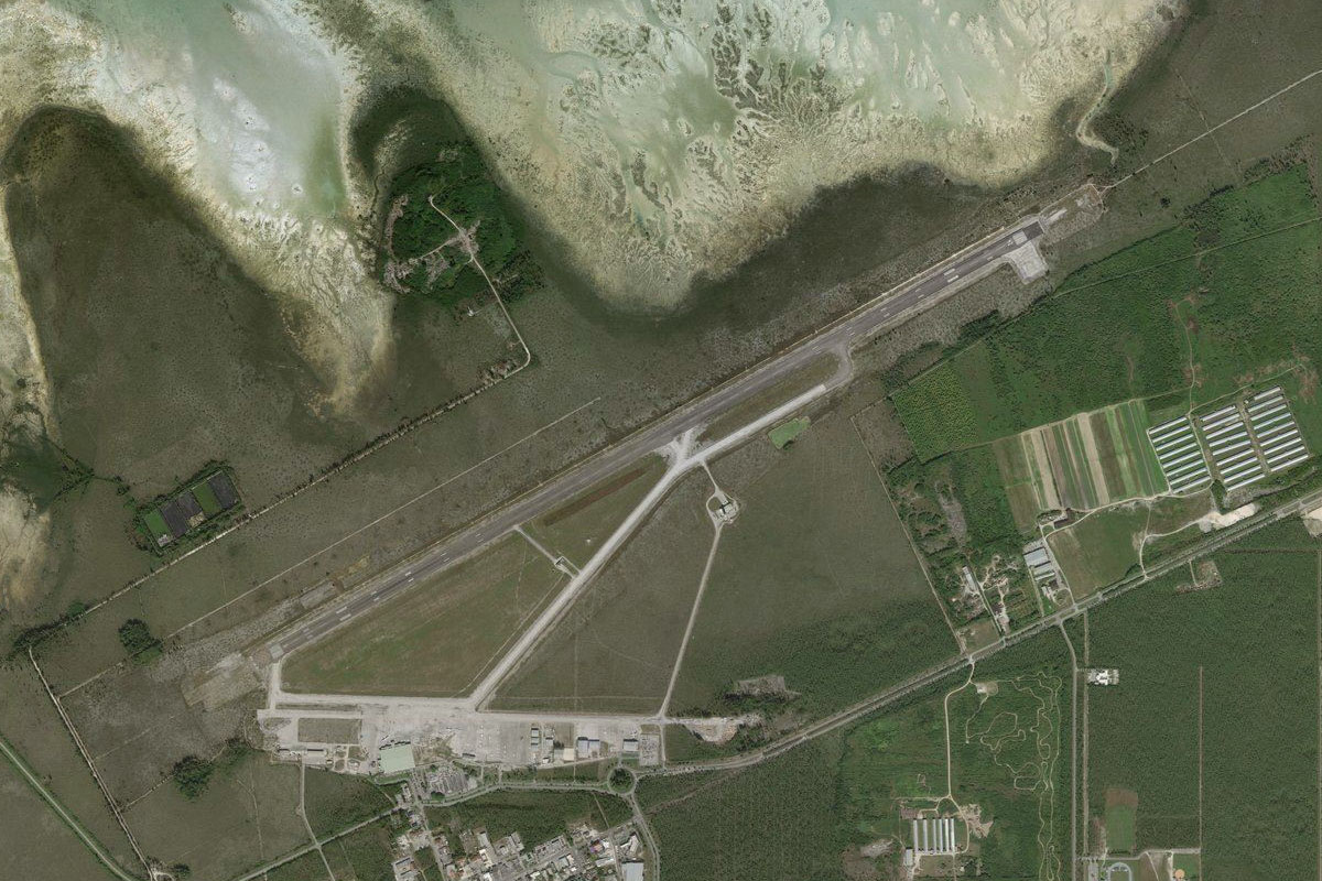
L-28 Canal(POI29) to KTNT(KTNT)
Distance: 14.18NM Bearing: 199° 7 minutes
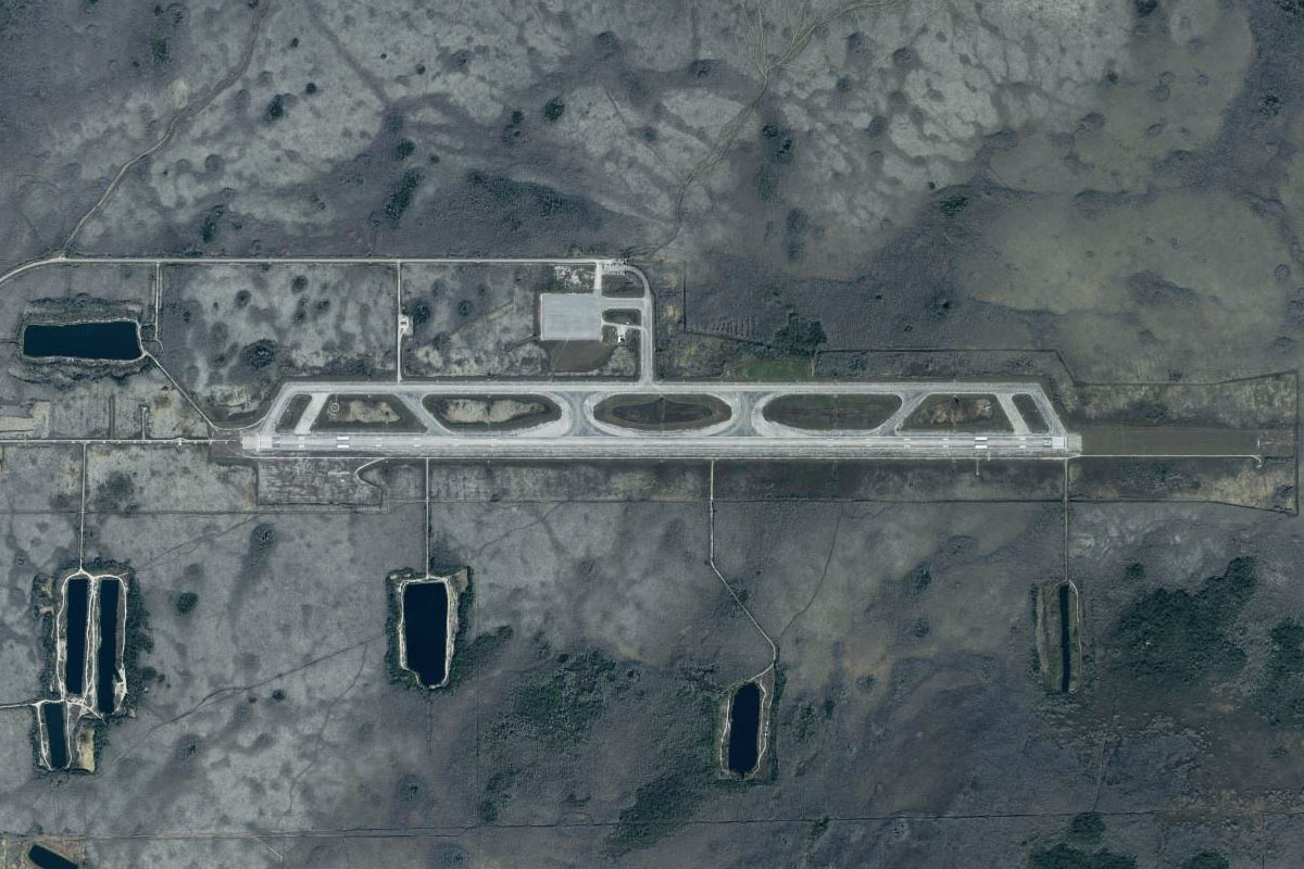
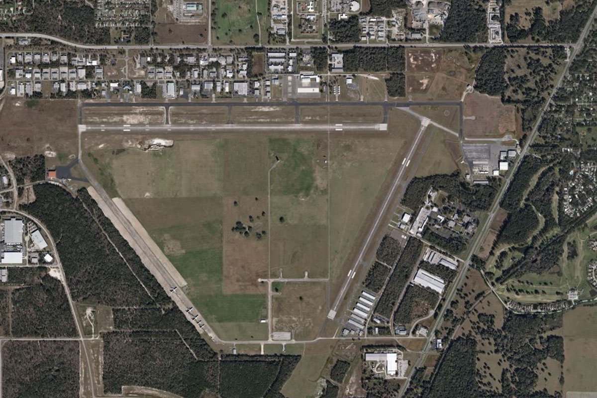
When you near the southern end of the canal, head south over the Big Cypress National Preserve to the Dade-Collier Training and Transition Airport. This out of the way airport once provided a training area for large airliners away from the busier airports to the east
Leg 16
Flying from KTNT
Leg Distance: 47.48 Approximate time at 125kts: 23 minutes.
KTNT(KTNT) to Everglades National Park(POI30)
Distance: 24.54NM Bearing: 271° 12 minutes
Head west after takeoff and fly towards the inner coastline, over Big Cypress National Preserve and Everglades National Park, a large region of tropical wetlands covering most of south Florida, also famous for its wildlife including alligators, crocodiles, manatees and hundreds of other animal species
Everglades National Park(POI30) to Ten Thousand Islands(POI31)
Distance: 19.35NM Bearing: 298° 9 minutes
Fly northwest along the group of mangrove covered islands which are part of the Ten Thousand Islands National Wildlife Refuge
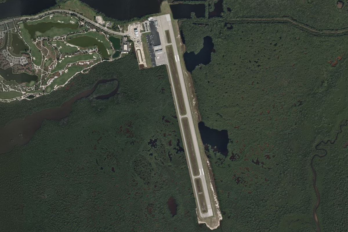
Ten Thousand Islands(POI31) to KMKY(KMKY)
Distance: 3.59NM Bearing: 14° 2 minutes
As you near the coastal city of Marco Island, head north to the airport which sits a few miles northeast of the city
Leg 17
Flying from KMKY
Leg Distance: 38.43 Approximate time at 125kts: 18 minutes.
KMKY(KMKY) to Naples(POI32)
Distance: 11.39NM Bearing: 327° 5 minutes
After takeoff, head northwest to the city of Naples on the coast
Naples(POI32) to Estero Bay(POI33)
Distance: 12.41NM Bearing: 359° 6 minutes
Head north along the coast until you reach the southern end of Estero Bay
Estero Bay(POI33) to Hendry Creek(POI34)
Distance: 7.03NM Bearing: 352° 3 minutes
Follow the eastern shore of the Bay north until you reach the entrance to Hendry Creek at the north end
Hendry Creek(POI34) to KFMY(KFMY)
Distance: 7.6NM Bearing: 9° 4 minutes
Continue north towards the city of Fort Myers to Page Field, a large business and general aviation airport a few miles south of downtown
Leg 18
Flying from KFMY
Leg Distance: 23.34 Approximate time at 125kts: 11 minutes.
KFMY(KFMY) to Fort Myers(POI35)
Distance: 5.04NM Bearing: 350° 2 minutes
After takeoff, head north to downtown Fort Myers, then follow the bridges northwest across the Caloosahatchee River to North Fort Myers
Fort Myers(POI35) to Northeast Pine Island Road(POI36)
Distance: 2.73NM Bearing: 277° 1 minutes
As soon as you cross the river, follow the first major road you meet running west
Northeast Pine Island Road(POI36) to Pine Island(POI37)
Distance: 7.97NM Bearing: 256° 4 minutes
When the road meets another major road heading southwest (Northeast Pine Island Road), follow the dual carriageway road southwest where it will soon cross the Matlacha Pass Estuary to Pine Island
Pine Island(POI37) to FL90(FL90)
Distance: 7.6NM Bearing: 268° 4 minutes
When the road ends on Pine Island, continue west over the Gulf Intracoastal Waterway to the grass airstrip on the northern tip of North Captiva Island
Leg 19
Flying from FL90
Leg Distance: 30.72 Approximate time at 125kts: 15 minutes.
FL90(FL90) to Gasparilla Pass(POI38)
Distance: 13.04NM Bearing: 352° 6 minutes
After takeoff, follow the chain of narrow islands north
Gasparilla Pass(POI38) to KVNC(KVNC)
Distance: 17.68NM Bearing: 337° 8 minutes
Keep following the coastal islands northwest. As you head towards the city of Venice, you should notice the large wagon wheel shaped community of Rotonda, laid out to resemble the historic temporary WWII airfields of Florida. Venice airport is just south of the city
Leg 20
Flying from KVNC
Leg Distance: 44.92 Approximate time at 125kts: 22 minutes.
KVNC(KVNC) to Sarasota(POI39)
Distance: 16.86NM Bearing: 345° 8 minutes
After takeoff, keep following the coast north to the city of Sarasota, which lies on the eastern shore of Sarasota Bay
Sarasota(POI39) to Bradenton(POI40)
Distance: 10.62NM Bearing: 1° 5 minutes
Head north from Sarasota over the airport, to the nearby city of Bradenton on the Manatee River
Bradenton(POI40) to Sunshine Skyway Bridge(POI41)
Distance: 10.17NM Bearing: 334° 5 minutes
Head northwest to meet the highway heading to Sunshine Skyway Bridge. This is the second bridge crossing the bay, after the original bridge partially collapsed after a tragic ship collision in 1980
Sunshine Skyway Bridge(POI41) to KSPG(KSPG)
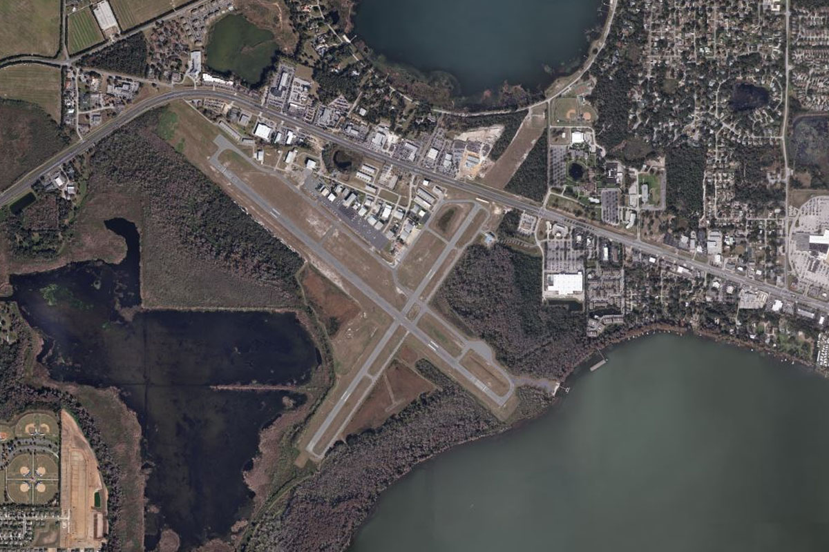
Distance: 7.27NM Bearing: 27° 3 minutes
From the bridge, fly northeast towards St. Petersburg. You will find Whitted airport on the eastern side of the city, next to the shore
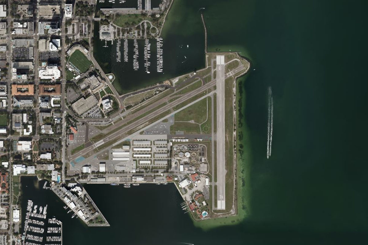
Leg 21
Flying from KSPG
Leg Distance: 46.65 Approximate time at 125kts: 22 minutes.
KSPG(KSPG) to Tampa(POI42)
Distance: 13.97NM Bearing: 46° 7 minutes
After takeoff, head northeast across the bay towards the city of Tampa, passing MacDill Air Force Base on the way
Tampa(POI42) to I-275(POI43)
Distance: 9.34NM Bearing: 7° 4 minutes
Follow Interstate highway 275 heading north from Tampa
I-275(POI43) to Land O Lakes(POI44)
Distance: 7.58NM Bearing: 5° 4 minutes
The highway will intersect with the smaller highway 41 where it turns away to the east. From here, follow US Highway 41 north
Land O Lakes(POI44) to Pilot Country(POI45)
Distance: 6.87NM Bearing: 345° 3 minutes
Keep following the highway as it turns slightly northwest and passes to the west of Pilot Country Estates Airpark
Pilot Country(POI45) to KBKV(KBKV)
Distance: 8.89NM Bearing: 23° 4 minutes
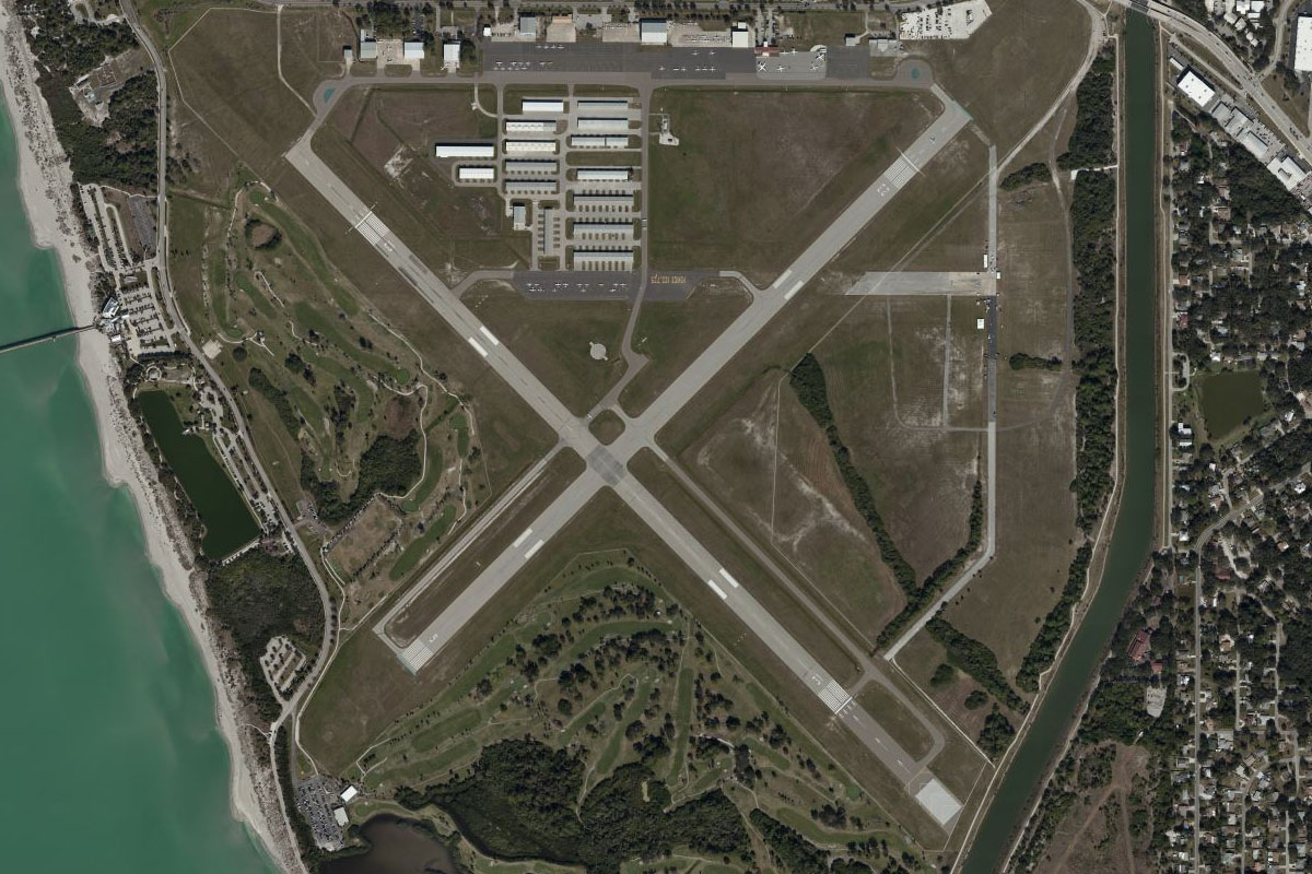
The highway will turn to the northeast and lead to Brooksville-Tampa Bay Regional Airport
Leg 22
Flying from KBKV
Leg Distance: 55.31 Approximate time at 125kts: 27 minutes.
KBKV(KBKV) to Chassahowitzka Swamp(POI46)
Distance: 14.18NM Bearing: 317° 7 minutes
Fly northwest over the large area of swamp until you reach the coast
Chassahowitzka Swamp(POI46) to Crystal River(POI47)
Distance: 19.84NM Bearing: 360° 10 minutes
Follow the coast north until you reach the Crystal River power plant
Crystal River(POI47) to KCDK(KCDK)
Distance: 21.29NM Bearing: 306° 10 minutes
Fly northwest across the bay to Cedar Key, which is in a group of small islands sitting south of the coast. The small airstrip sits just west of the town
Leg 23
Flying from KCDK
Leg Distance: 44.48 Approximate time at 125kts: 21 minutes.
KCDK(KCDK) to Lower Suwannee National Wildlife Refuge(POI48)
Distance: 2.68NM Bearing: 41° 1 minutes
After takeoff, fly briefly northeast to where the road reaches the mainland
Lower Suwannee National Wildlife Refuge(POI48) to Waccasassa Bay(POI49)
Distance: 11.03NM Bearing: 99° 5 minutes
Follow the shoreline east
Waccasassa Bay(POI49) to Crossroads(POI50)
Distance: 9.19NM Bearing: 96° 4 minutes
Continue east across land, passing a junction of major and minor roads and power lines
Crossroads(POI50) to KOCF(KOCF)
Distance: 21.58NM Bearing: 95° 10 minutes
Head east towards the city of Ocala, and you will reach Ocala airport a few miles west of the downtown area
Leg 24
Flying from KOCF
Leg Distance: 32.28 Approximate time at 125kts: 15 minutes.
KOCF(KOCF) to Ocala(POI51)
Distance: 4.22NM Bearing: 86° 2 minutes
Head east to the center of Ocala, then follow the highway running southeast from there
Ocala(POI51) to The Villages(POI52)
Distance: 19.18NM Bearing: 150° 9 minutes
Follow the highway southeast past Lake Weir to your left, then a large group of residential areas called The Villages
The Villages(POI52) to KLEE(KLEE)
Distance: 8.88NM Bearing: 141° 4 minutes
Fly southeast across Lake Griffith to Leesburg Airport, which lies between Lake Griffith and Lake Harris to its south
Leg 25
Flying from KLEE
Leg Distance: 57.26 Approximate time at 125kts: 27 minutes.
KLEE(KLEE) to Lake Apopka(POI53)
Distance: 18.57NM Bearing: 151° 9 minutes
After takeoff, head southeast over Lake Harris, then to the southern edge of Lake Apopka, the largest in the local area
Lake Apopka(POI53) to Disney World(POI54)
Distance: 13.47NM Bearing: 185° 6 minutes
Heading south from the lake, you will enter the usually restricted airspace of Disney World, one of the world's top tourist destinations. Firstly, on your left, you should see the Magic Kingdom, based on the original Disneyland Park in California. Just south of there is Disney's Animal Kingdom
Disney World(POI54) to I-4(POI55)
Distance: 3.19NM Bearing: 99° 2 minutes
When you reach Animal Kingdom (look for the large car park) turn left and head east towards Interstate Highway 4, passing Disney's other 2 parks on the way, Epcot and Disney's Hollywood Studios
I-4(POI55) to Sea World(POI56)
Distance: 5.07NM Bearing: 44° 2 minutes
Follow I-4 northeast, passing the Disney Springs entertainment precinct to your left, Sea World and the Orange County Convention Center on your right, just before the junction with the Beeline Expressway heading east
Sea World(POI56) to Universal(POI57)
Distance: 3.27NM Bearing: 11° 2 minutes
Keep following I-4 north which will point you to Universal's 2 theme parks – Universal Studios and Islands of Adventure
Universal(POI57) to Orlando(POI58)
Distance: 6.18NM Bearing: 55° 3 minutes
From Universal, I-4 will turn northeast to the City of Orlando, Florida's fourth largest city
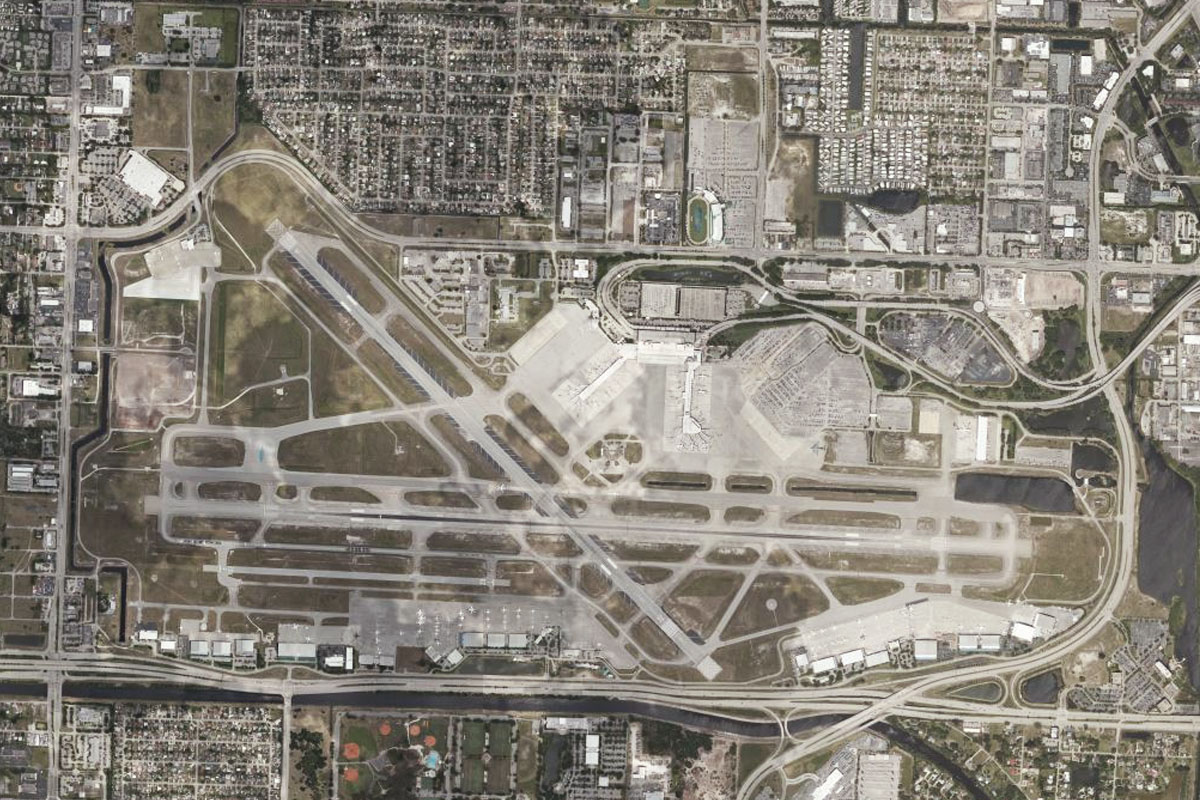
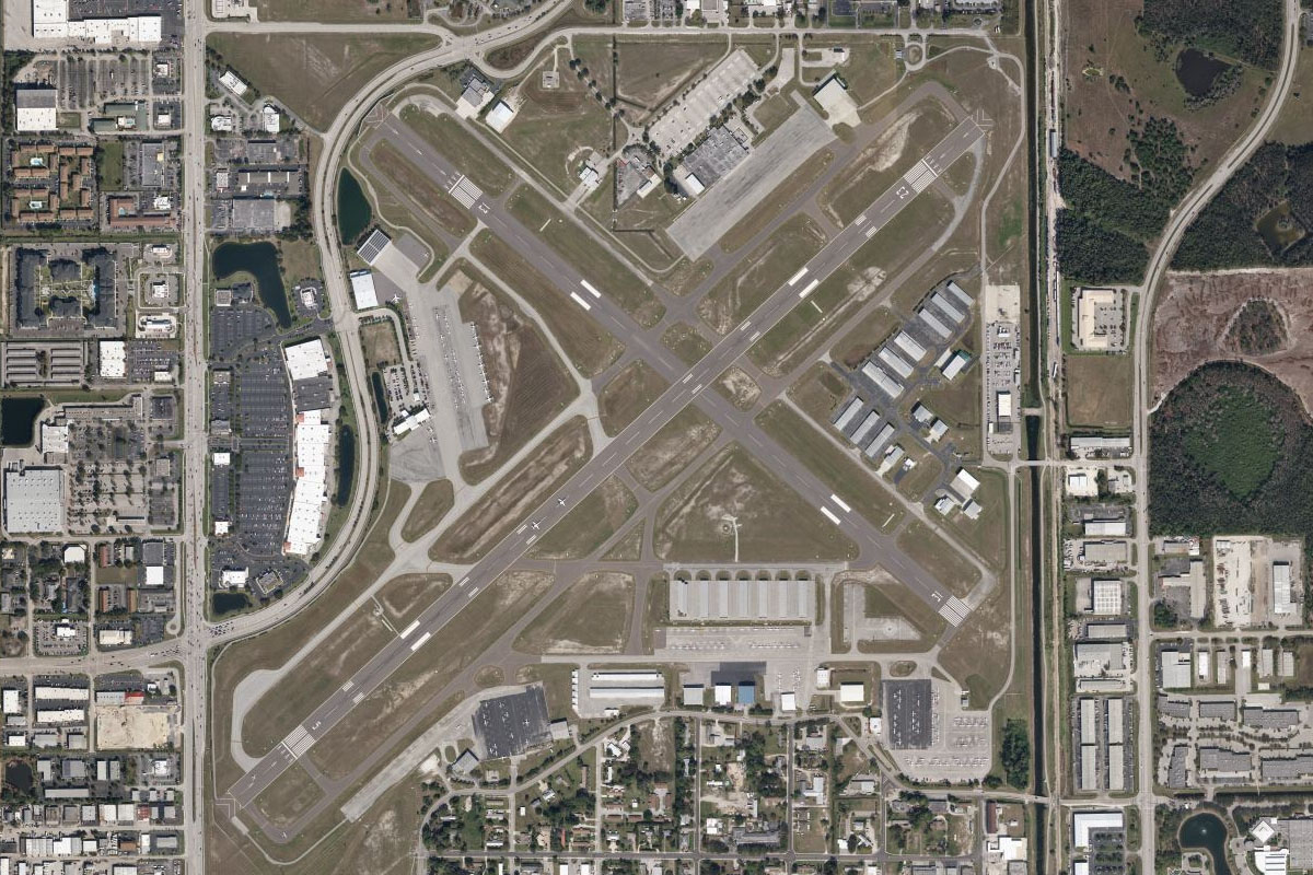
Orlando(POI58) to KMCO(KMCO)
Distance: 7.51NM Bearing: 156° 4 minutes
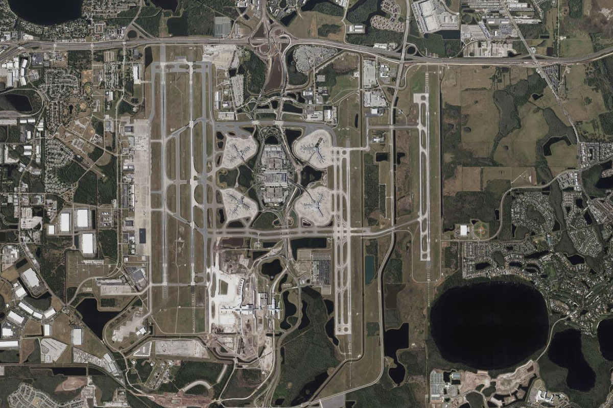
Southeast of Orlando, you won't miss Orlando International Airport, the tenth busiest in the USA, and the destination for this stage of the tour