Welcome to stage 43, and a grand tour of seven US states bordering the mighty Mississippi River in the south of the country. From New Orleans, you’ll explore the bayous and lowlands of the Mississippi River delta as you follow the river upstream through the states of Louisiana and Mississippi, then heading to the city of Little Rock in Arkansas, before flying east to Memphis, Tennessee. Another famous music city, Nashville lies to the northeast, before the final part of the stage taking you northeast through parts of Kentucky, Illinois and Missouri on the way to the destination of St Louis
Total Legs: 23 Total Distance: 1118 Total Time(125kts): 8 hours 56 minutes
Leg 1
Flying from KNEW
Leg Distance: 48.31 Approximate time at 125kts: 23 minutes.
KNEW(KNEW) to City Park(POI1)
Distance: 3.34NM Bearing: 258° 2 minutes
After takeoff, fly west along the shore until you reach the northern end of city park which stretches away to the south
City Park(POI1) to City Park(POI2)
Distance: 2.64NM Bearing: 186° 1 minutes
Head to the southern end of the park
City Park(POI2) to New Orleans(POI3)
Distance: 3.12NM Bearing: 146° 1 minutes
From the south end of the park, head southeast towards downtown New Orleans. The famous French Quarter is on the north side of downtown next to the river
New Orleans(POI3) to Mississippi River(POI4)
Distance: 6.67NM Bearing: 142° 3 minutes
Continue southeast to meet up with the Mississippi River
Mississippi River(POI4) to Mississippi River(POI5)
Distance: 6.41NM Bearing: 204° 3 minutes
Follow the river south
Mississippi River(POI5) to Mississippi River(POI6)
Distance: 7.94NM Bearing: 152° 4 minutes
Follow the river back to the southeast
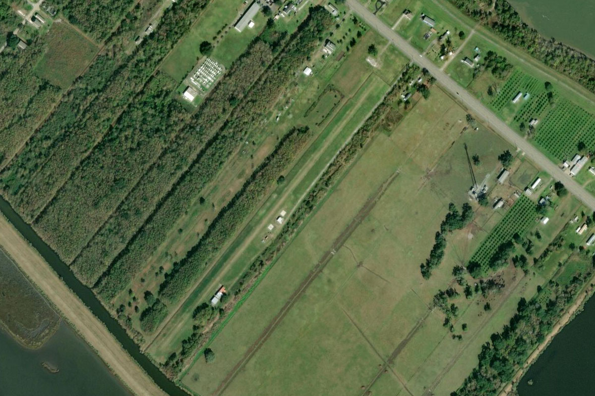
Mississippi River(POI6) to 7LA1(7LA1)
Distance: 18.19NM Bearing: 129° 9 minutes
Continue southeast along the river above the low lying river delta as it makes its way towards the Gulf of Mexico. Be on the lookout for the small grass airstrip next to the highway on the right bank
Leg 2
Flying from 7LA1
Leg Distance: 49.92 Approximate time at 125kts: 24 minutes.
7LA1(7LA1) to Barataria Bay(POI7)
Distance: 11.31NM Bearing: 223° 5 minutes
Fly southwest after takeoff (runway heading) across Barataria Bay until you reach the chain of barrier islands which separate the bay from the Gulf of Mexico
Barataria Bay(POI7) to Grand Isle(POI8)
Distance: 13.61NM Bearing: 241° 7 minutes
Continue southwest along the populated barrier island of Grand Isle, which has been smashed by hurricanes many times throughout history
Grand Isle(POI8) to LA-1(POI9)
Distance: 7.43NM Bearing: 252° 4 minutes
From the bridge at the western end of the island, follow Louisiana Highway 1 west
LA-1(POI9) to Golden Meadow(POI10)
Distance: 13.84NM Bearing: 343° 7 minutes
Follow the highway north as it runs alongside Bayou Lafourche
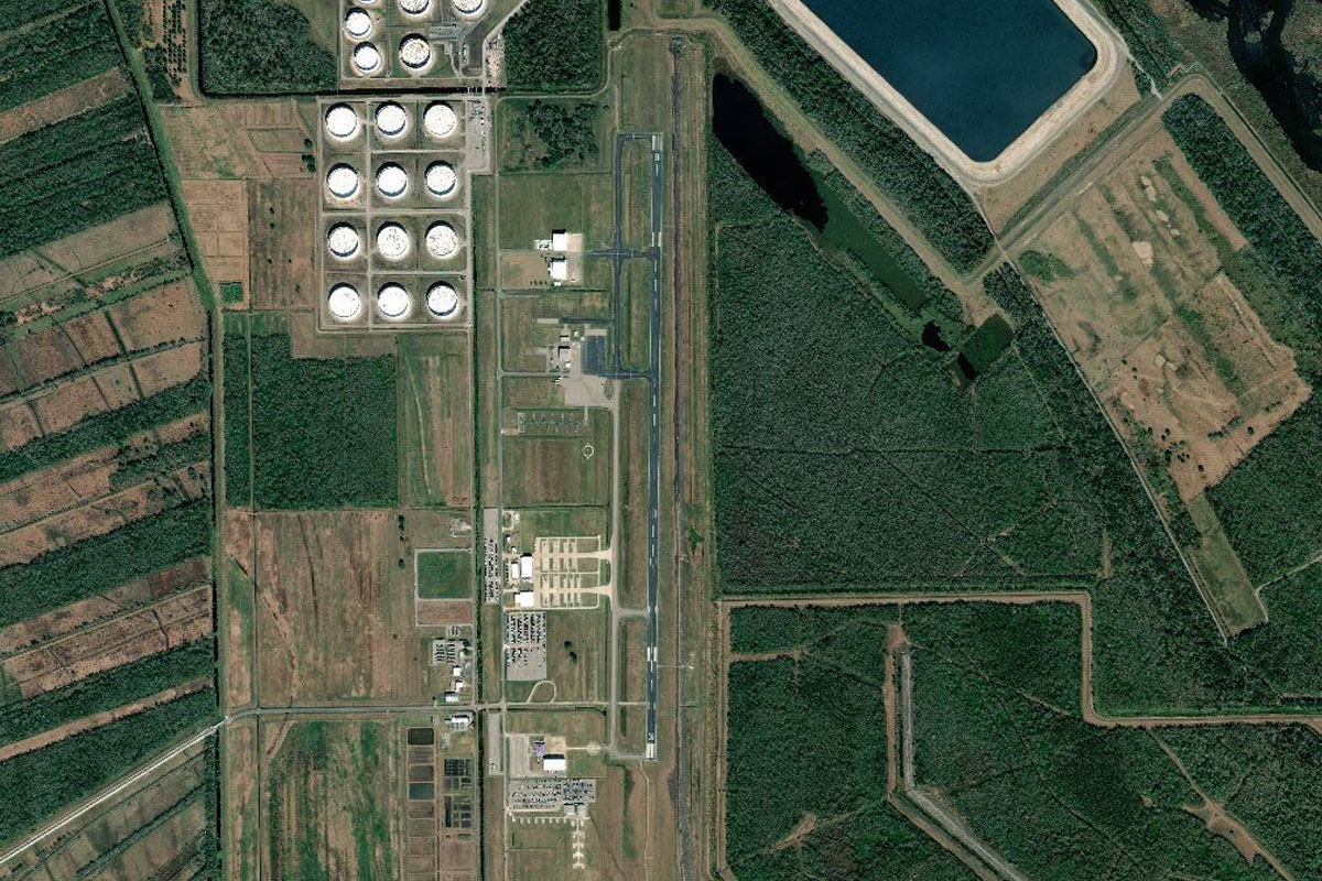
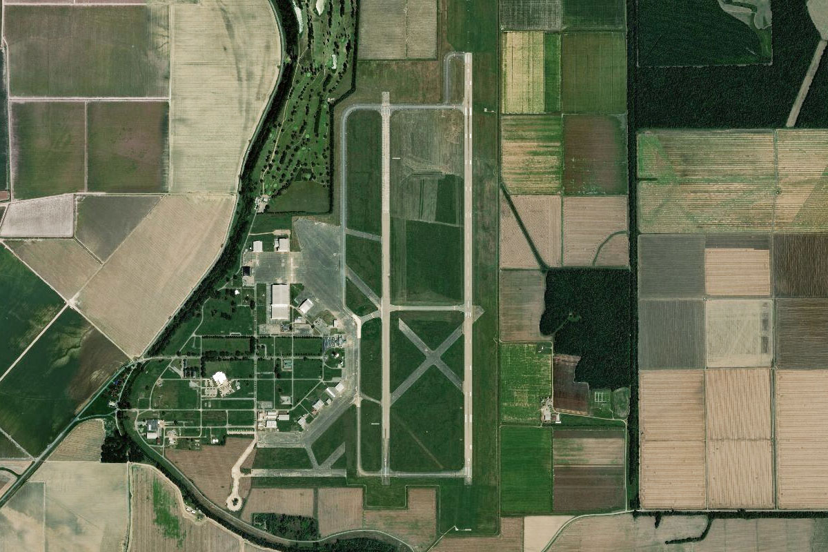
Golden Meadow(POI10) to KGAO(KGAO)
Distance: 3.73NM Bearing: 360° 2 minutes
As the sides of the river become populated, head to North Lafourge Airport, a few miles north of the highway
Leg 3
Flying from KGAO
Leg Distance: 37.67 Approximate time at 125kts: 18 minutes.
KGAO(KGAO) to Cut Off(POI11)
Distance: 8.04NM Bearing: 326° 4 minutes
Head northwest to meet up with the highway, and follow it to the town of Larose
Cut Off(POI11) to LA-1(POI12)
Distance: 7.9NM Bearing: 295° 4 minutes
From Larose, the highway will follow the canal-like Bayou Lafourche northwest
LA-1(POI12) to Raceland(POI13)
Distance: 10.08NM Bearing: 323° 5 minutes
Keep following the bayou northwest, where it will be crossed by US Highway 90 before the town of Raceland
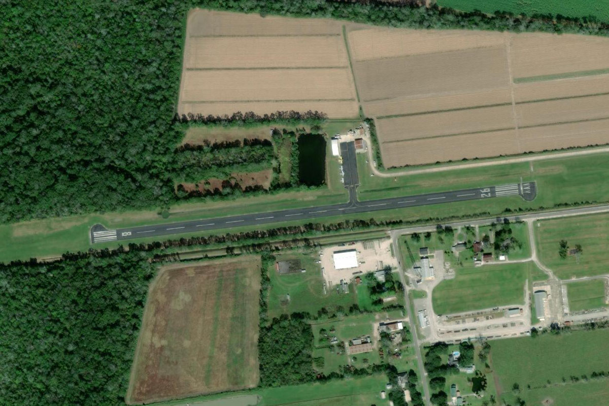
Raceland(POI13) to L83(L83)
Distance: 11.65NM Bearing: 275° 6 minutes
The bayou will turn west towards the large town of Thibodaux. The airport is a few of miles south of the town
Leg 4
Flying from L83
Leg Distance: 53.98 Approximate time at 125kts: 26 minutes.
L83(L83) to Mississippi River(POI14)
Distance: 14.05NM Bearing: 3° 7 minutes
After takeoff, head north over Thibodaux and back to the Mississippi River
Mississippi River(POI14) to Baton Rouge(POI15)
Distance: 33.39NM Bearing: 325° 16 minutes
Follow the twists and turns of the river northwest to the city of Baton Rouge, the capital of Louisiana. The city has the most northern port on the Mississippi River capable of handling large Panamax ships, and is the home of LSU – Louisiana State University, south of downtown
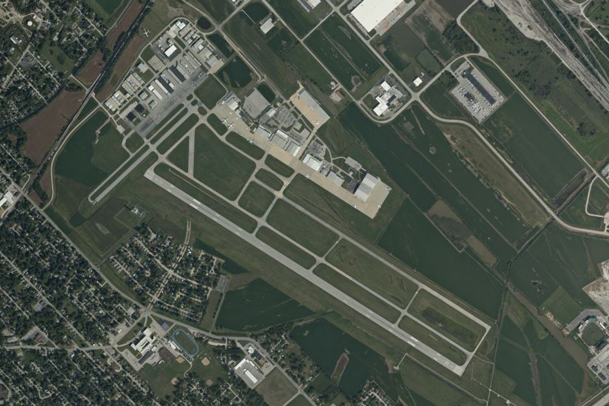
Baton Rouge(POI15) to KBTR(KBTR)
Distance: 6.54NM Bearing: 24° 3 minutes
The airport is a few miles north of the downtown area
Leg 5
Flying from KBTR
Leg Distance: 59.4 Approximate time at 125kts: 29 minutes.
KBTR(KBTR) to Mississippi River(POI16)
Distance: 11.8NM Bearing: 311° 6 minutes
After takeoff, fly northwest to meet the Mississippi River, the second longest in the USA at over 2200 miles long, and one of the most well known rivers in the world
Mississippi River(POI16) to Angola(POI17)
Distance: 23.84NM Bearing: 318° 11 minutes
Follow the river northwest
Angola(POI17) to Mary Lake(POI18)
Distance: 18.81NM Bearing: 7° 9 minutes
Follow the river north past the Three Rivers Wildlife Management Area. On the right side of the river you will pass Mary Lake, once a part of the river which was cut off forming an oxbow lake
Mary Lake(POI18) to LA40(LA40)
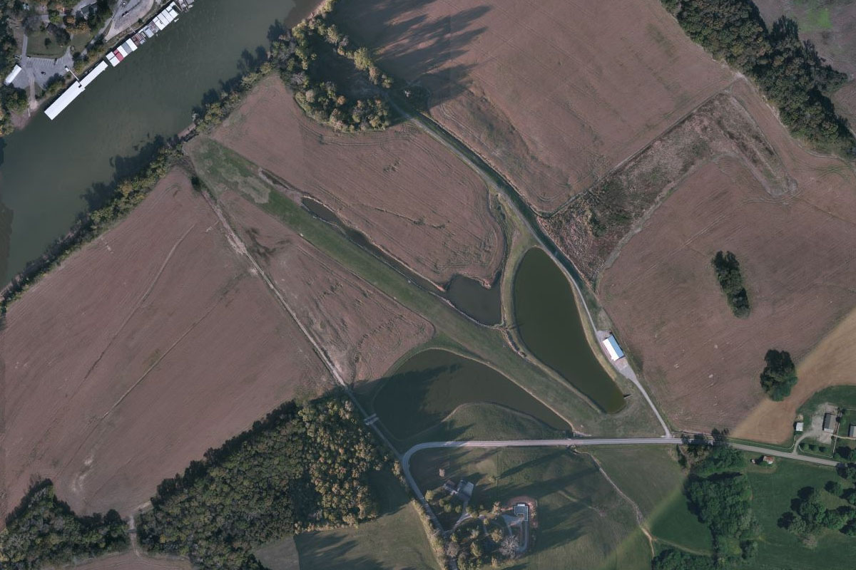
Distance: 4.95NM Bearing: 4° 2 minutes
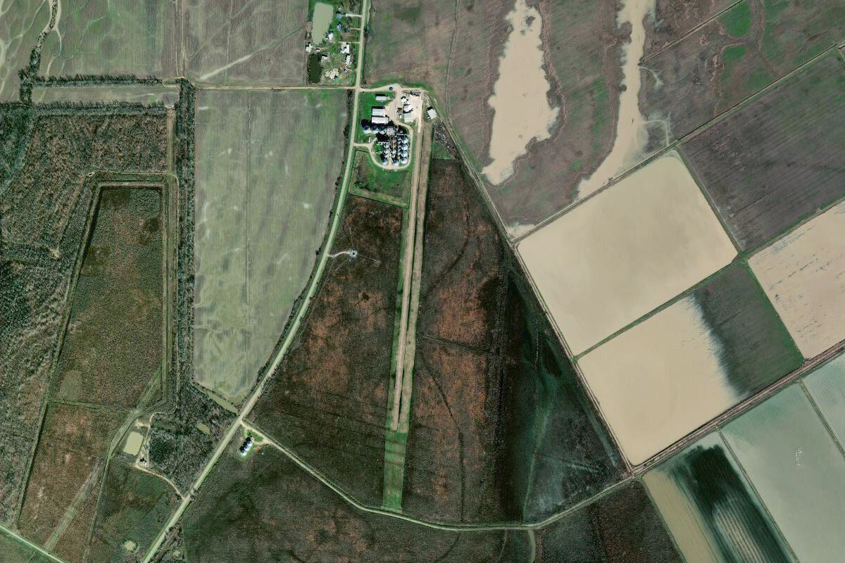
Just after the oxbow lake, where the river turns briefly to the east, head north to the small grass airstrip next to a large grain facility
Leg 6
Flying from LA40
Leg Distance: 45.52 Approximate time at 125kts: 22 minutes.
LA40(LA40) to Vidalia(POI19)
Distance: 15.87NM Bearing: 35° 8 minutes
Fly northeast over another oxbow lake and back to the river, which will lead you to between the town of Vidalia on the left bank in the state of Louisiana, and Natchez on the right bank in Mississippi
Vidalia(POI19) to Waterproof(POI20)
Distance: 17.69NM Bearing: 13° 8 minutes
Continue north along the river
Waterproof(POI20) to Saint Joseph(POI21)
Distance: 7.56NM Bearing: 65° 4 minutes
Follow the river to the northeast, passing the town of Saint Joseph on the left bank
Saint Joseph(POI21) to L33(L33)
Distance: 4.4NM Bearing: 340° 2 minutes
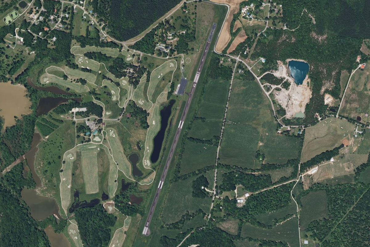
Just north of the town is the oxbow lake of Lake Bruin, with the small airport surrounded by the circular lake
Leg 7
Flying from L33
Leg Distance: 61.02 Approximate time at 125kts: 29 minutes.
L33(L33) to Mississippi River(POI22)
Distance: 14.4NM Bearing: 51° 7 minutes
After takeoff, head northeast over more oxbow lakes and back to the main river
Mississippi River(POI22) to Vicksburg(POI23)
Distance: 13.37NM Bearing: 28° 6 minutes
Follow the river northeast to the town of Vicksburg
Vicksburg(POI23) to Lake Providence(POI24)
Distance: 30.48NM Bearing: 336° 15 minutes
The river will turn back to the northwest, then head north to the town of Lake Providence on the left side of the river
Lake Providence(POI24) to 0M8(0M8)
Distance: 2.77NM Bearing: 331° 1 minutes
The small Byerley Airport is just north of the town on the north side of the oxbow lake
Leg 8
Flying from 0M8
Leg Distance: 42.33 Approximate time at 125kts: 20 minutes.
0M8(0M8) to Mississippi River(POI25)
Distance: 8.43NM Bearing: 12° 4 minutes
Fly north to once again meet up with the Mississippi River
Mississippi River(POI25) to Greenville(POI26)
Distance: 25.67NM Bearing: 7° 12 minutes
Follow the river north until you reach the large town of Greenville on the eastern bank
Greenville(POI26) to KGLH(KGLH)
Distance: 8.23NM Bearing: 48° 4 minutes
The regional airport is a few miles northeast from the town
Leg 9
Flying from KGLH
Leg Distance: 37.18 Approximate time at 125kts: 18 minutes.
KGLH(KGLH) to Mississippi River(POI27)
Distance: 16.53NM Bearing: 315° 8 minutes
After takeoff, head northwest back to the Mississippi River and into Arkansas
Mississippi River(POI27) to Dumas(POI28)
Distance: 18.14NM Bearing: 315° 9 minutes
Continue northwest over the Arkansas farmland to the town of Dumas
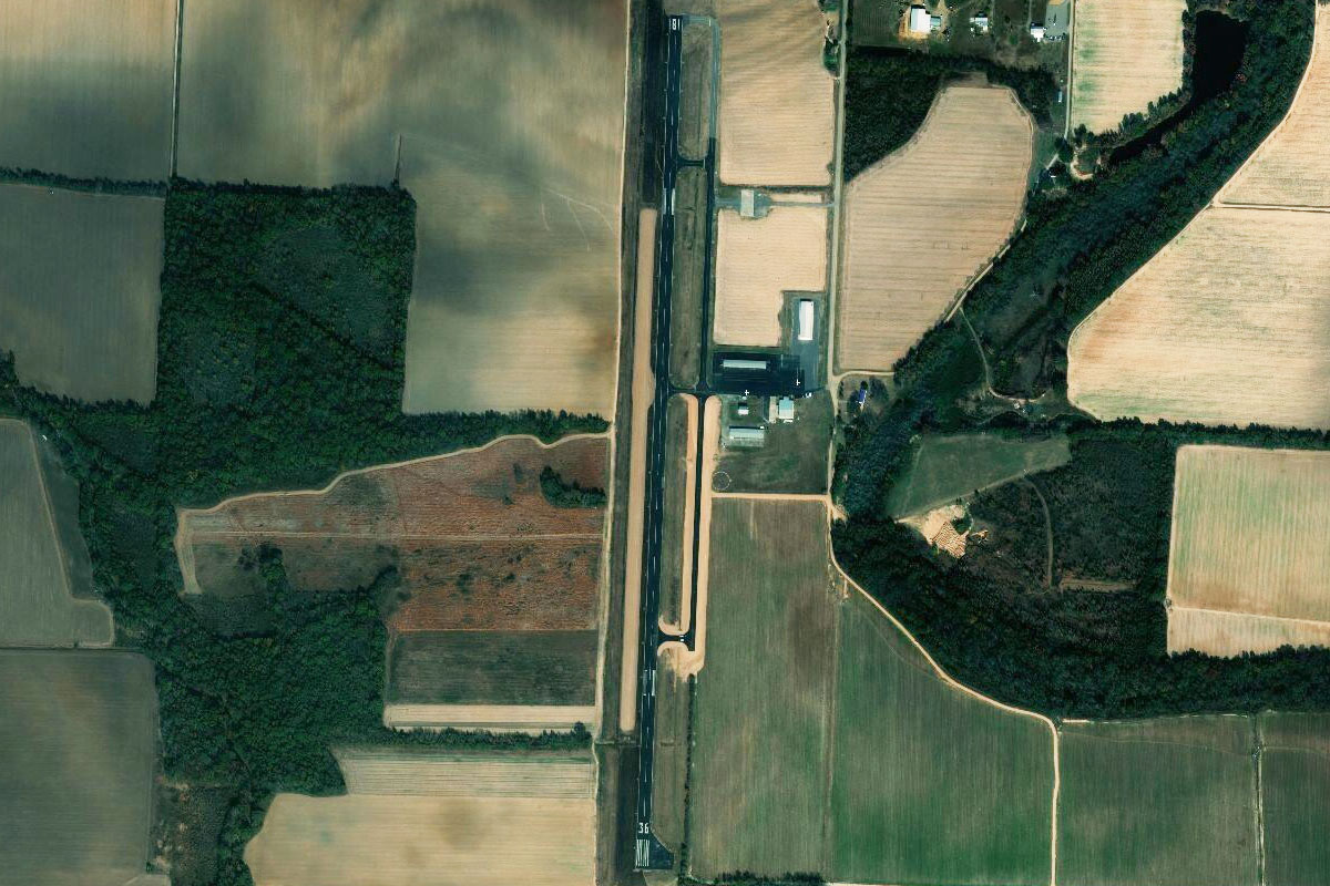
Dumas(POI28) to 0M0(0M0)
Distance: 2.51NM Bearing: 271° 1 minutes
The municipal airport lies a couple of miles west from the town
Leg 10
Flying from 0M0
Leg Distance: 65.94 Approximate time at 125kts: 32 minutes.
0M0(0M0) to Gould(POI29)
Distance: 6.17NM Bearing: 348° 3 minutes
Fly north to meet the highway heading northwest
Gould(POI29) to Pine Bluff(POI30)
Distance: 26.23NM Bearing: 305° 13 minutes
Follow the highway northwest to the city of Pine Bluff, which lies near the Arkansas River
Pine Bluff(POI30) to Arkansas River(POI31)
Distance: 30.51NM Bearing: 345° 15 minutes
From Pine Bluff, follow the Arkansas River north towards the state capital of Little Rock
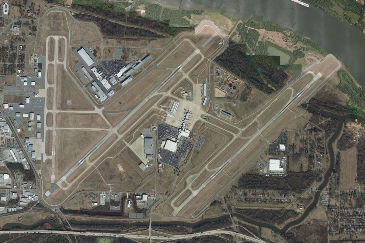
Arkansas River(POI31) to KLIT(KLIT)
Distance: 3.03NM Bearing: 283° 1 minutes
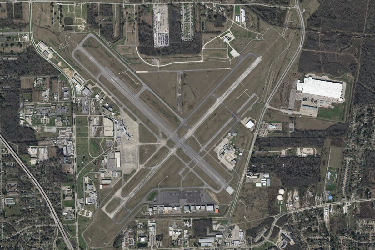
The river will turn west to downtown Little Rock, leading you to Little Rock Airport just east of the city. Originally named Adams Field, the airport is now known as Clinton National Airport, named after former US President and First Lady Bill and Hillary Clinton
Leg 11
Flying from KLIT
Leg Distance: 59.61 Approximate time at 125kts: 29 minutes.
KLIT(KLIT) to Little Rock(POI32)
Distance: 2.68NM Bearing: 293° 1 minutes
After takeoff, head west for a closer look at downtown Little Rock
Little Rock(POI32) to I-40(POI33)
Distance: 2.16NM Bearing: 4° 1 minutes
Fly north from the city to meet Interstate Highway 40 which runs east-west
I-40(POI33) to Hazen(POI34)
Distance: 37.06NM Bearing: 87° 18 minutes
Follow the highway east
Hazen(POI34) to Brinkley(POI35)
Distance: 13.68NM Bearing: 73° 7 minutes
Keep following the highway northeast towards the town of Brinkley
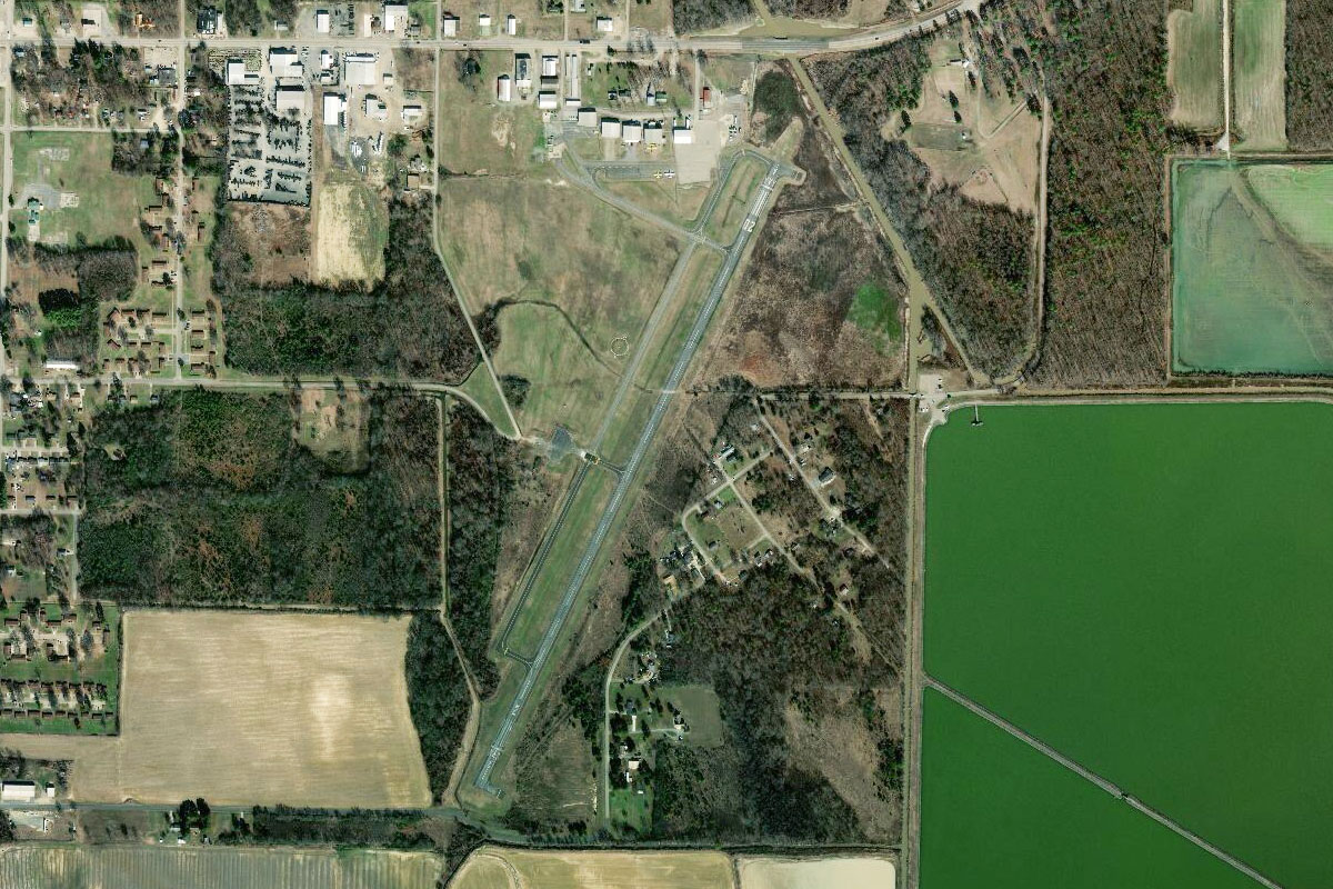
Brinkley(POI35) to M36(M36)
Distance: 4.03NM Bearing: 96° 2 minutes
Leaving the highway, fly east over the town to the airport on its eastern side
Leg 12
Flying from M36
Leg Distance: 49.9 Approximate time at 125kts: 24 minutes.
M36(M36) to Wheatley(POI36)
Distance: 4NM Bearing: 46° 2 minutes
Fly northeast to once again meet the interstate highway
Wheatley(POI36) to Forrest City(POI37)
Distance: 17.4NM Bearing: 70° 8 minutes
Follow the highway northeast past Forrest City, a large town which was founded and settled during the Civil War
Forrest City(POI37) to Crowley’s Ridge(POI38)
Distance: 15.13NM Bearing: 67° 7 minutes
Keep following the highway northeast, as it passes over the long, low ridge named Crowley's Ridge, and descends onto the flat Mississippi Delta
Crowley’s Ridge(POI38) to KAWM(KAWM)
Distance: 13.37NM Bearing: 91° 6 minutes
The highway will turn east towards West Memphis, leading you to the Municipal Airport just south of the highway before the city
Leg 13
Flying from KAWM
Leg Distance: 37.77 Approximate time at 125kts: 18 minutes.
KAWM(KAWM) to Memphis(POI39)
Distance: 8.73NM Bearing: 86° 4 minutes
Fly east across the Mississippi River to the city of Memphis, the 2nd largest city in the state of Tennessee, and named for the ancient Egyptian capital of Memphis on the Nile River. This culturally significant city is the 'Home of the Blues', a major part of the Civil Rights Movement, and also the resting place of Elvis Presley
Memphis(POI39) to East Junction(POI40)
Distance: 4.23NM Bearing: 182° 2 minutes
Head south past the city and follow the large main road of South Third Street to its junction with the freeway just northeast of the large train yard
East Junction(POI40) to Graceland(POI41)
Distance: 2.58NM Bearing: 143° 1 minutes
Flying southeast for a couple of miles will take you over Graceland, Elvis Presley's mansion estate and final resting place. Just across the road from the estate is an entertainment district and museum, complete with Elvis' Convair 880 private jet
Graceland(POI41) to BNSF Container Terminal(POI42)
Distance: 5.79NM Bearing: 98° 3 minutes
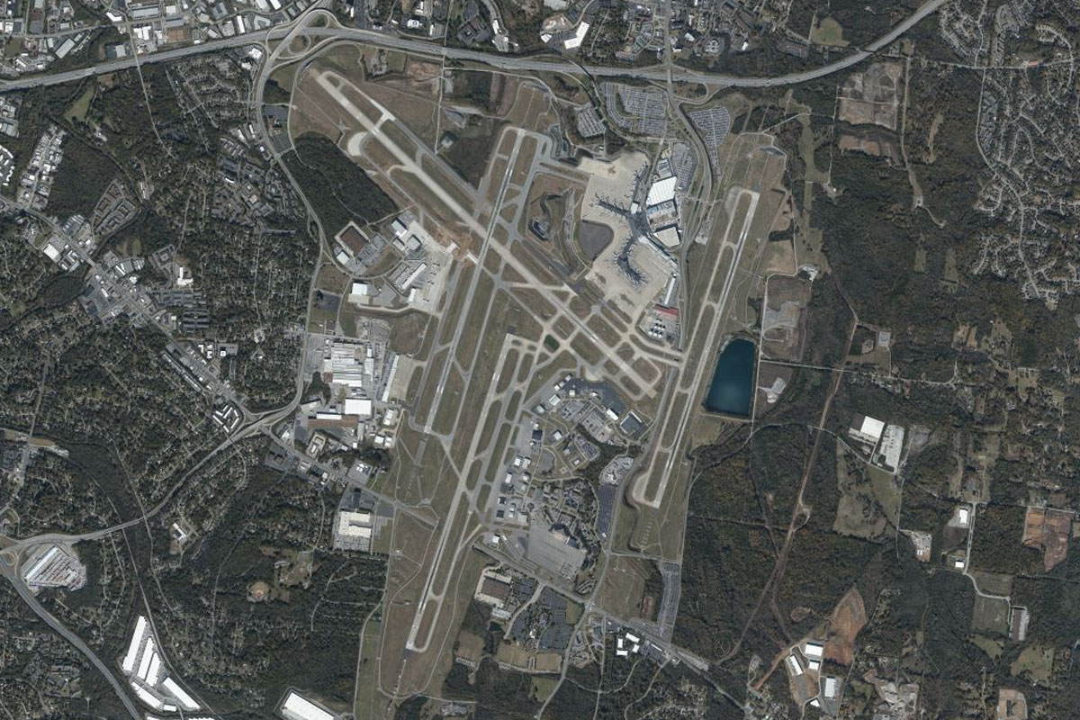
Head east over Memphis International Airport to the large rail and container yard a few miles to its east. Memphis airport is the FedEx Global Hub and busiest cargo airport in the world, and is also home to the C-17 aircraft of the Tennessee National Air Guard
BNSF Container Terminal(POI42) to Bill Morris Parkway(POI43)
Distance: 5.26NM Bearing: 89° 3 minutes
Fly east until you reach the large freeway also heading east
Bill Morris Parkway(POI43) to I-269(POI44)
Distance: 7.7NM Bearing: 96° 4 minutes
Follow the highway east until it ends at the interchange with Interstate 269 heading north-south
I-269(POI44) to 54M(54M)
Distance: 3.48NM Bearing: 68° 2 minutes
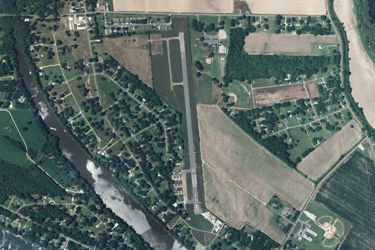
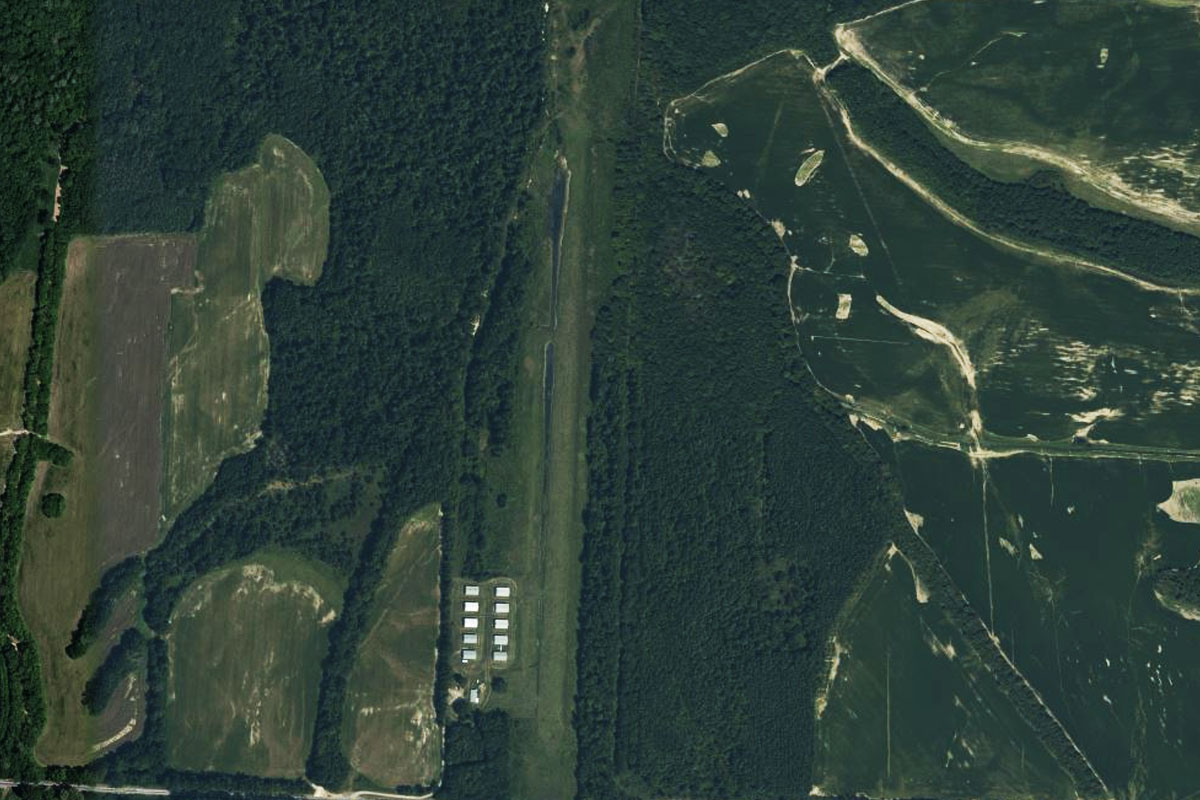
A few miles northeast of the interchange is the grass strip of Wolf River airstrip, which sits south of the tree lined river
Leg 14
Flying from 54M
Leg Distance: 50.81 Approximate time at 125kts: 24 minutes.
54M(54M) to Slayden(POI45)
Distance: 9.49NM Bearing: 135° 5 minutes
After takeoff, head southeast over the border into Mississippi, to meet national highway 72 heading east
Slayden(POI45) to US-72(POI46)
Distance: 31.83NM Bearing: 92° 15 minutes
Follow the highway as it keeps a fairly straight run east until it crosses some low lying hills west of the town of Corinth
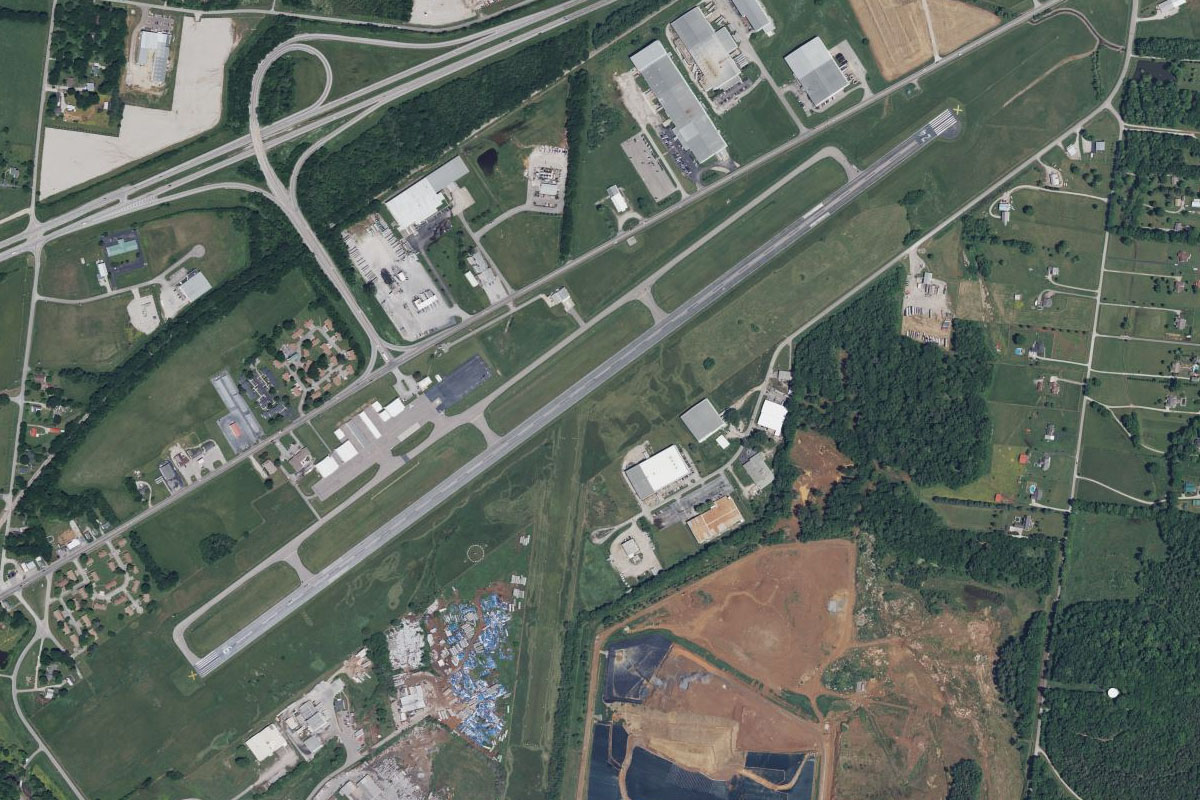
US-72(POI46) to KCRX(KCRX)
Distance: 9.49NM Bearing: 106° 5 minutes
Continue east to the local airport, which is on the south side of the highway a few miles west of the town
Leg 15
Flying from KCRX
Leg Distance: 46.78 Approximate time at 125kts: 22 minutes.
KCRX(KCRX) to Corinth(POI47)
Distance: 4.41NM Bearing: 71° 2 minutes
After takeoff, fly northeast over the nearby town of Corinth
Corinth(POI47) to Tennessee River(POI48)
Distance: 15.37NM Bearing: 45° 7 minutes
Head northeast back into Tennessee and over the flat farmland until you meet the Tennessee River, a few miles downstream from Pickwick Dam
Tennessee River(POI48) to Shiloh(POI49)
Distance: 5.01NM Bearing: 5° 2 minutes
Follow the river north past the Shiloh National Military Park and historic Civil War battleground and cemetery. Inside the park is also the National Historic Landmark of the Shiloh Indian Mounds, an ancient archaeological site
Shiloh(POI49) to Tennessee River(POI50)
Distance: 16.4NM Bearing: 46° 8 minutes
Keep following the river as it curves its way northeast
Tennessee River(POI50) to M29(M29)
Distance: 5.59NM Bearing: 112° 3 minutes
On the south side of one of the river's U-turns lies the small town of Clifton. Head to the airport on the eastern side of the town
Leg 16
Flying from M29
Leg Distance: 41.64 Approximate time at 125kts: 20 minutes.
M29(M29) to Hohenwald(POI51)
Distance: 22.52NM Bearing: 67° 11 minutes
After takeoff, fly northeast over the Tennessee countryside to the large town of Hohenwald, home to the resting place of famous explorer Meriwether Lewis a few miles southeast of the town
Hohenwald(POI51) to Columbia Highway(POI52)
Distance: 5.58NM Bearing: 67° 3 minutes
From the town, follow the Columbia Highway northeast
Columbia Highway(POI52) to Columbia Highway(POI53)
Distance: 6.52NM Bearing: 105° 3 minutes
Stay with the highway as it travels east through a shallow valley
Columbia Highway(POI53) to KMRC(KMRC)
Distance: 7.02NM Bearing: 101° 3 minutes
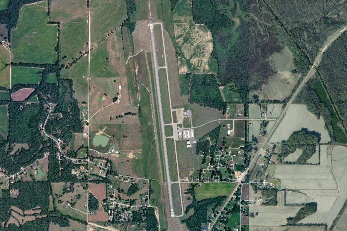
As the highway disappears to the north, continue east to the town of Mount Pleasant, and the airport to its north
Leg 17
Flying from KMRC
Leg Distance: 46.16 Approximate time at 125kts: 22 minutes.
KMRC(KMRC) to Columbia(POI54)
Distance: 8.01NM Bearing: 65° 4 minutes
Fly northeast to the nearby city of Columbia
Columbia(POI54) to Spring Hill(POI55)
Distance: 8.45NM Bearing: 35° 4 minutes
Follow the Nashville Highway which runs northeast from Columbia until you reach the interchange next to the General Motors factory at Spring Hill, the company's largest manufacturing facility in the country
Spring Hill(POI55) to I-65(POI56)
Distance: 3.58NM Bearing: 94° 2 minutes
Fly a few miles east to the junction with Interstate Highway 65 heading north
I-65(POI56) to Radnor Yard(POI57)
Distance: 21.3NM Bearing: 19° 10 minutes
Follow I-65 north until you reach the large rail yard a few miles south of Nashville
Radnor Yard(POI57) to KBNA(KBNA)
Distance: 4.82NM Bearing: 63° 2 minutes
Head northeast to Nashville International Airport, home of a large maintenance facility for Embraer aircraft
Leg 18
Flying from KBNA
Leg Distance: 46.96 Approximate time at 125kts: 23 minutes.
KBNA(KBNA) to Music Valley(POI58)
Distance: 6.1NM Bearing: 358° 3 minutes
Head north after takeoff and tucked inside a U-turn of the Cumberland River you will find Music Valley, home of country music's famous Grand Ole Opry theater and radio show as well as a country themed leisure and hotel district
Music Valley(POI58) to Nashville(POI59)
Distance: 5.44NM Bearing: 232° 3 minutes
Turn southwest and head for downtown Nashville, capital of Tennessee and major music hub, especially for country music. Across the river from downtown is the Tennessee Titans home football stadium
Nashville(POI59) to Cumberland River(POI60)
Distance: 10.96NM Bearing: 289° 5 minutes
Follow the Cumberland River as it winds its way west
Cumberland River(POI60) to Cumberland River(POI61)
Distance: 12.87NM Bearing: 304° 6 minutes
Keep following the river northwest
Cumberland River(POI61) to Cumberland River(POI62)
Distance: 10.32NM Bearing: 341° 5 minutes
Follow the river as it heads north to the city of Clarksville
Cumberland River(POI62) to TN23(TN23)
Distance: 1.27NM Bearing: 326° 1 minutes
On the south bank of the river is a small grass airstrip set in a rural suburb a few miles southeast of Clarksville
Leg 19
Flying from TN23
Leg Distance: 51.49 Approximate time at 125kts: 25 minutes.
TN23(TN23) to Clarksville(POI63)
Distance: 3.82NM Bearing: 321° 2 minutes
After takeoff, head northeast over the nearby city of Clarksville
Clarksville(POI63) to Fort Campbell(POI64)
Distance: 9.06NM Bearing: 272° 4 minutes
Head west over the large quarry on the northwest bank of the river's U-turn, then continue west to meet the highway (US-79) also heading west
Fort Campbell(POI64) to US-79(POI65)
Distance: 8.61NM Bearing: 285° 4 minutes
Keep following the highway west. On the north side of the highway lies Fort Campbell, a large US Army installation and home of the famed 101st Airborne Division
US-79(POI65) to Land Between the Lakes(POI66)
Distance: 15.72NM Bearing: 287° 8 minutes
When the highway turns away to the south, continue west over the Cumberland River to Kentucky Lake. Between the two bodies of water is the Land Between the Lakes National Recreation Area
Land Between the Lakes(POI66) to Eggner Ferry Bridge(POI67)
Distance: 9.48NM Bearing: 343° 5 minutes
Head north along the lake, also known as the Tennessee River, until you reach the Eggner Ferry Bridge. This part of the lake lies in the state of Kentucky
Eggner Ferry Bridge(POI67) to 42KY(42KY)
Distance: 4.8NM Bearing: 276° 2 minutes
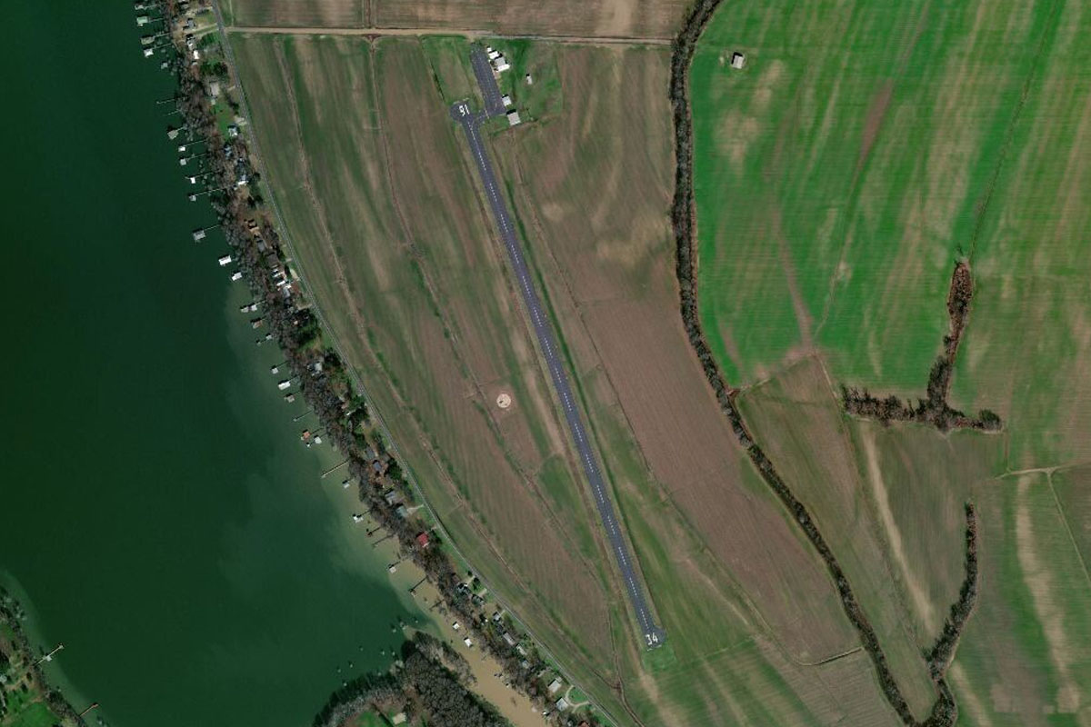
From the bridge, turn west and head for the small airstrip on the shore of Jonathan Creek, an inlet on the western side of the lake
Leg 20
Flying from 42KY
Leg Distance: 41.87 Approximate time at 125kts: 20 minutes.
42KY(42KY) to Kentucky Lake(POI68)
Distance: 11.5NM Bearing: 1° 6 minutes
After takeoff, head north to the lake
Kentucky Lake(POI68) to Tennessee River(POI69)
Distance: 7.06NM Bearing: 323° 3 minutes
Follow the lake northwest to Kentucky Dam, where it narrows into the Tennessee River
Tennessee River(POI69) to Paducah(POI70)
Distance: 11.91NM Bearing: 278° 6 minutes
Follow the river west to where it meets the Ohio River at the city of Paducah
Paducah(POI70) to Metropolis(POI71)
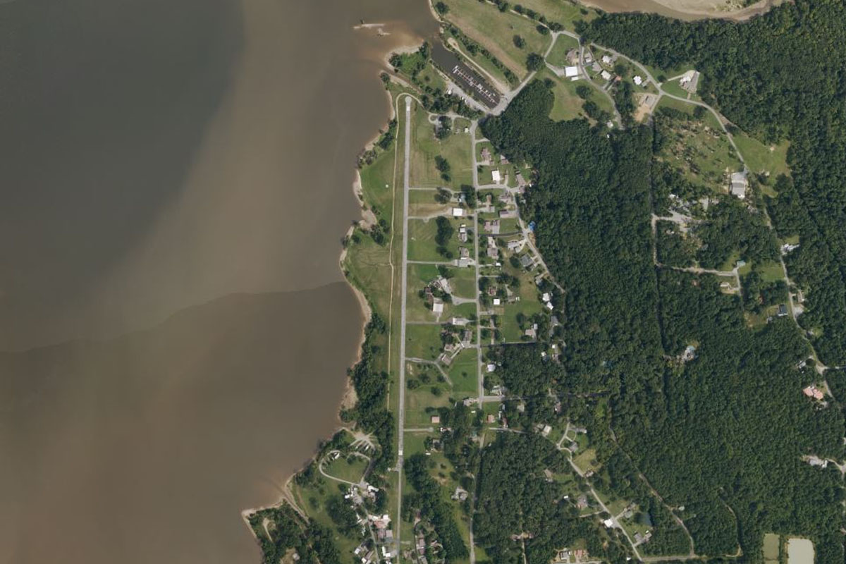
Distance: 9.73NM Bearing: 303° 5 minutes
Continue northwest along the river to the town of Metropolis on the north bank. The state of Illinois lies on the north side of the river
Metropolis(POI71) to M30(M30)
Distance: 1.67NM Bearing: 5° 1 minutes
Metropolis Municipal Airport lies a mile northwest from the town
Leg 21
Flying from M30
Leg Distance: 39.59 Approximate time at 125kts: 19 minutes.
M30(M30) to Ohio River(POI72)
Distance: 10.91NM Bearing: 286° 5 minutes
After takeoff, head west back to the river
Ohio River(POI72) to Mississippi River(POI73)
Distance: 23.54NM Bearing: 271° 11 minutes
When the river turns away to the south, continue west across land until you reach the Mississippi River. Here the river forms the border between Illinois and Missouri
Mississippi River(POI73) to KCGI(KCGI)
Distance: 5.14NM Bearing: 282° 2 minutes
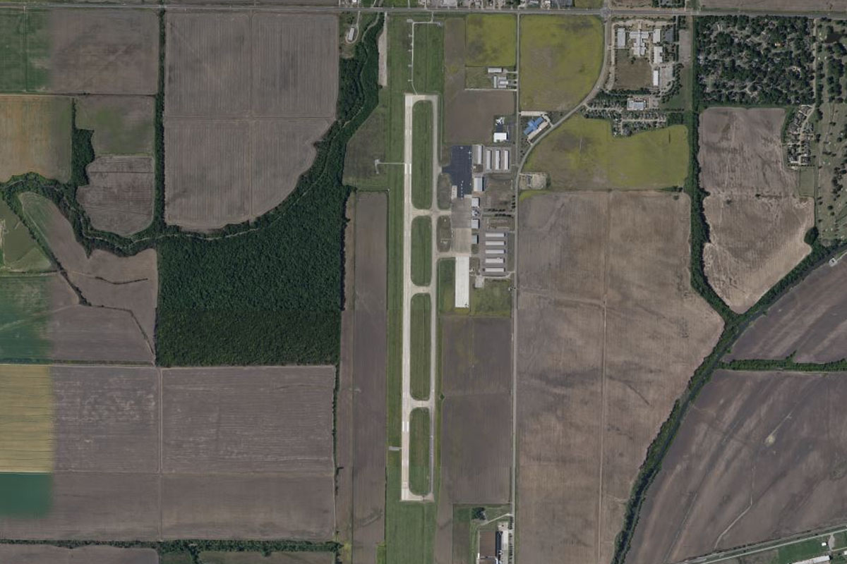
Just west of the river is the town of Scott City, with Cape Girardeau Regional Airport just west of the town
Leg 22
Flying from KCGI
Leg Distance: 51.76 Approximate time at 125kts: 25 minutes.
KCGI(KCGI) to Cape Girardeau(POI74)
Distance: 5.93NM Bearing: 31° 3 minutes
Fly northeast over the city of Cape Girardeau and back to the Mississippi River
Cape Girardeau(POI74) to Mississippi River(POI75)
Distance: 4.49NM Bearing: 61° 2 minutes
Follow the river northeast
Mississippi River(POI75) to Mississippi River(POI76)
Distance: 20.95NM Bearing: 351° 10 minutes
Follow the river north along the upper Mississippi River floodplain, which extends east of the river
Mississippi River(POI76) to Mississippi River(POI77)
Distance: 16.64NM Bearing: 314° 8 minutes
Keep following the river as it turns northwest, giving you a perfect view of the wide floodplain
Mississippi River(POI77) to KPCD(KPCD)
Distance: 3.75NM Bearing: 265° 2 minutes
In the center of the plain is Perryville Municipal Airport, just south of the river and the town of Chester
Leg 23
Flying from KPCD
Leg Distance: 52.83 Approximate time at 125kts: 25 minutes.
KPCD(KPCD) to Mississippi River(POI78)
Distance: 29.33NM Bearing: 316° 14 minutes
After takeoff, continue northwest along the river
Mississippi River(POI78) to Columbia(POI79)
Distance: 16.53NM Bearing: 15° 8 minutes
As the river turns north towards St Louis, follow the eastern edge of the floodplain to the highway junction at the town of Columbia
Columbia(POI79) to KCPS(KCPS)
Distance: 6.97NM Bearing: 34° 3 minutes
Following the highway northeast will lead you to St Louis Downtown airport a few miles southeast from the city, and the destination for this stage