Stage 44 will take you north into Canada. Starting at St. Louis, you’ll continue the journey along the Mississippi River passing through the states of Illinois, Missouri, Iowa and Wisconsin on the way to the twin cities of St. Paul and Minneapolis, which lies across the river in Minnesota. The second half of the stage will leave the Mississippi River and head north to Lake Superior, the largest of the Great Lakes, where you will follow its north shore east into the Canadian state of Ontario and finishing in the city of Sault Ste. Marie on the southeastern tip of the lake
Total Legs: 23 Total Distance: 1219 Total Time(125kts): 9 hours 45 minutes
Leg 1
Flying from KCPS
Leg Distance: 38.76 Approximate time at 125kts: 19 minutes.
KCPS(KCPS) to I-255(POI1)
Distance: 2.34NM Bearing: 73° 1 minutes
After takeoff, head northeast to meet Interstate Highway 255 also heading northeast
I-255(POI1) to Cahokia Mounds(POI2)
Distance: 6.48NM Bearing: 37° 3 minutes
Follow the highway northeast to the cloverleaf junction next to the horse racing track at Fairmont Park. On the way, to your left is the Cahokia Mounds State Historic Site – once an ancient Native American city and a UNESCO World Heritage Site
Cahokia Mounds(POI2) to St. Louis(POI3)
Distance: 7.49NM Bearing: 250° 4 minutes
Turn left at the junction and head west towards downtown St. Louis, the most notable structure being the Gateway Arch, which was opened in 1967 as a monument to the western expansion of the United States
St. Louis(POI3) to Forest Park(POI4)
Distance: 5.19NM Bearing: 282° 2 minutes
Fly west over the city to Forest Park, the large public park a few miles west of the city which in 1904 hosted the Louisiana Purchase Exposition (World's Fair) and Summer Olympics, and is now the site of one of the world's leading zoos
Forest Park(POI4) to I-64(POI5)
Distance: 10.47NM Bearing: 272° 5 minutes
Continue west, following the highway that runs along the south side of the park
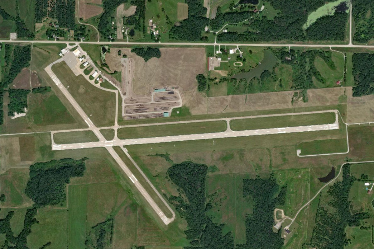
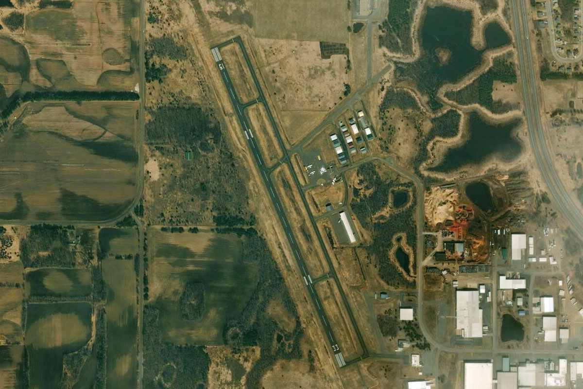
I-64(POI5) to KSUS(KSUS)
Distance: 6.79NM Bearing: 283° 3 minutes
Head to Spirit of St Louis Airport, just south of where the highway crosses the river. The airport was named in honor of the aircraft which made the first solo nonstop transatlantic flight, flown by Charles Lindbergh
Leg 2
Flying from KSUS
Leg Distance: 39.56 Approximate time at 125kts: 19 minutes.
KSUS(KSUS) to Mississippi River(POI6)
Distance: 15.85NM Bearing: 360° 8 minutes
After takeoff, head north over the Missouri River and on to the Mississippi River also heading north
Mississippi River(POI6) to Mozier Island(POI7)
Distance: 20.41NM Bearing: 351° 10 minutes
Follow the river north until it starts to turn northwest at Mozier Island, a large forested island in the middle of the river
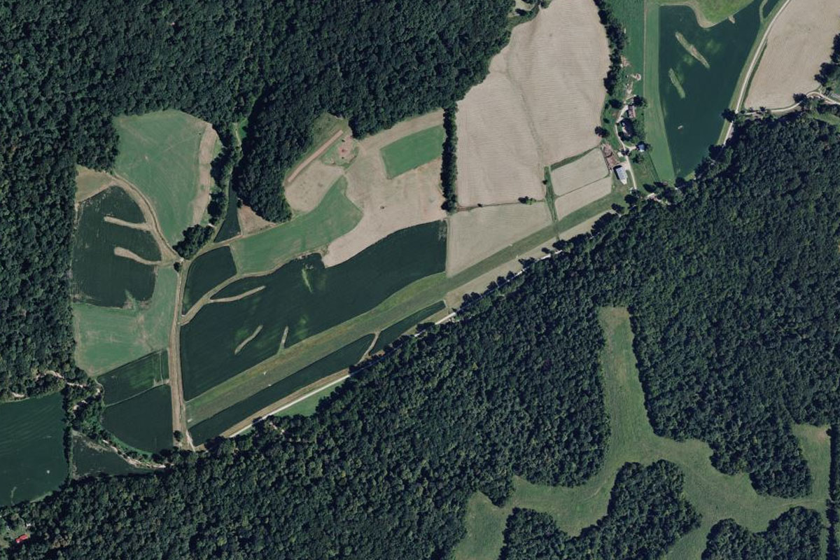
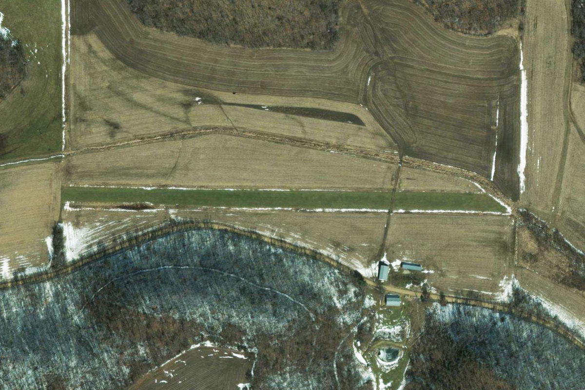
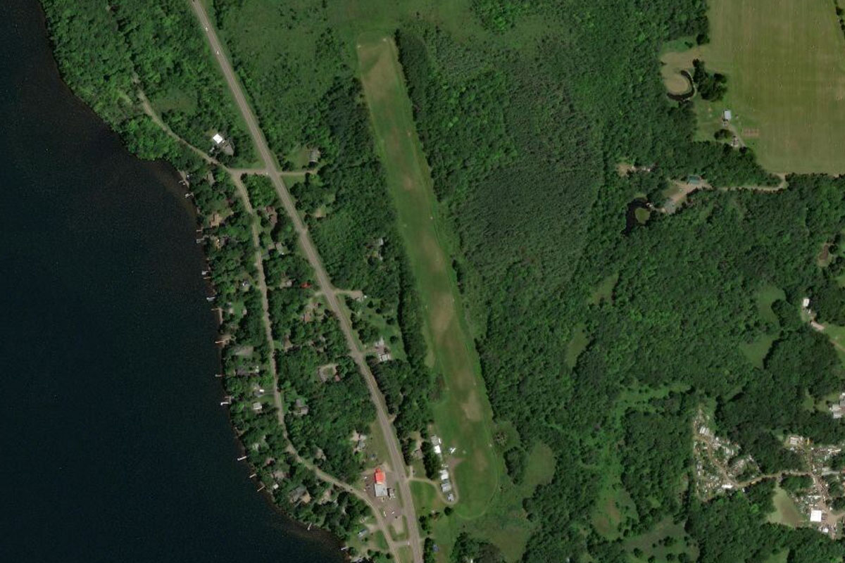
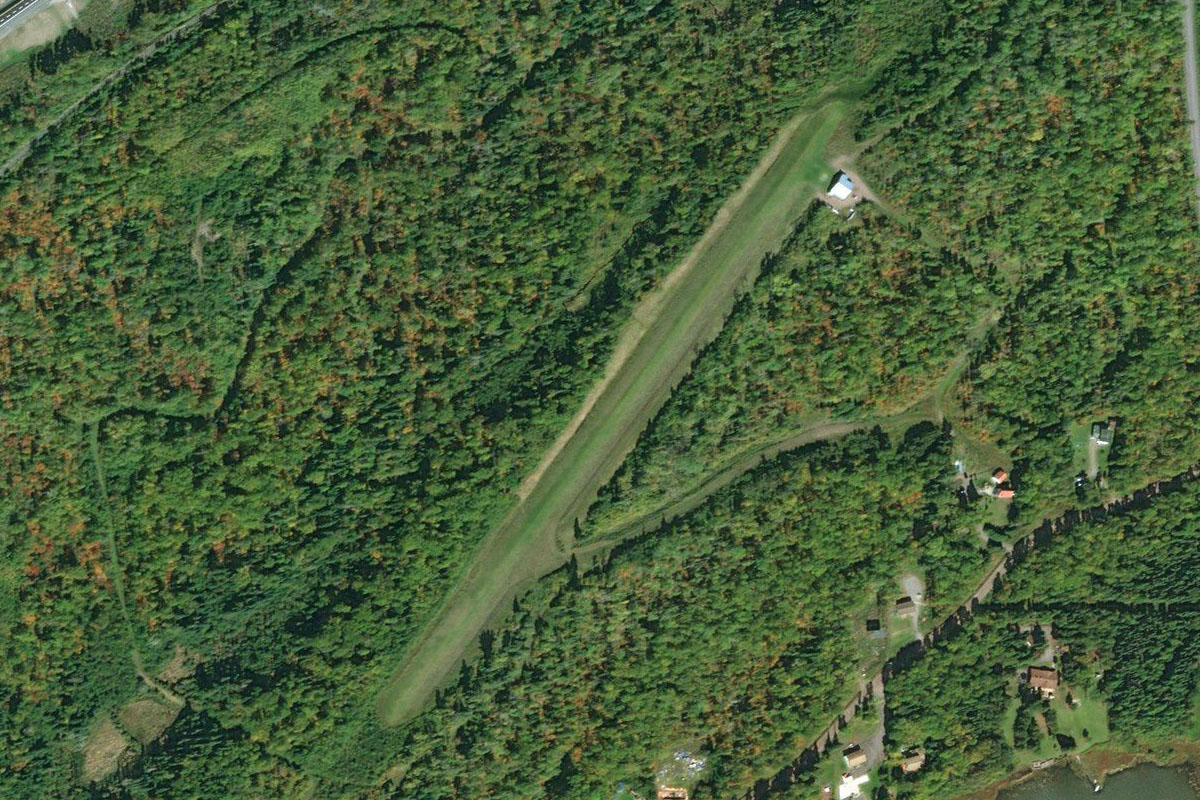
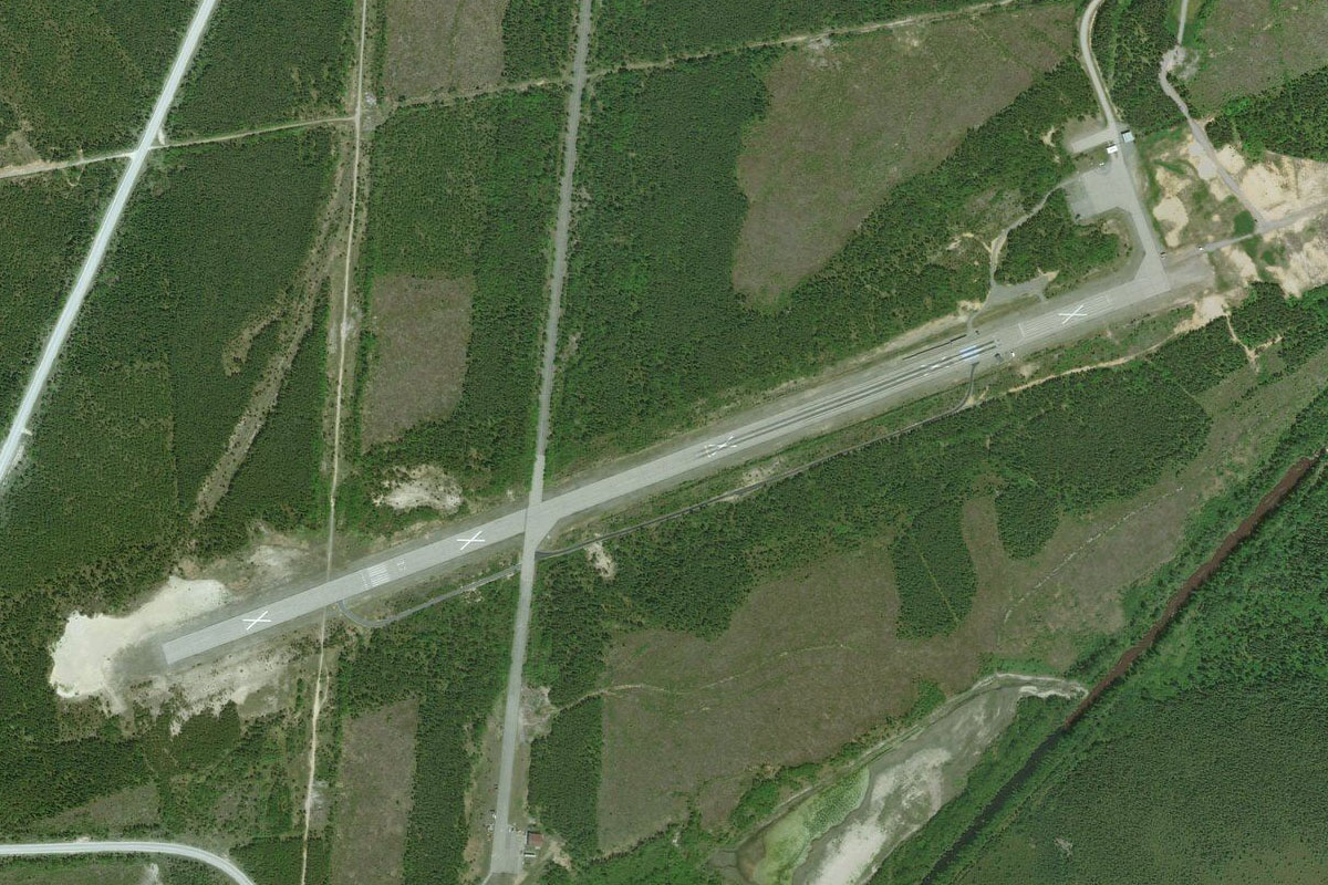
Mozier Island(POI7) to LL77(LL77)
Distance: 3.3NM Bearing: 37° 2 minutes
Head northeast to the small grass airfield a few miles east of the river, in a hollow just north of the road
Leg 3
Flying from LL77
Leg Distance: 43.66 Approximate time at 125kts: 21 minutes.
LL77(LL77) to Mississippi River(POI8)
Distance: 19.54NM Bearing: 303° 9 minutes
Head northwest back to the river
Mississippi River(POI8) to Hannibal(POI9)
Distance: 19.94NM Bearing: 319° 10 minutes
Follow the river northwest to the large town of Hannibal, on the western bank of the river in Missouri
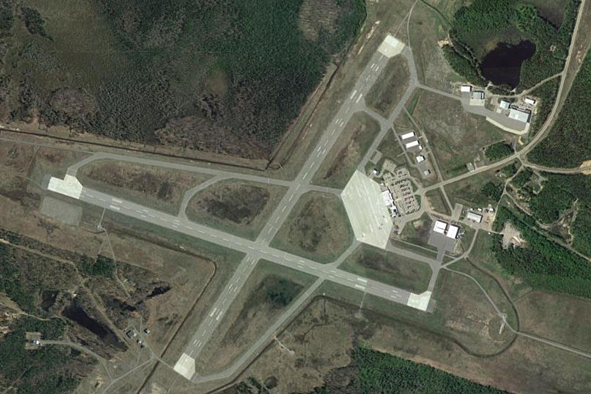
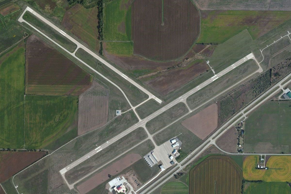
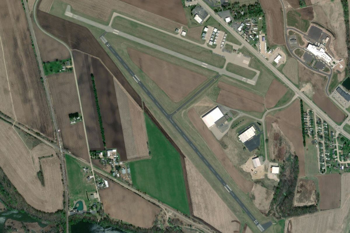
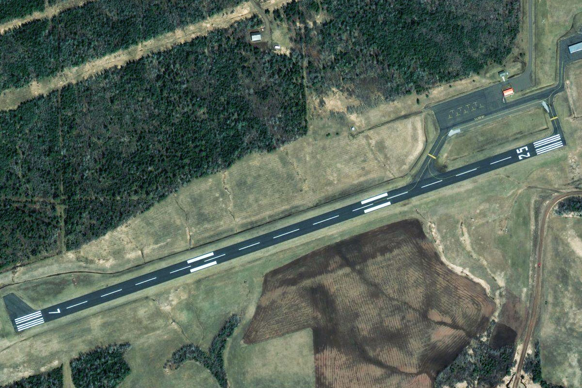
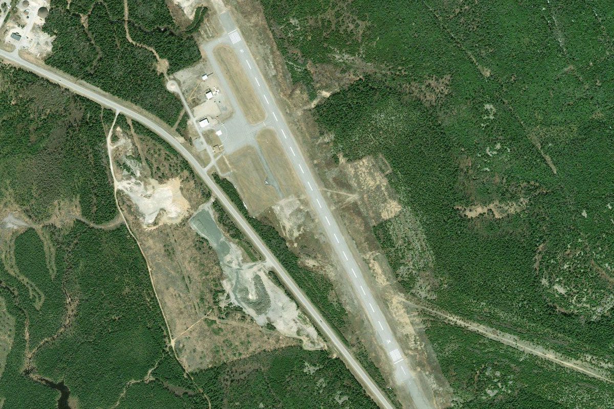
Hannibal(POI9) to KHAE(KHAE)
Distance: 4.18NM Bearing: 279° 2 minutes
The regional airport lies just west of the town
Leg 4
Flying from KHAE
Leg Distance: 45.45 Approximate time at 125kts: 22 minutes.
KHAE(KHAE) to Quincy(POI10)
Distance: 12.56NM Bearing: 6° 6 minutes
After takeoff, head north to follow the Mississippi River north past the city of Quincy
Quincy(POI10) to Canton(POI11)
Distance: 13.7NM Bearing: 343° 7 minutes
Follow the river northwest past the towns of La Grange and Canton on the Missouri (western) side
Canton(POI11) to Mud Island(POI12)
Distance: 13.87NM Bearing: 18° 7 minutes
Keep following the river north until it narrows and turns east at Mud Island
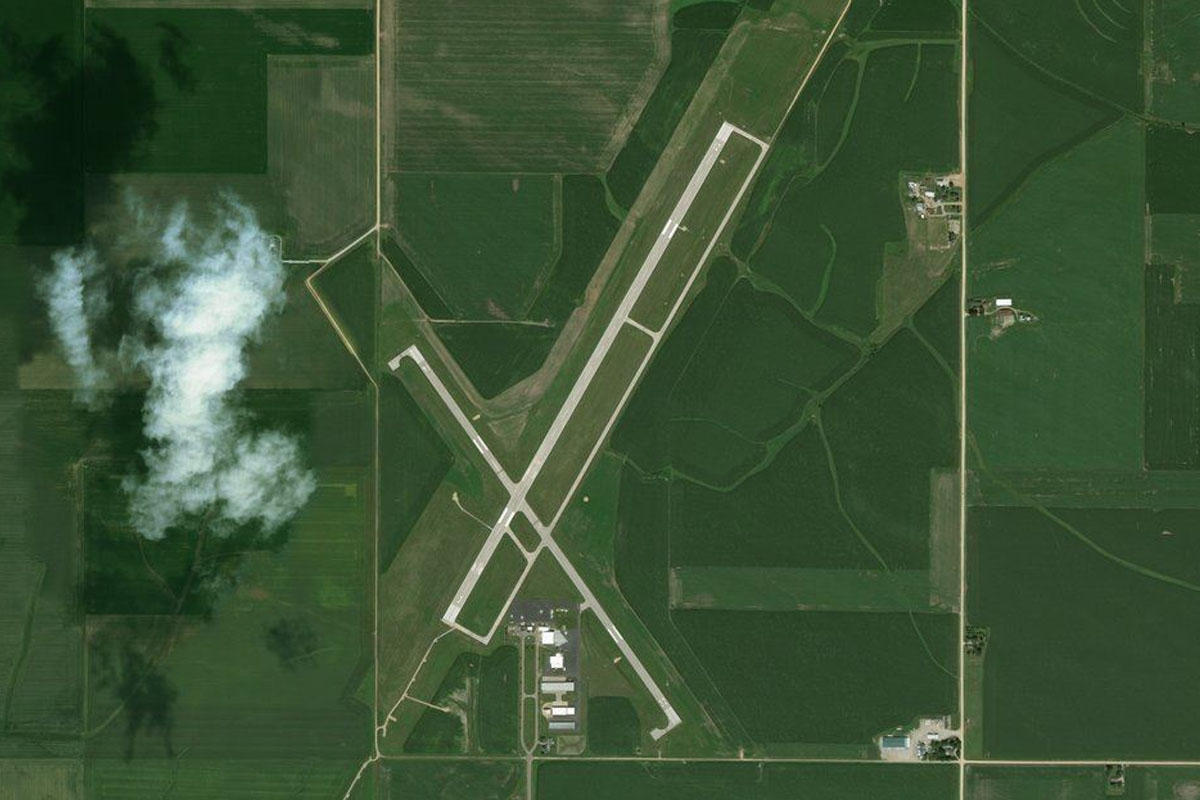
Mud Island(POI12) to KEOK(KEOK)
Distance: 5.32NM Bearing: 360° 3 minutes
Fly north into Iowa, passing to the west of the town of Keokuk, to the airport a few miles northwest from the town
Leg 5
Flying from KEOK
Leg Distance: 67.9 Approximate time at 125kts: 33 minutes.
KEOK(KEOK) to Nauvoo(POI13)
Distance: 6.06NM Bearing: 8° 3 minutes
After takeoff, head north back to the river
Nauvoo(POI13) to Mississippi River(POI14)
Distance: 15.94NM Bearing: 63° 8 minutes
Follow the river northeast
Mississippi River(POI14) to Burlington(POI15)
Distance: 7.96NM Bearing: 6° 4 minutes
Stay with the river as it turns north to the large regional town of Burlington
Burlington(POI15) to Oquawka(POI16)
Distance: 9.49NM Bearing: 40° 5 minutes
Follow the river back to the northeast
Oquawka(POI16) to Mississippi River(POI17)
Distance: 10.45NM Bearing: 1° 5 minutes
The river will head north over the Mississippi River Islands Wildlife Management Area
Mississippi River(POI17) to Port Louisa(POI18)
Distance: 10.72NM Bearing: 321° 5 minutes
Keep following the river as it heads northwest past the junction with the Iowa River
Port Louisa(POI18) to KMUT(KMUT)
Distance: 7.28NM Bearing: 349° 3 minutes
When the river turns north towards the city of Muscatine, head to the municipal airport a few miles southwest from the town
Leg 6
Flying from KMUT
Leg Distance: 53.87 Approximate time at 125kts: 26 minutes.
KMUT(KMUT) to Muscatine(POI19)
Distance: 6.43NM Bearing: 59° 3 minutes
Fly northeast back to the river at the town of Muscatine
Muscatine(POI19) to Davenport(POI20)
Distance: 23.4NM Bearing: 79° 11 minutes
Follow the river to the city of Davenport, which make up part of the Quad Cities region along with Bettendorf in Iowa and Rock Island and Moline on the south side of the river in Illinois
Davenport(POI20) to La Claire(POI21)
Distance: 9.49NM Bearing: 60° 5 minutes
Continue northeast along the river
La Claire(POI21) to Princeton Wildlife Management Area(POI22)
Distance: 9.31NM Bearing: 9° 4 minutes
The river will once again head north past another forested group of islands and wildlife management area
Princeton Wildlife Management Area(POI22) to KCWI(KCWI)
Distance: 5.24NM Bearing: 355° 3 minutes
As the river turns back to the northeast, head north to Clinton Municipal Airport a couple of miles northwest from a large chemical plant
Leg 7
Flying from KCWI
Leg Distance: 53.44 Approximate time at 125kts: 26 minutes.
KCWI(KCWI) to Mississippi River(POI23)
Distance: 22.12NM Bearing: 2° 11 minutes
After takeoff, follow the farmland grid north until you once again reach the Mississippi River, where on the north side you will see the former weapons depot of Savanna Army Depot
Mississippi River(POI23) to Dubuque(POI24)
Distance: 22.85NM Bearing: 324° 11 minutes
Follow the river northwest to the city of Dubuque, which lies on the western bank of the river in Iowa. On the eastern side of the river is the border between Illinois and Wisconsin, giving the local region the name of Tri-State Area
Dubuque(POI24) to Meadows Golf Club(POI25)
Distance: 6.36NM Bearing: 277° 3 minutes
Fly west over the downtown area to Meadows Golf Club which lies past the outer suburbs
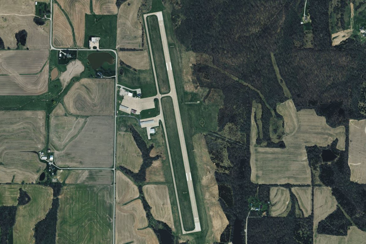
Meadows Golf Club(POI25) to IA54(IA54)
Distance: 2.11NM Bearing: 263° 1 minutes
A couple of miles further west is the small airfield on a bluff overlooking the Little Maquoketa River
Leg 8
Flying from IA54
Leg Distance: 37.92 Approximate time at 125kts: 18 minutes.
IA54(IA54) to Mississippi River(POI26)
Distance: 10.11NM Bearing: 359° 5 minutes
Fly north over the picturesque farmland to meet the river
Mississippi River(POI26) to Guttenberg(POI27)
Distance: 12.16NM Bearing: 302° 6 minutes
Follow the river northwest
Guttenberg(POI27) to Wisconsin River(POI28)
Distance: 13.52NM Bearing: 350° 6 minutes
The river will turn north before narrowing through a shallow valley
Wisconsin River(POI28) to KPDC(KPDC)
Distance: 2.13NM Bearing: 42° 1 minutes
As you near the large regional town of Prairie du Chien, head to the airport on the town's south side
Leg 9
Flying from KPDC
Leg Distance: 55.36 Approximate time at 125kts: 27 minutes.
KPDC(KPDC) to Prairie du Chien(POI29)
Distance: 7.42NM Bearing: 346° 4 minutes
After takeoff, fly north over the town to where the river splits around a delta
Prairie du Chien(POI29) to Mississippi River(POI30)
Distance: 10.28NM Bearing: 25° 5 minutes
The river will turn to the northeast
Mississippi River(POI30) to Mississippi River(POI31)
Distance: 9.91NM Bearing: 319° 5 minutes
Follow the river back to the northwest and another large river delta
Mississippi River(POI31) to KLSE(KLSE)
Distance: 27.75NM Bearing: 359° 13 minutes
Continue north along the river to the city of La Crosse. The airport is north of the city on French Island
Leg 10
Flying from KLSE
Leg Distance: 57.28 Approximate time at 125kts: 27 minutes.
KLSE(KLSE) to Winona(POI32)
Distance: 24.52NM Bearing: 306° 12 minutes
Follow the river northwest past the town of Winona
Winona(POI32) to Wabasha(POI33)
Distance: 21.61NM Bearing: 326° 10 minutes
Continue northwest to the town of Wabasha, where a bridge and long causeway connects Wabasha with Nelson on the north side of the river
Wabasha(POI33) to Chippewa River(POI34)
Distance: 7.67NM Bearing: 356° 4 minutes
Head north along the Chippewa River, which joins the Mississippi River just after the bridge
Chippewa River(POI34) to 25WN(25WN)
Distance: 3.48NM Bearing: 274° 2 minutes
After passing some hills on the left bank, a small highway will lead you a few miles west to the airfield which lies in the middle of a group of hills
Leg 11
Flying from 25WN
Leg Distance: 51.39 Approximate time at 125kts: 25 minutes.
25WN(25WN) to Old Frontenac(POI35)
Distance: 8.27NM Bearing: 274° 4 minutes
After takeoff, head west back to the Mississippi River
Old Frontenac(POI35) to Red Wing(POI36)
Distance: 9.87NM Bearing: 287° 5 minutes
Follow the river west to where it once again narrows near the town of Red Wing
Red Wing(POI36) to Saint Croix River(POI37)
Distance: 15.46NM Bearing: 311° 7 minutes
Follow the river northwest to where it meets the Saint Croix River
Saint Croix River(POI37) to Mississippi River(POI38)
Distance: 8.92NM Bearing: 288° 4 minutes
Continue west along the river to where it turns north
Mississippi River(POI38) to KSTP(KSTP)
Distance: 8.87NM Bearing: 346° 4 minutes
Follow the river north to St Paul Downtown Airport, which lies inside a U-turn in the river
Leg 12
Flying from KSTP
Leg Distance: 49.57 Approximate time at 125kts: 24 minutes.
KSTP(KSTP) to St. Paul(POI39)
Distance: 1.74NM Bearing: 302° 1 minutes
After takeoff, head northeast over the river to the state capital, St. Paul
St. Paul(POI39) to Minneapolis(POI40)
Distance: 7.46NM Bearing: 284° 4 minutes
Continue west to Minneapolis, the state's largest city and together with St. Paul are known as the 'Twin Cities'
Minneapolis(POI40) to Coon Rapids Dam(POI41)
Distance: 9.61NM Bearing: 352° 5 minutes
From the city, turn north and follow the Mississippi River north
Coon Rapids Dam(POI41) to Elk River(POI42)
Distance: 14.44NM Bearing: 310° 7 minutes
Keep following the river as it heads northwest, then north to a small U-turn at the town of Elk River
Elk River(POI42) to Zimmerman(POI43)
Distance: 9.44NM Bearing: 354° 5 minutes
Continue north from the U-turn and follow US highway 169 north away from the river
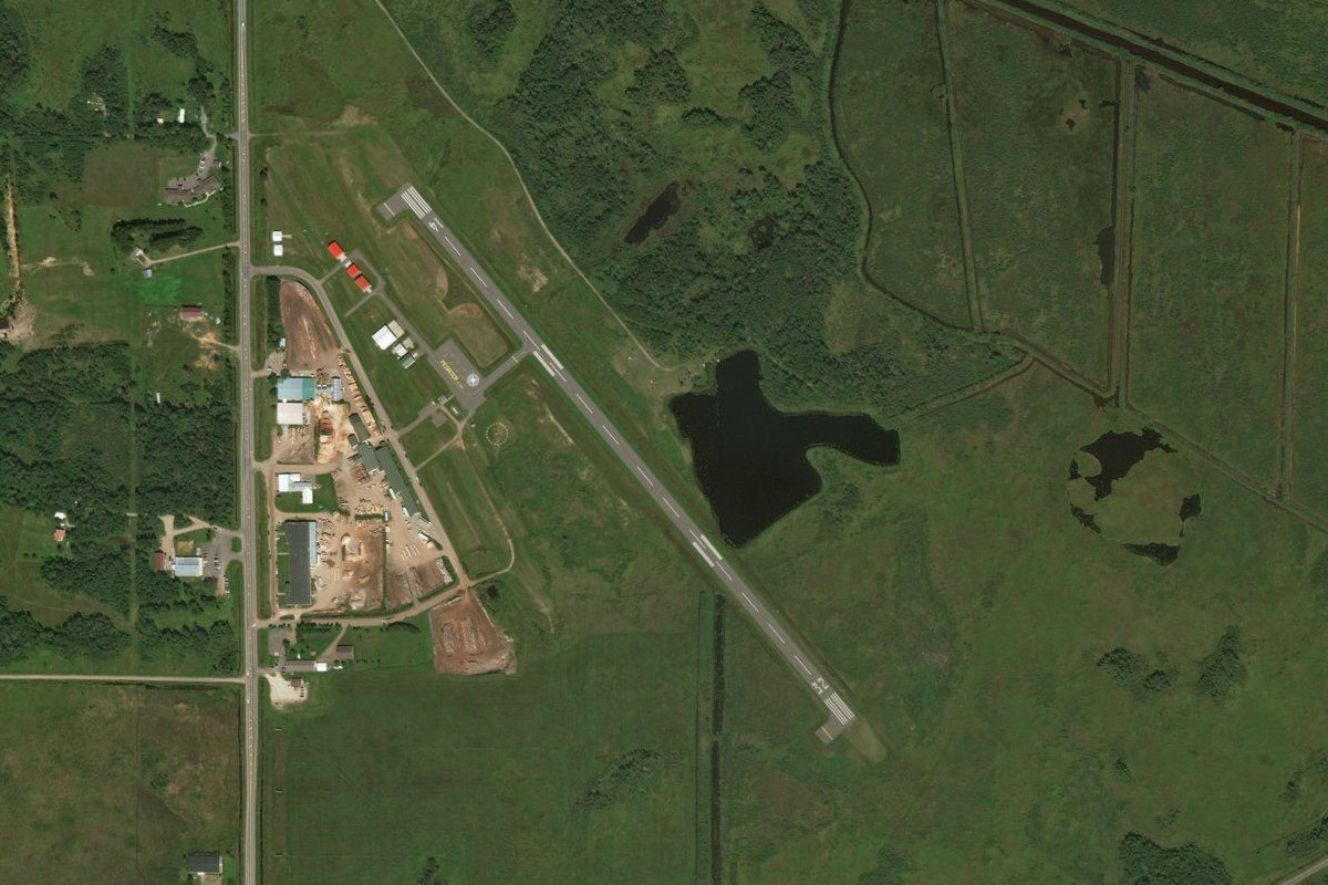
Zimmerman(POI43) to KPNM(KPNM)
Distance: 6.88NM Bearing: 351° 3 minutes
After passing the town of Zimmerman, continue north to the next major town of Princeton. The airport is on the western side of the town
Leg 13
Flying from KPNM
Leg Distance: 41.96 Approximate time at 125kts: 20 minutes.
KPNM(KPNM) to Milaca(POI44)
Distance: 12.39NM Bearing: 353° 6 minutes
After takeoff, keep following the highway north to the next town, Milaca
Milaca(POI44) to Mille Lacs Lake(POI45)
Distance: 21.1NM Bearing: 359° 10 minutes
Continue north with the highway to Mille Lacs Lake
Mille Lacs Lake(POI45) to MY72(MY72)
Distance: 8.47NM Bearing: 72° 4 minutes
Head east along the southern shore of the lake. As the shoreline turns north at the town of Isle, you will find a small airfield next to the road leading north from the town
Leg 14
Flying from MY72
Leg Distance: 31.04 Approximate time at 125kts: 15 minutes.
MY72(MY72) to Malmo(POI46)
Distance: 12.39NM Bearing: 344° 6 minutes
After takeoff, fly north along the eastern shore of the lake
Malmo(POI46) to Rice Lake(POI47)
Distance: 11.82NM Bearing: 38° 6 minutes
When you reach the north end of the lake, head northeast over a group of smaller lakes to Rice Lake
Rice Lake(POI47) to KHZX(KHZX)
Distance: 6.83NM Bearing: 22° 3 minutes
Continue northeast to the town of McGregor, and the airport just north of the town
Leg 15
Flying from KHZX
Leg Distance: 53.8 Approximate time at 125kts: 26 minutes.
KHZX(KHZX) to Cromwell(POI48)
Distance: 17.87NM Bearing: 78° 9 minutes
After takeoff, follow state highway 210 running east from the town
Cromwell(POI48) to Carlton(POI49)
Distance: 16.94NM Bearing: 94° 8 minutes
Keep following the highway east to its junction with Interstate Highway 35 near a large shopping center
Carlton(POI49) to St. Louis River(POI50)
Distance: 10.98NM Bearing: 95° 5 minutes
Continue east over the town of Carlton to meet up with the St. Louis River, which is also winding its way east
St. Louis River(POI50) to KDYT(KDYT)
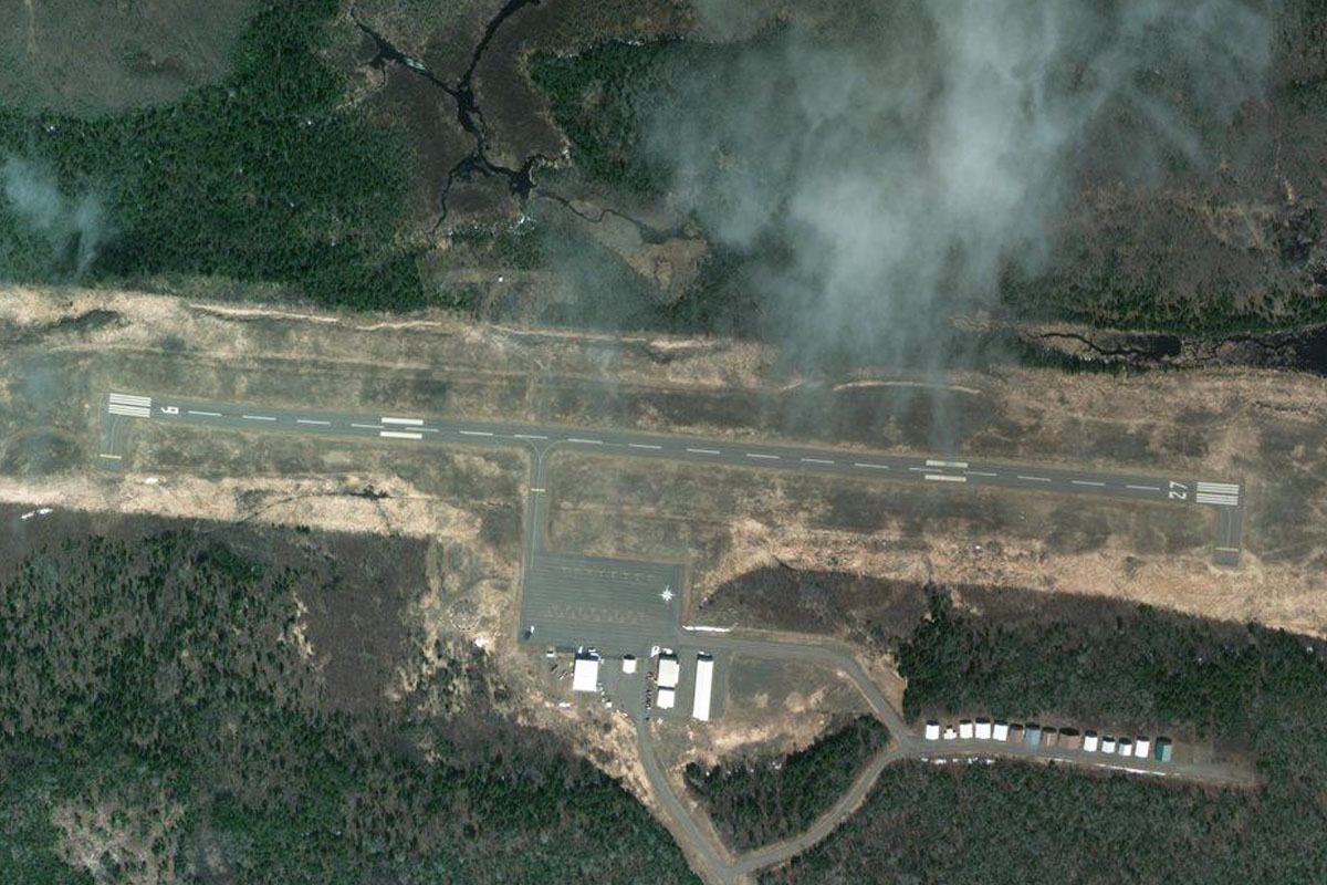
Distance: 8.01NM Bearing: 59° 4 minutes
As the river turns away to the north, head northeast over Bong Airport to the smaller Sky Harbor Airport, which sits on the long narrow spit of Minnesota Point that separates Lake Superior from Duluth Harbor
Leg 16
Flying from KDYT
Leg Distance: 46.94 Approximate time at 125kts: 23 minutes.
KDYT(KDYT) to Duluth(POI51)
Distance: 4.09NM Bearing: 324° 2 minutes
Fly northwest along the spit to the city of Duluth, Minnesota's second largest metropolitan area and the largest port on the Great Lakes
Duluth(POI51) to Two Harbors(POI52)
Distance: 23.2NM Bearing: 53° 11 minutes
Follow the shore of Lake Superior northeast to the town of Two Harbors, which is home to large iron ore docks
Two Harbors(POI52) to Split Rock Lighthouse(POI53)
Distance: 15.98NM Bearing: 49° 8 minutes
Continue along the shore to the picturesque Split Rock Lighthouse, which sits on a cliff overlooking the lake
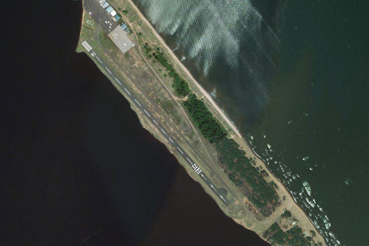
Split Rock Lighthouse(POI53) to KBFW(KBFW)
Distance: 3.67NM Bearing: 334° 2 minutes
When you see the lighthouse, head northwest to the small airport a few miles inland
Leg 17
Flying from KBFW
Leg Distance: 58.72 Approximate time at 125kts: 28 minutes.
KBFW(KBFW) to Silver Bay(POI54)
Distance: 7.66NM Bearing: 70° 4 minutes
After takeoff, fly east back to the lake
Silver Bay(POI54) to Taconite Harbor(POI55)
Distance: 19.05NM Bearing: 46° 9 minutes
Follow the shore northeast to the small harbor and power station at Taconite Harbor
Taconite Harbor(POI55) to Grand Marais(POI56)
Distance: 26.3NM Bearing: 62° 13 minutes
Keep following the shore northeast to the large town of Grand Marais
Grand Marais(POI56) to KCKC(KCKC)
Distance: 5.71NM Bearing: 350° 3 minutes
Grand Marais Airport is a few miles north of the town, on the other side of the long lake – Devil Track Lake
Leg 18
Flying from KCKC
Leg Distance: 59.88 Approximate time at 125kts: 29 minutes.
KCKC(KCKC) to Lake Superior(POI57)
Distance: 19.22NM Bearing: 88° 9 minutes
After takeoff, head east back to Lake Superior, which is the largest of the Great Lakes and the world's largest freshwater lake by surface area
Lake Superior(POI57) to Grand Portage(POI58)
Distance: 11.06NM Bearing: 63° 5 minutes
Continue northeast along the shore to the town of Grand Portage, which sits next to a small circular bay
Grand Portage(POI58) to Highway 61(POI59)
Distance: 13.33NM Bearing: 45° 6 minutes
From Grand Portage, follow the highway northeast, which runs a few miles inland from the lake, and leads into Canada
Highway 61(POI59) to Loch Lomond(POI60)
Distance: 8.94NM Bearing: 36° 4 minutes
When the highway turns away to the north, continue northeast to Loch Lamond, named after the original lake in Scotland
Loch Lomond(POI60) to CYQT(CYQT)
Distance: 7.33NM Bearing: 7° 4 minutes
When you reach the center of the lake, head north to Thunder Bay International Airport, the fourth busiest in the state of Ontario
Leg 19
Flying from CYQT
Leg Distance: 41.24 Approximate time at 125kts: 20 minutes.
CYQT(CYQT) to Fort William(POI61)
Distance: 4.49NM Bearing: 84° 2 minutes
After takeoff, fly east over the Fort William downtown area, which in 1970 merged with Port Arthur to the north to form the city of Thunder Bay
Fort William(POI61) to Le Pate Mesa(POI62)
Distance: 9.39NM Bearing: 171° 5 minutes
Once you reach the bay, head south towards the Le Pâté Mesa on the western end of Pie Island, most of which is now part of the Fort William First Nation
Le Pate Mesa(POI62) to Pie Island(POI63)
Distance: 5.24NM Bearing: 83° 3 minutes
Fly to the eastern end of the island
Pie Island(POI63) to Sibley Peninsula(POI64)
Distance: 5.15NM Bearing: 53° 2 minutes
Head northeast across the bay to the southwestern tip of the Sibley Peninsula
Sibley Peninsula(POI64) to Sleeping Giant Provincial Park(POI65)
Distance: 11.32NM Bearing: 26° 5 minutes
Follow the western edge of the peninsula northeast, passing the long mesa which forms part of the feature known as the Sleeping Giant
Sleeping Giant Provincial Park(POI65) to CED8(CED8)
Distance: 5.65NM Bearing: 7° 3 minutes
When you see Caribou Island in the middle of the bay ahead, fly north over the eastern tip of the island to the small airfield which sits between the north shore of the bay and the highway
Leg 20
Flying from CED8
Leg Distance: 74.05 Approximate time at 125kts: 36 minutes.
CED8(CED8) to Black Bay(POI66)
Distance: 15.76NM Bearing: 91° 8 minutes
After takeoff, head east across the northern end of the Sibley Peninsula, then across Black Bay to the Black Bay Peninsula
Black Bay(POI66) to St Ignace Island(POI67)
Distance: 22.23NM Bearing: 60° 11 minutes
Fly northeast along the peninsula, then across to St Ignace Island, the second largest island on Lake Superior
St Ignace Island(POI67) to Copper Island(POI68)
Distance: 23.85NM Bearing: 100° 11 minutes
Head to the eastern end of the island, then follow the smaller chain of islands east
Copper Island(POI68) to Terrace Bay(POI69)
Distance: 9.91NM Bearing: 89° 5 minutes
From the easternmost island, continue east to the mainland and the town of Terrace Bay
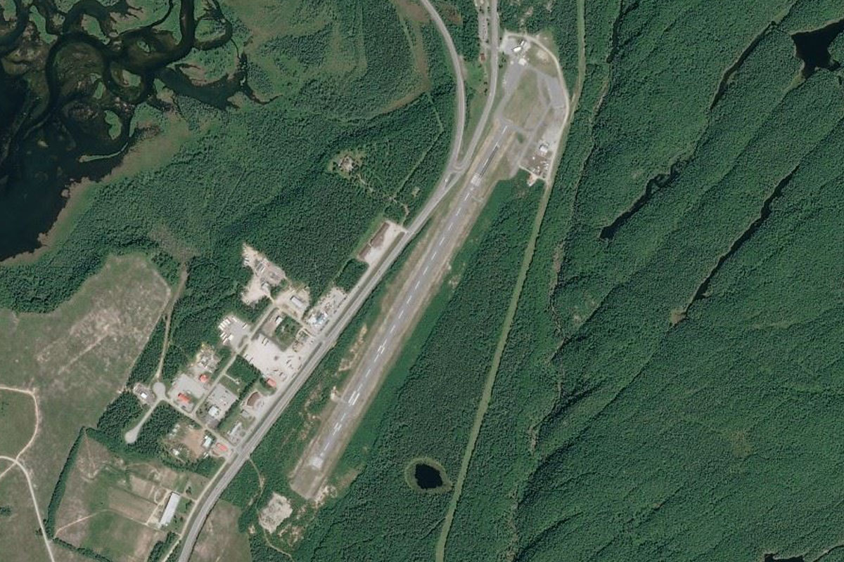
Terrace Bay(POI69) to CYTJ(CYTJ)
Distance: 2.3NM Bearing: 13° 1 minutes
Head to Terrace Bay airport, a couple of miles north from the town
Leg 21
Flying from CYTJ
Leg Distance: 30.66 Approximate time at 125kts: 15 minutes.
CYTJ(CYTJ) to Trans Canada Highway(POI70)
Distance: 8.62NM Bearing: 110° 4 minutes
After takeoff, head east across the hills and bays until you reach the Trans Canada Highway also heading east
Trans Canada Highway(POI70) to Trans Canada Highway(POI71)
Distance: 17.83NM Bearing: 93° 9 minutes
Follow the highway as it loosely follows the coastline east
Trans Canada Highway(POI71) to CYSP(CYSP)
Distance: 4.21NM Bearing: 126° 2 minutes
The highway will turn to the southeast and lead you directly to Marathon airport
Leg 22
Flying from CYSP
Leg Distance: 94.99 Approximate time at 125kts: 46 minutes.
CYSP(CYSP) to Pic River(POI72)
Distance: 9.7NM Bearing: 176° 5 minutes
Fly south to the mouth of the Pic River
Pic River(POI72) to Pukaskwa National Park(POI73)
Distance: 32.47NM Bearing: 166° 16 minutes
Follow the shoreline of the Pukaskwa National Park, south
Pukaskwa National Park(POI73) to Pukaskwa River(POI74)
Distance: 16.45NM Bearing: 131° 8 minutes
After passing Otter Island, follow the coast as it curves around to the southeast
Pukaskwa River(POI74) to CYXZ(CYXZ)
Distance: 36.37NM Bearing: 93° 17 minutes
The shore will turn to the east and lead you to the town of Wawa. The airport is south of the town, next to the highway
Leg 23
Flying from CYXZ
Leg Distance: 91.79 Approximate time at 125kts: 44 minutes.
CYXZ(CYXZ) to Montreal Island(POI75)
Distance: 39.45NM Bearing: 184° 19 minutes
After takeoff, head south over the forests of Lake Superior Provincial Park, then over the eastern end of the lake to Montreal Island
Montreal Island(POI75) to Pancake Bay(POI76)
Distance: 20.89NM Bearing: 183° 10 minutes
Continue south over the bay, then over land to Pancake Bay Provincial Park
Pancake Bay(POI76) to Rudderhead Point(POI77)
Distance: 10.03NM Bearing: 152° 5 minutes
Fly southeast along the peninsula, then across the mouth of Batchawana Bay to Rudderhead Point
Rudderhead Point(POI77) to Goulais Point(POI78)
Distance: 8.57NM Bearing: 188° 4 minutes
Fly south to Goulais Point on the southern tip of the peninsula
Goulais Point(POI78) to Prince Township Wind Farm(POI79)
Distance: 7.46NM Bearing: 195° 4 minutes
Continue south across the mouth of Goulais Bay to Prince Township Wind Farm
Prince Township Wind Farm(POI79) to CYAM(CYAM)
Distance: 5.39NM Bearing: 155° 3 minutes
Follow the shore southeast to Sault Ste. Marie Airport, the destination for this stage