This stage continues the tour in the Great Lakes region of North America. From Soult Ste. Marie you will head back into the USA for a circumnavigation of Lake Michigan. Crossing northern Wisconsin and heading south along the beautiful Door Peninsula will take you to the city of Green Bay before you continue south to the famous Oshkosh Airport, the city of Milwaukee, then into Illinois and the third largest city in the country, Chicago. The second part of the stage will continue around the eastern side of Lake Michigan in the state of Michigan, heading north to cross the Straits of Mackinac along with the iconic bridge and back into Canada via Manitoulin Island, the largest of Lake Huron’s 30,000 islands. The final strech of the journey will head southeast across Ontario to it’s capital, Toronto, which is Canada’s largest city
Total Legs: 25 Total Distance: 1141 Total Time(125kts): 9 hours 7 minutes
Leg 1
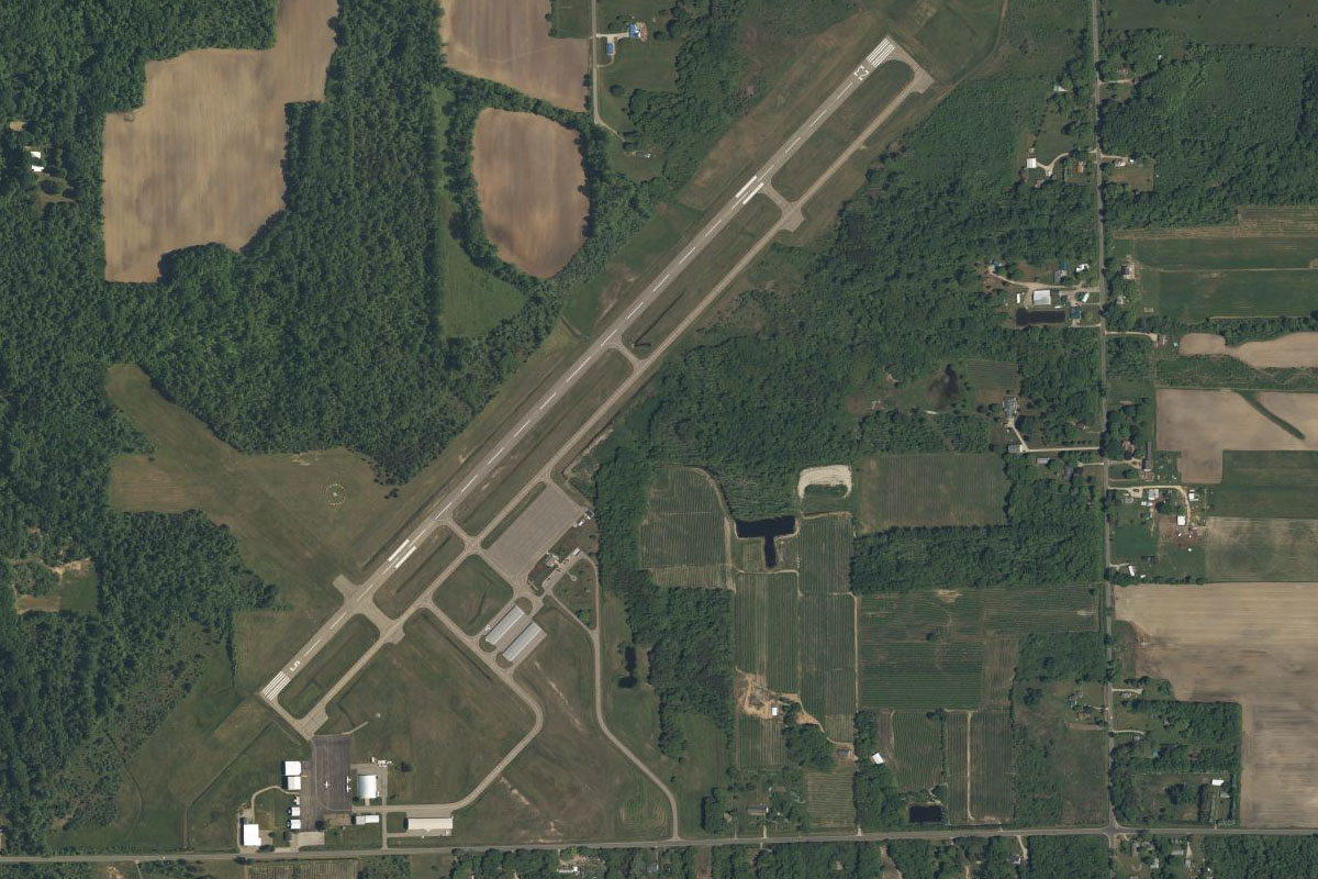
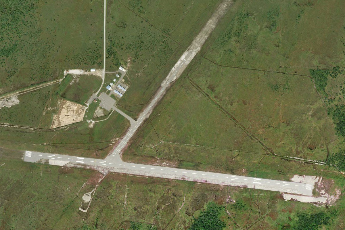
Flying from CYAM
Leg Distance: 61.24 Approximate time at 125kts: 29 minutes.
CYAM(CYAM) to Point Iroquois(POI1)
Distance: 5.31NM Bearing: 278° 3 minutes
After takeoff, fly west across the bay to Point Iroquois, which lies in the US state of Michigan
Point Iroquois(POI1) to Tahquamenon Bay(POI2)
Distance: 16.31NM Bearing: 278° 8 minutes
Follow the shore west until it turns north at Tahquamenon Bay
Tahquamenon Bay(POI2) to Betsy Lake(POI3)
Distance: 12.87NM Bearing: 317° 6 minutes
Head northwest across land to a group of three lakes which lie near Tahquamenon Falls State Park
Betsy Lake(POI3) to Y98(Y98)
Distance: 26.75NM Bearing: 276° 13 minutes
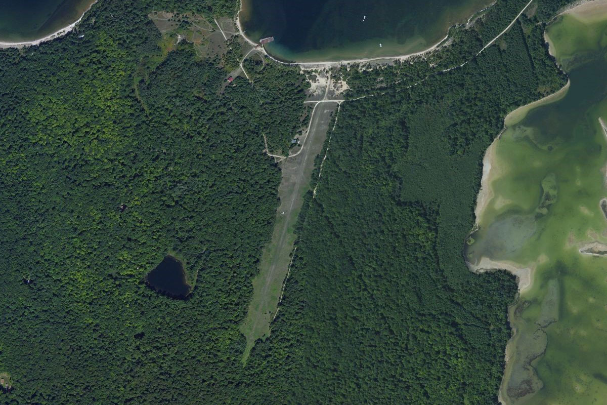
Fly west, running parallel a few miles south of the shore until you reach the unsealed runways of Grand Marais Airport
Leg 2
Flying from Y98
Leg Distance: 39.48 Approximate time at 125kts: 19 minutes.
Y98(Y98) to Grand Sable Dunes(POI4)
Distance: 5.8NM Bearing: 305° 3 minutes
Fly northwest to Grand Sable Dunes on the lake shore
Grand Sable Dunes(POI4) to Log Slide(POI5)
Distance: 2.84NM Bearing: 262° 1 minutes
Follow the shore west to the steeper sand hills of Log Slide Scenic Overlook, part of the Pictured Rocks National Lakeshore
Log Slide(POI5) to Twelvemile Beach(POI6)
Distance: 4.68NM Bearing: 264° 2 minutes
Cut west across the small peninsula, then follow the shore southwest
Twelvemile Beach(POI6) to Miners Beach(POI7)
Distance: 16.07NM Bearing: 245° 8 minutes
Continue southwest along the shore, passing the peninsula of Grand Portal Point
Miners Beach(POI7) to Munising(POI8)
Distance: 6.37NM Bearing: 222° 3 minutes
The shore will lead you past Grand Island, the site of the Bermuda Shipwreck, then to the town of Munising at the south end of the bay
Munising(POI8) to 5Y7(5Y7)
Distance: 3.72NM Bearing: 171° 2 minutes
Hanley field lies a few miles south of the town
Leg 3
Flying from 5Y7
Leg Distance: 42.87 Approximate time at 125kts: 21 minutes.
5Y7(5Y7) to Round Lake(POI9)
Distance: 13.22NM Bearing: 209° 6 minutes
After takeoff, head southwest to the aptly named Round Lake
Round Lake(POI9) to Little Bay de Noc(POI10)
Distance: 17.11NM Bearing: 219° 8 minutes
Continue southwest to the northern end of Little Bay de Noc
Little Bay de Noc(POI10) to Gladstone(POI11)
Distance: 4.77NM Bearing: 212° 2 minutes
Follow the western shore of the bay south to the nearby town of Gladstone, which lies on a triangle shaped peninsula
Gladstone(POI11) to KESC(KESC)
Distance: 7.77NM Bearing: 207° 4 minutes
Continue south to the town of Escanaba, and the airport on the southwestern edge of the town
Leg 4
Flying from KESC
Leg Distance: 45.86 Approximate time at 125kts: 22 minutes.
KESC(KESC) to Washington Island(POI12)
Distance: 19.85NM Bearing: 165° 10 minutes
After takeoff, head southeast to Washington Island, which lies in the state of Wisconsin
Washington Island(POI12) to Door Peninsula(POI13)
Distance: 7.83NM Bearing: 207° 4 minutes
Head south to the northern tip of the Door Peninsula
Door Peninsula(POI13) to Sister Bay(POI14)
Distance: 8NM Bearing: 223° 4 minutes
Fly southwest along the peninsula, past the town of Ellison Bay, to the larger town of Sister Bay on the western shore
Sister Bay(POI14) to 30WI(30WI)
Distance: 10.18NM Bearing: 277° 5 minutes
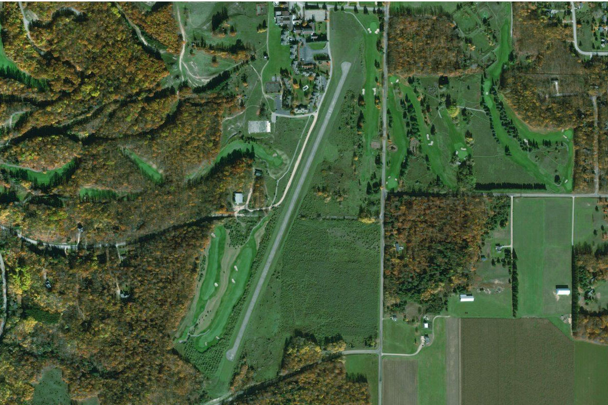
From Sister Bay, fly west to Chambers Island in the middle of Green Bay. There is a small grass airstrip next to the lagoon
Leg 5
Flying from 30WI
Leg Distance: 41.66 Approximate time at 125kts: 20 minutes.
30WI(30WI) to Sturgeon Bay(POI15)
Distance: 21.67NM Bearing: 186° 10 minutes
Fly south back to the peninsula and continue south to its largest city, Sturgeon Bay. The shipping canal east of the city was completed in 1881 and effectively made the northern half of the peninsula into an island
Sturgeon Bay(POI15) to WI-57(POI16)
Distance: 13.57NM Bearing: 244° 7 minutes
Follow the highway leading southwest from the city
WI-57(POI16) to 8WI6(8WI6)
Distance: 6.42NM Bearing: 188° 3 minutes
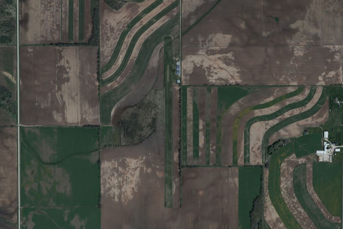
When the highway turns west to the coast, turn south and fly over the picturesque farmland to the small grass airstrip a couple of miles south of the wind farm
Leg 6
Flying from 8WI6
Leg Distance: 59.39 Approximate time at 125kts: 29 minutes.
8WI6(8WI6) to Green Bay Harbor(POI17)
Distance: 10.14NM Bearing: 270° 5 minutes
After takeoff, head west to Green Bay Harbor
Green Bay Harbor(POI17) to Green Bay(POI18)
Distance: 7.29NM Bearing: 233° 3 minutes
Head to the south end of the bay, and the city that takes its name, Green Bay
Green Bay(POI18) to Fox River(POI19)
Distance: 12.67NM Bearing: 213° 6 minutes
Follow the Fox River southwest. Just west of the river lies Lambeau Field, the oldest continuously operating NFL stadium and home of the city's famous Green Bay Packers
Fox River(POI19) to Appleton(POI20)
Distance: 11.39NM Bearing: 251° 5 minutes
Continue along the river as it turns west towards the city of Appleton
Appleton(POI20) to Neenah(POI21)
Distance: 4.82NM Bearing: 221° 2 minutes
The river will turn south and widen into Little Lake Butte before it empties into Lake Winnebago at the city of Neenah
Neenah(POI21) to Oshkosh(POI22)
Distance: 10.48NM Bearing: 204° 5 minutes
From Neenah, the rail corridor and highway will lead you south to the next city, Oshkosh
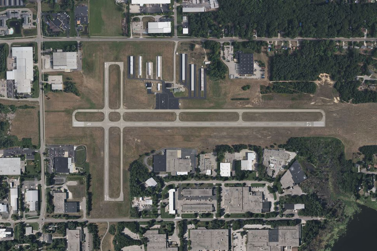
Oshkosh(POI22) to KOSH(KOSH)
Distance: 2.6NM Bearing: 188° 1 minutes
Wittman Airport is just south of the city, and is home to the largest air show of its kind in the world, the EAA AirVenture Oshkosh
Leg 7
Flying from KOSH
Leg Distance: 34.4 Approximate time at 125kts: 17 minutes.
KOSH(KOSH) to Lake Winnebago(POI23)
Distance: 4.69NM Bearing: 136° 2 minutes
After takeoff, fly southeast to Lake Winnebago
Lake Winnebago(POI23) to Bergen Beach(POI24)
Distance: 6.23NM Bearing: 137° 3 minutes
Continue southeast over the lake
Bergen Beach(POI24) to Sheboygan Lake(POI25)
Distance: 13.06NM Bearing: 99° 6 minutes
Fly east to where the farmland gives way to the marshland of the Sheboygan Marsh State Wildlife Area
Sheboygan Lake(POI25) to KSBM(KSBM)
Distance: 10.42NM Bearing: 119° 5 minutes
When you reach the small lake east of the wildlife area, head southeast past the Elkhart Lake Motor Racing Circuit, also known as Road America, on the way to Sheboygan Airport, which is 6 miles west of the city
Leg 8
Flying from KSBM
Leg Distance: 55.77 Approximate time at 125kts: 27 minutes.
KSBM(KSBM) to Sheboygan(POI26)
Distance: 6.53NM Bearing: 106° 3 minutes
Fly east to the city of Sheboygan on the western shore of Lake Michigan
Sheboygan(POI26) to Port Washington(POI27)
Distance: 22.64NM Bearing: 202° 11 minutes
Follow the shore south to the next major town, Port Washington
Port Washington(POI27) to Milwaukee(POI28)
Distance: 21.34NM Bearing: 188° 10 minutes
Continue south to Milwaukee, the largest city in the state of Wisconsin, and home to the Harley-Davidson motorcycle company as well as many galleries and breweries. The baseball stadium which is home to the Milwaukee Brewers, is 3 miles west of the city
Milwaukee(POI28) to KMKE(KMKE)
Distance: 5.26NM Bearing: 184° 3 minutes
From the city, continue south to General Mitchell International Airport
Leg 9
Flying from KMKE
Leg Distance: 59.39 Approximate time at 125kts: 29 minutes.
KMKE(KMKE) to I-94(POI29)
Distance: 2.64NM Bearing: 224° 1 minutes
After takeoff, head southwest to meet Interstate Highway 94, which runs south past the western side of the airport
I-94(POI29) to Kenosha(POI30)
Distance: 18.96NM Bearing: 186° 9 minutes
Follow I-94 south, passing the cities of Racine and Kenosha which both lie on the shore of Lake Michigan
Kenosha(POI30) to I-94(POI31)
Distance: 7.25NM Bearing: 182° 3 minutes
The highway will continue south past Kenosha Airport before reaching a junction with US Highway 41
I-94(POI31) to Gurnee(POI32)
Distance: 5.84NM Bearing: 183° 3 minutes
Take the right fork to the southwest, then continue south along the interstate
Gurnee(POI32) to I-94(POI33)
Distance: 12.79NM Bearing: 170° 6 minutes
The highway will turn to the southeast as it passes the Gurnee Mills shopping mall and Six Flags Great America theme park, then continue south to the outskirts of Chicago
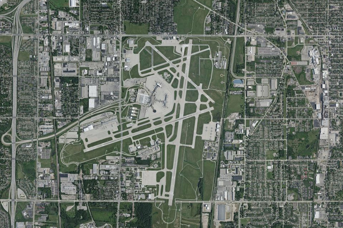
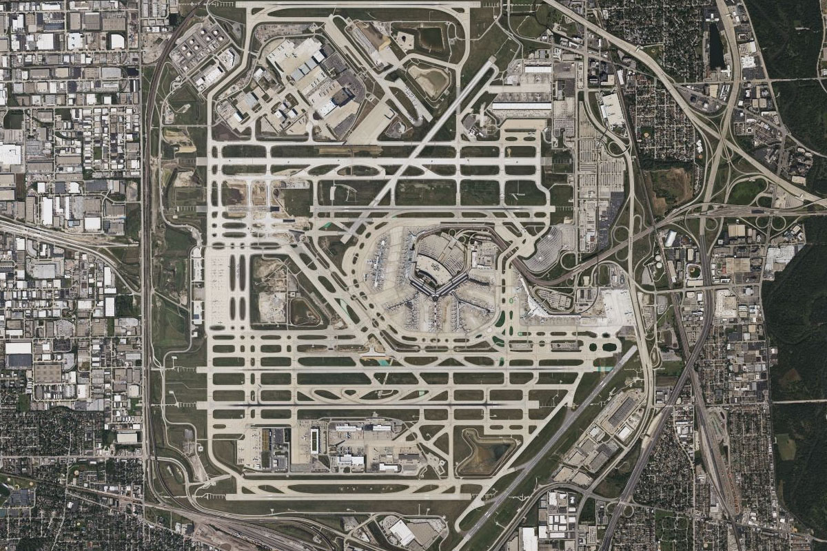
I-94(POI33) to KORD(KORD)
Distance: 11.91NM Bearing: 191° 6 minutes
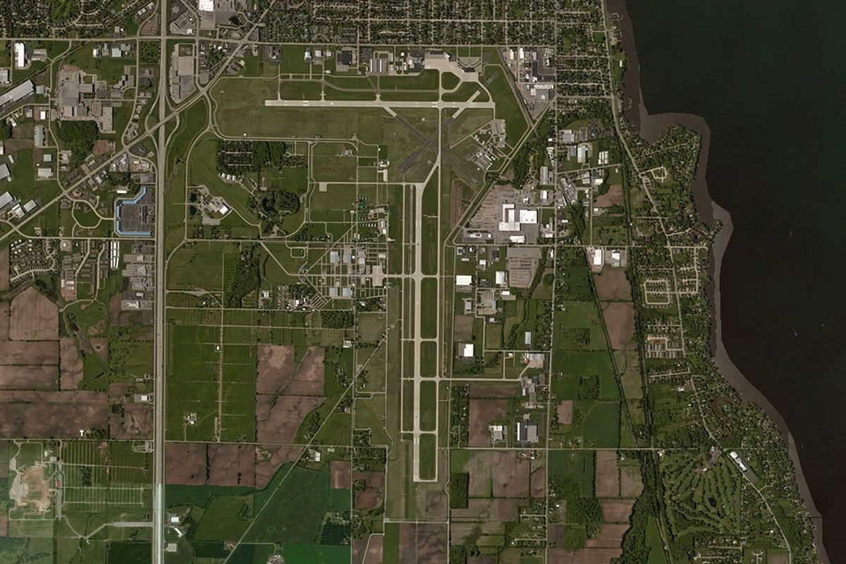
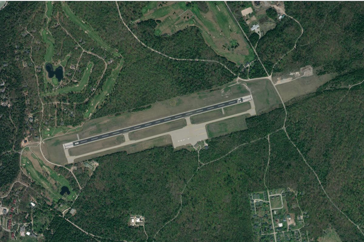
The highway will lead you south to Chicago's O'Hare International Airport. Once the world's busiest airport, it is now the sixth busiest, but contains the most runways of any civilian airport in the world, eight
Leg 10
Flying from KORD
Leg Distance: 38.2 Approximate time at 125kts: 18 minutes.
KORD(KORD) to Union Pacific Global II(POI34)
Distance: 4.78NM Bearing: 179° 2 minutes
After takeoff, fly south to the large rail yard a few miles from the airport
Union Pacific Global II(POI34) to Grand Army of the Republic Woods(POI35)
Distance: 3.14NM Bearing: 105° 2 minutes
Follow the railway east to the nearby wooded area
Grand Army of the Republic Woods(POI35) to Chicago(POI36)
Distance: 8.4NM Bearing: 93° 4 minutes
Keep following the railway east towards Chicago. On the way you will pass Oak Park, once the home of architect Frank Lloyd Wright and featuring several of his projects. This suburb is also the birthplace of author Ernest Hemmingway
Chicago(POI36) to Wrigley Field(POI37)
Distance: 3.63NM Bearing: 354° 2 minutes
When you reach the Chicago River on the western edge of downtown, turn north and fly towards the large wooded Graceland Cemetery. Just south of the cemetery is Wrigley Field, one of the most historic baseball stadiums in the USA, and home of the Chicago Cubs
Wrigley Field(POI37) to Montrose Point(POI38)
Distance: 1.38NM Bearing: 51° 1 minutes
Fly northeast to the large marina near Montrose Point
Montrose Point(POI38) to Navy Pier(POI39)
Distance: 4.55NM Bearing: 169° 2 minutes
Fly south along the shoreline to Navy Pier, which is east of downtown Chicago and is the second most visited tourist attraction in the city, featuring parks, gardens, shops and family entertainment. From here you will also have a great view of downtown Chicago and its most famous skyscrapers, the John Hancock Building and the Willis Tower, formerly the Sears Tower
Navy Pier(POI39) to Northerly Island(POI40)
Distance: 1.9NM Bearing: 185° 1 minutes
Continue south to Northerly Island, a popular lakefront park more well known to flight simmers as the former site of Meigs Field – the default starting point for early versions of Flight Simulator
Northerly Island(POI40) to Washington Park(POI41)
Distance: 3.99NM Bearing: 185° 2 minutes
Continue south over the large 31st Street Harbor marina to Washington Park. You will pass by the Chicago White Sox home stadium to your right
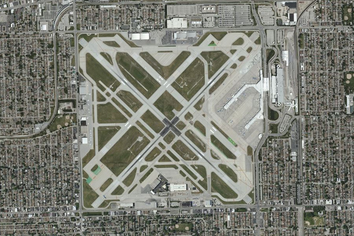
Washington Park(POI41) to KMDW(KMDW)
Distance: 6.43NM Bearing: 270° 3 minutes
From Washington Park, fly west to Chicago's second airport, Midway International Airport
Leg 11
Flying from KMDW
Leg Distance: 45.97 Approximate time at 125kts: 22 minutes.
KMDW(KMDW) to Calumet River(POI42)
Distance: 10.19NM Bearing: 137° 5 minutes
After takeoff, fly southeast to the artificial harbor of the Calumet River
Calumet River(POI42) to Indiana Harbor(POI43)
Distance: 7.1NM Bearing: 105° 3 minutes
Head east into the state of Indiana, to the heavily industrialized Indiana Harbor on the shore of Lake Michigan
Indiana Harbor(POI43) to Indiana Dunes(POI44)
Distance: 10.81NM Bearing: 101° 5 minutes
Follow the shore of the lake east past the industrial city of Gary, then to an area of beaches and sand dunes
Indiana Dunes(POI44) to Michigan City(POI45)
Distance: 13.73NM Bearing: 71° 7 minutes
Follow the shore northeast past the steel mills of Burns Harbor, then Indiana Dunes National Park, before reaching Michigan City
Michigan City(POI45) to KMGC(KMGC)
Distance: 4.14NM Bearing: 107° 2 minutes
The municipal airport lies a couple of miles east of the city
Leg 12
Flying from KMGC
Leg Distance: 46.39 Approximate time at 125kts: 22 minutes.
KMGC(KMGC) to New Buffalo(POI46)
Distance: 8.22NM Bearing: 41° 4 minutes
After takeoff, head northeast towards the lake shore and into the state of Michigan
New Buffalo(POI46) to St Joseph(POI47)
Distance: 20.75NM Bearing: 35° 10 minutes
Follow the shoreline and Interstate Highway 94 as they lead northeast to the town of St Joseph, which lies on the St Joseph River
St Joseph(POI47) to Lake Michigan Beach(POI48)
Distance: 8.67NM Bearing: 39° 4 minutes
Continue northeast along the shore to meet I-94 also heading northeast
Lake Michigan Beach(POI48) to KLWA(KLWA)
Distance: 8.75NM Bearing: 39° 4 minutes
Continue northeast along the coast towards the town of South Haven. The regional airport sits a mile east of the highway as you near the town
Leg 13
Flying from KLWA
Leg Distance: 41.12 Approximate time at 125kts: 20 minutes.
KLWA(KLWA) to Douglas(POI49)
Distance: 18.08NM Bearing: 12° 9 minutes
After takeoff, continue north along the lake shore to the town of Douglas on Kalamazoo Lake, a swollen stretch of the Kalamazoo River
Douglas(POI49) to Lake Macatawa(POI50)
Distance: 7.31NM Bearing: 6° 4 minutes
Keep following the shore north past another area of coastal dunes to the inlet of Lake Macatawa, which lies to the west of the city of Holland
Lake Macatawa(POI50) to 3GM(3GM)
Distance: 15.73NM Bearing: 7° 8 minutes
Continue north to the lakeside city of Grand Haven. The airport is on the city's southeastern outskirts
Leg 14
Flying from 3GM
Leg Distance: 40 Approximate time at 125kts: 19 minutes.
3GM(3GM) to Muskegon(POI51)
Distance: 14.38NM Bearing: 5° 7 minutes
Fly north over the river where you will find US Highway 31 heading north towards the city of Muskegon
Muskegon(POI51) to US-31(POI52)
Distance: 16.13NM Bearing: 337° 8 minutes
After it crosses the Muskegon river east of the city, the highway will turn and lead you northwest before crossing the White River
US-31(POI52) to Shelby(POI53)
Distance: 6.05NM Bearing: 1° 3 minutes
The road will turn back to the north and pass the towns of New Era and Shelby
Shelby(POI53) to MI71(MI71)
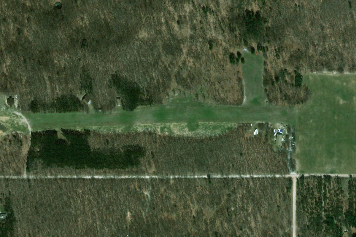
Distance: 3.44NM Bearing: 311° 2 minutes
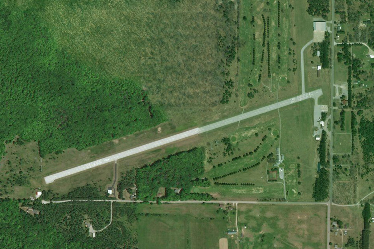
Turn to the northwest when you reach the Shelby highway exit a mile west of the town, and head to Silver Lake grass airstrip which lies halfway between the highway exit and Silver Lake
Leg 15
Flying from MI71
Leg Distance: 44.11 Approximate time at 125kts: 21 minutes.
MI71(MI71) to Silver Lake(POI54)
Distance: 3.68NM Bearing: 315° 2 minutes
After takeoff, head northwest over Silver Lake to the coastal dunes
Silver Lake(POI54) to Pentwater(POI55)
Distance: 6.89NM Bearing: 36° 3 minutes
Follow the shore northeast to the town of Pentwater
Pentwater(POI55) to Hamlin Lake(POI56)
Distance: 15.97NM Bearing: 360° 8 minutes
Follow the shore north to Hamlin Lake, where it will turn to the northeast
Hamlin Lake(POI56) to Manistee(POI57)
Distance: 13.38NM Bearing: 31° 6 minutes
Continue northeast along the shore to the next major town of Manistee
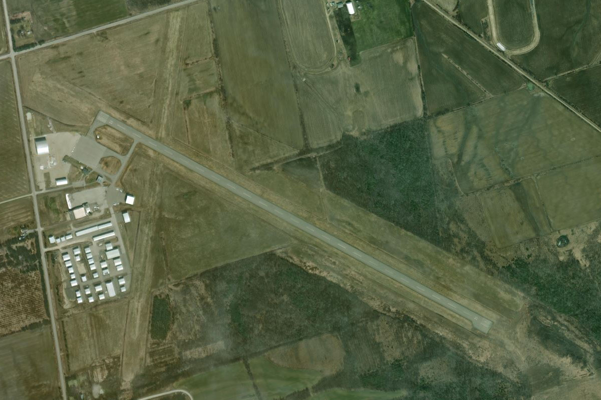
Manistee(POI57) to KMBL(KMBL)
Distance: 4.19NM Bearing: 75° 2 minutes
Manistee airport is east of the town, just north of the river
Leg 16
Flying from KMBL
Leg Distance: 46.14 Approximate time at 125kts: 22 minutes.
KMBL(KMBL) to Crystal Lake(POI58)
Distance: 24.09NM Bearing: 11° 12 minutes
After takeoff, head north to a group of coastal lakes, the largest being Crystal Lake
Crystal Lake(POI58) to Big Glen Lake(POI59)
Distance: 15.26NM Bearing: 45° 7 minutes
Fly northeast to the circle shaped Big Glen Lake
Big Glen Lake(POI59) to Y04(Y04)
Distance: 6.79NM Bearing: 76° 3 minutes
Heading east from Big Glen Lake, you'll cross Lime Lake before reaching the airstrip at Sugar Loaf golf resort near it's eastern shore
Leg 17
Flying from Y04
Leg Distance: 52.35 Approximate time at 125kts: 25 minutes.
Y04(Y04) to Leelanau Peninsula(POI60)
Distance: 21.46NM Bearing: 38° 10 minutes
After takeoff, fly northeast to the northern end of the Leelanau Peninsula
Leelanau Peninsula(POI60) to Beaver Island(POI61)
Distance: 21.78NM Bearing: 5° 10 minutes
Fly north across the waters of Northern Lake Michigan to Beaver Island, the largest island in Lake Michigan
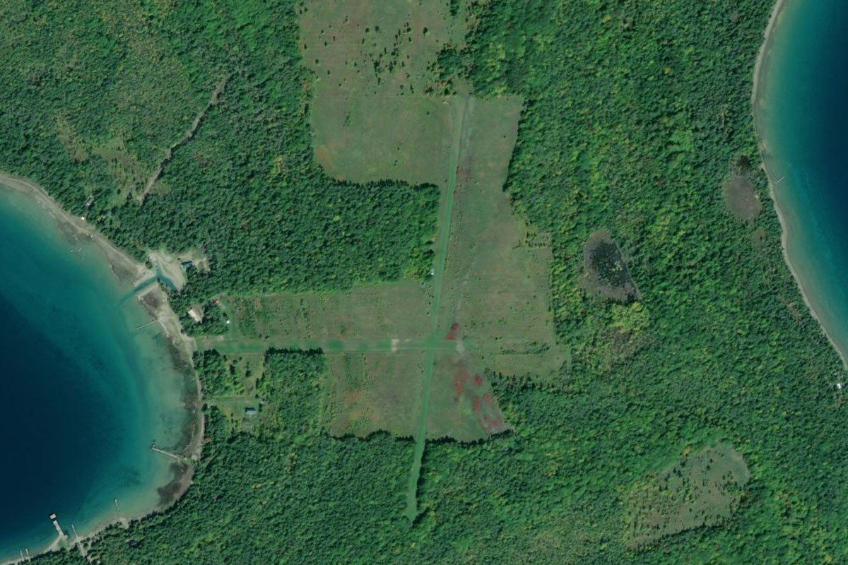
Beaver Island(POI61) to 6Y8(6Y8)
Distance: 9.11NM Bearing: 17° 4 minutes
Continue north to Welke Airport, just south of Beaver Island Harbor and the town of St James
Leg 18
Flying from 6Y8
Leg Distance: 45.98 Approximate time at 125kts: 22 minutes.
6Y8(6Y8) to Skillagallee Island(POI62)
Distance: 14.81NM Bearing: 107° 7 minutes
After takeoff, fly east over the lake to the tiny Skillagallee Island, home to a lighthouse warning ships of a dangerous underwater shoal
Skillagallee Island(POI62) to Sturgeon Bay(POI63)
Distance: 7.55NM Bearing: 95° 4 minutes
From the island, head east to the mainland
Sturgeon Bay(POI63) to Lake Paradise(POI64)
Distance: 10.16NM Bearing: 95° 5 minutes
Continue east to Lake Paradise
Lake Paradise(POI64) to Mackinaw City(POI65)
Distance: 5.83NM Bearing: 16° 3 minutes
From the lake, head north along with the highway to Mackinaw City
Mackinaw City(POI65) to Mackinaw Bridge(POI66)
Distance: 4.09NM Bearing: 13° 2 minutes
Follow the iconic Mackinac Bridge north over the Straits of Mackinac
Mackinaw Bridge(POI66) to KMCD(KMCD)
Distance: 3.54NM Bearing: 82° 2 minutes
When you reach the northern end of the bridge, head east to Mackinac Island airport on the island of the same name. The entire island is listed as a National Historic Landmark and a 1898 ban on motor vehicles remains in place to this day
Leg 19
Flying from KMCD
Leg Distance: 40.78 Approximate time at 125kts: 20 minutes.
KMCD(KMCD) to St Martin Point(POI67)
Distance: 8.05NM Bearing: 46° 4 minutes
After takeoff, fly northeast to St Martin Point, which forms part of the north shore of Lake Huron
St Martin Point(POI67) to DeTour Passage(POI68)
Distance: 25.48NM Bearing: 97° 12 minutes
Continue east over Marquette Island and the bays and islands that make up the north shore of Lake Huron
DeTour Passage(POI68) to KDRM(KDRM)
Distance: 7.25NM Bearing: 76° 3 minutes
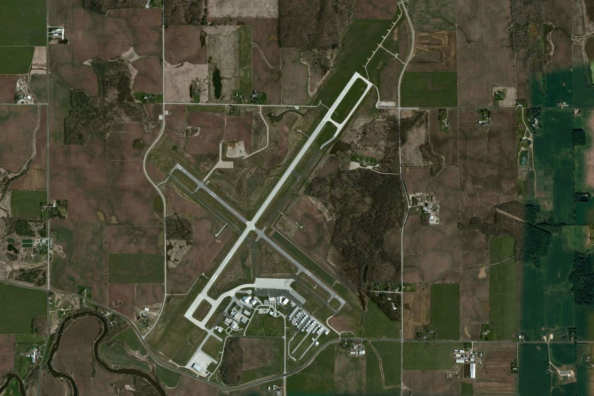
When you reach DeTour Passage, which leads north to the St Marys River, head northeast over Drummond Island, and the airport just south of the small town of Drummond
Leg 20
Flying from KDRM
Leg Distance: 49.85 Approximate time at 125kts: 24 minutes.
KDRM(KDRM) to Marble Head(POI69)
Distance: 11.27NM Bearing: 106° 5 minutes
Fly to the eastern end of Drummond Island
Marble Head(POI69) to Manitoulin Island(POI70)
Distance: 13.28NM Bearing: 103° 6 minutes
Continue east into the Canadian province of Ontario. Fly over Cockburn Island to Manitoulin Island, the largest freshwater island in the world
Manitoulin Island(POI70) to Barrie Island(POI71)
Distance: 20.09NM Bearing: 105° 10 minutes
Continue east along the north shore of Manitoulin Island, then across to Barrie Island
Barrie Island(POI71) to CYZE(CYZE)
Distance: 5.21NM Bearing: 122° 3 minutes
Just south of the land bridge that connects the eastern end of Barrie Island with Manitoulin Island, is Gore Bay-Manitoulin Airport
Leg 21
Flying from CYZE
Leg Distance: 57.41 Approximate time at 125kts: 28 minutes.
CYZE(CYZE) to Manitoulin Island(POI72)
Distance: 37.31NM Bearing: 134° 18 minutes
After takeoff, head southeast along the length of Manitoulin Island, which itself has over 100 lakes
Manitoulin Island(POI72) to Tobermory(POI73)
Distance: 17.35NM Bearing: 162° 8 minutes
Continue southeast over a group of smaller islands to the town of Tobermory near the northern tip of the Bruce Peninsula
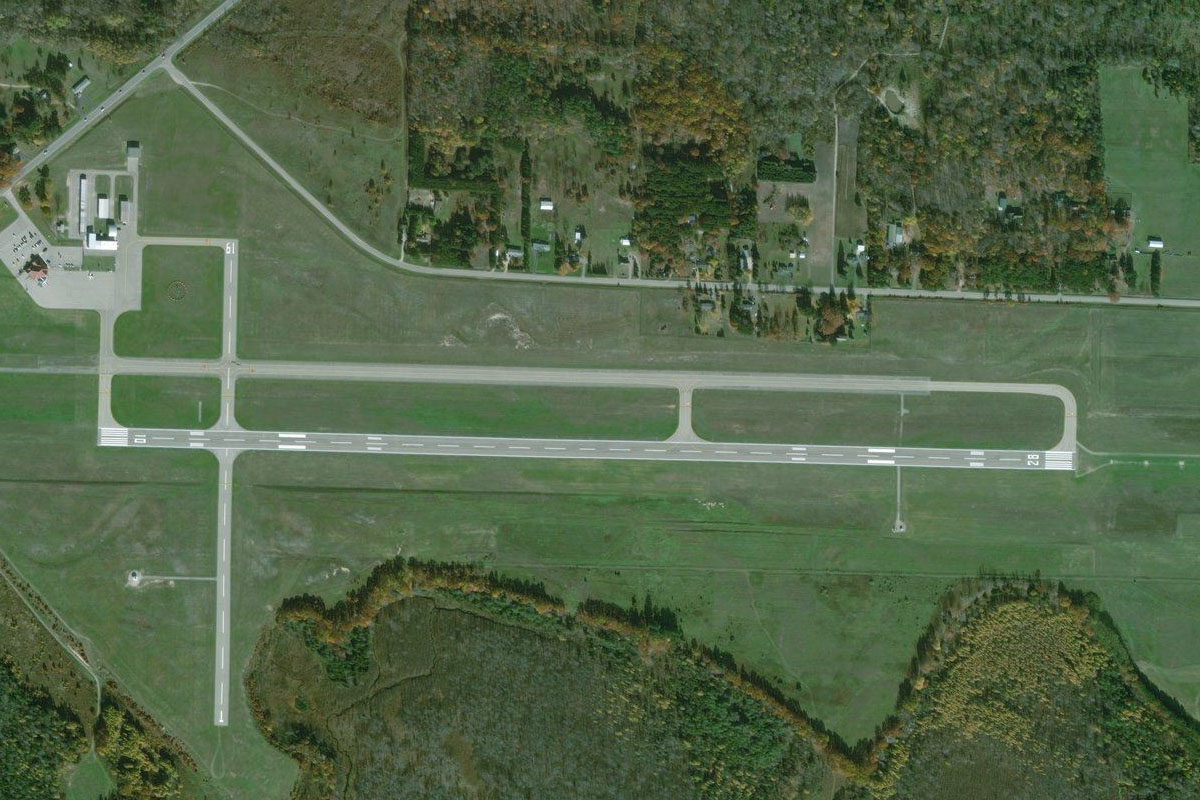
Tobermory(POI73) to CNR4(CNR4)
Distance: 2.75NM Bearing: 154° 1 minutes
Tobermory Airport lies a few miles southeast from the town
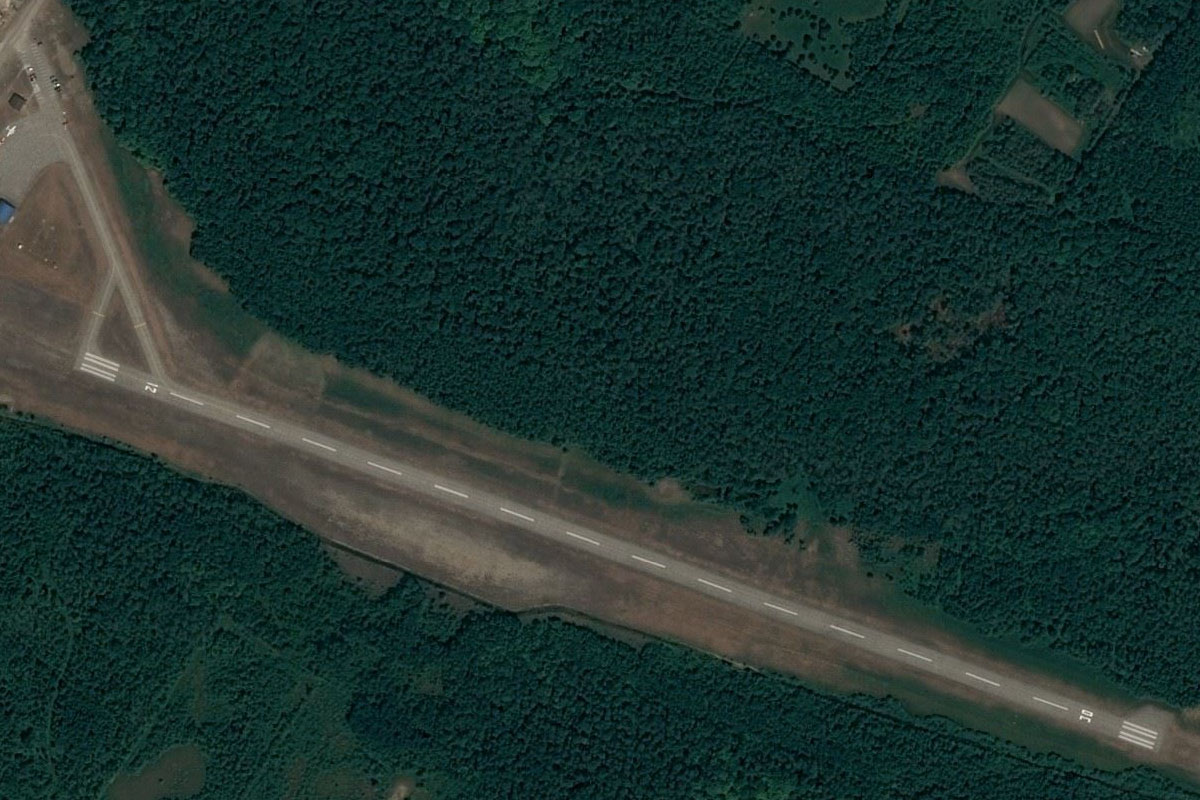
Leg 22
Flying from CNR4
Leg Distance: 36.69 Approximate time at 125kts: 18 minutes.
CNR4(CNR4) to Highway 6(POI74)
Distance: 9.81NM Bearing: 133° 5 minutes
After takeoff, follow the straight line of Highway 6 southeast
Highway 6(POI74) to Georgian Bay(POI75)
Distance: 9NM Bearing: 136° 4 minutes
When the highway turns away to the south, continue southeast to the shore of Georgian Bay
Georgian Bay(POI75) to Cape Croker(POI76)
Distance: 12.65NM Bearing: 135° 6 minutes
Continue southeast along the coast to the peninsula of Cape Croker
Cape Croker(POI76) to CYOL(CYOL)
Distance: 5.23NM Bearing: 166° 3 minutes
Heading southeast from the peninsula, you will shortly reach Hay Island before turning south to White Cloud Island, with the grass airfield in the center of the island
Leg 23
Flying from CYOL
Leg Distance: 44.26 Approximate time at 125kts: 21 minutes.
CYOL(CYOL) to Cape Rich(POI77)
Distance: 15.86NM Bearing: 126° 8 minutes
Fly southeast from White Cloud Island to Cape Rich, which forms the northeastern corner of the CFB Meaford military training facility
Cape Rich(POI77) to Meaford(POI78)
Distance: 7.09NM Bearing: 170° 3 minutes
Follow the coast south to the town of Meaford
Meaford(POI78) to Collingwood(POI79)
Distance: 17.32NM Bearing: 120° 8 minutes
Keep following the coast southeast past the northern tip of the Blue Mountains to the large town of Collingwood
Collingwood(POI79) to CNY3(CNY3)
Distance: 3.99NM Bearing: 156° 2 minutes
The airport is southeast of the town
Leg 24
Flying from CNY3
Leg Distance: 40.86 Approximate time at 125kts: 20 minutes.
CNY3(CNY3) to Edenvale(POI80)
Distance: 8.76NM Bearing: 103° 4 minutes
After takeoff, fly east over the nearby Edenvale Aerodrome
Edenvale(POI80) to Cook’s Bay(POI81)
Distance: 22.49NM Bearing: 131° 11 minutes
Fly southeast to Cook's Bay, which is the southern arm of Lake Simcoe
Cook’s Bay(POI81) to East Holland River(POI82)
Distance: 6.76NM Bearing: 191° 3 minutes
From the south end of the bay, follow the Holland River south past the Silver Lakes Golf Club
East Holland River(POI82) to CLA4(CLA4)
Distance: 2.85NM Bearing: 179° 1 minutes
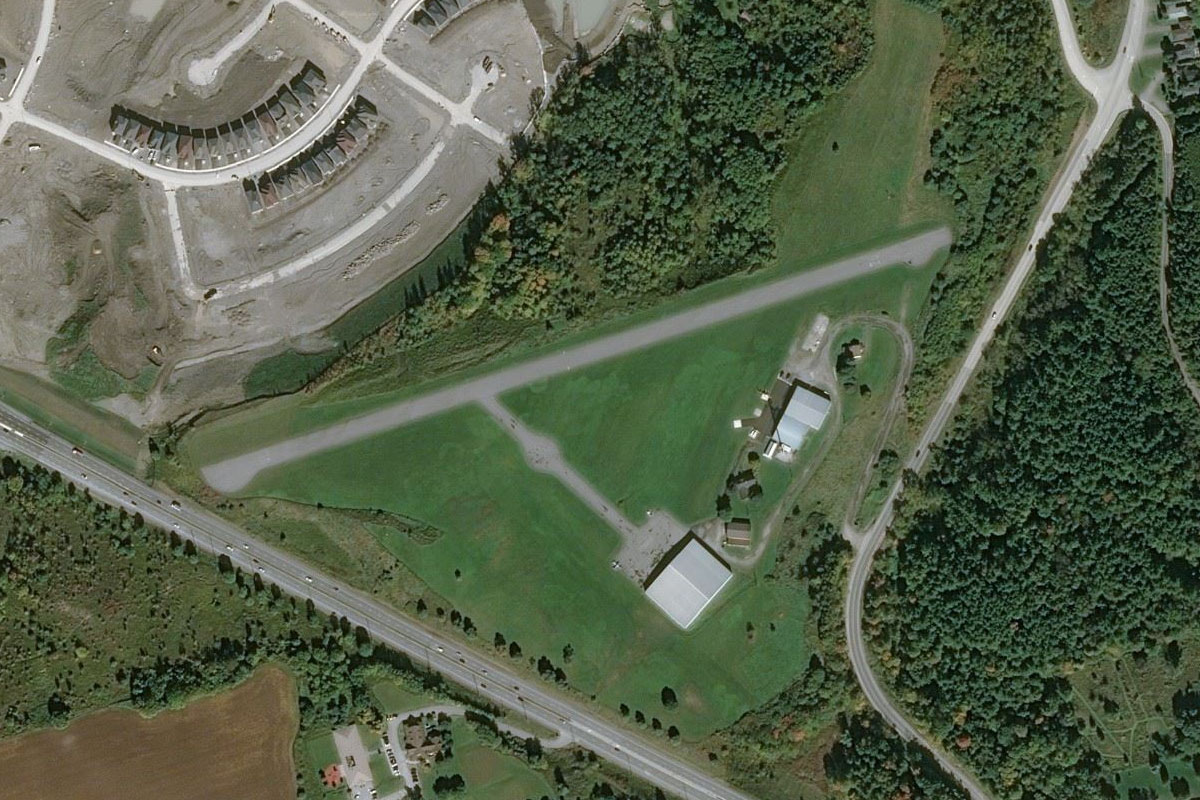
A few miles south of the golf course is Holland Landing Airpark, which sits next to Highway 11 on the southern edge of a new housing estate
Leg 25
Flying from CLA4
Leg Distance: 30.75 Approximate time at 125kts: 15 minutes.
CLA4(CLA4) to Highway 404(POI83)
Distance: 4.14NM Bearing: 136° 2 minutes
After takeoff, fly southeast to meet the major Highway 404 heading south
Highway 404(POI83) to Flemingdon Park(POI84)
Distance: 20.54NM Bearing: 179° 10 minutes
Follow the highway south towards Lake Ontario
Flemingdon Park(POI84) to Lower Don River(POI85)
Distance: 2.62NM Bearing: 231° 1 minutes
Stay with the highway as it follows the Lower Don River southwest towards Toronto
Lower Don River(POI85) to CYTZ(CYTZ)
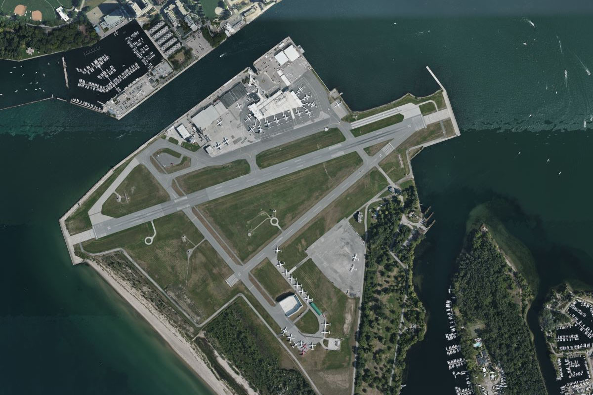
Distance: 3.45NM Bearing: 213° 2 minutes
Head for CN Tower, the tallest structure in the western hemisphere and iconic symbol of Toronto. Just south of the downtown area is Toronto City Airport, the destination for this stage