Stage 46 of the world tour continues the journey around America’s Great Lakes. Starting in the Canadian city of Toronto, you’ll cross Lake Ontario on the way to the amazing natural wonder of Niagara Falls before a journey along the length of Lake Erie visiting the major US cities of Buffalo, Cleveland and Detroit. The next part of the trip will visit rural Michigan before heading south to Indianapolis, home of the world famous motor racing circuit, then a journey east across the US Midwest visiting Cincinnati, Canton and Dayton in Ohio, which has historical links to early flight. The final destination for this part of the journey will be Pittsburgh in the historic state of Pennsylvania
Total Legs: 24 Total Distance: 1046 Total Time(125kts): 8 hours 22 minutes
Leg 1
Flying from CYTZ
Leg Distance: 37.69 Approximate time at 125kts: 18 minutes.
CYTZ(CYTZ) to Toronto(POI1)
Distance: 1.93NM Bearing: 26° 1 minutes
After takeoff, fly northeast for a closer look at Toronto, Canada's largest city. Beside the 553 metre high CN tower is the Rogers Centre, home to the Toronto Blue Jays baseball team
Toronto(POI1) to High Park(POI2)
Distance: 3.56NM Bearing: 259° 2 minutes
After viewing to downtown area, head southwest back to the shore of Lake Ontario
High Park(POI2) to Oakville(POI3)
Distance: 11.14NM Bearing: 229° 5 minutes
Follow the shore southwest until you reach the industrial area and twin piers near Oakville
Oakville(POI3) to Grimsby(POI4)
Distance: 17.61NM Bearing: 180° 8 minutes
Fly south across the lake to the town of Grimsby, which has a small harbor
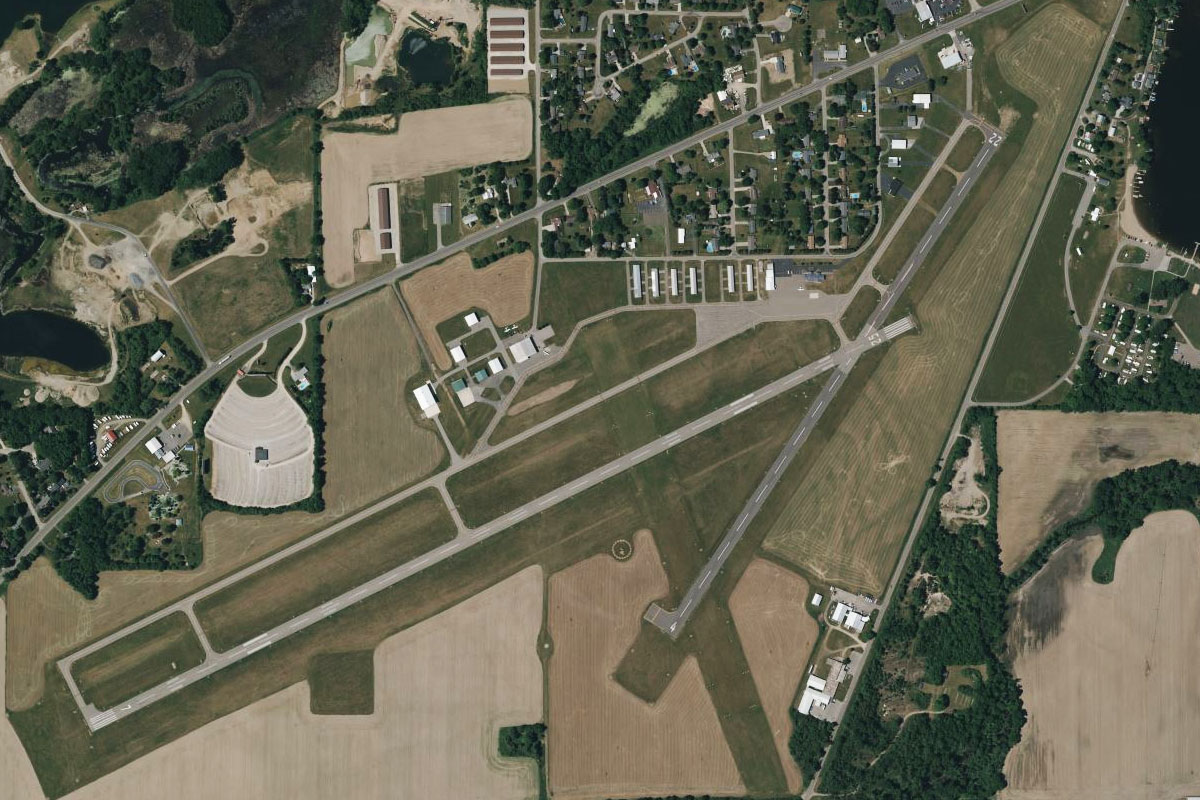
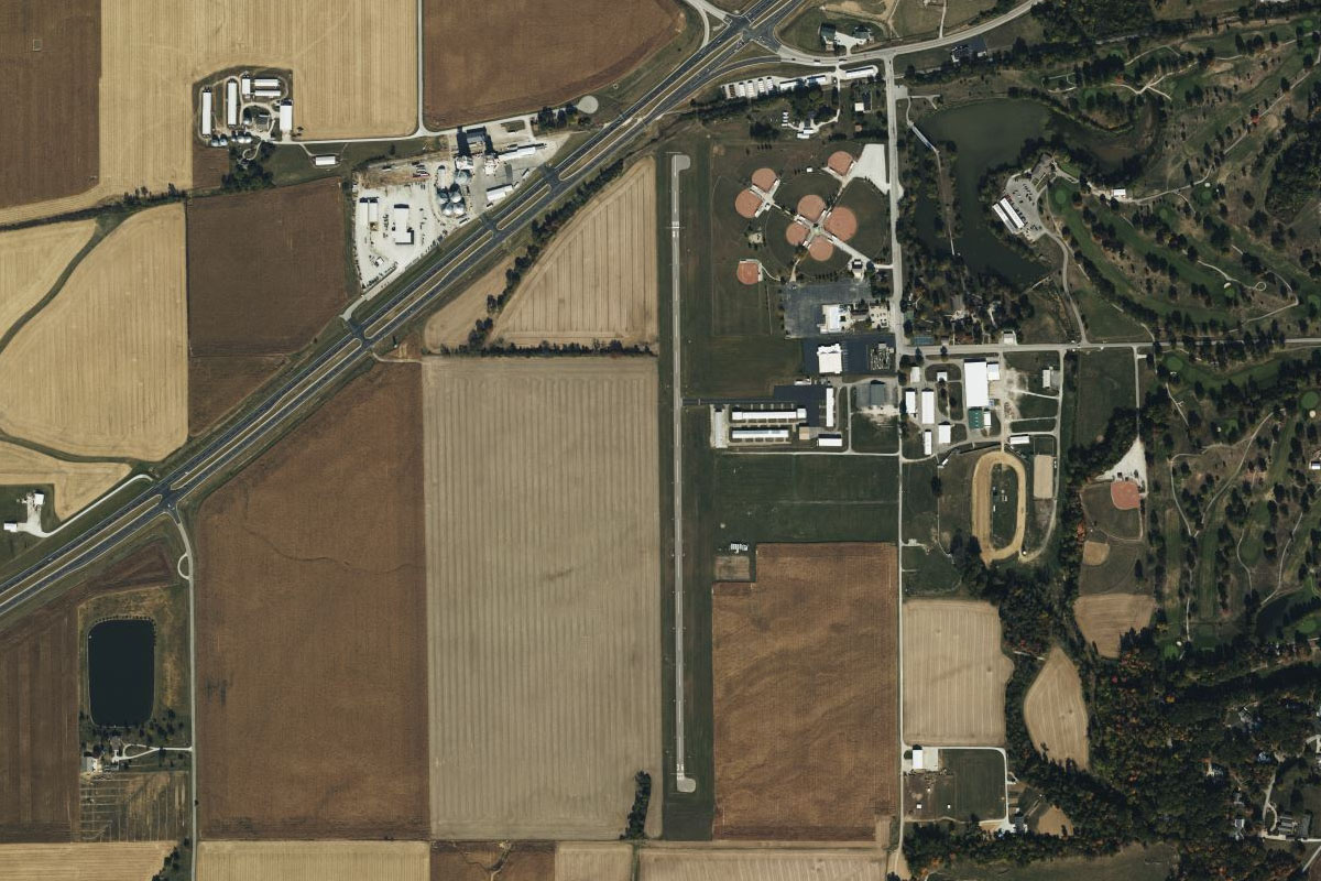
Grimsby(POI4) to CNZ8(CNZ8)
Distance: 3.45NM Bearing: 228° 2 minutes
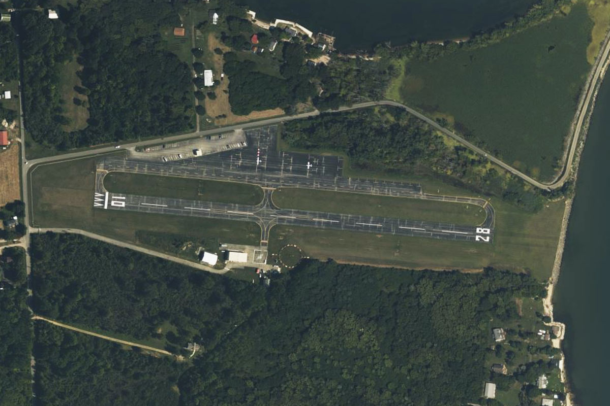
On the higher ground a few miles southwest of the town is Grimsby Regional Airport, surrounded by farmland
Leg 2
Flying from CNZ8
Leg Distance: 41.78 Approximate time at 125kts: 20 minutes.
CNZ8(CNZ8) to Jordan Harbour(POI5)
Distance: 10.1NM Bearing: 94° 5 minutes
After takeoff, fly east to meet the lake's southern shore near Jordan Harbour, the coastal inlet of 20 mile creek
Jordan Harbour(POI5) to Welland Canal(POI6)
Distance: 7.34NM Bearing: 78° 4 minutes
Follow the shore east to the entrance to the Welland Canal, a large shipping canal which connects Lake Ontario to Lake Erie. A series of 8 locks allow ships to navigate the 100 metre height difference between the two lakes
Welland Canal(POI6) to Niagara River(POI7)
Distance: 6.69NM Bearing: 79° 3 minutes
Continue east to the mouth of the Niagara River, which forms the border between the USA and Canada
Niagara River(POI7) to Niagara River(POI8)
Distance: 6.07NM Bearing: 180° 3 minutes
Follow the river south to where it narrows at the head of Niagara Gorge, where Niagara Falls originated thousands of years ago and slowly eroded back to their current position 6 miles upstream
Niagara River(POI8) to Niagara Gorge(POI9)
Distance: 1.48NM Bearing: 183° 1 minutes
Head south through the gorge, passing the two power generating stations – one on each side of the border
Niagara Gorge(POI9) to Niagara Whirlpool(POI10)
Distance: 1.64NM Bearing: 237° 1 minutes
Follow the gorge southwest to the site of the Niagara Whirlpool at a sharp turn in the river
Niagara Whirlpool(POI10) to Niagara Falls(POI11)
Distance: 2.58NM Bearing: 194° 1 minutes
Continue south along the river towards the city of Niagara, which lies on the western side of the river. Across from the city are the two main sets of waterfalls which make up Niagara Falls, one of the major tourist attractions in the USA. American Falls is on the eastern side of the river with the iconic Horseshoe Falls to the south
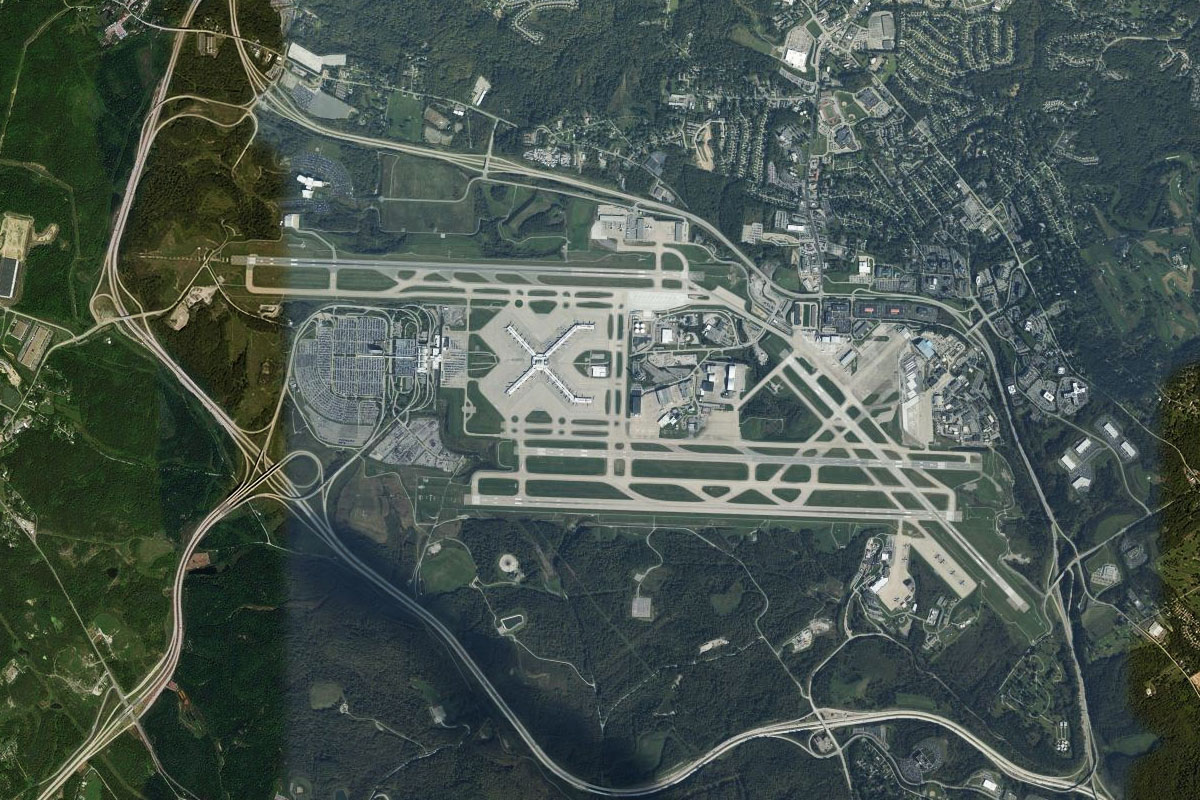
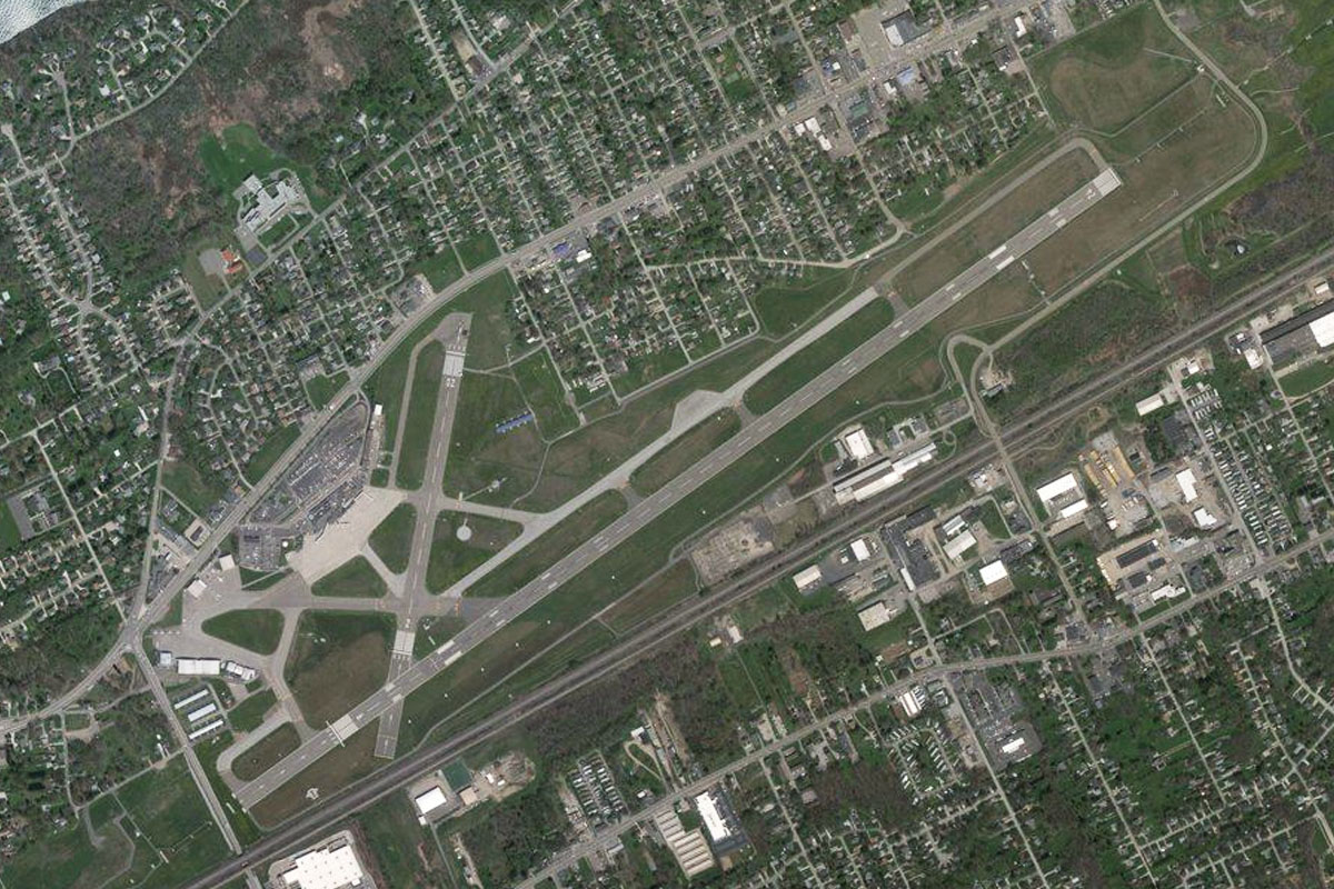
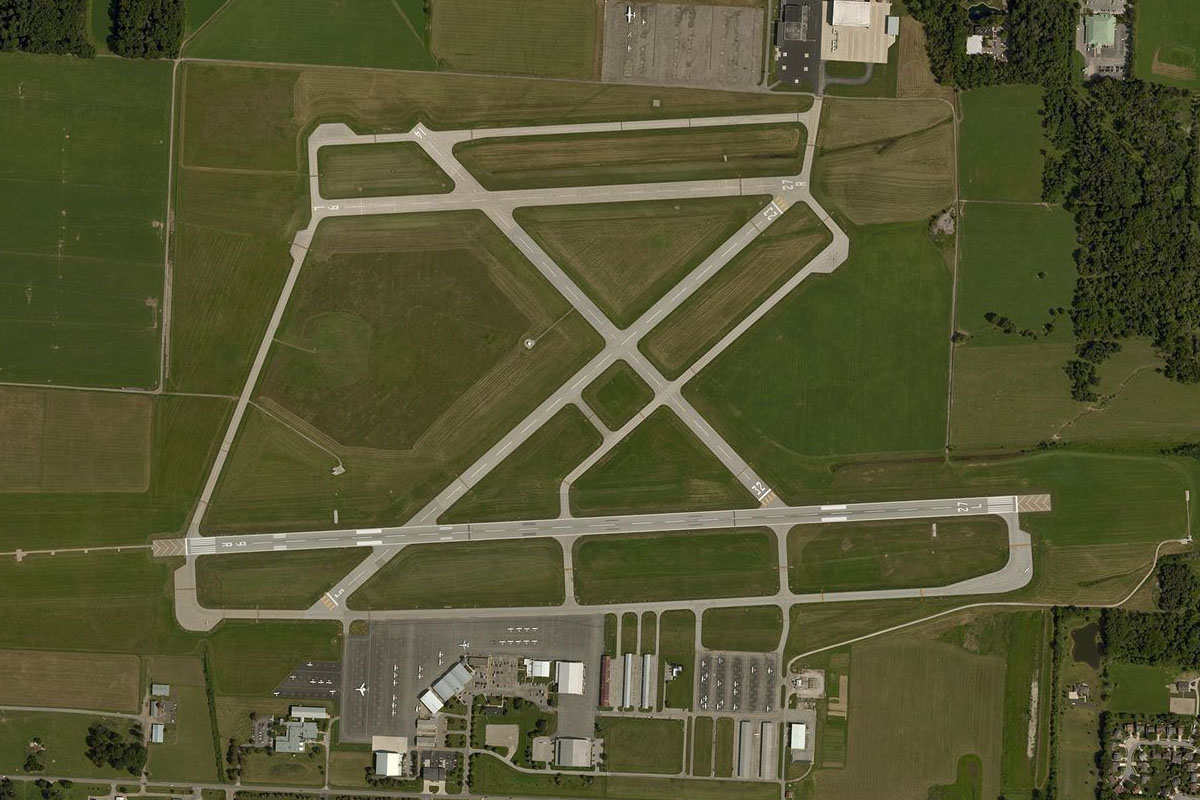
Niagara Falls(POI11) to KIAG(KIAG)
Distance: 5.88NM Bearing: 82° 3 minutes
From the falls, fly east to Niagara Falls International Airport which is in the US state of New York, a couple of miles north of the river
Leg 3
Flying from KIAG
Leg Distance: 46.05 Approximate time at 125kts: 22 minutes.
KIAG(KIAG) to Buffalo(POI12)
Distance: 13.24NM Bearing: 182° 6 minutes
After takeoff, fly south with the river to the city of Buffalo, the second largest in the state of New York
Buffalo(POI12) to Bay View(POI13)
Distance: 6.66NM Bearing: 171° 3 minutes
Continue south along the eastern shore of Lake Erie, passing Buffalo Harbor and the Steel Winds wind farm
Bay View(POI13) to Sturgeon Point(POI14)
Distance: 10.31NM Bearing: 247° 5 minutes
Follow the lake shore southwest
Sturgeon Point(POI14) to Hanford Bay(POI15)
Distance: 9.49NM Bearing: 219° 5 minutes
Continue southwest to the sandy beaches of Hanford Bay
Hanford Bay(POI15) to KDKK(KDKK)
Distance: 6.35NM Bearing: 246° 3 minutes
Keep flying southwest to Dunkirk Airport, Which is a mile south of the shore
Leg 4
Flying from KDKK
Leg Distance: 47.18 Approximate time at 125kts: 23 minutes.
KDKK(KDKK) to North East(POI16)
Distance: 26.72NM Bearing: 248° 13 minutes
Fly to the coast and continue southwest along the shore, which is mirrored by Interstate Highway 90 also heading southwest into the state of Pennsylvania
North East(POI16) to Erie(POI17)
Distance: 14.44NM Bearing: 253° 7 minutes
Continue southwest to the city of Erie. The popular natural attraction of Presque Isle juts north into the lake, forming the bay of the same name
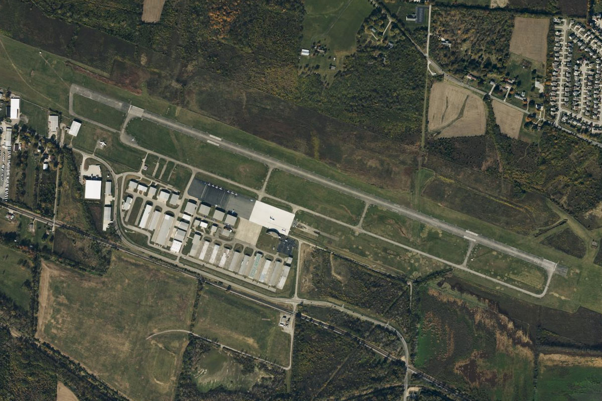
Erie(POI17) to KERI(KERI)
Distance: 6.02NM Bearing: 241° 3 minutes
Erie Airport lies near the western end of the bay
Leg 5
Flying from KERI
Leg Distance: 40.37 Approximate time at 125kts: 19 minutes.
KERI(KERI) to Conneaut(POI18)
Distance: 18.08NM Bearing: 258° 9 minutes
After takeoff, continue southwest along the lake shore past the town Conneaut, which has its own small harbour at the mouth of Conneaut Creek
Conneaut(POI18) to Ashtabula(POI19)
Distance: 11.42NM Bearing: 260° 5 minutes
Keep flying southwest to the city of Ashtabula, on the Ashtabula River which enters Lake Erie at another harbour
Ashtabula(POI19) to I-90(POI20)
Distance: 4.76NM Bearing: 186° 2 minutes
Fly south over Ashtabula to meet Interstate Highway 90 running west
I-90(POI20) to 7D9(7D9)
Distance: 6.11NM Bearing: 250° 3 minutes
Follow the highway southwest until it turns back to the west. From there, the small airstrip will be on the north side of the road, to the south of a large landfill depot
Leg 6
Flying from 7D9
Leg Distance: 39.19 Approximate time at 125kts: 19 minutes.
7D9(7D9) to Madison(POI21)
Distance: 6.52NM Bearing: 270° 3 minutes
After takeoff, follow I-90 west
Madison(POI21) to Mentor(POI22)
Distance: 13.23NM Bearing: 248° 6 minutes
Continue southwest along the highway
Mentor(POI22) to Euclid(POI23)
Distance: 9.16NM Bearing: 270° 4 minutes
When the highway turns back to the southwest, continue west into the state of Ohio to once again reach the lake shore
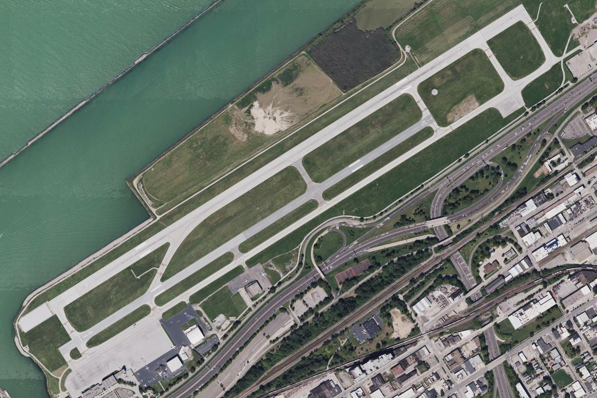
Euclid(POI23) to KBKL(KBKL)
Distance: 10.28NM Bearing: 240° 5 minutes
Follow the shore southwest towards the city of Cleveland. On the northeastern edge of the city lies Burke Lakefront Airport, home to the annual Cleveland National Air Show and once home to a temporary Indycar Racing circuit
Leg 7
Flying from KBKL
Leg Distance: 40.65 Approximate time at 125kts: 20 minutes.
KBKL(KBKL) to Airport Interchange(POI24)
Distance: 8.07NM Bearing: 238° 4 minutes
After takeoff head southwest along the shore, passing by the Rock and Roll Hall of Fame and the Cleveland Browns football stadium. Continue southwest inland towards Cleveland-Hopkins International airport
Airport Interchange(POI24) to SouthPark Mall(POI25)
Distance: 7.1NM Bearing: 187° 3 minutes
When you reach the series of freeway interchanges before the airport, turn south and follow Interstate 71 to its junction with Royalton Road at the large SouthPark Mall
SouthPark Mall(POI25) to Heart Lake(POI26)
Distance: 3.91NM Bearing: 278° 2 minutes
Follow Royalton Road west and in a few miles you will see a small heart-shaped lake next to a golf course south of the road
Heart Lake(POI26) to US-20(POI27)
Distance: 9.9NM Bearing: 279° 5 minutes
Keep following the road west until you reach the end, then continue west to meet Highway 20 heading southwest
US-20(POI27) to Oberlin Road(POI28)
Distance: 2.58NM Bearing: 248° 1 minutes
Follow the highway southwest for a few miles to the next junction that will lead west to the town of Oberlin
Oberlin Road(POI28) to I64(I64)
Distance: 9.09NM Bearing: 278° 4 minutes
Fly west over the town of Oberlin, then continue west to Ortner (Wakeman) Airport
Leg 8
Flying from I64
Leg Distance: 33.56 Approximate time at 125kts: 16 minutes.
I64(I64) to Huron(POI29)
Distance: 9.46NM Bearing: 316° 5 minutes
After takeoff, fly northwest to the large town of Huron on the lake shore
Huron(POI29) to Cedar Point(POI30)
Distance: 8.79NM Bearing: 318° 4 minutes
Follow the thin strip of land northwest to Cedar Point, home to the major amusement park of the same name which lies northeast of the city of Sandusky
Cedar Point(POI30) to Marblehead Peninsula(POI31)
Distance: 3.69NM Bearing: 320° 2 minutes
Continue northwest to the Marblehead Peninsula, which is dominated by the large Marblehead Quarry
Marblehead Peninsula(POI31) to Catawba Island(POI32)
Distance: 5.38NM Bearing: 320° 3 minutes
Keep flying northwest to the northern tip of Catawba Island
Catawba Island(POI32) to South Bass Island(POI33)
Distance: 3.55NM Bearing: 13° 2 minutes
Fly north to South Bass Island, part of the Bass Island group
South Bass Island(POI33) to 3T7(3T7)
Distance: 2.69NM Bearing: 27° 1 minutes
Continue north to Middle Bass Island, with the airport at the northern end of the main island body
Leg 9
Flying from 3T7
Leg Distance: 36.28 Approximate time at 125kts: 17 minutes.
3T7(3T7) to Ontario(POI34)
Distance: 18.41NM Bearing: 1° 9 minutes
After takeoff, fly to the north shore of Lake Erie, in Ontario Canada
Ontario(POI34) to Highway 3(POI35)
Distance: 13.13NM Bearing: 360° 6 minutes
Continue north over the Ontario farmland until you reach a main highway heading west
Highway 3(POI35) to CYQG(CYQG)
Distance: 4.74NM Bearing: 335° 2 minutes
Fly northwest to Windsor Airport which sits on the eastern outskirts of the city of Windsor
Leg 10
Flying from CYQG
Leg Distance: 46.6 Approximate time at 125kts: 22 minutes.
CYQG(CYQG) to Belle Isle(POI36)
Distance: 3.67NM Bearing: 353° 2 minutes
After takeoff, fly north to Belle Isle in the Detroit River. On the US side of the river and part of Detroit, this island plays host annually to a round of the Indycar Racing Championship
Belle Isle(POI36) to Grosse Pointe(POI37)
Distance: 4.75NM Bearing: 59° 2 minutes
Fly northeast to follow the shore of Lake St Clair along the affluent suburbs of Grosse Point, once the home to members of the Ford family
Grosse Pointe(POI37) to St Clair Shores(POI38)
Distance: 4.66NM Bearing: 19° 2 minutes
Keep following the shoreline north to the cluster of marinas at St Clair Shores
St Clair Shores(POI38) to Detroit(POI39)
Distance: 10.72NM Bearing: 233° 5 minutes
Turn and head southwest back towards downtown Detroit. Also known as Motor City, this US city was once the worlds major automotive manufacturing hub. The tallest building in the city, near the river, is home to General Motors; and the stadium precinct in the north of the city is also home to the historic Fox Theater. Detroit was also the birthplace of Motown Music and has a strong cultural background
Detroit(POI39) to Ambassador Bridge(POI40)
Distance: 1.77NM Bearing: 236° 1 minutes
Fly southwest from the city to Ambassador Bridge, the single busiest border crossing in North America
Ambassador Bridge(POI40) to Ford(POI41)
Distance: 6.73NM Bearing: 271° 3 minutes
Head west to the large industrial area, which is home to the Ford Motor Company's Dearborn plant. Beyond the factory is the testing and research track and museum
Ford(POI41) to Highway 12(POI42)
Distance: 9.64NM Bearing: 270° 5 minutes
Continue west, following the major highway towards Detroit's outer suburbs
Highway 12(POI42) to KYIP(KYIP)
Distance: 4.66NM Bearing: 246° 2 minutes
When you reach the junction with Interstate Highway 275, head southwest to Willow Run airport
Leg 11
Flying from KYIP
Leg Distance: 42.01 Approximate time at 125kts: 20 minutes.
KYIP(KYIP) to Ann Arbor(POI43)
Distance: 9.6NM Bearing: 294° 5 minutes
From Willow Run Airport, fly northwest with the Huron River to the city of Ann Arbor, home to one of the nation's finest universities – the University of Michigan, whose 100,000 plus seat stadium is south of the city
Ann Arbor(POI43) to I-94(POI44)
Distance: 9.3NM Bearing: 282° 4 minutes
Continue west to meet Interstate Highway 94 also heading west
I-94(POI44) to Jackson(POI45)
Distance: 20.25NM Bearing: 272° 10 minutes
Keep following I-94 west to the city of Jackson
Jackson(POI45) to KJXN(KJXN)
Distance: 2.86NM Bearing: 262° 1 minutes
Jackson County Airport is on the west side of the city, south of the highway
Leg 12
Flying from KJXN
Leg Distance: 38.5 Approximate time at 125kts: 18 minutes.
KJXN(KJXN) to Spring Arbor(POI46)
Distance: 3.84NM Bearing: 230° 2 minutes
After takeoff, head southwest to follow State Highway 60 which runs south past the airport before turning west
Spring Arbor(POI46) to Tekonsha(POI47)
Distance: 21.88NM Bearing: 259° 11 minutes
Follow the highway west, passing the towns of Spring Arbor, Concord and Homer before meeting Interstate Highway 69 at the town of Tekonsha
Tekonsha(POI47) to Coldwater(POI48)
Distance: 8.98NM Bearing: 181° 4 minutes
Follow the highway south to the town of Coldwater
Coldwater(POI48) to KOEB(KOEB)
Distance: 3.8NM Bearing: 255° 2 minutes
As you approach Coldwater, turn right and head to the airport on the town's western side
Leg 13
Flying from KOEB
Leg Distance: 44.94 Approximate time at 125kts: 22 minutes.
KOEB(KOEB) to I-69(POI49)
Distance: 5.46NM Bearing: 158° 3 minutes
After takeoff, head southeast back to the interstate highway
I-69(POI49) to Angola(POI50)
Distance: 10.85NM Bearing: 189° 5 minutes
Follow the highway south past a group of lakes towards the town of Angola in the state of Indiana
Angola(POI50) to Auburn(POI51)
Distance: 18.52NM Bearing: 194° 9 minutes
The highway will curve around the west of Angola before continuing south towards the large town of Auburn
Auburn(POI51) to Cedar Creek(POI52)
Distance: 8.11NM Bearing: 197° 4 minutes
Continue south along the highway from Auburn until it reaches the wooded margins of Cedar Creek
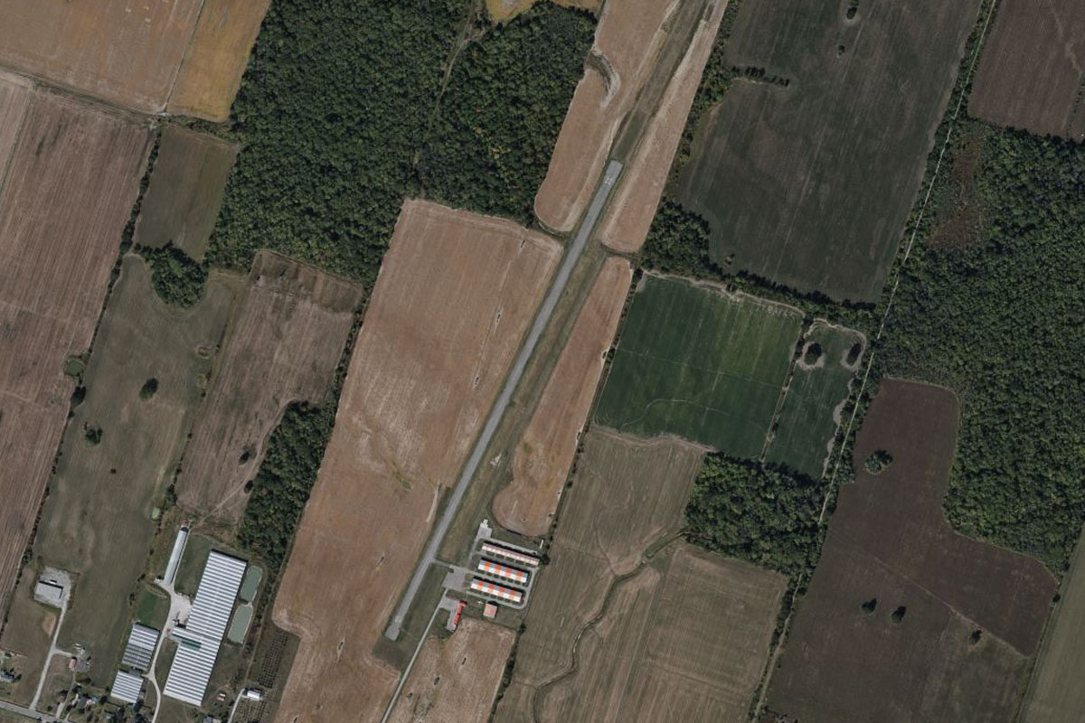
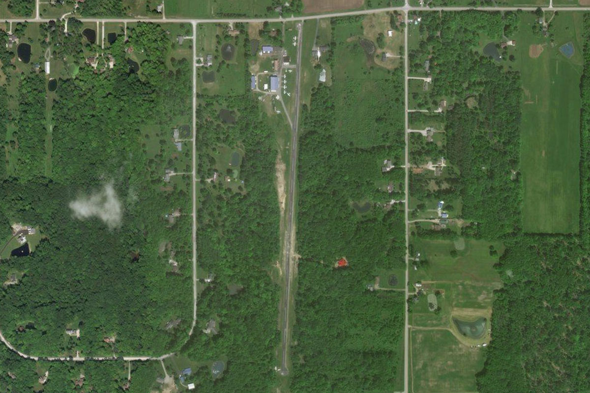
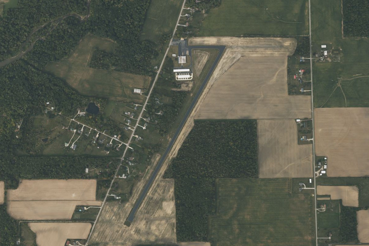
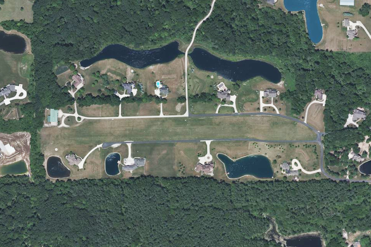
Cedar Creek(POI52) to II28(II28)
Distance: 2NM Bearing: 140° 1 minutes
Head south east to the small airpark half a mile south of the creek
Leg 14
Flying from II28
Leg Distance: 51.82 Approximate time at 125kts: 25 minutes.
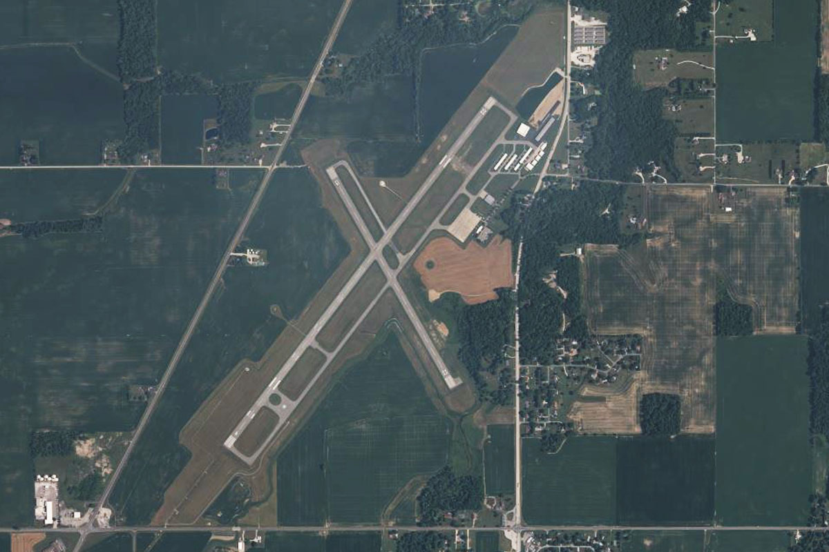
II28(II28) to Fort Wayne(POI53)
Distance: 7.91NM Bearing: 209° 4 minutes
Fly southwest towards the downtown area of Fort Wayne, the second largest city in the state after Indianapolis
Fort Wayne(POI53) to I-69(POI54)
Distance: 18.09NM Bearing: 218° 9 minutes
Continue southwest over Fort Wayne International airport to once again meet Interstate Highway 69 also heading southwest
I-69(POI54) to I-69(POI55)
Distance: 17.36NM Bearing: 219° 8 minutes
Keep following the highway southwest
I-69(POI55) to KMZZ(KMZZ)
Distance: 8.46NM Bearing: 230° 4 minutes
When the highway turns south, continue southwest to Marion Airport, which lies south of the large town
Leg 15
Flying from KMZZ
Leg Distance: 43.46 Approximate time at 125kts: 21 minutes.
KMZZ(KMZZ) to Anderson(POI56)
Distance: 23.13NM Bearing: 184° 11 minutes
After takeoff, fly south to the large town of Anderson, passing over the smaller town of Alexandria on the way
Anderson(POI56) to Fishers(POI57)
Distance: 17.75NM Bearing: 247° 9 minutes
Meet Interstate Highway 69, which runs along the south of the town, then follow it southwest to the outer suburbs of Indianapolis
Fishers(POI57) to KUMP(KUMP)
Distance: 2.58NM Bearing: 233° 1 minutes
As the highway turns towards the city, it will pass the general aviation airport of Indianapolis Metro, which sits a mile west of the road
Leg 16
Flying from KUMP
Leg Distance: 63.13 Approximate time at 125kts: 30 minutes.
KUMP(KUMP) to I-465(POI58)
Distance: 10.17NM Bearing: 273° 5 minutes
After takeoff, fly west to meet the Interstate 465 beltway and follow it west
I-465(POI58) to Eagle Creek(POI59)
Distance: 5.7NM Bearing: 190° 3 minutes
Follow I-465 south from its junction with I-865 next to a tank farm
Eagle Creek(POI59) to Speedway(POI60)
Distance: 3.05NM Bearing: 147° 1 minutes
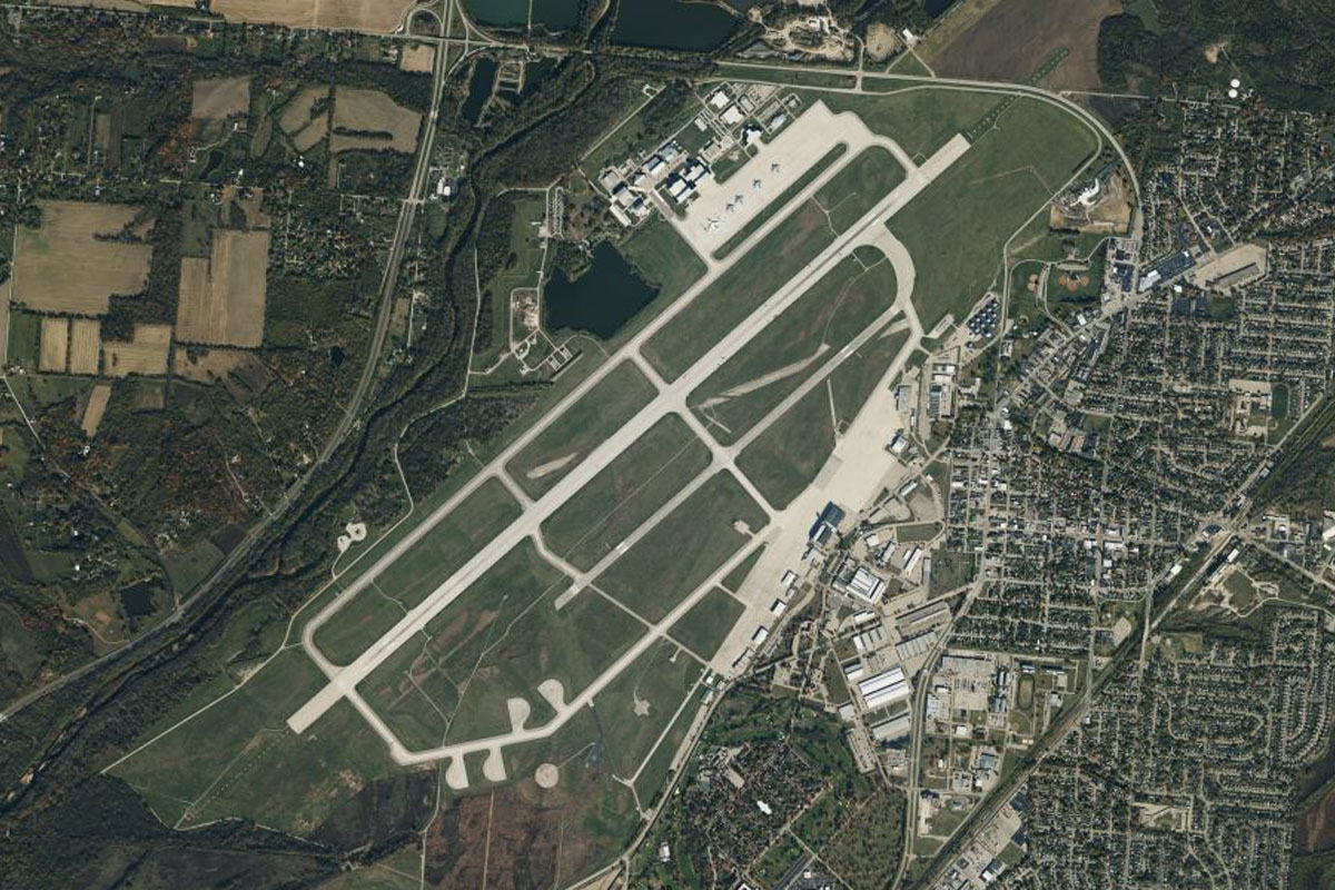
As you approach Eagle Creek Airport on the edge of the reservoir, turn southeast and head for the Indianapolis Motor Speedway, home to the famous Indy 500 and with seating for over 250,000 fans is the largest sports venue in the world
Speedway(POI60) to Indianapolis(POI61)
Distance: 3.91NM Bearing: 118° 2 minutes
From the speedway, head southeast to downtown Indianapolis, the capital and largest city in the state of Indiana. The covered stadium south of the city is home to the Indianapolis Colts football team
Indianapolis(POI61) to Beech Grove(POI62)
Distance: 5.04NM Bearing: 125° 2 minutes
From the city, fly southeast and follow Interstate Highway 74 and the railway both running parallel southeast
Beech Grove(POI62) to Shelbyville(POI63)
Distance: 18.05NM Bearing: 135° 9 minutes
Continue southeast with the highway and railway to the town of Shelbyville
Shelbyville(POI63) to Greensburg(POI64)
Distance: 14.84NM Bearing: 138° 7 minutes
Keep heading southeast to the next major town, Greensburg
Greensburg(POI64) to I34(I34)
Distance: 2.37NM Bearing: 178° 1 minutes
As you approach Greensburg, turn south after you pass the large factory northwest of the town and head to the small airstrip south of another smaller highway
Leg 17
Flying from I34
Leg Distance: 39.97 Approximate time at 125kts: 19 minutes.
I34(I34) to Batesville(POI65)
Distance: 13.57NM Bearing: 98° 7 minutes
After takeoff, head east and follow Interstate Highway 74 east to the town of Batesville
Batesville(POI65) to Harrison(POI66)
Distance: 19.61NM Bearing: 104° 9 minutes
Stay with the highway as it continues east towards the town of Harrison on the Whitewater River in the state of Ohio
Harrison(POI66) to OA16(OA16)
Distance: 6.79NM Bearing: 173° 3 minutes
Follow the river south from Harrison to where it meets the Great Miami River near a group of large ponds. On a hill opposite the river junction is the small airstrip of Lost Bridge Airport
Leg 18
Flying from OA16
Leg Distance: 30.53 Approximate time at 125kts: 15 minutes.
OA16(OA16) to Ohio River(POI67)
Distance: 2.04NM Bearing: 116° 1 minutes
After takeoff head southeast to the Ohio River which forms the borer between Ohio and Kentucky
Ohio River(POI67) to Ohio River(POI68)
Distance: 7.13NM Bearing: 133° 3 minutes
Follow the picturesque river valley southeast
Ohio River(POI68) to Cincinnati(POI69)
Distance: 5.25NM Bearing: 79° 3 minutes
Keep following the river east to the city of Cincinnati. The major sporting arenas are alongside the river south of the downtown area
Cincinnati(POI69) to Ivorydale(POI70)
Distance: 4.98NM Bearing: 15° 2 minutes
After passing the city, head north to the industrial area
Ivorydale(POI70) to KHAO(KHAO)
Distance: 11.13NM Bearing: 360° 5 minutes
Head north from the industrial area over the outer suburbs to Butler County Regional Airport
Leg 19
Flying from KHAO
Leg Distance: 37.81 Approximate time at 125kts: 18 minutes.
KHAO(KHAO) to Great Miami River(POI71)
Distance: 3.4NM Bearing: 10° 2 minutes
Fly north past the town of Hamilton to the Great Miami River heading east
Great Miami River(POI71) to Middletown(POI72)
Distance: 8.58NM Bearing: 43° 4 minutes
Follow the river as it runs east, then north past Middletown and its municipal airport
Middletown(POI72) to Franklin(POI73)
Distance: 4.67NM Bearing: 81° 2 minutes
Keep following the river east to the town of Franklin
Franklin(POI73) to Dayton(POI74)
Distance: 13.31NM Bearing: 30° 6 minutes
The river will turn northeast and head for downtown Dayton, a city with strong historical links to aviation. It is the birthplace of Orville Wright and home to the National Museum of the United States Air Force
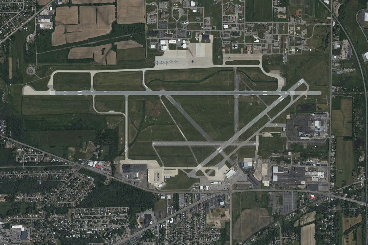
Dayton(POI74) to KFFO(KFFO)
Distance: 7.85NM Bearing: 65° 4 minutes
Head northeast from the city to Wright-Patterson Air Force Base. Just south of the airport is Huffman Prairie, a field where the Wright Brothers tested their first aircraft
Leg 20
Flying from KFFO
Leg Distance: 58.12 Approximate time at 125kts: 28 minutes.
KFFO(KFFO) to Springfield(POI75)
Distance: 11.72NM Bearing: 65° 6 minutes
After takeoff, fly northeast and follow the large highway northeast to the city of Springfield
Springfield(POI75) to Columbus(POI76)
Distance: 38.53NM Bearing: 93° 18 minutes
From Springfield, fly head and follow Interstate Highway 70 east all the way to downtown Columbus, the capital and largest city in Ohio
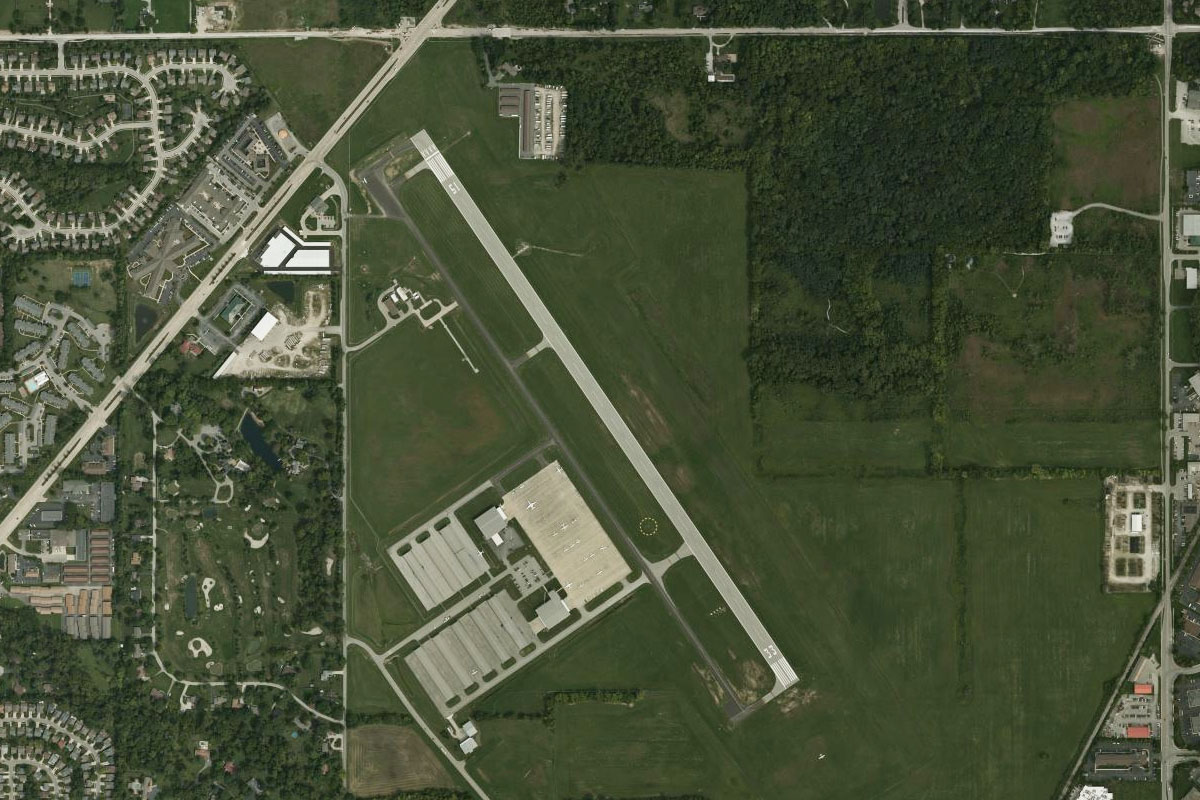
Columbus(POI76) to KOSU(KOSU)
Distance: 7.87NM Bearing: 340° 4 minutes
After a left circuit of the city, head northwest to the Ohio State University Airport which is owned by the university of the same name, one of the largest in the country
Leg 21
Flying from KOSU
Leg Distance: 45.62 Approximate time at 125kts: 22 minutes.
KOSU(KOSU) to Alum Creek Lake(POI77)
Distance: 8.54NM Bearing: 49° 4 minutes
After takeoff, fly northeast to join Interstate Highway 71 at the southern end of Alum Creek Lake
Alum Creek Lake(POI77) to I-71(POI78)
Distance: 7.41NM Bearing: 18° 4 minutes
Follow I-71 north
I-71(POI78) to I-71(POI79)
Distance: 6.07NM Bearing: 53° 3 minutes
Keep following the highway northeast
I-71(POI79) to I-71(POI80)
Distance: 3.31NM Bearing: 13° 2 minutes
As it passes a large shooting range, the highway will turn back to the north
I-71(POI80) to Mount Gilead(POI81)
Distance: 7.12NM Bearing: 5° 3 minutes
When the highway turns back to the northeast, follow the minor road north to the town of Mount Gilead
Mount Gilead(POI81) to Galion(POI82)
Distance: 10.97NM Bearing: 13° 5 minutes
Continue north to the next town, Galion
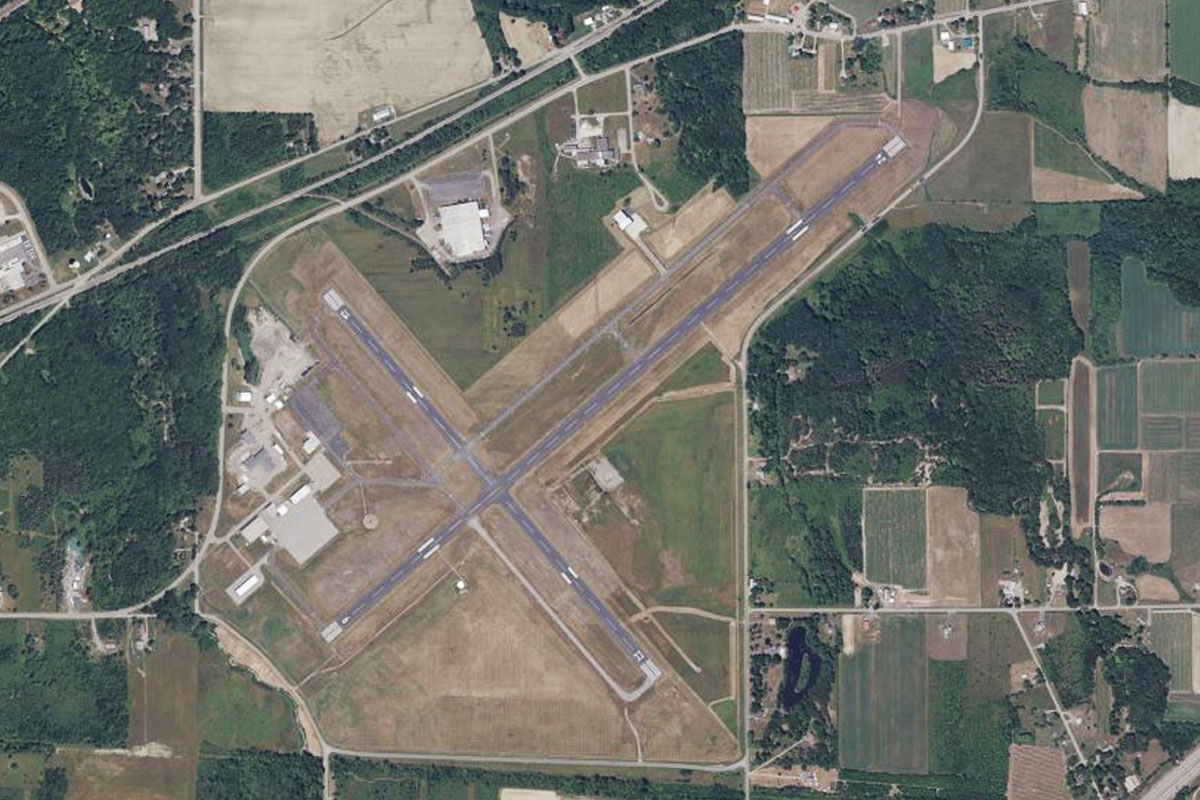
Galion(POI82) to OH21(OH21)
Distance: 2.2NM Bearing: 92° 1 minutes
Head to the grass airfield a mile east of the town
Leg 22
Flying from OH21
Leg Distance: 50.33 Approximate time at 125kts: 24 minutes.
OH21(OH21) to Clear Fork Reservoir(POI83)
Distance: 4.53NM Bearing: 107° 2 minutes
After takeoff, head east to the northern end of Clear Fork reservoir
Clear Fork Reservoir(POI83) to Lexington(POI84)
Distance: 4.19NM Bearing: 136° 2 minutes
Fly southeast to the town of Lexington at the other end of the reservoir. Just to the south is the Mid Ohio Sports Car Course which hosts a number of racing series including Indycar and Nascar
Lexington(POI84) to Mansfield(POI85)
Distance: 6.91NM Bearing: 39° 3 minutes
When you reach the town, turn northeast and head to the nearby city of Mansfield. Meet US Highway 30 which runs west-east on the northern side of the city. The large correctional facility on the north side of the freeway was featured in the film The Shawshank Redemption
Mansfield(POI85) to Wooster(POI86)
Distance: 25.53NM Bearing: 96° 12 minutes
Follow the highway east to the large town of Wooster
Wooster(POI86) to US-30(POI87)
Distance: 7.21NM Bearing: 97° 3 minutes
Follow the highway east from Wooster where it will make a large right then left curve
US-30(POI87) to OH22(OH22)
Distance: 1.96NM Bearing: 181° 1 minutes
From the exit at the eastern end of the left hand curve, head to the small airstrip 2 miles south
Leg 23
Flying from OH22
Leg Distance: 44.1 Approximate time at 125kts: 21 minutes.
OH22(OH22) to US-30(POI88)
Distance: 9.78NM Bearing: 98° 5 minutes
Follow the grid of fields east until you reach US Highway 30 also heading east
US-30(POI88) to Canton(POI89)
Distance: 8.82NM Bearing: 87° 4 minutes
Keep following the highway east to the city of Canton, the birthplace of the NFL and home to the Pro Football Hall of Fame
Canton(POI89) to Alliance(POI90)
Distance: 14.35NM Bearing: 67° 7 minutes
From Canton, fly northeast to the large town of Alliance. US highway 62 also leads to the town
Alliance(POI90) to 38D(38D)
Distance: 11.15NM Bearing: 89° 5 minutes
Fly east over the next small town of Sebring towards the town of Salem. The airport is a few miles north of the town
Leg 24
Flying from 38D
Leg Distance: 46.68 Approximate time at 125kts: 22 minutes.
38D(38D) to I-76(POI91)
Distance: 10.57NM Bearing: 99° 5 minutes
After takeoff, head east where you will pass a major highway heading south on the way to meeting up with Interstate Highway 76 running southeast
I-76(POI91) to Beaver River(POI92)
Distance: 16.24NM Bearing: 129° 8 minutes
Follow I-76 southeast until it crosses the Beaver River
Beaver River(POI92) to Beaver(POI93)
Distance: 7.15NM Bearing: 178° 3 minutes
Follow the Beaver River south to where it meets the Ohio River at the town of Beaver
Beaver(POI93) to Ohio River(POI94)
Distance: 7.88NM Bearing: 169° 4 minutes
Follow the Ohio River south
Ohio River(POI94) to KPIT(KPIT)
Distance: 4.84NM Bearing: 191° 2 minutes
When the river starts to turn southeast, fly south to Pittsburgh International Airport, the destination for this stage of the tour