Stage 47 of the tour journeys through the most populated region of the USA – the northeast. Starting in Pittsburgh, you’ll travel across the beautiful Appalachian Mountains on the way to the nation’s capital, Washington D.C. There’s plenty of history in this part of the country, including the Civil War battlefields of Antietam and Gettysburg and the cities of Baltimore and Philadelphia as you make your way through the states of Maryland, Pennsylvania, Delaware and New Jersey on the way to the Big Apple – New York City. The final part of the stage will take you east via the beautiful scenery of Long Island and Cape Cod to the destination city for this stage – Boston, Massachusetts
Total Legs: 30 Total Distance: 1287 Total Time(125kts): 10 hours 17 minutes
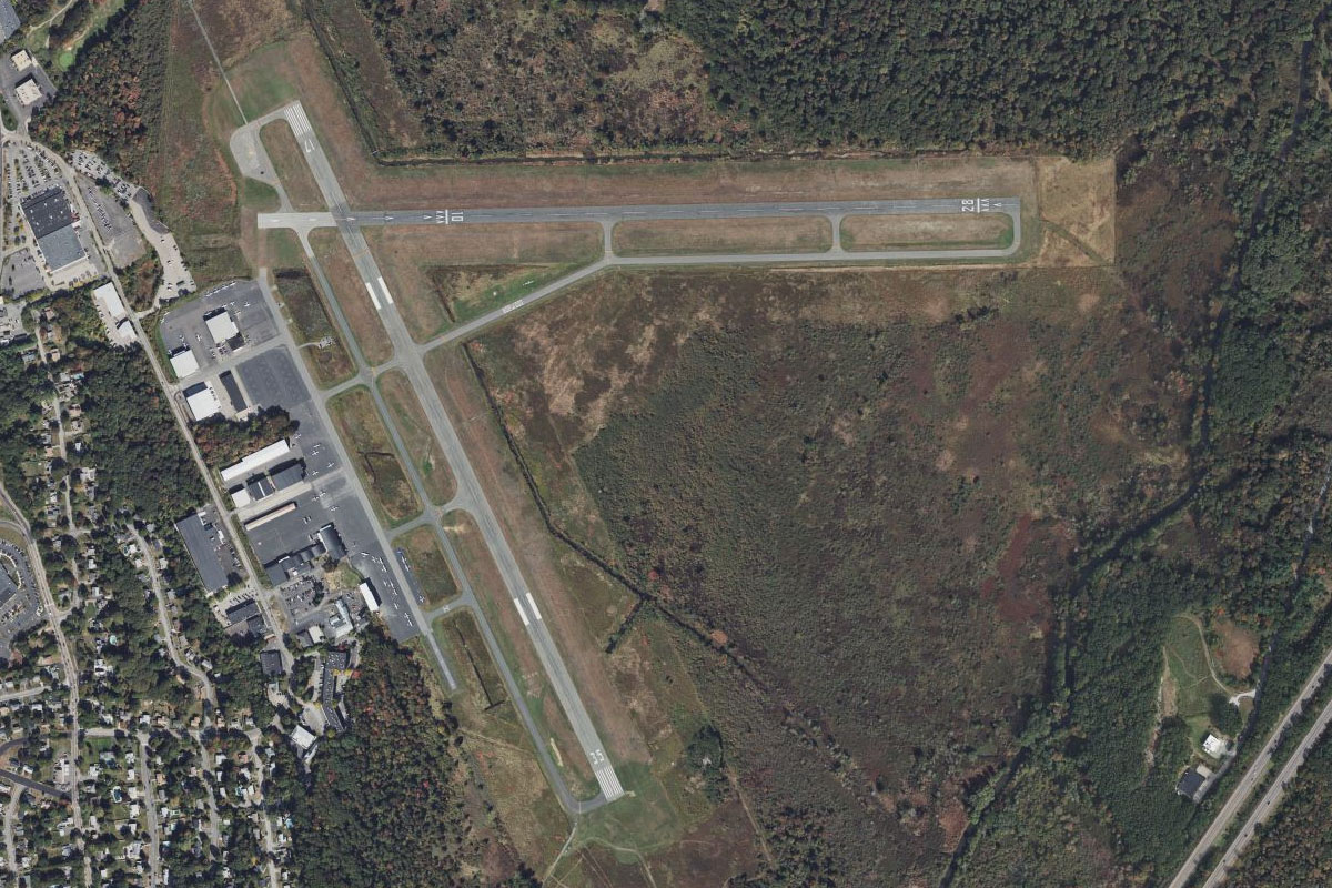
Leg 1
Flying from KPIT
Leg Distance: 29.96 Approximate time at 125kts: 14 minutes.
KPIT(KPIT) to Ohio River(POI1)
Distance: 7.59NM Bearing: 100° 4 minutes
Fly east (runway heading) to meet the Ohio River
Ohio River(POI1) to Pittsburgh(POI2)
Distance: 4.2NM Bearing: 148° 2 minutes
Follow the river southeast to the city of Pittsburgh. Home to over 2 million people, this city once synonymous with the steel industry has reinvented itself as a healthcare and technology hub. The stadium on the north side of the river is home to the Pittsburgh Steelers football team. This is also the point where the Allegheny and Monongahela Rivers join to form the Ohio River
Pittsburgh(POI2) to Monongahela River(POI3)
Distance: 3.9NM Bearing: 137° 2 minutes
Follow the Monongahela River southeast until it turns northeast near a road and rail bridge crossing
Monongahela River(POI3) to Elizabeth(POI4)
Distance: 7.49NM Bearing: 170° 4 minutes
Cut across land south to meet the river further upstream
Elizabeth(POI4) to Monongahela River(POI5)
Distance: 4.76NM Bearing: 244° 2 minutes
Follow the river as it heads southwest
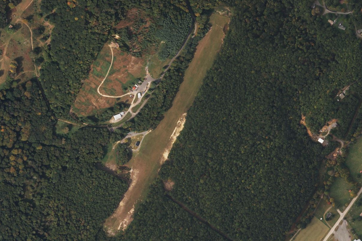
Monongahela River(POI5) to G05(G05)
Distance: 2.02NM Bearing: 299° 1 minutes
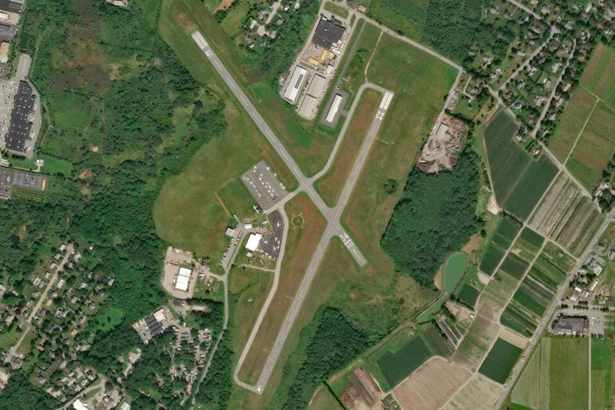
At the u-turn in the river, head northwest to the higher ground on the west side of the river to Finleyville Airport, which sits on a bluff overlooking the surrounding towns
Leg 2
Flying from G05
Leg Distance: 53.48 Approximate time at 125kts: 26 minutes.
G05(G05) to Brownsville(POI6)
Distance: 14.01NM Bearing: 166° 7 minutes
After takeoff, head southeast and follow the river and the Pennsylvania Turnpike 43 as they wind their way south
Brownsville(POI6) to Uniontown(POI7)
Distance: 10.91NM Bearing: 144° 5 minutes
Follow the freeway as it crosses the river and heads southeast to Uniontown, which lies at the western edge of the Appalachian Mountains. Uniontown is also known as the birthplace of the Big Mac from McDonalds
Uniontown(POI7) to Youghiogheny River(POI8)
Distance: 17.95NM Bearing: 131° 9 minutes
From Uniontown, fly southeast to meet US Highway 40 heading southeast over the mountains, and follow it to the Youhiogheny River
Youghiogheny River(POI8) to Friendsville(POI9)
Distance: 4.87NM Bearing: 193° 2 minutes
Follow the river south as it narrows near the town of Friendsville in the state of Maryland
Friendsville(POI9) to 2G4(2G4)
Distance: 5.74NM Bearing: 159° 3 minutes
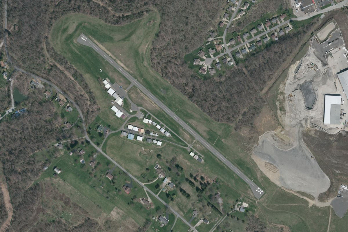
Fly southeast to Garrett County Airport, which sits on high ground just north of the town of McHenry
Leg 3
Flying from 2G4
Leg Distance: 39.44 Approximate time at 125kts: 19 minutes.
2G4(2G4) to Deep Creek Lake(POI10)
Distance: 9.35NM Bearing: 180° 4 minutes
After takeoff, head south to the southern end of the nearby lake, then continue south towards the wind farm running along the top of the ridge ahead, which is part of the Allegheny Mountains
Deep Creek Lake(POI10) to Backbone Mountain(POI11)
Distance: 20.85NM Bearing: 228° 10 minutes
Follow the mountain ridge and trail of wind turbines southwest into West Virginia, passing the highest point in Maryland along the way at Hoye Crest
Backbone Mountain(POI11) to WV62(WV62)
Distance: 9.24NM Bearing: 140° 4 minutes
Once you pass the last of the wind turbines, turn southeast across the mountains to reach the Canaan Valley. Windwood Airstrip is in the middle of the valley, just north of the golf course
Leg 4
Flying from WV62
Leg Distance: 42.87 Approximate time at 125kts: 21 minutes.
WV62(WV62) to Seneca Rocks(POI12)
Distance: 13.95NM Bearing: 180° 7 minutes
After takeoff, fly south over the nearby mountains to the series of parallel valleys running southwest. Overlooking the valley is a craggy rock formation and local attraction, Seneca Rocks
Seneca Rocks(POI12) to Germany Valley(POI13)
Distance: 19.75NM Bearing: 218° 9 minutes
Follow the river valley southwest. Once the river turns away to the west and you pass the two mile long ridge of Snowy Mountain on your left, a wider valley will open out to the east
Germany Valley(POI13) to Seybert Hills(POI14)
Distance: 6.53NM Bearing: 180° 3 minutes
Fly south over the wider valley, then into the next valley beyond, where you should be just north of the small town of Monterey
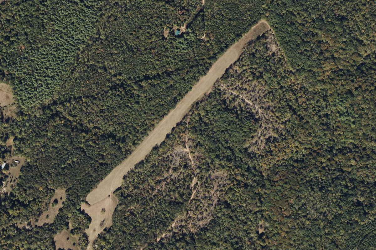
Seybert Hills(POI14) to 7VA9(7VA9)
Distance: 2.64NM Bearing: 232° 1 minutes
Fly southwest over the town to the airstrip which sits on the western edge of the valley
Leg 5
Flying from 7VA9
Leg Distance: 29.77 Approximate time at 125kts: 14 minutes.
7VA9(7VA9) to US220(POI15)
Distance: 14.06NM Bearing: 216° 7 minutes
Follow the valley southwest along with US Highway 220
US220(POI15) to Hidden Valley(POI16)
Distance: 6.94NM Bearing: 227° 3 minutes
When the highway turns east into an adjacent valley, continue southwest along the valley you are in until you cross an area of forest
Hidden Valley(POI16) to KHSP(KHSP)
Distance: 8.77NM Bearing: 192° 4 minutes
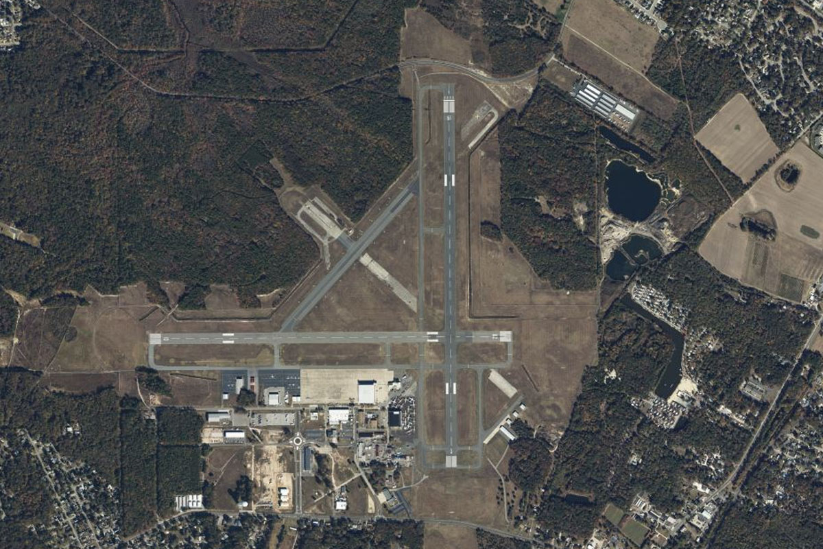
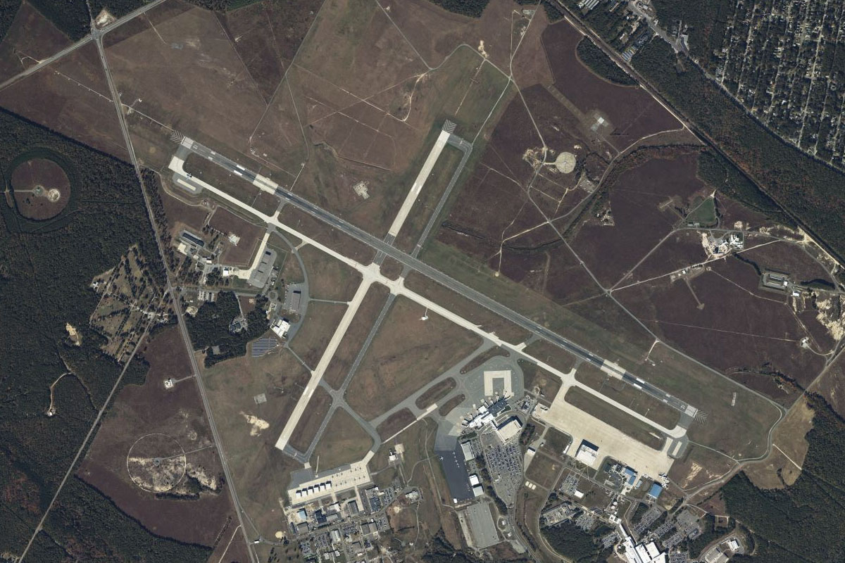
As the forest gives way to more farmland, fly south towards the tall mountain ridge ahead, and Ingalls Field Airport which is one of the highest airports east of the Mississippi River
Leg 6
Flying from KHSP
Leg Distance: 54.67 Approximate time at 125kts: 26 minutes.
KHSP(KHSP) to Clifton Forge(POI17)
Distance: 8.19NM Bearing: 178° 4 minutes
After takeoff, fly south to lower terrain, and the town of Clifton Forge which lies on the Jackson River
Clifton Forge(POI17) to Big House Mountain(POI18)
Distance: 11.46NM Bearing: 100° 6 minutes
From Clifton Gorge, fly east towards the large twin peaks of Big House and Little House Mountain
Big House Mountain(POI18) to Lexington(POI19)
Distance: 6NM Bearing: 117° 3 minutes
Continue east to the large town of Lexington
Lexington(POI19) to Buena Vista(POI20)
Distance: 5.42NM Bearing: 131° 3 minutes
A highway will lead you southeast to another large town, Buena Vista
Buena Vista(POI20) to Blue Ridge Mountains(POI21)
Distance: 13.25NM Bearing: 92° 6 minutes
Fly east across the picturesque Blue Ridge Mountains, passing by some of the tallest peaks in the area
Blue Ridge Mountains(POI21) to Aggregate Quarry(POI22)
Distance: 3.45NM Bearing: 172° 2 minutes
Once you cross the mountains, look for a small quarry to the south, which sits next to a small lake
Aggregate Quarry(POI22) to Tye River(POI23)
Distance: 5.1NM Bearing: 137° 2 minutes
From the Quarry, fly southeast to where the major highway crosses the Tye River
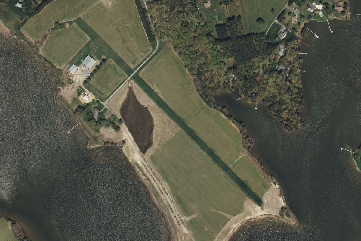
Tye River(POI23) to 4VA5(4VA5)
Distance: 1.8NM Bearing: 94° 1 minutes
Just east of the highway is a small grass airstrip running northeast from the river
Leg 7
Flying from 4VA5
Leg Distance: 40.55 Approximate time at 125kts: 19 minutes.
4VA5(4VA5) to Nelson Lake(POI24)
Distance: 3.01NM Bearing: 51° 1 minutes
Fly northeast (runway heading) after takeoff to meet the railway line heading northeast
Nelson Lake(POI24) to Rockfish(POI25)
Distance: 8.67NM Bearing: 53° 4 minutes
Follow the railway northeast through a valley
Rockfish(POI25) to US-29(POI26)
Distance: 5.48NM Bearing: 32° 3 minutes
Keep following the railway northeast towards another valley where it will meet US Highway 29 heading in the same direction
US-29(POI26) to Tom Mountain(POI27)
Distance: 5.35NM Bearing: 40° 3 minutes
Follow the highway northeast through the small valley
Tom Mountain(POI27) to I-64(POI28)
Distance: 6.21NM Bearing: 68° 3 minutes
The highway will continue northeast through a small mountain range before a junction with Interstate Highway 64 on the outskirts of Charlottesville
I-64(POI28) to Monticello(POI29)
Distance: 4.51NM Bearing: 99° 2 minutes
Follow the interstate highway east along the southern suburbs of Charlottesville. On a hill south of the highway is Monticello, the plantation home of Thomas Jefferson
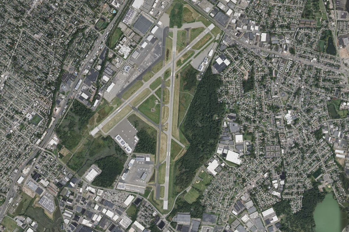
Monticello(POI29) to KCHO(KCHO)
Distance: 7.32NM Bearing: 8° 4 minutes
From Monticello, head north to Charlottesville Airport, which sits a few miles north of the city
Leg 8
Flying from KCHO
Leg Distance: 36.92 Approximate time at 125kts: 18 minutes.
KCHO(KCHO) to US-29(POI30)
Distance: 18.45NM Bearing: 43° 9 minutes
After takeoff, fly northeast along US highway 29
US-29(POI30) to Culpeper(POI31)
Distance: 11.13NM Bearing: 84° 5 minutes
The highway will turn east to the large town of Culpeper and pass to its south
Culpeper(POI31) to 02VA(02VA)
Distance: 7.34NM Bearing: 106° 4 minutes
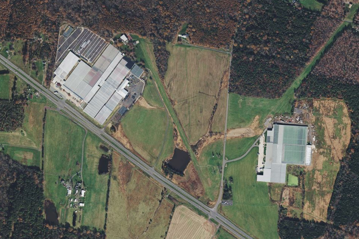
As the highway turns northeast, state highway 3 will branch off and continue east. Follow this highway past the quarry to Greenhouse airstrip which sits next to a large greenhouse complex on the north side of the highway
Leg 9
Flying from 02VA
Leg Distance: 59.16 Approximate time at 125kts: 28 minutes.
02VA(02VA) to Lake of the Woods(POI32)
Distance: 7.21NM Bearing: 146° 3 minutes
After takeoff, follow the highway southeast until you reach a reservoir on the south side of the road
Lake of the Woods(POI32) to Potomac River(POI33)
Distance: 20.63NM Bearing: 90° 10 minutes
Fly east across the Virginia landscape until you reach the Potomac River
Potomac River(POI33) to Quantico(POI34)
Distance: 7.21NM Bearing: 26° 3 minutes
Follow the river north past Quantico, home of one of the largest Marine Corps bases in the country as well as national institutions such as the FBI Laboratory, the FBI Academy and the Naval Criminal Investigative Service – NCIS
Quantico(POI34) to Lower Potomac River(POI35)
Distance: 15.65NM Bearing: 55° 8 minutes
Follow the river northeast to where it narrows and turns north. Just before it narrows, on the left bank is Mount Vernon, once home to George Washington, the first US President
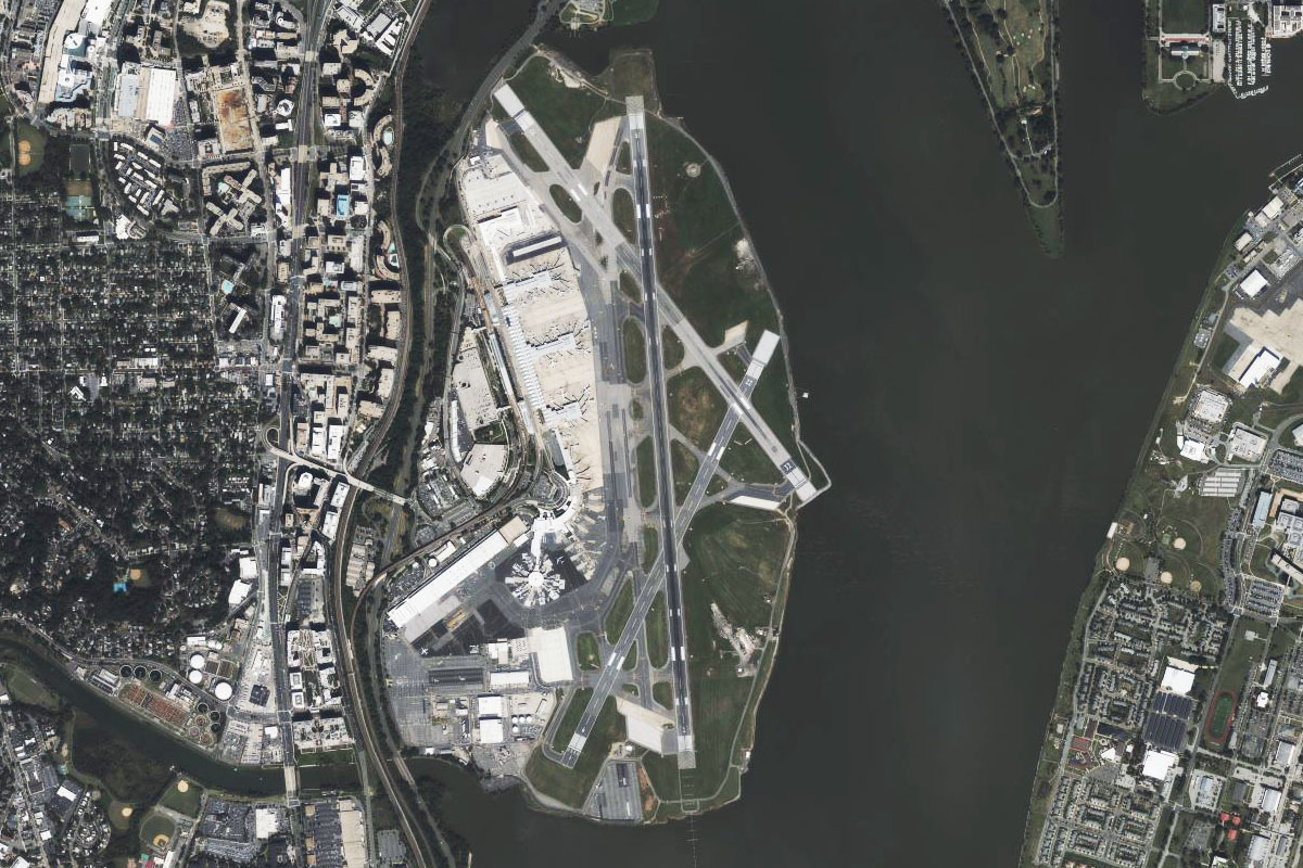
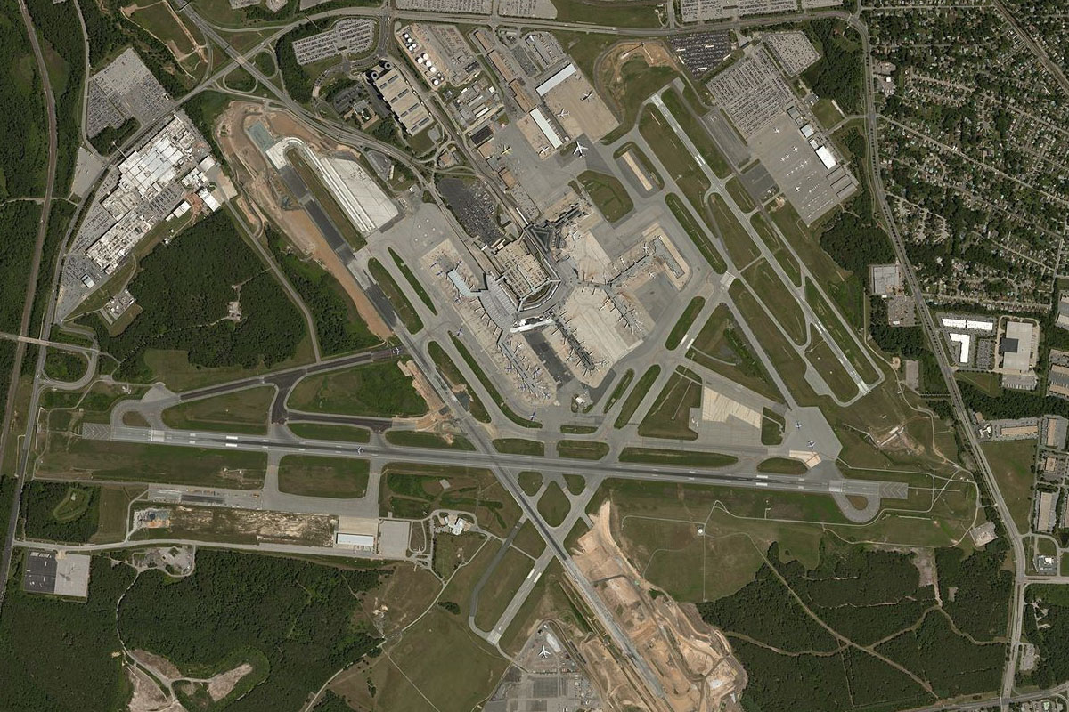
Lower Potomac River(POI35) to KDCA(KDCA)
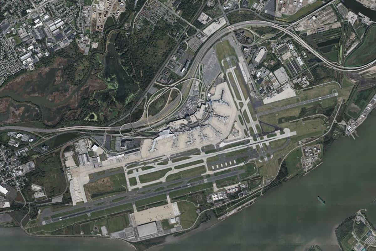
Distance: 8.46NM Bearing: 12° 4 minutes
Follow the river north until you reach Washington National Airport, named in honor of President Ronald Reagan
Leg 10
Flying from KDCA
Leg Distance: 38.67 Approximate time at 125kts: 19 minutes.
KDCA(KDCA) to Anacostia River(POI36)
Distance: 4.12NM Bearing: 67° 2 minutes
After takeoff, head east over the river and follow the Anacostia River northeast, passing the stadium of the Washington Nationals baseball team
Anacostia River(POI36) to The Mall(POI37)
Distance: 4.06NM Bearing: 280° 2 minutes
As the river turns north, head for the now disused RFK Stadium then fly west to the US Capitol Building and along the National Mall, home to national galleries and museums, the Washington Monument and the Lincoln Memorial at its western end
The Mall(POI37) to Arlington National Cemetery(POI38)
Distance: 1.49NM Bearing: 241° 1 minutes
When you reach the Potomac River, head southwest over Arlington National Cemetery, a sprawling military cemetery with over 400,000 graves. South of the cemetery is the Pentagon, home of the Department of Defense
Arlington National Cemetery(POI38) to Potomac River(POI39)
Distance: 1.85NM Bearing: 359° 1 minutes
After passing the cemetery, fly north to the Potomac River
Potomac River(POI39) to Cabin John(POI40)
Distance: 4.94NM Bearing: 331° 2 minutes
Follow the river northwest
Cabin John(POI40) to Potomac River(POI41)
Distance: 4.02NM Bearing: 290° 2 minutes
Follow the river west. The long building on the north side of the river is the David Taylor Model Basin, one of the largest ship design and test facilities on the world
Potomac River(POI41) to Potomac River(POI42)
Distance: 3.38NM Bearing: 359° 2 minutes
Keep following the river as it narrows and turns north
Potomac River(POI42) to Canal Dam 2(POI43)
Distance: 4.31NM Bearing: 307° 2 minutes
The river will turn back to the northwest
Canal Dam 2(POI43) to KJYO(KJYO)
Distance: 10.5NM Bearing: 285° 5 minutes
The river will turn back to the west at the former site of a dam. Follow the river west until it starts to turn northwest, then continue west to Leesburg Executive Airport

Leg 11
Flying from KJYO
Leg Distance: 44.77 Approximate time at 125kts: 21 minutes.
KJYO(KJYO) to Purcellville(POI44)
Distance: 7.56NM Bearing: 311° 4 minutes
After takeoff, fly northwest over the nearby hills to the large town of Purcellville
Purcellville(POI44) to Blue Ridge(POI45)
Distance: 5.61NM Bearing: 315° 3 minutes
Continue northwest to the tree covered mountain ridge
Blue Ridge(POI45) to Harper’s Ferry(POI46)
Distance: 8.33NM Bearing: 34° 4 minutes
Follow the ridge northeast to the Potomac River, which cuts a valley through the ridge at the town of Harpers Ferry, a historic town which marked the northernmost point of Confederate controlled territory in the US Civil War. It also houses the headquarters of the Appalachian Trail, a famous hiking trail over 2200 miles in length
Harper’s Ferry(POI46) to Antietam(POI47)
Distance: 9.62NM Bearing: 7° 5 minutes
From Harpers Ferry, fly north along the western side of the ridge with the Potomac River. On the flat land north of the river is Antietam National Battlefield, site of the Civil War battle of 1862 with nearly 5000 burial sites
Antietam(POI47) to Hagerstown(POI48)
Distance: 9.79NM Bearing: 15° 5 minutes
Continue north to the city of Hagerstown
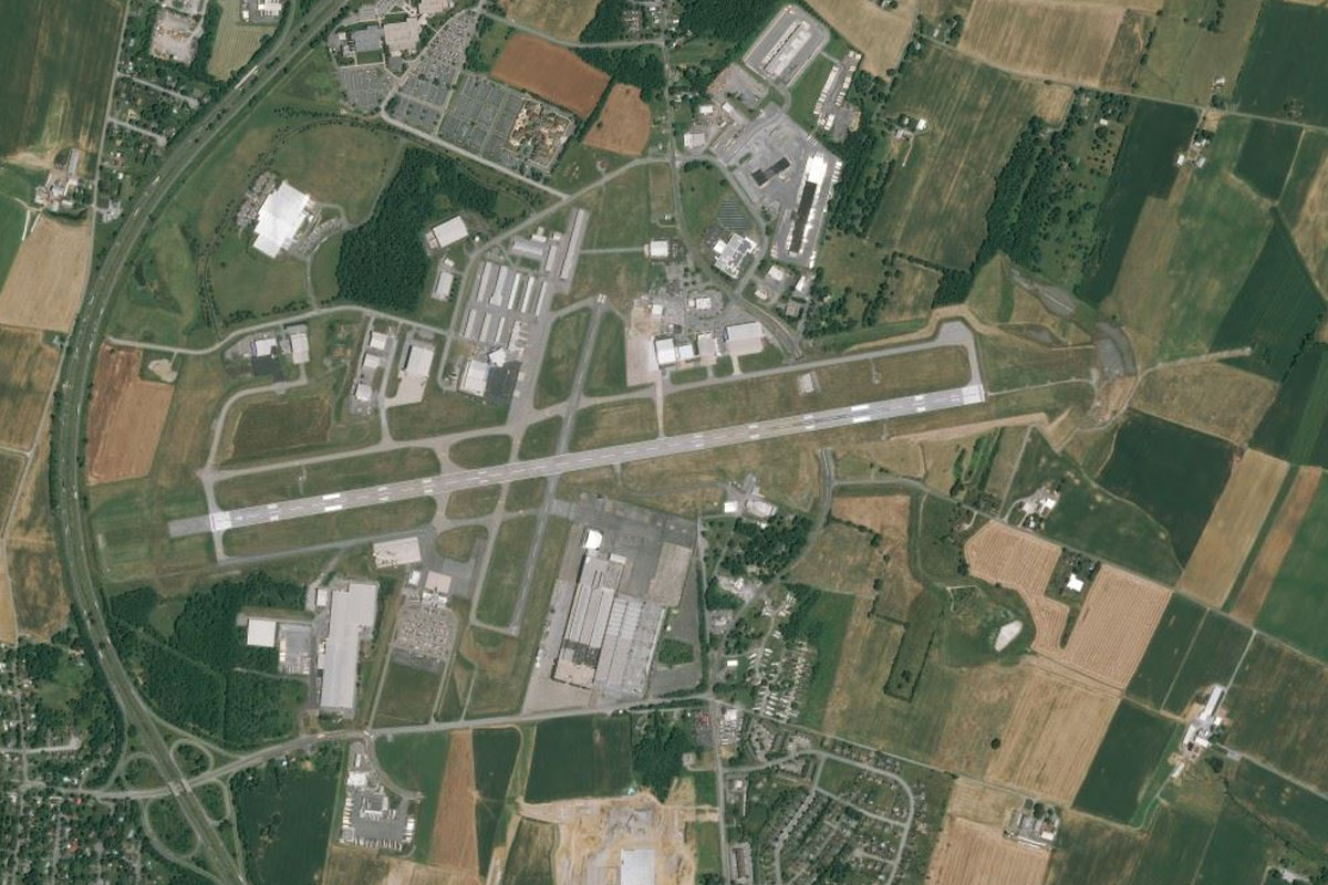
Hagerstown(POI48) to KHGR(KHGR)
Distance: 3.86NM Bearing: 7° 2 minutes
Hagerstown Airport is a few miles north of the city
Leg 12
Flying from KHGR
Leg Distance: 34.38 Approximate time at 125kts: 17 minutes.
KHGR(KHGR) to Blue Ridge Mountains(POI49)
Distance: 15.16NM Bearing: 91° 7 minutes
Fly east to the Blue Ridge Mountains, where you will meet State Highway 16 crossing from the town of Waynesboro to the flat plains east of the mountains
Blue Ridge Mountains(POI49) to Gettysburg(POI50)
Distance: 9.08NM Bearing: 69° 4 minutes
After you cross the mountains, fly northeast to the town of Gettysburg, site of one of the fiercest battles of the Civil War, with an estimated 50,000 casualties
Gettysburg(POI50) to Gettysburg National Military Park(POI51)
Distance: 3.1NM Bearing: 180° 1 minutes
Flying south from the town will take you over the Gettysburg Battlefield Historic District, home of the National Park and Military Cemetery
Gettysburg National Military Park(POI51) to Littlestown(POI52)
Distance: 5.27NM Bearing: 117° 3 minutes
When you reach the interstate highway at the southern edge of the battlefields, turn east to meet Highway 97 which runs southeast towards Littlestown
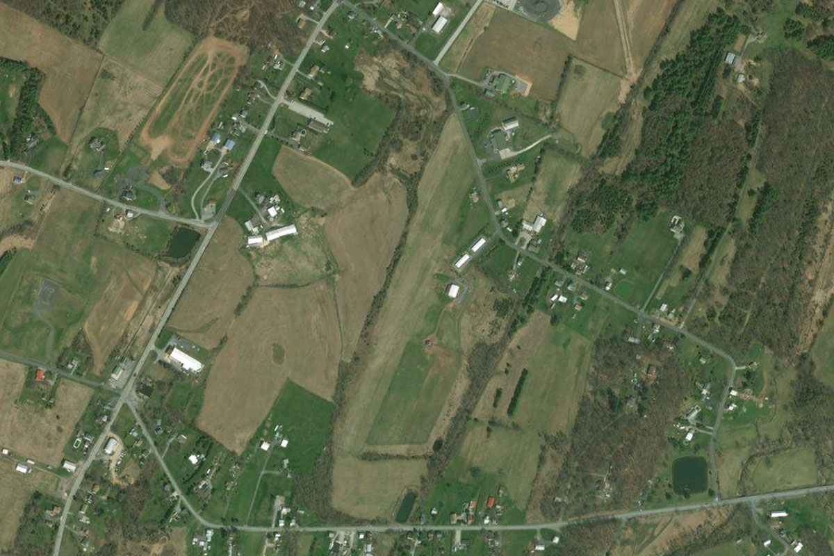
Littlestown(POI52) to PA23(PA23)
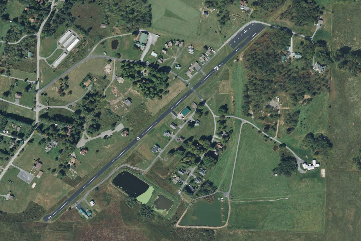
Distance: 1.77NM Bearing: 188° 1 minutes
As you approach the town, turn south and head for the grass airstrip a mile southwest of the town, on the eastern side of a minor highway
Leg 13
Flying from PA23
Leg Distance: 45.49 Approximate time at 125kts: 22 minutes.
PA23(PA23) to Taneytown Pike(POI53)
Distance: 6.7NM Bearing: 180° 3 minutes
After takeoff, fly south over the Maryland farmland until you reach the highway heading southeast
Taneytown Pike(POI53) to Westminster(POI54)
Distance: 4.85NM Bearing: 131° 2 minutes
Follow the highway southeast to the large town of Westminster
Westminster(POI54) to Reisterstown(POI55)
Distance: 9.54NM Bearing: 142° 5 minutes
Continue southeast with the highway where it will soon cross the northern tip of Liberty Reservoir before reaching Reisterstown
Reisterstown(POI55) to I-695(POI56)
Distance: 7.3NM Bearing: 156° 4 minutes
The highway will continue southeast on the way to its eastern end at the junction with Interstate Highway 695, which is a beltway around the city of Baltimore
I-695(POI56) to Baltimore(POI57)
Distance: 8.36NM Bearing: 141° 4 minutes
Fly southeast to the city of Baltimore, a major port city whose downtown harbor is home to the USS Constellation frigate launched in 1797
Baltimore(POI57) to Fort McHenry(POI58)
Distance: 2NM Bearing: 142° 1 minutes
Continue southeast along the harbor to Fort McHenry, where the harbor enters the Patapsco River. This fort is best known for successfully defending Baltimore from the British in the War of 1812, and is also where Francis Scott Key wrote what was to become the US national anthem – The Star Spangled Banner
Fort McHenry(POI58) to KBWI(KBWI)
Distance: 6.74NM Bearing: 230° 3 minutes
Once you pass the fort, turn southwest and head to Baltimore-Washington International Airport, which is the busiest in the National Capital Region
Leg 14
Flying from KBWI
Leg Distance: 36.88 Approximate time at 125kts: 18 minutes.
KBWI(KBWI) to Patapsco River(POI59)
Distance: 7.55NM Bearing: 95° 4 minutes
After takeoff, head east until you reach the Patapsco River
Patapsco River(POI59) to Chesapeake Bay(POI60)
Distance: 7.46NM Bearing: 140° 4 minutes
Fly southeast along the south shore of the river as it leads you out into Chesapeake Bay. At over 200 miles long, the bay is important to the economy of its surrounding states, particularly Virginia and Maryland
Chesapeake Bay(POI60) to Chesapeake Bay Bridge(POI61)
Distance: 7.54NM Bearing: 180° 4 minutes
Fly south along the bay to the twin spans of the Chesapeake Bay Bridge
Chesapeake Bay Bridge(POI61) to Kent Point(POI62)
Distance: 8.84NM Bearing: 199° 4 minutes
From the bridge fly south along the western shore of Kent Island, the largest island in Chesapeake Bay
Kent Point(POI62) to MD64(MD64)
Distance: 5.49NM Bearing: 128° 3 minutes
After passing Kent Point at the southern tip of the island, turn southeast and fly across Eastern Bay to Stewart Airport. The grass airstrip is 2 miles from the shore of the bay, next to one of the many coves of Harris Creek
Leg 15
Flying from MD64
Leg Distance: 41.63 Approximate time at 125kts: 20 minutes.
MD64(MD64) to Choptank River(POI63)
Distance: 6.46NM Bearing: 180° 3 minutes
After takeoff, fly south over the coves and creeks until you reach the wider waters of the Choptank River
Choptank River(POI63) to Cambridge(POI64)
Distance: 11.04NM Bearing: 139° 5 minutes
Follow the river southeast to where it meets the bridge crossing the river north from Cambridge
Cambridge(POI64) to Vienna(POI65)
Distance: 12.8NM Bearing: 126° 6 minutes
From Cambridge, follow the highway running east from the town, which will then turn and run southeast across the farmland of the Delmarva Peninsula
Vienna(POI65) to Nanticoke River(POI66)
Distance: 5.3NM Bearing: 65° 3 minutes
When you reach the Nanticoke River at the town of Vienna, follow the river northeast to Sharptown, on the eastern bank
Nanticoke River(POI66) to N06(N06)
Distance: 6.03NM Bearing: 101° 3 minutes
From Sharptown, head east into the state of Delaware, and to Laurel Airport which is a mile southwest from the town of Laurel
Leg 16
Flying from N06
Leg Distance: 43.67 Approximate time at 125kts: 21 minutes.
N06(N06) to Georgetown(POI67)
Distance: 13.13NM Bearing: 59° 6 minutes
From the nearby town of Laurel, fly northeast with the highway to Georgetown
Georgetown(POI67) to Lewes(POI68)
Distance: 15.32NM Bearing: 76° 7 minutes
Keep following the highway northeast from Georgetown to the town of Lewes, which sits near the southern mouth of Delaware Bay at Cape Henlopen
Lewes(POI68) to Cape May(POI69)
Distance: 10.01NM Bearing: 49° 5 minutes
Fly northeast across the mouth of Delaware Bay to the southern tip of Cape May, which lies in the state of New Jersey. Cape May is one of the country's oldest vacation resort destinations, and the city is a national historic landmark
Cape May(POI69) to KWWD(KWWD)
Distance: 5.21NM Bearing: 40° 3 minutes
Fly northeast along the center of the peninsula to Cape May County Airport, which lies halfway between the main highway and the peninsula's west coast
Leg 17
Flying from KWWD
Leg Distance: 43.34 Approximate time at 125kts: 21 minutes.
KWWD(KWWD) to Hereford Inlet(POI70)
Distance: 5.92NM Bearing: 90° 3 minutes
After takeoff, head east to the coast
Hereford Inlet(POI70) to Ocean City(POI71)
Distance: 19.24NM Bearing: 47° 9 minutes
Follow the coast and endless beaches northeast to Ocean City, which covers an entire peninsula
Ocean City(POI71) to Atlantic City(POI72)
Distance: 8.16NM Bearing: 69° 4 minutes
Keep following the coast as it curves around to the east and heads past Atlantic City, a coastal resort city known for its beaches, boardwalk and casinos
Atlantic City(POI72) to Absecon Wildlife Management Area(POI73)
Distance: 1.84NM Bearing: 336° 1 minutes
Once you pass the city, turn left into the inlet and fly northwest over the bridge to the marshland which is popular for bird watching
Absecon Wildlife Management Area(POI73) to KACY(KACY)
Distance: 8.18NM Bearing: 312° 4 minutes
From the marshland, fly northwest to Atlantic City International Airport
Leg 18
Flying from KACY
Leg Distance: 43.45 Approximate time at 125kts: 21 minutes.
KACY(KACY) to ACE(POI74)
Distance: 2.67NM Bearing: 299° 1 minutes
Fly west from the airport to meet the Atlantic City Expressway heading northwest
ACE(POI74) to ACE(POI75)
Distance: 26.37NM Bearing: 325° 13 minutes
Follow the Atlantic City Expressway northwest towards the city of Philadelphia
ACE(POI75) to Walt Whitman Bridge(POI76)
Distance: 8.93NM Bearing: 347° 4 minutes
Stay with the expressway as it turns north towards the city. When you reach the Walt Whitman Bridge crossing of the Delaware River, turn to the west and cross into Pennsylvania
Walt Whitman Bridge(POI76) to KPHL(KPHL)
Distance: 5.48NM Bearing: 260° 3 minutes
Heading west over the docks and rail yards will lead you to Philadelphia International Airport on the northern bank of the Delaware River
Leg 19
Flying from KPHL
Leg Distance: 44.76 Approximate time at 125kts: 21 minutes.
KPHL(KPHL) to Philadelphia(POI77)
Distance: 5.43NM Bearing: 40° 3 minutes
After takeoff, head northeast towards the University of Pennsylvania, which is west of the downtown area on the Schuylkill River
Philadelphia(POI77) to Philadelphia(POI78)
Distance: 2.34NM Bearing: 95° 1 minutes
Fly east over the downtown area to the Delaware River. Philadelphia is the sixth largest city in the United States and one of the most historic. It was a meeting place for the Founding Fathers and is where both the Declaration of Independence and Constitution were signed
Philadelphia(POI78) to Burlington Island(POI79)
Distance: 15.52NM Bearing: 70° 7 minutes
Follow the river east to the forested island
Burlington Island(POI79) to Trenton(POI80)
Distance: 8.3NM Bearing: 39° 4 minutes
Stay with the river as it turns northeast, then continue northeast over Van Sciver Lake to the city of Trenton, in New Jersey
Trenton(POI80) to Princeton(POI81)
Distance: 8.89NM Bearing: 51° 4 minutes
From Trenton head northeast, following the straight line of US Highway 1 which runs parallel to and north of the railway
Princeton(POI81) to 39N(39N)
Distance: 4.28NM Bearing: 1° 2 minutes
When you see the long serpentine-like Carnegie Lake north of the highway, turn north over the famed Princeton University to the airport which is north of the wooded area on the university's north side
Leg 20
Flying from 39N
Leg Distance: 47.13 Approximate time at 125kts: 23 minutes.
39N(39N) to Raritan River(POI82)
Distance: 19.1NM Bearing: 87° 9 minutes
After takeoff, head east until you reach Lower New York Bay near the mouth of the Raritan River
Raritan River(POI82) to Staten Island(POI83)
Distance: 11.95NM Bearing: 66° 6 minutes
Fly northeast along the shore of Staten Island, one of the five boroughs of New York City, until you reach the Verrazano-Narrows Bridge – opened in 1964 and named after the first documented European explorer to enter New York Harbor
Staten Island(POI83) to Liberty Island(POI84)
Distance: 5.11NM Bearing: 13° 2 minutes
From the bridge, fly north along Upper New York Bay. Stay low for a close up look at the Statue of Liberty, which sits on Liberty Island on the western side of the bay. The statue was a gift from France in 1886 and is an internationally recognized icon of freedom and of the United States. Just north of Liberty Island is Ellis Island, which was the entry point of over 12 million immigrants between 1892 and 1954
Liberty Island(POI84) to Hudson River(POI85)
Distance: 5.91NM Bearing: 33° 3 minutes
Follow the Hudson River north, which will take you past Jersey City to the west and the megacity of New York to the east. New York is the most populous city in the United States and is described as the financial and media capital of the world, and is also home to the headquarters of the United Nations
Hudson River(POI85) to KTEB(KTEB)
Distance: 5.06NM Bearing: 340° 2 minutes
When you see the skyscrapers of Uptown New York give away to the green oasis of Central Park, turn and head northwest to Teterboro Airport a few miles west of the river in New Jersey
Leg 21
Flying from KTEB
Leg Distance: 22.8 Approximate time at 125kts: 11 minutes.
KTEB(KTEB) to George Washington Bridge(POI86)
Distance: 4.87NM Bearing: 101° 2 minutes
After takeoff, head east to the George Washington Bridge crossing of the Hudson River. This bridge is the world's busiest motor vehicle bridge
George Washington Bridge(POI86) to Harlem(POI87)
Distance: 3.15NM Bearing: 192° 2 minutes
Turn south from the bridge head south towards the northern end of Central Park. On the way you should see Yankee Stadium to your left as you fly over the important cultural area of Harlem, just north of the park
Harlem(POI87) to Empire State Building(POI88)
Distance: 3.4NM Bearing: 223° 2 minutes
Head southwest along the center of Central Park, then continue southwest over Uptown Manhattan to the iconic Empire State Building. Opened in 1931, it was the world's tallest building until 1970
Empire State Building(POI88) to Downtown(POI89)
Distance: 3.18NM Bearing: 210° 2 minutes
Continue southwest to the high rise Downtown area, which is the financial center of the city and home of One World Trade Center, the tallest building in the United States which is the main building of the rebuilt World Trade Center complex after its destruction on September 11, 2001
Downtown(POI89) to Brooklyn(POI90)
Distance: 1.32NM Bearing: 106° 1 minutes
When you pass the downtown area, turn east across the East River to downtown Brooklyn, with a view of the Brooklyn and Manhattan Bridges to the north
Brooklyn(POI90) to KLGA(KLGA)
Distance: 6.88NM Bearing: 59° 3 minutes
From Brooklyn, fly northeast to LaGuardia Airport, New York's third busiest after JFK and Newark Airports
Leg 22
Flying from KLGA
Leg Distance: 50.78 Approximate time at 125kts: 24 minutes.
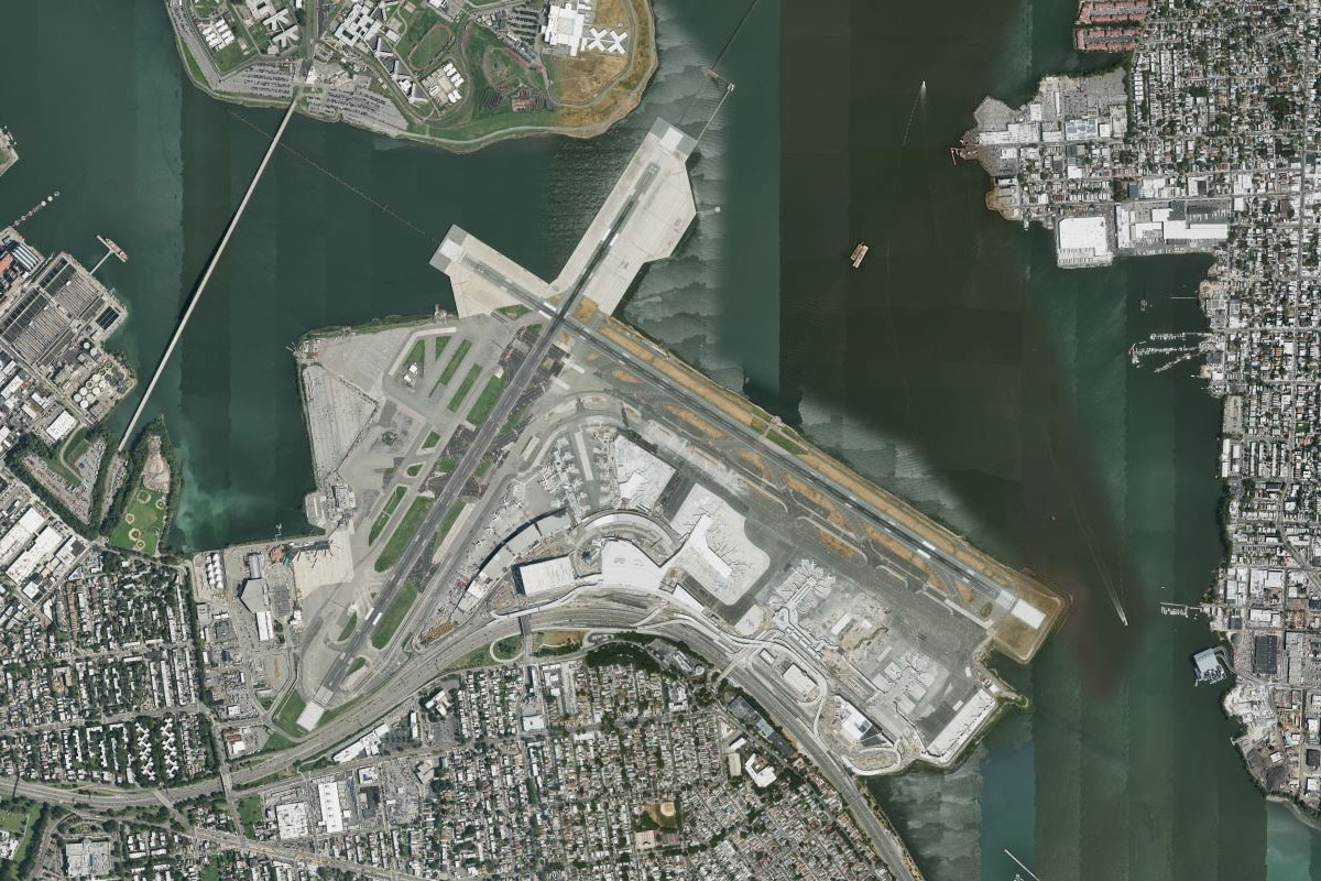
KLGA(KLGA) to Rockaway Beach(POI91)
Distance: 11.96NM Bearing: 179° 6 minutes
After takeoff, head south over the borough of Queens, then past JFK airport on the eastern edge of Jamaica Bay, to Rockaway Beach on the south shore of Long Island
Rockaway Beach(POI91) to Jones Inlet(POI92)
Distance: 11.01NM Bearing: 104° 5 minutes
Fly east along the coast. JFK Airport to the north is the busiest serving New York City, and the sixth busiest in the country
Jones Inlet(POI92) to Democrat Point(POI93)
Distance: 12.26NM Bearing: 88° 6 minutes
Continue east along the beaches to the large inlet on the north side of Democrat Point
Democrat Point(POI93) to Great South Bay(POI94)
Distance: 5.86NM Bearing: 50° 3 minutes
From the inlet, head northeast over Great South Bay, crossing over the 2 mile long bridge and causeway
Great South Bay(POI94) to Browns River(POI95)
Distance: 7.49NM Bearing: 96° 4 minutes
When you reach the north shore of the bay, follow it east over Heckscher State Park until you reach the mouth of the Browns River and its twin breakwaters a few miles east of the park
Browns River(POI95) to 23N(23N)
Distance: 2.2NM Bearing: 33° 1 minutes
Turn north after passing the river mouth and head to the grass airstrip of Bayport 2 miles north of the shore
Leg 23
Flying from 23N
Leg Distance: 40.72 Approximate time at 125kts: 20 minutes.
23N(23N) to Nicolls Road(POI96)
Distance: 7.59NM Bearing: 4° 4 minutes
Fly north from Bayport Aerodrome, following the major road north
Nicolls Road(POI96) to Port Jefferson Harbor(POI97)
Distance: 5.23NM Bearing: 5° 3 minutes
When the road turns away to the west, continue north towards the entrance of Port Jefferson Harbor
Port Jefferson Harbor(POI97) to Bridgeport(POI98)
Distance: 11.43NM Bearing: 1° 5 minutes
Fly north across Long Island Sound towards the city of Bridgeport, the most populous city in the state of Connecticut. East of the city is Igor Sikorsky Airport, named for the helicopter manufacturer and long time tenant of the site
Bridgeport(POI98) to New Haven(POI99)
Distance: 13.25NM Bearing: 60° 6 minutes
As you pass the airport, turn northeast to follow Interstate Highway 95 as it runs parallel to the coast towards the city of New Haven, which is home to one of the world's most prestigious universities, Yale
New Haven(POI99) to KHVN(KHVN)
Distance: 3.22NM Bearing: 155° 2 minutes
From the city, head southeast to Tweed-Hew Haven Airport on the eastern side of the bay
Leg 24
Flying from KHVN
Leg Distance: 46.52 Approximate time at 125kts: 22 minutes.
KHVN(KHVN) to Thimble Islands(POIA0)
Distance: 6.23NM Bearing: 110° 3 minutes
After takeoff, head east along the coast to the Thimble Islands, a group of small rocky islands a mile from the mainland, many of them inhabited with expensive homes
Thimble Islands(POIA0) to Meigs Point(POIA1)
Distance: 9.35NM Bearing: 102° 4 minutes
Continue east over Sachem Head peninsula, then cut across the bay to Meigs Point, which is a nature reserve
Meigs Point(POIA1) to North Fork(POIA2)
Distance: 10.88NM Bearing: 142° 5 minutes
Fly southeast across Long Island Sound to the North Fork Peninsula, one of two long peninsulas that make up the eastern most part of Long Island
North Fork(POIA2) to Gardiners Island(POIA3)
Distance: 11.67NM Bearing: 117° 6 minutes
Head southeast to Gardiners Island, which lies between the two peninsulas at the eastern end of Long Island
Gardiners Island(POIA3) to KMTP(KMTP)
Distance: 8.39NM Bearing: 110° 4 minutes
Continue east to the southern peninsula, South Fork, and Montauk Airport which is two miles west of the eastern tip of the peninsula
Leg 25
Flying from KMTP
Leg Distance: 43.29 Approximate time at 125kts: 21 minutes.
KMTP(KMTP) to Block Island(POIA4)
Distance: 16.27NM Bearing: 83° 8 minutes
Fly east to Block Island, which is part of the state of Rhode Island
Block Island(POIA4) to Point Judith(POIA5)
Distance: 12.55NM Bearing: 34° 6 minutes
Fly northeast across Block Island Sound to Point Judith on the mainland
Point Judith(POIA5) to Lands End(POIA6)
Distance: 9.62NM Bearing: 71° 5 minutes
Fly northeast across the mouth on Narragansett Bay to Lands End, which lies a few miles south of Newport
Lands End(POIA6) to KUUU(KUUU)
Distance: 4.85NM Bearing: 27° 2 minutes
Follow the east coast of the peninsula north towards Easton Beach, then Newport Airport further north. The large mansions that line the coast are part of the Bellevue Avenue Historic District and contain properties once owned by the Vanderbilt and Astor families. The city of Newport also has a rich sailing history and held America's Cup races for over 50 years
Leg 26
Flying from KUUU
Leg Distance: 59.64 Approximate time at 125kts: 29 minutes.
KUUU(KUUU) to Gooseberry Island(POIA7)
Distance: 11.3NM Bearing: 118° 5 minutes
After takeoff, head southeast over the Sakonnet River then along the coast into Massachusetts to the small Gooseberry Island, which is joined to the mainland by a road causeway
Gooseberry Island(POIA7) to Cuttyhunk Island(POIA8)
Distance: 6.05NM Bearing: 145° 3 minutes
Head southeast to Cuttyhunk Island, the westernmost of the Elizabeth Islands
Cuttyhunk Island(POIA8) to Martha’s Vineyard(POIA9)
Distance: 12.27NM Bearing: 95° 6 minutes
Fly east to Martha's Vineyard, which is the third largest island on the east coast of the United States, and is a popular summer destination
Martha’s Vineyard(POIA9) to Chappaquiddick(POIAA)
Distance: 11.26NM Bearing: 136° 5 minutes
Head to the southeast tip of the island, Chappaquiddick
Chappaquiddick(POIAA) to Nantucket(POIAB)
Distance: 12.59NM Bearing: 123° 6 minutes
Continue southeast over Tuckernuck Island to the larger island of Nantucket, which like Martha's Vineyard, is another popular summer tourist destination
Nantucket(POIAB) to KACK(KACK)
Distance: 6.17NM Bearing: 121° 3 minutes
Nantucket Airport is halfway along the southern coast of the island
Leg 27
Flying from KACK
Leg Distance: 55.63 Approximate time at 125kts: 27 minutes.
KACK(KACK) to Great Point(POIAC)
Distance: 8.3NM Bearing: 17° 4 minutes
After takeoff, fly to Great Point at the northern tip of the island
Great Point(POIAC) to Monomoy Island(POIAD)
Distance: 9.48NM Bearing: 27° 5 minutes
Continue northeast over the mouth of Nantucket Sound to Monomoy Point
Monomoy Island(POIAD) to Chatham(POIAE)
Distance: 8.53NM Bearing: 33° 4 minutes
Continue northeast along the 8 mile long sand spit of Monomoy Island, then to North Beach Island which acts as a barrier for the city of Chatham against the raging Atlantic Ocean
Chatham(POIAE) to Cape Cod(POIAF)
Distance: 22.12NM Bearing: 360° 11 minutes
Fly north along Cape Cod, a long thin peninsula which contains the Cape Cod National Seashore, another popular summer tourist destination
Cape Cod(POIAF) to KPVC(KPVC)
Distance: 7.2NM Bearing: 302° 3 minutes
As the cape curls around to the west, head to Provincetown Airport on the northern tip
Leg 28
Flying from KPVC
Leg Distance: 37.6 Approximate time at 125kts: 18 minutes.
KPVC(KPVC) to Plymouth(POIAG)
Distance: 21.07NM Bearing: 268° 10 minutes
Fly west across Cape Cod Bay into Plymouth Bay and the town of Plymouth. The town is one of the most historic in the USA, and was founded in 1620 by English settlers known as the Pilgrims aboard the ship Mayflower, a replica of which now sits in Plymouth harbor
Plymouth(POIAG) to US-44(POIAH)
Distance: 3.49NM Bearing: 273° 2 minutes
Continue west to meet US Highway 44 also heading west
US-44(POIAH) to Middleborough(POIAI)
Distance: 10.04NM Bearing: 264° 5 minutes
Follow the highway on its long sweeping arc west until its junction with Interstate Highway 495 west of the town of Middleborough
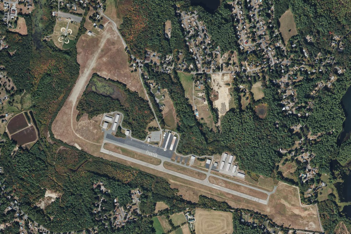
Middleborough(POIAI) to KTAN(KTAN)
Distance: 3NM Bearing: 249° 1 minutes
From the junction, head to Taunton Airport a few miles southwest
Leg 29
Flying from KTAN
Leg Distance: 51.91 Approximate time at 125kts: 25 minutes.
KTAN(KTAN) to Taunton River(POIAJ)
Distance: 7.55NM Bearing: 230° 4 minutes
After takeoff, fly southwest to the Taunton River
Taunton River(POIAJ) to Fall River(POIAK)
Distance: 4.85NM Bearing: 226° 2 minutes
Follow the river southwest to Fall River, the tenth largest city in the state. It is home to Battleship Cove, the world's largest collection of World War II naval vessels
Fall River(POIAK) to Bristol(POIAL)
Distance: 5.61NM Bearing: 271° 3 minutes
After passing the city, fly west over Mt Hope Bay to the town of Bristol, which is on a large peninsula in Rhode Island
Bristol(POIAL) to Providence(POIAM)
Distance: 9.24NM Bearing: 346° 4 minutes
Once you reach the western edge of the peninsula, head north and follow the Providence River to the city of Providence, the state capital and one of the oldest cities in the USA
Providence(POIAM) to Pawtucket(POIAN)
Distance: 3.34NM Bearing: 23° 2 minutes
Fly north to where the river narrows at the nearby city of Pawtucket
Pawtucket(POIAN) to US-1(POIAO)
Distance: 12.36NM Bearing: 33° 6 minutes
From Pawtucket, follow the straight line of US Highway 1 northeast
US-1(POIAO) to KOWD(KOWD)
Distance: 8.96NM Bearing: 50° 4 minutes
The highway will make a slight turn to the east before passing the home stadium of the New England Patriots football team. It will then run northeast alongside Interstate Highway 95 and lead you to Norwood Airport
Leg 30
Flying from KOWD
Leg Distance: 26.87 Approximate time at 125kts: 13 minutes.
KOWD(KOWD) to Neponset River(POIAP)
Distance: 8.88NM Bearing: 55° 4 minutes
After takeoff, fly northeast to the mouth of the Neponset River – easily located by the large rainbow painted gas storage take known as the Rainbow Swash. It is the largest copyrighted work of art in the world
Neponset River(POIAP) to Boston(POIAQ)
Distance: 3.63NM Bearing: 11° 2 minutes
From the tank, fly north over the University of Massachusetts campus to the city of Boston, capital and largest city in the state. This historical city was founded in 1630
Boston(POIAQ) to Charles River(POIAR)
Distance: 3.15NM Bearing: 275° 2 minutes
Fly a left circuit around the city to follow the Charles River west. Just west of downtown is the oldest city park in the country, Boston Common. Further west, on the south side of the river is Fenway Park, famous home to the Boston Red Sox baseball team
Charles River(POIAR) to Spy Pond(POIAS)
Distance: 3.64NM Bearing: 347° 2 minutes
The river will turn north and point you towards two large ponds, Fresh Pond and Spy Pond to its north
Spy Pond(POIAS) to Mystic River(POIAT)
Distance: 2.01NM Bearing: 90° 1 minutes
From the pond, fly east a short distance to meet the Mystic River and Interstate Highway 93 heading southeast towards downtown Boston
Mystic River(POIAT) to KBOS(KBOS)
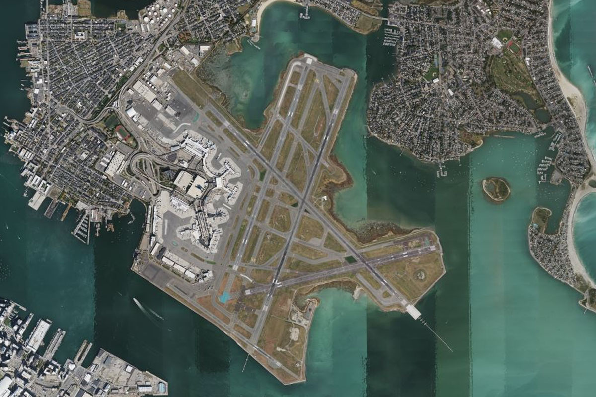
Distance: 5.56NM Bearing: 139° 3 minutes
Follow the river southeast to Logan International Airport, the busiest in the northeast of the US outside of the New York area, and the destination for this stage