Welcome to stage 50 of the world tour! This is the last stage in North America before the arduous Atlantic crossing to Europe. Starting in Cartwright, you’ll make your way northwest along the Labrador coast before cutting west across the Labrador Peninsula and across the southern end of the 100 mile wide Ungava Bay. You’ll then head north to cross Hudson Strait to Baffin Island, the fifth largest island in the world. Making your way northeast to the eastern edge of this spectacular island, the tundra landscape will gain intensity as you head north to the Baffin Mountains and the Arctic Circle, where glaciers, fiords and the incredible peaks of Mount Odin and Mount Thor will be highlight on the way to Davis Strait, and the 200 mile crossing to Greenland
Total Legs: 20 Total Distance: 1300 Total Time(125kts): 10 hours 24 minutes
Leg 1
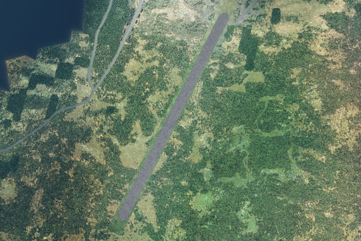
Flying from CYCA
Leg Distance: 60.35 Approximate time at 125kts: 29 minutes.
CYCA(CYCA) to Sandwich Bay(POI1)
Distance: 4.35NM Bearing: 339° 2 minutes
After takeoff, fly northwest over the two islands at the mouth of Sandwich Bay
Sandwich Bay(POI1) to North River(POI2)
Distance: 7.7NM Bearing: 330° 4 minutes
When you reach the other side of the bay, continue northwest over some scattered hills until you reach the North River
North River(POI2) to North River(POI3)
Distance: 15.4NM Bearing: 309° 7 minutes
Follow the river northwest
North River(POI3) to Gnat Mountain(POI4)
Distance: 20.56NM Bearing: 334° 10 minutes
When the river turns away to the southwest, continue northwest towards the tall mountain peak in the distance, which is on a peninsula to the north of a long inlet named The Backway
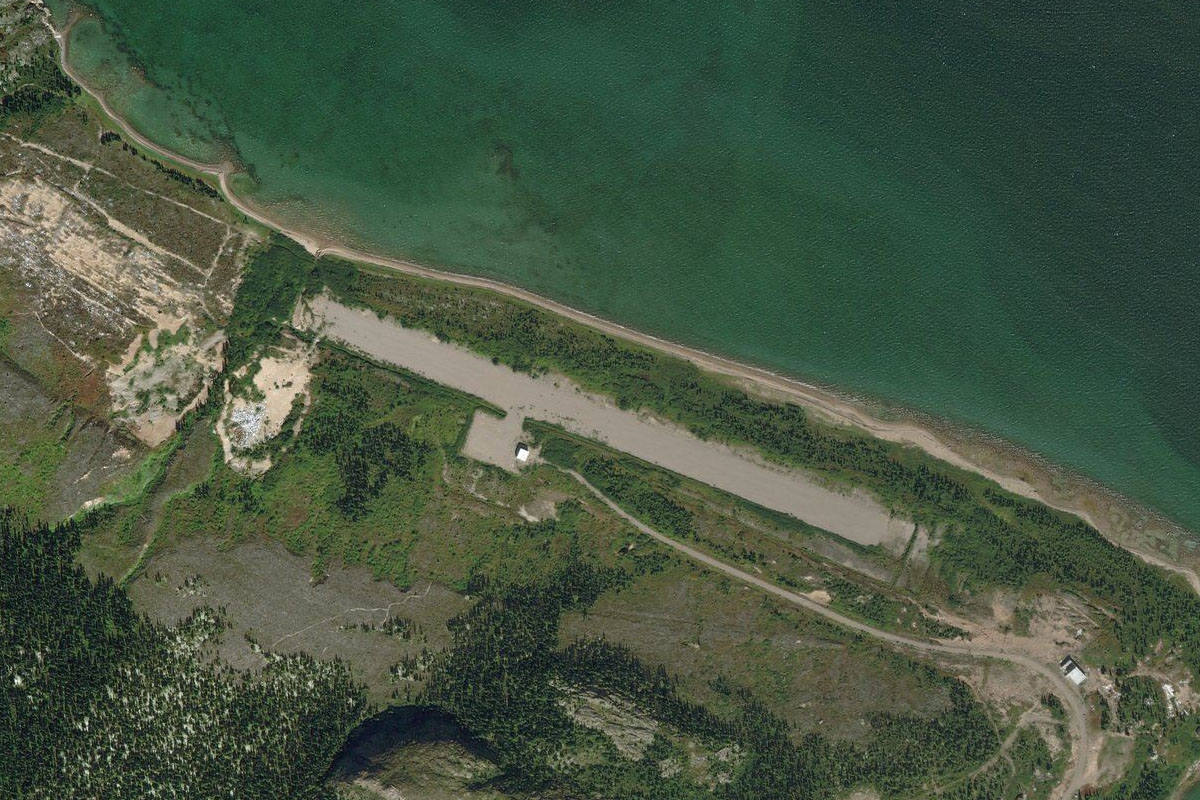
Gnat Mountain(POI4) to CCZ2(CCZ2)
Distance: 12.34NM Bearing: 298° 6 minutes
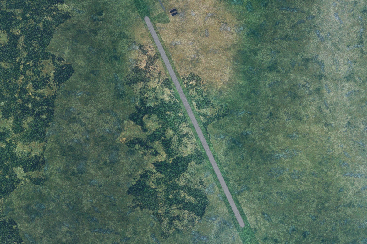
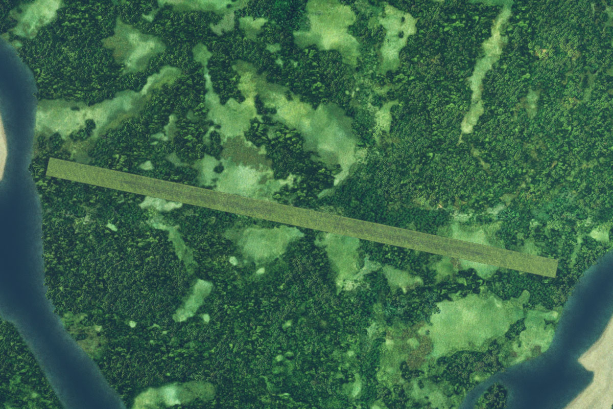
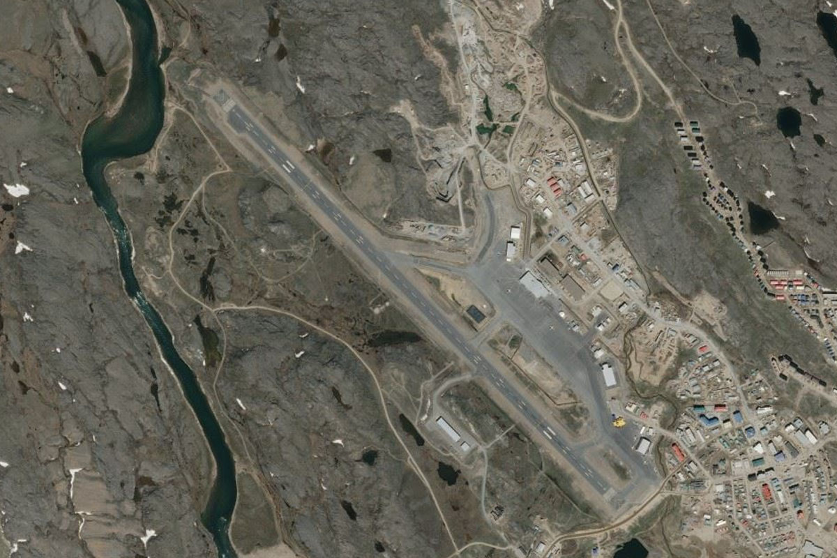
As you near the mountain, head west along the peninsula, then cross the narrow strait to the small town of Rigolet. The airport is on the western side of the town
Leg 2
Flying from CCZ2
Leg Distance: 73.12 Approximate time at 125kts: 35 minutes.
CCZ2(CCZ2) to Tom Luscombe Pond(POI5)
Distance: 15.58NM Bearing: 11° 7 minutes
After takeoff, head north across the channel, then continue north until you reach a large lake
Tom Luscombe Pond(POI5) to Lake Michael(POI6)
Distance: 9.57NM Bearing: 21° 5 minutes
Keep heading north towards the distant mountains to another large lake
Lake Michael(POI6) to Big River(POI7)
Distance: 25.31NM Bearing: 314° 12 minutes
Head northwest from the lake across the coastal tundra landscape, where you will cross several river valleys running north into the bay
Big River(POI7) to Kaipokok Bay(POI8)
Distance: 20.77NM Bearing: 315° 10 minutes
Continue northwest until you reach Kaipokok Bay. Across the bay from a lone mountain (Post Hill) is the small town of Postville
Kaipokok Bay(POI8) to CCD4(CCD4)
Distance: 1.89NM Bearing: 290° 1 minutes
Head west to the airport on the western edge of the town
Leg 3
Flying from CCD4
Leg Distance: 36.98 Approximate time at 125kts: 18 minutes.
CCD4(CCD4) to Bay of Islands(POI9)
Distance: 14.82NM Bearing: 359° 7 minutes
After takeoff, fly north to reach the western end of the Bay of Islands
Bay of Islands(POI9) to Anniowaktook Island(POI10)
Distance: 19.33NM Bearing: 359° 9 minutes
Continue north as the bays open out and you are flying over more open water dotted with islands. You should be heading for the almost circular Anniowaktook Island
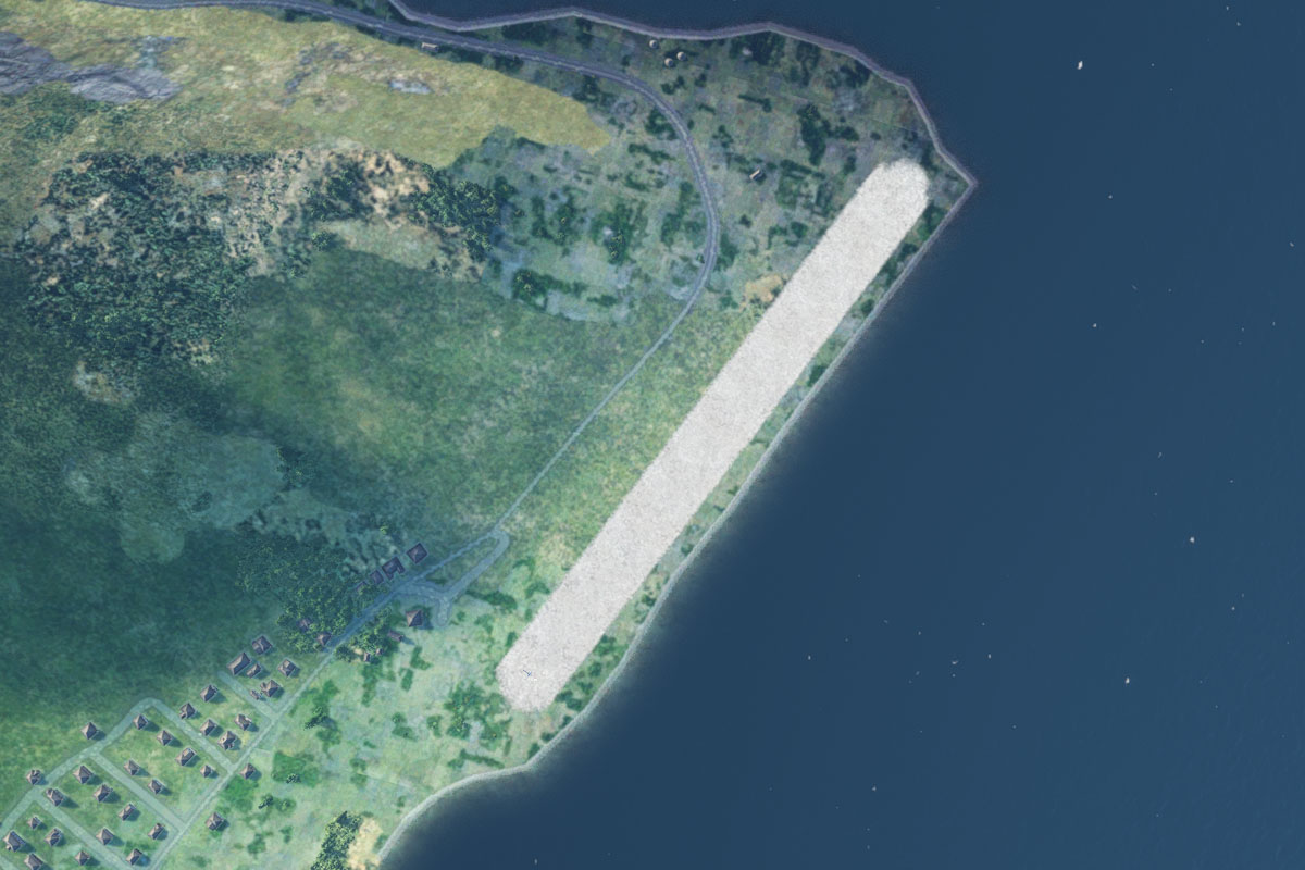
Anniowaktook Island(POI10) to CYHO(CYHO)
Distance: 2.83NM Bearing: 301° 1 minutes
Just west of Anniowaktook Island is the small town of Hopedale, with the airport just south of the town
Leg 4
Flying from CYHO
Leg Distance: 36.08 Approximate time at 125kts: 17 minutes.
CYHO(CYHO) to Big Bay(POI11)
Distance: 17.29NM Bearing: 349° 8 minutes
Fly north until you reach the centre of a large peninsula which protrudes northeast into the sea
Big Bay(POI11) to Davis Inlet(POI12)
Distance: 14.17NM Bearing: 334° 7 minutes
Fly northwest over a couple of large bays to the more narrow Davis Inlet, on the south side of Ukasiksalik Island
Davis Inlet(POI12) to CCB4(CCB4)
Distance: 4.62NM Bearing: 323° 2 minutes
Heading for the narrow bay on the western side of the island will line you up for Davis Inlet Airport just across the channel
Leg 5
Flying from CCB4
Leg Distance: 49.78 Approximate time at 125kts: 24 minutes.
CCB4(CCB4) to Kidlektaluk Island(POI13)
Distance: 28.46NM Bearing: 334° 14 minutes
After takeoff, fly northwest over an endless landscape of islands and bays until you reach Kidlektaluk Island, a small island dominated by a 600 foot mountain ridge
Kidlektaluk Island(POI13) to Kauk Bay(POI14)
Distance: 17.37NM Bearing: 359° 8 minutes
Fly north over some small islands, then a large island to reach the south side of a long peninsula, a few miles south of the town of Nain
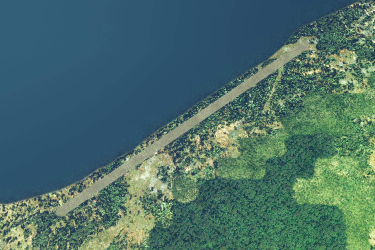
Kauk Bay(POI14) to CYDP(CYDP)
Distance: 3.95NM Bearing: 44° 2 minutes
Head northeast to the airstrip running next to the shore on the north side of the town
Leg 6
Flying from CYDP
Leg Distance: 41.45 Approximate time at 125kts: 20 minutes.
CYDP(CYDP) to Port Manvers Run(POI15)
Distance: 14.16NM Bearing: 23° 7 minutes
After takeoff, fly north to the entrance of Manvers Run, a narrow channel leading northeast through the mountains
Port Manvers Run(POI15) to Port Manvers(POI16)
Distance: 11.29NM Bearing: 44° 5 minutes
Follow the channel northeast where it will widen into Port Manvers
Port Manvers(POI16) to Village Bay(POI17)
Distance: 6.51NM Bearing: 90° 3 minutes
Follow the bay east, passing Mount Thoresby to the south and the Kiglapait Mountains to the north
Village Bay(POI17) to Cape Kiglapait(POI18)
Distance: 6.3NM Bearing: 14° 3 minutes
Follow the coast around to the north
Cape Kiglapait(POI18) to CC1K(CC1K)
Distance: 3.19NM Bearing: 334° 2 minutes
As you follow the coast around to the northwest, look for the landing area on the higher ground at the base of the Kiglapait Mountains, a few miles northwest from a small beach

Leg 7
Flying from CC1K
Leg Distance: 81.31 Approximate time at 125kts: 39 minutes.
CC1K(CC1K) to Kikiktaksoak Island(POI19)
Distance: 8.06NM Bearing: 6° 4 minutes
After takeoff, fly north over the nearby islands
Kikiktaksoak Island(POI19) to Iglusuaktalialuk Island(POI20)
Distance: 8.36NM Bearing: 325° 4 minutes
From the second island, head northwest over a larger island nearby
Iglusuaktalialuk Island(POI20) to Ivjogiktok Island(POI21)
Distance: 12.87NM Bearing: 328° 6 minutes
Continue northwest along a narrow channel to a small island at the entrance to Okak Bay
Ivjogiktok Island(POI21) to Ikkerasak Strait(POI22)
Distance: 23.76NM Bearing: 34° 11 minutes
Fly northeast over the beautiful landscape of Okak and Mugford Bays before passing through the narrow strait between the mountains to reach the coast
Ikkerasak Strait(POI22) to Finger Hill Island(POI23)
Distance: 14.49NM Bearing: 329° 7 minutes
Follow the coastal mountains northwest to the mountainous Finger Hill Island
Finger Hill Island(POI23) to Napaktok Bay(POI24)
Distance: 10.85NM Bearing: 282° 5 minutes
When you pass over the island, follow Napaktok Bay west
Napaktok Bay(POI24) to CC1N(CC1N)
Distance: 2.92NM Bearing: 244° 1 minutes
As the bay turns southwest, look for the landing area next to the southern shore
Leg 8
Flying from CC1N
Leg Distance: 34.19 Approximate time at 125kts: 16 minutes.
CC1N(CC1N) to Hebron Fiord(POI25)
Distance: 14.04NM Bearing: 7° 7 minutes
After takeoff, head north towards Mount Johannes, which is on the north side of Hebron Fiord
Hebron Fiord(POI25) to Jerusalem Harbour(POI26)
Distance: 6.43NM Bearing: 54° 3 minutes
From Mount Johannes, fly northeast to the coast along the lake filled valley
Jerusalem Harbour(POI26) to Saglek(POI27)
Distance: 11.48NM Bearing: 25° 6 minutes
Follow the coast northeast towards the rocky peninsula
Saglek(POI27) to CYSV(CYSV)
Distance: 2.24NM Bearing: 334° 1 minutes
Look for Saglek Airport, on the lowlands south of the peninsula's mountains
Leg 9
Flying from CYSV
Leg Distance: 58.39 Approximate time at 125kts: 28 minutes.
CYSV(CYSV) to Saglek Bay(POI28)
Distance: 2.93NM Bearing: 334° 1 minutes
Head northwest after takeoff (runway heading) over Saglek Bay
Saglek Bay(POI28) to Saglek Fiord(POI29)
Distance: 10.95NM Bearing: 285° 5 minutes
Fly west along the bay to the entrance of Saglek Fiord
Saglek Fiord(POI29) to Saglek Fiord(POI30)
Distance: 7.61NM Bearing: 286° 4 minutes
Fly west along the fiord until you reach the first fork
Saglek Fiord(POI30) to West Arm(POI31)
Distance: 4.32NM Bearing: 313° 2 minutes
Take the right fork and follow the West Arm of the fiord northwest
West Arm(POI31) to North Arm(POI32)
Distance: 3.77NM Bearing: 4° 2 minutes
Turn right again at the next fork, and follow the North Arm of the fiord north
North Arm(POI32) to North Arm(POI33)
Distance: 2.27NM Bearing: 330° 1 minutes
Follow the valley as it turns northwest to the next fork
North Arm(POI33) to North Arm(POI34)
Distance: 3.85NM Bearing: 298° 2 minutes
Take the left fork and follow the valley west
North Arm(POI34) to Nakvak Lake(POI35)
Distance: 4.21NM Bearing: 345° 2 minutes
Keep following the valley as it turns northwest and widens towards Nakvak Lake
Nakvak Lake(POI35) to Nakvak Brook(POI36)
Distance: 11.12NM Bearing: 280° 5 minutes
Follow the lake and the river west along the wide valley
Nakvak Brook(POI36) to CC1R(CC1R)
Distance: 7.36NM Bearing: 289° 4 minutes
The valley will lead west to a junction of two other valleys where the Koroc River runs from the north and heads west. Just after the junction, on the north side of the river is a small grass landing area
Leg 10
Flying from CC1R
Leg Distance: 57.2 Approximate time at 125kts: 27 minutes.
CC1R(CC1R) to Koroc River(POI37)
Distance: 24.46NM Bearing: 291° 12 minutes
After takeoff, follow the river valley west
Koroc River(POI37) to Koroc River(POI38)
Distance: 10.18NM Bearing: 312° 5 minutes
Stay with the river as it turns northwest
Koroc River(POI38) to Riviere Barnoin(POI39)
Distance: 7.14NM Bearing: 309° 3 minutes
As the river turns north, continue northwest out of the valley and across the mountains to the Barnoin River
Riviere Barnoin(POI39) to Riviere George(POI40)
Distance: 9.74NM Bearing: 269° 5 minutes
From the river, head west across more hills to reach the George River Estuary
Riviere George(POI40) to CYLU(CYLU)
Distance: 5.68NM Bearing: 354° 3 minutes
Follow the eastern bank of the river north to the Inuit village of Kangiqsualujjuaq. The airport is northwest from the village
Leg 11
Flying from CYLU
Leg Distance: 86.08 Approximate time at 125kts: 41 minutes.
CYLU(CYLU) to Ungava Bay(POI41)
Distance: 21.58NM Bearing: 269° 10 minutes
After takeoff, fly west across the river and the peninsula beyond to reach Ungava Bay
Ungava Bay(POI41) to Ile Qikirtajuaq(POI42)
Distance: 34.44NM Bearing: 265° 17 minutes
Keep flying west along the southern end of the bay to Qikirtajuaq Island
Ile Qikirtajuaq(POI42) to Riviere Koksoak(POI43)
Distance: 23.93NM Bearing: 270° 11 minutes
Heading west from the island, keep flying over two flat peninsulas on the way to the Koksoak River
Riviere Koksoak(POI43) to CYVP(CYVP)
Distance: 6.13NM Bearing: 244° 3 minutes
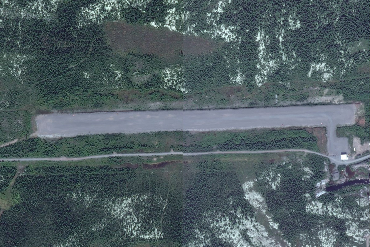
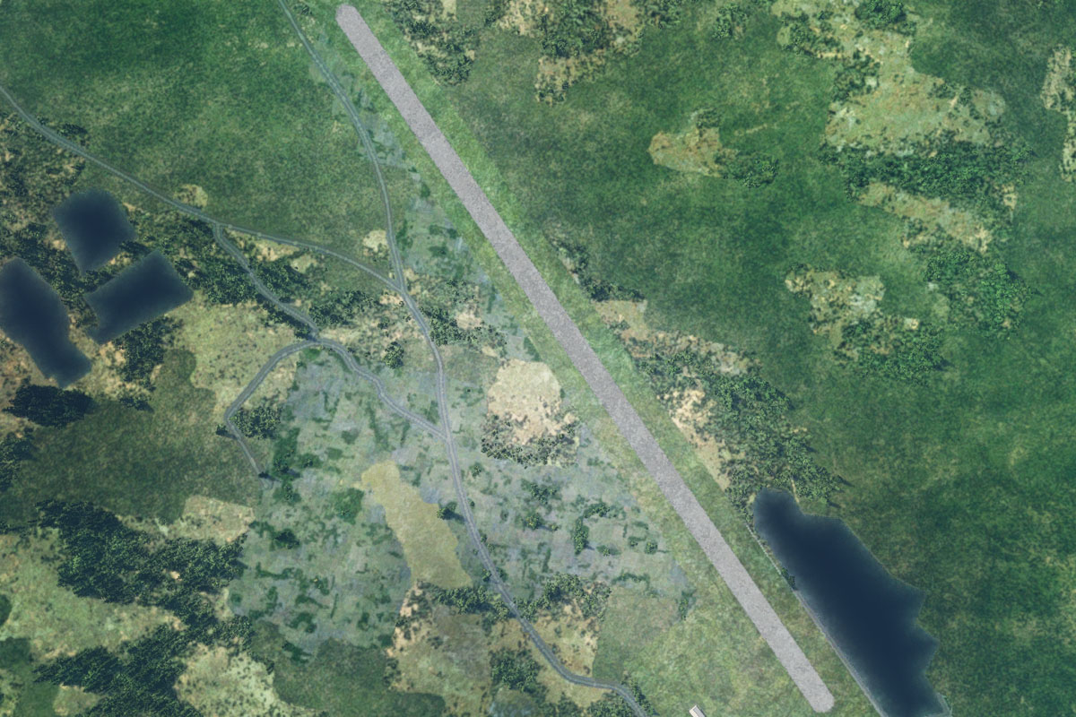
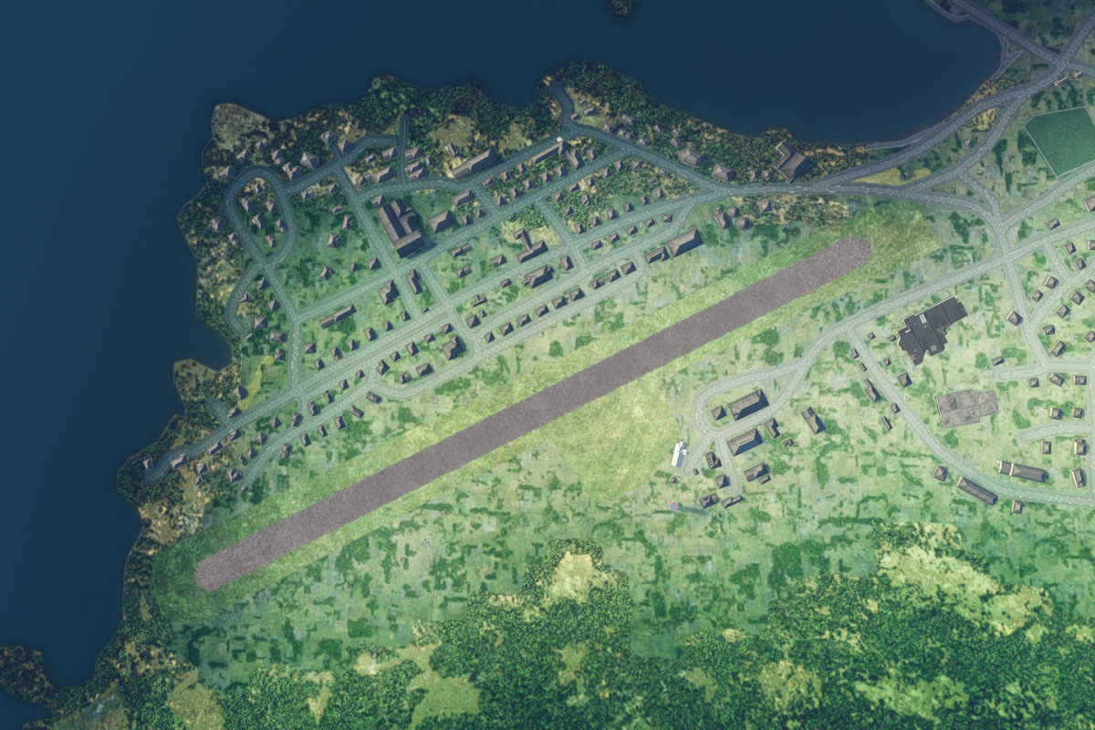
Follow the river south, and on the western bank is the town of Kuujjuaq, the largest northern village in the Nunavik region of Quebec. The airport is on the town's southwestern edge
Leg 12
Flying from CYVP
Leg Distance: 58.86 Approximate time at 125kts: 28 minutes.
CYVP(CYVP) to Baie Seche(POI44)
Distance: 52.2NM Bearing: 329° 25 minutes
After takeoff, fly northwest on the long overland journey to Sèche Bay, which marks the southern extent of the Feuilles Passage
Baie Seche(POI44) to CYTQ(CYTQ)
Distance: 6.66NM Bearing: 313° 3 minutes
Head northwest across the bay to Tasiujaq Airport, which lies a few miles west of the bay next to the Berard River, and south of the town of Tasiujaq
Leg 13
Flying from CYTQ
Leg Distance: 41.83 Approximate time at 125kts: 20 minutes.
CYTQ(CYTQ) to Lac aux Feuilles(POI45)
Distance: 7.08NM Bearing: 55° 3 minutes
After takeoff, fly northeast over the town on the way to the rocky island in nearby Lake Feuilles
Lac aux Feuilles(POI45) to Baie aux Baleines(POI46)
Distance: 6.5NM Bearing: 41° 3 minutes
Continue northeast across the lake to the entrance of Baleines Bay
Baie aux Baleines(POI46) to Baie aux Baleines(POI47)
Distance: 11.55NM Bearing: 5° 6 minutes
Head north to the northern tip of the bay
Baie aux Baleines(POI47) to Kativik(POI48)
Distance: 4.25NM Bearing: 61° 2 minutes
From the north end of the bay, fly northeast over two large lakes
Kativik(POI48) to Kativik(POI49)
Distance: 7.23NM Bearing: 45° 3 minutes
Continue northeast over another series of lakes, to the river that leads from the northeastern end
Kativik(POI49) to CYLA(CYLA)
Distance: 5.22NM Bearing: 46° 3 minutes
Follow the river north, then northeast towards the town of Aupaluk. The airport is next to the town
Leg 14
Flying from CYLA
Leg Distance: 46.85 Approximate time at 125kts: 22 minutes.
CYLA(CYLA) to Baie False(POI50)
Distance: 14.73NM Bearing: 10° 7 minutes
Fly north over the bay and follow the coast north to another bay
Baie False(POI50) to Riviere Lefroy(POI51)
Distance: 10.24NM Bearing: 351° 5 minutes
At the northern end of the bay where the coast runs to the northeast, fly north, inland to a group of lakes near the Lefroy River
Riviere Lefroy(POI51) to Riviere Brochant(POI52)
Distance: 9.77NM Bearing: 358° 5 minutes
Continue north across the tundra landscape to cross the Brochant River
Riviere Brochant(POI52) to Bassin Payne(POI53)
Distance: 8.63NM Bearing: 30° 4 minutes
Head northeast to the group of rocky islands near the southern shore of a long coastal inlet
Bassin Payne(POI53) to CYAS(CYAS)
Distance: 3.48NM Bearing: 354° 2 minutes
Fly north across the channel to the town of Kangirsuk on the north shore. The airport is on higher ground northeast of the town
Leg 15
Flying from CYAS
Leg Distance: 63.25 Approximate time at 125kts: 30 minutes.
CYAS(CYAS) to Baie De Roziere(POI54)
Distance: 30.05NM Bearing: 32° 14 minutes
After takeoff, fly northeast over the barren landscape until you reach Rozière Bay, which lies on the western side of the much larger Ungava Bay
Baie De Roziere(POI54) to Baie Kakkiniup Kuungata(POI55)
Distance: 10.89NM Bearing: 41° 5 minutes
Cut across land northeast to another bay, where the coastline turns away to the east
Baie Kakkiniup Kuungata(POI55) to Baie Diana(POI56)
Distance: 11.3NM Bearing: 19° 5 minutes
Fly north across another stretch of tundra to reach the southern edge of Diana Bay, which opens north to the Hudson Strait
Baie Diana(POI56) to Quaqtaq(POI57)
Distance: 9.96NM Bearing: 30° 5 minutes
Follow the eastern shore of the bay north to the village of Quaqtaq a couple of miles from the northern end of the peninsula
Quaqtaq(POI57) to CYHA(CYHA)
Distance: 1.05NM Bearing: 98° 1 minutes
The airport is on the eastern edge of the town
Leg 16
Flying from CYHA
Leg Distance: 118.24 Approximate time at 125kts: 57 minutes.
CYHA(CYHA) to Big Island(POI58)
Distance: 91.56NM Bearing: 8° 44 minutes
After takeoff, fly north on the 90 mile crossing of the Hudson Strait to reach the aptly named Big Island, in the largest and most northerly territory of Canada, Nunavut
Big Island(POI58) to Big Island(POI59)
Distance: 8.92NM Bearing: 44° 4 minutes
Fly northeast to the other side of the island
Big Island(POI59) to Baffin Island(POI60)
Distance: 11.51NM Bearing: 78° 6 minutes
Fly east over White Strait to reach Pleasant Inlet, which leads north into Baffin Island, the fifth largest island in the world
Baffin Island(POI60) to Glasgow Bay(POI61)
Distance: 3.46NM Bearing: 79° 2 minutes
Continue east over the lake filled landscape to reach another large inlet, Glasgow Bay
Glasgow Bay(POI61) to CYLC(CYLC)
Distance: 2.79NM Bearing: 2° 1 minutes
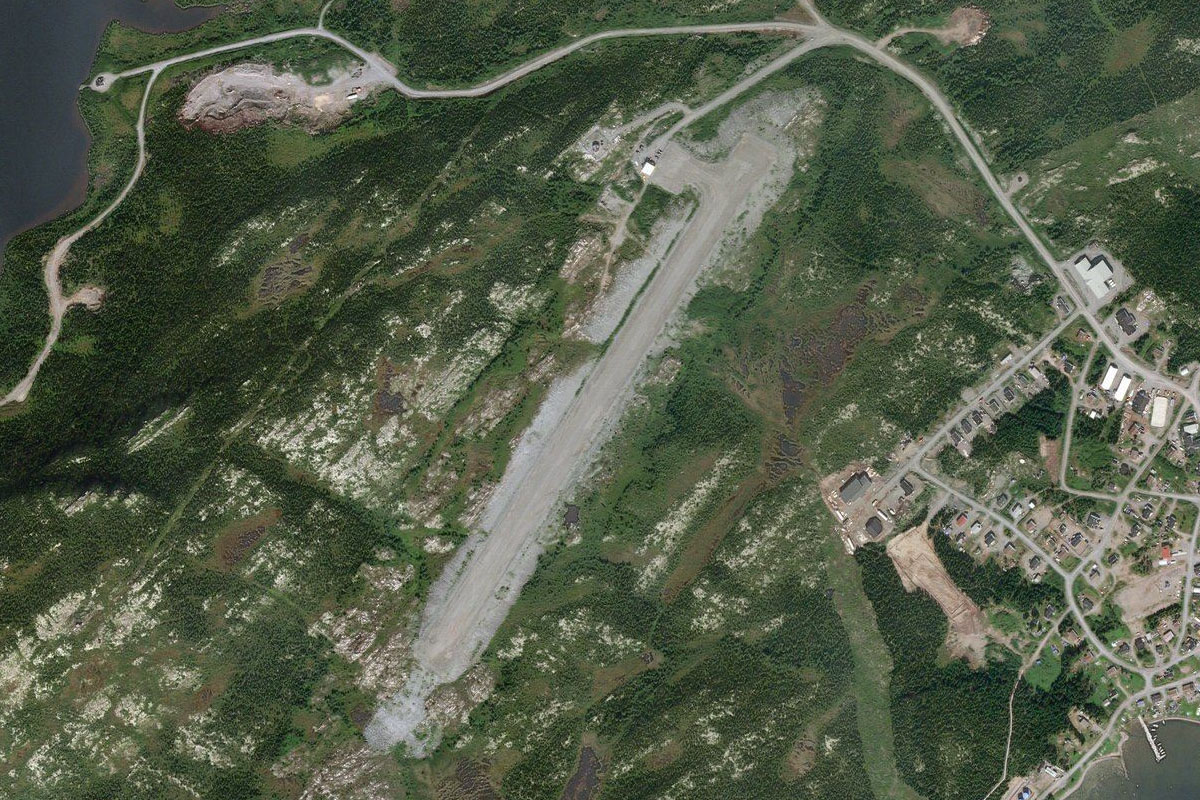
Follow the bay north to the small town of Kimmirut, and the airport next to the town
Leg 17
Flying from CYLC
Leg Distance: 65.24 Approximate time at 125kts: 31 minutes.
CYLC(CYLC) to Frobisher Bay(POI62)
Distance: 53.1NM Bearing: 57° 25 minutes
After takeoff, fly northeast over the tundra to reach Frobisher Bay
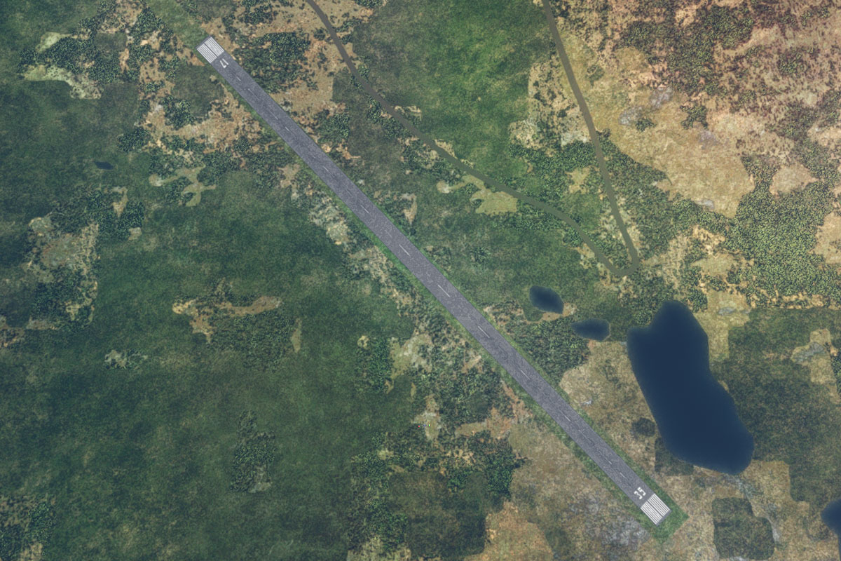
Frobisher Bay(POI62) to CYFB(CYFB)
Distance: 12.14NM Bearing: 52° 6 minutes
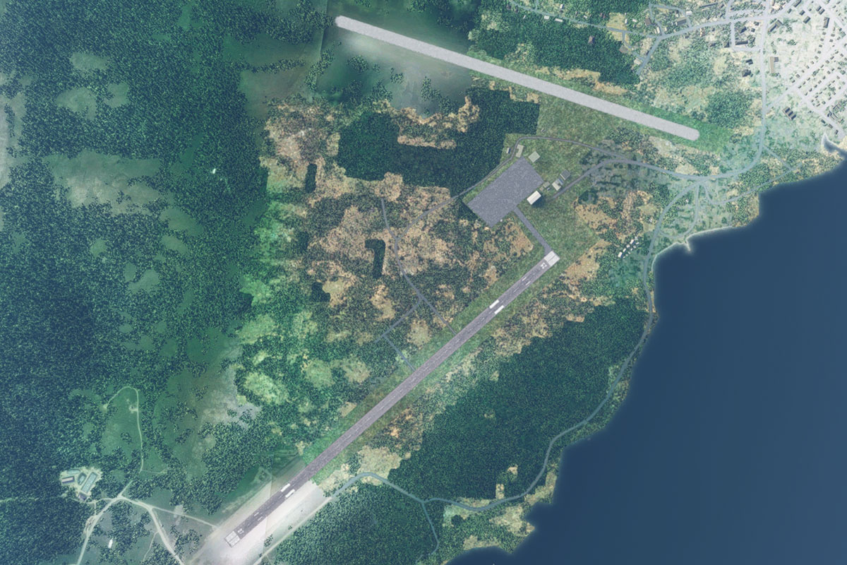
Continue northeast to the other side of the bay, and the city of Iqaluit, which is the capital of Nunavut and has a population of just over 7000 people
Leg 18
Flying from CYFB
Leg Distance: 87.51 Approximate time at 125kts: 42 minutes.
CYFB(CYFB) to Unnamed Lake(POI63)
Distance: 30.09NM Bearing: 58° 14 minutes
After takeoff, head northeast towards a long, narrow lake
Unnamed Lake(POI63) to Unnamed Lake(POI64)
Distance: 8.5NM Bearing: 43° 4 minutes
Fly northeast to another large lake
Unnamed Lake(POI64) to Robert Peel Inlet(POI65)
Distance: 44.48NM Bearing: 48° 21 minutes
Continue northeast across the tundra. As you near the rocky coastline you will reach a small fjord like valley leading north
Robert Peel Inlet(POI65) to CC1P(CC1P)
Distance: 4.44NM Bearing: 29° 2 minutes
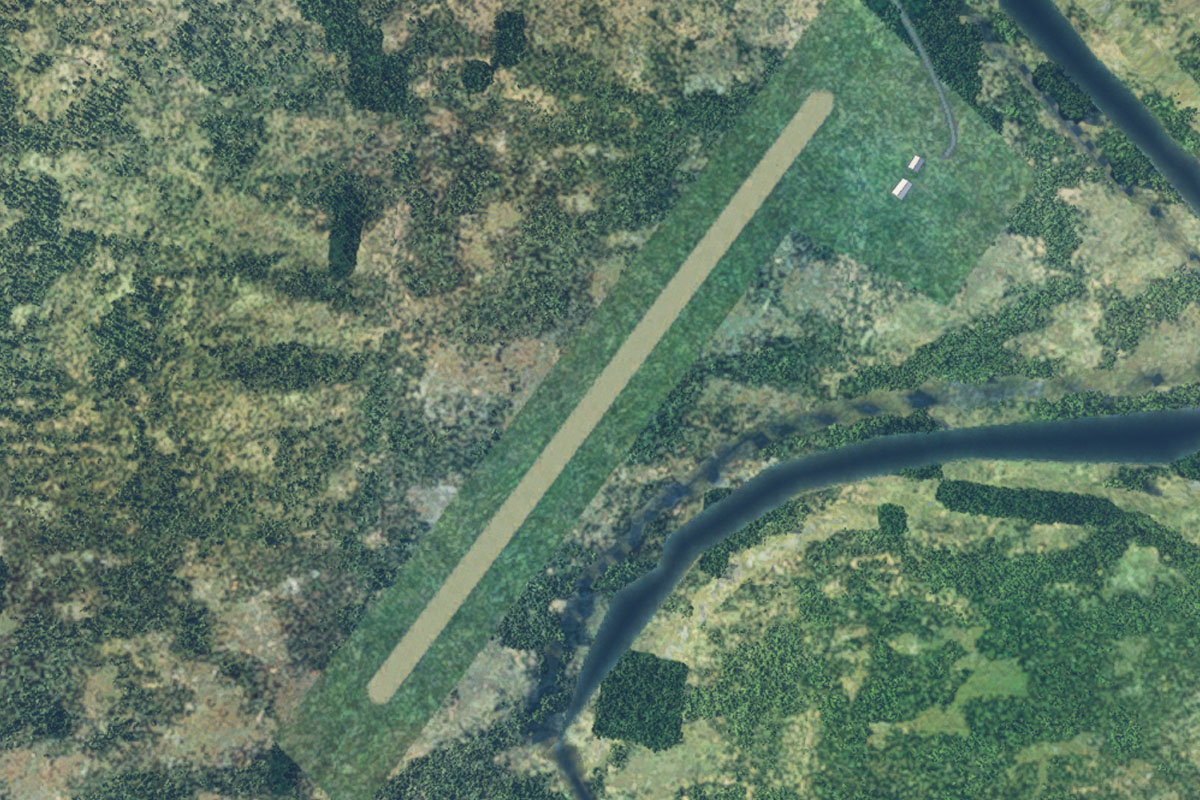
Follow the valley north to the large sandbank on the left side, which will provide a suitable landing area
Leg 19
Flying from CC1P
Leg Distance: 78.51 Approximate time at 125kts: 38 minutes.
CC1P(CC1P) to Robert Peel Inlet(POI66)
Distance: 5.28NM Bearing: 87° 3 minutes
After takeoff, follow the valley east to reach the main body of the Robert Peel Inlet
Robert Peel Inlet(POI66) to Cumberland Sound(POI67)
Distance: 17.3NM Bearing: 42° 8 minutes
Head northeast alongside the series of coastal islands to reach the open water of the Cumberland Sound
Cumberland Sound(POI67) to Panniqtuup Paanga(POI68)
Distance: 44.75NM Bearing: 57° 21 minutes
Fly northeast across the sound to the large shelf of relatively flat land between the entrances of two fjords
Panniqtuup Paanga(POI68) to Panniqtuup Paanga(POI69)
Distance: 5.7NM Bearing: 359° 3 minutes
Fly north to the fjord entrance
Panniqtuup Paanga(POI69) to CYXP(CYXP)
Distance: 5.48NM Bearing: 86° 3 minutes
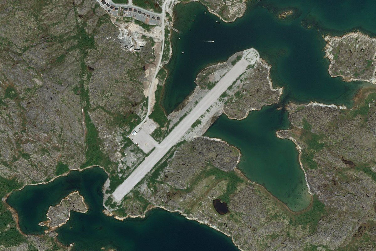
Head east along the fjord to the airport on the southern shore which serves the town of Pangnirtung
Leg 20
Flying from CYXP
Leg Distance: 124.87 Approximate time at 125kts: 60 minutes.
CYXP(CYXP) to Pangnirtung Fjord(POI70)
Distance: 15.44NM Bearing: 47° 7 minutes
Fly northeast along the fjord, one of many in this region of Baffin Island
Pangnirtung Fjord(POI70) to Weasel River(POI71)
Distance: 6.66NM Bearing: 23° 3 minutes
Continue northeast along the fjord, as it narrows into Weasel River
Weasel River(POI71) to Mount Thor(POI72)
Distance: 3.8NM Bearing: 89° 2 minutes
The valley will turn east and pass between the imposing peaks of Mount Odin and Mount Thor
Mount Thor(POI72) to Glacier Lake(POI73)
Distance: 12.61NM Bearing: 63° 6 minutes
The valley will turn back to the northeast, where a series of glaciers enter from both sides and run into Glacier Lake, which runs along the valley
Glacier Lake(POI73) to Mt Battle(POI74)
Distance: 8.54NM Bearing: 95° 4 minutes
From the north end of the lake, follow the valley east
Mt Battle(POI74) to Padle Fjord(POI75)
Distance: 20.26NM Bearing: 106° 10 minutes
When the valley turns away to the north, fly east over higher ground and out of the valley across to land that gently slopes down to the end of another fjord
Padle Fjord(POI75) to Southwind Fjord(POI76)
Distance: 37.14NM Bearing: 123° 18 minutes
Follow the fjord as it runs briefly southeast, then continue southeast, crossing over three more fjords
Southwind Fjord(POI76) to Sunneshine Fjord(POI77)
Distance: 9.93NM Bearing: 149° 5 minutes
From the southern end of the third fjord, fly southeast over a glacier field to reach Sunneshine Fjord, which leads to the coast
Sunneshine Fjord(POI77) to CYVN(CYVN)
Distance: 10.49NM Bearing: 142° 5 minutes
Follow the eastern shore of the fjord around to Cape Dyer airport, which lies on higher ground a mile east of the shore, and is the destination for this stage