Welcome to stage 58 of the World Sightseeing Tour, the last stage in the United Kingdom before heading to mainland Europe. You will start with a leisurely trip north via the university cities of Oxford and Cambridge on your way through the Midlands to the major city of Manchester, then across Yorkshire to the northern city of Newcastle. Making your way down the eastern edge of England, you will visit the cathedral cities of York and Canterbury en route to the iconic White Cliffs of Dover, where you will cross the English Channel to the first stop on the European Mainland, Calais
Total Legs: 19 Total Distance: 782 Total Time(125kts): 6 hours 15 minutes
Leg 1
Flying from EGLL
Leg Distance: 47.04 Approximate time at 125kts: 23 minutes.
EGLL(EGLL) to Windsor(POI1)
Distance: 5.73NM Bearing: 269° 3 minutes
After takeoff, fly west over the nearby reservoir named after the Queen Mother to reach the town of Windsor. On the northeastern edge of the town is Windsor Castle, a Royal residence with almost 1000 years of history
Windsor(POI1) to Slough Trading Estate(POI2)
Distance: 2.68NM Bearing: 348° 1 minutes
After passing the castle, turn north to Slough Trading Estate, the largest industrial estate in single private ownership in Europe
Slough Trading Estate(POI2) to Pinewood Studios(POI3)
Distance: 3.9NM Bearing: 56° 2 minutes
Turn northeast from the industrial estate and head to the large highway junction. Next to the junction is Pinewood Studios, historic film studios and home to the James Bond movies amongst many others
Pinewood Studios(POI3) to Chiltern Hills(POI4)
Distance: 17.11NM Bearing: 293° 8 minutes
From Pinewood, turn northwest and follow the M40 motorway as it heads towards the Chiltern Hills, before dropping to the lower plain on the way to Oxford
Chiltern Hills(POI4) to Oxford(POI5)
Distance: 12.05NM Bearing: 293° 6 minutes
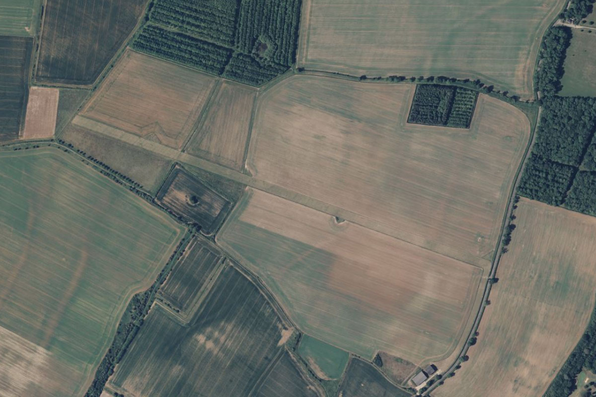
Continue northwest to the city of Oxford, known for its university and car manufacturing site of the Mini in the large facility on the eastern edge of the city
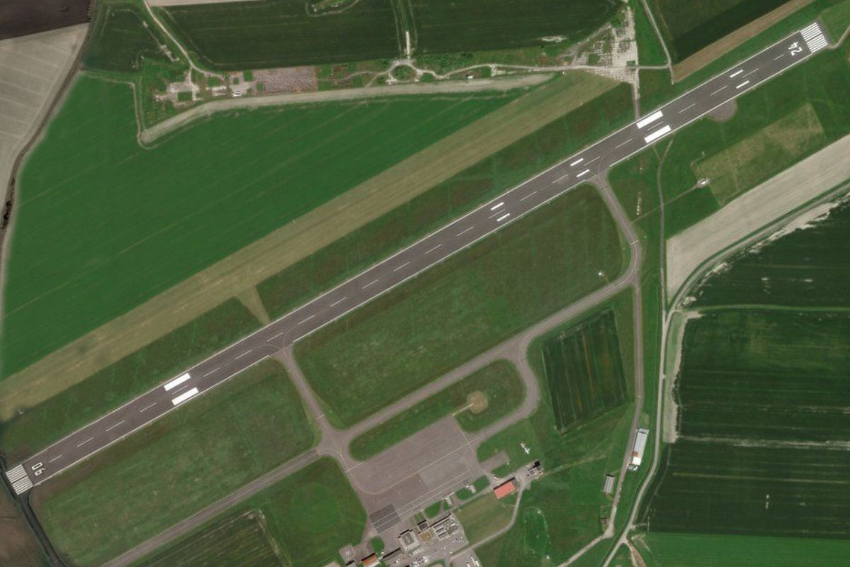
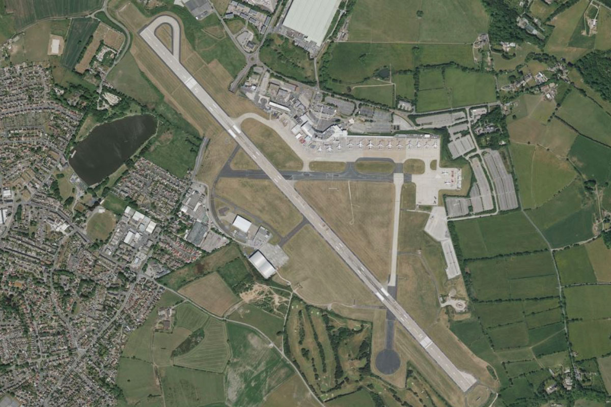
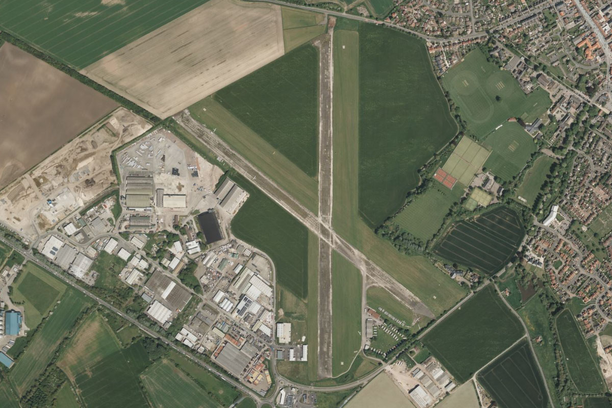
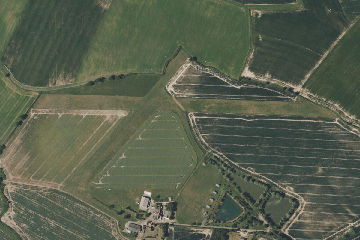
Oxford(POI5) to EGTK(EGTK)
Distance: 5.57NM Bearing: 335° 3 minutes
From Oxford, head north to the town of Kidlington a few miles away, and the airport on the west side of the town
Leg 2
Flying from EGTK
Leg Distance: 35.38 Approximate time at 125kts: 17 minutes.
EGTK(EGTK) to Heyford(POI6)
Distance: 6.59NM Bearing: 22° 3 minutes
As you takeoff, look to the west of the airport for Blenheim Palace, one of England's largest houses built in the early 1700's. Then head northeast to overfly the disused Royal Air Force station at Upper Heyford.
Heyford(POI6) to Brackley(POI7)
Distance: 6.76NM Bearing: 33° 3 minutes
Continue northeast to the town of Brackley, home to the Mercedes AMG Formula 1 team
Brackley(POI7) to Silverstone(POI8)
Distance: 5.43NM Bearing: 63° 3 minutes
From Brackley, follow the A43 highway northeast for a look at the Silverstone motor racing circuit, which has hosted grand prix racing since 1948
Silverstone(POI8) to Northampton(POI9)
Distance: 10.85NM Bearing: 22° 5 minutes
Keep following the A43 highway as it turns northeast and leads you to the city of Northampton. The nearby Althorp Estate is the final resting place of Diana, Princess of Wales.
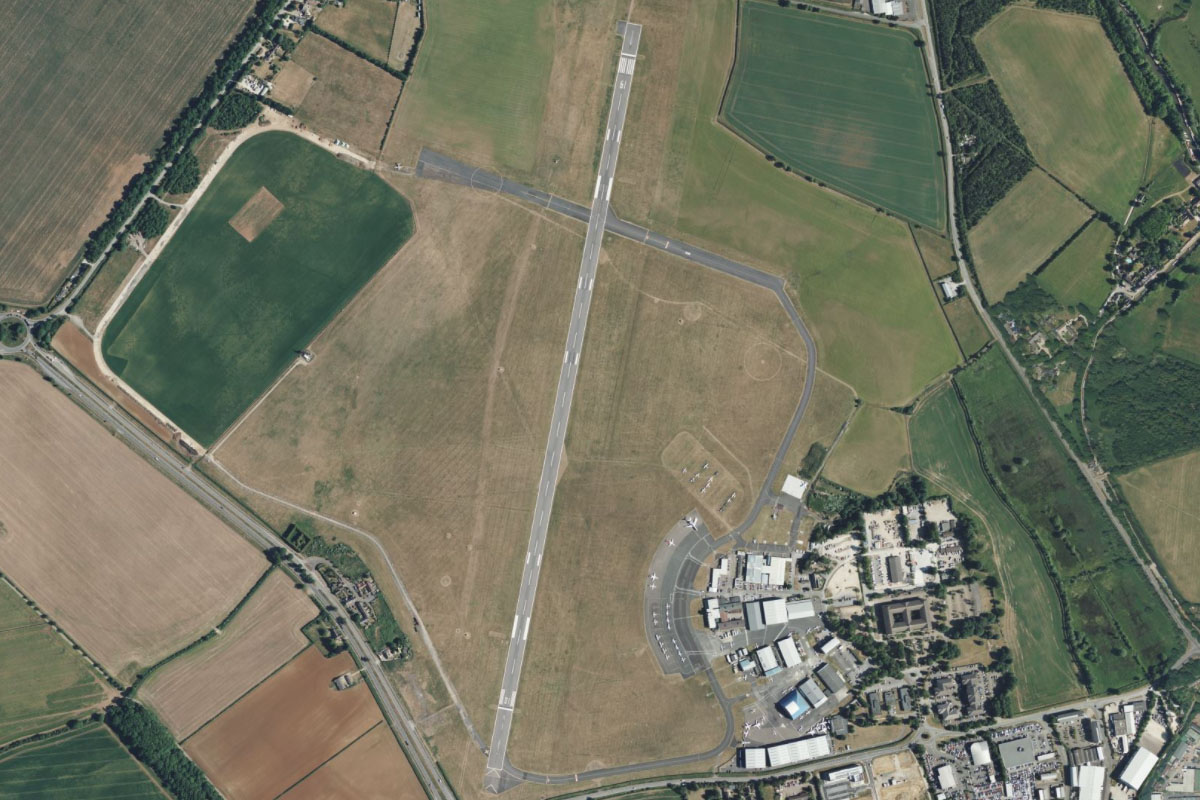
Northampton(POI9) to EGBK(EGBK)
Distance: 5.75NM Bearing: 44° 3 minutes
Fly northeast from the center of the city to reach Sywell Aerodrome
Leg 3
Flying from EGBK
Leg Distance: 36.87 Approximate time at 125kts: 18 minutes.
EGBK(EGBK) to Grafham Water(POI10)
Distance: 17.5NM Bearing: 90° 8 minutes
After takeoff, fly east over the towns of Wellingborough and Rushen on the way to the reservoir of Grafham Water, a popular site for leisure activities and also contains a nature reserve
Grafham Water(POI10) to Cranbourne(POI11)
Distance: 10.44NM Bearing: 118° 5 minutes
Fly southeast over the River Great Ouse to the town of Cranbourne
Cranbourne(POI11) to Cambridge(POI12)
Distance: 6.86NM Bearing: 95° 3 minutes
Continue east from Cranbourne to the city of Cambridge. The city is most famous as the home of the University of Cambridge, which was founded in 1209. The university is home to over 100 libraries and over 16 million books
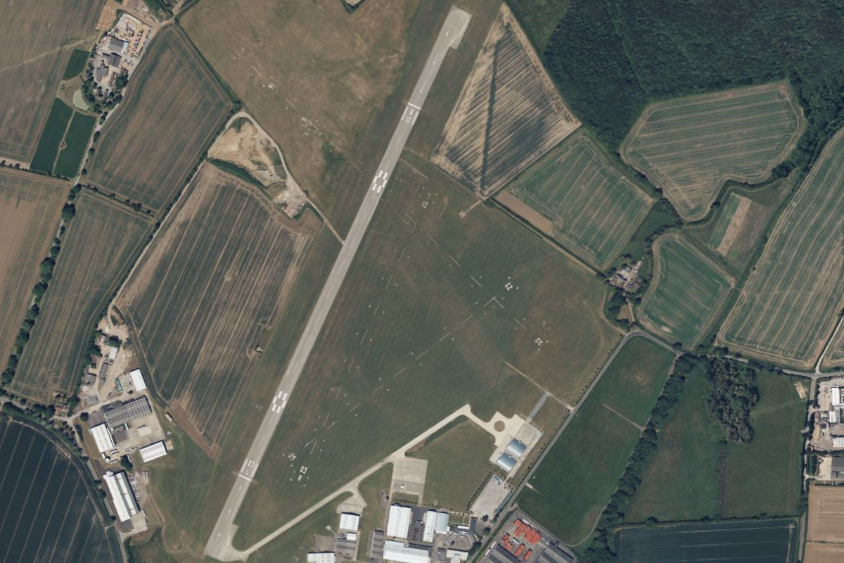
Cambridge(POI12) to EGSC(EGSC)
Distance: 2.07NM Bearing: 86° 1 minutes
Cambridge airport is on the eastern edge of the city
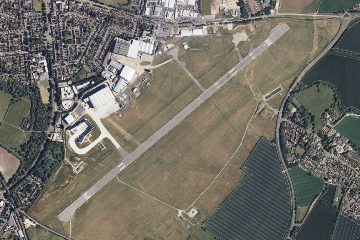
Leg 4
Flying from EGSC
Leg Distance: 38.89 Approximate time at 125kts: 19 minutes.
EGSC(EGSC) to Ely(POI13)
Distance: 12.33NM Bearing: 15° 6 minutes
After takeoff, fly north to the town of Ely, home to a nearly 1000 year old cathedral and once home to the famous historic figure Oliver Cromwell
Ely(POI13) to March(POI14)
Distance: 11.02NM Bearing: 323° 5 minutes
From Ely, fly northwest to the large town of March. On the way you will pass over a narrow 20 mile long floodplain known as the Hundred Foot Washes
March(POI14) to Peterborough(POI15)
Distance: 12.3NM Bearing: 274° 6 minutes
From March, head west along with the railway line to the city of Peterborough, known for its 13th century cathedral
Peterborough(POI15) to EGCY(EGCY)
Distance: 3.24NM Bearing: 287° 2 minutes
Continue west to Milton airfield, sitting just west of the golf course on the outer edge of town
Leg 5
Flying from EGCY
Leg Distance: 43.88 Approximate time at 125kts: 21 minutes.
EGCY(EGCY) to Stamford(POI16)
Distance: 6.79NM Bearing: 304° 3 minutes
Fly northwest to the nearby town of Stamford. The large stately home of Burghley House lies in a large parkland estate southeast from the town
Stamford(POI16) to Leicester(POI17)
Distance: 23.58NM Bearing: 268° 11 minutes
Fly west over the reservoir of Rutland Water to the city of Leicester. The cathedral near the city center is the final resting place of King Richard III
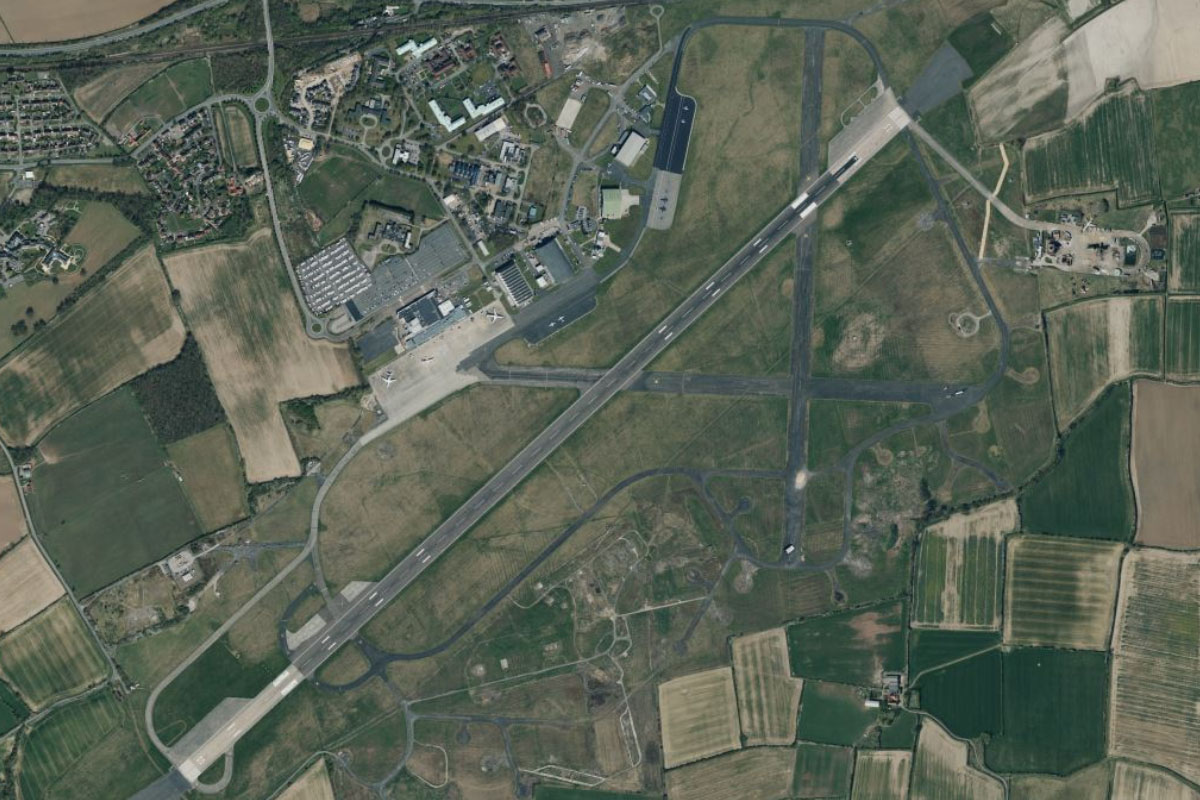
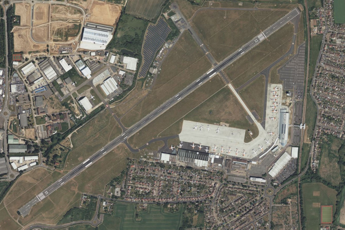
Leicester(POI17) to EGNX(EGNX)
Distance: 13.51NM Bearing: 327° 6 minutes
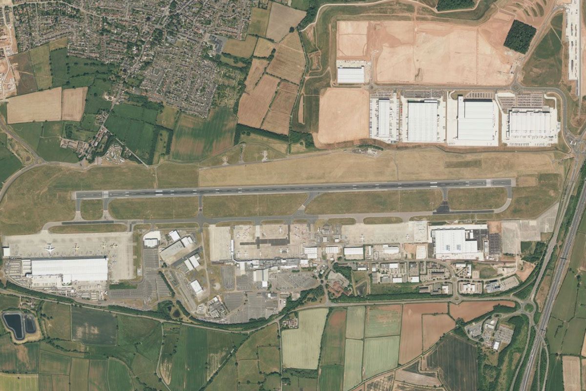
Fly northwest from Leicester to reach East Midlands Airport. This busy international airport is a popular departing point for holiday makers heading to Spain, and lies next to the Donington Park motor racing circuit
Leg 6
Flying from EGNX
Leg Distance: 52.99 Approximate time at 125kts: 25 minutes.
EGNX(EGNX) to Nottingham(POI18)
Distance: 9.8NM Bearing: 42° 5 minutes
After takeoff, fly northeast with the River Trent to the city of Nottingham. This major sporting city also has links to the legend of Robin Hood
Nottingham(POI18) to Sherwood Forest(POI19)
Distance: 15.63NM Bearing: 8° 8 minutes
From the center of Nottingham, head north to a group of dark forested areas. At the center of these is Sherwood Forest. Sitting of the northwestern edge of the town of Edwinstowe, the forest is famous for its connection to the legend of Robin Hood
Sherwood Forest(POI19) to Sheffield(POI20)
Distance: 16.94NM Bearing: 306° 8 minutes
Head northwest from the forest to the city of Sheffield, which lies at the foot of the Pennine Mountains. Sheffield was a major industrial center in the 19th century, giving it the nickname of Steel City. It is also home to the world's oldest football club, Sheffield FC
Sheffield(POI20) to Hathersage(POI21)
Distance: 7.61NM Bearing: 247° 4 minutes
From the city center, turn southwest towards the hills, flying over the triangular plantation to the town of Hathersage in the valley on the other side
Hathersage(POI21) to EGHV(EGHV)
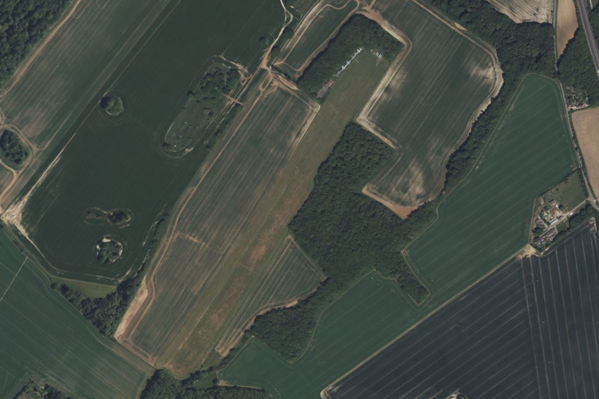
Distance: 3.01NM Bearing: 243° 1 minutes
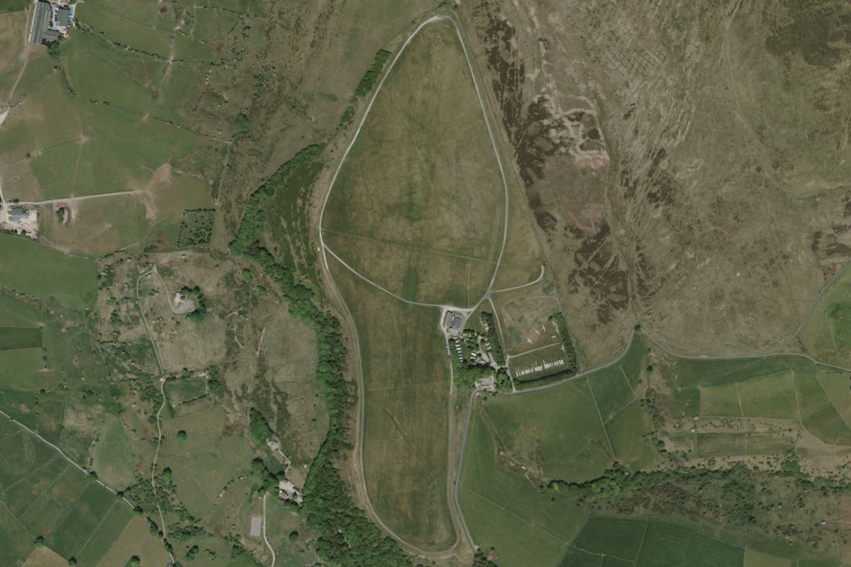
Continue southwest past the valley to Camphill Airfield on top of the hills to the west, which is the home of the Derbyshire and Lancashire Gliding Club
Leg 7
Flying from EGHV
Leg Distance: 32.87 Approximate time at 125kts: 16 minutes.
EGHV(EGHV) to Ladybower Reservoir(POI22)
Distance: 4.77NM Bearing: 0° 2 minutes
Fly north to Ladybower Reservoir, which lies within the hills of the Pennine Mountains
Ladybower Reservoir(POI22) to River Derwent(POI23)
Distance: 3.79NM Bearing: 351° 2 minutes
Follow the reservoir to its northern end where it meets the River Derwent
River Derwent(POI23) to Woodhead Reservoir(POI24)
Distance: 4.92NM Bearing: 304° 2 minutes
Fly northwest over the hills to the Woodhead Reservoir
Woodhead Reservoir(POI24) to Hadfield(POI25)
Distance: 4.46NM Bearing: 247° 2 minutes
Follow the trail of reservoirs as they make their way west to the town of Hadfield
Hadfield(POI25) to Manchester(POI26)
Distance: 9.64NM Bearing: 276° 5 minutes
From here you should see the buildings of Manchester to the west. The city is part of the second largest urban zone in England, and competes with Birmingham as England's second city behind London. Founded in the 1st century, Manchester was a major centre during the industrial revolution, and in more recent times is known for its vibrant music scene and football teams
Manchester(POI26) to EGCB(EGCB)
Distance: 5.29NM Bearing: 263° 3 minutes
From the city head west, passing to the north of the famous sporting arena of Old Trafford on the way to the grass runways of Barton Airport, half a mile north of the shipping canal
Leg 8
Flying from EGCB
Leg Distance: 37.15 Approximate time at 125kts: 18 minutes.
EGCB(EGCB) to Scout Moor(POI27)
Distance: 12.72NM Bearing: 25° 6 minutes
After takeoff, fly northeast to the Scout Moor Wind Farm, which lies atop the hills of the South Pennines
Scout Moor(POI27) to Todmorden(POI28)
Distance: 5.91NM Bearing: 59° 3 minutes
Turn further east and head over the nearby quarry to the town of Todmorden in the valley beyond. Just north of the town are the Bridestones, a group of unique rocky formations and local attraction
Todmorden(POI28) to Bradford(POI29)
Distance: 13.07NM Bearing: 68° 6 minutes
Continue northeast briefly along the valley to the town of Hebden Bridge, then over the hills to the city of Bradford
Bradford(POI29) to EGNM(EGNM)
Distance: 5.45NM Bearing: 37° 3 minutes
A few miles northeast from Bradford is Leeds Bradford Airport, which serves both cities
Leg 9
Flying from EGNM
Leg Distance: 43.88 Approximate time at 125kts: 21 minutes.
EGNM(EGNM) to Harrogate(POI30)
Distance: 8.46NM Bearing: 29° 4 minutes
Fly northeast to the large town of Harrogate, popular spa town
Harrogate(POI30) to Fountains Abbey(POI31)
Distance: 7.72NM Bearing: 359° 4 minutes
Fly north from Harrogate to reach Fountains Abbey near the town of Ripon. The abbey is one of the largest and best preserved ruined Cistercian monasteries in England.
Fountains Abbey(POI31) to Bedale(POI32)
Distance: 10.3NM Bearing: 0° 5 minutes
Continue north until you reach the A1 motorway near the town of Bedale
Bedale(POI32) to Catterick(POI33)
Distance: 6.57NM Bearing: 327° 3 minutes
Follow the motorway northwest until you reach Catterick Racecourse on the eastern edge of the road
Catterick(POI33) to EGNV(EGNV)
Distance: 10.83NM Bearing: 45° 5 minutes
Turn northeast and head past the Croft Motor Racing Circuit to Teesside International Airport, which serves the city of Middlesborough and the local area
Leg 10
Flying from EGNV
Leg Distance: 34.5 Approximate time at 125kts: 17 minutes.
EGNV(EGNV) to Aycliffe Business Park(POI34)
Distance: 7.47NM Bearing: 318° 4 minutes
Fly northwest to Aycliffe Business Park, a large industrial estate which started as munitions factories during the Second World War
Aycliffe Business Park(POI34) to Durham(POI35)
Distance: 10.32NM Bearing: 359° 5 minutes
10 miles north from the business park is the town of Durham, whose 11th century cathedral dominates the skyline
Durham(POI35) to Newcastle(POI36)
Distance: 11.68NM Bearing: 354° 6 minutes
Continue north to the city of Newcastle, passing by the famous hilltop statue of the Angel of The North along the way. This populous northern city is known for its nightlife and is home to the Newcastle football club and the Tyne Bridge
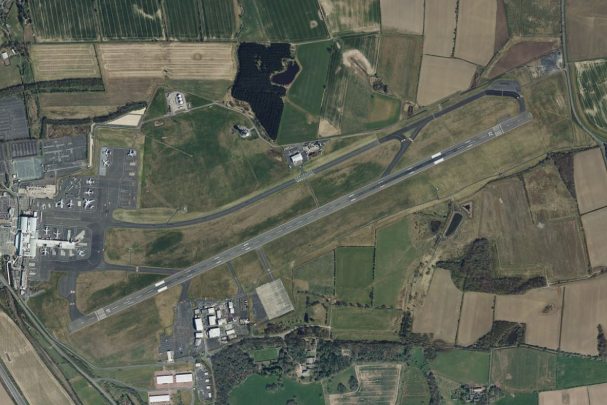
Newcastle(POI36) to EGNT(EGNT)
Distance: 5.03NM Bearing: 328° 2 minutes
Newcastle Airport is a few miles northwest from the city
Leg 11
Flying from EGNT
Leg Distance: 45.84 Approximate time at 125kts: 22 minutes.
EGNT(EGNT) to Whitley Bay(POI37)
Distance: 8.92NM Bearing: 91° 4 minutes
After takeoff, fly east to the North Sea Coast
Whitley Bay(POI37) to Souter Point(POI38)
Distance: 5.36NM Bearing: 150° 3 minutes
Follow the coastline southeast across the mouth of the River Tyne to the rocky cliffs further south
Souter Point(POI38) to Sunderland(POI39)
Distance: 2.66NM Bearing: 190° 1 minutes
Continue south along the coast to the mouth of the River Wear and the port city of Sunderland
Sunderland(POI39) to Seaham(POI40)
Distance: 4.9NM Bearing: 163° 2 minutes
Keep following the coast south to the small harbor at the town of Seaham
Seaham(POI40) to Hartlepool(POI41)
Distance: 9.8NM Bearing: 148° 5 minutes
Keep following the coast as it curves around to the southeast and leads to the Port of Hartlepool
Hartlepool(POI41) to River Tees(POI42)
Distance: 3.63NM Bearing: 167° 2 minutes
Just south of the port is the mouth of the River Tees
River Tees(POI42) to Middlesborough(POI43)
Distance: 4.71NM Bearing: 219° 2 minutes
Follow the river southwest past the large oil refinery and port area to the large town of Middlesborough, home to the iconic and unique Transporter Bridge
Middlesborough(POI43) to EGRC(EGRC)
Distance: 5.86NM Bearing: 86° 3 minutes
From the town, turn east and fly past the Riverside Stadium to the small grass airstrip which lies in farmland a few miles from the coast
Leg 12
Flying from EGRC
Leg Distance: 47.89 Approximate time at 125kts: 23 minutes.
EGRC(EGRC) to Helmsley(POI44)
Distance: 20.22NM Bearing: 179° 10 minutes
After takeoff, turn south and fly over the hills of the North York Moors National Park
Helmsley(POI44) to York(POI45)
Distance: 17.13NM Bearing: 182° 8 minutes
Continue south to the city of York. This walled city was founded by the Romans in the 1st century AD, with the city center dominated by one of the world's great cathedrals, York Minster
York(POI45) to EGQJ(EGQJ)
Distance: 10.54NM Bearing: 101° 5 minutes
From York, follow the A1079 main road east which will lead you to Pocklington Airfield, a former RAF site now used by a local glider club
Leg 13
Flying from EGQJ
Leg Distance: 42.04 Approximate time at 125kts: 20 minutes.
EGQJ(EGQJ) to Humber Bridge(POI46)
Distance: 17.75NM Bearing: 136° 9 minutes
Fly southeast to meet the Humber estuary, where it is spanned by the Humber Bridge. On its opening in 1981, it was the longest suspension bridge in the world at that time
Humber Bridge(POI46) to Hull(POI47)
Distance: 5.93NM Bearing: 82° 3 minutes
Follow the estuary east past the city of Hull on the north bank
Hull(POI47) to Grimsby(POI48)
Distance: 11.69NM Bearing: 136° 6 minutes
Keep following the industrialized south bank of the Humber to the port town of Grimsby
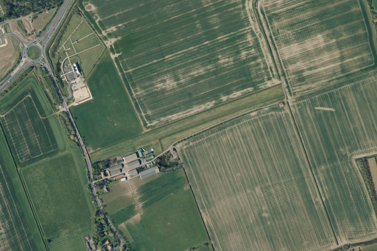
Grimsby(POI48) to EG0E(EG0E)
Distance: 6.67NM Bearing: 139° 3 minutes
Continue southeast along the shoreline. After passing a couple of golf courses you will see a small village with an airstrip running along its east side
Leg 14
Flying from EG0E
Leg Distance: 54.76 Approximate time at 125kts: 26 minutes.
EG0E(EG0E) to Saltfleet(POI49)
Distance: 8.7NM Bearing: 134° 4 minutes
After takeoff, fly southeast to meet the coast
Saltfleet(POI49) to Skegness(POI50)
Distance: 15.8NM Bearing: 164° 8 minutes
Follow the coast as it turns around to the south, leading you to the town of Skegness
Skegness(POI50) to Gibraltar Point(POI51)
Distance: 3.29NM Bearing: 189° 2 minutes
Continue south from Skegness to Gibraltar Point, which marks the northern corner of The Wash, a large rectangular bay
Gibraltar Point(POI51) to Holme Dunes(POI52)
Distance: 9.78NM Bearing: 135° 5 minutes
Fly southeast across The Wash to the dune filled shoreline on the other side
Holme Dunes(POI52) to Scolt Head Island(POI53)
Distance: 6.75NM Bearing: 83° 3 minutes
Follow the coastline east to Scolt Head Island Nature Reserve, a barrier island of mud flats and sand dunes
Scolt Head Island(POI53) to Holkham Park(POI54)
Distance: 3.9NM Bearing: 117° 2 minutes
As you continue east, look for the large estate of Holkham Park, and the large 18th century country house of Holkham Hall
Holkham Park(POI54) to EGIK(EGIK)
Distance: 6.54NM Bearing: 144° 3 minutes
Head southeast over the nearby village of Walsingham to reach Little Snoring Airfield which lies to the west of a wooded area. The airfield is on the site of a former RAF base
Leg 15
Flying from EGIK
Leg Distance: 42.96 Approximate time at 125kts: 21 minutes.
EGIK(EGIK) to Norwich(POI55)
Distance: 19.83NM Bearing: 133° 10 minutes
Flt southwest to reach the city of Norwich, the major population centre of this region of England, with claims of being the most complete medieval city in the United Kingdom
Norwich(POI55) to Acle(POI56)
Distance: 9.36NM Bearing: 86° 4 minutes
From the center of Norwich, turn east and follow the A47 highway to the town of Acle, 10 miles away
Acle(POI56) to River Yare(POI57)
Distance: 4.46NM Bearing: 134° 2 minutes
Head southeast and cross the large green area of flat land names The Broads to reach the River Yare. The Broads are Britain's largest protected wetland, and id crossed by a network of mostly navigable rivers, lakes and canals
River Yare(POI57) to River Yare(POI58)
Distance: 2.75NM Bearing: 230° 1 minutes
Follow the river southwest to its junction with the Haddiscoe Cut, a canal that connects this river with the River Waveney
River Yare(POI58) to Loddon(POI59)
Distance: 3.83NM Bearing: 250° 2 minutes
Continue southwest to the nearby town of Loddon
Loddon(POI59) to EGSJ(EGSJ)
Distance: 2.73NM Bearing: 235° 1 minutes
A few miles southwest from Loddon is the Seething Airfield
Leg 16
Flying from EGSJ
Leg Distance: 44.58 Approximate time at 125kts: 21 minutes.
EGSJ(EGSJ) to Bungay(POI60)
Distance: 3.84NM Bearing: 164° 2 minutes
After takeoff, head south to the largest of a nearby group of towns, Bungay
Bungay(POI60) to Halesworth(POI61)
Distance: 6.91NM Bearing: 159° 3 minutes
Continue south to the town of Halesworth
Halesworth(POI61) to Saxmundham(POI62)
Distance: 7.59NM Bearing: 184° 4 minutes
Head south to meet the A12 main road, which will lead you past the town of Saxmundham
Saxmundham(POI62) to Bentwaters(POI63)
Distance: 5.19NM Bearing: 193° 2 minutes
As the road turns away to the southwest, continue south to the large disused RAF base, now known as Bentwaters Parks
Bentwaters(POI63) to Woodbridge(POI64)
Distance: 5.07NM Bearing: 244° 2 minutes
The old runway will point you southwest to the town of Woodbridge, on the River Deben. Across the river lies Sutton Hoo, an important Anglo-Saxon historical site and burial ground
Woodbridge(POI64) to River Deben(POI65)
Distance: 7.03NM Bearing: 158° 3 minutes
Follow the river south to the coast
River Deben(POI65) to Harwich(POI66)
Distance: 4.56NM Bearing: 235° 2 minutes
Fly southwest over the nearby town of Felixstowe, which is home to the United Kingdom's busiest container port. Continue southwest across the harbor mouth to the town of Harwich
Harwich(POI66) to EGLI(EGLI)
Distance: 4.39NM Bearing: 242° 2 minutes
Flying southwest alongside the main road will take you to the large grass airfield at Great Oakley
Leg 17
Flying from EGLI
Leg Distance: 30.68 Approximate time at 125kts: 15 minutes.
EGLI(EGLI) to Brightlingsea(POI67)
Distance: 9.07NM Bearing: 224° 4 minutes
Fly southwest to reach the town of Brightlingsea on the River Colne
Brightlingsea(POI67) to Mersea Island(POI68)
Distance: 2.36NM Bearing: 243° 1 minutes
Cross the river to the center of Mersea Island, a tidal island whose access road floods at high tide
Mersea Island(POI68) to River Blackwater(POI69)
Distance: 3.17NM Bearing: 181° 2 minutes
Fly south across the mouth of the River Blackwater
River Blackwater(POI69) to Dengie Peninsula(POI70)
Distance: 6.33NM Bearing: 182° 3 minutes
Fly south along the eastern shore of the Dengie Peninsula
Dengie Peninsula(POI70) to River Crouch(POI71)
Distance: 2.49NM Bearing: 248° 1 minutes
When you reach the mouth of the River Crouch, follow it west
River Crouch(POI71) to EGMC(EGMC)
Distance: 7.26NM Bearing: 246° 3 minutes
The River Roach will branch off and lead you southwest to Southend Airport. Commercial traffic grew substantially after its redevelopment before the 2012 Olympic Games
Leg 18
Flying from EGMC
Leg Distance: 36.5 Approximate time at 125kts: 18 minutes.
EGMC(EGMC) to Southend Pier(POI72)
Distance: 3.21NM Bearing: 160° 2 minutes
After takeoff, fly south to the town of Southend-on-Sea, and its Pleasure Pier which is the longest in the world
Southend Pier(POI72) to Sheerness(POI73)
Distance: 4.51NM Bearing: 167° 2 minutes
Fly south across the mouth of the River Thames to the large industrial area next to the town of Sheerness, which is the main town on the Isle of Sheppey
Sheerness(POI73) to The Swale(POI74)
Distance: 6.22NM Bearing: 144° 3 minutes
Cross the island southeast to reach the tidal channel known as the Swale, which separates the island from the mainland
The Swale(POI74) to Whitstable(POI75)
Distance: 7.11NM Bearing: 90° 3 minutes
Fly east along the channel to the coastal town of Whitstable
Whitstable(POI75) to Canterbury(POI76)
Distance: 5.16NM Bearing: 159° 2 minutes
From Whitstable, head south to the cathedral city of Canterbury, a UNESCO World Heritage site and one of England's most popular tourist destinations
Canterbury(POI76) to A2(POI77)
Distance: 9.06NM Bearing: 133° 4 minutes
From Canterbury, follow the A2 highway southeast towards the coast
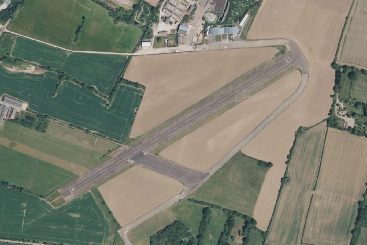
A2(POI77) to EGDH(EGDH)
Distance: 1.23NM Bearing: 76° 1 minutes
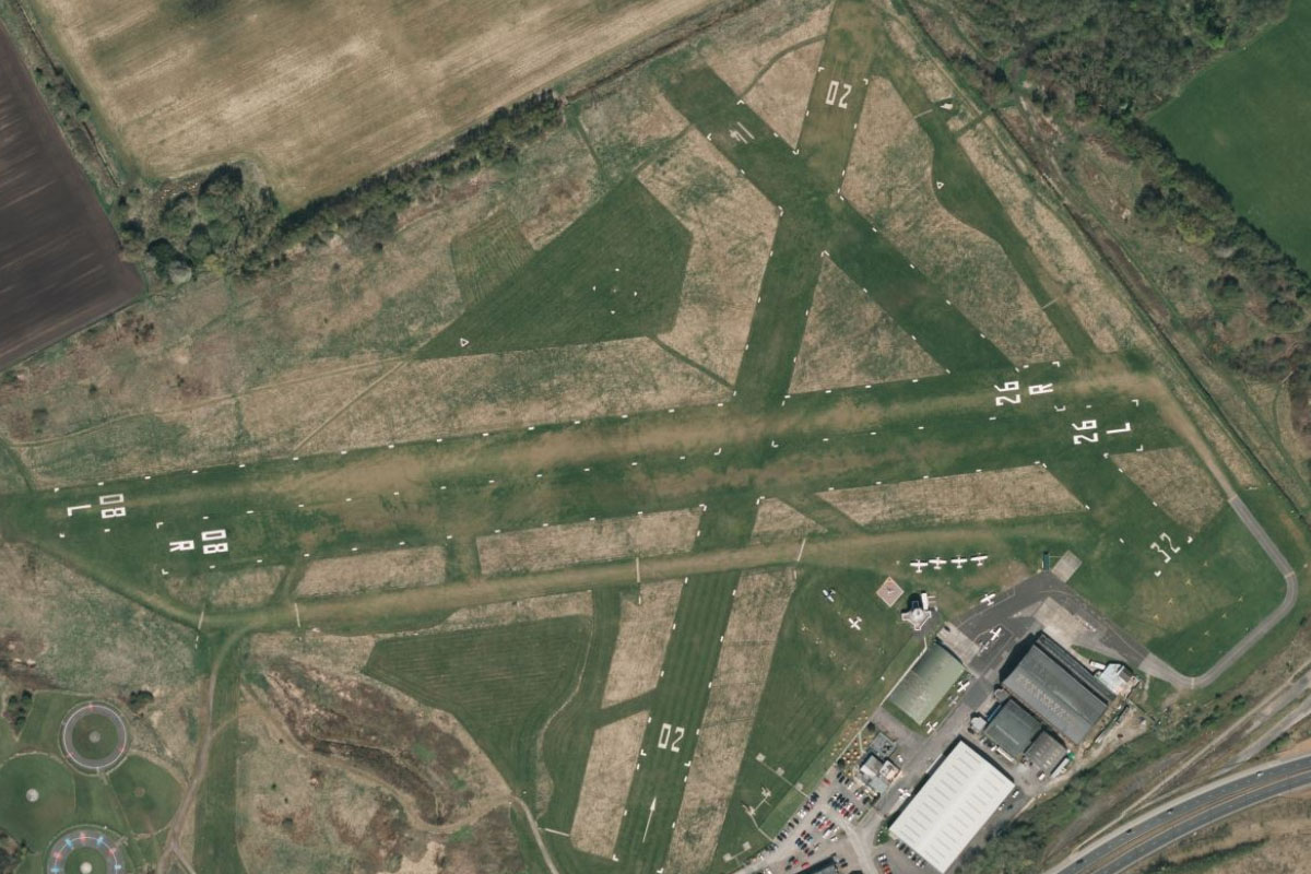
Just after passing the small Lydden Hill Racing Circuit on the right side of the road, it will turn briefly left and point you towards the grass airstrip of the Channel Gliding Club, a mile east of the road
Leg 19
Flying from EGDH
Leg Distance: 33.36 Approximate time at 125kts: 16 minutes.
EGDH(EGDH) to Dover(POI78)
Distance: 3.43NM Bearing: 154° 2 minutes
After takeoff, fly south to the town of Dover, a major ferry port near the narrowest stretch of the English Channel
Dover(POI78) to White Cliffs of Dover(POI79)
Distance: 3.1NM Bearing: 64° 1 minutes
From Dover, follow the coast east past the iconic chalk White Cliffs of Dover, which on a clear day can be seen from France
White Cliffs of Dover(POI79) to France(POI80)
Distance: 17.71NM Bearing: 135° 9 minutes
Fly southeast across the English Channel to reach the coast of France
France(POI80) to LFAC(LFAC)
Distance: 9.12NM Bearing: 77° 4 minutes
Fly east over the port town of Calais to the airport east of the town, the end of this stage of the tour and the first stop on the European mainland