Welcome to the majestic journey through Western Norway, a land of breathtaking fjords, awe-inspiring mountains, and picturesque landscapes. This tour will take you on an unforgettable adventure, starting from the vibrant capital city of Oslo and winding its way through the enchanting fjords and captivating scenery, culminating in the historic city of Trondheim. Venture deep into the heart of Western Norway, where the majestic Sognefjord awaits. Known as the King of the Fjords, Sognefjord is the longest and deepest fjord in Norway, and Geirangerfjord, which is one of Norway’s most popular tourist destinations and is a UNESCO world heritage site. Combined with the rugged western coastline, this stage will be one to remember.
Total Legs: 19 Total Distance: 1060 Total Time(125kts): 8 hours 28 minutes
Leg 1
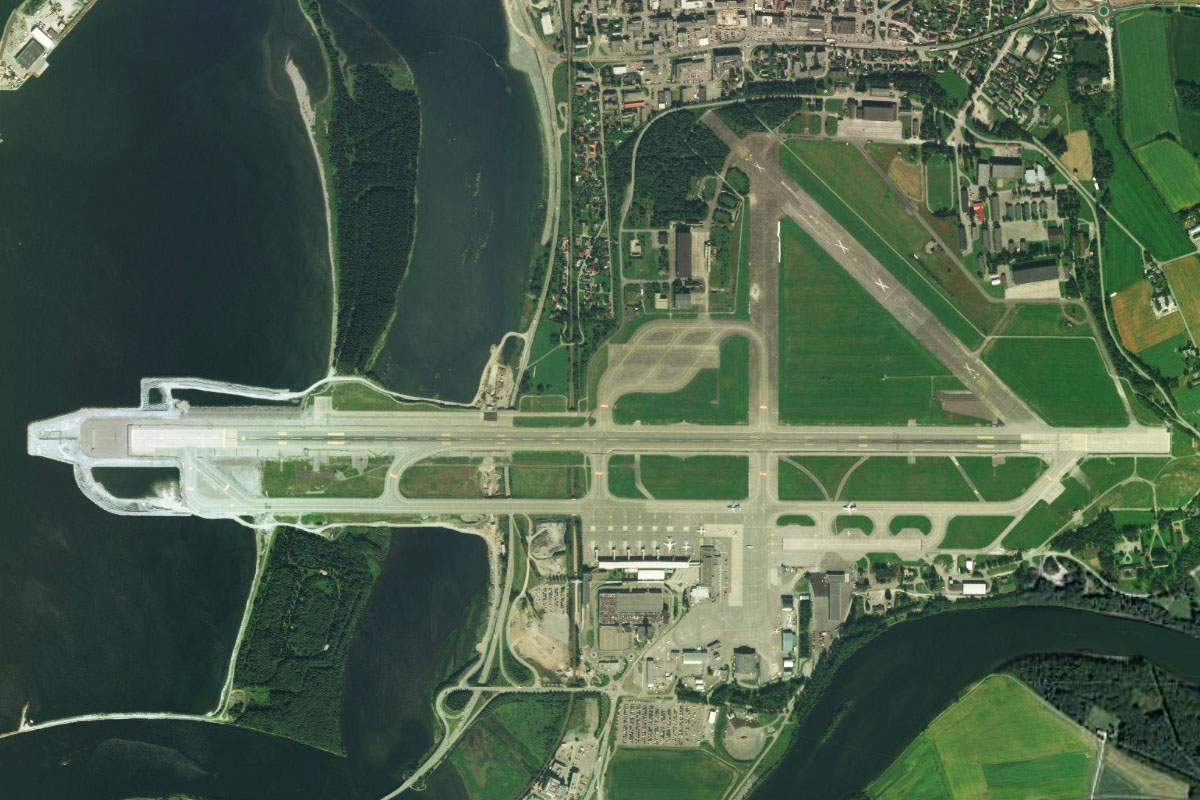
Flying from ENGM
Leg Distance: 43.68 Approximate time at 125kts: 21 minutes.
ENGM(ENGM) to Mjosa(POI1)
Distance: 13.04NM Bearing: 14° 6 minutes
After takeoff, fly runway heading north until you reach the southern tip of Mjøsa, Norway's largest lake
Mjosa(POI1) to Mjosa(POI2)
Distance: 13.68NM Bearing: 342° 7 minutes
Follow the lake north, then northwest as it curves around a mountain
Mjosa(POI2) to Skreia(POI3)
Distance: 5.74NM Bearing: 279° 3 minutes
Follow the small highway running along the western side of the lake as it heads west along the flat land north of the mountains to the small town of Skreia
Skreia(POI3) to Lena(POI4)
Distance: 3.63NM Bearing: 294° 2 minutes
Keep following the highway northwest to the nearby town of Lena
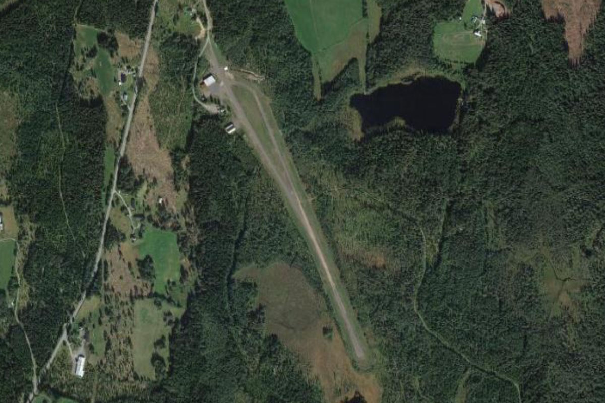
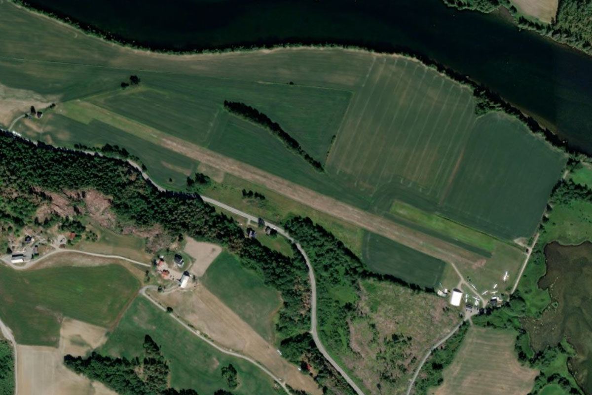
Lena(POI4) to ENRV(ENRV)
Distance: 7.59NM Bearing: 261° 4 minutes
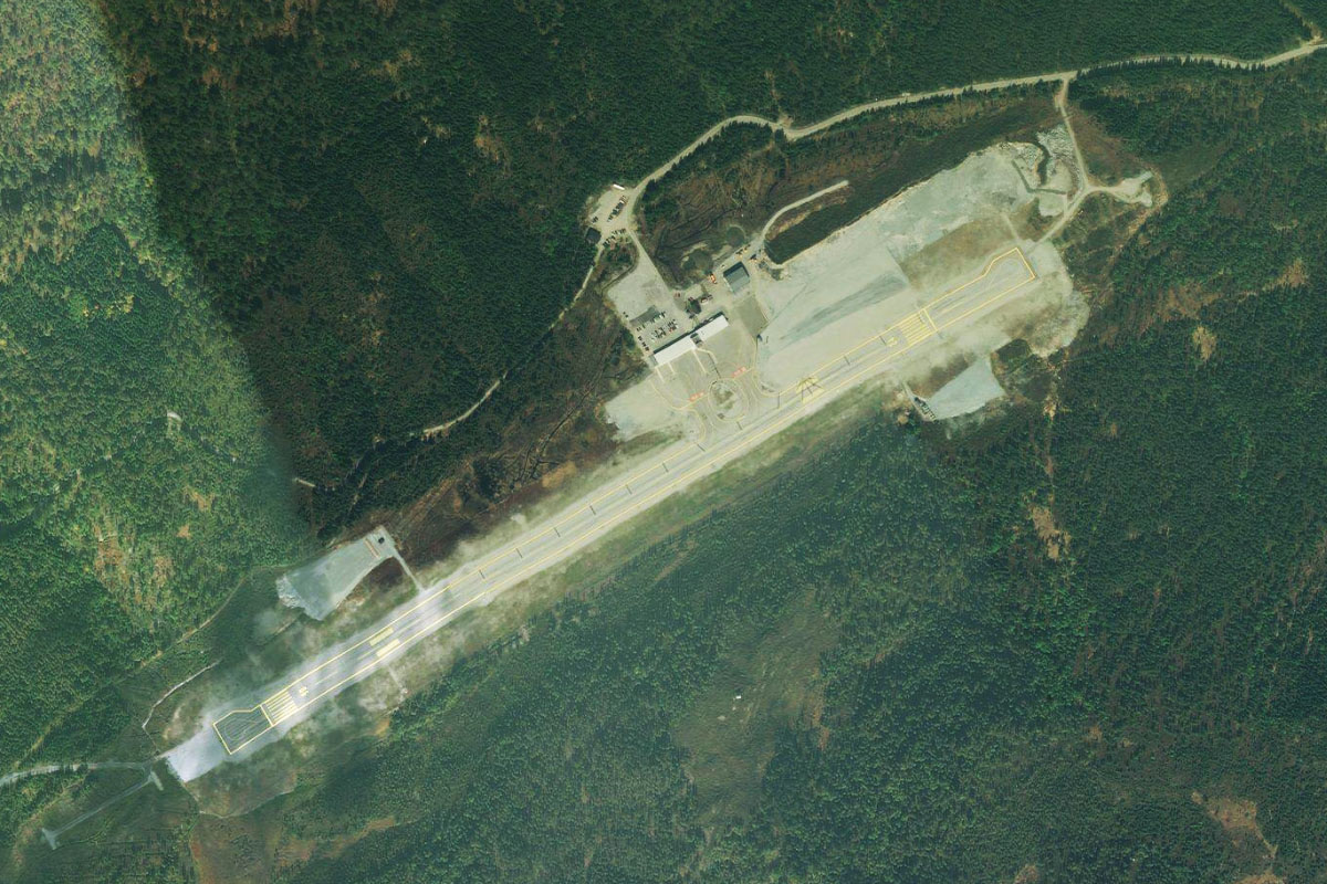
Fly west over the countryside to Reinsvoll Airfield, which lies at the base of a large hill west of the town of Reinsvoll
Leg 2
Flying from ENRV
Leg Distance: 37.74 Approximate time at 125kts: 18 minutes.
ENRV(ENRV) to Randsfjorden(POI5)
Distance: 6.39NM Bearing: 269° 3 minutes
Fly west over the nearby hills to Randsfjorden, Norway's fourth largest lake. This long, narrow lake is over 75km in length
Randsfjorden(POI5) to Randsfjorden(POI6)
Distance: 9.67NM Bearing: 183° 5 minutes
Follow the lake south
Randsfjorden(POI6) to Randsfjorden(POI7)
Distance: 4.51NM Bearing: 114° 2 minutes
The lake will make a sharp turn east before continuing south
Randsfjorden(POI7) to Jevnaker(POI8)
Distance: 14.36NM Bearing: 181° 7 minutes
Follow the lake to its southern tip near the town of Jevnaker
Jevnaker(POI8) to ENEG(ENEG)
Distance: 2.81NM Bearing: 222° 1 minutes
The airport is just southwest from the town
Leg 3
Flying from ENEG
Leg Distance: 54.29 Approximate time at 125kts: 26 minutes.
ENEG(ENEG) to Tyrifjorden(POI9)
Distance: 7.92NM Bearing: 212° 4 minutes
Fly southwest over the town of Hønefoss, where the river Storelva winds through the town towards Lake Tyri
Tyrifjorden(POI9) to Vikersund(POI10)
Distance: 12.48NM Bearing: 203° 6 minutes
Follow the western shore of the lake where it will narrow into a shallow valley and pass the town of Vikersund
Vikersund(POI10) to Hokksund(POI11)
Distance: 8.76NM Bearing: 190° 4 minutes
Continue south along the valley, following the Drammen River to the town of Hokksund where the valley opens out
Hokksund(POI11) to Kongsberg(POI12)
Distance: 10.14NM Bearing: 222° 5 minutes
From Hokksund, follow the highway heading southwest along another shallow valley past the northern tip of Eikeren lake to the town of Kongsberg. This picturesque historic mining town lies on the river Numedalslågen
Kongsberg(POI12) to Fjellstulfjellet(POI13)
Distance: 7.66NM Bearing: 245° 4 minutes
From the town fly southwest over the hills, passing the nearby ski resort, then across a valley towards another group of mountains beyond
Fjellstulfjellet(POI13) to Notodden(POI14)
Distance: 5.44NM Bearing: 228° 3 minutes
Fly southwest from the mountains, descending down to the town of Notodden, which sits near the northern tip of Heddalsvatnet Lake
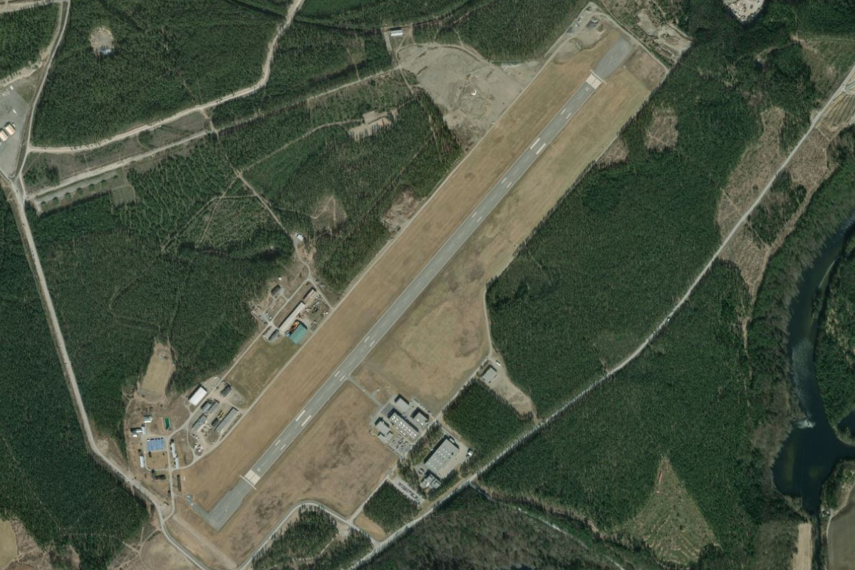
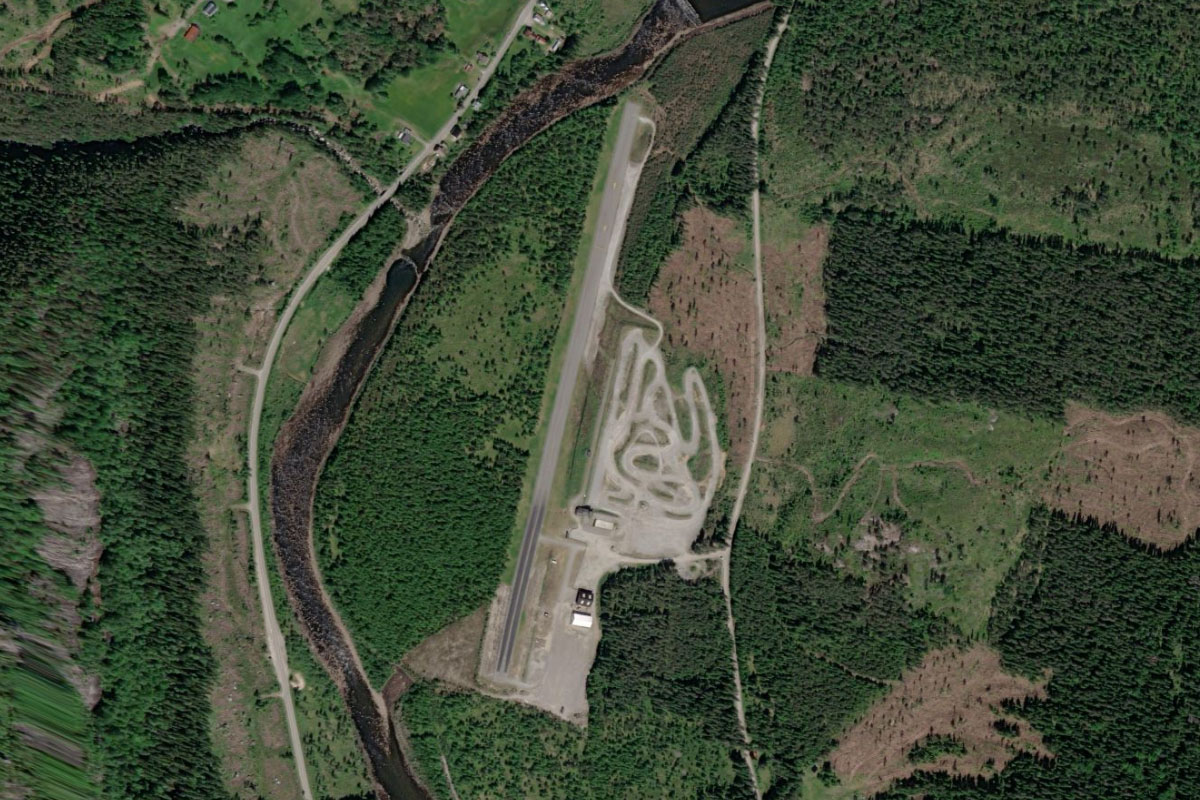
Notodden(POI14) to ENNO(ENNO)
Distance: 1.89NM Bearing: 264° 1 minutes
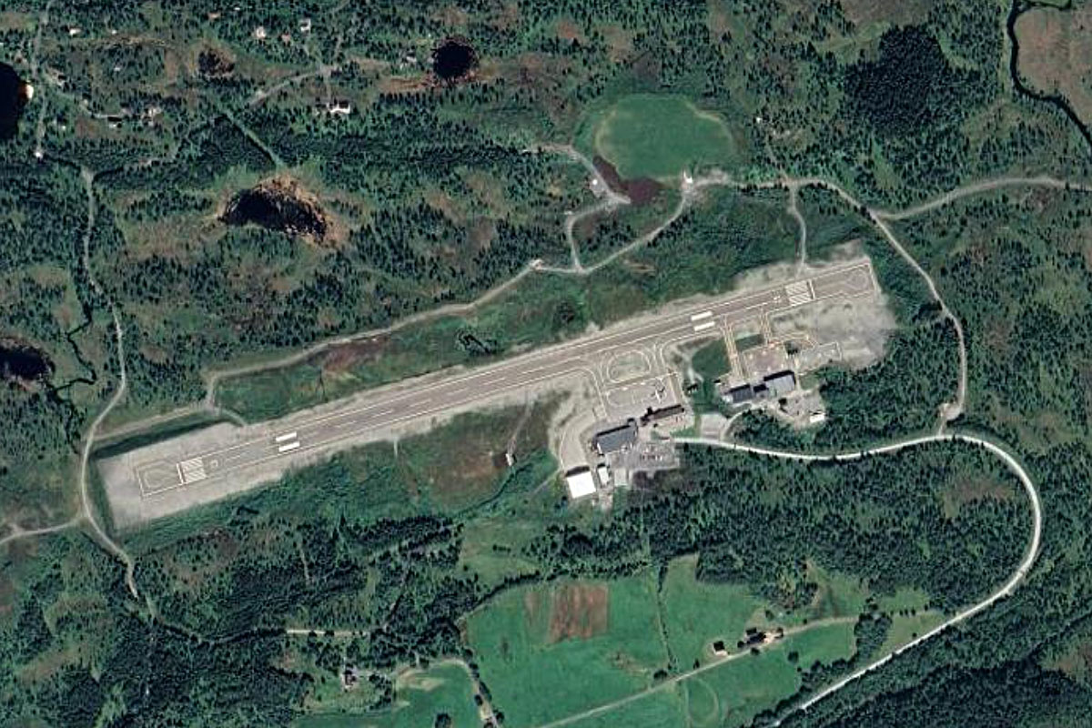
The airport is a mile west from the town at the tip of the lake. Near the airport is the town of Heddal, with its 800 year old stave church the main attraction
Leg 4
Flying from ENNO
Leg Distance: 48.65 Approximate time at 125kts: 23 minutes.
ENNO(ENNO) to Heddola(POI15)
Distance: 7.26NM Bearing: 288° 3 minutes
After takeoff, follow the Heddøla river west along the valley
Heddola(POI15) to Heddola(POI16)
Distance: 5.12NM Bearing: 271° 2 minutes
When the valley opens out to a junction of other valleys, keep following the river west where it will soon lead you to a narrower valley
Heddola(POI16) to Hjartdal(POI17)
Distance: 5.32NM Bearing: 255° 3 minutes
Keep following the river west through the narrow valley where it will meet a small lake. Then follow the road leading further along the valley
Hjartdal(POI17) to Svartdal(POI18)
Distance: 3.08NM Bearing: 248° 1 minutes
The road will head southwest through an even narrower valley
Svartdal(POI18) to Artun(POI19)
Distance: 4.58NM Bearing: 141° 2 minutes
When it reaches a clearing, the road will turn sharply southeast and take you along another picturesque valley
Artun(POI19) to Seljord(POI20)
Distance: 2.31NM Bearing: 178° 1 minutes
As you pass the small lake in the valley, turn south to the town of Seljord, on the northwestern tip of Seljord Lake
Seljord(POI20) to Seljordsvatnet(POI21)
Distance: 7.23NM Bearing: 111° 3 minutes
Follow the lake southeast, then east to the other end
Seljordsvatnet(POI21) to Bo(POI22)
Distance: 6.65NM Bearing: 97° 3 minutes
From the lake, continue southeast along the valley until you reach the town of Bø. Just north from the town is one of Europe's largest water parks
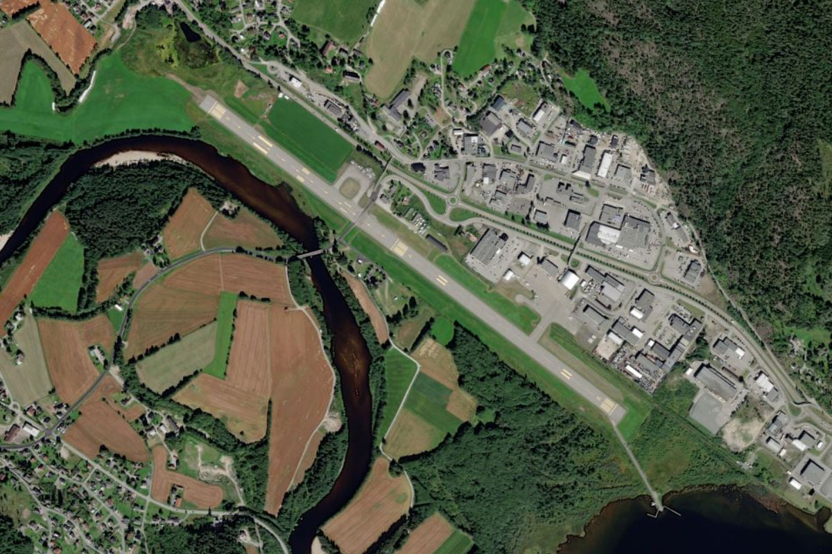
Bo(POI22) to ENLU(ENLU)
Distance: 7.1NM Bearing: 160° 3 minutes
As soon as you reach Bø, turn south and follow the highway south along the western edge of a mountain range to the town of Lunde. The airfield is on the town's eastern edge near the river
Leg 5
Flying from ENLU
Leg Distance: 72.27 Approximate time at 125kts: 35 minutes.
ENLU(ENLU) to Flavatn(POI23)
Distance: 6.87NM Bearing: 269° 3 minutes
After takeoff, fly west over the nearby town of Lunde and the mountains beyond to reach Flåvatn, the eastern most of a series of connected lake that are part of the Telemark Canal
Flavatn(POI23) to Flavatn(POI24)
Distance: 6.3NM Bearing: 266° 3 minutes
Fly to the western end of the lake
Flavatn(POI24) to Kviteseidvatnet(POI25)
Distance: 5.83NM Bearing: 301° 3 minutes
From the end of the lake, follow the narrow channel northwest to the next lake, Kviteseidvatnet, then fly along the lake to the small island near its western end
Kviteseidvatnet(POI25) to Dalen(POI26)
Distance: 16.97NM Bearing: 283° 8 minutes
From the island you will see two paths ahead. Take the left path and follow the long, narrow lake Bandak all the way west to the town of Dalen at its western end
Dalen(POI26) to Froland(POI27)
Distance: 5.48NM Bearing: 264° 3 minutes
From Dalen, follow the narrow valley west as you gain altitude
Froland(POI27) to Borsae(POI28)
Distance: 3.64NM Bearing: 213° 2 minutes
When you are high enough to leave the valley, fly southwest to the nearby lake, Borsæ, which sits on the higher terrain
Borsae(POI28) to Store Bjornevatn(POI29)
Distance: 6.67NM Bearing: 242° 3 minutes
From the center of the lake, follow a group of small lakes southwest along a valley to reach another long, narrow lake
Store Bjornevatn(POI29) to Store Bjornevatn(POI30)
Distance: 2.25NM Bearing: 247° 1 minutes
Follow the lake as it curves around to the southwest. You should also see a highway running along the northern edge of the lake
Store Bjornevatn(POI30) to Otra(POI31)
Distance: 5.57NM Bearing: 182° 3 minutes
Follow the highway south as it heads into the valley of the Otra River
Otra(POI31) to Rysstad(POI32)
Distance: 9.08NM Bearing: 165° 4 minutes
The river will make a sharp left turn before continuing south, eventually leading you to the town of Rysstad
Rysstad(POI32) to ENVE(ENVE)
Distance: 3.61NM Bearing: 168° 2 minutes
Keep following the river as it turns south and leads you to Valle Airfield in the middle of the valley
Leg 6
Flying from ENVE
Leg Distance: 56.99 Approximate time at 125kts: 27 minutes.
ENVE(ENVE) to Otra(POI33)
Distance: 3.19NM Bearing: 176° 2 minutes
After takeoff, follow the valley south
Otra(POI33) to Otra(POI34)
Distance: 3.3NM Bearing: 84° 2 minutes
Keep following the river as it turns to the east
Otra(POI34) to Araksfjorden(POI35)
Distance: 4NM Bearing: 150° 2 minutes
The river will turn back to the southeast, then soon widen into the 20 mile long Araksfjorden
Araksfjorden(POI35) to Byglandsfjord(POI36)
Distance: 15.36NM Bearing: 166° 7 minutes
Keep following the fjord south all the way to where it narrows again at the town of Byglandsfjord
Byglandsfjord(POI36) to Evje(POI37)
Distance: 5.14NM Bearing: 178° 2 minutes
As the valley flattens out, keep following the river south to the town of Evje
Evje(POI37) to Kilefjorden(POI38)
Distance: 10.17NM Bearing: 179° 5 minutes
Stay with the river as it continues south and widens into the Kilefjorden
Kilefjorden(POI38) to Venessla(POI39)
Distance: 10.39NM Bearing: 140° 5 minutes
At the southern end of Kilefjorden, fly southeast across land until you reach the large town of Venessla
Venessla(POI39) to ENCN(ENCN)
Distance: 5.44NM Bearing: 137° 3 minutes
Keep flying southeast to reach Kjevik Airport which sits on the shore of Topdalsfjorden
Leg 7
Flying from ENCN
Leg Distance: 53.89 Approximate time at 125kts: 26 minutes.
ENCN(ENCN) to Kristiansand(POI40)
Distance: 4.45NM Bearing: 215° 2 minutes
Fly southwest to explore the nearby city of Kristiansand. Founded by King Christian IV in the 17th century, the city is a popular tourist destination in the summer and features a large zoo and amusement park and downtown city beach. East of the city is the Sør Arena, home of the IK Start football team
Kristiansand(POI40) to Flekkeroy(POI41)
Distance: 4.24NM Bearing: 178° 2 minutes
From the city, fly south to the island of Flekkerøy. A road tunnel connects the island's roads to the mainland
Flekkeroy(POI41) to Oksoy-Ryvingen(POI42)
Distance: 13.06NM Bearing: 247° 6 minutes
Follow the coastline around to the southwest and explore the many islands of the Oksøy-Ryvingen landscape conservation area, which covers the outer archipelago between Kristiansand and Mandal
Oksoy-Ryvingen(POI42) to Lindesnes(POI43)
Distance: 17.12NM Bearing: 269° 8 minutes
Keep following the coastline west to the rocky, windswept Lindesnes Peninsula, which is considered the southernmost point of mainland Norway despite a canal separating it from the mainland
Lindesnes(POI43) to ENLI(ENLI)
Distance: 15.02NM Bearing: 287° 7 minutes
Keep following the coastline west until you reach Lista Airport, on a large plain next to the shore
Leg 8
Flying from ENLI
Leg Distance: 62.52 Approximate time at 125kts: 30 minutes.
ENLI(ENLI) to Hidra(POI44)
Distance: 7.34NM Bearing: 347° 4 minutes
After takeoff, head north along the coast to Hidra island. This mountainous island has its own fjord, which nearly divides it in half
Hidra(POI44) to Midbrodoya(POI45)
Distance: 25.69NM Bearing: 297° 12 minutes
Follow the rocky coastline northwest, where the land will become less mountainous before you pass a large wind farm atop the coastal hills. West from here is the town of Egersund and the island of Midbrødøya
Midbrodoya(POI45) to Varhaug(POI46)
Distance: 15.37NM Bearing: 321° 7 minutes
Keep following the coastline northwest, where the hilly ground will make way for flat farmland
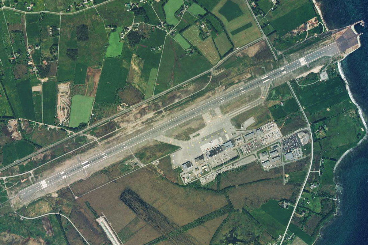
Varhaug(POI46) to ENZV(ENZV)
Distance: 14.12NM Bearing: 3° 7 minutes
Fly north along the coast, passing by the large coastal lake of Orrevatnet, before reaching Sola Airport, which serves the city of Stavanger to its northeast
Leg 9
Flying from ENZV
Leg Distance: 76.62 Approximate time at 125kts: 37 minutes.
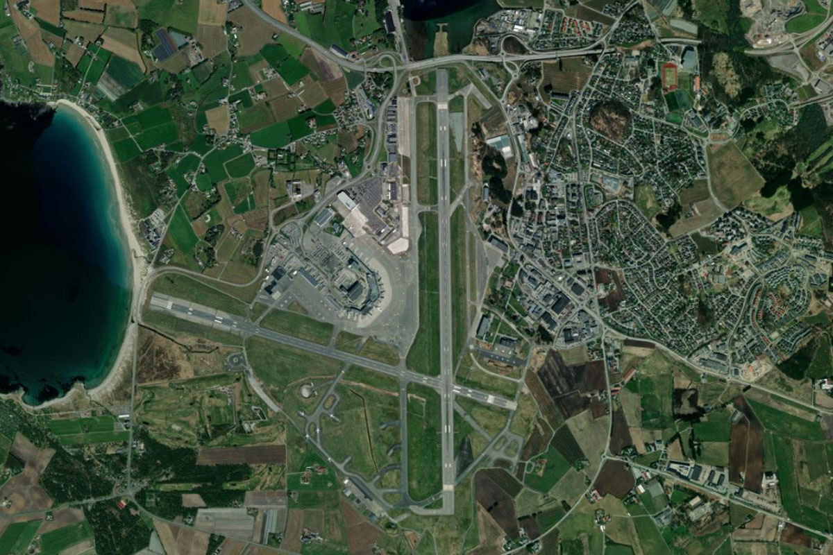
ENZV(ENZV) to Stavanger(POI47)
Distance: 6.25NM Bearing: 27° 3 minutes
Founded in the year 1125, Stavanger is the fourth largest city in Norway, and known as the oil capital of the country. It is also a popular summer tourist destination, and is used by cruise ships as a stop on route to the Norwegian fjords
Stavanger(POI47) to Hogsfjorden(POI48)
Distance: 6.15NM Bearing: 90° 3 minutes
Fly east from the city to reach the northern entrance to Høgsfjorden, a 14 mile long fjord running to the southeast
Hogsfjorden(POI48) to Lylesfjord(POI49)
Distance: 5.68NM Bearing: 129° 3 minutes
Fly southeast along the fjord for a few miles until you see the narrow entrance to Lylesfjord branching off to the northeast
Lylesfjord(POI49) to Preikestolen(POI50)
Distance: 6.12NM Bearing: 36° 3 minutes
Follow the fjord northeast, passing over the Lylesfjord Bridge. A few miles east from the bridge is Preikestolen, also known as Pulpit Rock, a sheer granite cliff which provides a natural lookout to the stunning scenery below
Preikestolen(POI50) to Songestand(POI51)
Distance: 4.52NM Bearing: 57° 2 minutes
Continue northeast along the fjord for a few miles. On the northern side you will see a small marina, which will be your exit from the fjord
Songestand(POI51) to Songestand(POI52)
Distance: 2.23NM Bearing: 61° 1 minutes
From the marina, fly towards to a winding road which climbs northeast out of the valley
Songestand(POI52) to Litla Sandvatnet(POI53)
Distance: 3.3NM Bearing: 19° 2 minutes
Follow the road as it climbs north to a small lake
Litla Sandvatnet(POI53) to Tysdalsvatn(POI54)
Distance: 7.05NM Bearing: 297° 3 minutes
The road will run between two lakes as it turns to the northwest across the high ground, before dropping down into a valley and passing the western tip of Tydalsvatn fjord
Tysdalsvatn(POI54) to Ardal(POI55)
Distance: 1.99NM Bearing: 270° 1 minutes
A river running along the center of the valley will lead you west to another fjord, Årdalsfjorden
Ardal(POI55) to Helgoy(POI56)
Distance: 4.46NM Bearing: 262° 2 minutes
Follow the fjord west until you reach the island of Helgøy on the north side of the fjord's entrance
Helgoy(POI56) to Boknafjellet(POI57)
Distance: 18.98NM Bearing: 283° 9 minutes
Fly west over two large islands and across the wide open Boknafjord towards the distant mountain peak of Boknafjellet, which is on the island of Vestre Bokn
Boknafjellet(POI57) to Kopervik(POI58)
Distance: 5.43NM Bearing: 314° 3 minutes
From the peak, turn northwest and cross the Karmsund Strait to the town of Kopervik on the island of Karmøy
Kopervik(POI58) to ENHD(ENHD)
Distance: 4.46NM Bearing: 318° 2 minutes
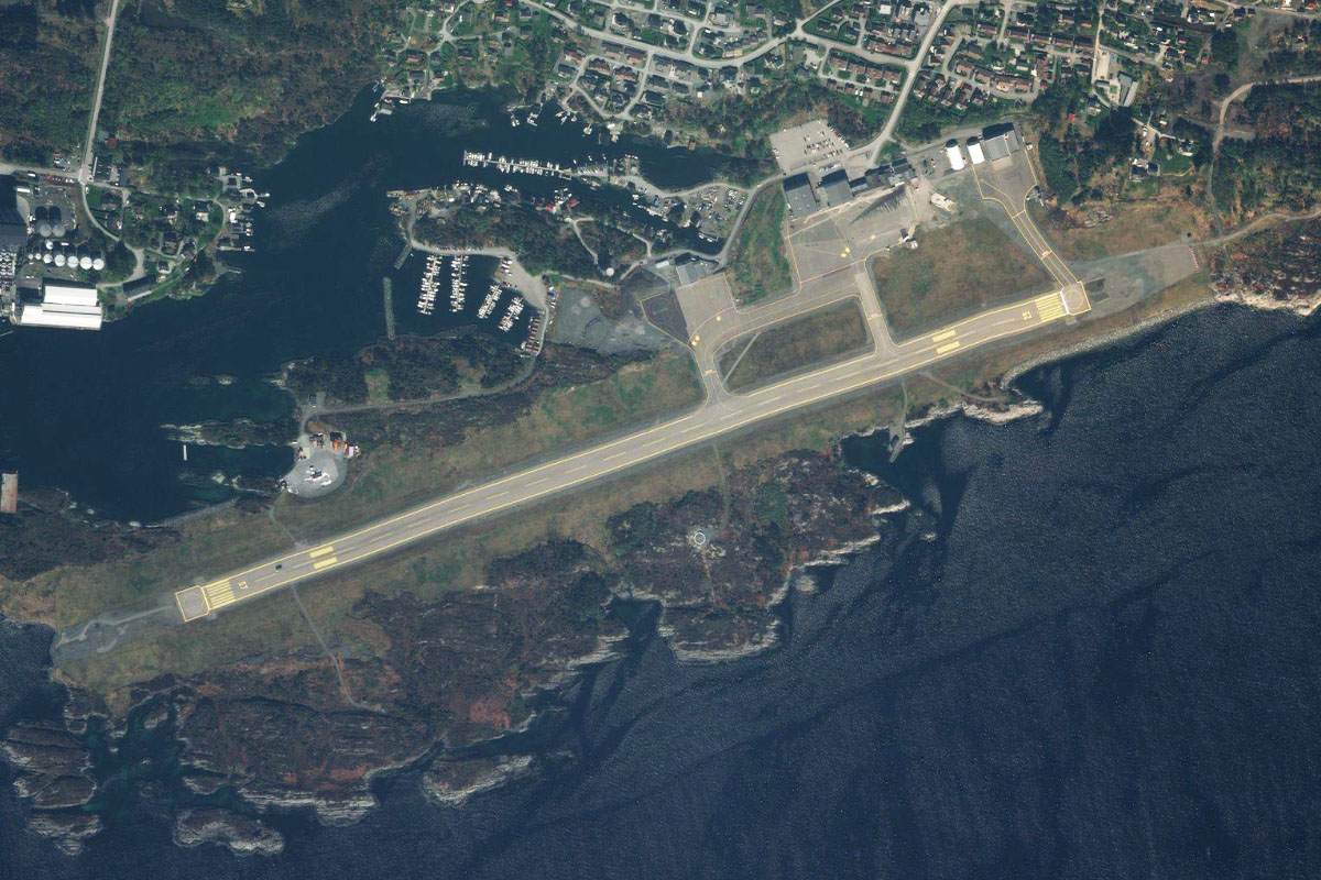
Continue northwest to Karmoy Airport, which is the main airport for the nearby city of Haugesund to the north
Leg 10
Flying from ENHD
Leg Distance: 57.82 Approximate time at 125kts: 28 minutes.
ENHD(ENHD) to Haugesund(POI59)
Distance: 4.37NM Bearing: 16° 2 minutes
After takeoff, fly north for a closer look at the city of Haugesund, with its pink Town Hall and Risøy bridge being popular landmarks
Haugesund(POI59) to Bomlafjorden(POI60)
Distance: 9.08NM Bearing: 350° 4 minutes
From the city, follow the coastline north to the mouth of Bømlafjorden, part of a larger fjord system running northeast
Bomlafjorden(POI60) to Siggjo(POI61)
Distance: 11.52NM Bearing: 9° 6 minutes
Continue north along the western edge of the fjord towards the prominent mountain peak, Siggjo
Siggjo(POI61) to Alforo(POI62)
Distance: 7.56NM Bearing: 347° 4 minutes
Continue north past the mountain peak, then follow the waterway to the long, rocky island of Ålforo which runs along the centre of the channel
Alforo(POI62) to Huftaroy(POI63)
Distance: 10.06NM Bearing: 1° 5 minutes
Fly north to the island of Huftarøy, which is in a group of islands that shield the Bjornafjorden from the ocean
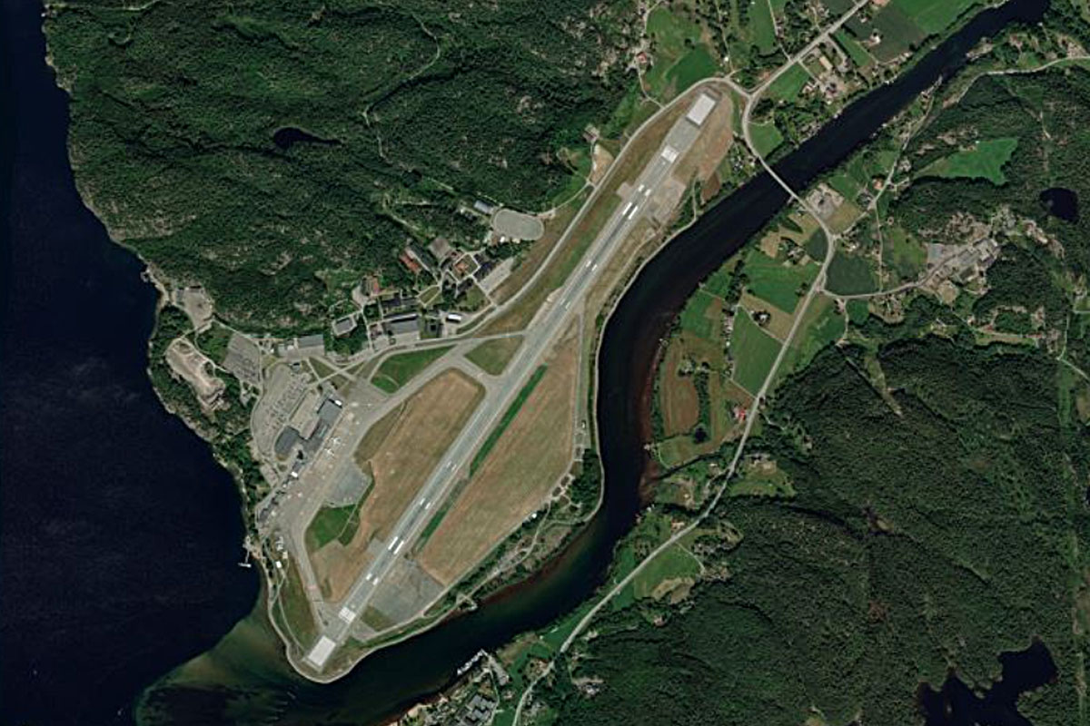
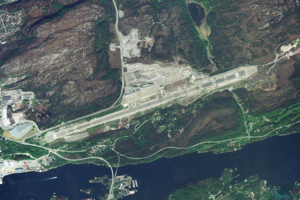
Huftaroy(POI63) to ENBR(ENBR)
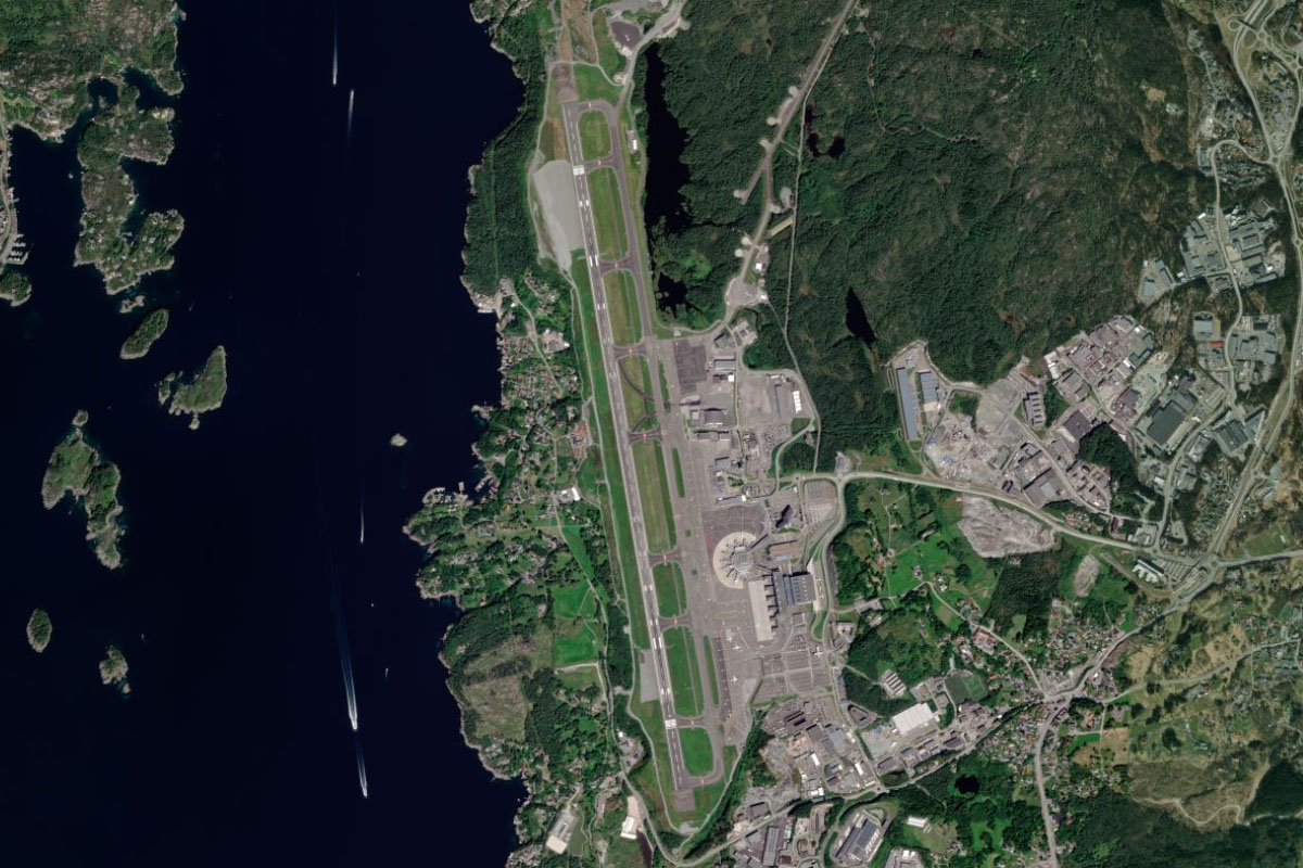
Distance: 15.23NM Bearing: 352° 7 minutes
Continue north from the island, running along the eastern edge of a waterway that will lead you to Bergen Airport, the second busiest in Norway
Leg 11
Flying from ENBR
Leg Distance: 50.41 Approximate time at 125kts: 24 minutes.
ENBR(ENBR) to Bergen(POI64)
Distance: 7.44NM Bearing: 22° 4 minutes
After takeoff, fly northeast over the nearby hills to reach Bergen. Founded nearly 1000 years ago, Bergen is Norway's second largest city. Notable landmarks include Brann Stadium south of the city, and Bryggen, a group of heritage listed buildings next to the city's northern harbor
Bergen(POI64) to Sorfjorden(POI65)
Distance: 12.14NM Bearing: 71° 6 minutes
After passing the city, turn towards the east and fly over the nearby hills to Sørfjorden, a narrow 30 kilometer long fjord. Follow the fjord east
Sorfjorden(POI65) to Sorfjorden(POI66)
Distance: 5.1NM Bearing: 359° 2 minutes
Follow the fjord as it turns north, then look for a narrow opening to the northeast
Sorfjorden(POI66) to Vosso(POI67)
Distance: 5.78NM Bearing: 38° 3 minutes
Fly northeast along the narrow valley until you reach the Vosso river
Vosso(POI67) to Evanger(POI68)
Distance: 7.86NM Bearing: 74° 4 minutes
Follow the river, including a narrow section joining two lakes, to the small town of Evanger at the eastern tip of Evanger lake
Evanger(POI68) to Vangsvatnet(POI69)
Distance: 7.62NM Bearing: 104° 4 minutes
Follow the river through another narrow valley to reach another lake, then follow it east
Vangsvatnet(POI69) to Vossvangen(POI70)
Distance: 2.29NM Bearing: 60° 1 minutes
The lake will widen and turn northeast, leading you to the large town of Vossvangen
Vossvangen(POI70) to ENBM(ENBM)
Distance: 2.18NM Bearing: 72° 1 minutes
Fly east over the town to Voss Airport, 2 miles away
Leg 12
Flying from ENBM
Leg Distance: 48.24 Approximate time at 125kts: 23 minutes.
ENBM(ENBM) to Urdland(POI71)
Distance: 3.18NM Bearing: 41° 2 minutes
Fly east to meet the small river, then follow it northeast with the railway line and road along the valley
Urdland(POI71) to Raundalselva(POI72)
Distance: 6.81NM Bearing: 91° 3 minutes
At a valley junction, follow the river east along with the railway and the road as they wind along the valley. The river is known for its whitewater rafting in this area.
Raundalselva(POI72) to Raundalselva(POI73)
Distance: 1.06NM Bearing: 19° 1 minutes
Stay with the river as it turns briefly north along with the road and rail line
Raundalselva(POI73) to Langavatnet(POI74)
Distance: 4.49NM Bearing: 73° 2 minutes
The river will turn back to the east and run along a wide valley. Where the river forks and heads into the higher terrain, take the right fork, following it east along a lower valley. Then as you approach a mountain peak at another fork, turn northeast towards a narrow lake
Langavatnet(POI74) to Jernhusvatnet(POI75)
Distance: 2.76NM Bearing: 46° 1 minutes
Fly northeast along the valley, with the railway running along the left side. Continue climbing along with the middle fork of the river to a small lake
Jernhusvatnet(POI75) to Flamselvi(POI76)
Distance: 2.38NM Bearing: 45° 1 minutes
Continue northeast over the mountain, before making a steep drop into the river valley beyond
Flamselvi(POI76) to Flam(POI77)
Distance: 6.25NM Bearing: 1° 3 minutes
Follow the steep, narrow Flåm river valley north until you reach the town of Flåm on the southern tip of the Aurlandsfjorden
Flam(POI77) to Aurlandsfjorden(POI78)
Distance: 4.72NM Bearing: 17° 2 minutes
Fly north along the fjord
Aurlandsfjorden(POI78) to Aurlandsfjorden(POI79)
Distance: 4.89NM Bearing: 309° 2 minutes
Continue along the fjord as it turns northwest
Aurlandsfjorden(POI79) to Sognefjord(POI80)
Distance: 6.47NM Bearing: 345° 3 minutes
Fly north to join the Sognefjord, Norway's largest and deepest fjord
Sognefjord(POI80) to ENSG(ENSG)
Distance: 5.23NM Bearing: 44° 3 minutes
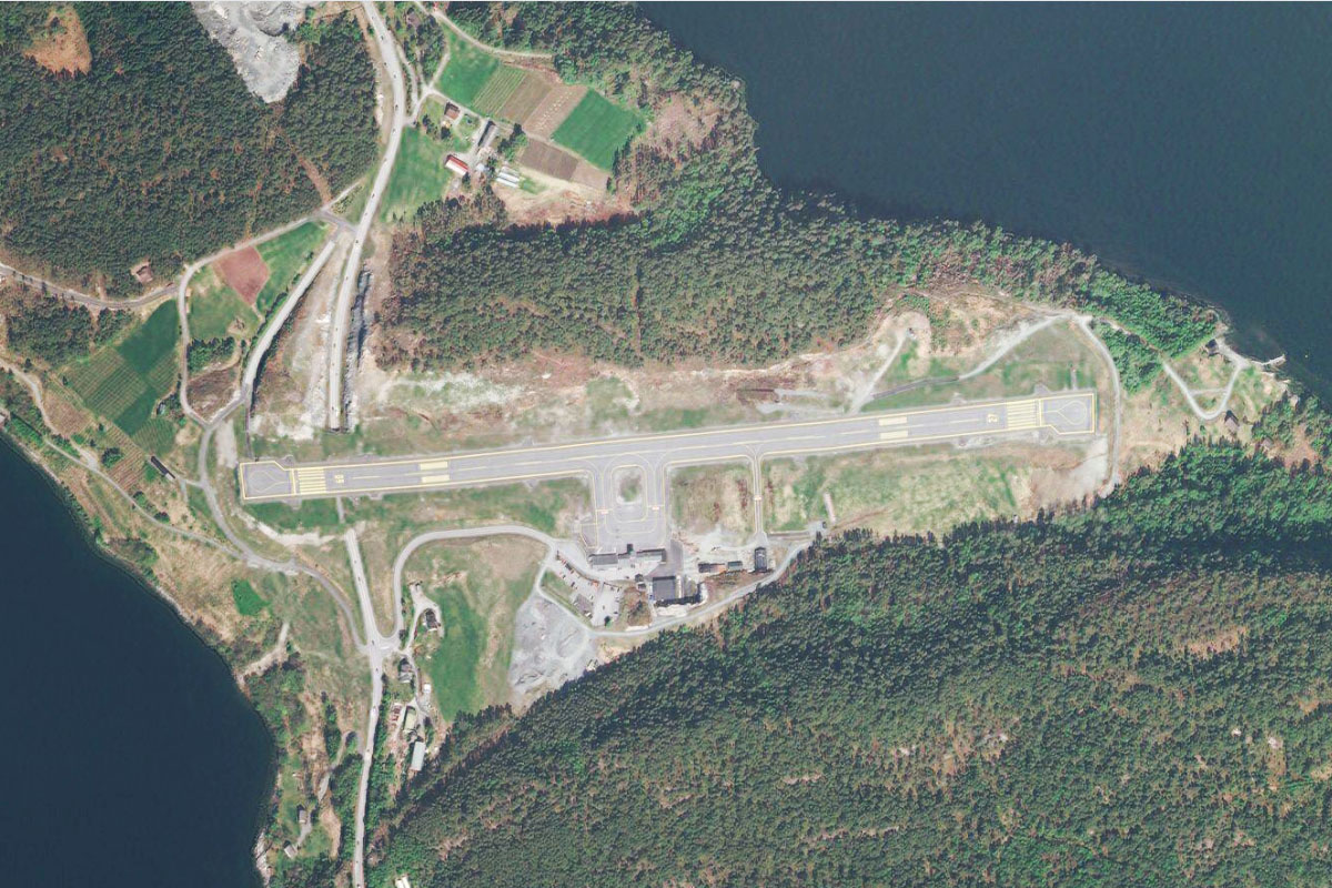
Turning northeast, look for Haukasen Airport, sitting on a shelf halfway up the northern side of the fjord
Leg 13
Flying from ENSG
Leg Distance: 58.17 Approximate time at 125kts: 28 minutes.
ENSG(ENSG) to Sognefjord(POI81)
Distance: 7.22NM Bearing: 241° 3 minutes
After takeoff, head south to the fjord then follow it west
Sognefjord(POI81) to Sognefjord(POI82)
Distance: 9.43NM Bearing: 297° 5 minutes
Keep following the fjord as it turns briefly north before continuing west
Sognefjord(POI82) to Sognefjord(POI83)
Distance: 6.52NM Bearing: 220° 3 minutes
Turn southwest with the fjord
Sognefjord(POI83) to Sognefjord(POI84)
Distance: 19.25NM Bearing: 275° 9 minutes
Following the fjord west, you will pass a series of smaller fjords branching off to the north. When you reach the third one of these, turn north and follow it
Sognefjord(POI84) to Okslandsvatnet(POI85)
Distance: 8.73NM Bearing: 0° 4 minutes
Fly north along the fjord, which will then narrow to a valley with a small lake at its northern end
Okslandsvatnet(POI85) to Gaula(POI86)
Distance: 3.1NM Bearing: 307° 1 minutes
From the northern end of the lake, fly northwest along another valley
Gaula(POI86) to ENBL(ENBL)
Distance: 3.92NM Bearing: 358° 2 minutes
As the valley opens out, fly north to nearby Bringeland Airport
Leg 14
Flying from ENBL
Leg Distance: 29.72 Approximate time at 125kts: 14 minutes.
ENBL(ENBL) to Fordefjorden(POI87)
Distance: 5.71NM Bearing: 314° 3 minutes
After takeoff, head to the northern side of the nearby mountain peaks and fly northwest to reach another fjord, Førde
Fordefjorden(POI87) to Svanoy(POI88)
Distance: 15NM Bearing: 275° 7 minutes
Follow the fjord west until you reach the island of Svanøy at the fjord's western entrance
Svanoy(POI88) to Askrova(POI89)
Distance: 4.58NM Bearing: 289° 2 minutes
Continue northwest to the nearby island, Askrova
Askrova(POI89) to ENFL(ENFL)
Distance: 4.43NM Bearing: 26° 2 minutes
From Askrova, fly north to Florø Airport, which is on the island of Florelandet along with the city of Florø. It is the most western town on the mainland Scandinavian Peninsula
Leg 15
Flying from ENFL
Leg Distance: 37.15 Approximate time at 125kts: 18 minutes.
ENFL(ENFL) to Brandsoy(POI90)
Distance: 7.56NM Bearing: 70° 4 minutes
After takeoff, fly east (runway heading) and cross to the northern side of the narrow isthmus
Brandsoy(POI90) to Sunndalsvatnet(POI91)
Distance: 8.69NM Bearing: 69° 4 minutes
Continue east along a long, narrow valley populated by adjoining lakes
Sunndalsvatnet(POI91) to Storevatnet(POI92)
Distance: 4.57NM Bearing: 80° 2 minutes
At the eastern and of the lakes, climb east over a mountain pass to reach another lake on the rocky higher ground
Storevatnet(POI92) to Hyen(POI93)
Distance: 6.79NM Bearing: 51° 3 minutes
As you pass the lake, turn north towards another valley, which will turn northeast and lead you the village of Hyen on the southern tip of Hyefjorden
Hyen(POI93) to Nordfjord(POI94)
Distance: 6.38NM Bearing: 18° 3 minutes
Follow the fjord to its northern end
Nordfjord(POI94) to ENSD(ENSD)
Distance: 3.16NM Bearing: 101° 2 minutes
As you reach the northern end of the fjord, follow the peninsula around to the east, then cross the mouth of the next fjord to the picturesque Anda Airport
Leg 16
Flying from ENSD
Leg Distance: 96.17 Approximate time at 125kts: 46 minutes.
ENSD(ENSD) to Innvikfjorden(POI95)
Distance: 6.1NM Bearing: 76° 3 minutes
Fly east along Innvikfjorden
Innvikfjorden(POI95) to Innvikfjorden(POI96)
Distance: 5.65NM Bearing: 105° 3 minutes
Continue southeast along the fjord, whose beautiful scenery makes it a popular cruise ship route
Innvikfjorden(POI96) to Faleidfjorden(POI97)
Distance: 5.19NM Bearing: 36° 2 minutes
Follow the fjord system northeast
Faleidfjorden(POI97) to Hornindalsvatnet(POI98)
Distance: 6.29NM Bearing: 304° 3 minutes
As the fjord turns east, turn northwest and fly along a valley to reach Hornindalsvatnet, Europe's deepest lake at over 500 meters deep
Hornindalsvatnet(POI98) to Grodas(POI99)
Distance: 10.4NM Bearing: 58° 5 minutes
Turn right and head to the eastern tip of the lake, then follow the wide valley northeast
Grodas(POI99) to Bjornstigfjellet(POIA0)
Distance: 2.56NM Bearing: 18° 1 minutes
The valley will turn briefly north, leading to a junction
Bjornstigfjellet(POIA0) to Sunnylsfjorden(POIA1)
Distance: 4.42NM Bearing: 56° 2 minutes
Turn northeast at the valley junction, which will take you past the town of Hellesylt to Sunnylsfjord. Fly briefly northeast along the fjord to its junction with Geirangerfjord, which branches off to the east
Sunnylsfjorden(POIA1) to Geirangerfjorden(POIA2)
Distance: 6.74NM Bearing: 84° 3 minutes
Follow Geirangerfjord as it curves it's way east. This fjord is one of Norway's most popular tourist destinations and is a UNESCO world heritage site
Geirangerfjorden(POIA2) to Storfjorden(POIA3)
Distance: 9.46NM Bearing: 355° 5 minutes
A couple of miles from the eastern end of the fjord, you will see a road climbing the north side. Turn north and climb with it to reach a high valley heading north. Follow the valley all the way to another fjord, Storfjorden
Storfjorden(POIA3) to Stranda(POIA4)
Distance: 6.22NM Bearing: 286° 3 minutes
Follow the fjord west. As it turns northwest you will see the town of Stranda on the western shore. This popular tourist town is also known for its nearby ski areas
Stranda(POIA4) to Storfjorden(POIA5)
Distance: 9.39NM Bearing: 338° 5 minutes
Follow the fjord north
Storfjorden(POIA5) to Alesund(POIA6)
Distance: 17.74NM Bearing: 270° 9 minutes
As the fjord turns gradually southwest, fly west across a landscape of long narrow peninsulas and islands to the large port town of Ålesund
Alesund(POIA6) to ENAL(ENAL)
Distance: 6.01NM Bearing: 332° 3 minutes
A few miles northwest of Ålesund is Vigra Island on the edge of the Norwegian Sea. Ålesund Airport is the island's main feature
Leg 17
Flying from ENAL
Leg Distance: 58.67 Approximate time at 125kts: 28 minutes.
ENAL(ENAL) to Lepsoya(POIA7)
Distance: 3.81NM Bearing: 22° 2 minutes
After takeoff, fly north to the nearby island of Lepsøya
Lepsoya(POIA7) to Haroya(POIA8)
Distance: 11.22NM Bearing: 41° 5 minutes
Continue northeast over two more hilly islands and a flat island before reaching the island of Harøya, the largest in the group. A series of road bridges and tunnels connects these islands to the mainland
Haroya(POIA8) to Bud(POIA9)
Distance: 15.44NM Bearing: 50° 7 minutes
Continue northeast across the large bay entrance to reach the peninsula on the other side. The town of Bud is on the low land at the peninsula's tip
Bud(POIA9) to Sjurvarden(POIAA)
Distance: 8.82NM Bearing: 52° 4 minutes
Follow the coast northeast towards the 2000 feet high mountain, Sjurvarden
Sjurvarden(POIAA) to Atlantic Ocean Road(POIAB)
Distance: 6.13NM Bearing: 68° 3 minutes
Keep following the coast northeast and you will see the Atlantic Ocean Road, which connects Averøy with the mainland through islands, islets and reefs by means of eight bridges. The 8km stretch is described as the world's most beautiful drive
Atlantic Ocean Road(POIAB) to Kristiansund(POIAC)
Distance: 10.85NM Bearing: 56° 5 minutes
Keep following the island dotted coast northeast until you reach the city of Kristiansund, which is spread across 4 main islands
Kristiansund(POIAC) to ENKB(ENKB)
Distance: 2.4NM Bearing: 89° 1 minutes
As you approach Kristiansund, you will see the airport east of the town
Leg 18
Flying from ENKB
Leg Distance: 51.62 Approximate time at 125kts: 25 minutes.
ENKB(ENKB) to Tustna(POIAD)
Distance: 10.05NM Bearing: 70° 5 minutes
Fly northeast (runway heading) towards the group of mountainous islands, the nearest being Tustna
Tustna(POIAD) to Salasundet(POIAE)
Distance: 4.14NM Bearing: 346° 2 minutes
As you pass the first island, fly north along the narrow channel between Tustna and the next island, Stabblandet
Salasundet(POIAE) to Smola(POIAF)
Distance: 9.89NM Bearing: 359° 5 minutes
Continue north to reach the eastern edge of Norway's 19th largest island, Smøla. This large, flat island is home to 2000 people
Smola(POIAF) to Morkdalstuva(POIAG)
Distance: 11NM Bearing: 51° 5 minutes
Fly northeast to a low lying rocky mountain range on the next island, Hitra, which is the 7th largest in Norway. The 345 meter tall Mørkdalstuva is the highest point on the island
Morkdalstuva(POIAG) to Froya(POIAH)
Distance: 10.31NM Bearing: 0° 5 minutes
Fly north across the island and across the Frøyfjorden strait to reach the island of Frøya
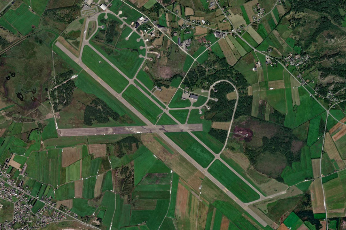
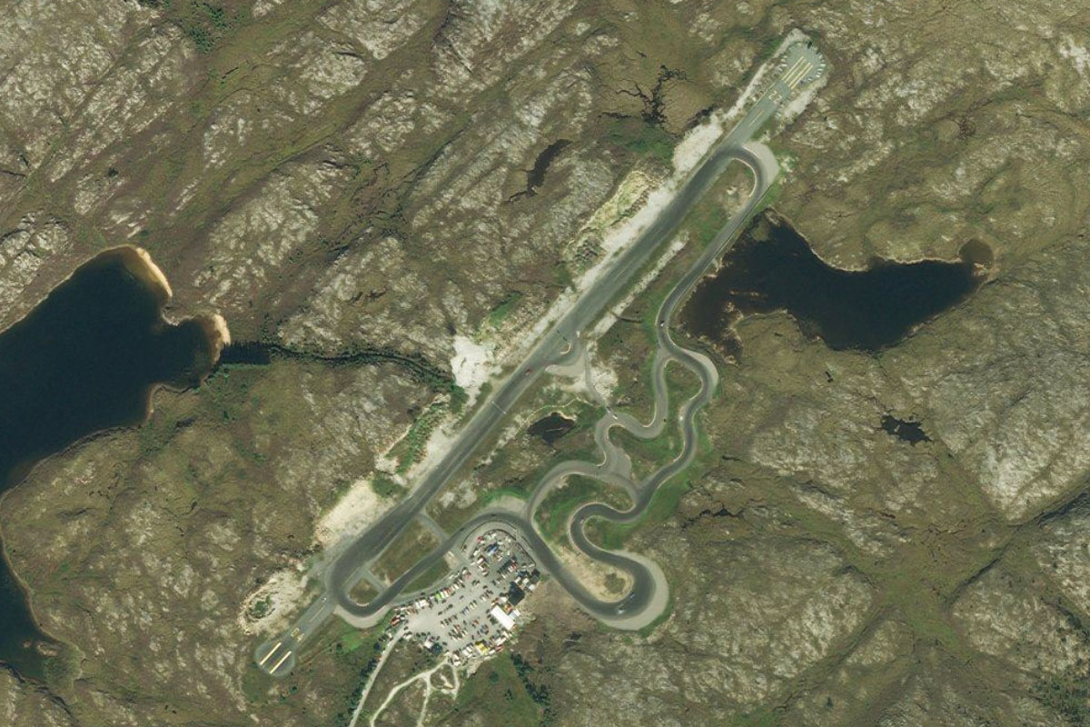
Froya(POIAH) to ENFA(ENFA)
Distance: 6.23NM Bearing: 68° 3 minutes
Fly east along the island's south coast past the wind farm to Flatval Airport, which is next to a group of small coastal villages. The runway also forms part of a motor racing circuit
Leg 19
Flying from ENFA
Leg Distance: 65.04 Approximate time at 125kts: 31 minutes.
ENFA(ENFA) to Ulvoya(POIAI)
Distance: 8.6NM Bearing: 97° 4 minutes
Fly east across to the island of Ulvøya
Ulvoya(POIAI) to Storfosna(POIAJ)
Distance: 8.77NM Bearing: 87° 4 minutes
Continue east to the island of Storfosna, which has a lagoon like harbor
Storfosna(POIAJ) to Trondheimsfjorden(POIAK)
Distance: 9.11NM Bearing: 89° 4 minutes
Fly east across a flat peninsula, then continue east to the entrance to the Trondheim Fjord, the third longest in Norway
Trondheimsfjorden(POIAK) to Trondheimsfjorden(POIAL)
Distance: 12.38NM Bearing: 148° 6 minutes
Follow the fjord southeast
Trondheimsfjorden(POIAL) to Trondheim(POIAM)
Distance: 13.15NM Bearing: 95° 6 minutes
At a junction, the fjord will increase in size as it heads east. Fly east to the city of Trondheim on the fjord's southern shore. The city, which was founded over 1000 years ago and is Norway's third most populous municipality, has produced many successful Winter Olympic athletes. The city's skyline is dominated by Nidaros Cathedral and the 81 meter Tyholt Tower
Trondheim(POIAM) to ENVA(ENVA)
Distance: 13.03NM Bearing: 79° 6 minutes
Follow the shoreline east to reach Trondheim Airport, 13 miles from the city and the destination for this stage