Welcome to a journey through the captivating Baltic states, where history, culture, and natural beauty intertwine to create an unforgettable experience. This stage commences in Helsinki, the vibrant capital of Finland, where modernity harmonizes with centuries-old traditions. From Helsinki, you’lll cross the Baltic Sea to Tallinn, the jewel of Estonia’s crown. Tallinn’s medieval Old Town, a UNESCO World Heritage Site, beckons with its cobbled streets, ancient walls, and enchanting architecture. This city is a living testament to Estonia’s rich heritage and storied past. Continuing your tour, you’ll venture eastward along Estonia’s picturesque coastline, stopping at Narva, a city steeped in history and cultural diversity. Here, the Narva River forms the border between Estonia and Russia, offering a glimpse into the complexities of this region’s geopolitical landscape. Your exploration of Estonia takes you southwest, where you’ll discover the serene beauty of Hiiumaa and Saaremaa, Estonia’s two largest islands. Crossing into Latvia, your journey continues along the Baltic coast. Riga, Latvia’s cosmopolitan capital, awaits with its stunning architecture, vibrant arts scene, and rich cultural heritage. You’ll continue east to Cesis, before heading southwest to Jelgava, a city with a rich agricultural history and a wealth of cultural attractions. The final part of the stage takes you to Ventspils, a picturesque port city known for its sandy beaches, colorful waterfront, and maritime history. From here, you cross into the Russian exclave of Kaliningrad, where the echoes of Prussian heritage blend with Soviet legacy to create a unique cultural tapestry. The Stage culminates in Vilnius, the capital of Lithuania and a city brimming with history, art, and architectural marvels
Total Legs: 26 Total Distance: 1203 Total Time(125kts): 9 hours 37 minutes
Leg 1
Flying from EFHK
Leg Distance: 58.69 Approximate time at 125kts: 28 minutes.
EFHK(EFHK) to Tuusulanvayla(POI1)
Distance: 3.8NM Bearing: 176° 2 minutes
After takeoff, turn south to meet up with Highway 45, which will lead to the city of Helsinki
Tuusulanvayla(POI1) to Ilmala depot(POI2)
Distance: 2.55NM Bearing: 180° 1 minutes
Following the highway south towards the city will take you past the Ilmala depot, a large 150 acre rail yard. Follow the railway line south from here
Ilmala depot(POI2) to Helsingin paarautatieasema(POI3)
Distance: 2.48NM Bearing: 165° 1 minutes
Following the rail line south, you will pass by the Olympic Stadium and sporting precinct to your right, and the Linnanmäki amusement park to your left, on the way to the end of the line at Helsinki's Central Station
Helsingin paarautatieasema(POI3) to Sirpalesaari(POI4)
Distance: 1.09NM Bearing: 167° 1 minutes
Continue south to the waterfront, and a group of small islands nearby. The southern side of the city also contains some iconic cathedrals – Uspenski, St. John's Church and Helsinki Cathedral
Sirpalesaari(POI4) to Vallisaari(POI5)
Distance: 2.06NM Bearing: 110° 1 minutes
Upon reaching the waterfront, turn left and follow the chain of islands eastwards. The most notable of these islands is Suomenlinna – a group of connected islands making up a historic sea fortress complex. Beyond Suomenlinna is the largest island in the local group – the mostly uninhabited Vallisaari
Vallisaari(POI5) to Vallisaari(POI6)
Distance: 2.54NM Bearing: 134° 1 minutes
From Vallisaari, head southeast to Isosaari, the last waypoint in Finland before the journey south across the Gulf of Finland. The island had a fortress of the Finnish Defense Forces until 2012
Vallisaari(POI6) to Prangli(POI7)
Distance: 27.51NM Bearing: 175° 13 minutes
Fly south across the Gulf of Finland – the eastern arm of the Baltic Sea – until you reach the small Estonian island of Prangli. This sparsely populated island is home to about 150 people
Prangli(POI7) to Rohuneeme(POI8)
Distance: 7.14NM Bearing: 214° 3 minutes
From Prangli, fly southwest to the tip of Viimsi peninsula, your first contact with mainland Estonia
Rohuneeme(POI8) to Tallinn(POI9)
Distance: 7.01NM Bearing: 178° 3 minutes
Follow the western coast of the peninsula down to Tallinn, the capital of Estonia and home to nearly half a million people. The area's first signs of settlement date back about 5000 years, with the city's central fortress at Toompea being about a thousand years old.
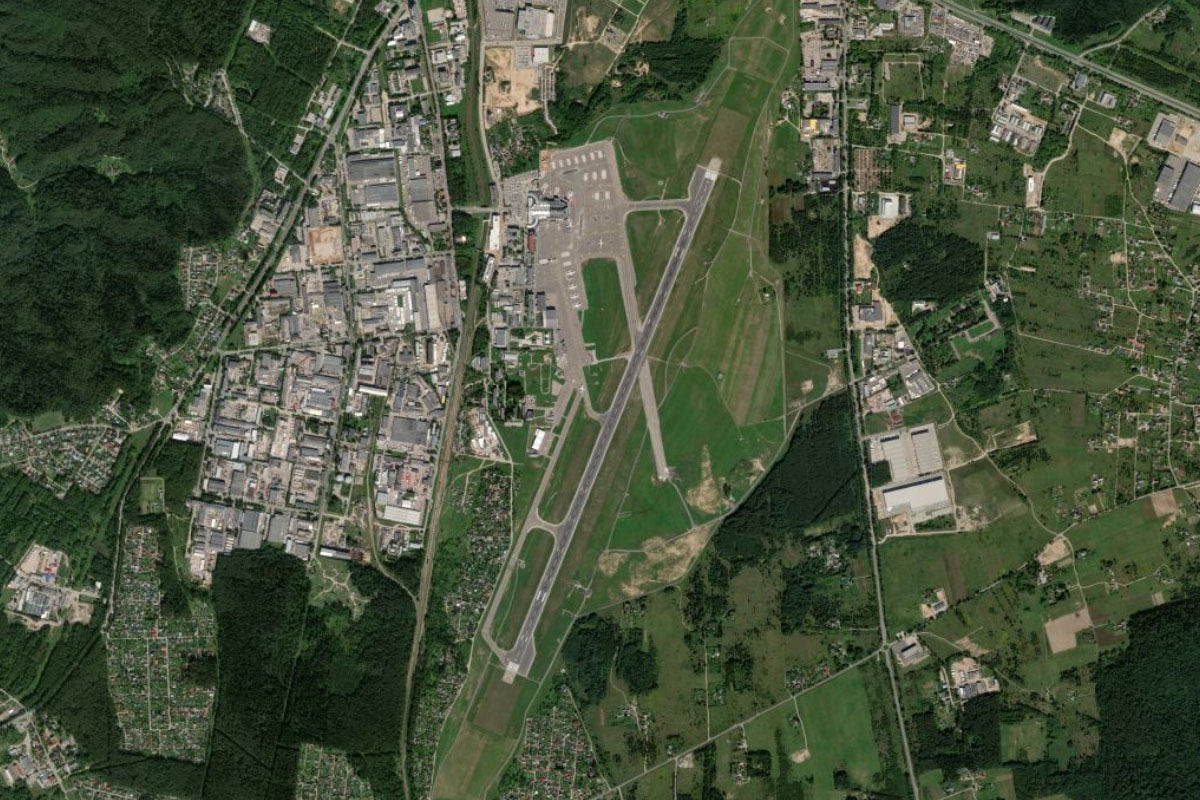
Tallinn(POI9) to EETN(EETN)
Distance: 2.51NM Bearing: 126° 1 minutes
From the city, fly southeast to the main airport on the southern outskirts
Leg 2
Flying from EETN
Leg Distance: 55.58 Approximate time at 125kts: 27 minutes.
EETN(EETN) to Muuga(POI10)
Distance: 6.67NM Bearing: 35° 3 minutes
From Tallinn airport, fly northeast to the coastline, and Estonia's largest port at Muuga Harbor
Muuga(POI10) to Ihasalu Poolsaar(POI11)
Distance: 5.93NM Bearing: 69° 3 minutes
Follow the coastline east to the nearby Ihasalu Peninsula. The town of Neeme covers the northern part of this flat peninsula
Ihasalu Poolsaar(POI11) to Hara laht(POI12)
Distance: 15.46NM Bearing: 64° 7 minutes
Keep following the coastline east until you reach Hara Bay. The bay is located between two prominent peninsulas, Juminda and Pärispea, which both lie within Lahemaa National Park – one of Europe's largest national parks
Hara laht(POI12) to Eru laht(POI13)
Distance: 4.87NM Bearing: 89° 2 minutes
Fly east to the next bay, Eru
Eru laht(POI13) to Tallinn-Narva maantee(POI14)
Distance: 7.87NM Bearing: 135° 4 minutes
From Eru Bay, fly southeast across the flat landscape until you reach the Estonian national road 1, which runs east-west between Tallinn and Narva
Tallinn-Narva maantee(POI14) to Haljala(POI15)
Distance: 11.77NM Bearing: 92° 6 minutes
Follow the highway east. After passing the small town of Haljala, the road will turn southeast
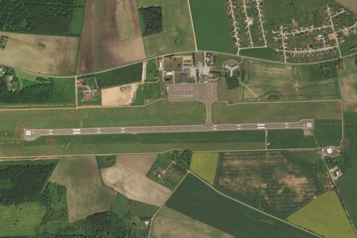
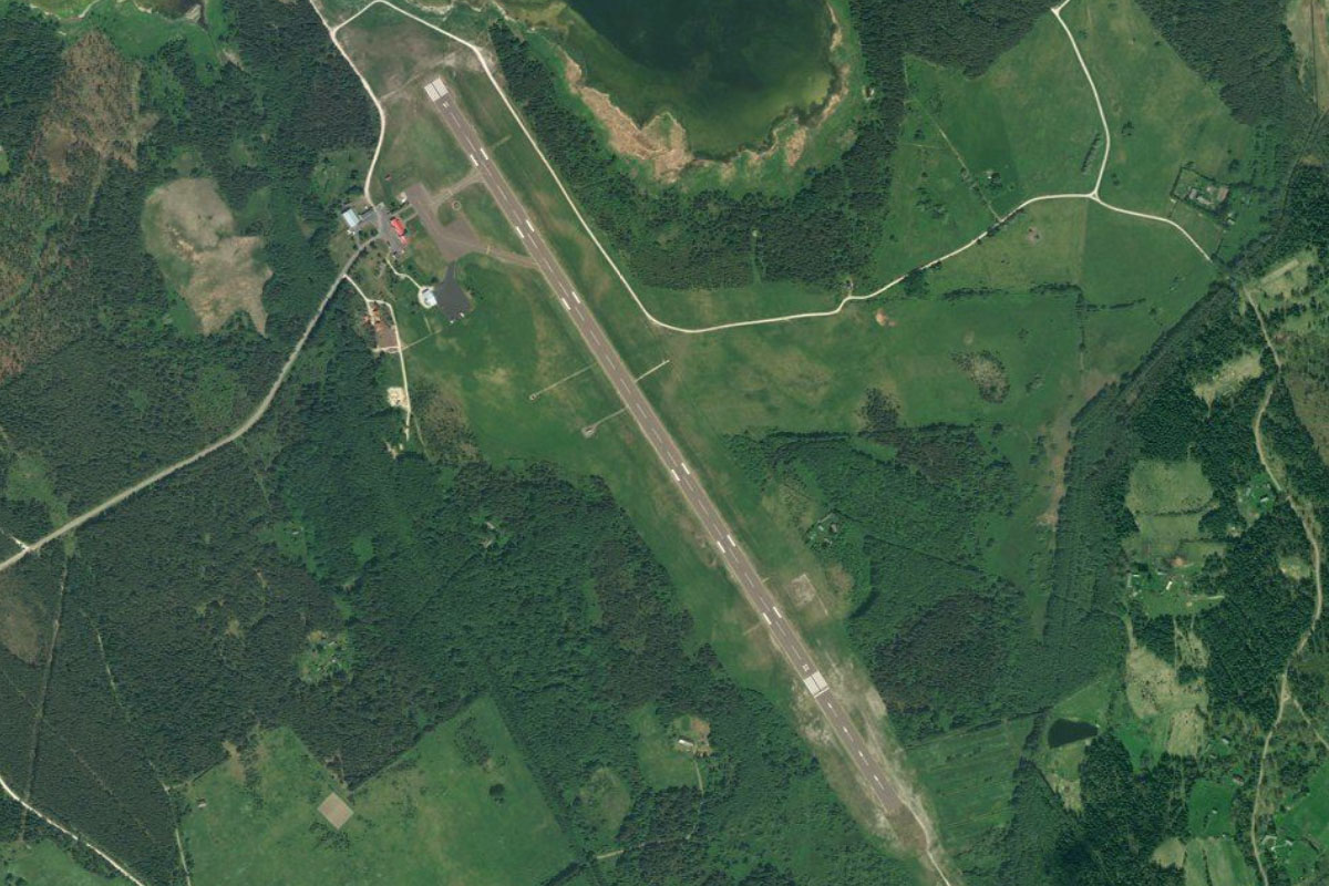
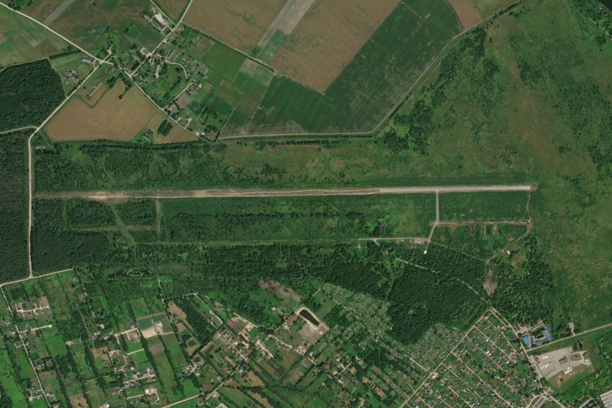
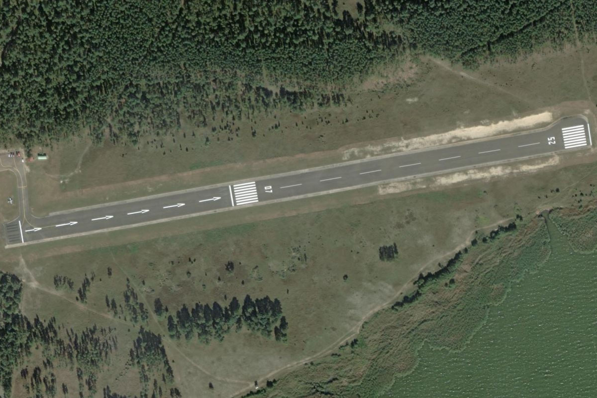
Haljala(POI15) to EERE(EERE)
Distance: 3.01NM Bearing: 163° 1 minutes
As the road turns to the southeast, head south towards the nearby town of Rakvere, where you will see a grass runway near the town's northern edge. Rakvere Castle, on the western edge of the town, is the main attraction in the area
Leg 3
Flying from EERE
Leg Distance: 55.35 Approximate time at 125kts: 27 minutes.
EERE(EERE) to Tallinn-Narva maantee(POI16)
Distance: 6.35NM Bearing: 77° 3 minutes
After takeoff, head east to once again meet the main highway, then follow it east
Tallinn-Narva maantee(POI16) to Aseri(POI17)
Distance: 7.35NM Bearing: 41° 4 minutes
Stay with the highway as it turns northeast towards the coast, and a wind farm near the coastal town of Aseri
Aseri(POI17) to Narva laht(POI18)
Distance: 19.07NM Bearing: 79° 9 minutes
When you reach the shore of Narva Bay, follow it east
Narva laht(POI18) to Narva laht(POI19)
Distance: 16.95NM Bearing: 87° 8 minutes
Keep following the shoreline east past the port town of Sillamäe to the eastern end of the bay
Narva laht(POI19) to EENA(EENA)
Distance: 5.63NM Bearing: 89° 3 minutes
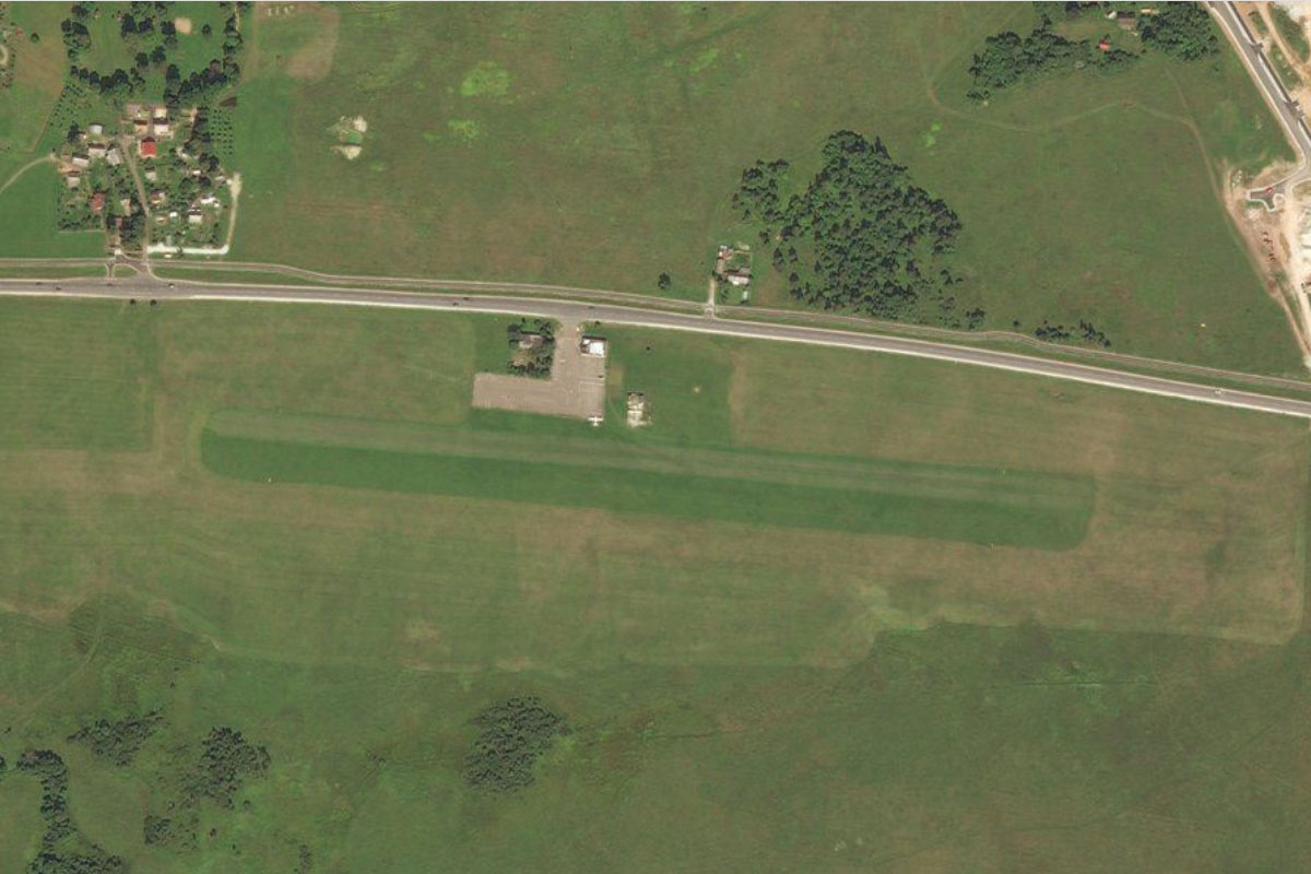
As the shoreline turns to beach and curves away to the north, continue east towards the town of Narva. The grass airstrip lies next to the highway leading to the town
Leg 4
Flying from EENA
Leg Distance: 87.27 Approximate time at 125kts: 42 minutes.
EENA(EENA) to Narva(POI20)
Distance: 2.91NM Bearing: 97° 1 minutes
Fly east to the nearby city of Narva. This city of over 50,000 people lies on the Narva River, with Russia bordering its eastern bank. The city's main historic attraction is Hermann Castle, sitting on the riverbank directly across from Ivangorod Fortress on the Russian side
Narva(POI20) to Narva veehoidla(POI21)
Distance: 1.8NM Bearing: 180° 1 minutes
Follow the river south to the Narva Reservoir. Between two of the river channels is the small island of Kreenholm, once home to the Kreenholm Manufacturing Company which at its height was the largest cotton mill in the world
Narva veehoidla(POI21) to Narva jogi(POI22)
Distance: 7.11NM Bearing: 224° 3 minutes
Follow the shore of the reservoir southwest past the settlement basins to where it narrows once again into the Narva River heading southwest
Narva jogi(POI22) to Peipsi jarv(POI23)
Distance: 19.86NM Bearing: 196° 10 minutes
Follow the river as it turns south to Lake Peipus, the fifth largest lake in Europe
Peipsi jarv(POI23) to Peipsi jarv(POI24)
Distance: 24NM Bearing: 224° 12 minutes
Fly southwest across the northern part of the lake to reach the western shore
Peipsi jarv(POI24) to Pohimaantee 3(POI25)
Distance: 10.57NM Bearing: 224° 5 minutes
Continue southwest across the landscape to a group of small lakes, then meet up with Estonian national road 3 heading south past the lakes
Pohimaantee 3(POI25) to Tartu(POI26)
Distance: 16.53NM Bearing: 177° 8 minutes
Follow the highway south to the city of Tartu, Estonia's second largest city. This university city was designated the European Capital of Culture for 2024
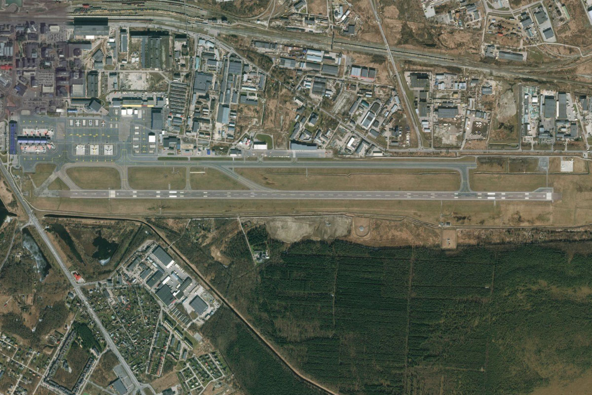
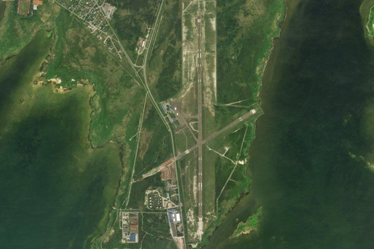
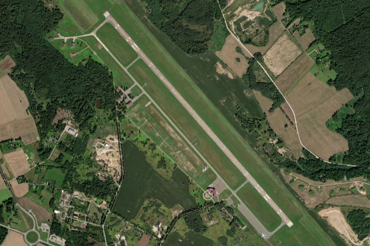
Tartu(POI26) to EETU(EETU)
Distance: 4.49NM Bearing: 187° 2 minutes
Continue south to Tartu's Ülenurme Airport
Leg 5
Flying from EETU
Leg Distance: 38.07 Approximate time at 125kts: 18 minutes.
EETU(EETU) to Vortsjarv(POI27)
Distance: 16.86NM Bearing: 269° 8 minutes
After takeoff, fly west across the flat farmland to Lake Vorts
Vortsjarv(POI27) to Vortsjarv(POI28)
Distance: 6.14NM Bearing: 270° 3 minutes
Continue west across the lake. This shallow lake, with an average depth of less than 3 meters, is the second largest in Estonia
Vortsjarv(POI28) to Viljandi(POI29)
Distance: 11.34NM Bearing: 260° 5 minutes
From the lake, continue west across more farmland to the large town of Viljandi, home to nearly 20,000 people
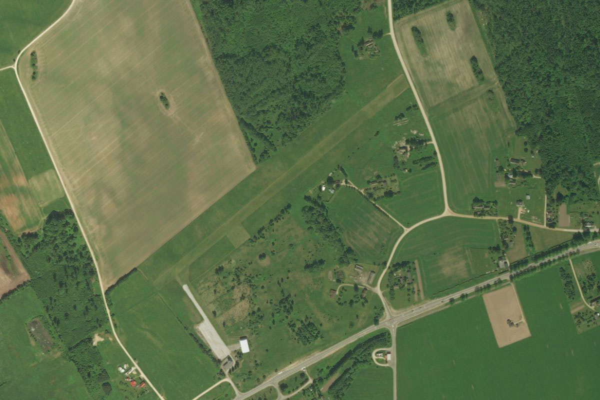
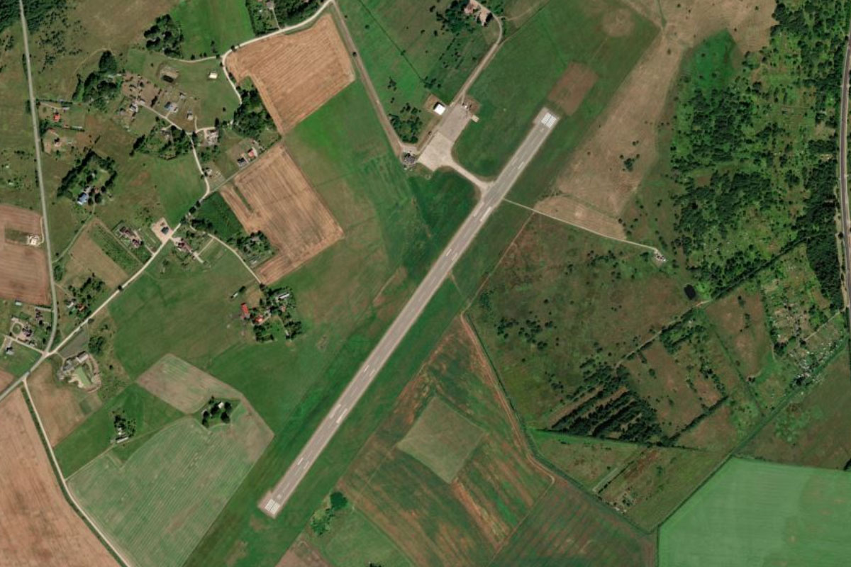
Viljandi(POI29) to EEVI(EEVI)
Distance: 3.73NM Bearing: 243° 2 minutes
A highway leading west from the town will lead you to the grass airstrip of Viljandi Airport
Leg 6
Flying from EEVI
Leg Distance: 37.66 Approximate time at 125kts: 18 minutes.
EEVI(EEVI) to Raudna jogi(POI30)
Distance: 6.8NM Bearing: 282° 3 minutes
After takeoff, fly west to meet the Raudna River, whose floodplain creates a large clearing through the surrounding forest
Raudna jogi(POI30) to Raudna jogi(POI31)
Distance: 7.77NM Bearing: 288° 4 minutes
Keep following the wide green path of the river floodplain as it runs northwest through the Soomaa National Park to its meeting with the Lemm River. This 390 square kilometer national park protects bogs, wetlands and floodplains
Raudna jogi(POI31) to Parnu jogi(POI32)
Distance: 9.06NM Bearing: 269° 4 minutes
As the river turns away to the north, fly west to meet the Parnu River heading southwest
Parnu jogi(POI32) to Parnu(POI33)
Distance: 9.26NM Bearing: 214° 4 minutes
Follow the Parnu river southwest towards Parnu Bay
Parnu(POI33) to EEPU(EEPU)
Distance: 4.77NM Bearing: 304° 2 minutes
As the river nears the bay, it will turn northwest and run through the popular resort city of Pärnu, home to 40,000 people. The river will point you towards the airport west of the city. Porsche Ring is Estonia's only permanent road racing circuit, just south of the airport
Leg 7
Flying from EEPU
Leg Distance: 54.79 Approximate time at 125kts: 26 minutes.
EEPU(EEPU) to Natsi-Volla(POI34)
Distance: 11.53NM Bearing: 269° 6 minutes
Fly west to the Nätsi-Võlla Nature Reserve. This brown patch of bog land is one of many spread across the country
Natsi-Volla(POI34) to Tuhu(POI35)
Distance: 10.74NM Bearing: 304° 5 minutes
Fly northwest to Tuhu nature reserve, another area of bog land
Tuhu(POI35) to Matsalu(POI36)
Distance: 12.43NM Bearing: 314° 6 minutes
Continue northwest to Matsalu Bay
Matsalu(POI36) to Nomme(POI37)
Distance: 13.67NM Bearing: 324° 7 minutes
Cross the bay, then follow the coastline northwest
Nomme(POI37) to Rumpo(POI38)
Distance: 4.42NM Bearing: 274° 2 minutes
Fly west over the small island of Hobulaid to the narrow Rumpo peninsula on the larger island of Vormsi
Rumpo(POI38) to EEVO(EEVO)
Distance: 2NM Bearing: 315° 1 minutes
Follow the peninsula as it leads you northwest towards Vormsi Airfield
Leg 8
Flying from EEVO
Leg Distance: 15.2 Approximate time at 125kts: 7 minutes.
EEVO(EEVO) to Kersleti(POI39)
Distance: 4.89NM Bearing: 299° 2 minutes
Fly to the island's northwest coast
Kersleti(POI39) to Hari kurk(POI40)
Distance: 4.98NM Bearing: 223° 2 minutes
Turn southwest and head across the Hari Strait to a group of small islands
Hari kurk(POI40) to Hiiumaa(POI41)
Distance: 1.95NM Bearing: 254° 1 minutes
Turn towards the west and fly to the nearby forested peninsula on Estonia's second largest island, Hiiumaa
Hiiumaa(POI41) to EEKA(EEKA)
Distance: 3.38NM Bearing: 270° 2 minutes
Continue west to Kardla airport, the only airport on the island
Leg 9
Flying from EEKA
Leg Distance: 50.94 Approximate time at 125kts: 24 minutes.
EEKA(EEKA) to Kardla(POI42)
Distance: 2.61NM Bearing: 270° 1 minutes
After takeoff, fly west to Kärdla, the main town on the island and home to 3000 people
Kardla(POI42) to Rannakula(POI43)
Distance: 19.38NM Bearing: 188° 9 minutes
From the town, turn south and fly to the southern tip of the island
Rannakula(POI43) to Saaremaa(POI44)
Distance: 3.02NM Bearing: 180° 1 minutes
Continue south over the 3 mile wide Soela Strait to the northern tip of Saaremaa, the largest and most populous island of Estonia
Saaremaa(POI44) to Jarise jarv(POI45)
Distance: 9.69NM Bearing: 198° 5 minutes
Follow the beach lined west coast of the peninsula, then continue south to a small lake, Jarise, which lies within a nature reserve
Jarise jarv(POI45) to Kuressaare(POI46)
Distance: 14.65NM Bearing: 162° 7 minutes
Fly south to the island's main town, Kuressaare on the south coast. This town of 13000 people has a prominent star shaped fort in the south, containing the town's most popular attraction, Kuressaare Bishop's Castle
Kuressaare(POI46) to EEKE(EEKE)
Distance: 1.59NM Bearing: 146° 1 minutes
Continue south to the airport near the southern end of the town
Leg 10
Flying from EEKE
Leg Distance: 57.13 Approximate time at 125kts: 27 minutes.
EEKE(EEKE) to Salme(POI47)
Distance: 10.15NM Bearing: 229° 5 minutes
After takeoff, fly southwest across the large, curved bay to reach a narrow peninsula
Salme(POI47) to Sorve poolsaar(POI48)
Distance: 15.28NM Bearing: 197° 7 minutes
Fly to the southern tip of the Sõrve Peninsula
Sorve poolsaar(POI48) to Kolkasrags(POI49)
Distance: 19.09NM Bearing: 119° 9 minutes
Turn to the southeast and cross the Irbe Strait into Latvia, and the triangular peninsula of Cape Kolka
Kolkasrags(POI49) to EVRO(EVRO)
Distance: 12.61NM Bearing: 141° 6 minutes
Follow the curved coastline around to the southeast, and when you reach the coastal town of Gipka (with its large fish processing plant-the large building near the shore) keep an eye out for the grass airstrip at Žocene, a mile from the shore

Leg 11
Flying from EVRO
Leg Distance: 60.08 Approximate time at 125kts: 29 minutes.
EVRO(EVRO) to Roja(POI50)
Distance: 3.84NM Bearing: 105° 2 minutes
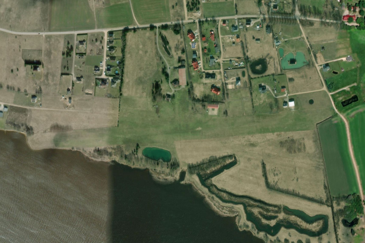
After takeoff, fly east to meet the coast at the town of Roja
Roja(POI50) to Mersrags(POI51)
Distance: 13.19NM Bearing: 121° 6 minutes
Follow the coastline southeast to a peninsula at Mērsrags, where it turns towards the south
Mersrags(POI51) to Kesterciems(POI52)
Distance: 15.84NM Bearing: 158° 8 minutes
Keep following the coastline south
Kesterciems(POI52) to Ragaciema(POI53)
Distance: 9.3NM Bearing: 110° 4 minutes
The coast will turn back around to the southeast and lead you to another peninsula, where a unique lighthouse at Ragaciema keeps watch over the Gulf of Riga
Ragaciema(POI53) to Kauguri(POI54)
Distance: 5.73NM Bearing: 127° 3 minutes
As the coast curves around to the east the frequency of popular beachside towns will increase
Kauguri(POI54) to EVRA(EVRA)
Distance: 12.18NM Bearing: 93° 6 minutes
When you reach the long crescent of Jurmala Beach, fly east over Lielupe River and Lake Babite to reach Riga Airport – the largest in the Baltic states

Leg 12
Flying from EVRA
Leg Distance: 32.4 Approximate time at 125kts: 16 minutes.
EVRA(EVRA) to Daugava(POI55)
Distance: 8.4NM Bearing: 3° 4 minutes
After takeoff, fly north to the mouth of the Daugava River
Daugava(POI55) to Riga(POI56)
Distance: 7.36NM Bearing: 150° 4 minutes
Follow the river south to the city of Riga, the capital of Latvia and the largest city in the Baltic states. This historic city was founded in 1201 and is now home to nearly 1 million people
Riga(POI56) to Rigas HES(POI57)
Distance: 8.02NM Bearing: 126° 4 minutes
Continue southeast with the river past the city's 5 bridge crossings, where the Riga Hydroelectric Power Plant will create a border between the river and Riga Reservoir to its south
Rigas HES(POI57) to Daugava(POI58)
Distance: 5.9NM Bearing: 90° 3 minutes
Follow the reservoir east, where it will soon narrow back into the Daugava River
Daugava(POI58) to EVPA(EVPA)
Distance: 2.72NM Bearing: 106° 1 minutes
Follow the river on its brief run southeast, where you will see a small grass airstrip on the northern bank
Leg 13
Flying from EVPA
Leg Distance: 43.86 Approximate time at 125kts: 21 minutes.
EVPA(EVPA) to Kranciems(POI59)
Distance: 5.06NM Bearing: 49° 2 minutes
Fly northeast to the nearby Kranciems dolomite quarry. There are many such quarries in the region
Kranciems(POI59) to Dutkas(POI60)
Distance: 4.85NM Bearing: 9° 2 minutes
Turn towards the north and over two more dolomite quarries – Tūrkalne and Dutkas
Dutkas(POI60) to Gaitinas(POI61)
Distance: 3.52NM Bearing: 350° 2 minutes
Fly north to another quarry, Gaitinas
Gaitinas(POI61) to Sigulda(POI62)
Distance: 10.73NM Bearing: 19° 5 minutes
Turn slightly northeast and head to the large town of Sigulda. This picturesque town of 15,000 people lies near the Gauja River
Sigulda(POI62) to Gauja River(POI63)
Distance: 6.31NM Bearing: 13° 3 minutes
From the town follow the river north along a shallow valley
Gauja River(POI63) to Cesis(POI64)
Distance: 11.34NM Bearing: 61° 5 minutes
The river will turn northeast and lead you to the large regional town of Cesis, home to one of the most iconic and best preserved medieval castles in Latvia, the 800 year old Cēsis Castle
Cesis(POI64) to EVCA(EVCA)
Distance: 2.05NM Bearing: 59° 1 minutes
Continue northeast over the town to Cesis Airfield. The two grass runways make up the old and new airfield – both of which are still in use
Leg 14
Flying from EVCA
Leg Distance: 39.21 Approximate time at 125kts: 19 minutes.
EVCA(EVCA) to Amatciems(POI65)
Distance: 6.19NM Bearing: 179° 3 minutes
From Cesis, fly south to Amatciems – a resort style village featuring spas, landscaped lakes and unique buildings
Amatciems(POI65) to Sarkani(POI66)
Distance: 10.21NM Bearing: 179° 5 minutes
Continue south until you see a power line clearing also running south
Sarkani(POI66) to Keipene(POI67)
Distance: 9.98NM Bearing: 182° 5 minutes
Follow the power line clearing as it runs south along with a local highway to the town of Keipene, which sits in between two small lakes
Keipene(POI67) to EVGA(EVGA)
Distance: 12.83NM Bearing: 229° 6 minutes
From Keipene, turn southwest and head to Lielvārde Air Base – a few miles north of the town of Lielvārde on the Daugava River

Leg 15
Flying from EVGA
Leg Distance: 36.07 Approximate time at 125kts: 17 minutes.
EVGA(EVGA) to Kegums(POI68)
Distance: 5.23NM Bearing: 234° 3 minutes
After takeoff, fly southwest to the nearby town of Kegums, where a hydroelectric power plant spans the Daugava River
Kegums(POI68) to Iecava(POI69)
Distance: 18.49NM Bearing: 235° 9 minutes
Continue southwest across the Zemgale Plain to the town of Iecava, situated in farmland
Iecava(POI69) to Leilupe(POI70)
Distance: 8.53NM Bearing: 235° 4 minutes
Keep flying southwest until you reach the picturesque Leilupe River
Leilupe(POI70) to EVPI(EVPI)
Distance: 3.82NM Bearing: 112° 2 minutes
Follow the river briefly southeast for a few miles before a turn to the east will point you to a small grass airstrip surrounded by farmland

Leg 16
Flying from EVPI
Leg Distance: 32.66 Approximate time at 125kts: 16 minutes.
EVPI(EVPI) to Rundles pils(POI71)
Distance: 5.82NM Bearing: 188° 3 minutes
After takeoff, fly south to meet the river and follow it south for a few miles. When it turns away to the east, continue south a short distance to Rundale Palace. This baroque palace started construction in 1736 and is one of Latvia's main tourist attractions
Rundles pils(POI71) to Eleja(POI72)
Distance: 11.36NM Bearing: 261° 5 minutes
From the palace, fly briefly northwest to meet a local highway running to the west. This will pass through the town of Sesave before reaching the A8 national road at the larger town of Eleja
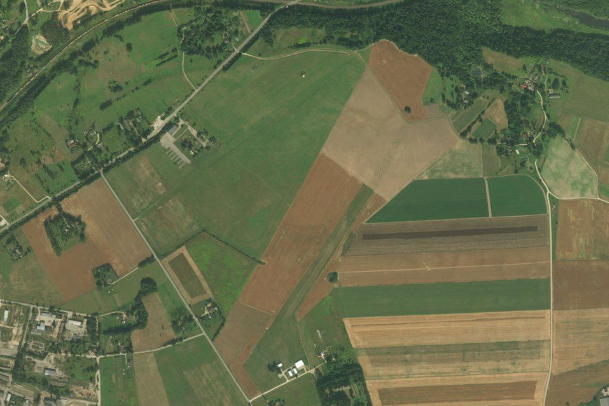
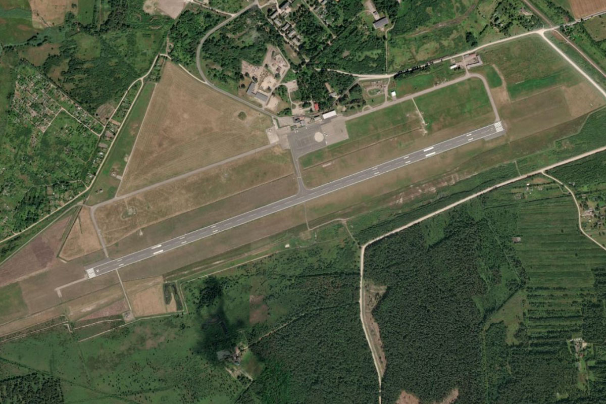
Eleja(POI72) to EVEA(EVEA)
Distance: 15.48NM Bearing: 351° 7 minutes
Follow the A8 road as it marks a straight line north to the city of Jelgava, then to the airfield on the northwestern edge of the town. This former Soviet military base is now used for general aviation and gliders
Leg 17
Flying from EVEA
Leg Distance: 23.73 Approximate time at 125kts: 11 minutes.
EVEA(EVEA) to Leilupe(POI73)
Distance: 10.96NM Bearing: 332° 5 minutes
From the airport, fly north to meet the Leilupe River then follow it northwest
Leilupe(POI73) to Kemeru(POI74)
Distance: 4.27NM Bearing: 289° 2 minutes
After the A9 highway bridge crossing, the river will turn away to the northeast. At this point, fly northwest across the nearby Great Ķemeri Bog, part of the larger Ķemeri National Park
Kemeru(POI74) to EVTA(EVTA)
Distance: 8.5NM Bearing: 288° 4 minutes
Continue northwest towards the town of Tukums. As you near the town you will arrive at Jūrmala Airport to its southeast
Leg 18
Flying from EVTA
Leg Distance: 64.28 Approximate time at 125kts: 31 minutes.
EVTA(EVTA) to A10(POI75)
Distance: 5.61NM Bearing: 279° 3 minutes
After takeoff, fly west past the town of Tukums to meet the A10 national road, which runs to the northwest
A10(POI75) to Talsi(POI76)
Distance: 21.01NM Bearing: 302° 10 minutes
Follow the highway northwest until you reach a cloverleaf interchange south of the town of Talsi
Talsi(POI76) to Usmas ezers(POI77)
Distance: 12.73NM Bearing: 269° 6 minutes
From the interchange, fly west to Lake Usma. Latvia's fifth largest lake is popular for recreation and has the only inland yacht port in Latvia
Usmas ezers(POI77) to Puzes ezers(POI78)
Distance: 9.53NM Bearing: 304° 5 minutes
Fly northwest to the smaller Lake Puze, 10 miles away
Puzes ezers(POI78) to Ventspils(POI79)
Distance: 12.6NM Bearing: 280° 6 minutes
Fly west to Ventspils, the sixth largest city in Latvia. This port city on the Baltic Sea is home to the 700 year old Ventspils Castle, one of the oldest and most well-preserved Livonian Order castles
Ventspils(POI79) to EVVA(EVVA)
Distance: 2.8NM Bearing: 206° 1 minutes
Ventspils Airport lies to the south of the city
Leg 19
Flying from EVVA
Leg Distance: 58.68 Approximate time at 125kts: 28 minutes.
EVVA(EVVA) to Uzava(POI80)
Distance: 7.61NM Bearing: 206° 4 minutes
Fly southwest (runway heading) to meet the Baltic Coast
Uzava(POI80) to Jurkalne(POI81)
Distance: 14.41NM Bearing: 176° 7 minutes
Follow the beach-lined coast south
Jurkalne(POI81) to Akmenrags(POI82)
Distance: 14.99NM Bearing: 217° 7 minutes
Keep following the coast as it turns southwest. Here, Akmeņrags Lighthouse keeps watch over the Baltic Sea
Akmenrags(POI82) to Liepaja(POI83)
Distance: 18.63NM Bearing: 177° 9 minutes
Stay with the coast as it heads south to Latvia's third largest city, Liepāja. This city of nearly 70,000 people has an important ice-free port
Liepaja(POI83) to EVLA(EVLA)
Distance: 3.04NM Bearing: 95° 1 minutes
Liepāja Airport is to the east of the city, on the far side of Liepāja Lake
Leg 20
Flying from EVLA
Leg Distance: 33.29 Approximate time at 125kts: 16 minutes.
EVLA(EVLA) to Liepajas ezers(POI84)
Distance: 6.95NM Bearing: 182° 3 minutes
From the airport, fly to the south end of the lake
Liepajas ezers(POI84) to Pape(POI85)
Distance: 13.33NM Bearing: 180° 6 minutes
Continue south to eventually meet the coast
Pape(POI85) to Sventoji(POI86)
Distance: 9.48NM Bearing: 158° 5 minutes
Follow the coast south, crossing into Lithuania and the town of Šventoji
Sventoji(POI86) to EYPA(EYPA)
Distance: 3.53NM Bearing: 160° 2 minutes
Continue south for a few miles to Palanga Airport

Leg 21
Flying from EYPA
Leg Distance: 39.12 Approximate time at 125kts: 19 minutes.
EYPA(EYPA) to Palanga(POI87)
Distance: 6.25NM Bearing: 185° 3 minutes
After takeoff, fly south (runway heading) over the resort city of Palanga on the way to meet the coast
Palanga(POI87) to Klaipeda(POI88)
Distance: 8.77NM Bearing: 165° 4 minutes
Follow the beach lined coast south to the breakwaters at the mouth of the Port of Klaipėda, one of the few ice-free ports in northernmost Europe, and the second largest European Union port by tonnage in the Baltic
Klaipeda(POI88) to Curonian Spit(POI89)
Distance: 12.52NM Bearing: 170° 6 minutes
Continue south past the city of Klaipėda along the narrow Curonian Spit. This UNESCO World Heritage Site is a curved sand-dune spit that separates the Curonian Lagoon from the Baltic Sea
Curonian Spit(POI89) to EYND(EYND)
Distance: 11.58NM Bearing: 182° 6 minutes
Keep heading south along the spit as you pass over the large sand dunes named the 'Dead Dunes' on the lagoon side. Further south you will reach Nida Airport, also on the lagoon (east) side of the spit
Leg 22
Flying from EYND
Leg Distance: 47.38 Approximate time at 125kts: 23 minutes.
EYND(EYND) to Lesnoy(POI90)
Distance: 23.96NM Bearing: 211° 12 minutes
Continue following the spit as it curves around to the southwest and enters the Russian territory of Kaliningrad. More large sand dunes will feature on the way to the spit's narrowest point at the town of Lesnoy
Lesnoy(POI90) to Zelenogradsk(POI91)
Distance: 5.86NM Bearing: 226° 3 minutes
Continue southwest to the southern end of the spit, and the town of Zelenogradsk
Zelenogradsk(POI91) to Kaliningrad(POI92)
Distance: 14.92NM Bearing: 169° 7 minutes
From Zelenogradsk, fly south to the city of Kaliningrad. This important city, founded in 1255, is the only ice-free port of Russia on the Baltic Sea and is home to half a million people
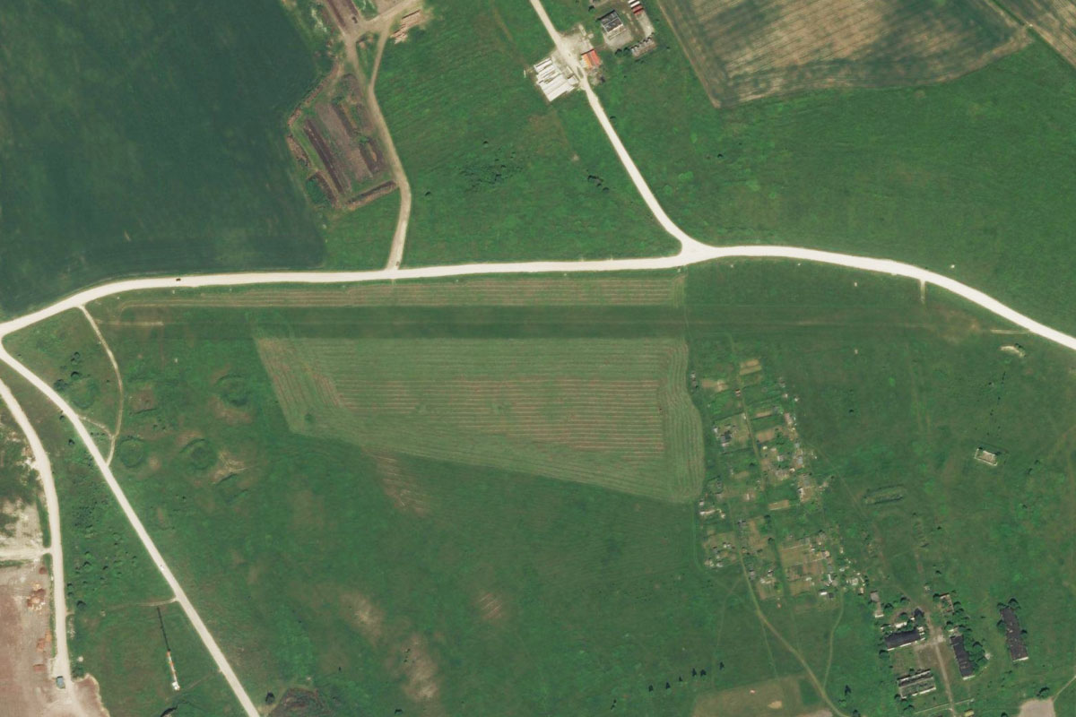
Kaliningrad(POI92) to UMAA(UMAA)
Distance: 2.64NM Bearing: 60° 1 minutes
A large field in the eastern part of the city features the long gravel runway of Devau Airport. Opened in 1921 as the main airport of Königsberg, it is one of the oldest passenger airports in the world

Leg 23
Flying from UMAA
Leg Distance: 42.75 Approximate time at 125kts: 21 minutes.
UMAA(UMAA) to A229(POI93)
Distance: 2.55NM Bearing: 109° 1 minutes
Fly southeast to meet the A229 highway, which heads east across Kaliningrad Oblast along with the Pregolya River
A229(POI93) to Gvardeysk(POI94)
Distance: 15.38NM Bearing: 90° 7 minutes
Follow the highway east to the town of Gvardeysk. Here, the highway will cross the Deyma River as it heads south to meet the Pregolya River
Gvardeysk(POI94) to Talpaki(POI95)
Distance: 9.17NM Bearing: 90° 4 minutes
Keep following the highway east as you pass a large quarry on the way to the rural town of Talpaki
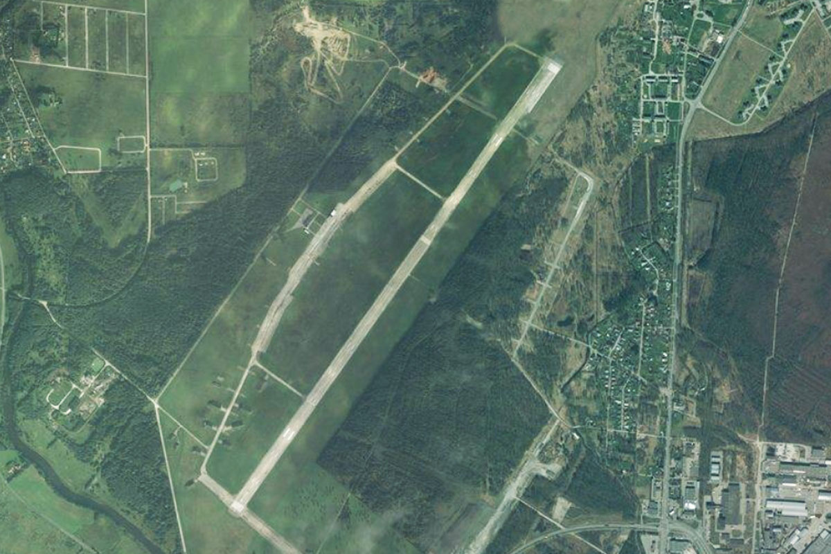
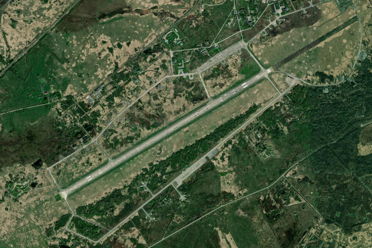
Talpaki(POI95) to UCHE(UCHE)
Distance: 15.65NM Bearing: 93° 8 minutes
The highway will continue east where it will meet the railway line at the town of Mezhdurech'e. Continue east from here to Chernyakhovsk Naval Air Base, home to several variants of Sukhoi fighter jets
Leg 24
Flying from UCHE
Leg Distance: 58.27 Approximate time at 125kts: 28 minutes.
UCHE(UCHE) to Krasnopolyanskoe(POI96)
Distance: 6.49NM Bearing: 83° 3 minutes
From the air base, fly east over the nearby railway line to once again meet the A229 highway at the small town of Krasnopolyanskoe
Krasnopolyanskoe(POI96) to Gusev(POI97)
Distance: 8.39NM Bearing: 75° 4 minutes
Follow the highway east as it passes to the north of the large regional town of Gusev
Gusev(POI97) to Nesterov(POI98)
Distance: 12.88NM Bearing: 78° 6 minutes
Continue east with the highway and railway to the town of Nesterov
Nesterov(POI98) to Kybartai(POI99)
Distance: 6.33NM Bearing: 77° 3 minutes
A short journey further east will take you across the border to the Lithuanian town of Kybartai
Kybartai(POI99) to Vilkaviskis(POIA0)
Distance: 9.54NM Bearing: 78° 5 minutes
Keep flying east to the large town of Vilkaviškis, with Lake Paežeriai at its western edge
Vilkaviskis(POIA0) to Paezeriu(POIA1)
Distance: 5.29NM Bearing: 74° 3 minutes
Continue east towards a small lake
Paezeriu(POIA1) to Gavaltuvos tvenkinys(POIA2)
Distance: 7.54NM Bearing: 81° 4 minutes
Further east you will meet Gavaltuvos reservoir, formed by a hydroelectric dam on the Šešupė River
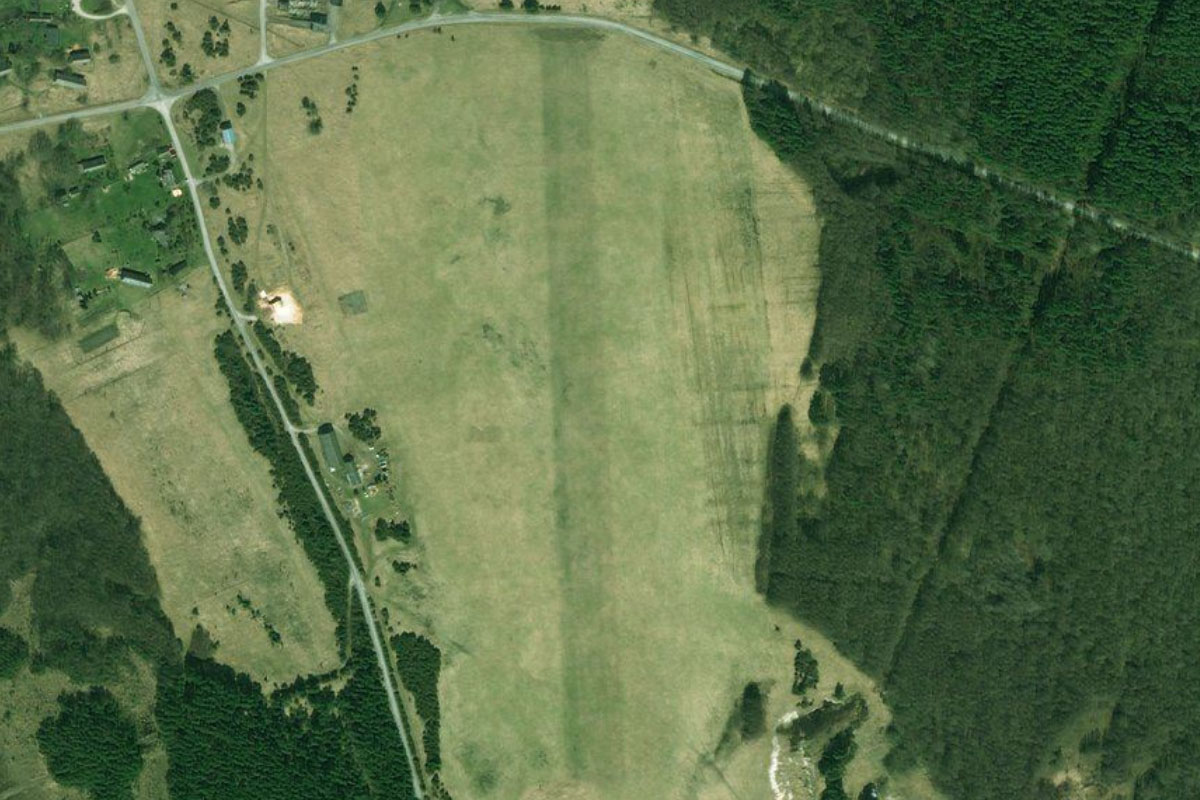
Gavaltuvos tvenkinys(POIA2) to EYMM(EYMM)
Distance: 1.81NM Bearing: 81° 1 minutes
In a large field two miles east from the reservoir is Sasnava Airfield

Leg 25
Flying from EYMM
Leg Distance: 25.01 Approximate time at 125kts: 12 minutes.
EYMM(EYMM) to A5(POIA3)
Distance: 1.8NM Bearing: 89° 1 minutes
After takeoff, fly east to meet the A9 highway
A5(POIA3) to Mauruciai(POIA4)
Distance: 12.12NM Bearing: 44° 6 minutes
Follow the highway northeast until it crosses the railway line near the small town of Mauručiai
Mauruciai(POIA4) to Nemunas(POIA5)
Distance: 7.53NM Bearing: 359° 4 minutes
Turn north and fly to the Neman River, the largest in Lithuania
Nemunas(POIA5) to Kaunas(POIA6)
Distance: 2.65NM Bearing: 95° 1 minutes
Follow the river east to the fork with the Neris River. Between the rivers lies the historic center of Kaunas. Known as the Old Town, this area is home to the Kaunas Town Hall and Kaunas Castle
Kaunas(POIA6) to EYKS(EYKS)
Distance: 0.91NM Bearing: 177° 0 minutes
Just south of the city is S. Darius and S. Girėnas Airport, named after the Lithuanian pilots Steponas Darius and Stasys Girėnas, who perished in a crash near the end of an attempted non-stop flight from New York to Lithuania in 1933.

Leg 26
Flying from EYKS
Leg Distance: 55.95 Approximate time at 125kts: 27 minutes.
EYKS(EYKS) to Kauno marios(POIA7)
Distance: 5.19NM Bearing: 90° 2 minutes
After takeoff, head east to Kaunas Reservoir, a large lagoon east of the city
Kauno marios(POIA7) to Kauno Hidroelektrine(POIA8)
Distance: 8.64NM Bearing: 111° 4 minutes
Continue east over land, then follow the reservoir southeast to its eastern end at the Kaunas Hydroelectric Power Plant
Kauno Hidroelektrine(POIA8) to Elektrenai(POIA9)
Distance: 14.86NM Bearing: 89° 7 minutes
From the dam, fly east to Elektrėnai Reservoir, a large artificial lake which supplies cooling water to the nearby power plant
Elektrenai(POIA9) to Galve(POIAA)
Distance: 11.39NM Bearing: 119° 5 minutes
From the reservoir, fly southeast to another large body of waster, Lake Galvė. A small island near the town of Trakai houses the 14th century Trakai Island Castle
Galve(POIAA) to Gariunai(POIAB)
Distance: 7.76NM Bearing: 74° 4 minutes
Fly east to Gariūnai, an industrial area on the outskirts of Vilnius containing the Gariūnai Power Plant and the popular Gariūnai Market
Gariunai(POIAB) to Vilnius(POIAC)
Distance: 4.93NM Bearing: 66° 2 minutes
Continue northeast to meet the Neris River as it makes its way through Vilnius, the capital and largest city in Lithuania. This UNESCO World Heritage listed city contains one of the largest and best preserved old towns in Europe.
Vilnius(POIAC) to EYVI(EYVI)
Distance: 3.18NM Bearing: 174° 2 minutes
From the city, fly south to Vilnius International Airport, the destination for this stage