Discover Brazil
Brazil, located in the eastern portion of South America, is an immense and dynamic country. Spanning both the northern and southern hemispheres, it occupies roughly half of the land mass of South America and is the largest country by both physical size and population in Latin America. It boasts more than 4,600 miles of coastline and comprises the majority of the Amazon Rainforest, the largest rainforest in the world.
Brazil is one of the most culturally diverse countries in the world. It was colonized by the Portuguese beginning in 1500 and people from throughout Europe, Asia, and Africa immigrated into Brazil in the following centuries. Today, Brazil is renowned for its economic, cultural, and natural vibrancy. It is home to fifteen cities with more than one million inhabitants, including São Paulo, the country’s most populous with more than 11 million.
This bush trip begins far inland of São Paulo and strikes a northeasterly course to one of the world’s most distinctive cities, Brasília. Located in the Brazilian highlands, Brasília is the nation’s capital and third most populous city. It is famed for its beautiful modern architecture and for its detailed layout, which resembles a bird from above.
Flight tips
Weather, date and time are customizable. Live weather is preset.
Set your aircraft to "cold and dark" after each landing to end the flight, preferably in one of the parking lots.
Use ATC if you like.
This mission is created as a VFR flight. All necessary information is contained in the Navlog. If necessary, a GPS course is available.
Total Legs: 7 Total Distance: 682 Total Time(125kts): 5 hours 27 minutes
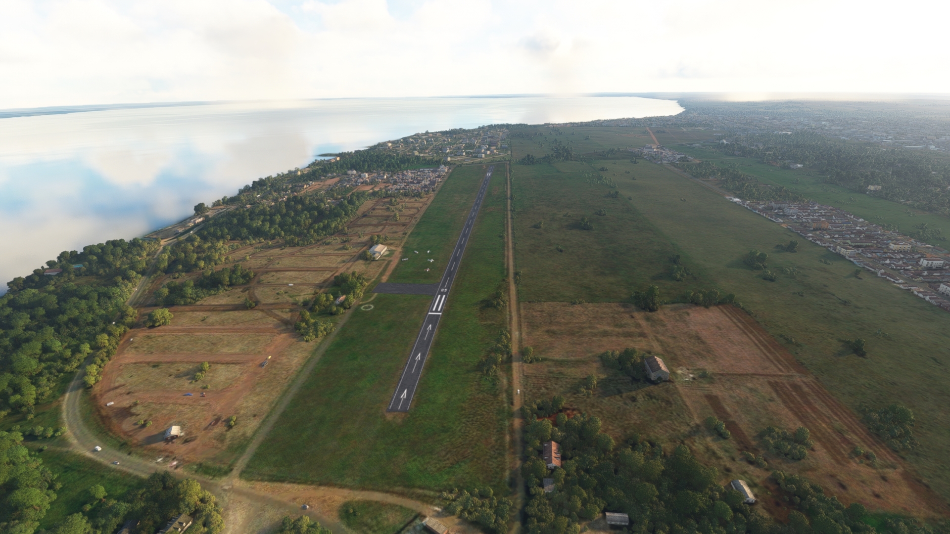
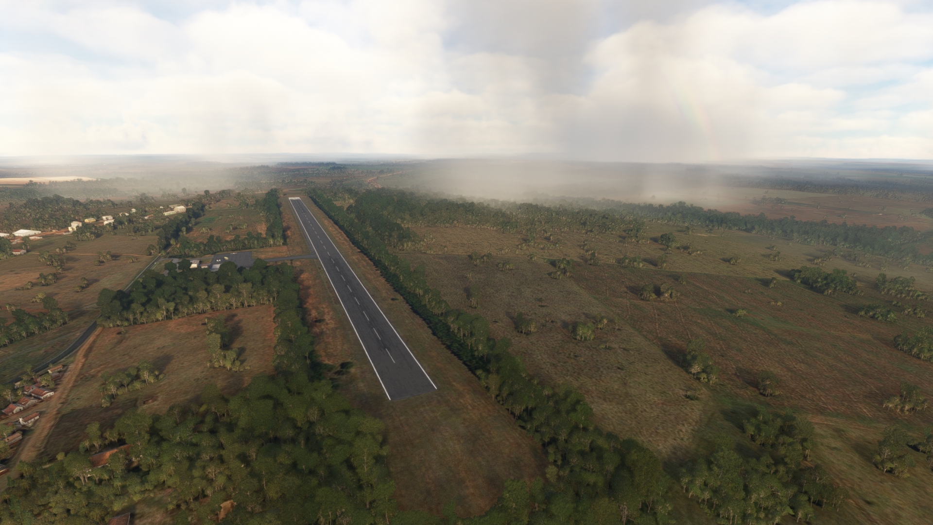
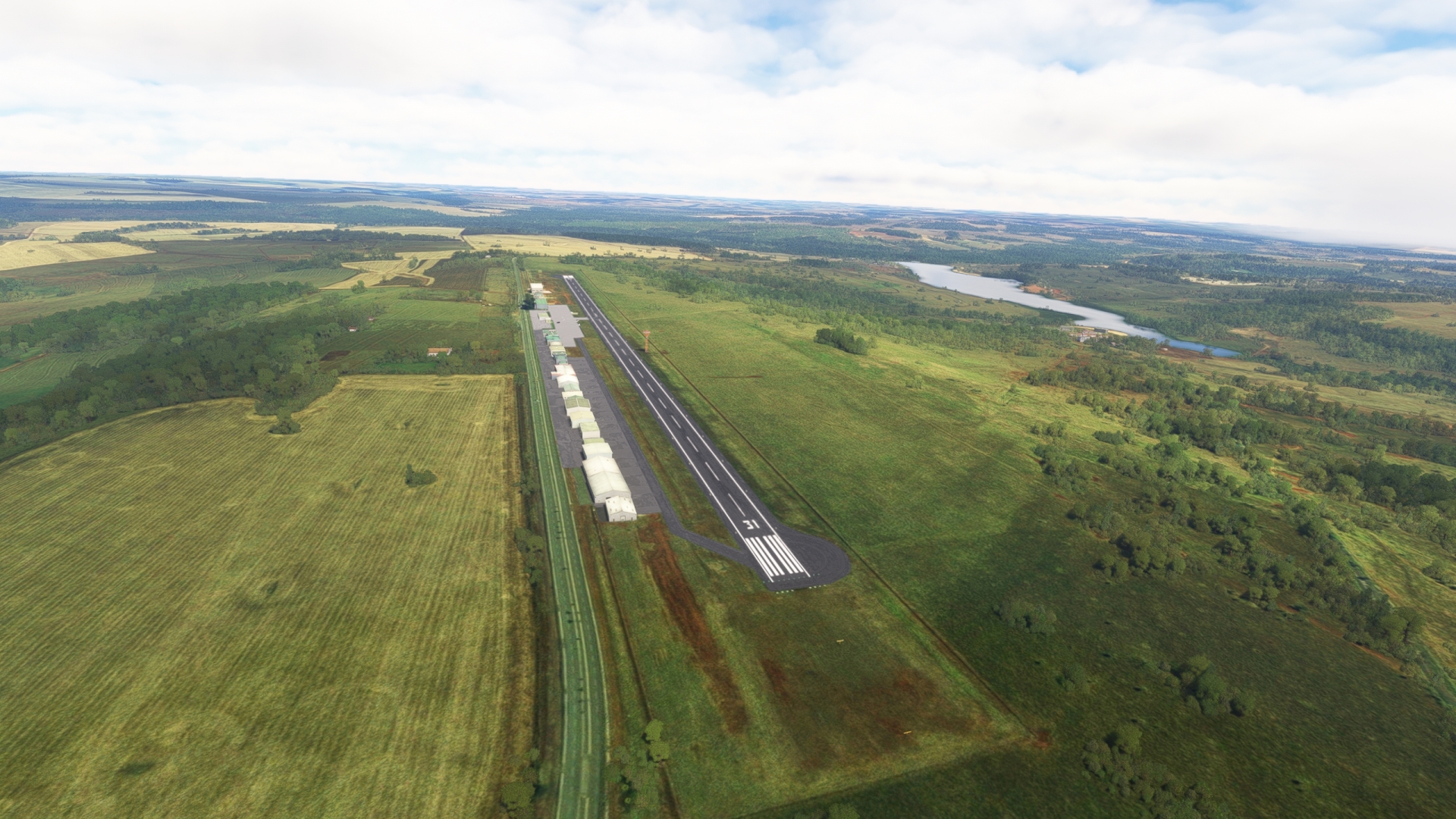
Leg 1
Loanda to Presidente Epitacio
Leg Distance: 94.74 Approximate time at 125kts: 45 minutes.
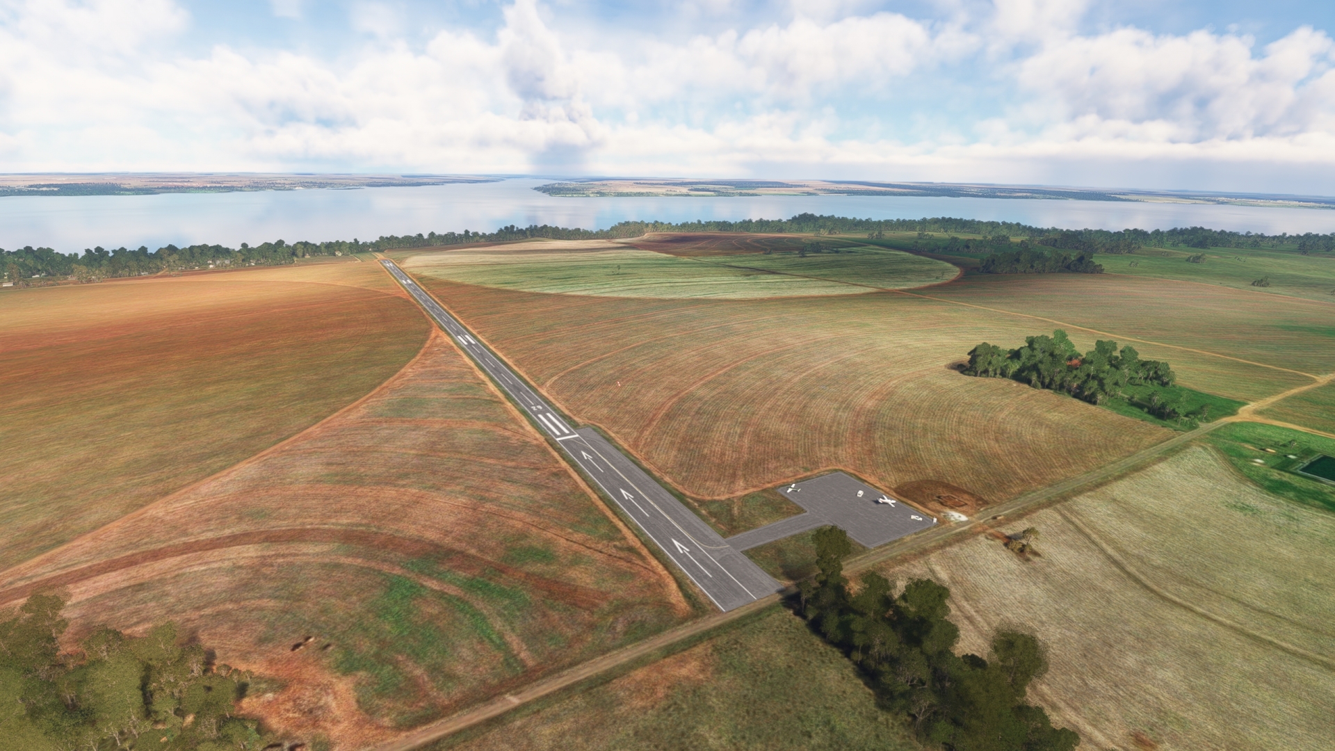
Loanda(SSLO) to Parana River(POI1)
Distance: 11.42NM Bearing: 1° 5 minutes
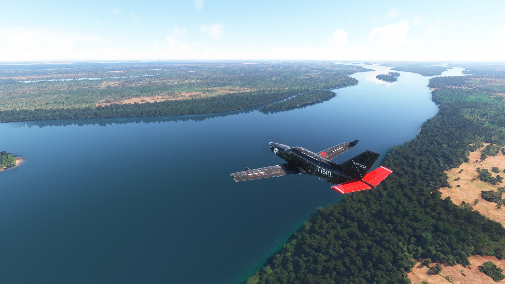
Lift off from Loanda Airport (SSLO) and set a course to the northwest and fly over the Paraná River. The Paraná River is the second longest river in South America after the Amazon. It measures 3,030 miles in length and empties into the Atlantic Ocean in Argentina.
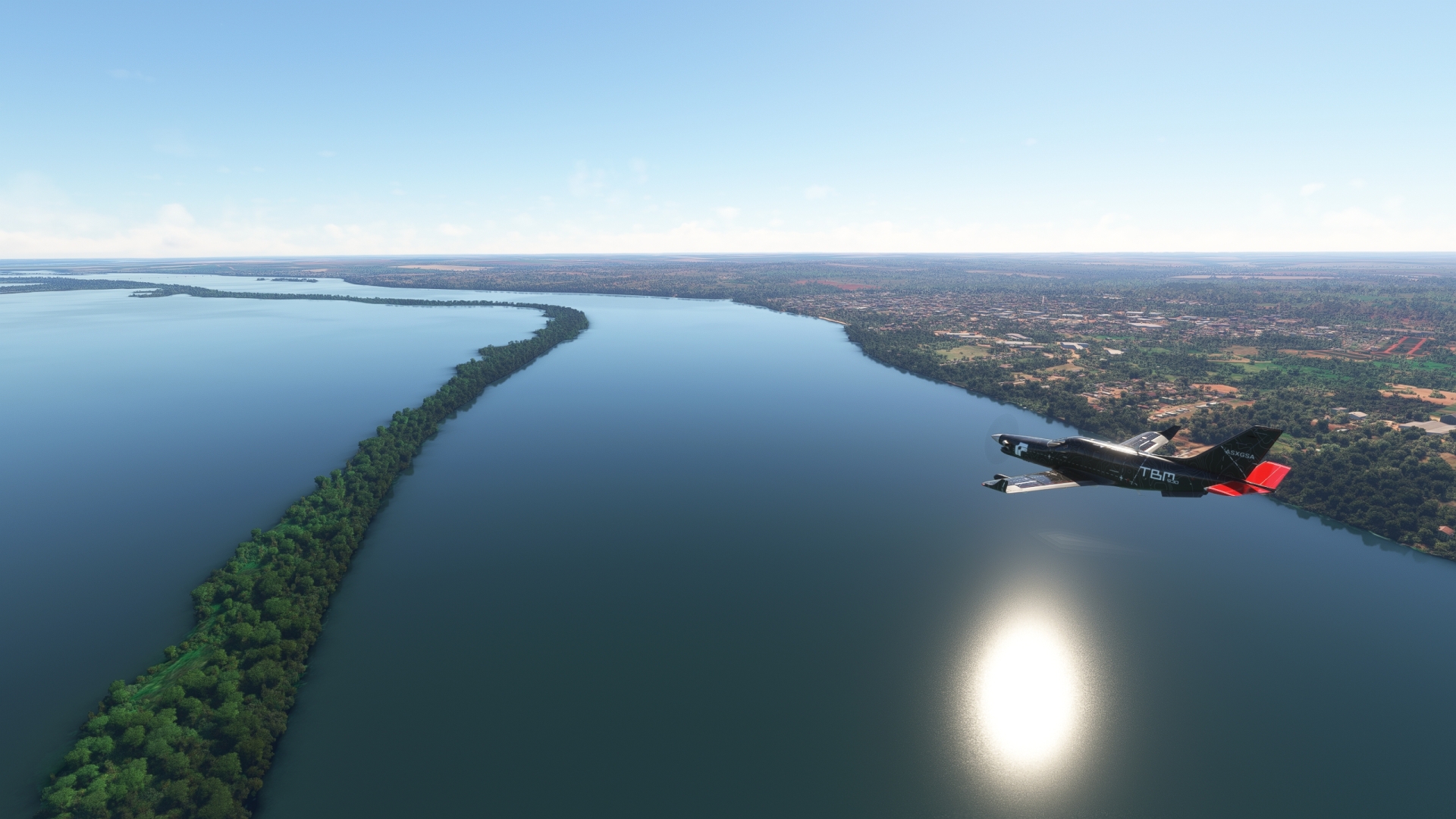
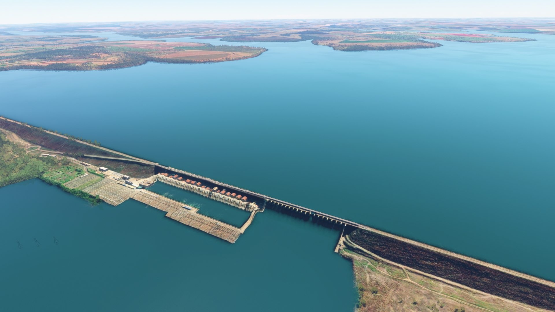
Parana River(POI1) to Engineer Sergio Motta Dam(POI2)
Distance: 20.95NM Bearing: 61° 10 minutes
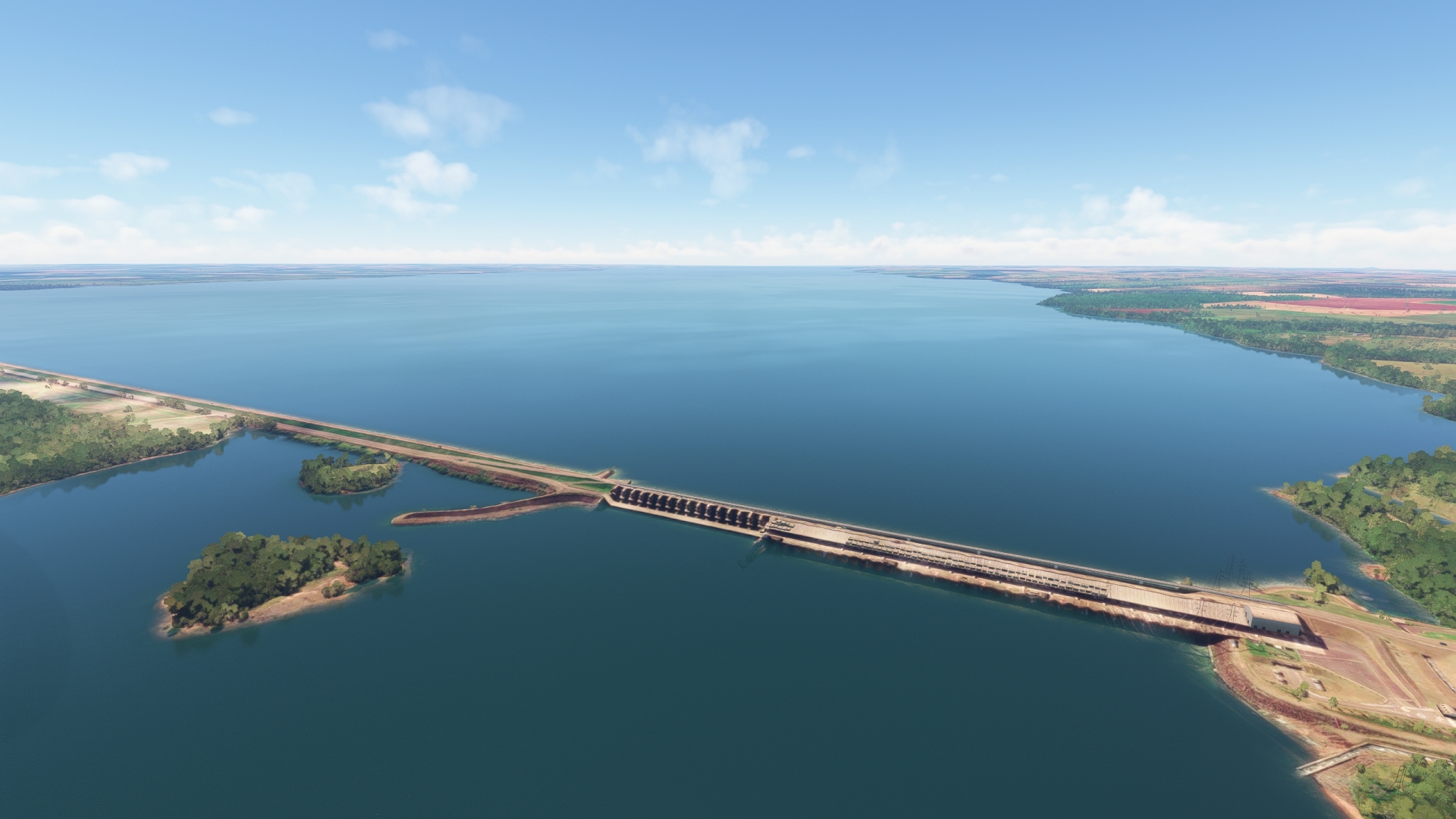
Turn to the northeast over the Paraná and follow the course of the river upstream to the Engineer Sérgio Motta Dam. Formerly known as the Porto Primavera Dam, it is the longest dam in Brazil at just over 7 miles in length.
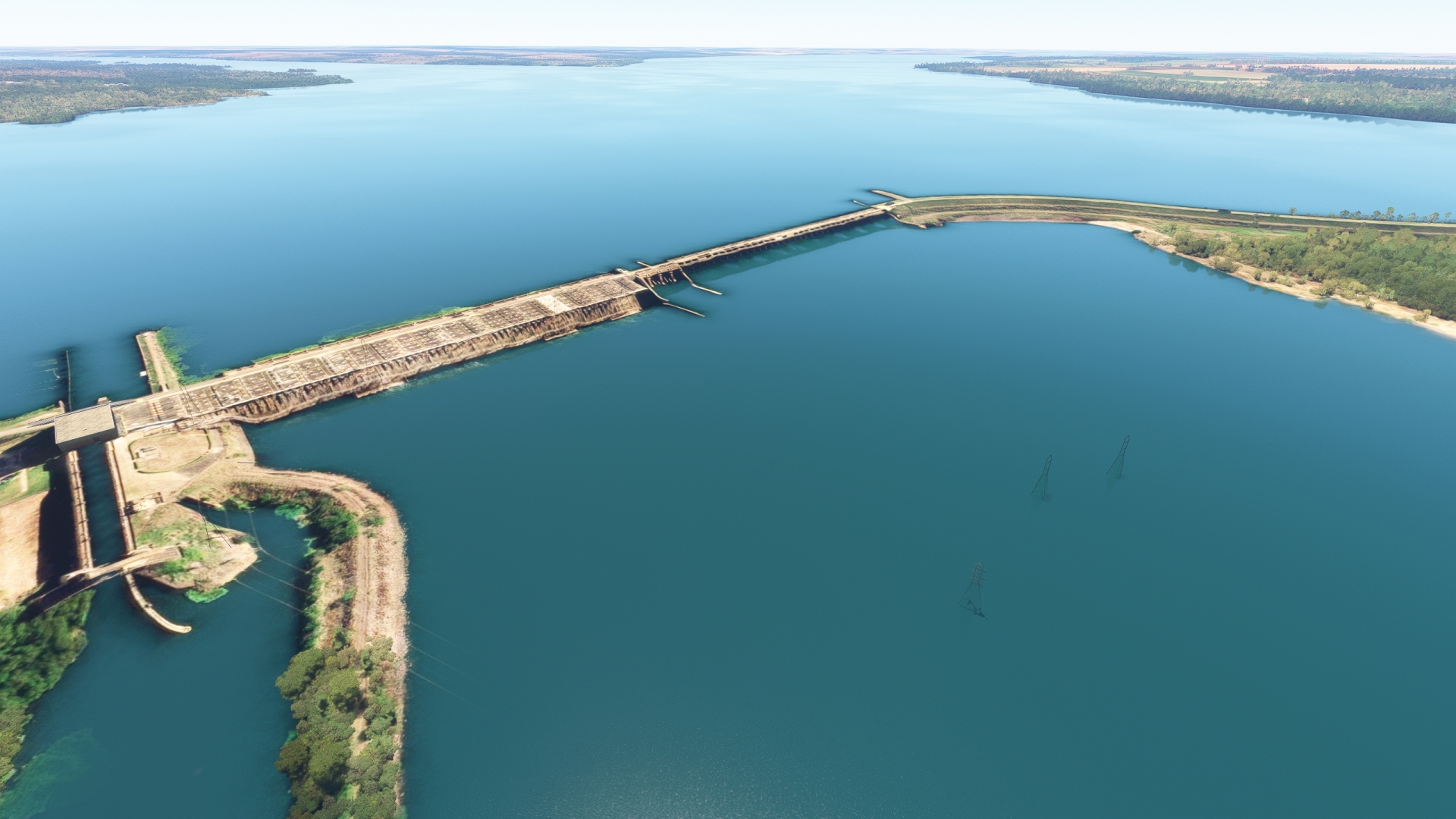
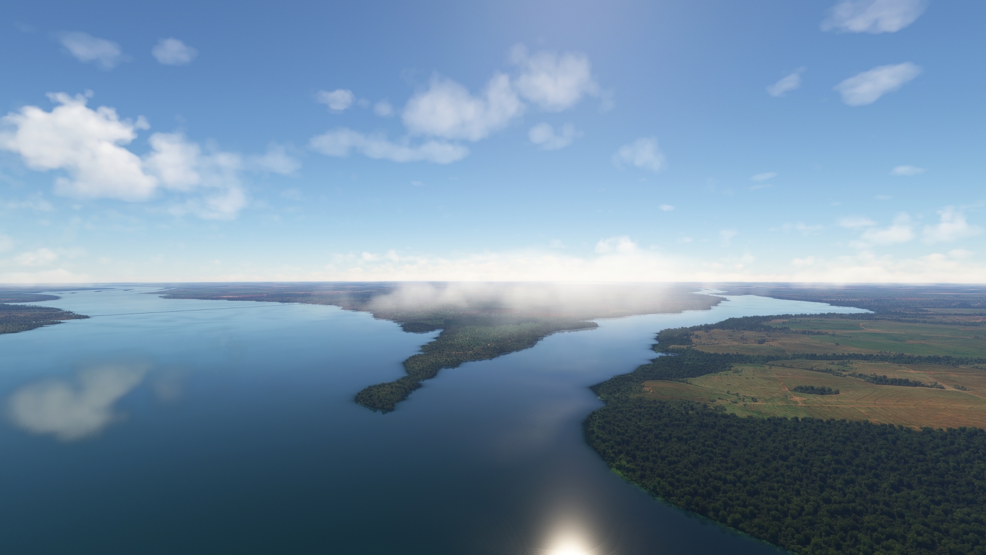
Engineer Sergio Motta Dam(POI2) to Sergio Motta Reservoir(POI3)
Distance: 33.19NM Bearing: 73° 16 minutes
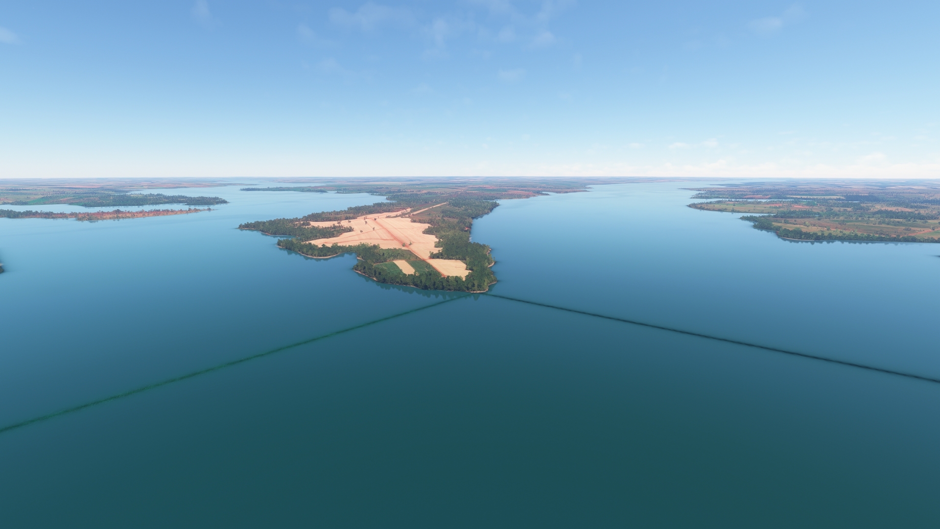
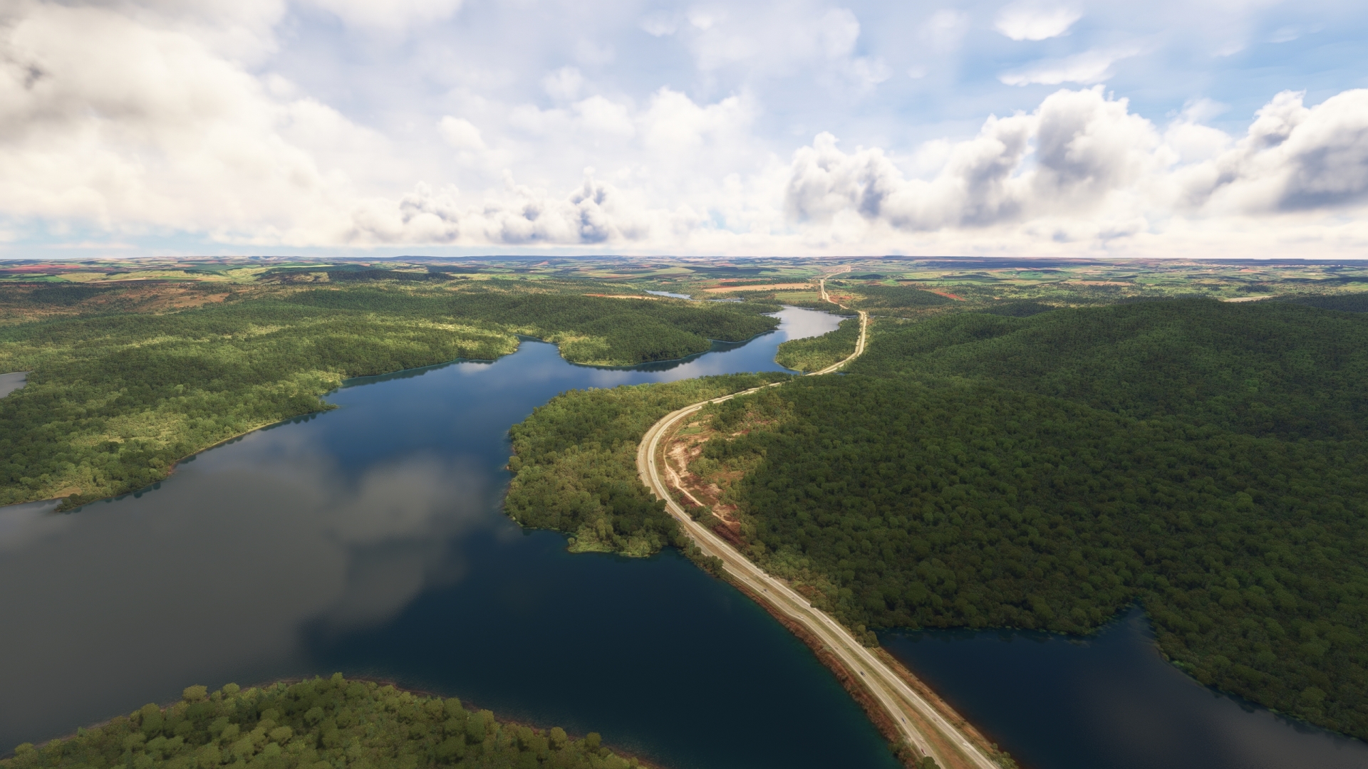
Pass over the dam and fly along the length of the Engineer Sérgio Motta Reservoir, which is held back by the Engineer Sérgio Motta Dam. The reservoir fills a valley and is up to 7 miles wide by 155 miles long. At 870 square miles, the Engineer Sérgio Motta Reservoir is Brazil’s fourth largest reservoir by surface area.
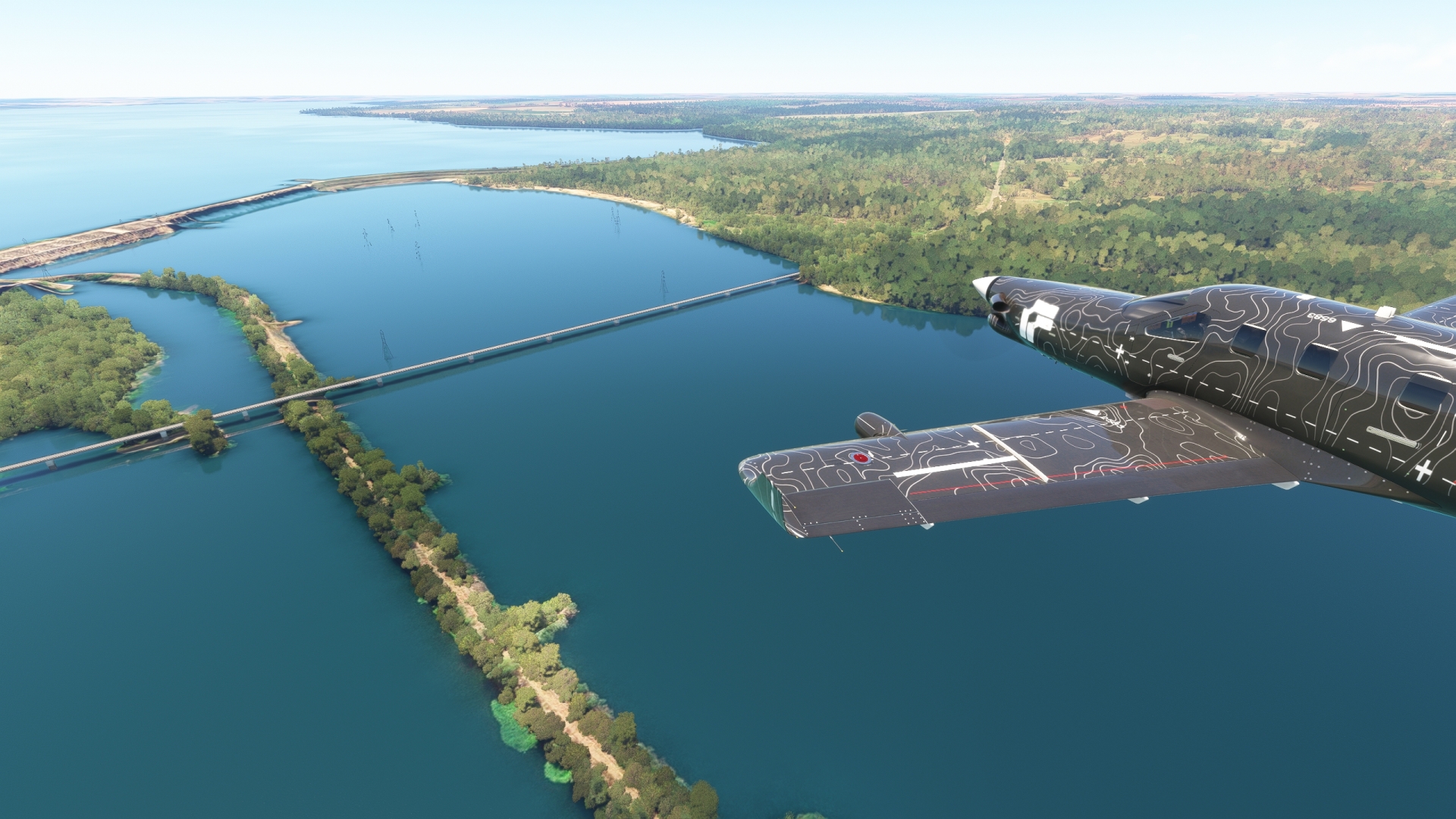
Sergio Motta Reservoir(POI3) to Presidente Epitacio(SDEP)
Distance: 29.18NM Bearing: 59° 14 minutes
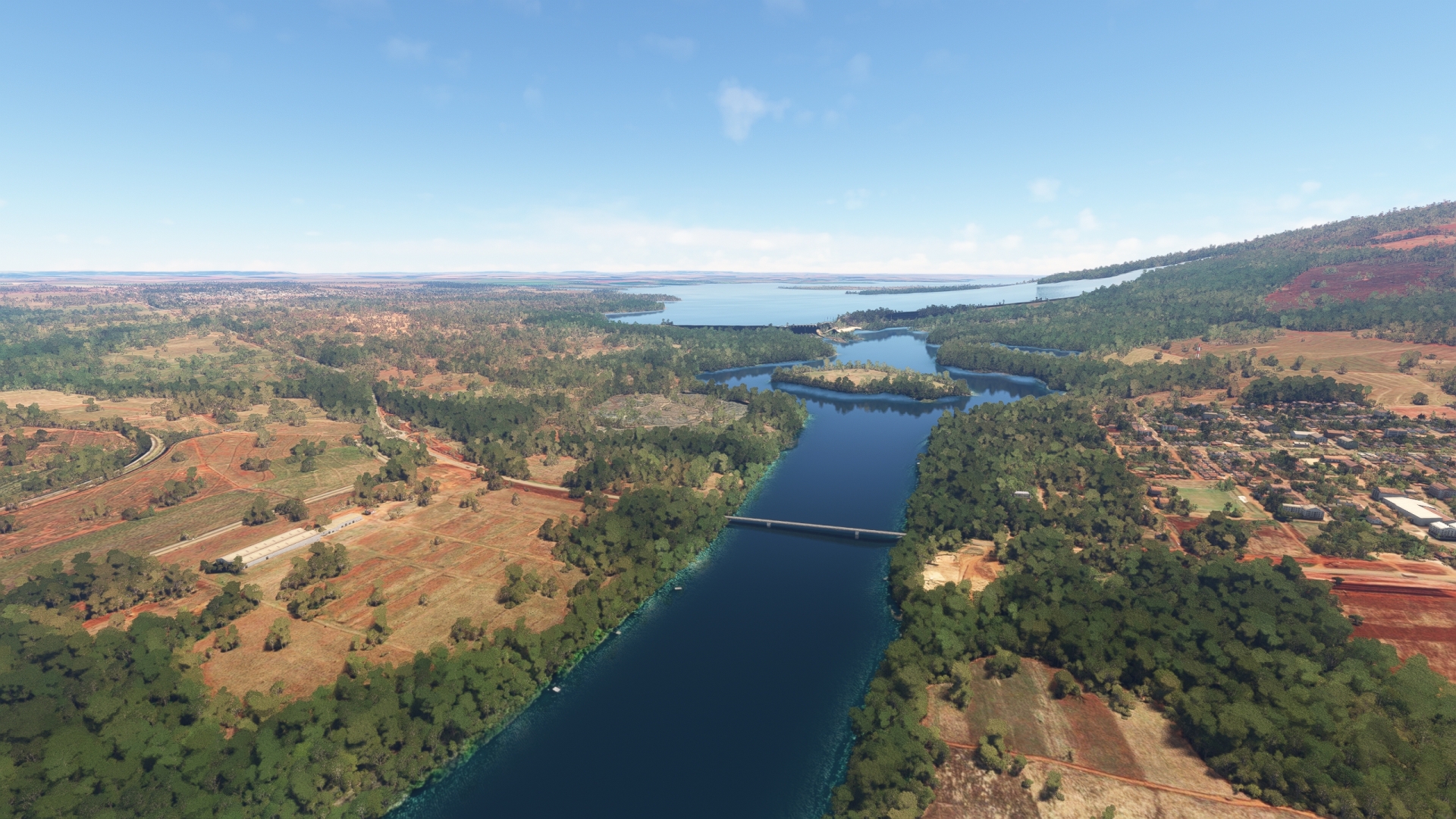
Skirt the eastern edge of Sérgio Motta Reservoir and gain a visual on the Hélio Serejo Bridge, which spans the reservoir. Land at Presidente Epitacio Airport (SDEP), located just to the north of the bridge on its eastern side.
Leg 2
Presidente Epitacio to Malibu Confinamento – Mc Airport
Leg Distance: 70.67 Approximate time at 125kts: 34 minutes.
Presidente Epitacio(SDEP) to Panorama(POI4)
Distance: 28.55NM Bearing: 50° 14 minutes
Lift off from Presidente Epitacio Airport and continue tracking the eastern side of the Sérgio Motta Reservoir to the town of Panorama. The town is located near the juncture of the Paraná River and the reservoir.
Panorama(POI4) to Francisco de Sa Bridge(POI5)
Distance: 37.38NM Bearing: 43° 18 minutes
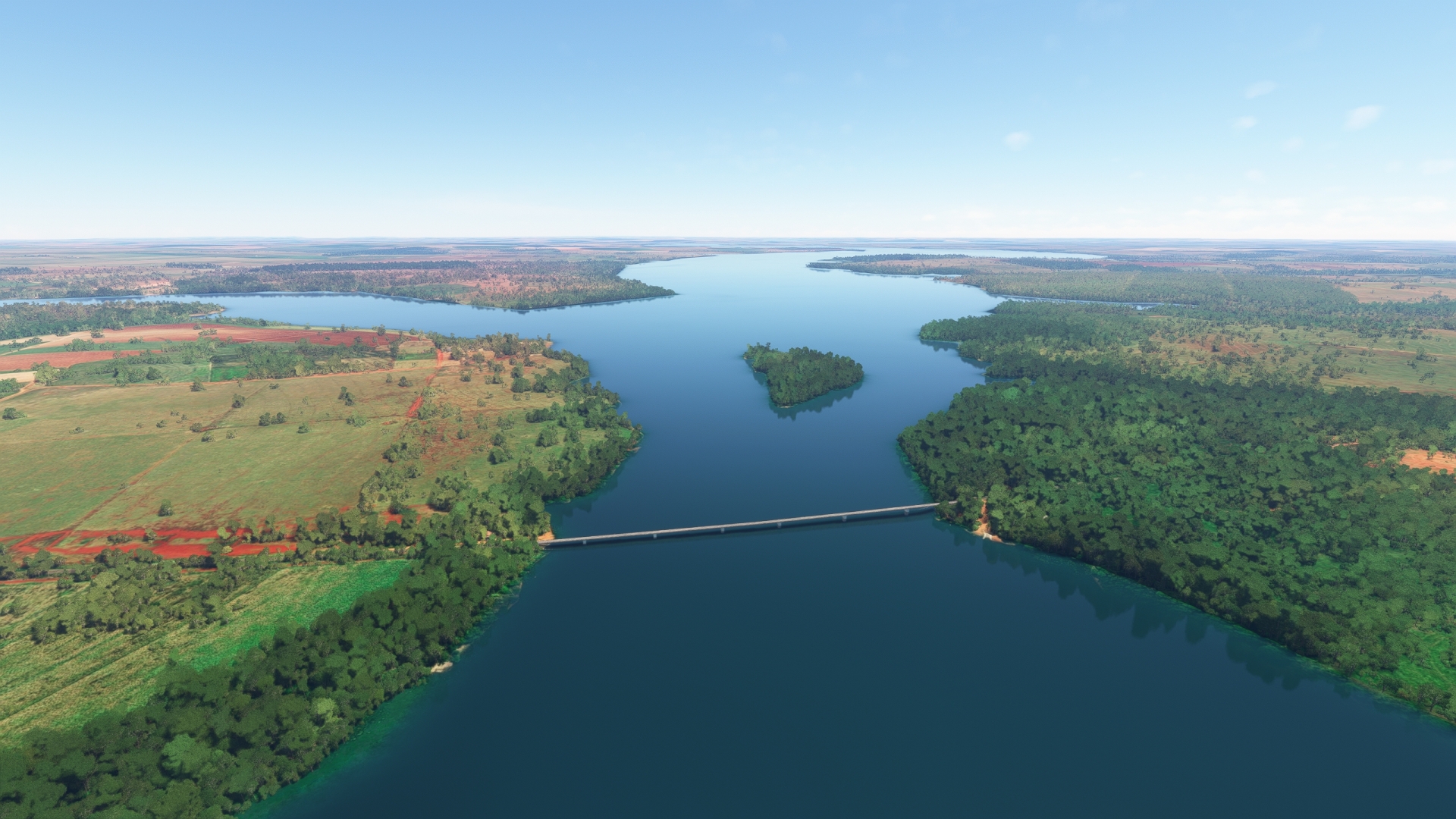
Track the river’s course to the northeast. Gain a visual on Três Lagoas, a city on the western bank of the Paraná River. Pass over the Francisco de Sá Bridge, which spans the Paraná River at a point adjacent the city.
Francisco de Sa Bridge(POI5) to Engineer Souza Dias Dam(POI6)
Distance: 0.71NM Bearing: 354° 0 minutes
Pass over the Engineer Souza Dias Dam, which holds back the Engineer Souza Dias Reservoir. Brazil constructed the dam for flood control and hydroelectric power generation.
Engineer Souza Dias Dam(POI6) to Malibu Confinamento – Mc Airport(SSBC)
Distance: 4.03NM Bearing: 57° 2 minutes
After passing over the dam, turn to the east-northeast and land at Malibu Confinamento Airport (SSBC).
Leg 3
Malibu Confinamento – Mc Airport to Usina Sao Simao
Leg Distance: 130.38 Approximate time at 125kts: 63 minutes.
Malibu Confinamento – Mc Airport(SSBC) to Tiete River(POI7)
Distance: 6.24NM Bearing: 28° 3 minutes
Lift off from Malibu Confinamento Airport and follow the eastern shoreline of the reservoir. Pass over the confluence of the Tieté River and the Engineer Souza Dias Reservoir. The river is used extensively by inland cargo ships.
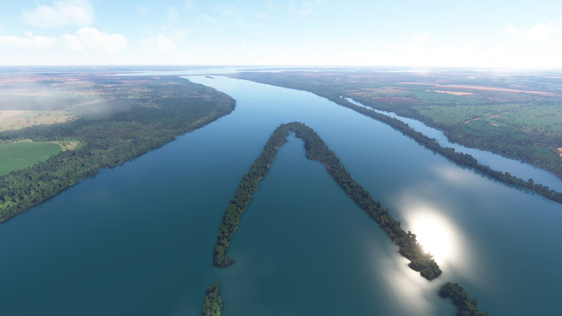
Tiete River(POI7) to Bat Islands(POI8)
Distance: 12.34NM Bearing: 62° 6 minutes
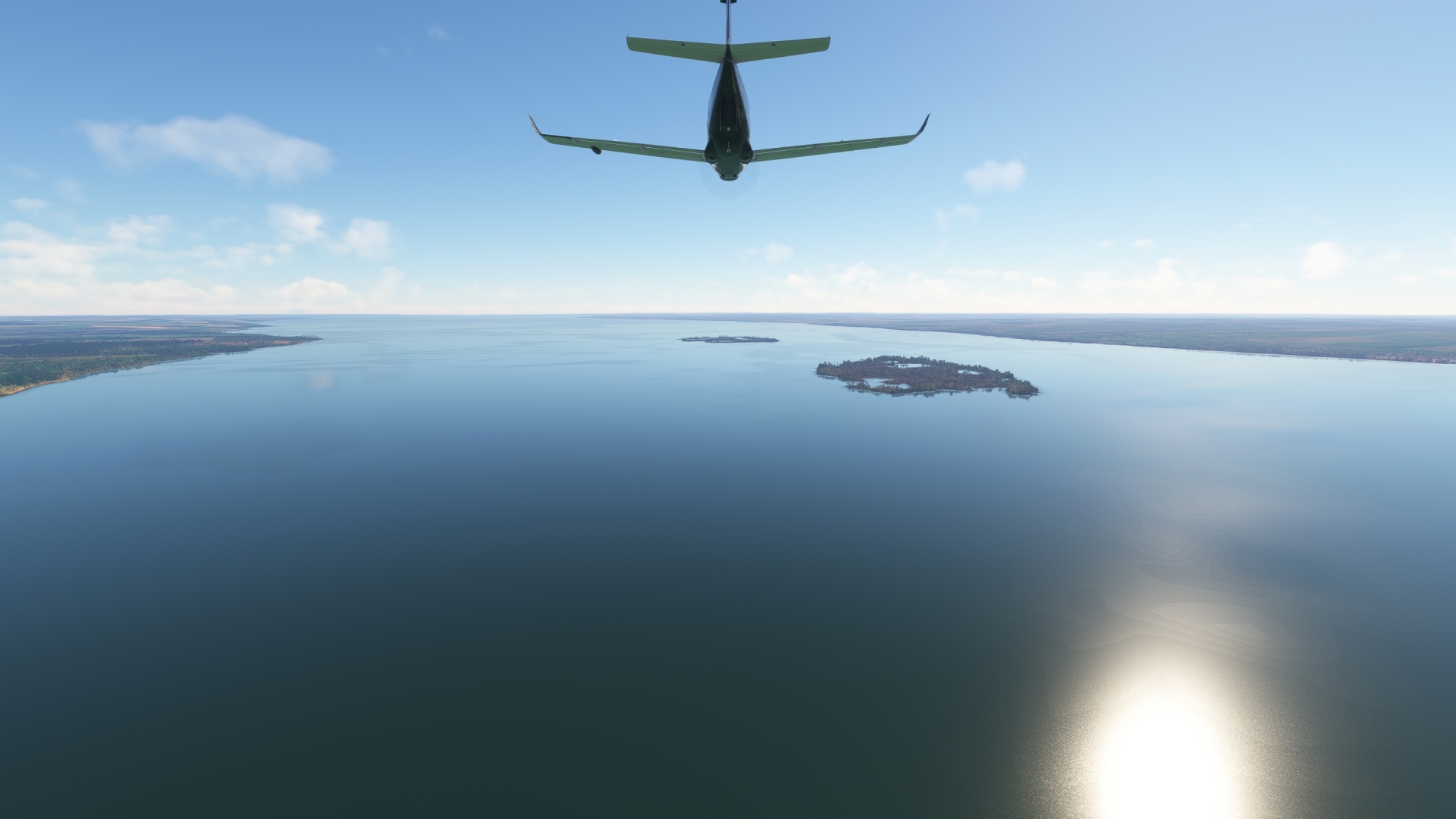
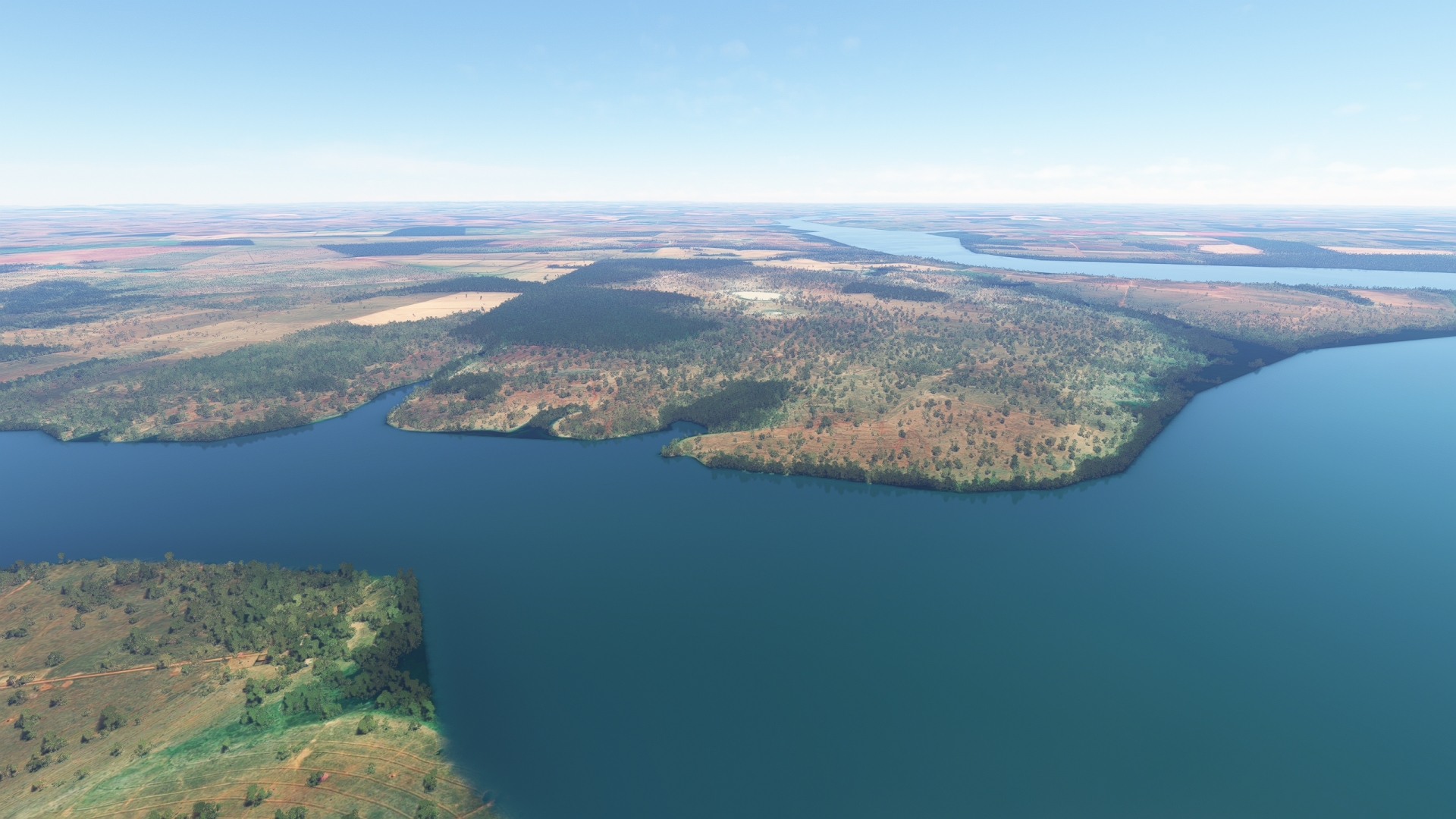
Continue flying along the Paraná River to the northeast to the Bat Islands (Ilhas de Morcegos). The small islands in the middle of the river are home to several species of bats.
Bat Islands(POI8) to Solteira Island Dam(POI9)
Distance: 6.39NM Bearing: 55° 3 minutes
Continue flying to the northeast to reach the Solteira Island Dam, another of the Paraná River’s large dams. Like the Engineer Souza Dias Dam and the Engineer Sérgio Motta Dam, the Solteira Island Dam was built for flood control and to generate hydroelectric power. It was named for Ilha Solteira, a town located just to the southeast of the dam on the eastern shore of the river.
The Paraná River and the greater Paraná River basin are immensely important to Brazil and to all of South America. The river and its tributaries drain most of southern Brazil and much of south-central South America. The river system is vital for irrigation, transport, and power generation. There are over 50 large dams throughout the river system.
Solteira Island Dam(POI9) to Confluence Rio Grande and the Paranaiba River(POI10)
Distance: 27.32NM Bearing: 69° 13 minutes
From the Solteira Island Dam, fly over Solteira Island Reservoir. Pass several arms of the reservoir, which are flooded valleys of regional tributaries of the Paraná River, and reach the confluence of the Paranaíba River and the Rio Grande. The confluence of the two large rivers forms the Paraná River.
Confluence Rio Grande and the Paranaiba River(POI10) to Porto Alencastro Bridge(POI11)
Distance: 25.36NM Bearing: 18° 12 minutes
Gain a visual on and pass over the Porto Alencastro Bridge, which spans the Paraná River at a regional narrow section.
Porto Alencastro Bridge(POI11) to Confluence of the Apore River and Paranaiba River(POI12)
Distance: 12.54NM Bearing: 44° 6 minutes
Continue on course, passing two large meanders of the Paranaíba River. Fly over the confluence of the Aporé River and the Paranaíba River. The Aporé meets the Paranaíba from the northwest. The juncture of the two rivers marks the triple border of the Brazilian states of Mato Grosso do Sul, Goiás, and Minas Gerais.
Confluence of the Apore River and Paranaiba River(POI12) to Leopoldo Moreira Bridge(POI13)
Distance: 35.33NM Bearing: 65° 17 minutes
Continue following the Paranaíba River to the northeast. Pass the confluences of several small tributaries then gain a visual on the town of Chaveslândia on the eastern bank of the Paranaíba. The Leopoldo Moreira Bridge spans the river at the town.
Pass over the bridge and turn to the northwest. The São Simão Dam and reservoir are located just upstream of the bridge and the town of Chaveslândia.
Leopoldo Moreira Bridge(POI13) to Usina Sao Simao(SSYO)
Distance: 4.86NM Bearing: 336° 2 minutes
Follow Brazil Highway BR-364 to the town of São Simão, which lies on the southwestern shore of the São Simão Reservoir. Land at Usina São Simão Airport (SSYO), located just to the northwest of the town.
Leg 4
Usina Sao Simao to Jatai
Leg Distance: 100.92 Approximate time at 125kts: 48 minutes.
Usina Sao Simao(SSYO) to Cachoeira Alta(POI14)
Distance: 25.33NM Bearing: 324° 12 minutes
Lift off from Usina São Simão Airport and follow BR-364 to the northwest to the town of Cachoeira Alta, which is Portuguese for High Waterfall. The region is known for its beautiful waterfalls.
Cachoeira Alta(POI14) to Aparecida do Rio Doce(POI15)
Distance: 30NM Bearing: 357° 14 minutes
From Cachoeira Alta, continue following BR-364 to the northwest. This part of Brazil is an important beef cattle production area. Follow BR-364 to the town of Aparecida do Rio Doce, located where the highway crosses the Doce River.
Aparecida do Rio Doce(POI15) to Holy Spirit Cathedral(POI16)
Distance: 41.14NM Bearing: 328° 20 minutes
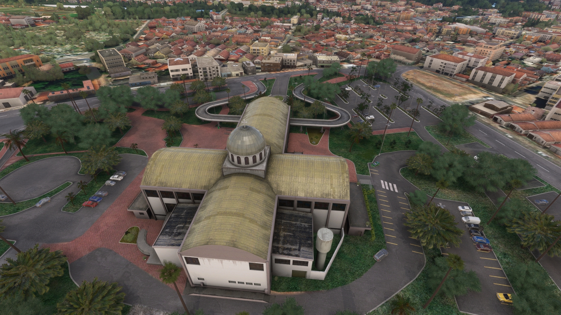
Follow BR-364 to the town of Jataí. The Town is located on the banks of the Claro River and is an important center for regional agriculture. One of the most notable landmarks in Jataí is the Holy Spirit Cathedral, a large Catholic church featuring modern architecture. The Holy Spirit Cathedral is located in the city’s center.
Holy Spirit Cathedral(POI16) to Jatai(SWJW)
Distance: 4.45NM Bearing: 340° 2 minutes
Maintain heading to the northwest and land at Jataí Airport (SWJW), located to the north of Brazil Highway BR-158.
Leg 5
Jatai to Fazenda Canada
Leg Distance: 92.38 Approximate time at 125kts: 44 minutes.
Jatai(SWJW) to Brazil Highway BR-060(POI17)
Distance: 7.78NM Bearing: 138° 4 minutes
Lift off from Jataí Airport and set a course to the southeast from the airfield. Skirt the northern edge of Jataí and gain a visual on the intersection of Brazil Highway BR-060, which runs southwest-northeast, and Alameda das Primaveras, which intersects BR-060 from the west. Pass over BR-060 just north of the intersection.
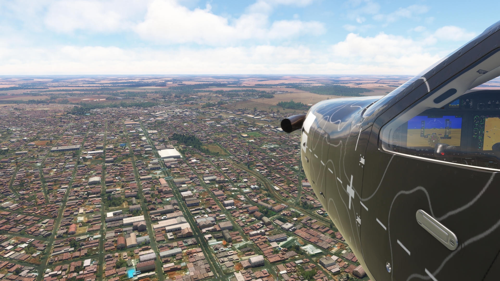
Brazil Highway BR-060(POI17) to Rio Verde(POI18)
Distance: 42.08NM Bearing: 103° 20 minutes
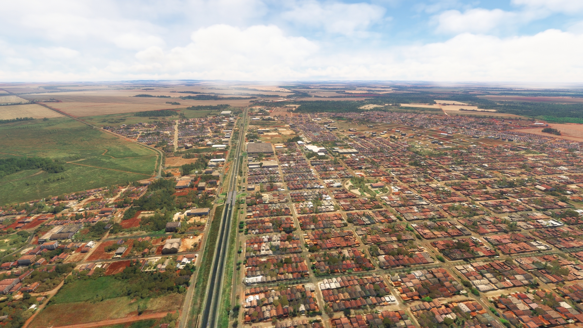
Turn onto an east-northeast course and follow BR-060. Pass over the Doce River, which intersects BR-060, and continue on course to the city of Rio Verde. Rio Verde is a center of agriculture production in the area. The region is an important producer of soybeans, corn, wheat, rice, cotton, and several other crops.
Rio Verde(POI18) to Verdao River(POI19)
Distance: 25.91NM Bearing: 75° 12 minutes
Continue following BR-060 to its intersection with the Verdão River. The region is a mosaic of vibrant agriculture production.
Verdao River(POI19) to Acreuna(POI20)
Distance: 13.47NM Bearing: 71° 6 minutes
Maintain heading to the northeast, following the BR-060 corridor, to reach the city of Acreúna. Like the city of Rio Verde, Acreúna is an agriculture center.
Acreuna(POI20) to Fazenda Canada(SJER)
Distance: 3.14NM Bearing: 69° 2 minutes
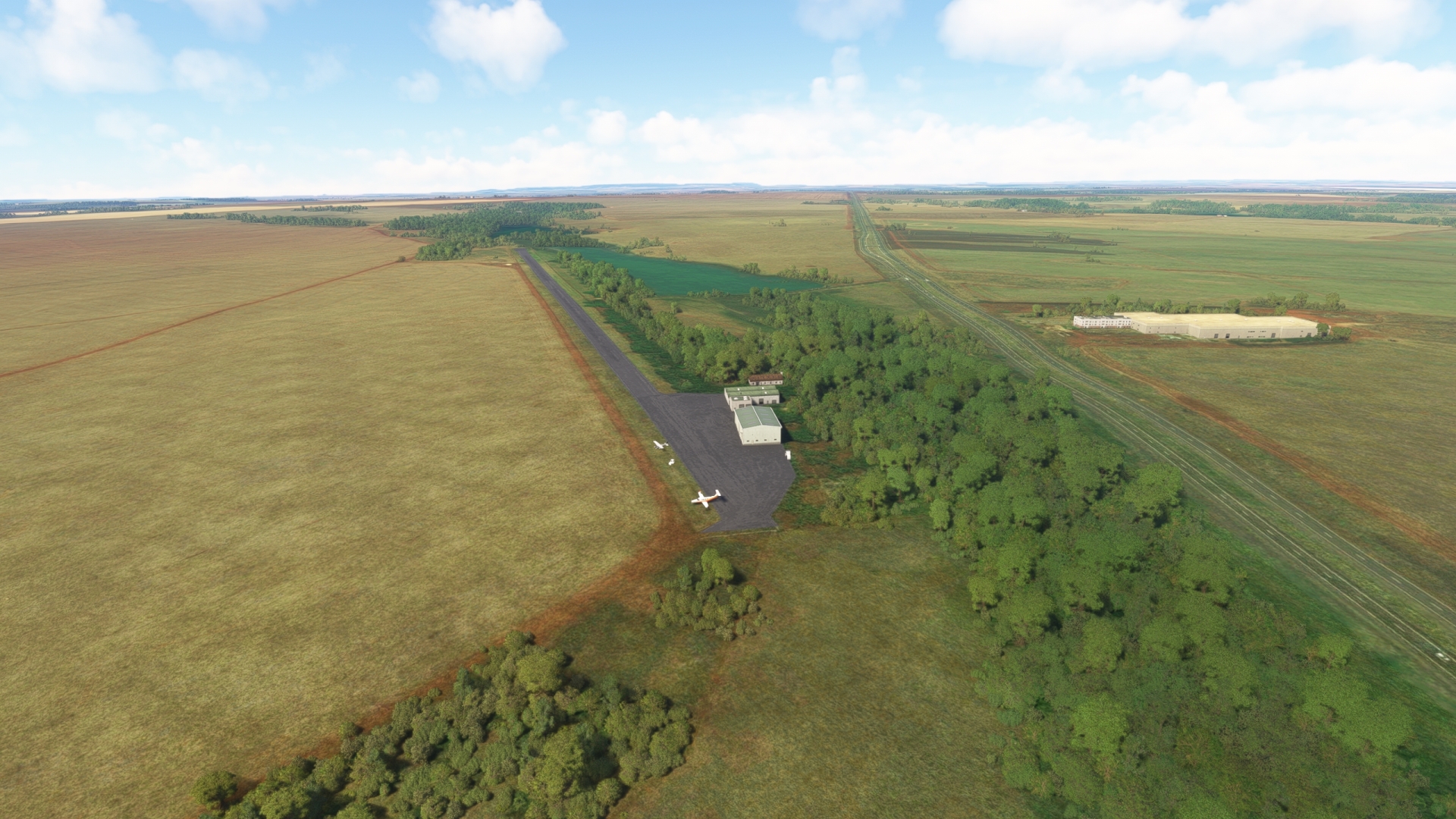
Maintain heading over Acreúna and land at Fazenda Canada Airport (SJER), located just to the northwest of BR-060.
Leg 6
Fazenda Canada to Santa Genoveva
Leg Distance: 87.13 Approximate time at 125kts: 42 minutes.
Fazenda Canada(SJER) to Indiara(POI21)
Distance: 23.89NM Bearing: 77° 11 minutes
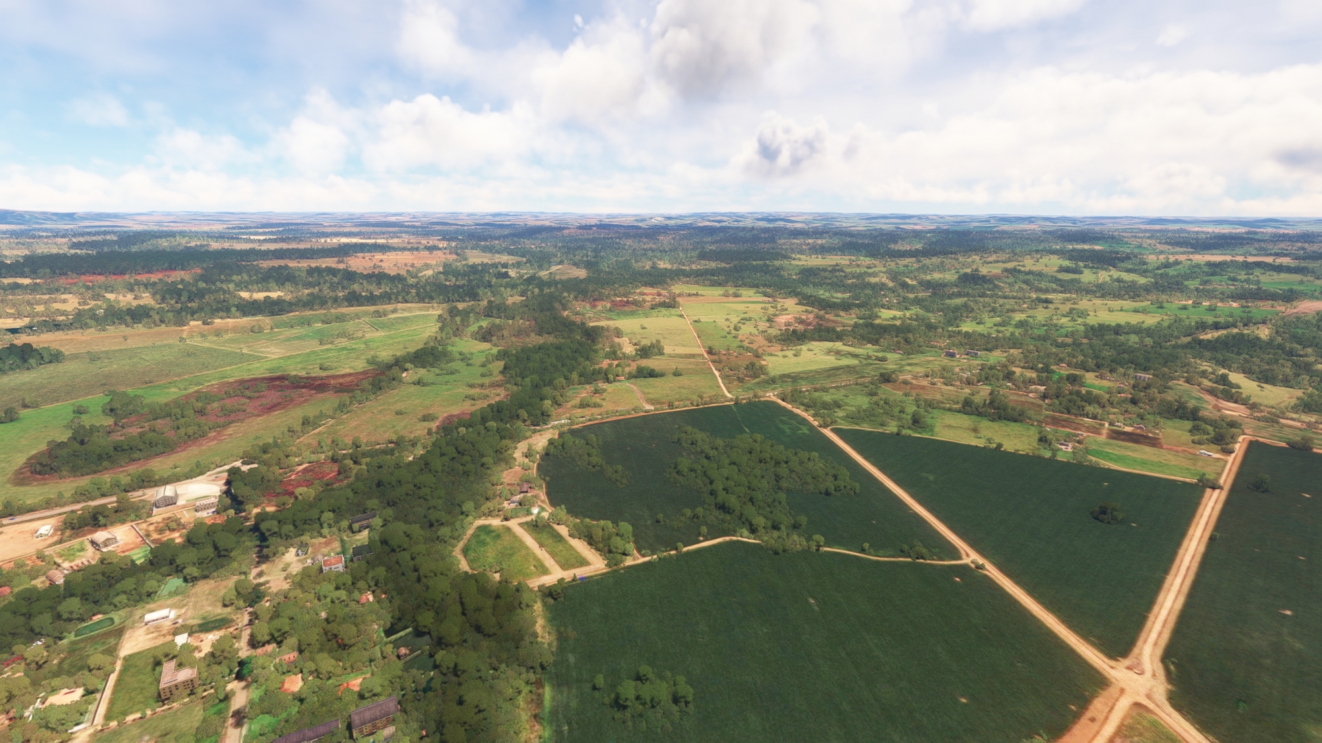
Take-off from Fazenda Canada Airport and resume following the BR-060 corridor to the northeast. Pass over patchworks of green and brown fields to reach Indiara. The town was established in the late 1950s and was named after the Indaiá tree, a type of palm tree native to the area. Today, Indiara is a center of cotton and soybean production, two major Brazilian export crops.
Indiara(POI21) to Guapo(POI22)
Distance: 31.37NM Bearing: 77° 15 minutes
Continue on a heading to the northeast, tracking BR-060 to reach the town of Guapó.
Guapo(POI22) to Santa Maria(POI23)
Distance: 7.16NM Bearing: 351° 3 minutes
Over Guapó, turn to the northwest and follow the corridor of route GO-219. Gain a visual on the small village of Santa Maria, located at the intersection of GO-219 and the highway GO-050, which trends southwest-northeast. Pass over Santa Maria and begin following GO-050 to the northeast.
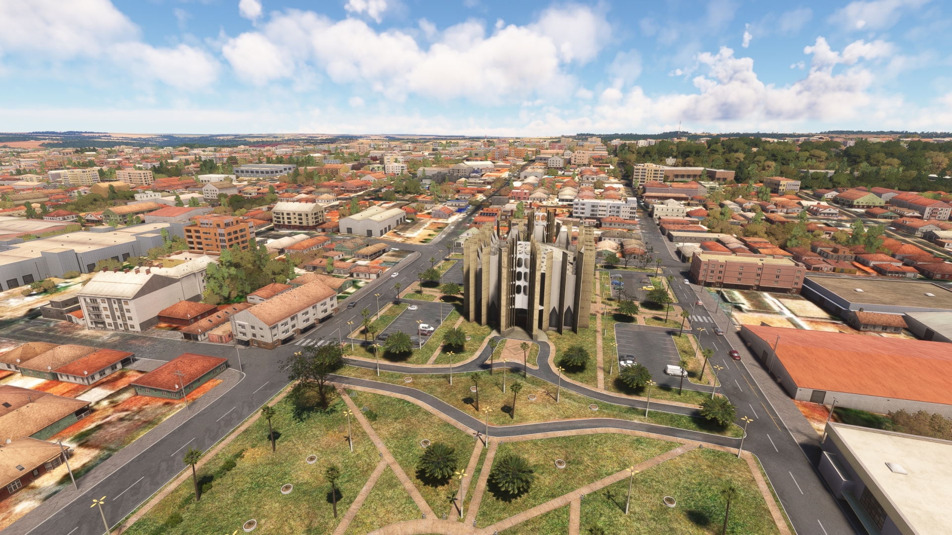
Santa Maria(POI23) to Basilica of the Eternal Father(POI24)
Distance: 8.48NM Bearing: 79° 4 minutes
Fly along GO-050 to the city of Trindade. Founded in the 1940s, the city is today one of Brazil’s most important destinations for religious celebrations. One of the key locations for these festivities is the Basilica of the Eternal Father, located in the heart of Trindade.
Basilica of the Eternal Father(POI24) to Goiania(POI25)
Distance: 12.15NM Bearing: 116° 6 minutes
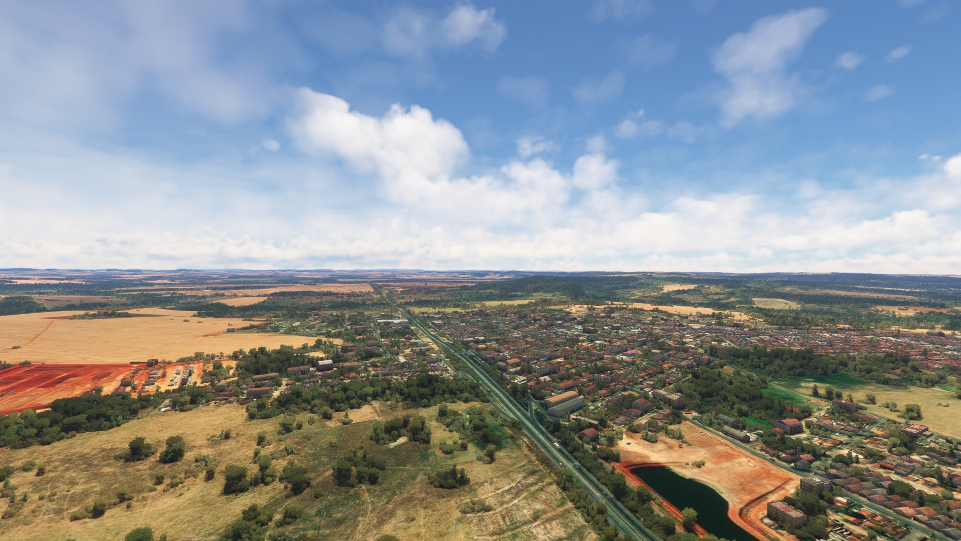
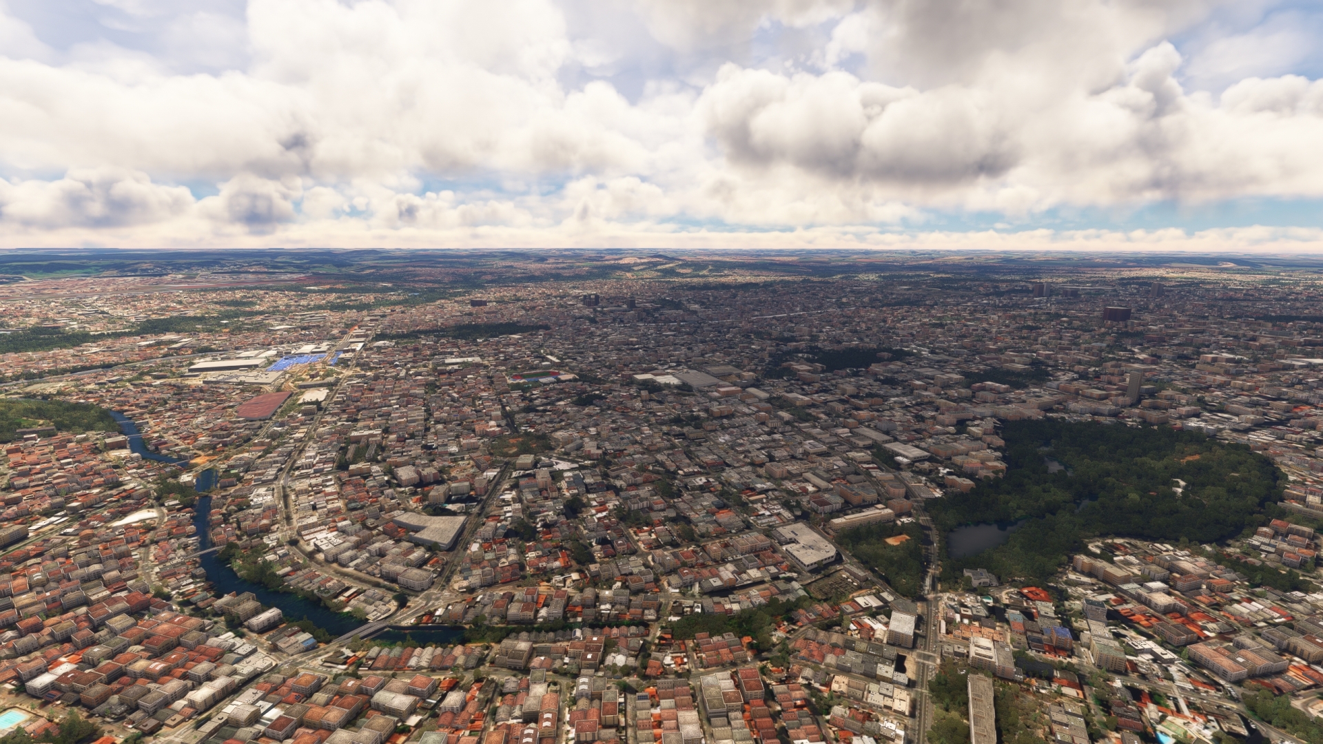
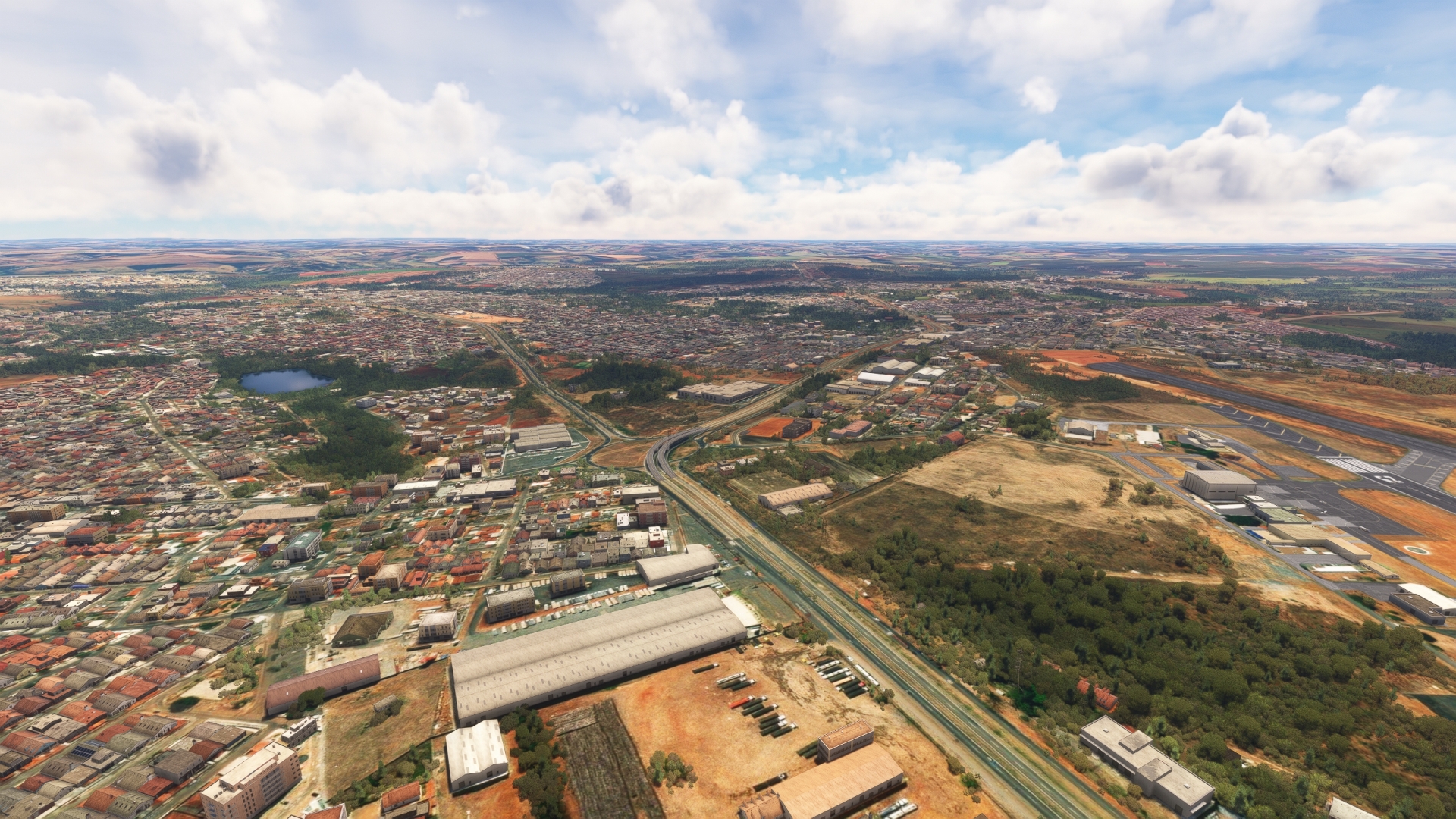
Turn to the east and follow GO-060 into the city of Goiânia, the capital of the Brazilian state of Goiás. With a population of 1.5 million, Goiânia is the largest city in the state and the tenth largest in Brazil. Goiânia was founded in 1933 and was developed as a planned city. It is renowned for its beautiful skyline, monuments, statues, and architecture.
Goiania(POI25) to Santa Genoveva(SBGO)
Distance: 4.08NM Bearing: 71° 2 minutes
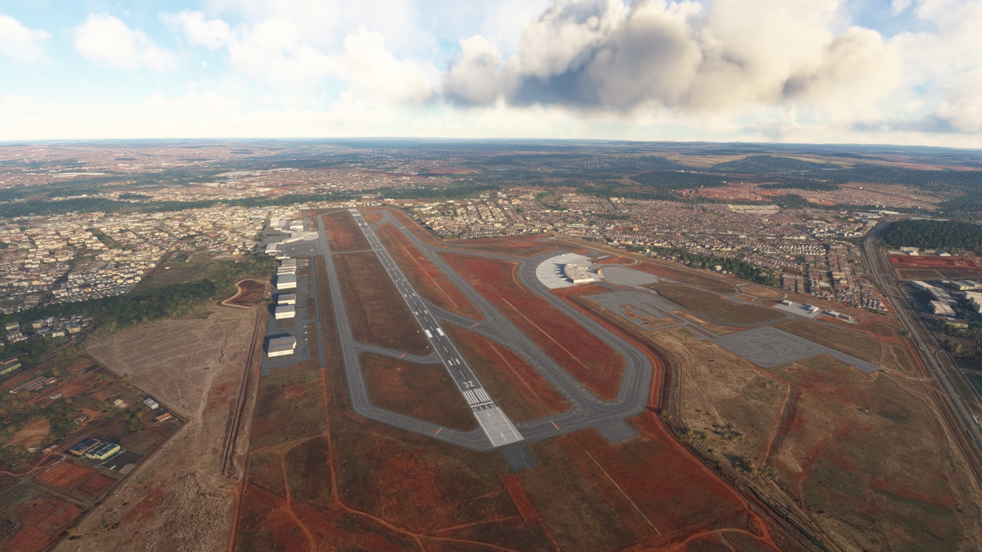
Once over the heart of the city, turn to the northeast and gain a visual on Goiânia/Santa Genoveva International Airport (SBGO). Land at the facility to end this leg of the journey.
Leg 7
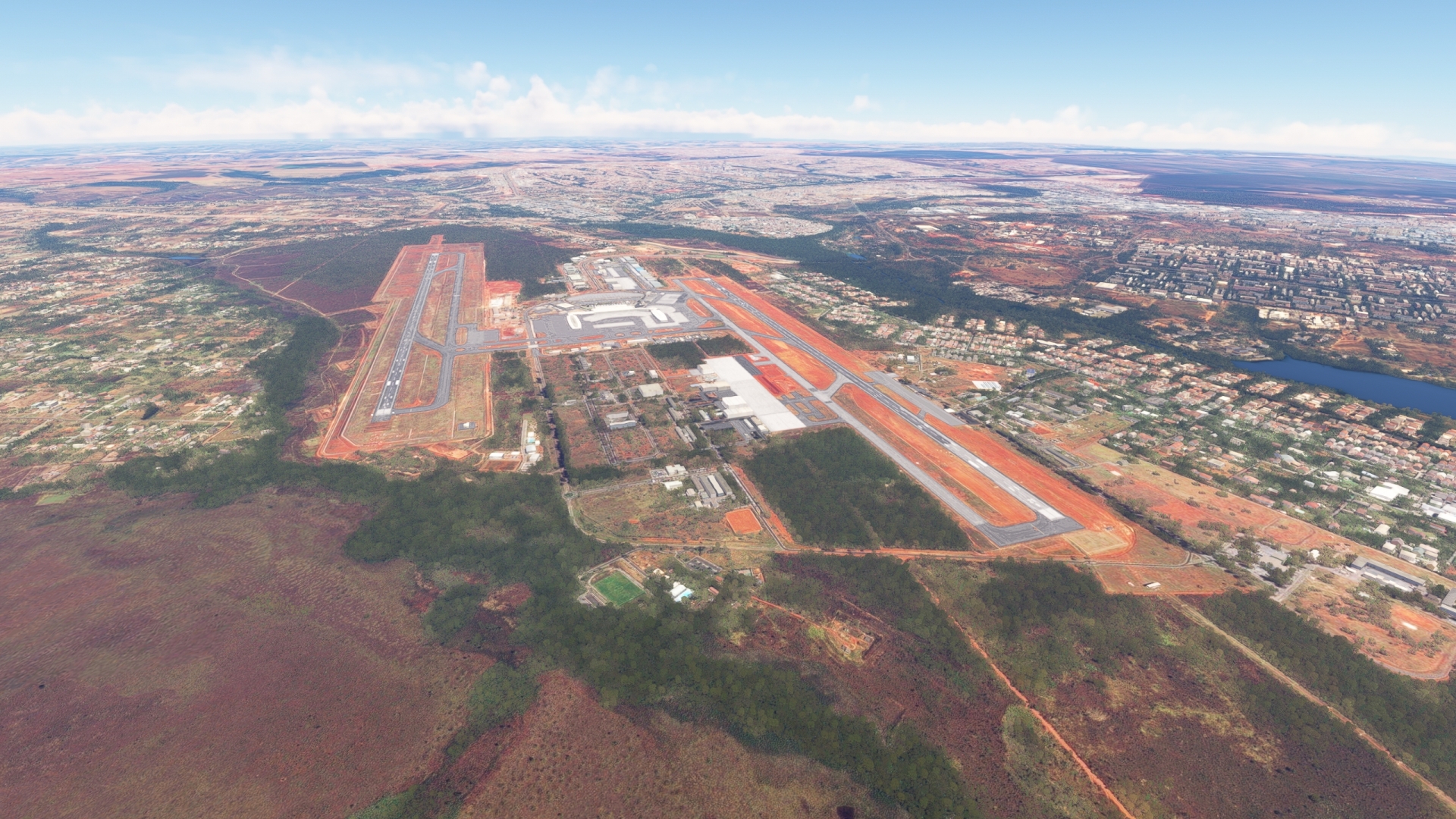
Santa Genoveva to Pres Juscelino Kubitschek Intl
Leg Distance: 106.18 Approximate time at 125kts: 51 minutes.
Santa Genoveva(SBGO) to Altamiro de Moura Pacheco State Park(POI26)
Distance: 7.09NM Bearing: 58° 3 minutes
Lift off from SBGO and set a course to the northeast. Follow Brazil Highway BR-153 to Altamiro de Moura Pacheco State Park. The Park is located adjacent to the eastern shoreline of Ribeirão João Leite Reservoir and protects stands of forest. The reservoir was created in the 1990s by the placement of a dam on the João Leite River for drinking water for residents of Goiânia.
Altamiro de Moura Pacheco State Park(POI26) to Anapolis(POI27)
Distance: 16.75NM Bearing: 71° 8 minutes
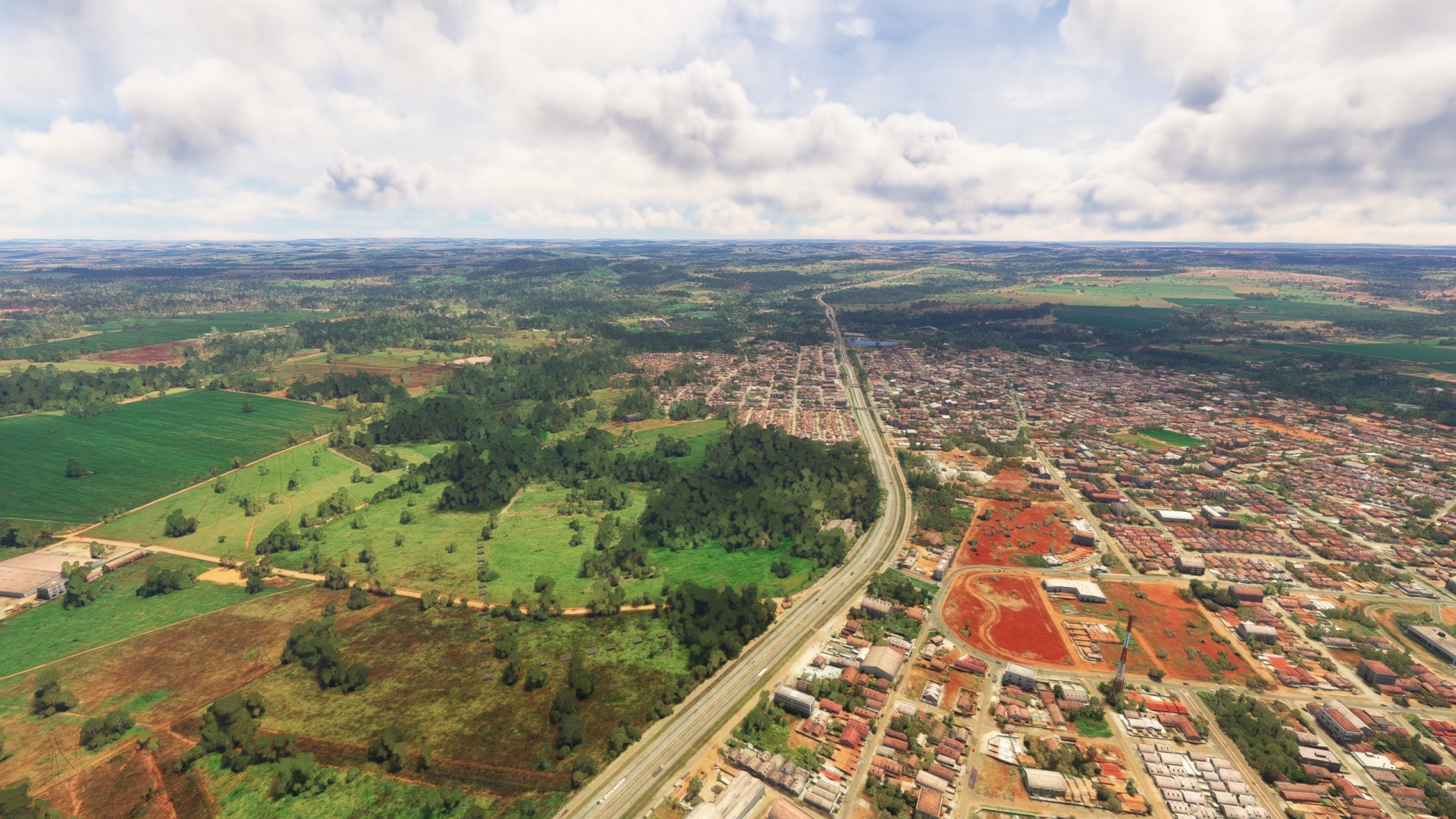
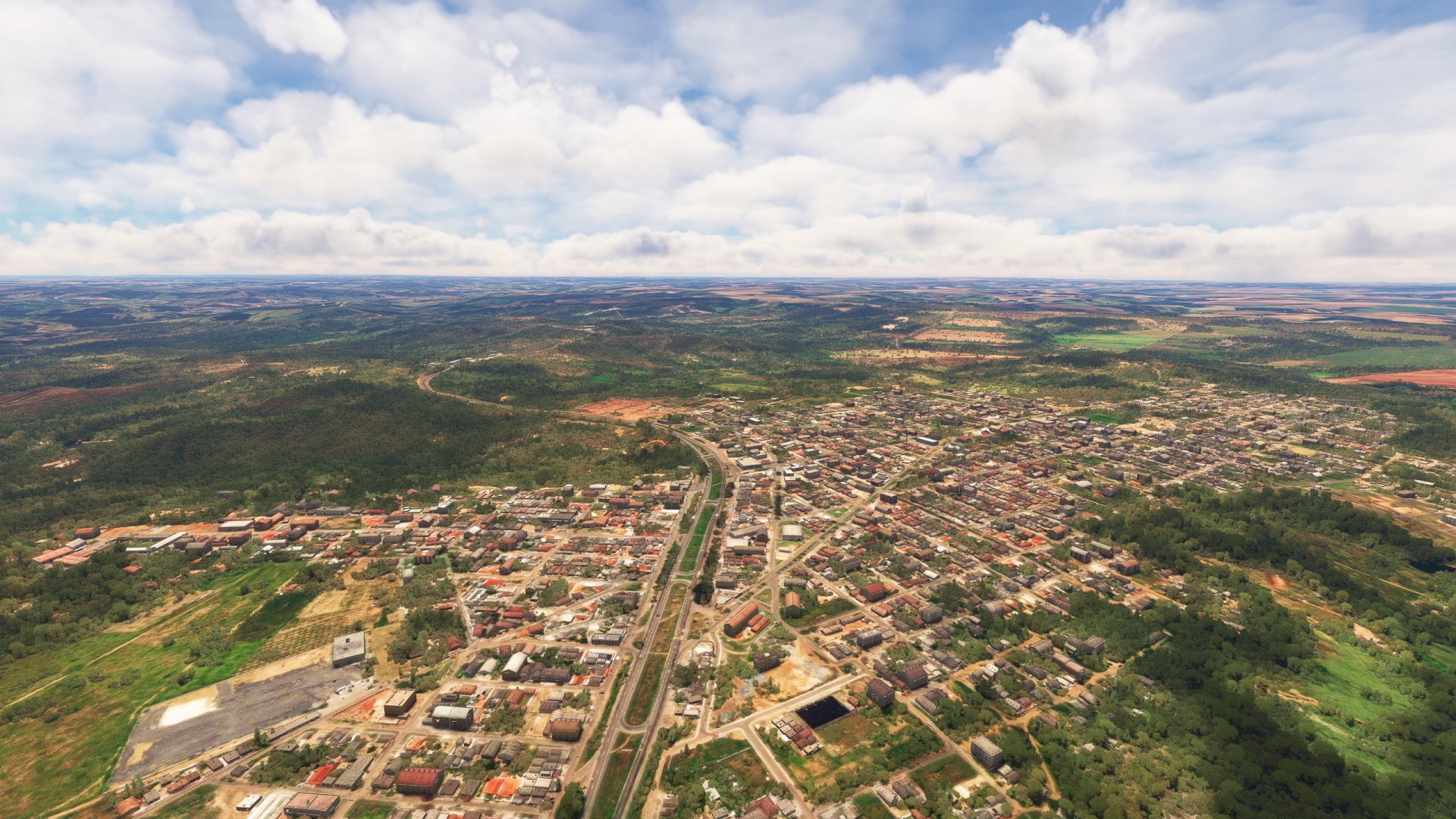
Continue following BR-153 to the northeast. Pass the small village of Terezópolis de Goiás and then fly over the city of Anápolis. Anápolis was founded in the 1700s as a stopover for gold prospectors. Today, Anápolis is an important center of industry and transport.
Anapolis(POI27) to Abadiania(POI28)
Distance: 16.03NM Bearing: 74° 8 minutes
Maintain heading over Anápolis and begin following Brazil Highway BR-060 to the northeast and pass over the agricultural town of Abadiânia.
Abadiania(POI28) to Alexania(POI29)
Distance: 13.11NM Bearing: 84° 6 minutes
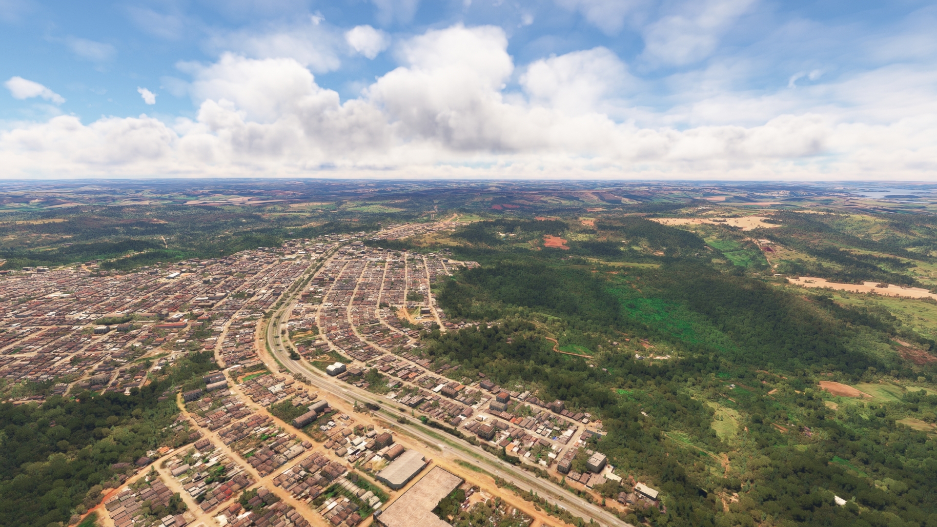
Continue following BR-060 and pass the northwestern extremity of Lake Corumbá IV, a large reservoir. Continue on course, following BR-060, to reach the town of Alexânia. The town was established in the late 1950s during the construction of nearby Brasília, the capital of Brazil.
Alexania(POI29) to Heineken Brewery(POI30)
Distance: 6.53NM Bearing: 128° 3 minutes
At Alexânia, continue following BR-060 to the east-southeast. Gain a visual on the small village of Morada do Sol. A Heineken brewery is located on the north side of BR-060 just to the west of the village.
Heineken Brewery(POI30) to Descoberto River(POI31)
Distance: 7NM Bearing: 99° 3 minutes
Continue tracking BR-060 and gain a visual on the Descoberto River. The Descoberto is one of the rivers that feeds into Lake Corumbá IV. Pass over the river where it crosses BR-060.
Descoberto River(POI31) to Brasilia(POI32)
Distance: 28.4NM Bearing: 72° 14 minutes
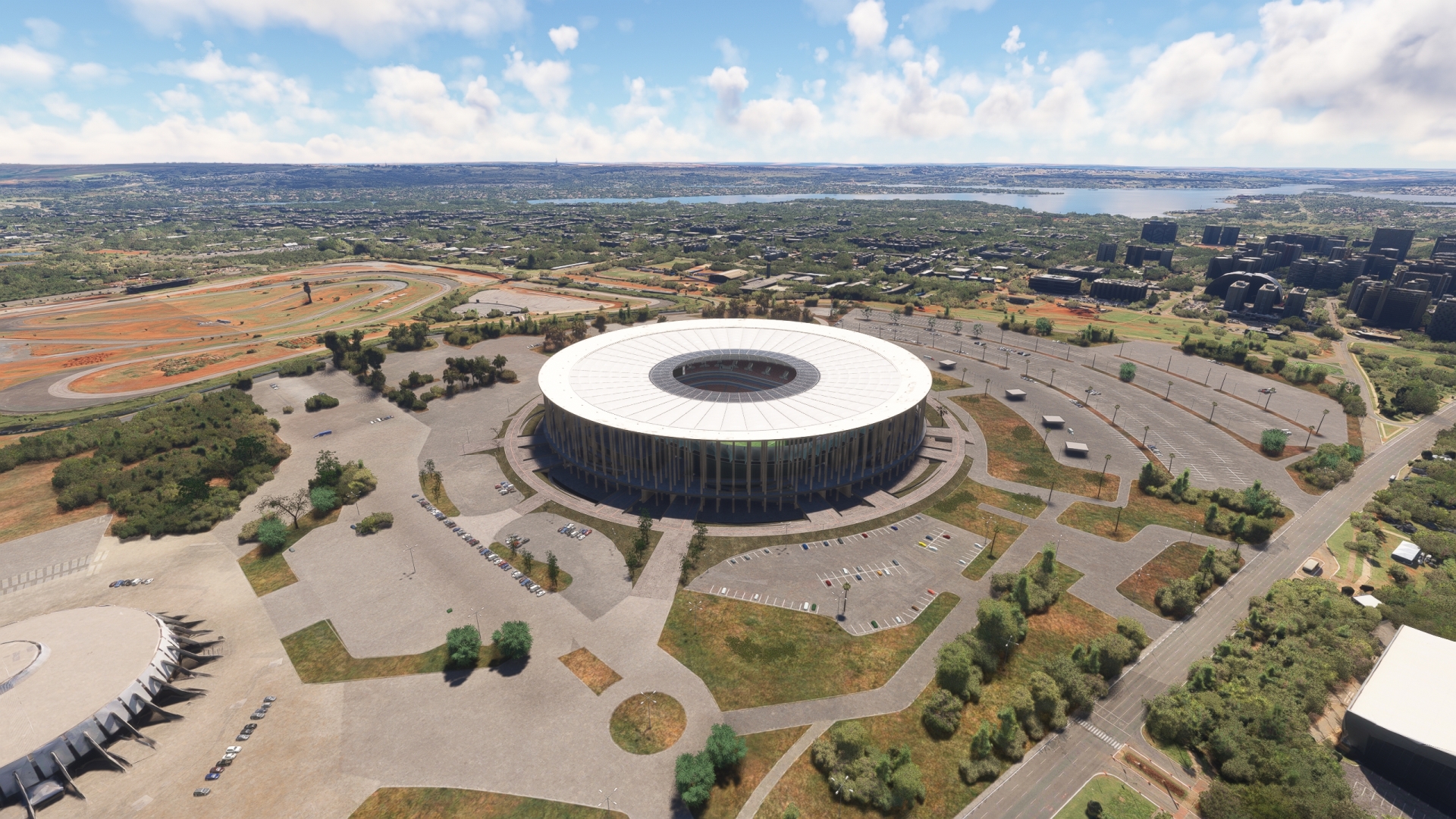
Follow BR-060 to the east-northeast. Gain a visual on the skyline of Brasília and Paranoá Lake. Paranoá Lake was created by the damming of the Paranoá during construction of Brasília. The heart of Brasília is built just to the west of the lake.
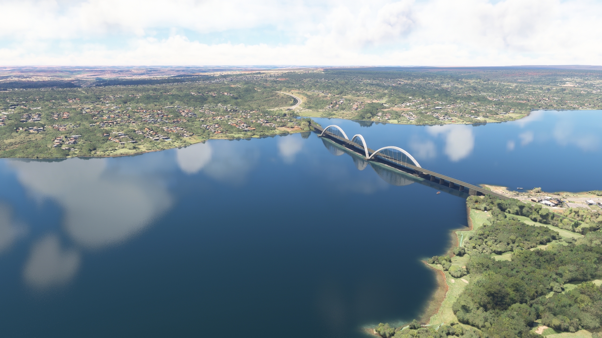
Brasília was founded in 1960 as Brazil’s national capital and is a planned city. From the air, its form resembles a bird. It is Brazil’s third most populous metropolitan area and comprises some of the world’s most spectacular modern architecture. Impressive sights in Brasília include the Metropolitan Cathedral, the National Congress Palace, the Juscelino Kubitschek bridge, and Alvorada Palace.
Brasilia(POI32) to Paranoa Lake(POI33)
Distance: 4.83NM Bearing: 131° 2 minutes
After passing over the heart of Brasília, fly out over Paranoá Lake, just to the east of the center of the city.
Paranoa Lake(POI33) to Pres Juscelino Kubitschek Intl(SBBR)
Distance: 6.44NM Bearing: 261° 3 minutes
Turn onto a southwestern heading over Paranoá Lake and land at Brasília–President Juscelino Kubitschek International Airport (SBBR), bringing this wonderful journey into the heart of Brazil to a close.