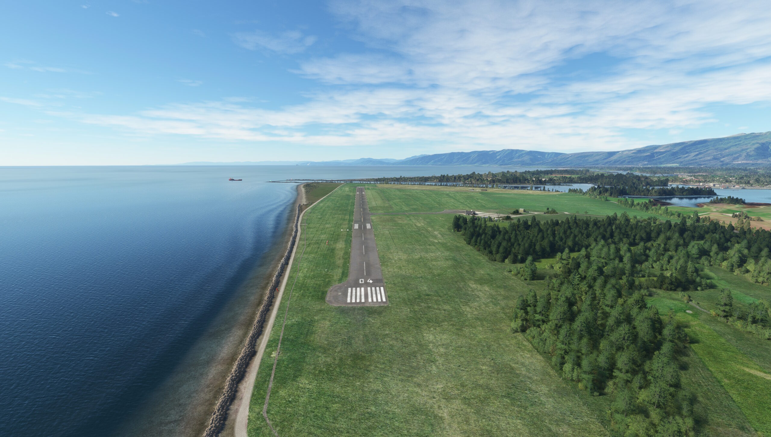
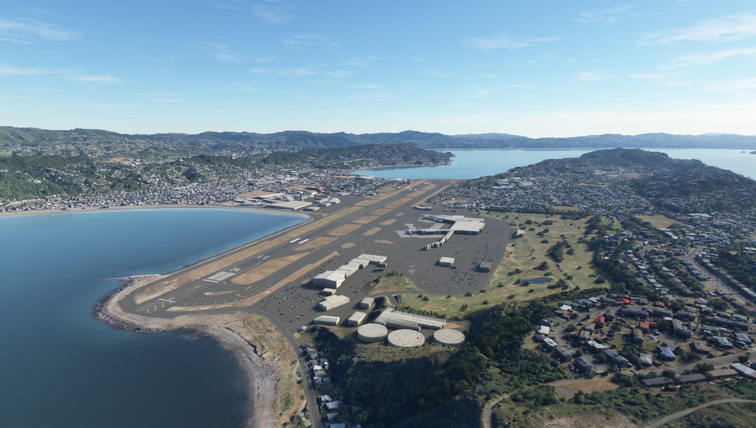
The Golden Age of Flight, the period of aviation history that spanned from the mid-1920s to the mid-1930s, witnessed great strides in aircraft technology and countless record-setting feats of speed, altitude, and distance. It was also a time of extensive development of airline routes throughout the world, including in New Zealand.
Air Travel (NZ) Ltd, New Zealand’s first airline, took to the southern skies for the first time in 1934. The operation pioneered air routes on the west coast of the South Island to serve isolated communities with mail, cargo, and passenger service. The first of these routes connected locations on the northern west coast of the South Island and the Cook Strait, which separates the country’s North Island from its South Island.
This route included New Zealand’s capital city of Wellington, located on the southern extremity of the North Island.
In 1947, the route was taken over by New Zealand’s National Airways Corporation (NAC). NAC flew the line using a number of different aircraft for the first few years it operated the route. In the Spring of 1952, NAC began flying the route with the Douglas DC-3, and it kept the airplane on the line for nearly two decades, finally phasing it out in 1970. The iconic DC-3 became a welcome daily sight to people of the communities it served through the years. Today, while the locations along the route have grown, the scenes from the air remain much the same as they did decades past when the DC-3 roared between destinations along the line.
Total Legs: 3 Total Distance: 229 Total Time(125kts): 1 hours 49 minutes
Leg 1
Hokitika to Westport
Leg Distance: 65.81 Approximate time at 125kts: 32 minutes.
Hokitika(NZHK) to Taramakau River(POI1)
Distance: 11.07NM Bearing: 12° 5 minutes
After lifting off from Hokitika Airport, the base of operations of Air Travel (NZ) Ltd and for National Airways Corporation for this route, track the coastline to the northeast, flying just inland of the breaking waves of the Tasman Sea. Continue to the Taramakau River where it meets the sea.
Taramakau River(POI1) to Greymouth(POI2)
Distance: 6.68NM Bearing: 4° 3 minutes
Continue flying in a northeast heading just inland of the shoreline to reach Greymouth, a regular stop during the early years of the route’s operation. Greymouth is the largest city in the West Coast region of New Zealand’s South Island with a population of just over 8,000 inhabitants.
Greymouth(POI2) to Runanga(POI3)
Distance: 4.49NM Bearing: 8° 2 minutes
Continue to the northeast, passing over the Grey River and then parallel a rail line, staying just to the rail line’s west. Continue to Runanga, a small town that grew due to the local coal mining industry.
Runanga(POI3) to Barrytown(POI4)
Distance: 9.96NM Bearing: 356° 5 minutes
From Runanga, continue following the coastline to reach Barrytown, a town that traces its lineage to a regional gold rush in the 1860s.
Barrytown(POI4) to Pakiroa Beach(POI5)
Distance: 3.87NM Bearing: 330° 2 minutes
The next point along the coastline journey is Pakiroa Beach.
Pakiroa Beach(POI5) to Punakaiki(POI6)
Distance: 4.39NM Bearing: 348° 2 minutes
Parallel the coast, flying over the Punakaiki River and then pass just inland of Dolomite Point. Just past Dolomite Point lies Punakaiki, a town surrounded by a number of natural sights popular with tourists, including forests and sea cliffs.
Punakaiki(POI6) to Fox River(POI7)
Distance: 5.05NM Bearing: 2° 2 minutes
Pass over the Pororari River and skirt the Pororari Lagoon, which lies just inland of the Tasman Sea. Continue northeast, passing just inland of dramatic coastal forms, including Perpendicular Point, named due to its vertical cliffs that are perpendicular to the sea. Pass over the small Meybille and Hatters Bays and then fly just inland of Kaipakati Point. Just past Kaipakati Point lies the Fox River where it meets the Tasman Sea.
Fox River(POI7) to Charleston(POI8)
Distance: 7.86NM Bearing: 355° 4 minutes
Enjoy sights of forest, sea cliffs, and long stretches of beach on the journey up the coastline. Gain a visual on a trio of small, narrow bays: Doctor Bay, Constant Bay, and Joyce Bay. Just inland of these bays lies Charleston, a town that traces its roots to the gold rush in the area in the 1860s and today serves as a tourist hub.
Charleston(POI8) to Virgin Flat(POI9)
Distance: 6.8NM Bearing: 355° 3 minutes
On the journey up the coastline, fly out over a gentle bay, then pass back over land and fly over the Totara River where it meets the Tasman Sea. Skirt the eastern side of the Okari Lagoon and then reach Virgin Flat.
Virgin Flat(POI9) to Westport(NZWS)
Distance: 5.64NM Bearing: 26° 3 minutes
Pass inland of Cape Foulwind and sight the Buller River in the Distance. Westport Airport lies on Carters Beach, just to the west of the juncture of the Buller River and the Tasman Sea. The airport was an integral part of the route flown by the DC-3 throughout its tenure on the line.

Leg 2
Westport to Nelson
Leg Distance: 86.11 Approximate time at 125kts: 41 minutes.
Westport(NZWS) to Denniston Coal Mining Historic Area(POI10)
Distance: 9.49NM Bearing: 67° 5 minutes
After lifting back into the sky, fly due east and sight the town of Denniston. Just to the west of the town is the Denniston Coal Mining Historic Area, a historical site dedicated to coal mining’s importance to the development of the region.
Denniston Coal Mining Historic Area(POI10) to Buller River(POI11)
Distance: 15.89NM Bearing: 75° 8 minutes
Set a course to the east-southeast and fly over the Mackley River and then pass over a range of northeast-southwest trending peaks, including Mount Lyell, 3,583 feet above sea level. Once past the mountains, sight the Buller River at its confluence with the Deepdale River.
Buller River(POI11) to Murchison(POI12)
Distance: 8.25NM Bearing: 77° 4 minutes
Maintain course and gain a visual on the confluence of the Buller River and the Matakitaki River. The rural town of Murchison lies just to the southeast of this river juncture.
Murchison(POI12) to Longford(POI13)
Distance: 7.22NM Bearing: 15° 3 minutes
Turn into a northeast heading and follow the Buller River and State Highway 6, which parallels the Buller River. The small town of Longford lies just to the south of where State Highway 6 makes a distinct turn to the east.
Longford(POI13) to Kawatiri(POI14)
Distance: 8.56NM Bearing: 64° 4 minutes
From Longford, turn into a heading that is just north of due east and sight the juncture of State Highway 6 and the St. Arnaud–Kawatiri Highway, which lies at the confluence of the Hope River and the Buller River. This highway and river juncture is the location of the small settlement of Kawatiri, site of a long-abandoned railway station in the area.
Kawatiri(POI14) to Glenhope(POI15)
Distance: 3.66NM Bearing: 8° 2 minutes
From Kawatiri, turn to the northeast and follow the Hope River and State Highway 6, which parallels the Hope River, to the small town of Glenhope. Glenhope, like Kawatiri, is home to a small, long-defunct railway station.
Glenhope(POI15) to Atapo(ATAPO)
Distance: 6.42NM Bearing: 43° 3 minutes
From Glenhope, follow State Highway 6 in a northeast heading. Pass north of Clark Knob, 2,149 feet above sea level. Continue on a northeast heading past where State Highway 6 turns to the north and sight the Motupiko River. Locate where Rainy River Road crosses the Motupiko River and follow the road to the small settlement of Atapo.
Atapo(ATAPO) to Wai-iti River(POI16)
Distance: 8.11NM Bearing: 29° 4 minutes
Continue in a northeast heading from Atapo, passing over the Motueka River near the juncture of Stock Road and Kerr Hill Road. Sight the Wai-iti River in the distance and pass over it at its crossing with Stock Road.
Wai-iti River(POI16) to Brightwater(POI17)
Distance: 11.59NM Bearing: 21° 6 minutes
From the Wai-iti River, parallel Highway 6, staying to its south, and reach the town of Brightwater, which lies on the banks of the Wairoa River. This portion of the flight features views that have changed little since the earliest days of this route.
Brightwater(POI17) to Nelson(NZNS)
Distance: 6.92NM Bearing: 22° 3 minutes
From Brightwater, continue following State Highway 6 and sight the Tasman Bay and then the city of Nelson, which lies on its shores. Nelson is the oldest town in the South Island and was a key reason for the establishment of this air route in the 1930s. Gain a visual on Nelson Airport and bring the DC-3 onto a smooth landing.

Leg 3
Nelson to Wellington Intl
Leg Distance: 77.26 Approximate time at 125kts: 37 minutes.
Nelson(NZNS) to Boulder Bank(POI18)
Distance: 7.35NM Bearing: 20° 4 minutes
After lifting off from Nelson Airport, track the coastline to the northeast of the city to Boulder Bank, an 8-mile stretch of rocky beach that lies on the eastern margin of Tasman Bay.
Boulder Bank(POI18) to Pepin Island(POI19)
Distance: 5.55NM Bearing: 28° 3 minutes
Continue to the northeast and fly over Pepin Island, at the center of which lies Stuart Hill, 1,316 feet above sea level.
Pepin Island(POI19) to Whangamoa(POI20)
Distance: 4.64NM Bearing: 74° 2 minutes
From Pepin Island, fly to the east-southeast and fly over Whangamoa, which lies just to the south of the confluence of the Whangamoa and Collins Rivers.
Whangamoa(POI20) to Kaiuma Bay(POI21)
Distance: 12.7NM Bearing: 88° 6 minutes
Continue on an east-southeast course and sight Omahakie Stream. The stream flows into Kaiuma Bay, which is a southern component of Pelorus Sound. Fly over Kaiuma Bay.
Kaiuma Bay(POI21) to Waikawa Bay(POI22)
Distance: 11.66NM Bearing: 75° 6 minutes
From Kaiuma Bay, continue flying on an east-southeast course over a small stretch of land, then out over Moetapu Bay. Cross over a small peninsula and then pass over Queen Charlotte Sound. Gain a visual on the town of Waikawa, and fly just to its north, over Waikawa Bay.
Waikawa Bay(POI22) to Rahotia(POI23)
Distance: 5.48NM Bearing: 74° 3 minutes
Maintaining course, cross over land again and fly just to the south of Mount Kahikatea, 2,100 feet above sea level. Gain a visual on Rahotia, a peak that stands 2,005 feet above sea level, and fly over its summit.
Rahotia(POI23) to Red Rocks(POI24)
Distance: 25.37NM Bearing: 79° 12 minutes
Continue on course, flying out over the Cook Strait. Nearing the coast of the Wellington area, gain a visual on Te Kopahou hill, 1,591 feet above sea level. Just to the south of Te Kopahou lies Devil’s Gate, a rugged beach head that overlooks the Cook Strait. Red Rocks, an ancient volcanic formation with a deep crimson hue, lies just to the east of Devil’s Gate.
Red Rocks(POI24) to Wellington Intl(NZWN)
Distance: 4.51NM Bearing: 39° 2 minutes
After passing over Red Rocks, turn into a northeast heading and gain a visual on Wellington Airport. Bring the DC-3 down, bringing this recreation of New Zealand’s first air route to a close.

