Puerto Rico is a United States island territory located on the northeastern periphery of the Caribbean Sea at its juncture with the Atlantic Ocean. Technically a commonwealth, Puerto Rico comprises over 140 islands, only the three largest of which are inhabited: the main island of Puerto Rico, Vieques Island, and Culebra Island. The main island of Puerto Rico lies 1,000 miles southeast of Miami, Florida, at the eastern extremity of the Greater Antilles archipelago. The island, which measures 110 miles east-to-west and 40 miles north-to-south, is predominantly hilly and mountainous throughout its interior and has a narrow coastal belt.
Located deep within the tropics, Puerto Rico experiences a tropical rainforest climate throughout most of its area. Temperatures are warm to hot throughout most of the year, and the island experiences two distinct seasons, a rainy season from April to November, and a dry season from December to March. Most of Puerto Rico’s 3.3 million inhabitants live along the island’s coast, with the capital, San Juan, having the highest population density.
Puerto Rico boasts a rich history that stretches back millennia. The Taíno, indigenous people of the Caribbean region, established numerous villages between the 7th and the 11th centuries. Italian explorer Christopher Columbus arrived at the island in November of 1493 during his second expedition to the New World, naming the island San Juan Bautista. Years later, the capital city was established on the northern coast of the island and came to be known as “Ciudad de Puerto Rico,” “Rich Port City” (today’s San Juan). Eventually, the entire island was called Puerto Rico. Under Spanish rule, Puerto Rico developed an extensive agriculture economy in the subsequent centuries, producing sugar cane, tobacco, and coffee, among other cash crops. Puerto Rico became an American territory in the wake of the Spanish-American War, which ended in 1898.
Puerto Rico has some of the most beautiful scenery in the Caribbean region. From the air, pilots can gaze upon turquoise water, winding stretches of beach, and forested sweeps of mountains, all in one vista. This Bush Trip explores Puerto Rico with a circumnavigation of the island. Beginning on the eastern tip of Puerto Rico, the journey winds clockwise along the coast, passing over notable interior landmarks. The flight ends on the northern coast at the capital of San Juan.
Total Legs: 3 Total Distance: 178 Total Time(125kts): 1 hours 25 minutes
Leg 1
Roosevelt Roads NS (Ofstie Field) to Santa Isabel
Leg Distance: 48.94 Approximate time at 125kts: 23 minutes.
Roosevelt Roads NS (Ofstie Field)(TJRV) to Naguabo(POI1)
Distance: 5.51NM Bearing: 263° 3 minutes
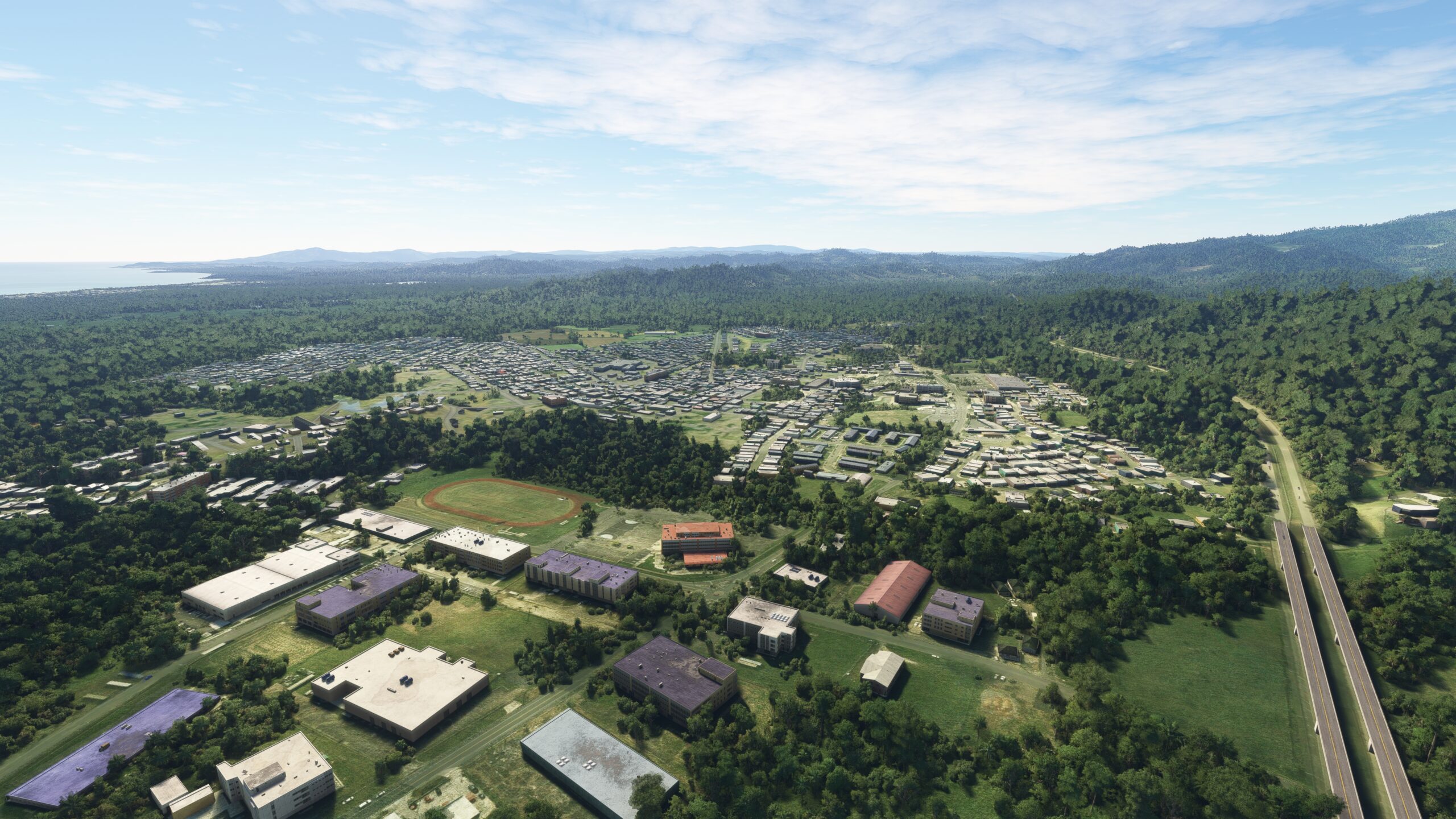
After lifting into the Caribbean sky from José Aponte Hernández Airport, turn to the southwest and gain a visual on Puerto Rico Highway 53. Follow the highway to the town of Naguabo, which is located just to the south of the highway.
Naguabo(POI1) to Punta Santiago(POI2)
Distance: 2.96NM Bearing: 210° 1 minutes
After passing over Naguabo, adjust course slightly to the south and pass over the White River (Río Blanco) and then fly over the Pterocarpus Forest (Bosque de Pterocarpus), home of stands of large Pterocarpus trees. Continue to Punta Santiago, located on the shore of Vieques Channel (Canal de Vieques), which separates the island of Puerto Rico from Vieques Island. Vieques is the second largest island in the commonwealth of Puerto Rico and is renowned for its coastal beauty.

Punta Santiago(POI2) to Yabucoa(POI3)
Distance: 10.22NM Bearing: 240° 5 minutes
At Punta Santiago, adjust course slightly to the north and follow the coastline, staying just inland. Pass over the small village of Buena Vista and then pass over the town of Yabucoa.

Yabucoa(POI3) to Arroyo(POI4)
Distance: 11.55NM Bearing: 261° 6 minutes
Adjust course slightly to the north and pass to the north of the prominent peak Cerro La Pandura. Continue on course, passing to the north of the coastal town of Maunabo and then pass over the Maunabo River (Río Maunabo). Pass by the small bay, Puerto Patillas, and a small inland airstrip, Aeropuerto de Patillas, then parallel Puerto Rico Highway 3 to the small town of Arroyo.

Arroyo(POI4) to Salinas(POI5)
Distance: 13.22NM Bearing: 284° 6 minutes
Turn onto a due west course and fly along the Puerto Rico Highway 3 corridor, staying just north of the southern coastline of the island. Fly past the Bahia de Jobos, an important intertidal estuary comprising extensive coral reefs, mangroves, and seagrass communities. Continue following Puerto Rico Highway 3 to the fishing village of Salinas.

Salinas(POI5) to Santa Isabel(PR27)
Distance: 5.48NM Bearing: 278° 3 minutes
Continue on course from Salinas and cross the northern extremity of Bahía de Rincón, then gain a visual on Santa Isabel Airport, which lies on the north side of Puerto Rico Highway 1 just to the east of the town of Santa Isabel. Land at Santa Isabel Airport to bring this leg of the journey to an end.

Leg 2
Santa Isabel to Eugenio Maria De Hostos
Leg Distance: 54.34 Approximate time at 125kts: 26 minutes.
Santa Isabel(PR27) to Potala Pastillo(POI6)
Distance: 6.28NM Bearing: 299° 3 minutes
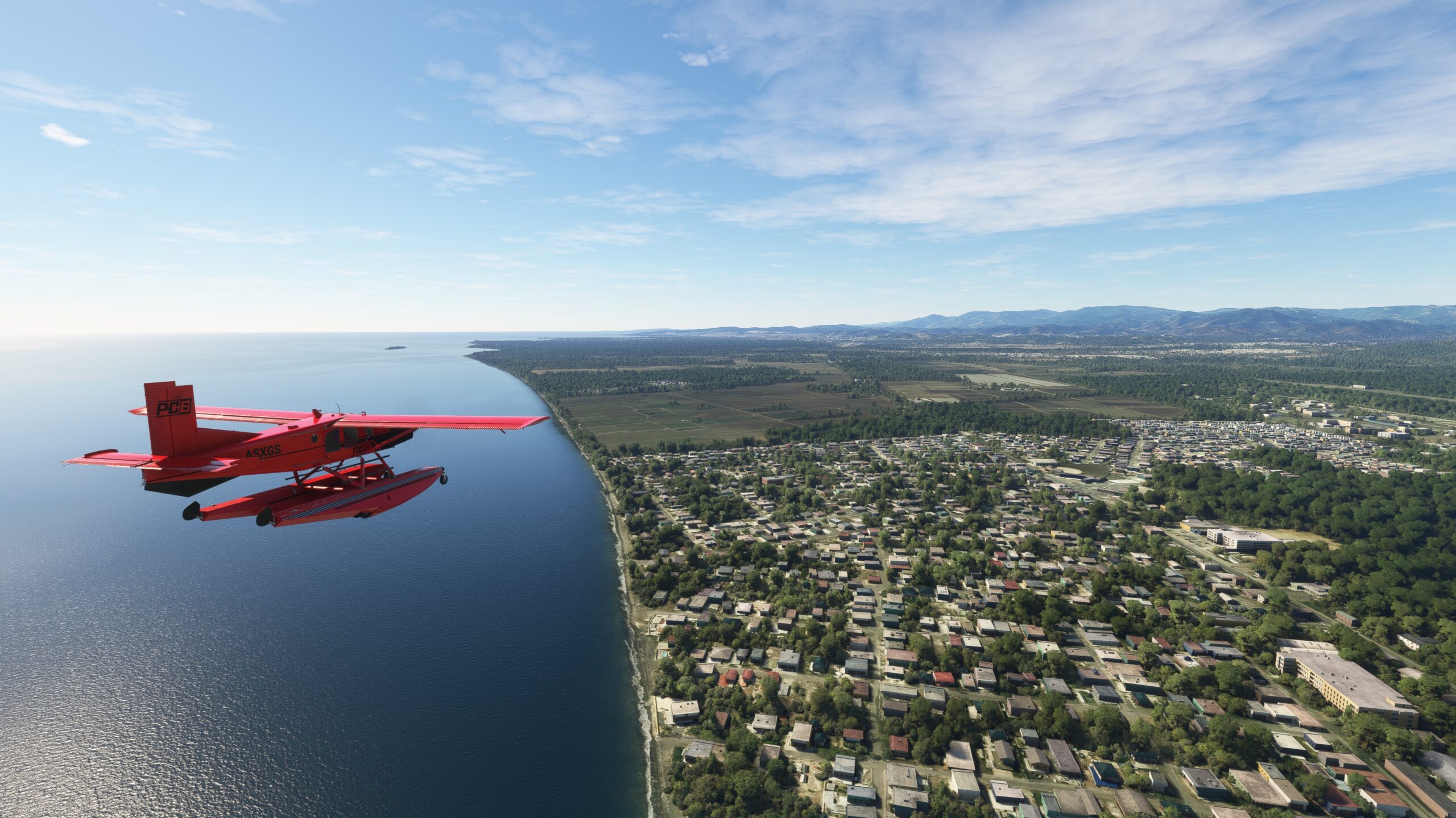
Lift off from Santa Isabel Airport and set a course to the west-northwest. Pass just to the north of the town of Santa Isabel and follow Puerto Rico Highway 1 to the coastal town of Potala Pastillo.
Potala Pastillo(POI6) to Ponce(PONCE)
Distance: 6.77NM Bearing: 288° 3 minutes
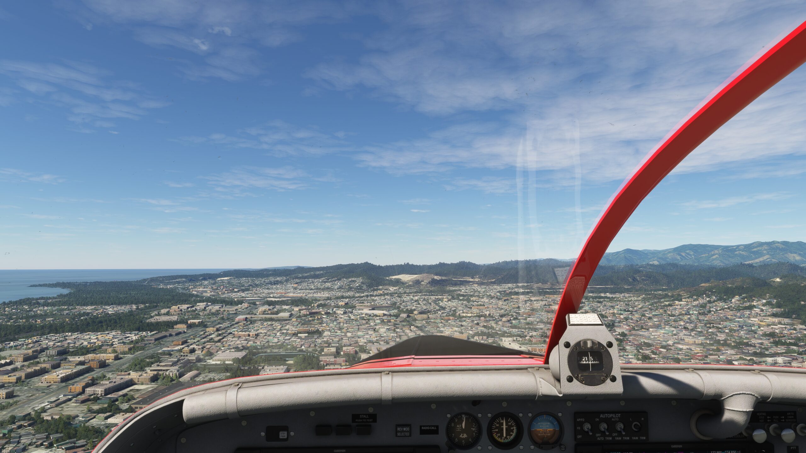
Adjust course slightly to the south over Potala Pastillo and follow Puerto Rico Highway 1 to the city of Ponce. Ponce is the second most populous city in Puerto Rico after the capital, San Juan, and is an important center of commerce, tourism, and culture. Ponce lies just to the south of Cerro de Punta, the highest mountain in Puerto Rico at 4,390 feet above sea level. The peak is part of the Cordillera Central, which forms the east-west spine of the island and defines and separates its northern and southern physical regions.
Ponce(PONCE) to Yauco(YAUCO)
Distance: 14.24NM Bearing: 291° 7 minutes
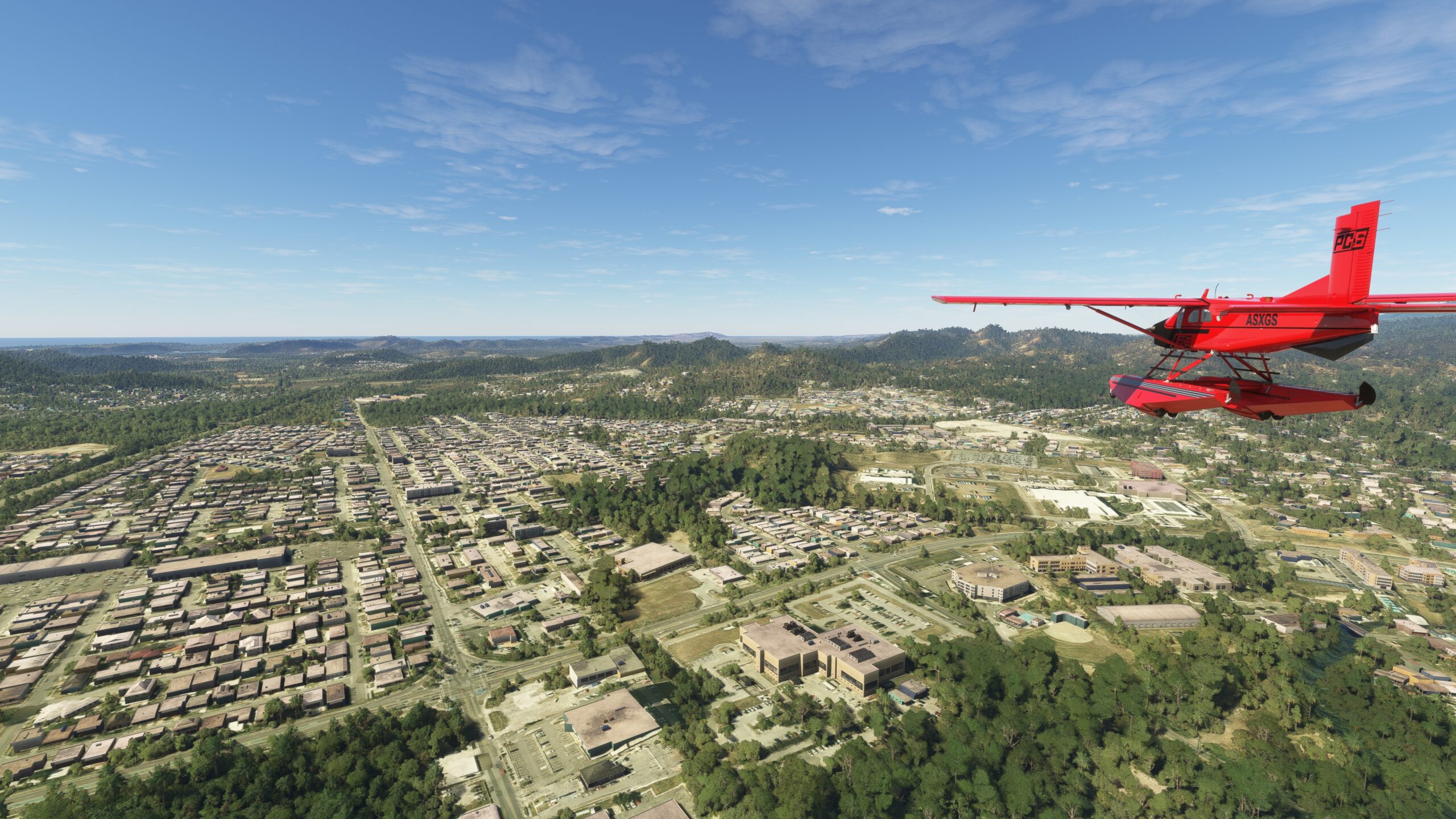
Continue on course, following the corridor of Puerto Rico Highway 2, which tracks the coastline in this part of southern Puerto Rico. Pass over the Tallaboa River (Río Tallaboa) just north of its terminus at Tallaboa Bay (Bahía Tallaboa). Pass over the town of Guayanilla and the Guayanilla River (Río Guayanilla), just north of its terminus at Guayanilla Bay (Bahía Guayanilla). Continue on course to the mountainous town of Yauco, renowned for its surrounding peaks, forests, and rivers.
Yauco(YAUCO) to Cabo Rojo(POI7)
Distance: 16.84NM Bearing: 294° 8 minutes
Maintain heading after passing over Yauco and pass just to the south of the Presada Loco reservoir. Follow the general course of Puerto Rico Highway 2, passing just to the south of the historic town of San Germán. Gain a visual on the western coastline of Puerto Rico and pass over the town of Cabo Rojo. The Cabo Rojo region is known for its stunning natural beauty, including white sand beaches, mangroves, and secluded bays.

Cabo Rojo(POI7) to Mayagüez(POI8)
Distance: 7.06NM Bearing: 15° 3 minutes
Turn onto a due north heading at Cabo Rojo and parallel the western coastline of the island to the town of Mayagüez. Mayagüez is an important educational center in Puerto Rico and is rich in colonial architecture. Mayagüez is located in the central portion of Puerto Rico’s west coast, an area renowned for its secluded beaches.
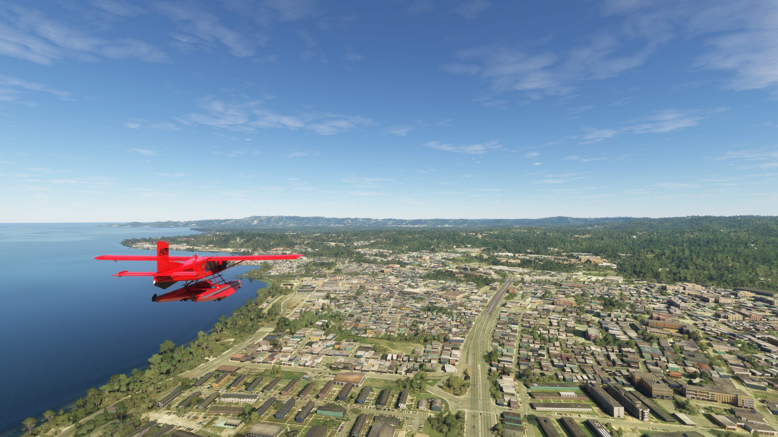
Mayagüez(POI8) to Eugenio Maria De Hostos(TJMZ)
Distance: 3.15NM Bearing: 13° 2 minutes
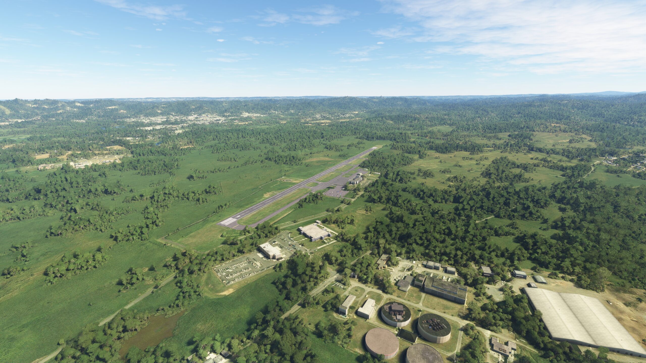
Continue on a northerly heading from Mayagüez and land at Eugenio María de Hostos Airport, located just inland of the coast on the east side of Puerto Rico Highway 2.
Leg 3
Eugenio Maria De Hostos to Fernando Luis Ribas Dominicci
Leg Distance: 74.36 Approximate time at 125kts: 36 minutes.
Eugenio Maria De Hostos(TJMZ) to Aguada(POI9)
Distance: 7.7NM Bearing: 353° 4 minutes
After lifting off from Eugenio María de Hostos Airport, set a west-northwest heading and gain a visual on Aguadilla Bay (Bahía de Aguadilla). The bay is anchored on its southwest end by Punta Higuero, the westernmost point of Puerto Rico. Just south of Punta Higuero lies the town of Rincón, renowned as one of the best surfing locations in the Caribbean. Pass to the east of both to reach the town of Aguada, which lies just inland of Aguadilla Bay.

Aguada(POI9) to Aguacate(POI10)
Distance: 8.79NM Bearing: 48° 4 minutes
Turn onto a northeast heading at Aguada and skirt the shoreline of Aguadilla Bay. Fly over the coastal city of Aguadilla, an important pharmaceutical and high-technology center in Puerto Rico. Continue on course to Aguacate, a northern section of the city of Aguadilla.

Aguacate(POI10) to Isabela(POI11)
Distance: 4.64NM Bearing: 99° 2 minutes
Turn onto an easterly heading, and parallel the island’s northwestern coast, staying just inland. Pass over the town of Isabela, known as the “Garden of the Northwest” due to the numerous types of wildflowers that grow in the town and its surroundings. The landscape of northwestern Puerto Rico is called the “Northern Karst” due to the area’s limestone bedrock that has been dissolved and eroded into rivers, caves, sinkholes, and steep-sided hills called mogotes.

Isabela(POI11) to San José(POI12)
Distance: 6.78NM Bearing: 115° 3 minutes
Follow the northern coastline to the east-southeast. Pass over the Guajataca River (Río Guajataca) where it meets the Atlantic Ocean. Pass the small town of Terranova and then fly over the coastal community of San José.

San José(POI12) to Arecibo(POI13)
Distance: 8.78NM Bearing: 106° 4 minutes
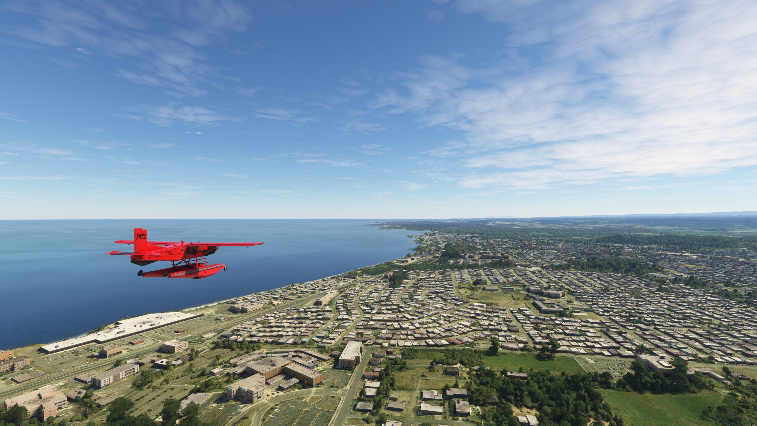
Follow the northern coastline to the city of Arecibo. The city, the largest by area in Puerto Rico, is home to the Arecibo Observatory and the Arecibo Telescope, once the world’s largest radio telescope. The telescope, no longer functioning, is a spherical reflector radio telescope built into a sinkhole 1,000 feet in diameter. Completed in 1963 by the United States Department of Defense, the telescope was initially developed to detect incoming ballistic missiles. It was subsequently used for a variety of research, notably the study of the upper atmosphere and deep space astronomy. The telescope was decommissioned in November of 2020 after more than a half century of operation. The telescope lies eight miles south of Arecibo in rolling, forested hills typical of Puerto Rico’s Northern Karst topography.
Arecibo(POI13) to Islote(POI14)
Distance: 9.02NM Bearing: 99° 4 minutes
Continue to the east, tracking the coastline, and pass over Caño Tiburones, one of the largest wetlands in Puerto Rico. Continue to Islote, an outlying suburb of the city of Arecibo.
Islote(POI14) to Tortuguero Lagoon(POI15)
Distance: 7.75NM Bearing: 112° 4 minutes
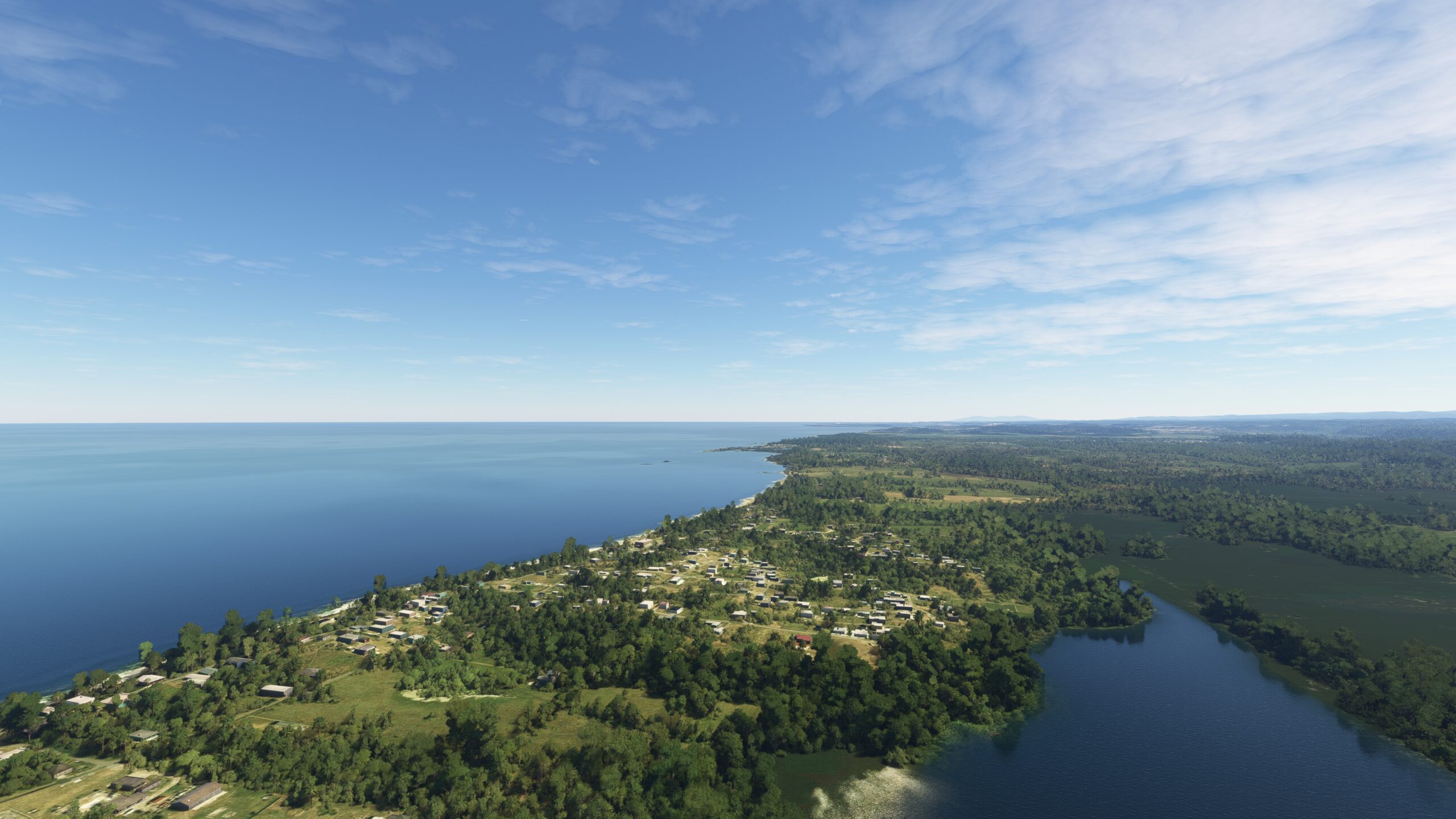
Continue eastward along the coast to Tortuguero Lagoon, Puerto Rico’s largest freshwater lagoon and home to abundant plant and wildlife.

Tortuguero Lagoon(POI15) to Dorado del Mar(POI16)
Distance: 10.71NM Bearing: 101° 5 minutes
Maintain heading, following the northern Puerto Rico coastline, to Dorado del Mar, considered one of the most beautiful beach areas on the island.
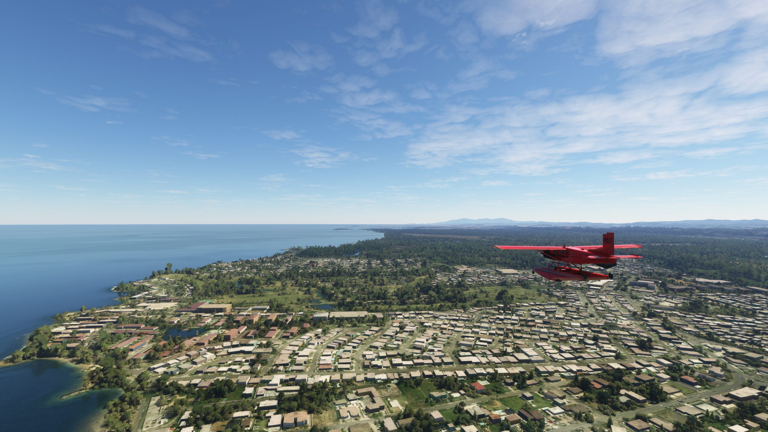
Dorado del Mar(POI16) to Punta Salinas(POI17)
Distance: 5.09NM Bearing: 102° 2 minutes
Due east of Dorado del Mar is Punta Salinas, a type of coastal form called a tombolo, where a point of land is connected to a mainland by a long, elegantly-curved stretch of beach.
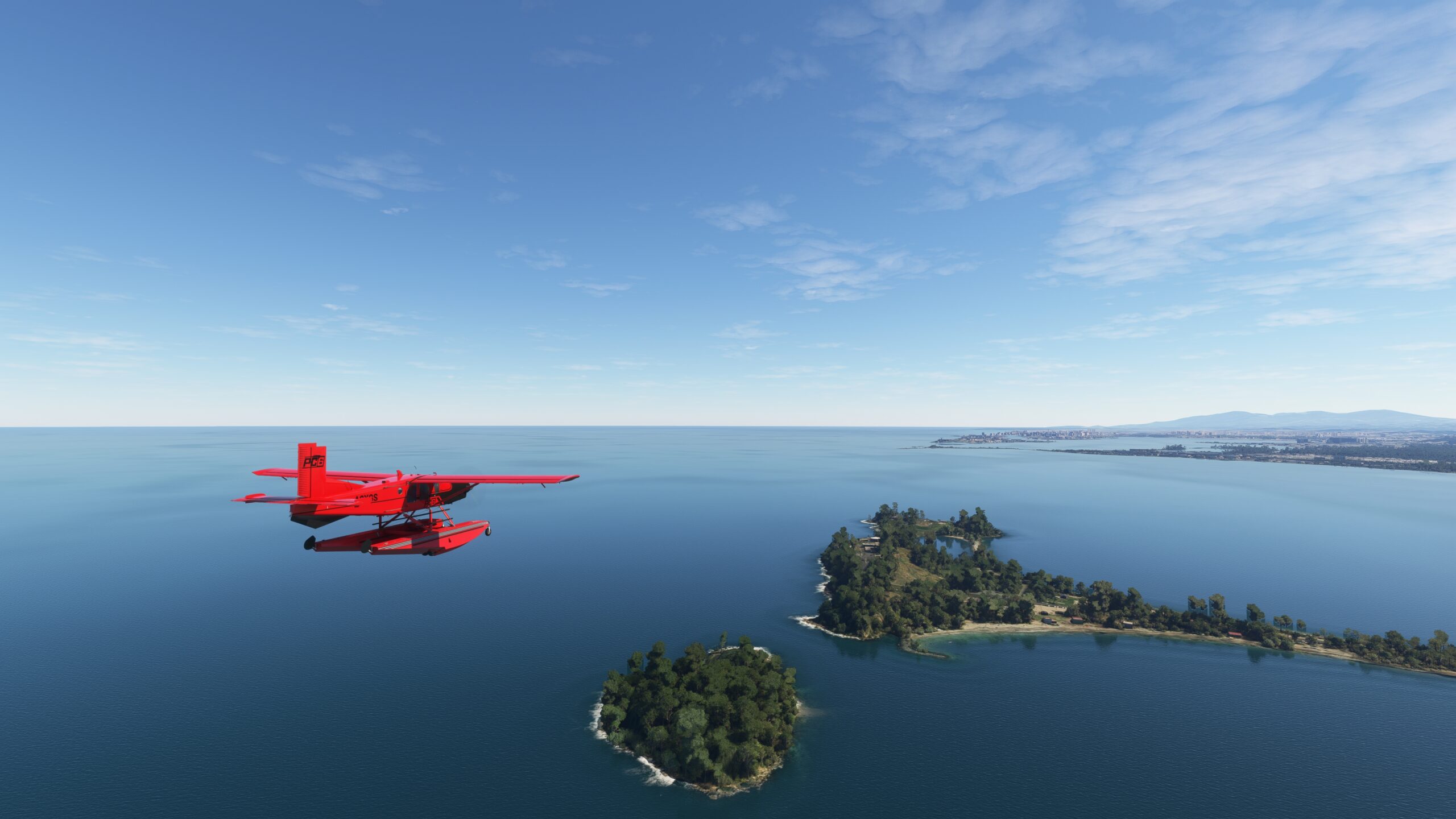
Punta Salinas(POI17) to Palo Seco(POI18)
Distance: 2.72NM Bearing: 105° 1 minutes
Continue to the east and pass over Ensenada de Boca Vieja, a large bay to the northwest of Puerto Rico’s capital, San Juan. The eastern end of the bay is defined by Goat Island (Isla de Cabras), which lies on the northern end of Palo Seco, a suburb of San Juan. Goat Island also marks the western end of San Juan Bay. Pass over the island and Fort Saint John of the Cross (Fortín San Juan de la Cruz), known locally as El Cañuelo. The structure is a massive sandstone fortification that dates to the early 1600s and is not open to the public and is best viewed from above.
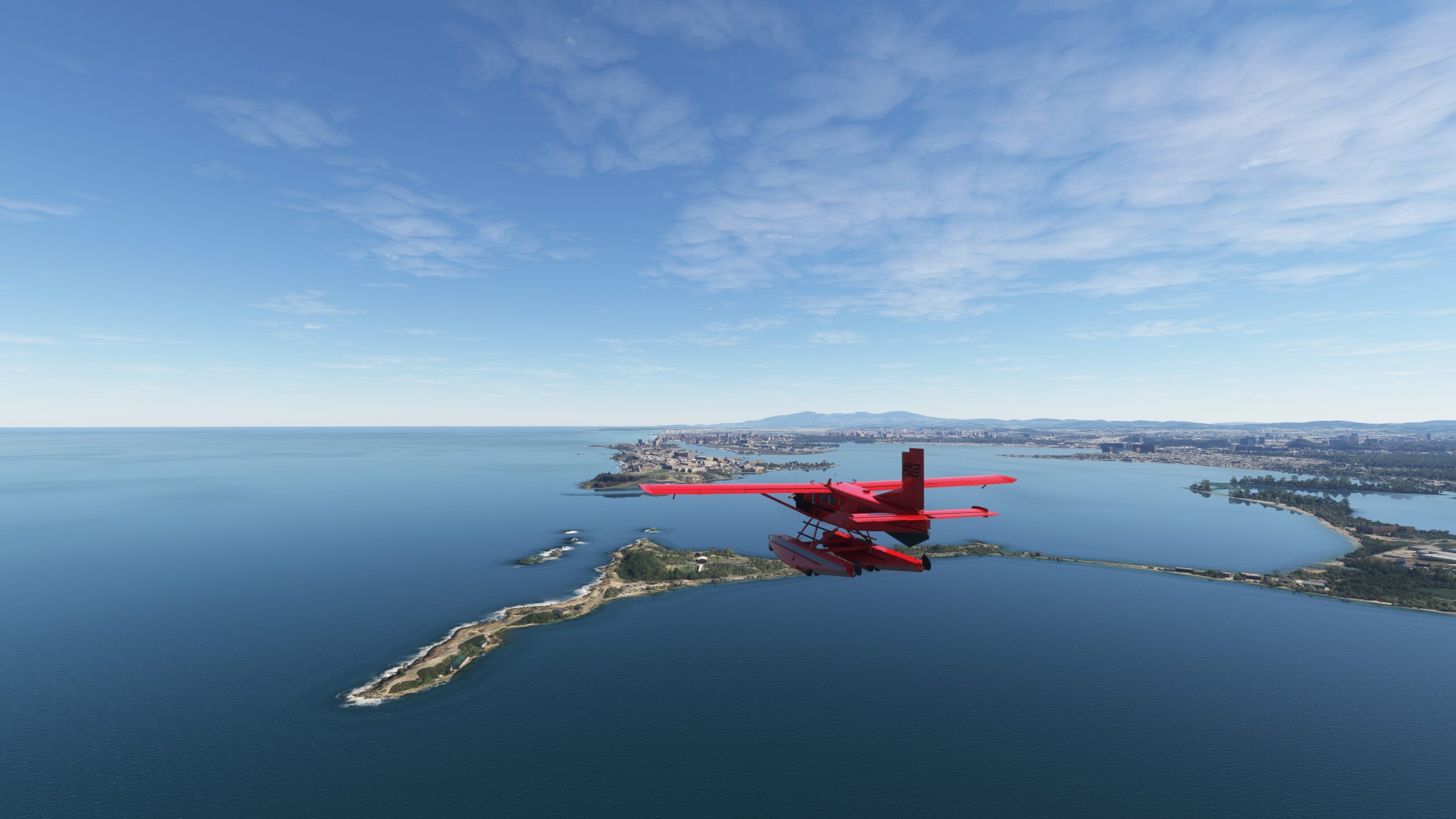
Palo Seco(POI18) to Fernando Luis Ribas Dominicci(TJIG)
Distance: 2.38NM Bearing: 126° 1 minutes
Turn to the southeast and fly across the opening of San Juan Bay (Bahía de San Juan). The bay is a partially enclosed natural harbor that is a component of a larger complex of channels and basins. From a historical standpoint, it is the most significant natural feature of Puerto Rico. In 1508, Spanish explorer Juan Ponce de León sailed into the bay and founded the first Spanish settlement on the island, Caparra. Caparra was later abandoned for a newer settlement, Ciudad de San Juan Bautista de Puerto Rico, “Rich Port City of San Juan Bautista.” The name Puerto Rico was eventually used for the entire island, and then the entire commonwealth. The settlement, later named San Juan, grew into Puerto Rico’s most populous city and its capital. The bay is the island’s busiest seaport. Gain a visual on the Isla Grande Peninsula, which protrudes into the eastern side of San Juan Bay. Land at Fernando Luis Ribas Dominicci Airport, also known as Isla Grande Airport, to bring this bush trip to a close.

