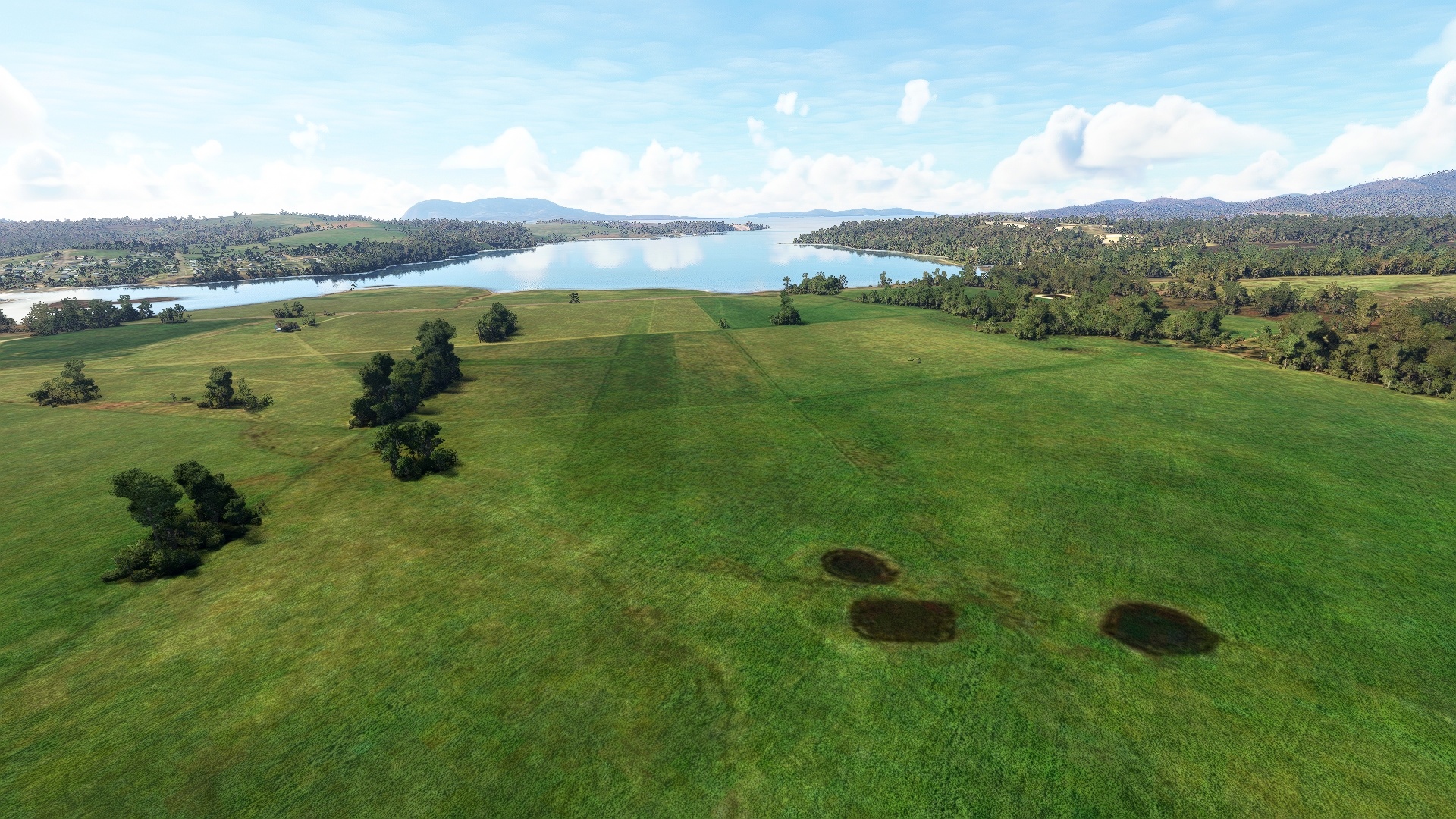
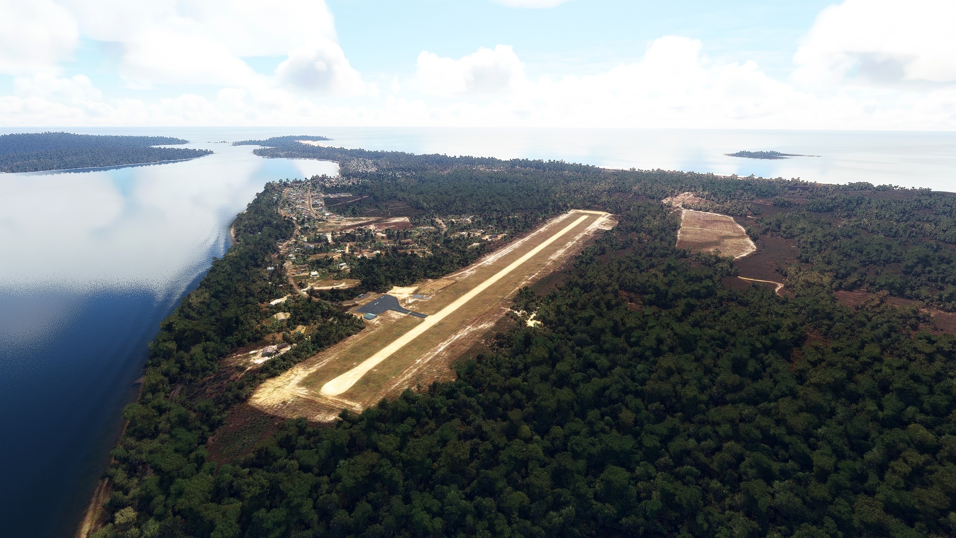
Tasmania is a land of intrigue and enchanting beauty. The smallest, least populous, and southernmost of Australia’s states, Tasmania offers a wide range of locations to explore. These include white sand beaches, sea cliffs, lush forests, winding rivers, imposing mountains, and a range of architecture.
This journey brings the very best of Tasmania to life for the aviator. It begins at the northern end of the island, exploring the rugged coastline, verdant stands of trees, and islands found there. The route traverses a series of natural corridors in a counterclockwise circumnavigation route around the island.
It visits the southernmost reaches of Tasmania, the capital, Hobart, and then explores such renowned locations as the Bay of Fires, the Gardens, and Coles Bay in the northeast before drawing to a close.
Assistance on the trip will be available in the form of a ‘Back on Track’ button on the VFR Map — however, be advised that using this will disable achievements tied to the activity.
Total Legs: 7 Total Distance: 615 Total Time(125kts): 4 hours 55 minutes
Leg 1
Georgetown (Tas) Airport to Smithton
Leg Distance: 110.32 Approximate time at 125kts: 53 minutes.
Georgetown (Tas) Airport(YGTO) to Tamar River(POI1)
Distance: 2.25NM Bearing: 206° 1 minutes
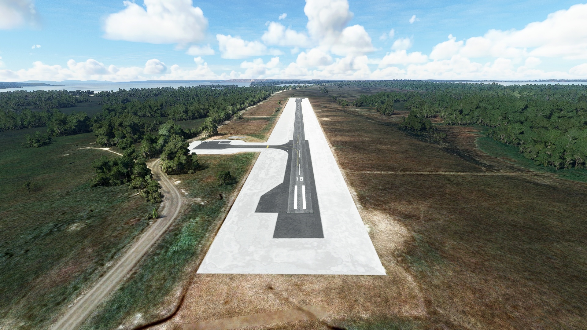
After launching from George Town Airport, fly over the northern edge of George Town, to the Tamar River, a 43-mile-long estuary.
Tamar River(POI1) to Bell Bay(POI2)
Distance: 3.13NM Bearing: 142° 2 minutes
To the south-southeast lies Bell Bay, on the eastern shore the Tamar River, a port and industrial center responsible for roughly sixty percent of Tasmanian’s trade.
Bell Bay(POI2) to Rubicon River(POI3)
Distance: 11.99NM Bearing: 245° 6 minutes
West-southwest of Bell Bay, after passing over rolling forest, is the Rubicon River, an estuary off of the Bass Strait that is home to the town of Port Sorell and is an important habitat for the pied oystercatcher species of bird.
Rubicon River(POI3) to Devonport Oval(POI4)
Distance: 9.86NM Bearing: 264° 5 minutes
Pass over a patchwork of agriculture fields to come to Devonport Oval, a sports stadium that is home to a number of teams, including the Devonport Cricket Club and the Devonport Football Club.
Devonport Oval(POI4) to Devils Gate Dam(POI5)
Distance: 11.8NM Bearing: 187° 6 minutes
Fly over the city of Devonport and then swaths of fields and low hills to Devils Gate Dam, a double-arched concrete dam that holds back Lake Barrington along the Forth River drainage.
Devils Gate Dam(POI5) to Mount Duncan(POI6)
Distance: 13.71NM Bearing: 298° 7 minutes
Traverse lushly forested hills and agriculture fields to Mount Duncan, which rises to 2,234 feet above sea level and is one of the most notable peaks of the Dial Range.
Mount Duncan(POI6) to Sulphur Creek Point(POI7)
Distance: 6.33NM Bearing: 342° 3 minutes
Just west of due north, on the Bass Strait shoreline, lies Sulphur Creek Point, a notable coastal prominence.
Sulphur Creek Point(POI7) to Wynyard(POI8)
Distance: 15.04NM Bearing: 281° 7 minutes
Farther northwest along the beautiful Bass Strait coastline lies the small coastal town of Wynyard.
Wynyard(POI8) to Rocky Cape(POI9)
Distance: 12.78NM Bearing: 295° 6 minutes
Rocky Cape, one of the most spectacular coastal features in Tasmania, lies to the northwest of Wynyard.
Rocky Cape(POI9) to Sawyer Bay(POI10)
Distance: 5.49NM Bearing: 270° 3 minutes
Pass over open water to the heart of Sawyer Bay, along the shores of which are a number of beaches.
Sawyer Bay(POI10) to Stanley(POI11)
Distance: 6.11NM Bearing: 303° 3 minutes
On the northwestern aspect of Sawyer Bay lies Stanley, a small coastal town that lies at the base of a small, sheer-walled mesa called The Nut, a remnant of a volcanic plug.
Stanley(POI11) to West Bay(POI12)
Distance: 8.29NM Bearing: 248° 4 minutes
To the west of Stanley, after passing over a small isthmus that ends at The Nut and the town of Stanley, lies the crescent-shaped West Bay.
West Bay(POI12) to Smithton(YSMI)
Distance: 3.54NM Bearing: 191° 2 minutes
Fly inland over marshland to land at Smithton Airport (YSMI).

Leg 2
Smithton to Strahan
Leg Distance: 87.17 Approximate time at 125kts: 42 minutes.
Smithton(YSMI) to Lake Mikany(POI13)
Distance: 5.21NM Bearing: 110° 3 minutes
After returning to the skies, fly over the southern edge of the town of Smithton and its pastoral outskirts to Lake Mikany.
Lake Mikany(POI13) to Arthur River(POI14)
Distance: 13.03NM Bearing: 142° 6 minutes
Flying south-southeasterly from Lake Mikany, over dense forest and rolling hills, brings the reward of the Arthur River.
Arthur River(POI14) to Savage River National Park(POI15)
Distance: 14.6NM Bearing: 153° 7 minutes
Beautiful sights continue to abound along this route with stands of rainforest of Savage River National Park, which is viewable only from the air as it is inaccessible from the ground.
Savage River National Park(POI15) to Savage River Mine(POI16)
Distance: 12.64NM Bearing: 202° 6 minutes
From the heart of Savage River National Park, pass over the Savage River Mine, which produces iron ore.
Savage River Mine(POI16) to Lake Pieman(POI17)
Distance: 15.94NM Bearing: 177° 8 minutes
Heading toward the western coastline of Tasmania from the Savage River Mine, pass over Lake Pieman.
Lake Pieman(POI17) to Avebury Mine(POI18)
Distance: 10.68NM Bearing: 140° 5 minutes
From Lake Pieman, traverse the wilds of western Tasmania to Avebury Mine, which produces nickel ore.
Avebury Mine(POI18) to Ocean Beach(POI19)
Distance: 10.32NM Bearing: 163° 5 minutes
Nearly due south from Avebury Mine lies Ocean Beach, on the shore of western Tasmania.
Ocean Beach(POI19) to Strahan(YSRN)
Distance: 4.75NM Bearing: 147° 2 minutes
Fly just inland of the coast and land at Strahan Airport (YSRN).

Leg 3
Strahan to Bathurst Harbour Airport
Leg Distance: 102.58 Approximate time at 125kts: 49 minutes.
Strahan(YSRN) to Macquarie Harbour(POI20)
Distance: 10.29NM Bearing: 145° 5 minutes
Back in the air after launching from Strahan Airport, fly over Macquarie Harbour, which lies just inland of the western coastline of Tasmania.
Macquarie Harbour(POI20) to Mount Discovery(POI21)
Distance: 17.91NM Bearing: 131° 9 minutes
Change course slightly to the east and fly over the summit of Mount Discovery, which stands 2,133 feet above sea level.
Mount Discovery(POI21) to Sprent River(POI22)
Distance: 5.17NM Bearing: 153° 2 minutes
Head south from Mount Discovery, and just to the east of a ridge of peaks, pass over Sprent River.
Sprent River(POI22) to Lake Gordon(POI23)
Distance: 24.47NM Bearing: 81° 12 minutes
Turn into a heading of just south of due east and pass over the northern extremity of the expansive, man-made Lake Gordon, the largest lake in Australia.
Lake Gordon(POI23) to Lake Pedder(POI24)
Distance: 15.04NM Bearing: 156° 7 minutes
Turn to the south, visiting the southern end of Lake Gordon, and then fly over a ridge of peaks to visit Lake Pedder, another man-made reservoir.
Lake Pedder(POI24) to Barrier Island(POI25)
Distance: 3NM Bearing: 169° 1 minutes
Fly over Barrier Island, a long, narrow island in Lake Pedder.
Barrier Island(POI25) to Derwent Valley(POI26)
Distance: 6.79NM Bearing: 183° 3 minutes
From Barrier Island, fly back over land into the Derwent Valley.
Derwent Valley(POI26) to Bathurst Harbour(POI27)
Distance: 14.01NM Bearing: 170° 7 minutes
The next point of interest on this journey is Bathurst Harbour, a broad, shallow, nearly landlocked bay that provides maritime sanctuary to ships from the Roaring Forties.
Bathurst Harbour(POI27) to Bathurst Harbour Airport(YBHB)
Distance: 5.9NM Bearing: 162° 3 minutes
Fly to the south to land at Melaleuca Airstrip (YBHB).

Leg 4
Bathurst Harbour Airport to Bruny Island Airport
Leg Distance: 76.69 Approximate time at 125kts: 37 minutes.
Bathurst Harbour Airport(YBHB) to Cox Bight(POI28)
Distance: 6.63NM Bearing: 133° 3 minutes
After returning to the Tasmanian skies, set a course to the southeast and pass just to the west of a line of dramatic peaks of the New Harbour Range to reach Cox Bight.
Cox Bight(POI28) to Louisa Island(POI29)
Distance: 5.15NM Bearing: 88° 2 minutes
Continuing on the journey along the rugged coast, pass over the lightly forested Louisa Island.
Louisa Island(POI29) to Prion Bay(POI30)
Distance: 9.01NM Bearing: 80° 4 minutes
Continue along the dramatic southern coastline to Prion Bay.
Prion Bay(POI30) to South Cape(POI31)
Distance: 8.05NM Bearing: 114° 4 minutes
Turn onto a southeast course and track along the rocky coastline that is defined by small points and coves to South Cape.
South Cape(POI31) to South Cape Bay(POI32)
Distance: 3.21NM Bearing: 68° 2 minutes
Head into South Cape Bay from South Cape, the southernmost bay in Tasmania, which is open to the often tumultuous Southern Ocean.
South Cape Bay(POI32) to Whale Head(POI33)
Distance: 4.06NM Bearing: 84° 2 minutes
From South Cape Bay, cross over a small finger of land, then follow the rugged coastline to Whale Head, a rocky promontory.
Whale Head(POI33) to Fishers Point(POI34)
Distance: 4.61NM Bearing: 9° 2 minutes
Fly to the northeast, over low, rolling forest, to Fishers Point.
Fishers Point(POI34) to The Pigsties(POI35)
Distance: 2.68NM Bearing: 24° 1 minutes
Cross over open water from Fishers Point to the bay called The Pigsties.
The Pigsties(POI35) to Ida Bay(POI36)
Distance: 5.85NM Bearing: 333° 3 minutes
From The Pigsties, turn north-northwest, and pass over a large lagoon and low-lying forest to Ida Bay.
Ida Bay(POI36) to Strathblane(POI37)
Distance: 6.37NM Bearing: 1° 3 minutes
From Ida Bay, head north-northeast, passing over rolling forested hills to the tiny, picturesque coastal village of Strathblane.
Strathblane(POI37) to Hope Island(POI38)
Distance: 3.17NM Bearing: 74° 2 minutes
Turn due east and pass over the waters of Port Esperance to arrive at Hope Island, which was originally named “Lahaye,” to commemorate a renowned French gardener.
Hope Island(POI38) to Roaring Bay Beach(POI39)
Distance: 3.27NM Bearing: 17° 2 minutes
Skirt the coast just inland of the shoreline to reach Roaring Bay Beach.
Roaring Bay Beach(POI39) to Roaring Bay(POI40)
Distance: 1.64NM Bearing: 66° 1 minutes
Fly out over Roaring Bay from Roaring Bay Beach.
Roaring Bay(POI40) to Ninepin Point(POI41)
Distance: 2.04NM Bearing: 68° 1 minutes
Continue over Roaring Bay to Ninepin Point.
Ninepin Point(POI41) to D’Entrecasteaux Channel(POI42)
Distance: 3.2NM Bearing: 83° 2 minutes
From Ninepin Point, head east-southeast into D'Entrecasteaux Channel, a body of water that is the mouth of the estuaries of the Derwent and Huon Rivers, and was surveyed by French explorer Antoine Bruni d’Entrecasteaux.
D’Entrecasteaux Channel(POI42) to The Neck Lookout(POI43)
Distance: 4.53NM Bearing: 64° 2 minutes
Pass over a small forested peninsula and then visit The Neck Lookout, located on a long, low isthmus.
The Neck Lookout(POI43) to Isthmus Bay(POI44)
Distance: 1.28NM Bearing: 354° 1 minutes
Turn to the north and fly over Isthmus Bay, located just to the west of the long, low isthmus.
Isthmus Bay(POI44) to Bruny Island Airport(YBYI)
Distance: 1.94NM Bearing: 33° 1 minutes
Head to the northeast and land at Bruny Island Airstrip (YBYI).

Leg 5
Bruny Island Airport to Triabunna Airport
Leg Distance: 78.58 Approximate time at 125kts: 38 minutes.
Bruny Island Airport(YBYI) to Snake Island(POI45)
Distance: 5.29NM Bearing: 298° 3 minutes
Lift into the sky from Bruny Island Airstrip and set a course to the northwest, flying over Great Bay to the lightly-forested Snake Island.
Snake Island(POI45) to Oyster Cove(POI46)
Distance: 4.43NM Bearing: 349° 2 minutes
Fly to the north over open water to the heart of Oyster Cove.
Oyster Cove(POI46) to Broadcast Australia Tower(POI47)
Distance: 12.48NM Bearing: 331° 6 minutes
From Oyster Cove, head north-northwest, passing over the northern reaches of North West Bay, then fly to the west of the city of Kingston to reach Broadcast Australia Tower.
Broadcast Australia Tower(POI47) to Hobart(POI48)
Distance: 4.04NM Bearing: 62° 2 minutes
Turn onto an east-northeast heading and fly past downtown Hobart, the capital city of Tasmania.
Hobart(POI48) to Montagu Bay(POI49)
Distance: 0.87NM Bearing: 27° 0 minutes
From downtown Hobart, head northeast over Montagu Bay.
Montagu Bay(POI49) to Tasman Bridge(POI50)
Distance: 0.51NM Bearing: 18° 0 minutes
Continue on course to the Tasman Bridge, which spans the Derwent River with a span of 4,580 feet.
Tasman Bridge(POI50) to Blundstone Arena(POI51)
Distance: 1.47NM Bearing: 105° 1 minutes
From the Tasman Bridge, head southeast, passing over Kangaroo Bay, then fly past Blundstone Arena, an Australian rules football arena that lies just inland of the Derwent River.
Blundstone Arena(POI51) to Mount Rumney(POI52)
Distance: 3.49NM Bearing: 57° 2 minutes
Fly to the northeast, over suburban patchworks and then low, forested hills to the 800-foot-high Mount Rumney.
Mount Rumney(POI52) to Five Mile Beach(POI53)
Distance: 5.21NM Bearing: 51° 3 minutes
Continue heading northeast, passing over suburban architecture and open fields to reach Five Mile Beach.
Five Mile Beach(POI53) to Pine Creek Beach(POI54)
Distance: 15.36NM Bearing: 58° 7 minutes
Fly over low peaks, tiny villages, and open fields to Pine Creek Beach, which lies along Marion Bay.
Pine Creek Beach(POI54) to Cape Peron(POI55)
Distance: 5.41NM Bearing: 68° 3 minutes
Pass over Oyster Bay to arrive at Cape Peron, the southernmost point of Maria Island.
Cape Peron(POI55) to Oyster Bay(POI56)
Distance: 4.08NM Bearing: 10° 2 minutes
Fly just to the west of a spine of low peaks to reach Oyster Bay.
Oyster Bay(POI56) to Riedle Bay(POI57)
Distance: 1.51NM Bearing: 40° 1 minutes
From Oyster Bay, cross over a low isthmus to the northeast to reach Riedle Bay.
Riedle Bay(POI57) to Maria Island(POI58)
Distance: 2.31NM Bearing: 346° 1 minutes
Head due north, staying to the west of a ridge of low peaks, to the heart of Maria Island.
Maria Island(POI58) to Cape Boullanger(POI59)
Distance: 3.43NM Bearing: 336° 2 minutes
Turn to the north-northwest to visit Cape Boullanger, the northern tip of Maria Island.
Cape Boullanger(POI59) to Ile Du Nord(POI60)
Distance: 0.58NM Bearing: 333° 0 minutes
Just off the coast from Cape Boullanger lies Ile Du Nord, a small granite island known as a breeding ground for a number of seabird species including the short-tailed shearwater and little penguin, the smallest of the penguins.
Ile Du Nord(POI60) to Triabunna Airport(YTUA)
Distance: 8.11NM Bearing: 276° 4 minutes
Turn onto a west-northwest course, pass over open water, then fly just to the south of the town of Triabunna to land at Triabunna Airport (YTUA).

Leg 6
Triabunna Airport to St Helens
Leg Distance: 88.23 Approximate time at 125kts: 42 minutes.
Triabunna Airport(YTUA) to Cape Bougainville(POI61)
Distance: 4.57NM Bearing: 75° 2 minutes
Back in the air after lifting off from Triabunna Airport, head to the east to reach Cape Bougainville.
Cape Bougainville(POI61) to Grindstone Bay(POI62)
Distance: 4.64NM Bearing: 342° 2 minutes
Skirt the coastline on a northerly heading to arrive at Grindstone Bay.
Grindstone Bay(POI62) to Little Swanport(POI63)
Distance: 6.16NM Bearing: 332° 3 minutes
Pass over low, rolling terrain to the north-northwest of Grindstone Bay to reach Little Swanport, a river that empties into Hardings Bay.
Little Swanport(POI63) to Hardings Bay(POI64)
Distance: 2.13NM Bearing: 29° 1 minutes
Turn to the northeast and skirt the southeastern margin of Little Swanport to arrive at Hardings Bay.
Hardings Bay(POI64) to Kelvedon Beach(POI65)
Distance: 6.66NM Bearing: 1° 3 minutes
Fly over the water just off the coastline to reach Kelvedon Beach.
Kelvedon Beach(POI65) to Oyster Bay(POI66)
Distance: 5.35NM Bearing: 55° 3 minutes
From Kelvedon Beach, turn to the northeast and fly over the heart of Oyster Bay.
Oyster Bay(POI66) to Coles Bay(POI67)
Distance: 6.46NM Bearing: 48° 3 minutes
Continue flying on a northeast course to reach land again at Coles Bay.
Coles Bay(POI67) to Friendly Beaches(POI68)
Distance: 8.47NM Bearing: 345° 4 minutes
Turn due north, passing over rolling terrain, then skirt the coast just offshore to fly over Friendly Beaches.
Friendly Beaches(POI68) to Courland Bay(POI69)
Distance: 2.73NM Bearing: 1° 1 minutes
From Friendly Beaches, fly just offshore to reach Courland Bay.
Courland Bay(POI69) to Governor Island(POI70)
Distance: 4.04NM Bearing: 349° 2 minutes
Head north, passing over a small promontory of land, and then skirt a small beach to arrive at Governor Island.
Governor Island(POI70) to Cod Rock(POI71)
Distance: 1.36NM Bearing: 297° 1 minutes
From Governor Island, head to the northwest and fly past the tiny Cod Rock, located in the heart of some of the most spectacular coastline in all of Australia.
Cod Rock(POI71) to Maclean Bay(POI72)
Distance: 3.25NM Bearing: 343° 2 minutes
From Cod Rock, head north over open water into the heart of Maclean Bay.
Maclean Bay(POI72) to Picaninny Point(POI73)
Distance: 6.7NM Bearing: 348° 3 minutes
Continue flying to the north, passing over mostly open water, to arrive at Picaninny Point.
Picaninny Point(POI73) to South Sister Lookout(POI74)
Distance: 11.03NM Bearing: 314° 5 minutes
Fly inland toward the northwest, over marshland and then lush forest, to South Sister Lookout, a small mountain that stands 2,729 feet above sea level.
South Sister Lookout(POI74) to Steels Beach(POI75)
Distance: 5.18NM Bearing: 40° 2 minutes
From South Sister Lookout, head to the northeast and reach the coast again at Steels Beach.
Steels Beach(POI75) to Scamander River(POI76)
Distance: 1.52NM Bearing: 334° 1 minutes
Skirt the shoreline to the north to the Scamander River.
Scamander River(POI76) to Shelly Point(POI77)
Distance: 1.64NM Bearing: 14° 1 minutes
Continue along the coastline from the Scamander River to Shelly Point.
Shelly Point(POI77) to Paddys Island(POI78)
Distance: 2.55NM Bearing: 11° 1 minutes
Maintain a north-northeast heading, flying out over open water off the shoreline to Paddys Island, a tiny granite island that is part of the St Helens Important Bird Area, a notable seabird habitat.
Paddys Island(POI78) to St Helens(YSTH)
Distance: 3.79NM Bearing: 330° 2 minutes
Turn to the north-northwest, crossing back over the coastline, and then come in for a landing at St Helens Airport (YSTH).

Leg 7
St Helens to Launceston
Leg Distance: 71.46 Approximate time at 125kts: 34 minutes.
St Helens(YSTH) to George Bay(POI79)
Distance: 2.07NM Bearing: 16° 1 minutes
Lift into the sky and set a course to the north-northeast, skirting the shoreline to George Bay.
George Bay(POI79) to St Helens Point(POI80)
Distance: 3.01NM Bearing: 36° 1 minutes
From George Bay, fly along a long, low finger of land to its end at St Helens Point.
St Helens Point(POI80) to Binalong Bay(POI81)
Distance: 2.59NM Bearing: 292° 1 minutes
Turn northwest, passing over water and then forested land, to arrive at the coastal town of Binalong Bay.
Binalong Bay(POI81) to The Gardens(POI82)
Distance: 5.4NM Bearing: 331° 3 minutes
From Binalong Bay, fly just offshore to The Gardens, a beach that is notable due to its “gardens” of rocks that have been rounded from crashing surf.
The Gardens(POI82) to Bay of Fires(POI83)
Distance: 1.98NM Bearing: 326° 1 minutes
Continue up the coast to the Bay of Fires, one of the most famous beaches in Australia.
Bay of Fires(POI83) to Mount Michael(POI84)
Distance: 12.54NM Bearing: 241° 6 minutes
Turn inland, flying west-southwest, and visit Mount Michael, located in a sea of dense, sparsely-inhabited forest, that is 2,408 feet above sea level.
Mount Michael(POI84) to Cascade Dam(POI85)
Distance: 8.05NM Bearing: 259° 4 minutes
From Mount Michael, fly to the west, passing over lush forest to Cascade Dam, which lies along the Cascade River near the town of Derby.
Cascade Dam(POI85) to Ringarooma(POI86)
Distance: 5.78NM Bearing: 207° 3 minutes
From Cascade Dam, turn southwest, flying over forested highlands and then a patchwork of fields to reach the small town of Ringarooma.
Ringarooma(POI86) to Mount Barrow(POI87)
Distance: 16.92NM Bearing: 224° 8 minutes
Continue flying southwest, over a sea of rolling forest to Mount Barrow, a prominent peak known for its diverse natural habitats that stands 4,636 feet above sea level.
Mount Barrow(POI87) to Launceston(YMLT)
Distance: 13.12NM Bearing: 209° 6 minutes
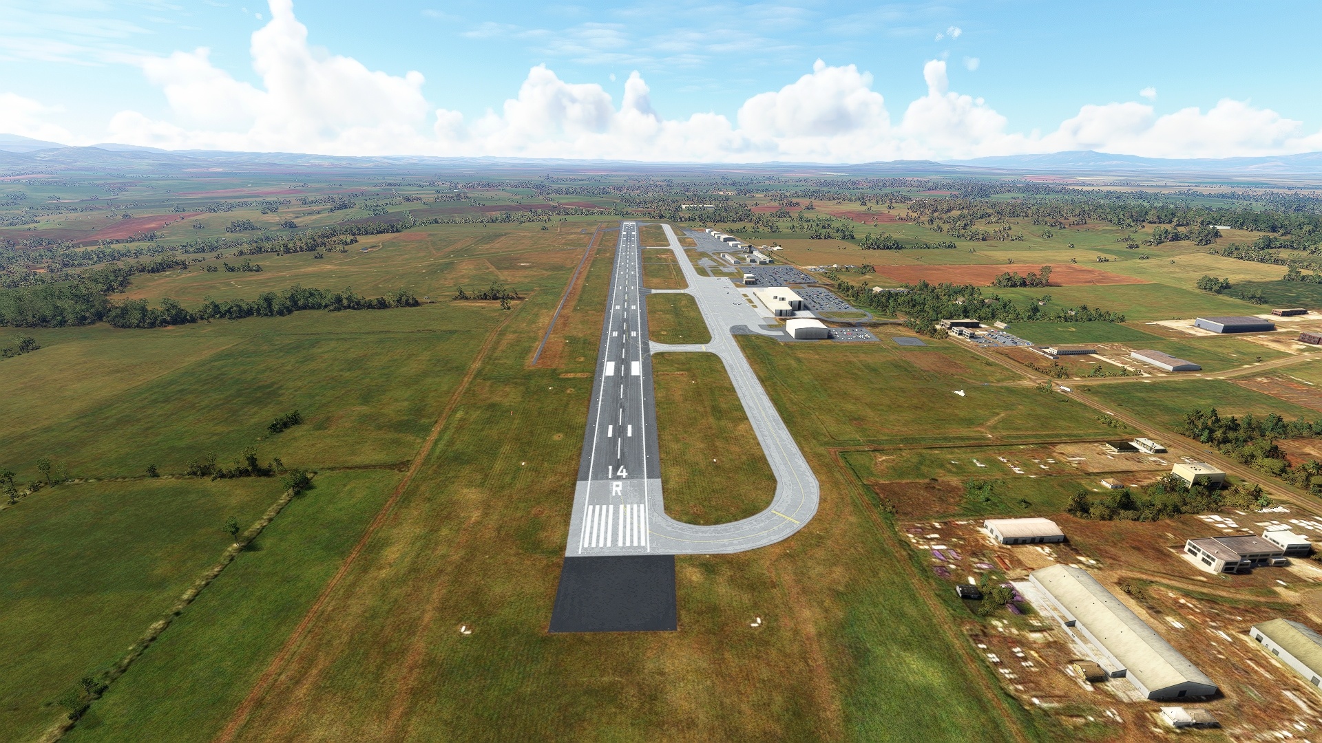
The Tasmanian Odyssey comes to a close by flying southwest from Mount Barrow and landing at Launceston Airport.

