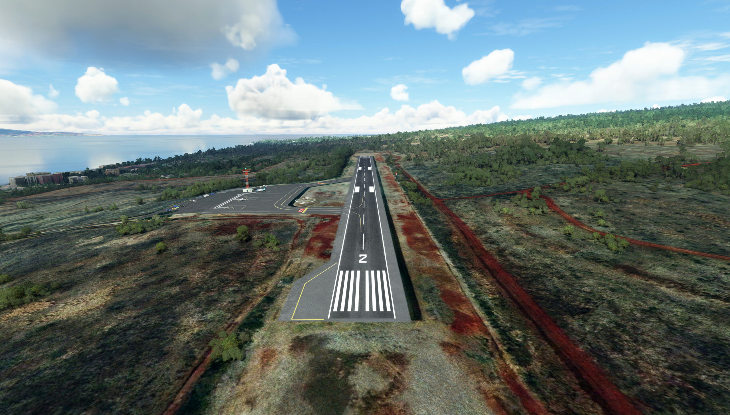
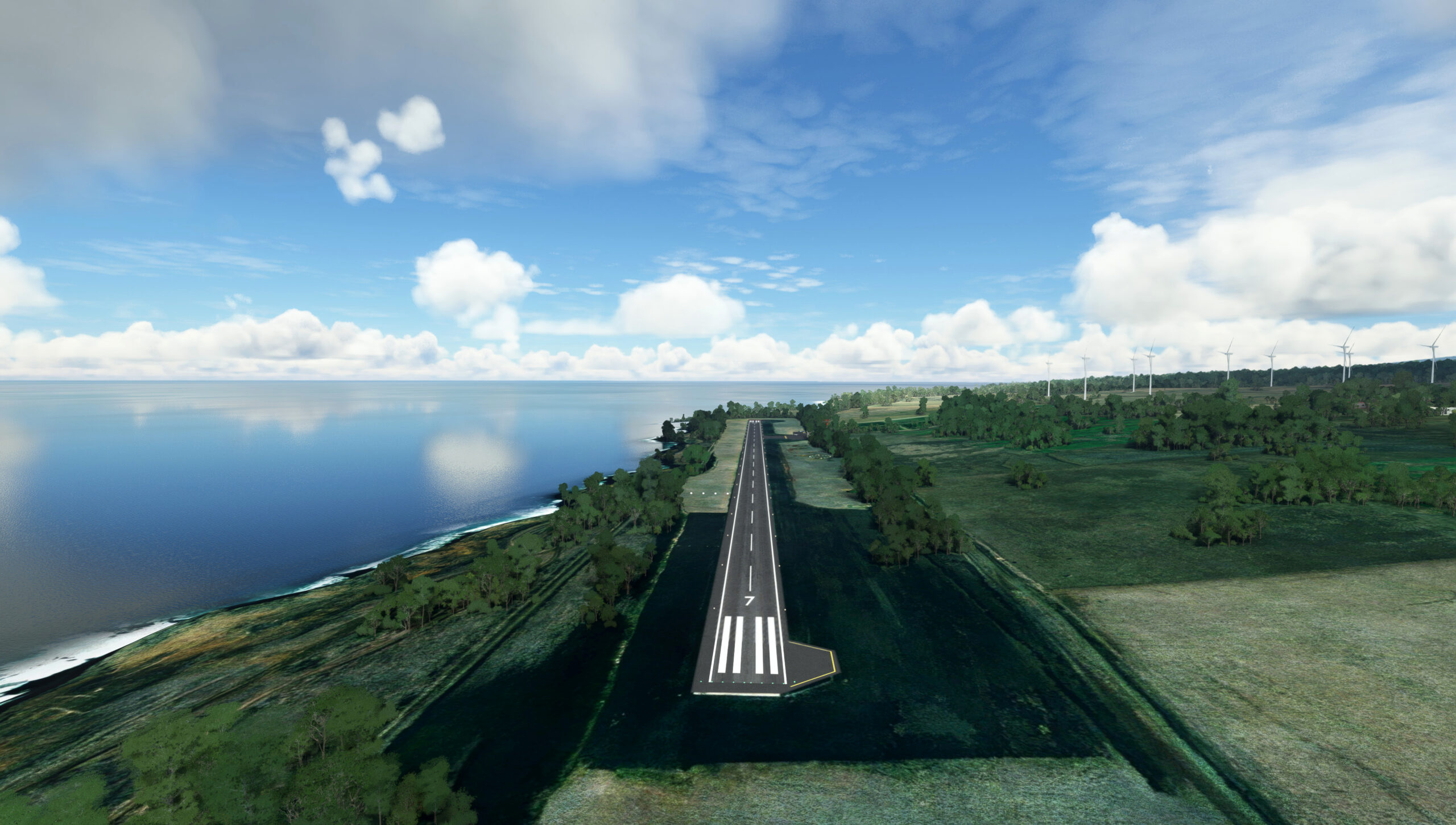
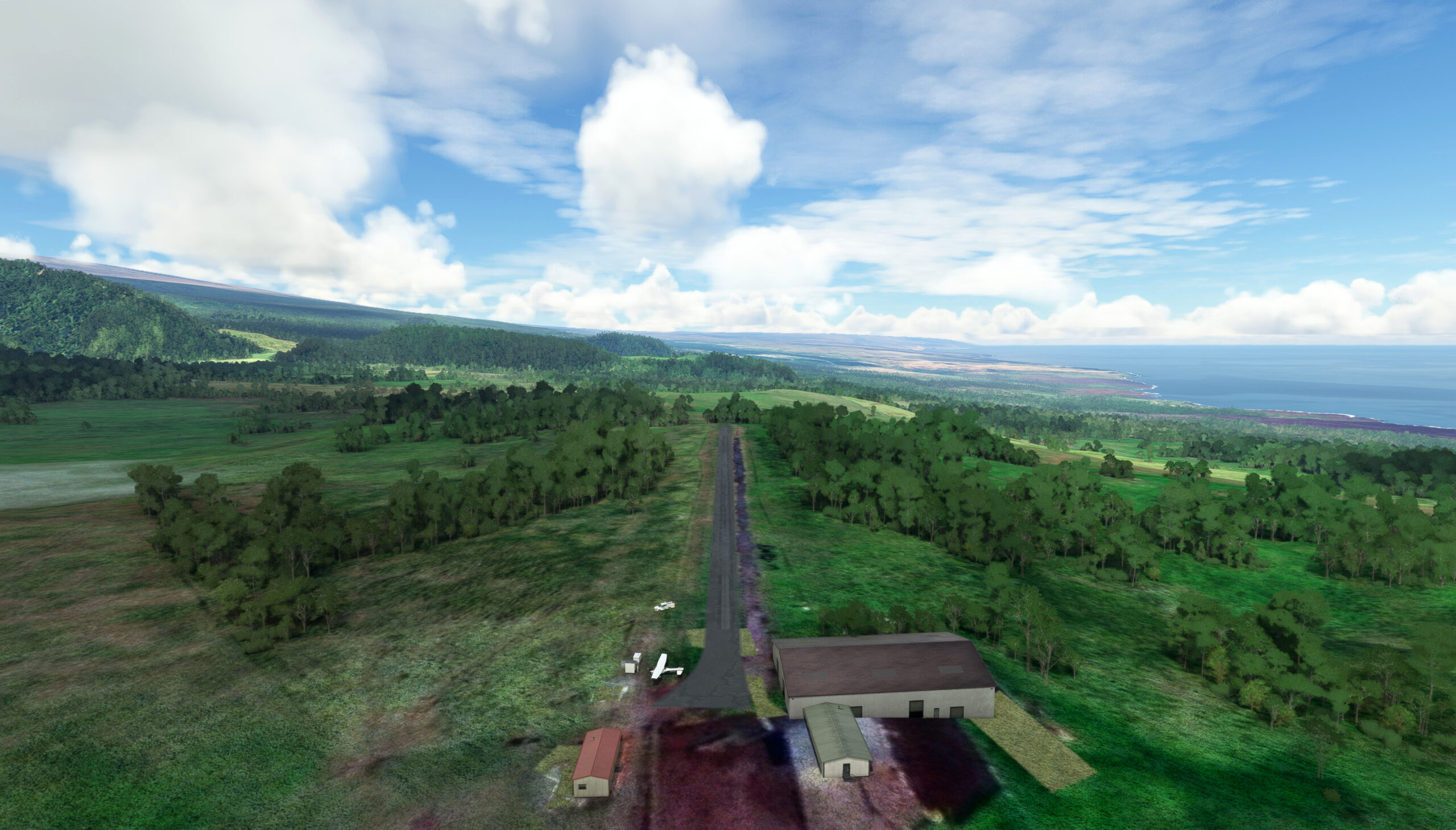
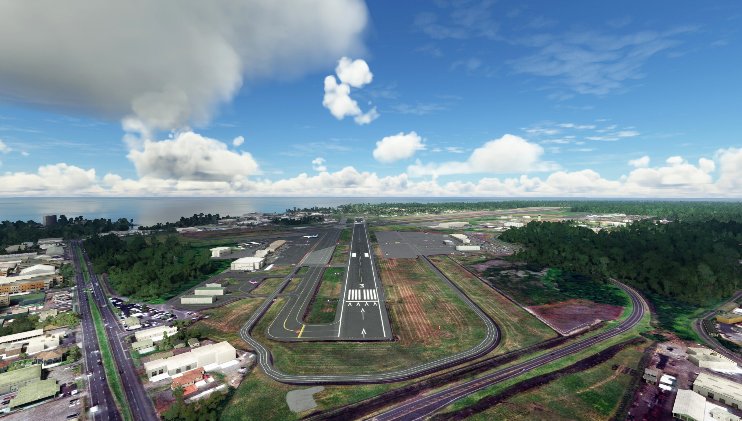
The American state of Hawaii is located in the mid-Pacific Ocean and comprises an archipelago of 137 islands. The island chain is geographically part of Oceania’s Polynesia, and is the only American state that is not part of the North American continent. The chain of islands spans 1,500 miles, and trends northwest-southeast. It comprises two subregions, the Northwestern (Leeward) Islands and the Southeastern (Windward) Islands. All of the islands are volcanic, and all of them formed due to magma upwelling from what geologists call the Hawaii Hotspot as the Pacific Plate moved gradually in a southeast to northwest direction. As a result of this geologic activity, the oldest islands in Hawaii are members of the Northwestern (Leeward) Island group. The youngest of the islands, including Hawaii (also called the ‘Big Island’), Maui, Oahu, and Kaui, are all part of the Southeastern (Windward) Islands.
The islands of Hawaii abound with myriad diverse sights for the aviator: coastlines of eroded lava, deeply-incised and heavily forested peaks, small islets, and modern architecture. This bush trip encompasses the best that Hawaii has to offer. From within the cockpit of a Cessna 152, enjoy Hawaii’s sights while hopping from island to island in this mid-Pacific wonder realm!
Total Legs: 7 Total Distance: 480 Total Time(125kts): 3 hours 50 minutes
Leg 1
Princeville to Dillingham Airfield
Leg Distance: 120.25 Approximate time at 125kts: 58 minutes.
Princeville(HI01) to Ha’ena State Park(POI1)
Distance: 7.7NM Bearing: 266° 4 minutes
After lifting off from Princeville Airport on the island of Kauai, head to the west, passing just south of the town of Princeville and then out over a series of small coves. Fly over the dramatic coastline at Ha’ena State Park at the far northern coast of Kaui. The park protects beaches and ancient Hawaiian archaeological cave sites.
Ha’ena State Park(POI1) to Na Pali-Kona Forest Reserve(POI2)
Distance: 6.41NM Bearing: 173° 3 minutes
Turn to the south, gaining altitude to fly over the dramatic landscapes of the Na Pali-Kona Forest Reserve, including the world famous Na Pali Coastline, characterized by steeply-incised cliff faces.
Na Pali-Kona Forest Reserve(POI2) to Alkalai Swamp(POI3)
Distance: 3.24NM Bearing: 113° 2 minutes
Turn to the southeast and continue to gain altitude, passing over Alkalai Swamp, a series of bogs fed by runoff from nearby Mount Wai’ale’ale.
Alkalai Swamp(POI3) to Mount Wai’ale’ale(POI4)
Distance: 2.52NM Bearing: 103° 1 minutes
Continue on course and pass over the summit of Mount Wai’ale’ale. Located near the middle of Kauai, Mount Wai’ale’ale, which roughly translates “abundant water,” is the second highest peak on the island at 5,148 feet above sea level. The peak, which is an eroded shield volcano, is renowned as one of the wettest locations on the planet; it receives an average of 450 inches of rain per year – 37.5 feet of rain! The mountain is often shrouded in clouds throughout the year.
Mount Wai’ale’ale(POI4) to Waimea(POI5)
Distance: 11.87NM Bearing: 224° 6 minutes
Turn to the southwest and fly over the small coastal city of Waimea. Waimea was the site of the first European contact of the Hawaiian Islands when British navigator Captain James Cook’s two ships arrived at the location on January 20, 1778.
Waimea(POI5) to Koloa(KOLOA)
Distance: 11.67NM Bearing: 95° 6 minutes
From Waimea, turn to the east-southeast and parallel the coast, flying just inland of the shoreline, to reach the city of Koloa, one of the southernmost communities on the island of Kauai.
Koloa(KOLOA) to Lihue(LIHUE)
Distance: 8.18NM Bearing: 47° 4 minutes
Turn to the northeast and parallel the coastline to reach the city of Lihue.
Lihue(LIHUE) to O’hau(O’HAU)
Distance: 64.89NM Bearing: 102° 31 minutes
At Lihue, turn to the southeast and fly over the Kauai Channel, which separates Kauai from the island of O’ahu. Also called the Kaieiewaho Channel, it is the deepest of all nine main channels of the Hawaiian Islands at 10,890 feet and measures just over 72 miles in width. The area is used extensively for military aviation and naval exercises. Like many channels of the Hawaiian Islands, a number of people have attempted to swim across the Kauai Channel. The challenge was finally completed in 2010 as a relay between two swimmers. After flying over the channel, arrive at the island of O’ahu, the most populous of the Hawaiian Islands and home to its capital, Honolulu.
O’hau(O’HAU) to Dillingham Airfield(PHDH)
Distance: 3.77NM Bearing: 74° 2 minutes
Dillingham Airfield: Arrive at the island of O’ahu at Ka’ena Point, the westernmost point of the island of O’ahu, then land at Dillingham Airfield, which is aligned parallel to the coastline just to the east of Ka’ena Point.

Leg 2
Dillingham Airfield to Molokai
Leg Distance: 70.99 Approximate time at 125kts: 34 minutes.
Dillingham Airfield(PHDH) to Mokuleia(POI6)
Distance: 2.48NM Bearing: 80° 1 minutes
After lifting off from Dillingham Airfield, parallel the coast to the east to reach Mokuleia.
Mokuleia(POI6) to Waipau(POI7)
Distance: 14.16NM Bearing: 135° 7 minutes
From Mokuleia, turn to the southeast, flying over the interior of O’ahu, passing over Schofield Barracks, a U.S. Army installation. Continue over the Waianae Mountains, and sight Honolulu in the distance, then pass over Waipahu. Waipahu has its roots in the sugar cane cultivation industry.
Waipau(POI7) to Honolulu(POI8)
Distance: 9.5NM Bearing: 109° 5 minutes
From Waipahu, fly over Pearl Harbor and then parallel the coastline to Honolulu, the most populous city in Hawaii and the state capital. The word Honolulu roughly translates to “sheltered harbor,” and today it is Hawaii’s main seaport, airport, and center of business, finance, and tourism. Being located in the mid-Pacific Ocean, Honolulu is the most remote of America’s large cities and the most remote capital.
Honolulu(POI8) to Diamond Head State Monument(POI9)
Distance: 4.17NM Bearing: 125° 2 minutes
Continue paralleling the coast, flying southeast from Honolulu, to reach Diamond Head. Diamond Head is an eroded volcanic cone on the southern shore of O’ahu, and provides spectacular views of the natural forms and topography of this part of Hawaii and the architecture of the city.
Diamond Head State Monument(POI9) to Molokai(POI10)
Distance: 30.22NM Bearing: 95° 15 minutes
From Diamond Head, set a course to the east-southeast and pass over the 26-mile-wide Molokai Channel. Also called the Kaiwi Channel, the Molokai Channel is one of the world’s most treacherous bodies of water due to regional ocean currents in the area combined with frequent high winds. Long distance swimmers, paddleboarders, and outrigger canoeists frequently attempt crossing the Molokai Channel. Sight the island of Molokai and pass over its western shores at Small Bay.
Molokai(POI10) to Molokai(PHMK)
Distance: 10.46NM Bearing: 75° 5 minutes
Molokai Airport: Fly along the spine of the island of Molokai and land at Molokai Airport, which lies at roughly the midpoint between the island’s north and south shores.

Leg 3
Molokai to Kapalua
Leg Distance: 41.72 Approximate time at 125kts: 20 minutes.
Molokai(PHMK) to Lanai(LANAI)
Distance: 14.91NM Bearing: 153° 7 minutes
After taking to the sky again at Molokai Airport, set a heading to the south-southeast and pass over the southern coast of Molokai and out over the open water of the Kalohi Channel. The 9.3-mile-wide Kalohi Channel separates the islands of Molokai and Lanai and is relatively shallow with a maximum depth of 260 feet. The island of Lanai, which has roots in pineapple production, is almost entirely privately owned.
Lanai(LANAI) to Lanai City(POI11)
Distance: 7.73NM Bearing: 125° 4 minutes
Once over the northern coast of Lanai, turn to the southeast and pass over Lanai City, which lies at roughly the center point of the island. Lanai City is the largest city on Lanai and functions as its administrative and business center.
Lanai City(POI11) to Lahaina(POI12)
Distance: 13.76NM Bearing: 67° 7 minutes
From Lanai City, set a heading to the east-northeast and pass over the eastern shore of the island of Lanai to reach the ‘Au‘au Channel, which separates Lanai from the island of Maui. The 8.8-mile-wide channel is one of the most protected straits throughout the Hawaiian islands, and it is shallow, with a maximum depth of just over 100 feet. Its calm waters are a sanctuary for Humpback whales during winter months. Reach the coastal city of Lahaina on West Maui after passing over the channel.
Lahaina(POI12) to Kaanapali(POI13)
Distance: 3.38NM Bearing: 340° 2 minutes
From Lahaina, turn to the north and track the coastline to the beach community of Kaanapali.
Kaanapali(POI13) to Kapalua(PHJH)
Distance: 1.94NM Bearing: 24° 1 minutes
Kapalua Airport: Continue following the coastline and land at Kapalua Airport.

Leg 4
Kapalua to Hana
Leg Distance: 43.13 Approximate time at 125kts: 21 minutes.
Kapalua(PHJH) to Kapalua(POI14)
Distance: 2.23NM Bearing: 3° 1 minutes
Take off from Kapalua Airport and trace the coastline to the northeast and reach the resort town of Kapalua.
Kapalua(POI14) to Kahakuloa(POI15)
Distance: 6.22NM Bearing: 80° 3 minutes
From Kapalua, fly inland of the coastline on a due-east heading to Kahakuloa. This is the northernmost part of the island of Maui, and is characterized by stunning and dramatic mountains and coastline.
Kahakuloa(POI15) to Kahului(POI16)
Distance: 7.04NM Bearing: 139° 3 minutes
Skirt the coastline, admiring the views of the shoreline, the Pacific Ocean, and the dramatic inland mountains to reach Kahului, the most populous city on Maui.
Kahului(POI16) to Ka’anae(POI17)
Distance: 19.21NM Bearing: 88° 9 minutes
Fly to the southeast, passing over the northern extremity of the Kookau Forest Reserve to reach the small coastal community of Ka’anae.
Ka’anae(POI17) to Hana(PHHN)
Distance: 8.43NM Bearing: 107° 4 minutes
Continue in a southeast heading and land at Hana Airport.

Leg 5
Hana to Upolu
Leg Distance: 34.68 Approximate time at 125kts: 17 minutes.
Hana(PHHN) to Hana City(POI18)
Distance: 2.81NM Bearing: 138° 1 minutes
From Hana Airport, follow the coastline to Hana City. Hana City is the easternmost population center on Maui and one of the most remote population centers in all of Hawaii. It was established as a sugarcane production center and is today a tourism destination.
Hana City(POI18) to Wailua Falls(POI19)
Distance: 5NM Bearing: 199° 2 minutes
Track the coastline to the southwest from Hana City to Wailua Falls.
Wailua Falls(POI19) to Upolu(PHUP)
Distance: 26.87NM Bearing: 150° 13 minutes
From Wailua Falls, turn onto a south-southeast heading and fly out over the Alenuihāhā Channel, which separates the island of Maui from the island of Hawaii (also called the “Big Island”). This channel, which is 30 miles wide and just over 6,000 feet deep at its deepest, experiences extreme winds due to a funneling effect between Maui and the island of Hawaii. Once across the channel, land at Upola Airport, which lies at the very northern end of the Big Island. The Big Island, which lies 2,400 west-southwest of San Diego, California, is the largest and youngest of the islands of the state of Hawaii, and the largest island in the United States. It is centered on the shield volcano Mauna Kea, which at 13,803 feet above sea level is the high point of the island and the state. It is also the tallest mountain on the planet, when measured from its base (deep under the surface of the Pacific Ocean). The total height of Mauna Kea is 33,465 feet.

Leg 6
Upolu to Kaalaiki Airstrip
Leg Distance: 94.9 Approximate time at 125kts: 46 minutes.
Upolu(PHUP) to Waimea(POI20)
Distance: 18.15NM Bearing: 135° 9 minutes
After returning to the air at Upola Airport, fly to the south-southeast, slowly gaining altitude. Ahead is the summit complex of Mauna Kea, the high point of the island of Hawaii and home to the Mauna Kea Observatories, a cluster of extremely sensitive deep space observatories placed on Mauna Kea due to its clear air and distance from light polluting cities. Pass over the city of Waimea, a ranching center, then turn onto a southwest heading.
Waimea(POI20) to Pu’u Wa’awa’a Forest Reserve(POI21)
Distance: 15.67NM Bearing: 208° 8 minutes
Continue on course and fly over the Pu’u Wa’awa’a Forest Reserve, which offers views of volcanic forms and distant coastal and sea vistas.
Pu’u Wa’awa’a Forest Reserve(POI21) to Kailua-Kona(POI22)
Distance: 13.38NM Bearing: 211° 6 minutes
Reach the western coast of the island of Hawaii at the community of Kailua-Kona.
Kailua-Kona(POI22) to Keokea(POI23)
Distance: 15.13NM Bearing: 146° 7 minutes
Track the coastline on a south-southeast course, staying just inland, to the small town of Keokea.
Keokea(POI23) to Pebbles Beach(POI24)
Distance: 6.15NM Bearing: 173° 3 minutes
The beach community of Pebbles Beach lies just to the south of Keokea.
Pebbles Beach(POI24) to Hawaiian Ocean View(POI25)
Distance: 16.41NM Bearing: 142° 8 minutes
From Pebbles Beach, continue inland on a southeast heading to reach Hawaiian Ocean View.
Hawaiian Ocean View(POI25) to Kaalaiki Airstrip(HI25)
Distance: 10.01NM Bearing: 64° 5 minutes
From Hawaiian Ocean View, turn to the east-northeast and land at Kaalaiki Airstrip.

Leg 7
Kaalaiki Airstrip to Hilo Intl
Leg Distance: 74.4 Approximate time at 125kts: 36 minutes.
Kaalaiki Airstrip(HI25) to Pahala(POI26)
Distance: 7.43NM Bearing: 41° 4 minutes
Take to the air from Kaalaiki Airstrip and set a course to the northeast to the small town of Pahala, renowned for its ocean views.
Pahala(POI26) to Hawaii Volcanoes National Park(POI27)
Distance: 18.45NM Bearing: 33° 9 minutes
Continue inland on a northeast course to Hawaii Volcanoes National Park. The park is one of the most spectacular in the world, as it protects two active volcanoes, Kīlauea and Mauna Loa. The area extends from sea level to the summit of Mauna Loa, 13,679 feet above sea level, the second highest point in Hawaii after Mauna Kea.
Hawaii Volcanoes National Park(POI27) to Kalapana(POI28)
Distance: 16.97NM Bearing: 93° 8 minutes
From Hawaii Volcanoes National Park, turn to the east-southeast and rejoin the Pacific coastline at the town of Kalapana. Much of the town was destroyed in 1990 when lava from Kīlauea buried most of the region.
Kalapana(POI28) to Isaac Hale Beach Park(POI29)
Distance: 8.93NM Bearing: 41° 4 minutes
Follow the coastline from Kalapana to the northeast to reach Isaac Hale Beach Park. Named for U.S. Army soldier Private Isaac Kepookani Hale, who died in the Korean War, the park is characterized by its black sand beaches.
Isaac Hale Beach Park(POI29) to Hawaiian Beaches(POI30)
Distance: 6.18NM Bearing: 312° 3 minutes
Track the coastline to the northwest to the small city of Hawaiian Beaches.
Hawaiian Beaches(POI30) to Hilo(HILO)
Distance: 13.36NM Bearing: 301° 6 minutes
From Hawaiian Beaches, continue to the northwest, staying just inland of the coastline, to reach the city of Hilo, the largest population center on the island of Hawaii and its center of tourism, trade, and business.
Hilo(HILO) to Hilo Intl(PHTO)
Distance: 3.08NM Bearing: 37° 1 minutes
Land at Hilo International Airport, which lies in the shadow of the massive volcanoes Mauna Loa and Mauna Kea on the shore of the Pacific Ocean.

