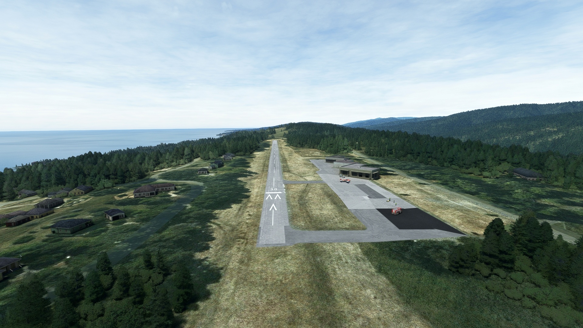
The state of California is one of the most geographically diverse places in the world. It hosts a tremendous range of sights from urban, to coastal, to desert, to mountain, and much more. The state contains both the highest point in the conterminous United States (Mount Whitney) and the lowest point in the country (Badwater Basin). It is home to grand monuments of infrastructure and architecture like the Golden Gate Bridge of San Francisco and the U.S. Bank Tower of Los Angeles. It is also a realm steeped in history, notably of those inspired to dream big and create masterpieces of technology and art of all types and to strike off and explore the peaks, shorelines, and other reaches of the state.
California Dreams celebrates this part of the United States through an aerial itinerary that weaves through the most spectacular, the most renowned, and the most historic that this state has to offer. Beginning at Santa Catalina Island, one of southern California’s Channel Islands, the flight visits Los Angeles, the Mojave Desert, Death Valley, the High Sierra, the Great Central Valley, and San Francisco before coming to an end on the northern California coast.
Assistance on the trip will be available in the form of a ‘Back on Track’ button on the VFR Map — however, be advised that using this will disable achievements tied to the activity.
Total Legs: 13 Total Distance: 860 Total Time(125kts): 6 hours 52 minutes
Leg 1
Catalina to Palmdale Usaf Plant 42
Leg Distance: 83.64 Approximate time at 125kts: 40 minutes.
Catalina(KAVX) to Long Point(POI1)
Distance: 19.92NM Bearing: 351° 10 minutes
After lifting into the sky from Catalina Airport, cross the Gulf of Santa Catalina, leaving Santa Catalina Island, the easternmost of the mountainous Channel Islands archipelago. Long Point is a promontory just to the west of the port cities of San Pedro and Long Beach.
Long Point(POI1) to Torrance(POI2)
Distance: 6.55NM Bearing: 15° 3 minutes
Fly inland toward downtown Los Angeles and its tall skyscrapers, passing over Torrance.
Torrance(POI2) to Downtown Los Angeles(POI3)
Distance: 13.73NM Bearing: 9° 7 minutes
Continue toward the skyscrapers and weaves of highways of downtown Los Angeles. Set against a backdrop of the San Gabriel Mountains, downtown Los Angles comprises some of California’s greatest architectural feats, including Wilshire Grand Center, the tallest building on the West Coast, and the U.S. Bank Tower.
Downtown Los Angeles(POI3) to Griffith Park(POI4)
Distance: 5.95NM Bearing: 320° 3 minutes
One of California’s most notable destinations is Griffith Park. Named after industrialist Griffith J. Griffith, who donated the land to the city of Los Angeles in 1896, the park is home to the famous Hollywood Sign, the Griffith Observatory, the Los Angeles Zoo, and at one time, the Griffith Park Aerodrome.
Griffith Park(POI4) to Mount Wilson(POI5)
Distance: 13.08NM Bearing: 55° 6 minutes
5,710-foot-high Mount Wilson, part of the San Gabriel Mountains, is notable for the Mount Wilson Observatory, which contains some of the most historically significant telescopes in the world of astronomy, dating to the early 1900s. The observatory continues to serve science with a number of instruments in use to this day.
Mount Wilson(POI5) to Blackbird Airpark(POI6)
Distance: 22.81NM Bearing: 345° 11 minutes
Continue to the north over the crest of the San Gabriel Mountains into the Antelope Valley, sighting Palmdale in the distance. Just to the north of downtown Palmdale lies Blackbird Airpark, an annex of the Air Force Flight Test Museum, which has on display a Lockheed F-117 Nighthawk, a Lockheed U-2 Dragon Lady, a Lockheed A-12 (progenitor to the SR-71), and a Lockheed SR-71 Blackbird.
Blackbird Airpark(POI6) to Palmdale Usaf Plant 42(KPMD)
Distance: 1.6NM Bearing: 351° 1 minutes
Continue north and land at Palmdale USAF Plant 42 Airport, the location of the famed Skunk Works facility.
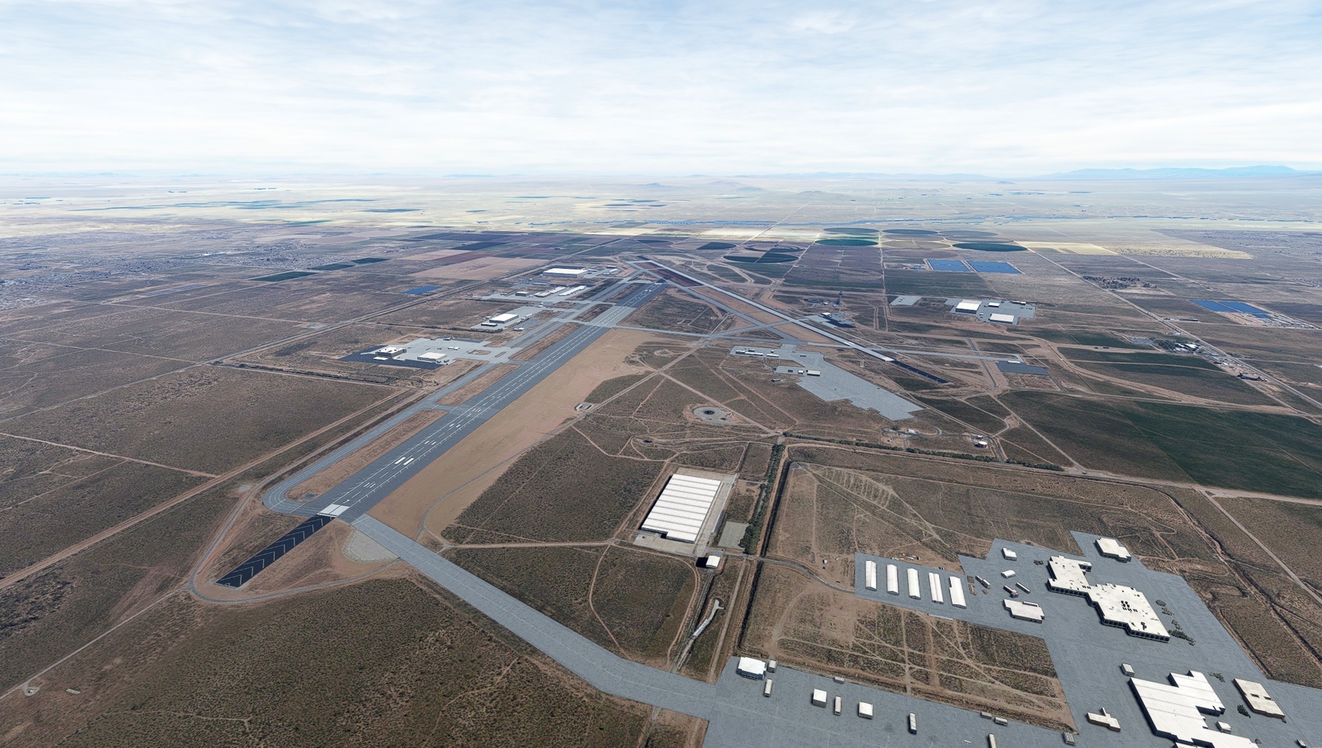
Leg 2
Palmdale Usaf Plant 42 to Barstow-Daggett
Leg Distance: 78.58 Approximate time at 125kts: 38 minutes.
Palmdale Usaf Plant 42(KPMD) to Rosamond Dry Lake(POI7)
Distance: 12.58NM Bearing: 350° 6 minutes
After launching from Plant 42 Airport, head north to Rosamond Dry Lake, located within Edwards Air Force Base.
Rosamond Dry Lake(POI7) to Rogers Dry Lake(POI8)
Distance: 12.45NM Bearing: 52° 6 minutes
A National Historic Landmark, Rogers Dry Lake, part of Edwards Air Force Base, was used to test a number of experimental aircraft, including the Bell X-1 in which Chuck Yeager first broke the sound barrier, and Space Shuttle orbiters to land after returning from missions.
Rogers Dry Lake(POI8) to Helendale Radar Cross Section Facility(POI9)
Distance: 27.91NM Bearing: 91° 13 minutes
From Rogers Dry Lake, continue east-southeast, over the desert, to Helendale Radar Cross Section Facility, used to test and develop low observable (stealth) aircraft.
Helendale Radar Cross Section Facility(POI9) to Site of Solar One(POI10)
Distance: 23.08NM Bearing: 71° 11 minutes
Pass over the city of Barstow and just to its east lies the site of Solar One, an experimental solar power project.
Site of Solar One(POI10) to Barstow-Daggett(KDAG)
Distance: 2.56NM Bearing: 104° 1 minutes
Land at Barstow-Daggett Airport.
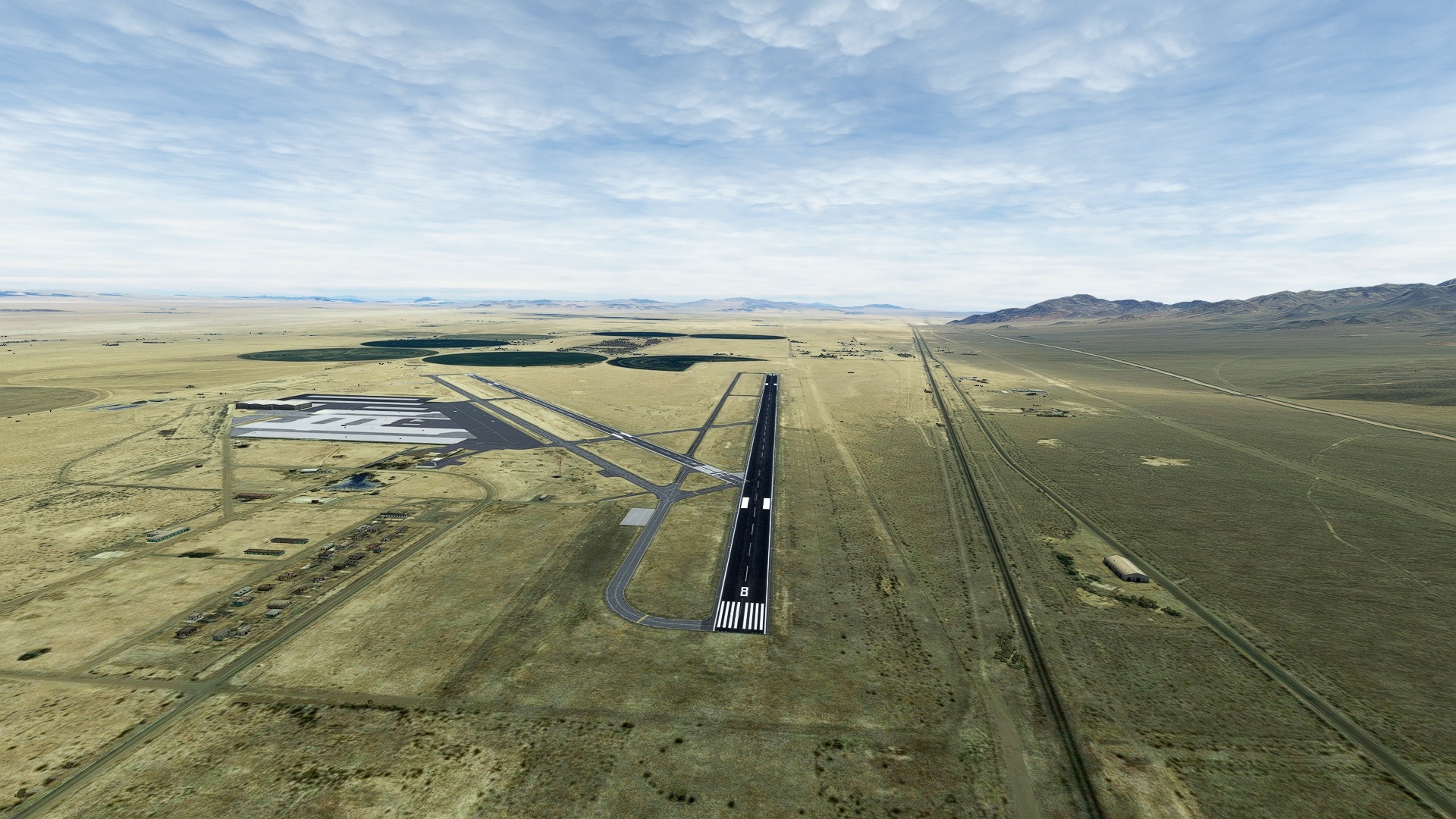
Leg 3
Barstow-Daggett to Baker
Leg Distance: 54.58 Approximate time at 125kts: 26 minutes.
Barstow-Daggett(KDAG) to Troy Lake(POI11)
Distance: 10.93NM Bearing: 80° 5 minutes
After lifting into the desert sky, fly east, over Troy Lake, which is occasionally inundated by water after heavy rains, but is typically dry.
Troy Lake(POI11) to Mojave National Preserve(POI12)
Distance: 20.3NM Bearing: 69° 10 minutes
Continue east, over the low Cady Mountains, to the desert wonderland protected by the Mojave National Preserve, which protects the Kelso Dunes and a number of jagged mountain ranges.
Mojave National Preserve(POI12) to Soda Lake(POI13)
Distance: 16.9NM Bearing: 2° 8 minutes
With the Kelso Dunes clearly sighted, turn into a north-northeast heading, flying over a broad desert plain called a bajada to Soda Lake, a large, white dry lakebed that lies at the terminus of the Mojave River. The tiny community of Zzyzx, built around a natural spring, lies on the western periphery of the lakebed.
Soda Lake(POI13) to Baker(0O2)
Distance: 6.45NM Bearing: 348° 3 minutes
After passing over Soda Lake, land at Baker Airport.
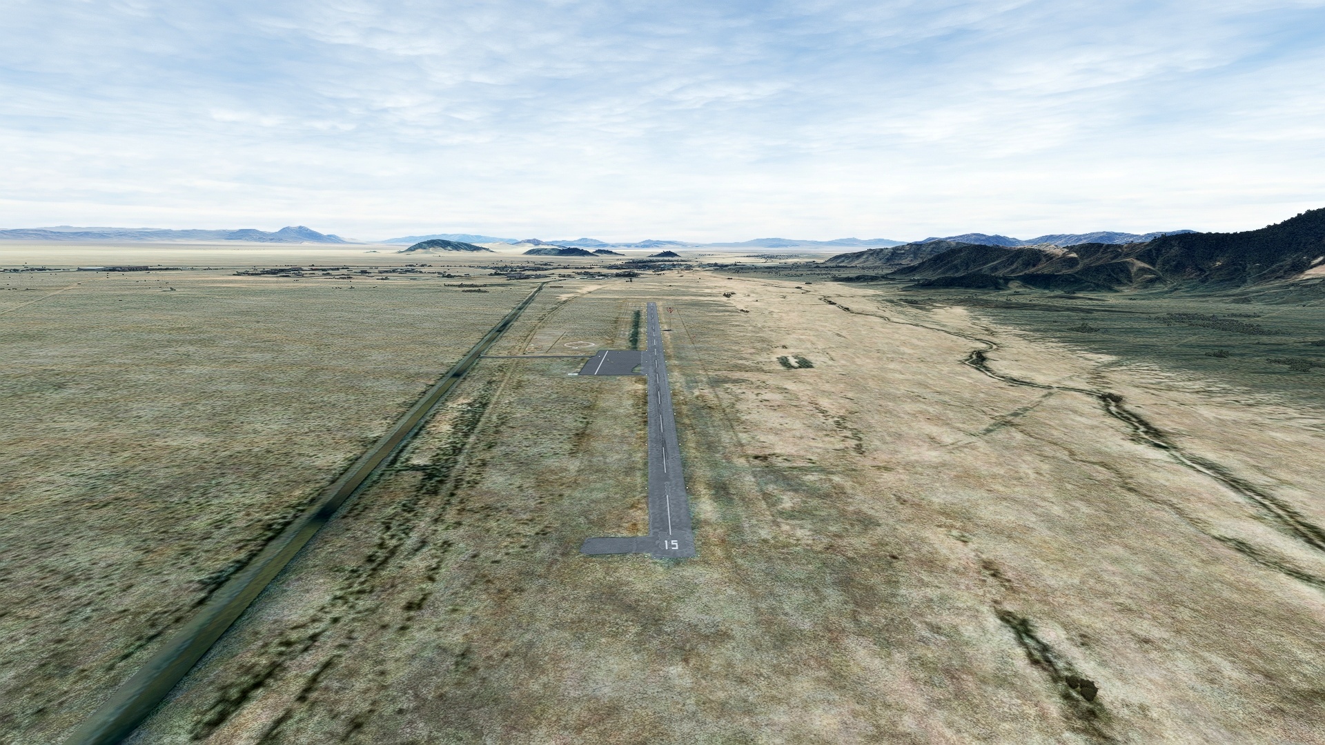
Leg 4
Baker to Shoshone
Leg Distance: 46.88 Approximate time at 125kts: 23 minutes.
Baker(0O2) to Silver Lake(POI14)
Distance: 4.29NM Bearing: 325° 2 minutes
Just north of Baker Airport lies the dry Silver Lake.
Silver Lake(POI14) to Silurian Lake(POI15)
Distance: 10.81NM Bearing: 336° 5 minutes
Smaller than Silver Lake, this dry lakebed lies just to the south of Death Valley.
Silurian Lake(POI15) to Ibex Dunes(POI16)
Distance: 14.07NM Bearing: 304° 7 minutes
Located at the southern end of Death Valley, the Ibex Dunes are some of the remote sand dunes in the United States.
Ibex Dunes(POI16) to Grimshaw Lake(POI17)
Distance: 11.94NM Bearing: 15° 6 minutes
Turn to the northeast and follow State Route 127 to the town of Tecopa and Grimshaw Lake, a small wetland.
Grimshaw Lake(POI17) to Shoshone(L61)
Distance: 5.77NM Bearing: 343° 3 minutes
Land at Shoshone airport, just north of Grimshaw Lake.

Leg 5
Shoshone to Furnace Creek
Leg Distance: 75.85 Approximate time at 125kts: 36 minutes.
Shoshone(L61) to Amargosa River(POI18)
Distance: 17.98NM Bearing: 238° 9 minutes
After launching from Shoshone Airport, fly southwest, over the Ibex Hills, into southern Death Valley and the Amargosa River, which is dry most of the time.
Amargosa River(POI18) to Shore Line Butte(POI19)
Distance: 5.33NM Bearing: 291° 3 minutes
Turn to the northwest to visit Shore Line Butte, an ancient cinder cone with terraces cut into it from waves from Lake Manley, which inundated Death Valley during the Pleistocene epoch (most recent Ice Age).
Shore Line Butte(POI19) to Gold Hill(POI20)
Distance: 14.22NM Bearing: 284° 7 minutes
Continue northwest, toward the Panamint Mountains, which form the western wall of Death Valley, and begin gaining altitude and pass over Gold Hill, site of an abandoned mine.
Gold Hill(POI20) to Telescope Peak(POI21)
Distance: 10.95NM Bearing: 318° 5 minutes
Gain altitude and continue to the northwest, toward the crest of the Panamint Mountains and its highest point, Telescope Peak, 11,049 feet above sea level, also the highest point in Death Valley National Park.
Telescope Peak(POI21) to Hanaupah Canyon(POI22)
Distance: 3.04NM Bearing: 62° 1 minutes
At Telescope Peak, turn to the east-northeast and follow Hanaupah Canyon, a deep chasm that opens to Death Valley, over two vertical miles beneath Telescope Peak. This location grants an exceptional view of Death Valley, which is technically a geologic feature called a graben, which sinks relative to the mountains on its boundaries through tectonic activity.
Hanaupah Canyon(POI22) to Sea Level(POI23)
Distance: 5.71NM Bearing: 59° 3 minutes
With all of the white salt flats of the lowest portion of Death Valley as a vista, pass over the sea level mark.
Sea Level(POI23) to Badwater Basin(POI24)
Distance: 4.41NM Bearing: 59° 2 minutes
Continue on course to Badwater Basin, the lowest point in California, the United States, North America, and all of the Western Hemisphere at 282 feet below sea level. This is also one of the hottest places in the world, with temperatures regularly topping 120 degrees Fahrenheit during the summer months.
Badwater Basin(POI24) to Artists Palette(POI25)
Distance: 7.52NM Bearing: 356° 4 minutes
From Badwater Basin, fly north, following the base of the Amargosa Mountains to Artists Palette, a multi-colored badland formation created due to oxidizing minerals in the landscape.
Artists Palette(POI25) to Furnace Creek(L06)
Distance: 6.69NM Bearing: 318° 3 minutes
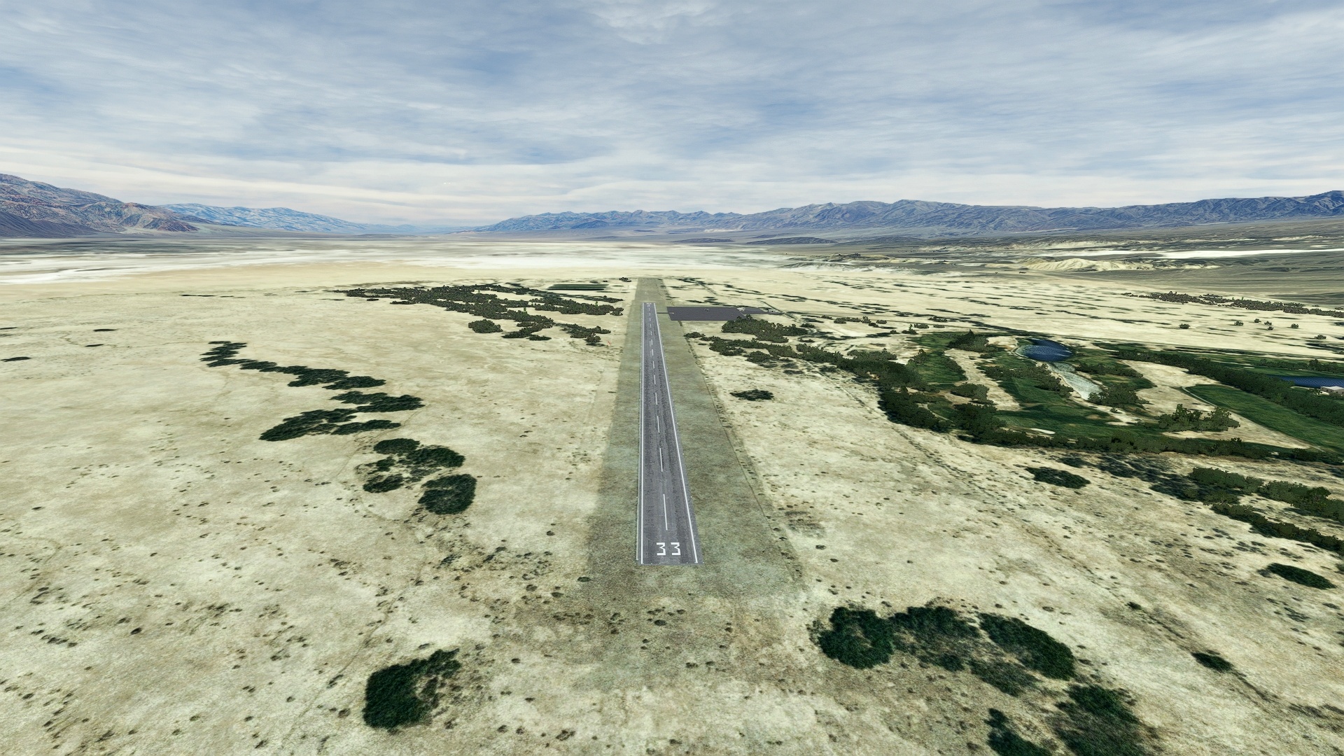
Furnace Creek Airport: Land at Furnace Creek Airport, the lowest airport in the United States at 210 feet below sea level.
Leg 6
Furnace Creek to Lone Pine
Leg Distance: 71.7 Approximate time at 125kts: 34 minutes.
Furnace Creek(L06) to Tucki Mountain(POI26)
Distance: 12.36NM Bearing: 269° 6 minutes
Lift off from Furnace Creek Airport and fly to the west-northwest, gaining altitude along the eastern margin of the Panamint Range to Tucki Mountain, a prominent peak north of Telescope Peak.
Tucki Mountain(POI26) to Panamint Valley(POI27)
Distance: 13.78NM Bearing: 245° 7 minutes
From Tucki Mountain, fly into the Panamint Valley.
Panamint Valley(POI27) to Hunter Mountain(POI28)
Distance: 7.21NM Bearing: 309° 3 minutes
With the Panamint Dunes in sight, turn toward Hunter Mountain, an imposing peak standing 7,329 feet above sea level that defines the northern end of Panamint Valley.
Hunter Mountain(POI28) to The Racetrack(POI29)
Distance: 8.67NM Bearing: 331° 4 minutes
Up ahead, sight the Racetrack, an oval-shaped tan dry lakebed that is famous for its moving rocks, also called “sailing stones” on its southern extremity that move due to the interaction of wind, ice, and slick mud.
The Racetrack(POI29) to Cerro Gordo(POI30)
Distance: 13.5NM Bearing: 224° 6 minutes
Set a southwest heading and fly over the southern Saline Valley to Cerro Gordo, a peak in the Inyo Mountains with a number of silver, zinc, and lead mines.
Cerro Gordo(POI30) to Keeler(POI31)
Distance: 5.44NM Bearing: 215° 3 minutes
Follow the old ore tramway from Cerro Gordo down to the shore of Owens Lake and the ghost town of Keeler.
Keeler(POI31) to Owens Lake(POI32)
Distance: 5.45NM Bearing: 281° 3 minutes
Turn to the northwest and fly over the northern extremity of Owens Lake, which is infrequently inundated with water, but remains primarily dry.
Owens Lake(POI32) to Lone Pine(O26)
Distance: 5.29NM Bearing: 306° 3 minutes
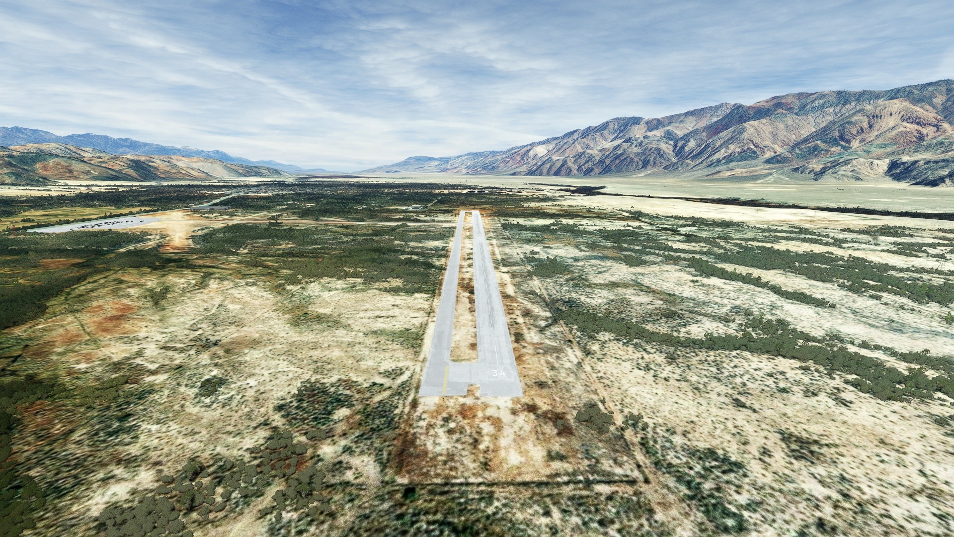
Bring the Grand Caravan down at Lone Pine Airport, and prepare for a high altitude flight over the crest of California’s Sierra Nevada.
Leg 7
Lone Pine to Bishop
Leg Distance: 69.3 Approximate time at 125kts: 33 minutes.
Lone Pine(O26) to Alabama Hills(POI33)
Distance: 3.44NM Bearing: 275° 2 minutes
After taking off from Lone Pine Airport, head to the west-northwest, gaining altitude. En route to the crest of the Sierra Nevada, fly over the Alabama Hills, a series of low formations of evocatively eroded rock groups that have been featured in dozens of famous movies, including Gunga Din and Iron Man.
Alabama Hills(POI33) to Whitney Portal(POI34)
Distance: 5.54NM Bearing: 248° 3 minutes
After passing over the Alabama Hills, continue to gain altitude and aim for the Whitney Portal, which lies below Mount Whitney, California’s highest point.
Whitney Portal(POI34) to Thor Peak(POI35)
Distance: 1.82NM Bearing: 233° 1 minutes
Pass over Whitney Portal and then head for the prominent ramp-topped peak just ahead, Thor Peak.
Thor Peak(POI35) to Mount Muir(POI36)
Distance: 1.69NM Bearing: 223° 1 minutes
Passing Thor Peak, the serrated crest of the Sierra Nevada mountains comes clearly into view. Continue to gain altitude and pass over Mount Muir, the lowest of the 12 “fourteeners” of the state (mountains over 14,000 feet elevation), and then turn north, following the serrated crest of the granitic range.
Mount Muir(POI36) to Mount Whitney(POI37)
Distance: 1.1NM Bearing: 349° 1 minutes
Fly over the summit of Mount Whitney, the highest point in California and the conterminous United States at 14,505 feet above sea level. Take a moment to appreciate the view to the east, along the steep slope of the Sierra Nevada Mountains; this is some of the most dramatic topography in the world.
Mount Whitney(POI37) to Mount Russell(POI38)
Distance: 0.72NM Bearing: 347° 0 minutes
Continue north from Mount Whitney to Mount Russell, 14,094 feet and enjoy the view of high mountain lakes, ridges, and peaks.
Mount Russell(POI38) to Mount Williamson(POI39)
Distance: 3.8NM Bearing: 331° 2 minutes
Continue along the crest of California to Mount Williamson (14,379’), the second highest mountain in California.
Mount Williamson(POI39) to Mount Tyndall(POI40)
Distance: 0.88NM Bearing: 279° 0 minutes
Mount Tyndall (14,025’) lies just to the northwest of Mount Williamson.
Mount Tyndall(POI40) to Kearsarge Peak(POI41)
Distance: 8.01NM Bearing: 342° 4 minutes
The crest of the range leads to Kearsarge Pass, one of the most important passes in this part of the Sierra Nevada.
Kearsarge Peak(POI41) to Baxter Lake(POI42)
Distance: 3.7NM Bearing: 330° 2 minutes
Baxter Lake lies just to the northwest of the Sierra Crest.
Baxter Lake(POI42) to Split Mountain(POI43)
Distance: 10.64NM Bearing: 335° 5 minutes
Headed toward the Palisade group of Sierra Nevada Peaks, pass by Split Mountain.
Split Mountain(POI43) to The Thumb(POI44)
Distance: 3.3NM Bearing: 338° 2 minutes
The Thumb, a prominent peak in the Palisades region, lies just to the east of Middle Palisade Glacier.
The Thumb(POI44) to Middle Palisade Glacier(POI45)
Distance: 1.14NM Bearing: 257° 1 minutes
Turn due west at the Thumb to reach Middle Palisade Glacier.
Middle Palisade Glacier(POI45) to Palisade Glacier(POI46)
Distance: 2.85NM Bearing: 294° 1 minutes
Follow the dramatic peaks of the Palisade group, including Norman Clyde Peak, Palisade Crest, North Palisade, and Thunderbolt Peak to Palisade Glacier, the largest glacier in the Sierra Nevada.
Palisade Glacier(POI46) to Coyote Flats Airstrip(POI47)
Distance: 6.4NM Bearing: 1° 3 minutes
Turn to the north-northeast, back toward the Owens Valley, and pass over Coyote Flats Airstrip. Now abandoned, it was once used for experimental helicopters and was the highest airfield in the United States at 10,000 feet above sea level.
Coyote Flats Airstrip(POI47) to Owens River(POI48)
Distance: 10.6NM Bearing: 35° 5 minutes
Fly into the depths of the Owens Valley to the winding Owens River.
Owens River(POI48) to Bishop(KBIH)
Distance: 3.67NM Bearing: 309° 2 minutes
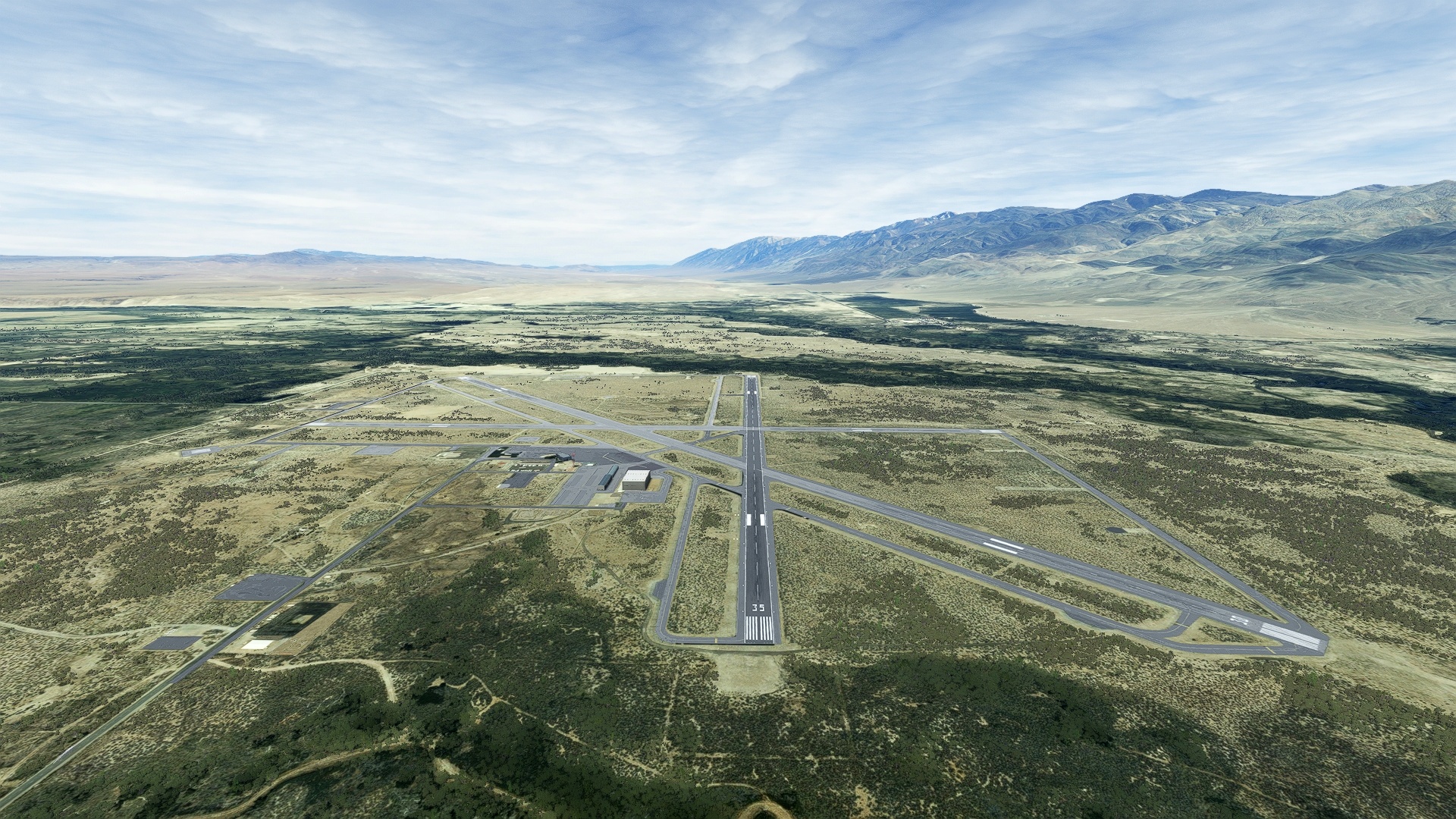
Set down at Eastern Sierra Regional Airport (Bishop Airport).
Leg 8
Bishop to Mammoth Yosemite
Leg Distance: 51.73 Approximate time at 125kts: 25 minutes.
Bishop(KBIH) to Chalfant Valley(POI49)
Distance: 9.04NM Bearing: 348° 4 minutes
From Bishop Airport, head due north, following the base of the White Mountains to the small ranching community of Chalfant Valley.
Chalfant Valley(POI49) to Patriarch Grove(POI50)
Distance: 7.89NM Bearing: 76° 4 minutes
Climb steeply up the western slope of the White Mountains to its broad crest at 11,000 feet above sea level to visit the Patriarch Grove of Bristlecone Pines, some of the oldest living trees on the planet, with some over 3,000 years in age in this grove.
Patriarch Grove(POI50) to Barcroft Field Station(POI51)
Distance: 3.8NM Bearing: 319° 2 minutes
Follow the dirt road from the Patriarch Grove to the Barcroft Field Station, a research facility at 12,470 which has recorded some of the highest winds in the world.
Barcroft Field Station(POI51) to White Mountain Peak(POI52)
Distance: 3.14NM Bearing: 329° 2 minutes
Continue along the crest of the White Mountains to the summit of White Mountain Peak, at 14,252 feet above sea level, the third highest mountain in California, and only one of two “fourteeners” not in the Sierra Nevada (the other being Mount Shasta, part of the Cascade Rage).
White Mountain Peak(POI52) to Owens Valley View(POI53)
Distance: 10.42NM Bearing: 258° 5 minutes
Head west, to a point where the entire Owens Valley comes dramatically into view. Like Death Valley, Owens Valley is a graben, formed through tectonic processes.
Owens Valley View(POI53) to Lake Crowley(POI54)
Distance: 11.87NM Bearing: 250° 6 minutes
Lake Crowley lies at the northern end of Owens Valley.
Lake Crowley(POI54) to Mammoth Yosemite(KMMH)
Distance: 5.57NM Bearing: 269° 3 minutes
Land at Mammoth Yosemite Airport.

Leg 9
Mammoth Yosemite to Bryant
Leg Distance: 50.86 Approximate time at 125kts: 24 minutes.
Mammoth Yosemite(KMMH) to Long Valley Caldera(POI55)
Distance: 2.68NM Bearing: 32° 1 minutes
Just north of Lake Crowley lies Long Valley Caldera. Formed 760,000 years ago through a massive volcanic eruption, Long Valley is one of the planet’s largest calderas, measuring 20 miles in length, 11 miles in width, and is 3,000 feet deep.
Long Valley Caldera(POI55) to Granite Mountain(POI56)
Distance: 16.12NM Bearing: 352° 8 minutes
From Long Valley Caldera, head to the north, passing over rolling volcanic terrain to Granite Mountain.
Granite Mountain(POI56) to Mono Lake(POI57)
Distance: 10.4NM Bearing: 269° 5 minutes
Mono Lake, northwest of Granite Mountain, is a nearly circular, saline lake formed in an enclosed basin to the east of the Sierra Nevada.
Mono Lake(POI57) to Paoha Island(POI58)
Distance: 3.44NM Bearing: 305° 2 minutes
Paoha Island is a volcanic island located near the center of Mono Lake.
Paoha Island(POI58) to Bryant(O57)
Distance: 18.22NM Bearing: 319° 9 minutes
From Paoha Island, fly over Negit Island and the north Shore of Mono Lake, then pass above the ghost town of Bodie and land at Bryant Field, just north of the town of Bridgeport.

Leg 10
Bryant to Columbia
Leg Distance: 61.74 Approximate time at 125kts: 30 minutes.
Bryant(O57) to Marine Corps Mountain Warfare Training Center(POI59)
Distance: 15.14NM Bearing: 279° 7 minutes
After lifting off from Bryant Field, head northwest, and roughly follow Route 395 to its junction with Highway 108 and head west to the Marine Corps Mountain Warfare Training Center, established in 1951 during the Korean War to train troops for cold weather and high mountain warfare due to the extreme conditions that occur here.
Marine Corps Mountain Warfare Training Center(POI59) to Sonora Pass(POI60)
Distance: 6.2NM Bearing: 247° 3 minutes
Turn to the west and climb in altitude to Sonora Pass at the crest of this portion of the Sierra Nevada.
Sonora Pass(POI60) to Pinecrest Lake(POI61)
Distance: 17.6NM Bearing: 229° 8 minutes
Slowly descend in altitude over the gentle western slope of the Sierra Nevada, roughly following Highway 108 to Pinecrest Lake.
Pinecrest Lake(POI61) to Columbia(O22)
Distance: 22.8NM Bearing: 231° 11 minutes
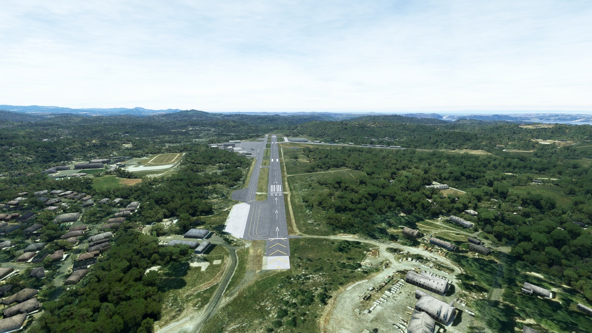
Continue on course to land at Columbia Airport.
Leg 11
Columbia to Buchanan Field
Leg Distance: 79.61 Approximate time at 125kts: 38 minutes.
Columbia(O22) to New Melones Lake(POI62)
Distance: 6.79NM Bearing: 244° 3 minutes
After taking to the sky from Columbia Airport, head nearly due west to New Melones Lake, one of the largest reservoirs in this part of the Sierra Nevada.
New Melones Lake(POI62) to Great Central Valley View(POI63)
Distance: 14.29NM Bearing: 247° 7 minutes
Pass over the foothills of the western Sierra Nevada to get a grand view of the Great Central Valley of California, one of the most agriculturally productive regions on the planet, and one of its largest valleys.
Great Central Valley View(POI63) to Stockton(POI64)
Distance: 20.3NM Bearing: 251° 10 minutes
Continue over Stockton, a city rich in history rooted in agriculture and an important inland port, which connects to the Pacific Ocean through the Sacramento – San Joaquin River Delta Region.
Stockton(POI64) to Sherman Island(POI65)
Distance: 26.47NM Bearing: 273° 13 minutes
Pass over the southern Delta region to Sherman Island, where the Sacramento River, of the northern Central Valley, and the San Joaquin River, of the southern Central Valley, meet.
Sherman Island(POI65) to Buchanan Field(KCCR)
Distance: 11.76NM Bearing: 242° 6 minutes
Skirt the northern boundaries of the cities of Antioch and Pittsburg and land at Buchanan Field Airport, just west of the city of Concord.

Leg 12
Buchanan Field to San Rafael
Leg Distance: 54.21 Approximate time at 125kts: 26 minutes.
Buchanan Field(KCCR) to Mount Diablo(POI66)
Distance: 9.36NM Bearing: 121° 4 minutes
From Buchanan Field, set a heading to the southeast, to Mount Diablo, which at 3,849 feet above sea level, can be seen from up to one hundred miles distant during clear days.
Mount Diablo(POI66) to San Francisco – Oakland Bay Bridge(POI67)
Distance: 19.73NM Bearing: 247° 9 minutes
From Mount Diablo, sight the San Francisco Bay to the west. Head toward the city of Oakland, on the eastern shore of the San Francisco Bay, and continue to the San Francisco – Oakland Bay Bridge, which connects Oakland with San Francisco via Yerba Buena Island along Interstate 80.
San Francisco – Oakland Bay Bridge(POI67) to Treasure Island(POI68)
Distance: 2.23NM Bearing: 258° 1 minutes
Head to Treasure Island, just north of Yerba Buena Island, which lies in the heart of the San Francisco Bay and offers incredible views of the San Francisco Skyline, notably the Transamerica Building, one of the most famous works of architecture in history.
Treasure Island(POI68) to Twin Peaks(POI69)
Distance: 5.62NM Bearing: 207° 3 minutes
From Treasure Island, set a heading to the southwest, flying over the heart of San Francisco and all of its spectacular architecture, old and new, to Twin Peaks. At 922 feet above sea level each, Twin Peaks are the second highest points in San Francisco, and offer the most sweeping views of the entire city.
Twin Peaks(POI69) to Golden Gate Park(POI70)
Distance: 1.69NM Bearing: 296° 1 minutes
Turn to the northwest and fly past Golden Gate Park, one of the most notable urban parks in the world.
Golden Gate Park(POI70) to Golden Gate Bridge(POI71)
Distance: 2.93NM Bearing: 339° 1 minutes
From Golden Gate Park, fly along the western side of the Golden Gate Bridge, which spans the Golden Gate, the strait connecting the San Francisco Bay with the Pacific Ocean.
Golden Gate Bridge(POI71) to Marin Headlands(POI72)
Distance: 1.44NM Bearing: 289° 1 minutes
From the midpoint of the Golden Gate, turn to the northwest, to the heights of the Marin Headlands, which provide some of the most spectacular and sweeping views of the entire San Francisco Bay area.
Marin Headlands(POI72) to San Rafael(CA35)
Distance: 11.21NM Bearing: 344° 5 minutes
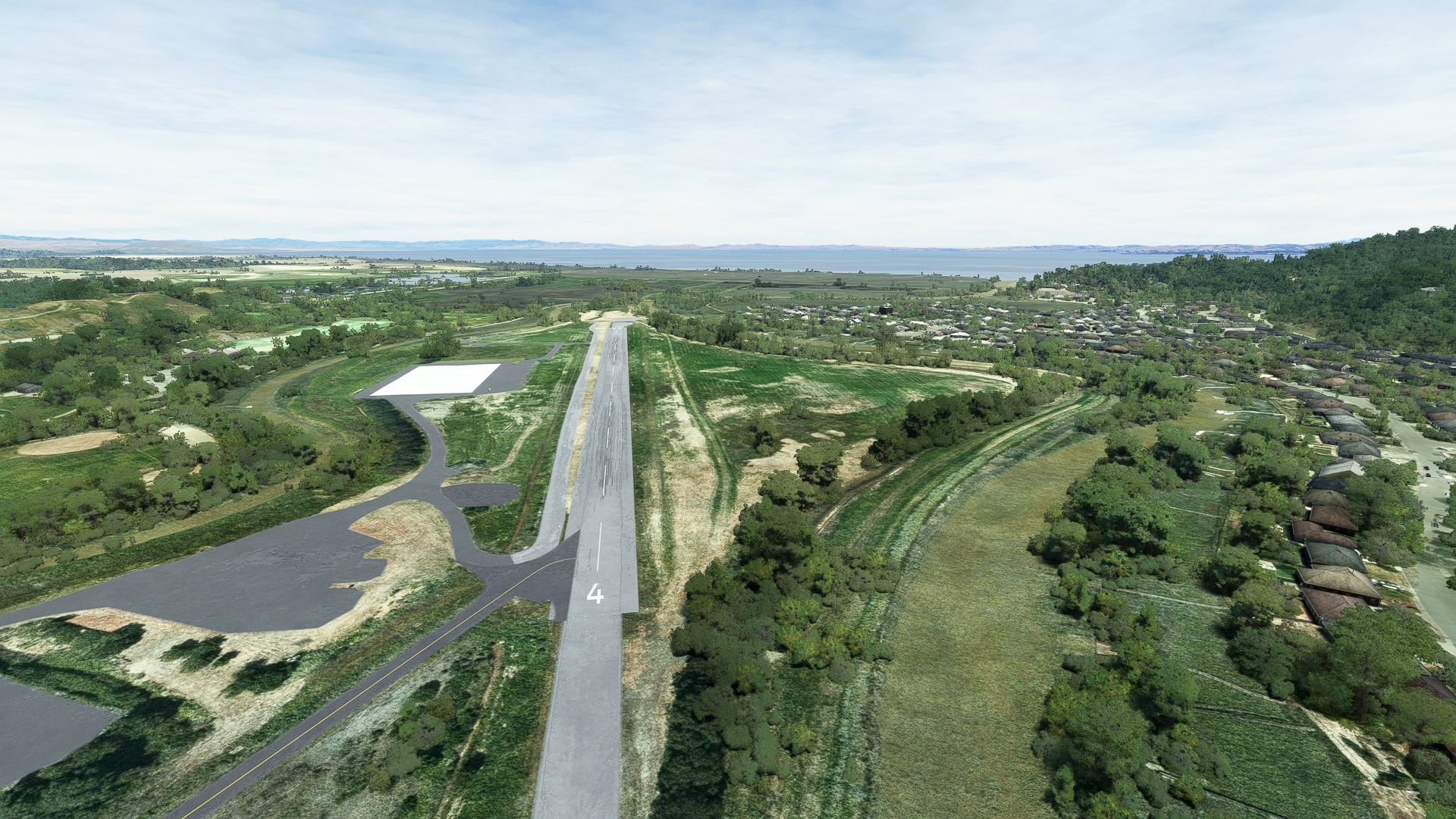
From the Marin Headlands, follow Route 101 to San Rafael Airport, just north of the city of San Rafael.
Leg 13
San Rafael to The Sea Ranch
Leg Distance: 81.55 Approximate time at 125kts: 39 minutes.
San Rafael(CA35) to Bolinas Bay(POI73)
Distance: 11.32NM Bearing: 208° 5 minutes
After launching from San Rafael Airport, head to the southwest, passing just to the north of Mount Tamalpais, and directly over Alpine Lake, to reach the Pacific coast at Bolinas Bay.
Bolinas Bay(POI73) to Point Reyes Lighthouse(POI74)
Distance: 17.9NM Bearing: 281° 9 minutes
Sight Point Reyes to the northwest, and fly just off the coast to Point Reyes Lighthouse, one of the most important navigation aids on this part of the Pacific coast as this is the windiest and foggiest section.
Point Reyes Lighthouse(POI74) to Tomales Bay(POI75)
Distance: 11.99NM Bearing: 12° 6 minutes
Set a heading to the northeast and fly over the crashing surf of the coastline to reach the long, narrow Tomales Bay, which was formed by the action of the San Andreas Fault, which underlies the bay.
Tomales Bay(POI75) to Bodega Bay(POI76)
Distance: 8.75NM Bearing: 310° 4 minutes
Follow Tomales Bay to Bodega Bay.
Bodega Bay(POI76) to Bodega Head(POI77)
Distance: 2.22NM Bearing: 280° 1 minutes
Bodega Head lies at the northern end of Bodega Bay.
Bodega Head(POI77) to Fort Ross(POI78)
Distance: 14.78NM Bearing: 313° 7 minutes
Follow the coast to Fort Ross, a former Russian settlement.
Fort Ross(POI78) to Kruse Rhodadendron State Natural Reserve(POI79)
Distance: 6.47NM Bearing: 305° 3 minutes
Continue following the rugged coast to Kruse Rhododendron State Natural Reserve.
Kruse Rhodadendron State Natural Reserve(POI79) to The Sea Ranch(CA51)
Distance: 8.12NM Bearing: 313° 4 minutes
The coastline continues to get more rugged along this stretch, which lies in Sonoma County. Enjoy the breathtaking, dreamy views, and set down at The Sea Ranch Airport, just inland of the village of The Sea Ranch.
