The Canadian Rockies, which straddle the Alberta-British Columbia border, are renowned as one of the world’s most distinctive and striking mountain chains. Part of the greater North American Cordillera, a system of ranges that spans from Mexico to Alaska, the mountains of the Canadian Rockies feature numerous glaciers, sheer cliff faces, high mountain lakes, and peaks that rise to 12,972 feet above sea level. These mountains attract alpinists, photographers, trekkers, and mountain lovers from throughout the globe to bask in their natural magnificence. Venturing to the Canadian Rockies is a humbling experience, whether scaling their heights, hiking beneath any of the range’s looming massifs—or flying amid their airy summits.
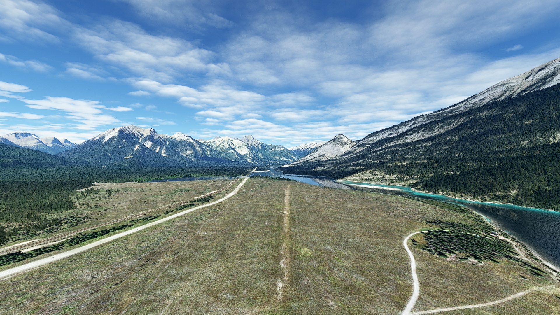
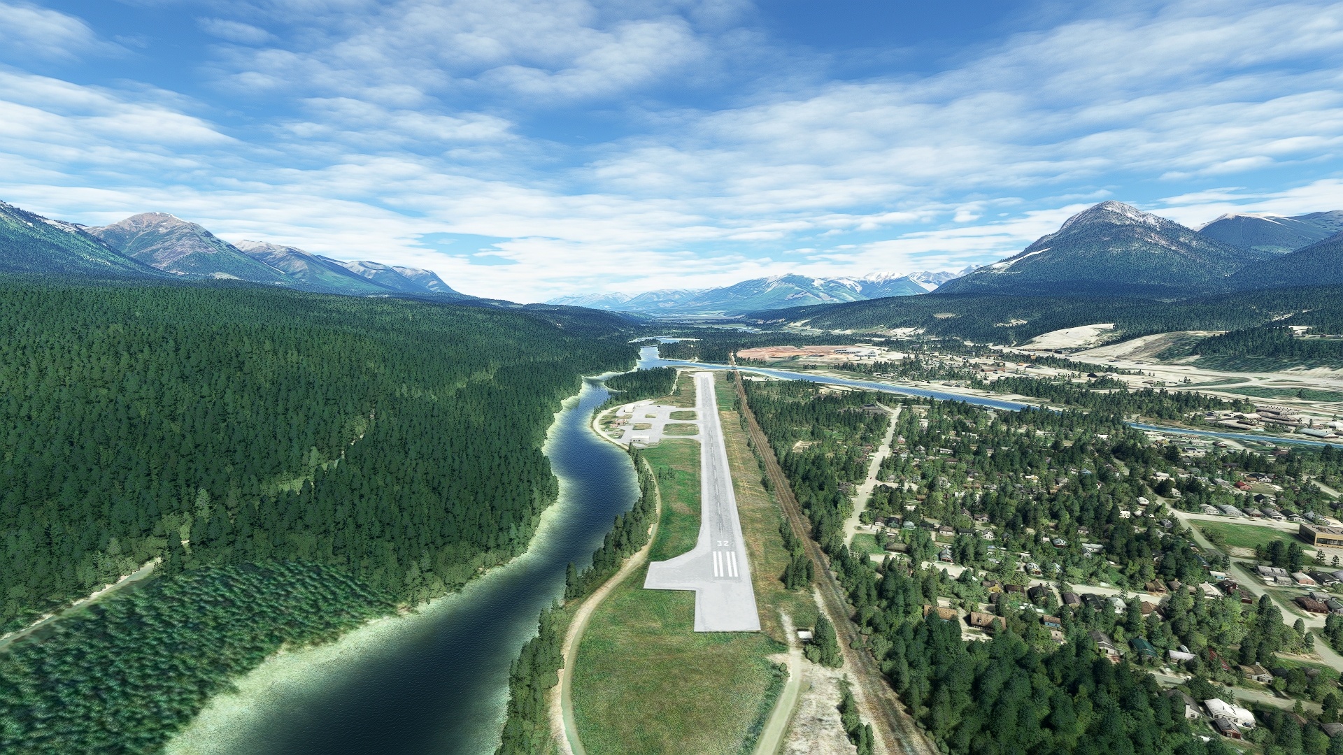
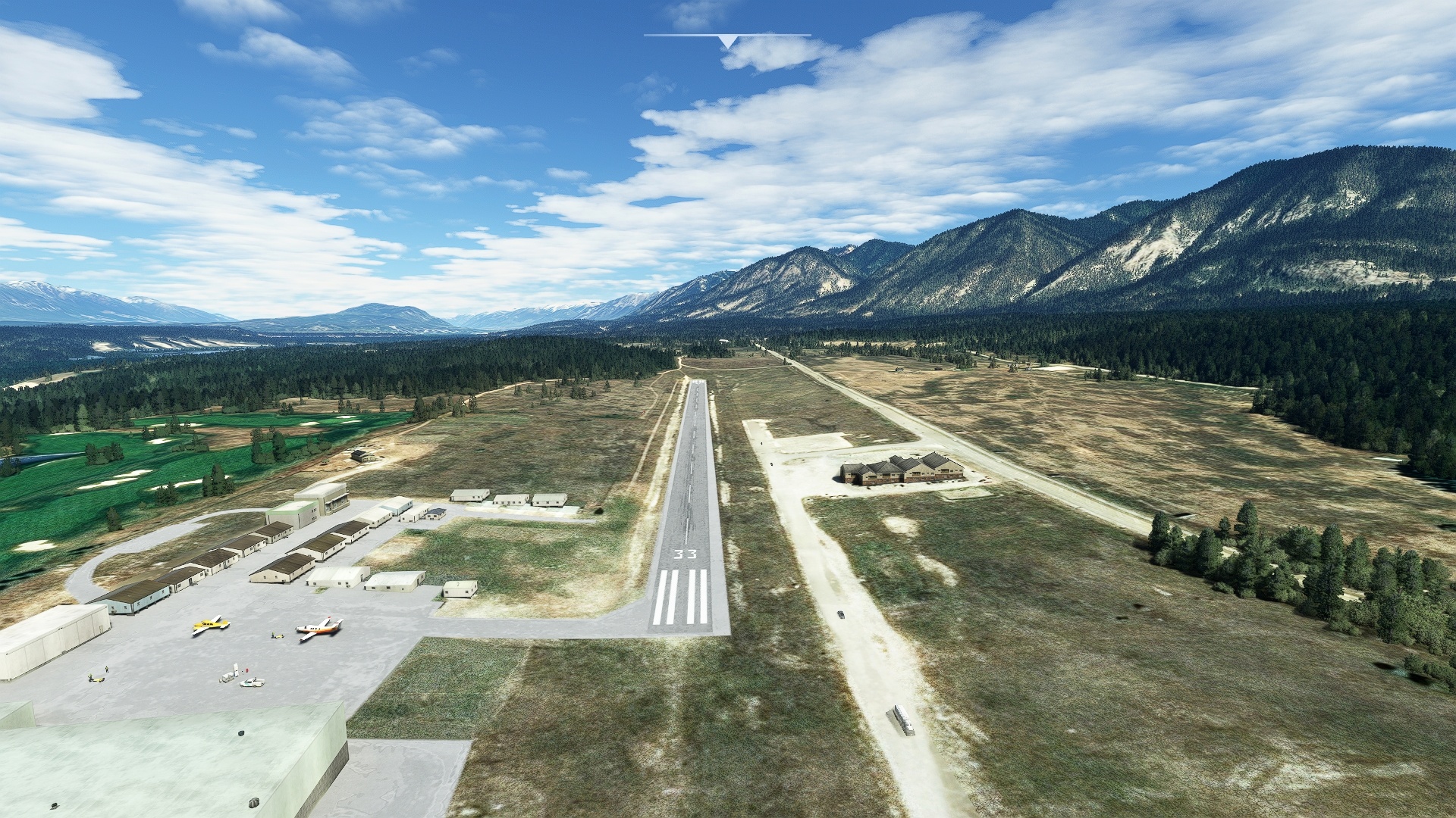
This bush trip explores the heart of the Canadian Rockies, including those of Jasper National Park, Glacier National Park, and the chain’s crown, Mount Robson. Beginning at British Columbia’s Tumbler Ridge Airport, which lies amid rolling forest to the east of the crest of the range, the journey heads into the heart of this alpine wonderland. The route continues south along the spine of the range, soaring amid knife-edge ridges, flying past hanging glaciers, and exploring some of Canada’s most rarified ground before coming to an end at Cranbrook/Canadian Rockies International Airport.
Assistance on the trip will be available in the form of a ‘Back on Track’ button on the VFR Map — however, be advised that using this will disable achievements tied to the activity.
Total Legs: 5 Total Distance: 500 Total Time(125kts): 4 hours 0 minutes
Leg 1
Tumbler Ridge to Sherman Meadows
Leg Distance: 100.96 Approximate time at 125kts: 48 minutes.
Tumbler Ridge(CBX7) to Murray River(POI1)
Distance: 14.17NM Bearing: 215° 7 minutes
From Tumbler Ridge Airport, fly to the southwest, passing over the Shikano Pit of the Quintette Coal Mine. Visually pick up the Murray River at the mine and follow it to where it makes a turn to the south.
Murray River(POI1) to Monkman Lake(POI2)
Distance: 16.62NM Bearing: 156° 8 minutes
Follow the general course of the Murray River to the south to Monkman Lake.
Monkman Lake(POI2) to Mount Vreeland(POI3)
Distance: 8.71NM Bearing: 238° 4 minutes
From Monkman Lake, sight Mount Vreeland and the Parsnip Glacier to its south. Set a course for the 8,084-foot-high peak, flying above forest, treeline, and then the Parsnip Glacier, and gain altitude. Mount Vreeland is at the northern extent of the high, glaciated portion of the Canadian Rockies, in the Miscinchinka Ranges of the Hart Ranges.
Mount Vreeland(POI3) to Ice Mountain(POI4)
Distance: 14.02NM Bearing: 117° 7 minutes
Turn to the southeast, flying over Monkman Provincial Park, and pass just to the east of Mount Barton at the southern edge of the Parsnip Glacier. Sight Ice Mountain in the distance. The peak rises above an unnamed glacier to7,635 feet above sea level. This is one of the most remote, least visited portions of the Canadian Rockies.
Ice Mountain(POI4) to Mount Knudsen(POI5)
Distance: 15.64NM Bearing: 102° 8 minutes
Continue on a southeast heading, passing over two rivers, and sight Mount Knudsen, 7,874 feet above sea level. Knudsen Lake, a good visual reference, lies just to the northwest of Mount Knudsen.
Mount Knudsen(POI5) to Narraway River(POI6)
Distance: 17.59NM Bearing: 76° 8 minutes
Turn to the east, and fly just north of Paksumo Mountain, directly over a horseshoe-shaped lake. Maintain course, begin to slowly lose altitude, and pass just to the north of Intanis Mountain, flying over a series of small lakes, and then sight the Narraway River at its confluence with Hanington Creek.
Narraway River(POI6) to Sherman Meadows(CFK7)
Distance: 14.21NM Bearing: 70° 7 minutes
Sight Mount Torrens (7,283 feet) in the distance, and fly just to its south, passing from British Columbia into Alberta. In the distance gain a visual on Torrens River. Just to the east of Torrens River lies Sherman Meadows Airport.

Leg 2
Sherman Meadows to Mcbride
Leg Distance: 69.55 Approximate time at 125kts: 33 minutes.
Sherman Meadows(CFK7) to Mount Gorman(POI7)
Distance: 8.51NM Bearing: 204° 4 minutes
Lift into the sky and sight Mount Gorman, 7,808 feet above sea level, to the southwest. The mountain lies directly on the border of Alberta and British Columbia.
Mount Gorman(POI7) to Jarvis Lakes(POI8)
Distance: 8.6NM Bearing: 217° 4 minutes
From Mount Gorman, gain a visual on Jarvis Lakes to the southwest, and gain altitude. The lakes form a clearly visible east-west line and lie just to the north of Mount Jarvis, a prominent peak.
Jarvis Lakes(POI8) to Mount Sir Alexander(POI9)
Distance: 11.57NM Bearing: 199° 6 minutes
From Jarvis Lakes, look to the southwest at the crest of this part of the Canadian Rockies. Mount Sir Alexander, surrounded by glaciers, is the highest point at 10,745 feet above sea level and is the northernmost mountain in the Canadian Rockies that stands taller than 10,500 feet above sea level. Carefully increasing altitude, fly past a number of peaks until reaching the dramatic glacial ice and the peak itself.
Mount Sir Alexander(POI9) to Knox Peak(POI10)
Distance: 17.69NM Bearing: 152° 8 minutes
From Mount Sir Alexander, turn to the south and gain a visual on Forgetmenot Mountain. Fly just to the east of Forgetmenot Mountain and sight Knox Peak, 7,667 feet.
Knox Peak(POI10) to Fraser River(POI11)
Distance: 15.16NM Bearing: 172° 7 minutes
To the south-southwest of Knox Peak, sight Ghostal Peak (7,526 feet). Pass just to the east of Ghostal Peak and sight the Fraser River in the distance where it meets the McKale River. The Fraser River is the longest river in British Columbia and empties into the Strait of Georgia adjacent to the city of Vancouver.
Fraser River(POI11) to Mcbride(CAV4)
Distance: 8.02NM Bearing: 112° 4 minutes
Follow the Fraser River to the southeast to the town of McBride and land at McBride Airport.

Leg 3
Mcbride to Jasper
Leg Distance: 84.44 Approximate time at 125kts: 41 minutes.
Mcbride(CAV4) to Reel Peak(POI12)
Distance: 16.1NM Bearing: 79° 8 minutes
Lift off from McBride Airport and head to the east, sighting a line of prominent peaks just below the crest of the Canadian Rockies. Pass by the first of these mountains, Gaelic Peak (8,809 feet) and then continue on course to Reel Peak, 9,410 feet above sea level. Reel Peak rises just to the north of a small, unnamed glacier.
Reel Peak(POI12) to Mount Longstaff(POI13)
Distance: 15.03NM Bearing: 99° 7 minutes
From Reel Peak, turn to the southeast and sight Mount Longstaff, 10,433 feet above sea level, in the distance. Gain altitude and pass over the summit of Mount Longstaff, entering the boundary of Mount Robson Provincial Park.
Mount Longstaff(POI13) to Berg Lake(POI14)
Distance: 7.15NM Bearing: 92° 3 minutes
Sight Mount Robson in the distance, the highest mountain in the Canadian Rockies at 12,972 feet above sea level. Mount Robson is one of the most impressive peaks in the world due to its sheer cliffs and knife-edge ridges. One of the most dramatic aspects of Mount Robson is its near-vertical north face, called the Emperor Face, which towers above Berg Lake. Sighting Robson and Berg Lake, climb to at least 13,500 feet above sea level, and pass over the north side of Berg Lake.
Berg Lake(POI14) to Mount Robson(POI15)
Distance: 2.22NM Bearing: 163° 1 minutes
From Berg Lake, turn due south, and pass over the summit of Mount Robson, the highest mountain in the Canadian Rockies at 12,972 feet above sea level.
Mount Robson(POI15) to Moose Lake(POI16)
Distance: 13.22NM Bearing: 121° 6 minutes
Over the summit of Mount Robson, gain a visual to the southeast of Moose Lake, the only lake along the course of the Fraser River.
Moose Lake(POI16) to Monarch Mountain(POI17)
Distance: 16.97NM Bearing: 64° 8 minutes
From Moose Lake, turn to the east-northeast and fly just to the north of Mount George Graham (8,448 feet above sea level), then pass just to the south of Razorback Mountain (8,547 feet), which lies directly on the British Columbia – Alberta Border. Continue on course to the next prominent peak, Monarch Mountain, which stands 9,111 feet above sea level. A good visual for Monarch Mountain is a small glacier just to the north of its summit.
Monarch Mountain(POI17) to Jasper(CYJA)
Distance: 13.75NM Bearing: 75° 7 minutes
From Monarch Mountain, head due east. The nearest significant mountain in the forward distance is Consort Mountain, 9,459 feet above sea level. Pass just to the south of Consort Mountain and then pass just to the north of Buttress Mountain, 8,809 feet above sea level. Ahead, sight the Athabasca River, the Yellowhead Highway, and Becca Slough. Land at Jasper Airport, which lies just south of Becca Slough between the Yellowhead Highway and the Athabasca River.

Leg 4
Jasper to Golden
Leg Distance: 126.72 Approximate time at 125kts: 61 minutes.
Jasper(CYJA) to Jasper(POI18)
Distance: 7.31NM Bearing: 171° 4 minutes
After lifting off, follow the Athabasca River south to the town of Jasper.
Jasper(POI18) to Fortalice Mountain(POI19)
Distance: 7.27NM Bearing: 209° 3 minutes
From Jasper, turn to the southwest and sight Fortalice Mountain, 9,301 feet above sea level. A good visual cue is the small glacier on the northeast quadrant of its summit block. Gain altitude, reaching at least 10,000 feet above sea level, and fly over the summit of Fortalice Mountain.
Fortalice Mountain(POI19) to Amethyst Lakes(POI20)
Distance: 5.43NM Bearing: 187° 3 minutes
Sight the Amethyst Lakes in the southwestern distance, the largest lakes in the area. Fly past the high peaks just to the south of Fortalice Mountain and then pass over the northern end of Amethyst Lakes.
Amethyst Lakes(POI20) to Simon Peak(POI21)
Distance: 3.31NM Bearing: 191° 2 minutes
Maintain course once over Amethyst Lakes and continue to gain altitude, reaching at least 11,300 feet above sea level. Ahead lies the crest of the central portion of the Canadian Rockies. The highest peak in the immediate distance is Simon Peak, elevation 10,899 feet above sea level. Simon Peak lies directly on the British Columbia – Alberta border. Fly over the summit of Simon Peak.
Simon Peak(POI21) to Fortress Lake(POI22)
Distance: 25.54NM Bearing: 117° 12 minutes
From Simon Peak, turn to the southeast and sight a line of peaks running to the southeast. Pass just to their southwest, on a southeast heading. Continue on course, flying above the crest of the range, and sight Fortress Lake in the distance. Fortress Lake is a long, narrow lake that trends roughly east-west.
Fortress Lake(POI22) to Dais Mountain(POI23)
Distance: 8.19NM Bearing: 118° 4 minutes
Sight Dais Mountain, at 10,827 feet above sea level, the highest mountain in the immediate distance. Fly over its glaciated summit.
Dais Mountain(POI23) to Mount Columbia(POI24)
Distance: 10.7NM Bearing: 121° 5 minutes
Maintain a southeast heading, climb to at least 12,800 feet above sea level, and sight Mount Columbia in the distance. At 12,293 feet, the heavily glaciated peak is the highest mountain in Alberta, and the second highest in the Canadian Rockies next to Mount Robson. Pass over its summit and view the incredible sweeps of ice of the Columbia Icefield.
Mount Columbia(POI24) to Columbia Icefield(POI25)
Distance: 5.57NM Bearing: 91° 3 minutes
Sight Castleguard Mountain in the distance, rising from the Columbia Icefield, the largest ice field in the Canadian Rockies. Use Castleguard Mountain as a reference, flying into the heart of the ice field toward the peak.
Columbia Icefield(POI25) to Bush Arm(POI26)
Distance: 18.79NM Bearing: 172° 9 minutes
Sight the Bush Arm of Kinbasket Lake to the south-southwest. Kinbasket Lake is a large reservoir formed on the Columbia River by the Mica Dam. Bush Arm is the easternmost aspect of the expansive body of water.
Bush Arm(POI26) to Robinson Peaks(POI27)
Distance: 13.21NM Bearing: 124° 6 minutes
Sight the Robinson Peaks (9,646 feet) to the southeast. Flying over the Robinson Peaks gives a great western view of the crest of the Canadian Rockies to the east and the glaciers surrounding them.
Robinson Peaks(POI27) to Golden(CYGE)
Distance: 21.4NM Bearing: 151° 10 minutes
Sight the Columbia River to the south-southeast and merge with its path to reach Golden Airport.

Leg 5
Golden to Invermere
Leg Distance: 118.02 Approximate time at 125kts: 57 minutes.
Golden(CYGE) to Hanbury Glacier(POI28)
Distance: 17.7NM Bearing: 83° 8 minutes
After lifting off from Golden Airport, follow the Trans-Canada Highway while gaining altitude. Sight a group of high, glaciated peaks in the distance, including Mount Vaux, 10,889 feet above sea level. Fly toward Mount Vaux, then over the Hanbury Glacier, which lies at its base.
Hanbury Glacier(POI28) to Washmawapta Icefield(POI29)
Distance: 9.8NM Bearing: 107° 5 minutes
From Hanbury Glacier, sight a line of peaks and glaciers to the southeast. Fly along these mountains and gain a visual on Washmawapta Icefield, which lies on the western side of a high ridge of peaks.
Washmawapta Icefield(POI29) to Beatrice Peak(POI30)
Distance: 10.1NM Bearing: 78° 5 minutes
From Washmawapta Icefield, continue to the east and sight Beatrice Peak, 10,253 feet above sea level, which lies amid a group of glaciated mountains along the British Columbia – Alberta border. Just to the east of Beatrice Peak lies Shadow Lake, a large lake that is a good visual reference.
Beatrice Peak(POI30) to CYBA(CYBA)
Distance: 18.44NM Bearing: 67° 9 minutes
Fly just to the north of Shadow Lake and gain a visual on the Bow River, the town of Banff, and Lake Minnewanka beyond. Banff Airport lies just to the northeast of Banff, and to the southwest of Lake Minnewanka.
CYBA(CYBA) to Canmore(POI31)
Distance: 10.42NM Bearing: 119° 5 minutes
Once back in the sky, follow the Bow River to the southeast to the town of Canmore.
Canmore(POI31) to Spray Lakes Reservoir(POI32)
Distance: 10.61NM Bearing: 166° 5 minutes
From Canmore, turn to the south and gain a visual on the crescent-shaped Spray Lakes Reservoir.
Spray Lakes Reservoir(POI32) to Lunette Peak(POI33)
Distance: 12.08NM Bearing: 244° 6 minutes
Gain a visual to the west-southwest of Marvel Lake, a long, narrow, straight lake. Just beyond Marvel Lake lies a series of glaciers and a ridge of high peaks, the highest being Lunette Peak, 11,148 feet above sea level. Climb to at least 11,700 feet and pass over the summit of Lunette Peak.
Lunette Peak(POI33) to Radium Hot Springs(POI34)
Distance: 21.9NM Bearing: 214° 11 minutes
Sight the Columbia River and the town of Radium Hot Springs in the distance to the southwest. The small town is named for the world-renowned hot springs located nearby.
Radium Hot Springs(POI34) to Invermere(CAA8)
Distance: 6.97NM Bearing: 141° 3 minutes
Follow the Columbia River to Invermere Airport and land, bringing this flight over the Canadian Rockies to a close.

