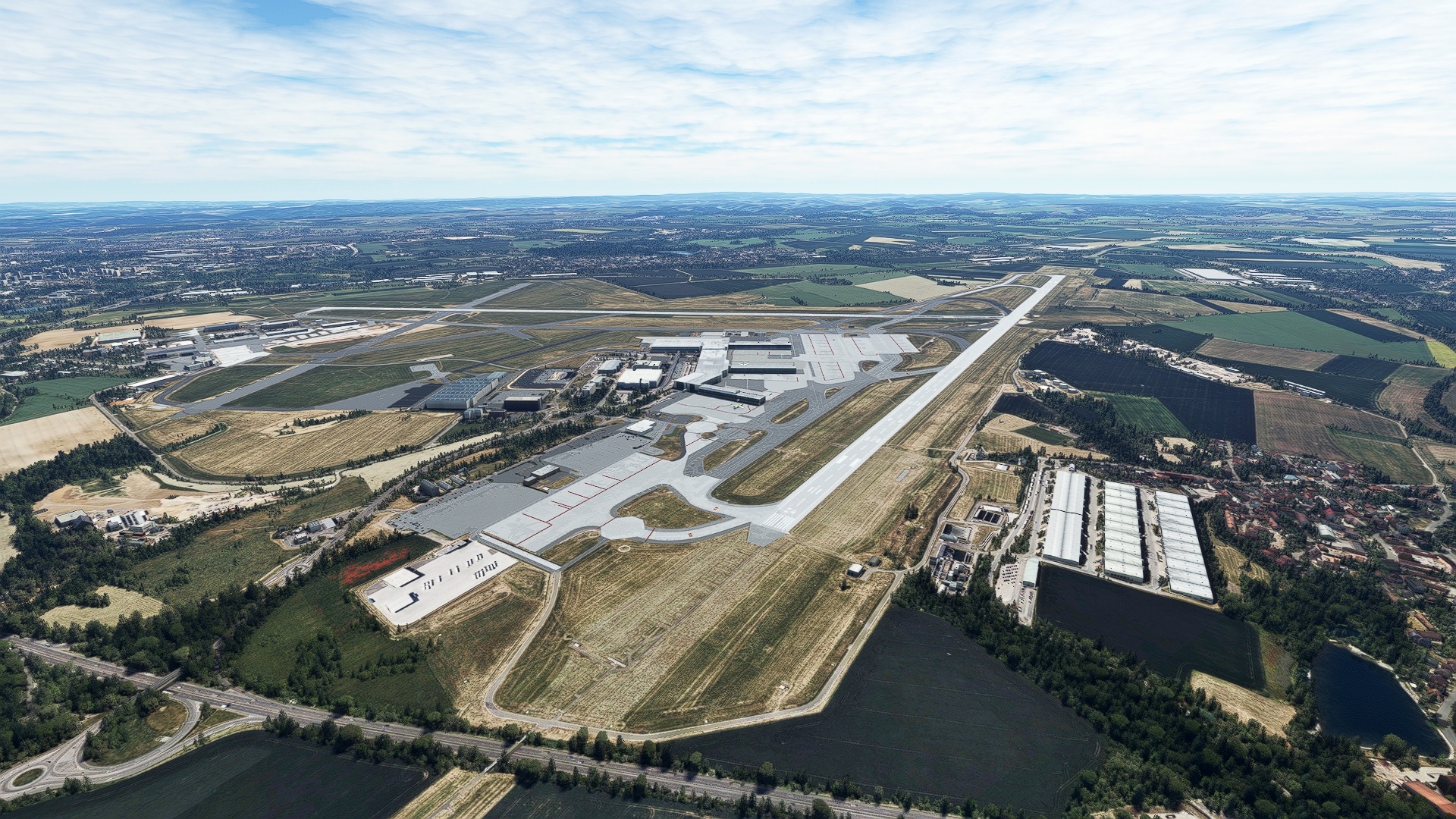
Czechia, formally the Czech Republic, is renowned throughout the world for its history and natural and architectural wonders. Centuries of development, internal upheaval, and war have forged Czechia into the unique mosaic of lore and beauty that today makes it so inviting for people from throughout the globe.
Surrounded by Germany on its west, Poland on its northeast, Slovakia on its southeast, and Austria on its south, Czechia is a landlocked nation whose regions have been a historic crossroads of Europe for centuries. These lands include the historic regions of Bohemia, Moravia, and Czech Silesia, traditions of all of which endure strongly in today’s Czechia. Bohemia is perhaps the most well-known of the historic lands that modern Czechia comprises. Named after the Celtic Boii tribe, Bohemia occupies the western portion of the nation and includes Czechia’s capital, Prague. Moravia composes most of the eastern portion of modern-day Czechia, and Czech Silesia forms a sliver on the nation’s northeast. These lands today reflect many centuries of cultures including the Romans, the Germans, the Slavs, and the Italians, among others.
Modern Czechia, a unique blend of these influences, emerged in 1993 with the peaceful division of Czechoslovakia into the Czech Republic and the Slovak Republic (Slovakia). This followed nearly a century of turmoil that saw the region breaking from Austria-Hungary after World War I, the annexation of much of these lands by Germany in World War II, and the iron grip of the Soviet Union during the Cold War.
This bush trip brings vistas of much of the entire country into the cockpit for aviators. Beginning in the southeast, the journey progresses in a counterclockwise direction and explores many of the great wonders of Czechia before ending at its capital, Prague.
Total Legs: 10 Total Distance: 525 Total Time(125kts): 4 hours 12 minutes
Leg 1
Turany to Mosnov
Leg Distance: 67.77 Approximate time at 125kts: 33 minutes.
Turany(LKTB) to Bucovice(POI1)
Distance: 11.98NM Bearing: 85° 6 minutes
After lifting off from Brno–Tuřany Airport, set a course to the east and fly over the town of Slavkov u Brna and then follow European route E50 to the town of Bučovice. Bučovice is part of the South Moravian Region of the country.
Bucovice(POI1) to Kromeriz(POI2)
Distance: 17.83NM Bearing: 54° 9 minutes
Turn onto a northeast heading and pass over a line of low mountains. These peaks are the northwesternmost portion of the Carpathian Mountains, the third longest chain of peaks in Europe. Continue on course and gain a visual on the Morava River in the distance. The city of Kroměříž lies on the banks of the Morava near the intersection of motorways D1 and D55. The city is well-known for the gothic-style Kroměříž Castle, today recognized by the United Nations as a World Heritage Site.
Kromeriz(POI2) to Holesov(POI3)
Distance: 7.37NM Bearing: 69° 4 minutes
Maintain heading over Kroměříž and then pass over the Morava River, the primary river of the Moravia classical region of Czechia. Pass to the north of two large wetlands and then sight the town of Holešov.
Holesov(POI3) to Kelc(KELC)
Distance: 12.97NM Bearing: 41° 6 minutes
Adjust course slightly to the north and pass along the northwestern foot of the Outer Western Carpathians. Pass over the historic town of Kelč, which lies at the intersection of motorway 439 and a number of smaller roads. For a visual reference, Kelč airstrip lies two miles south of the town.
Kelc(KELC) to Maly chorynsky rybnik(POI4)
Distance: 4.38NM Bearing: 50° 2 minutes
Maintain heading and sight and then fly over the Bečva River, a tributary to the Morava. Continue on heading to Malý choryňský Rybnik, a small pond directly to the northeast of motorway 35.
Maly chorynsky rybnik(POI4) to Novy Jicin(POI5)
Distance: 6.01NM Bearing: 35° 3 minutes
Adjust course slightly to the north and fly along the base of another small line of peaks of the Outer Western Carpathians. Gain a visual on Nový Jičín, which lies at the intersection of motorway D48 and motorway 57. Nový Jičín is known for its hat making industry and has the nickname “hat town.”
Novy Jicin(POI5) to Mosnov(LKMT)
Distance: 7.23NM Bearing: 27° 3 minutes
Maintain heading and gain a visual on Leoš Janáček Airport, which is located just to the south of a line of small lakes. Land at the airport to bring this leg of the journey to a close.
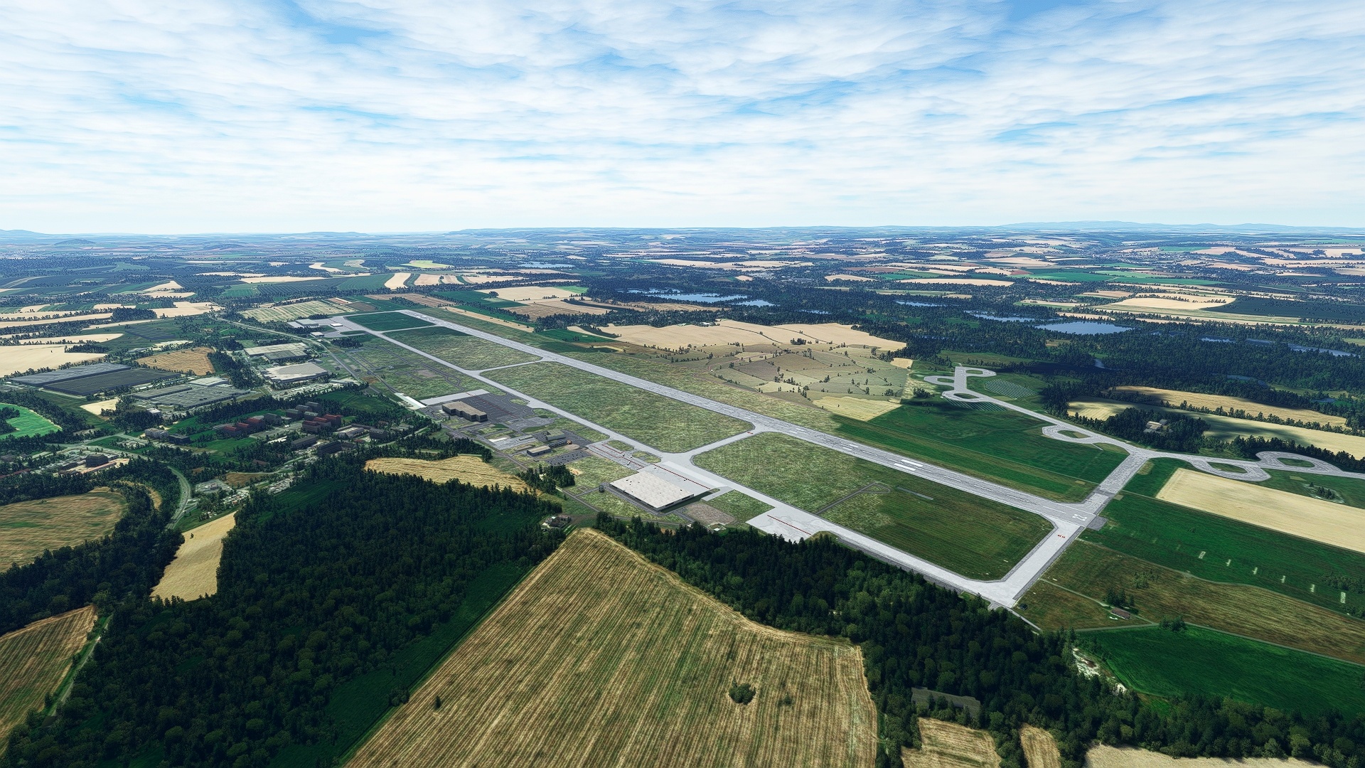
Leg 2
Mosnov to Sumperk
Leg Distance: 47.42 Approximate time at 125kts: 23 minutes.
Mosnov(LKMT) to Vitkov(POI6)
Distance: 14.73NM Bearing: 283° 7 minutes
After lifting off from Leoš Janáček Airport, set a heading to the northwest. Gain a visual on the meandering Moravice River. With that visual reference, locate the town of Vítkov to the river’s south. The town lies at the intersection of a rail line and a number of small roads.
Vitkov(POI6) to Dvorce(POI7)
Distance: 8.66NM Bearing: 289° 4 minutes
Maintain heading and follow the course of the rail line, then sight a reservoir along the course of the Moravice River. The town of Dvorce is located to the west of the reservoir. This part of Czechia lies in what is the traditional Moravia region, near the border with Czech Silesia.
Dvorce(POI7) to Moravsky Beroun(POI8)
Distance: 4.72NM Bearing: 235° 2 minutes
At Dvorce, turn to the southwest and follow motorway 46 to the town of Moravský Beroun, which lies along the Důlní potok, a small stream that helped engender light industrial development in this town.
Moravsky Beroun(POI8) to Oskava(POI9)
Distance: 13.42NM Bearing: 291° 6 minutes
Turn onto a northwest course and fly along a series of low hills above a broad valley to the southwest of the hills. Gain a visual on two ponds on the valley floor. The small town of Oskava lies to the north-northeast of the smaller of the two ponds.
Oskava(POI9) to Sumperk(LKSU)
Distance: 5.89NM Bearing: 306° 3 minutes
Adjust course slightly to the north over Oskava and gain a visual on the town of Šumperk. Land at Šumperk Airport, which is located just to the southwest of a small pond, east of town.

Leg 3
Sumperk to Hradec Kralove
Leg Distance: 49.45 Approximate time at 125kts: 24 minutes.
Sumperk(LKSU) to Olsanyv(POI10)
Distance: 6.15NM Bearing: 266° 3 minutes
After taking off from Šumperk Airport, set a course to the west and fly over the town of Šumperk and gain a visual on Olšany.
Olsanyv(POI10) to Letohrad(POI11)
Distance: 14.54NM Bearing: 282° 7 minutes
Adjust course slightly to the north over Olšany. Gain a visual of Jablonné nad Orlicí in the distance, a town that lies at the intersection of a rail line and motorway 11. Pass to the south of Jablonné nad Orlicí and sight Letohrad, which lies to the west of Jablonné nad Orlicí at the intersection of two rail lines and a number of roads. Letohrad lies on the banks of Orlice River, a tributary to the Elbe River, one of Central Europe’s major rivers.
Letohrad(POI11) to Vamberk(POI12)
Distance: 9.42NM Bearing: 296° 5 minutes
Adjust heading slightly to the north and gain a visual on Vamberk. Vamberk is located where motorways 11 and 14 meet. The town lies in the Orlické (Eagle) foothills and is known for its hiking and mountain views.
Vamberk(POI12) to Tyniste nad Orlici(POI13)
Distance: 8.62NM Bearing: 277° 4 minutes
Adjust heading slightly to the south at Vanberk and follow the corridor of motorway 11. Gain a visual on Týniště nad Orlicí, a small city on the banks of the Orlice River.
Tyniste nad Orlici(POI13) to Hradec Kralove(LKHK)
Distance: 10.72NM Bearing: 300° 5 minutes
Adjust course into a northwest heading and parallel motorway 11. Gain a visual on the city of Hradec Králové, which is part of the historic Czechia region of Bohemia. Sight Hradec Králové Airport to the north of the city and land.
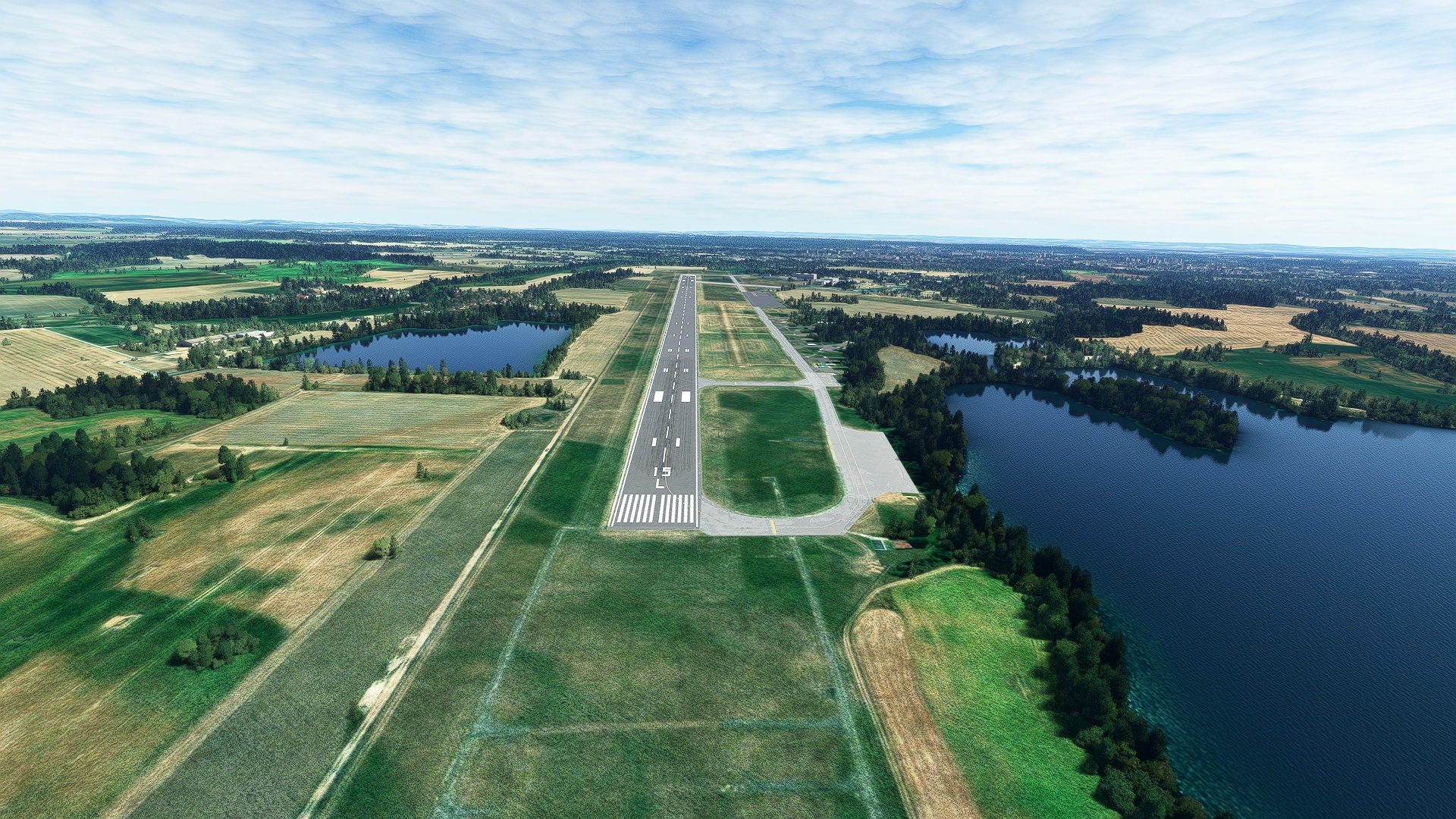
Leg 4
Hradec Kralove to Mnichovo Hradiste
Leg Distance: 47.27 Approximate time at 125kts: 23 minutes.
Hradec Kralove(LKHK) to Novy Bydzov(POI14)
Distance: 13.6NM Bearing: 262° 7 minutes
Lift off from Hradec Králové Airport and set a course to the west. Fly over the Elbe River, the source of which lies to the northeast, in the Giant Mountains of Czechia and Poland, on the Czech side. Sight the town of Nový Bydžov in the distance, which lies at the intersection of a number of roads and along a north-south rail line. The Cidlina River runs just to the east of the city.
This portion of the flight traverses the northern portion of the historic region of Bohemia. The region is characterized by rolling, forested hills, many of which are protected areas. Culturally, many of the towns and cities were influenced by Germans through the centuries. The far north of the region was once called “Sudetenland,” named after the Sudeten Mountains, a range that spans Germany, Poland, and Czechia.
Novy Bydzov(POI14) to Detenice(POI15)
Distance: 14.49NM Bearing: 296° 7 minutes
Change course at Nový Bydžov to the northwest. Fly over the pastoral landscape characterized by agriculture fields amid stands of forest. Gain a visual on the Mrlina River, a tributary of the Elbe River. Sight and pass over the town of Kopidlno, which lies on the banks of the Mrlina River. Continue on course to the small town of Dětenice, located in the outskirts of the central portion of Czechia’s historic region of Bohemia.
Detenice(POI15) to Mlada Boleslav(POI16)
Distance: 10.48NM Bearing: 280° 5 minutes
Adjust course slightly to the south and gain a visual on the city of Mladá Boleslav. Mladá Boleslav lies along the Jizera River at the Jičín Uplands of the country.
Mlada Boleslav(POI16) to Mnichovo Hradiste(LKMH)
Distance: 8.7NM Bearing: 22° 4 minutes
Turn to the north-northeast and follow motorway D10 to Mnichovo Hradiste Airport and land.
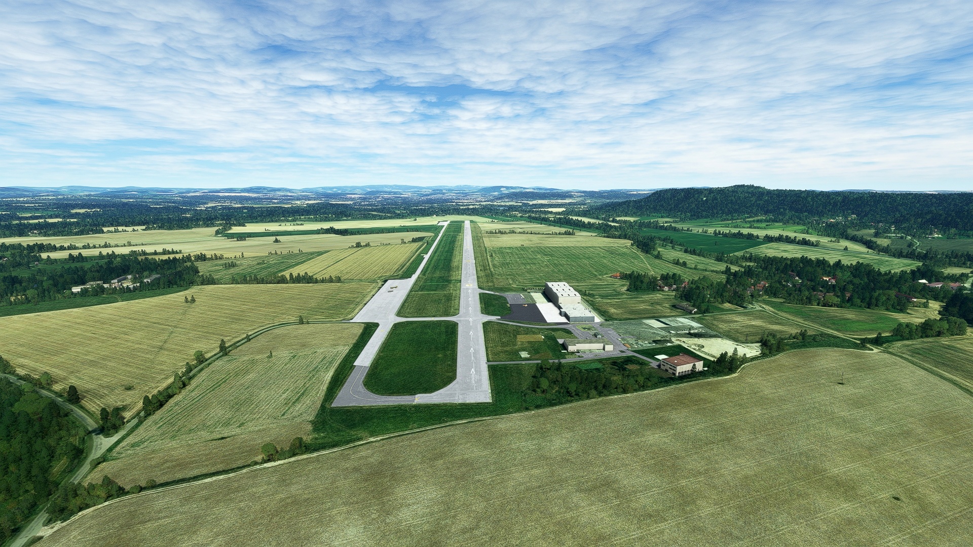
Leg 5
Mnichovo Hradiste to Teplice
Leg Distance: 47.83 Approximate time at 125kts: 23 minutes.
Mnichovo Hradiste(LKMH) to Lake Macha(POI17)
Distance: 13.79NM Bearing: 276° 7 minutes
Lift off from Mnichovo Hradiste Airport and set a course to the west-northwest. Fly over lush forests and gain a visual on Lake Mácha.
Lake Macha(POI17) to Libesice(POI18)
Distance: 13.83NM Bearing: 261° 7 minutes
Turn to the west, passing over the foothills of the Ore Mountains, the bulk of which lie along the Czechia-German border region. Gain a visual on Lake Chmelař in the distance, which lies just to the north of the town of Úštěk. The town of Liběšice is located just to the southwest of Úštěk.
Libesice(POI18) to Litomerice(POI19)
Distance: 6.49NM Bearing: 246° 3 minutes
Adjust course onto a southwest heading and gain a visual on the town of Litoměřice, which lies at the confluence of the Elbe and the Ohře Rivers. Litoměřice is located in the Central Bohemian Uplands, characterized by distinct, conical mountains that are volcanic in origin.
Litomerice(POI19) to Elbe River(POI20)
Distance: 3.85NM Bearing: 288° 2 minutes
Turn onto a northwest course once over Litoměřice and pass over the Elbe River. At 691 miles in length, the Elbe is one of Central Europe’s major rivers. Its source is Czechia’s Elbe Meadow in the Giant Mountains, a range that straddles the Czech-Polish border. It passes through northern Czechia and then traverses Germany and empties into the North Sea.
Elbe River(POI20) to Bystrany(POI21)
Distance: 7.84NM Bearing: 297° 4 minutes
Maintain course and gain a visual on two large holding ponds on the Bilina River in the distance. Pass over the river and the holding ponds to reach the small village of Bystrany.
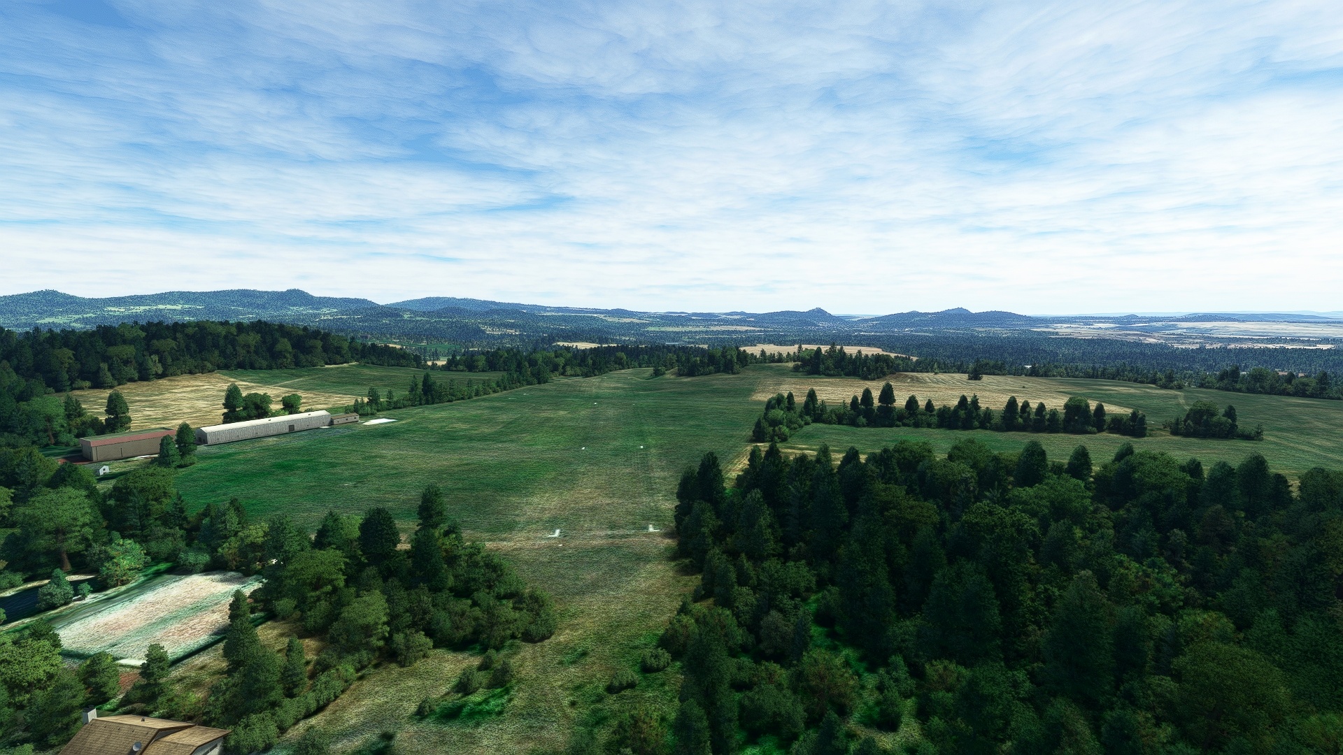
Bystrany(POI21) to Teplice(LKTE)
Distance: 2.03NM Bearing: 253° 1 minutes
Turn onto a west-southwest course, pass over motorway 13, and land at Teplice Airfield.
Leg 6
Teplice to Karlovy Vary
Leg Distance: 47.55 Approximate time at 125kts: 23 minutes.
Teplice(LKTE) to Lake Most(POI22)
Distance: 7.98NM Bearing: 227° 4 minutes
Lift off from Teplice Airfield and set a course to the southwest. Pass over a large coal mine and sight Lake Most. Lake Most was created by flooding a large lignite coal mine that had been abandoned.
Lake Most(POI22) to Chomutov(POI23)
Distance: 10.16NM Bearing: 239° 5 minutes
Adjust course slightly to the north and parallel the course of motorway 13. Fly along the low foothills of the Ore Mountains. Gain a visual on the city of Chumutov, a city surrounded by a number of coal mines.
Chomutov(POI23) to Perstejn(POI24)
Distance: 12.27NM Bearing: 242° 6 minutes
Maintain course and continue following the motorway 13 corridor to Perštejn, a small village in the lush foothills of the Ore Mountains.
Perstejn(POI24) to Karlovy Vary(POI25)
Distance: 13.56NM Bearing: 226° 7 minutes
Adjust course slightly to the south and continue to fly along the motorway 13 corridor. Sight and fly to Karlovy Vary, a city that lies at the confluence of the Ohře River and the Teplá River. With hundreds of natural hot springs, Karlovy Vary is one of Czechia’s most popular tourist destinations.
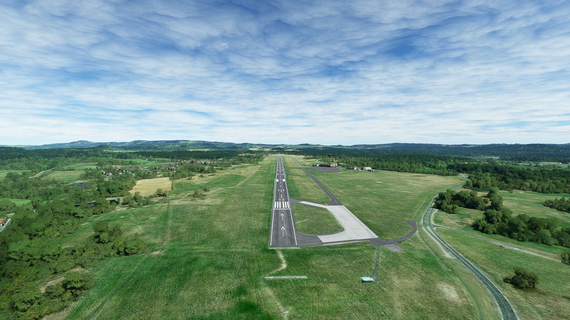
Karlovy Vary(POI25) to Karlovy Vary(LKKV)
Distance: 3.58NM Bearing: 121° 2 minutes
Turn onto a southeast heading over Karlovy Vary and land just to the southeast of town at Karlovy Vary Airport.
Leg 7
Karlovy Vary to Line
Leg Distance: 45.61 Approximate time at 125kts: 22 minutes.
Karlovy Vary(LKKV) to Touzim(POI26)
Distance: 9.32NM Bearing: 158° 4 minutes
Lift off from Karlovy Vary Airport and set a course to the south-southeast. Fly into the Teplá Highlands and sight the Střela River. The town of Toužim lies on the banks of the river.
Touzim(POI26) to Tepla(TEPL?)
Distance: 6.45NM Bearing: 222° 3 minutes
Turn onto a southwest course and continue into the Teplá Highlands. Pass into the Slavkov Forest and sight the Teplá River. The village of Teplá lies on its banks.
Tepla(TEPL?) to Cernosin(POI27)
Distance: 9.83NM Bearing: 172° 5 minutes
Turn to the south and continue over the Teplá Highlands and the Slavkov Forest. Sight road 230 and the village of Černošín.
Cernosin(POI27) to Stribro(POI28)
Distance: 5.83NM Bearing: 126° 3 minutes
Turn onto a southeast course and sight the Mže River. The town of Stříbro lies on the northern bank of the Mže at the intersection of a number of highways and roads. This region was critically important to the development of Bohemia. Silver was discovered and mined here, and then lead was mined. It is on the historic route known as the “Golden Road” between Prague and Nuremberg in Germany’s Bavaria.
Stribro(POI28) to Stod(STOD)
Distance: 9.43NM Bearing: 131° 5 minutes
Maintain course over Stříbro and locate the Radbuza River. The town of Stod lies on the river’s banks at the intersection of motorway 26 and road 230.
Stod(STOD) to Line(LKLN)
Distance: 4.75NM Bearing: 59° 2 minutes
Turn to the northeast and sight Line Airport and land.

Leg 8
Line to Ceske Budejovice
Leg Distance: 65.2 Approximate time at 125kts: 31 minutes.
Line(LKLN) to Prestice(POI29)
Distance: 6.4NM Bearing: 155° 3 minutes
Take-off at Line Airport and set a course to the south-southeast. Visually trace motorway 27, located to the east of Přeštice, to the south where it meets with the Úhlava River. The town of Přeštice lies on the banks of the river where it meets motorway 27.
Prestice(POI29) to Zinkovsky Lake(POI30)
Distance: 8.52NM Bearing: 126° 4 minutes
Turn onto a course to the southeast and sight Žinkovský Lake in the distance. The lake is just to the west of the small town of Nepomuk.
Zinkovsky Lake(POI30) to Horazdovice(POI31)
Distance: 12.57NM Bearing: 136° 6 minutes
Continue on course to the south-southeast. Sight two small ponds, Myslívský Pond and Kozčínský Pond, and fly between them. This region is called the Bohemian Forest Foothills and is home to numerous protected natural areas and ruins of ancient castles. Gain a visual on the Otava River and the town of Horažďovice on its shoreline. Just to the southwest of Horažďovice is the small town of Rabí, location of the Rabí Castle, one of the largest castles in Czechia and Central Europe.
Horazdovice(POI31) to Strakonice(POI32)
Distance: 8.59NM Bearing: 110° 4 minutes
Adjust heading slightly to the north and parallel the Otava River and motorway 22 through the Bohemian Forest Foothills to the city of Strakonice. Strakonice is located at the confluence of the Otava River and the Volyňka River. Strakonice is an industrial city and is known for its production of motorcycles, weapons, hats, and bagpipes, a diversity reflective of the myriad influences the region has experienced over centuries.
Strakonice(POI32) to Vodnany(POI33)
Distance: 12.7NM Bearing: 117° 6 minutes
Continue on course, flying above the Bohemian Forest Foothills. Gain a visual on the Blanice River and the city of Vodňany. Locals of Vodňany long ago established ponds around the city for aquaculture, which remains a mainstay of the area’s economy today.
Vodnany(POI33) to Zliv(ZLIV)
Distance: 8.97NM Bearing: 121° 4 minutes
Maintain heading and parallel motorway 20. Pass a number of ponds and lakes in the area and gain a visual on Lake Bezdrev. Lake Bezdrev is one of Czechia’s most productive aquaculture locations. The town of Zliv lies on its northwestern extremity.
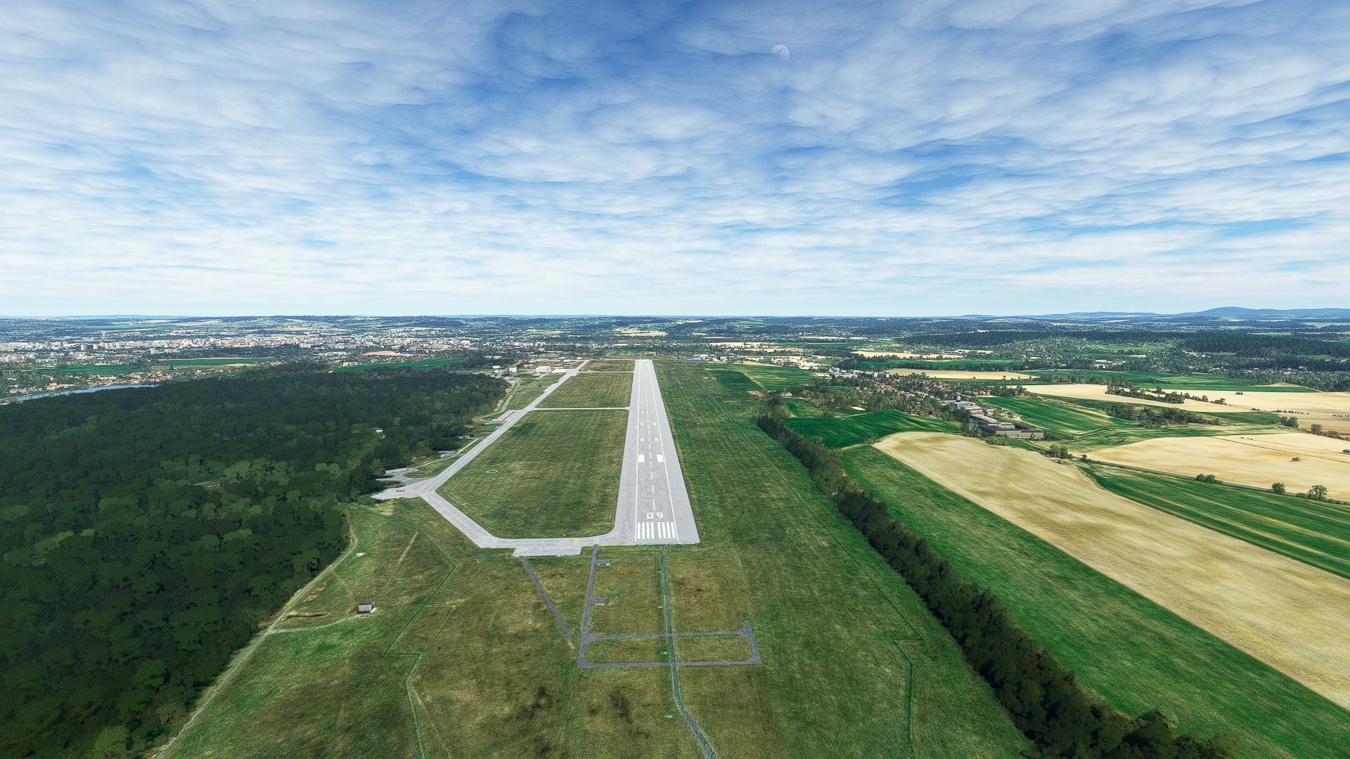
Zliv(ZLIV) to Ceske Budejovice(LKCS)
Distance: 7.45NM Bearing: 155° 4 minutes
Adjust heading to the south over the town of Zliv and skirt the western side of Lake Bezdrev. Pass over another group of ponds and then sight České Budějovice Airport and land.
Leg 9
Ceske Budejovice to Částkovice Private Ulm
Leg Distance: 47.8 Approximate time at 125kts: 23 minutes.
Ceske Budejovice(LKCS) to Ceske Budejovice(POI34)
Distance: 2.84NM Bearing: 42° 1 minutes
Lift off from České Budějovice Airport and set a heading to the northeast. Pass over the confluence of the Malše River and the Vltava River, the longest river in Czechia, to reach the city of České Budějovice. The city is the largest population center in South Bohemia and is home to a number of universities, including the Academy of Sciences.
Ceske Budejovice(POI34) to Lisov(LI?OV)
Distance: 5.54NM Bearing: 62° 3 minutes
Adjust course slightly to the south and pass over the city of Rudolfov. Gain a visual on motorway 34 and follow it to the town of Lišov.
Lisov(LI?OV) to Kardasova Recice(POI35)
Distance: 14.11NM Bearing: 39° 7 minutes
Adjust course slightly to the north and sight a region of ponds. This portion of South Bohemia is known as the Třeboň Basin and is notable for its wetlands and ponds. Pass directly over the town of Lomnice nad Lužnicí and continue on course. Gain a visual on motorway 23 in the distance. The town of Kardašova Řečice is located at the intersection of motorway 23 and road 147 at the southwestern end of a large L-shaped pond, Velký řečický Pond.
Kardasova Recice(POI35) to Pocatky(POI36)
Distance: 15.57NM Bearing: 68° 7 minutes
Set a course to the east-northeast and fly into the Křemešník Highlands. Pass just south of the town of Nová Včelnice, located along motorway 23. Continue on course to the town of Počátky, which is notable as it lies directly on the border of the historic regions of Bohemia and Moravia.
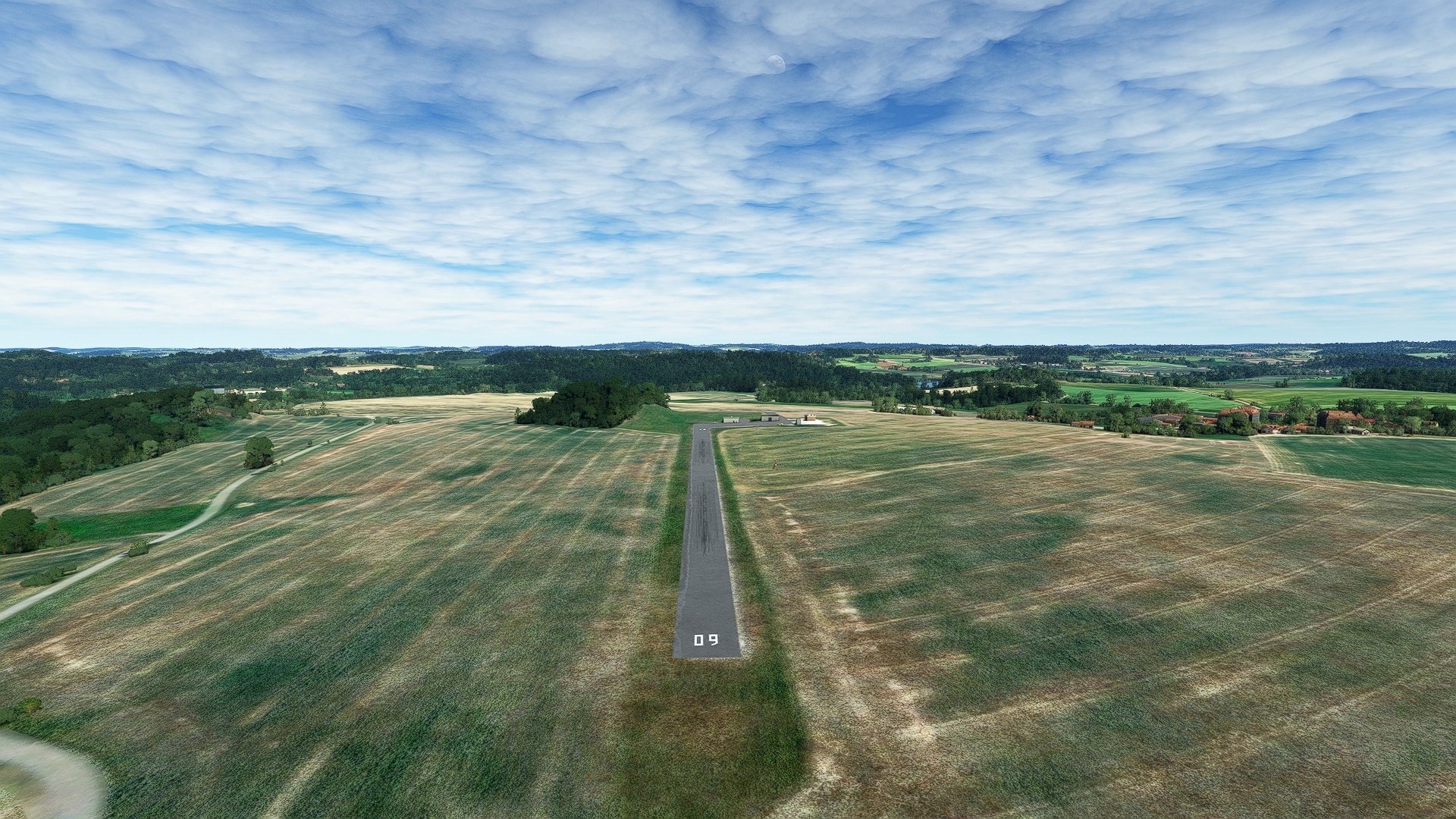
Pocatky(POI36) to Castkovice Private Ulm(LKNO)
Distance: 9.74NM Bearing: 332° 5 minutes
Turn onto a north-northwest heading over Počátky. Gain a visual on two small ponds in the distance. Částkovice Airfield is located just to the northwest of the larger, more northern pond, Hejlovský Pond.
Leg 10
Částkovice Private Ulm to Ruzyne
Leg Distance: 59.36 Approximate time at 125kts: 28 minutes.
Castkovice Private Ulm(LKNO) to Pacov(PACOV)
Distance: 6.67NM Bearing: 299° 3 minutes
After launching from Částkovice Airfield, set a heading to the northwest. The land along this flight corridor lies at the juncture of Bohemia and Moravia. Gain a visual on the town of Pacov in the distance. Pacov, and many of the towns of this region, was heavily influenced by the Thirty Years’ War. Spanning from 1618 to 1648 in Central Europe, upwards of 8 million (estimated) people died in this conflict that was based on the Reformation within the Holy Roman Empire. Certain areas in what is modern-day Czechia experienced population losses of 50 percent or more, including Pacov.
Pacov(PACOV) to Vlasim(POI37)
Distance: 14.68NM Bearing: 339° 7 minutes
Adjust course to the north-northwest and fly over pastoral scenes of hedgerows, fields, and swaths of forest. Gain a visual on the Bohemian town of Vlašim.
Vlasim(POI37) to Benesov(POI38)
Distance: 9.42NM Bearing: 295° 5 minutes
At Vlašim, turn onto a northwest course and follow the general trend of the winding rail line, remaining primarily to its north to reach the town of Benešov, located on the Benešov Uplands, part of the Central Bohemian Region.
Benesov(POI38) to Slapy Reservoir(POI39)
Distance: 9.87NM Bearing: 284° 5 minutes
Remain on course and gain a visual on a group of small ponds near the village of Krusičany. Fly over Krusičany and continue on course, flying over the southern of a group of two ponds, then gain a visual on the northern end of Slapy Reservoir. The reservoir was created in 1955 by the damming of the Vltava River near the village of Slapy. Fly over the northern end of the reservoir, then turn onto a north-northwest course. The reservoir was established for flood control, municipal and agriculture water supply, and hydroelectricity generation. Due to its proximity to Prague, it is also a popular recreation destination.
Slapy Reservoir(POI39) to Prague(POI40)
Distance: 11.87NM Bearing: 347° 6 minutes
Fly along the Vltava River Corridor, remaining to the river’s east, to Prague, the capital and largest city in Czechia. Prague is one of the world’s most renowned cities. Influenced by a wide range of cultures through the centuries and having survived the travails of internal upheaval and world wars, the cultural mix of Prague is one of history’s most distinctive. The diversity here is reflected in its architecture, and includes exceptional examples of Gothic, Baroque, and Renaissance structures. From the air, aviators can explore myriad parks, cathedrals, and all forms of architecture, both modern and centuries-old.
Prague(POI40) to Ruzyne(LKPR)
Distance: 6.85NM Bearing: 301° 3 minutes
Turn to the northwest over the city of Prague and land at Václav Havel, bringing this exploration of Czechia to a close.
