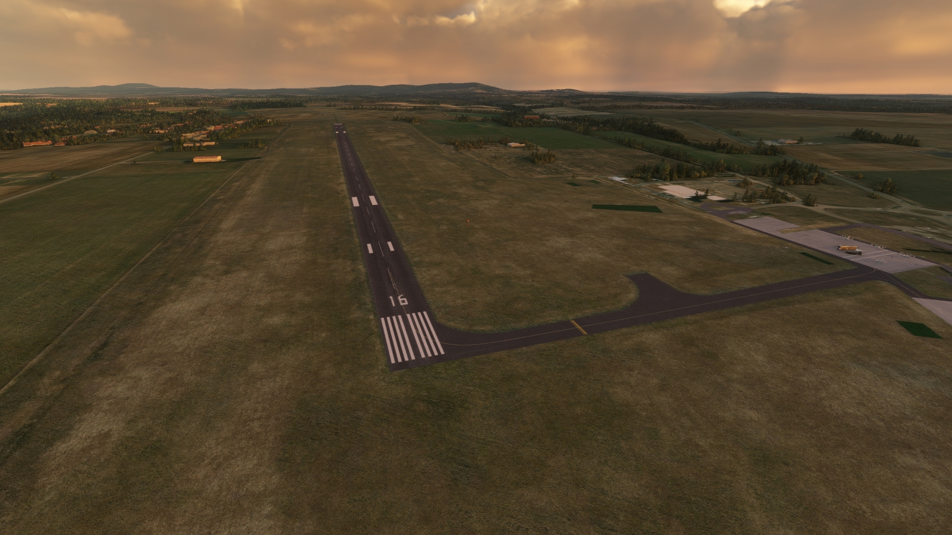
Through Slovakia and Hungary
Slovakia and Hungary both possess unique mixes of cultures, traditions, and histories. Although distinct, the two central European countries share traits beyond their common border. Both are landlocked, both have been touched dramatically by migration, regional turmoil, and change through time, and both have risen from the ashes of war to be successful modern standouts on the global stage.
Each nation traces its lineage to prehistoric times, and each experienced significant development throughout Europe’s historic periods, notably the Roman Empire, the Migration Period, the Middle Ages, and the Modern Era. This includes influxes of people through the centuries that dramatically influenced each country’s unique cultural composition.
In the 20th century, both countries were members of the Austro-Hungarian Empire until its collapse during the First World War. Today’s Slovakia became a component of Czechoslovakia after World War I. After a series of upheavals throughout World War II and then the Cold War, Slovakia detached from Czechoslovakia in 1993 through the nonviolent “Velvet Revolution,” officially becoming the Slovak Republic. Hungary experienced similar political vicissitudes throughout the 20th century and was incorporated into the communist Eastern Bloc after World War II. Hungary aligned itself with nations of western Europe after the Soviet collapse of 1991.
The Danube River corridor has been a nexus of activity and development throughout the histories of both Slovakia and Hungary. The waterway, the second longest in Europe at 1,771 miles, has also served to bring both nations together through the ages. Since the first human habitation in the region, the Danube has been a natural route of migration and transportation as well as a fertile ribbon along which to settle and cultivate society. Both Bratislava and Budapest, the capital and largest city of Slovakia and Hungary, respectively, lie on the banks of the Danube.
This route traverses Slovakia and Hungary along the Danube, stitching together cities, towns, and endless vistas of both countries. It ends with an exploration of southwestern Hungary. Aviators will bask in the myriad views for which both nations are renowned, and they will gain an appreciation for the rich history and centuries of development of the two nations along the course of the route.
Total Legs: 6 Total Distance: 292 Total Time(125kts): 2 hours 20 minutes
Leg 1
Malacky to Vajnory
Leg Distance: 38.62 Approximate time at 125kts: 19 minutes.
Malacky(LZMC) to Malacky(MALA)
Distance: 4.1NM Bearing: 289° 2 minutes
After taking to the Slovakian sky from Malacky Air Base, set a course to the northwest. Fly over the low hills of the Little Carpathians, a mountain range situated to the southeast of the air base. Sight Road 503 to the southwest and converge with and follow it to the city of Malacky. The city lies on the banks of the Malina River, a tributary of the Morava River, which is a tributary to the Danube. A regional hub of commerce, Malacky has a rich history and boasts a number of historic buildings, including notable churches and synagogues.

Malacky(MALA) to Morava River(MARC)
Distance: 6.96NM Bearing: 270° 3 minutes
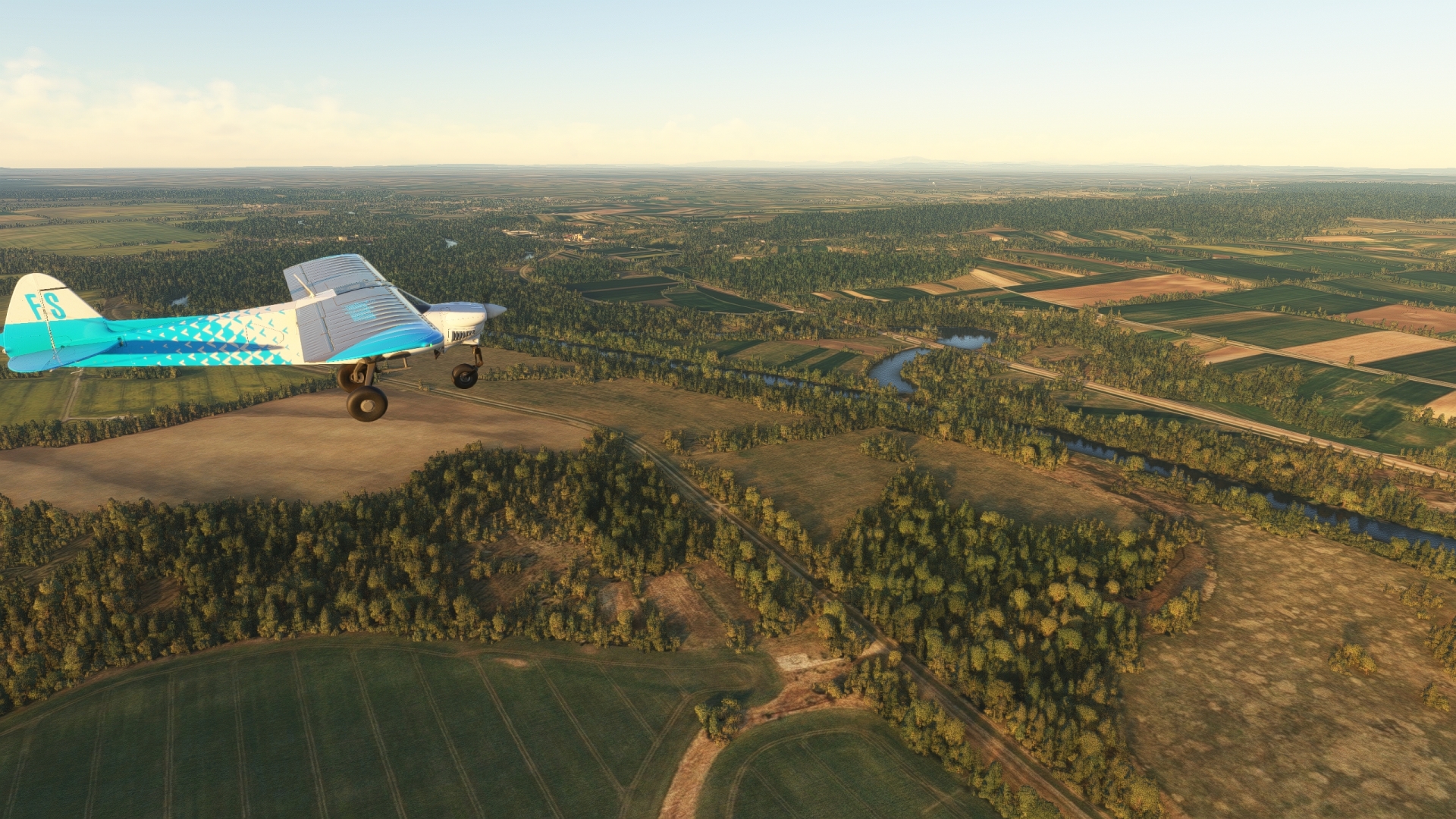
Over Malacky, adjust course slightly to the south to get into a west-northwest heading. For visual reference, fly on a course equidistant from the village of Gajary to the north and Jakubov to the south. Sight and fly to the Morava River. Named after Moravia, a historic Czech region, the Morava River defines the border of Slovakia and Austria in this part of Europe.
Morava River(MARC) to Zahorska Ves(ZAHO)
Distance: 3.57NM Bearing: 186° 2 minutes
Turn onto a south-southwest heading and follow the Morava River to the village of Záhorská Ves, the westernmost settlement in Slovakia. A sharp bend in the Morava on the western periphery of the village is the westernmost point of land in the country.

Zahorska Ves(ZAHO) to Devinske Jazero(DEVN)
Distance: 6.58NM Bearing: 144° 3 minutes
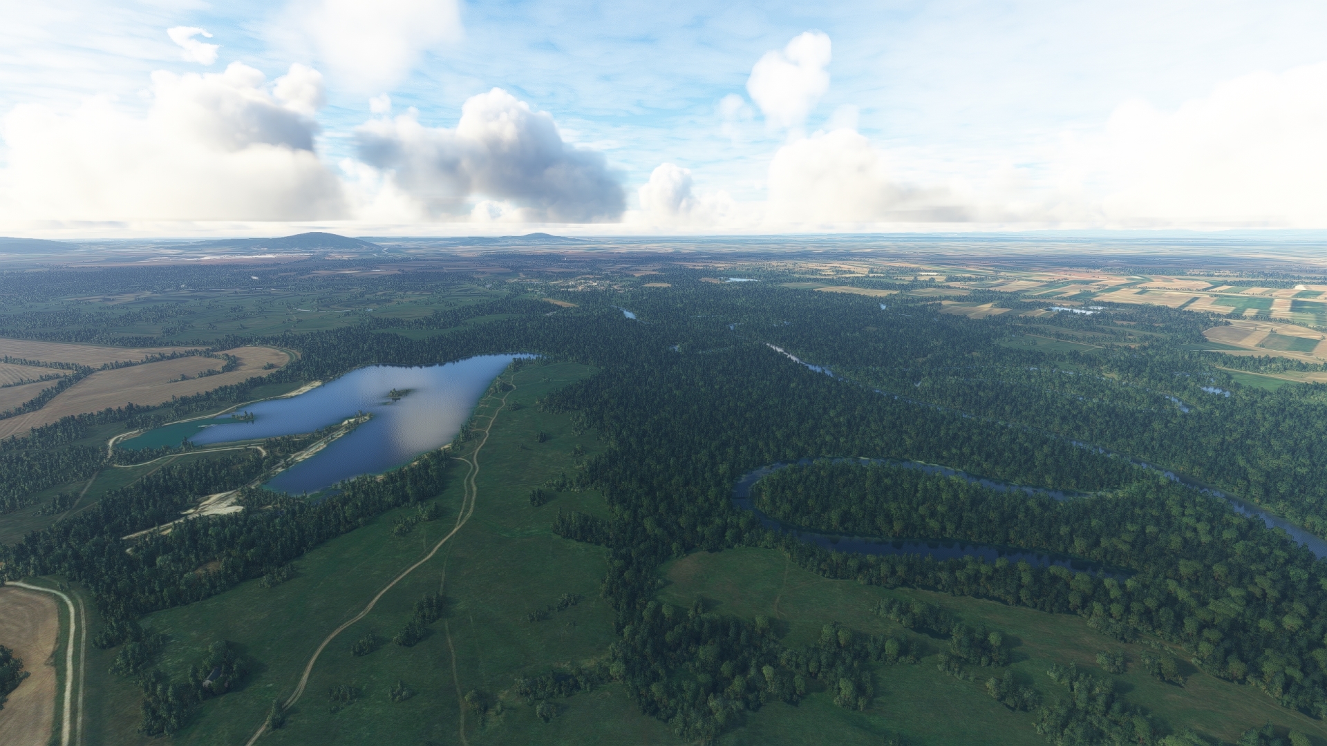
From Záhorská Ves, follow the course of the Morava River to the southeast. The course of the waterway is flanked on both sides by wetlands, forests, and oxbow lakes. Sight the lake, Štrkovisko na Židovkách, and keep just to its west, then fly over Devinske Jazero, a lake and wetlands that is one of the best preserved in all of Europe. The area is renowned for its biodiversity and its summertime bloom of white water lilies.
Devinske Jazero(DEVN) to Devin Castle(DEVI)
Distance: 7.24NM Bearing: 155° 3 minutes
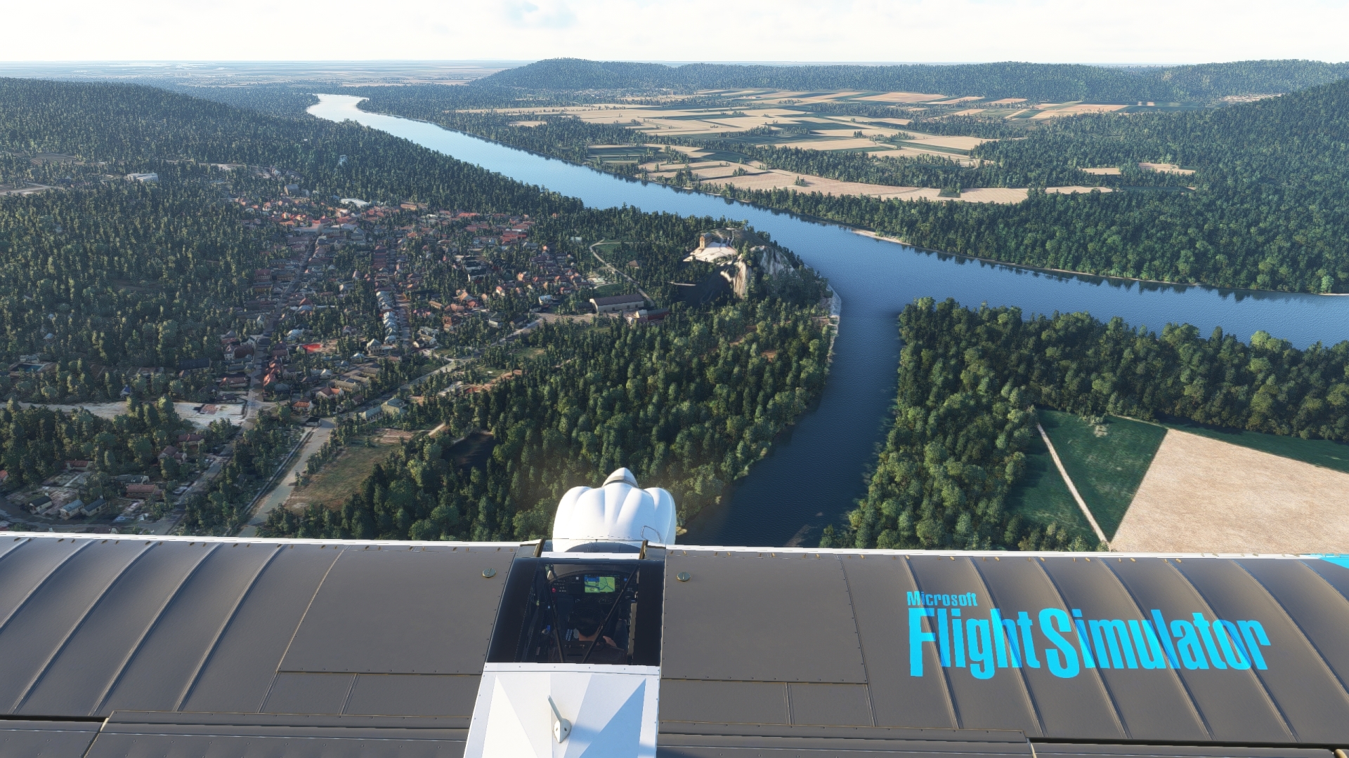
Continue following the course of the Morava River to the south-southeast, traversing wetlands, agriculture fields, and vistas of western Slovakia and eastern Austria. Sight the confluence of the Morava and the Danube in the distance. The juncture of the two rivers lies just to the southwest of Devínska Kobyla, a prominent, forested peak that is the highest mountain in the Devín Carpathian Mountains at 1,686 feet above sea level. Sight Devín Castle, which lies on the eastern shore of the confluence. The castle is one of the oldest in Slovakia. It was built, in part, to watch over the important commercial traffic on the Danube and Morava Rivers.
Devin Castle(DEVI) to Bratislava(BRAT)
Distance: 5.43NM Bearing: 103° 3 minutes
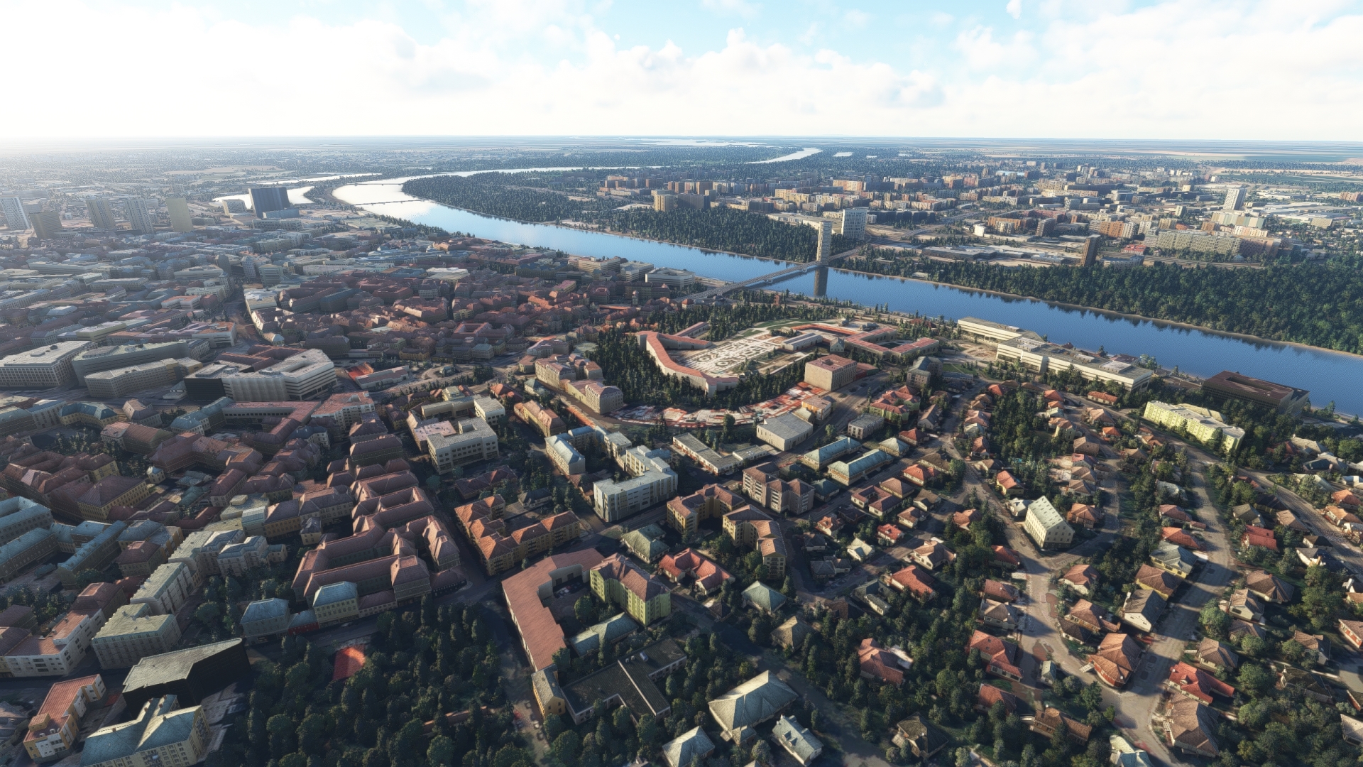
Follow the course of the Danube to the southeast, staying north of its northern bank. Pass over the low peaks of the Devín Carpathian Mountains and then Bratislava, the capital of Slovakia, will come into view. Modern-day Bratislava has been hewn through centuries of influence by cultures from throughout Europe, and today is Slovakia’s center of finance, the arts, education, and commerce. The wide-ranging diversity that forged Bratislava is reflected in its varied architecture, including ornate 20th century designs, medieval castles, and modern 21st century creations. The most salient of Bratislava’s structures is the Bratislava Castle, an imposing rectangular building that stands above the Danube atop an insular hill of the Devín Carpathian Mountains. Because Bratislava, which lies just 35 miles downstream from Vienna, Austria, is the only national capital in the world to border two neighboring countries (Austria and Hungary), views from above the city, notably over Bratislava Castle, abound in beauty and historical evocativeness.
Bratislava(BRAT) to Vajnory Airport(LZVB)
Distance: 4.74NM Bearing: 39° 2 minutes
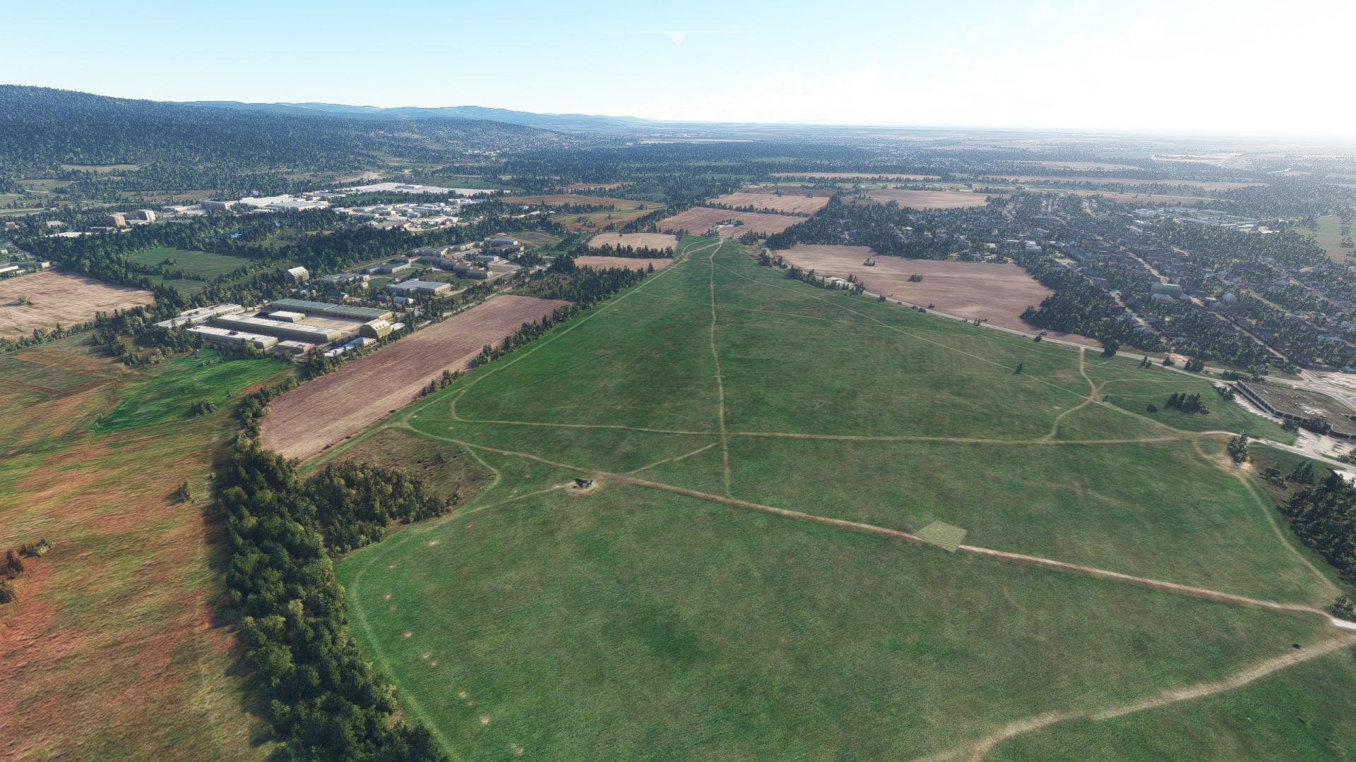
Turn to the northeast at Bratislava, enjoying the many views the city has to offer, and sight Bratislava Airport, Slovakia’s primary international airport. Vajnory Airport lies in a field to the north of Bratislava Airport. Specifically, it lies just north of a lake and a large railroad yard, adjacent to the town of Vajnory. Land at Vajnory Airport to complete this portion of the journey.
Leg 2
Vajnory to Győrszentiván-Bőny airport
Leg Distance: 44.77 Approximate time at 125kts: 21 minutes.
Vajnory Airport(LZVB) to Cunovo Dam(CUNO)
Distance: 10.42NM Bearing: 167° 5 minutes
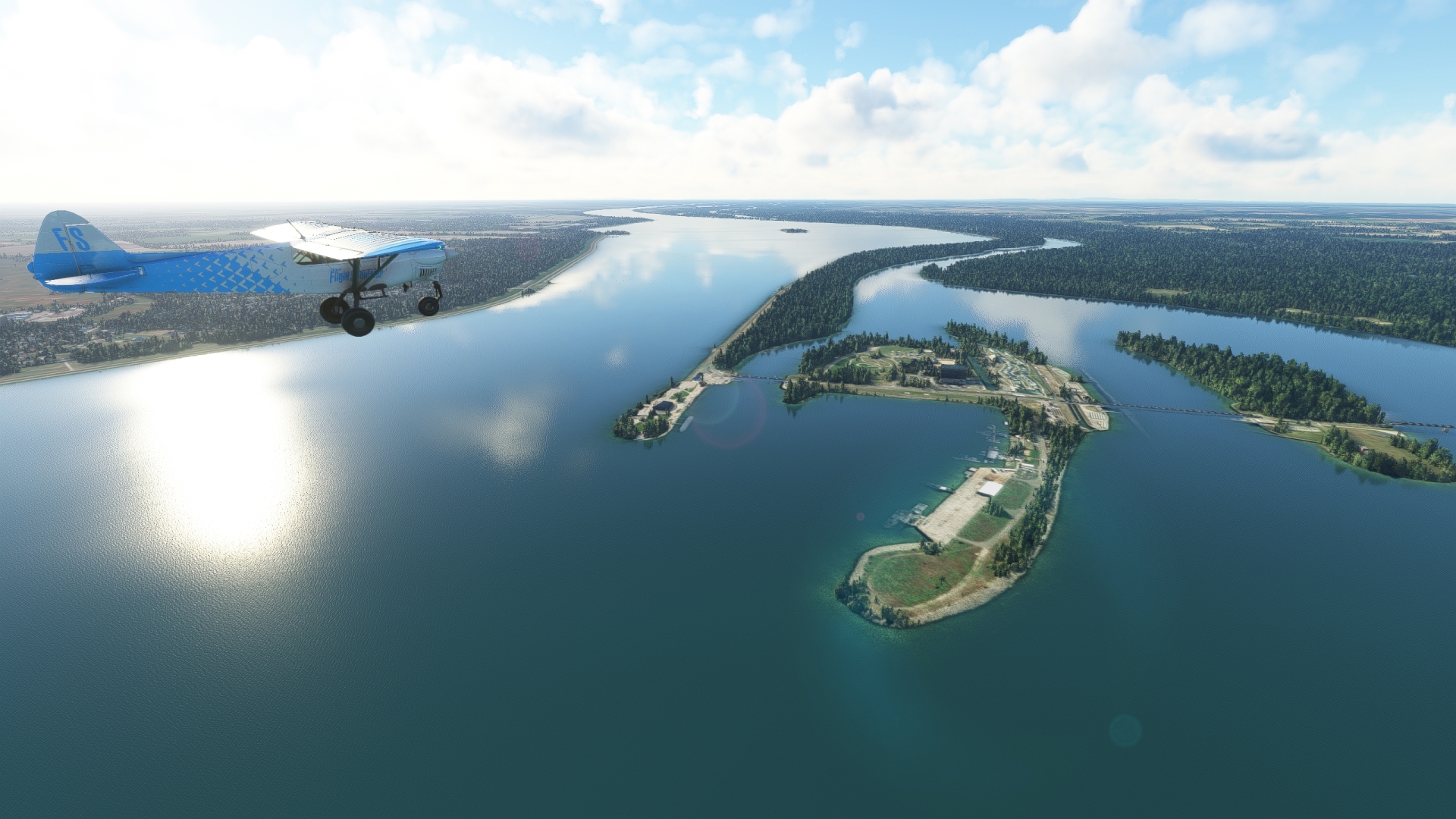
Lift off from Vajnory Airport and set a course just to the east of due south, then pass to the west of Bratislava Airport. Fly to the east of a large oil refinery and sight the Danube where it widens and locate the Čunovo Dam. The Dam is part of a large water complex that includes the Čunovo Water Sports Center and the Čunovo Hydroelectricity Station. The sports center features an artificial whitewater slalom course that is internationally renowned and has hosted a number of championships, including a world championship. The hydroelectricity station produces up to 24 megawatts of power. The dam and associated facilities were built based on the Budapest Treaty of 1977 between Hungary and Czechoslovakia. The treaty outlined a number of projects along the Danube, including dams, channels, locks, and levees. The dam lies just to the east of the three-way juncture of the borders of Slovakia, Austria, and Hungary.
Cunovo Dam(CUNO) to Medvedovsky Bridge(MEDV)
Distance: 22.35NM Bearing: 124° 11 minutes
Continue following the Danube to the southeast and fly along the Slovakia-Hungary border, defined along this stretch by the corridor of the Danube River.
This region is called the Little Hungarian Plain (also called Little Alfold). It is characterized by wetlands immediately bordering the Danube River proper, with agriculture fields beyond the wetlands. Pilots can gain a great appreciation for the importance of the Danube in populating this part of Europe as aerial vistas here dramatically show the lush vitality the river brings. The 1,771-mile-long river, which begins in Germany’s Black Forest and empties into the Black Sea, deposits nutrient-rich alluvium along its course. This alluvium is the base for agriculture development, notable in places like the Little Hungarian Plain. Archaeologists have uncovered evidence of human settlement and agriculture development along the Little Hungarian Plain dating back to the Neolithic Age. Development continued through the Roman Empire and subsequent historical stages, and continues into the present, notably with the cultivation of sugar beets and apricots.
Continue flying along the corridor to the Medveďovský Bridge, which spans the Danube at the Slovakian town of Medveďov. For a visual reference, Hungarian Main Road 14 (which becomes Slovakian Route 13) connects with the Medveďovský Bridge. The two roadways run southwest-northeast.

Medvedovsky Bridge(MEDV) to Gyor(GYOR)
Distance: 6.34NM Bearing: 176° 3 minutes
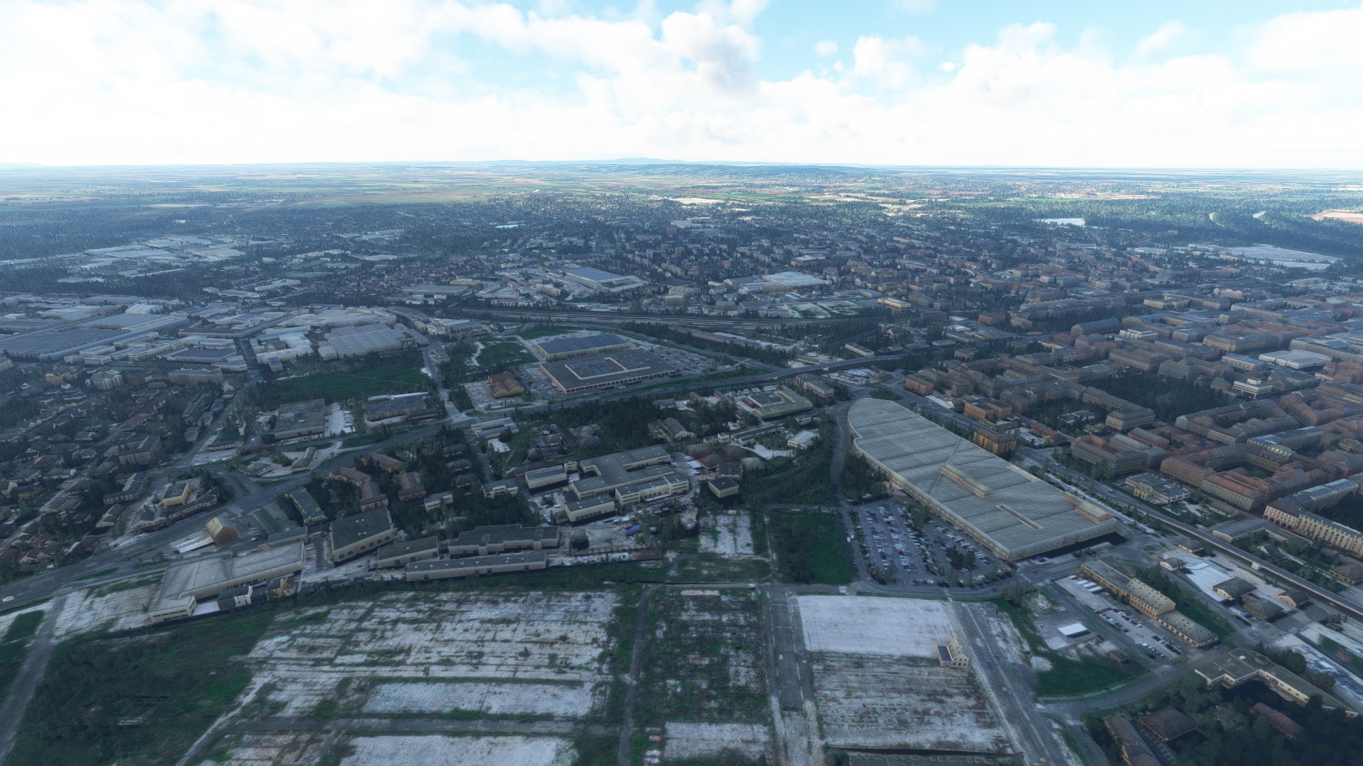
Turn into a due south heading at Medveďovský Bridge, and fly into northwest Hungary. Pass over the city of Győr, which lies on the Moson Arm of the Danube River at the confluence of the Rába and Rábca tributaries. Győr is a historically important Hungarian city as it lies along a critical route midway between Budapest and Vienna. It has a rich history dating back to the Neolithic Age and early agriculture development. Its development, as reflected in its architecture, has been influenced by a number of population influxes through the centuries and has proven strategically significant throughout key European conflicts, notably the Turkish Wars. Today, it is the primary population center in northwest Hungary and is the sixth largest city in the nation.
Gyor(GYOR) to Gyorszentivan-Bony Airport(LHBY)
Distance: 5.66NM Bearing: 97° 3 minutes
Turn onto a south-southeast course over Győr and gain a visual on the M1 motorway in the distance, which trends southwest-northeast. Gyõrszentiván-Bõny Airport, a small grass airstrip, lies just to the east of M1, south of the intersection of the M1 with the M19 motorway. Land at the airstrip to bring this leg of the journey to a close.

Leg 3
Győrszentiván-Bőny airfield to Esztergom airport
Leg Distance: 39.11 Approximate time at 125kts: 19 minutes.
Gyorszentivan-Bony Airport(LHBY) to Komarom(KOMA)
Distance: 14.47NM Bearing: 64° 7 minutes
Back in the air after launching from Gyõrszentiván-Bõny Airport, set a course to the northeast and gain a visual on the confluence of the Váh River and the Danube River. Skirt the northern periphery of the town of Ács and then reach Komárom, which lies on the southern bank of the Danube. Directly across the Danube lies the city of Komárno, Slovakia, where the Váh joins the Danube.
Although separated by an international border, the two cities share an interwoven and incredibly important role in the history of Europe. The location has proven strategically critical since the Roman Empire, which established Szőny (now a component of Komárom) in the 1st century BC. In the following centuries, both Komárom and Komárno developed as population centers, and a large defensive system was built, called the Komárno – Komárom Fortification System. This started with the “Old Fortress” and eventually grew to be the largest fortification system in the Austro-Hungarian Empire. Notable among this system is Fort Monostor, built between 1850 and 1871 in Komárom. This fort, which comprises 640 rooms, could accommodate up to 8,000 soldiers and is the largest fort in central Europe. The fort was used well into the 20th century, including by the Soviet Union, which used it as a top secret weapons storage facility until 1991.

Komarom(KOMA) to Nyergesujfalu(NYER)
Distance: 17.57NM Bearing: 82° 8 minutes
After flying over Komárom, continue tracking the Danube River, straddling the Slovakia-Hungary border. Admire the low Gerecse Mountains on the river’s southern periphery and the many wetlands flanking the main river, then come to the town of Nyergesújfalu. The town is one of the oldest in Hungary and was the site of the Crumerum, a Roman military camp and adjoining vicus (small Roman town). The Crumerum stood for centuries, and was important for guarding the Roman Empire’s northern boundary. It crumbled and was eventually hidden by overgrowth but was discovered in the 20th century through aerial photography.

Nyergesujfalu(NYER) to Esztergom Airfield(LHEM)
Distance: 7.07NM Bearing: 86° 3 minutes
Continue to the east, flying along the course of the Danube. Pass Tati Island, a low, forested island on the Hungarian side of the Danube that is today the location of reforestation projects. Maintain an east heading and pass over the eastern portion of Tati Island, then visually locate Esztergom Airfield, a small grass airstrip that is oriented roughly north-south and located just to the west of Route 111. Land on the airstrip to end this leg of the journey.

Leg 4
Esztergom Airfield to Budaörs Airport
Leg Distance: 41.69 Approximate time at 125kts: 20 minutes.
Esztergom Airfield(LHEM) to Esztergom(ESTE)
Distance: 2.92NM Bearing: 4° 1 minutes
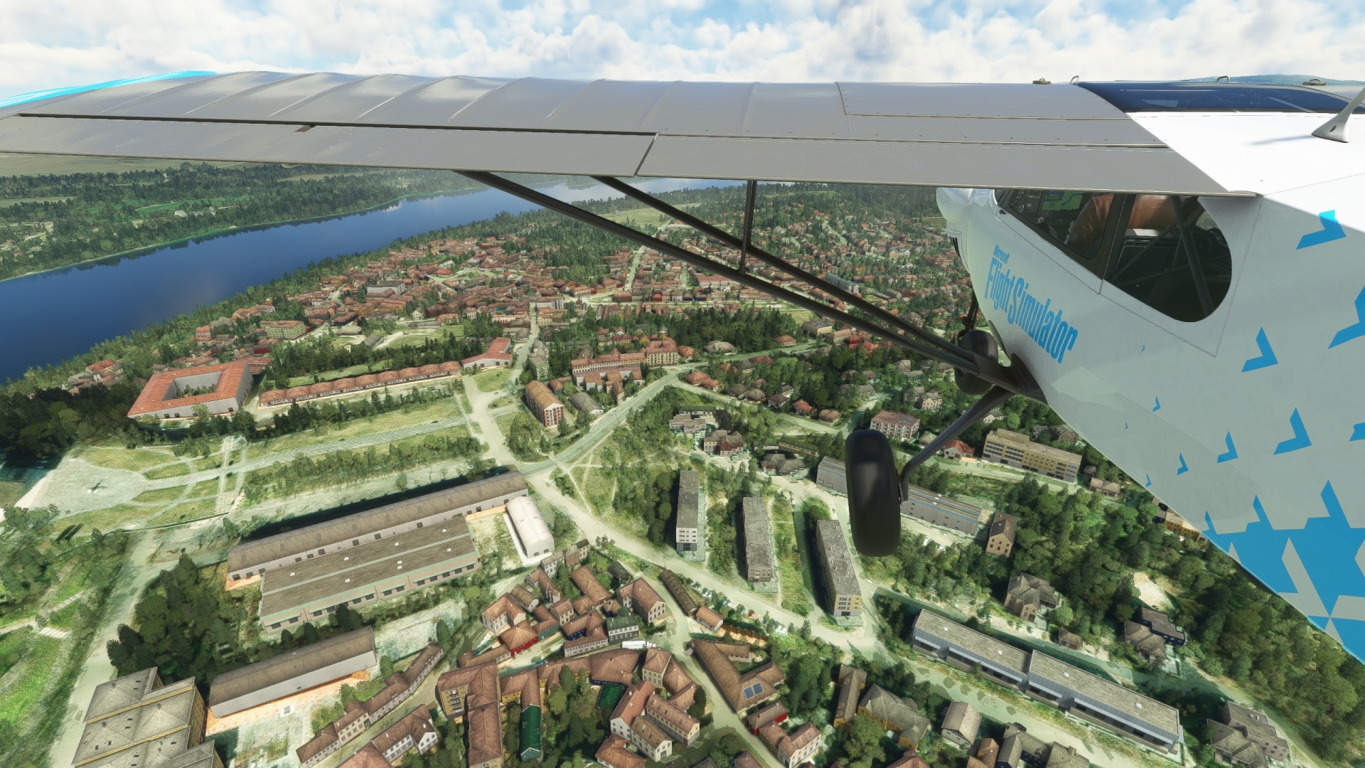
Take off from Esztergom airport and fly north, then fly over the city of Esztergom. Archaeological findings indicate that the region has been continuously settled for about 20,000 years, making it one of the oldest population centers in Europe. The first documented settlement was around 350 BC by the Celts. In the following centuries, the area was influenced by various groups, including the Romans, the Germanic tribes, the Slavs and the Avars. The city was officially founded as the capital of Hungary in 972 and retained this status until 1249. One of the most famous landmarks of the city and all of Hungary is the Basilica of Esztergom. It is the largest church in Hungary and the seat of the Archbishops of Esztergom-Budapest.
Esztergom(ESTE) to Zebegeny(ZEBE)
Distance: 6.73NM Bearing: 85° 3 minutes
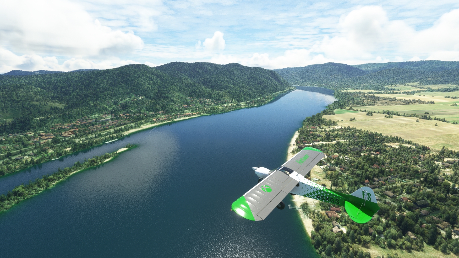
From Esztergom, continue on an easterly course, following the general trend of the Danube. The Danube traverses the Visegrád Mountains at this point. The mountains are part of the Western Carpathians, a dominant mountain range in this part of Europe. After crossing over a low ridge of peaks of the Visegrád Mountains, pass over the Danube where it makes a turn to the south and reach the village of Zebegény. Zebegény lies nestled between the Danube and a ridge of mountains. It is a popular tourist destination for Hungarians due to its beaches and surrounding mountainous landscapes. The village sits next to Danube-Ipoly National Park, which protects one of the most biologically diverse regions in the country.
Zebegeny(ZEBE) to Danube Bend(DANB)
Distance: 2.35NM Bearing: 156° 1 minutes
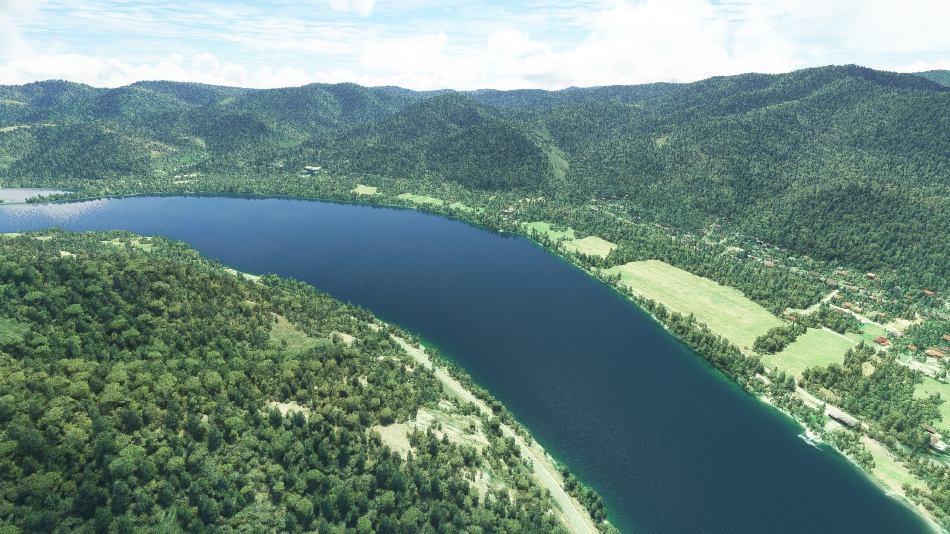
Continue to the south-southeast from Zebegény, following the course of the river. The Danube makes a pronounced U-shaped bend in its course along this transect. Called the Danube Bend, it formed as a result of a volcanic eruption approximately 15 million years ago. Today, the region of the Danube Bend is world-renowned for its beaches and spas.
Danube Bend(DANB) to Vac(VAC)
Distance: 8.12NM Bearing: 75° 4 minutes
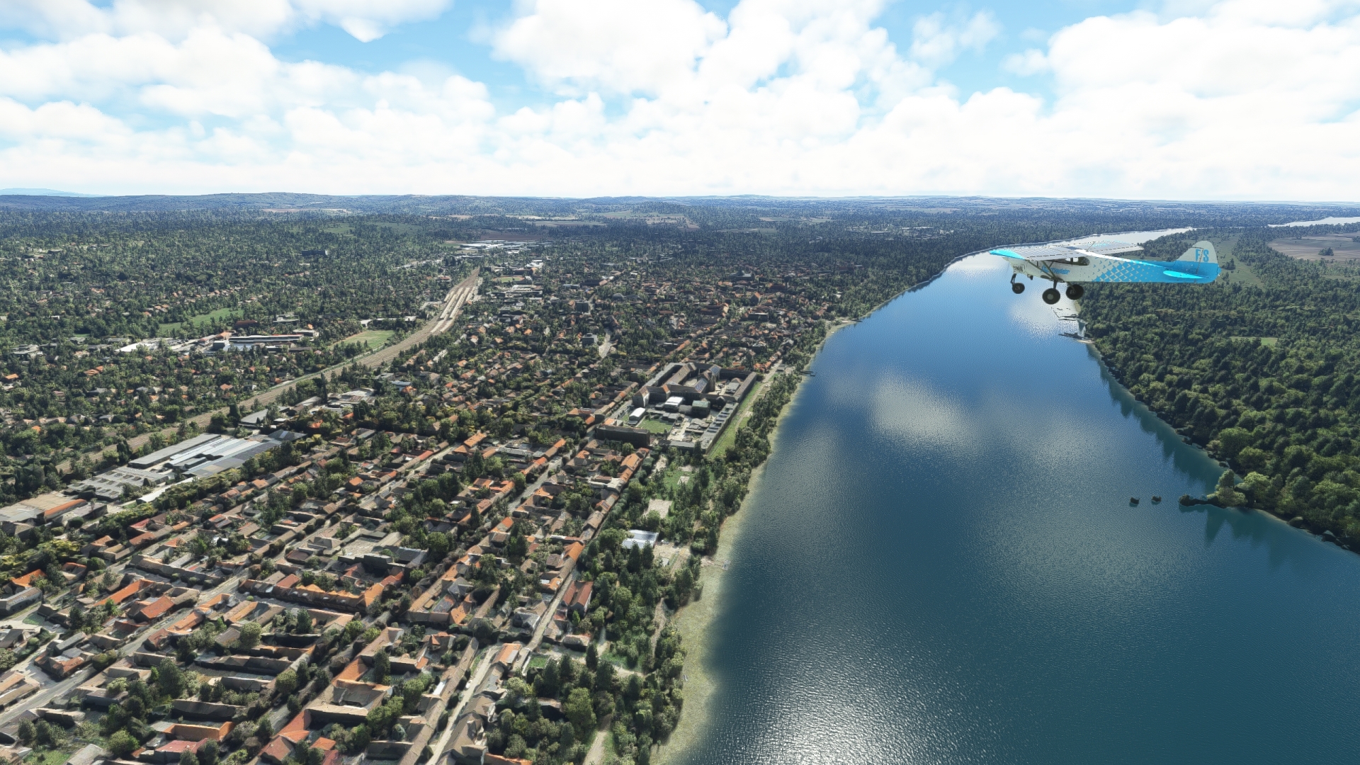
From the southernmost point of the Danube Bend, turn to the east-northeast and pass just to the south of the city of Visegrád, renowned for the remains of a renaissance palace on the banks of the Danube. Pass over Szentendre Island, which is formed by the main Danube and the Szentendre Branch of the river, and then reach the city of Vác. The city, which traces its roots to the Roman Empire, is a popular vacation destination for Hungarians during the summer months.
Vac(VAC) to Szentendre Island(SZEN)
Distance: 5.86NM Bearing: 183° 3 minutes
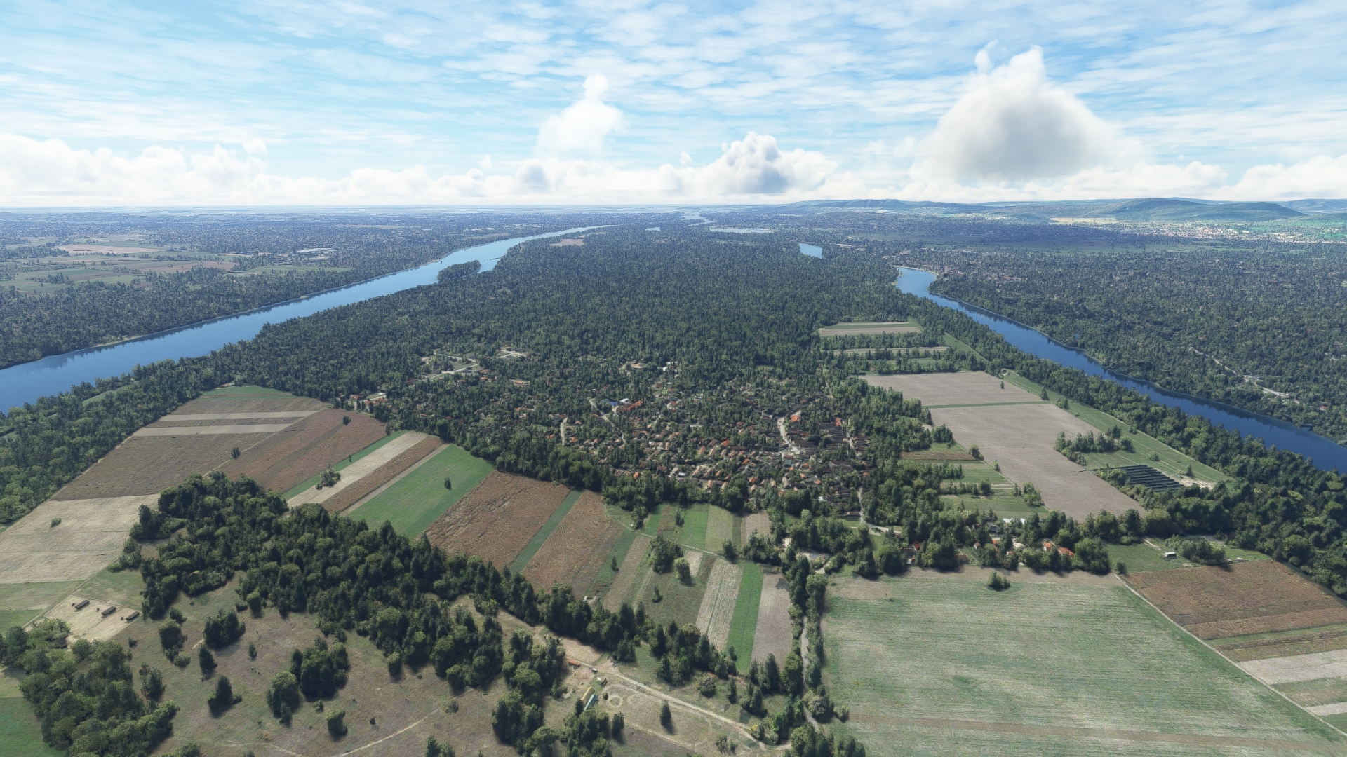
Turn to the south-southwest at Vác, pass over the main channel of the Danube and fly along Szentendre Island. The island, home to a few small villages, is known for its farms and orchards.
Szentendre Island(SZEN) to Budapest(BUDAP)
Distance: 11.95NM Bearing: 186° 6 minutes
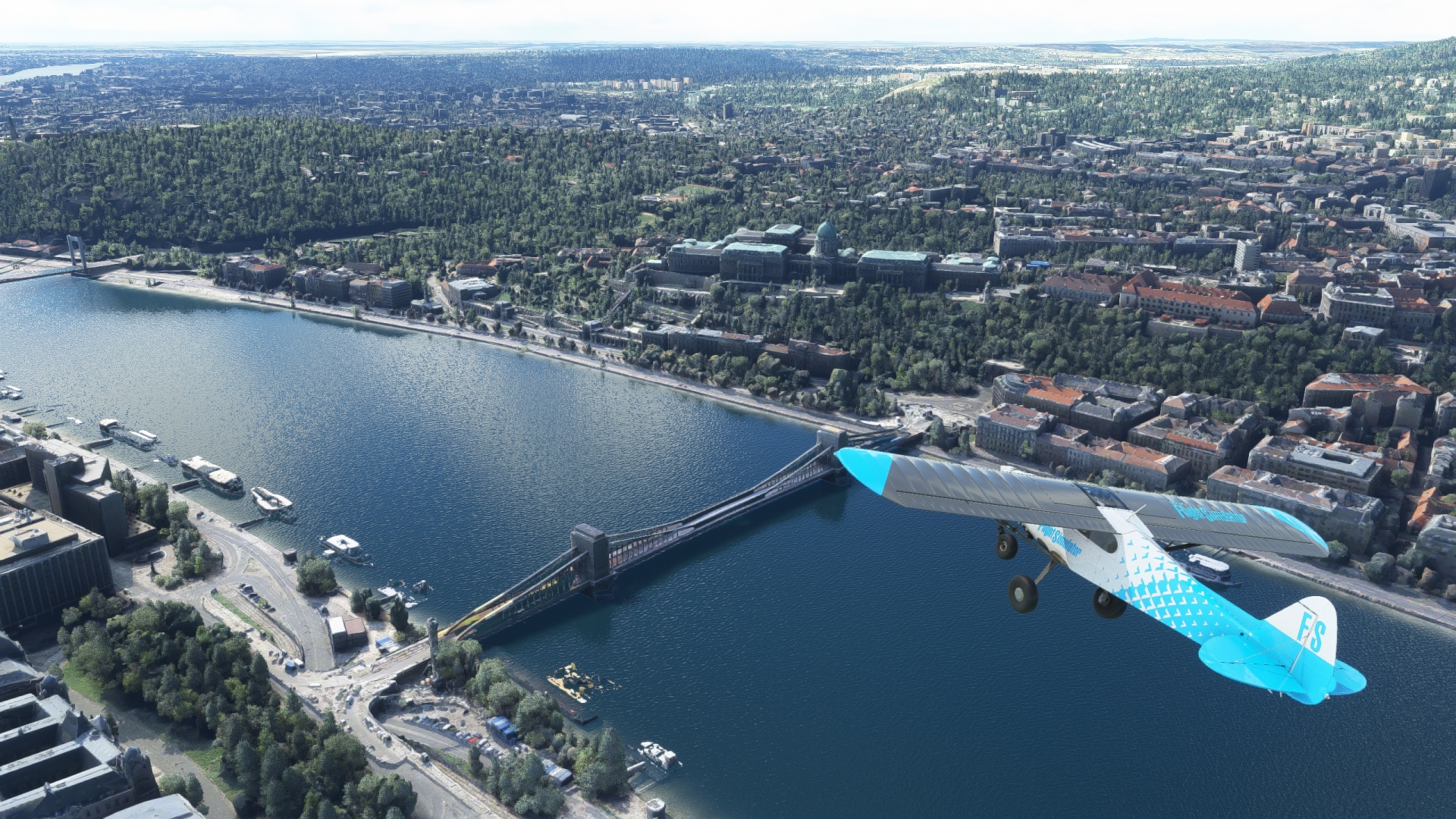
Continue on a south-southwest heading over Szentendre Island and reach Budapest. The capital of Hungary and its most populous metropolitan area, Budapest is one of Europe’s most renowned cities. It is a major nexus of trade, finance, the arts, and education. The city’s history dates to a Roman settlement called Aquincum at a location previously used by Celtic tribespeople. Two cities grew in the successive centuries, Buda, on the west bank of the Danube, and Pest, on the river’s eastern shore. Budapest was formally created on November 17, 1873 with the merging of the two along with another adjacent city, Obuda. Budapest has experienced a long history of influence by people from throughout Europe, and as such is highly regarded for its diversity of architecture.
One of the most famous landmarks lies directly on the Danube, the Hungarian Parliament Building, on the city’s eastern side. It is the seat of the National Assembly of Hungary and the largest building in the country.
Budapest(BUDAP) to Budaors Airport(LHBS)
Distance: 3.76NM Bearing: 220° 2 minutes
Over the heart of Budapest, turn to the southwest and sight Budaörs Airport, which lies just to the southwest of a large interchange of the M1 motorway. The airfield, once Hungary’s only international aviation facility, is a grass strip that lies just north of a rail line and just south of the M7 motorway. Land at Budaörs Airport to bring this leg of the trip to an end.

Leg 5
Airport Budaörs to Balatonlelle Sárkány
Leg Distance: 70.17 Approximate time at 125kts: 34 minutes.
Budaors Airport(LHBS) to Szazhalombatta(SZAZ)
Distance: 8.59NM Bearing: 190° 4 minutes
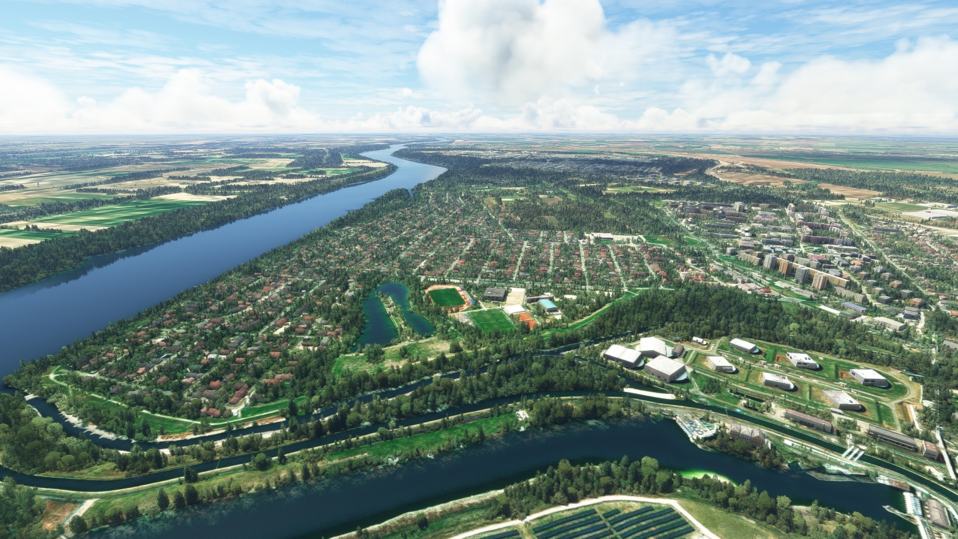
Take off from Budaörs Airport and set a heading to the west-southwest and merge with the path of the Danube. Sight the city of Százhalombatta, which lies on the western bank of the river. The location traces its historic roots to the Neolithic Age. The settlement is another example of how the Danube shaped human history for thousands of years in the region by providing water and fertile land. During the Bronze Age, settlers at the location created a massive earthwork that housed people for six centuries. On the outskirts of the location, inhabitants created tumulus mounds to bury their dead. The name Százhalombatta translates to “one hundred tumuli,” a reference to the earthen graves on the periphery of the city.
Szazhalombatta(SZAZ) to Szekesfehervar(SZEK)
Distance: 20.75NM Bearing: 244° 10 minutes
Turn onto a southwest heading over Százhalombatta and gain a visual on Lake Velence in the distance. Lake Velence is the third largest natural lake in Hungary and is very shallow. During the summer months, its shallowness allows it to become warm, making it a popular tourist destination.
Maintaining course, fly just to the north of Lake Velence to reach the city of Székesfehérvár. Székesfehérvár, which traces its roots to the Roman Empire, became a historic crossroads of a number of routes connecting Italy, the Balkans, Vienna, and the Budapest region. It maintains its important logistical distinction to this day due to a number of rail lines and highways passing through the city.

Szekesfehervar(SZEK) to Lake Balaton(BALA)
Distance: 16.6NM Bearing: 221° 8 minutes
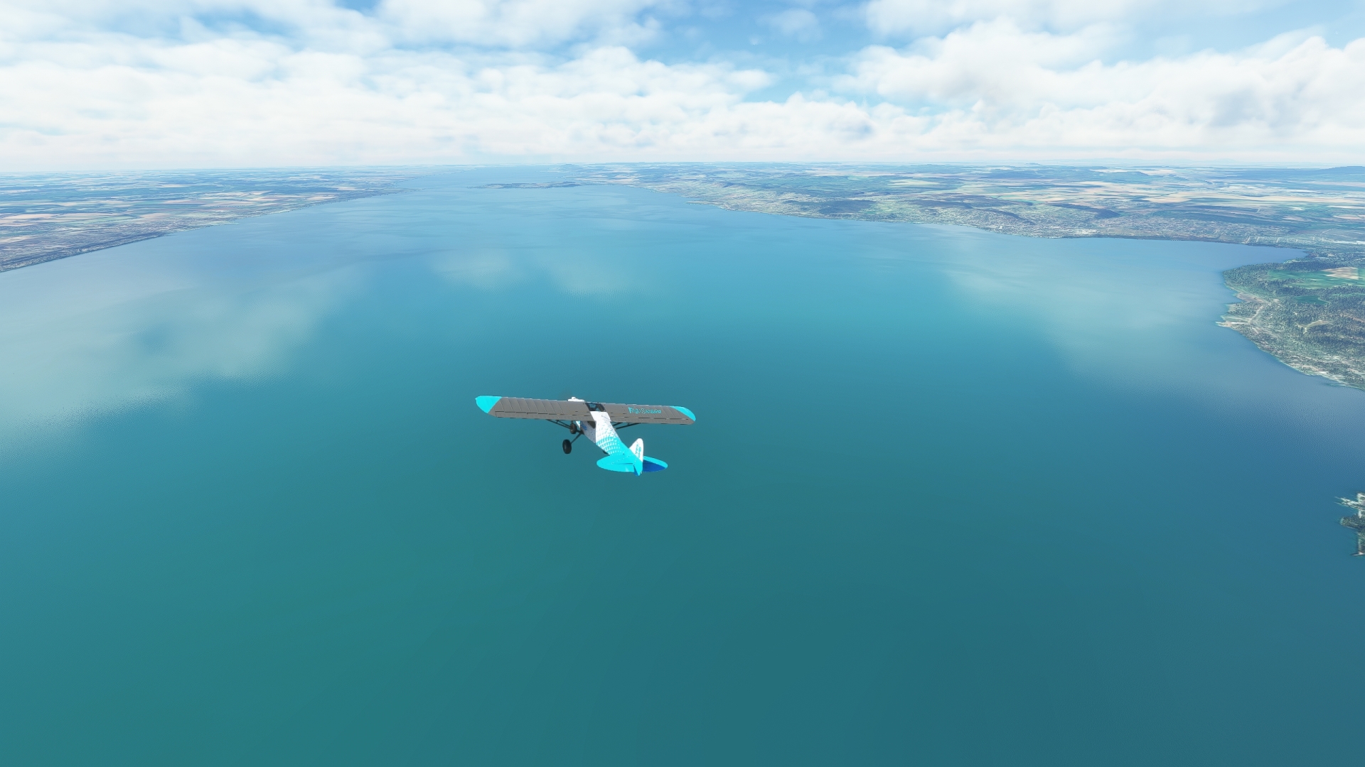
Adjust course slightly to the south over Székesfehérvár and parallel the M7 motorway, staying to its north. Gain a visual on Lake Balaton in the distance and fly to its northeastern extremity. At 48 miles long by 8.7 miles wide, Lake Balaton is the largest lake in central Europe. The lake, which is fed primarily by Hungary’s Zala River, formed through the process of geologic subsidence where a block of earth, called a graben (German for grave), sinks relative to peripheral blocks of earth. Today, it is a popular tourist destination and features a number of resorts on its shores.
Lake Balaton(BALA) to Tihany Peninsula(TIHA)
Distance: 12.83NM Bearing: 238° 6 minutes
Continue flying along the midsection of Lake Balaton to reach the Tihany Peninsula, which extends into the lake from its northern shore. In 1954, much of the peninsula was designated as Hungary’s first natural protected region due to its unique geology and biodiversity. The peninsula, sometimes called the “Pearl of Lake Balaton,” comprises volcanic features and two inland basins, one a lake and another a marshland with small ponds. The peninsula is also known for its vineyards, orchards, and remote beaches. Today, the peninsula is part of the Balaton Uplands National Park, established in 1997 to protect the northern shore of Lake Balaton.

Tihany Peninsula(TIHA) to Balatonlelle Sarkany Airport(LHBL)
Distance: 11.4NM Bearing: 216° 5 minutes
Adjust course slightly to the south and aim toward the southern shoreline of Lake Balaton. Gain a visual on the resort town of Balatonboglár. Balatonlelle Sárkány Airport, a grass airstrip oriented north-northwest – south-southeast, lies to the south of the town, directly south of the M7 motorway.

Leg 6
Balatonlelle Sárkány Airport to Pogany
Leg Distance: 57.24 Approximate time at 125kts: 27 minutes.
Balatonlelle Sarkany Airport(LHBL) to Somogytur(SOMO)
Distance: 4.46NM Bearing: 131° 2 minutes
Take to the sky and set a course to the southeast. Gain a visual on Road 67 and the village of Somogytúr. The village lies in one of the most sparsely populated regions in the country of Hungary, Somogy County. Somogy County lies in a larger region called Southern Transdanubia, which is bordered on its north by Lake Balaton, on its east by the Danube River, on its south by the Drava River, and on its west by the Mura River.
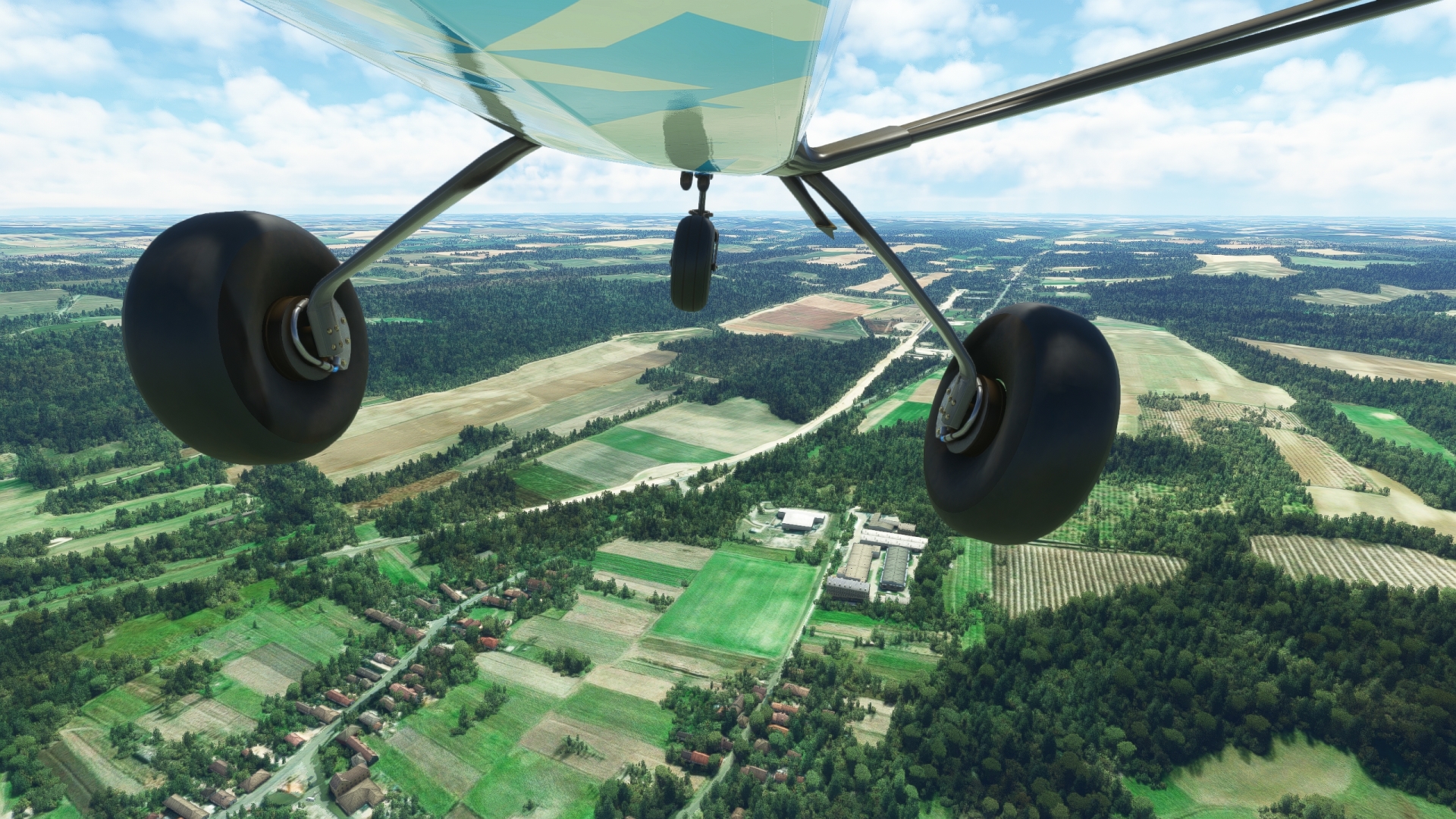
Somogytur(SOMO) to Mernye(MERN)
Distance: 12.14NM Bearing: 165° 6 minutes
Continue on a south heading, following Road 67, to the village of Mernye, which lies deep in the heart of Somogy County.
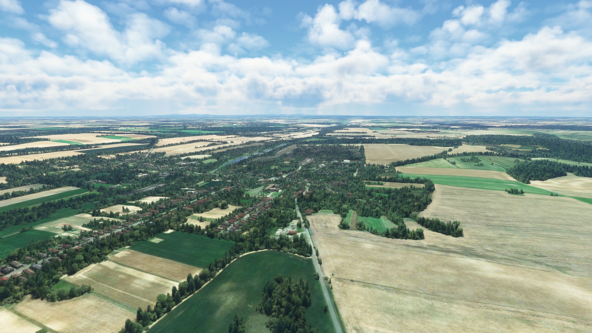
Mernye(MERN) to Kaposvar(KAPO)
Distance: 8.84NM Bearing: 180° 4 minutes
Over Mernye, adjust heading slightly to the west and continue paralleling Road 67. Gain a visual on a long, narrow lake, Lake Deseda. The lake was formed in 1975 by a dam on the Deseda River. Fly over Lake Deseda to reach Kaposvár, the capital of Somogy County. The city lies at the base of a number of small hills to its south.
Celtic tribes initially inhabited the land that would become Kaposvár. The area then became part of the Roman province of Pannonia, after which it was inhabited by Germans, Slavs, Ottomans, and the Habsburgs.
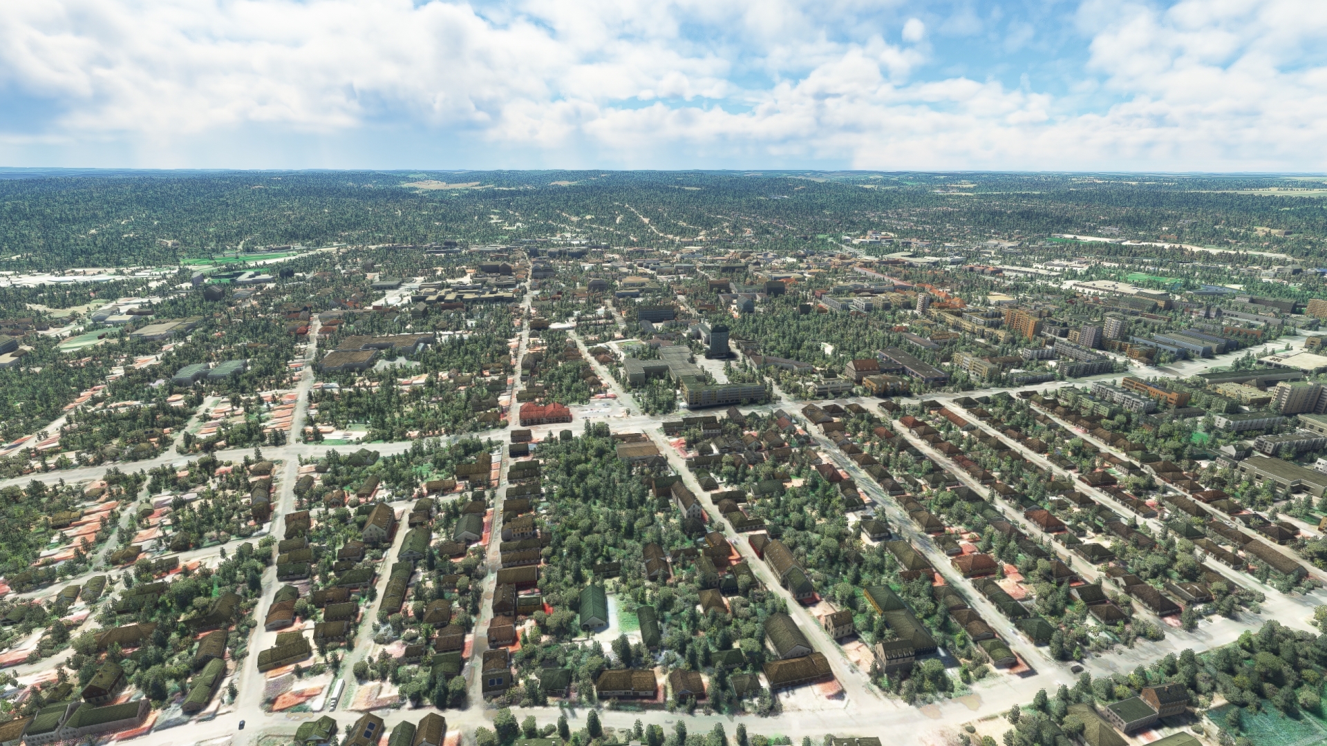
Kaposvar(KAPO) to Santos(SANT)
Distance: 3.55NM Bearing: 91° 2 minutes
From Kaposvár, follow the Kapos River to the east, to the village of Sántos.

Santos(SANT) to Godre(GODR)
Distance: 5.41NM Bearing: 131° 3 minutes
At Sántos, turn onto a southeast heading and loosely follow Road 66. Pass over low hills to reach the town of Gödre.
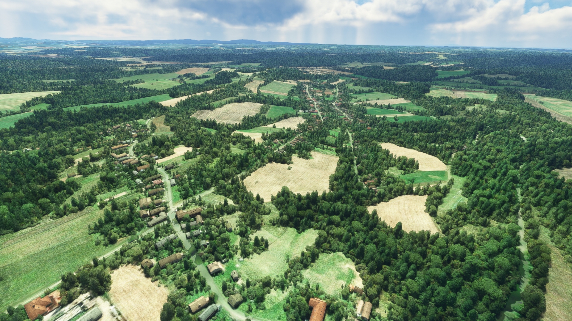
Godre(GODR) to Oroszlo(OROS)
Distance: 7.5NM Bearing: 118° 4 minutes
Continue on a southeast heading, loosely following Road 66. Remain south of the town of Sásd, and then sight the village of Oroszló. For visual reference, Road 66 passes through Oroszló on a roughly north-south pathway. The region is filled with pastoral vistas of hills and agriculture fields.

Oroszlo(OROS) to Lake Pecs(LAKP)
Distance: 3.97NM Bearing: 165° 2 minutes
Turn onto a course just slightly east of due south at Oroszló. Fly over the rolling, forested hills of the Mecsec Mountain Range to Lake Pécs.

Lake Pecs(LAKP) to Pecs(PECS)
Distance: 6.34NM Bearing: 136° 3 minutes
Change heading to the southeast and sight the city of Pécs, located on the southern periphery of the Mecsec Mountain Range. The city originated with Celtic settlements and then Roman influence. In subsequent centuries, it was influenced by the Ottomans and Germans. It is noteworthy as the home of the University of Pécs, which traces its lineage to 1367 and is thus one of the oldest universities in Europe. Pécs also has the distinction of being one of the European Capital of Culture cities, a designation bestowed upon it due to its rich cultural diversity.

Pecs(PECS) to Pecs-Pogany International Airport(LHPP)
Distance: 5.03NM Bearing: 170° 2 minutes
From Pécs, turn into a due south heading and sight Pécs-Pogány International Airport and land, bringing this exploration of Slovakia and Hungary to a close.
