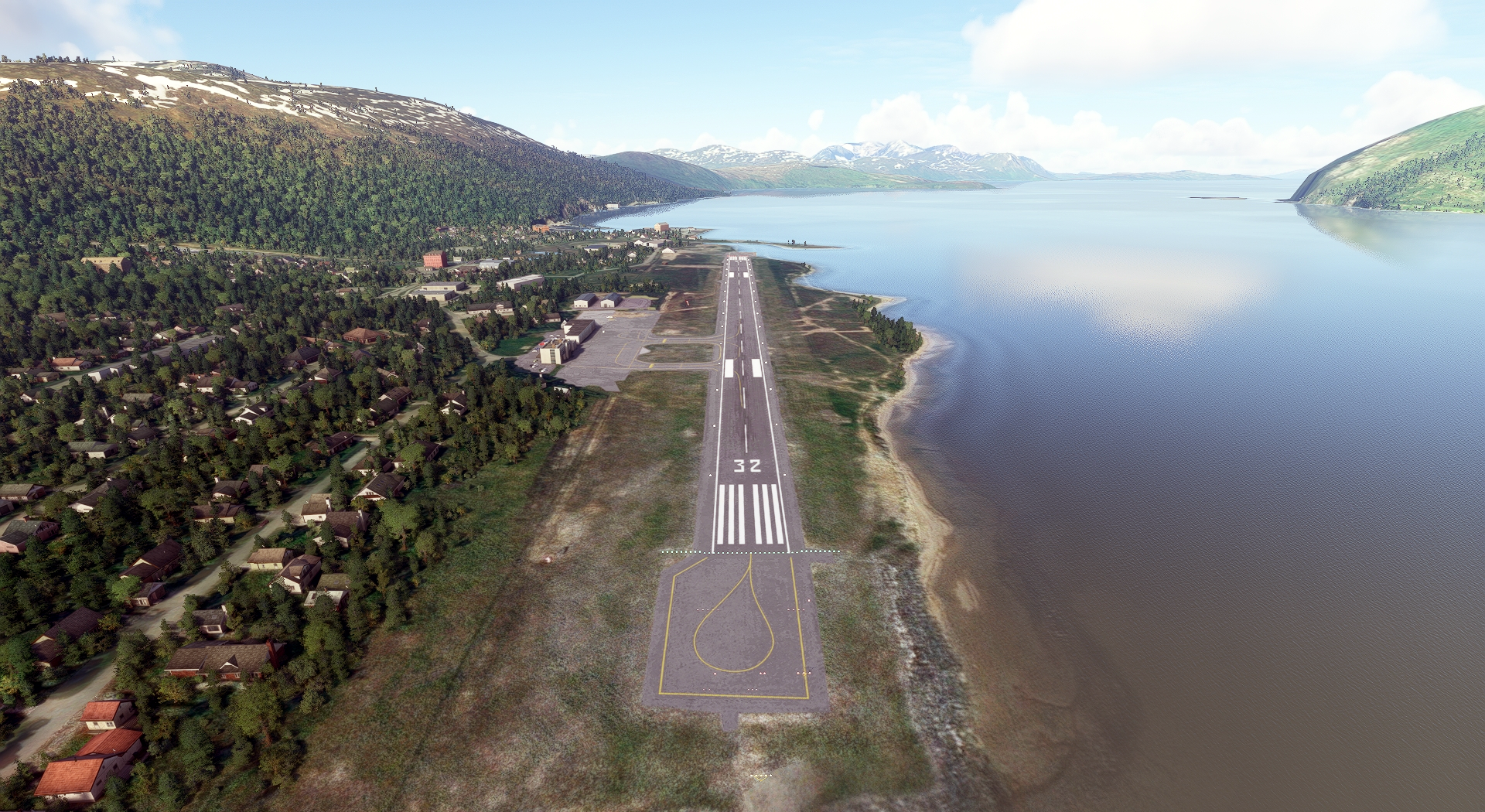
In this magnificent flight tour of Norway, you’ll feast your eyes on an incredible range of inspiring, exhilarating sights.
You’ll fly past massive sheer-walled fjords, ranges of glacially-carved peaks, and some of the world’s greatest feats of architecture, both modern and centuries-old.
You’ll experience these thrilling sights in a sporty Beechcraft Bonanza G36, an ideally suited aircraft for this unforgettable Nordic adventure.
Assistance on the trip will be available in the form of a ‘Back on Track’ button on the VFR Map — however, be advised that using this will disable achievements tied to the activity.
Total Legs: 14 Total Distance: 1206 Total Time(125kts): 9 hours 38 minutes
Leg 1
Gardermoen to Gullknapp
Leg Distance: 133.24 Approximate time at 125kts: 64 minutes.
Gardermoen(ENGM) to Intility Arena(POI1)
Distance: 18.78NM Bearing: 203° 9 minutes
Take off from Oslo Airport and head south-southwest for 18.8 nautical miles and you’ll fly over Intility Arena, a beautiful, modern sports stadium.
Intility Arena(POI1) to Oslo Opera House(POI2)
Distance: 1.73NM Bearing: 243° 1 minutes
Just to the southwest you’ll pass the Oslo Opera House, home of the Norwegian National Opera and Ballet and one of the most striking feats of modern architecture in the world.
Oslo Opera House(POI2) to Royal Palace(POI3)
Distance: 0.99NM Bearing: 303° 0 minutes
Turn to the northwest and you’ll fly past The Royal Palace, the home of the sitting Norwegian monarch.
Royal Palace(POI3) to Drammen(POI4)
Distance: 18.81NM Bearing: 232° 9 minutes
Turn toward the southwest and fly for 18.8 nautical miles to the port city of Drammen, which boasts a number of spectacular buildings and is set amid a dramatic natural setting.
Drammen(POI4) to Norsjo(POI5)
Distance: 38.96NM Bearing: 211° 19 minutes
Continue for 39 nautical miles to Norsjø, a long, slender lake surrounded by lush forest.
Norsjo(POI5) to Solhomfjell Naturreservat(POI6)
Distance: 26.22NM Bearing: 229° 13 minutes
26 nautical miles farther brings you to Solhomfjell Naturreservat, a nature reserve that comprises over a dozen mountains, including Solhomfjell, which stands 2,149 feet above sea level.
Solhomfjell Naturreservat(POI6) to Brekka(POI7)
Distance: 24.17NM Bearing: 175° 12 minutes
Fly south for 24 nautical miles to the quaint village of Brekka, which is set amid forest, open fields, and enchanting lakes.
Brekka(POI7) to Gullknapp(ENGK)
Distance: 3.58NM Bearing: 235° 2 minutes
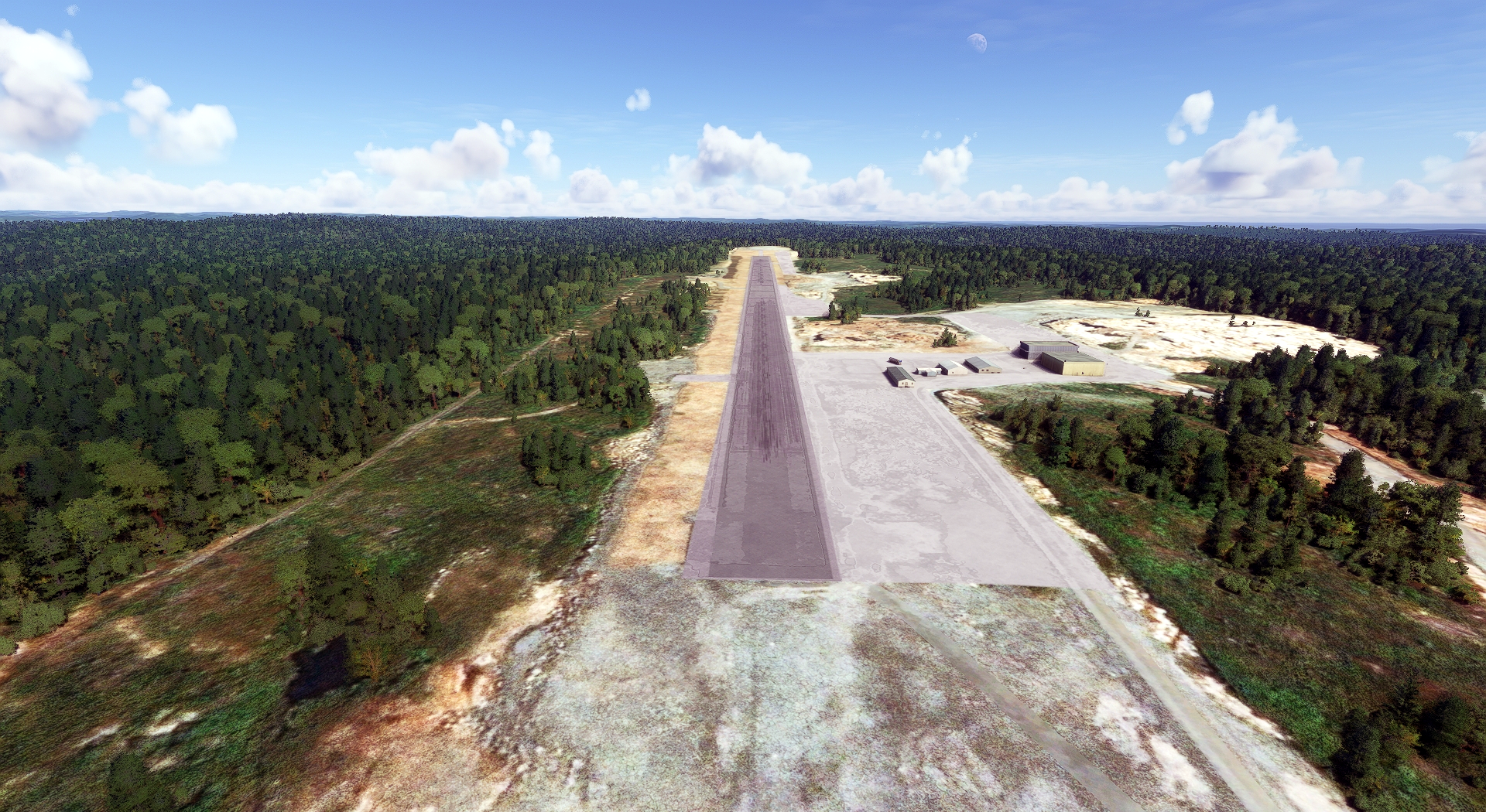
Land at Arendal Airport, just to the southwest of Brekka.
Leg 2
Gullknapp to Lista
Leg Distance: 77.21 Approximate time at 125kts: 37 minutes.
Gullknapp(ENGK) to Sparebanken Sor Arena(POI8)
Distance: 30.63NM Bearing: 221° 15 minutes
Once in the air again, set a course to the southwest and in 31 nautical miles you’ll pass the Sparebanken Sǿr Arena on the shore of the beautiful Topdals Fjord.
Sparebanken Sor Arena(POI8) to Kristiansand(POI9)
Distance: 2.51NM Bearing: 239° 1 minutes
Just a bit farther you'll reah the coastal city of Kristiansand, a renowned tourist destination in Norway.
Kristiansand(POI9) to Mandal(POI10)
Distance: 17.33NM Bearing: 245° 8 minutes
From Kristiansand, fly southwest to Mandal, a wonderful town located at the mouth of the Mandal River.
Mandal(POI10) to Farsund(POI11)
Distance: 21.27NM Bearing: 273° 10 minutes
21 nautical miles west-northwest of Mandal lies Farsund, a coastal city in the far southwestern part of Norway.
Farsund(POI11) to Lista(ENLI)
Distance: 5.47NM Bearing: 288° 3 minutes
Continue 5.5 nautical miles to Farsund Airport and land to complete this leg of the journey.

Leg 3
Lista to Sola
Leg Distance: 73.36 Approximate time at 125kts: 35 minutes.
Lista(ENLI) to Orsdalsvatnet Lake(POI12)
Distance: 34.65NM Bearing: 341° 17 minutes
Lift your Bonanza G36 into the sky and fly northwest for 35 nautical miles to the long, narrow Ørsdalsvatnet Lake.
Orsdalsvatnet Lake(POI12) to Preikestolen(POI13)
Distance: 20.32NM Bearing: 345° 10 minutes
Continue to the dizzying Preikestolen (also known as Pulpit Rock), a cliff that towers more than a thousand feet above the waters of Lysefjord beneath it.
Preikestolen(POI13) to Viking Stadion(POI14)
Distance: 14.68NM Bearing: 251° 7 minutes
14.7 nautical miles of travel to the west-southwest brings you to Viking Stadion.
Viking Stadion(POI14) to Sola(ENZV)
Distance: 3.71NM Bearing: 233° 2 minutes
Continue a little farther and land at Stavanger Airport.

Leg 4
Sola to Flesland
Leg Distance: 95.48 Approximate time at 125kts: 46 minutes.
Sola(ENZV) to Haugesund(POI15)
Distance: 32.81NM Bearing: 339° 16 minutes
Once in the sky again, aim north-northwest and in 33 nautical miles you’ll reach the coastal city of Haugesund.
Haugesund(POI15) to Leirvik(POI16)
Distance: 23.71NM Bearing: 13° 11 minutes
The small city of Leirvik lies 24 nautical miles north-northeast from Haugesund on the southern coast of the island of Stord.
Leirvik(POI16) to Bjornafjorden(POI17)
Distance: 22.04NM Bearing: 12° 11 minutes
Continuing for another 22 nautical miles brings you over the heart of the large, scenic Bjørnafjorden.
Bjornafjorden(POI17) to Flesland(ENBR)
Distance: 16.92NM Bearing: 302° 8 minutes
Fly northwest and land at Bergen Airport.

Leg 5
Flesland to Haukasen
Leg Distance: 83.27 Approximate time at 125kts: 40 minutes.
Flesland(ENBR) to Brann Stadion(POI18)
Distance: 6.05NM Bearing: 41° 3 minutes
Once in the air, point your Bonanza northeast and head to Brann Stadion, located at the base of Ulriken, the highest of Norway's fabled Seven Mountains.
Brann Stadion(POI18) to Bryggen(POI19)
Distance: 2.09NM Bearing: 328° 1 minutes
Just to the north lies Bryggen, a series of historic buildings so architecturally and historically significant that the United Nations named them a World Cultural Heritage site.
Bryggen(POI19) to Vossevangen(POI20)
Distance: 34.85NM Bearing: 64° 17 minutes
Journey 35 nautical miles to the northeast to Vossevangen, a town that lies on the shore of the lake Vangsvatnet.
Vossevangen(POI20) to Naeroyfjord(POI21)
Distance: 28.93NM Bearing: 37° 14 minutes
Northeast of Vossevangen lies the inspirational Nærøyfjord, a long, narrow fjord renowned for its stunning beauty and listed as a United National World Heritage Site.
Naeroyfjord(POI21) to Aurlandsfjord(POI22)
Distance: 6.05NM Bearing: 348° 3 minutes
Just north of Nærøyfjord is Aurlandsfjord, another of Norway’s great natural spectacles.
Aurlandsfjord(POI22) to Haukasen(ENSG)
Distance: 5.3NM Bearing: 39° 3 minutes
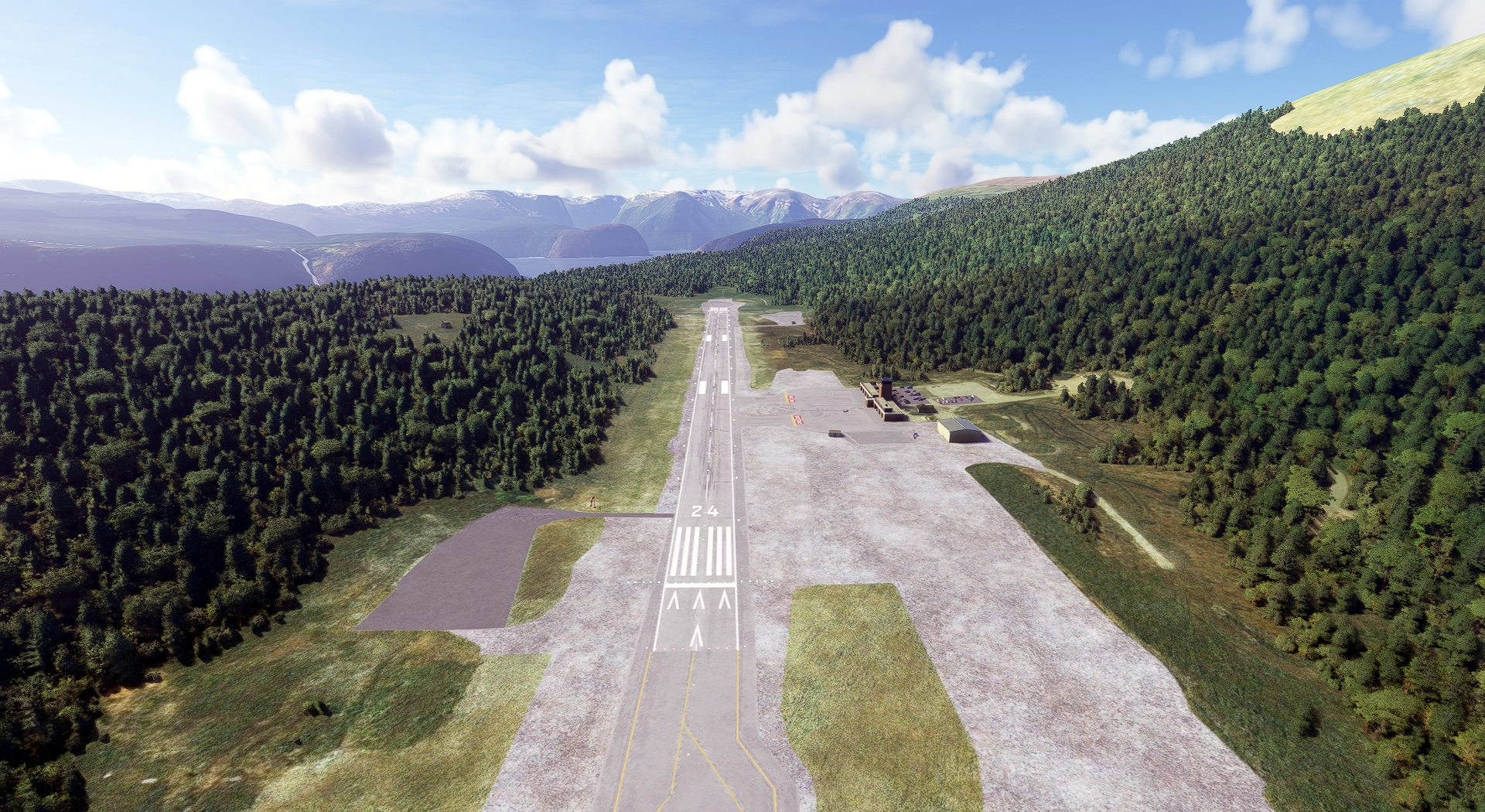
Fly 5.3 nautical miles to the northeast and land at Sogndal Airport.
Leg 6
Haukasen to Vigra
Leg Distance: 102.94 Approximate time at 125kts: 49 minutes.
Haukasen(ENSG) to Sognefjord(POI23)
Distance: 12.05NM Bearing: 28° 6 minutes
From Sogndal Airport, fly 12 nautical miles northeast, to a point deep within Sognefjord, the largest and deepest fjord in Norway.
Sognefjord(POI23) to Jostedalsbreen(POI24)
Distance: 21.69NM Bearing: 318° 10 minutes
Turn northwest and fly to Jostedalsbreen, the largest glacier in continental Europe at 37 miles in length.
Jostedalsbreen(POI24) to Faleidfjorden(POI25)
Distance: 16.71NM Bearing: 340° 8 minutes
Journey north 16.7 nautical miles to Faleidfjorden, another of the incredible natural wonders of Norway.
Faleidfjorden(POI25) to Geirangerfjord(POI26)
Distance: 15.57NM Bearing: 27° 7 minutes
Geirangerfjord, one of Norway’s most famous landmarks and another of its United Nations World Heritage Sites, lies to the northeast.
Geirangerfjord(POI26) to Alesund(POI27)
Distance: 28.24NM Bearing: 317° 14 minutes
The beautiful coastal city of Ålesund awaits 28 nautical miles northwest of Geirangerfjord.
Alesund(POI27) to Vigra(ENAL)
Distance: 8.68NM Bearing: 312° 4 minutes
Fly northwest and land at Ålesund Airport.

Leg 7
Vigra to Kvernberget
Leg Distance: 65.01 Approximate time at 125kts: 31 minutes.
Vigra(ENAL) to Romsdalsfjorden(POI28)
Distance: 30.21NM Bearing: 77° 15 minutes
Set a course for Romsdalsfjorden, the ninth longest fjord in Norway, 30 nautical miles east of Ålesund Airport.
Romsdalsfjorden(POI28) to Fraenfjorden(POI29)
Distance: 9.77NM Bearing: 0° 5 minutes
Just under ten nautical miles north is the gorgeous Frænfjorden.
Fraenfjorden(POI29) to Kvernesfjorden(POI30)
Distance: 9.22NM Bearing: 46° 4 minutes
Fly northeast 9.2 nautical miles to Kvernesfjorden, another of the country’s great fjords.
Kvernesfjorden(POI30) to Kvernberget(ENKB)
Distance: 15.81NM Bearing: 36° 8 minutes
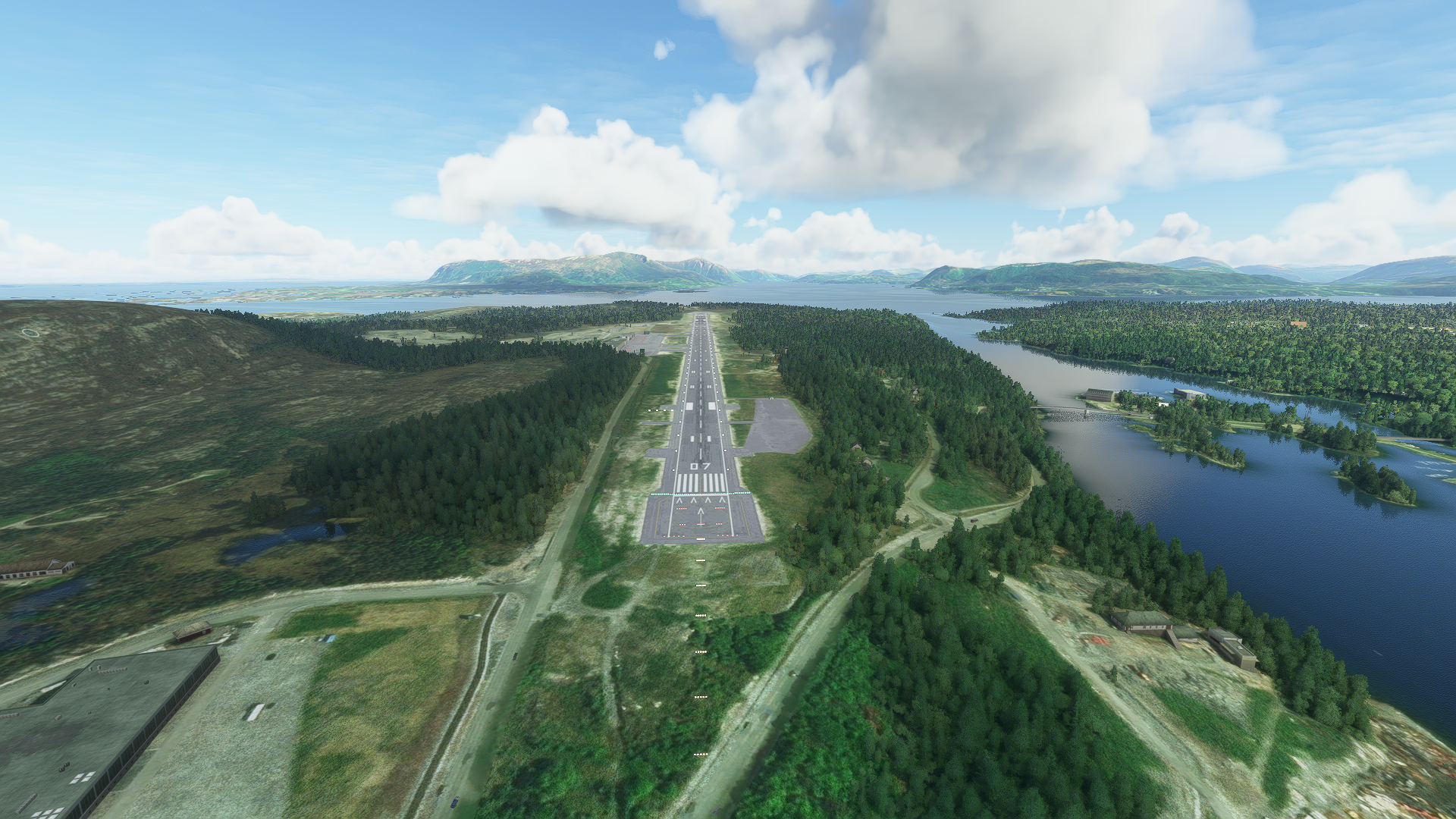
Continue on your heading and then touch down at Kristiansund Airport.
Leg 8
Kvernberget to Flatval
Leg Distance: 43.67 Approximate time at 125kts: 21 minutes.
Kvernberget(ENKB) to Edoyfjorden(POI31)
Distance: 6.98NM Bearing: 26° 3 minutes
Lift into the sky again and fly to the northeast to the spectacular Edøyfjorden.
Edoyfjorden(POI31) to Ramsoyfjorden(POI32)
Distance: 15.04NM Bearing: 26° 7 minutes
Continue to Ramsøyfjorden, one of Norway’s shorter, wider fjords.
Ramsoyfjorden(POI32) to Froyfjorden(POI33)
Distance: 15.38NM Bearing: 32° 7 minutes
Fly a bit farther on your northeast course and you’ll reach the relatively small Frøyfjorden.
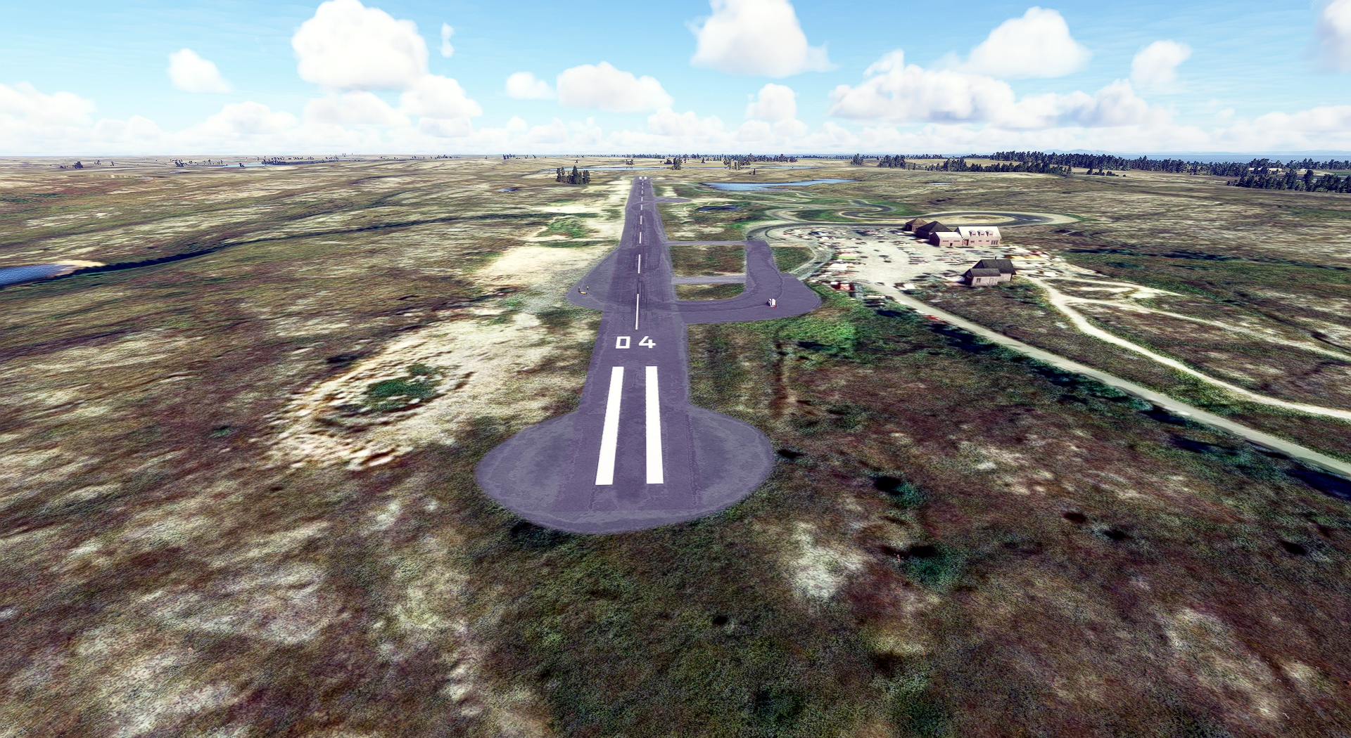
Froyfjorden(POI33) to Flatval(ENFA)
Distance: 6.27NM Bearing: 50° 3 minutes
Bring your Bonanza down at Froya Flatval Airport.
Leg 9
Flatval to Ryum
Leg Distance: 101.55 Approximate time at 125kts: 49 minutes.
Flatval(ENFA) to Indtian(POI34)
Distance: 4NM Bearing: 60° 2 minutes
Just east of Froya Flatval Airport is Indtian, a small, beautiful island.
Indtian(POI34) to Tarvafjorden(POI35)
Distance: 15.37NM Bearing: 76° 7 minutes
15.4 nautical miles to the east of Indtian is the beautiful Tarvafjorden.
Tarvafjorden(POI35) to Sorjerfjorden(POI36)
Distance: 38.69NM Bearing: 34° 19 minutes
Guide your Bonanza to the northeast for 39 nautical miles of stunning coastline to Sørjerfjorden.
Sorjerfjorden(POI36) to Otteroya(POI37)
Distance: 27.06NM Bearing: 44° 13 minutes
Continue for another 27 nautical miles to the island of Otterøya.
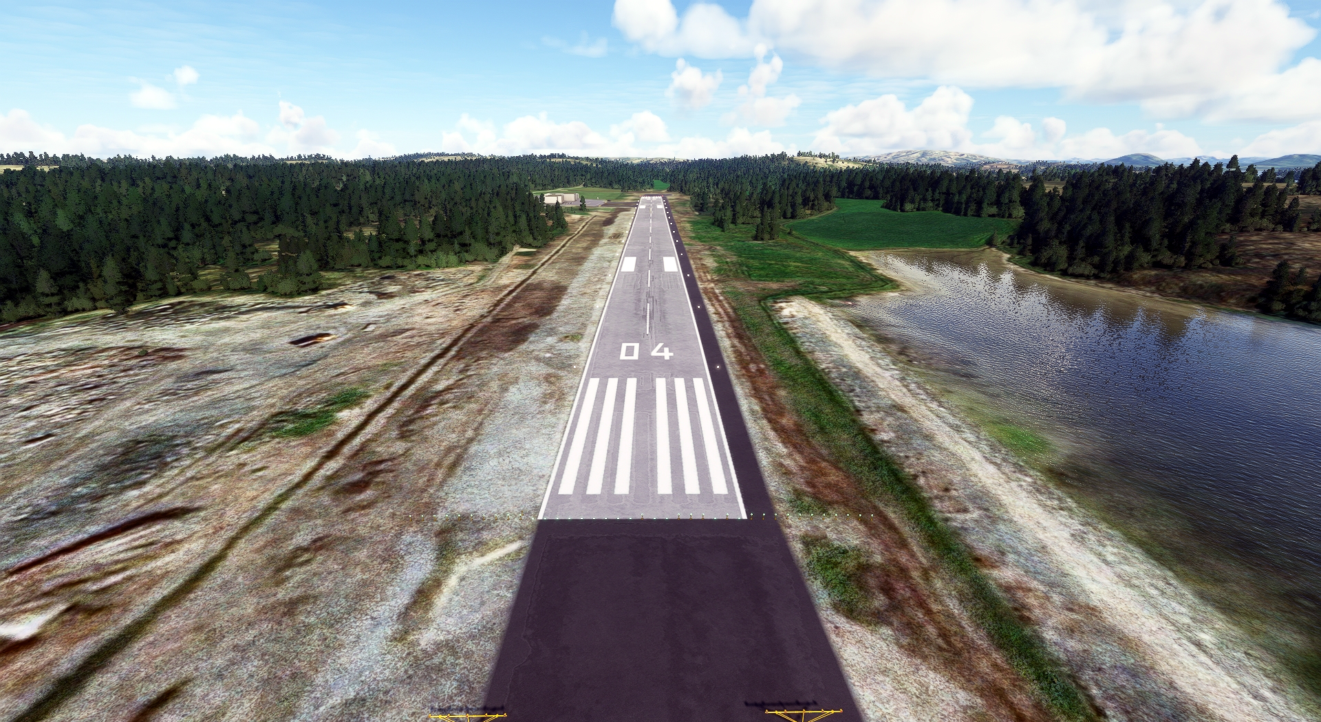
Otteroya(POI37) to Ryum(ENRM)
Distance: 16.43NM Bearing: 351° 8 minutes
This leg of the tour comes to an end at Rørvik Airport, just over 16 nautical miles to the north of Otterøya.
Leg 10
Ryum to Stokka
Leg Distance: 76.76 Approximate time at 125kts: 37 minutes.
Ryum(ENRM) to Rorvik(POI38)
Distance: 2.71NM Bearing: 50° 1 minutes
The colorful seaside village of Rørvik lies just to the northeast of the airport.
Rorvik(POI38) to Leka(LEKA)
Distance: 17.08NM Bearing: 33° 8 minutes
A little more than 17 nautical miles to the northeast you’ll fly over Leka, a windswept island surrounded by dozens of smaller, uninhabited points of land.
Leka(LEKA) to Bronnoysund(POI39)
Distance: 27.08NM Bearing: 25° 13 minutes
Continue on your course for 27 nautical miles, much of it over open water, to the small town of Brønnøysund.
Bronnoysund(POI39) to Tjotta(POI40)
Distance: 21.71NM Bearing: 8° 10 minutes
The village of Tjøtta, located on the southern end of the island of Tjøtta and surrounded by agriculture fields, lies 22 nautical miles farther up the coast.
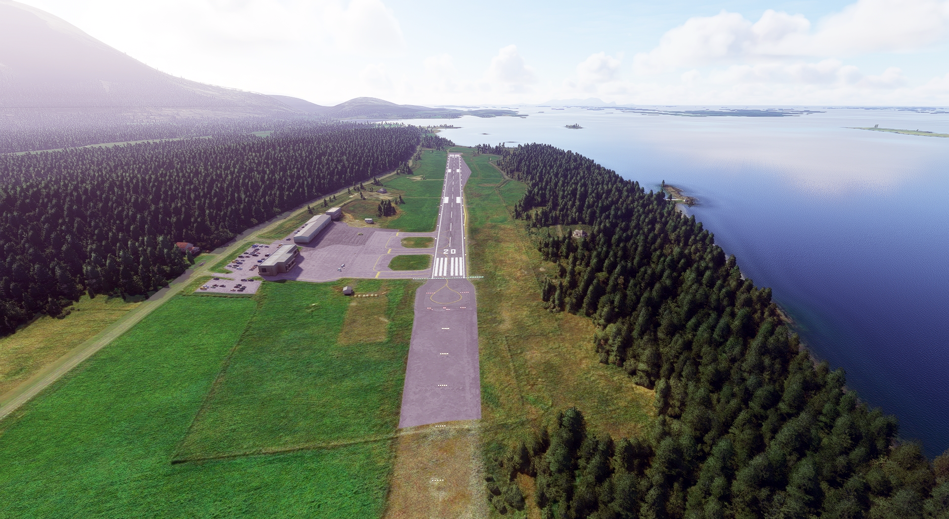
Tjotta(POI40) to Stokka(ENST)
Distance: 8.18NM Bearing: 2° 4 minutes
Continue north and land at Sandnessjøen Airport.
Leg 11
Stokka to Bodo
Leg Distance: 91.37 Approximate time at 125kts: 44 minutes.
Stokka(ENST) to Tomma(POI41)
Distance: 19.35NM Bearing: 18° 9 minutes
From Sandnessjøen Airport, lift your Bonanza G36 into the northern sky and set a course north-northeast for the island of Tomma.
Tomma(POI41) to ARCTIC CIRCLE(POI42)
Distance: 19.91NM Bearing: 15° 10 minutes
Continue on your course past Tomma and you’ll cross the Arctic Circle in just under 20 nautical miles.
ARCTIC CIRCLE(POI42) to Scarsfjorden(POI43)
Distance: 12.18NM Bearing: 18° 6 minutes
You’ll then reach Skarsfjorden after a bit more flying over this increcible northern landscape.
Scarsfjorden(POI43) to Meloyfjorden(POI44)
Distance: 5.12NM Bearing: 34° 2 minutes
Fly over a short range of mountains to reach Meløyfjorden.
Meloyfjorden(POI44) to Fugloyfjorden(POI45)
Distance: 18.31NM Bearing: 28° 9 minutes
You’ll soon lay your eyes on Fugløyfjorden, a tremendous fjord that is set amid stunning mountains.
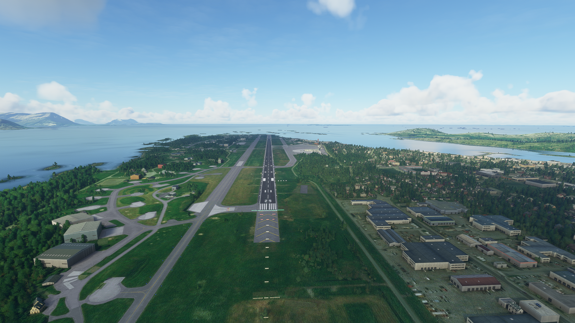
Fugloyfjorden(POI45) to Bodo(ENBO)
Distance: 16.5NM Bearing: 32° 8 minutes
Continue northeast and bring your Bonanza back to the ground at Bodø Airport.
Leg 12
Bodo to Helle
Leg Distance: 61.46 Approximate time at 125kts: 30 minutes.
Bodo(ENBO) to Bodo(BOD?)
Distance: 2.23NM Bearing: 50° 1 minutes
Once in the air again, head to the northeast and you'll soon be over Bodø, the second largest city in North Norway.
Bodo(BOD?) to Landegodefjorden(POI46)
Distance: 6.11NM Bearing: 0° 3 minutes
From Bodø, fly north and pass over the frigid waters of Landegodefjorden.
Landegodefjorden(POI46) to Karlsoyfjorden(POI47)
Distance: 11.29NM Bearing: 25° 5 minutes
Your journey then brings you to Karlsøyfjorden, with views of wind- and wave-lashed coastline for miles in all directions.
Karlsoyfjorden(POI47) to Skrova(POI48)
Distance: 37.3NM Bearing: 349° 18 minutes
Aim north and fly for 37 nautical miles, much of it over open water, to the tiny fishing village of Skrova.
Skrova(POI48) to Helle(ENSH)
Distance: 4.53NM Bearing: 354° 2 minutes
Land at Svolvær Airport, just north of Skrova.
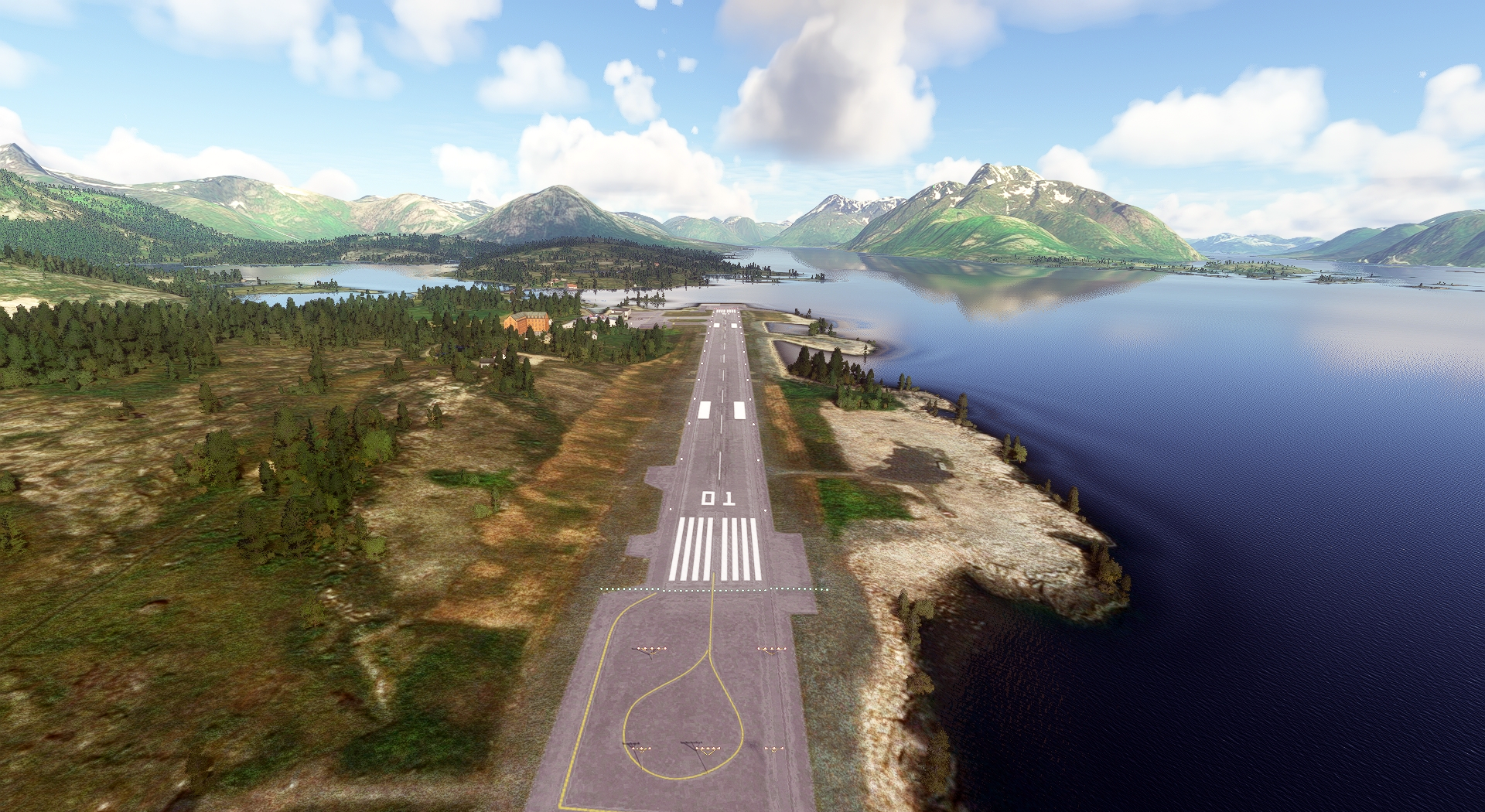
Leg 13
Helle to Tromso
Leg Distance: 132.15 Approximate time at 125kts: 63 minutes.
Helle(ENSH) to Oyhellsundet(POI49)
Distance: 3.67NM Bearing: 48° 2 minutes
Once in the sky out of Svolvær Airport, head northeast and you’ll traverse the narrow strait Øyhellsundet.
Oyhellsundet(POI49) to Ingelsfjorden(POI50)
Distance: 14.94NM Bearing: 29° 7 minutes
Pass soaring peaks to your west and you’ll soon be over the cold waters of Ingelsfjorden.
Ingelsfjorden(POI50) to Sigerfjiorden(POI51)
Distance: 11.39NM Bearing: 22° 5 minutes
Fly for 11.4 nautical miles to the northeast and reach Sigerfjiorden.
Sigerfjiorden(POI51) to Sorfjorden(POI52)
Distance: 6.02NM Bearing: 42° 3 minutes
Continue northeast to the fjord Sørfjorden.
Sorfjorden(POI52) to Godfjorden(POI53)
Distance: 3.25NM Bearing: 34° 2 minutes
A short distance over a narrow line of peaks lies Godfjorden, which is set amid a massive sweep of mountains.
Godfjorden(POI53) to Harstad(POI54)
Distance: 15.81NM Bearing: 69° 8 minutes
Just under 16 nautical miles to the northeast is the city of Harstad.
Harstad(POI54) to Dyroya(POI55)
Distance: 25.08NM Bearing: 44° 12 minutes
Continue northeast and in 25 nautical miles you’ll pass over the island of Dyrøya.
Dyroya(POI55) to Malangen(POI56)
Distance: 31.47NM Bearing: 33° 15 minutes
Continuing on your course, you'll soon reach Malangen, a stunning, 37-mile-long fjord.
Malangen(POI56) to Balsfjorden(POI57)
Distance: 11.37NM Bearing: 48° 5 minutes
Pass over a few lines of mountains and you’ll be at Balsfjorden.
Balsfjorden(POI57) to Tromso(ENTC)
Distance: 9.15NM Bearing: 351° 4 minutes
Head due north and land at Tromsø Airport.

Leg 14
Tromso to Sorkjosen
Leg Distance: 68.12 Approximate time at 125kts: 33 minutes.
Tromso(ENTC) to Ullsfjorden(POI58)
Distance: 17.37NM Bearing: 82° 8 minutes
From Tromsø Airport, head due east and you’ll be treated to wonderful views of Ullsfjorden.
Ullsfjorden(POI58) to Lyngen(POI59)
Distance: 13.28NM Bearing: 109° 6 minutes
Just over 13 nautical miles to the southeast lies Lyngen, a 51-mile-long fjord set amid vast sweeps of pristine wilderness.
Lyngen(POI59) to Vorteroya(POI60)
Distance: 25.34NM Bearing: 5° 12 minutes
Fly to the northeast for 25 nautical miles over an incredible landscape of coast, lakes, rivers, and mountains to the island of Vorterøya, which lies at a latitude of nearly 70 degrees north
Vorteroya(POI60) to Sorkjosen(ENSR)
Distance: 12.13NM Bearing: 137° 6 minutes
Turn southeast and in just over 12 nautical miles land at Sørkjosen Airport, the end of this great Norwegian aerial odyssey.
