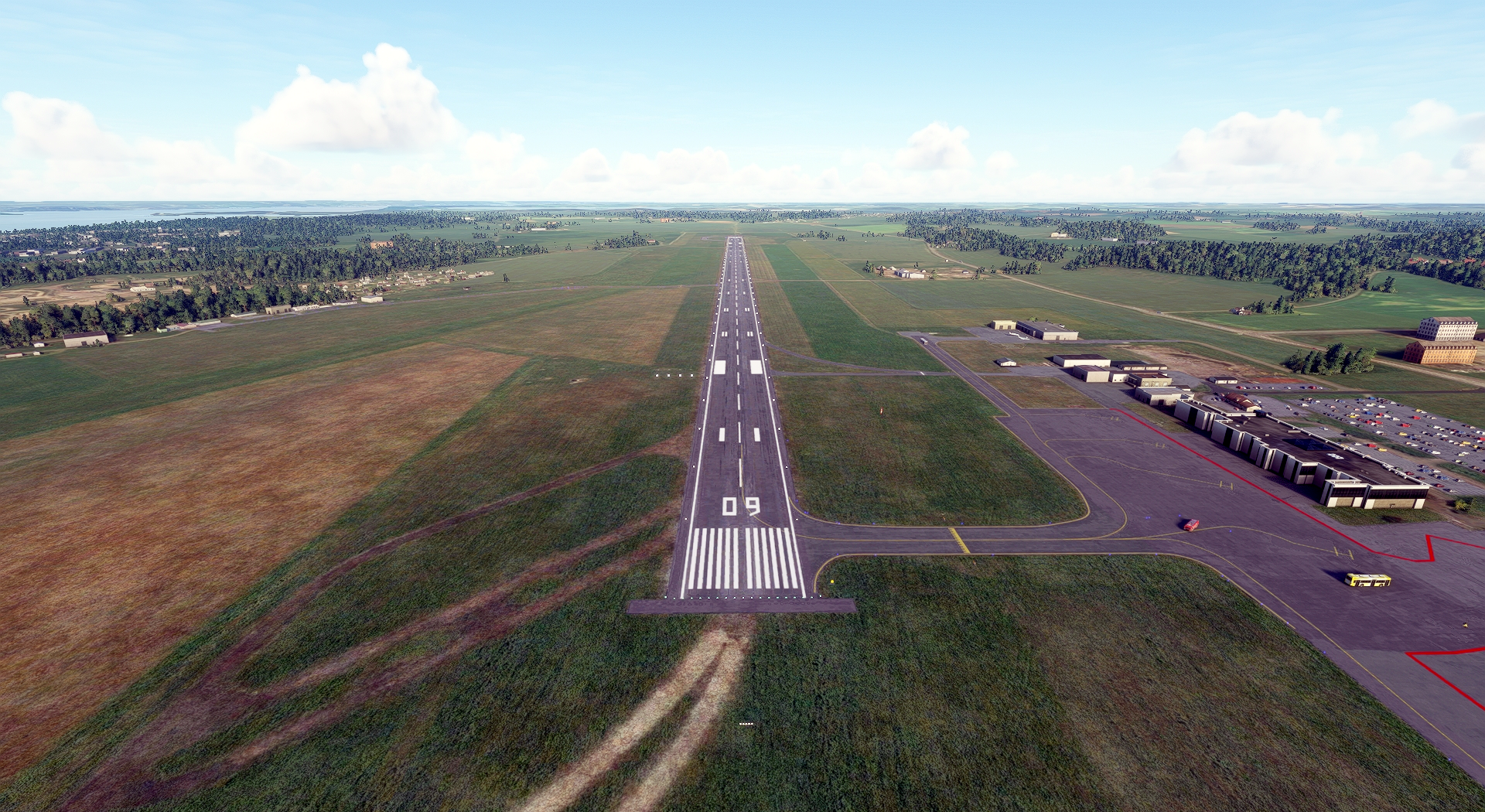
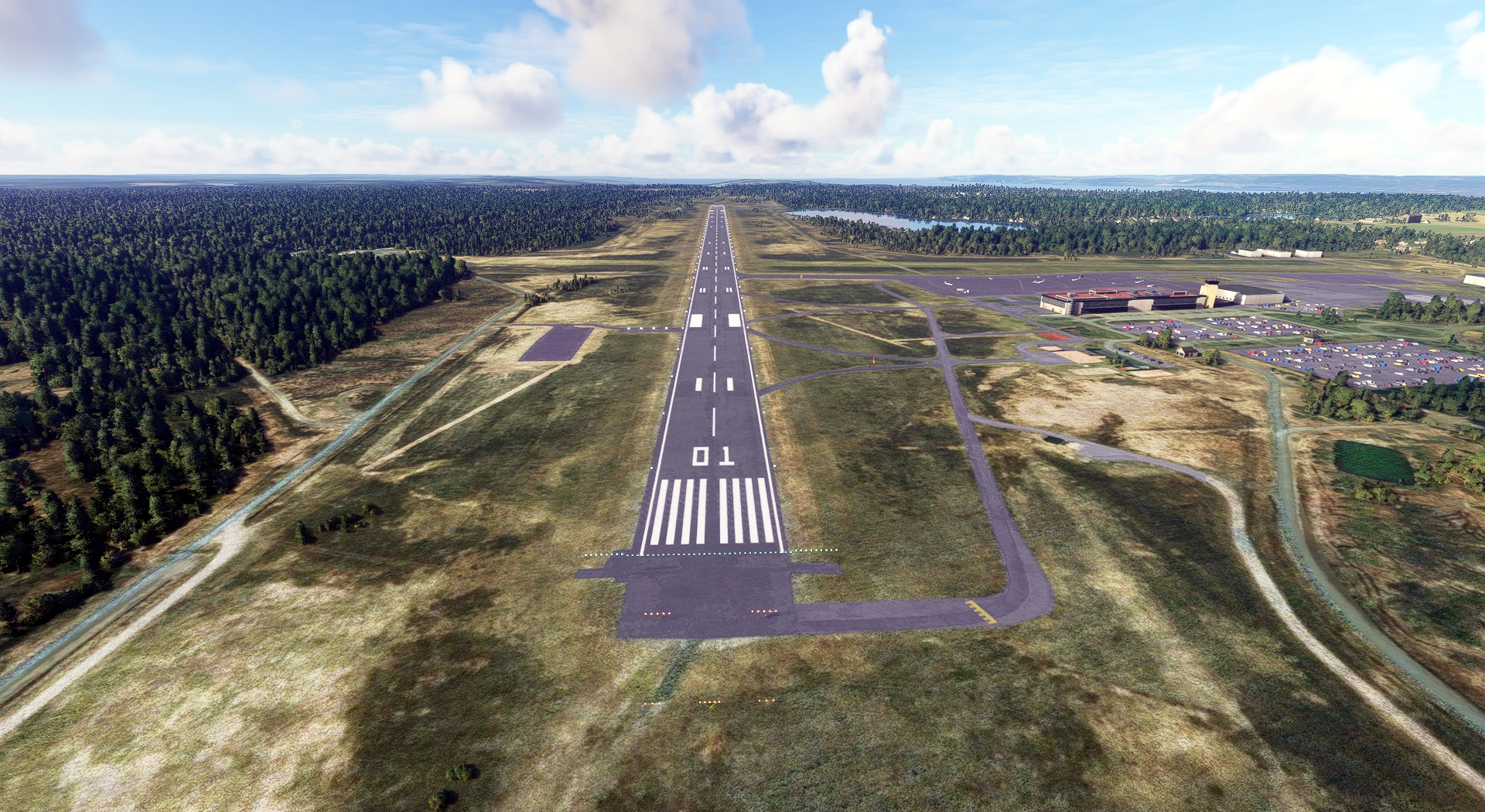
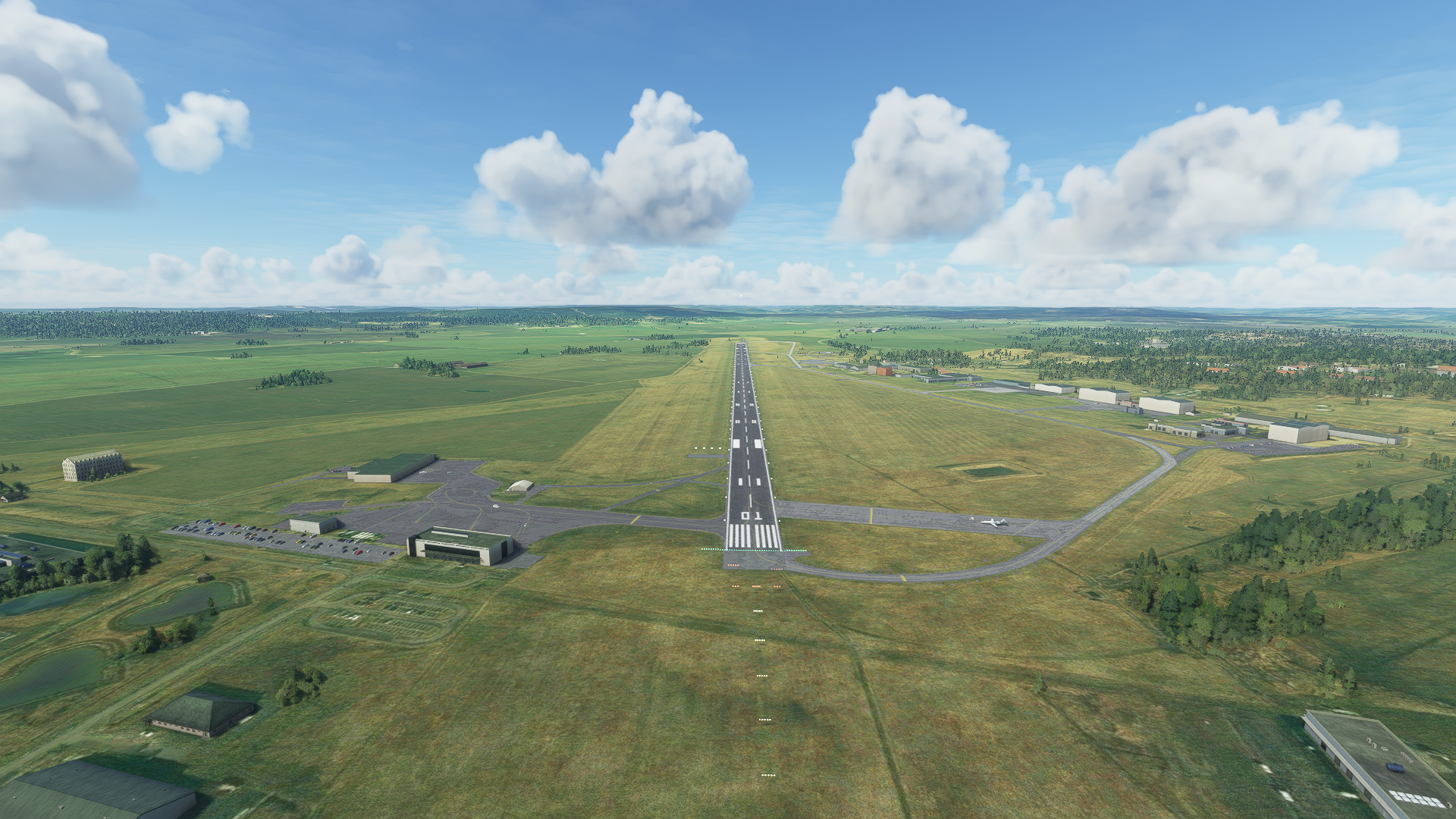
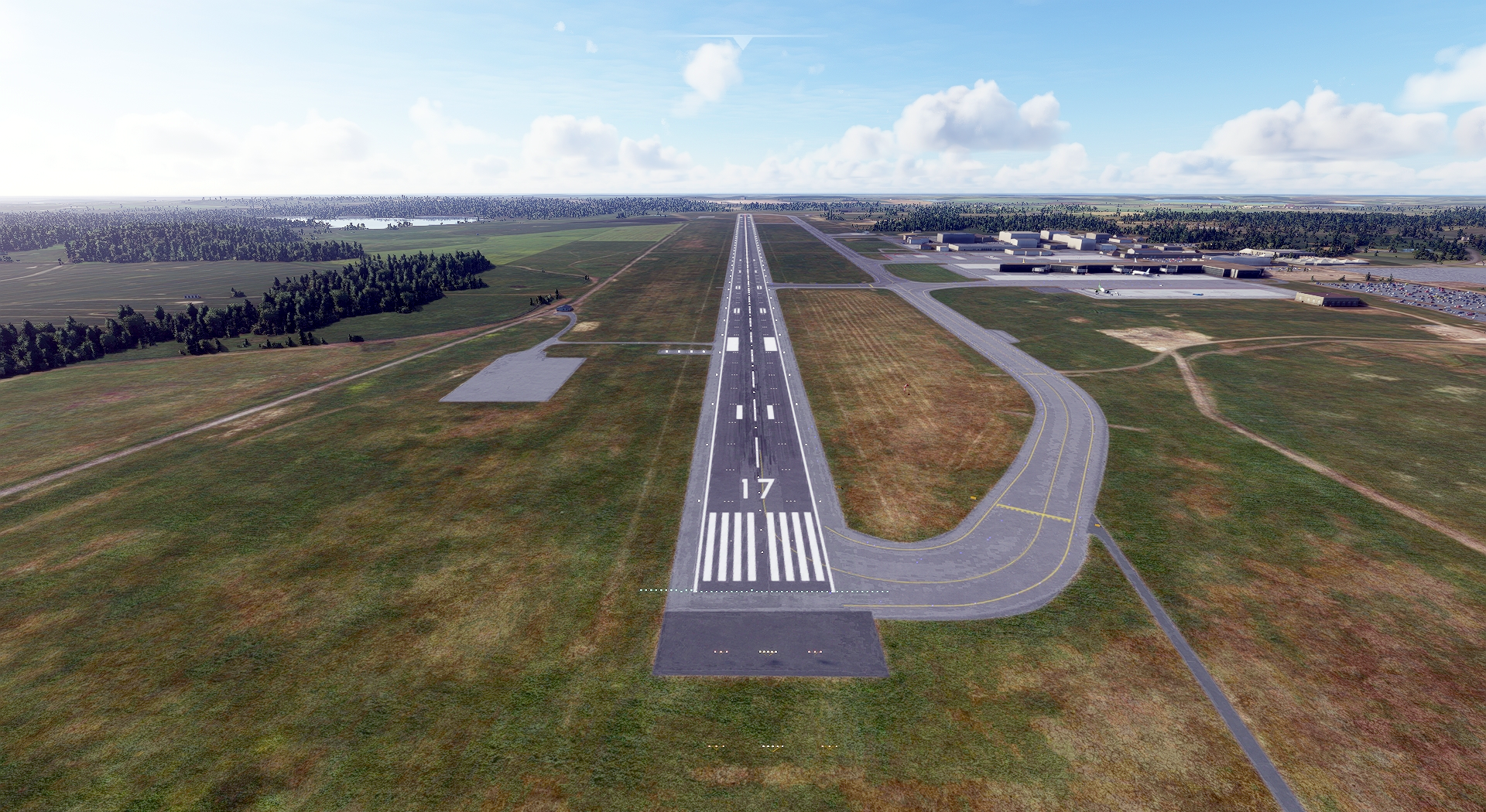
This enthralling flight will traverse the beautiful southern portion of Sweden, beginning just north of Stockholm and ending at the southern extremity of the country.
You’ll be treated to a tremendous array of stunning sights, including gorgeous coastlines, broad sweeps of lush forest, and exquisite architecture.
You’ll embark on this tour in a Diamond DA40 NG Diamond Star, an aircraft ideally suited for this exploration of Sweden due to its balance of speed, maneuverability, and cockpit views.
Assistance on the trip will be available in the form of a ‘Back on Track’ button on the VFR Map — however, be advised that using this will disable achievements tied to the activity.
Total Legs: 5 Total Distance: 420 Total Time(125kts): 3 hours 21 minutes
Leg 1
Arlanda to Kungsangen
Leg Distance: 94.64 Approximate time at 125kts: 45 minutes.
Arlanda(ESSA) to Friends Arena(POI1)
Distance: 16.76NM Bearing: 167° 8 minutes
Your journey begins at Stockholm Arlanda Airport, just north of the Swedish capital. Lift into the air and set a course south toward the renowned Friends Arena, which lies just to the north of Stockholm.
Friends Arena(POI1) to Royal Swedish Opera(POI2)
Distance: 3.36NM Bearing: 132° 2 minutes
From Friends Arena, aim southeast into the heart of Stockholm. You'll shortly arrive at the Royal Swedish Opera.
Royal Swedish Opera(POI2) to Stockholm Palace(POI3)
Distance: 0.17NM Bearing: 161° 0 minutes
Connected to the Royal Swedish Opera is the Stockholm Palace, residence of the country's monarch.
Stockholm Palace(POI3) to Ericsson Globe(POI4)
Distance: 2.04NM Bearing: 163° 1 minutes
Continuing south from the Stockholm Palace, you'll fly to Avicii Arena, the largest hemispherical structure on the planet.
Ericsson Globe(POI4) to Tele2 Arena(POI5)
Distance: 0.18NM Bearing: 151° 0 minutes
Immediately south of Avicii Arena lies Tele2 Arena, where you'll aim the nose of your DA40 southwest.
Tele2 Arena(POI5) to Kyrksjon(POI6)
Distance: 23.19NM Bearing: 216° 11 minutes
After crossing over swaths of lush forest, you'll sight Kyrksjön, a small lake in the western Stockholm suburb of Bromma.
Kyrksjon(POI6) to Nykoping(POI7)
Distance: 22.45NM Bearing: 222° 11 minutes
Continue southwest from Kyrksjön to the small, quaint city of Nyköping.
Nykoping(POI7) to Kungsangen(ESSP)
Distance: 26.49NM Bearing: 240° 13 minutes
This first leg of the journey comes to an end at Norrköping Airport, 26 nautical miles southwest of Nyköping.

Leg 2
Kungsangen to Jonkoping
Leg Distance: 92.7 Approximate time at 125kts: 44 minutes.
Kungsangen(ESSP) to Norrkoping(POI8)
Distance: 1.54NM Bearing: 275° 1 minutes
Head west-northwest after taking to the skies from Norrköping Airport. Reaching Norrköping, Sweden's tenth largest city by population, turn southwest.
Norrkoping(POI8) to Norsholm(POI9)
Distance: 8.76NM Bearing: 227° 4 minutes
Fly over the tiny hamlet of Norsholm, and continue onward on your course toward the southwestern coast of Sweden.
Norsholm(POI9) to Linkoping(POI10)
Distance: 12.74NM Bearing: 236° 6 minutes
Pass Linköping, the country's fifth most populous city.
Linkoping(POI10) to Boxholm(POI11)
Distance: 21.83NM Bearing: 229° 10 minutes
You'll soon pass Boxholm, a small city surrounded by dense forest.
Boxholm(POI11) to Vattern(POI12)
Distance: 20.92NM Bearing: 255° 10 minutes
From Boxholm, fly 21 nautical miles west-southwest to Vättern, a long, spindly lake that is the second largest in the country by surface area.
Vattern(POI12) to Visingso(POI13)
Distance: 5.9NM Bearing: 191° 3 minutes
Head south-southwest over the waters of Vättern and pass Visingsö, an island in the lake's southern portion, then turn southwest.
Visingso(POI13) to Habo(HABO)
Distance: 11.87NM Bearing: 219° 6 minutes
Fly just under 12 nautical miles to the town of Habo, located on the shore of Vättern, then bank your Diamond Star in a southward heading.
Habo(HABO) to Jonkoping(ESGJ)
Distance: 9.14NM Bearing: 176° 4 minutes
Land at Jönköping Airport.

Leg 3
Jonkoping to Landvetter
Leg Distance: 78.16 Approximate time at 125kts: 38 minutes.
Jonkoping(ESGJ) to Ulricehamn(POI14)
Distance: 20.9NM Bearing: 271° 10 minutes
Launch from Jönköping Airport and put your DA40 on a west-northwesterly heading over the lowlands of the area to Ulricehamn.
Ulricehamn(POI14) to Boras(BORAS)
Distance: 16.08NM Bearing: 249° 8 minutes
Fly over the patchwork of fields and forest toward historic Boras, then turn west-northwest.
Boras(BORAS) to Lerum(LERUM)
Distance: 21.49NM Bearing: 273° 10 minutes
Soar over a pastoral landscape to reach Lerum, a town that is surrounded by a beautiful nature reserve.
Lerum(LERUM) to Gothenburg(POI15)
Distance: 9.95NM Bearing: 242° 5 minutes
From Lerum, fly to the southwest to Gothenburg, the second largest city in Sweden.
Gothenburg(POI15) to Landvetter(ESGG)
Distance: 9.74NM Bearing: 100° 5 minutes
From Gothenburg, head southeast and land at Göteborg Landvetter Airport.

Leg 4
Landvetter to Halmstad AB
Leg Distance: 62.97 Approximate time at 125kts: 30 minutes.
Landvetter(ESGG) to Veddige(POI16)
Distance: 23.69NM Bearing: 171° 11 minutes
Launch from Göteborg Landvetter Airport and strike a course south. Fly just inland of the beautiful coastline until you reach the town of Veddige.
Veddige(POI16) to Falkenberg(POI17)
Distance: 22.39NM Bearing: 162° 11 minutes
Continue on your southward journey to the coastal city of Falkenberg, a beautiful tourist destination located on the river Ätran.
Falkenberg(POI17) to Halmstad AB(ESMT)
Distance: 16.89NM Bearing: 135° 8 minutes
Fly just under 17 nautical miles southeast and land at Halmstad Airport.

Leg 5
Halmstad AB to Sturup
Leg Distance: 91.72 Approximate time at 125kts: 44 minutes.
Halmstad AB(ESMT) to Halmstad(POI18)
Distance: 1.49NM Bearing: 135° 1 minutes
Pull up into the sky at Halmstad Airport in a southeasterly heading and you'll immediately pass over the city of Halmstad.
Halmstad(POI18) to Kullen Lighthouse(POI19)
Distance: 25.88NM Bearing: 206° 12 minutes
From Halmstad, fly southwest for 26 nautical miles over open water to Kullen Lighthouse, one of the most powerful in Scandinavia.
Kullen Lighthouse(POI19) to Helsingborg(POI20)
Distance: 17.21NM Bearing: 145° 8 minutes
Turn southeast and in just over 17 nautical miles you'll pass over historic Helsingborg, which was established in 1085 and is one of Sweden's oldest cities.
Helsingborg(POI20) to Landskrona(POI21)
Distance: 11.78NM Bearing: 153° 6 minutes
Continue along the coast to the port city of Landskrona, which is located on the Øresund, the strait that separates Denmark and Sweden.
Landskrona(POI21) to Oresund Bridge(POI22)
Distance: 18.47NM Bearing: 170° 9 minutes
After over 18 nautical miles of open water flying, you'll reach the beautiful Øresund Bridge, a stunning work of modern architecture.
Oresund Bridge(POI22) to Eleda Stadion(POI23)
Distance: 3.46NM Bearing: 67° 2 minutes
From Øresund Bridge, head east-northeast until you reach Eleda Stadion, located in the city of Malmö.
Eleda Stadion(POI23) to Sturup(ESMS)
Distance: 13.43NM Bearing: 99° 6 minutes
After passing Eleda Stadion, bring your Diamond Star down at Malmö Airport, the end point of this fantastic Swedish aerial voyage.

