May 15, 1918 was a big day for aviation. The U.S. Postal Service and dignitaries including President Woodrow Wilson, gathered in Washington D.C. to send off the United States'—and the world’s—first regularly scheduled public airmail.
The pilot was a young Army lieutenant, George L. Boyle, who got the job of flying the first mail run from Washington D.C., to Philadelphia because he was courting the Interstate Commerce commissioner’s daughter. He shook President Wilson’s hand, climbed aboard his Curtiss JN-4 “Jenny,” which held 140 pounds of mail in the forward cockpit, and yelled, “Contact!” The engine coughed and died. They tried again. Nothing. Finally, someone realized the airplane was out of gas. That was just the beginning.
Eventually, Boyle took off for Philadelphia, relying on road maps and a compass heading to navigate. He followed the train tracks out of Washington, as he had been instructed. As the tracks curved, however, Boyle curved, too, and soon he was flying south instead of north. He was lost. Next he ran out of gas. Just 20 minutes after takeoff, Boyle crashed his Curtiss Jenny in a Maryland farm field, and the first airmail was grounded just 25 miles from Washington D.C. Meanwhile, another mail plane, which had started in New York, powered south toward Philadelphia and Washington. This southbound Jenny successfully landed in Washington, becoming the first U.S. Postal Service airmail plane to deliver.
As you try your own hand at Lt. Boyle's historic flight, look for landmarks, just as he did. But learn from his mistake: Always remember to follow your compass heading, too. Landmarks are just that – features that let you check your navigation along a compass course.
If you find Philadelphia, you'll continue on to New York in the next flight.
Total Legs: 2 Total Distance: 186 Total Time(125kts): 1 hours 29 minutes
Leg 1
Take off and turn to heading 058 degrees. Maintain this heading for the remainder of the flight, correcting for wind drift as necessary. Follow the Anacostia River northeast.
Leg Distance: 119.83 Approximate time at 125kts: 58 minutes.
Ronald Reagan Washington National Airport(KDCA) to Baltimore International Airport(POI1)
Distance: 29.54NM Bearing: 58° 14 minutes
Take off and turn to a heading of 058 degrees. Maintain this heading for the remainder of the flight, correcting for wind drift as necessary. Follow the Anacostia River northeast.
Baltimore International Airport(POI1) to Anacostia River(POI2)
Distance: 60.05NM Bearing: 67° 29 minutes
Continue up the Anacostia river, then cross over to the Delaware river. Follow this up to your first landing.
Anacostia River(POI2) to Northeast Philladelphia Airport(KPNE)
Distance: 30.24NM Bearing: 59° 15 minutes
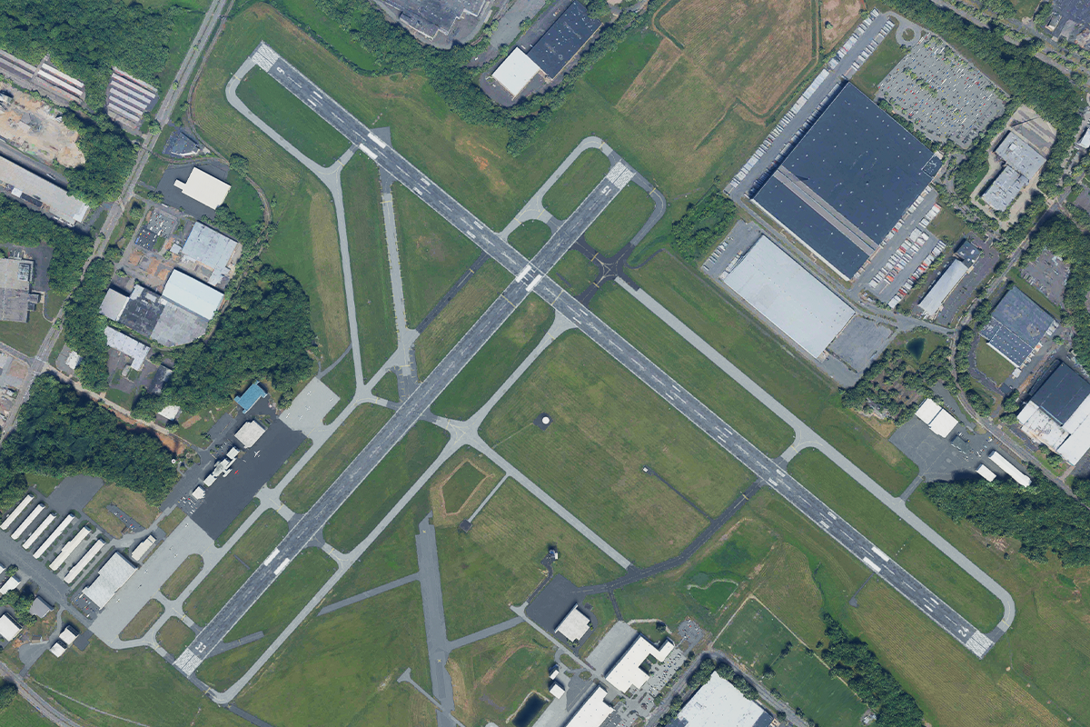
Continue up the Delaware River. Philadelphia Airport will be on the right side of the river. Northeast Philadelphia airport is on the left side, 16 miles ahead. Expect straight in for runway 060.

Leg 2
Leg Distance: 65.72 Approximate time at 125kts: 32 minutes.
Northeast Philladelphia Airport(KPNE) to Rockaway Point.(POI3)
Distance: 54.12NM Bearing: 72° 26 minutes
Take off and turn to a heading of 072 degrees. Maintain this heading for the remainder of the flight, correcting for wind drift as necessary.
Rockaway Point.(POI3) to Kennedy International Airport.(KJFK)
Distance: 11.6NM Bearing: 66° 6 minutes
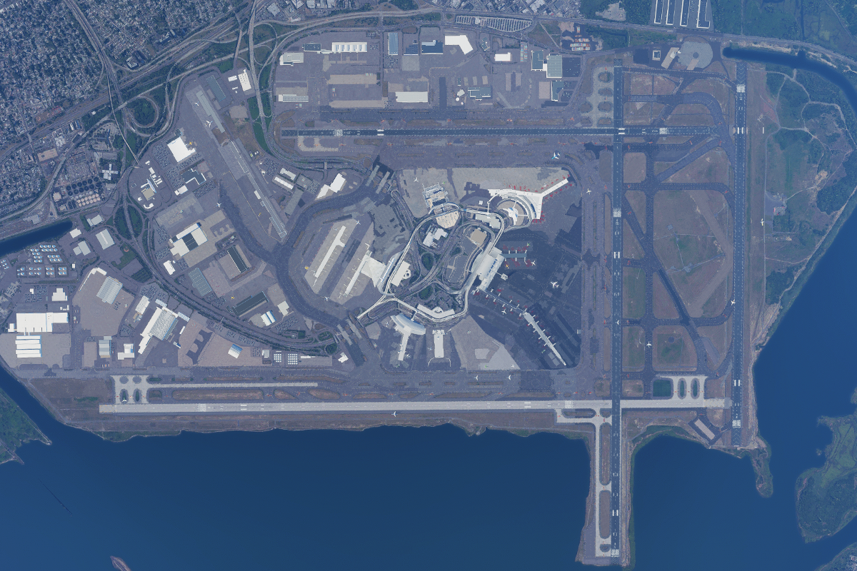
Kennedy International Airport (KJFK): Four runways (04L-22R, 04R-22L, 13L-31R, and 13R-31L), on the southern shore of Long Island, on Jamaica Bay. Airport elevation is 13 feet MSL. Land and taxi to parking.

