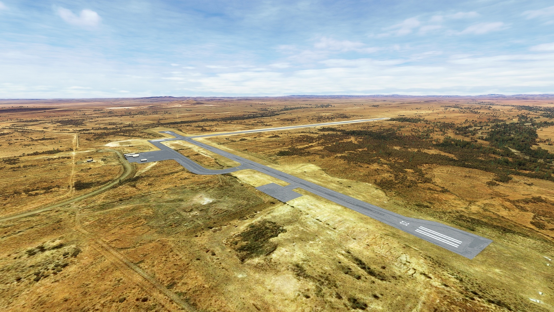
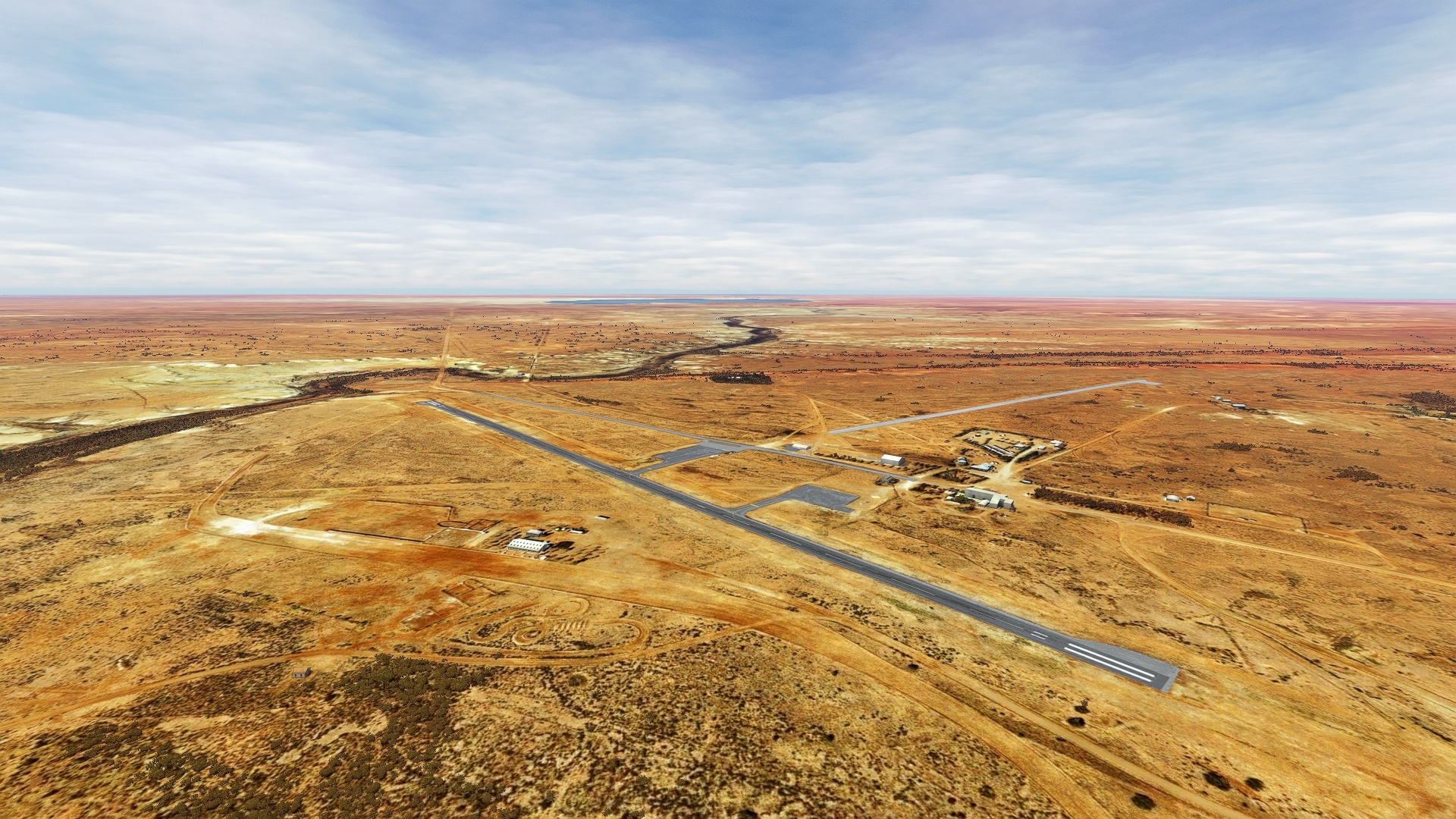
Australia is renowned for its diversity of environments, from ultra-modern urban, to rolling mountains, to dense tropical rainforests, and much more.
One of the great ways to experience this variety is to travel from one realm into another, exploring each and the transition between them.
One of the best of these journeys lies in the state of South Australia, along a corridor that runs from the Indian Ocean, north across stretches of savannah, and into the Tirari Desert.
This journey begins at the northern extremity of the Spencer Gulf, part of the Indian Ocean’s Great Australian Bight, visiting coastline, cities and towns, and ends in the harsh and mysterious desert in the area of Lake Eyre.
The lowest point in Australia at roughly 50 feet below sea level, Lake Eyre is spectacular from the air, revealing its myriad elegant largescale facets that are best appreciated from above.
Assistance on the trip will be available in the form of a ‘Back on Track’ button on the VFR Map — however, be advised that using this will disable achievements tied to the activity.
Total Legs: 5 Total Distance: 386 Total Time(125kts): 3 hours 5 minutes
Leg 1
Whyalla to Port Augusta
Leg Distance: 44.39 Approximate time at 125kts: 21 minutes.
Whyalla(YWHA) to Whyalla(POI1)
Distance: 3.64NM Bearing: 58° 2 minutes
After lifting off from Whyalla Airport, head to the northeast to visit the coastal city of Whyalla, a seaport known as a “steel city” due to its steelworks and history based in iron mining.
Whyalla(POI1) to Point Lowly(POI2)
Distance: 10.51NM Bearing: 72° 5 minutes
Cross the upper Spencer Gulf to reach Point Lowly, the southern tip of a small peninsula that is home to a number of industries, notably the mining industry.
Point Lowly(POI2) to Fitzgerald Bay(POI3)
Distance: 3.57NM Bearing: 348° 2 minutes
From Point Lowly, head north into Fitzgerald Bay, an area used for many years for fish farming.
Fitzgerald Bay(POI3) to Douglas Point(POI4)
Distance: 5.14NM Bearing: 6° 2 minutes
Skirt the coastline from Fitzgerald Bay to Douglas Point, located on the western shores of the Spencer Gulf.
Douglas Point(POI4) to Blanche Harbour(POI5)
Distance: 10.34NM Bearing: 339° 5 minutes
Fly just inland of the western shoreline of the Spencer Gulf to Blanche Harbour, a small urban area.
Blanche Harbour(POI5) to Port Augusta(YPAG)
Distance: 11.19NM Bearing: 343° 5 minutes
Continue flying just inland of the coastline and land at Port Augusta Airport (YPAG).

Leg 2
Port Augusta to Wilpena Pound Airport
Leg Distance: 57.06 Approximate time at 125kts: 27 minutes.
Port Augusta(YPAG) to The Dutchmans Stern(POI6)
Distance: 17.67NM Bearing: 40° 8 minutes
After lifting into the sky again, set a course to the northeast, flying over rolling grasslands and then passing into the first of the Flinders Range of mountains, then reach the Dutchmans Stern, a mountain that stands 2,690 feet above sea level.
The Dutchmans Stern(POI6) to Warren Gorge(POI7)
Distance: 7.35NM Bearing: 8° 4 minutes
From the Dutchmans Stern, head northeast to Warren Gorge, one of the gems of the Flinders Range, due to its multicolored rock forms.
Warren Gorge(POI7) to Watt Sugarloaf(POI8)
Distance: 19.05NM Bearing: 56° 9 minutes
From Warren Gorge, head northeast to Watt Sugarloaf, a prominent mountain of the Flinders Rang that stands 2,025 feet above sea level.
Watt Sugarloaf(POI8) to Wilpena Pound Airport(YHAW)
Distance: 12.99NM Bearing: 22° 6 minutes
Stay to the east of a prominent line of mountains and then pass over the town of Hawker, then land at Hawker Airport (YHAW).

Leg 3
Wilpena Pound Airport to Leigh Creek
Leg Distance: 79.41 Approximate time at 125kts: 38 minutes.
Wilpena Pound Airport(YHAW) to Mount Karawarra(POI9)
Distance: 18.51NM Bearing: 19° 9 minutes
Head northeast out of Hawker Airport, following Flinders Range Way, a road that leads into the heart of the Flinders Range, to Mount Karawarra.
Mount Karawarra(POI9) to Brachina Creek(POI10)
Distance: 15.25NM Bearing: 335° 7 minutes
From Mount Karawarra, head north-northwest to Brachina Creek.
Brachina Creek(POI10) to Parachilna Gorge(POI11)
Distance: 12.63NM Bearing: 345° 6 minutes
Head north to Parachilna Gorge, a feature of the western side of the Flinders Range that is known as one of the most beautiful of all of Australia’s outback due to its rugged, desert and mountain forms.
Parachilna Gorge(POI11) to Beltana Station(POI12)
Distance: 19.23NM Bearing: 334° 9 minutes
Keep to the west of a prominent line of peaks to arrive at Beltana Station, a large sheep and cattle ranch, iconic of the Australian Outback.
Beltana Station(POI12) to Leigh Creek(YLEC)
Distance: 13.79NM Bearing: 3° 7 minutes
From Beltana Station, set a course to the north-northeast and land at Leigh Creek Airport (YLEC).

Leg 4
Leigh Creek to Marree Airport
Leg Distance: 62.87 Approximate time at 125kts: 30 minutes.
Leigh Creek(YLEC) to Lyndhurst(POI13)
Distance: 18.35NM Bearing: 340° 9 minutes
From Leigh Creek Airport, head to the north-northwest, roughly following the “Outback Highway” to the small outpost of Lyndhurst, located at the intersection of two very notable outback tracks, the Strzelecki and the Oodnadatta.
Lyndhurst(POI13) to Farina Station(POI14)
Distance: 13.09NM Bearing: 339° 6 minutes
Continue to follow the Outback Highway to Farina Station, which today is uninhabited, but which once had a population of roughly 600 in the late 1800s.
Farina Station(POI14) to Ochre Cliffs(POI15)
Distance: 15.49NM Bearing: 356° 7 minutes
North-northeast of Farina Station is the Ochre Cliffs, named for their beautiful ocherous, or yellow and orange, coloring.
Ochre Cliffs(POI15) to Marree Airport(YMRE)
Distance: 15.94NM Bearing: 302° 8 minutes
Head to the northwest, following a desert riverbed, and land at Marree Airport (YMRE).

Leg 5
Marree Airport to William Creek Airport
Leg Distance: 142.2 Approximate time at 125kts: 68 minutes.
Marree Airport(YMRE) to Polygonum Waterhole(POI16)
Distance: 19.41NM Bearing: 341° 9 minutes
Lift off from Marree Airport and head to the north-northwest, following a small desert creek bed, to Polygonum Waterhole.
Polygonum Waterhole(POI16) to Marree Man(POI17)
Distance: 29.38NM Bearing: 241° 14 minutes
Turn to the southwest and pass over open desert to reach Marree Man, a “geoglyph” carved into the desert in 1998 that depicts a person hunting.
Marree Man(POI17) to Lake Eyre(POI18)
Distance: 15.17NM Bearing: 315° 7 minutes
From Marree Man, turn into a northwest course and fly over Lake Eyre, the lowest point in Australia at 49 feet below sea level.
Lake Eyre(POI18) to Ancor Rise(POI19)
Distance: 17.25NM Bearing: 264° 8 minutes
Head west from Lake Eyre, passing beyond its western periphery, to Anchor Rise, a low desert knoll.
Ancor Rise(POI19) to Beresford Hill(POI20)
Distance: 15.56NM Bearing: 278° 7 minutes
Set a course to the west-northwest, following a desert creek bed to Beresford Hill, a local high point.
Beresford Hill(POI20) to Strangway Springs Telegraph Station(POI21)
Distance: 8.82NM Bearing: 310° 4 minutes
From Beresford Hill, turn to the northwest, following a course just to the southwest of the Oodnadatta Track Road, to reach the historic Strangeways Springs Telegraph Station.
Strangway Springs Telegraph Station(POI21) to Lake Callara(POI22)
Distance: 13.64NM Bearing: 47° 7 minutes
Head to the northeast to visit Lake Callara, a small desert basin.
Lake Callara(POI22) to William Creek Airport(YWMC)
Distance: 22.97NM Bearing: 282° 11 minutes
From Lake Callara, fly west-northwest across open desert and land at William Creek Aerodrome (YWMC), where this incredible aerial adventure from sea to the interior desert of Australia comes to a close.

