This aerial journey is one that delivers both challenges and incredible rewards.
You’ll visit some of the most breathtaking parts of the Alps, one of the world’s most renowned mountain ranges.
Flying a CubCrafters XCub, you’ll need to skillfully navigate the skies above extreme terrain to lay eyes on the peaks, glaciers, lakes, rivers, enclaves, and more of this fabulous tour that traverses four countries: Switzerland, Liechtenstein, Austria, and Germany.
Assistance on the trip will be available in the form of a ‘Back on Track’ button on the VFR Map — however, be advised that using this will disable achievements tied to the activity.
Total Legs: 8 Total Distance: 568 Total Time(125kts): 4 hours 32 minutes
Leg 1
La Cote to Bex
Leg Distance: 68.76 Approximate time at 125kts: 33 minutes.
La Cote(LSGP) to Brunswick Monument(POI1)
Distance: 12.72NM Bearing: 198° 6 minutes
After lifting off from the grass La Côte Airfield, head south-southwest to Brunswick Monument, a mausoleum built in 1879 that is located on the southwestern extremity of Lake Geneva.
Brunswick Monument(POI1) to Batiment des Forces Motrices(POI2)
Distance: 0.5NM Bearing: 240° 0 minutes
Fly southwest to Bâtiment des Forces Motrices, a system built in the late 1800s to supply water, located at the point where the Rhône River flows out of Lake Geneva.
Batiment des Forces Motrices(POI2) to Stade de Geneve(POI3)
Distance: 1.68NM Bearing: 192° 1 minutes
The Stade de Genève lies just a short hop to the south-southwest.
Stade de Geneve(POI3) to Annemasse(POI4)
Distance: 4.94NM Bearing: 74° 2 minutes
Head east-northeast, crossing into France, and fly over the small city of Annemasse.
Annemasse(POI4) to Lake Geneva(POI5)
Distance: 10.86NM Bearing: 31° 5 minutes
Fly over Lake Geneva – one of the most famous and storied lakes in the world. It is renowned for its temperature inversions and complex mirages, notably the fata morgana and rare fata brumosa.
Lake Geneva(POI5) to Lausanne Cathedral(POI6)
Distance: 14.68NM Bearing: 41° 7 minutes
Pass over Lake Geneva and arrive at the beautiful Lausanne Cathedral.
Lausanne Cathedral(POI6) to Chillon Castle(POI7)
Distance: 13.71NM Bearing: 115° 7 minutes
Skirt the northeastern shore of Lake Geneva until you reach Chillon Castle, a renowned island castle.
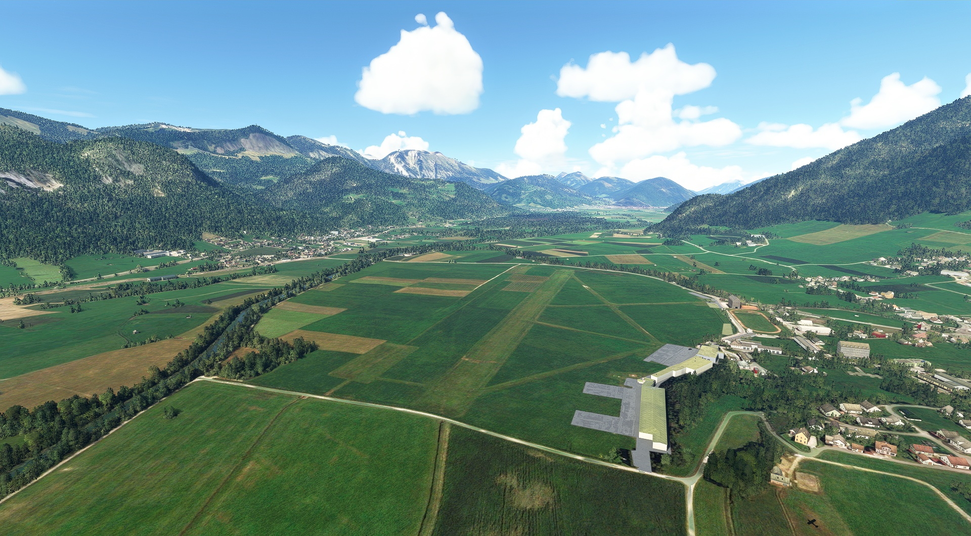
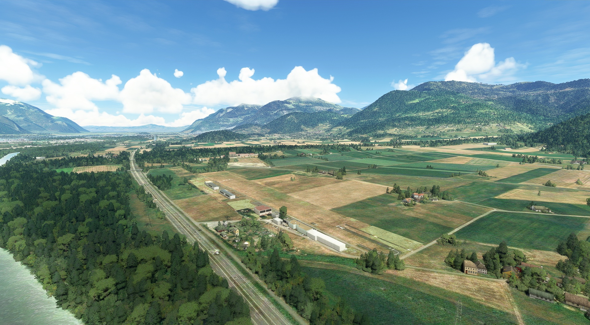
Chillon Castle(POI7) to Bex(LSGB)
Distance: 9.67NM Bearing: 162° 5 minutes
Head south-southeast and land at Aérodrome de Bex, a grass airfield along the shores of the Rhône River.
Leg 2
Bex to Sion
Leg Distance: 40.69 Approximate time at 125kts: 20 minutes.
Bex(LSGB) to Tour Salliere(POI8)
Distance: 8.31NM Bearing: 195° 4 minutes
Lift off from Aérodrome de Bex (LSGB) and carefully climb (including corkscrewing) and navigate to reach Tour Sallière, a gorgeous mountain of the Chablais Alps that stands 10,560 feet above sea level to the south-southwest of the airstrip.
Tour Salliere(POI8) to Lac d’Emosson(POI9)
Distance: 3.31NM Bearing: 181° 2 minutes
Fly south to Lac d'Émosson, a reservoir with a surface elevation of 6,330 feet above sea level.
Lac d’Emosson(POI9) to Aiguille du Tour(POI10)
Distance: 5.98NM Bearing: 138° 3 minutes
Head to the southeast, and in six nautical miles you’ll reach Aiguille du Tour, a northern portion of the Mont Blanc massif.
Aiguille du Tour(POI10) to Col du Chardonnet(POI11)
Distance: 1.73NM Bearing: 174° 1 minutes
Due south of Aiguille du Tour you’ll pass over Col du Chardonnet.
Col du Chardonnet(POI11) to Martigny(POI12)
Distance: 8.38NM Bearing: 12° 4 minutes
Head north-northeast, to Martigny, a high mountain crossroads town with roads that connect Switzerland, France, and Italy.
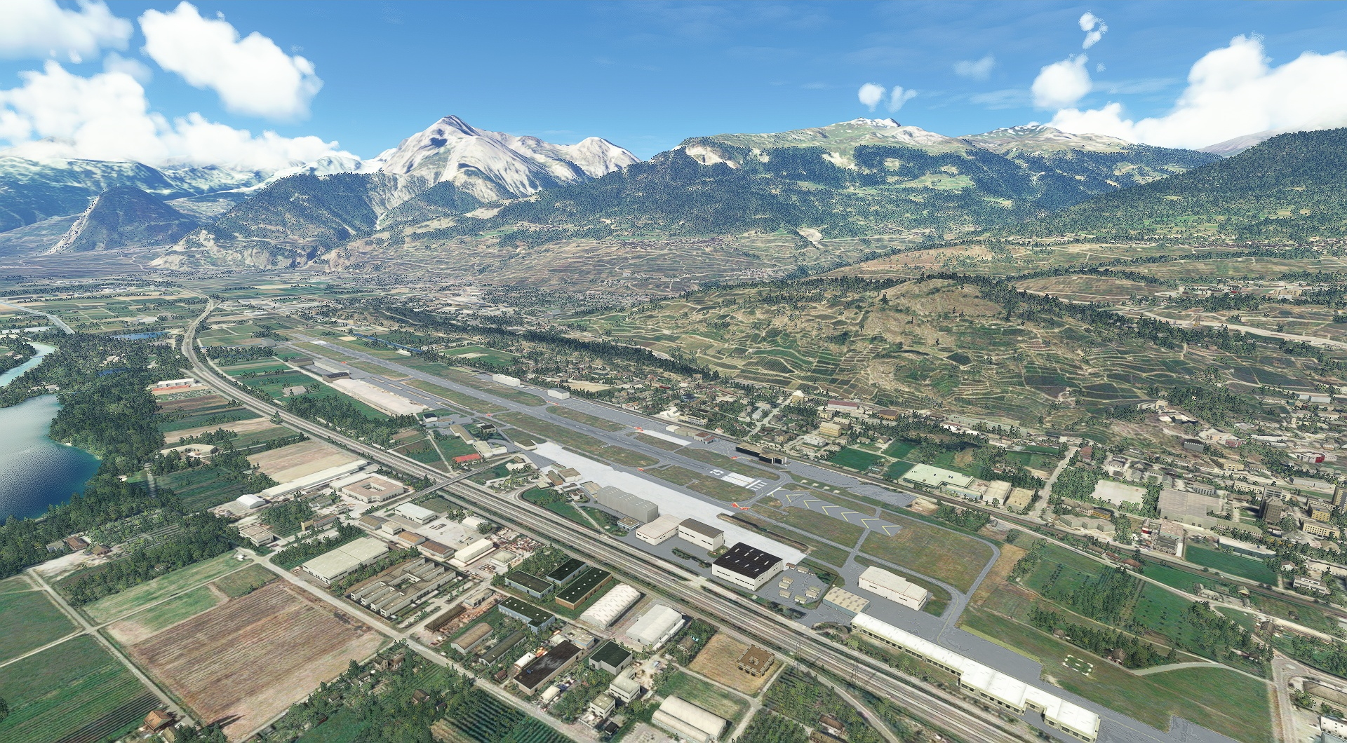
Martigny(POI12) to Sion(LSGS)
Distance: 12.98NM Bearing: 53° 6 minutes
Continue northeast and land at Sion Airport (LSGS).
Leg 3
Sion to Ambri
Leg Distance: 104.59 Approximate time at 125kts: 50 minutes.
Sion(LSGS) to Grande Dixence Dam/Lac Des Dix(POI13)
Distance: 8.91NM Bearing: 156° 4 minutes
After launching from Sion Airport, skillfully gain altitude in this deep valley and head to Grande Dixence Dam, which holds back Lac Des Dix – at 935 feet high, this is the tallest gravity dam in the world and the tallest of any type in Europe.
Grande Dixence Dam/Lac Des Dix(POI13) to Matterhorn(POI14)
Distance: 12.33NM Bearing: 117° 6 minutes
Fly southeast for just over 12 nautical miles and pass by the Matterhorn, one of the most beautiful and famous landmarks on the planet.
Matterhorn(POI14) to Gornergrat South Observatory(POI15)
Distance: 5.29NM Bearing: 82° 3 minutes
Head east to the Gornergrat South Observatory, an observatory on the summit of Gornergrat, a 10,285-foot-high mountain in the Pennine Alps.
Gornergrat South Observatory(POI15) to Monte Rosa(POI16)
Distance: 4.42NM Bearing: 126° 2 minutes
Turn southeast and fly past the awesome Monte Rosa, the highest mountain in Switzerland and second highest in the Alps and western Europe at 15,203 feet above sea level.
Monte Rosa(POI16) to Dom(DOM)
Distance: 9.5NM Bearing: 355° 5 minutes
Head due north for 9.5 nautical miles and fly past Dom, the second highest peak in Switzerland at 14,911 feet above sea level.
Dom(DOM) to Visp(VISP)
Distance: 11.88NM Bearing: 1° 6 minutes
Continue over Visp, a town deep in the Rhône Valley.
Visp(VISP) to Aletsch Glacier(POI17)
Distance: 12.08NM Bearing: 38° 6 minutes
Just over 12 nautical miles to the northeast lies the Aletsch Glacier, the largest glacier in the Alps, with a length of 14 miles.
Aletsch Glacier(POI17) to Sphinx Observatory(POI18)
Distance: 7.38NM Bearing: 325° 4 minutes
Turn and fly north-northwest to the Sphinx Observatory.
Sphinx Observatory(POI18) to Eiger(EIGER)
Distance: 1.99NM Bearing: 21° 1 minutes
Head northeast and pass over the awesome Eiger, one of the most renowned peaks on the planet.
Eiger(EIGER) to Tiefenstock(POI19)
Distance: 17.45NM Bearing: 77° 8 minutes
Fly east-northeast to Tiefenstock, a peak that lies at the head of three significant valleys, the Rhône, the Tiefen, and the Damma.
Tiefenstock(POI19) to Airolo(POI20)
Distance: 9.73NM Bearing: 124° 5 minutes
Fly southeast and descend in altitude and pass over Airolo, a beautiful city set within a deep valley.
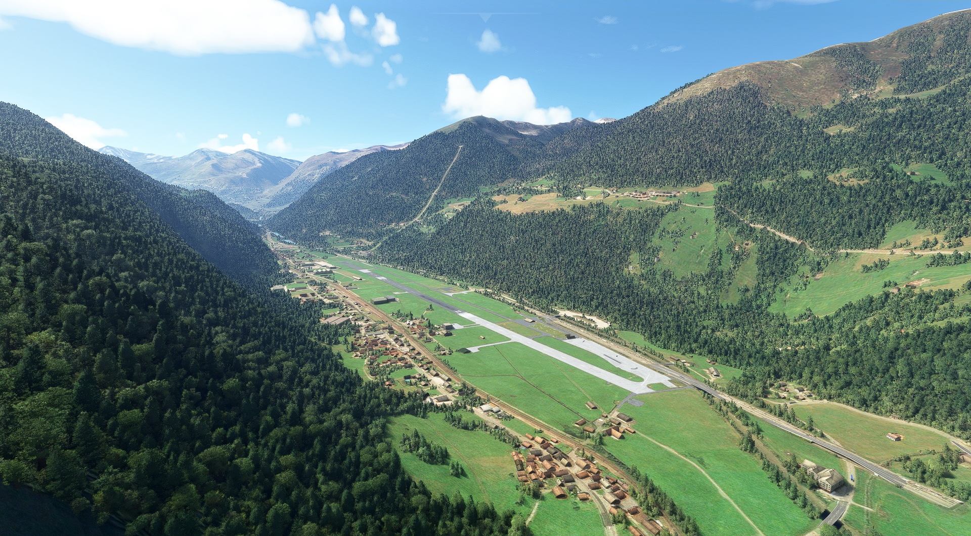
Airolo(POI20) to Ambri(LSPM)
Distance: 3.63NM Bearing: 101° 2 minutes
Continue to descend and land at Ambri Airport (LSPM).
Leg 4
Ambri to Wildberg
Leg Distance: 115.22 Approximate time at 125kts: 55 minutes.
Ambri(LSPM) to Zapporthorn(POI21)
Distance: 16.75NM Bearing: 93° 8 minutes
Launch, set a course east-southeast, and gain altitude to fly over the 10,341-foot-high summit of Zapporthorn, a significant peak in the Swiss Lepontine Alps.
Zapporthorn(POI21) to Sufnersee(POI22)
Distance: 12.53NM Bearing: 61° 6 minutes
Fly northeast for 12.5 nautical miles to Sufnersee, a reservoir on the Hinterrhein River.
Sufnersee(POI22) to Tiefencastel(POI23)
Distance: 10.16NM Bearing: 52° 5 minutes
Continue for just over ten nautical miles to Tiefencastel, a beautiful village deep in the Alps.
Tiefencastel(POI23) to Landwasser Viaduct(POI24)
Distance: 4.32NM Bearing: 71° 2 minutes
Just past Tiefencastel lies the Landwasser Viaduct, an incredible feat of engineering built of limestone that spans the Landwasser, a notable Swiss river.
Landwasser Viaduct(POI24) to Schesaplana(POI25)
Distance: 22.43NM Bearing: 359° 11 minutes
Fly north for 22 nautical miles to the beautiful pyramidal form of Schesaplana, the highest mountain in the Rätikon Mountain Range, part of the Central Eastern Alps. Schesaplana lies directly on the border of Switzerland and Austria.
Schesaplana(POI25) to Vaduz(VADUZ)
Distance: 9.18NM Bearing: 301° 4 minutes
Point the XCub’s nose to the northwest and fly 9.2 nautical miles to Vaduz, the capital of Liechtenstein, a tiny Alpine country that is one of the few nations of the world without an airport.
Vaduz(VADUZ) to Kybunpark(POI26)
Distance: 18.35NM Bearing: 328° 9 minutes
Just over 18.3 nautical miles farther northwest lies Kybunpark, a multi-use Swiss stadium.
Kybunpark(POI26) to Abbey of Saint Gall(POI27)
Distance: 3.01NM Bearing: 69° 1 minutes
Turn east-northeast and pass over Abbey of Saint Gall, a beautiful Catholic religious complex that is centuries old located in St. Gall, Switzerland.
Abbey of Saint Gall(POI27) to Lake Constance(POI28)
Distance: 7.07NM Bearing: 56° 3 minutes
Continue on your course to Lake Constance, a body of water where Switzerland, Germany, and Austria meet. The lake lies along the Rhine at the northern reaches of the Alps.
Lake Constance(POI28) to Lindau(POI29)
Distance: 7.39NM Bearing: 55° 4 minutes
Keep on your northeasterly course and pass over Lindau, a town and island on the eastern reaches of Lake Constance in Bavaria, Germany.
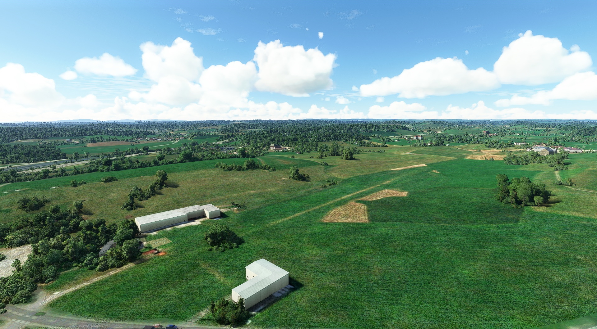
Lindau(POI29) to Wildberg(EDYW)
Distance: 4.03NM Bearing: 32° 2 minutes
Land at Wildberg Airfield (EDYW), a grass strip set amid beautiful rolling low hills of southern Bavaria.
Leg 5
Wildberg to Hoefen
Leg Distance: 47.21 Approximate time at 125kts: 23 minutes.
Wildberg(EDYW) to Oberstaufen(POI30)
Distance: 11.76NM Bearing: 100° 6 minutes
In the air again, fly east-southeast to Oberstaufen, a southern Bavarian town.
Oberstaufen(POI30) to Grosser Alpsee(POI31)
Distance: 6.25NM Bearing: 75° 3 minutes
6.3 nautical miles to the east-northeast lies Großer Alpsee, a gorgeous lake.
Grosser Alpsee(POI31) to Allgau High Alps Nature Reserve(POI32)
Distance: 12.38NM Bearing: 151° 6 minutes
Turn southeast and fly to the Allgäu High Alps Nature Reserve, one of the most beautiful destinations in Germany.
Allgau High Alps Nature Reserve(POI32) to Lech River(POI33)
Distance: 12.76NM Bearing: 73° 6 minutes
Aim north-northeast, passing into Austria, and fly over the Lech River, a tributary to the Danube.
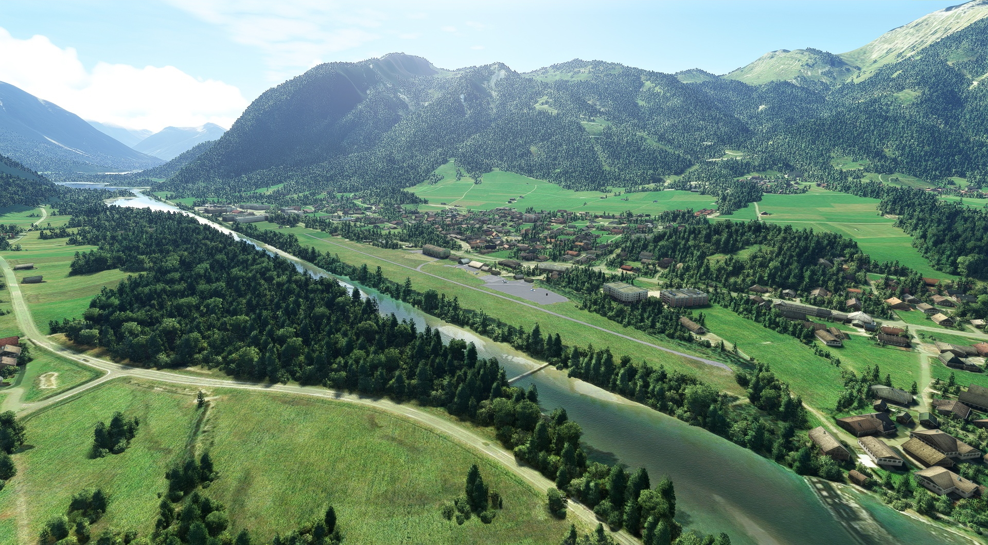
Lech River(POI33) to Hoefen(LOIR)
Distance: 4.06NM Bearing: 50° 2 minutes
Head northeast and land at Reutte-Höfen Airfield (LOIR), a grass airstrip surrounded by lushly-forested peaks.
Leg 6
Hoefen to Greiling Airfield
Leg Distance: 46.83 Approximate time at 125kts: 22 minutes.
Hoefen(LOIR) to Zugspitze(POI34)
Distance: 12.29NM Bearing: 101° 6 minutes
Lift off from Reutte-Höfen Airfield and head east-southeast to Zugspitze, which lies on the Germany-Austria border and at 9,718 feet above sea level is the highest peak in the Wetterstein Mountains and the highest in all of Germany.
Zugspitze(POI34) to Walchensee(POI35)
Distance: 18.16NM Bearing: 50° 9 minutes
Just over 18 nautical miles to the northeast of Zugspitze lies the gorgeous Walchensee, one of the deepest and largest mountain lakes in Germany.
Walchensee(POI35) to Kochelsee(POI36)
Distance: 3.16NM Bearing: 349° 2 minutes
Turn north and fly between two mountains (Herzogstand on the west and Lochberg on the east) to a smaller, but equally spectacular lake, Kochelsee.
Kochelsee(POI36) to Isar River(POI37)
Distance: 9.95NM Bearing: 61° 5 minutes
9.9 nautical miles to the northeast is the Isar River.
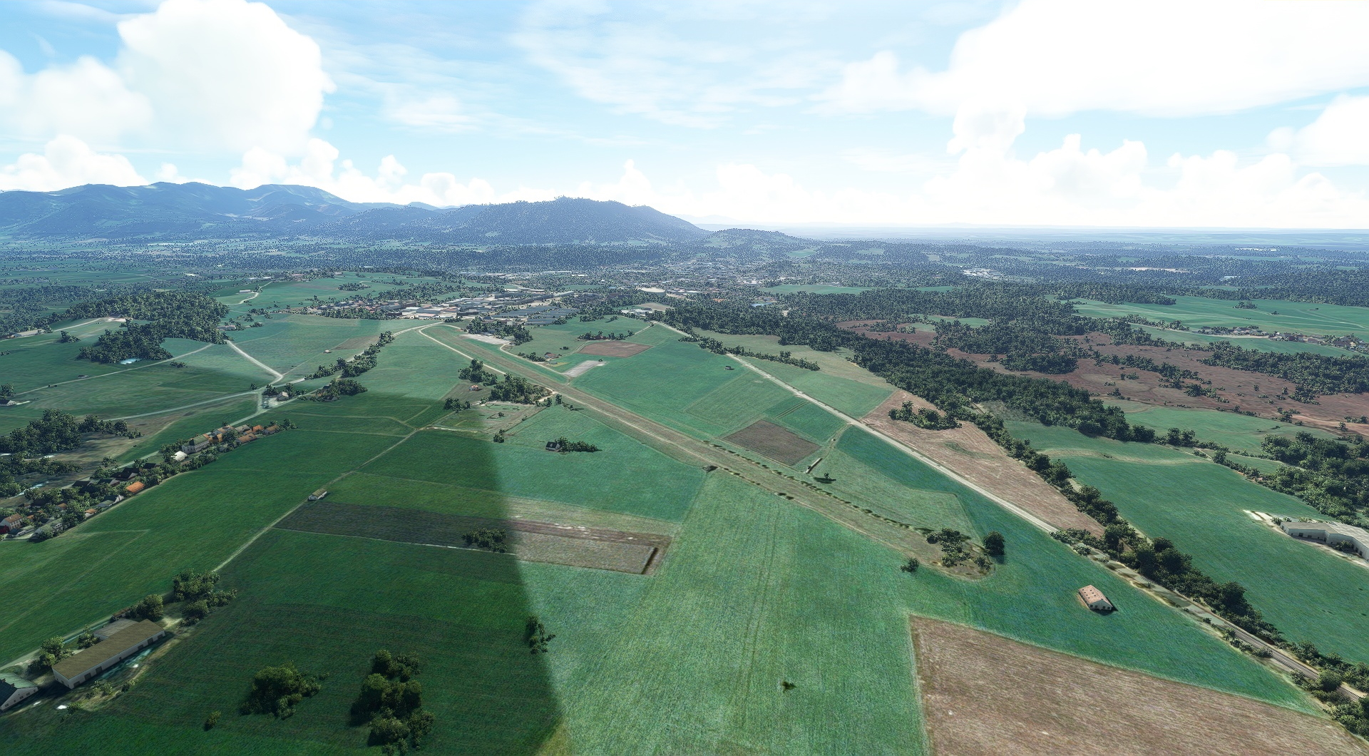
Isar River(POI37) to Greiling Airfield(EDGY)
Distance: 3.27NM Bearing: 21° 2 minutes
Land at Greiling Airfield (EDGY), a wonderful grass field surrounded by pastoral scenery of southern Bavaria.
Leg 7
Greiling Airfield to Zell Am See
Leg Distance: 85.93 Approximate time at 125kts: 41 minutes.
Greiling Airfield(EDGY) to Tegernsee(POI38)
Distance: 5.97NM Bearing: 107° 3 minutes
After taking off from Greiling Airfield, set a course to the southeast and in six nautical miles you’ll fly over the beautiful waters of Tegernsee.
Tegernsee(POI38) to Festung Kufstein(POI39)
Distance: 19.6NM Bearing: 112° 9 minutes
Continue on your course and in 19.6 nautical miles you’ll reach the Austrian fortress Festung Kufstein, the primary landmark in the Tyrolian town of Kufstein.
Festung Kufstein(POI39) to Kaiser Mountains(POI40)
Distance: 5.63NM Bearing: 99° 3 minutes
Just under six nautical miles farther you’ll reach the Kaiser Mountains, a limestone ridge of peaks, considered some of the best scenery in Austria’s Tyrol.
Kaiser Mountains(POI40) to Hohe Tauern National Park(POI41)
Distance: 25.6NM Bearing: 173° 12 minutes
Fly south for 26 nautical miles to the stunning alpine landscape of Hohe Tauern National Park.
Hohe Tauern National Park(POI41) to Grossglockner(POI42)
Distance: 15.5NM Bearing: 99° 7 minutes
Aim the XCub’s nose to the east-southeast and fly over the summit of Grossglockner, the highest mountain in Austria at 12,461 feet above sea level.
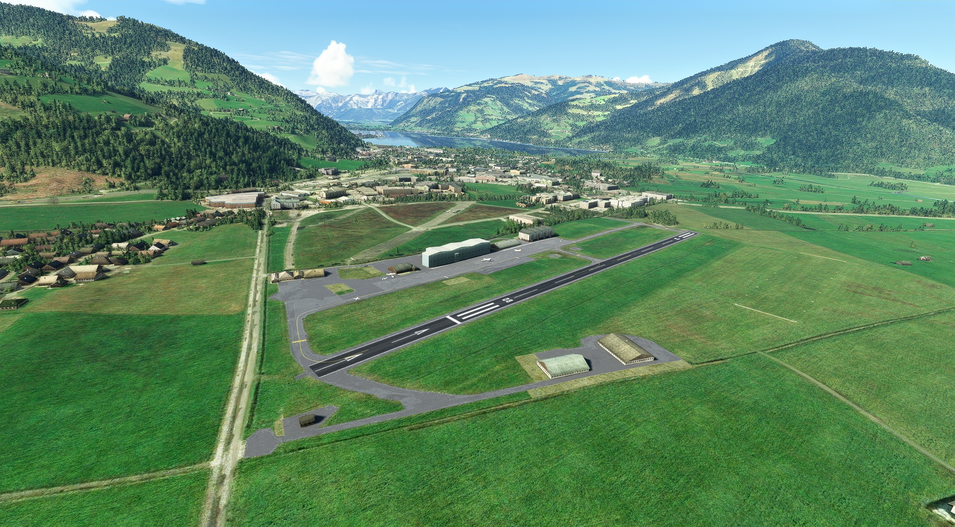
Grossglockner(POI42) to Zell Am See(LOWZ)
Distance: 13.63NM Bearing: 12° 7 minutes
Turn north-northeast and land at Zell Am See airport (LOWZ).
Leg 8
Zell Am See to Aigen Im Ennstal
Leg Distance: 59.1 Approximate time at 125kts: 28 minutes.
Zell Am See(LOWZ) to Hohenwerfen Castle(POI43)
Distance: 19.82NM Bearing: 50° 10 minutes
Once in the air again, set a course to the northeast and fly just under 20 nautical miles to Hohenwerfen Castle, a spectacular feat of medieval rock architecture set amid dramatic mountains.
Hohenwerfen Castle(POI43) to Hallstatter Glacier(POI44)
Distance: 17.16NM Bearing: 86° 8 minutes
Head east for 17.2 nautical miles to Hallstätter Glacier, the largest glacier in the Dachstein Mountains, a notable range in Austria’s Eastern Alps.
Hallstatter Glacier(POI44) to Sankt Martin am Grimming(POI45)
Distance: 15.04NM Bearing: 84° 7 minutes
Continue east to Sankt Martin am Grimming, a wonderful town located near the geographic center of Austria.
Sankt Martin am Grimming(POI45) to Aigen Im Ennstal(LOXA)
Distance: 7.08NM Bearing: 59° 3 minutes
Head east-northeast and your journey comes to a close at the grass airstrip of Fiala Fernbrugg Airbase (LOXA).
