Greenland is one of the least visited, best preserved, and most breathtakingly beautiful places in the world. Geologically part of North America, Greenland is the world’s largest island and most northerly land. It traces its exploratory and colonial lineage to Europe and today is an independent country that is a component of the Kingdom of Denmark. It was named “Greenland” by explorer Erik the Red who reportedly believed that the name would attract settlers.
Eighty percent of the land mass of Greenland is covered by the Greenland ice sheet, the second largest body of ice in the world after the Antarctic ice sheet. The Greenland ice sheet measures 1,500 miles along its roughly north-south length and has a maximum width of 680 miles. At 678,000 square miles, it is larger than the land areas of Denmark, Finland, Iceland, Norway, and Sweden combined and is roughly equal to the combined areas of France, Germany, Spain, and Poland. Rising to over 10,000 feet above sea level at its highest point, the ice sheet is nearly two miles deep at its thickest.
Greenland is ringed by fjords that were (and continue to be) carved by glaciers flowing to the surrounding seas from the ice sheet’s interior. A number of towns dot coastal Greenland, each set amid stunning scenery of glacially-weathered mountains and coastline. This includes Greenland’s capital and largest city, Nuuk, which lies on Greenland’s southwest coast.
The Greenland Exploration Bush Trip traverses some of the most spectacular and memorable parts of Greenland. Starting at Summit Camp, a research station located at the Greenland ice sheet’s high point, the route heads to the west coast, overflying the ice sheet. The journey then turns south to explore the towns, islands, fjords, mountains, and other sights of this spectacular part of the world.
<z>Flight instructions:
No landmarks are visible over the Greenland ice sheet. Use the GPS heading at the beginning or turn on "Route and Waypoints" in the navigation aids options.
You can interrupt the flight at any time. The journey will resume from the most recent waypoint.
After each landing, taxi to one of the parking areas and set the aircraft to cold and dark.
Pay close attention to fuel level. Not all airports provide fuel.
Use ATC if you wish.
Total Legs: 6 Total Distance: 973 Total Time(125kts): 7 hours 47 minutes
Leg 1
Summit Camp to Upernavik Airport
Leg Distance: 315.34 Approximate time at 125kts: 151 minutes.
Summit Camp(SU01) to Ice Sheet View 1(POI1)
Distance: 107.78NM Bearing: 305° 52 minutes
After lifting off from the SU01 airfield at Summit Camp, set a course for Ice Sheet View 1 and gain altitude, enjoying the incredible views of this vast, high-latitude wilderness.
Summit Camp was established in 1989 to support the Greenland Ice Sheet Project Two. This was a multi-year initiative to drill and recover ice cores to build a comprehensive understanding of past climate variations, as ice acts as record keeper of atmospheric conditions. The camp is located at an elevation of 10,551 feet above sea level, near the summit of the Greenland ice sheet.
Summit Camp is one of many research stations established over the past decades in Greenland to study a wide array of subjects, from biology to black holes. Most were built on or near Greenland’s coast, with a small handful having been established in the interior of the ice sheet. One of the most infamous of the interior camps was “Camp Century,” a long-abandoned facility that was located on the northwest aspect of the ice sheet. The camp was built in the 1950s as part of “Project Iceworm,” an American top-secret Cold War program to explore using Greenland as a base for intercontinental nuclear-tipped ballistic missiles. Camp Century consisted of a network of more than 20 covered trenches dug into the ice sheet and was powered by a nuclear reactor. The project was abandoned in 1967 due to the ice shifting, which eventually destroyed the camp.
The inexorably shifting ice that destroyed Camp Century is a testament to the “living” nature of the Greenland ice sheet. It is a dynamic system, built through snowfall and driven in motion by gravity. The entire sheet is continuously in a state of change, slowly flowing outward to Greenland’s surrounding seas in distinct “streams” of ice from the highest points of the formation, like the one atop which Summit Camp is built. Not even bitter cold like the record-setting -93.3-degree Fahrenheit (-69,6° Celsius) temperature, recorded in December of 1991 at an automated weather station near Summit Camp, can keep the ice of this region locked in place.
Summit Camp is located in Northeast Greenland National Park, which covers the entire northeastern quadrant of the island. The park, established to protect the unique environment found in this part of Greenland, is the largest national park in the world at 375,000 square miles. The official permanent population of this massive national park is zero, although upwards of fifty people may be present throughout the park at any one time, distributed throughout research stations like Summit Camp.
Ice Sheet View 1(POI1) to Ice Sheet View 2(POI2)
Distance: 103.91NM Bearing: 302° 50 minutes
From Ice Sheet View 1, continue on course toward Ice Sheet View 2 and Greenland’s west coast at Upernavik Airport. With each mile farther to the west, the altitude of the Greenland ice sheet decreases. While the surface over which this route traverses remains uninhabited and untouched due to severity of the environment, Greenland’s coasts, notably its southwestern coast, have seen exploration and development.
Evidence indicates that humans have been present in Greenland for thousands of years, although in very small numbers. This includes archeological remnants at Frigg Fjord, located at the northern extremity of Greenland. The remnants found at Frigg Fjord, which is less than 500 miles from the North Pole, is the northernmost human settlement in history. Most exploration and development in Greenland has occurred far to the south of Frigg Fjord, and today there are 72 distinct population centers in the country, of which the most numerous are settlements with fewer than 100 people.
Signs of Greenland’s west coast will slowly emerge after overflying Ice Sheet View 2. Sight the southern extent of the Upernavik Archipelago and then pass over a series of islands, including the northern extremity of Nutaarmiut Island. The Upernavik Archipelago is the location of the first known inhabitants of Greenland, Inuit people, who arrived roughly 4,000 years ago.
Ice Sheet View 2(POI2) to Upernavik Airport(BGUK)
Distance: 103.65NM Bearing: 300° 50 minutes
Continue flying over the northern end of Nutaarmiut Island and then pass just to the south of Aappilattoq Island. The landforms here are representative of those throughout all coastal Greenland. Having formed through the processes of glacial weathering and erosion, these coastal forms include numerous small bays, inlets, fjords, moraines, and large swaths of bare, polished rock. Flying past the margin of the Greenland ice sheet over these forms provides a great perspective of the large-scale processes that shaped the surface of much of the planet during the most recent ice age, the Pleistocene epoch.
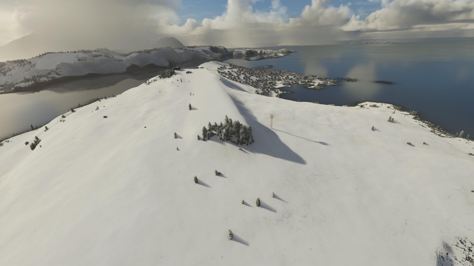
Pass over Atilissuaq Island and then sight the town of Upernavik. Upernavik is renowned archaeologically as being the northern limit where Norse artifacts have been discovered in Greenland. Gain a visual on Upernavik Airport, which lies just to the northeast of town, and bring this first leg of the journey to a close by landing.
Leg 2
Upernavik Airport to Aasiaat Airport
Leg Distance: 254.86 Approximate time at 125kts: 122 minutes.
Upernavik Airport(BGUK) to Kangersuatsiaq(POI3)
Distance: 26.76NM Bearing: 189° 13 minutes
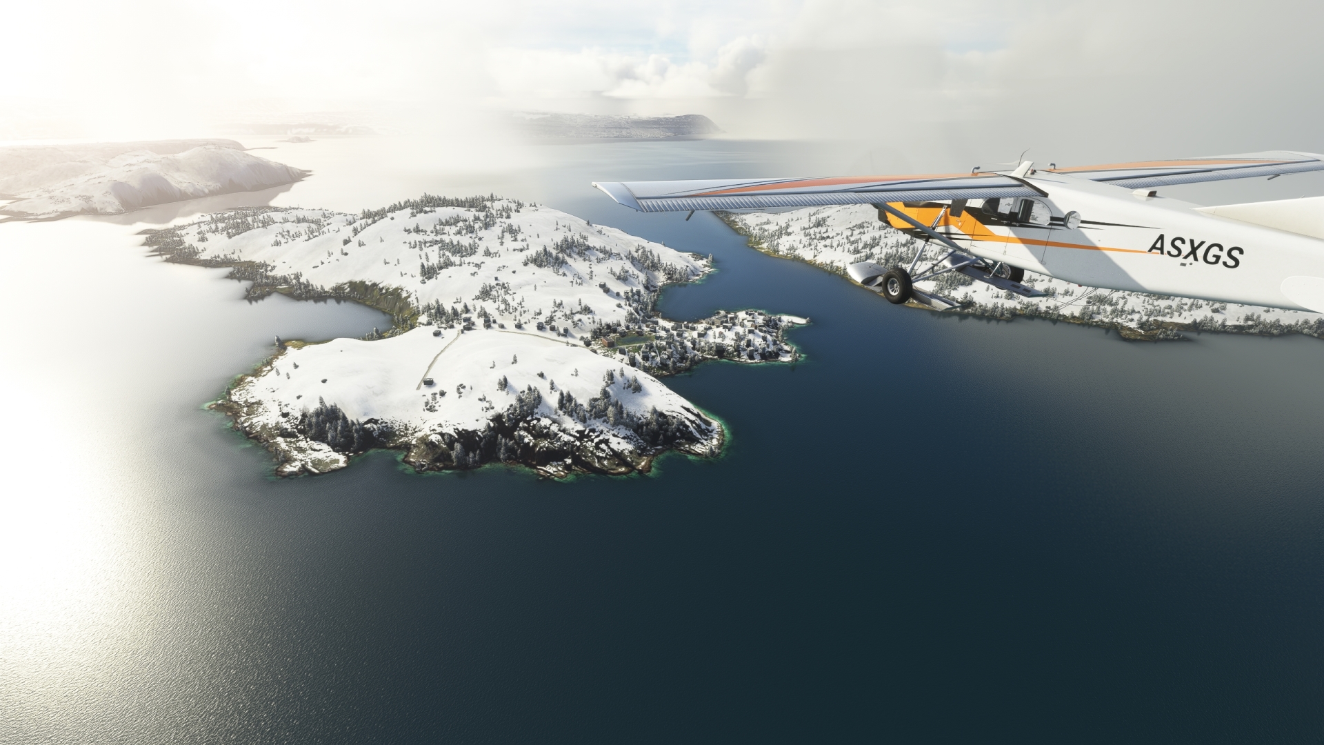
Lift off from Upernavik Airport and set a course to the south-southeast. Fly over the outer margin of the Upernavik Archipelago where it meets the open water of Baffin Bay.
Baffin Bay, which is part of the Arctic Ocean, separates Canada’s Baffin Island from Greenland. Air transport is critical to the population of this part of Greenland as Baffin Bay is locked in ice most of the year and icebergs make it virtually unnavigable in summer months—and of course, no road network exists among Greenland’s population centers. As many villages lack airstrips, helicopters, based out of towns with airports, often provide the final legs for passengers and cargo. Sight the small village of Kangersuatsiaq, located on the island of the same name, and turn onto a heading of 214° M after flying over this settlement of just over 100 inhabitants.
Kangersuatsiaq(POI3) to Upernavik Kujalleq(POI4)
Distance: 13.29NM Bearing: 212° 6 minutes
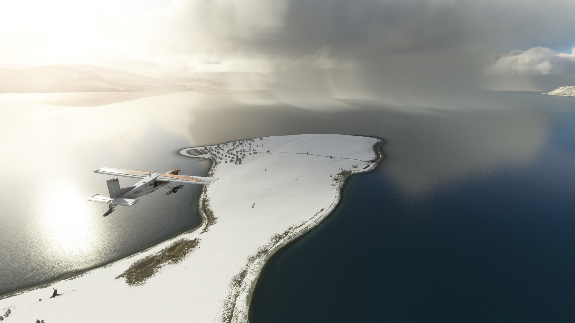
From Kangersuatsiaq, pass over open water to the northern cape of Qeqertaq Island, the second largest island in the Upernavik Archipelago. Pass over the bay separating the northern and southern capes of the island and arrive over the village of Upernavik Kujalleq (formerly called Søndre Upernavik) on the southern shore of the southern cape.
Upernavik Kujalleq, the only settlement on Qeqertaq Island, was founded in 1855 as a trading post and is relatively lush with vegetation compared to other villages in this part of Greenland.
Upernavik Kujalleq(POI4) to Nunavik Peninsula(POI5)
Distance: 46.01NM Bearing: 202° 22 minutes
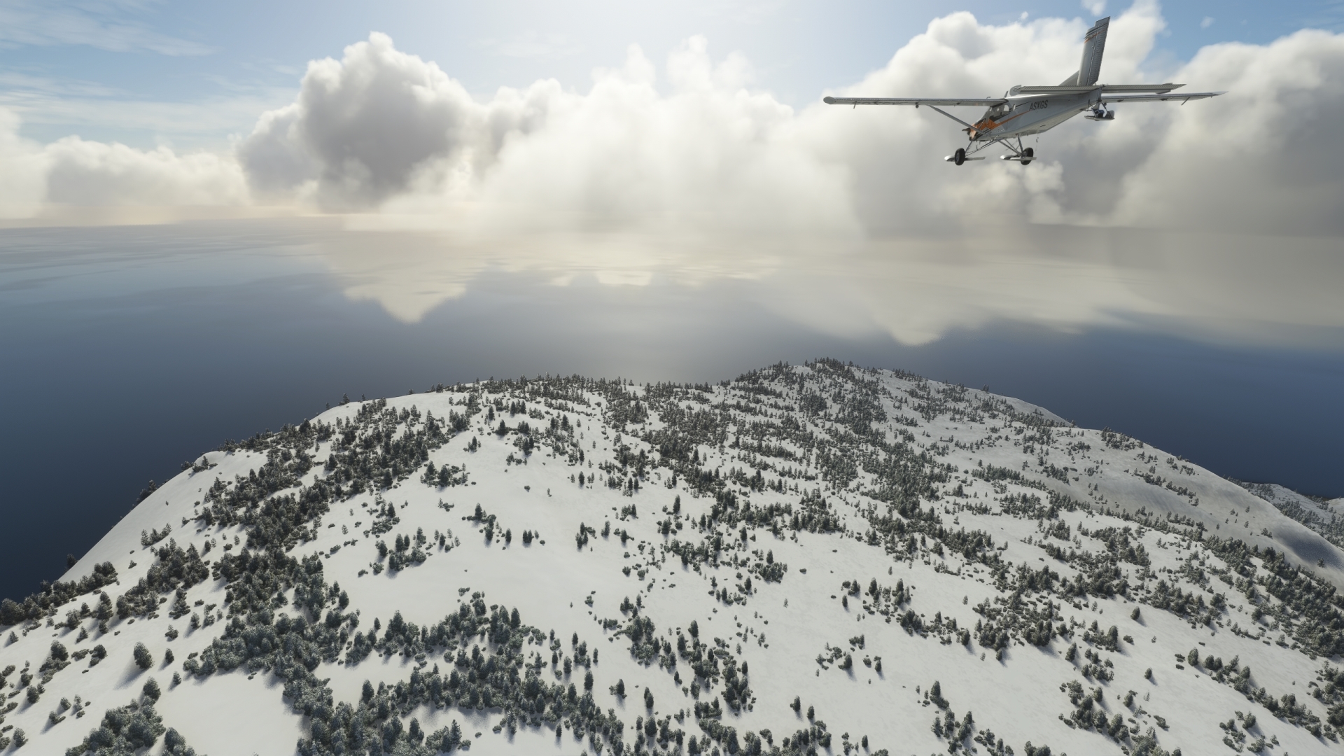
From Upernavik Kujalleq, adjust heading slightly to a course just east of due south and cross the Sullua Fjord. Pass by an unnamed island that is formed by two fjords, one to its north, and one to its south, and then fly over the northern aspect of the Nunavik Peninsula. The Nunavik Peninsula separates the Upernavik Archipelago region to the north and the Uummannaq Fjord region to the south.
Nunavik Peninsula(POI5) to Nuussuaq Peninsula(POI6)
Distance: 44.53NM Bearing: 195° 21 minutes
Turn to a heading of 197° M and use the NDB Godhavn (GN), 306.0 kHz, as a guide, which you can receive after a few miles of flight. Fly out into the open water of the Uummannaq Fjord where it meets Baffin Bay. The Uummannaq Fjord system is one of the largest in Greenland—and the world. Flying above its opening to the mouth of Baffin Bay provides an excellent perspective into how the accumulated ice of the Greenland ice sheet flows outward to surrounding seas, carving valleys over time. Submerged by seawater, these valleys are fjords, and the water surface of each, bounded by walls of rock and mountains, dramatically shows the paths that glaciers took in creating them. Fly over the western end of the Nuussuaq Peninsula, which forms the southern boundary of the Uummannaq Fjord.

Nuussuaq Peninsula(POI6) to University of Copenhagen Arctic Station(POI7)
Distance: 88.67NM Bearing: 196° 43 minutes
After passing over the western margin of the Nuussuaq Peninsula, cross over the Sullorsuaq Strait, which separates the Nuussuaq Peninsula from Disko Island.
At roughly 75 miles in length by 75 miles in width, Disko Island, also called Qeqertarsuaq Island, is the second largest island in Greenland after the main island. The island is mountainous with numerous glaciers, valleys, and fjords, and has a high point of 6,300 feet above sea level. Fly over the midsection of the island to reach the University of Copenhagen Arctic Station, located at the southern tip. Established in 1906, the University of Copenhagen Arctic Station is one of the oldest research stations in Greenland.

University of Copenhagen Arctic Station(POI7) to Aasiaat Airport(BGAA)
Distance: 35.6NM Bearing: 182° 17 minutes
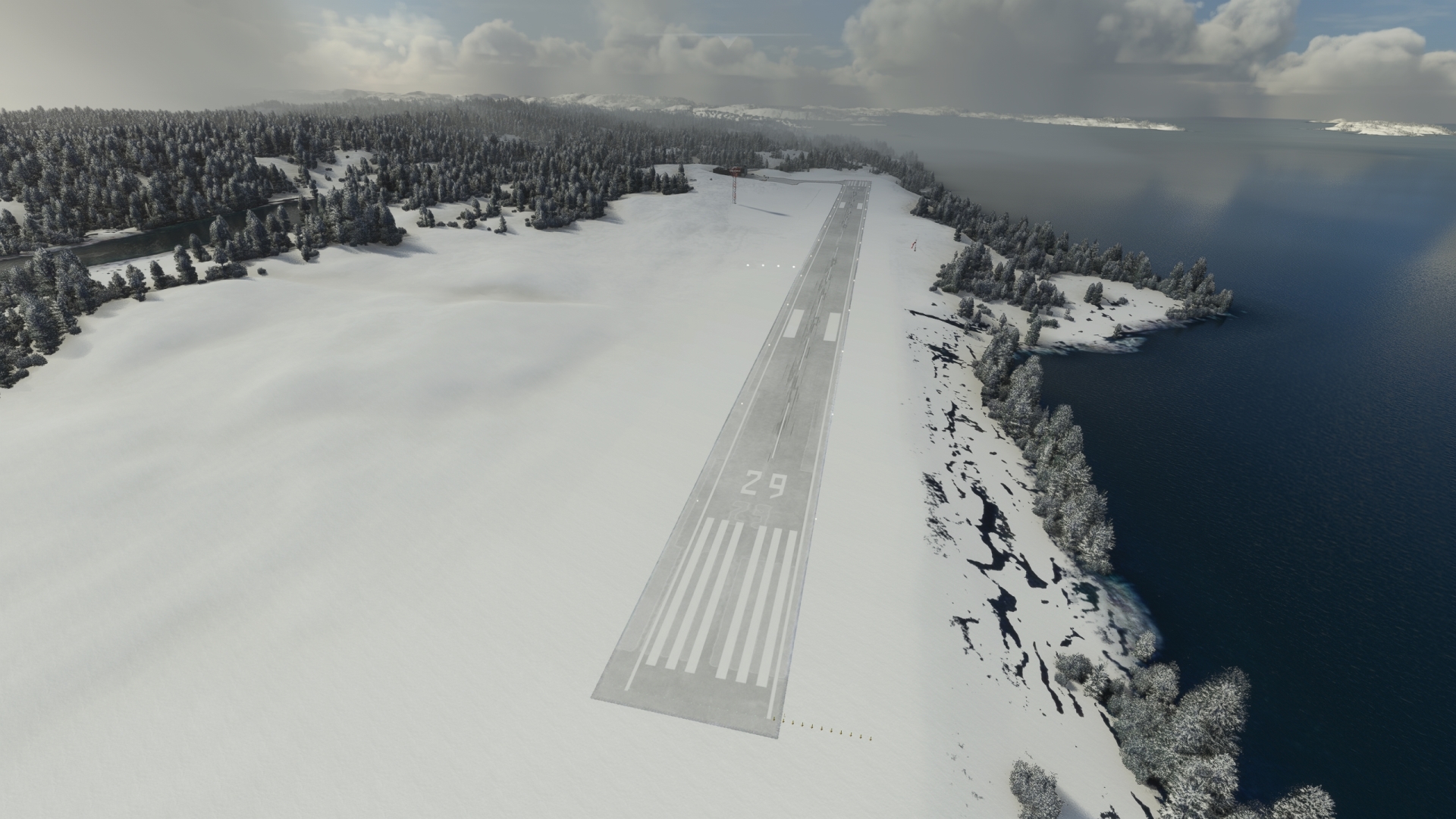
Change course to 183° M and use the NDB Aasiaat (AA), 336.0 kHz, as a navigational aid. Fly over Disko Bay where it meets Baffin Bay. Pass just to the east of a group of small islands, then sight the town of Aasiaat. Aasiaat Airport, a single-runway facility, is located just over one mile to the northeast of town.
The modern town of Aasiaat was moved to its current location in 1763 after having been initially established farther to the south. It was an important whaling center for decades and today its economy is supported by fishing and tourism.
Leg 3
Aasiaat Airport to Sisimiut Airport
Leg Distance: 110.58 Approximate time at 125kts: 53 minutes.
Aasiaat Airport(BGAA) to Kangaatsiaq(POI8)
Distance: 29.12NM Bearing: 239° 14 minutes
Climb back into the sky and set a course to the southwest. Fly over Saqqarliup Nunaa, the largest island in the Aasiaat archipelago, then fly over a large swath of islands that are oriented predominantly northeast-southwest. Maintain heading and fly along the distinct juncture where the larger islands of this part of the archipelago meet the smaller islands. Locate and overfly the fishing village of Kangaatsiaq, which is located at the southwestern tip of a northeast-southwest trending peninsula.
While Kangaatsiaq, which today has a population of roughly 500, has existed as a settlement for many decades, it was only formally recognized as a town in 1986.

Kangaatsiaq(POI8) to Sisimiut Airport(BGSS)
Distance: 81.46NM Bearing: 213° 39 minutes
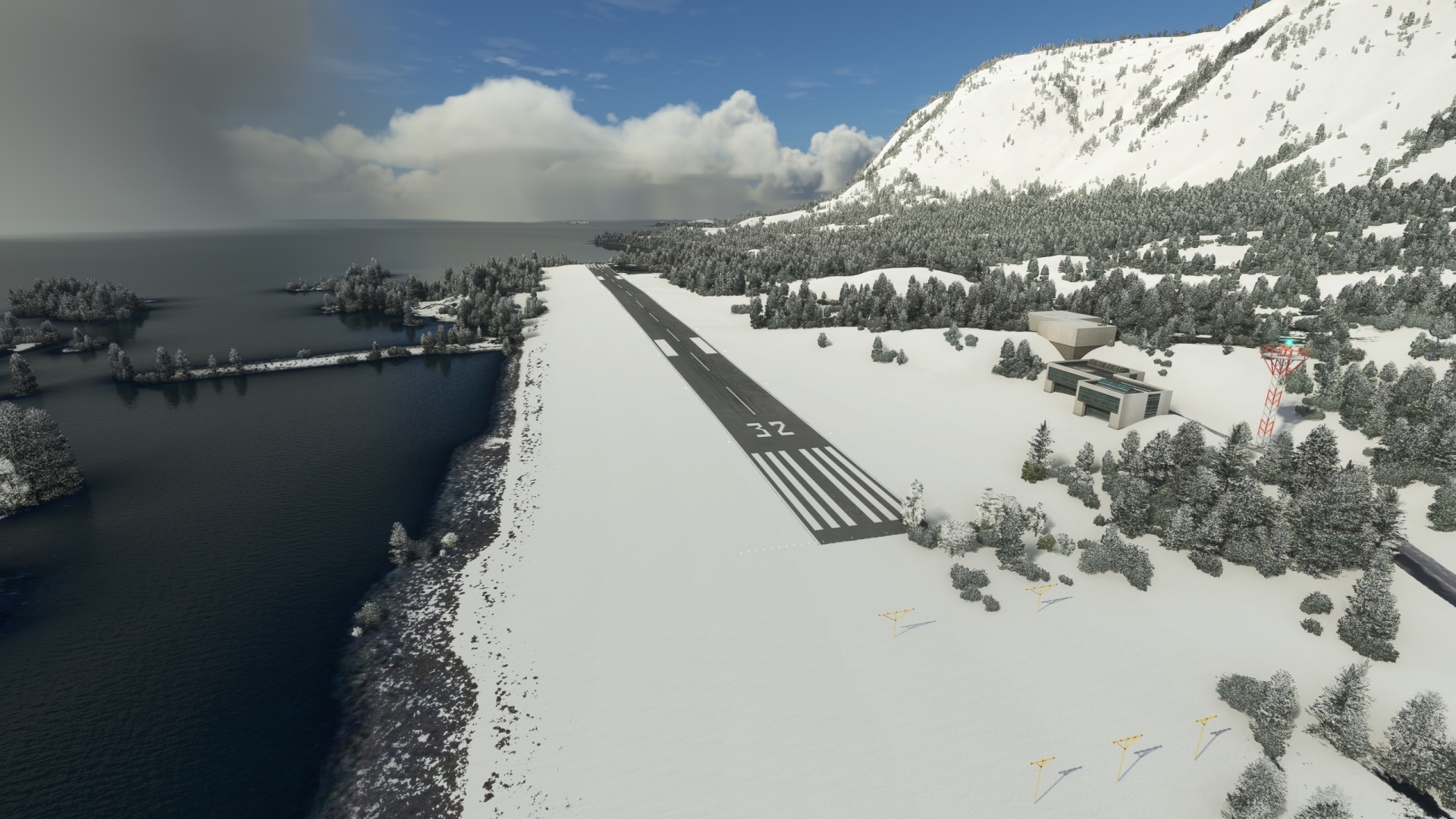
Continue along the west coast of Greenland using NDB Holsteinsborg (HB), 328.0 kHz, as an orientation for your next landing site. Cross the western edge of the Aasiaat archipelago. Pass over the mouth of the long, narrow Nordre Isortoq Fjord, and then pass the Kangerluarsuk Ungalleq Fjord. Gain a visual on Kangerluarsuk Tulleq, which is a fjord about five miles north of Kangerluarsunnguaq Bay. Sisimiut Airport, the end of this leg of the journey, is located on the northern shore of the bay approximately 2 miles northwest of Sisimiut.
Sisimiut, with a population of 5,500, is the second largest city in Greenland and has a lineage more than 4,000 years old. Greenland’s first shipyard was built here in 1931, prior to which ships needing repair were sent to Denmark. The economic base of the city today is fishing, including fish processing. The largest fish factory in the country is also located here.
Leg 4
Sisimiut Airport to Kangerlussuaq Airport
Leg Distance: 78.46 Approximate time at 125kts: 38 minutes.
Sisimiut Airport(BGSS) to Sarfannguid(POI9)
Distance: 20.8NM Bearing: 126° 10 minutes
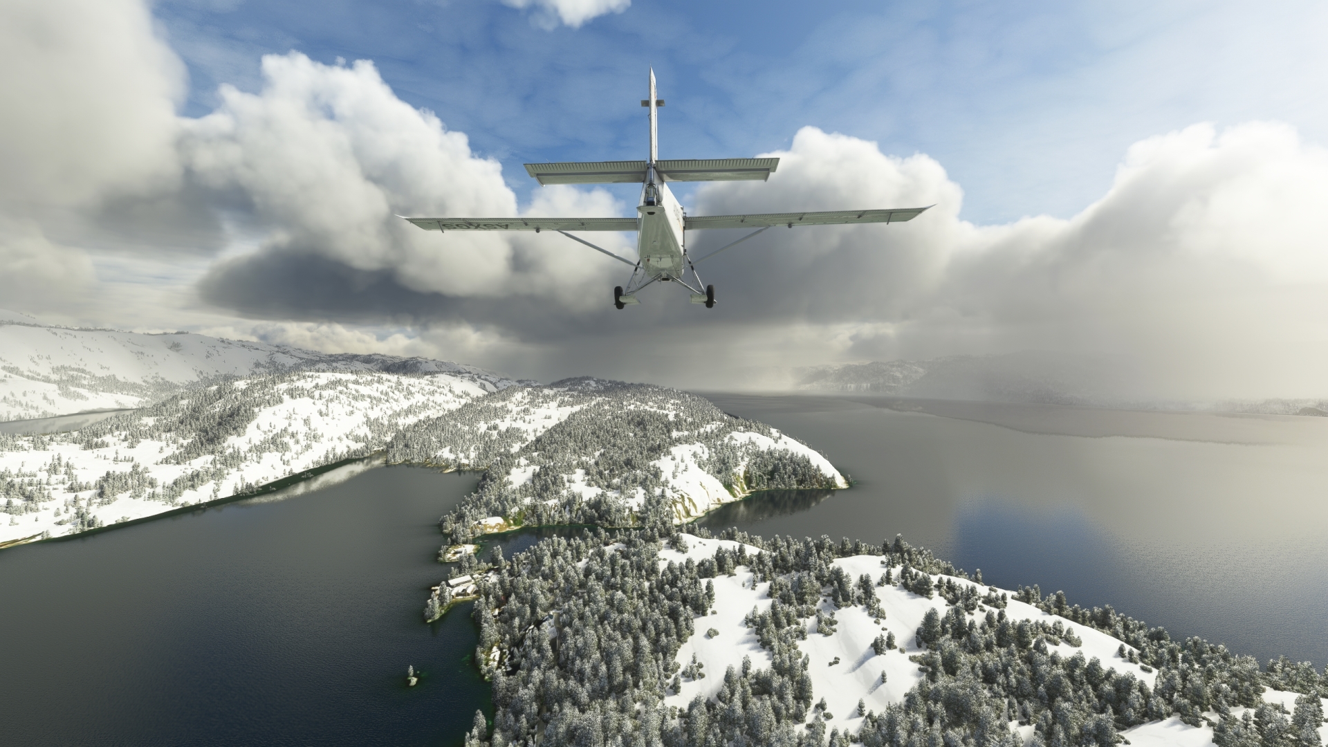
After taking off from Sisimiut Airport, set a course to the east-southeast and fly along the general trend of the Amerloq Fjord. The town of Sarfannguit is located where Amerloq Fjord meets the Imartuninnguaq Strait along a small natural channel.
Sarfannguit lies within the “Aasivissuit – Nipisat: Inuit Hunting Ground between Ice and Sea,” a UNESCO World Heritage site that preserves the rich archaeological remnants of a number of hunter-gatherer cultures of the region dating back 4,000 years.
Sarfannguid(POI9) to Avalleq Fjord(POI10)
Distance: 13.15NM Bearing: 138° 6 minutes
Turn slightly south and follow the southern edge of the Avalleq Fjord.

Avalleq Fjord(POI10) to Kangerlussuaq Fjord(POI11)
Distance: 13.53NM Bearing: 135° 6 minutes
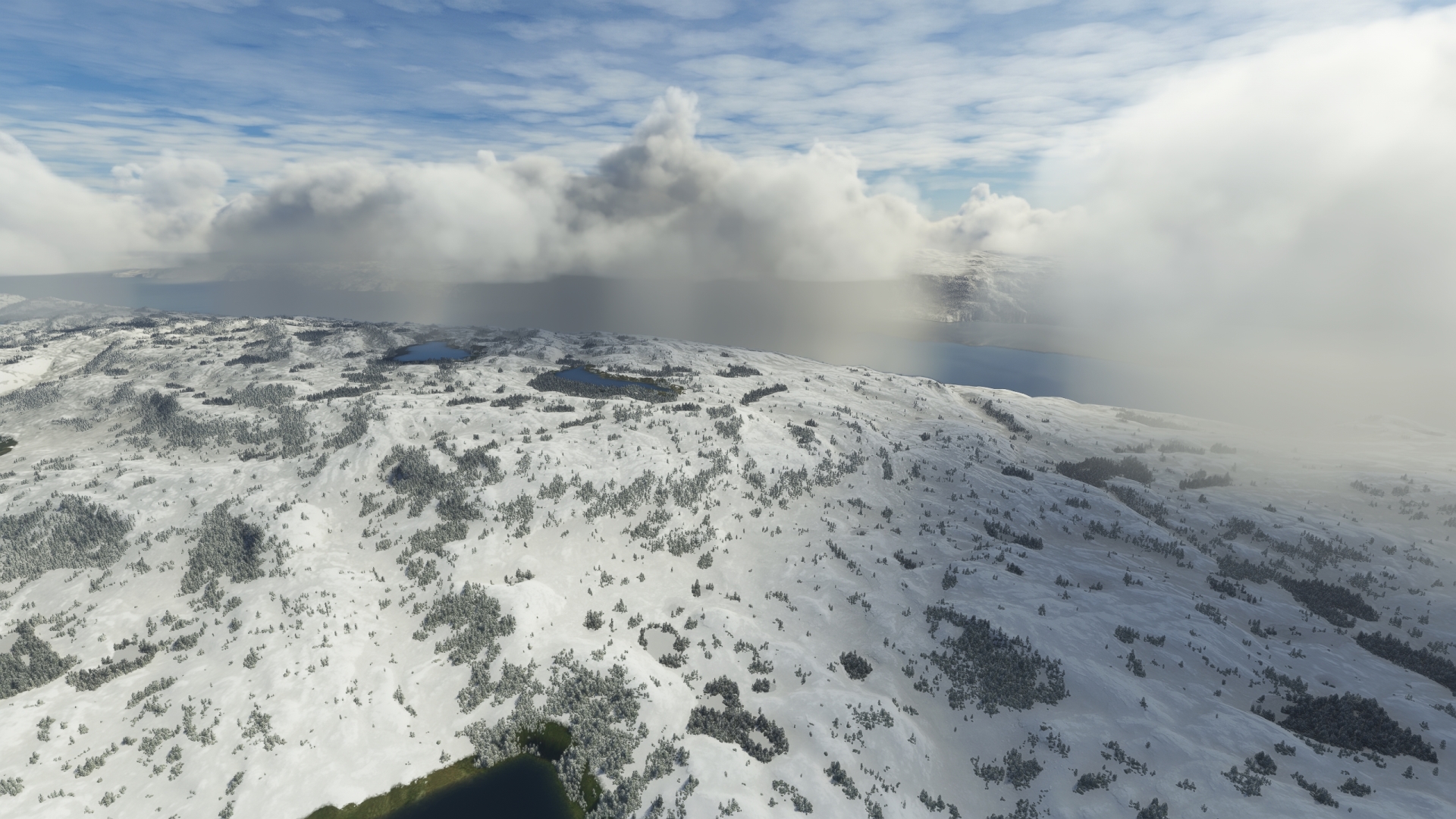
Maintain heading and gain a visual on Kangerlussuaq Fjord, which measures 120 miles long and ranges in width from just under one mile to approximately five miles. Continue on course from Avalleq Fjord to the northern shore of Kangerlussuaq Fjord.
Kangerlussuaq Fjord(POI11) to Kangerlussuaq Airport(BGSF)
Distance: 30.98NM Bearing: 83° 15 minutes
Continue following the north shore of Kangerlussuaq Fjord. The town of Kangerlussuaq and Kangerlussuaq Airport are located at the head of the fjord.
The airport and town trace their lineages to the establishment of the U.S. military airbase “Bluie West Eight” (BW-8) in October of 1941 by the United States Army Air Forces due to World War II. The airfield’s primary missions and name changed through the decades, and today the airport is notable as one of only two civilian airports in Greenland with a runway long enough to accommodate large airliners.
Land at the airport to finish this leg of the bush trip.

Leg 5
Kangerlussuaq Airport to Maniitsoq Airport
Leg Distance: 128.64 Approximate time at 125kts: 62 minutes.
Kangerlussuaq Airport(BGSF) to Kangerlussuaq Fjord Mouth(POI12)
Distance: 88.03NM Bearing: 256° 42 minutes
Launch from Kangerlussuaq Airport and set a course to the southwest, following the path of the Kangerlussuaq Fjord to its opening with the Davis Strait, an arm of the Atlantic Ocean.
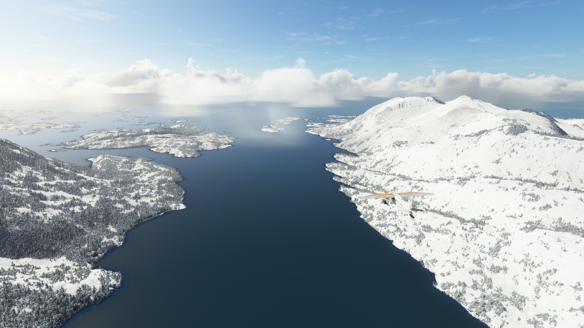
Kangerlussuaq Fjord Mouth(POI12) to Kangaamiut(POI13)
Distance: 13.91NM Bearing: 194° 7 minutes
Near the opening of the Kangerlussuaq Fjord to the Davis Strait, gain a visual on Simiutaq Island, which is bounded on the south by the Kangerlussuaq Fjord and on the north by a north arm of the fjord. Just west of the confluence of the north arm and the main arm of the Kangerlussuaq Fjord, turn onto a south-southeast course. Kangaamiut, founded in 1755 as a whaling center, lies on the south side of an island bounded on the south by Kangerlussuatsiaq Fjord and on the north by Kangaamiut Kangerluarsuat Fjord, both large fjords in the region.
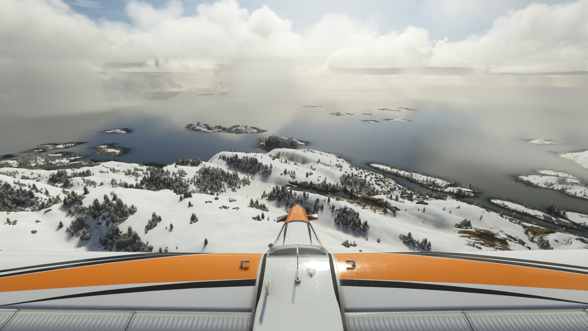
Kangaamiut(POI13) to Maniitsoq Airport(BGMQ)
Distance: 26.7NM Bearing: 184° 13 minutes
Adjust course slightly to the east once over Kangaamiut and use the NDB Maniitsoq (MA), 391.0 kHz, which will indicate the course to the next landing site. Cross the mouth of the Kangerlussuaq Fjord, which meets the Davis Strait there. Pass over Kuuit Island on the south side of Kangerlussuaq Fjord and sight Sermersuut Island, an uninhabited, mountainous island. Pass over the island and then cross the Ammarqoq Sound and reach Maniitsoq Island. Land at Maniitsoq Airport, which is located on the western side of a peninsula on the southern end of Maniitsoq Island, just west of the village of Maniitsoq.

Leg 6
Maniitsoq Airport to Nuuk Airport
Leg Distance: 85.14 Approximate time at 125kts: 41 minutes.
Maniitsoq Airport(BGMQ) to Ikerasak(POI14)
Distance: 21NM Bearing: 153° 10 minutes
At Maniitsoq, Set a course of 154° M and pass over a series of small islands and large fjord openings. Gain a visual on Ikerasak, a small village on a northeast-southwest trending peninsula bounded on the north by Alanngua Fjord and on the south by Kangia Fjord.
Gain a visual on a long northeast-southwest trending peninsula that is bounded on the north by Alanngua Fjord and on the south by Kangia Fjord. A small strait separates the peninsula from Qôrnormiut Island to the peninsula’s southwest. The small village of Ikerasak, today abandoned, is located on the southwest tip of the peninsula.

Ikerasak(POI14) to Napasoq(POI15)
Distance: 9.63NM Bearing: 222° 5 minutes
Turn on a south-southwesterly course and fly over the northeastern half of Qôrnormiut Island. Pass over open water and sight a large island with a group of smaller islands to its southwest. Skirt the western edge of the large island and gain a visual on the island on the western midsection of the group. Napasoq is located on the southern end of this island.
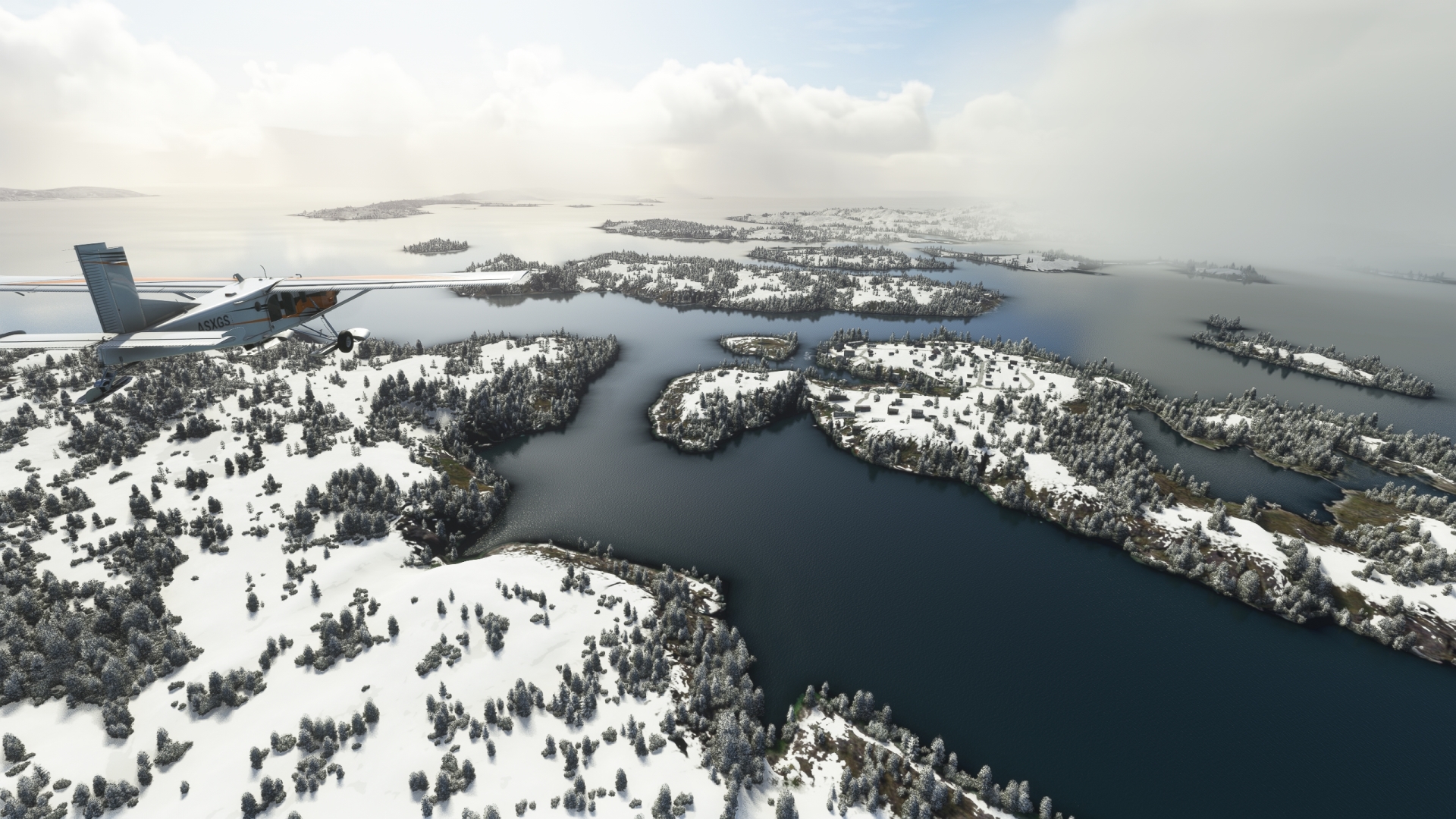
Napasoq(POI15) to Atammik(POI16)
Distance: 15.45NM Bearing: 186° 7 minutes
Over Napasoq, turn onto a south-southeast course and fly over the northern tip of Talerulik Island, which is elongated in shape and oriented northeast-southwest. Fly just to the west of oval-shaped Teqqarnat Island and gain a visual on the Toqqusap Nunaa Peninsula. Fly along its western shore and sight a secondary peninsula extending to the southwest of the main Toqqusap Nunaa Peninsula. Atammik is located at the southern end of this secondary peninsula.

Atammik(POI16) to Nuuk Airport(BGGH)
Distance: 39.06NM Bearing: 186° 19 minutes
Maintain heading, using the NDB Nuuk (GH), 314.0 kHz, as a guide to the final landing zone of this journey. Cross the opening of a large fjord where it enters the Labrador Sea, then cross over the northern edge of a broad peninsula. Gain a visual on a series of northeast-southwest trending lakes on the peninsula and overfly them, then fly over the Nuup Kangerlua fjord, one of the longest fjords in this part of Greenland. Nuuk, the capital of Greenland and its most populous city with 20,000 inhabitants, lies on the southern shore of the fjord. Nuuk has a history of human presence dating back more than 2,000 years and includes colonization by Viking settlers. The modern city was established in the early 1700s and today more than one third of all of Greenland’s inhabitants live in Nuuk. Nuuk Airport lies on the east side of the city. Land at Nuuk Airport to bring this exploration of Greenland to an end.

