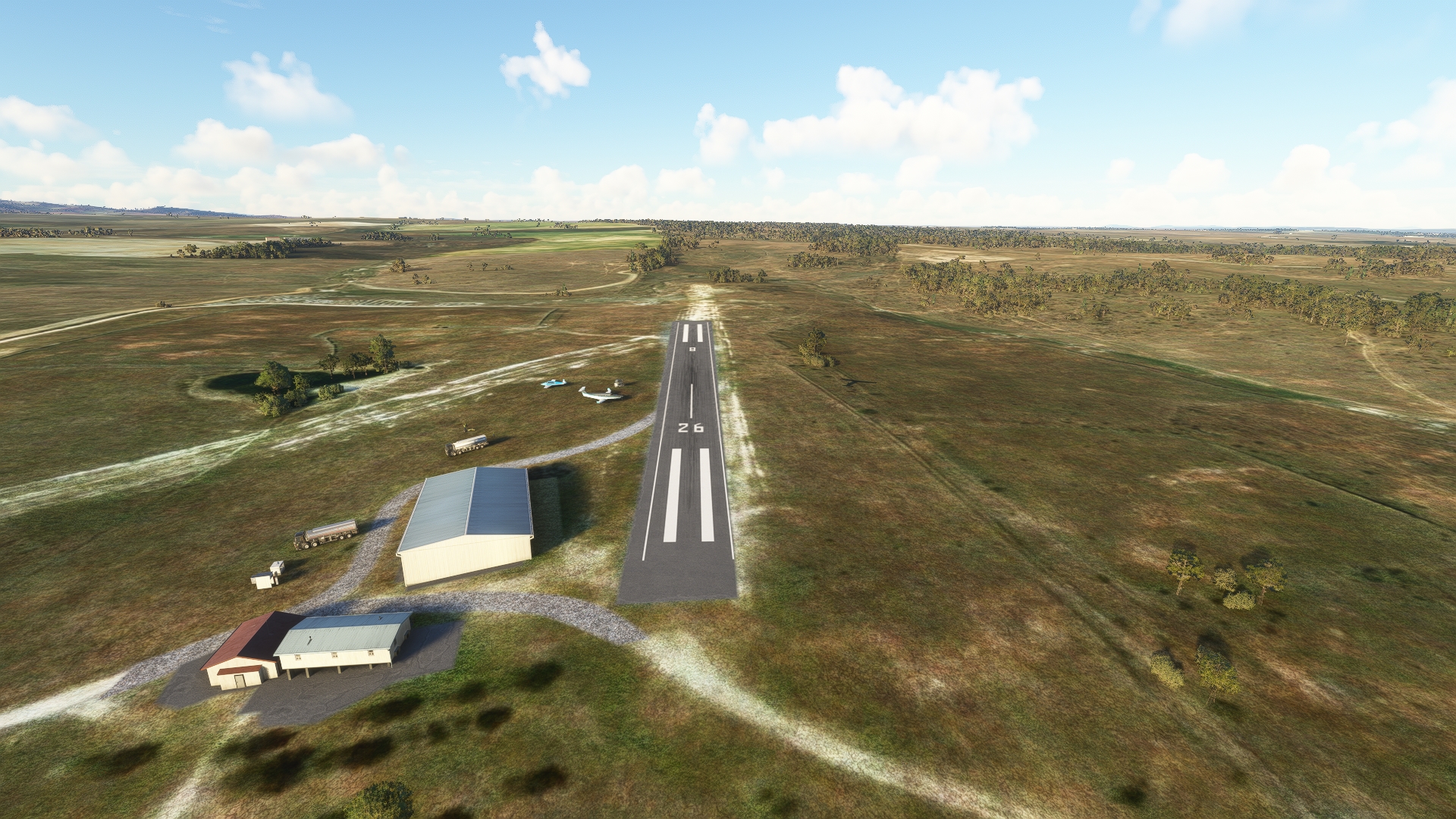
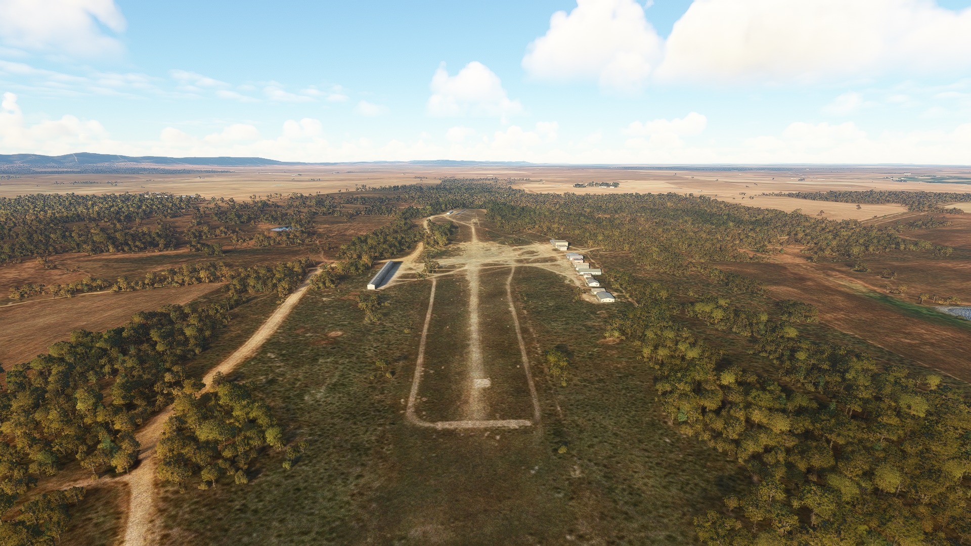
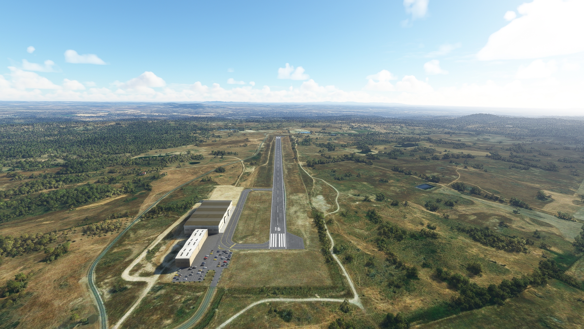
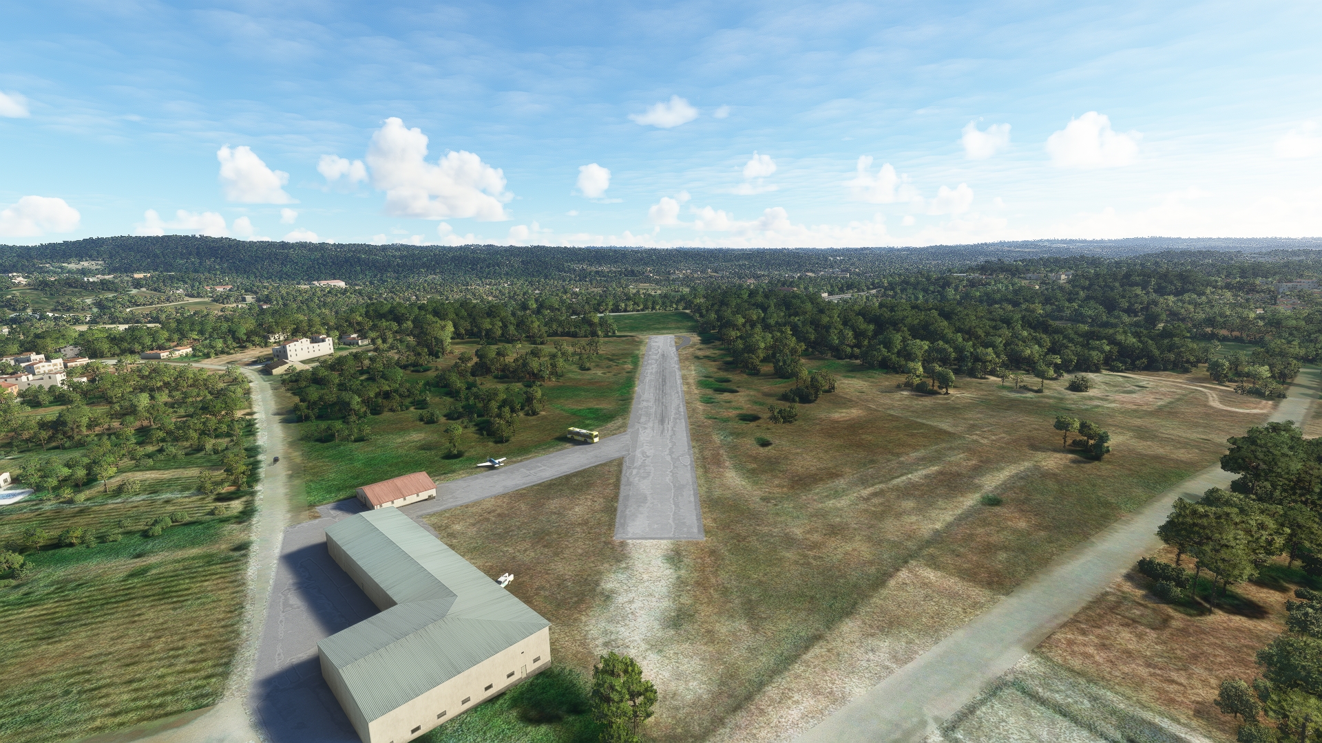
Beginning just outside of Madrid, Spain, the Iberian Connection flight takes you west, through Portugal, to the Atlantic coast, ending at Lisbon, Portugal’s capital and largest city.
This incredible journey highlights some of the best that this part of the world has to offer.
You’ll experience mountain views, pastoral vistas, intriguing architecture, and rugged coastline.
Assistance on the trip will be available in the form of a ‘Back on Track’ button on the VFR Map — however, be advised that using this will disable achievements tied to the activity.
Total Legs: 7 Total Distance: 367 Total Time(125kts): 2 hours 56 minutes
Leg 1
Barajas to El Tietar
Leg Distance: 64.7 Approximate time at 125kts: 31 minutes.
Barajas(LEMD) to Madrid(POI1)
Distance: 8.02NM Bearing: 239° 4 minutes
After lifting off from Adolfo Suárez Madrid–Barajas Airport, head southwest, toward the city center of Madrid, the capital and largest population center in Spain.
Madrid(POI1) to Pantano de Valmayor(POI2)
Distance: 17.84NM Bearing: 298° 9 minutes
From Madrid, fly to the northwest, into the highlands outside of the city, to Pantano de Valmayor, a large reservoir.
Pantano de Valmayor(POI2) to Embalse de San Juan(POI3)
Distance: 15.97NM Bearing: 234° 8 minutes
Turn into southwesterly heading to fly over another large reservoir, Embalse de San Juan.
Embalse de San Juan(POI3) to Pedrtalaves(POI4)
Distance: 16.89NM Bearing: 256° 8 minutes
Fly on a west-southwesterly course to the town of Piedralaves, which lies at the foot of a large wall of mountains.
Pedrtalaves(POI4) to El Tietar(LETI)
Distance: 5.98NM Bearing: 224° 3 minutes
From Piedralaves, set a course to the southwest and land at El Tietar Airport.

Leg 2
El Tietar to Aeródromo De Aldeacentenara
Leg Distance: 57.91 Approximate time at 125kts: 28 minutes.
El Tietar(LETI) to Buenaventura(POI5)
Distance: 5.08NM Bearing: 214° 2 minutes
Once in the air again, set a course to the southwest, to the small village of Buenaventura.
Buenaventura(POI5) to Embalse Navalcan(POI6)
Distance: 14.52NM Bearing: 231° 7 minutes
Continue on a southwesterly course after passing over Buenaventura to visit Embalse de Navalcán, a reservoir.
Embalse Navalcan(POI6) to Embalse de Valdecanas(POI7)
Distance: 17.59NM Bearing: 228° 8 minutes
Maintaining a southwesterly course, fly over another large reservoir, Embalse de Valdecañas.
Embalse de Valdecanas(POI7) to Rio Ibor(POI8)
Distance: 9.25NM Bearing: 219° 4 minutes
From Embalse de Valdecañas, continue on your southwesterly course to the Rio Ibor.
Rio Ibor(POI8) to Aerodromo De Aldeacentenara(LEAZ)
Distance: 11.47NM Bearing: 219° 6 minutes
Land at Alcazaren Aerodrome, southwest of Rio Ibor.

Leg 3
Aeródromo De Aldeacentenara to Aeroclub Cáceres
Leg Distance: 35.24 Approximate time at 125kts: 17 minutes.
Aerodromo De Aldeacentenara(LEAZ) to Trujillo(POI9)
Distance: 11.79NM Bearing: 239° 6 minutes
Back n the air, fly southwest over the highlands of western Spain to the small city of Trujillo.
Trujillo(POI9) to Embalse del Gallo(POI10)
Distance: 16.18NM Bearing: 246° 8 minutes
Embalse del Gallo, a small reservoir in Spains highlands, lies to the southwst of Trujillo.
Embalse del Gallo(POI10) to Rio Salar(POI11)
Distance: 3.03NM Bearing: 278° 1 minutes
Just west of Embalse del Gallo lies Rio Salar.
Rio Salar(POI11) to Aeroclub Caceres(LEAD)
Distance: 4.24NM Bearing: 251° 2 minutes
Land at Aeroclub Cáceres Airport, which lies just to the southwest of Rio Salar.

Leg 4
Aeroclub Cáceres to Castelo Branco
Leg Distance: 60.54 Approximate time at 125kts: 29 minutes.
Aeroclub Caceres(LEAD) to Arrojo de la Luz(POI12)
Distance: 14.28NM Bearing: 311° 7 minutes
After taking to the Iberian skies once again, fly to the northwest to Arroyo de la Luz, a small city in central-western Spain.
Arrojo de la Luz(POI12) to Brozas(POI13)
Distance: 11.95NM Bearing: 311° 6 minutes
Continue on a northwestward heading to the small town of Brozas.
Brozas(POI13) to Rio Tajo(POI14)
Distance: 10.82NM Bearing: 291° 5 minutes
Turn into west-northwest heading to visit Rio Tajo, the Tagus River, the longest river in the Iberian Peninsula.
Rio Tajo(POI14) to Monforte da Beira(POI15)
Distance: 14.39NM Bearing: 286° 7 minutes
After crossing the border with Portugal, which runs along much of the length of the Tagus River, maintain a west-northwesterly heading to reach the portuguese village of Monforte da Beira.
Monforte da Beira(POI15) to Castelo Branco(LPCB)
Distance: 9.1NM Bearing: 315° 4 minutes
Set a heading to the northwest and land at Castelo Branco Airport.

Leg 5
Castelo Branco to Campo De Voo De Valdonas
Leg Distance: 48.91 Approximate time at 125kts: 23 minutes.
Castelo Branco(LPCB) to Castelo Branco(POI16)
Distance: 2.73NM Bearing: 246° 1 minutes
After launching, fly southwest to the city of Castelo Branco.
Castelo Branco(POI16) to Vila Velha de Rodao(POI17)
Distance: 13.16NM Bearing: 220° 6 minutes
Continue on a southwest course to the small city of Vila Velha de Ródão.
Vila Velha de Rodao(POI17) to Amendoa(POI18)
Distance: 18.17NM Bearing: 271° 9 minutes
Head due west to the hamlet of Amêndoa.
Amendoa(POI18) to Abufeira de Castelo do Bode(POI19)
Distance: 7.92NM Bearing: 264° 4 minutes
Continue on your heading to Albufeira de Castelo do Bode, a large, north-south trending reservoir in central Portugal.
Abufeira de Castelo do Bode(POI19) to Campo De Voo De Valdonas(LPTO)
Distance: 6.93NM Bearing: 245° 3 minutes
Turn into a southwest heading and land at Campo de Voo de Valdonas Airport.

Leg 6
Campo De Voo De Valdonas to Aerodromo De Atouguia Da Baleia
Leg Distance: 49.22 Approximate time at 125kts: 24 minutes.
Campo De Voo De Valdonas(LPTO) to Entroncamento(POI20)
Distance: 8.43NM Bearing: 216° 4 minutes
Fly to the southwest to the city of Entroncamento.
Entroncamento(POI20) to Amiais de Baixo(POI21)
Distance: 12.14NM Bearing: 261° 6 minutes
Head west from Entroncamento, over patchworks of agriculture fields to the town of Amiais de Baixo.
Amiais de Baixo(POI21) to Benedicta(POI22)
Distance: 11.39NM Bearing: 266° 5 minutes
Continue west, over pastoral landscapes, to the town of Benedita.
Benedicta(POI22) to Lagoa de Obidos(POI23)
Distance: 10.54NM Bearing: 265° 5 minutes
Maintain a westerly heading to reach Lagoa de Óbidos, a lagoon at Portugal’s Atlantic coast.
Lagoa de Obidos(POI23) to Ferrel(POI24)
Distance: 5.73NM Bearing: 246° 3 minutes
Turn to the southwest and meet the Atlantic coastline at the hamlet of Ferrel.
Ferrel(POI24) to Aerodromo De Atouguia Da Baleia(LPAT)
Distance: 0.99NM Bearing: 191° 0 minutes
Land at Atouguia da Baleia Airport, due south of Ferrel.

Leg 7
Aerodromo De Atouguia Da Baleia to Lisbon
Leg Distance: 50.73 Approximate time at 125kts: 24 minutes.
Aerodromo De Atouguia Da Baleia(LPAT) to Sao Bernardino(POI25)
Distance: 2.5NM Bearing: 202° 1 minutes
Once back in the sky, head south-southwest to the seaside village of Sao Bernardino, which lies just to the south of a prominent point of land jutting into the Atlantic Ocean.
Sao Bernardino(POI25) to Lourinha(POI26)
Distance: 4.07NM Bearing: 164° 2 minutes
Follow the coastline south to the city of Lourinhã.
Lourinha(POI26) to Ericeira(POI27)
Distance: 17.45NM Bearing: 197° 8 minutes
Continue tracking the Atlantic coast southward to the popular resort Ericeira, which is considered the surfing captial of Europe.
Ericeira(POI27) to Agualva-Cacem(POI28)
Distance: 12.89NM Bearing: 157° 6 minutes
Head south-southeast from Ericeira, tracking inland of the coast, to the city of Agualva-Cacém.
Agualva-Cacem(POI28) to Cruz Quebrada – Dafundo(POI29)
Distance: 4.92NM Bearing: 146° 2 minutes
Continue on a south-southeasterly course to Cruz Quebrada – Dafundo, a town on the north shore of the Tagus River, just inland of where it meets the Atlantic Ocean.
Cruz Quebrada – Dafundo(POI29) to Lisbon(POI30)
Distance: 5.29NM Bearing: 83° 3 minutes
Follow the Tagus River east to Lisbon, Portugal’s capital and most populous city.
Lisbon(POI30) to Lisbon(LPPT)
Distance: 3.61NM Bearing: 358° 2 minutes
From Lisbon, turn due north and land at Lisbon Airport, to bring this journey through the heart of the Iberian Peninsula to an end.

