New Caledonia is a French territory in the southwest Pacific Ocean. Located approximately 1,000 miles due east of Queensland, Australia, New Caledonia comprises over 140 islands and islets and lies within the Melanesia region of Oceania. The region consists of the island of New Caledonia, also called Grande Terre, and the archipelagos of the Loyalty Islands, the Belep Islands, L’Île-des-Pins, and the Chesterfield Islands.
British navigator James Cook bestowed the name to the islands in 1774 as it reminded him of Scotland (Caledonia is a Latin name that was in use during the Roman Empire for the area that would become Scotland). The region experienced a long history of colonization, notably by the French, who at one time used it as a penal colony. Today it is a ‘sui generis collectivity’ (special status collectivity) of France, and as such, a popular French tourist destination.
This bush trip focuses on the island of New Caledonia, circumnavigating it starting at its capital, Nouméa. The island measures 250 miles in length by 40 miles wide (at its widest), and is oriented northwest-southeast. The result of tectonic collisions and rifting, the island is one of the most geologically diverse regions on the planet. On this journey, pilots are treated to sights from beautiful stretches of coastline to its highest point, Mont Panié at 5,341 feet above sea level.
Total Legs: 8 Total Distance: 430 Total Time(125kts): 3 hours 26 minutes
Leg 1
Magenta to Yate-Barrage Airport
Leg Distance: 62.3 Approximate time at 125kts: 30 minutes.
Magenta(NWWM) to Le Mont-Dore(POI1)
Distance: 2.33NM Bearing: 358° 1 minutes
After lifting off from Nouméa Magenta Airport, head to the north, flying just inland along a small peninsula to the city center of Le Mont-Dore.
Le Mont-Dore(POI1) to Coulee River(POI2)
Distance: 5.49NM Bearing: 85° 3 minutes
Turn to the east, flying just inland of the water, and pass just north of the small community of Saint-Michel and fly over the mouth of the Coulee river.
Coulee River(POI2) to Pirogues River(POI3)
Distance: 7.38NM Bearing: 111° 4 minutes
Follow the general trend of the coastline on a southeast heading, staying just inland. Sight the Pirogues River in the distance, a major waterway in southwestern New Caledonia.
Pirogues River(POI3) to Goro(GORO)
Distance: 18.06NM Bearing: 75° 9 minutes
From the Pirogues River, turn east and cut across the southern extremity of New Caledonia to the southeastern tip of the island at the town of Goro. The town was established to service the Goro Mine, one of the most important nickel mines in the world.
Goro(GORO) to Yaté River(POI4)
Distance: 9.35NM Bearing: 316° 4 minutes
From Goro, turn into a northwest heading, paralleling the coastline, staying just inland of the shoreline. Sight the Yaté River in the distance, where it empties into the ocean. The river drains Yaté Lake, a reservoir formed by the Yaté dam (placed on the Yaté River). The water from the reservoir is important for processing nickel ore at the Goro Mine.
Yaté River(POI4) to Mamié(MAMI?)
Distance: 5.73NM Bearing: 333° 3 minutes
Turn slightly to the east for a north-northwest heading and reach the ocean at the small village of Mamié, which lies nestled between the sea and mountains.
Mamié(MAMI?) to Ouinne(POI5)
Distance: 12.72NM Bearing: 278° 6 minutes
Turn onto a northwest heading, paralleling the coastline, remaining just inland. Sight the Pourina River in the distance where it empties into the ocean. Just beyond the Pourina, sight Ouinne Bay. The small village of Ouinne lies deep within Ouinne Bay near the juncture of the Ouinne River and the Bay.
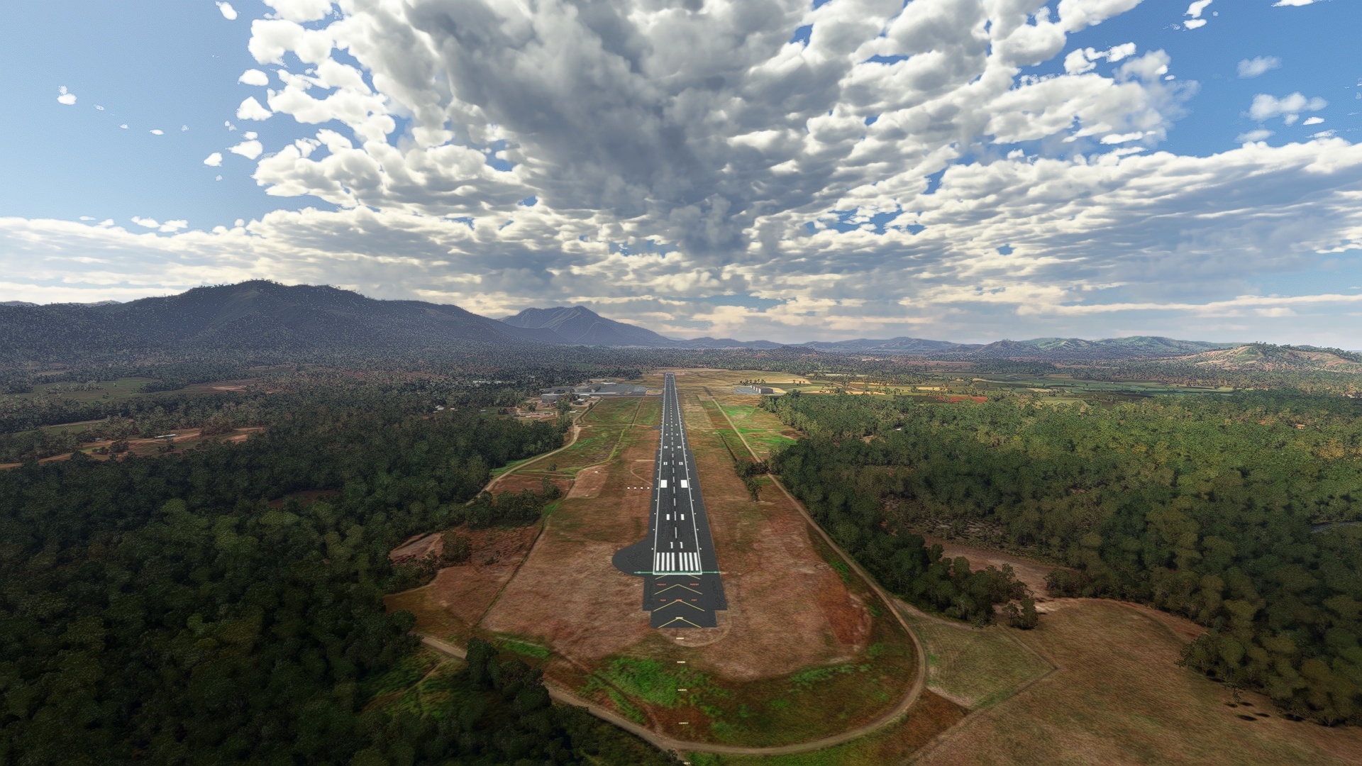
Ouinne(POI5) to Yate-Barrage Airport(NWYA)
Distance: 1.24NM Bearing: 307° 1 minutes
Land at Yate-Barrage Airport, which lies just to the north of Ouinne at the base of a mine.

Leg 2
Yate-Barrage Airport to Canala
Leg Distance: 49.24 Approximate time at 125kts: 24 minutes.
Yate-Barrage Airport(NWYA) to Kouakoué Bay(POI6)
Distance: 4.53NM Bearing: 307° 2 minutes
Back in the air after launching from Yate-Barrage Airport, sight Kouakoué Bay in the distance, where the Kouakoué River meets the Pacific Ocean. This is an uninhabited portion of New Caledonia, and is filled with vistas of pristine coastlines and low hills.
Kouakoué Bay(POI6) to Ni River(POI7)
Distance: 3.83NM Bearing: 290° 2 minutes
Continue following the coastline from Kouakoué Bay and gain a visual on the Ni River where it meets the Pacific Ocean.
Ni River(POI7) to Comboui River(POI8)
Distance: 8.22NM Bearing: 307° 4 minutes
Sight the Ngoy River where it meets the Pacific Ocean at Ngoy Bay. Just beyond the Ngoy River lies the Comboui River. The Comboui River meets the ocean at an intricate delta comprising low islands and marshes.
Comboui River(POI8) to Tupeti Island(POI9)
Distance: 4.95NM Bearing: 323° 2 minutes
From the Comboui River, continue on a north-northwest course and pass over the coastline at the small village of Grand Borindi. Pass over a small channel to reach Tupeti Island, an uninhabited island rich with mangroves.
Tupeti Island(POI9) to Nemu Island(POI10)
Distance: 2.79NM Bearing: 288° 1 minutes
To the northwest of Tupeti Island lies Nemu Island, an uninhabited island surrounded by coral reefs and white sand beaches.
Nemu Island(POI10) to Saint Philipo II(POI11)
Distance: 9.19NM Bearing: 281° 4 minutes
From Nemu Island, rejoin the coastline of New Caledonia by flying to the northwest. Fly over the small village of Saint Gabriel, then reach the town of Saint Philipo II, located where the Thio River meets the ocean.
Saint Philipo II(POI11) to Nakety(POI12)
Distance: 11.49NM Bearing: 278° 6 minutes
From Saint Philipo II, sight Nakety Bay to the northwest. Just inland of the bay lies the small hamlet of Nakety, built amid lushly forested hillsides.
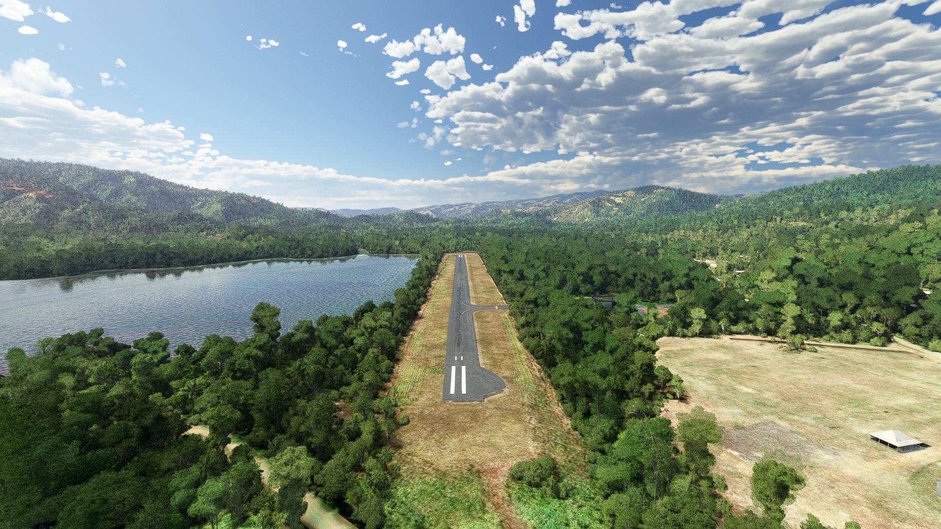
Nakety(POI12) to Canala(NWWX)
Distance: 4.24NM Bearing: 279° 2 minutes
Sight Canala Bay in the distance and land at Canala Airport, which lies at the southern extremity of the bay.
Leg 3
Canala to Nesson
Leg Distance: 26.1 Approximate time at 125kts: 13 minutes.
Canala(NWWX) to Canala Bay(POI13)
Distance: 4.13NM Bearing: 314° 2 minutes
Lift off from Canala Airport and skirt the western shore of Canala Bay.
Canala Bay(POI13) to Kouaoua(POI14)
Distance: 7.06NM Bearing: 293° 3 minutes
From Canala Bay, gain a visual on Kouaoua Bay to the northwest. The village of Kouaoua, which was built to support local mining, lies on the western shore of the bay where the Kaviju and Kouaoua rivers meet the bay.
Kouaoua(POI14) to Koua River(POI15)
Distance: 4.8NM Bearing: 301° 2 minutes
Continue on a northwest course, remaining inland of the coastline, and fly over the Koua River where it makes a prominent hairpin turn just inland of where it meets the ocean.
Koua River(POI15) to Koua Valley(POI16)
Distance: 2.29NM Bearing: 269° 1 minutes
From the Koua River, turn slightly to the west and fly over the Koua Valley, a lush riparian corridor.
Koua Valley(POI16) to Poro(PORO)
Distance: 1.94NM Bearing: 322° 1 minutes
Meet the ocean again at the mining town of Poro.
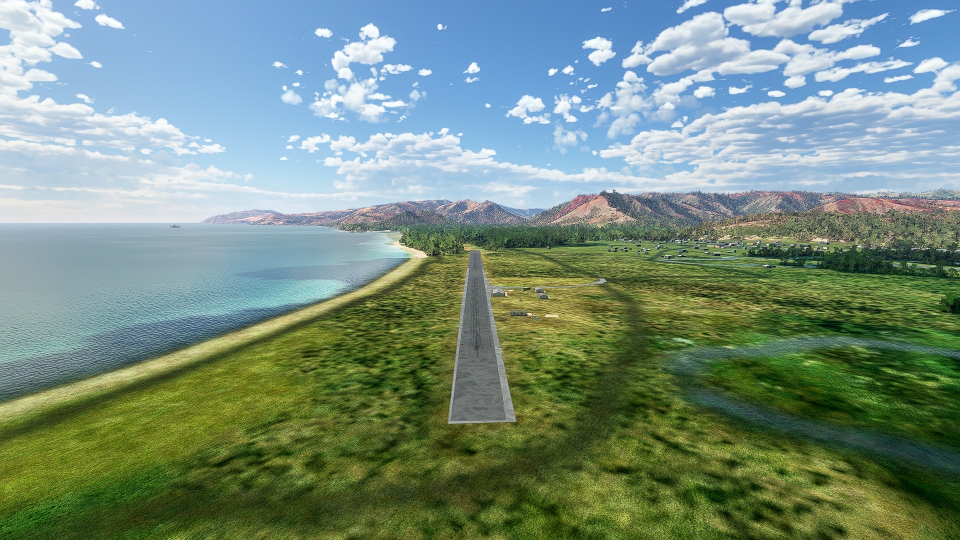
Poro(PORO) to Nesson(NWWH)
Distance: 5.88NM Bearing: 286° 3 minutes
From Poro, follow the coastline and sight the Houailou River where it meets the Pacific Ocean. Land at Houailou Airport, located just to the northwest of the river.
Leg 4
Nesson to Touho
Leg Distance: 36.4 Approximate time at 125kts: 17 minutes.
Nesson(NWWH) to Lebris Bay(POI17)
Distance: 4.27NM Bearing: 310° 2 minutes
After lifting into the sky once again at Houailou Airport, sight a long, narrow bay in the distance, Lebris Bay.
Lebris Bay(POI17) to Ponérihouen(POI18)
Distance: 11.98NM Bearing: 296° 6 minutes
From Lebris Bay, continue to the northwest, paralleling the coastline, staying just inland. Pass over the Moneo River, then the Mou River, and then sight the Ponérihouen River. The village of Ponérihouen is located along a prominent bend of the river just inland of the ocean.
Ponérihouen(POI18) to Tchambe River(POI19)
Distance: 4.01NM Bearing: 330° 2 minutes
Pass over the Tchambe River, located just to the north-northwest of Ponérihouen.
Tchambe River(POI19) to Poindimié(POI20)
Distance: 5.05NM Bearing: 320° 2 minutes
Continue on a north-northwest course, passing inland of a large coastal prominence. Rejoin the coastline at the small village of Poindimié, located where the Ina River meets the Pacific Ocean.
Poindimié(POI20) to Tiwaka River(POI21)
Distance: 6.41NM Bearing: 299° 3 minutes
From Poindimié, head to the northwest and pass over the mouth of the Amoa River, then reach the Tiwaka River, where it meets the ocean.
Tiwaka River(POI21) to Touho(NWWU)
Distance: 4.68NM Bearing: 352° 2 minutes
From the Tiwaka River, turn to the north-northeast and follow the coastline to Touho Airport, which is built on a small artificial island directly off the natural shoreline.

Leg 5
Touho to Poum Malabou
Leg Distance: 90.78 Approximate time at 125kts: 44 minutes.
Touho(NWWU) to Pindache(POI22)
Distance: 15.31NM Bearing: 278° 7 minutes
From Touho Airport, skirt the coastline to the northwest to reach the small hamlet of Pindache, which lies between the Tipindje River where it meets the ocean and Hienghene Bay.
Pindache(POI22) to Ouaieme River(POI23)
Distance: 9.73NM Bearing: 286° 5 minutes
Pass over Hienghene Bay and parallel the coastline to the Ouaieme River where it opens to the Pacific.
Ouaieme River(POI23) to Mont Panié(POI24)
Distance: 5.03NM Bearing: 285° 2 minutes
From the Ouaieme River, sight Mont Panié to the northwest. Set a heading toward its summit and gain altitude. At 5,341 feet above sea level, it is the highest mountain in New Caledonia.
Mont Panié(POI24) to Pouébo(POI25)
Distance: 16.06NM Bearing: 305° 8 minutes
After passing over the summit of Mont Panié, reduce altitude and parallel the coastline to reach the small community of Pouébo.
Pouébo(POI25) to Tiari(TIARI)
Distance: 15.11NM Bearing: 292° 7 minutes
Continue following the coastline to the small village of Tiari, where the region’s steep mountains meet the Pacific Ocean.
Tiari(TIARI) to Balabio Island(POI26)
Distance: 11.28NM Bearing: 299° 5 minutes
From Tiari, maintain a course to the northwest and pass over the Alcmene Channel and then the Balabio Reef to reach Balabio Island.
Balabio Island(POI26) to Mouac Island(POI27)
Distance: 11.87NM Bearing: 231° 6 minutes
From Balabio Island, turn into a southwest heading and pass over the far northern extremity of New Caledonia. Pass over a shallow strait and reach Mouac Island.
Mouac Island(POI27) to Poum Malabou(NWWP)
Distance: 6.39NM Bearing: 120° 3 minutes
From Mouac Island, turn onto a southeast heading and sight a wide peninsula in the distance. Poum Airport lies at the base of the peninsula, inland of Bouerabat Point.

Leg 6
Poum Malabou to Kone
Leg Distance: 63.99 Approximate time at 125kts: 31 minutes.
Poum Malabou(NWWP) to Nehoue Bay(POI28)
Distance: 4.4NM Bearing: 121° 2 minutes
Take off from Poum Airport and set a course to the southeast. Fly out over Nehoue Bay, passing just to the west of a small, circular island, Poum Island.
Nehoue Bay(POI28) to Koumac(POI29)
Distance: 14.62NM Bearing: 140° 7 minutes
From Nehoue Bay, pass back over land, maintaining a course to the southeast. Parallel the coastline, flying just inland of the coast. Gain a visual on the Koumac River in the distance. The town of Koumac lies where the river meets the ocean.
Koumac(POI29) to Kaala-Gomen(POI30)
Distance: 9.34NM Bearing: 124° 4 minutes
From Koumac, pick up Route 1 and parallel the highway to the community of Kaala-Gomen, which lies just inland of a small bay on the Pacific Ocean.
Kaala-Gomen(POI30) to Ouaco(OUACO)
Distance: 11.09NM Bearing: 146° 5 minutes
Continue following Route 1 southeast from Kaala-Gomen. The highway parallels the coast to the small town of Ouaco, and then strikes inland. The town lies just inland of the Pacific coast.
Ouaco(OUACO) to Voh(VOH)
Distance: 13.45NM Bearing: 107° 6 minutes
Maintain a course to the southeast, flying inland of the coastline. Sight a prominent peninsula in the distance, the Voh Peninsula. The town of Voh lies just inland of the base of the peninsula. Voh is supported by the nearby Koniambo nickel mine.
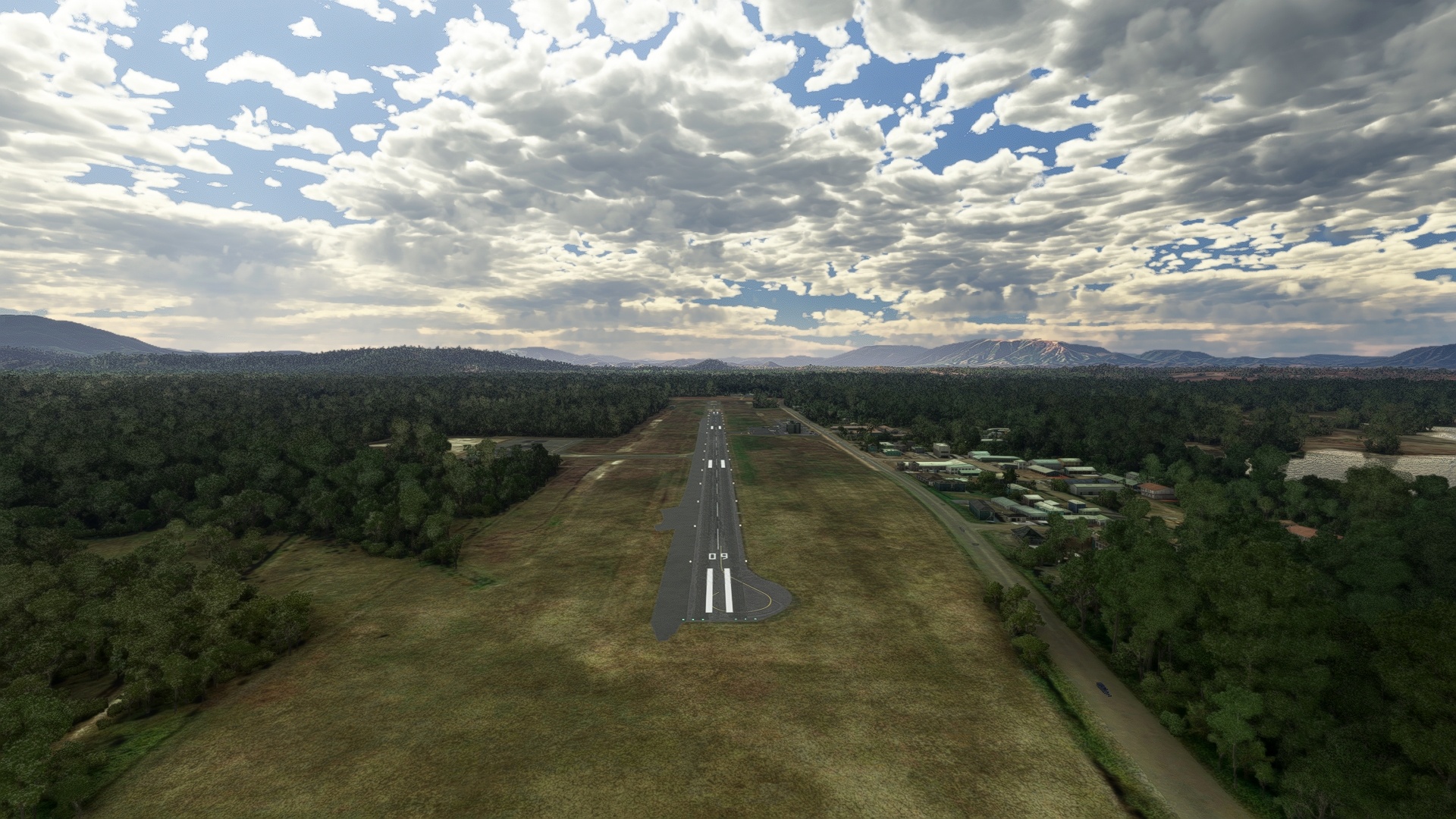
Voh(VOH) to Kone(NWWD)
Distance: 11.09NM Bearing: 115° 5 minutes
From Voh, fly over the Koniambo mine, then gain a visual on Kone Bay. Kone Airport lies just inland of Kone Bay along Route 1.
Leg 7
Kone to Poe
Leg Distance: 48.83 Approximate time at 125kts: 23 minutes.
Kone(NWWD) to Tarbeville(POI31)
Distance: 10NM Bearing: 153° 5 minutes
Launch from Kone Airport and fly to the south-southeast, skirting the shore of Kone Bay. Fly over Tarbeville, which lies just inland of a small coastal prominence.
Tarbeville(POI31) to Nepoui(POI32)
Distance: 8.89NM Bearing: 123° 4 minutes
From Tarbeville, gain a visual on Mueo Bay, which is divided by a small peninsula. The town of Nepoui lies at the head of the peninsula.
Nepoui(POI32) to Poya(POYA)
Distance: 9.25NM Bearing: 88° 4 minutes
Turn to the east-southeast and skirt the shore of Mueo Bay, then sight Poya Bay in the distance. Track the Route 1 corridor to the village of Poya, which lies along the Poya River where it meets Poya Bay.
Poya(POYA) to Moindah River(POI33)
Distance: 5.59NM Bearing: 120° 3 minutes
Follow Route 1 to the Moindah River.
Moindah River(POI33) to Poe(NWWB)
Distance: 15.1NM Bearing: 130° 7 minutes
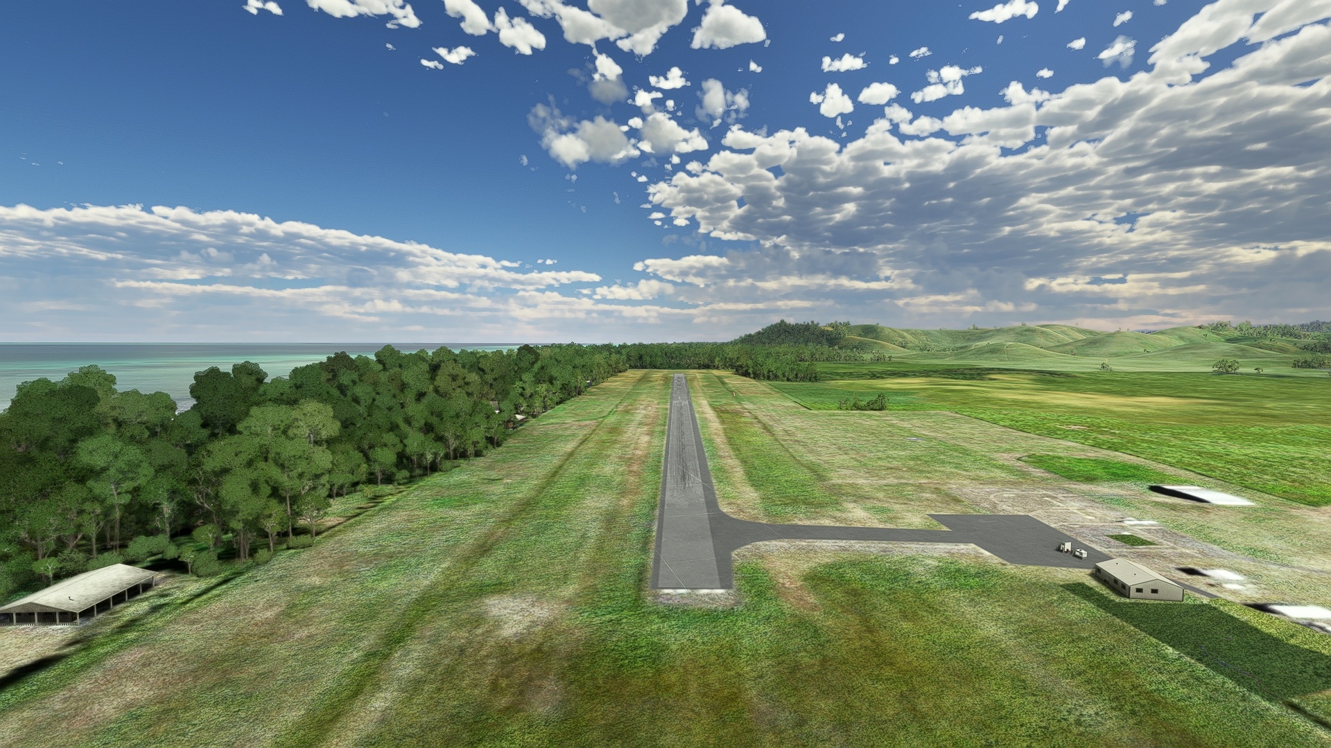
From the Moindah River, turn into a southeast course and sight Gouaro Bay in the distance. Just to the west of the bay lies Poe Airport, just inland of the shoreline.
Leg 8
Poe to Tontouta
Leg Distance: 52.17 Approximate time at 125kts: 25 minutes.
Poe(NWWB) to Gouaro Bay(POI34)
Distance: 3.5NM Bearing: 85° 2 minutes
After lifting off from Poe Airport, fly to the east and pass over Gouaro Bay.
Gouaro Bay(POI34) to Mouidou(POI35)
Distance: 12.9NM Bearing: 98° 6 minutes
From Gouaro Bay, sight Mouindou Bay to the southeast. The town of Mouindou lies just inland of the bay where Route 1 crosses the Mouindou River.
Mouidou(POI35) to Oua Tom(POI36)
Distance: 12.84NM Bearing: 113° 6 minutes
Continue on a southeast course, crossing over Teremba Bay, and sight the outpost of Oua Tom in the distance. The village is located along Route 1 just north of the Oua Tom River.
Oua Tom(POI36) to Tomo(TOMO)
Distance: 17.69NM Bearing: 105° 8 minutes
Gain a visual on Saint Vincent Bay to the southeast, easily identified by its large number of islands. The town of Tomo is located along the shore of the bay on its southern end.
Tomo(TOMO) to Tontouta(NWWW)
Distance: 5.24NM Bearing: 121° 3 minutes
From Tomo, pass over the Tontouta River and land at La Tontouta International Airport, located just inland of a number of small, low islands and marshes.
