The second largest island in the world (after Greenland), New Guinea is one of the most salient components of Oceania. It is located in the southwestern part of the Pacific Ocean, separated from its southerly neighbor, Australia, by the Torres Strait. New Guinea measures roughly 1,500 miles in length by 400 miles at its widest. It is oriented west-northwest–east-southeast, and has a main spine of mountains, the New Guinea Highlands, that run its entire length. These peaks are some of the most rugged and heavily vegetated in the world.
New Guinea is politically divided into two portions of roughly equal area: the eastern half, Papua New Guinea, and Western New Guinea, controlled by Indonesia and often called Indonesian New Guinea. The island has a long history of outside exploration and colonization. Due to its austere, extremely rugged nature, much of New Guinea’s interior has never been developed beyond simple trails and a few dirt airstrips – it remains largely untouched.
The New Guinea Challenge takes aviators into the heart of the most rugged and challenging portion of New Guinea to navigate from the air. The route begins at Wewak, Papua New Guinea, on the island’s northern coast. It then strikes into the interior of the vast island and takes pilots along the highest reaches of the New Guinea Highlands. It ends in Indonesian New Guinea on the island’s southern coast.
Total Legs: 8 Total Distance: 600 Total Time(125kts): 4 hours 48 minutes
Leg 1
Boram to Timbunke Airport
Leg Distance: 37.54 Approximate time at 125kts: 18 minutes.
Boram(AYWK) to Paliama(POI1)
Distance: 6.99NM Bearing: 192° 3 minutes
After lifting off from Wewak Airport on the shore of the Pacific Ocean, set a course to the south-southwest, and follow the corridor of the Wewak-Maprik Road to the village of Paliama. This part of New Guinea is characterized by the Northern New Guinea Lowland Rain and Freshwater Swamp Forest ecoregion.
Paliama(POI1) to Nagam River Mission(POI2)
Distance: 7.8NM Bearing: 193° 4 minutes
Continue on a south-southwestern course over dense forest and carefully search for a dirt track leading to Nagam River Mission, which lies just to the west of the Nagam River.
Nagam River Mission(POI2) to Koiwat(POI3)
Distance: 17.02NM Bearing: 188° 8 minutes
Visually pick up the river corridor that runs to the west of the Nagam River Mission and follow it south to the village of Koiwat. Note the large Sepik River in the distance and large bow to the north, on the banks of which lies the village of Timbunke. Koiwat lies north-northeast of Timbunke and the apex of the river bow.
Koiwat(POI3) to Timbunke Airport(TBE)
Distance: 5.73NM Bearing: 190° 3 minutes
Continue to Timbunke and land at the Timbunke Airport.

Leg 2
Timbunke Airport to Hauna Airstrip
Leg Distance: 78.44 Approximate time at 125kts: 38 minutes.
Timbunke Airport(TBE) to Kapaimeri Mission(POI4)
Distance: 14.76NM Bearing: 264° 7 minutes
After lifting off from Timbunke Airport, set a course to the west and keep to the north of the Sepik River. Visually identify a series of oxbows along the Sepik River and then find Kapaimeri Mission on the northeastern bank of the river just to the northwest of the series of oxbows.
Kapaimeri Mission(POI4) to Chambri Lake(POI5)
Distance: 10.33NM Bearing: 249° 5 minutes
Turn slightly to the south at Kapaimeri Mission and fly over the large, oval-shaped Chambri Lake.
Chambri Lake(POI5) to Ambunti(POI6)
Distance: 17.74NM Bearing: 273° 9 minutes
Set a heading just north of due west and gain a visual on the Sepik River in the western distance. Sight the sharp bend in the river just to the south of a small lake. Ambunti lies just to the west of the apex of the river’s bend.
Ambunti(POI6) to Sepik River(POI7)
Distance: 6.79NM Bearing: 260° 3 minutes
Turn slightly to the south of due west and sight a prominent oxbow lake just to the north of the main Sepik River in the western distance. Pass over the Sepik River just south of the oxbow lake.
Sepik River(POI7) to Swagup(POI8)
Distance: 12.09NM Bearing: 256° 6 minutes
Maintain heading and fly to the south of the corridor of the Sepik River. The village of Swagup lies just to the west of a prominent northern turn in the river.
Swagup(POI8) to Yarmu(YARMU)
Distance: 14.29NM Bearing: 263° 7 minutes
Continue following the corridor of the Sepik River and sight the Wario River to the south of the Sepik. The village of Yarmu lies on the north side of the Sepik River just to the west of where the Wario meets the Sepik.
Yarmu(YARMU) to Hauna Airstrip(AYHQ)
Distance: 2.44NM Bearing: 232° 1 minutes
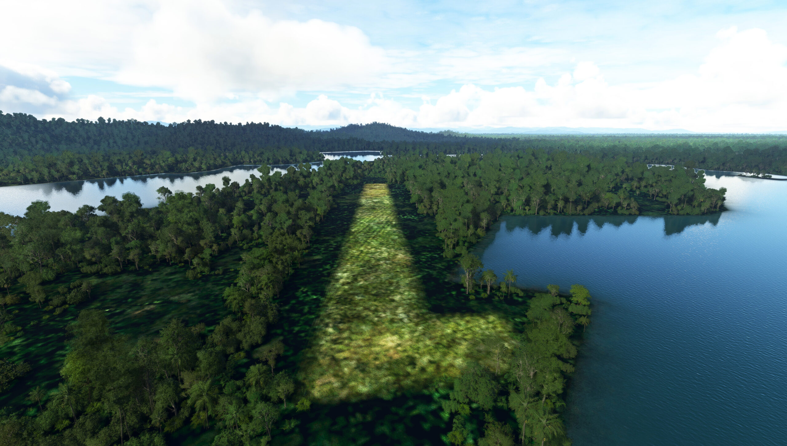
Turn onto a southwest heading at Yarmu and sight the Hauna Airstrip on a small peninsula surrounded on three sides by a partial oxbow lake on the south side of the Sepik River.

Leg 3
Hauna Airstrip to Yapsiei Airport
Leg Distance: 73.56 Approximate time at 125kts: 35 minutes.
Hauna Airstrip(AYHQ) to Yauemian(POI9)
Distance: 2.43NM Bearing: 228° 1 minutes
After lifting off from Hauna Airstrip, set a course to the southwest and eye the village of Yauenian, which lies on the south side of a small river that connects with the oxbow lake that surrounds the Hauna Airstrip.
Yauemian(POI9) to Oum(OUM)
Distance: 4.87NM Bearing: 306° 2 minutes
Turn to the northwest at Yauenian and head toward the apex of the prominent bend in the Sepik River just ahead. Pass over the bend and sight the village of Oum, which lies just to the northwest of the bend.
Oum(OUM) to Lake Warangai(POI10)
Distance: 13.24NM Bearing: 242° 6 minutes
Set a heading to the southwest at Oum and eye Lake Warangai in the distance and fly over its northern shore.
Lake Warangai(POI10) to May River(POI11)
Distance: 20.45NM Bearing: 253° 10 minutes
Turn slightly to the north, maintaining a west-southwest heading, and parallel the May River, flying to its south. Pass over the small village of Samo, and then pass over the May River itself.
May River(POI11) to Suranga(POI12)
Distance: 20.7NM Bearing: 252° 10 minutes
Maintain heading and sight the Abei River in the distance, which runs roughly north-to-south. Pass over the Abei River near the confluence of a number of east-west trending tributary rivers. Continue on course to the mountain village of Suganga. This region is classified as the Central Range Montane Rain Forest, and is characterized by very dense vegetation.
Suranga(POI12) to Yapsiei Airport(AYYP)
Distance: 11.87NM Bearing: 238° 6 minutes
Turn into a southwest heading after passing over Suganga and gain a visual on the Yapsiei River in the distance. The Yapsiei River airstrip lies on the north side of the river just to the west of the confluence of a number of tributaries to the Yapsiei.

Leg 4
Yapsiei Airport to Nipsan Airstrip
Leg Distance: 92.74 Approximate time at 125kts: 45 minutes.
Yapsiei Airport(AYYP) to Amanab Station(POI13)
Distance: 9.22NM Bearing: 287° 4 minutes
After lifting off from the Yapsiei River airstrip, set a course to the west-northwest and pass over the Sepik River. Flying to the south of the Sepik, cross the international border of Papua New Guinea and Indonesia. Pick up the course of a small river that runs northwest-southeast, and follow its course to Amanab Station.
Amanab Station(POI13) to Okben(OKBEN)
Distance: 13.18NM Bearing: 296° 6 minutes
Maintain course after passing over Amanab Station and fly over a north-south trending river then sight the Sungai Sobger River in the distance. The village of Okbem lies on the south side of a prominent bend in the river.
Okben(OKBEN) to Borme(BORME)
Distance: 19.59NM Bearing: 279° 9 minutes
Adjust course slightly to the south and pass over a series of heavily-forested peaks. Eye the Sungai Kloof River and then the village of Borme, which has a small airstrip on its periphery. Fly over Borme and adjust heading slightly to the north.
Borme(BORME) to Nongme(POI14)
Distance: 16.4NM Bearing: 296° 8 minutes
Follow the trend of the prominent river that flows to the northwest to the village of Nongme.
Nongme(POI14) to Bolakna(POI15)
Distance: 12.08NM Bearing: 274° 6 minutes
Adjust heading slightly to the south and pass over a north-south trending river and sight the prominent peak (5,315 feet above sea level) in the distance. The village of Bolakna, visually identifiable by its airstrip, is located just to the east of the peak.
Bolakna(POI15) to Nipsan Airstrip(WAWT)
Distance: 22.27NM Bearing: 286° 11 minutes
Adjust heading slightly to the north after passing over Bolakna. Sight the Em River and parallel its course, staying to its north, then sight a river system in the distance just to the east of a line of peaks, the highest of which is 9,285 feet above sea level. Pongtiku Airpirt lies at the base of the peaks along the river.

Leg 5
Nipsan Airstrip to Wamena
Leg Distance: 46.99 Approximate time at 125kts: 23 minutes.
Nipsan Airstrip(WAWT) to Wurigelebur(POI16)
Distance: 15.87NM Bearing: 264° 8 minutes
Lift off from Pongtiku Airport and set a west-southwest heading. Sight and fly over a small airstrip at the village of Kosarek and then fly over a small airstrip at the village of Wenput. Sight two rivers in the distance. The village of Wurigelebur lies between the two of these rivers. The route at this point is now beginning to traverse the island’s Central Range region.
Wurigelebur(POI16) to Piliam(POI17)
Distance: 7.04NM Bearing: 245° 3 minutes
At Wurigelebur, turn onto a southwest heading and follow the prominent river to the village of Piliam.
Piliam(POI17) to Baliem River(POI18)
Distance: 13.2NM Bearing: 250° 6 minutes
From Piliam, head to the west-southwest, and cross over the spine of the highlands in this part of New Guinea. Parallel the Mugi River, which trends east-west and fly over the point where it intersects with the Baliem River, which trends north-south.
Baliem River(POI18) to Wamena(WAVV)
Distance: 10.88NM Bearing: 319° 5 minutes
Follow the Baliem River to the city of Wamena, the capital of Highland Papua, and land at Wamena Airport.

Leg 6
Wamena to Illaga
Leg Distance: 81.92 Approximate time at 125kts: 39 minutes.
Wamena(WAVV) to Mountain Logotpaga(POI19)
Distance: 17.11NM Bearing: 291° 8 minutes
Lift into the air from Wamena Airport and set a course to the west-northwest. Parallel the Jalan Kimbim-Pyramid road and sight Mountai Logotpaga, a small village, in the distance.
Mountain Logotpaga(POI19) to Poedeme(POI20)
Distance: 11.69NM Bearing: 273° 6 minutes
From Mountain Logotpaga, adjust heading slightly to the south and follow a prominent road that loosely tracks the Baliem River and connects a number of villages. Continue to the village of Poedeme, which lies just to the south of the road and the Baliem River.
Poedeme(POI20) to Baliem River(POI21)
Distance: 7.5NM Bearing: 259° 4 minutes
Continue following the Baliem River from Poedeme.
Baliem River(POI21) to Karubaga(POI22)
Distance: 7.74NM Bearing: 253° 4 minutes
Continue following the Baliem River to the village of Karubaga, which lies at the confluence of the main Baliem River and the east fork of the Baliem.
Karubaga(POI22) to Agadugume(POI23)
Distance: 17.25NM Bearing: 264° 8 minutes
Continue following the Baliem River corridor to the west of Karubaga to the village of Agadugume. The route at this point is just to the north of the spine of the very highest line of peaks of New Guinea.
Agadugume(POI23) to Illaga(POI24)
Distance: 19NM Bearing: 279° 9 minutes
From Agadugume, adjust heading slightly to the north to a course just north of due west. Gain altitude and begin flying above the backbone of the highest part of New Guinea and sight the village of Ilaga in the distance.
Illaga(POI24) to Illaga(WAYL)
Distance: 1.63NM Bearing: 258° 1 minutes
Land at Puncak / Ilaga Airport. The airport lies almost due east of Puncak Jaya, the highest mountain on the island of New Guinea.

Leg 7
Illaga to Waghete Airport
Leg Distance: 95.97 Approximate time at 125kts: 46 minutes.
Illaga(WAYL) to Beoga(BEOGA)
Distance: 15.01NM Bearing: 308° 7 minutes
After lifting off from Puncak / Ilaga Airport, set a heading to the northwest and follow a line of peaks to the village of Beoga.
Beoga(BEOGA) to Puncak Jaya(POI25)
Distance: 20.14NM Bearing: 224° 10 minutes
Turn onto a southwest heading and begin increasing altitude. Puncak Jaya lies ahead. Also called Carstensz Pyramid, Puncak Jaya is the highest mountain on the island of New Guinea at 16,024 feet above sea level. It is also the highest mountain in Oceania and the highest island mountain in the world. The peak crowns the Central Range of New Guinea.
Puncak Jaya(POI25) to Doema(DOEMA)
Distance: 19.98NM Bearing: 279° 10 minutes
After passing by Puncak Jaya, turn onto a course just north of due west and pass just to the north of the Grasberg open pit gold and copper mine, one of the largest mines in the world. Parallel the spine of the highest of the Central Range, remaining just to the south of the crest. Sight the village of Doema in the distance.
Doema(DOEMA) to Dara(DARA)
Distance: 11.4NM Bearing: 270° 5 minutes
The village of Dara lies just to the west of Doema on the southern slopes of the crest of the Central Range.
Dara(DARA) to Paniai Lake(POI26)
Distance: 18.83NM Bearing: 276° 9 minutes
Gain a visual on Paniai Lake in the distance, and fly over the southeastern shore of the large lake.
Paniai Lake(POI26) to Waghete Airport(WAXP)
Distance: 10.61NM Bearing: 235° 5 minutes
Turn onto a southwest heading at Paniai Lake and sight Tigi Lake. Tigi Airstrip lies on the northern shore of the lake.

Leg 8
Waghete Airport to Kiruru Airport
Leg Distance: 93.34 Approximate time at 125kts: 45 minutes.
Waghete Airport(WAXP) to Mabado(POI27)
Distance: 9.63NM Bearing: 251° 5 minutes
After lifting off from Tigi Airstrip, set a heading to the west-southwest. The village of Mabado lies at the end of a dirt road on the eastern bank of a north-south trending river.
Mabado(POI27) to Gunung Jaramaniapuka(POI28)
Distance: 12.84NM Bearing: 261° 6 minutes
Continue on course and gain a visual on a prominent north-south trending river in the western distance. The village of Gunung Jaramaniapuka lies along this river.
Gunung Jaramaniapuka(POI28) to Paraoka(POI29)
Distance: 24.09NM Bearing: 196° 12 minutes
Turn to the south-southwest once over Gunung Jaramaniapuka. Gain a visual on the southern coast of New Guinea and the Pacific Ocean’s Arafura Sea. Sight the Paraoka River, which runs north-south. The village of Paraoka lies where the Paraoka River empties into the Arafura Sea.
Paraoka(POI29) to Umari(UMARI)
Distance: 22.78NM Bearing: 276° 11 minutes
Follow the coastline to the west from Paraoka to the village of Umari, which lies just inland of the coast.
Umari(UMARI) to Potawai(POI30)
Distance: 19.4NM Bearing: 285° 9 minutes
Adjust course slightly to the north and parallel the coast, flying just inland. The village of Potawai lies amid a vast wetland region with numerous rivers.
Potawai(POI30) to Kiruru Airport(WANH)
Distance: 4.6NM Bearing: 307° 2 minutes
Continue to the west northwest from Potawai and land at the airstrip at the village of Potowaiburu.

