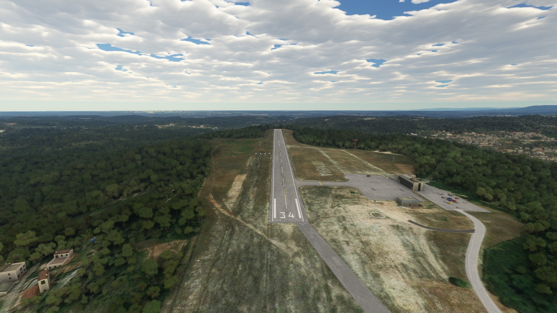
This north-south aerial adventure takes you along Portugal’s stunning Atlantic coastline.
Beginning at the tiny Aeródromo de Cerval, located in the countryside just inland of the sea at the far northern end of Portugal, you’ll ply the coastline all the way to the country’s southern extremity.
You’ll explore all that this part of the Iberian Peninsula offers, including modern cities, tiny hamlets, and a full range of natural creations.
Assistance on the trip will be available in the form of a ‘Back on Track’ button on the VFR Map — however, be advised that using this will disable achievements tied to the activity.
Total Legs: 6 Total Distance: 487 Total Time(125kts): 3 hours 53 minutes
Leg 1
Aerodromo Do Cerval to Francisco Sa Carneiro
Leg Distance: 49.3 Approximate time at 125kts: 24 minutes.
Aerodromo Do Cerval(LPVA) to Rio Mino(POI1)
Distance: 3.79NM Bearing: 242° 2 minutes
After lifting off from Aeródromo do Cerval, head to the southwest, to Rio Miño, which forms the northern border of Portugal with Spain.
Rio Mino(POI1) to Vila Praia de Ancora(POI2)
Distance: 8.96NM Bearing: 214° 4 minutes
Continue to the southwest, to Vila Praia de Âncora, which lies on the Atlantic coast.
Vila Praia de Ancora(POI2) to Rio Lima Estuary(POI3)
Distance: 7.65NM Bearing: 169° 4 minutes
Just south of Vila Praia de Âncora is the Rio Lima Estuary, where the Rio Lima, which crosses northern Portugal, meets the Atlantic Ocean.
Rio Lima Estuary(POI3) to Parque Natural do Litoral Norte(POI4)
Distance: 7.08NM Bearing: 184° 3 minutes
Continue southward along the Atlantic coast to Parque Natural do Litoral Norte, which protects the dunes, dune grasses, and wildlife of the coastline.
Parque Natural do Litoral Norte(POI4) to Esposende(POI5)
Distance: 3.37NM Bearing: 143° 2 minutes
Follow the coast to the southeast to visit the small city of Esposende.
Esposende(POI5) to Povoa de Varzim(POI6)
Distance: 9.29NM Bearing: 174° 4 minutes
Póvoa de Varzim, a coastal city, lies nearly due south of Esposende.
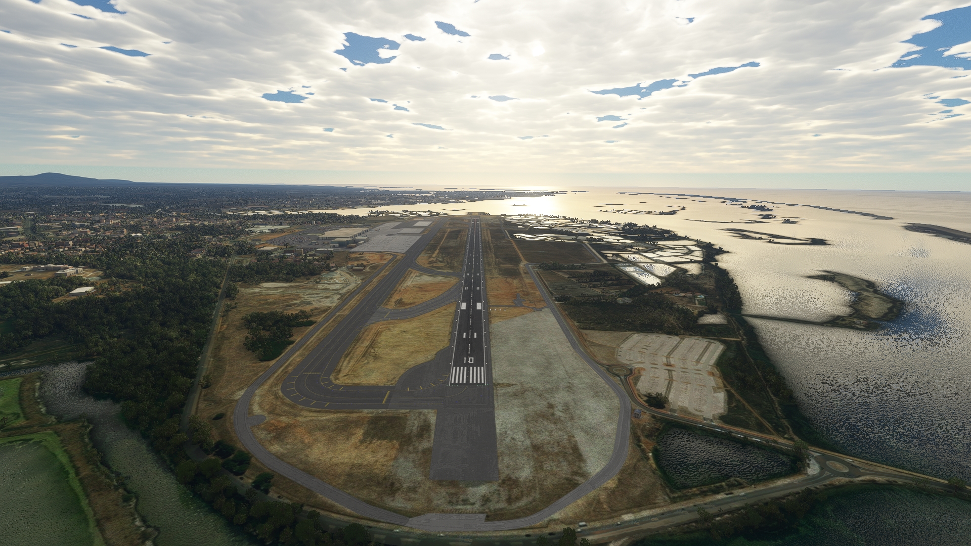
Povoa de Varzim(POI6) to Francisco Sa Carneiro(LPPR)
Distance: 9.16NM Bearing: 159° 4 minutes
Land at Porto Airport, which lies to the south-southeast of Póvoa de Varzim.
Leg 2
Francisco Sa Carneiro to Coimbra
Leg Distance: 73.59 Approximate time at 125kts: 35 minutes.
Francisco Sa Carneiro(LPPR) to Rio Douro(POI7)
Distance: 5.56NM Bearing: 163° 3 minutes
Once in the air again, head to the south-southeast to Rio Douro, the most powerful river (by flow rate) in the Iberian Peninsula.
Rio Douro(POI7) to Valborn(POI8)
Distance: 3.44NM Bearing: 107° 2 minutes
From Rio Douro, head east-southeast to Valbom, a small community located on the Rio Douro that is known for its fishing and crafts.
Valborn(POI8) to Crestuma(POI9)
Distance: 4.91NM Bearing: 144° 2 minutes
From Valbom, fly southeast to Crestuma, a city on the southern bank of the Rio Douro.
Crestuma(POI9) to Santa Maria de Feira(POI10)
Distance: 8.57NM Bearing: 194° 4 minutes
Head south-southwest to Santa Maria de Feira, an ancient crossroads that is home to the Castle of Santa Maria de Feira, a notable landmark.
Santa Maria de Feira(POI10) to Estarreja(POI11)
Distance: 10.37NM Bearing: 188° 5 minutes
South of Santa Maria de Feira lies Estarreja, a small city just inland a number of estuaries.
Estarreja(POI11) to Aveiro(POI12)
Distance: 7.77NM Bearing: 210° 4 minutes
Continue to the southwest to the city of Aveiro, known as the "Portuguese Venice" due to the large network of canals in the city.
Aveiro(POI12) to Mealhada(POI13)
Distance: 18.18NM Bearing: 151° 9 minutes
Turn to the southeast once past Aveiro, heading inland, to reach the city of Mealhada.
Mealhada(POI13) to Coimbra(POI14)
Distance: 10.82NM Bearing: 169° 5 minutes
South-southeast of Mealhada lies Coimbra, the fourth largest population center in Portugal, and a region known for its stunning architecture.
Coimbra(POI14) to Coimbra(LPCO)
Distance: 3.97NM Bearing: 227° 2 minutes
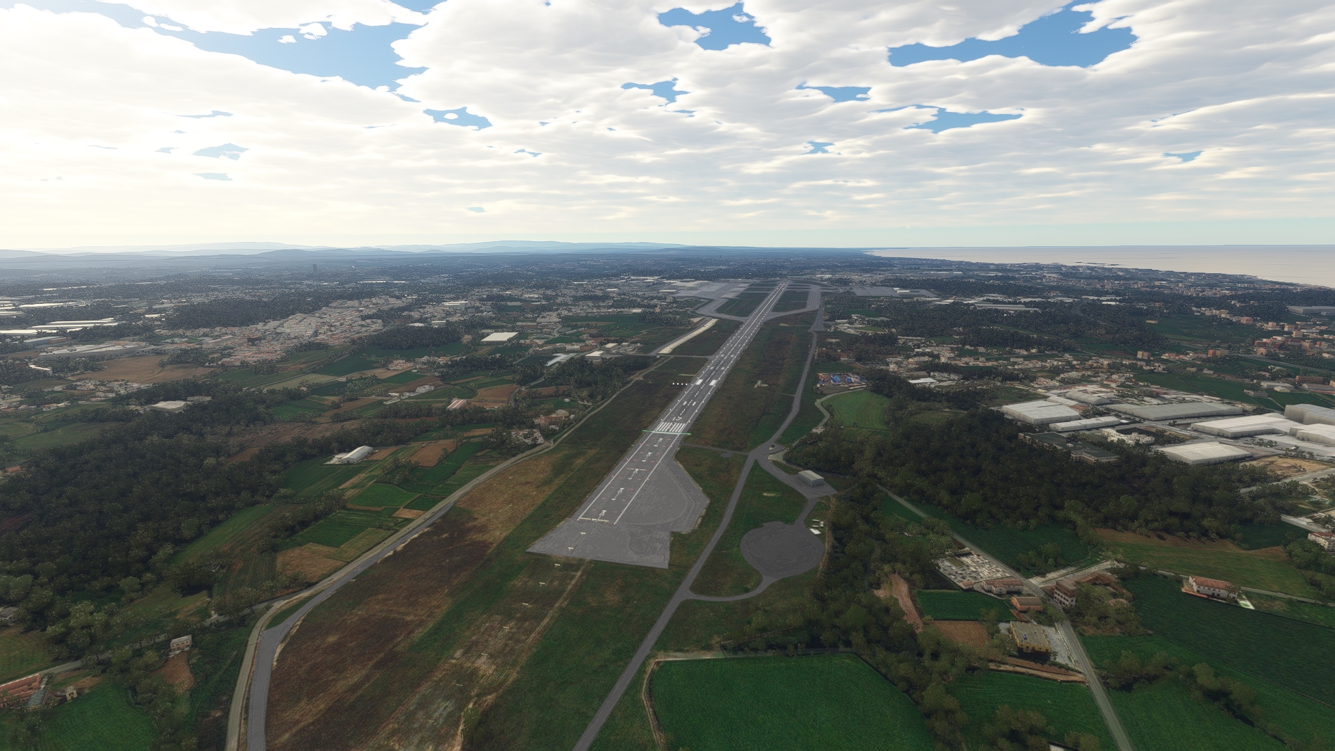
Turn to the southwest at Coimbra and land at Coimbra Airport, a small airfield.
Leg 3
Coimbra to Santa Cruz
Leg Distance: 107.98 Approximate time at 125kts: 52 minutes.
Coimbra(LPCO) to Figueira da Foz(POI15)
Distance: 17.78NM Bearing: 270° 9 minutes
Once back in the air, head due west, to Figueira da Foz, a city that lies at the midpoint of the Iberian Peninsula's Atlantic coast.
Figueira da Foz(POI15) to Pombal(POI16)
Distance: 17.48NM Bearing: 145° 8 minutes
At the coast, turn to the southeast, heading inland to the city of Pombal.
Pombal(POI16) to Fatima(POI17)
Distance: 17.33NM Bearing: 187° 8 minutes
South of Pombal lies the city of Fátima.
Fatima(POI17) to Nazare(POI18)
Distance: 18.48NM Bearing: 266° 9 minutes
Once past Fátima, head west to the coast again, to visit the city of Nazaré, a famous tourist destintion and heart of the "Silver Coast" of Portugal.
Nazare(POI18) to Alcobaca(POI19)
Distance: 5.33NM Bearing: 129° 3 minutes
From the cost, turn to the southeast, heading inland, to visit the historic city of Alcobaça.
Alcobaca(POI19) to Obidos(POI20)
Distance: 13.93NM Bearing: 218° 7 minutes
From Alcobaça, set a course to the southwest, and fly over the town of Óbidos, which lies just inland of the Atlantic coast.
Obidos(POI20) to Santa Cruz(LPSC)
Distance: 17.65NM Bearing: 217° 8 minutes
Continue flying to the southwest and land at Santa Cruz Airfield, a small single-runway facility just inland of the Atlantic shoreline.

Leg 4
Santa Cruz to Evora
Leg Distance: 96.38 Approximate time at 125kts: 46 minutes.
Santa Cruz(LPSC) to Ericeira(POI21)
Distance: 9.6NM Bearing: 192° 5 minutes
Back in the sky, set a course to the south-southwest, and fly over Ericeira, a town that overlooks the Atlantic ocean and is considered the surfing capital of Europe.
Ericeira(POI21) to Sintra(POI22)
Distance: 10.15NM Bearing: 174° 5 minutes
The community of Sintra, which lies on a small rise and overlooks the Atlantic Ocean, lies just south of Ericeira.
Sintra(POI22) to Lisbon(POI23)
Distance: 11.4NM Bearing: 115° 5 minutes
From Sintra, head southeast, flying overland, and reach Lisbon, Portugal's capital and largest city.
Lisbon(POI23) to Almada – Cristo Rei(POI24)
Distance: 2.54NM Bearing: 185° 1 minutes
From Lisbon, fly south, crossing the Tagus River near the span of the 25 de Abril Bridge to reach Cristo Rei at Almana, a large Catholic shrine.
Almada – Cristo Rei(POI24) to Abufeira de Venda Velha(POI25)
Distance: 15.83NM Bearing: 89° 8 minutes
Fly due east to reach Albufeira de Venda Velha.
Abufeira de Venda Velha(POI25) to Vendas Novas(POI26)
Distance: 16.7NM Bearing: 94° 8 minutes
Continue east to the city of Vendas Novas.
Vendas Novas(POI26) to Montemor-o-Novo(POI27)
Distance: 12.57NM Bearing: 98° 6 minutes
Turn slightly to the south, heading in an east-southeasterly direction, to the city of Montemor-o-Novo.
Montemor-o-Novo(POI27) to Evora(?VORA)
Distance: 14.66NM Bearing: 108° 7 minutes
Continue on your course to the city of Évora, known for its well-preserved historic artifacts dating to a number of past eras, including the middle ages.
Evora(?VORA) to Evora(LPEV)
Distance: 2.93NM Bearing: 161° 1 minutes
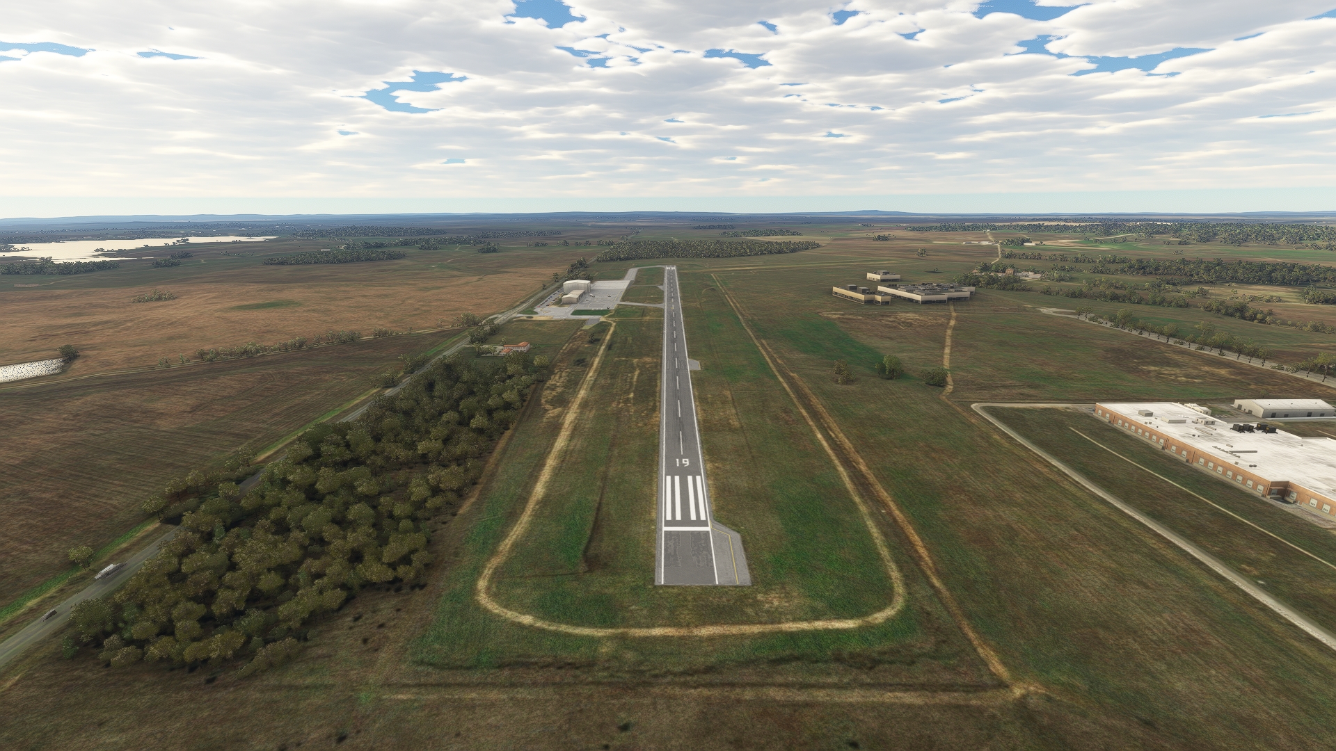
Land at Évora Airport, which lies just to the south-southeast of the city of Évora.
Leg 5
Evora to Sines
Leg Distance: 57.77 Approximate time at 125kts: 28 minutes.
Evora(LPEV) to Alcacovas(POI28)
Distance: 14.73NM Bearing: 237° 7 minutes
From Évora Airport, head southwest to the city of Alcáçovas.
Alcacovas(POI28) to Albufeira de Vale de Lameira(POI29)
Distance: 3.58NM Bearing: 228° 2 minutes
Continue on your course toward the sea to Albufeira de Vale de Lameira, a long, narrow reservoir.
Albufeira de Vale de Lameira(POI29) to Albufeira de Vale do Gaio(POI30)
Distance: 4.68NM Bearing: 204° 2 minutes
Fly South West.
Albufeira de Vale do Gaio(POI30) to Grandola(POI31)
Distance: 16.29NM Bearing: 249° 8 minutes
Set a heading to the southwest to reach Grândola, a town surrounded by lush fields and forests.
Grandola(POI31) to Santiago do Cacem(POI32)
Distance: 11.17NM Bearing: 213° 5 minutes
Continue to the southwest to visit Santiago do Cacem.
Santiago do Cacem(POI32) to Sines(LPSI)
Distance: 7.32NM Bearing: 228° 4 minutes
Continue on your course and land at Sines Airstrip, which lies just inland of the coast.
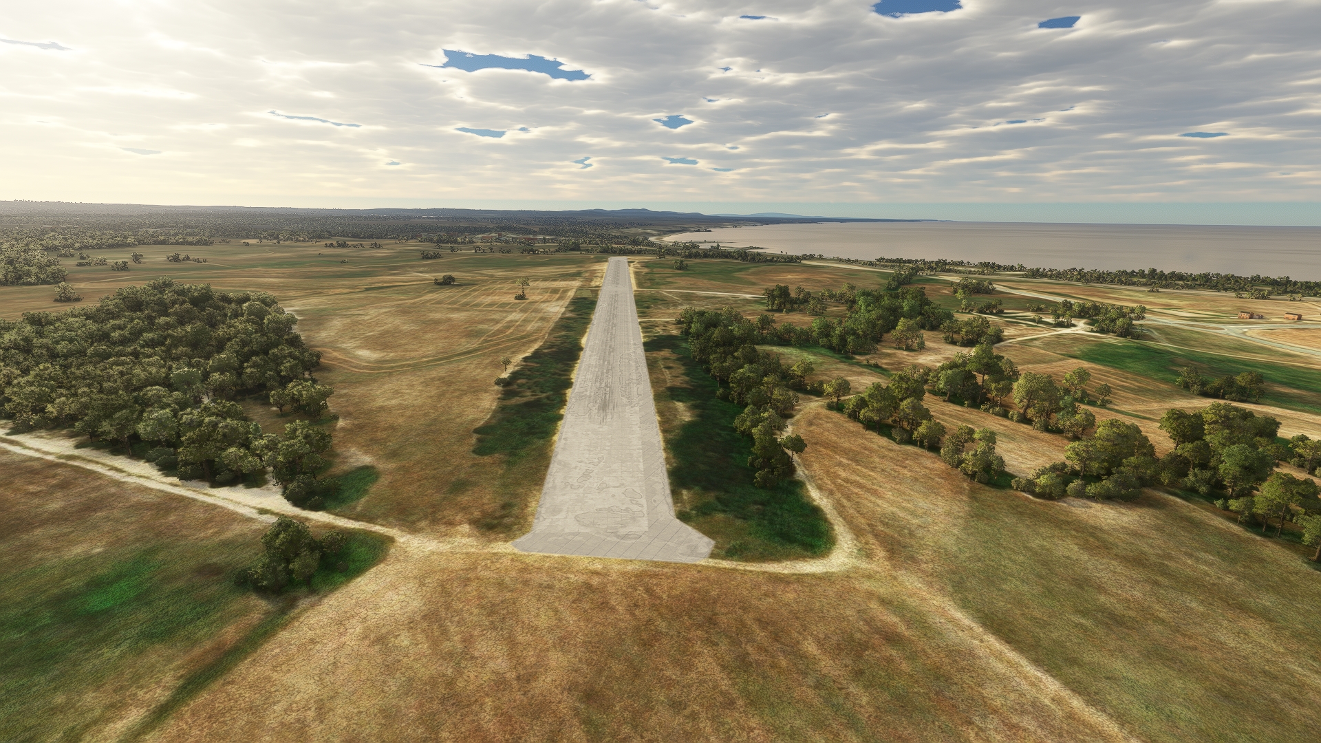
Leg 6
Sines to Faro
Leg Distance: 102.15 Approximate time at 125kts: 49 minutes.
Sines(LPSI) to Abufeira de Morgavel(POI33)
Distance: 3.57NM Bearing: 129° 2 minutes
Once in the air, head to the southeast to Abufeira de Morgavel.
Abufeira de Morgavel(POI33) to Porto Corvo(POI34)
Distance: 3.63NM Bearing: 215° 2 minutes
To the southwest lies Porto Covo, famous for its beautiful beaches and temperate weather.
Porto Corvo(POI34) to Vila Nova de Milfontes(POI35)
Distance: 7.45NM Bearing: 177° 4 minutes
Fly due south from Porto Corvo to visit Vila Nova de Milfontes, built where the MIra River meet the Atlantic Ocean.
Vila Nova de Milfontes(POI35) to Odemira(POI36)
Distance: 10.17NM Bearing: 141° 5 minutes
Turn to the southeast to fly over Odemira, a town on the Mira River known for its rich agriculture production.
Odemira(POI36) to Albufeira de Sancta Clara(POI37)
Distance: 10.95NM Bearing: 118° 5 minutes
Continue on a southeasterly heading to Albufeira de Santa Clara.
Albufeira de Sancta Clara(POI37) to Sao Bartolomeu de Messines(POI38)
Distance: 17.16NM Bearing: 156° 8 minutes
Continue on course to São Bartolomeu de Messines, a small, historic city with archaeological remnants that date to the earliest days of humanity.
Sao Bartolomeu de Messines(POI38) to Salir(SALIR)
Distance: 11.51NM Bearing: 96° 6 minutes
East of São Bartolomeu de Messines lies Salir, a small village.
Salir(SALIR) to Sao Bras de Alportel(POI39)
Distance: 9.15NM Bearing: 125° 4 minutes
From Salir, set a heading to the southeast to visit São Brás de Alportel, a town with artifacts that date to the stone age.
Sao Bras de Alportel(POI39) to Tavira(POI40)
Distance: 11.44NM Bearing: 99° 5 minutes
East of São Brás de Alportel lies Tavira, a city on the Atlantic Ocean's Gulf of Cadiz.
Tavira(POI40) to Fuzeta(POI41)
Distance: 6.57NM Bearing: 228° 3 minutes
Follow the coastline to the southwest to the beach community of Fuseta.
Fuzeta(POI41) to Faro(LPFR)
Distance: 10.55NM Bearing: 258° 5 minutes
From Fuseta, head west-southwest and land at Faro Airport, bringing this journey along Portugal's coast to an end.
